The United States has swims of every kind: cold Pacific coves and warm Hawaiian bays, a spring fed pool in a city park, a river rising from limestone springs, an alpine lake, a desert waterfall and a hot springs pool in the Rockies. Some are where the country's open water swimmers train, from the Dolphin Club in San Francisco to the Ironman course in Lake Placid.
These ten run from California, Nevada, Arizona and Colorado through Texas, Illinois and Florida to New York and Hawaii. For each one you get the classic swims, the water and the best season, how to get there, the fees, permits and rules, how hard it is and where to stay. Every fact comes from park agencies, city and tribal sites, clubs, event organisers or the other pages linked at the bottom.
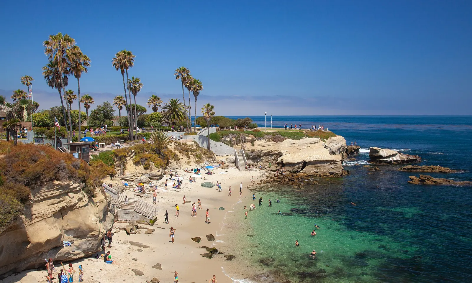
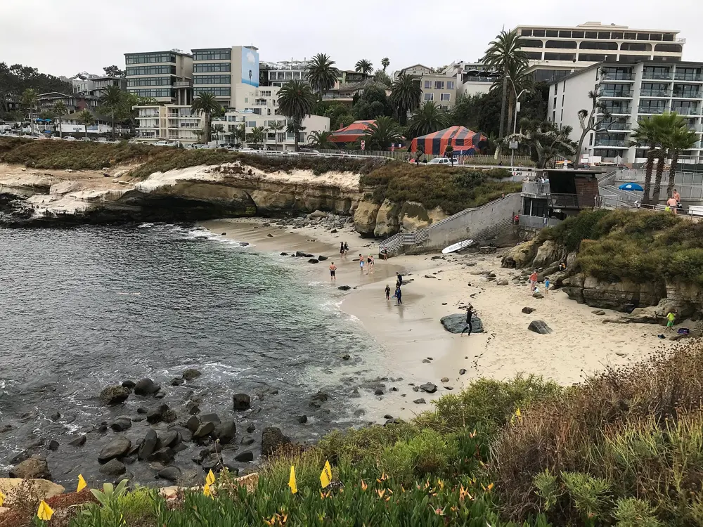
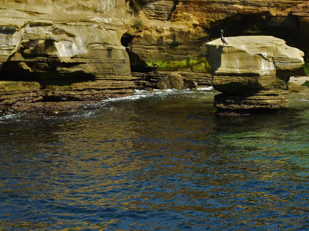
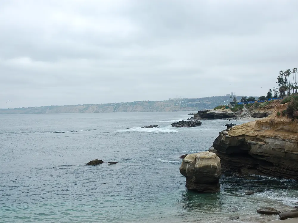
La Jolla Cove is a very small, north facing beach between sandstone cliffs in San Diego, and its marked swim buoys make it the start of San Diego's best known ocean swims. The summer surf is small, the water is often clear enough to see more than 30 feet down, and the cove lies inside the San Diego La Jolla Underwater Park Ecological Reserve, where fishing and taking anything from the water is not allowed. A San Diego Coastkeeper writer calls a swim from the Cove out to the buoys always an adventure, and a swim race has been held here since 1916.
The route
The classic swim heads out from the beach past the orange buoys and then runs parallel to the coast. From April to October the city places nine buoys that mark the safe swimming area at the Cove and La Jolla Shores, among them a quarter mile swim buoy and a half mile swim buoy, each in about 17 feet of water. Regulars swim out to one or the other and back. The La Jolla Cove Swim, first held in 1916 as the Rough Water Swim, uses a 250 yard course for children, the one mile triangular Jewel course and a three mile course to Scripps Pier and back. A separate Pier to Cove swim covers 1.5 miles from Scripps Pier to the Cove and is open only to experienced swimmers.
When to go
Summer brings the smallest surf and the buoys are in from 1 April to 31 October, which together make late spring to early autumn the main season. Come early in the day, before the beach fills.
Getting there
The Cove is in the village of La Jolla, in the city of San Diego, and is served by public transport. It has restrooms, showers and picnic areas.
Permits and booking
No permit is needed to swim. The Cove is inside the ecological reserve, so fishing and removing objects are prohibited. Alcohol, glass containers, smoking, camping and dogs are not allowed on the beach.
How hard it is
This is open ocean. The Cove is one of nine San Diego beaches with a permanent lifeguard station, but the lifeguards are on the beach, not beside you out at the buoys. A local guide warns that anyone who is not a regular open water swimmer should not swim the buoy route alone. The Pier to Cove event describes itself as an open ocean, rough water swim.
Where to sleep
La Jolla village, on the cliffs above the Cove, has hotels and guest houses within walking distance of the beach, and the rest of San Diego is a short drive south.
Tips
Swim with someone who knows the Cove for your first trip to the buoys.
Call the lifeguards on 619 221 8899 for conditions before you go.
1.5 miles from Alcatraz in the Escape from Alcatraz swim
Water
Mid 50s F most of the year
Clubs
Dolphin Club, founded 1877, and the South End Rowing Club
Day use
Dolphin Club $12, Monday, Wednesday and Friday
Why go
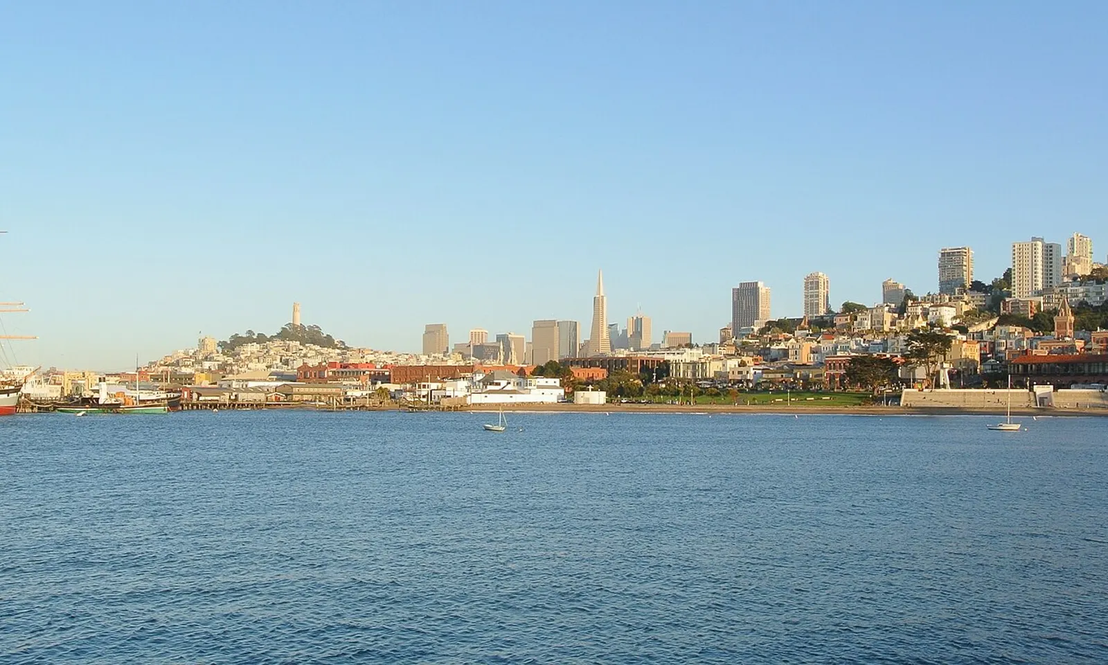
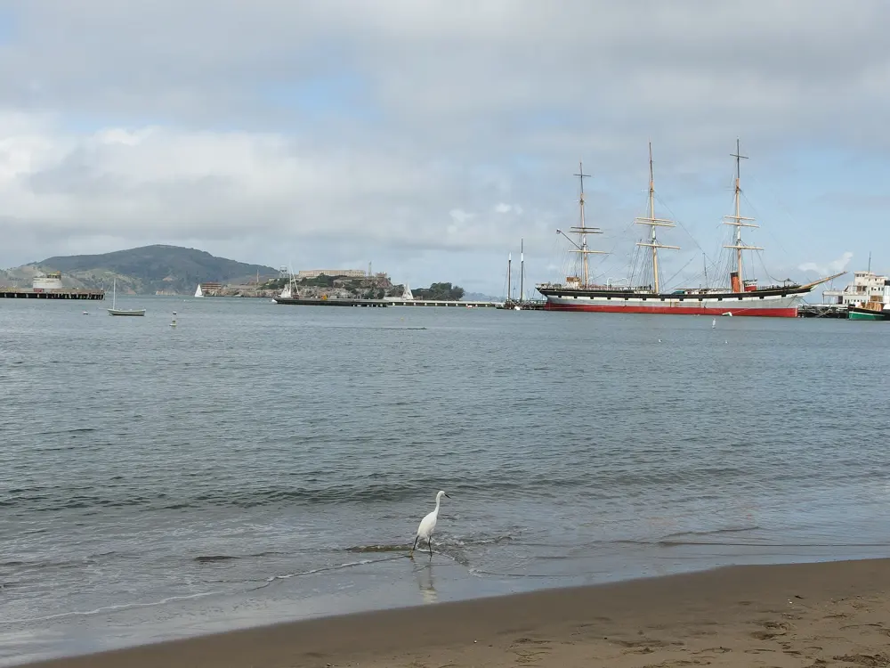
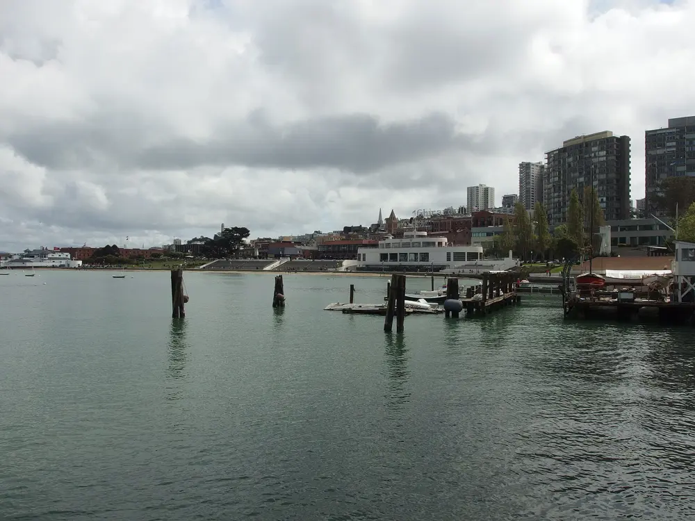
Aquatic Park Cove, at the foot of Van Ness Avenue, is a sheltered lagoon of San Francisco Bay with a sand beach, a curved pier and historic square riggers moored alongside. Two clubs at its east corner, the South End Rowing Club and the Dolphin Club, each with a dock, boathouse, locker rooms and sauna, have been the centre of the city's open water swimming since the 1870s. Members swim through the winter, many of them without wetsuits, and the cove is where swimmers train for crossings from Alcatraz.
The route
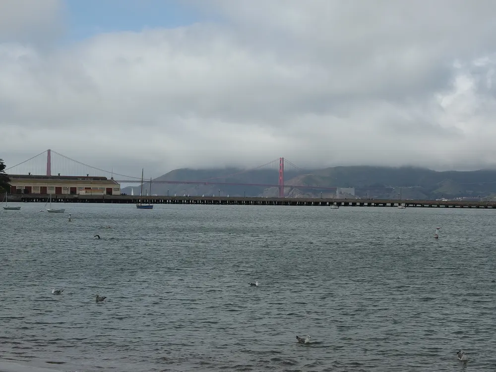
Inside the cove you can swim laps along a buoy line close to shore, or go round the edge past the piers for a longer swim. The Municipal Pier, built in 1939, curves out from Black Point and nearly meets the Hyde Street Pier, leaving a narrow gap. Beyond the breakwater are swift tidal currents and wind chop, and outside lies Alcatraz Island. The Escape from Alcatraz Triathlon starts with a 1.5 mile swim from the water beside the island to Marina Green; the 2026 race was on 6 and 7 June. Each winter close to 200 Dolphin Club members try to swim 40 miles between 21 December and 21 March.
When to go
The water is cold in every season, hovering in the mid 50s F, so the cove is a year round swim and summer is not much warmer. Swimmers have recorded 53 F in the cove; a warm October day can bring the Bay close to 64 F.
Getting there
Follow Van Ness Avenue north to its end at San Francisco Maritime National Historical Park. The beach is in front of the Maritime Museum bathhouse, and the Dolphin Club is at 502 Jefferson Street.
Permits and booking
No permit is needed to swim from the beach. Only sailboats are allowed in the cove, because so many people swim there, and sailors must keep a lookout for swimmers. Non members can use the Dolphin Club on Monday, Wednesday and Friday for $12 in cash or by cheque, or $12.67 by card, after signing the club waiver: 8 am to 5 pm from May to October and 9 am to 5 pm from November to April, never on public holidays.
How hard it is
Cold is the main challenge. There are no lifeguards in the cove. In December 2017 the park closed it to swimming for a time after several swimmers were bitten by a marine mammal; it advises keeping at least 50 feet from sea lions and harbour seals, staying close to shore and swimming in groups. Swims outside the breakwater meet strong currents and should be done with a club or an organised event.
Where to sleep
Fisherman's Wharf, just east of the cove, has many hotels, and the rest of the city is close by on public transport.
Tips
Both clubs welcome visitors and can find you a swim guide; wetsuits are accepted in the cove.
Ring the Dolphin Club's front door bell to get in on a day use visit.
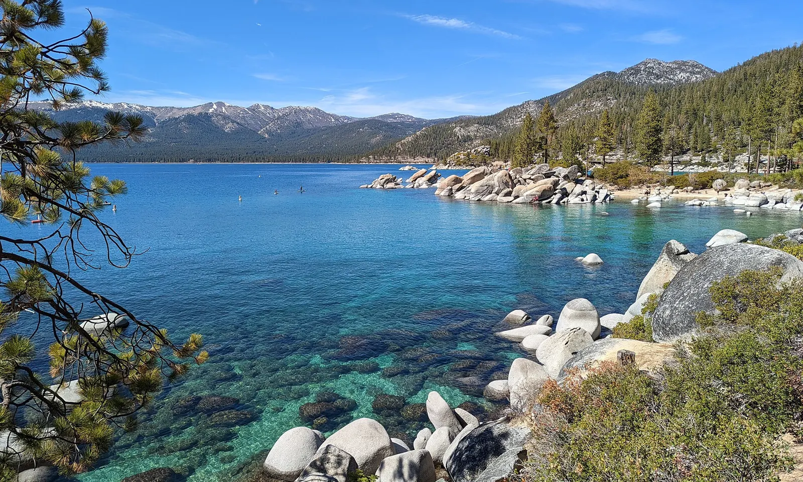
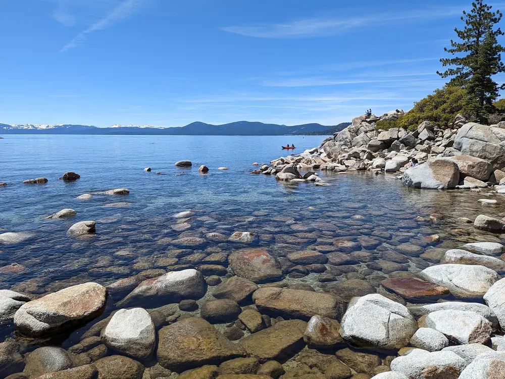
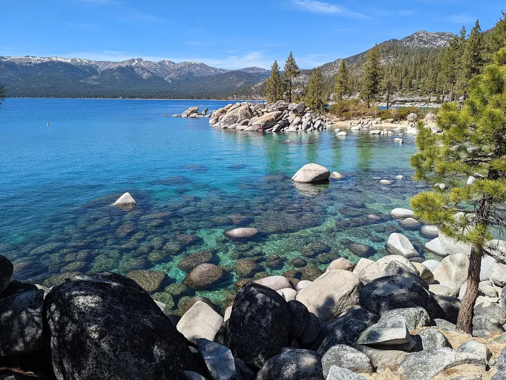
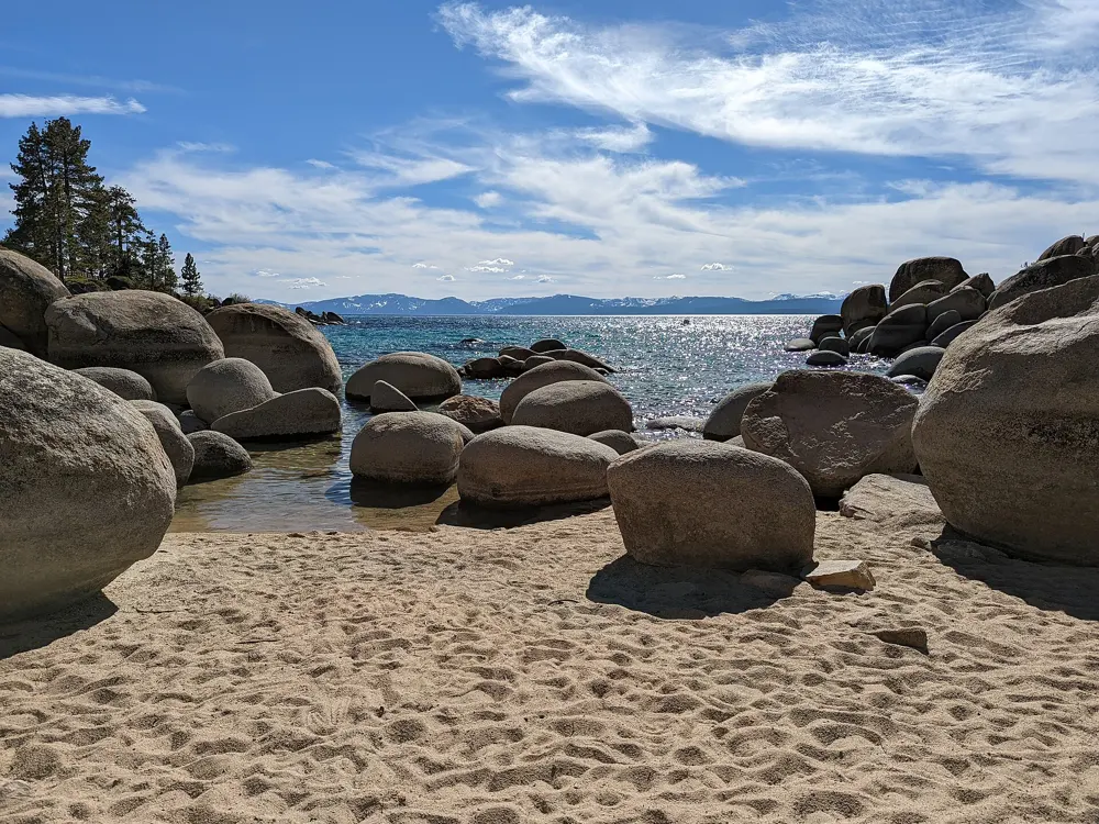
Lake Tahoe, on the border of California and Nevada, is the largest alpine lake in North America and the second deepest lake in the United States, about 22 miles long and 12 wide, and it is famous for the clarity of its water. Sand Harbor, on the Nevada east shore, is where that water is at its best for a swim: gently sloping sand beaches between rounded granite boulders, with the lake turning from green to deep blue a few strokes out.
The route
Swim from the main beach or the smaller coves between the boulders, where the water is shallow and clear over sand and rock. The Sand Harbor to Memorial Point Trail, half a mile long, and the accessible Sand Point Nature Trail, about a third of a mile, follow the shore past more coves you can walk down to. The Tahoe East Shore Trail, 3 miles and paved, links Incline Village to Sand Harbor, so you can walk or cycle in and swim at the end.
When to go
Summer is the swimming season. Beach Patrol is on duty from Memorial Day to Labor Day, and in July and August the Lake Tahoe Shakespeare Festival plays on the beach in the evenings. Those are also the months when the park is busiest and may close when full. Expect cold water, even in high summer.
Getting there
Sand Harbor is at 2005 Highway 28, Incline Village, Nevada. Parking on Highway 28 outside the designated area at Memorial Point is prohibited, and drivers who do so are not admitted. The East Shore Express shuttle, which returned in 2024, runs from paid parking at the Tunnel Creek lot, 1102 Tahoe Boulevard.
Permits and booking
Entry is $10 per vehicle, or $15 for vehicles from outside Nevada. From 15 May to 30 September a day use reservation is needed for vehicle entry. The park opens at 8 am and closes an hour after sunset. Dogs are allowed only from 15 October to 15 April, on a leash. No glass bottles are allowed in the waterfront areas, there is no camping, and charcoal and wood fires are prohibited.
How hard it is
The beaches are gentle and the water is calm on most summer mornings. The cold is the hazard: stay close to shore unless you are used to cold water, and swim with someone. Beach Patrol covers only the summer season.
Where to sleep
There is no camping at Sand Harbor. Incline Village, at the other end of the East Shore Trail, has hotels and rentals, and the towns around the lake have many more.
Tips
Book the day use reservation early for a summer weekend, and have another beach in mind in case the park is full.
Use the East Shore Express or the trail from Incline Village to avoid the parking problem altogether.
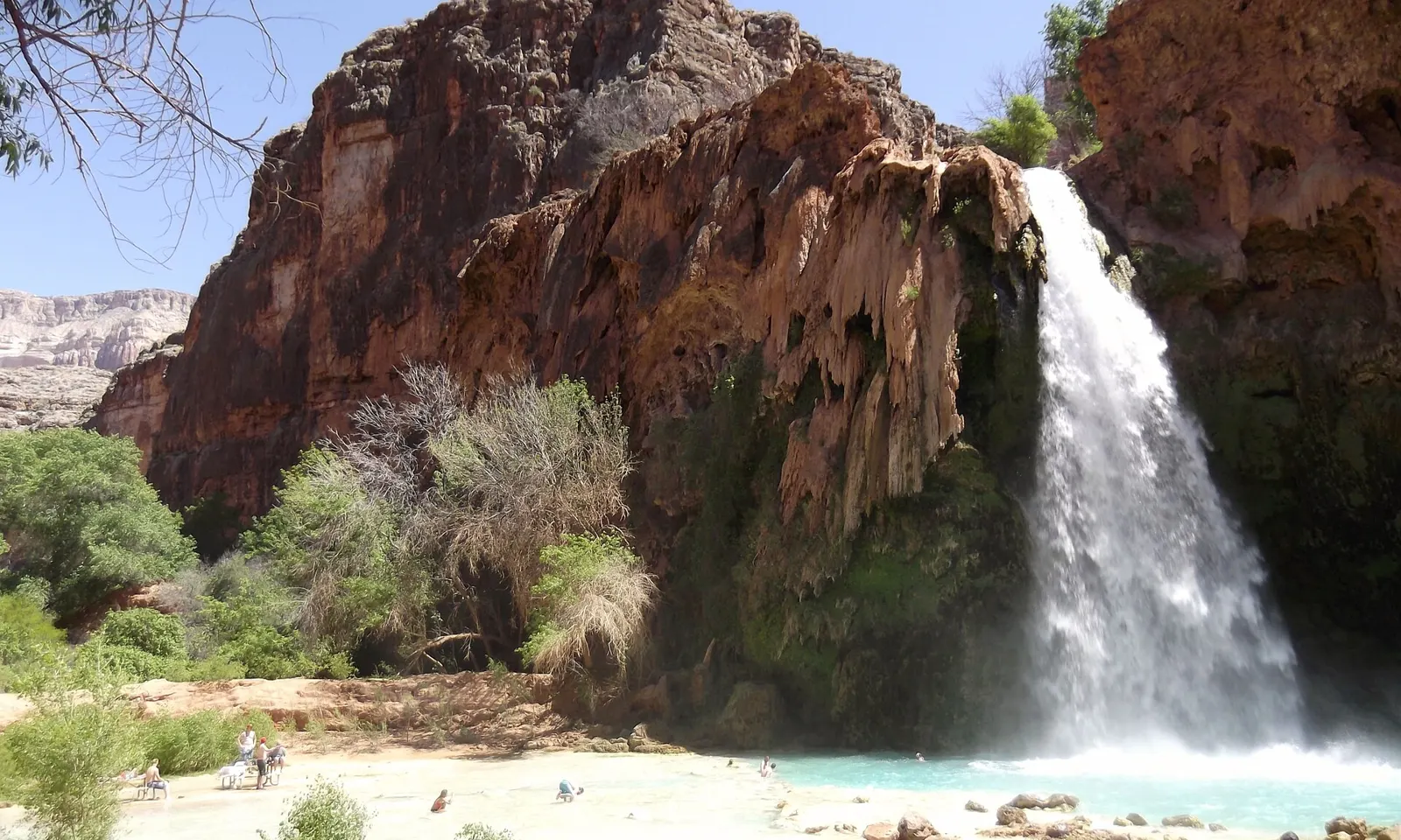
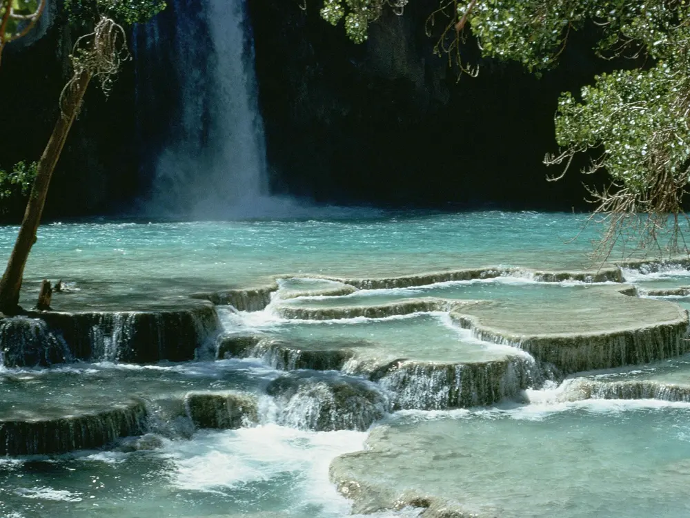
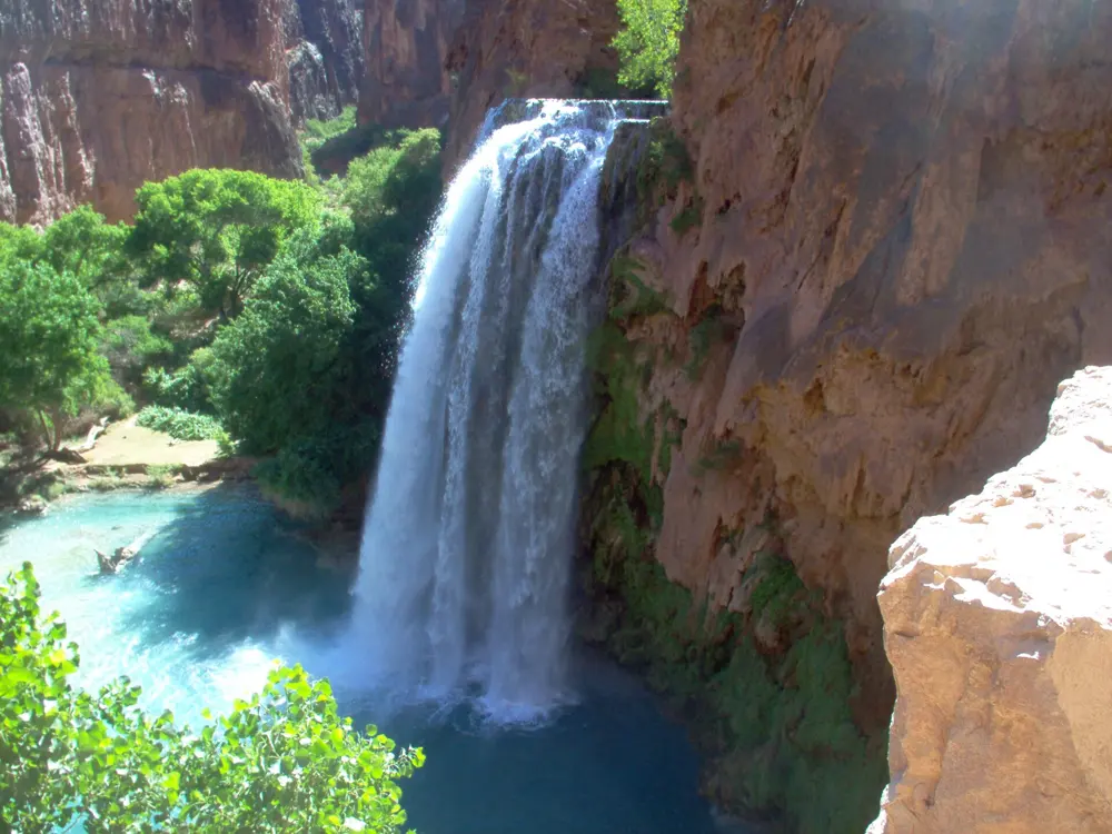
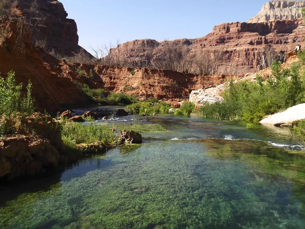
Havasu Falls drops 90 to 100 feet over a red cliff in a side canyon of the Grand Canyon, into a series of blue green plunge pools on the land of the Havasupai Tribe. The colour comes from calcium carbonate in Havasu Creek, which also builds the travertine dams that hold the pools. Getting there is a long hike, and the reward is days of swimming in blue green pools below desert walls.
The route
The swim is the falls themselves: the big pool below Havasu Falls and the travertine terraces along Havasu Creek. You can swim behind the falls, though drownings have happened there. The campground lies along the creek beyond Havasu Falls, and Mooney, Navajo and Beaver Falls are on the same creek. The hike in from Hualapai Hilltop is about 8 miles to Supai Village, where the lodge, the store and the cafe are, and about 2 miles more to the falls and the campground.
When to go
Guides describe the season as February to November, with most visitors between May and September, when heat and flash flood risk peak from July to September. Floods have reshaped the falls many times. On 31 August 2026 the Tribe confirmed that Havasupai was open, the trails passable and the falls blue green, and said reports of flooding referred to Grand Canyon National Park.
Getting there
The trailhead is at Hualapai Hilltop, about 60 miles north of Historic Route 66 along Indian Road 18. Camping is not allowed at Hilltop, including sleeping in your car, and parking is limited. Check in at Grand Canyon Caverns and Inn on your permit start date or the day before, with photo ID, or the booking is cancelled without refund.
Permits and booking
Every visitor needs a permit bought in advance from the Tribe, and wristbands issued at check in must be worn for the whole stay; entering without them is trespassing. In 2026 a campground permit cost $455 per person for three nights and a lodge room $2,277 for three nights for up to four people. An early access sale ran from 21 to 31 January 2026 at an extra $40 per person; it was not a lottery. The regular sale opened on 1 February. Cancelling at least 90 days ahead refunds half the permit fee, and permits cannot be resold or transferred. Pack out everything you bring in.
How hard it is
The hike is long and hot, and there is no drinking water between the trailhead and Supai, so carry your own. In the water, the plunge pool is deep and the falls are powerful; treat swimming behind them with care. Watch for flash flood warnings in summer.
Where to sleep
Stay in the Tribe's campground, in tent sites along the creek, or in the lodge in Supai, whose rooms have two queen beds and a private bathroom.
Tips
Cancelled permits come back over time, so keep checking the reservations site if the sale sells out.
Mules can carry up to four packs each, booked at or before check in and not refundable.
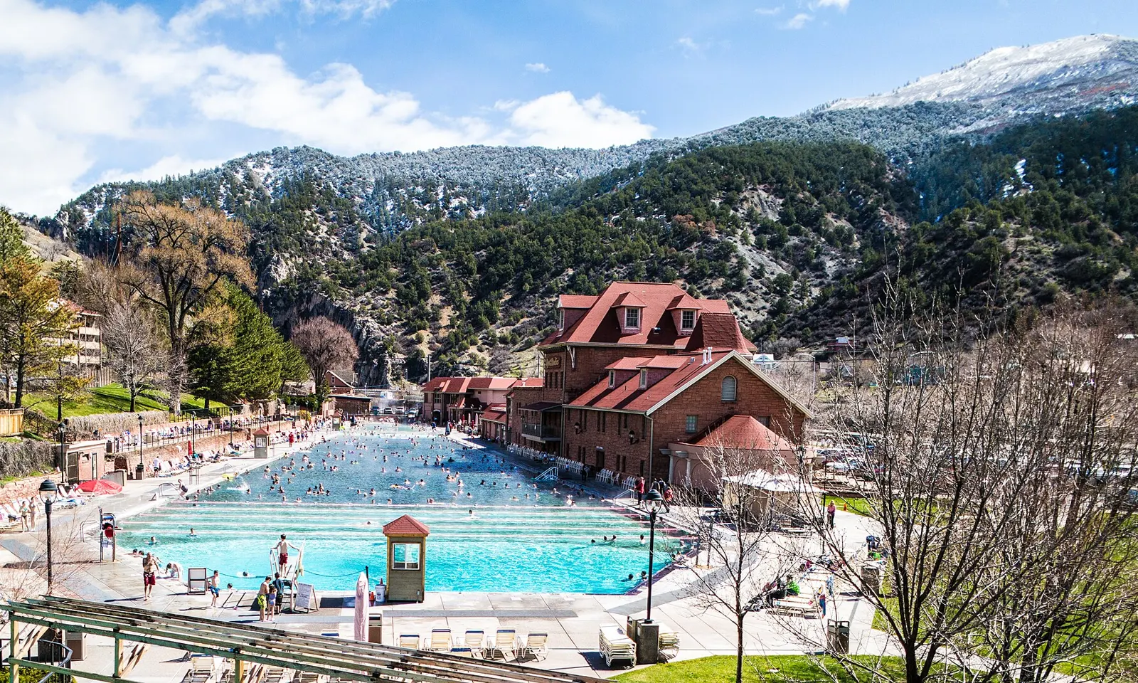
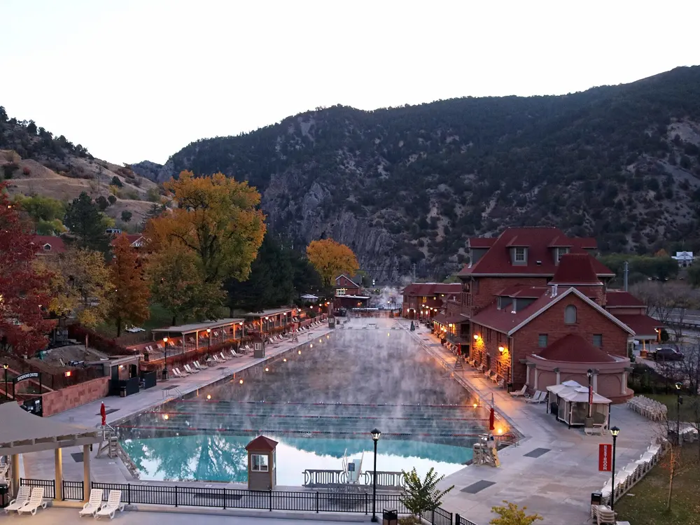
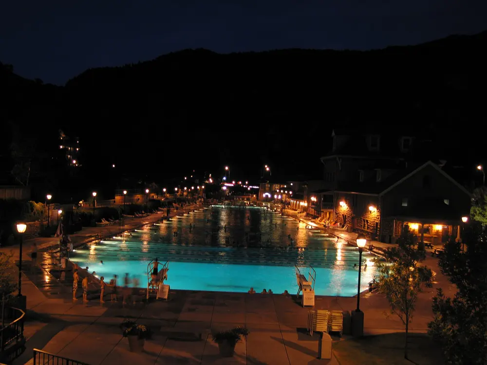
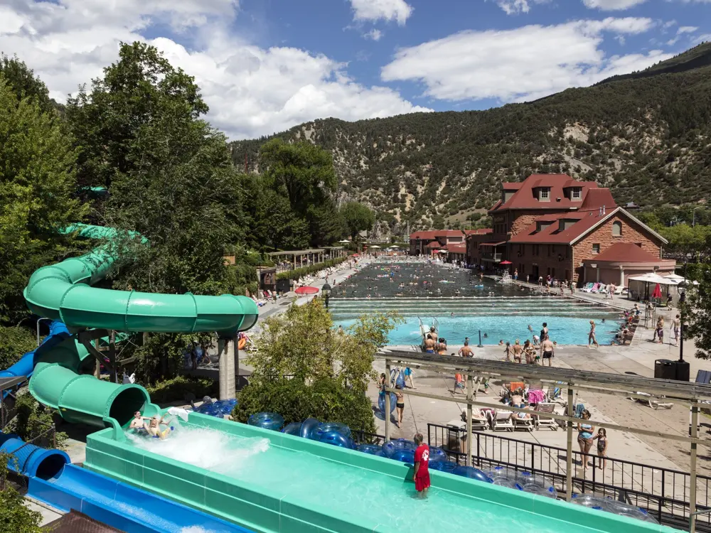
The Grand Pool at Glenwood Hot Springs is 405 feet long and 100 feet wide, holds 1,071,000 gallons and is kept at about 90 F with water from the Yampah Spring, which rises at about 122 F and is cooled for swimmers. It sits in a narrow mountain valley in western Colorado, and it is one of the few places where you can swim long lengths outdoors in warm water in the middle of a Rocky Mountain winter, with steam rising off the surface.
The route
Swim lengths of the Grand Pool, 123 m end to end, then sit in the Therapy Pool, 100 feet by 40, at 104 F. The pool opened on 4 July 1888, then with a large fountain in the middle.
When to go
The resort is open all year, rain or shine, and closes now and then for maintenance; it was closed on 21 and 22 April 2026. Winter mornings, with snow on the valley sides and steam over the water, are the most striking time to swim. Summer is the busiest season.
Getting there
The main entrance is at 401 North River Street in Glenwood Springs, across the pedestrian bridge from the historic Hotel Colorado and the town centre. By car from Denver, one guide puts it at about 160 miles and two and a half hours along Interstate 70, leaving at Exit 116.
Permits and booking
No permit is needed: pay for a day pass at the resort. The resort lists its own current prices; a visitor guide from June 2026 put an adult day pass at roughly $32 in winter and $36 in summer, and a child's at about $22 and $26, so check before you go.
How hard it is
The Grand Pool is easy water for any swimmer, and warm enough to stay in for a long session. The Therapy Pool, at 104 F, is for soaking rather than swimming.
Where to sleep
The resort has its own Hotel 1888 beside the pool, and Glenwood Springs has other hotels within walking distance across the river.
Tips
Come at opening time for room to swim lengths before the crowds.
Check the resort site for maintenance closures before a long drive.
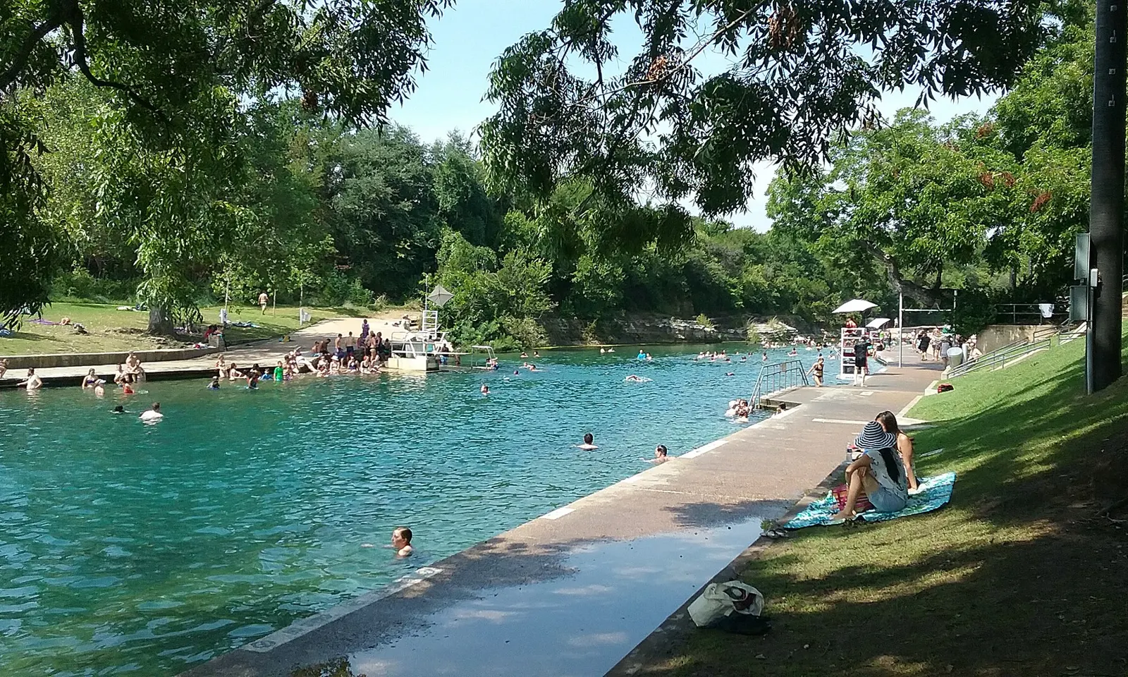
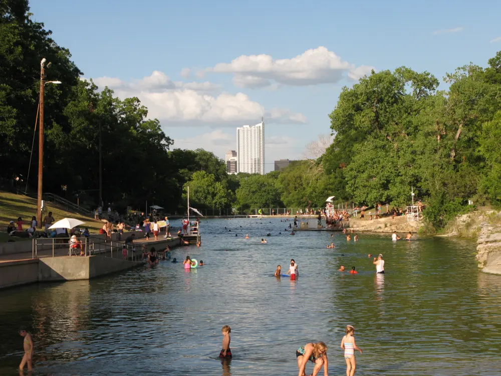
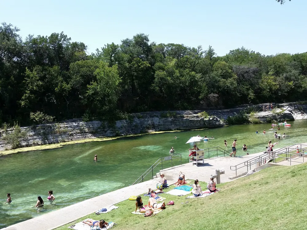
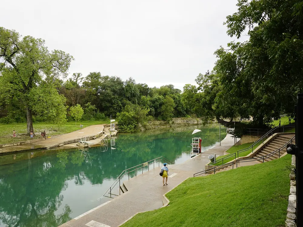
Barton Springs Pool is a three acre swimming hole in Zilker Park, fed by springs from the Edwards Aquifer that keep it at about 68 to 70 F all year. It lies in the channel of Barton Creek, with a natural rock and gravel bottom, grass banks under tall trees, and the downtown towers just beyond. Close to 800,000 people swim here in a year, and for Austin it is the city's shared front lawn. The endangered Barton Springs salamander lives in the pool and almost nowhere else.
The route
The pool runs about 900 feet, roughly 940 by one listing, and is up to 18 feet deep; the far west end is shallow and not swimmable. Lap swimmers use a lap area of an eighth of a mile, 201 m, marked by a buoy from the east wall, in water 2 to 9 feet deep. There are no lane lines, so you swim among everyone else. The Splash exhibit next to the bathhouse explains the springs, the aquifer and the salamander.
When to go
The water is the same temperature all year, cool in July and mild in January, so any season works. Mornings are best for laps; after about 10 am in summer the pool gets crowded.
Getting there
The pool is in Zilker Park, just south west of downtown Austin. There are two car parks, at the north entrance, 2201 William Barton Drive, and the south entrance, 1000 Azie Morton Road. Parking is free on weekdays and costs $3 an hour per vehicle on weekends and holidays from 1 March to Labor Day.
Permits and booking
The pool opens 5 am to 10 pm. From 5 to 8 am it is swim at your own risk and lifeguards are on duty from 8 am. On Thursdays it closes for cleaning from 9 am to 7 pm. Adults pay $5 as Austin residents and $9 otherwise; children 1 to 11 pay $2 or $4, seniors $2 or $5, and honourably discharged veterans and infants go free. Buy tickets online, in the ATXSwims app, at kiosks or at the cashier. Glass, alcohol, coolers, food, pets, smoking, portable speakers, hard balls and fishing gear are not allowed, and inflatables only in water 5 feet deep or less.
How hard it is
Easy, guarded water, but cold enough at 68 to 70 F to take your breath away on the first plunge. The deep end is 18 feet, so weaker swimmers should stay towards the shallow side.
Where to sleep
Downtown Austin, close to Zilker Park, has the city's largest choice of hotels.
Tips
Swim the dawn session before 8 am for a quiet pool, without lifeguards.
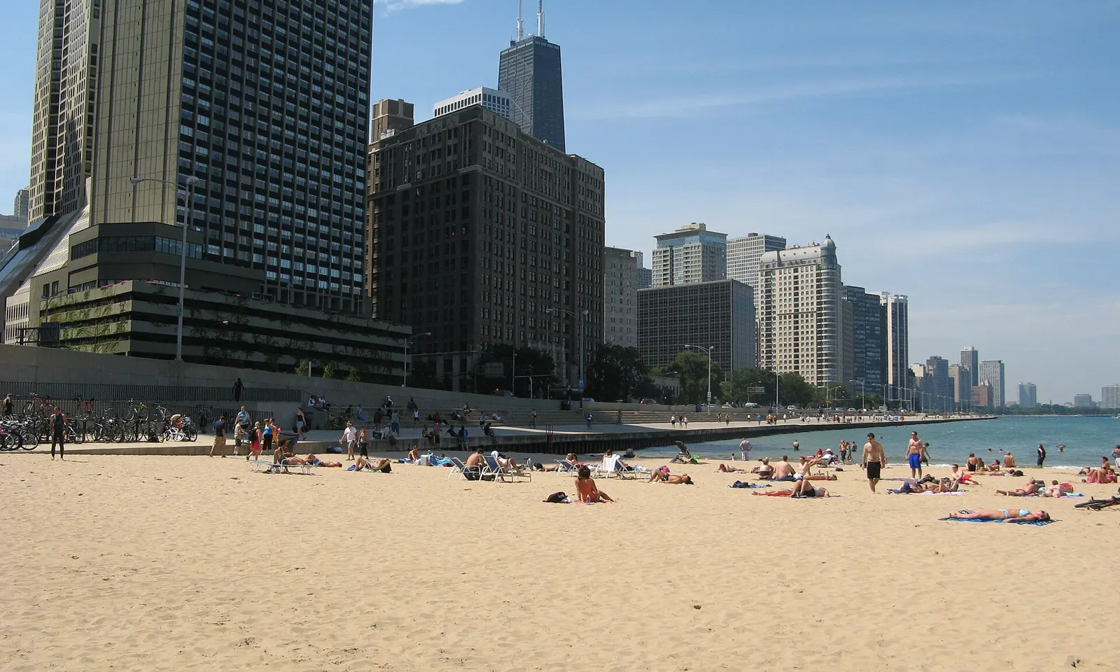
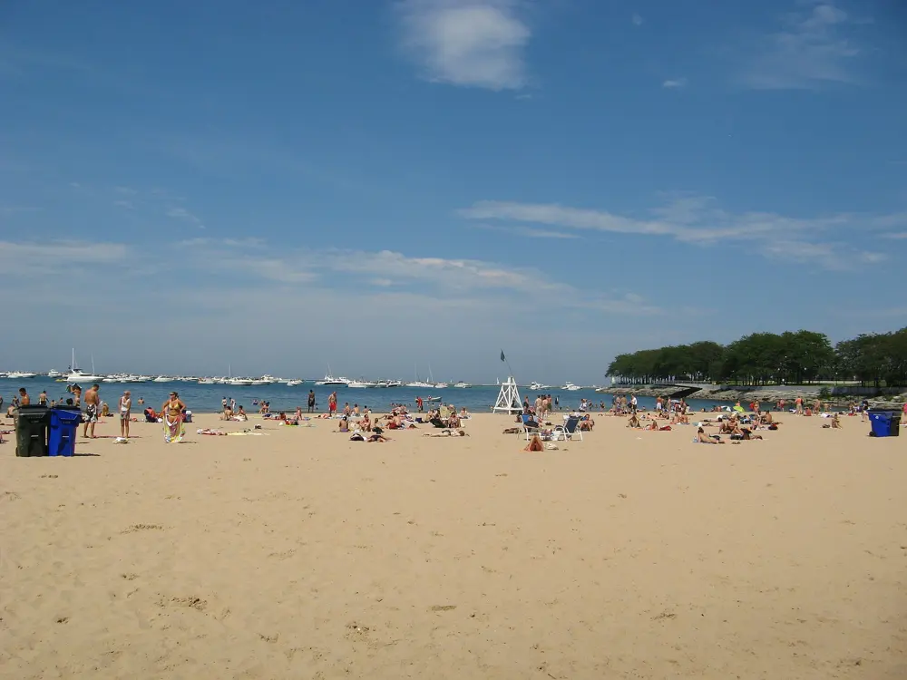
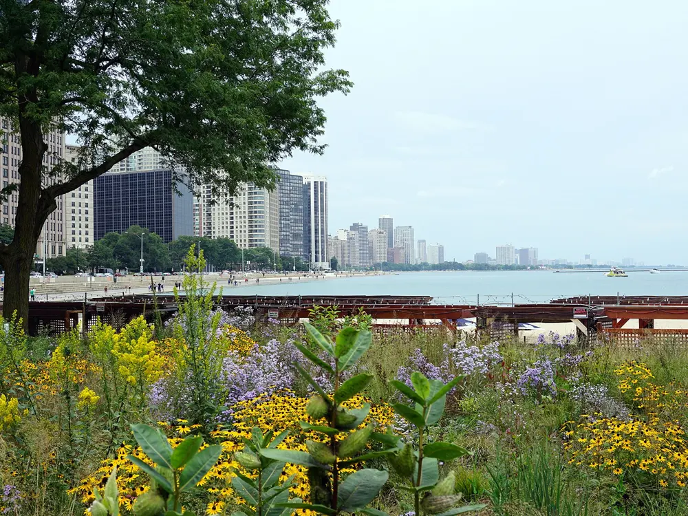
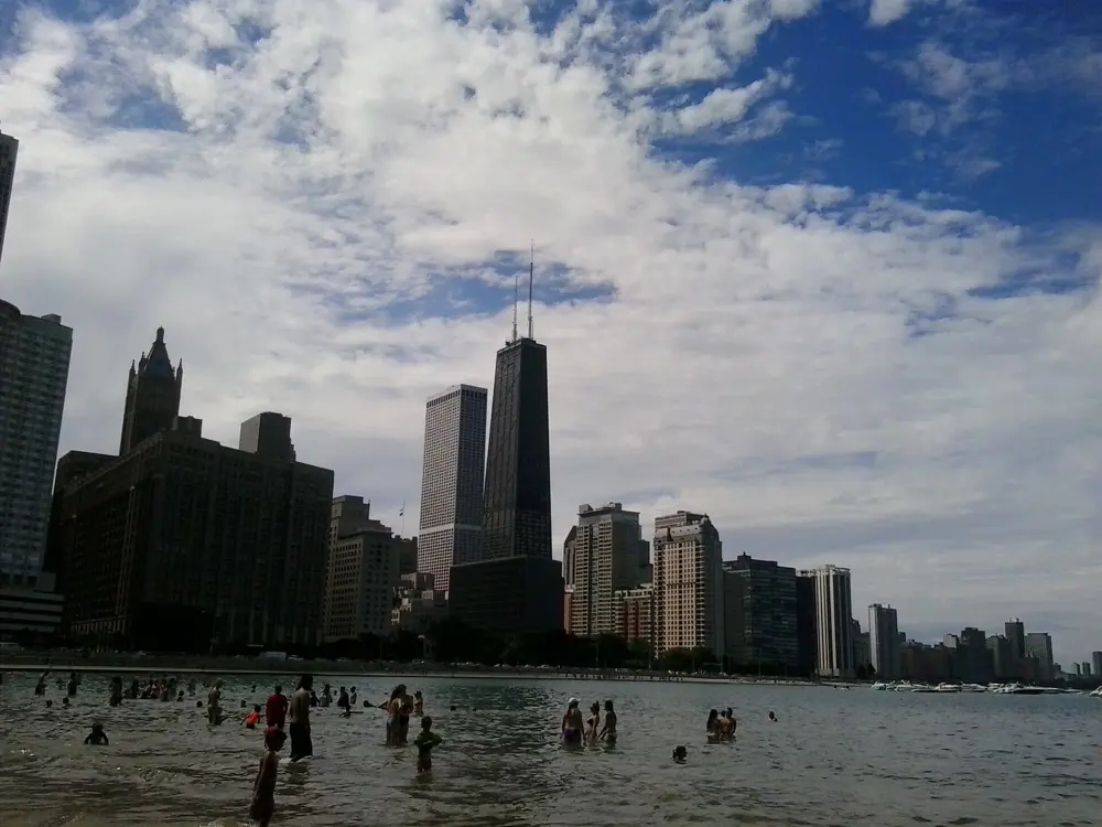
Ohio Street Beach is a small sand beach just north of Navy Pier, in Streeterville, with the towers of downtown Chicago standing over it. It faces due north, so a swimmer can head up the shore along the seawall in shallow water with the city on one side and Lake Michigan on the other. The Chicago Park District itself calls it an ideal training site for open water swimming.
The route
The classic swim runs north from the beach for 0.5 miles, 800 m, to the Oak Street curve, staying within a few feet of the seawall and in shallow water, and back. The beach was enlarged when Milton Lee Olive Park, a 10 acre park on a man made peninsula beside the water filtration plant, was built in 1965. The Lakefront Trail runs past.
When to go
The beach season runs from the Friday before Memorial Day through Labor Day. Wind and waves can close the lake to swimmers even in summer: on 28 July 2026 lifeguards urged people to stay out of the water during wind and wave advisories.
Getting there
The beach is at 600 North DuSable Lake Shore Drive. Street parking is limited, so come by transit: CTA buses 29, 65, 66 and 124 stop nearby, and the Red Line's Grand station is within walking distance.
Permits and booking
No permit or fee. The beach opens 6 am to 11 pm, but swimming is allowed only during the beach season, while lifeguards are on duty from 11 am to 7 pm, and only in the designated swim areas.
How hard it is
Along the seawall the water is shallow, and the swim is a simple out and back. The lake is the risk: rip currents and big waves come with strong winds, and the lifeguards close the water when they do.
Where to sleep
Streeterville and the Magnificent Mile, a few blocks west, have many hotels within walking distance of the beach.
Tips
Check the Park District's beach conditions before you go, and swim only when the lifeguards are on.
Questions about Chicago beaches go to beaches3@chicagoparkdistrict.com.
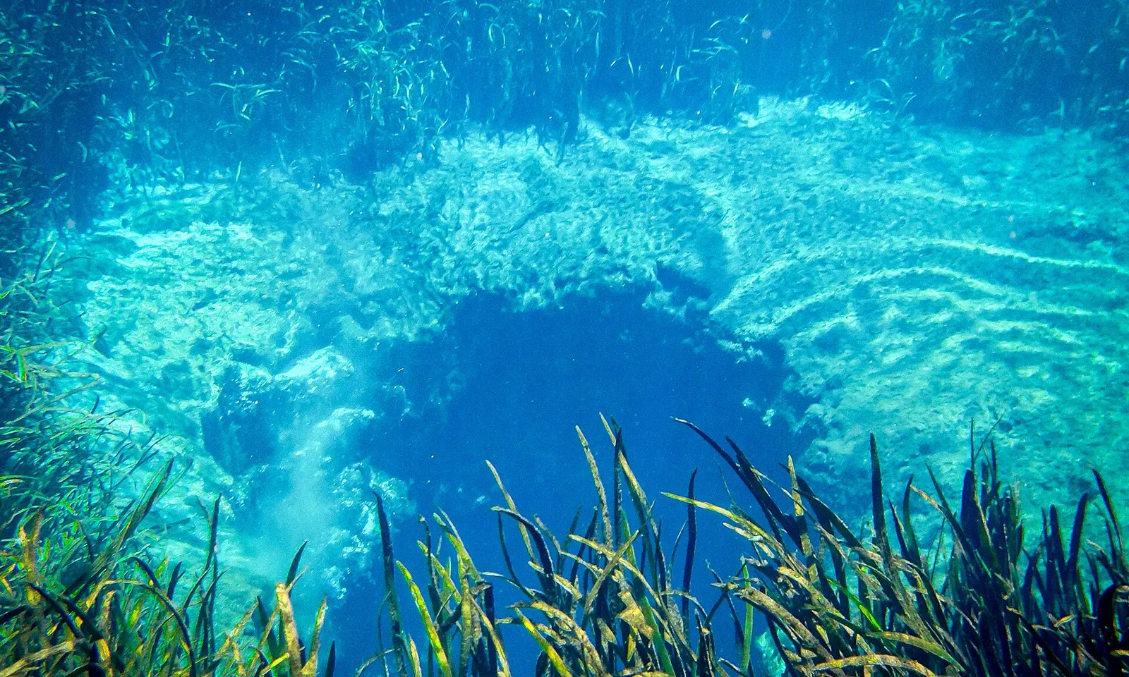
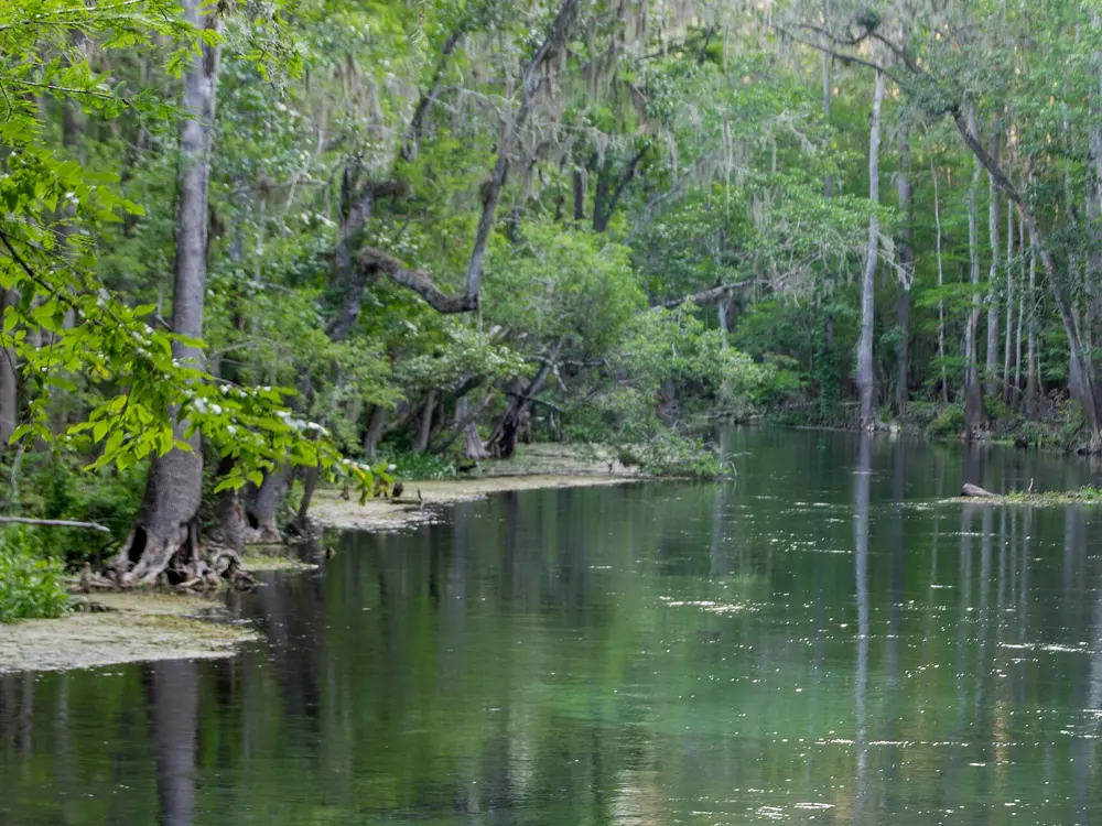
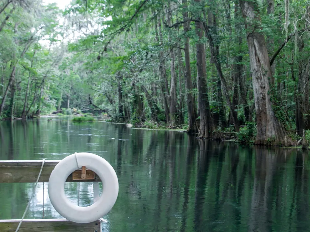
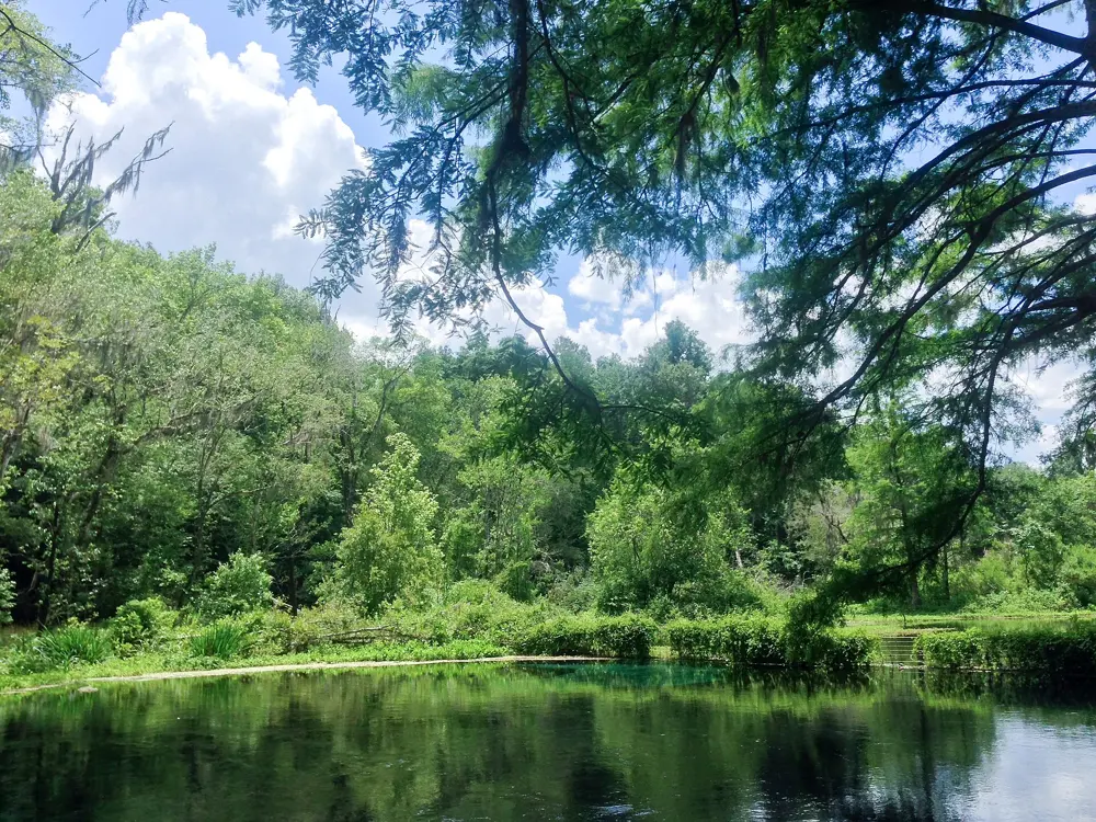
The Ichetucknee is a crystal clear river that rises from a chain of springs in north Florida and runs six miles through forest to the Santa Fe River. The springs pour out a daily average of 233 million gallons, according to the state park, at 72 F all year. Swimming in the Head Spring or the Blue Hole means floating over sand and eelgrass in water clear enough to see the spring openings below you.
The route
Both swimming springs are at the north entrance. The Head Spring, about 200 yards from the car park, is the main swimming hole. The Blue Hole, also called Jug Spring, is a short walk away along a trail, half a mile by the park's count, and is quieter, deeper and has a strong current. Below the springs, the river is famous for tubing; tubes are not allowed in the springs themselves, but pool noodles and life jackets are.
When to go
The water is 72 F in every season, so swims work all year. Summer is the busy season for tubing and the car parks can fill on hot weekends, when the gates sometimes close for a while. Guides describe tubing from the north entrance in summer only and year round tubing from the south entrance; check the park before you go.
Getting there
The park is in north central Florida and has a north and a south entrance; drive to the north entrance for the Head Spring and the Blue Hole. The midpoint launch has been closed for repairs.
Permits and booking
Entry is $6 for a vehicle with two to eight people, $4 for a single occupant and $2 for pedestrians, cyclists and extra passengers. Entry is first come, first served, and paying online in advance does not guarantee entry. The park opens 8 am to sunset every day. Pets are not allowed at the springs. On the river, food and drink must be in non disposable containers, and tobacco is banned. Scuba diving is allowed only at the Blue Hole, from October to March, for cave certified divers.
How hard it is
The Head Spring is gentle and suits most swimmers. The Blue Hole is deep with a strong current, and the park keeps it for strong swimmers.
Where to sleep
The park is for day visits; look for rooms and campgrounds in the surrounding towns.
Tips
Arrive at 8 am opening on summer weekends.
Bring goggles or a mask: the point of the springs is seeing through them.
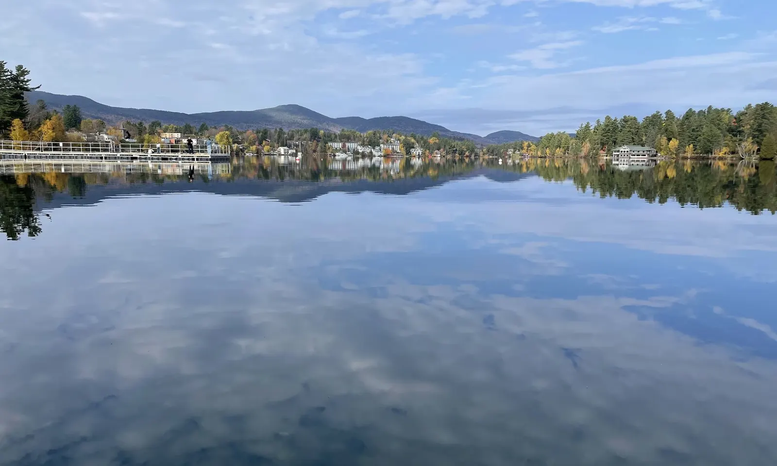
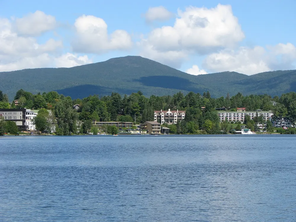
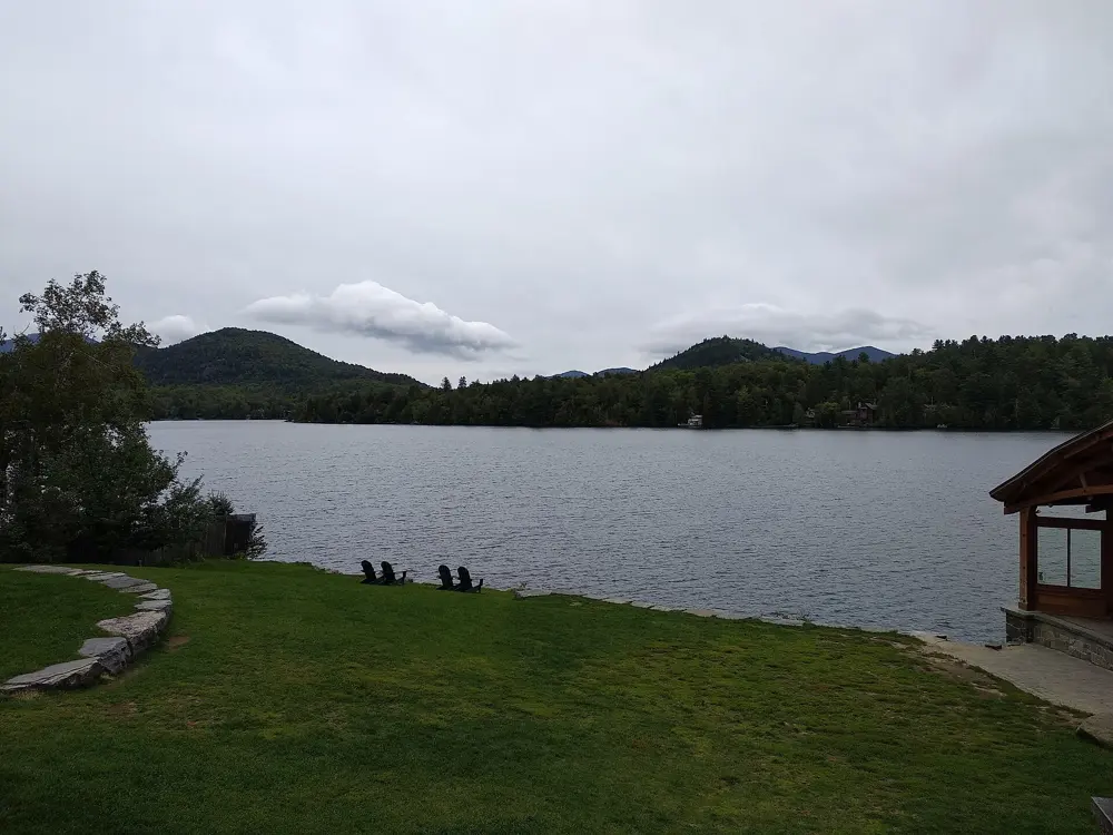
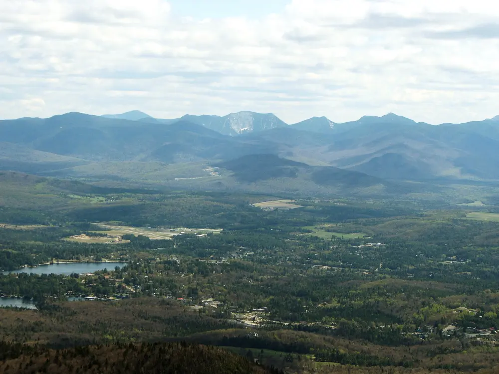
Mirror Lake lies in the middle of the village of Lake Placid, with the Adirondack mountains around it. It is the swim of Ironman Lake Placid, and triathletes call it one of the best places on the Ironman circuit to practise: calm, clear water, a marked course and, by swimmers' accounts, a thick underwater cable to follow so you hardly need to look up. On summer mornings the lake fills with swimmers training for the race.
The route
The Ironman swim is 2.4 miles, two laps of a rectangle around buoys with a short run on the beach between laps. One triathlete's race report describes a cable along the whole out and back of the rectangle; follow it and you can sight less. Outside race week swimmers use the same line from the public beach at the south end of the lake. Once out, the 2.7 mile paved path around the lake makes an easy walk to cool down.
When to go
Summer is the season: the public beach is open daily in the summer months, and the lake freezes in winter. Swim early, as the lake gets busy later in the day and later in the week before the race.
Getting there
The public beach is on Parkside Drive in downtown Lake Placid, at the south end of Mirror Lake. It has a pier, a canoe and kayak launch and a changing building.
Permits and booking
No permit is needed. The public beach opens 10 am to 6 pm in summer, has lifeguards in season, and a reviewer reports it is free. Beaches belonging to hotels on the lake, such as the Mirror Lake Inn's, are for their guests only and have no lifeguards.
How hard it is
The water is calm and sheltered, though race guides say to expect some chop and changes in temperature. Outside the beach area there are no lifeguards, so wear a bright cap and swim with others.
Where to sleep
Lake Placid has hotels and inns on the shore of Mirror Lake and along Main Street, a short walk from the beach.
Tips
Swim early in the day, before the course gets crowded.
Call the beach on 518 523 2591 for the summer schedule.
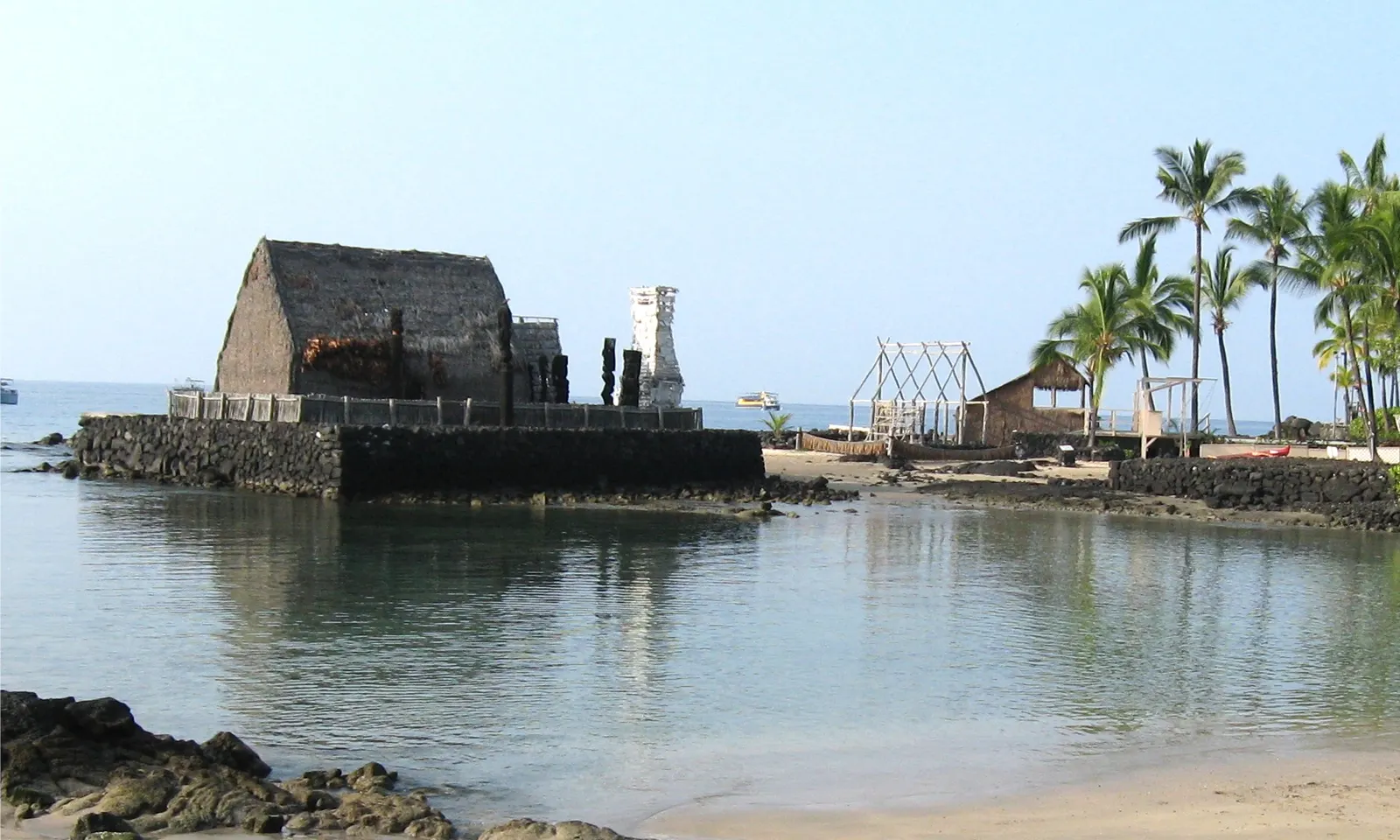
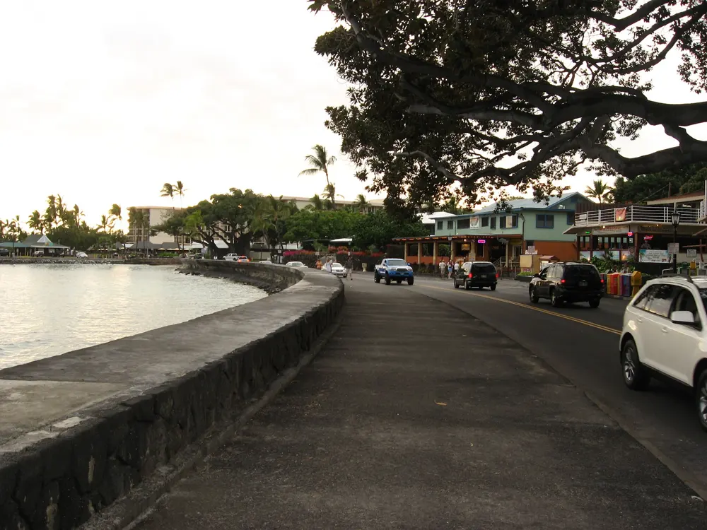
Kailua Bay, in front of the old town of Kailua-Kona, has held the Ironman World Championship swim since the race moved here from Oʻahu in 1981. Part of the course stays marked after race day, and residents and visiting triathletes swim it through the year in warm, clear water.
The route
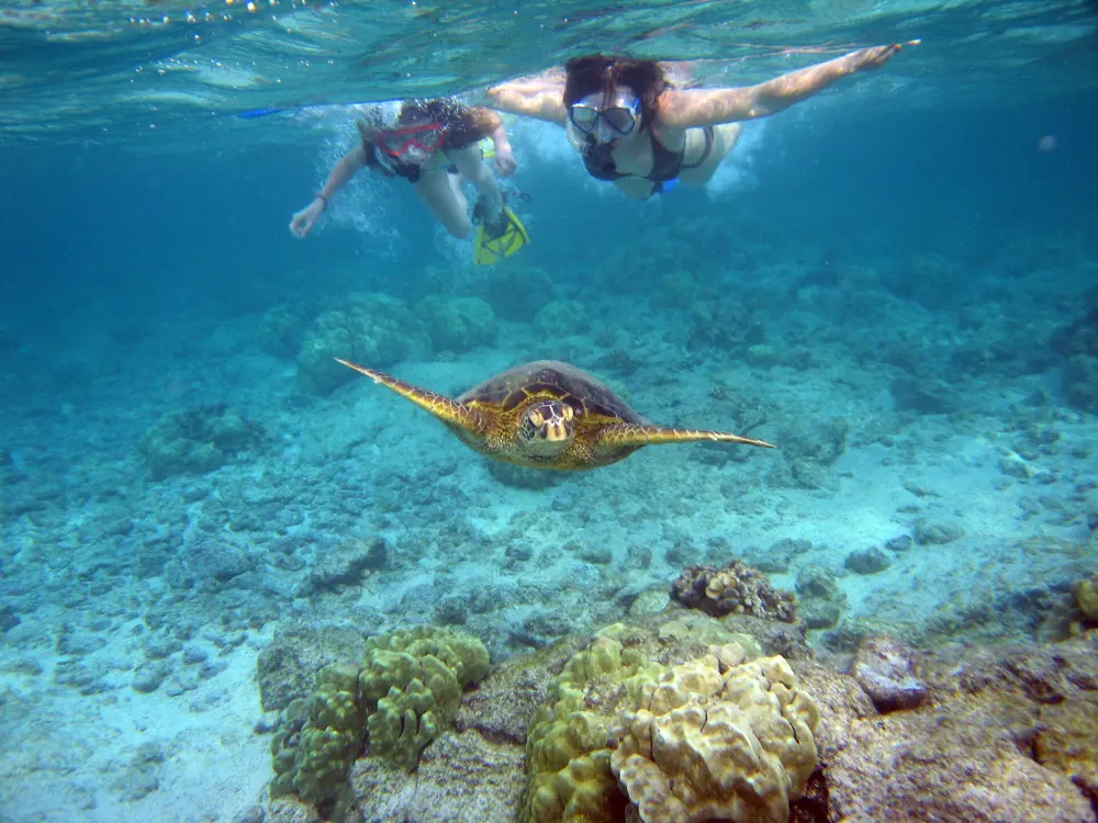
The race swim is a single loop of 2.4 miles (3.86 km): athletes start beside Kailua Pier, off the small beach called Dig Me Beach, swim clockwise along the coast and turn at a boat about 1.2 miles out. On ordinary mornings swimmers walk in from the same sand beach. The fourth buoy is about 300 yards out, and the Kings buoy makes a round trip of 2,000 m. South of town, Kahaluʻu Bay is a reef-sheltered beach park for snorkeling among honu, the green sea turtles.
When to go
The sea is warm all year, about 27 C on average in October and around 25 C in February. Early morning, roughly 7 to 9 am, brings calm water and little boat traffic, when the informal Pier Group swims. The 2026 race, with the men and women racing together again in Kona, was on 10 October; the pier closes to the public around race day.
Getting there
Kona International Airport is about seven miles from Kailua-Kona. The pier is on Aliʻi Drive and has no parking of its own, but public and paid parking lie within walking distance. At Kahaluʻu, nonresidents pay $12 for four hours of parking.
Permits and booking
No permit is needed. Since 1 January 2021 Hawaiʻi has banned the sale of sunscreen containing oxybenzone or octinoxate without a prescription. At Kahaluʻu, The Kohala Center asks for cover ups or mineral sunscreen with only zinc oxide or titanium dioxide as active ingredients. The park opens 7 am to 7 pm, with lifeguards from 9:30 am to 4:30 pm, and closes for dangerous surf or coral spawning, which brought a 10 day closure earlier in 2026. Keep at least 10 feet (3 m) from honu.
How hard it is
This is open ocean. Swell and sighting are the main challenges, with only the buoys to aim for, and the water deepens from about 15 to 20 feet at the fourth buoy to about 50 feet at the Kings buoy. Keep inside the buoyed lane, away from boats. At Kahaluʻu, waves, strong currents, sharp rocks and sea urchins are common; float above the reef instead of standing on it.
Where to sleep
King Kamehameha's Kona Beach Hotel stands beside the pier and the swim start, and much of Kailua-Kona lies along Aliʻi Drive within walking distance of the water.
Tips
Check hioceansafety.com for surf, wind and hazard reports before you swim.
At Kahaluʻu, check in with the ReefTeach volunteers, there from 8:30 am to 3 pm, and enter through the channel in front of the lifeguard tower.
Sources
Distances, heights, seasons and permit rules were checked against these pages. Rules change, so check the park or trail authority before you go.