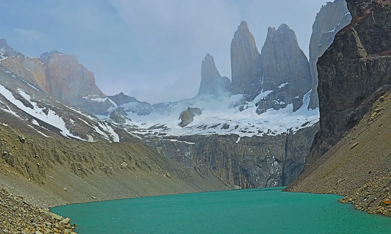
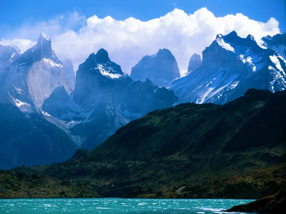
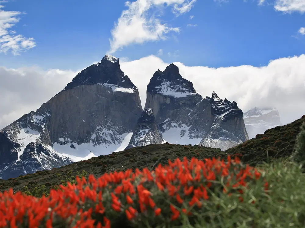
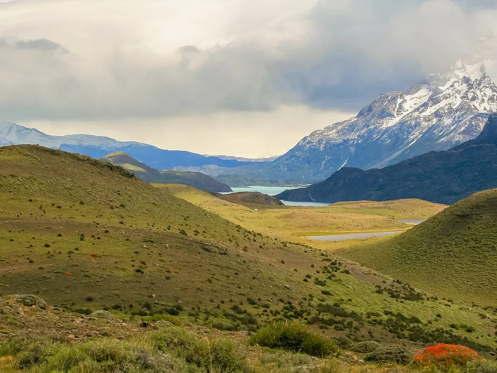
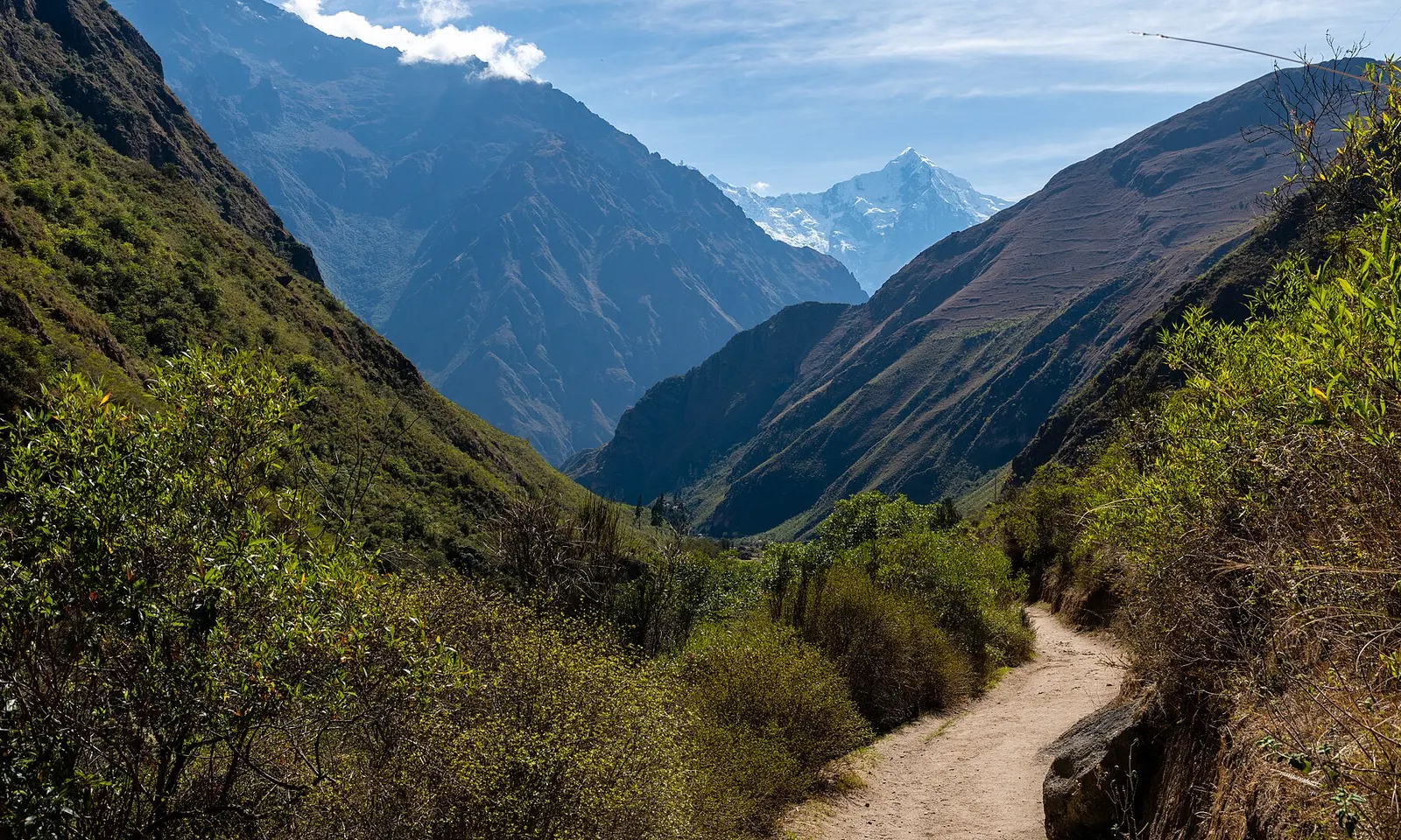
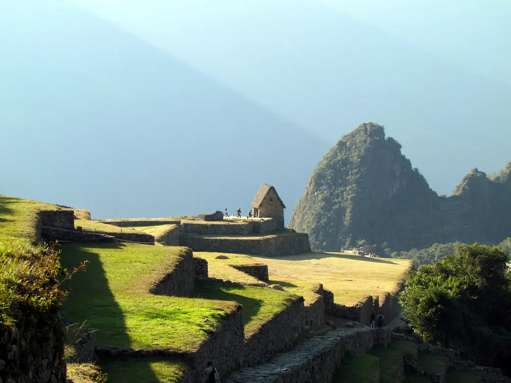
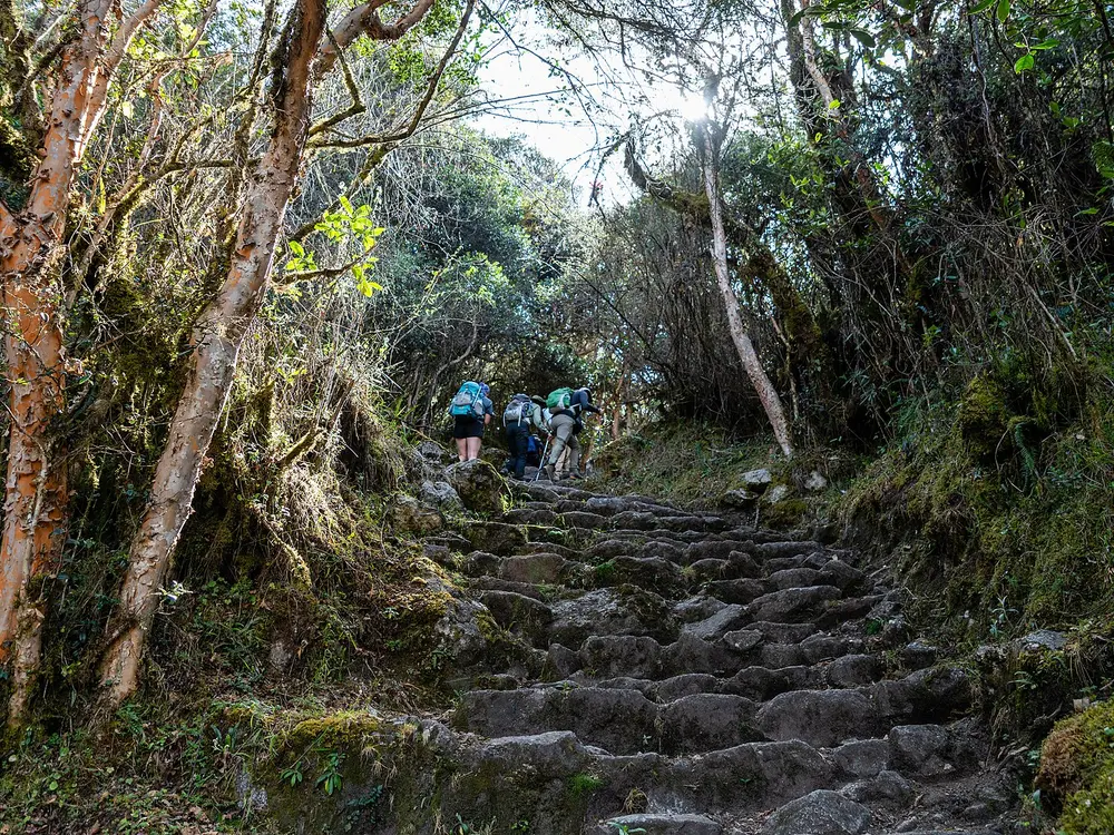
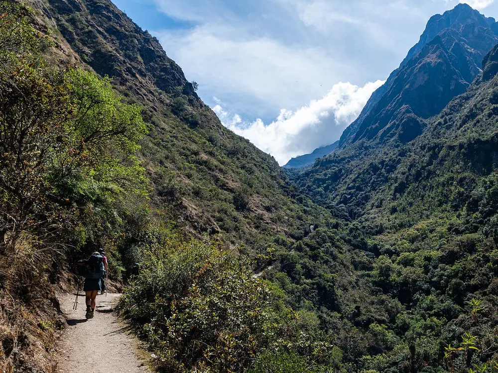
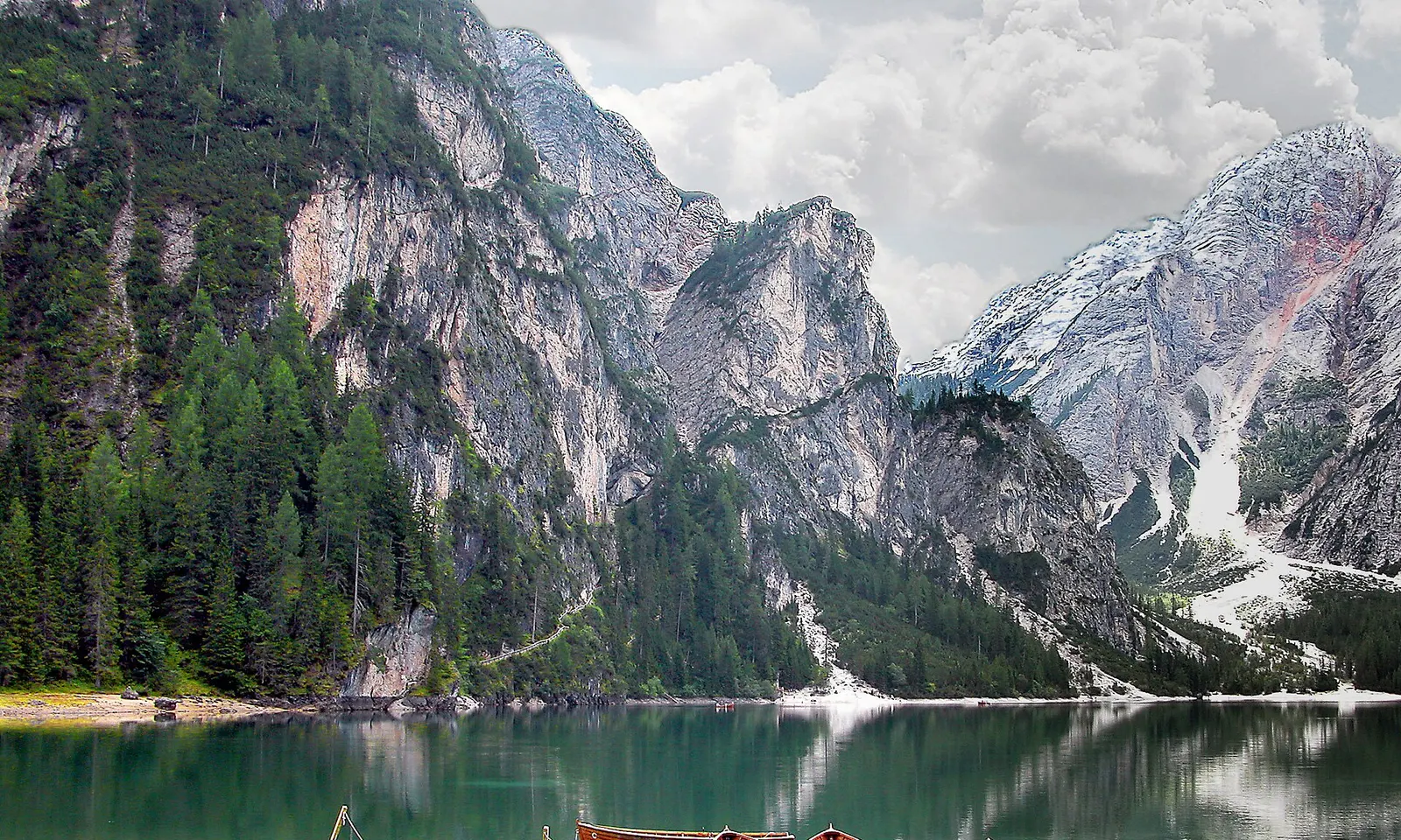
The W Trek, Torres del Paine National Park, Chile. Photo: Aakerueh (CC BY-SA 4.0)
A great hike earns its place three ways. The landscape stops you mid-step, the route has a shape you remember years later, and getting there asks something of you without asking for a rope.
These ten clear that bar. Some take a morning and some take two weeks. For each one you get the distance, the route, the best season, how to get there, the permits and where to sleep. Every fact comes from the park, the trail authority or the route's own records, linked at the bottom of the page.
The W takes you into three valleys of the Paine massif in under a week, and each one ends at something different: Grey Glacier and its iceberg-strewn lake, the hanging glaciers of the Francés Valley, and the granite towers that give the park its name. Those towers rise to about 2,500 m above a milky green tarn. The weather can cycle through four seasons in a day, and that restlessness is part of the appeal.
The route
The trail can be walked from either end, between Paine Grande in the west and Hotel Las Torres in the east, and the catamaran from Pudeto across Lago Pehoé links the western end to the road. Heading east from Paine Grande, the first leg is a there-and-back walk to Refugio Grey and the ice of Lago Grey. Next comes Campamento Italiano, from where a detour climbs the Francés Valley to the Mirador Británico beneath the Cuernos del Paine. The path then follows Lago Nordenskjöld past Refugio Los Cuernos to Las Torres, and the last day climbs the Ascencio Valley past Refugio Chileno to the towers, with a steep, rocky final kilometre.
When to go
September to April is the usual window, with long summer days, though November to January is also the windiest stretch. Public buses from Puerto Natales run a full timetable from October to March, drop to one a day in April and September, and stop from May to August.
Getting there
Most walkers base themselves in Puerto Natales, 112 km south of the park. Daily buses take about two hours, stopping at Laguna Amarga, where a shuttle runs to Hotel Las Torres, and continuing to Pudeto for the catamaran to Paine Grande.
Permits and booking
Since October 2016 every overnight stay, refugio or campsite, must be booked before you enter the park, and rangers check reservations along the way. Free CONAF campsites are booked through the official park website, while the refugios are run by private concessionaires and fill months ahead in peak season.
How hard it is
Paths are well marked but stages run up to about 22 km, and the towers day ends with a steep scramble over loose rock. Altitude is no concern, but the wind is strong and exposed, so steady fitness and sure footing matter more than speed.
Where to sleep
Refugios at Paine Grande, Grey, Los Cuernos and Las Torres offer dorms, meals and campsites, while CONAF runs basic free campsites such as Italiano. Chileno stopped offering dorm beds in 2024 and now has camping and glamping tents only.
Tips
Pack waterproof layers and a warm sleeping bag, since nights are cold even in summer.
Keep every booking confirmation to hand, because rangers ask for them.
Purify drinking water and collect it upstream of campsites.
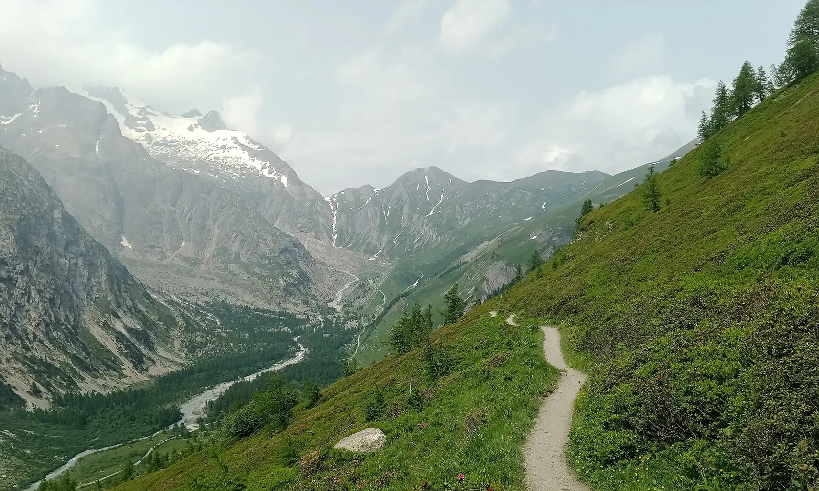
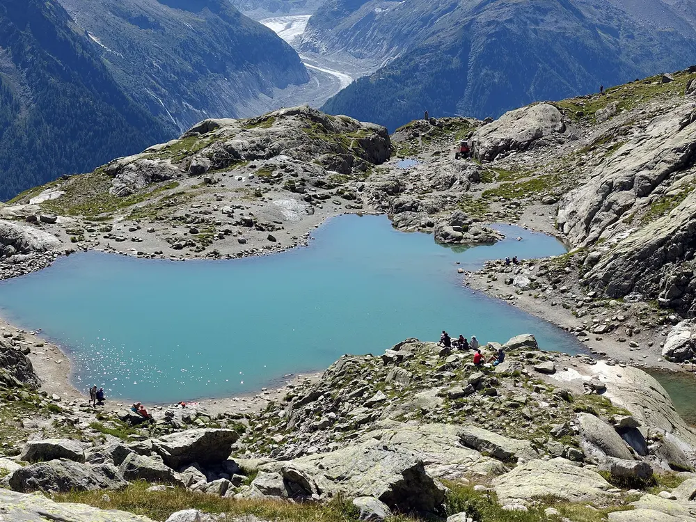
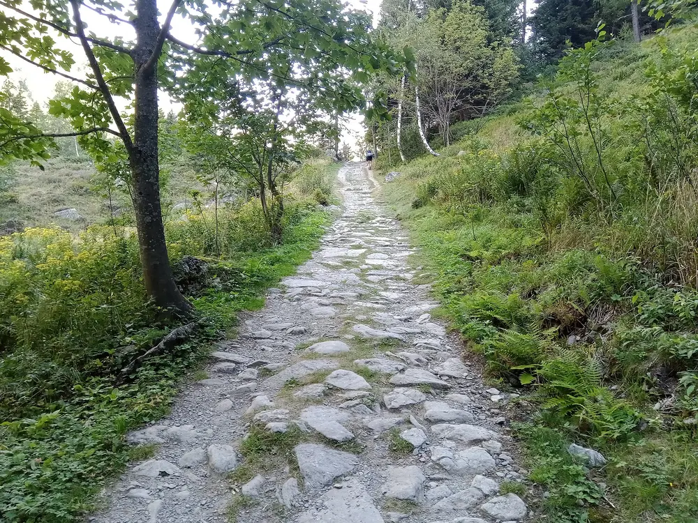
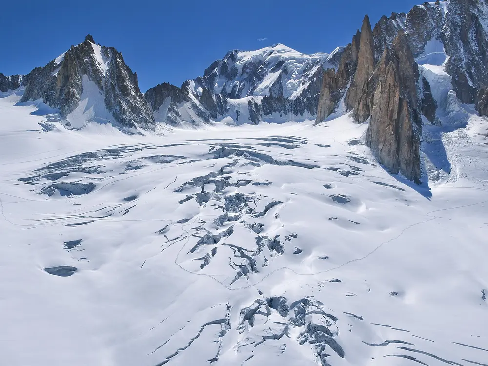
The Tour du Mont Blanc circles the Mont Blanc massif through France, Italy and Switzerland, crossing seven valleys on the way. You walk from one village or mountain refuge to the next, so the days are spent in high country and the evenings bring a cooked dinner and a bed. Crossing borders on foot, with the language and the food changing at each col, gives the loop a texture few long walks can match.
The route
Most people start at Les Houches in the Chamonix valley and walk anticlockwise, though Les Contamines, Courmayeur in Italy and Champex in Switzerland are also used as starting points. The first days run through Les Contamines and past the Croix du Bonhomme to Les Chapieux, then on by Refuge des Mottets and the Col de la Seigne into Italy. From Rifugio Elisabetta the trail drops to Courmayeur and continues via Rifugio Bonatti before crossing into Switzerland at La Fouly and Champex. The loop returns to France by the Col de la Forclaz and finishes through Tré-le-Champ and La Flégère on the slopes above Chamonix.
When to go
The trekking season runs from mid-June to mid-September; outside it heavy snow and avalanche risk effectively close the route. The refuges keep similar dates.
Getting there
Geneva Airport is the main gateway, and shuttles and buses reach Chamonix in about 90 minutes. Trains run to Saint-Gervais-les-Bains Le Fayet, which connects to the Mont Blanc Express up the valley, and regional buses serve the alternative starts at Courmayeur and Champex-Lac.
Permits and booking
No permit is needed, but carry your passport because the route crosses national borders. Book refuges and village beds in advance, since they are hard to find late in the day in high season.
How hard it is
Expect good mountain paths with long climbs and descents every day, adding up to roughly 9,000 to 10,600 m of ascent over the loop. The altitude stays modest, but stages can run past seven hours, so you need the stamina to repeat that day after day.
Where to sleep
Accommodation ranges from large mixed dormitories in mountain refuges to private rooms in village hotels and gîtes, and most places serve cooked half-board meals.
Tips
In June, carry microspikes for snow lingering on the higher passes.
Treat stream water with a filter or tablets and avoid grey glacial meltwater.
Luggage transfer services can move your bags between hotels and refuges if you prefer to walk light.
This is the stone road the Incas built to Machu Picchu, and it ends at the Inti Punku, the Sun Gate, with the ruins spread out below. Over four days it climbs through high passes and past a chain of Inca sites, so you reach the citadel already knowing something of the world that built it. The trail belongs to the Qhapaq Ñan, a pre-Hispanic road network of more than 30,000 km listed as a World Heritage Site.
The route
The classic trail starts at Km 82, at Piscacucho on the Urubamba River, about 2,600 m above sea level, and runs one way to Machu Picchu. The first night is usually at Wayllabamba, and the second day climbs to Warmiwañusqa, Dead Woman's Pass, the highest point of the walk, before dropping to camp at Pacaymayu. The third day crosses another high point near Phuyupatamarka on the way down to Wiñay Wayna. On the final morning walkers follow the ridge for about 3 km and climb steep steps to the Sun Gate, where the trail ends above Machu Picchu.
When to go
May to September is generally dry and sunny, while November to March is the rainy season. The trail closes every February for maintenance and cleaning.
Getting there
Cusco is the base for the trek, and Km 82 lies 82 km from the city in the Urubamba valley. Tour operators arrange the transfer to the trailhead by bus, train or private vehicle, and some collect walkers from Ollantaytambo or Urubamba instead.
Permits and booking
Independent trekking is not allowed: permits are sold only through government-authorised tour operators, are tied to your passport and cannot be transferred, and every trekker must be accompanied by a licensed guide. Numbers are capped at 500 people a day on the main routes, including guides and porters, so for popular dates book six months or more ahead.
How hard it is
The trail mixes old stone paths with long, steep stone steps, and the hardest climb, on day two, reaches a pass at about 4,200 m. You need good fitness for several days of climbing and descending at altitude.
Where to sleep
Walkers sleep in tents at designated campsites such as Wayllabamba, Pacaymayu and Wiñay Wayna, and space at Wiñay Wayna is allocated by the government rather than guaranteed.
Tips
Bring the original passport you booked with, because it is checked against your permit.
Ask your operator about crew size and customary tips before you go, and carry soles to pay them.
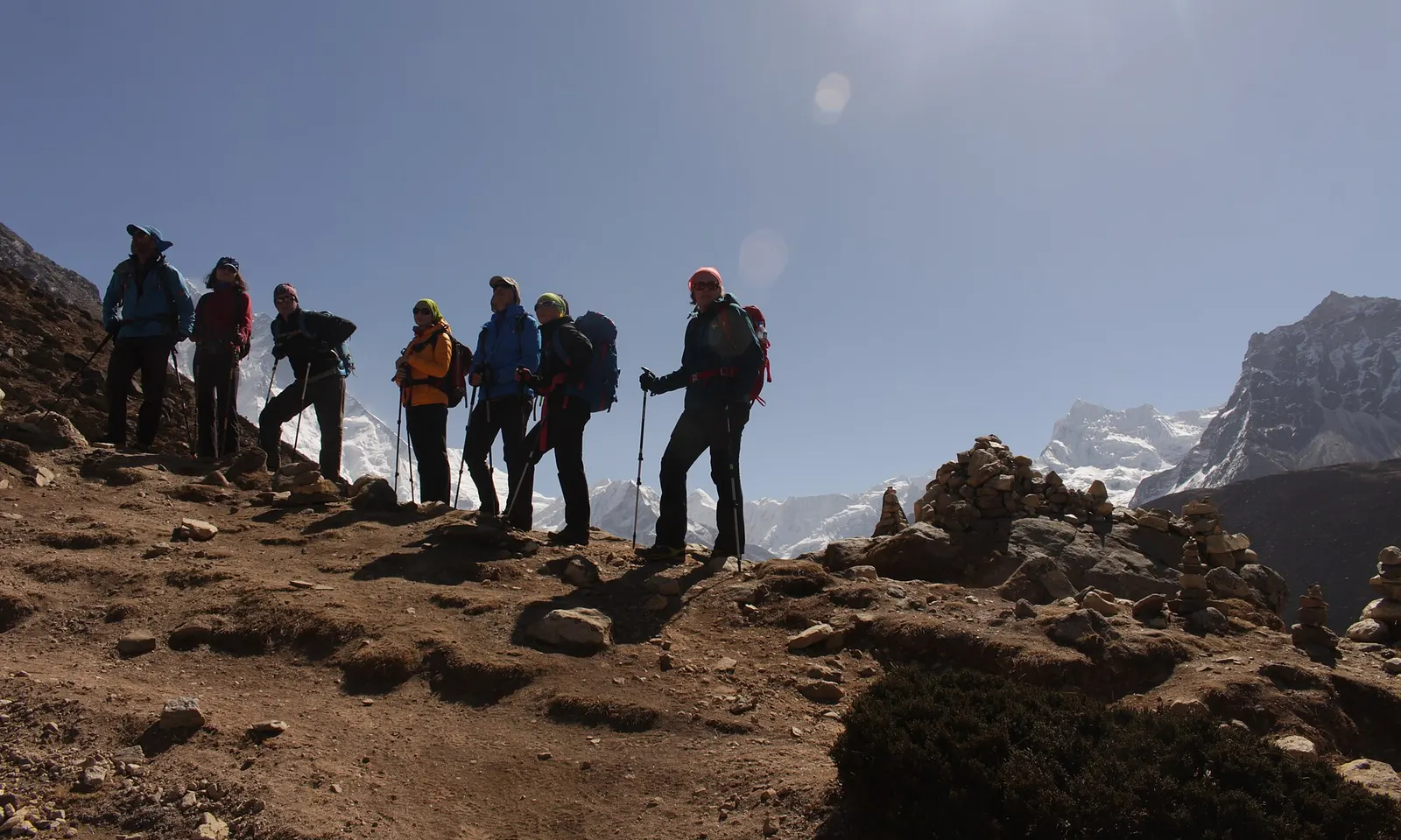
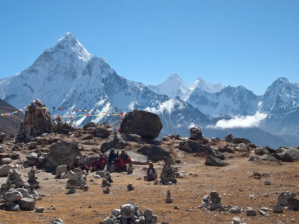
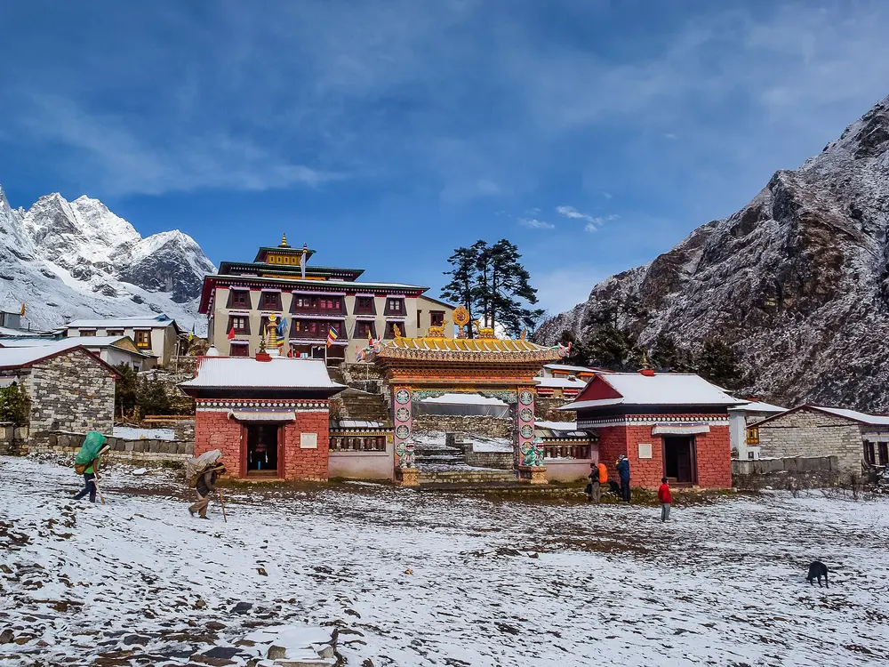
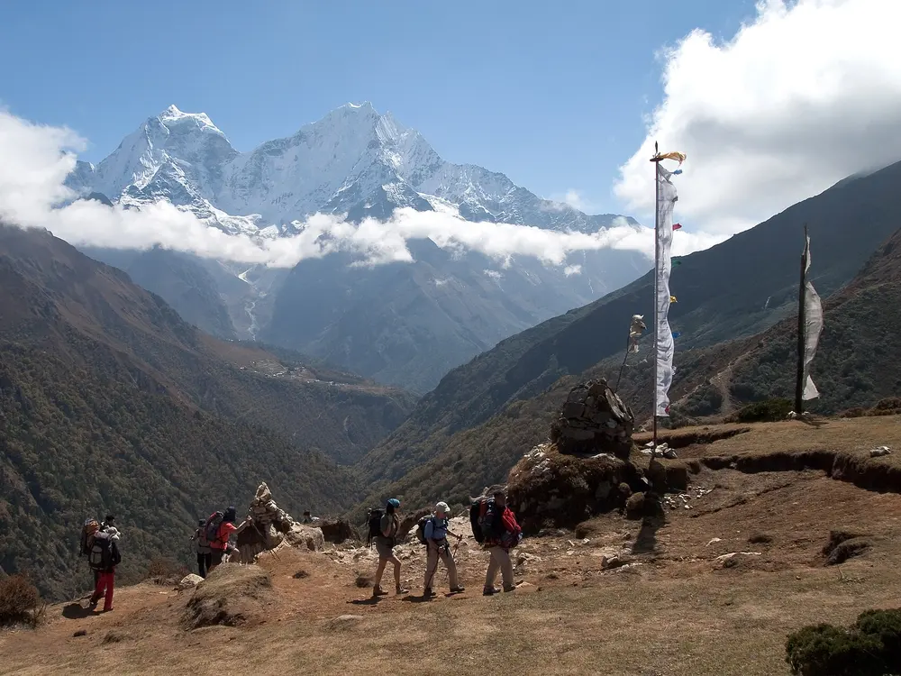
Walking to the foot of the world's highest mountain takes you through the Khumbu, past the monastery at Tengboche and through the busy hub of Namche Bazaar. The scenery grows wilder with every day of climbing, and from Kala Patthar above Gorak Shep you get the most accessible close view of Everest, with Nuptse and Lhotse alongside. Around 40,000 people make the trek each year.
The route
The trek begins at Lukla, at about 2,860 m, and returns the same way. The first two days lead via Monjo to Namche Bazaar at 3,440 m, where most people take a rest day, and the route then climbs to the monastery at Tengboche. Beyond, it reaches Dingboche or Pheriche at around 4,250 m for a second acclimatisation day, then continues to Lobuche and Gorak Shep, the last stop with lodges. From Gorak Shep walkers visit Everest Base Camp beside the Khumbu Glacier and climb Kala Patthar for the view of Everest.
When to go
The best months are March to mid-May, when rhododendrons flower, and September to mid-November, when the air is clearest after the monsoon. Winter brings deep snow above Tengboche, and the summer monsoon brings cloud, heavy rain and flight delays.
Getting there
There are no roads to Lukla, so most trekkers take a flight of about 25 minutes. Since 2024 most Lukla flights leave from Manthali (Ramechhap), a drive of three to four hours from Kathmandu, though some still depart from Kathmandu itself.
Permits and booking
You need a Sagarmatha National Park entry permit and the Khumbu Pasang Lhamu Rural Municipality entry fee, and permits are checked on the trail after Monjo and again before Namche. Guides are not mandatory in the Everest region, though many people hire one.
How hard it is
The trail is well trodden, with some long, steep climbs such as the one up to Namche, but everything beyond Namche is at serious altitude and the high point is well over 5,000 m. Good fitness helps, yet slow, patient acclimatisation matters more than strength.
Where to sleep
A network of teahouse lodges runs the length of the route, so no tent is needed, but rooms are basic and Lobuche and Gorak Shep fill up in season.
Tips
Build in the rest days at Namche and Dingboche or Pheriche, and descend promptly if you feel unwell.
Bring a high-quality sleeping bag, as the higher lodges are very cold at night.
Leave spare days at the end of the trip in case weather delays the Lukla flight.
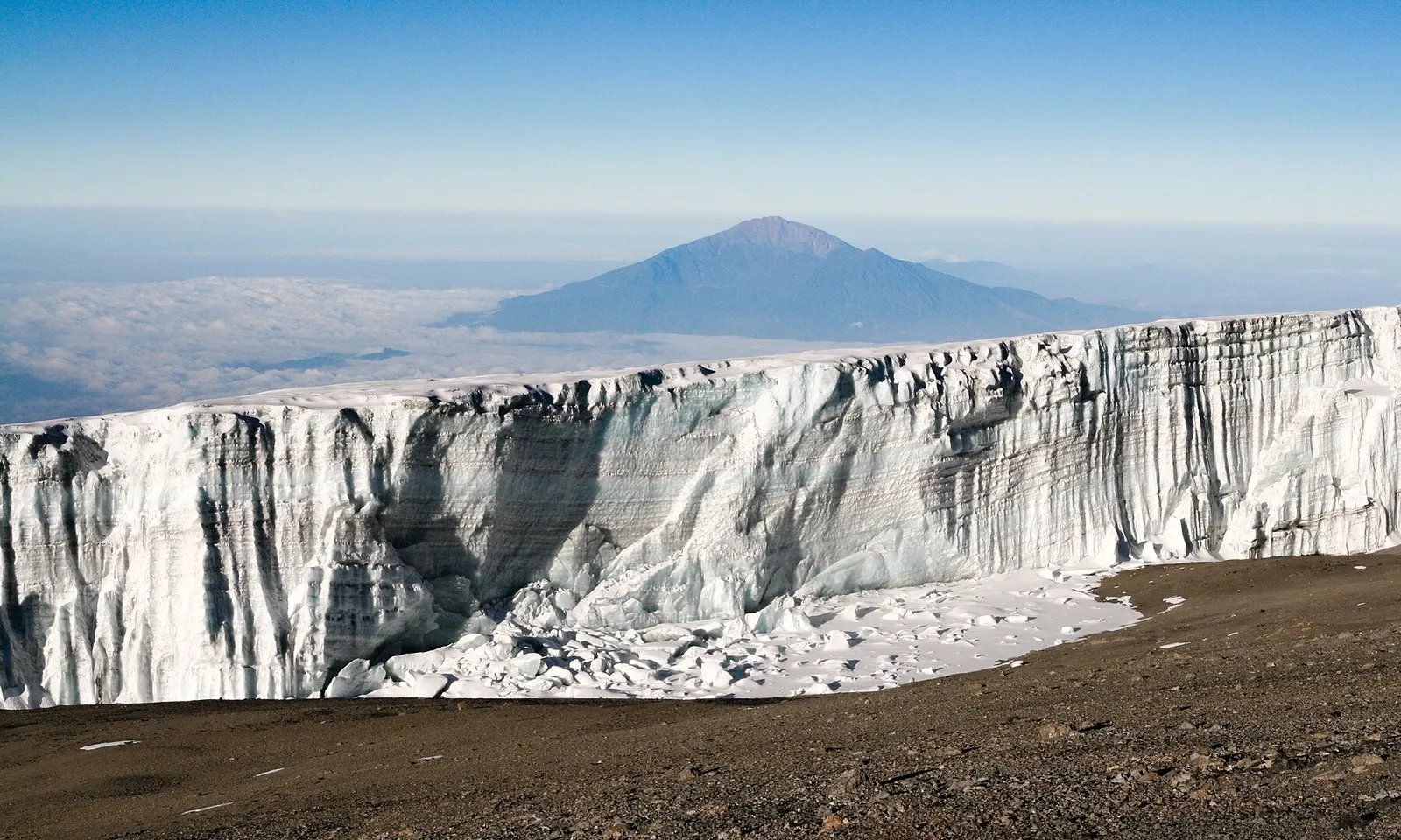
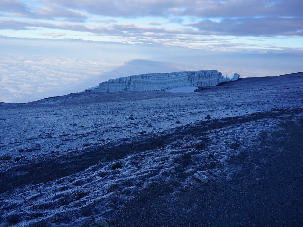
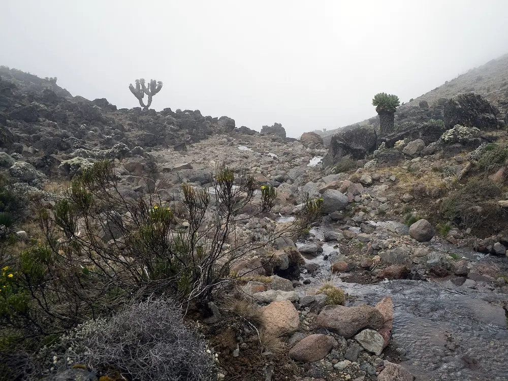
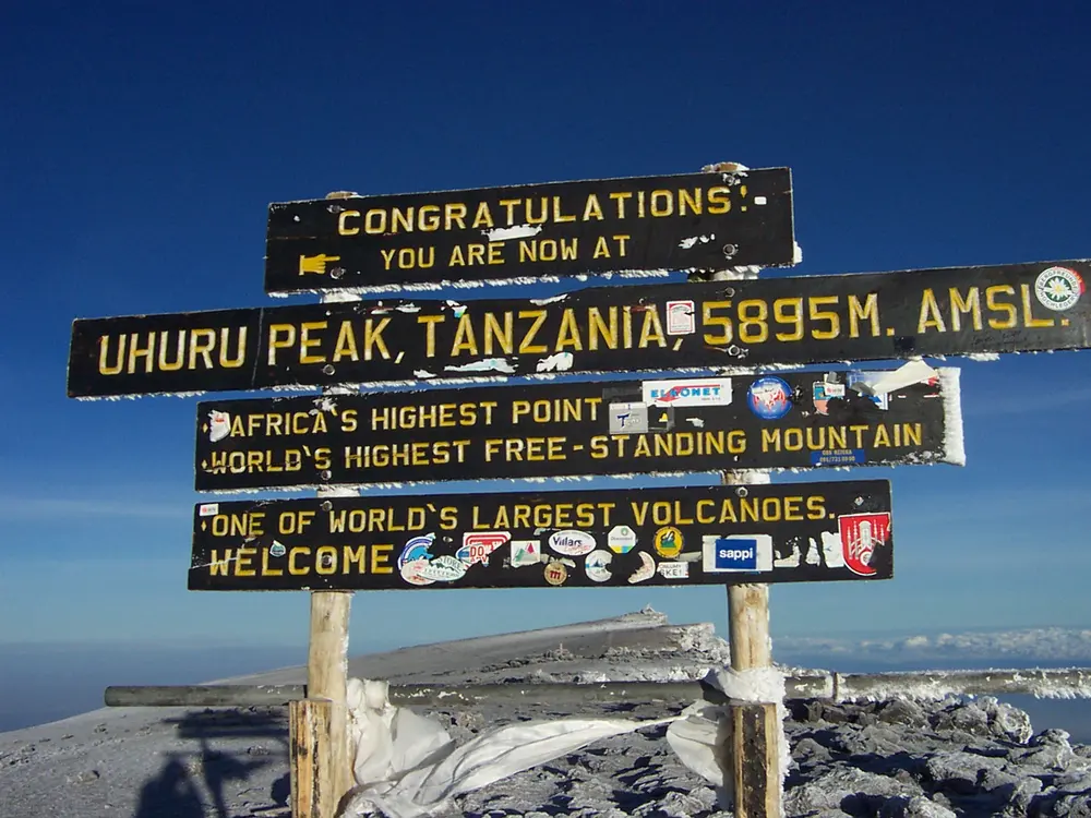
Kilimanjaro is the highest mountain in Africa, and although the climb needs no technical skill, it takes you to almost 5,900 m. The routes start in montane forest and climb above the tree line at around 2,700 m into open, high country, so the landscape changes markedly from one day to the next. Reaching Uhuru Peak on the crater rim of Kibo after a long, cold summit night is the reward.
The route
There are several official routes, and the choice shapes the trip. Marangu, the only route with huts, climbs from Marangu Gate through Mandara and Horombo huts to Kibo hut and descends the same way. The camping routes of Machame and Lemosho pass Shira camp, the Lava Tower and Barranco camp before a final night at Barafu camp. The summit push usually starts around midnight and takes about eight hours to Uhuru Peak, after which climbers on these routes descend by the Mweka route.
When to go
January, February and September are considered the best months for weather, with August and September the driest and April and May the wettest. Snow can fall at any time of year.
Getting there
Kilimanjaro International Airport is about 86 km from the park headquarters at Marangu, and most climbers spend the night before the climb in Moshi or Arusha. Moshi, the region's tourist hub, is about 44 km from the Marangu headquarters.
Permits and booking
Climbing is allowed only on designated routes and only with a licensed guide, under rules set by the Tanzania National Parks Authority, so in practice you book through a licensed operator. Park fees are charged for each day spent on the mountain.
How hard it is
The walking is not technical, but the altitude is serious, and six-day schedules carry a high risk of altitude sickness. A longer route with extra acclimatisation days gives you a much better chance of reaching the summit.
Where to sleep
Nights on the mountain are spent in tents at designated campsites, except on the Marangu route, which uses basic shared huts.
Tips
If you can, add acclimatisation days rather than choosing the fastest schedule.
Drink plenty of water and carry oral rehydration salts and high-energy snacks.
Give tips to guides, porters and cooks individually rather than through one person.
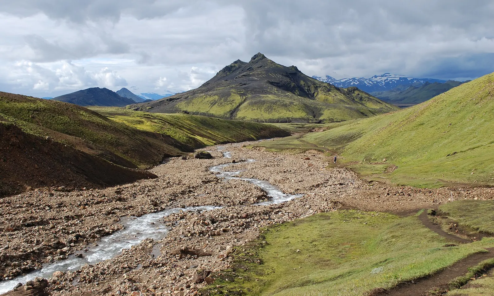
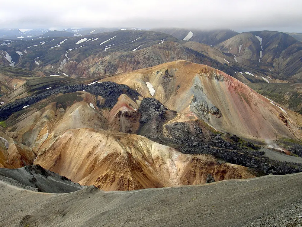
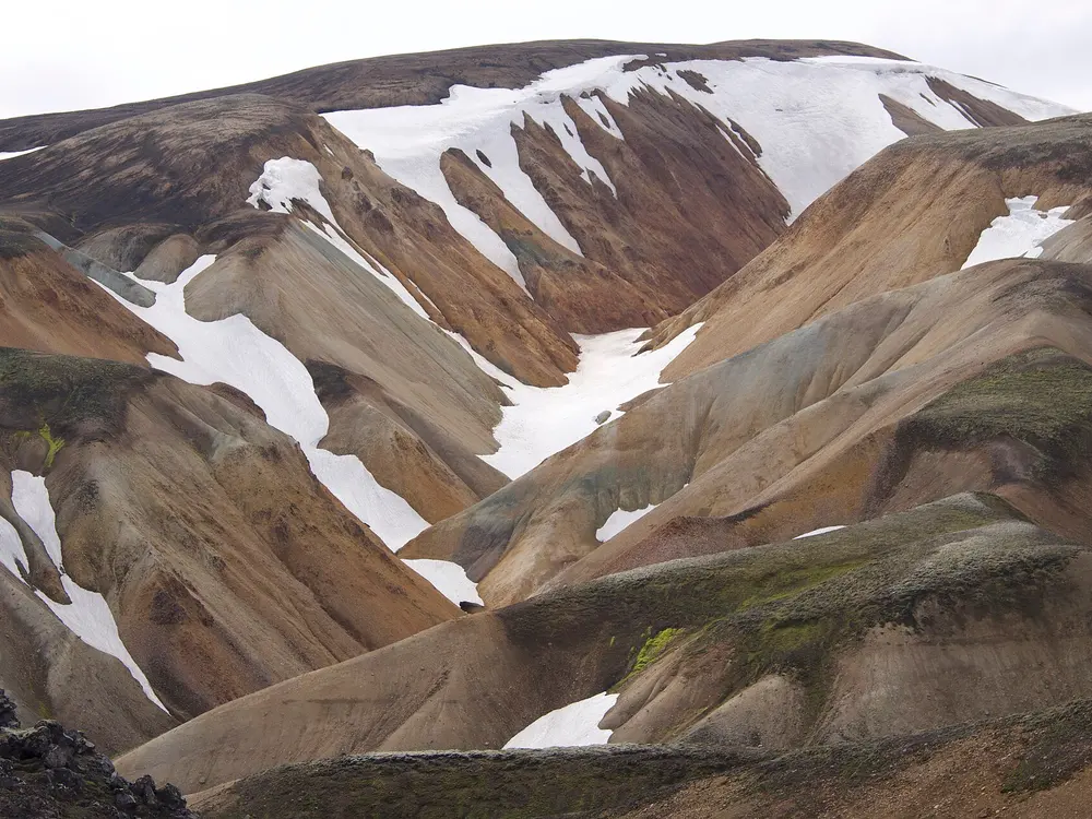
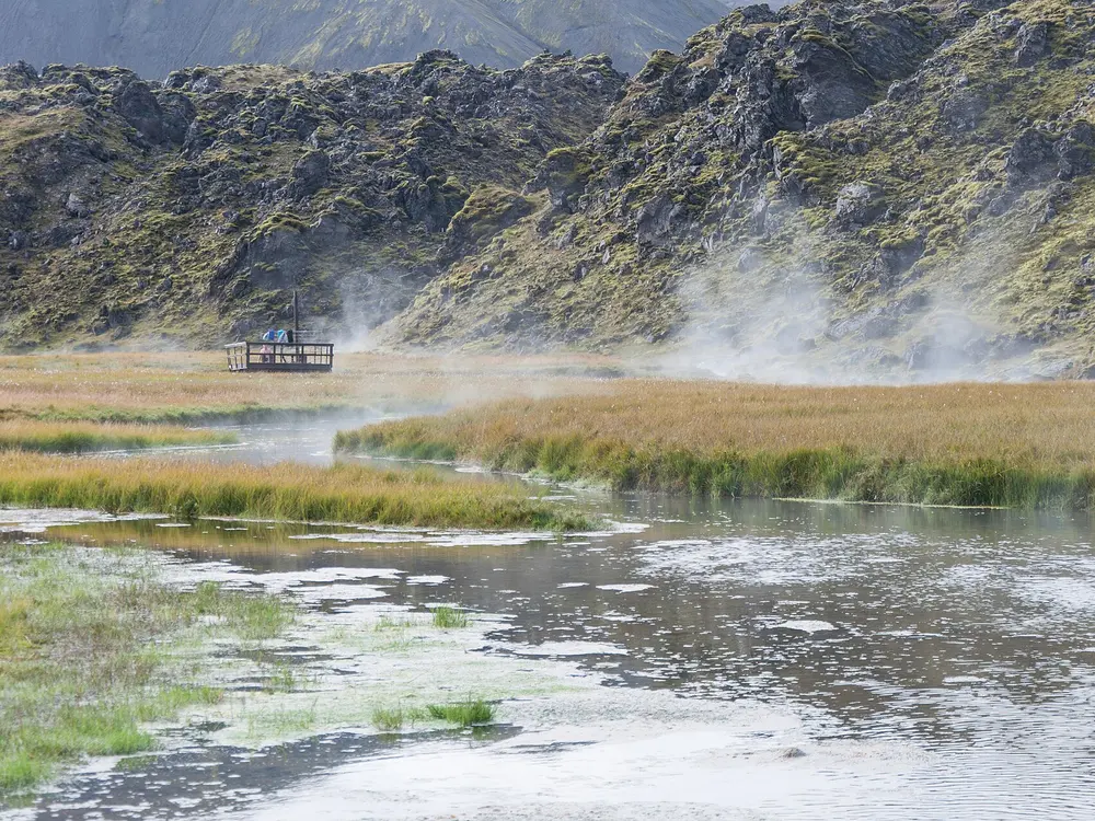
Few walks pack so much geology into a few days: the Laugavegur starts among the colourful hills and hot springs of Landmannalaugar and ends in the green glacial valley of Þórsmörk. In between you cross lava fields, black sand deserts and lingering snow, sleeping in huts run by the Icelandic Touring Association, Ferðafélag Íslands.
The route
Most people walk north to south, from Landmannalaugar to Þórsmörk, over four days. The first stage climbs past the Laugahraun lava field and the slopes of Brennisteinsalda to the Hrafntinnusker hut, about 12 km and the highest part of the trail. Day two drops 12 km to the lake hut at Álftavatn, day three crosses roughly 16 km of open sand to the huts at Emstrur (Botnar), near the Markarfljót canyon, and the last 15 km descends into the woods of Þórsmörk. From there walkers can add the Fimmvörðuháls pass between the Eyjafjallajökull and Mýrdalsjökull glaciers down to the waterfalls of Skógar.
When to go
Ferðafélag Íslands gives the average opening as 25 June to 15 September, though the real start depends on snow and on when the mountain roads open. Snow can still cover the trail early in the season, and rain or snow can arrive in any month.
Getting there
Buses run from Reykjavík to Landmannalaugar during the season, a ride of about three hours, and from Þórsmörk back to Reykjavík. Driving to Landmannalaugar needs a 4x4 that your rental company authorises for F-roads, and self-drivers must reserve parking in the summer season.
Permits and booking
Ferðafélag Íslands expects every hiker to hold a confirmed hut or campsite booking before starting. Huts often sell out in peak season, so book early.
How hard it is
You must wade at least three rivers, which become hard after rain, and early snow bridges near Hrafntinnusker can be unstable. Fog can cut visibility to almost nothing on the first two stages, and strong wind makes the exposed Mælifellssandur sands hard going.
Where to sleep
Ferðafélag Íslands huts stand at Landmannalaugar, Hrafntinnusker, Álftavatn, Hvanngil, Emstrur and Þórsmörk. Camping is allowed at every hut in designated areas only.
Tips
There is no rubbish collection at Hrafntinnusker or Emstrur, so carry everything on to the next hut.
Phone signal is patchy and huts have no wifi, so note the emergency number 112 before you set out.
Rivers rise quickly after rain, so leave time to wait for a safer crossing.
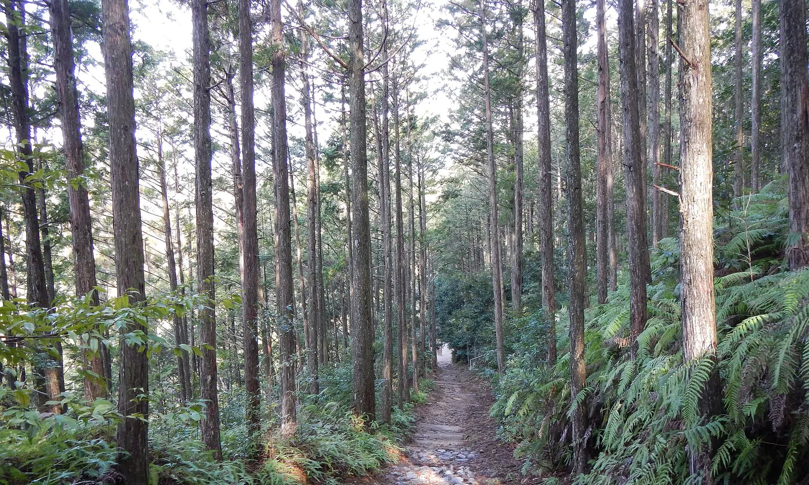
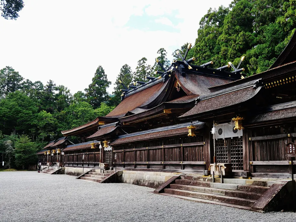
The Nakahechi is the old imperial road to the Kumano shrines, walked by pilgrims from Kyoto for more than a thousand years and inscribed by UNESCO in 2004 as part of the Sacred Sites and Pilgrimage Routes in the Kii Mountain Range. It is a forest walk rather than a summit walk, threaded with small oji shrines, and each night ends in a village guesthouse.
The route
The UNESCO section starts at Takijiri-oji, one of the five most important oji shrines, and climbs steeply at once towards Takahara, the village of mist. Day one continues past Daimon-oji, Jujo-oji and the small Gyuba Doji statue to Chikatsuyu, about 13 km in all, the last overnight stop for pilgrims before Hongu. Day two, about 25 km, passes Tsugizakura-oji to Hosshinmon-oji. The last few kilometres go through Fushiogami-oji, where pilgrims knelt at their first sight of the shrine, to Kumano Hongu Taisha and the giant torii at Oyunohara.
When to go
Spring (March and April, cherry blossom season) and autumn (October and November) are the favourite seasons. June to August is humid and wet, August and September is the peak of typhoon season, and in winter the days are short and most accommodation closes over New Year.
Getting there
The walk begins from Kii-Tanabe, where the bus to Takijiri takes about 40 minutes and luggage can be stored at the Tanabe Tourist Information Center next to JR Kii-Tanabe Station. From Hongu, buses run back towards Takijiri and on to Shingu.
Permits and booking
There is no trail permit; the booking that matters is your accommodation. The Kumano tourism bureau suggests booking about six months ahead for spring and autumn, and turning up at a guesthouse unannounced is not the custom.
How hard it is
The path is rugged mountain trail with about 1,010 m of climbing on the first day and some 1,360 m of descent between Tsugizakura-oji and Hongu. The second day can take 9 to 12 hours, so you need steady hill fitness more than any technical skill.
Where to sleep
Small family guesthouses (minshuku), hostels and campsites in Takahara and Chikatsuyu, and the hot spring villages of Yunomine, Kawayu and Wataze near Hongu. The mountain villages have little capacity and fill quickly in spring and autumn.
Tips
There are no restaurants between Tsugizakura-oji and Hongu, so order a packed lunch from your guesthouse.
Public bins are almost nonexistent, so carry out all your rubbish.
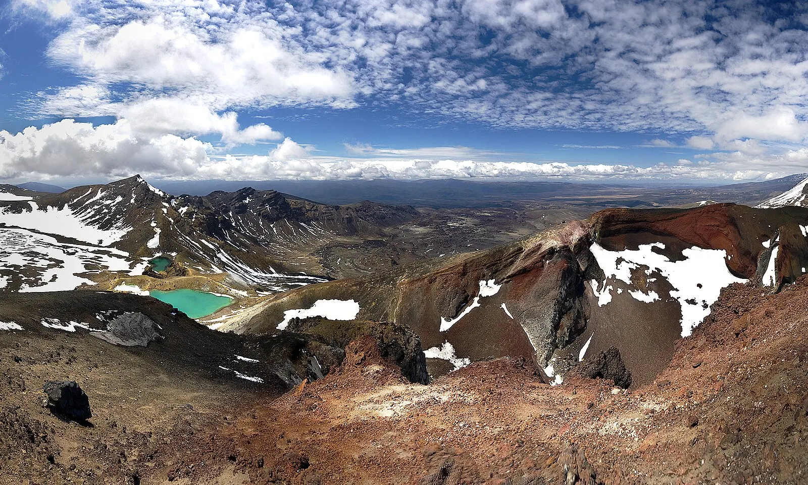
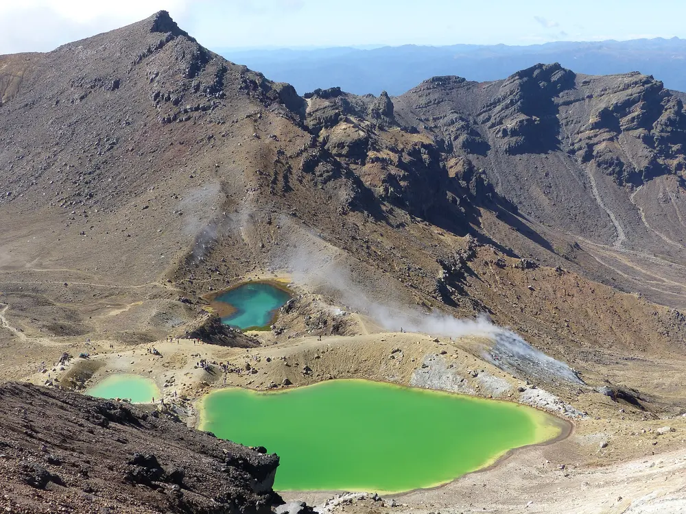
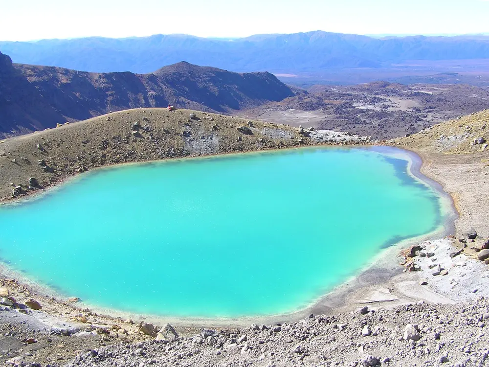
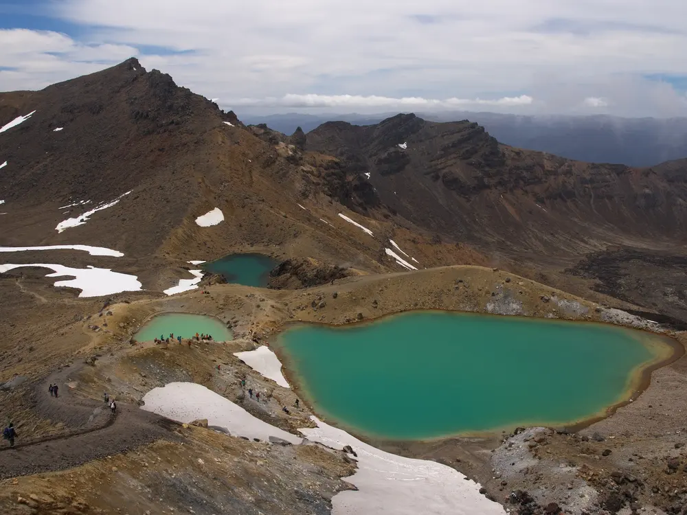
The crossing walks you through the middle of an active volcanic landscape in Tongariro National Park, which holds dual World Heritage status for both its natural and cultural values. You pass the flank of Mount Ngauruhoe, climb to the rim of Red Crater and look down on the Emerald Lakes, with steam vents and old lava flows all around.
The route
It is walked one way, from Mangatepōpō (1,120 m) to Ketetahi Road (760 m), because that direction involves less climbing. The first 5.4 km follow the Mangatepōpō Valley before a steep climb to the flat South Crater. Next comes the loose ascent to Red Crater, the high point, and a descent past the Emerald Lakes to the Blue Lake. The long walk down to Ketetahi gives views over Lake Rotoaira and Lake Taupō.
When to go
Walk it in the summer season, roughly late October to April. From May to late October snow, ice and avalanche terrain mean alpine skills and equipment are needed, and a guide is recommended.
Getting there
The nearest settlements are Whakapapa and National Park village, with Tūrangi and Taupō further off. Shuttles from the local towns are the best way to reach the track, and they generally do not run in winter.
Permits and booking
The Department of Conservation recommends that everyone books, and booking is free. In summer there is no parking at Mangatepōpō for anyone doing the full crossing, so plan a shuttle or a drop-off.
How hard it is
The department rates the fitness required as high, with 1,196 m of height change, loose rock on Red Crater and geothermal vents near the Emerald Lakes that can cause severe burns. Strong wind, heavy rain and poor visibility can arrive at any time of year.
Where to sleep
The closest bases are Whakapapa, National Park village and Tūrangi. Walkers on the longer Tongariro Northern Circuit use the booked huts at Mangatepopo, Oturere and Waihohonu.
Tips
Carry all the water you need, as none along the track is safe to drink.
Toilets are spaced every one to two hours, so plan around them.
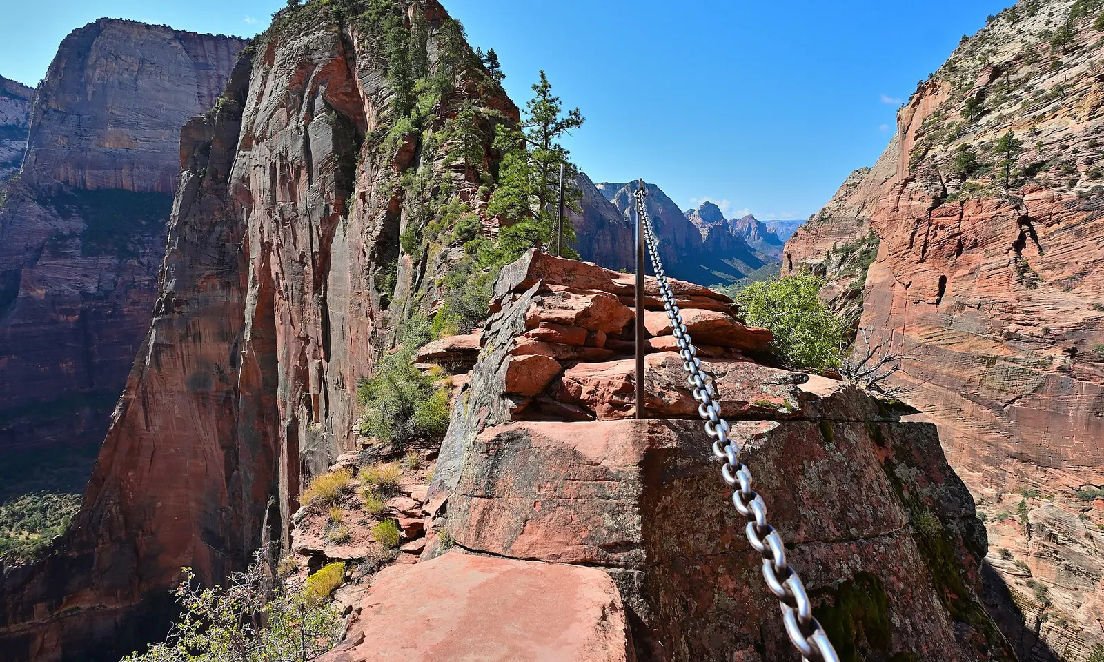
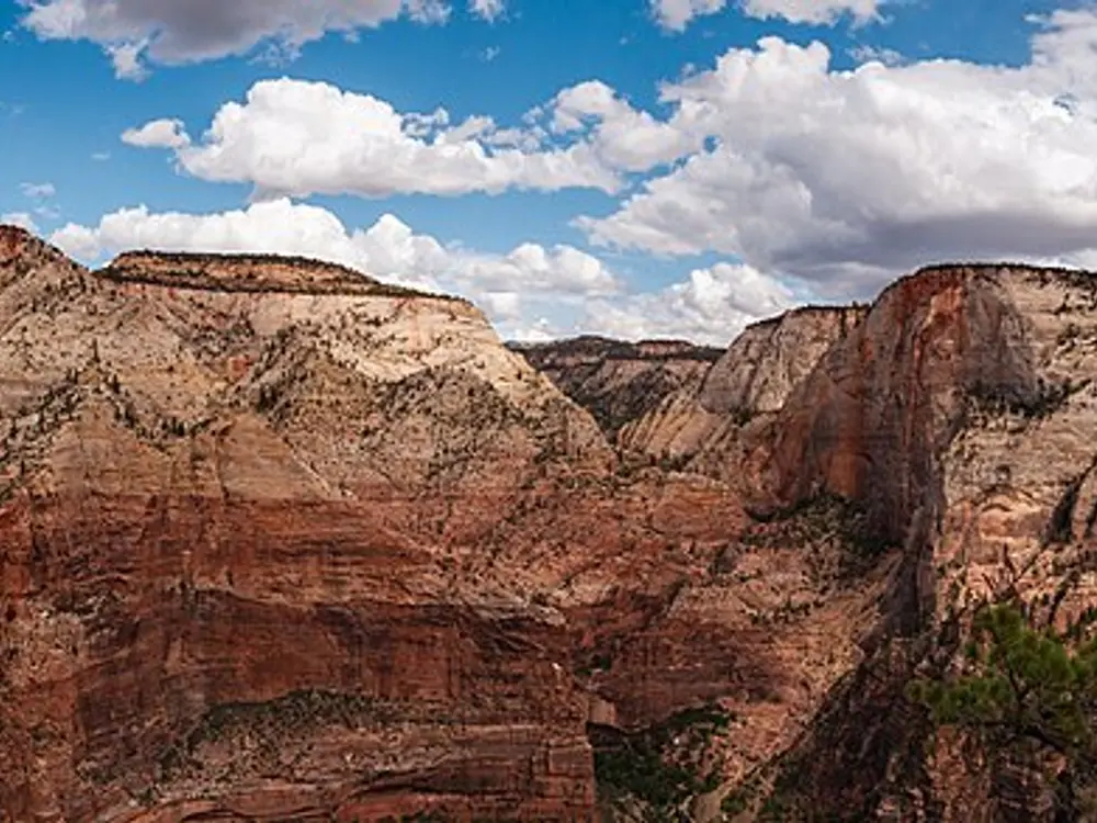
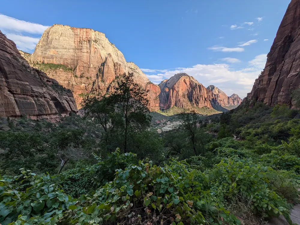
Angels Landing is a tower of Navajo sandstone standing in the middle of Zion Canyon, and the trail to it was cut into solid rock in 1926. The final half mile follows a narrow ridge with drops on both sides, holding on to chains, and ends with a view down the length of the canyon.
The route
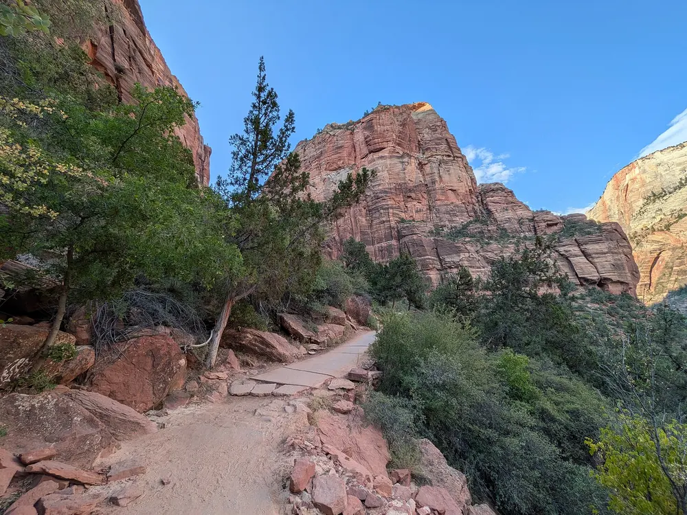
Hikers start at the Grotto shuttle stop, cross the Virgin River and climb the West Rim Trail in steep switchbacks up the canyon wall. The path then levels out in the shaded Refrigerator Canyon before Walter's Wiggles, a stack of 21 switchbacks, brings you to Scout Lookout. From there the permit section runs half a mile along a knife-edge ridge with a chain for support, to the summit and back. Total gain for the round trip is 1,488 feet (about 450 m).
When to go
Spring (March and April) and autumn (October and November) are the most comfortable months, while summer regularly passes 38°C and the July to September monsoon brings afternoon thunderstorms. In winter the trail stays open, but ice can linger where the rock is shaded.
Getting there
The nearest airports are St. George and Las Vegas, and Springdale is the town at the park's South Entrance. From March to November the Zion Canyon Scenic Drive is closed to private cars and the free park shuttle takes you to the Grotto.
Permits and booking
Everyone going beyond Scout Lookout needs a permit, won either in a seasonal lottery or a day-before lottery on recreation.gov. Each application costs $6 for up to six people, plus $3 per person if you win.
How hard it is
The climb to Scout Lookout is strenuous, and the chain section is under a metre wide in places, with drops of up to 1,000 feet on each side and two-way traffic. The park advises against going up if you are afraid of heights, if storms are near or if the rock is wet.
Where to sleep
Zion Lodge sits inside the canyon on the shuttle route, and Springdale, just outside the South Entrance, has its own free shuttle line into the park.
Tips
There is no drinking water on the trail, so fill up at the Grotto and carry about 4 litres per person.
Phone signal is unreliable at the permit checkpoint, so download your permit before you set off.
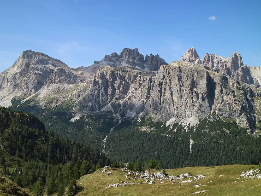
Alta Via 1 is the classic high route through the Dolomites and the gentlest of the numbered routes, which makes it a good first hut-to-hut trek in the Alps. You walk from a famous lake to the edge of Belluno through the eastern Dolomites, sleeping in mountain rifugi with dinner and breakfast included.
The route
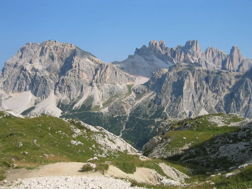
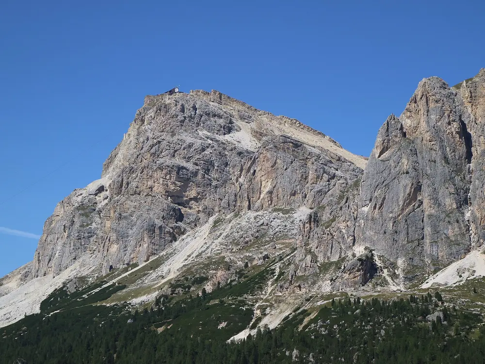
The route runs north to south, signed with blue triangles carrying the number one, and grows harder the further south you go. From Lago di Braies (1,494 m) it climbs to Rifugio Biella and Rifugio Fanes, then up to Rifugio Lagazuoi, the high point, where you can descend through First World War tunnels or take the cable car to Passo Falzarego. The middle stages pass Rifugio Nuvolau and Croda da Lago to Palafavera, Vazzoler and Carestiato. The final days cross Pramperét and Pian de Fontana and drop to La Pissa, near Belluno.
When to go
Walk it between late June and mid-September, when the route is largely free of snow and the rifugi are open. Huts are busiest in July and August, when organised groups book early.
Getting there
Fly to Venice and take buses via Cortina d'Ampezzo to Dobbiaco, or come by train to Monguelfo or Villabassa. From 1 July to 15 September, Lago di Braies can be reached by car between 9:00 and 16:00 only with an online booking, and the buses must be reserved online too. At the far end, a short bus links La Pissa with Belluno, which has trains towards Venice.
Permits and booking
The bookings that matter are the rifugi, strongly recommended for July and August and often with a deposit. In summer, also book the bus or parking for Lago di Braies.
How hard it is
A typical day means about seven hours of walking with roughly 1,000 m of ascent and descent. Most of the route needs no climbing gear, but there are short cable-aided passages, and the southern stages near Bivacco Marmol are graded for via ferrata equipment, with easier variants.
Where to sleep
Wild camping is forbidden, so nights are spent in rifugi or valley hotels, usually on half board. Bring a sleeping liner, as huts require one.
Tips
Start early each day, as thunderstorms typically build from midday.
Carry plenty of cash, since not every rifugio takes cards.
Order a packed lunch from your hut the evening before.
Sources
Distances, heights, seasons and permit rules were checked against these pages. Rules change, so check the park or trail authority before you go.