Rungs Labs

Rungs Pilgrimage · Hikes · United Kingdom

The 10 Best Hikes in the UK

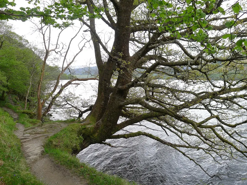
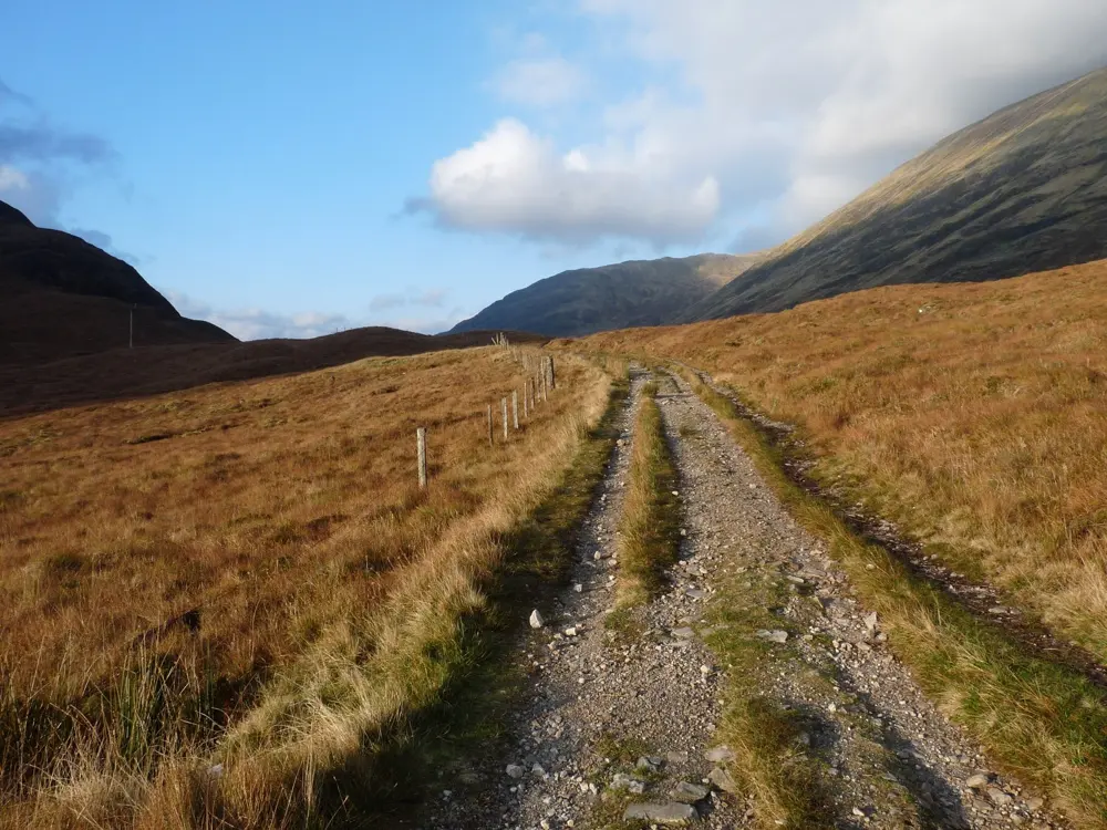
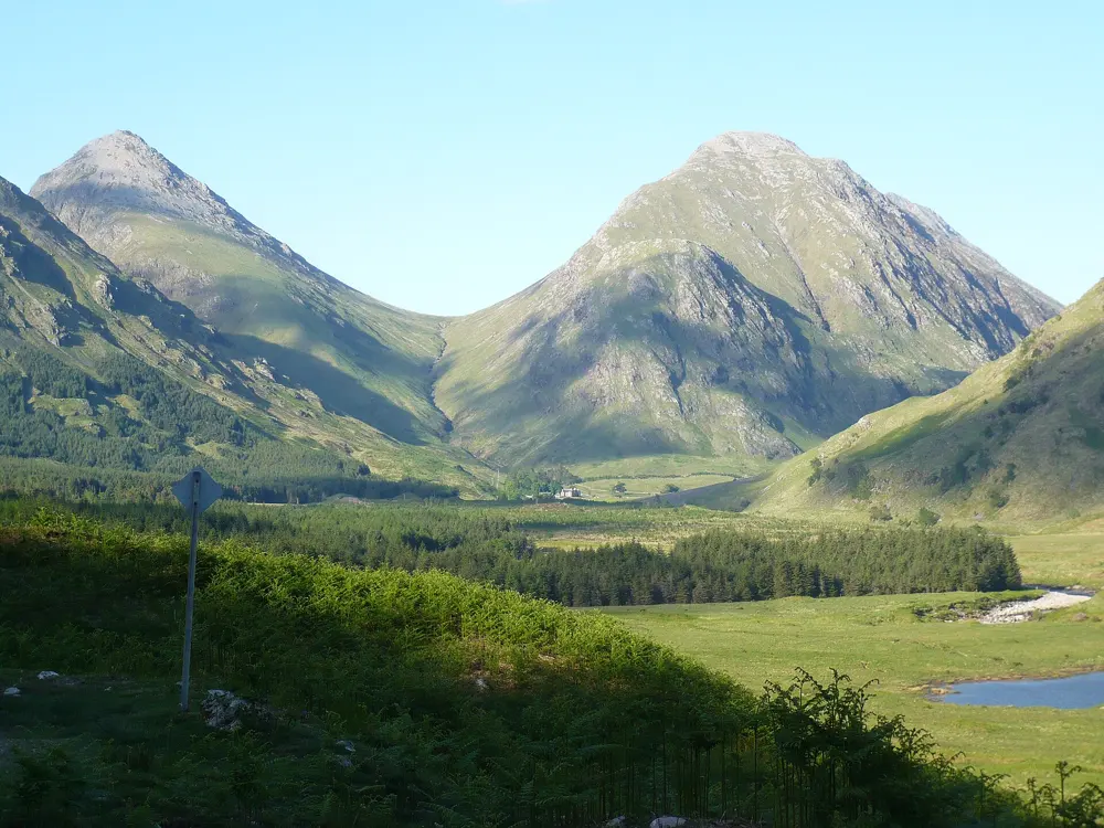
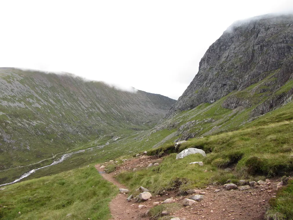
West Highland Way, Milngavie to Fort William, Scotland. Photo: John Ferguson (CC BY-SA 2.0)

The United Kingdom is small, but its hills and coasts hold some of the most walked paths in Europe. These ten cover all four nations, from the Highlands and the Isle of Skye to the Mournes, the mountains of Wales, the Lake District, the Peak District and the long trails that cross northern England and wrap around the south west.

Most of these walks need no permit, but parking, wild camping and weather rules vary from place to place, and the weather on the tops can turn fast in any month. For each one you get the distance, the route, the best season, how to get there, the access rules and where to sleep. Every fact comes from the park, the trail or the route's own records, linked at the bottom of the page.

Updated 2026-10-18

  1. 01West Highland WayMilngavie to Fort William, Scotland
  2. 02Ben Nevis by the Mountain TrackLochaber, Scottish Highlands
  3. 03Helvellyn by Striding EdgeLake District National Park, Cumbria, England
  4. 04Yr Wyddfa (Snowdon) by the Pyg Track and Miners' TrackEryri National Park (Snowdonia), Wales
  5. 05The QuiraingTrotternish, Isle of Skye, Scotland
  6. 06South West Coast PathMinehead to Poole, south west England
  7. 07Slieve DonardMourne Mountains, County Down, Northern Ireland
  8. 08Hadrian's Wall PathWallsend to Bowness-on-Solway, northern England
  9. 09Pen y Fan and Corn DuBannau Brycheiniog National Park (Brecon Beacons), Wales
  10. 10Kinder Scout and Jacob's LadderPeak District National Park, Derbyshire, England
01 / 10

West Highland Way

Milngavie to Fort William, Scotland
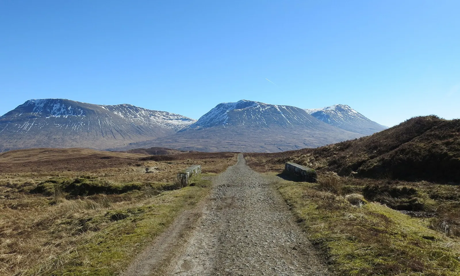
The West Highland Way running as a stony track towards snow-capped hills

Photos: John Ferguson (CC BY-SA 2.0), Tim Heaton (CC BY-SA 2.0), Alan Reid (CC BY-SA 2.0), Alan O'Dowd (CC BY-SA 2.0)

Distance
154 km (96 miles) one way
Time
6 to 7 days on average
Elevation gain
About 3,155 m
Highest point
About 550 m, Devil's Staircase

Why go

Opened on 6 October 1980, the West Highland Way was Scotland's first official long distance route, and about 45,000 people now walk the whole of it each year. It starts on the edge of Glasgow and crosses into the Highlands, running the length of Loch Lomond and over Rannoch Moor to finish below Ben Nevis.

The route

From Milngavie the Way heads north to Drymen, then over Conic Hill, where a chain of islands in Loch Lomond marks the Highland Boundary Fault. It follows the east shore of the loch past Rowardennan and the falls at Inversnaid to Inverarnan, then climbs through Crianlarich and Tyndrum. An old road crosses Rannoch Moor to Kingshouse, and the zigzags of the Devil's Staircase lead over to Kinlochleven. The last day goes through the Lairig Mor pass and down to Glen Nevis, ending at the bronze walker statue in Gordon Square, Fort William.

When to go

May is the busiest month and beds run short. Spring and autumn are quieter. Midges are worst from June to August, in a season that runs from May to September. From November to March there can be snow and ice on the high ground in the north, and you need winter navigation skills, an ice axe and crampons.

Getting there

Milngavie has regular trains from Glasgow. There is no car park for walkers at either end, though parking outside Milngavie station is currently free. From Fort William, trains and Citylink buses run back to Glasgow, and the electric Ember bus goes to Edinburgh.

Permits and booking

No permit is needed to walk the Way. From 1 March to 30 September, byelaws along Loch Lomond allow camping only in campsites and permit areas, and a permit costs £4.30 per tent per night; breaking the rules can lead to a fine of up to £500. Dogs are not allowed in the two enclosed fields before Conic Hill during lambing, usually mid April to the end of May, even on a lead.

How hard it is

Most of the Way is on good tracks, and it is waymarked throughout, but you should still carry a map and compass. North of Inversnaid the lochside path is rocky and slow, and heavy rain can make some burn crossings impassable. Rannoch Moor is very exposed, with no shelter between Inveroran and the Glencoe Ski Centre apart from the ruins of Ba cottage.

Where to sleep

The official seven day plan stops at Drymen, Rowardennan, Inverarnan, Tyndrum, Inveroran and Kinlochleven, and booking ahead is advised all year. Sallochy campsite sits beside the Way on the east shore of Loch Lomond, and the Kingshouse Hotel has a bunkhouse. Outside the byelaw areas, wild camping is allowed under the Scottish Outdoor Access Code.

Tips

  • A waymarked high route opened in June 2026 keeps 50 to 70 m above Glen Nevis and drops into Fort William near Alma Road, away from the A82.
  • The low path between Ptarmigan Lodge and Rowchoish Bothy has reopened after repairs, but check the notices on the official site before you set off.
02 / 10

Ben Nevis by the Mountain Track

Lochaber, Scottish Highlands

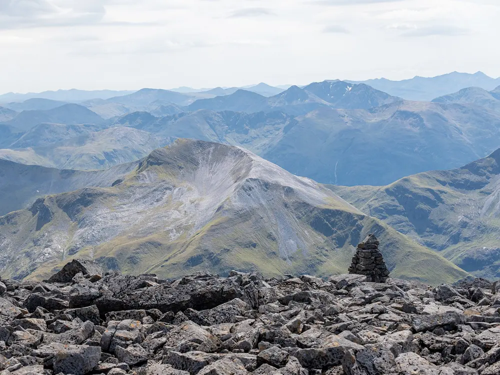
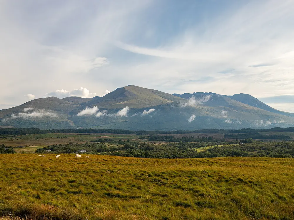
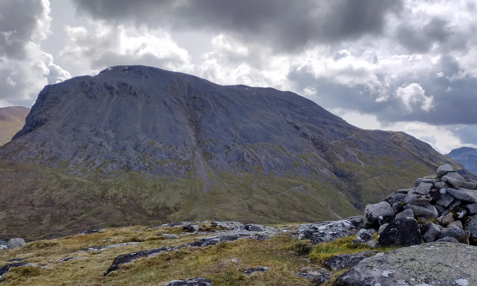
The rounded summit of Ben Nevis seen from Meall an t-Suidhe

Photos: Pampuco (CC BY-SA 4.0), Gareth James (CC BY-SA 2.0), T-Dubby-Dubz (CC BY-SA 4.0), Radomír Šalda (CC BY-SA 4.0)

Distance
About 16.5 km there and back
Time
6 to 9 hours
Elevation gain
About 1,350 m
Highest point
1,345 m

Why go

Ben Nevis is the highest mountain in the British Isles, and an estimated 150,000 people visit it each year, about three quarters of them on the Mountain Track from Glen Nevis. The path was built in 1883 for the ponies that supplied the summit observatory, and the ruins of that observatory still stand on the top.

The route

The track starts at Achintee, on the east side of Glen Nevis, at about 20 m; you can also cross the River Nevis by footbridge from the Visitor Centre or the youth hostel. It climbs to the halfway lochan, Lochan Meall an t-Suidhe, at 570 m, then zigzags up the western flank onto the summit plateau. A line of large cairns leads to the trig point beside the observatory ruins, where an emergency shelter sits on the old tower. You return the same way.

When to go

Summer has the best weather and the biggest crowds. Snow can lie on the mountain for about seven months of the year, and cornices can hang over the north face into summer. The observatory recorded summit fog 55% of the time even in May and June, so check the mountain forecast first.

Getting there

Achintee is about 2 km from Fort William, which has trains from Glasgow and the Caledonian Sleeper from London Euston. In May 2026 Highland Council approved pay and display charges at the Achintee Road End car park, with overnight parking banned from 10pm to 8am. The Visitor Centre car park, with toilets during opening hours, fills early on busy summer days.

Permits and booking

No permit or ticket is needed. Access is under the Scottish Outdoor Access Code, and the John Muir Trust, which has owned the summit since 2000, maintains the main path.

How hard it is

The path is a long climb on gravel and rock, with no toilets, food or water on the way. The danger is on the plateau in cloud, between the north face cliffs and Five Finger Gully, which draws walkers who drift off line. From the trig point the standard descent is a grid bearing of 231 degrees for 150 m, then 282 degrees to meet the track, so carry a map and compass.

Where to sleep

Fort William has the most beds. Glen Nevis Caravan and Camping Park sits at the foot of the mountain, and Glen Nevis Youth Hostel faces the footbridge onto the path. Wild camping is allowed under the Access Code: small numbers, away from roads and buildings, no more than two or three nights in one place.

Tips

  • Do not follow phone map directions to the Upper Falls car park: the John Muir Trust warns that the line they suggest up the south slopes is dangerous.
  • Carry your litter down: the Trust's rangers clear up to 120 kg a year from the mountain, much of it fruit peel and wrappers.
03 / 10

Helvellyn by Striding Edge

Lake District National Park, Cumbria, England

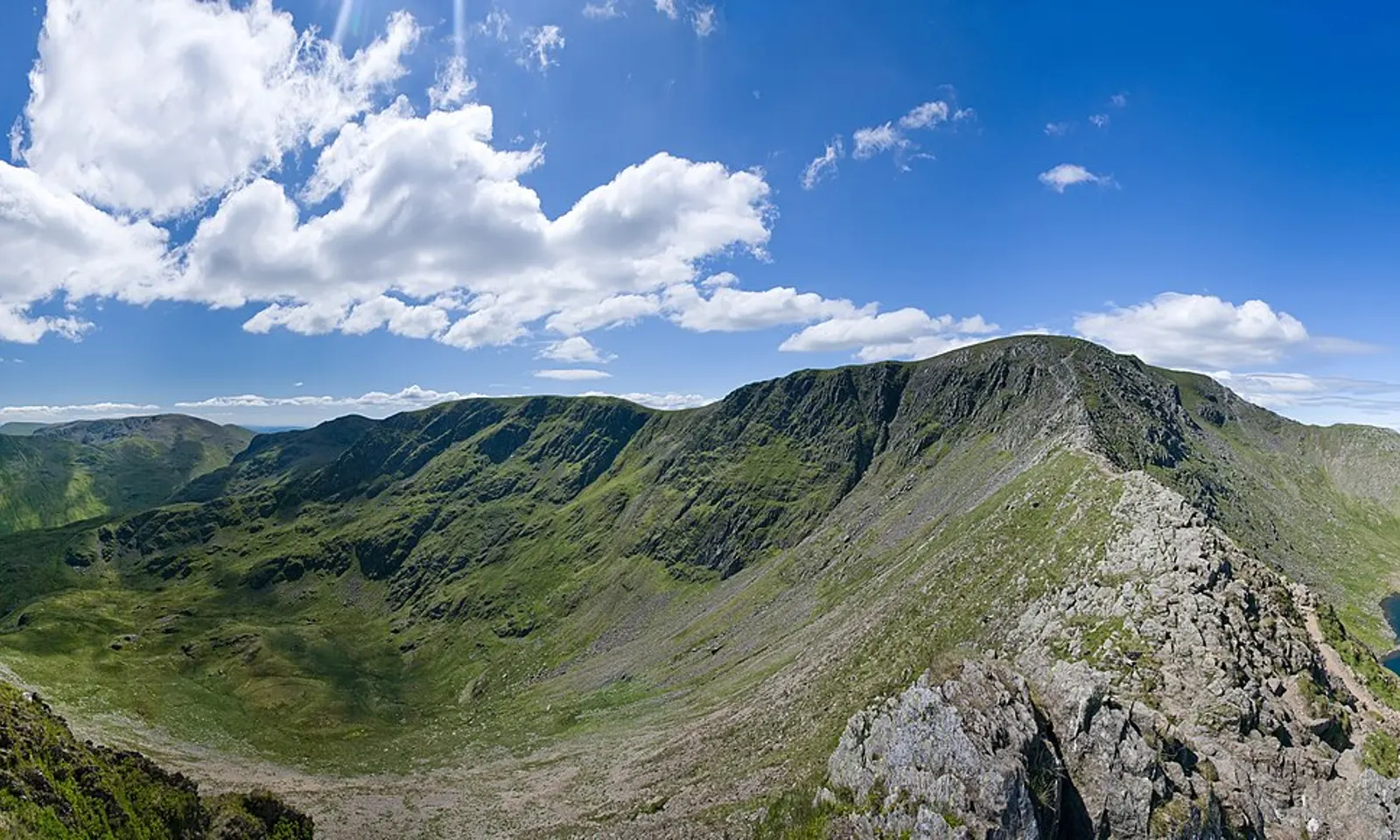
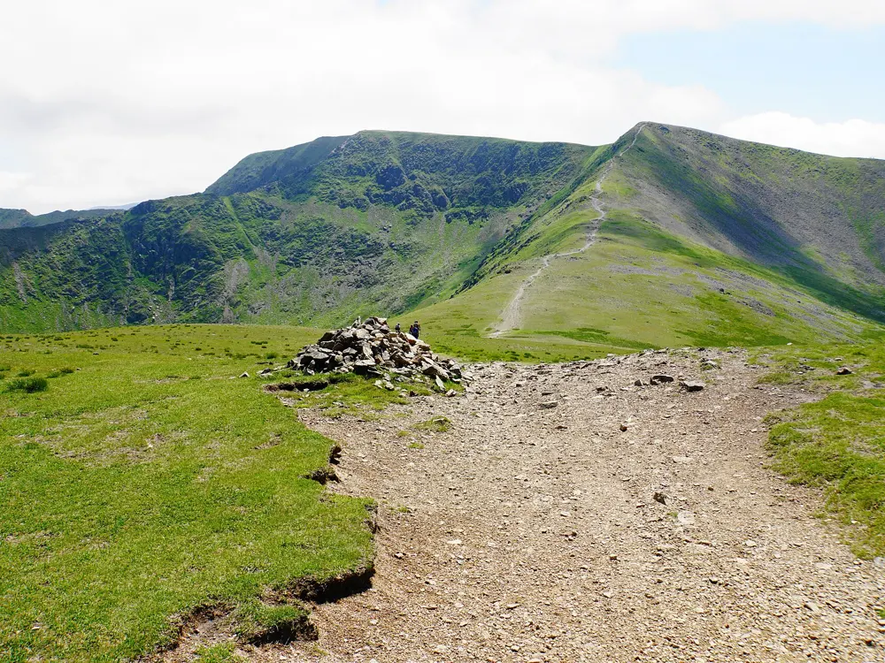
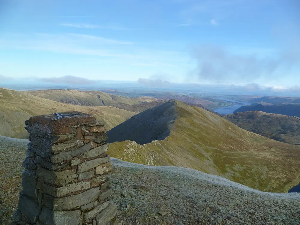
Striding Edge leading up to Helvellyn above Red Tarn

Photos: Diliff (CC BY-SA 3.0), Bill Boaden (CC BY-SA 2.0), Michael Graham (CC BY-SA 2.0), Michael Graham (CC BY-SA 2.0)

Distance
13.2 km (8.2 miles) loop
Time
5 to 6 hours
Highest point
950 m
Scramble
Grade 1 on Striding Edge

Why go

At 950 m, Helvellyn is the third highest point in England, and its eastern side drops into glacial coves divided by two sharp ridges. The classic round goes up the narrow arête of Striding Edge and down the shorter Swirral Edge, with the corrie lake of Red Tarn between them.

The route

From the car park in Glenridding the path climbs past Mire Beck onto Birkhouse Moor and follows the wall to Hole-in-the-Wall, now a ladder stile. Striding Edge runs for over 1.5 km from here to the summit plateau. Its awkward spot is a short clamber down of a few metres, which a path on the left avoids, and the steep, eroded climb after the ridge is often the hardest part. You descend Swirral Edge on firm rock with good handholds, with an optional detour to Catstye Cam (890 m), and return past Red Tarn and down Red Tarn Beck.

When to go

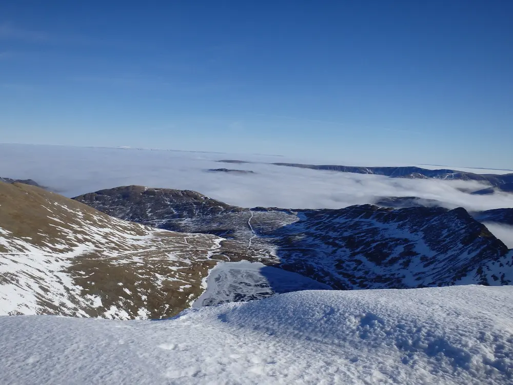
Pick a clear day with dry rock and light wind. In winter the National Park's Fell Top Assessors climb Helvellyn to report on conditions, and their Weatherline reports run daily from December to April. Even in early April 2026 the wind chill on the summit was below freezing.

Getting there

Stagecoach bus 508 runs from Penrith station to Glenridding all year and stops beside the Ullswater Information Centre at Beckside Car Park (CA11 0PD). Ullswater Steamers also sail to Glenridding Pier all year. The car park can be full by mid-morning on sunny weekends.

Permits and booking

No permit is needed; you pay only for parking. Wild camping technically needs the landowner's permission, but is normally tolerated above the highest fell wall for one night with one or two tents, and fires are not allowed.

How hard it is

Hard, with a real scramble. Striding Edge is narrow, with steep drops on both sides, and has seen fatal falls as recently as 2017. In winter both edges are for experienced walkers carrying an ice axe and crampons who know how to use them.

Where to sleep

Glenridding and Patterdale are the bases. YHA Helvellyn sits up the valley at Greenside, at the foot of several routes. Red Tarn is a popular wild camping spot.

Tips

  • Take a small rucksack on Striding Edge, since a heavy pack can pull you off balance on the clambers.
  • If the edges are wet or windy, the long, easy path from Glenridding past the old Greenside lead mine is the alternative.
04 / 10

Yr Wyddfa (Snowdon) by the Pyg Track and Miners' Track

Eryri National Park (Snowdonia), Wales

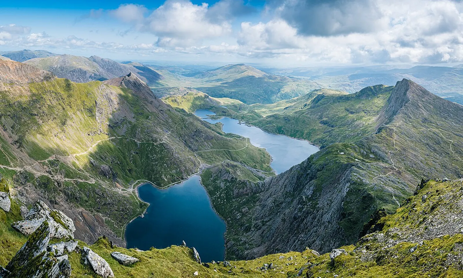
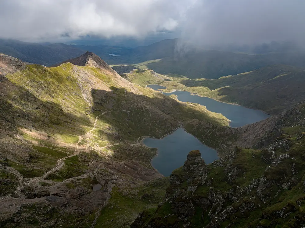
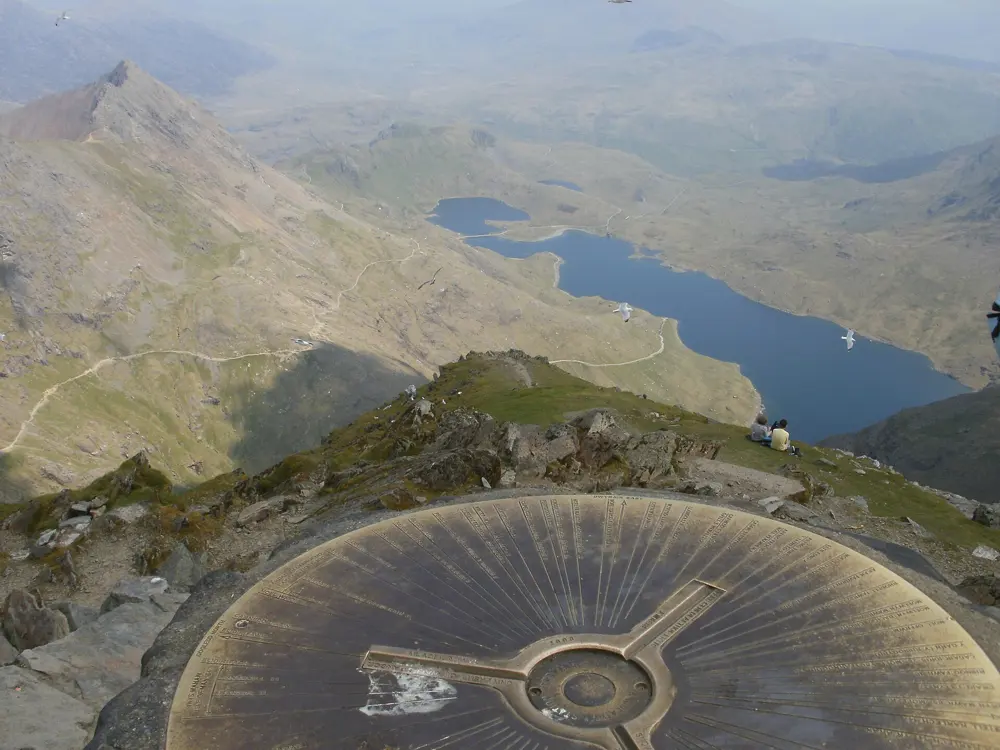
Glaslyn and the paths up Yr Wyddfa seen from above

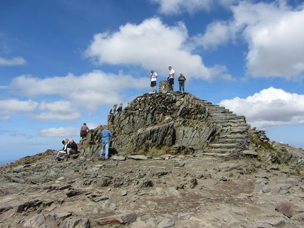
Photos: Julian Herzog (Website) (CC BY 4.0), Julian Herzog (Website) (CC BY 4.0), Peter S (CC BY-SA 2.0), Gareth James (CC BY-SA 2.0)

Distance
12 km (7.5 miles) loop
Time
5 to 7.5 hours
Elevation gain
About 824 m
Highest point
1,085 m

Why go

Yr Wyddfa is the highest mountain in Wales and the highest point in the British Isles outside Scotland. Going up the Pyg Track and down the Miners' Track is a popular loop from Pen y Pass, with lakes and old copper workings below you. On a clear day the park authority says 18 lakes and 14 peaks over 914 m can be seen from the top.

The route

The Pyg Track leaves the far corner of Pen y Pass car park and climbs steeply over rocky ground for about an hour to Bwlch y Moch. Bear left over two stiles (the right fork is Crib Goch, a knife-edge ridge for experienced scramblers) to a standing stone above Glaslyn where the Miners' Track joins, then zigzag up to Bwlch Glas and the summit. To come down, turn right at the smaller standing stone below the zigzags onto the Miners' Track, which drops steeply over scree to Glaslyn, passes the ruined Britannia copper mill and crosses the causeway over Llyn Llydaw back to Pen y Pass.

When to go

Weekends and school holidays are busiest, and queues can form near the summit. The summit café, Hafod Eryri, has the only toilet on the mountain and opens only when trains run to the top, generally from May; check the railway's website. In ice and snow the scree above Glaslyn is for experienced walkers with proper equipment.

Getting there

Pen y Pass car park is pre-book only until 1 November 2026, through JustPark, from £25 for up to 8 hours. Otherwise park at Nant Peris Park and Ride (£5 a day) or in Llanberis and take the Sherpa'r Wyddfa bus, every 15 to 30 minutes in season.

Permits and booking

No permit or fee is needed to walk on Yr Wyddfa. The only booking is for a car space at Pen y Pass.

How hard it is

The park authority grades both tracks hard and strenuous, for experienced walkers with good fitness and navigation skills. The weather at the top can be very different from the car park, and there are steep drops beside the path above Bwlch Glas.

Where to sleep

YHA Snowdon Pen-y-Pass is across the road from the start. Wild camping is not permitted anywhere in Eryri without the landowner's permission.

Tips

  • Remember the two standing stones on the way up: they mark where you leave the main path for the Miners' Track.
  • The summit tap water is not safe to drink, so carry all your water, and check Yr Wyddfa Live and the Met Office summit forecast before you go, since phone signal is poor until the top.
05 / 10

The Quiraing

Trotternish, Isle of Skye, Scotland

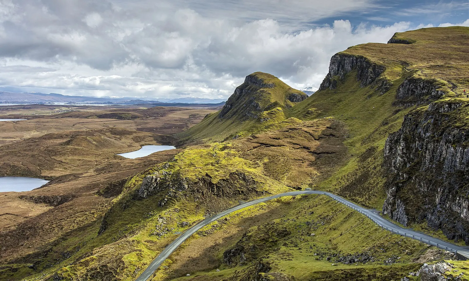
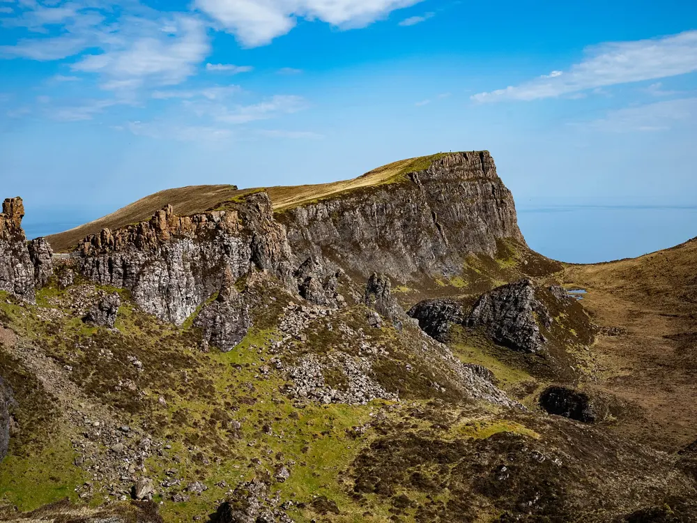
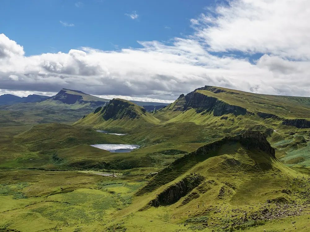
The road and cliffs of the Quiraing on Skye, with lochans below

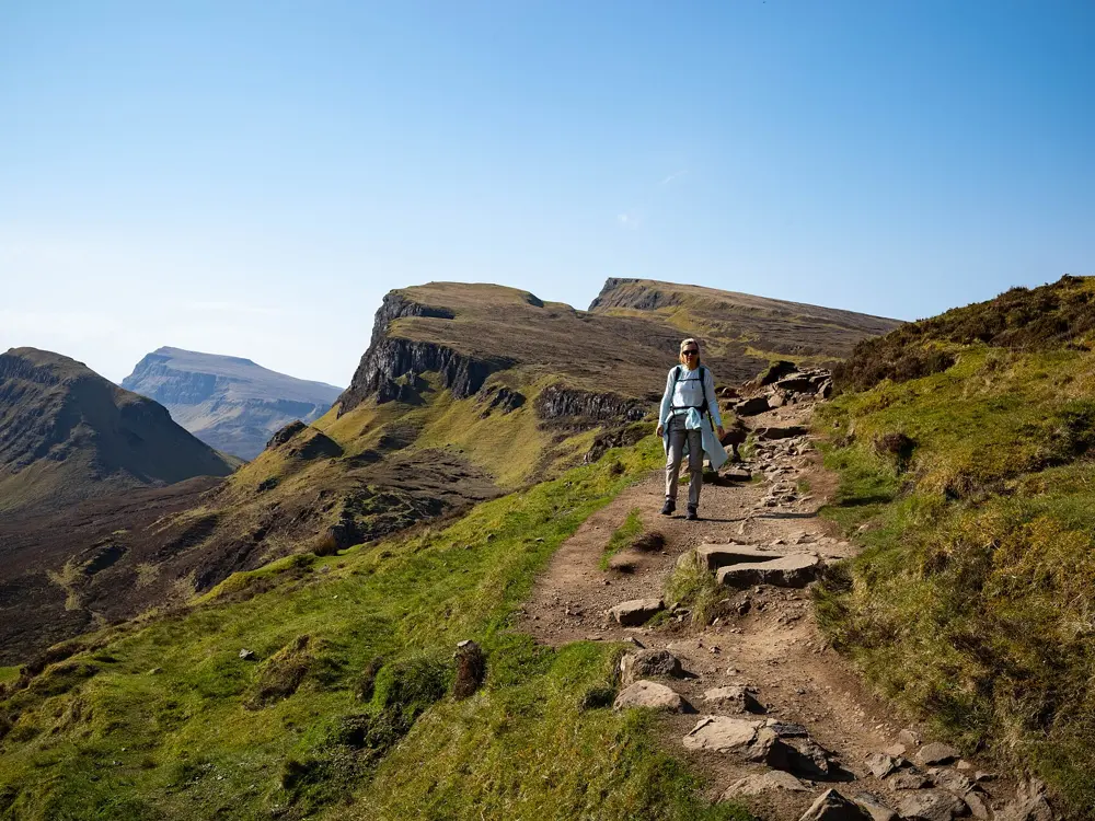
Photos: MPerkowski (CC BY-SA 4.0), rboed* (CC BY 2.0), rboed* (CC BY 2.0), Colin (CC BY-SA 4.0)

Distance
6.5 km (4 miles) circuit
Time
3 to 4 hours
Elevation gain
About 374 m
Parking
£3 up to 3 hours, £6 up to 6 hours

Why go

The Quiraing sits on the eastern face of Meall na Suiramach, the northernmost summit of the Trotternish escarpment, where a thick layer of basalt slid over weaker rock and broke into cliffs and pinnacles. The Needle rises about 37 m, the Prison looks like a medieval keep, and the Table is a grassy plateau about the size of a football field. The landslip is still moving.

The route

Start at the paid car park at the top of the Quiraing pass, about 3 miles west of Staffin. Going anticlockwise, climb steeply onto the ridge by Maoladh Mor and follow the clifftop north, then drop through the gap at Fir Bhreugach to the cairn below the Needle. A steep, loose detour leads up to the Table. The lower path takes you back beneath the cliffs and past the Prison. The true summit, at 543 m, is an optional extra away from the best scenery.

When to go

A clear day matters more than the season, since cloud hides the pinnacles. The car park fills on sunny summer days, so arrive early or in the late afternoon. The path is slippery after rain, and in snow it can need an ice axe and crampons.

Getting there

The car park is at the high point of the minor road between Staffin and Uig. Stagecoach 57 buses run from Portree to Staffin and Flodigarry in about 40 to 50 minutes, but none goes up the pass road. Walking up from Flodigarry makes a longer day of about 11 km.

Permits and booking

No permit is needed. The Highland Council car park has 40 spaces for cars and motorcycles, is pay and display from 8am to 8pm every day, and allows a maximum stay of 12 hours. Under the Scottish Outdoor Access Code you may walk here freely if you act responsibly, but access rights do not cover vehicles, so park in the car park.

How hard it is

Walk Highlands rates this a hill circuit, and it suits anyone used to rough paths. The climbs onto and off the ridge are steep, the ridge itself can be boggy, and the final stretch to the true summit has no path. Near the end of the lower path a short scramble across a wet gully catches some people out, and strong wind funnels between the pinnacles.

Where to sleep

Staffin, a few miles down the road, has a caravan and camping site that opens for the spring to autumn season, and booking is suggested. Portree has the widest choice of rooms. Wild camping is allowed under the Access Code for small numbers in lightweight tents, for no more than two or three nights in one place, well away from roads and buildings, leaving no trace.

Tips

  • If the car park is full, start from Flodigarry or come back later in the day.
  • The path is looked after by the Staffin Community Trust and volunteers, so keep to the main line and avoid widening the worn sections.
06 / 10

South West Coast Path

Minehead to Poole, south west England

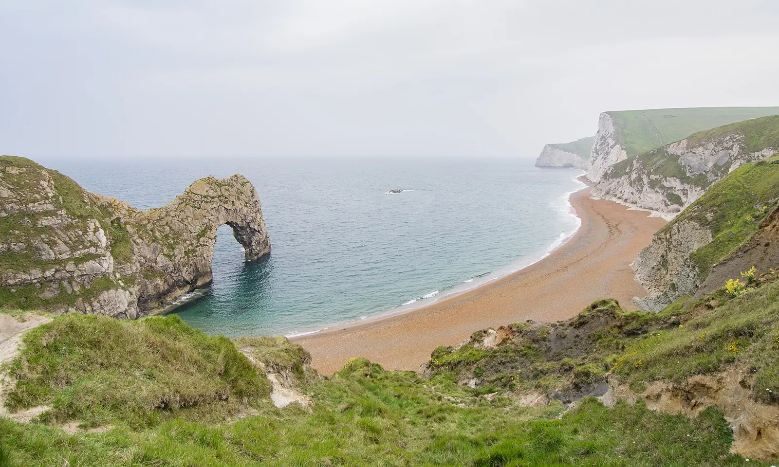
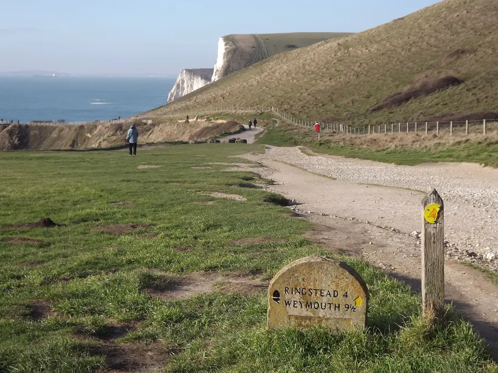
Durdle Door and the beach below the coast path in Dorset

Photos: Antoine Lamielle (CC BY-SA 4.0), Colin Smith (CC BY-SA 2.0), Dietmar Rabich (CC BY-SA 4.0), Christopher Hilton (CC BY-SA 2.0)

Distance
1,014 km (630 miles) one way
Time
About 30 days fast, 7 to 8 weeks at a steadier pace
Total ascent
About 35,000 m
Best months
April to June, September to October

Why go

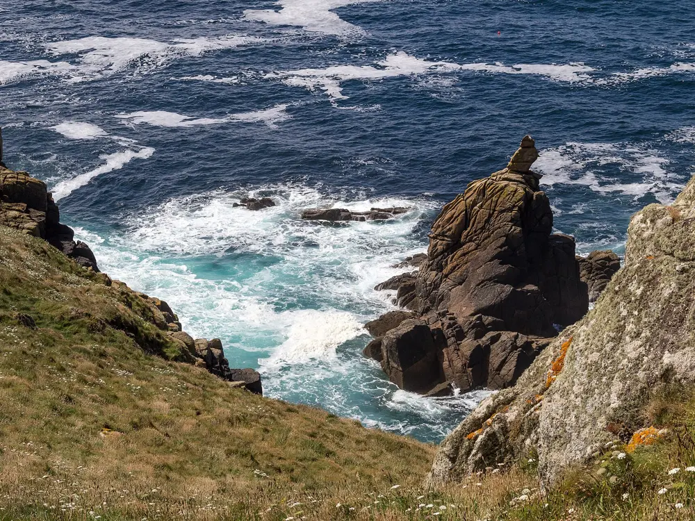
This National Trail follows the coast of Somerset, Devon, Cornwall and Dorset, and its climbing adds up to nearly four times the height of Everest. It passes two World Heritage Sites, the Cornwall and West Devon Mining Landscape and the Jurassic Coast, and reaches its highest point on Great Hangman, England's highest sea cliff, near Combe Martin.

The route

From Minehead the path crosses Exmoor and north Devon, then rounds Hartland into Cornwall. Padstow to St Ives, about 106 km (66 miles) of Cornwall's Atlantic coast, is the classic north coast week. The trail then turns Land's End and the Lizard, works along the south Cornish and Devon coves, and ends on the Jurassic Coast, where Seaton to South Haven Point is about 148 km (92 miles) past Lulworth Cove, Durdle Door and Old Harry Rocks. The Association's itinerary splits the path into eight sections of about a week each, so it can be walked a week at a time.

When to go

The Association names April to June and September to October as the best months. Several ferries run only from about April to October. Storms in January and February 2026 caused landslips and cliff falls, and diversions were still in place in 2026 at places including Tintagel, Newquay, Branscombe to Beer and Portland.

Getting there

For Minehead, take the train to Taunton, then a bus, or a bus and the steam railway, which takes about 1 hour 15 minutes. For the Poole end, take the train to Bournemouth and two buses via the Sandbanks ferry to South Haven Point. Barnstaple, Plymouth, Penzance, St Ives, Weymouth and Swanage are among the towns on the path with stations.

Permits and booking

No permit is needed and dogs are allowed on the whole path. There is no right to wild camp: camping without the landowner's consent is trespass. The Lulworth Ranges are open most weekends and in holiday periods, and when they are closed there is no simple diversion, only a 21 km (13 mile) road detour or a bus to Corfe Castle.

How hard it is

The challenge is the constant climbing, as the path follows the cliff tops and drops again and again to coves and river mouths. Of 21 river crossings, 20 have a ferry or water taxi, and the River Erme has to be waded about an hour either side of low tide.

Where to sleep

The towns on the path have plenty of places to stay, and the Association's accommodation finder and the National Trail's interactive map list them, campsites included. Use official campsites rather than pitching on the cliffs.

Tips

  • Check the Association's route changes page before each section, since landslips close stretches with little warning.
  • Confirm ferry times with the operator the day before; Shaldon to Teignmouth and Starcross to Exmouth take cash only.
07 / 10

Slieve Donard

Mourne Mountains, County Down, Northern Ireland

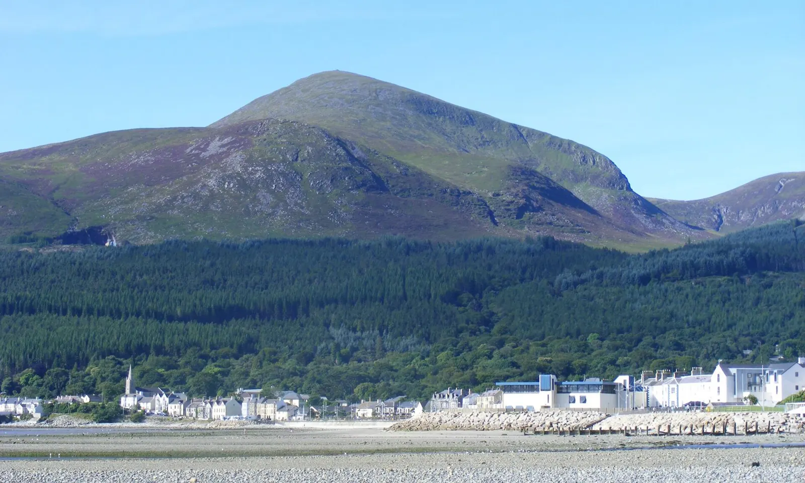
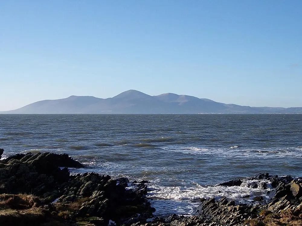
Slieve Donard rising behind Newcastle, seen from the beach

Photos: Anderson-Ivor (CC BY-SA 4.0), Colin Park (CC BY-SA 2.0), Rossographer (CC BY-SA 4.0), Wikimedia Commons (CC BY-SA 3.0)

Distance
4.7 km (2.9 miles) each way
Time
4 to 5 hours return
Elevation gain
About 837 m
Highest point
850 m

Why go

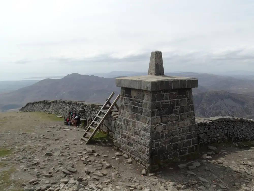
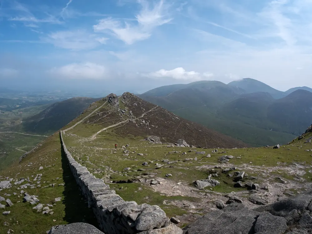
Slieve Donard is the highest mountain in Northern Ireland, and it rises almost straight out of the seaside town of Newcastle. The Mourne Wall, built between 1904 and 1922 across fifteen mountains, runs up to a stone tower on the summit, beside the Great Cairn, a Neolithic passage tomb. On a clear day the view reaches the Isle of Man, Wicklow, Donegal, Wales and Scotland.

The route

From Donard car park in Newcastle, follow the Glen River uphill through old woodland of Scots pine, oak and birch, crossing three bridges. Beyond the third bridge a rough track runs above the river for about 2 km towards the saddle between Slieve Donard and Slieve Commedagh. The path crosses the river and climbs to the Saddle, where it meets the Mourne Wall. Turn left and follow the wall steeply to the summit, then return the same way, staying close to the wall down to the Saddle.

When to go

The walk is free to access and has no fixed season, but pick a clear day for the view and check the mountain forecast first. The summit is often cold and windy even when Newcastle is mild, so carry gloves and a warm layer.

Getting there

Donard Park is at the south end of Newcastle's main street; follow the one way system to reach it. The car park has about 333 spaces. Translink buses run frequently from Belfast to Newcastle, taking around an hour, and the walk starts a short distance from the town centre.

Permits and booking

No permit is needed and the route is free to walk. The official walk page says parking charges may apply at Donard car park. Dogs must be kept on leads. There is no general right to wild camp in Northern Ireland, so camping needs the landowner's permission.

How hard it is

WalkNI grades the route very strenuous. The forest climb is steep, the valley section is gentler, and then the path climbs steeply to the Saddle and again beside the wall to the summit. The steep upper sections have stone paving and steps, which are easy to follow but slippery in places. Along the forest section the riverbank overhangs, so take care, and keep well away from the Eagle Rocks cliffs on the north side of the mountain.

Where to sleep

Newcastle has plenty of places to stay and eat, and the walk starts from the edge of town. Donard Park itself has a YMCA centre with camping.

Tips

  • Toilets are in Donard Park, so use them before you set off.
  • Bring food and water for the whole day, since refreshments are only in Newcastle.
08 / 10

Hadrian's Wall Path

Wallsend to Bowness-on-Solway, northern England

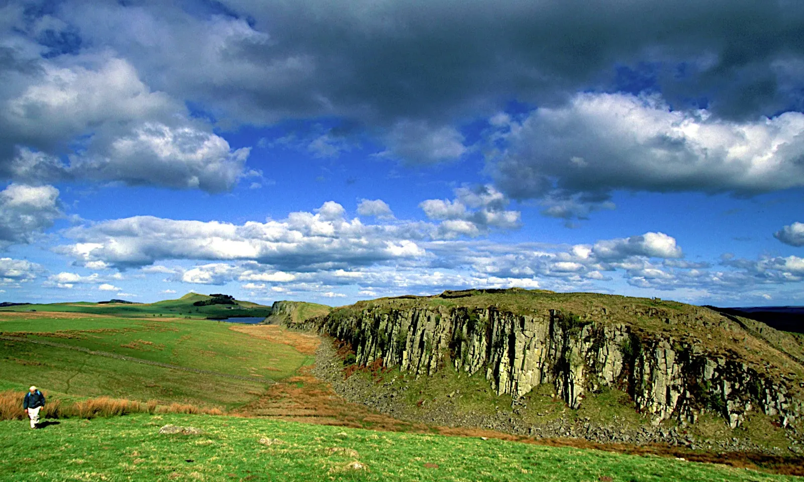
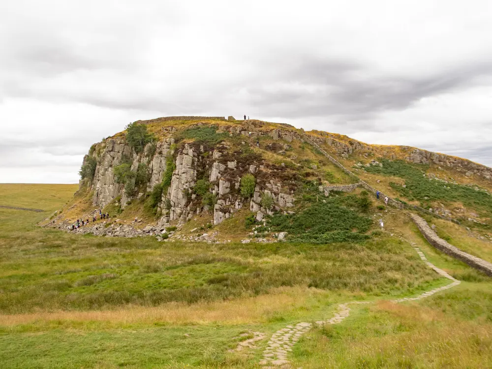
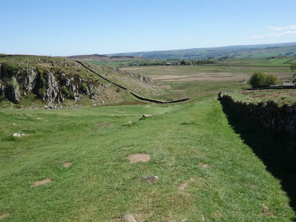
Hadrian's Wall running along the crags at Steel Rigg

Photos: Jan Hazevoet (CC BY 3.0), Jim Osley (CC BY-SA 2.0), Anthony Parkes (CC BY-SA 2.0), Peter Jeffery (CC BY-SA 2.0)

Distance
135 km (84 miles) one way
Time
6 or 7 days
Highest point
345 m at Whinshields Crags
Best season
Easter to the end of October

Why go

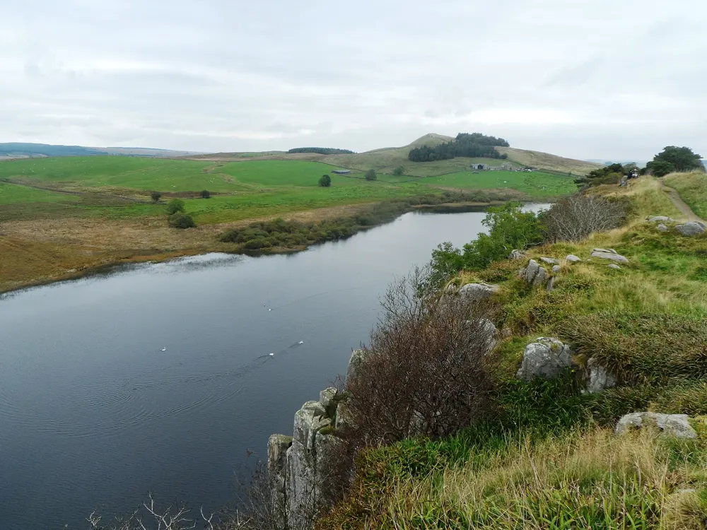
This National Trail, opened in 2003, crosses England from coast to coast along the line of Hadrian's Wall, part of the Frontiers of the Roman Empire World Heritage Site. In the middle the wall rides the crags of the Whin Sill, and Roman forts stand along the way.

The route

From Segedunum fort in Wallsend the trail follows the Tyne through Newcastle, then crosses farmland to Heddon-on-the-Wall and Chollerford. The 37 km (23 miles) from Chollerford to Birdoswald is the hardest and finest part, with many short climbs along the Whin Sill and past Housesteads fort and Sycamore Gap, where the famous tree was felled in September 2023 and is regrowing from the stump. West of Birdoswald fort the path drops to Carlisle and follows the Solway salt marshes to Bowness-on-Solway. East to west is the direction the wall was built, but the National Trail suggests west to east for better weather.

When to go

The trail is open all year, but for conservation reasons walkers are asked to come between Easter and October, when the ground is normally dry and the passport stamping season runs. May to October is the advised window, and July and August are the busiest months. In wet weather the path turns muddy, and in December the sun sets around 4 p.m.

Getting there

Wallsend is a 10 minute Metro ride from Newcastle station. The seasonal AD122 Hadrian's Wall Country Bus links Hexham, Haltwhistle and the central forts, and trains run between Newcastle and Carlisle, though most stations are some way from the wall. Bowness-on-Solway has no car park; the 93 bus from Carlisle calls a few times on weekdays.

Permits and booking

No permit or fee is needed to walk the trail. The World Heritage Site's code, Every Footstep Counts, asks you not to walk on the wall itself, to keep to signposted paths and to walk side by side on grass rather than in single file, since buried archaeology lies under and beside the path. There is normally no right to wild camp, so ask the landowner first. A landslide closure order covers a stretch at Beaumont, near Carlisle, until August 2027, so follow the signs there.

How hard it is

Most of the route is moderate and anyone reasonably fit can walk it. The central crags bring frequent short climbs and descents, and some Solway sections can flood at high tide, so check tide times.

Where to sleep

Campsites, hostels, bunkhouses, B&Bs, guesthouses and hotels are spread along the way, though few sit right on the wall and there are no campsites in Newcastle or Carlisle. Rooms near the trail fill quickly, so book ahead; some B&Bs will collect you from the path.

Tips

  • Buy a Walkers' Passport and collect stamps at the stations along the route; Segedunum is the first and last.
  • Allow extra days for the Roman sites on top of the walking, as the National Trail advises.
09 / 10

Pen y Fan and Corn Du

Bannau Brycheiniog National Park (Brecon Beacons), Wales

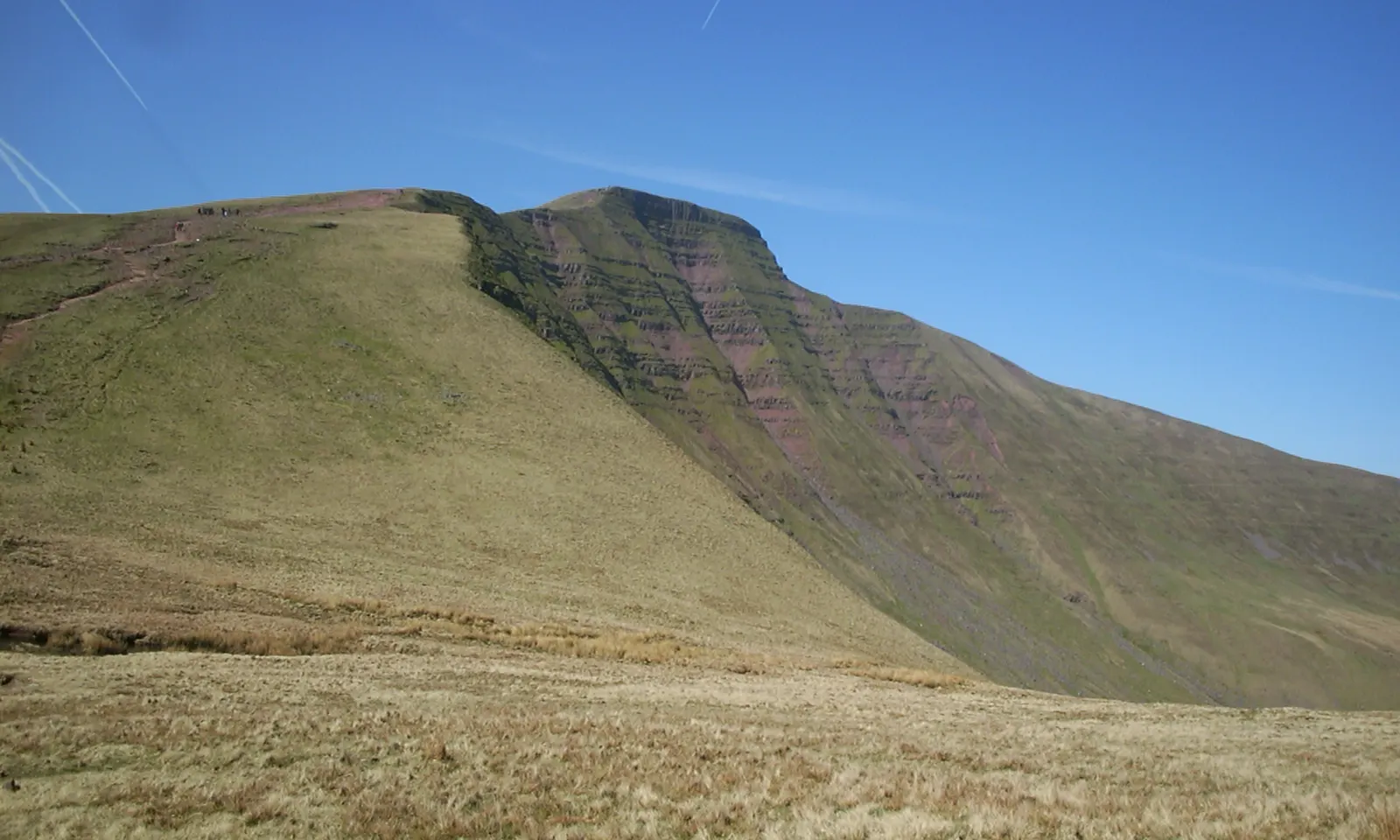
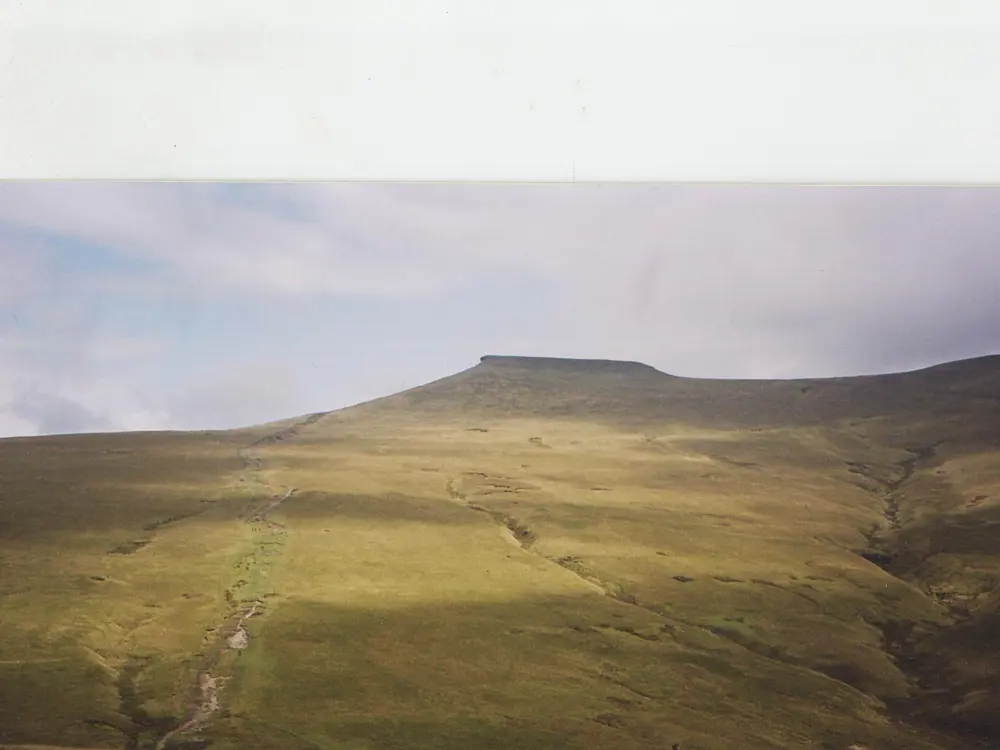
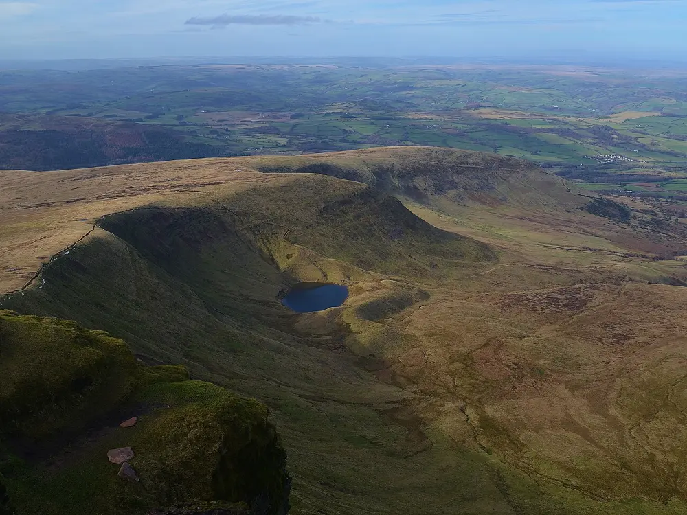
The north face of Pen y Fan under a clear sky

Photos: David Robinson (CC BY-SA 2.0), Peter S (CC BY-SA 2.0), NoelyNoelyNoel (CC BY-SA 4.0), Barry Marsh from London, England (Public domain)

Distance
6.4 km (4 miles) loop
Time
About 3 hours 30 minutes
Elevation gain
About 460 m
Highest point
886 m

Why go

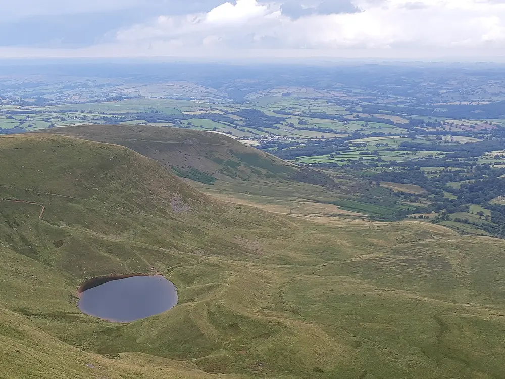
Pen y Fan is the highest mountain in southern Britain, and Corn Du is its twin summit just to the west. Both tops carry Bronze Age cairns, and the National Trust, which owns the mountain, repairs the paths against the wear of hundreds of thousands of walkers a year. On a clear day you can see the Bristol Channel and the Gower.

The route

This is the National Trust's circular walk from Pont ar Daf. Leave from the southern end of the car park, cross the footbridge and climb to Bwlch Duwynt, the Windy Pass. Take the path at about 11 o'clock across Corn Du's southern slope to the saddle, then make the last push to Pen y Fan. Return to the saddle and climb the pitched path to Corn Du (873 m). Leave its northern end down a steep section towards the obelisk for Tommy Jones, a five-year-old found here in 1900, then cross the stream Blaen Taf Fawr, go over Y Gyrn and drop to the Storey Arms, where a track leads back to the car park.

When to go

The paths get very busy at peak times, and the car parks can fill all year. The weather changes quickly, so check the mountain forecast. The path from Storey Arms back to Pont ar Daf was closed for forestry work in winter 2025 to 2026, so check the National Trust page for new closures.

Getting there

Pont ar Daf car park, with toilets, is on the A470 about 8 miles south of Brecon. Parking is £7.50 per car, charged 24 hours a day; National Trust members and Blue Badge holders park free. The T4 bus between Merthyr Tydfil and Newtown stops for Pen y Fan.

Permits and booking

No permit or booking is needed to walk on Pen y Fan. The only charge is for parking.

How hard it is

The National Trust calls the walk strenuous, with steep steps near the summit on well-made paths. The edge at the top falls away sharply, so keep children close. Dogs must be under close control and on short leads near sheep.

Where to sleep

YHA Brecon Beacons is a farmhouse hostel at Libanus with views towards Pen y Fan, and Brecon has more choice. Wild camping is illegal in the national park without the landowner's permission.

Tips

  • There are no toilets on the routes or at the summit, so use the ones at Pont ar Daf and carry water and food.
  • To skip the steep drop off Corn Du's north end, take the left-hand path at the saddle straight back to Bwlch Duwynt and the car park.
10 / 10

Kinder Scout and Jacob's Ladder

Peak District National Park, Derbyshire, England

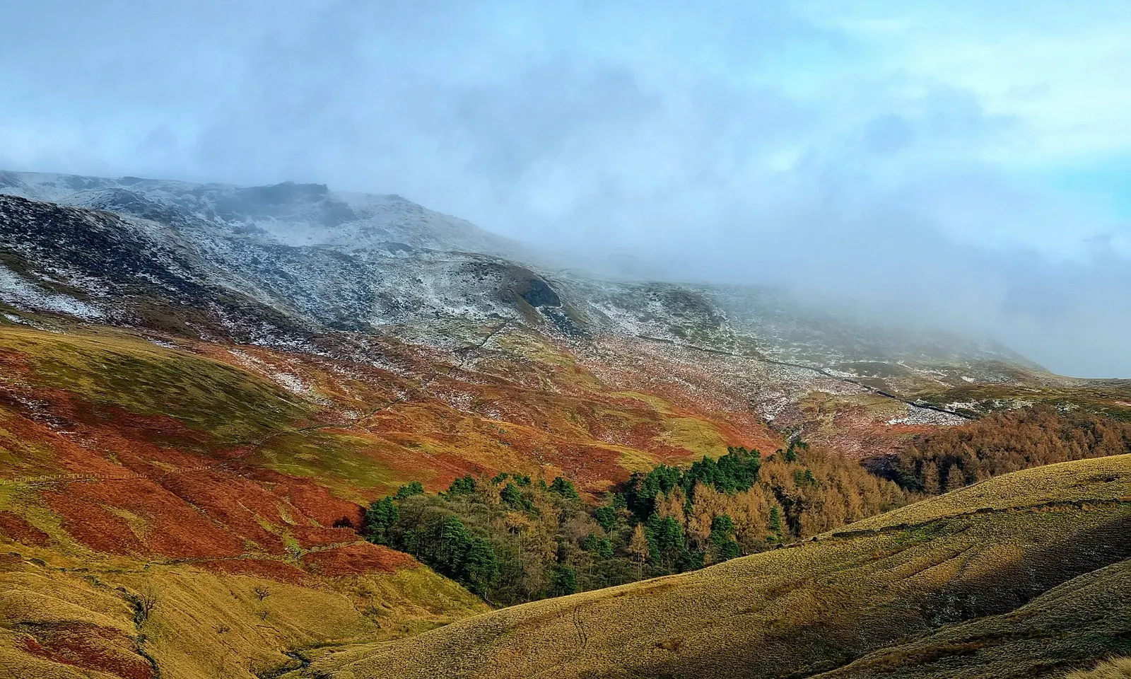
Kinder Scout in autumn colour above the valley

Photos: Embers1984 (CC BY-SA 4.0), Anthony Parkes (CC BY-SA 2.0), Stephen Burton (CC BY-SA 2.0), Anthony Parkes (CC BY-SA 2.0)

Distance
13 km (8.1 miles) loop
Time
About 4.5 hours
Elevation gain
About 550 m
Highest point
About 617 m on the route (plateau summit 636 m)

Why go

Kinder Scout is a high gritstone plateau and, at 636 m, the highest point in the Peak District. On 24 April 1932 about 400 ramblers walked onto it in the mass trespass, a protest against closed moorland that helped lead, in time, to the national parks law of 1949 and the Pennine Way.

The route

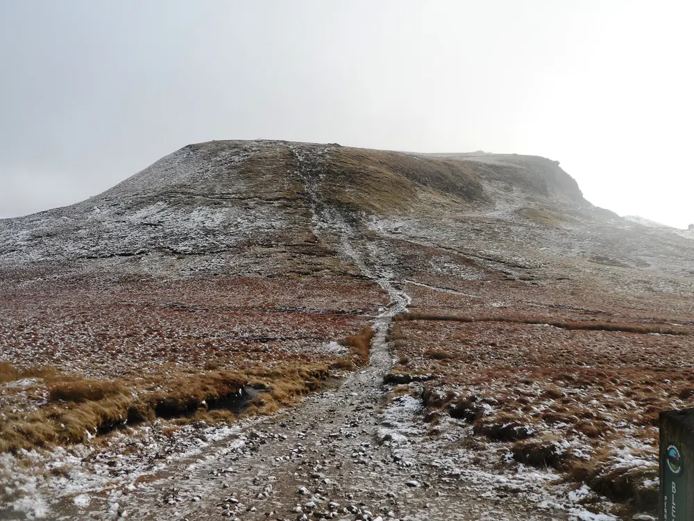
From Edale the loop follows the start of the Pennine Way west through pasture to Upper Booth and Lee Farm, then crosses a packhorse bridge on the River Noe. Jacob's Ladder climbs steeply from here on a stone staircase named after Jacob Marshall, an 18th century farmer who cut the first steps. Above it you pass the medieval Edale Cross, then follow the southern rim of the plateau past Noe Stool and the weathered boulders of the Woolpacks to Crowden Tower. The finish crosses Grindslow Knoll and drops steeply back to Edale.

When to go

The walk works all year, but the plateau is a raised blanket bog, so avoid it after long spells of rain. In cloud the top has few landmarks and it is easy to get lost.

Getting there

Edale station is on the Hope Valley line between Manchester Piccadilly and Sheffield, usually with one train an hour each way off-peak. There are pay and display car parks in the village and at the station, and they fill early on sunny weekends.

Permits and booking

No permit is needed. Parts of the plateau away from rights of way are occasionally closed for conservation, shooting or fire risk, with notice usually posted by the National Park Authority. Wild camping needs the landowner's permission first, or it is trespass. Dogs must be on short leads on access land from 1 March to 31 July.

How hard it is

Moderate to hard. Jacob's Ladder is a long, steep slog, and the descent from Grindslow Knoll has loose rock underfoot. Between them the Woolpacks are boggy and partly pathless, so carry a map and compass.

Where to sleep

Edale has a youth hostel about a mile from the centre, B&Bs, two pubs with rooms, and campsites including Fieldhead beside the village.

Tips

  • If the weather turns at the cairn above Jacob's Ladder, go back down the way you came rather than out onto the plateau.
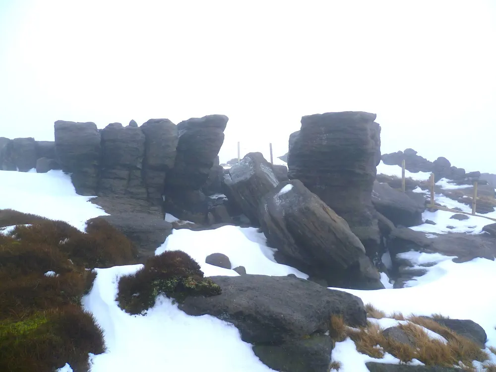
  • Among the Woolpacks the path can vanish, and a bearing of 75 degrees from the Pagoda keeps you on line for Crowden Tower.

Sources

Distances, heights, seasons and permit rules were checked against these pages. Rules change, so check the park or trail authority before you go.