Rungs Labs

Rungs Pilgrimage · Hikes · India

The 10 Best Treks in India

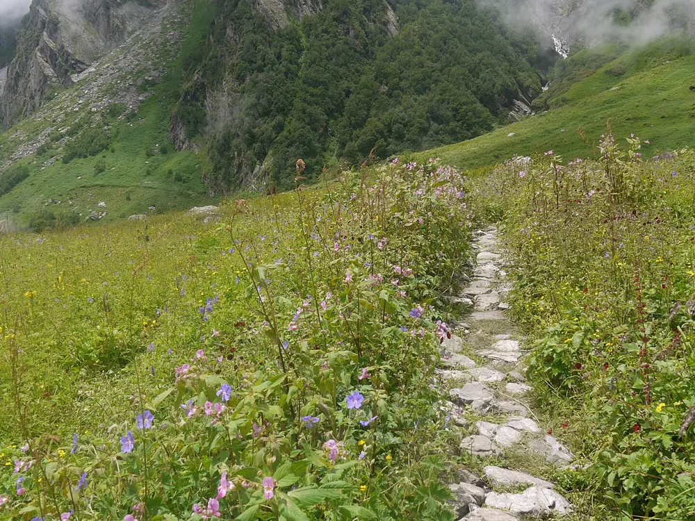
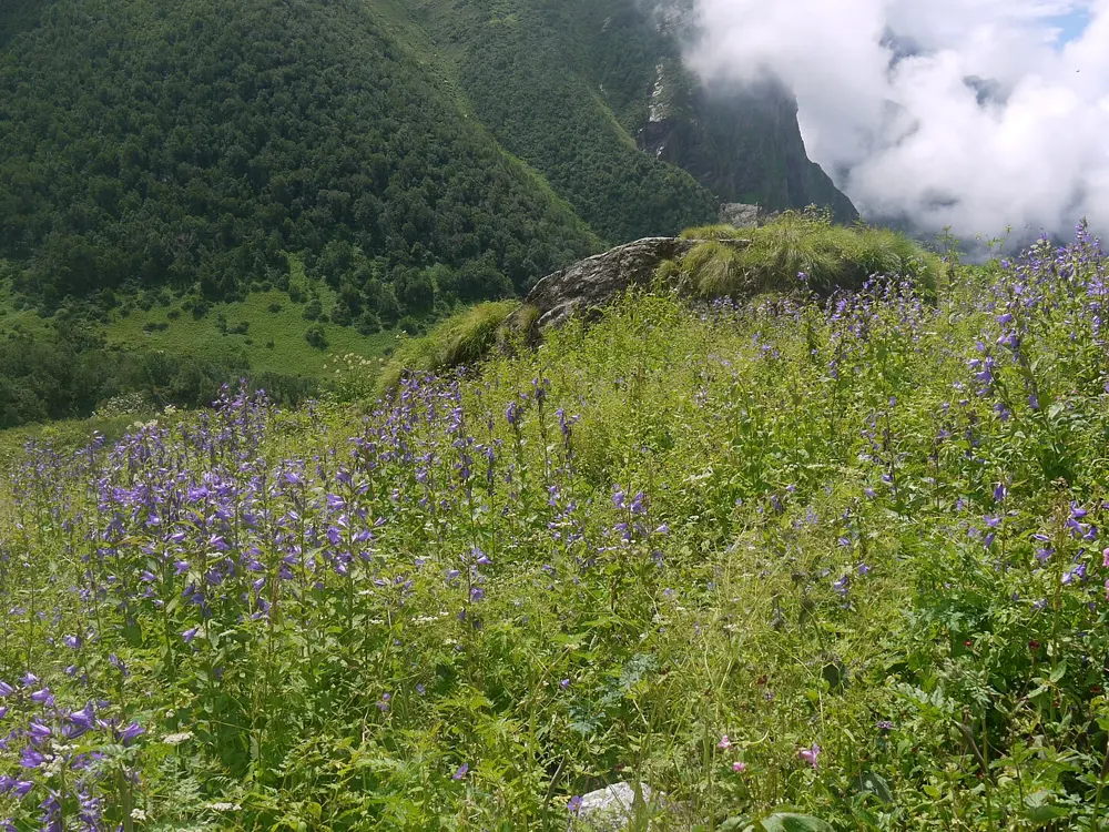
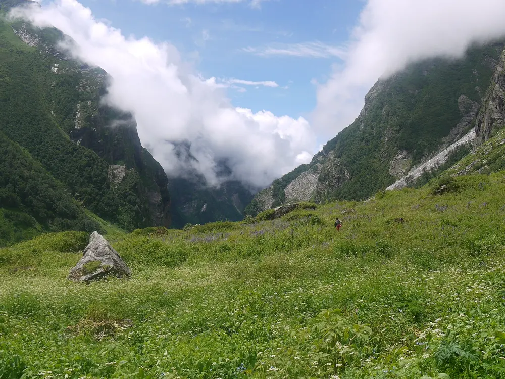
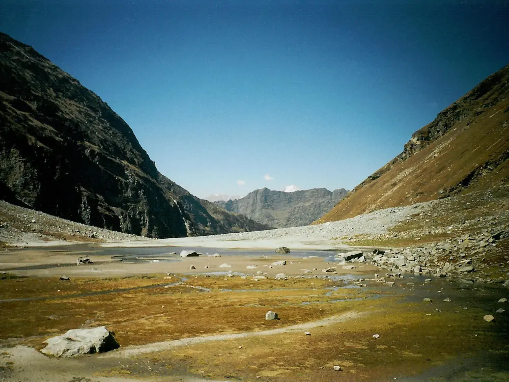
Valley of Flowers, Chamoli, Uttarakhand. Photo: Alosh Bennett (CC BY 2.0)

India holds the greater part of the Himalaya and, far to the south, the old, rain-soaked ranges of the Western Ghats. These ten treks reach across both: Ladakh, Himachal and Uttarakhand in the north, Sikkim, the Darjeeling hills and Nagaland in the east, and the Sahyadri of Maharashtra, Karnataka and Kerala in the west and south.

Most of them pass through national parks or wildlife sanctuaries, so forest permits, guides, daily caps and seasonal closures are part of the planning, and they change often. For each one you get the distance, the route, the best season, how to get there, the permits and where to sleep. Every fact comes from the park, the state, the trail's operators or recent reporting, linked at the bottom of the page.

Updated 2026-10-18

  1. 01Valley of FlowersChamoli, Uttarakhand
  2. 02Goecha LaKhangchendzonga National Park, Gyalshing (West Sikkim), Sikkim
  3. 03Markha ValleyHemis National Park, Leh, Ladakh
  4. 04Hampta PassKullu and Lahaul, Himachal Pradesh
  5. 05Sandakphu and PhalutSingalila National Park, Darjeeling, West Bengal
  6. 06KedarkanthaGovind Wildlife Sanctuary, Uttarkashi, Uttarakhand
  7. 07Dzükou ValleyKohima, Nagaland, on the border with Manipur
  8. 08HarishchandragadKalsubai Harishchandragad Wildlife Sanctuary, Ahilyanagar (Ahmednagar) district, Maharashtra
  9. 09Kudremukh PeakKudremukh National Park, Chikkamagaluru, Karnataka
  10. 10Agasthyarkoodam (Agasthyamala)Neyyar Wildlife Sanctuary, Thiruvananthapuram, Kerala
01 / 10

Valley of Flowers

Chamoli, Uttarakhand
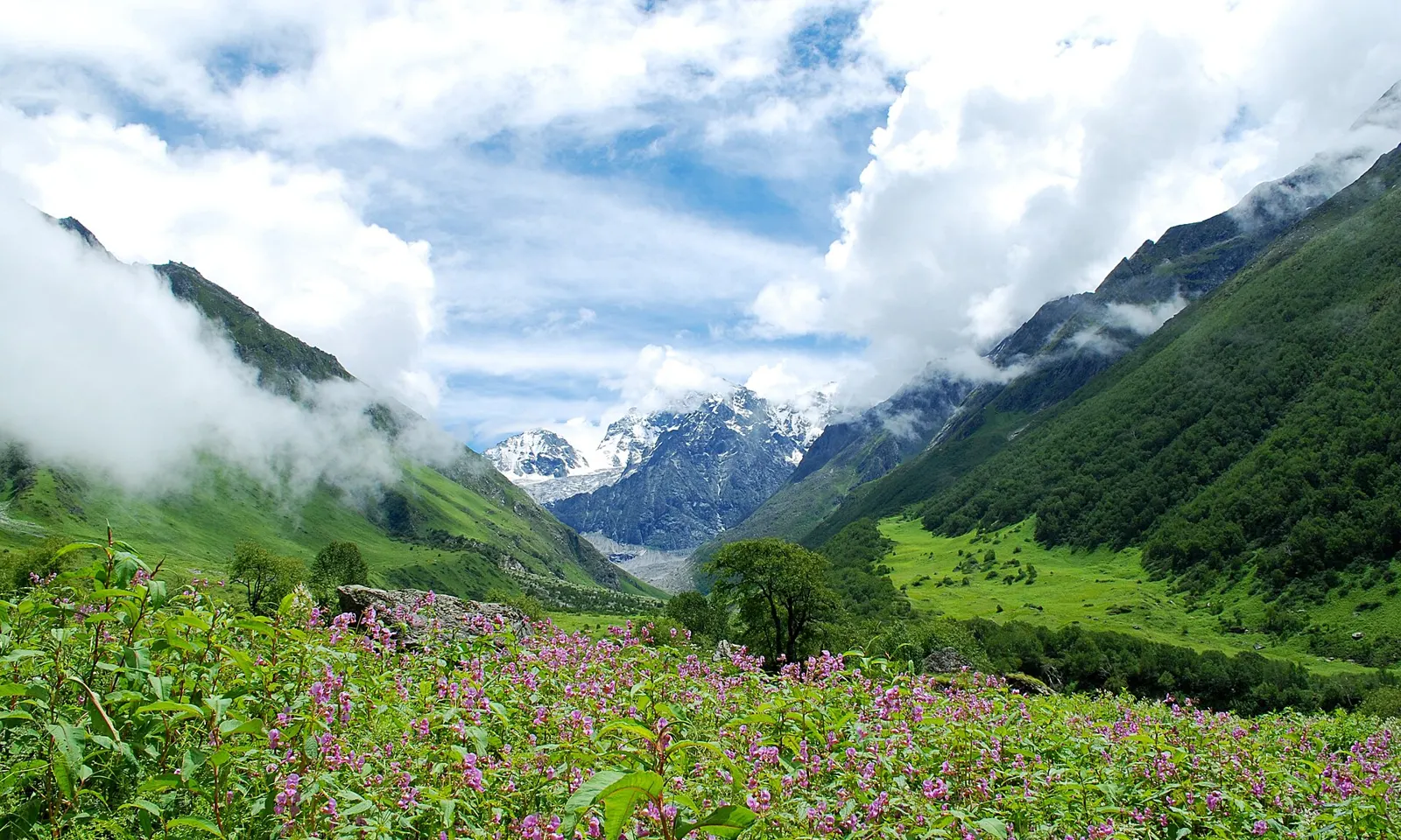
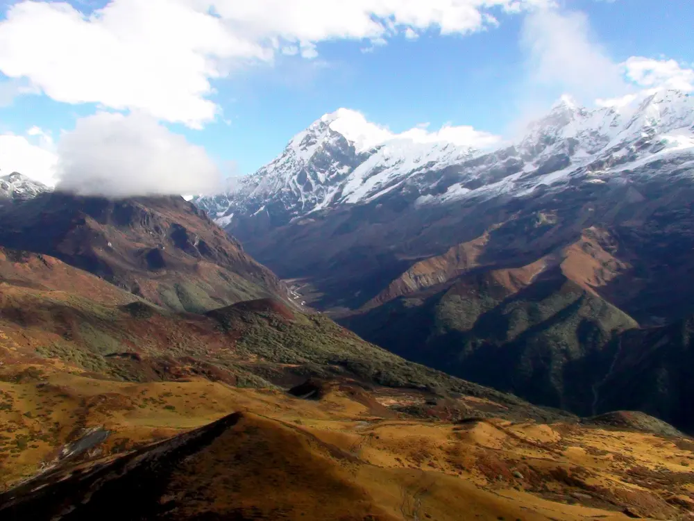
Pink wildflowers in the Valley of Flowers below snow peaks and cloud

Photos: Alosh Bennett (CC BY 2.0), Dinesh Valke from Thane, India (CC BY-SA 2.0), Dinesh Valke from Thane, India (CC BY-SA 2.0), Dinesh Valke from Thane, India (CC BY-SA 2.0)

Distance
About 17 km each way from Govindghat to the valley, the first 4 km by shared taxi
Time
4 trekking days from Pulna, including a day for Hemkund Sahib
Highest point
3,658 m in the valley; about 4,570 m (15,000 ft) at Hemkund Sahib
Season
1 June to 31 October (2026); flowers peak mid July to mid August

Why go

The Valley of Flowers is a high glacial valley of the Pushpawati river, between 3,352 m and 3,658 m, and part of a UNESCO World Heritage Site with Nanda Devi National Park. Frank Smythe found it by chance in 1931 returning from Kamet, and botanists have since recorded more than 500 plant species, blue poppies and Brahma Kamal among them.

The route

The walk starts at Govindghat, on the Badrinath road. Shared taxis cover the first 4 km to Pulna, and from there a paved mule path climbs about 9 km to Ghangaria, at about 3,050 m, in 5 to 6 hours. Ghangaria is the base for everything that follows, because nobody may stay overnight inside the park. Next morning you show your permit at the forest gate and walk 3 to 4 km up into the meadows. Entry is between 7 am and 2 pm and everyone must be out by 5 pm. On a third day you can climb to Hemkund Sahib, the Sikh shrine and lake at about 4,570 m: 6 km on a stone path with 1,100 m of ascent, shared with pilgrims. The last day returns to Pulna on the same path.

When to go

In 2026 the park opened on 1 June and stays open until 31 October. June is quieter, mid July to mid August is the height of the flowering, and September brings clearer skies as the flowers fade. Hemkund Sahib keeps a shorter season; it opens in May and in 2026 closed on 10 October.

Getting there

Govindghat is about 275 km from Rishikesh by mountain road through Joshimath, and about 24 km short of Badrinath. Ponies and a short helicopter hop to Ghangaria are available for those who do not want to walk the first stage.

Permits and booking

The park charges Rs 200 for Indians and Rs 800 for foreign visitors, and the permit is valid for three days. You buy it online in advance or at the Forest Department counter in Ghangaria. Camping and overnight stays inside the park are not allowed, and drones and single-use plastic are banned.

How hard it is

Moderate. The path is well made, but the climb to Ghangaria and the day to Hemkund Sahib are long and the altitude is felt; the valley itself is a gentle walk.

Where to sleep

Ghangaria has guesthouses, homestays and a GMVN tourist bungalow with rooms and dormitories. The village is open only from May to November, so book ahead for the flowering season.

Tips

  • Spend at least two nights in Ghangaria: one day for the valley and one for Hemkund Sahib.
  • Carry rain gear in July and August; heavy rain closed the valley for a day in July 2026.
02 / 10

Goecha La

Khangchendzonga National Park, Gyalshing (West Sikkim), Sikkim

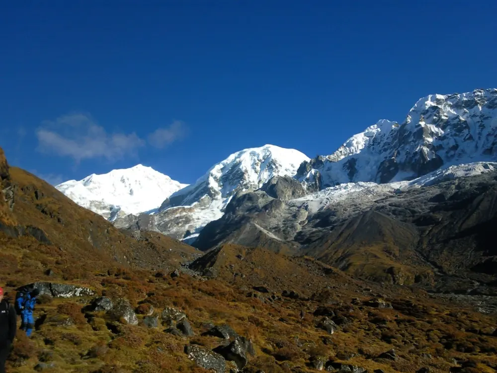
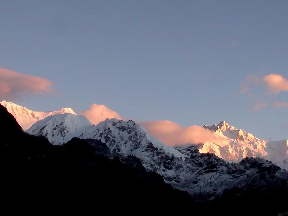
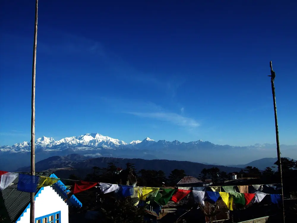
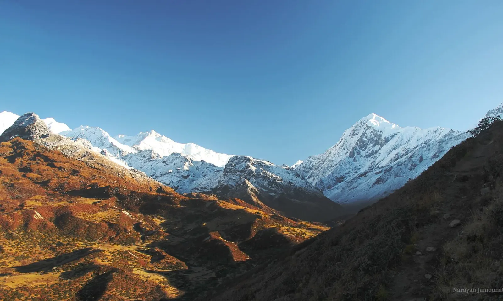
The Kangchenjunga massif above autumn slopes, seen from Dzongri Top

Photos: Narayan Jambunathan (CC BY 3.0), Rizimd (CC BY-SA 3.0), Anupam2015 (CC BY-SA 4.0), Anupam2015 (CC BY-SA 4.0)

Distance
About 90 km return from Yuksom
Time
8 to 10 days
Highest point
Viewpoint 1, about 4,600 m
Season
Mid-March to mid-May, mid-October to late November

Why go

This trek walks from Yuksom, the first capital of Sikkim, through the forests of Khangchendzonga National Park, a UNESCO World Heritage Site, to the foot of the southeast face of Kangchenjunga, at 8,586 m the third highest mountain in the world. From Dzongri Top, Thansing and the final viewpoint it stands in a row with Kabru, Pandim, Simvo and Talung.

The route

From Yuksom, at 1,780 m, the trail climbs through forest along the Rathong Chu, about 8 km to Sachen and another 7 or 8 km past Bakhim to Tshoka, at about 2,950 m. Day three continues through Phedang to the open meadows of Dzongri, about 9 km and roughly 1,000 m higher, and most groups spend a rest day here, walking up Dzongri Top at dawn for the view. The trail then goes via Kokchurang to Thansing, about 9 or 10 km, and a short 4 km stage leads to the last camp at Lamuney, above 4,100 m. Summit day climbs past Samiti Lake to Viewpoint 1, then returns to Kokchurang, up to 16 km. Two long days of about 15 to 16 km each lead back through Phedang and Tshoka to Yuksom.

When to go

Spring, mid-March to mid-May, brings the rhododendrons into flower. Autumn, mid-October to late November, is the other window, and October is the busiest month. Operators avoid the monsoon, June to September, and winter, from about mid-December to February.

Getting there

Yuksom is about 150 km by road from New Jalpaiguri station or Bagdogra airport, six to seven hours. It is the last place with vehicle access and a reliable phone signal.

Permits and booking

The whole route is inside Khangchendzonga National Park. Indian trekkers need a park entry permit, a trekking permit for the Dzongri and Goecha La zone and police registration at Yuksom, arranged through a licensed operator; Aadhaar is not accepted as ID. A registered guide is required. Foreigners get a Sikkim Inner Line Permit at the border, then a Protected Area Permit through a registered agency, in a group of at least two. Since 2017 trekkers may go only as far as Viewpoint 1; the pass itself, at 4,940 m, is closed.

How hard it is

Challenging. Some days are long, and the climb from Yuksom to Dzongri gains over 2,000 m in three days, so the rest day there matters.

Where to sleep

Tents at every camp, supplied by your operator. A few camps have huts with caretakers who may sell tea, but do not rely on them. Yuksom has homestays for the nights before and after.

Tips

  • Carry an Indian passport, voter ID or driving licence, plus two passport photos, for registration at Yuksom.
  • Spring weather turns fast: one group in late April 2026 was stopped at Samiti Lake by a whiteout and snow, so keep a spare day.
03 / 10

Markha Valley

Hemis National Park, Leh, Ladakh

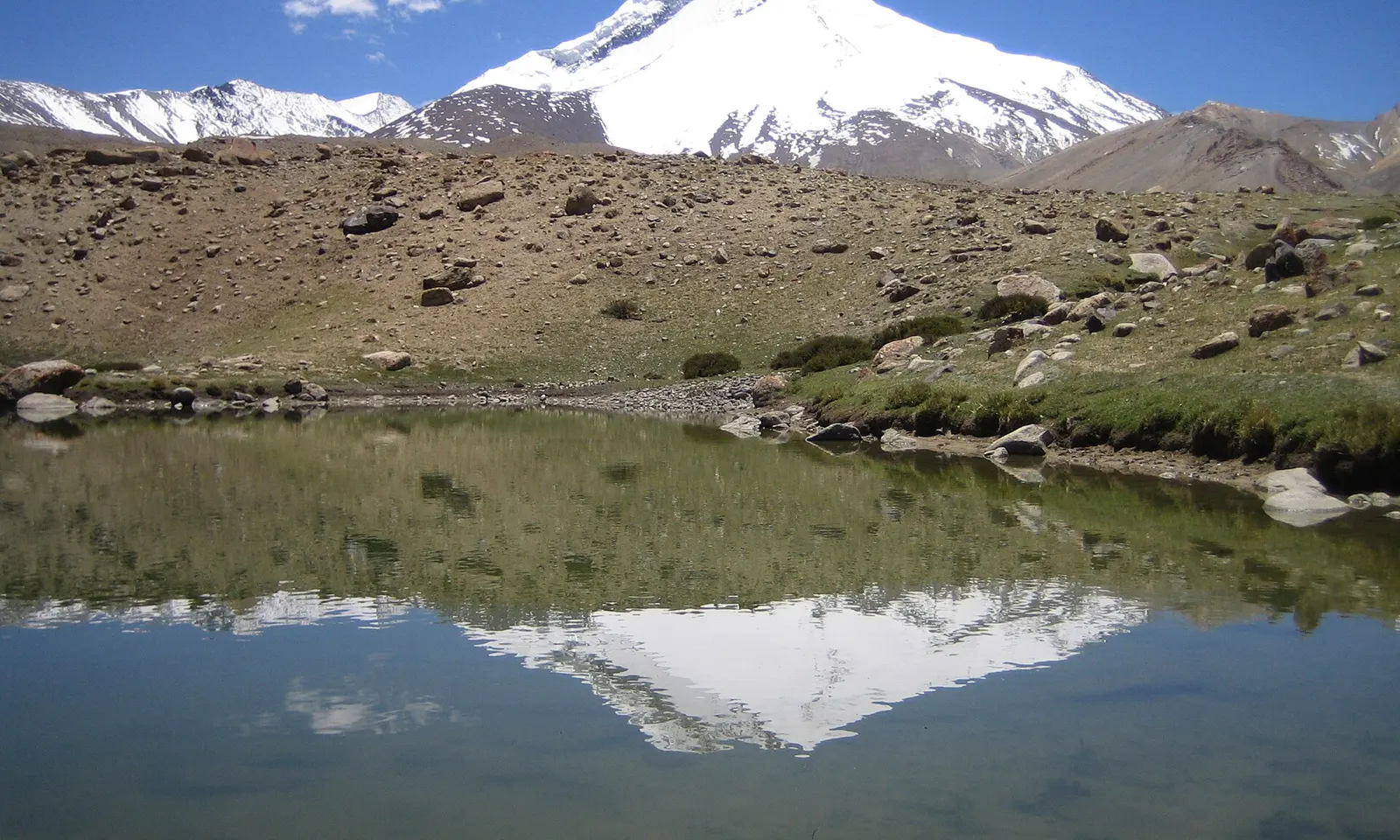
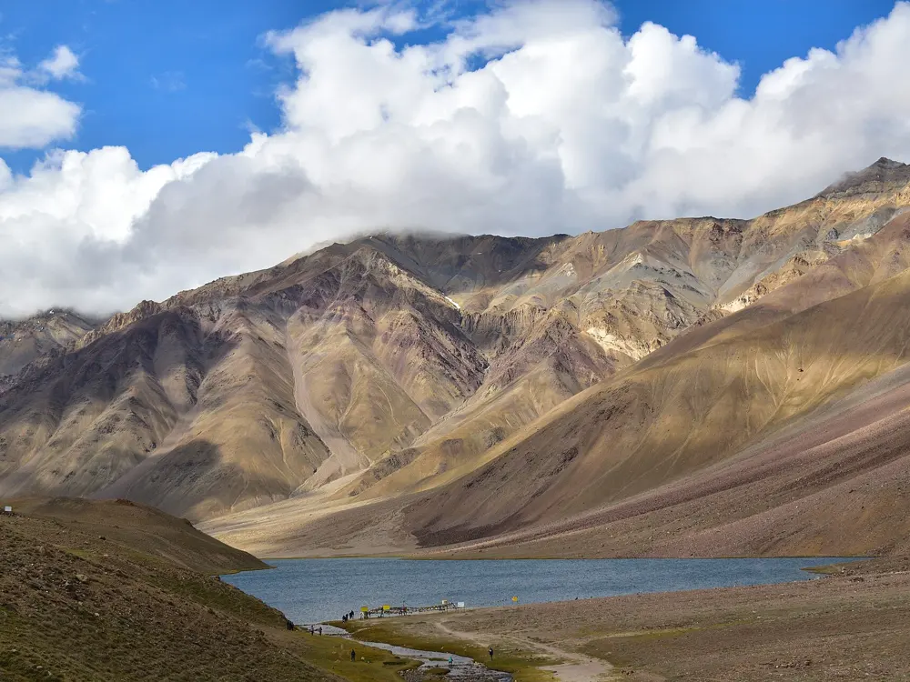
Kang Yatse reflected in a small lake near Nimaling

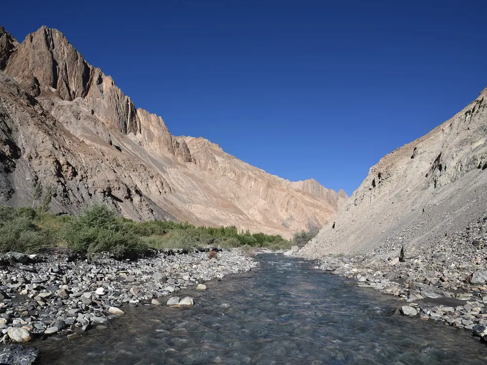
Photos: SlartibErtfass der bertige (CC BY-SA 3.0), Chris Hunkeler from Carlsbad, California, USA (CC BY-SA 2.0), SlartibErtfass der bertige (CC BY-SA 3.0), Chris Hunkeler from Carlsbad, California, USA (CC BY-SA 2.0)

Distance
About 67 km, Chilling to Shang Sumdo
Time
5 to 7 days
Highest point
Kongmaru La, 5,260 m
Season
Mid-June to mid-October

Why go

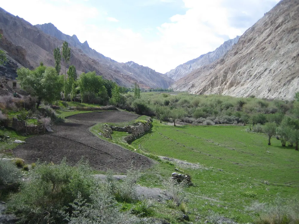
The Markha river runs through Hemis National Park, the largest national park in India and the only one north of the Himalaya. This trek follows it up from village to village, sleeping in family homes, then climbs out over a pass above 5,000 m. The park is dry, in the rain shadow of the main range, and holds one of the densest snow leopard populations of any protected area.

The route

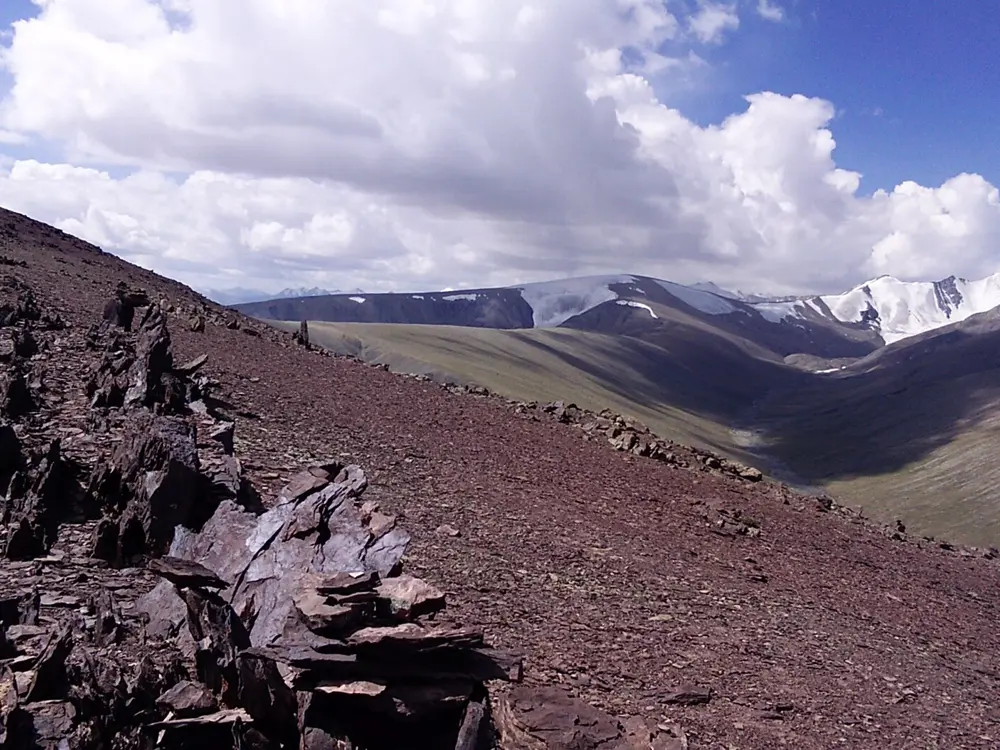
Most people start at Chilling, a drive from Leh, and walk about 7 km to Skiu. Day two is the long one: about 21 km up the valley floor to Markha village. From Markha it is about 11 km to Hankar, fording the river several times. Above Hankar the valley opens out, and an 836 m climb over about 11 km reaches the summer pastures of Nimaling, the highest night at about 4,840 m, below the 6,496 m peak of Kang Yatse. Cross Kongmaru La at 5,260 m, then drop about 1,350 m, steep and loose, to Chogdo and the road head at Shang Sumdo, about 17 km from Nimaling in all. Starting from Spituk over Ganda La makes it 9 to 10 days.

When to go

The park's trekking routes are open from mid-June to mid-October. Snow on Kongmaru La usually melts in June, July and August are busiest, and by September nights at Nimaling can reach freezing. Homestays are reliably open from about July to mid-September.

Getting there

Fly to Leh and drive about two hours to Chilling. Shang Sumdo is about two hours from Leh by road. Beyond the park check posts at Skiu, Zingchen and Shang Sumdo, tourists must walk.

Permits and booking

Visitors to Leh pay the environmental fee, Rs 400 per person, together with a Red Cross contribution and a wildlife fee, online at lahdclehpermit.in, which has separate registration for Indian and overseas visitors. The wildlife fee is checked at the park entry posts, and Leh agencies usually include it in their price.

How hard it is

Moderate, with a hard last day. The trail is mostly steady, but you sleep at about 4,000 m at Hankar and 4,840 m at Nimaling before the pass, so altitude is the real test. River crossings can be knee deep in summer.

Where to sleep

Homestays in Skiu, Sara, Markha, Hankar and Chogdo give you a bed, blankets and meals in a family house. There is no running water, so bring a sleeping bag. Nimaling has a fixed camp of tents with mattresses.

Tips

  • Leh's health advisory asks every visitor to spend at least 48 hours in Leh before going higher; local operators suggest three days before this trek.
  • Pay the environmental fee only on the official portal or through a registered agency: the Leh administration has warned about fake fee slips.
04 / 10

Hampta Pass

Kullu and Lahaul, Himachal Pradesh

Jagged snow peaks seen from the Hampta Pass trail

Photos: Kunalsvnit (CC BY-SA 4.0), mkasiak (CC BY 3.0), mkasiak (CC BY 3.0), Adarsh Patel (CC BY-SA 4.0)

Distance
About 26 km
Time
4 to 5 days
Highest point
Hampta Pass, about 4,270 m (14,100 ft)
Season
Mid June to September

Why go

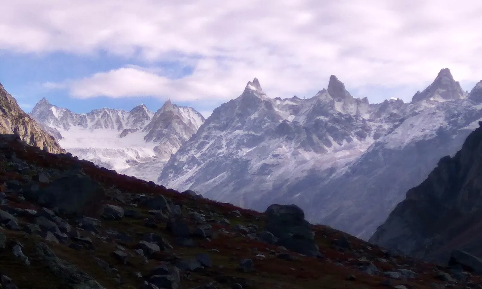
Hampta Pass is a shepherds' crossing between the green Kullu valley and the bare high desert of Lahaul, and few short treks change landscape so completely in one day. The way up runs through pine woods and meadows under 6,000 m peaks such as Deo Tibba and Indrasan, and many walkers finish with a drive to the crescent lake of Chandratal.

The route

Most walkers drive about 27 km from Manali to the trailhead at Jobra, at roughly 3,000 m, and walk 2 to 3 km to the meadow camp at Chika. The second day is about 8.5 km up the valley, with cold stream crossings, to Balu Ka Ghera, a stony camp beneath the pass. The third day is the long one: about 7 km and up to 9 hours, over snow or scree to Hampta Pass at about 4,270 m, then steeply down the Lahaul side to camp at Shea Goru. On the fourth day a 7 km walk down the valley brings you to Chatru on the Chandra river, where vehicles wait. Chandratal is an optional extra day, about 48 km away on a rough road, before the drive back to Manali.

When to go

The pass is crossed from mid June to September. June and early July bring snow near the top and deep, cold river crossings; July and August are monsoon months, with landslides and washed out trails. September usually has the clearest weather.

Getting there

Manali is the base; the nearest airport is Bhuntar, about 50 km away, and taxis run from Manali to Jobra. The Chandratal road is open from late May to early October, with the last kilometre to the lake on foot.

Permits and booking

A forest department permit is needed; operators arrange it, and independent trekkers get it from the forest office in Manali. In 2022 Kullu district made registration on Himachal's online Trekking Management System, trekking.hp.gov.in, compulsory for trekking operators, and independent trekkers are advised to register too. The forest department closes the area after floods, as it did until 30 September 2025, so check for current orders.

How hard it is

Moderate, and a reasonable first high pass for fit walkers. The hard parts are the steep climb to the pass, icy stream crossings and the rocky descent into Lahaul.

Where to sleep

Nights on the trail are in tents at Chika, Balu Ka Ghera and Shea Goru, usually supplied by the operator with sleeping bags and simple vegetarian meals. Homestays exist at Jobra and Chatru.

Tips

  • Mobile signal ends after Chika and does not return until Chatru, so leave your plan with someone at home.
  • Ask your operator to confirm the forest permit in writing; trekkers without permission have been turned back in past seasons.
05 / 10

Sandakphu and Phalut

Singalila National Park, Darjeeling, West Bengal

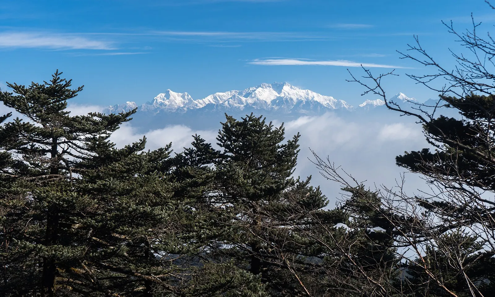
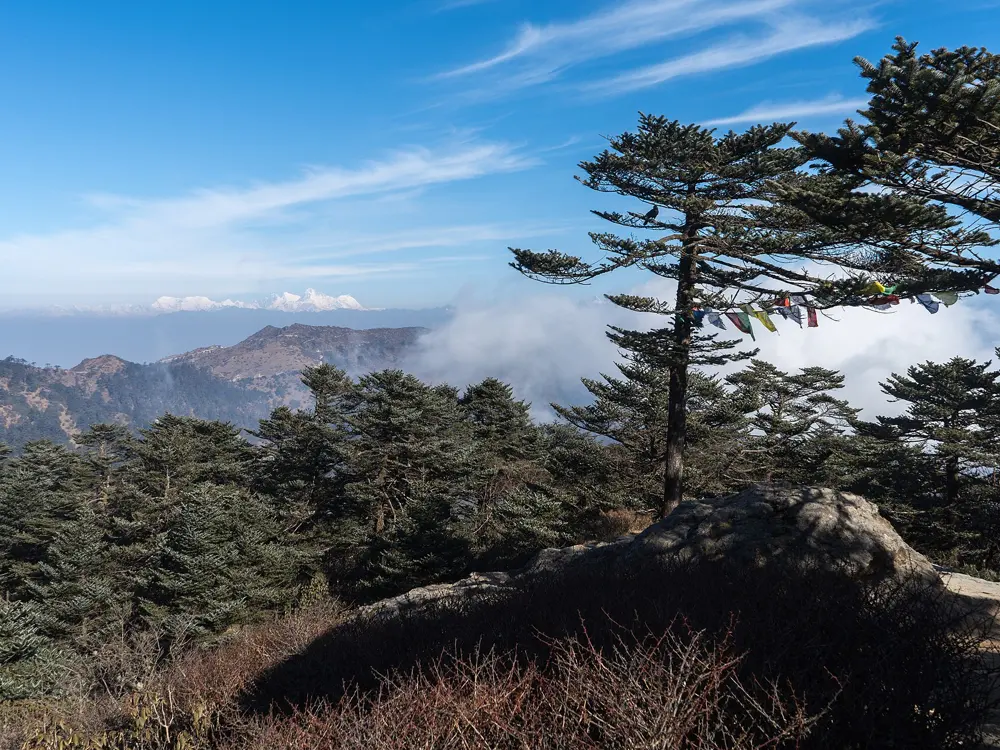
Kangchenjunga above a sea of cloud, seen through fir trees at Sandakphu

Photos: Alexkom000 (CC BY 4.0), Alexkom000 (CC BY 4.0), Rajat63ghosh (CC BY-SA 4.0), Alexkom000 (CC BY 4.0)

Distance
About 32 km to Sandakphu, then 21 km on to Phalut
Time
6 to 7 days
Highest point
Sandakphu, 3,636 m
Season
March to May and mid September to early December

Why go

At 3,636 m, Sandakphu is the highest point of West Bengal, and from its top you can see four of the five highest mountains on earth: Everest, Kangchenjunga, Lhotse and Makalu. The trail follows the Singalila Ridge along the Nepal border, through oak and rhododendron forest where red pandas still live.

The route

The walk starts at Manebhanjan, about 2,150 m, with a steep forest climb past Chitrey to Meghma. The first night is at Tonglu (3,070 m), about 11 km in, or at Tumling (2,900 m) a little further. The second day runs about 15 km to Kalipokhri, dipping to Gairibas before climbing the ridge again. From Kalipokhri it is about 6 km to Sandakphu, and the last pull from Bikeybhanjan is the steepest of the trek. The fourth day is the long one: about 21 km along the open ridge via Sabargram to Phalut, around 3,600 m, with no water on the way. From Phalut the trail descends through Gorkhey and Rammam to Rimbik, where jeeps leave for Darjeeling. A shorter version skips Phalut and drops from Sandakphu through Gurdum and Srikhola to Rimbik.

When to go

March to May brings the rhododendrons into flower, mostly in March and April. October and November give the clearest views and cold nights. The park is closed from mid June to mid September for the monsoon.

Getting there

Manebhanjan is reached by road from Darjeeling. A jeep road climbs to Sandakphu and Phalut, served by the old Land Rovers and Boleros of the Singalila Land Rover Owner's Welfare Association; since October 2021 only 15 go up each day, and motorbikes are banned.

Permits and booking

Singalila National Park charges Rs 120 per person per day for Indians and Rs 500 for foreign nationals, plus camera fees, paid at Manebhanjan or the check post after Tumling. A registered guide is mandatory inside the park, at Rs 1,000 a day for Indians and Rs 1,200 for foreigners, for up to seven people. Foreigners must carry passports.

How hard it is

Moderate. The path is clear and often the jeep road itself, but the climb to Sandakphu is steep and the dry 21 km day to Phalut is tiring at altitude.

Where to sleep

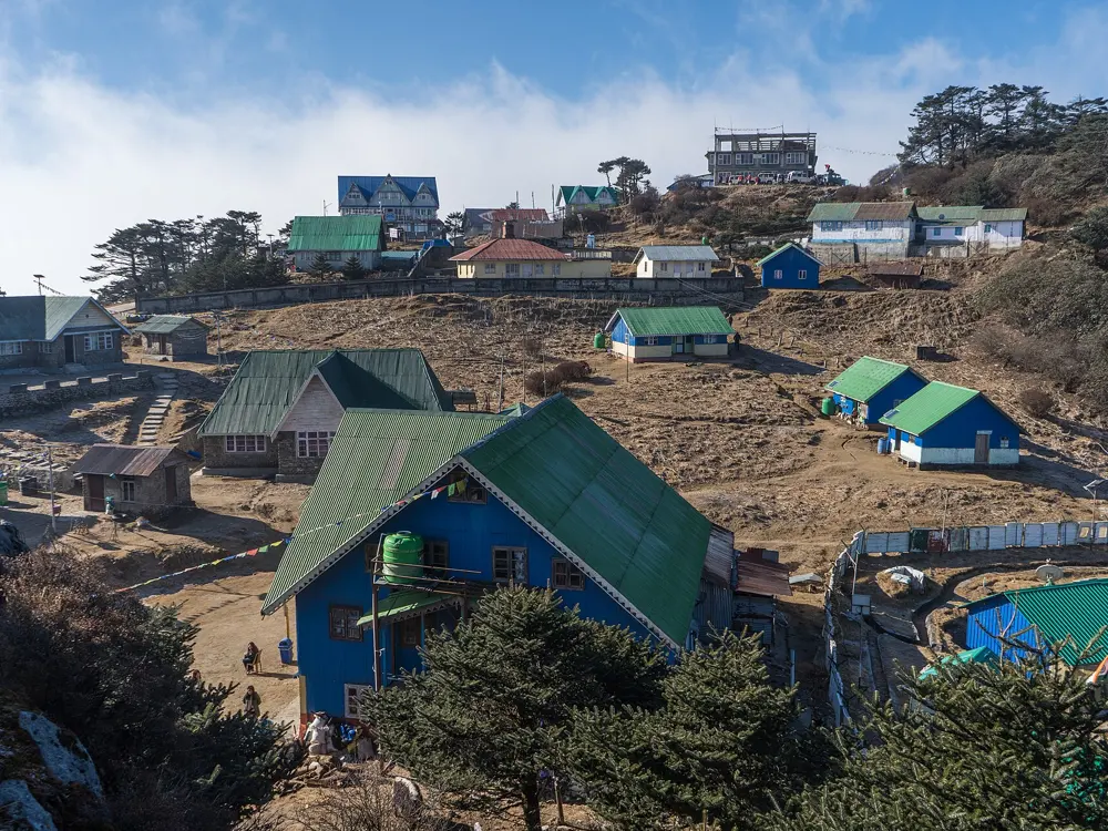
The Gorkhaland Territorial Administration runs trekkers' huts at Tonglu, Gairibas, Sandakphu and Phalut, booked in person at its Darjeeling offices. Private lodges line the route, but foreigners cannot stay in those on the Nepal side, which includes Tumling, Kalipokhri and parts of Sandakphu.

Tips

  • Carry all the water you need for the day from Sandakphu to Phalut.
  • Book the Gorkhaland huts in Darjeeling before you leave, as they cannot be booked at the trailhead.
06 / 10

Kedarkantha

Govind Wildlife Sanctuary, Uttarkashi, Uttarakhand

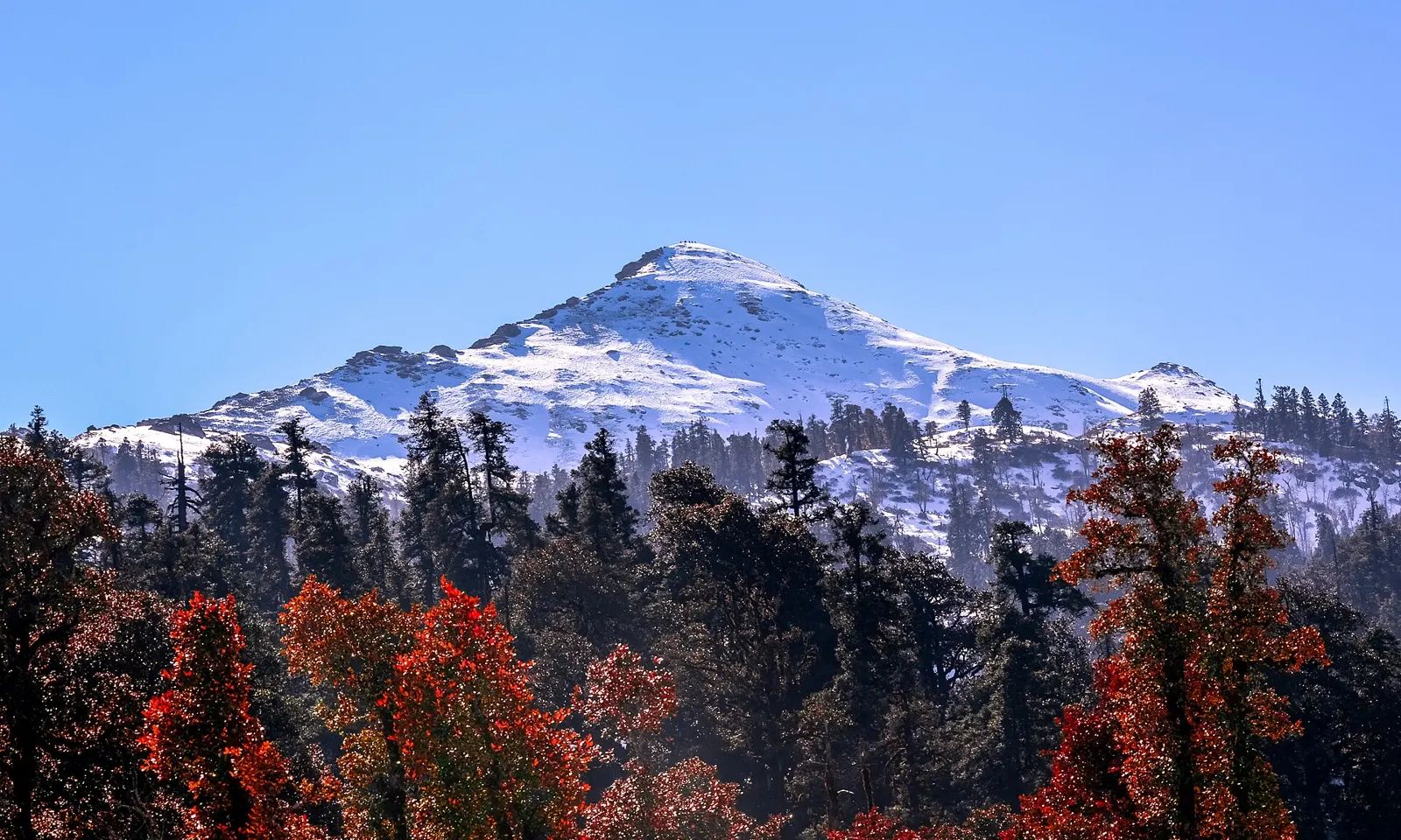
Snow on Kedarkantha peak above red autumn trees

Photos: Kanthi Kiran (CC BY-SA 4.0), rakesh kumar (CC BY-SA 4.0), Kanthi Kiran (CC BY-SA 4.0), Atulbhats (CC BY-SA 4.0)

Distance
About 20 km round trip from Sankri
Time
4 to 5 days from Sankri
Highest point
3,800 m (12,500 ft)
Season
December to March for snow; April to June for green meadows

Why go

Kedarkantha is a 3,800 m summit inside the Govind Wildlife Sanctuary in Uttarkashi, and one of the few Himalayan tops a first-time trekker can reach in winter. The trail climbs through pine, oak, deodar and rhododendron forest to open snow, where Himalayan monal and black bear live.

The route

The trek begins at Sankri, a village at about 1,950 m at the road head. The first day climbs about 4 km through forest to Juda ka Talab, a small lake at about 2,770 m that freezes in deep winter, in 3 to 4 hours. The second day continues about 4 km to the base camp at about 3,430 m. Summit day starts in the dark, often around 3 am, and climbs steeply to the top at 3,800 m, then descends on a different line to the camp at Hargaon, at about 2,710 m: about 6 km and 7 to 8 hours. The last morning drops about 6 km through forest back to Sankri in 2 to 3 hours.

When to go

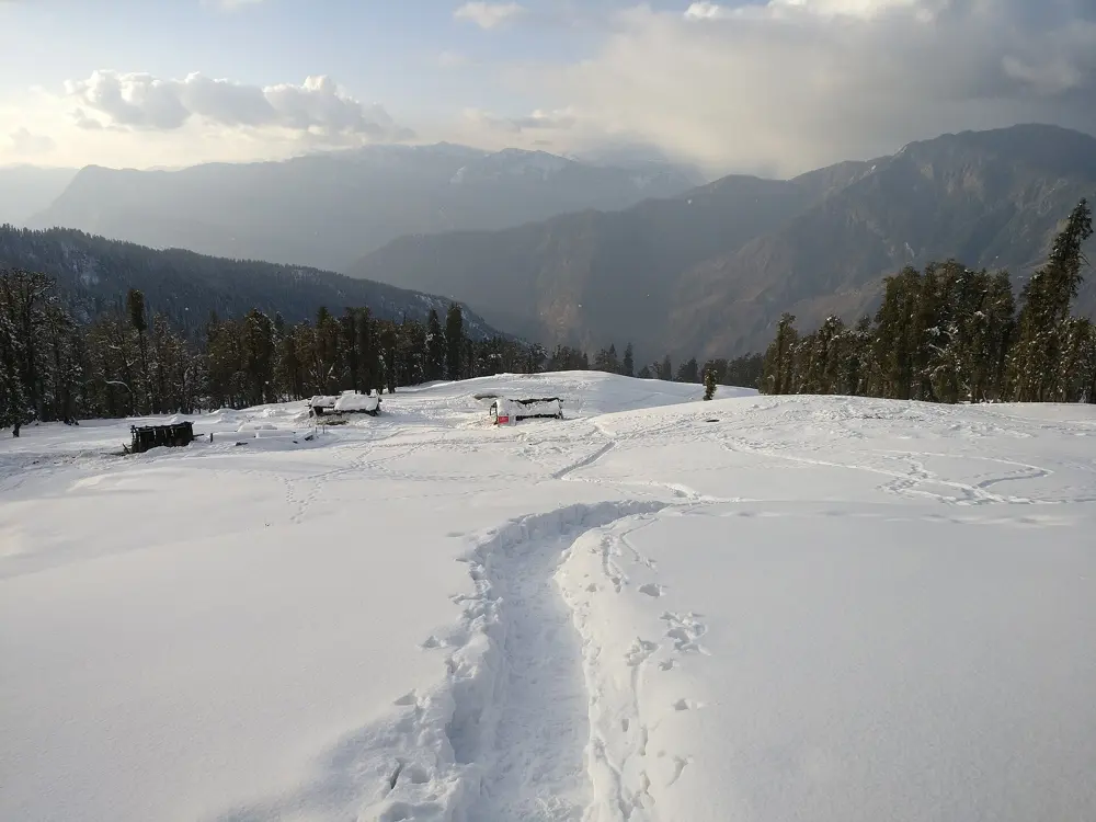
December to March is the snow season, deepest in January and February, when nights at the higher camps fall below minus 10 C. April to June is the green season, and wildflowers bloom from late March. The monsoon, July to mid September, brings rain and leeches.

Getting there

Sankri is about 200 km from Dehradun, 8 to 10 hours by road through Mussoorie, Purola, Mori and Naitwar. Most trekkers arrive the evening before.

Permits and booking

The trail lies inside the Govind Wildlife Sanctuary, so you need a forest permit from the check post in Sankri; operators usually include it. Sources disagree on whether independent trekkers must hire a registered local guide, so ask there.

How hard it is

Easy to moderate, and often suggested as a first Himalayan trek. The days are short until the summit, a long, cold climb on steep snow.

Where to sleep

Sankri has budget guesthouses and homestays. On the trail you camp at Juda ka Talab, the base camp and Hargaon.

Tips

  • Carry cash: there is no ATM in Sankri, and the last one is at Purola, about 50 km before it.
  • Keep a spare day; in January 2026 bad weather held groups at their camps for a couple of days.
07 / 10

Dzükou Valley

Kohima, Nagaland, on the border with Manipur

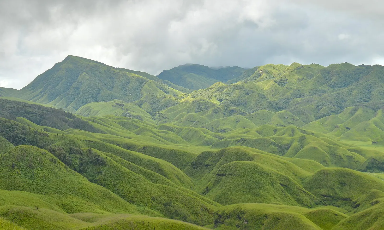
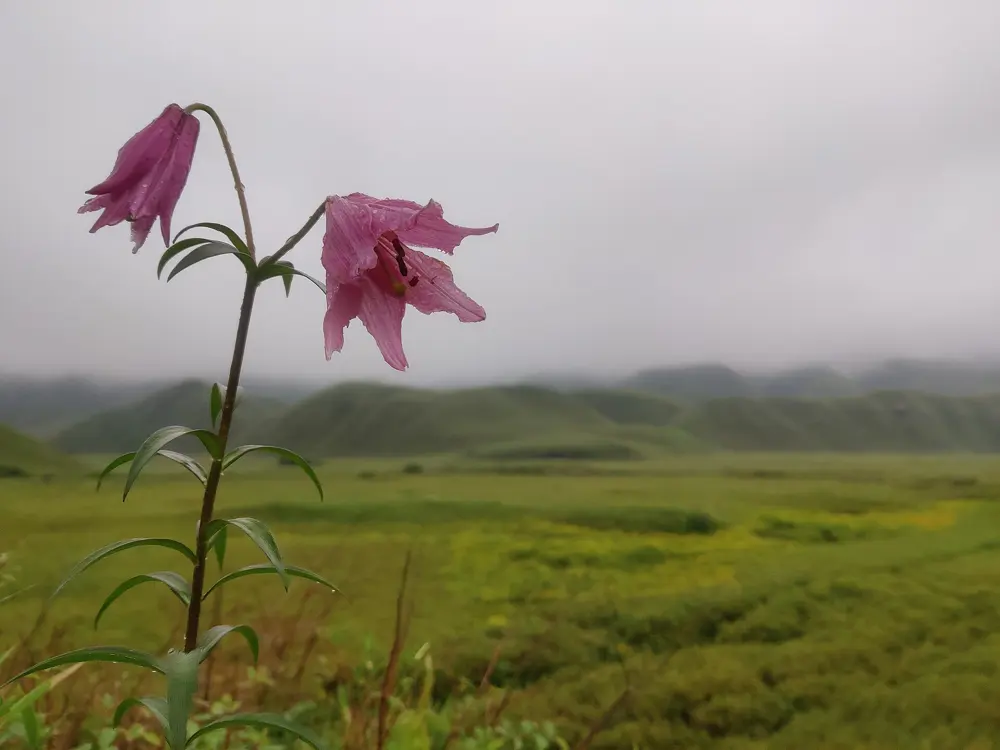
The rounded green hills of the Dzükou Valley

Photos: Original: Samudra Bikash Hazarika Derivative work: UnpetitproleX (CC BY-SA 4.0), নিৰঞ্জন বড়া (CC BY-SA 4.0), Ganesh Mohan T (CC BY-SA 4.0), Rohit Naniwadekar (CC BY-SA 4.0)

Distance
About 13 km from Viswema or 10 km from Jakhama to the rest house
Time
4 to 5 hours each way; most people stay one night
Highest point
The valley, about 2,450 m
Season
All year; lilies flower in the monsoon, around May to July

Why go

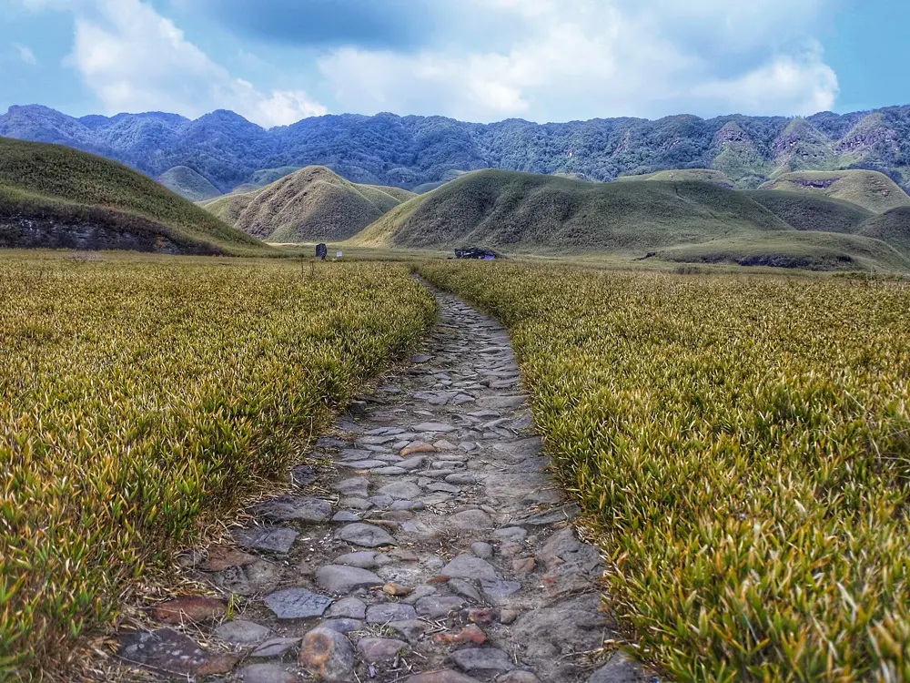
Behind Mount Japfü, the second highest peak in Nagaland, lies a high valley of rounded green hills covered in dwarf bamboo. In the monsoon its meadows fill with wildflowers, among them the pink Dzükou lily, and in winter the floor turns white with frost. It sits on the Nagaland and Manipur border, looked after by the Southern Angami villages.

The route

Two routes come in from the Nagaland side, and many people go up one and down the other. From Viswema, about 1,631 m, a road of 8 to 9 km leads to the trekkers' point and entry counter. A steep trail of about 4 km then climbs through forest to the ridge in under an hour, muddy and slippery when wet, followed by 4 km of nearly level walking along the rim to the guest house. From Jakhama, about 1,606 m, stone steps climb for 3 to 4 hours to the top of Jakhama hill, where the path joins the Viswema trail for the last 2 km. Either way takes 4 to 5 hours. The guest house sits on a ridge above the valley, so the next morning is spent walking down onto the valley floor before heading out.

When to go

The valley is open all year. The lily flowers in the monsoon, roughly May into July, and wildflowers last until September. Late December to February brings frost and sometimes snow, and dry winters are the fire season: trekking was suspended twice in the winter of 2025 to 2026.
Getting there

Viswema and Jakhama are villages on the highway south of Kohima, each within about 25 km of the town.

Permits and booking

Indians from outside Nagaland need an Inner Line Permit, applied for online at ilp.nagaland.gov.in; the tourist permit costs Rs 200 for 30 days. Since December 2024 foreigners again need a Protected Area Permit for Nagaland and Manipur. Since 1 October 2025 a local guide is compulsory, and trekking is not allowed after 3 pm from October to March or after 4 pm from April to September. Plastic items are registered at the entry point against a refundable deposit.

How hard it is

Moderate. The distances are short, but both routes climb over 800 m.

Where to sleep

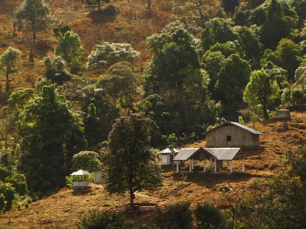
The Southern Angami Youth Organisation runs the guest house above the valley, with two floor dormitories (mats and blankets provided), a cottage with its own bathroom, and a campsite with tents for hire. Simple meals are served. There is no electricity or mobile signal.

Tips

  • Many walkers go up from Viswema and come down the Jakhama steps, which avoids the slippery Viswema trail in descent.
  • Arrange your guide in advance, since you will be turned back at the entry point without one.
08 / 10

Harishchandragad

Kalsubai Harishchandragad Wildlife Sanctuary, Ahilyanagar (Ahmednagar) district, Maharashtra

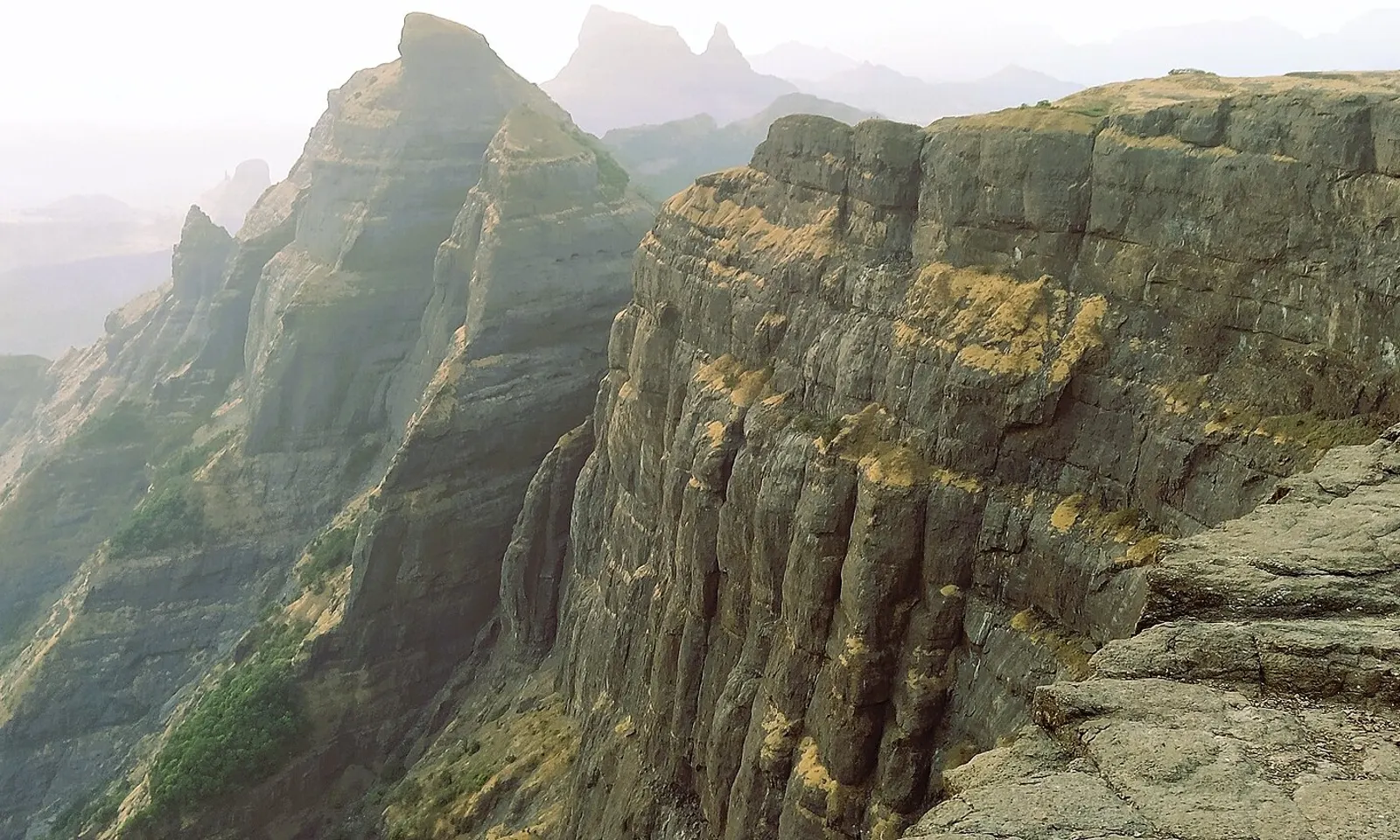
The sheer curved cliff of Konkan Kada at Harishchandragad

Photos: Super Trekkers (CC BY-SA 4.0), Dinesh Valke from Thane, India (CC BY-SA 2.0), Tokendra (CC BY-SA 4.0), Tokendra (CC BY-SA 4.0)

Distance
3 km one way from Pachnai, about 7 km one way from Khireshwar
Time
2 to 3 hours up from Pachnai, 6 to 7 hours from Khireshwar
Highest point
About 1,422 m
Season
October to February

Why go

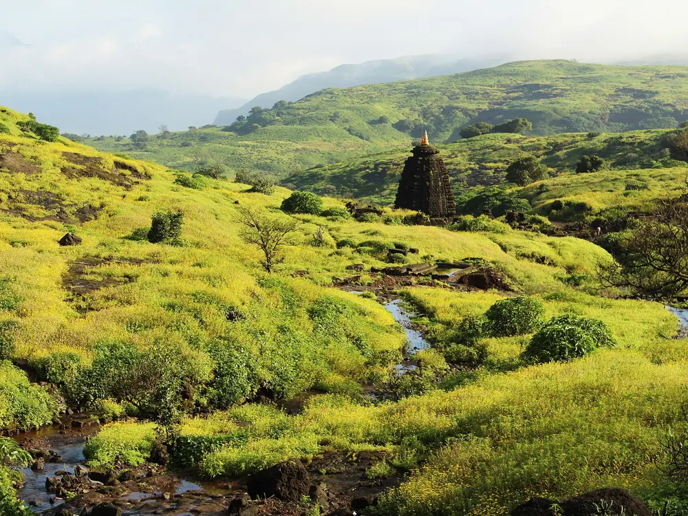
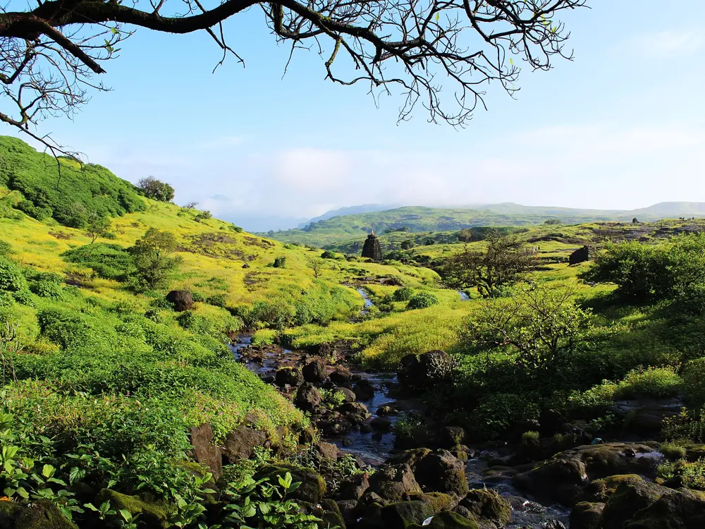
Harishchandragad is a hill fort in the Western Ghats where the Thane, Pune and Ahilyanagar districts meet. On top are the Hemadpanti stone temple of Harishchandreshwar, the Kedareshwar cave with its Shiva linga standing in ice-cold water, and Konkan Kada, a curved cliff overhanging the Konkan plain far below.

The route

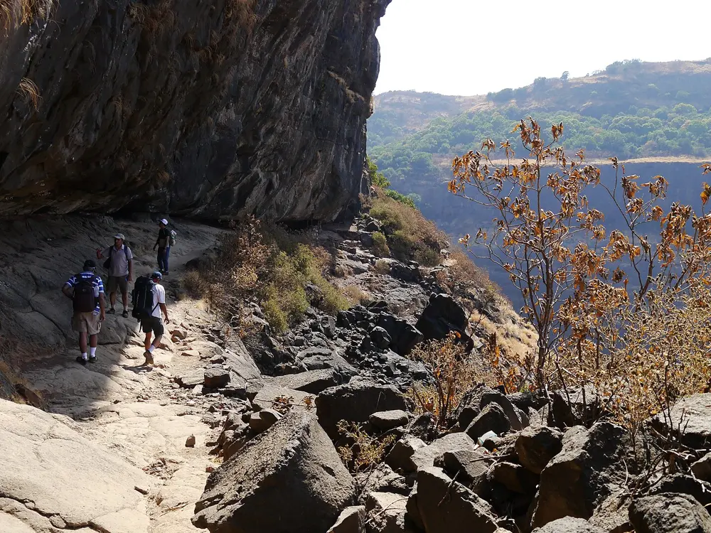
Most walkers start at Khireshwar, an hour's walk along the Pimpalgaon Joge dam from the road at Khubi Phata. The path crosses paddy fields, then climbs steeply through forest on loose gravel to Tolar Khind, a pass about an hour and a half up. Above it a rock patch of roughly 70 degrees, fitted with railings, takes about an hour. From the plateau a forest shortcut reaches the top in an hour, or a longer line crosses seven low hills. The Pachnai route from the Ahilyanagar side is the easy one, 3 km in 2 to 3 hours with railings on the steep parts. Nali chi Vaat, from Belpada below the cliff, climbs a boulder-filled stream bed into a gorge beside Konkan Kada and needs ropes on rock patches of about 80 degrees; allow 8 to 10 hours. Konkan Kada is 30 minutes from the temple, and Taramati, the highest point, looks out to Alang, Madan, Kulang and Kalsubai.

When to go

October to February is cool and clear. In the monsoon the cliffs fill with cloud, but trails turn slippery, the Kedareshwar cave is cut off by its stream, and Nali chi Vaat is dangerous from rockfall and wind. March to May is hot, so start early.

Getting there

Pune is about 120 km away through Narayangaon and Otur, with a daily State Transport bus from Shivajinagar to Khireshwar. Mumbai is about 170 km over Malshej Ghat; Kalyan and Igatpuri are the nearest stations, with jeeps to the base villages.

Permits and booking

No permit is needed, though the fort is inside a wildlife sanctuary and the forest office sometimes charges a small entry fee and sets timings. In heavy monsoon the Forest Department closes the sanctuary's trekking spots: in 2025 Harishchandragad was shut until 10 August, and overnight visitors were not let in after 3 pm. Bluetooth speakers are not allowed, and smoking, drinking and littering are fined.

How hard it is

Moderate by Pachnai, moderate to hard by Khireshwar. Nali chi Vaat is a technical climb for experienced trekkers with a guide.

Where to sleep

Homestays in Pachnai and Khireshwar are the simplest base. Villagers have long rented tents near the temple and groups still sell nights at Konkan Kada, but trekking sites report that the forest office has banned camping on the fort over litter, so ask in the base village before carrying a tent up.

Tips

  • Cross the rock patch above Tolar Khind early: its chains and railings get hot in the sun.
  • Keep back from the edge near Konkan Kada in the rains; in July 2026 a hillside collapse there injured four trekkers.
09 / 10

Kudremukh Peak

Kudremukh National Park, Chikkamagaluru, Karnataka

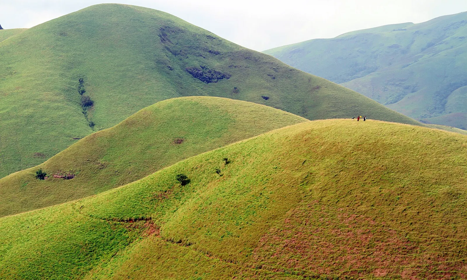
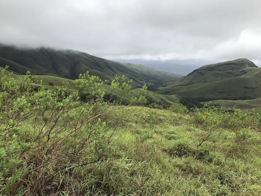
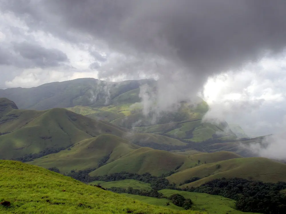
Grassy ridges on the way to Kudremukh, with walkers on the trail

Photos: Dhruvaraj S (CC BY 2.0), Dhruvaraj S from India (CC BY 2.0), Navi guy (CC BY-SA 4.0), Dhruvaraj S from India (CC BY 2.0)

Distance
About 20 km return
Time
1 long day
Highest point
1,894 m
Season
October to February

Why go

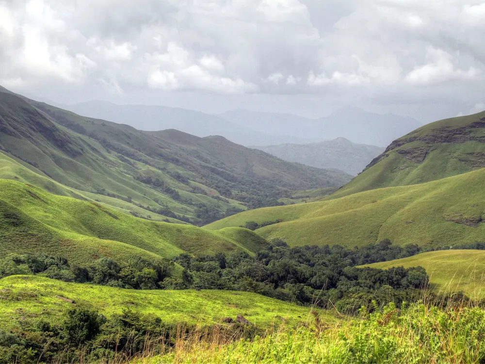
Kudremukh, the horse face in Kannada, is a 1,894 m peak in the Western Ghats whose long grassy ridges rise out of the shola forest of Kudremukh National Park. The walk crosses streams and open rolling hills, and on a clear day the summit looks out over a wide arc of green ranges.

The route

The trek starts at the forest office in Mullodi village, where you check in with your booking and meet your guide. The first stretch climbs gently through forest for about 15 minutes to the first stream, then continues on a gradual path through mixed woods and grassland to Ontimara, the end of the first section, about 5 km and 2 hours from the office. From the second Ontimara the trail rises gently for around 20 minutes before turning steeper as it gains the ridge. The ridge walk is open to the sky and often windy, with the horse face profile coming into view along the way. Leaving at 8 am, most groups reach the last rest point around noon, and from there the summit is about 35 minutes of steady climbing. You come down the same way to Mullodi.

When to go

The post-monsoon months from October to February are the best, when the grass is green. Trails close in summer for fire risk and in heavy monsoon rain: in 2026 the division shut trekking in January for fire risk and again in August for rain.

Getting there

Kalasa is the nearest town, about 320 km from Bengaluru. Mullodi is roughly 15 km from Kalasa but the last stretch is rough, so most people take a jeep from the Kudremukh entrance to the forest office at Mullodi.

Permits and booking

Every trekker must book online on the Karnataka Forest Department's Aranya Vihaara portal, where Kudremukh is listed under the Chikkamagaluru treks, and no walk-in entries are accepted. Book at least 1 day and no more than 30 days ahead and bring the original photo ID used to book. Since 2026 a guide goes with every batch of 10 trekkers. Under rules from 15 July 2026, cancelling 8 or more days ahead refunds 50 percent and later cancellations get nothing.

How hard it is

Moderate to hard. The distance is long rather than technical, and the final climb to the summit is steep.

Where to sleep

Homestays around Mullodi and Kalasa are the usual base, and there are dormitories near the start. Camping is not allowed in the park, and trekking runs only from morning to evening.

Tips

  • Start as early as your slot allows, because the summit often clouds over later in the day.
  • Single-use plastic and flash photography are banned in the trekking zones, and there are no toilets past the forest check post.
10 / 10

Agasthyarkoodam (Agasthyamala)

Neyyar Wildlife Sanctuary, Thiruvananthapuram, Kerala

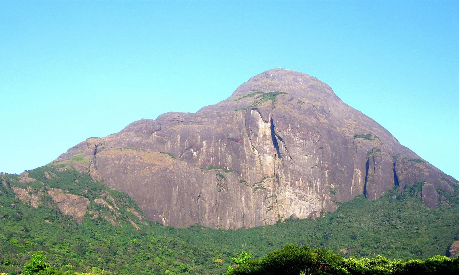
The bare granite face of Agasthyarkoodam above green forest

Photos: Unbound Rover (CC BY-SA 4.0), Athulvis (CC BY-SA 4.0), Shyamal (CC0), Athulvis (CC BY-SA 4.0)

Distance
About 14 to 17 km to Athirumala base camp, then 6 to 10 km to the top (sources differ)
Time
2 days
Highest point
1,868 m
Season
A short window in January and February; the 2026 season ended on 11 February

Why go

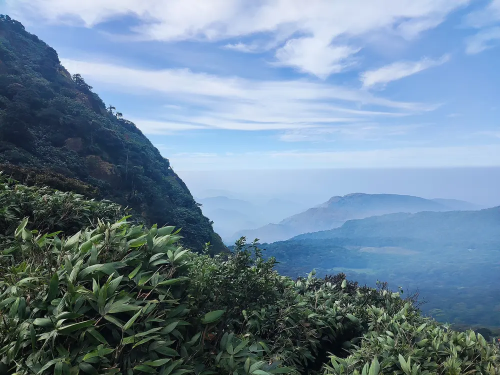
At 1,868 m, Agasthyarkoodam is the second highest peak in Kerala and sits inside the Agasthyamala Biosphere Reserve, which UNESCO added to its world network in 2016. The Forest Department opens it for only a few weeks a year, so the trail through evergreen forest and grassland stays quiet. A statue of the sage Agastya stands on the summit.

The route

The only route open to the public starts at the Bonacaud picket station, where forest officers check passes. Day one is the long one: the path leaves the forest for open grassland, passes Muttidichan Theri and climbs steadily to the Forest Department camp shed at Athirumala, the base camp. Day two starts early. The trail passes Pongalappara, crosses five stretches of bare rock and finishes with a steep section where trekkers pull up on fixed safety ropes to reach the summit. You come back down to Athirumala the same day, and anyone who cannot reach the camp by about 2 pm has to spend a second night there before walking out to Bonacaud.

When to go

The trek opens only once a year, for a few weeks set by the Forest Department. In 2026 it began in mid January and closed on 11 February, in two booking phases. Earlier seasons ran into early March, so watch for the notice around the turn of the year.

Getting there

Bonacaud is about 61 km from Thiruvananthapuram city, and regular buses run there from the Central bus depot.

Permits and booking

Every trekker needs a pass booked online through the Kerala Forest Department, and passes sell out within hours of opening. In 2026 the fee was Rs 3,000 a head, with 70 trekkers a day, and the second phase opened for booking at 11 am on 23 January. Only people over 14 may go, those aged 14 to 18 need a parent's consent letter, and everyone must bring a fitness certificate from a registered doctor issued within seven days of the trek. Women have been allowed since the Kerala High Court ruled in late 2018 that the trek could not be restricted by gender.

How hard it is

Hard. Two long days on uneven ground, with a rope-assisted rock climb near the top and little shelter from sun or wind once you leave the forest.

Where to sleep

The Forest Department camp shed at Athirumala is the only place to stay on the trek, and its facilities are basic. No building for lodging is allowed higher on the hill.

Tips

  • Plastic, alcohol, puja materials and the pongala ritual are banned, and trekkers may not go near the idol or perform rituals there.
  • Set an alarm on the night of booking: in 2026 the first phase was full before the season began.

Sources

Distances, heights, seasons and permit rules were checked against these pages. Rules change, so check the park or trail authority before you go.