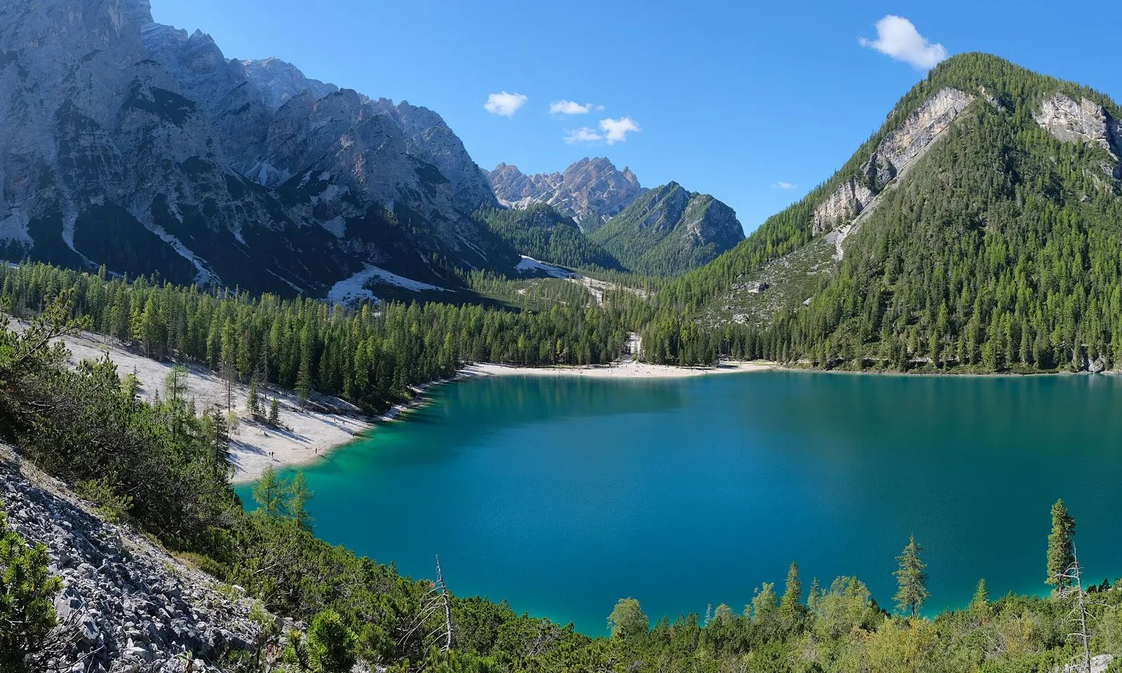
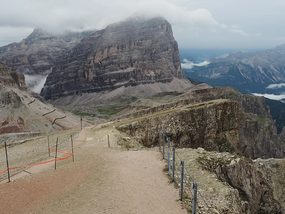
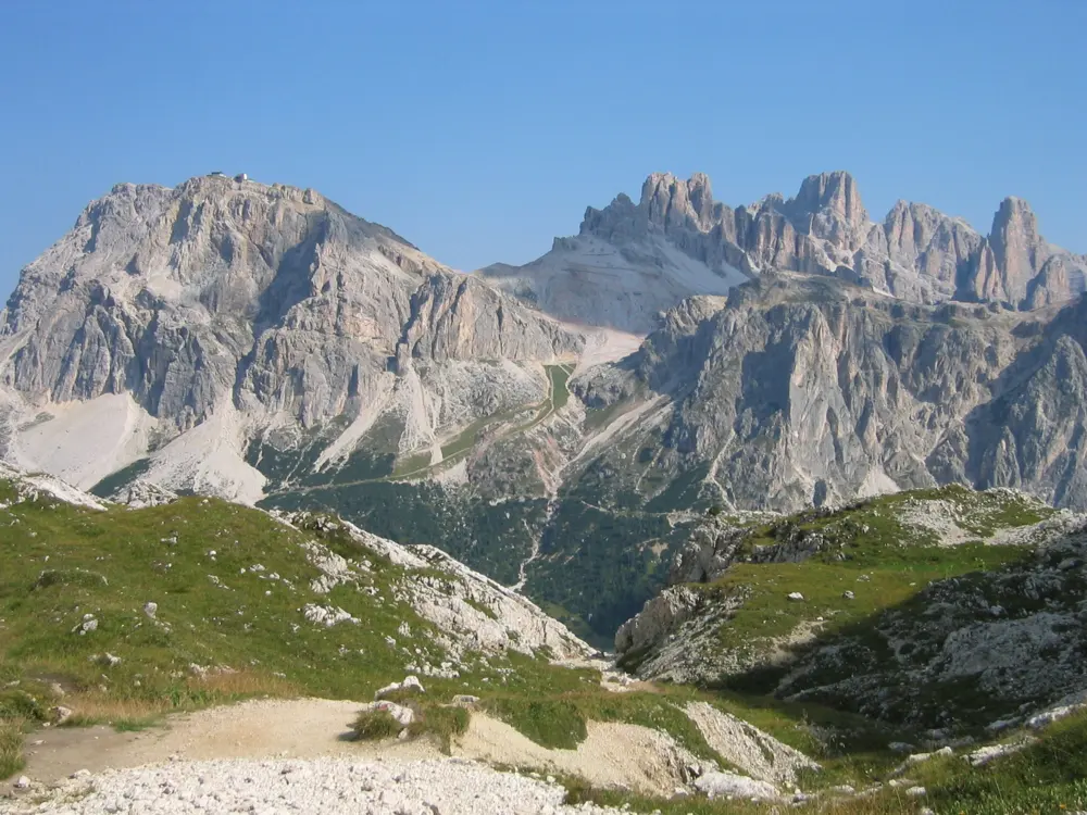
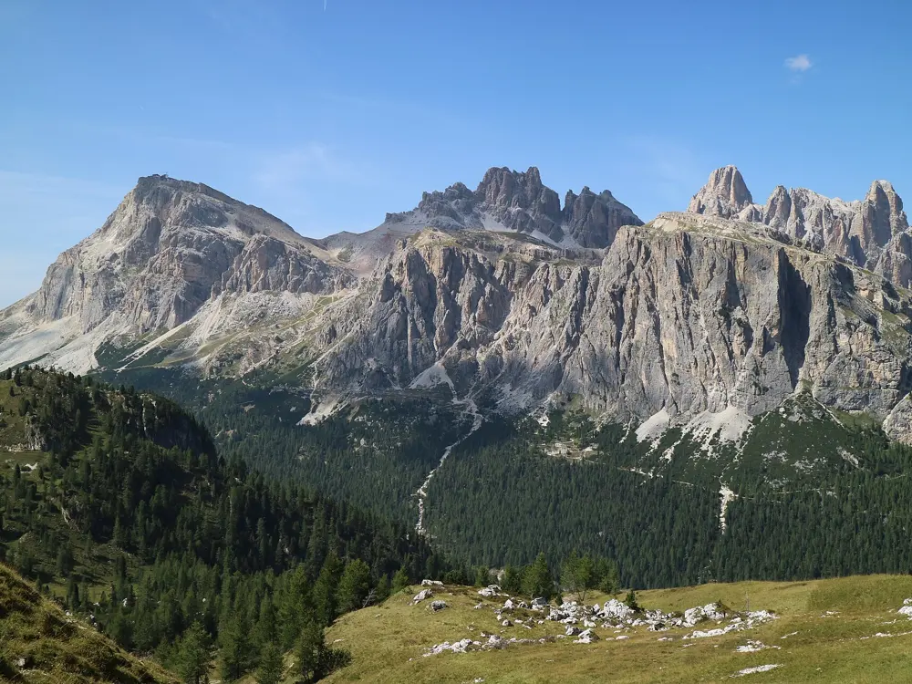
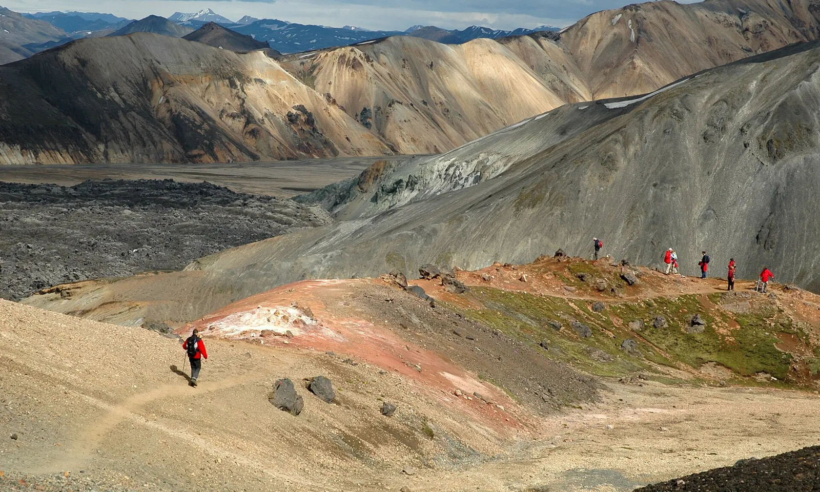
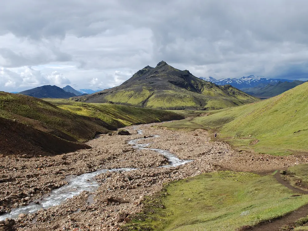
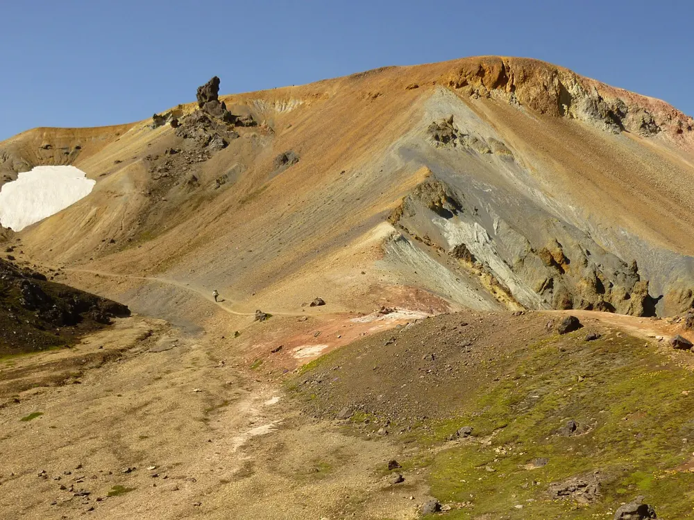
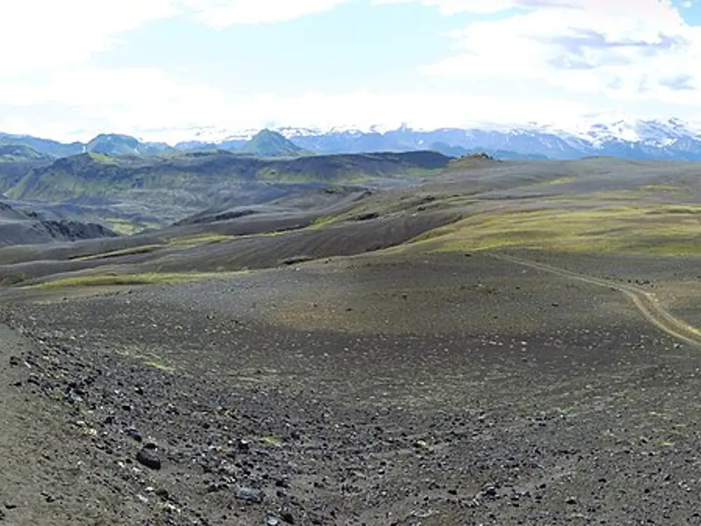
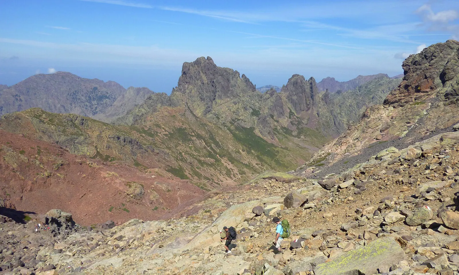
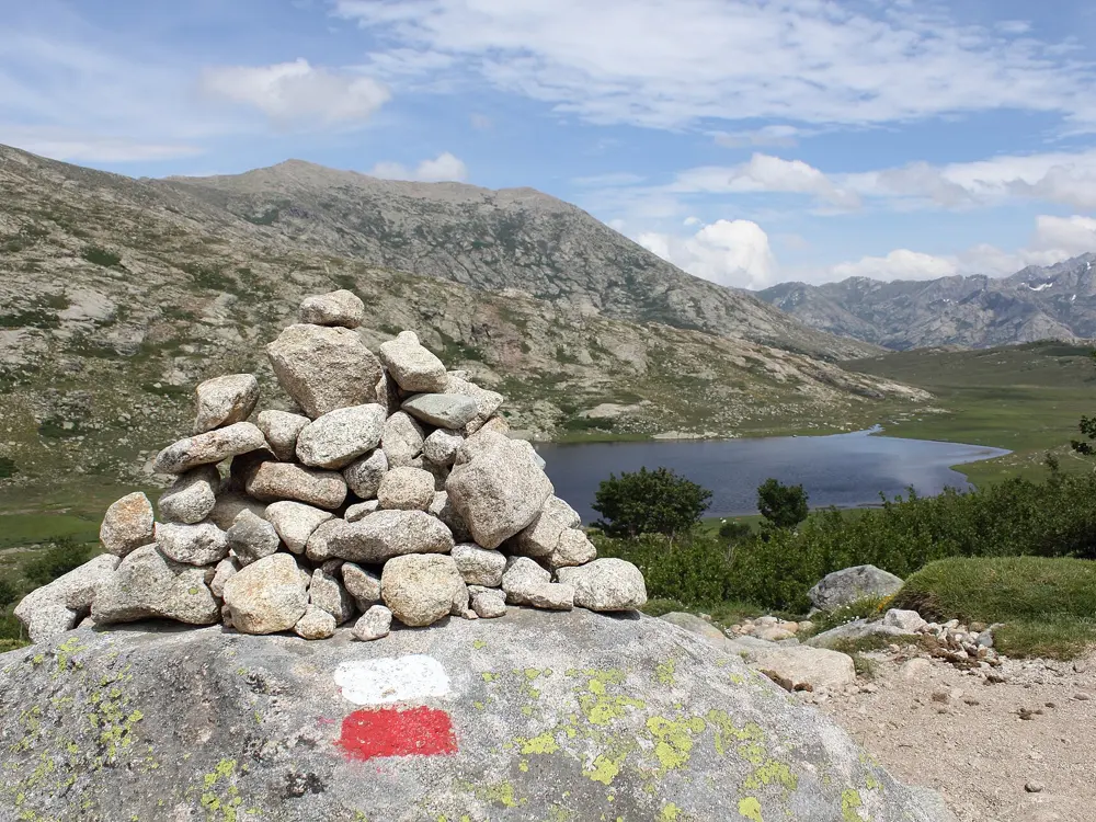
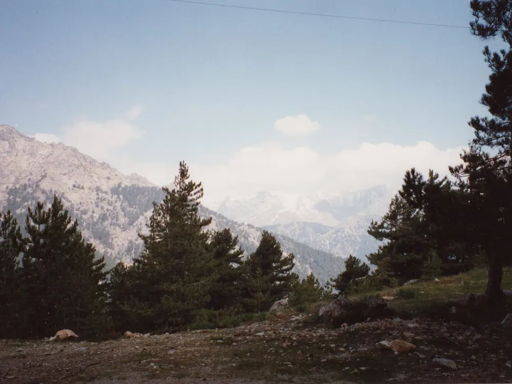
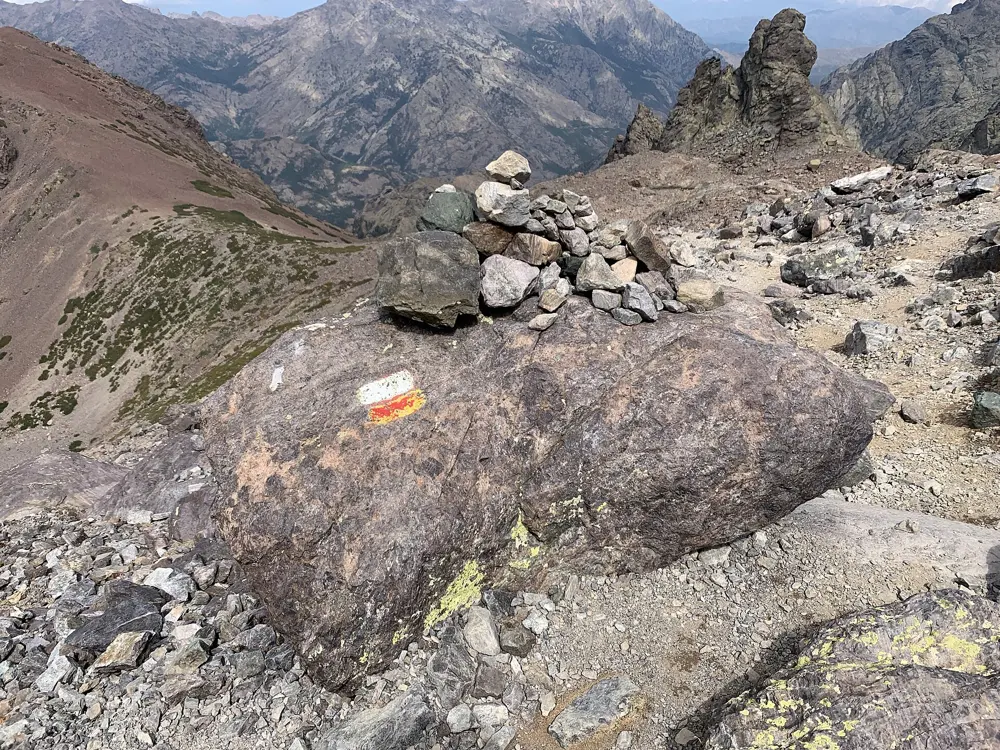
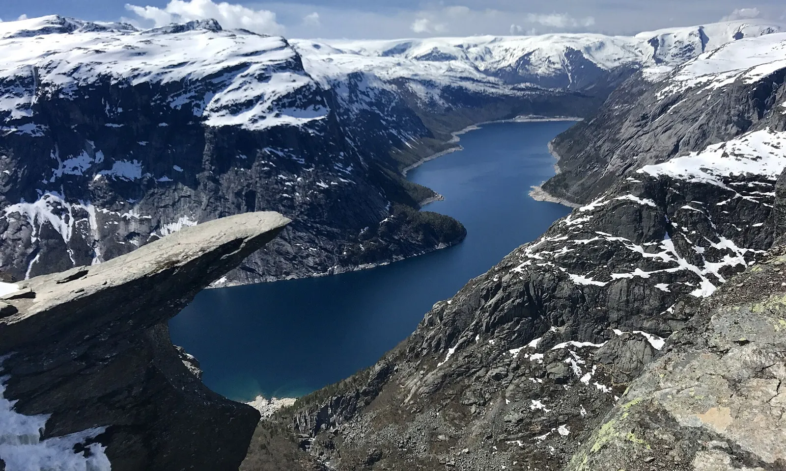
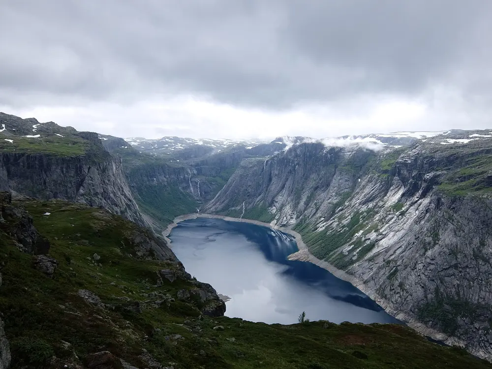
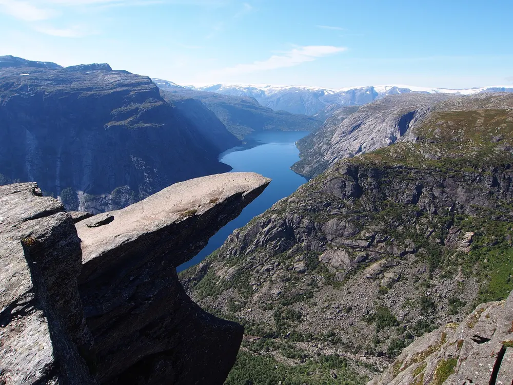
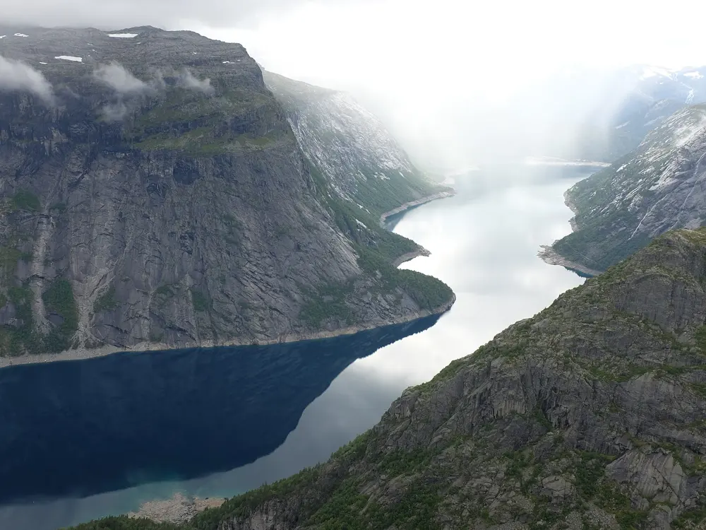
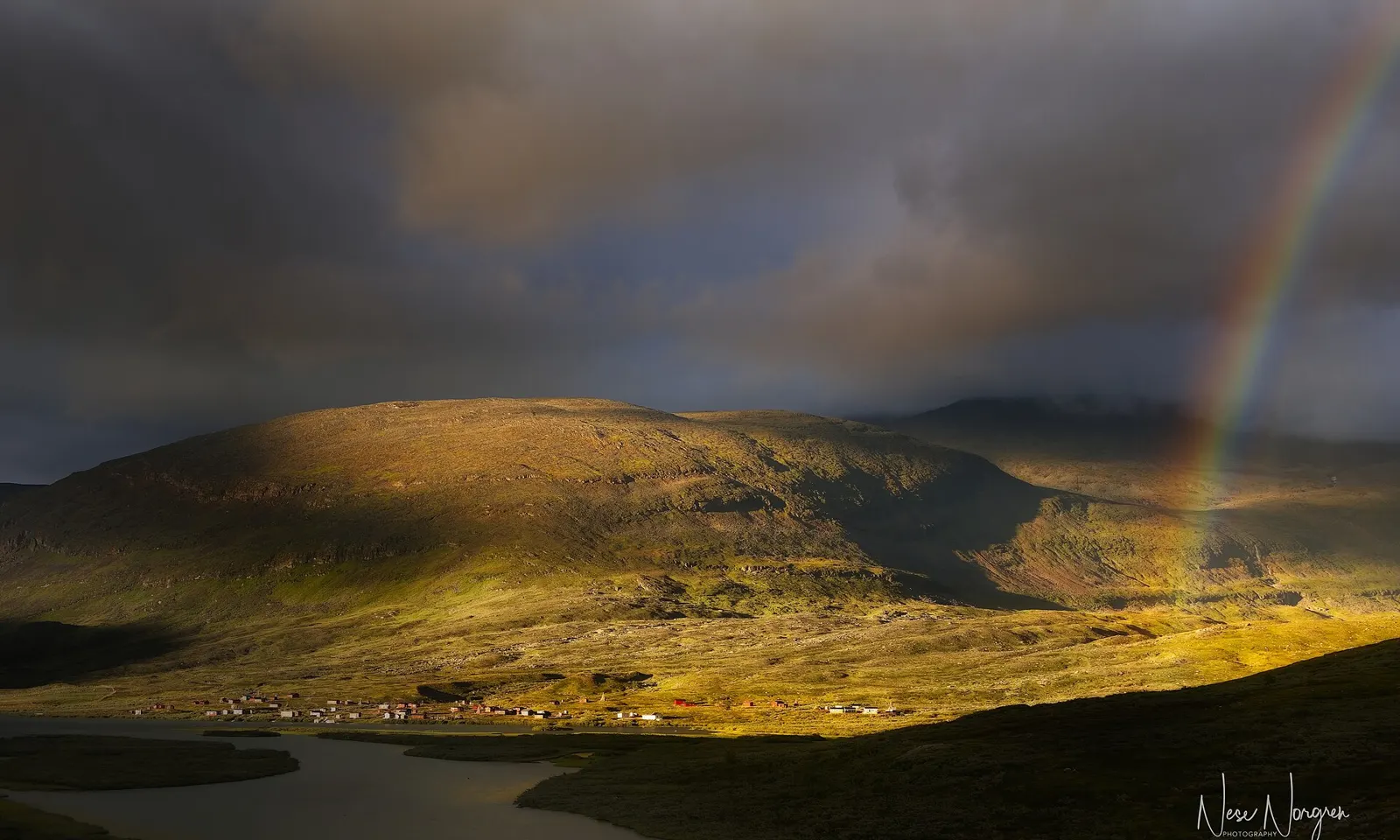
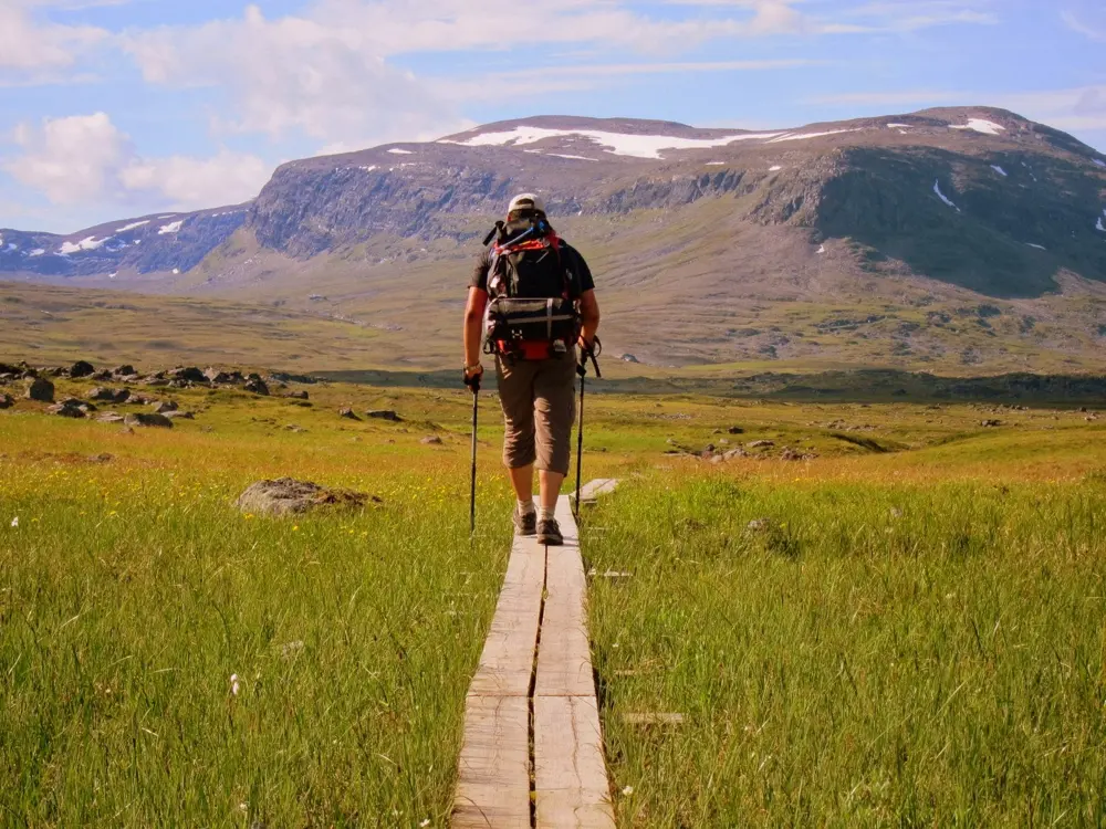
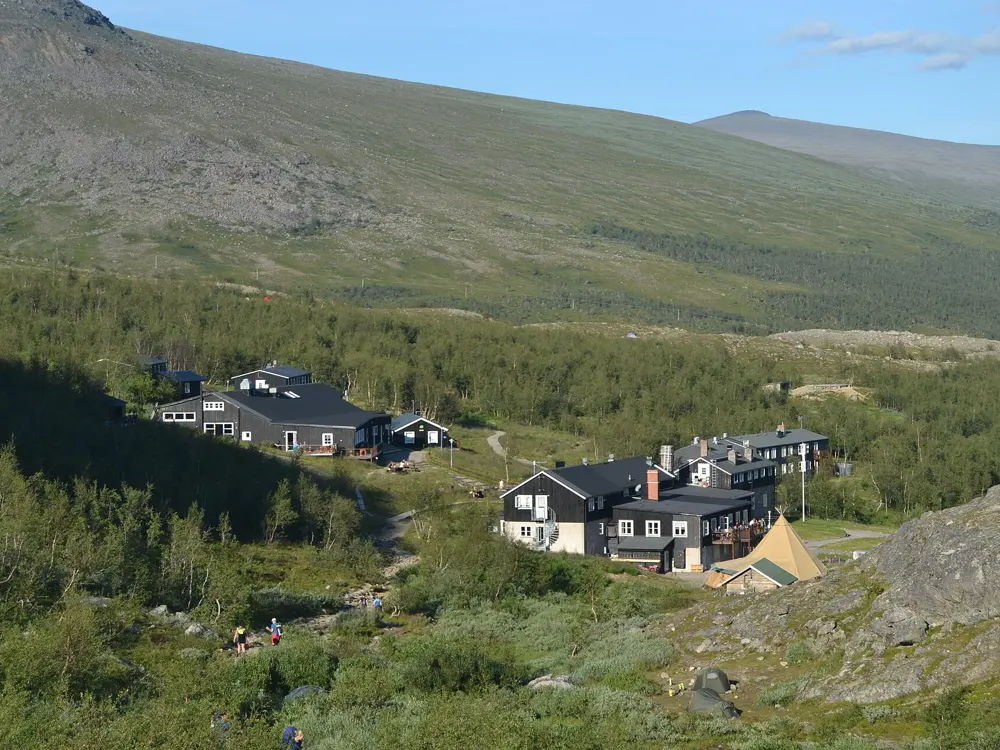
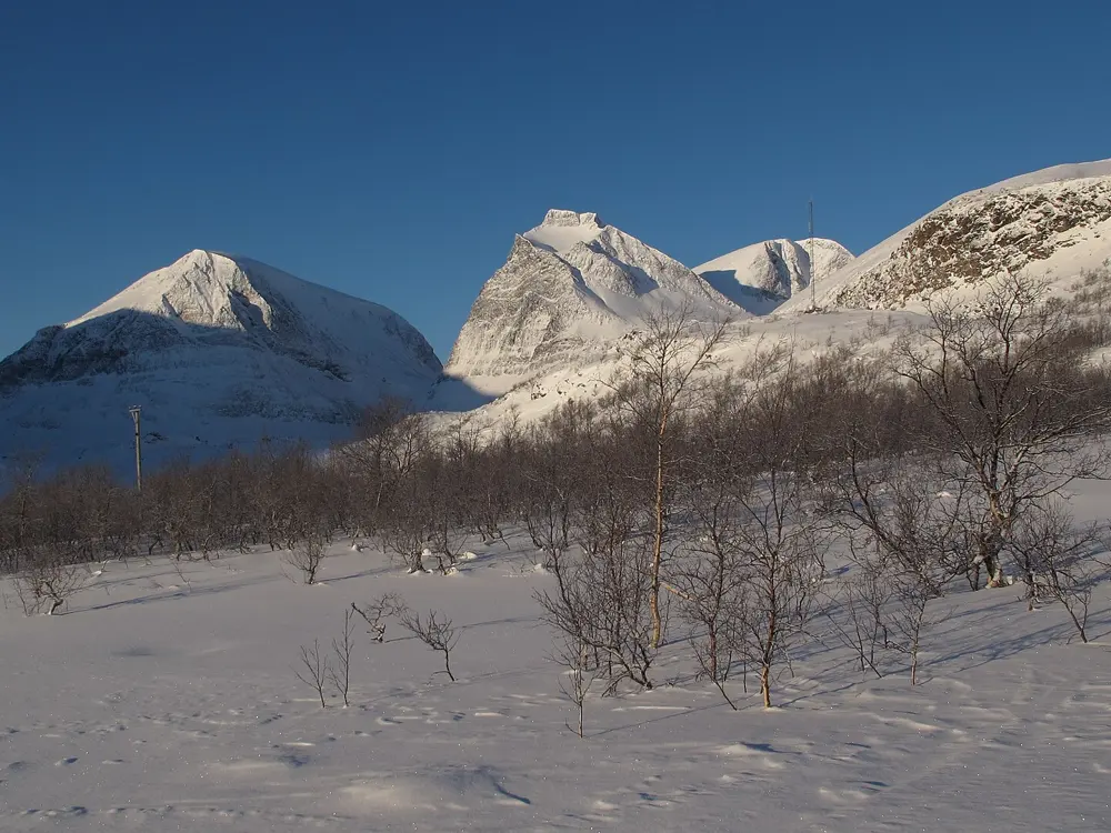
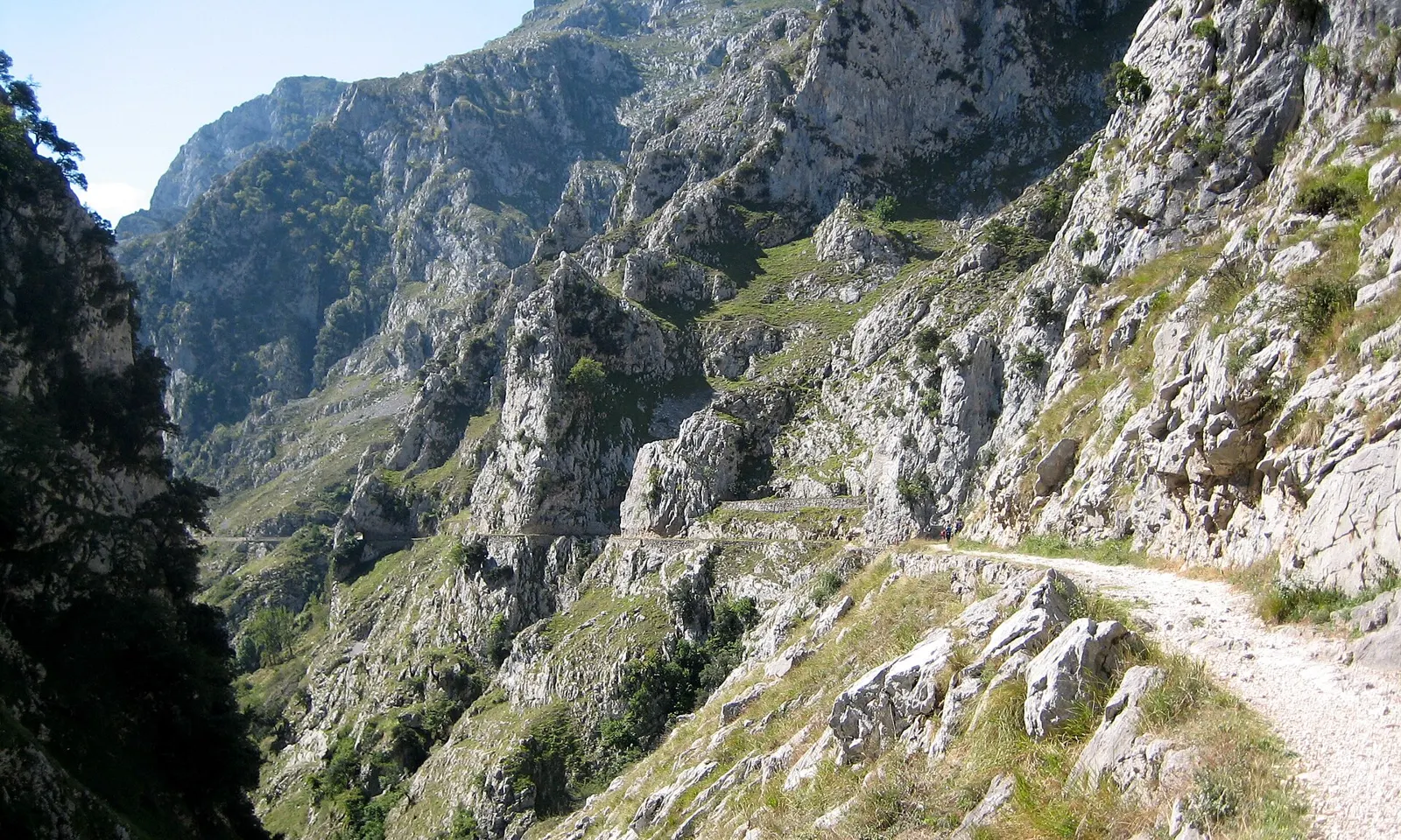
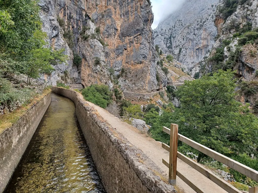
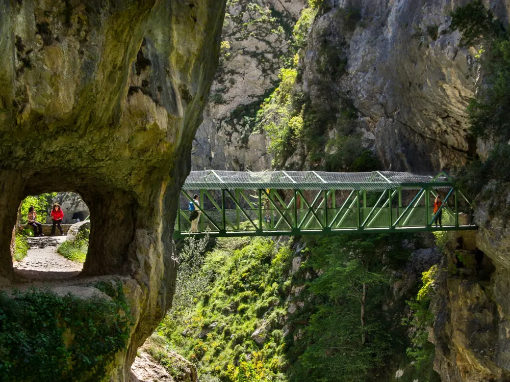
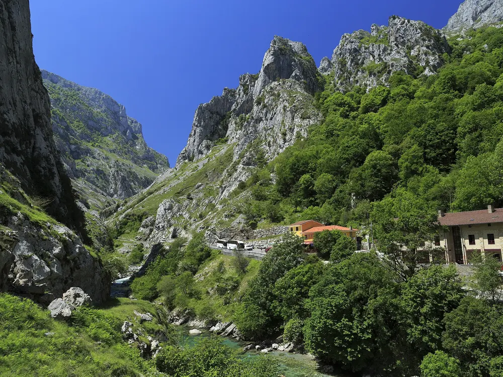
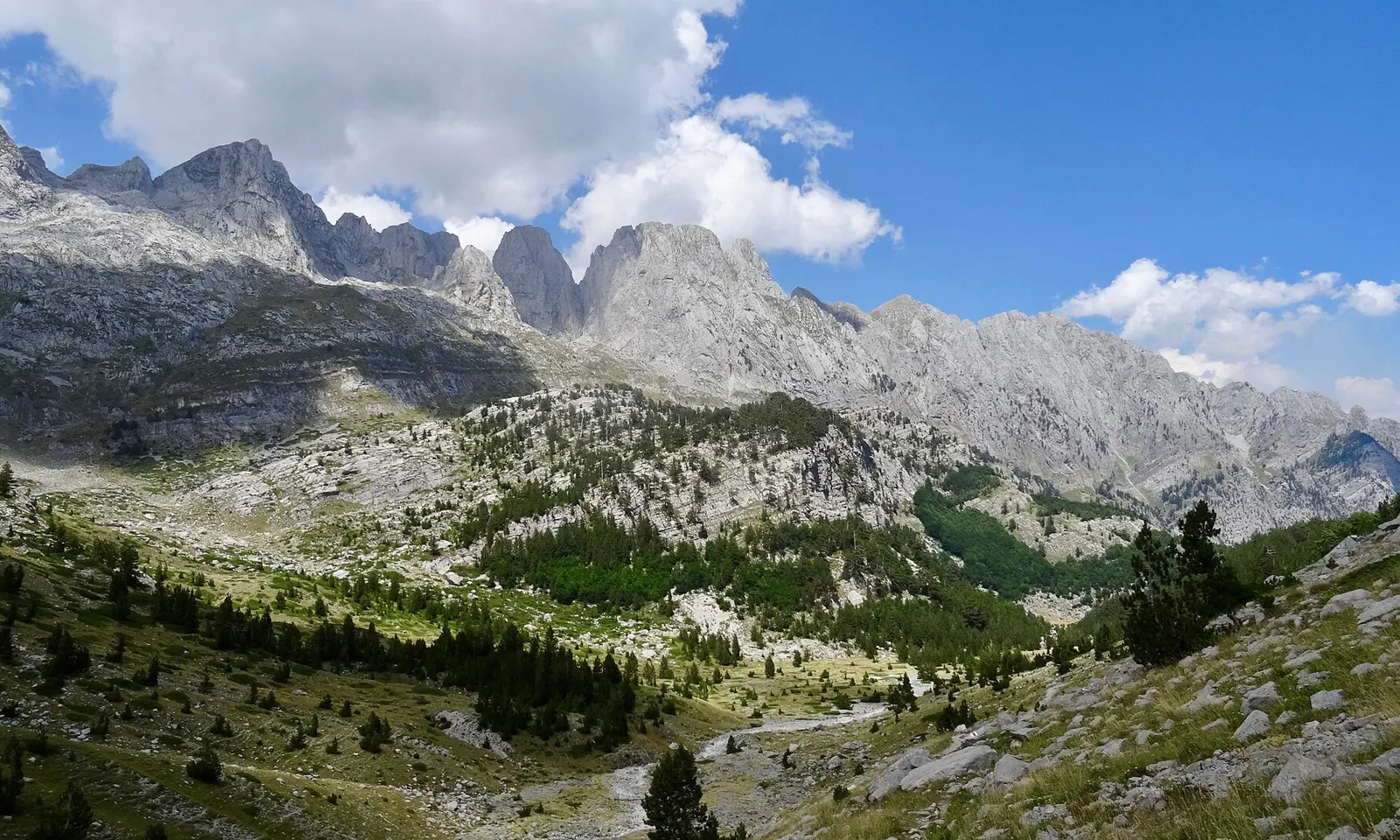
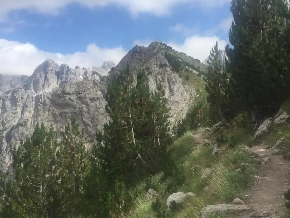
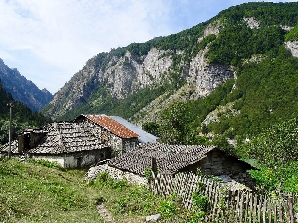
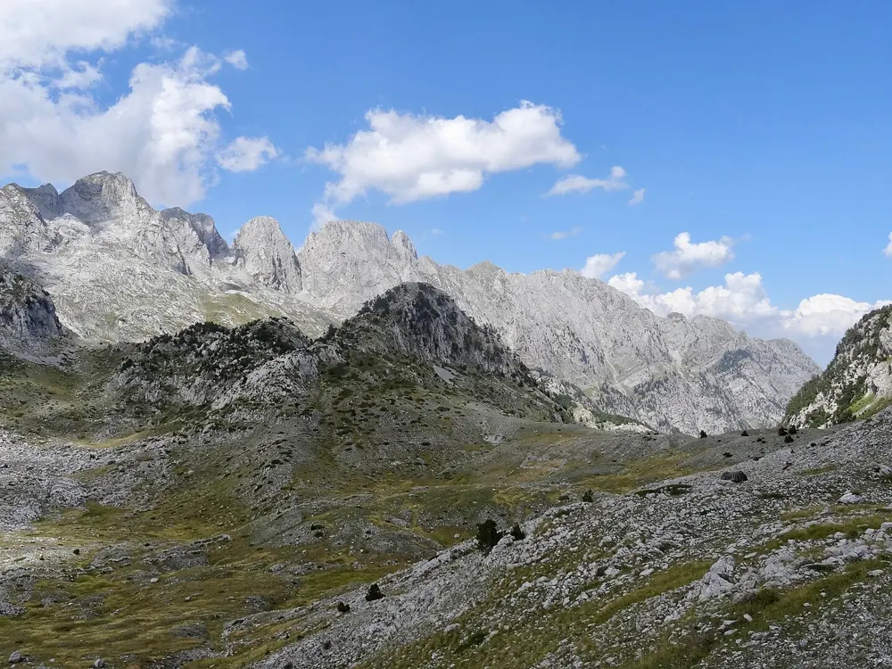
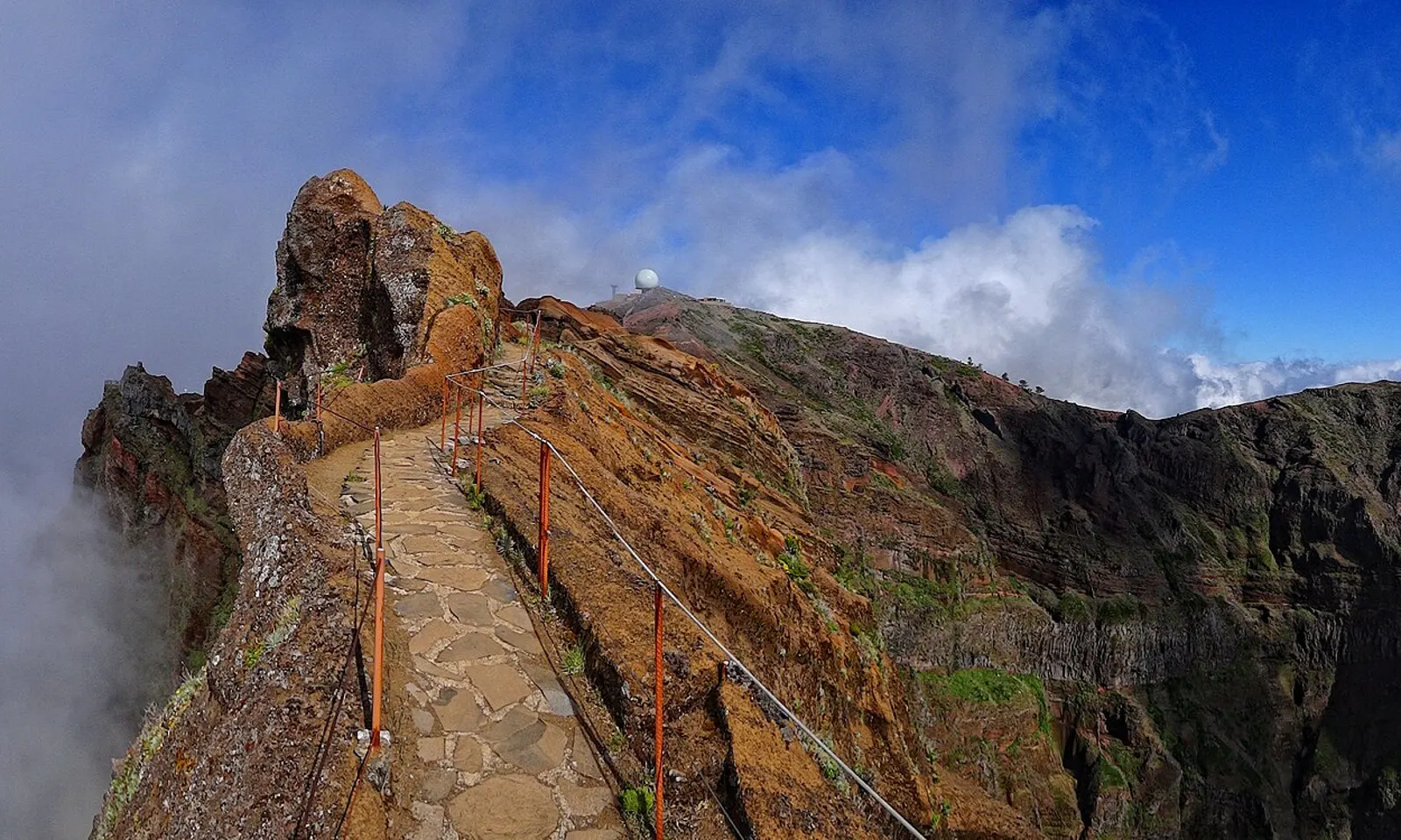
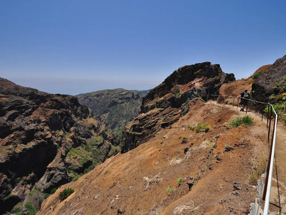
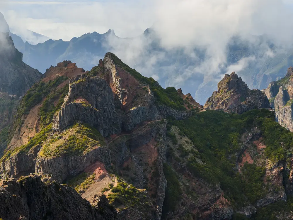
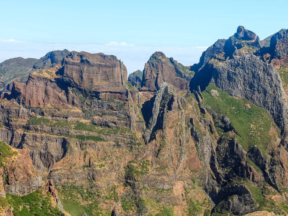
Tour du Mont Blanc
France, Italy and Switzerland
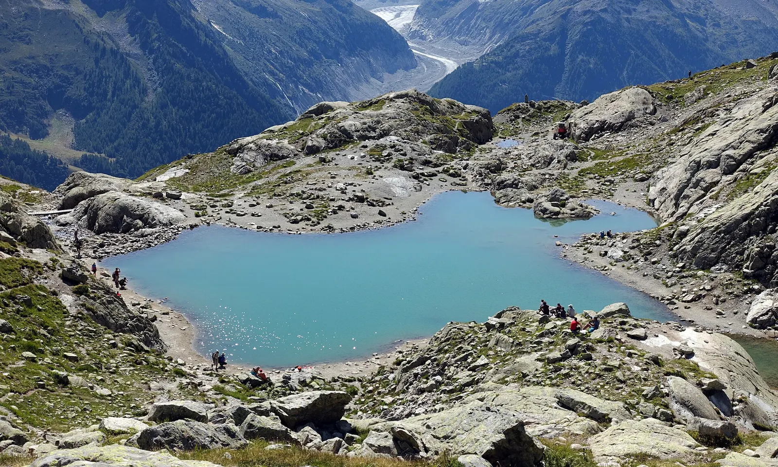
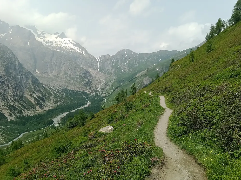
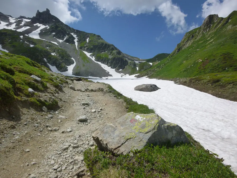
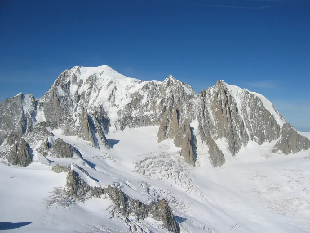
Photos: Tiia Monto (CC BY-SA 3.0), Rémih (CC BY-SA 4.0), Cassican (CC BY-SA 4.0), Franco Pecchio (CC BY 2.0)
- Distance
- About 170 km loop
- Time
- 7 to 12 days
- Total ascent
- About 10,000 m
- Season
- Mid-June to mid-September
Why go
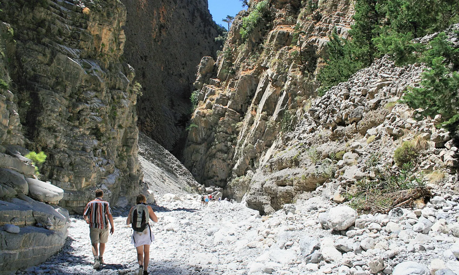
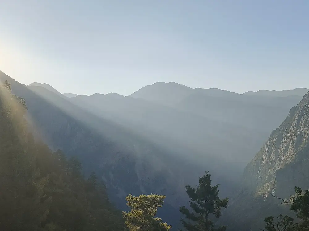
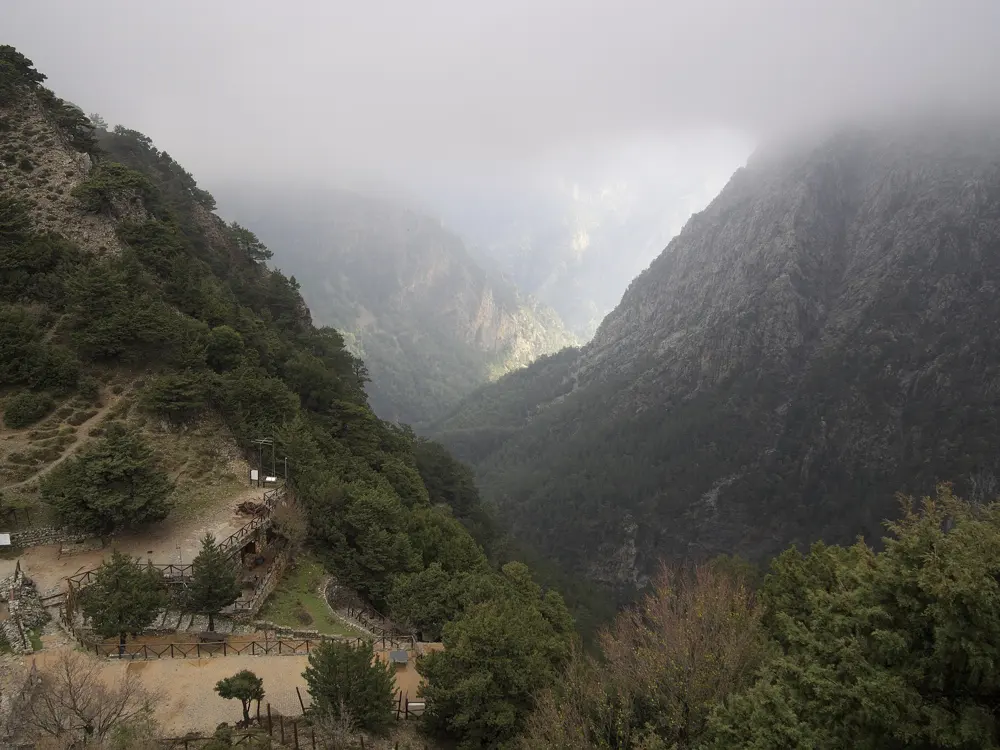
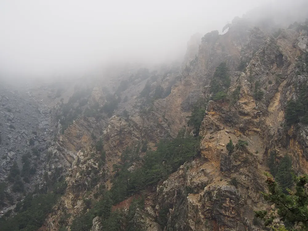
The Tour du Mont Blanc circles the Mont Blanc massif through France, Italy and Switzerland, crossing seven valleys. Each night ends in a village or a staffed refuge, so you carry clothes and lunch rather than a tent, and the language and food change each time a col takes you into another country.
The route
Anticlockwise is the classic, best waymarked direction, and most walkers start at Les Houches. The path runs by Les Contamines and the Croix du Bonhomme to Les Chapieux, then over the Col de la Seigne into Italy's Val Veny. After Courmayeur it traverses above the Italian Val Ferret by Rifugio Bonatti, crosses the Grand Col Ferret into Switzerland and drops through La Fouly to Champex. From the Col de la Forclaz it returns to France along the balconies above Chamonix by Tré-le-Champ and La Flégère.
When to go
The season runs from mid-June to mid-September, when the passes are clear and the refuges open. Old snow can hide waymarks in June and early July. The Refuge de la Croix du Bonhomme closed in mid-August 2026 for renovation until spring 2029, so split the Les Contamines to Les Chapieux stage at Nant Borrant or La Balme.
Getting there
Geneva airport is 88 km from Chamonix, with daily coaches. By rail, the Léman Express runs from Geneva to Saint-Gervais-le-Fayet, where the Mont Blanc Express continues to Les Houches and Chamonix. Courmayeur, Les Contamines and Champex also work as starts.
Permits and booking
No permit or fee is needed. The refuge association calls advance booking essential in high season; bookings for summer 2027 opened on 15 October 2026. In August 2026 the French communes were reported to be drafting rules requiring every walker to book a refuge or authorised bivouac area from spring 2027, though nothing had been adopted when this was written. Since 11 July 2026 the path between Prayon and Branche near Orsières in Switzerland has been diverted because of rockfall, and the old line is closed.
How hard it is
Expect about 10,000 m of ascent in total and 5 to 8 hours of walking most days on good paths with no climbing. Parts of the stretch from Les Contamines to Courmayeur have no mobile signal; 112 works in all three countries.
Where to sleep
Refuges, gîtes and hotels line the route. Dormitory half board in a refuge costs about €65 to €95 a night, and member refuges of the Association des Gardiens du Tour du Mont-Blanc are booked on montourdumontblanc.com with a deposit.
Tips
- If anticlockwise refuges are full on your dates, try walking clockwise, as the refuge association suggests.
- Camping is banned in the Treutsebo sector of the Swiss diversion; use the campsites at La Fouly or Arpette.