Rungs Labs

Rungs Pilgrimage · Hikes · China

The 10 Best Hikes in China

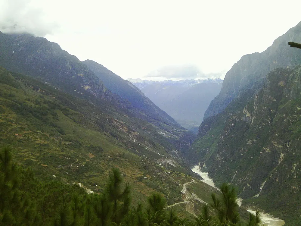
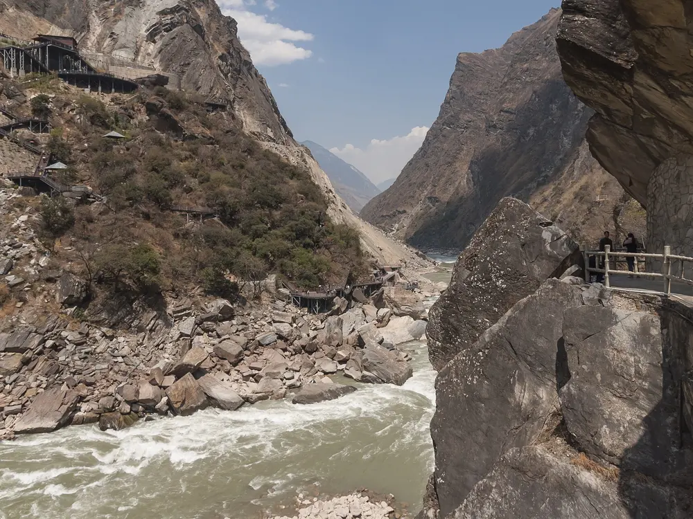
Tiger Leaping Gorge High Trail, Hutiaoxia, between Lijiang and Shangri-La, Yunnan. Photo: Alexander Savin (CC BY 2.0)

China runs from the Tibetan plateau to the granite mountains near its east coast, and its best walks reach across most of that range. These ten go from Tibet and the high valleys of Yunnan and Sichuan to the holy mountains of Anhui and Shaanxi, the sandstone pillars of Hunan, the karst of Guangxi and the Great Wall north of Beijing.

Access is what changes most. The famous mountains sell real-name, timed tickets booked ahead with your passport, trails in the west close after snow or heavy rain, and Tibet can only be visited on an organised tour with permits. For each one you get the distance, the route, the best season, how to get there, the tickets and permits and where to sleep. Every fact comes from the parks, government notices, news reports or the route's own guides, linked at the bottom of the page.

Updated 2026-10-18

  1. 01Tiger Leaping Gorge High TrailHutiaoxia, between Lijiang and Shangri-La, Yunnan
  2. 02Huangshan (Yellow Mountain)Huangshan Scenic Area, Anhui
  3. 03Jinshanling Great WallLuanping County, Chengde, Hebei, on the border with Beijing
  4. 04Yubeng and Meili Snow MountainYubeng village, Deqin County, Yunnan
  5. 05Golden Whip Stream to Yuanjiajie and Tianzi MountainZhangjiajie National Forest Park, Wulingyuan, Hunan
  6. 06Huashan (Mount Hua)Huayin, Shaanxi
  7. 07Mount Kailash koraNgari, Tibet Autonomous Region
  8. 08Milk Lake and Five-Color Lake, YadingYading Nature Reserve, Daocheng County, Garzê, Sichuan
  9. 09Li River walk, Yangdi to XingpingNear Yangshuo, Guangxi
  10. 10Changping Valley, Mount SiguniangMount Siguniang National Park, Xiaojin County, Aba, Sichuan
01 / 10

Tiger Leaping Gorge High Trail

Hutiaoxia, between Lijiang and Shangri-La, Yunnan
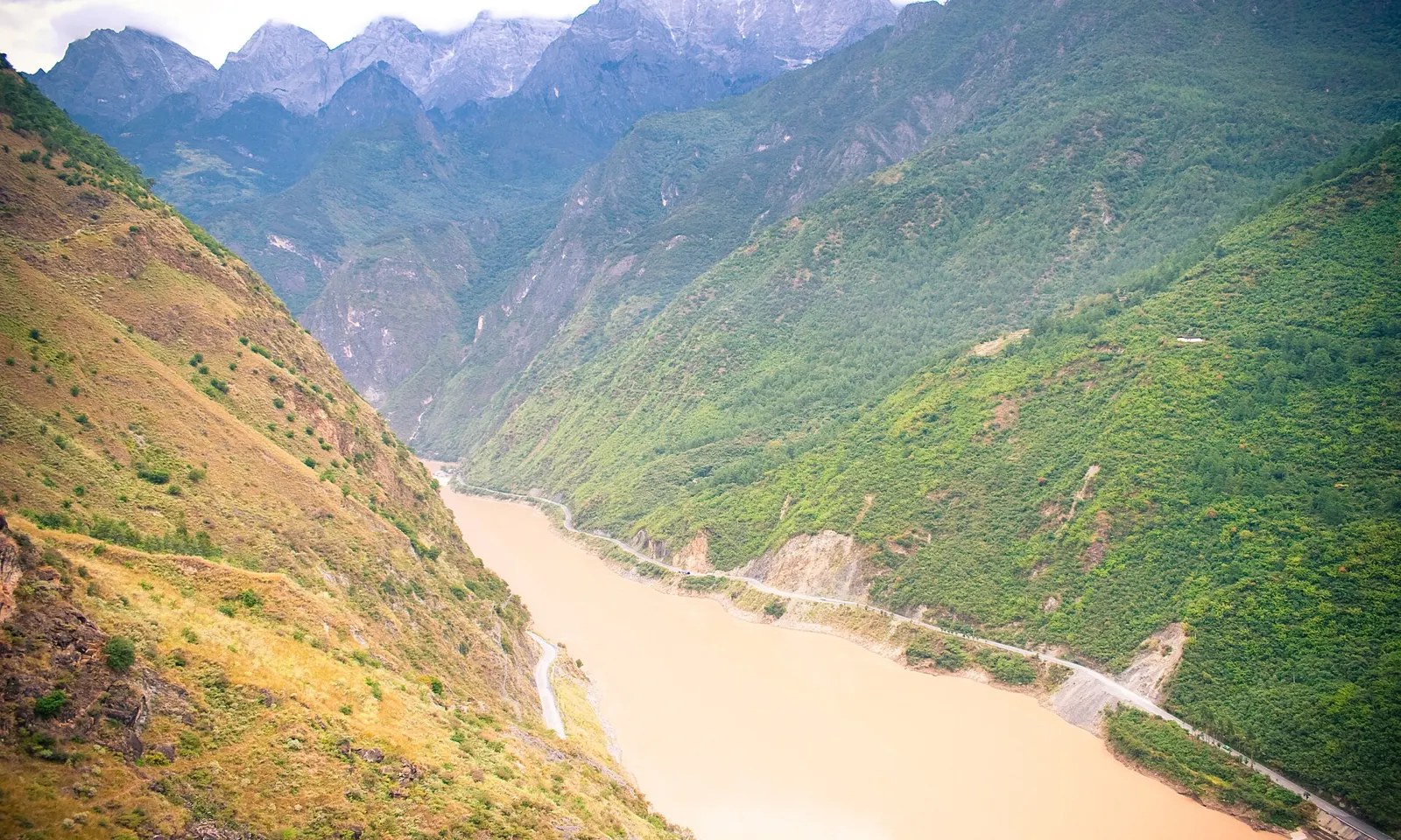
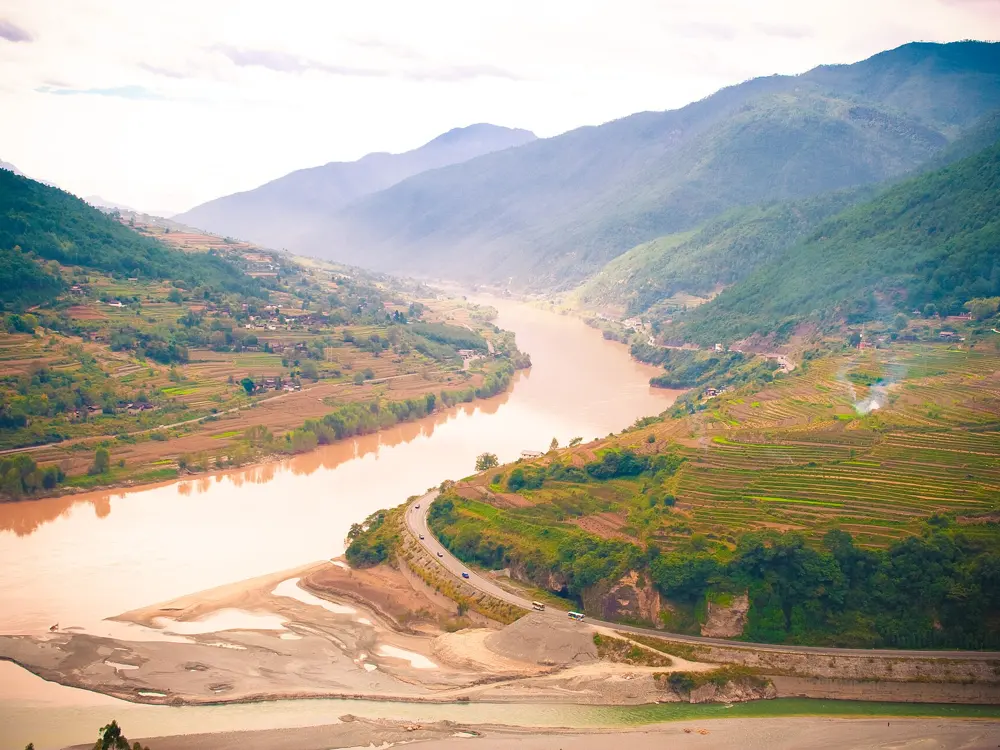
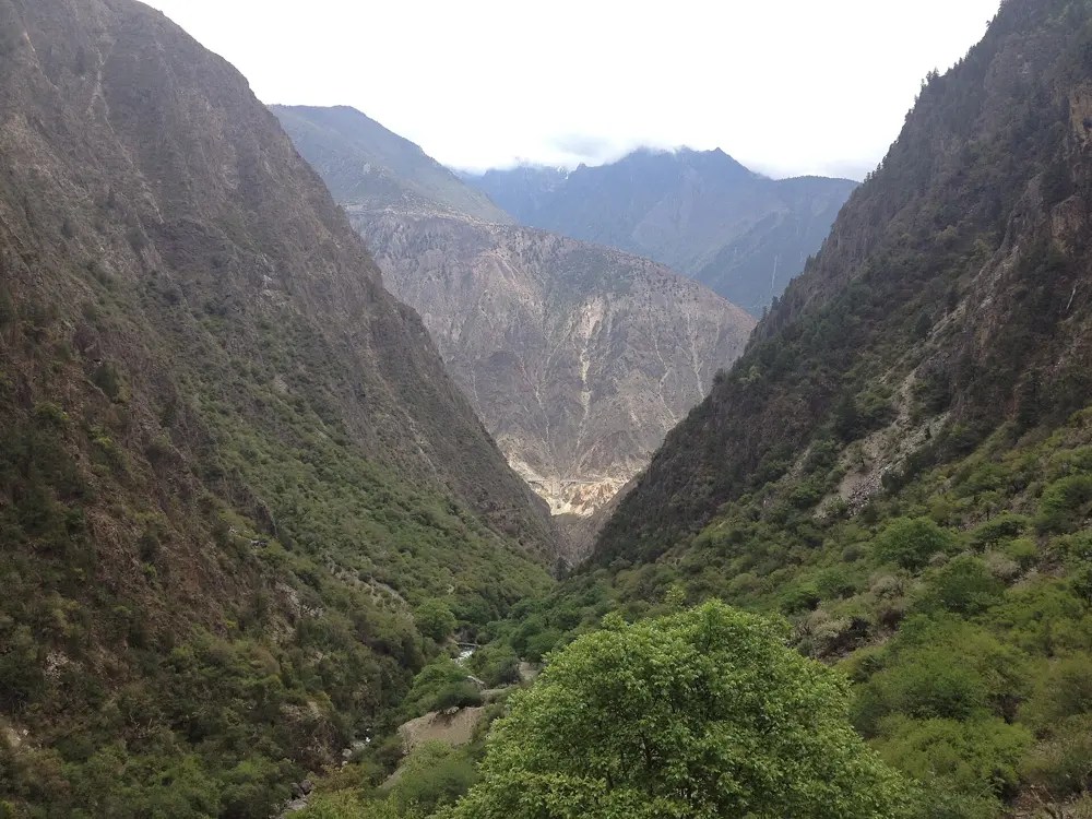
The muddy Jinsha River far below the green walls of Tiger Leaping Gorge

Photos: Alexander Savin (CC BY 2.0), StateStreet (CC BY-SA 3.0), CEphoto, Uwe Aranas (CC BY-SA 3.0), Alexander Savin (CC BY 2.0)

Distance
About 22 km one way
Time
2 days, or 3 at an easy pace
Highest point
About 2,670 m, above the 28 Bends
Season
March to May, September to November

Why go

The Jinsha, the upper Yangtze, squeezes between Jade Dragon Snow Mountain (5,596 m) and Haba Snow Mountain (5,396 m) here, in a gorge about 3,790 m deep from river to summits. The high trail follows the north side for two days, with the river far below. The gorge opened to foreign visitors in 1993 and is part of the Three Parallel Rivers World Heritage Site.

The route

The trailhead has moved about 3 km east of Qiaotou to Changsheng village. The path climbs to the Naxi Family Guesthouse, then up the 28 Bends, the steepest section, to the high point. It contours past the Tea Horse Guesthouse to the Halfway Guesthouse at Bendiwan, the usual first night, and on day two drops steeply to Tina's Guesthouse at the Middle Gorge, where it meets the road. Guardrails were being fitted to the most exposed stretches in May 2026.

When to go

March and April are among the best months, with daytime highs around 20°C. June to September is the rainy season, when landslides sometimes close the gorge. Mid autumn through November is usually dry and sunny, and winter is often clear but cold at night.

Getting there

Buses run from Lijiang to Qiaotou every 30 to 60 minutes and take 2 to 2.5 hours; take your passport to buy a ticket. Buses from Shangri-La also stop at Qiaotou. From the Middle Gorge, buses go back to Lijiang and to Shangri-La, about 2 hours 20 minutes away, and luggage can be left in the bus station building near Tina's.

Permits and booking

No permit is needed. In May 2026 the town government said the high trail is an open route, not a scenic area, and that it had no notice of any charge. Staff selling the 45 yuan Shangri-La side scenic area ticket sometimes board buses on the gorge road, and hikers say enforcement is random. The paths from the Middle Gorge down to the river, including the Sky Ladder and Teacher Zhang's path, closed in 2026 after fatal accidents.

How hard it is

You need reasonable fitness and some hiking experience. Some sections are exposed, and the descent from the Halfway Guesthouse towards Tina's is steep and slippery, so do not come down after dark. Landslides and swollen streams are the main risk in wet weather. A child died in a fall on the trail on 21 February 2026.

Where to sleep

Besides the Naxi Family, Tea Horse and Halfway guesthouses on the first day, there is Tina's at the Middle Gorge, and more places at Walnut Grove further along the road. Expect 60 to 150 yuan a person per night, and message ahead on WeChat or WhatsApp before you leave Lijiang.

Tips

  • Buy food and water in Lijiang or Qiaotou: trail shops may be shut in the low season, and the ATMs in Qiaotou probably take only Chinese bank cards.
  • Porters with horses or mules can be hired to carry you, or just your bag, up the 28 Bends; agree the price first.
02 / 10

Huangshan (Yellow Mountain)

Huangshan Scenic Area, Anhui

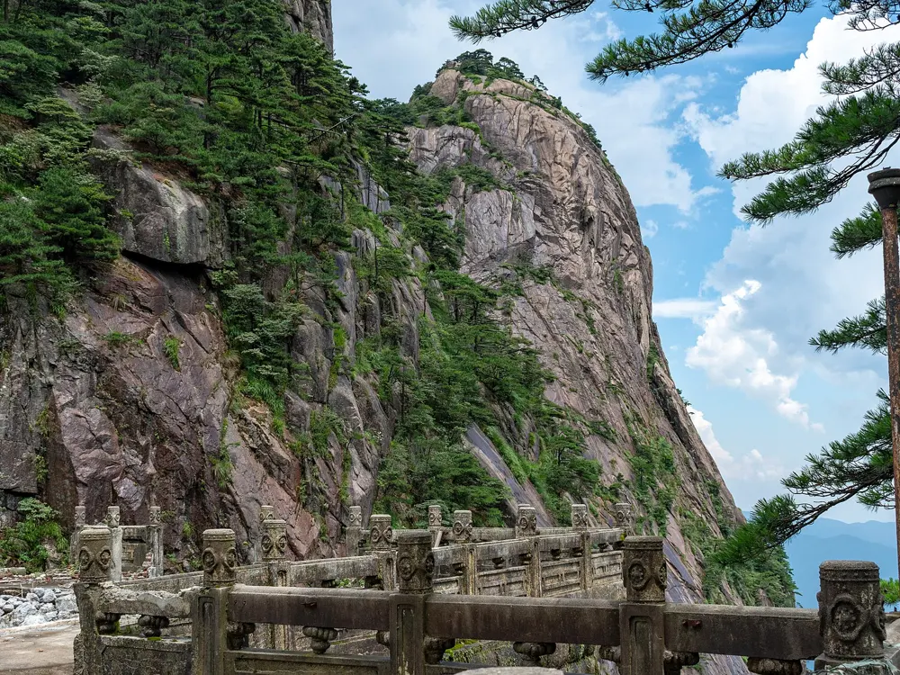
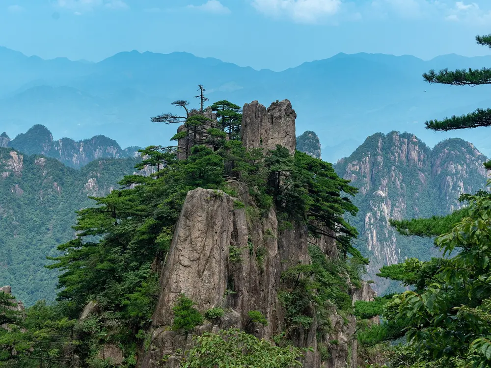
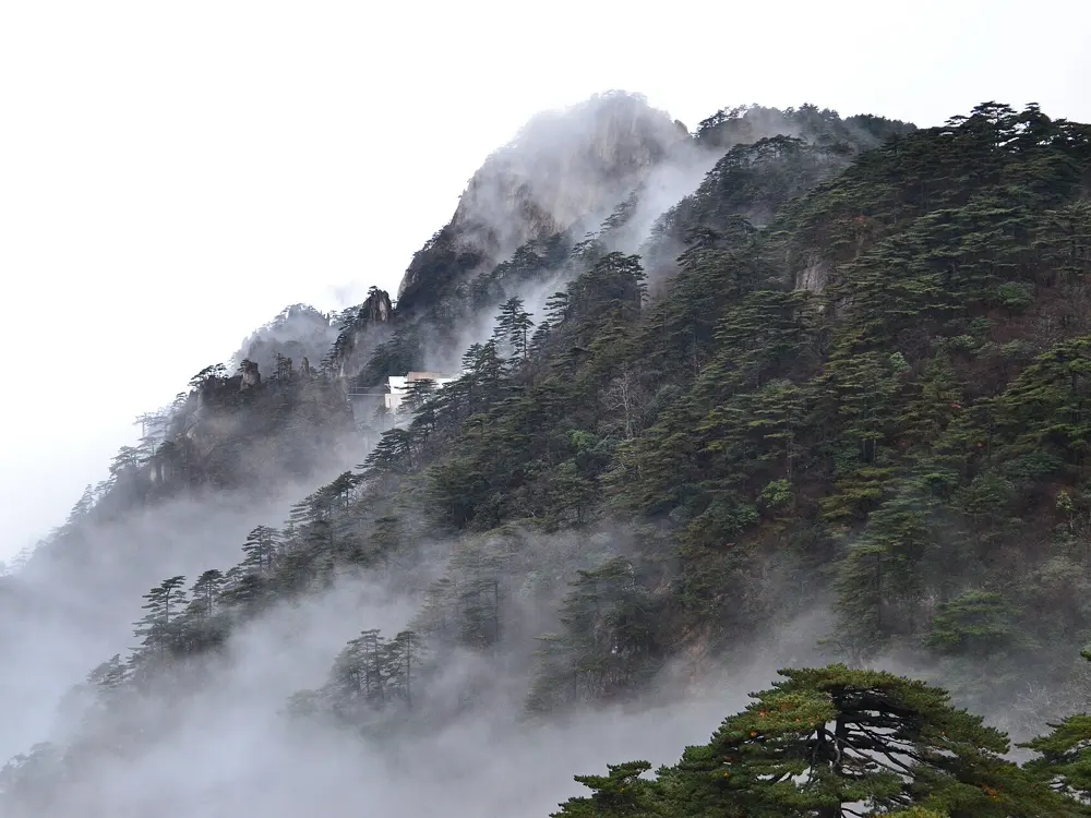
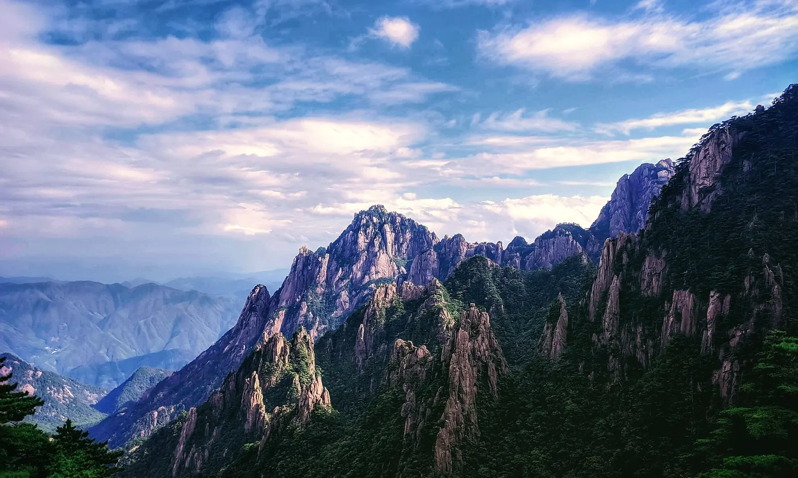
Granite peaks and pines of Huangshan under an evening sky

Photos: Miaulian (CC BY-SA 3.0), xiquinhosilva (CC BY 2.0), xiquinhosilva (CC BY 2.0), 颐园居 (CC BY-SA 4.0)

Distance
About 7.5 km up the Eastern Steps, about 14 km on the Western Steps
Time
3 to 4 hours up the Eastern Steps, 4 to 6 hours on the Western Steps
Highest point
1,860 m, Bright Summit (Lotus Peak, 1,864 m, is closed)
Entry
190 yuan, 150 yuan in the winter season

Why go

Painters and poets have returned to this granite range for centuries, and it has been a World Heritage Site since 1990. Pines grow out of bare rock, and the summit is in cloud on more than 200 days a year, so after rain you often look down on a sea of cloud with the peaks standing out of it.

The route

The classic way is up one side and down the other. The Eastern Steps climb about 7.5 km from near the Yungu cable car to White Goose Ridge. On top, paths lead past Shixin Peak and Beihai to Bright Summit, at 1,860 m the highest point open to walkers. From Paiyun Pavilion you can drop into the Xihai Grand Canyon on steep stairs and ride its cable car back up. The Western Steps, about 14 km from Ciguang Pavilion past the Yuping cable car, are longer and steeper, with the best views. Lotus Peak, the highest summit at 1,864 m, has been closed under a rotation scheme since 1 December 2023, usually for 3 to 5 years.

When to go

The park is open all year. Late autumn and the days after rain give the best cloud seas. In winter the Xihai Grand Canyon and Tiandu Peak usually close from 1 December, and in August 2026 typhoon damage shut them for a time, so check the latest notice. On public holidays entry is timed and the hiking gates stop admitting people at 15:00.

Getting there

Huangshan North station has high speed trains to Shanghai, Beijing and other eastern cities. Buses run on to Tangkou at the foot of the mountain, where a compulsory shuttle climbs to the trailheads.

Permits and booking

Entry is 190 yuan from 21 January to 19 December 2026 and 150 yuan in the winter season, valid for three days in a row. Booking is real name and timed, at least three days ahead, and hotels on the mountain need a ticket first. The official mini program is built around Chinese ID cards, so foreigners usually book through Trip.com or Klook and bring the physical passport. One way cable cars cost 80 to 100 yuan. Tiandu Peak, reopened in May 2024, needs its own booking.
How hard it is

Nothing is technical, but almost every metre is stone stairs, and the Xihai canyon descent is narrow and hard on the knees. Paths are slippery in rain and icy in winter.

Where to sleep

A night on top gives you sunrise and the other route down. Summit hotels such as the Beihai, Shilin and Yupinglou have doubles and some dorm beds. Porters carry everything up, so food costs about twice as much.

Tips

  • Climb the Eastern Steps and come down the steeper Western Steps, with the views ahead of you.
  • Tangkou has plenty of touts; buy tickets and transport only at the official counters in the tourist transport hub.
03 / 10

Jinshanling Great Wall

Luanping County, Chengde, Hebei, on the border with Beijing

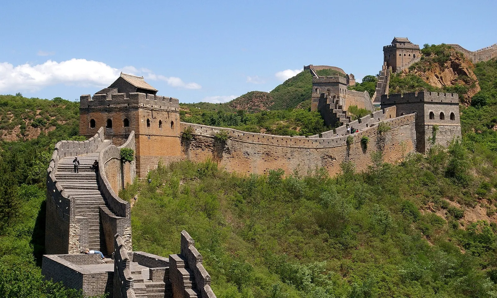
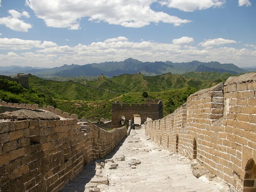
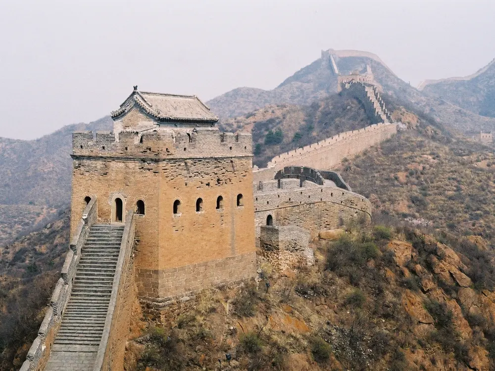
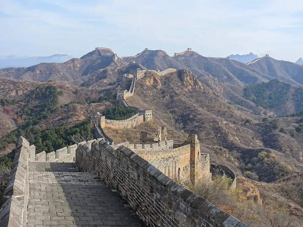
Watchtowers of the Great Wall at Jinshanling climbing a green ridge

Photos: Jakub Hałun (CC BY-SA 3.0), Jakub Hałun (CC BY-SA 4.0), Georgio (CC BY-SA 3.0), Luka Peternel (CC BY-SA 4.0)

Distance
About 7 to 8 km on the classic walk; 10.5 km of wall in all
Time
4 to 4.5 hours for the classic walk
Watchtowers
67, with 5 passes and 3 beacon towers
Season
April to June and September to October

Why go

Jinshanling is a Ming section of the Great Wall about 130 km from Beijing, running 10.5 km along steep ridges from Gubeikou Pass to Wangjing Tower. Its 67 watchtowers differ in materials, tiers and roof shape. The first stretch is restored, and towards the east the wall grows rougher and more original.

The route

The old through-walk to Simatai is no longer possible: the western part of Simatai is closed, and Beijing's tourism authority says hiking between Simatai and Jinshanling is not allowed. What is open is the Jinshanling scenic area. The classic walk climbs from the Middle Gate to Zhuanduokou Pass and follows the wall east past the Small and Big Jinshan Towers and the East Five-window Tower to Houchuankou. Day tours often reverse it from the East Gate, walking west for about 3 hours. A cable car from near the main gate saves the first half hour of climbing.

When to go

September and October are cool, with autumn colour, and April to June is also good. July and August are hot, and afternoon thunderstorms bring lightning risk on the ridge. Winter is very cold and windy.

Getting there

A direct tourist bus leaves Dongzhimen Outer Bus Station in Beijing at 8:00 and takes 2 to 2.5 hours. Or take the S5 train from Beijing North to Gubeikou, about 2.5 hours, then a taxi of about 20 minutes.

Permits and booking

Entry is 65 yuan from 1 April to 31 October and 55 yuan from 1 November to 31 March. The cable car is 40 yuan one way or 60 yuan return. Foreign visitors buy tickets online or at the office with a passport. Stay on open sections: Beijing authorities have warned that trespassing on closed, unrestored wall can bring fines of 200 to 30,000 yuan.

How hard it is

Moderate but steep, with long flights of uneven steps. East of Big Jinshan Tower the wall is repaired only where badly damaged. There is little shade and no toilets on the wall.

Where to sleep

The Jinshanling Great Wall Hotel stands next to the ticket office, and farmhouses and guesthouses nearby charge less. Staying over puts you on the wall for sunrise.

Tips

  • Simatai's eastern side can still be visited separately from Gubei Water Town, booked ahead with a passport.
  • Morning and evening light is best, especially after summer or autumn rain.
04 / 10

Yubeng and Meili Snow Mountain

Yubeng village, Deqin County, Yunnan

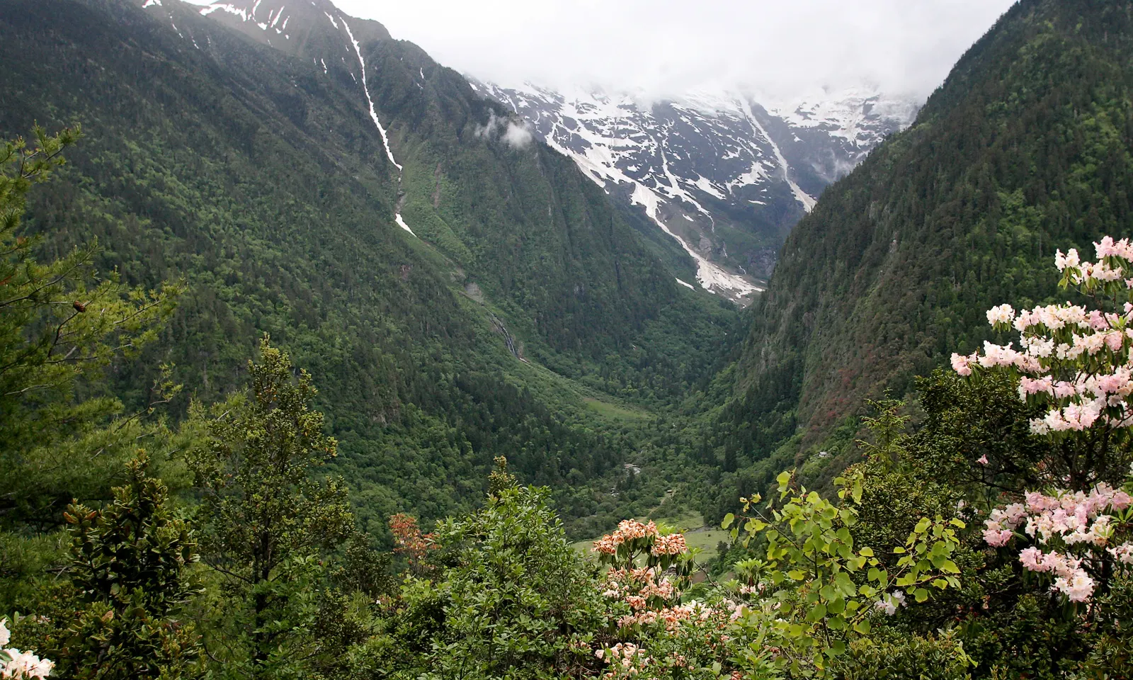
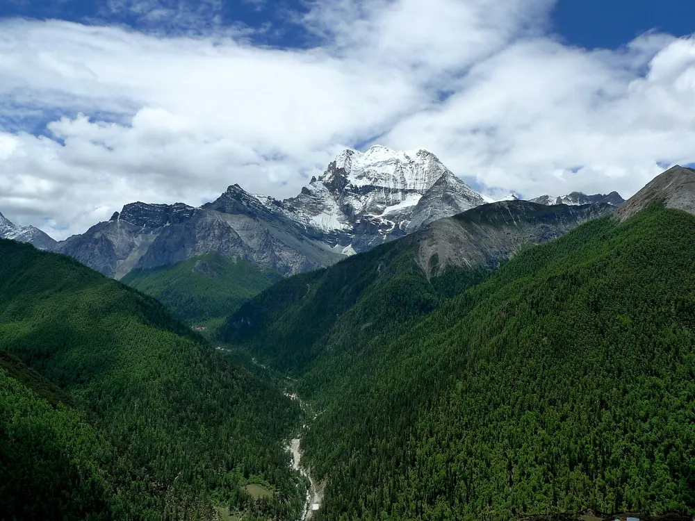
Rhododendrons in flower on the way to Yubeng, with snow peaks at the head of the valley

Photos: kimbridges (CC BY-SA 3.0), christiali (CC BY 3.0), christiali (CC BY 3.0), christiali (CC BY 3.0)

Distance
About 18 km in from Xidang, over a 3,700 m pass
Time
4 to 8 hours to the village, plus 2 or 3 days of side hikes
Village height
About 3,000 m
Ice Lake day
11.4 km return, about 700 m of climbing

Why go

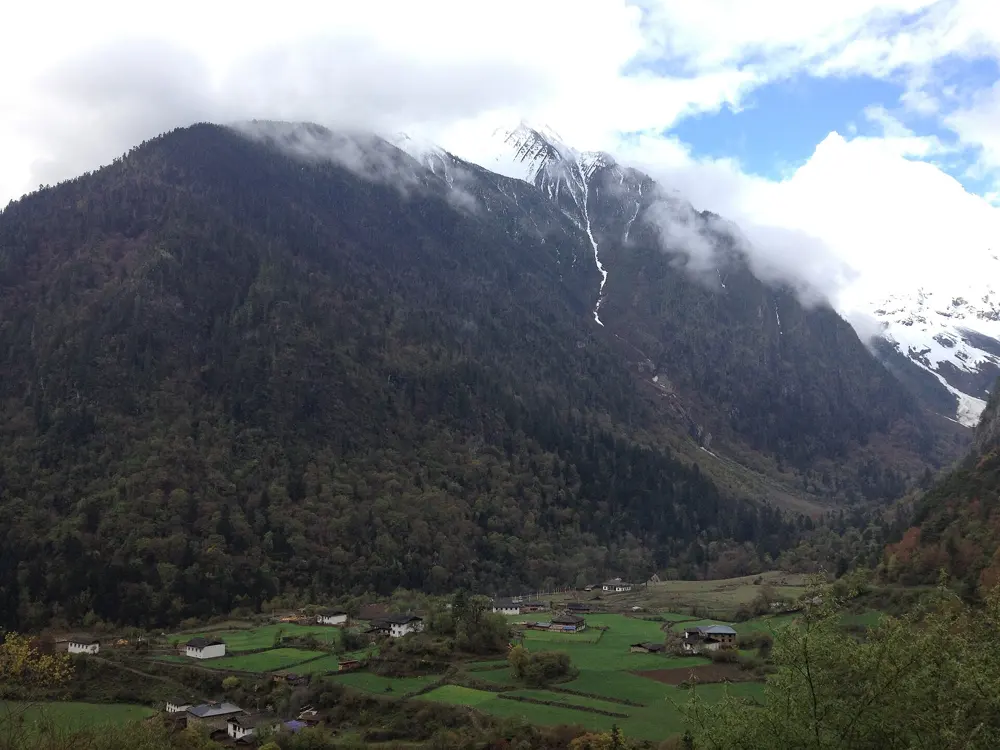
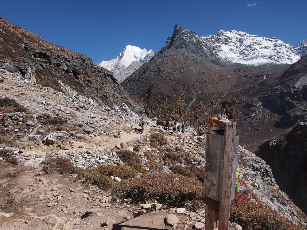
Yubeng is a pair of villages in a valley under the glaciers of the Meili range. Its highest peak, Kawagebo (6,740 m), is the highest mountain in Yunnan and unclimbed: all seventeen members of a 1991 expedition died in an avalanche, and climbing was banned in 2001 for cultural and religious reasons. Yubeng is the heart of the inner pilgrimage circuit around the mountain.

The route

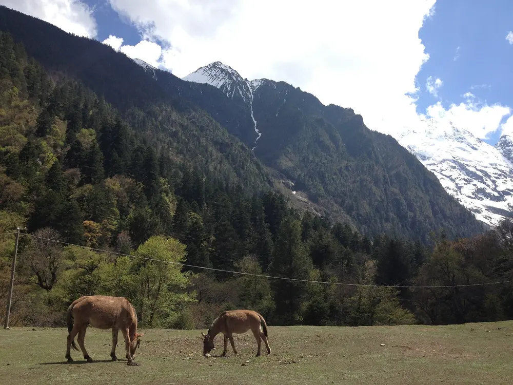
The Xidang trail crosses the Nanzong pass at 3,700 m and drops to Upper Yubeng; the other way in climbs from Ninong through a gorge in 5 to 6 hours. From Lower Yubeng a path climbs to the Sacred Waterfall at about 3,600 m, a 4 to 5 hour outing. From Upper Yubeng a longer path goes through Base Camp to Ice Lake, a glacier lake at about 3,900 m. The Holy Lake path, about 12 km return to around 4,450 m, was made by hikers and is not recognised by the local police.

When to go

October, November, May and June are the best months; summer brings rain and slippery trails. Small avalanches on the Sacred Waterfall path are common from December to May, and the Ice Lake and waterfall paths have closed for a day or more after heavy snow as late as mid April.

Getting there

A direct bus runs from Shangri-La to Ninong, and buses also run from Feilaisi near Deqin. A road from Xidang opened on 22 September 2026, closed to private vehicles: shuttle minibuses run from 07:00 to 18:30, leaving when full, for 117 yuan to the Nanzong pass, 167 yuan to Upper Yubeng and 198 yuan to Lower Yubeng. Park staff now suggest the Ninong route to hikers, as the Xidang trail can share the road at busy times.

Permits and booking

You need the Yubeng scenic area ticket, 55 yuan plus insurance. None of the sources we checked mention a separate permit for foreign visitors. The area closed on 24 February 2025 because of snow and ice, and in February 2026 the extended Holy Lake route was shut after hikers were trapped in an area that is not open. Climbing the Meili peaks is banned.

How hard it is

The walk in is a long day at altitude, so carry food and water. On the Ninong route a cliff section can be windy in the afternoon and motorbikes share the path; it is not for anyone with a fear of heights. The final scramble to Ice Lake can be dangerous in winter.

Where to sleep

More than 50 hotels and guesthouses were open in October 2026, and camping is now allowed, at about 60 yuan a day. Beds sell out and prices jump over the National Day holiday in early October.

Tips

  • Stay off the Ice Lake and Holy Lake paths in the snow season; the authorities advise against them and want hikers on the Sacred Waterfall path.
  • Reach the Sacred Waterfall in the morning, when the spray is most likely to throw a rainbow.
05 / 10

Golden Whip Stream to Yuanjiajie and Tianzi Mountain

Zhangjiajie National Forest Park, Wulingyuan, Hunan

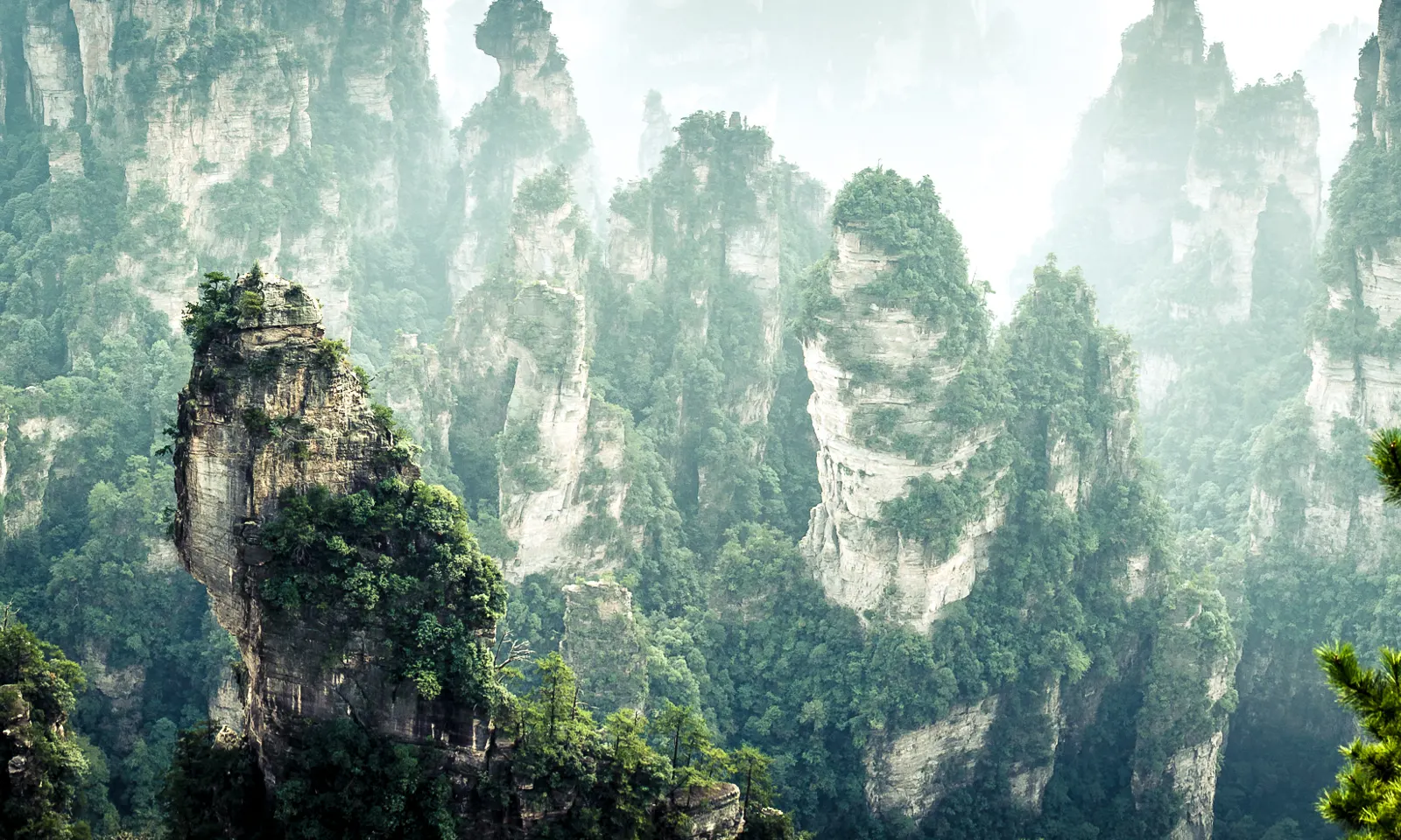
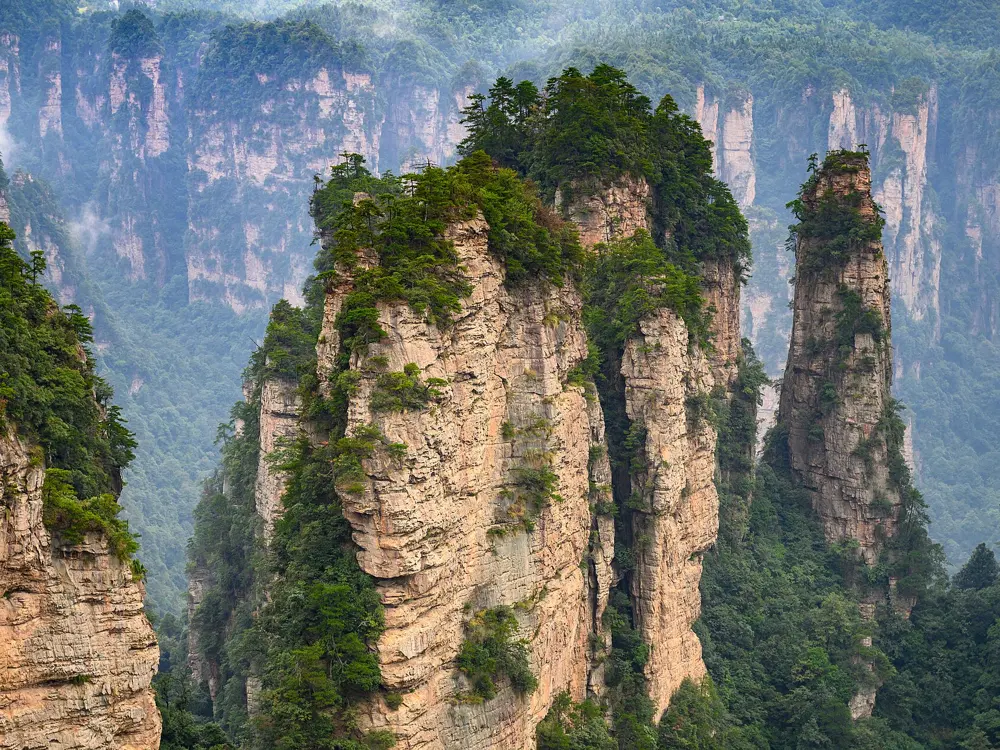
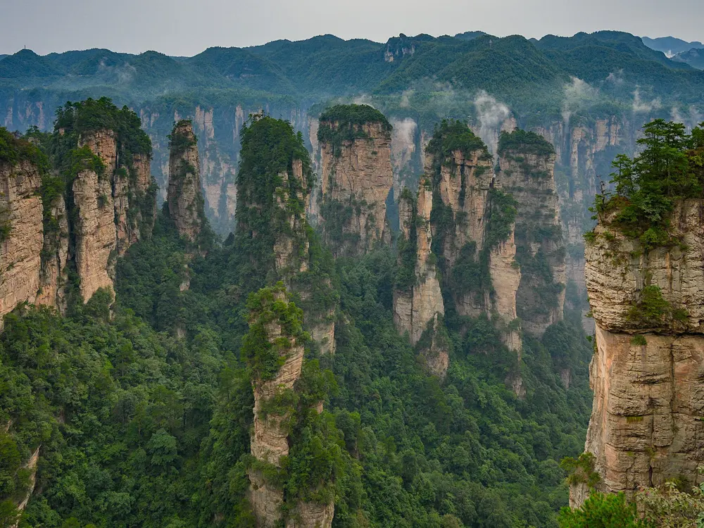
Sandstone pillars of Zhangjiajie rising out of mist and forest

Photos: Carlos Adampol Galindo from DF, México (CC BY-SA 2.0), xiquinhosilva (CC BY 2.0), xiquinhosilva (CC BY 2.0), xiquinhosilva (CC BY 2.0)

Distance
7.5 km along Golden Whip Stream, one way, before the climb
Time
2 to 3 hours for the stream; the ticket is valid for 4 days
Highest bridge
About 350 m, the natural stone bridge at Yuanjiajie
Season
Spring and autumn

Why go

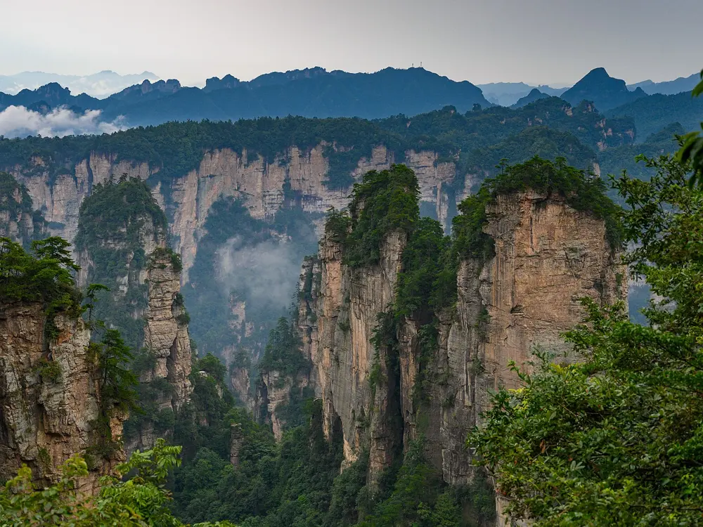
Zhangjiajie became China's first national forest park in 1982, and the wider Wulingyuan area was made a World Heritage Site in 1992 for its more than 3,000 sandstone pillars and peaks, many over 200 m tall. From the valley floor they rise straight out of the forest, and from the plateau rim you look down on them through drifting cloud.

The route

Golden Whip Stream runs 7.5 km through a valley of pines and cliffs on a paved, almost flat path, from near the south gate, signed at Grand Oxygen Bar Square, to Shuirao Simen, where three streams meet. To walk up rather than ride, take the staircase at the marker Getting Together From Far Away, which climbs steeply for a few hours. At the top, Yuanjiajie has the natural stone bridge called the First Bridge Under Heaven and the Southern Sky Column, renamed Avatar Hallelujah Mountain in 2010. Eco buses link the plateau stops, so Tianzi Mountain can follow the same day or another.

When to go

Spring and autumn are best. Most rain falls from May to August, when town highs reach about 39°C, though the mountains are 5 to 10°C cooler. In the summer holidays more than 10,000 people a day walk the stream.

Getting there

Trains arrive at Zhangjiajie West station. From Zhangjiajie Central Bus Station, tourist bus Line A reaches the Forest Park gate in about 40 minutes, and Line B the Wulingyuan gate. A coach shuttle also runs from the West station exit to the Wulingyuan ticket gate in about an hour.

Permits and booking

One ticket covers the core Wulingyuan area for four consecutive days with re-entry. The price has changed often, so check it on the official booking channels. Entry is real-name, and foreign visitors register with their passport. Cable cars and the Bailong Elevator cost extra.

How hard it is

The stream path is easy, though slippery after rain. The climb to Yuanjiajie is long and steep, on stone steps throughout, and the plateau adds more stairs. Monkeys along the stream will grab food left in view.

Where to sleep

Most walkers stay in Wulingyuan town, a short walk from the entrance, where a Hampton by Hilton is within walking distance of the East Gate. Little English is spoken in the hotels.

Tips

  • Free eco buses only link stops on the same level, so moving between valley and plateau means stairs, a cable car or the Bailong Elevator.
  • The Bailong Elevator queue is long at peak times but short after about 4 in the afternoon.
06 / 10

Huashan (Mount Hua)

Huayin, Shaanxi

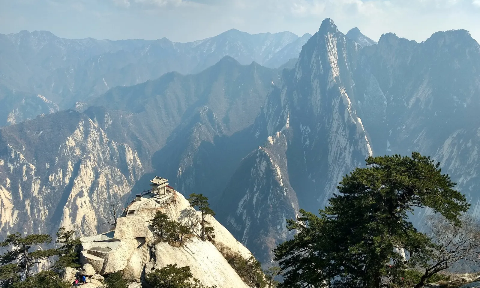
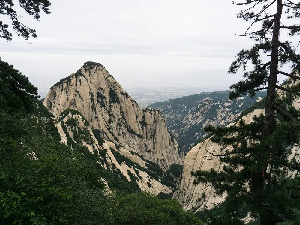
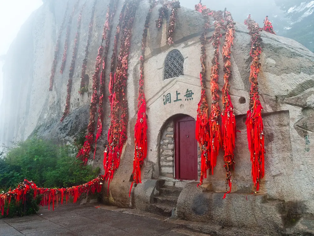
The Chess Pavilion on a granite outcrop below the peaks of Huashan

Photos: May Wung (CC BY-SA 4.0), Alexey Komarov (CC BY-SA 4.0), Alexey Komarov (CC BY-SA 4.0), Raffaele Nicolussi (CC BY 3.0)

Distance
About 6 km from Huashan village to North Peak, then the ridge paths to the other peaks
Time
7 to 10 hours for the one day circuit of the peaks
Highest point
About 2,155 m, South Peak
Entry
160 yuan, March to November; 100 yuan in winter

Why go

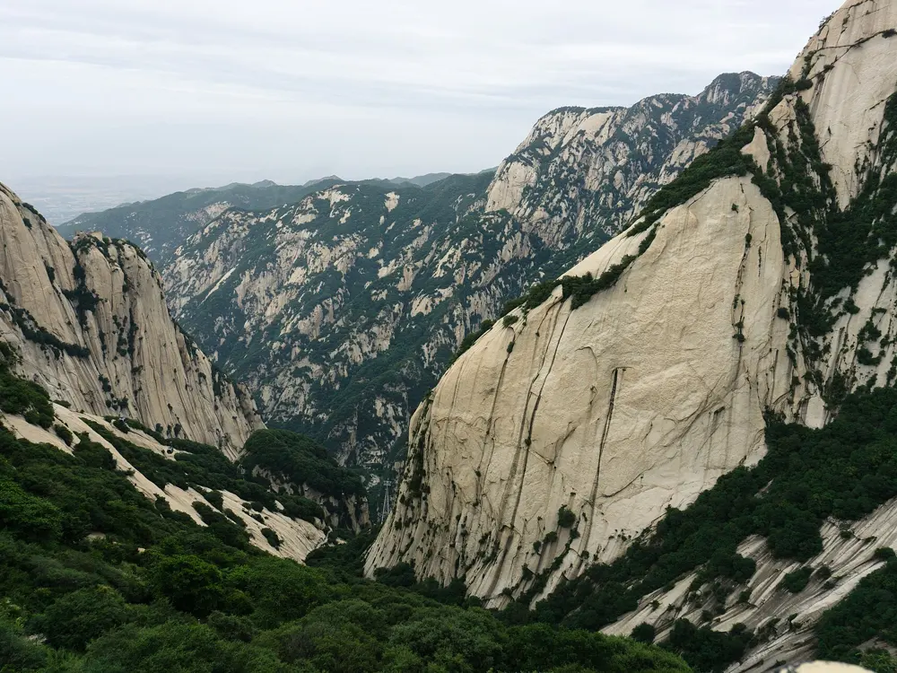
Huashan is the western of China's five great mountains and a Daoist holy place, with a shrine at its foot by the 2nd century BC. Its five granite peaks rise about 120 km east of Xi'an, joined by paths cut into cliffs and along narrow ridges, with chains for handholds.

The route

The traditional climb is the Huashan Yu, a gorge path first made in the 3rd and 4th centuries AD, which runs about 6 km from the Jade Spring Temple to North Peak. The upper half holds the hard pitches: the Thousand Foot Precipice, more than 300 narrow steps between rock walls with chains on both sides, then the Hundred Foot Crevice. From North Peak the path follows Black Dragon Ridge, no more than a metre wide in places, to Golden Lock Pass, where it branches to the East, Centre, South and West peaks. The Plank Walk in the Sky, boards bolted to a cliff below South Peak, is an out and back detour.

When to go

Autumn has the steadiest weather. The mountain closes in high wind, snow and heavy rain: the peak area shut from 4 August 2026 after days of rain. Autumn 2026 reports say the plank walk closed for repairs on 15 September with no reopening date, so check first.
Getting there

High speed trains from Xi'an reach Huashan North station in about 33 to 45 minutes. A taxi from the village to the gate is cheap, and shuttle buses run to the North and West cable cars.

Permits and booking

Entry is 160 yuan from March to November and 100 yuan from 1 December to the end of February; shuttles and cable cars are extra. Tickets are real name and timed, booked ahead through the official Huashan WeChat account or sites such as Trip.com, with no ordinary ticket window at the gate. Foreigners need the physical passport. The plank walk, when open, needs a 30 yuan harness and is not allowed alone.

How hard it is

The climb is long and steep, and the Thousand Foot Precipice and Black Dragon Ridge are exposed. Every step is slippery when wet. Plank walk queues can run 2 to 4 hours in peak season.

Where to sleep

Guesthouses on the East, West, North and Wuyun peaks have shared rooms of 4 to 10 beds, with no showers. Many people climb overnight for sunrise on East Peak; in winter the hiking gate stays open 24 hours.

Tips

  • A common plan is up the Huashan Yu, across the peaks and down by the West Peak cable car, which costs about 140 yuan in summer.
  • For a night climb, carry a torch, spare batteries and warm layers, as the paths branch in the dark and East Peak is cold before dawn.
07 / 10

Mount Kailash kora

Ngari, Tibet Autonomous Region

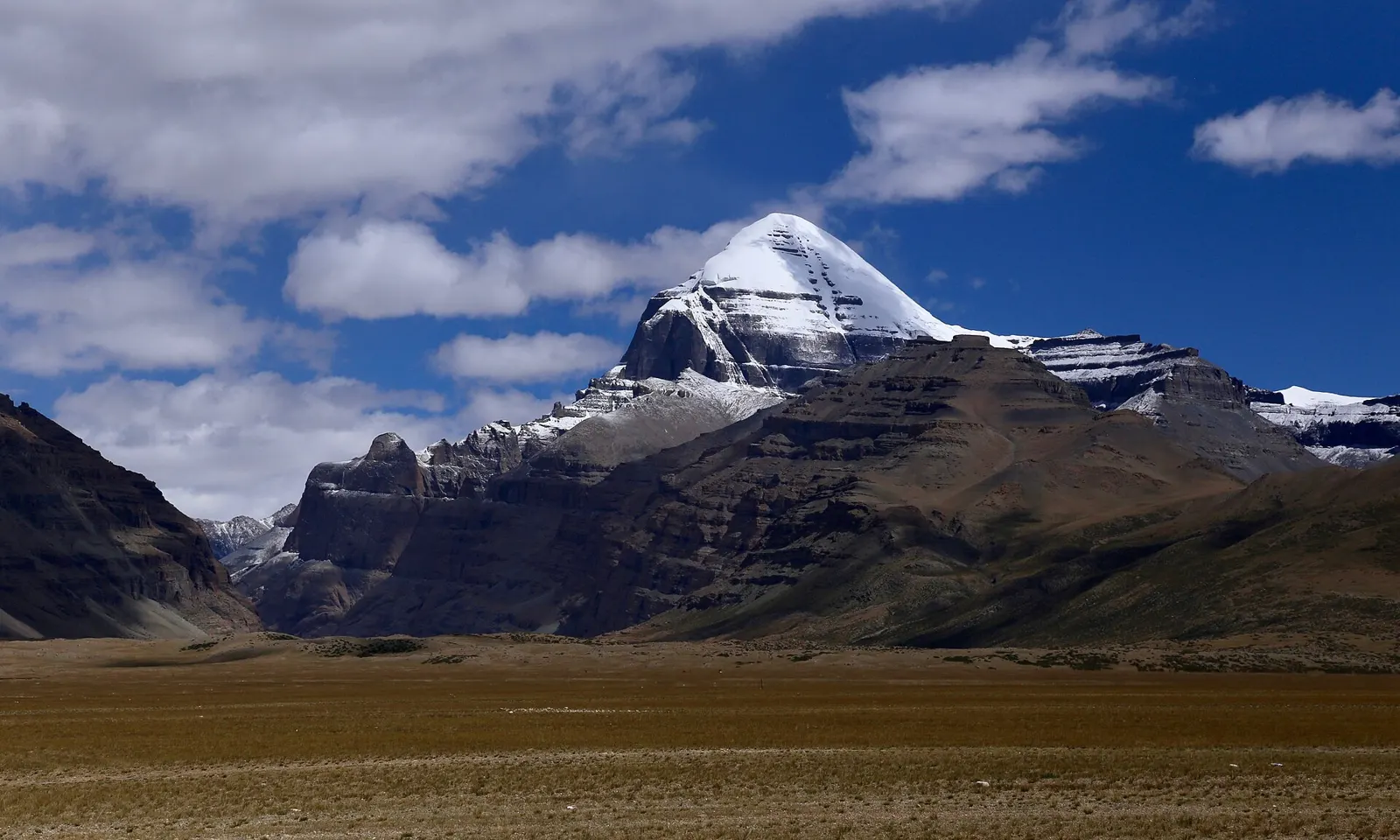
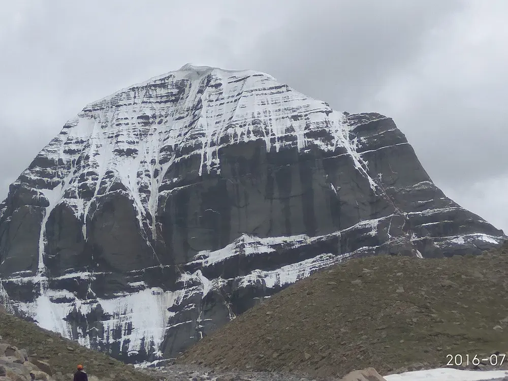
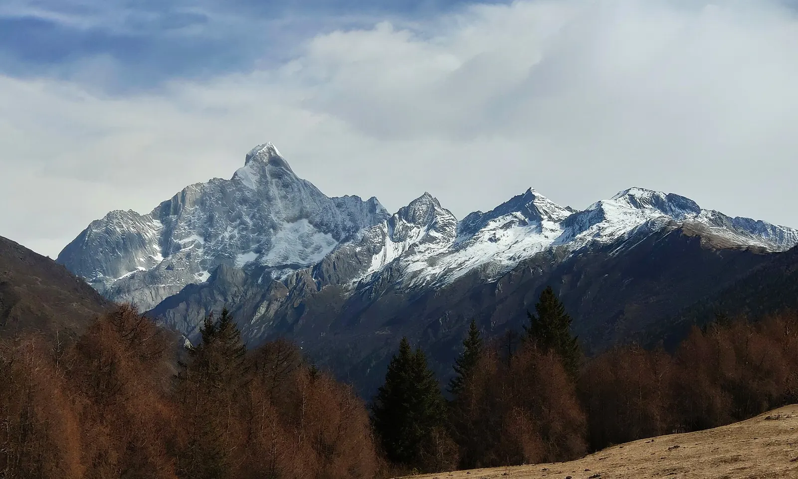
The snow-capped summit of Mount Kailash above the Barkha plain

Photos: Jean-Marie Hullot (CC BY-SA 4.0), Jean-Marie Hullot (CC BY-SA 4.0), Amitbalani (CC0), Varun Bhoopalam (CC BY-SA 4.0)

Distance
About 52 to 53 km loop
Time
About 3 days
Highest point
About 5,630 to 5,650 m, Drolma La
Start and finish
Darchen, about 4,670 m

Why go

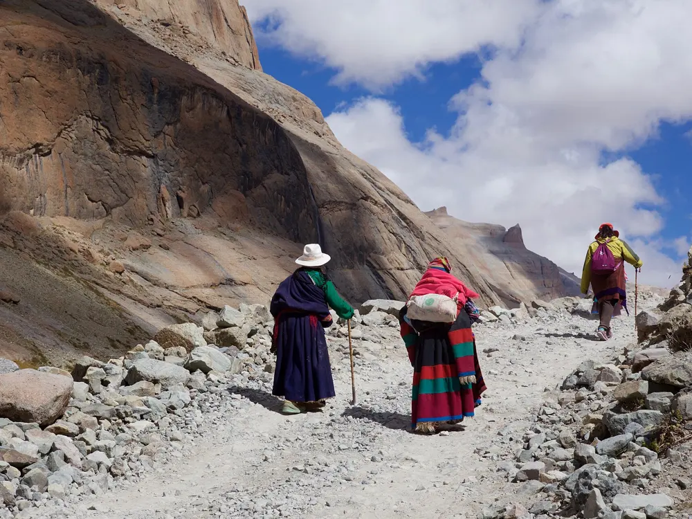
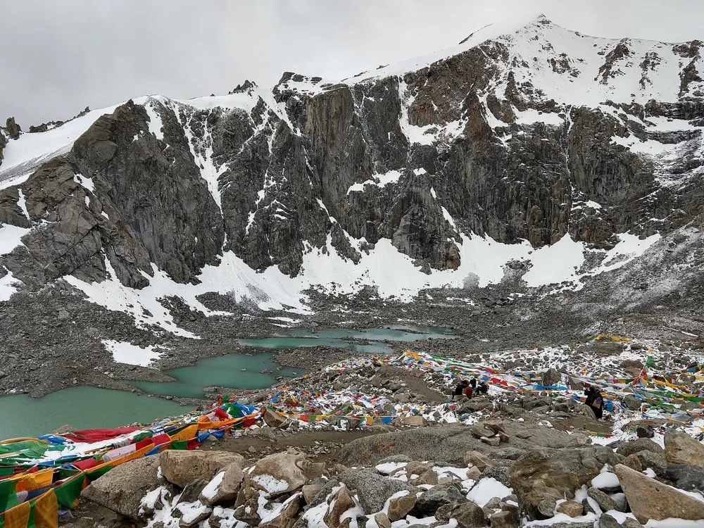
Kailash, or Kang Rinpoche, is a 6,638 m peak in far western Tibet, sacred to Hindus, Buddhists, Jains and followers of Bon, and climbing it is forbidden. Pilgrims walk around it instead, clockwise or, for Bon, anticlockwise, and some make the whole circuit in prostrations, which takes about three weeks.

The route

The kora starts and ends at Darchen. Day one climbs gently up a broad valley to Dirapuk monastery, facing the north face. Day two climbs steeply to the Drolma La, the high point, then drops past small sacred lakes to Zutulpuk monastery. Day three follows a long, easy valley back to Darchen by early afternoon.

When to go

May to September is the most settled time. From the end of October to April the kora is closed by weather. Saga Dawa, which in 2026 ran from 17 May to 15 June, brings the biggest crowds, and 2026 is a Horse year, the most sacred for the circuit.

Getting there

Overland from Lhasa, through Shigatse and Saga, takes about seven days including time to acclimatise. Ngari Burang Airport, opened in December 2023 and 12 km from Burang town, has Tibet Airlines flights from Lhasa. The crossings from Nepal were closed in 2026 after floods, Kyirong indefinitely as of September.

Permits and booking

Foreigners need a Chinese visa or visa free entry, a Tibet Travel Permit, an Alien's Travel Permit for Ngari and a military permit, all arranged by a licensed agency, and must travel on an organised tour; independent travel is not allowed. Permits are checked at Saga, Paryang and Darchen. Tibet has usually closed to foreigners for part of February and March since 2008, though it stayed open in March 2026, and the UK government warns that permits are sometimes stopped without notice. Indian citizens can apply at kmy.gov.in for the government Kailash Manasarovar Yatra, which in 2026 ran from June to August in 20 batches of 50, via Lipulekh and Nathu La. In June 2026 the Ministry of External Affairs told Indians on private tours through Nepal not to leave India without their Chinese visa and permits.

How hard it is

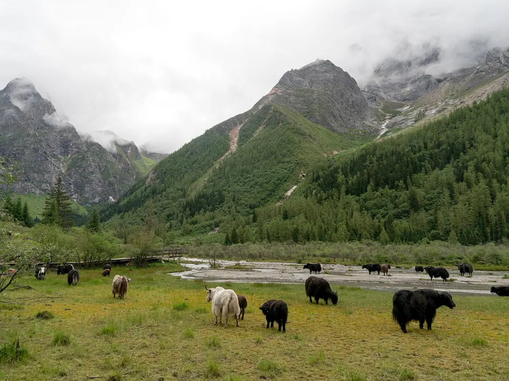
The path is not technical, but it starts at about 4,670 m and the climb to the Drolma La is steep and exhausting at that height. Yaks, ponies and porters can be hired in Darchen.

Where to sleep

Darchen has basic guesthouses with little heating. On the kora, Dirapuk and Zutulpuk monasteries have dormitory rooms without showers, the only fixed beds on the circuit.

Tips

  • Book early if you want to walk at Saga Dawa, or choose another month to avoid the crowds.
  • Carry cash for the kora fee, paid in Darchen, and for the separate Lake Manasarovar fee, and ask your agency whether they are included.
08 / 10

Milk Lake and Five-Color Lake, Yading

Yading Nature Reserve, Daocheng County, Garzê, Sichuan

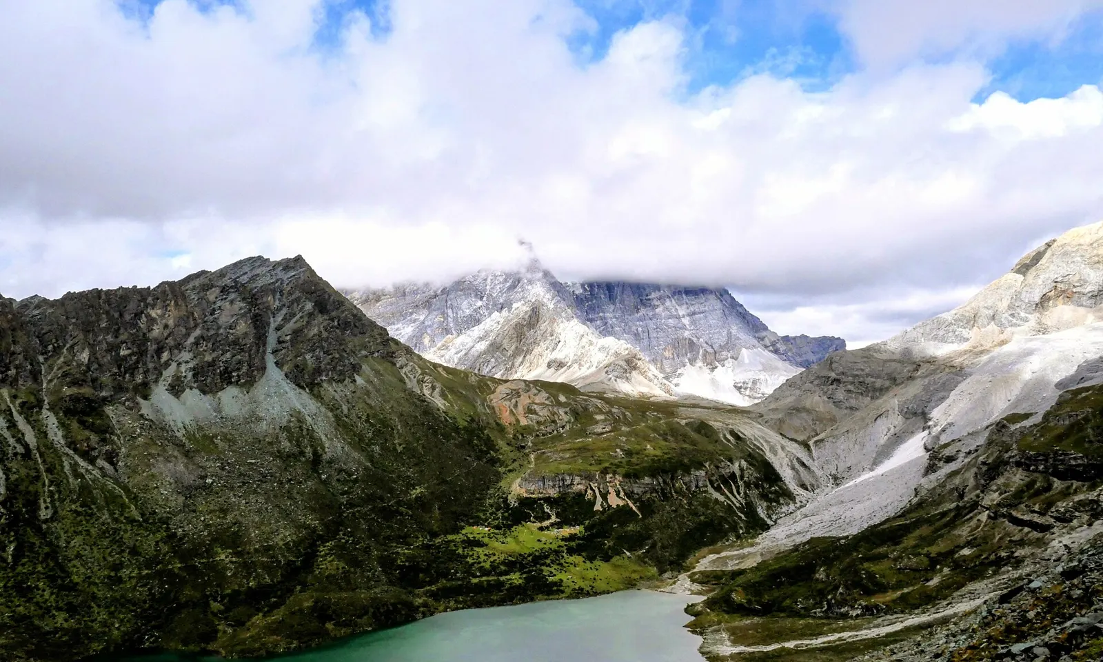
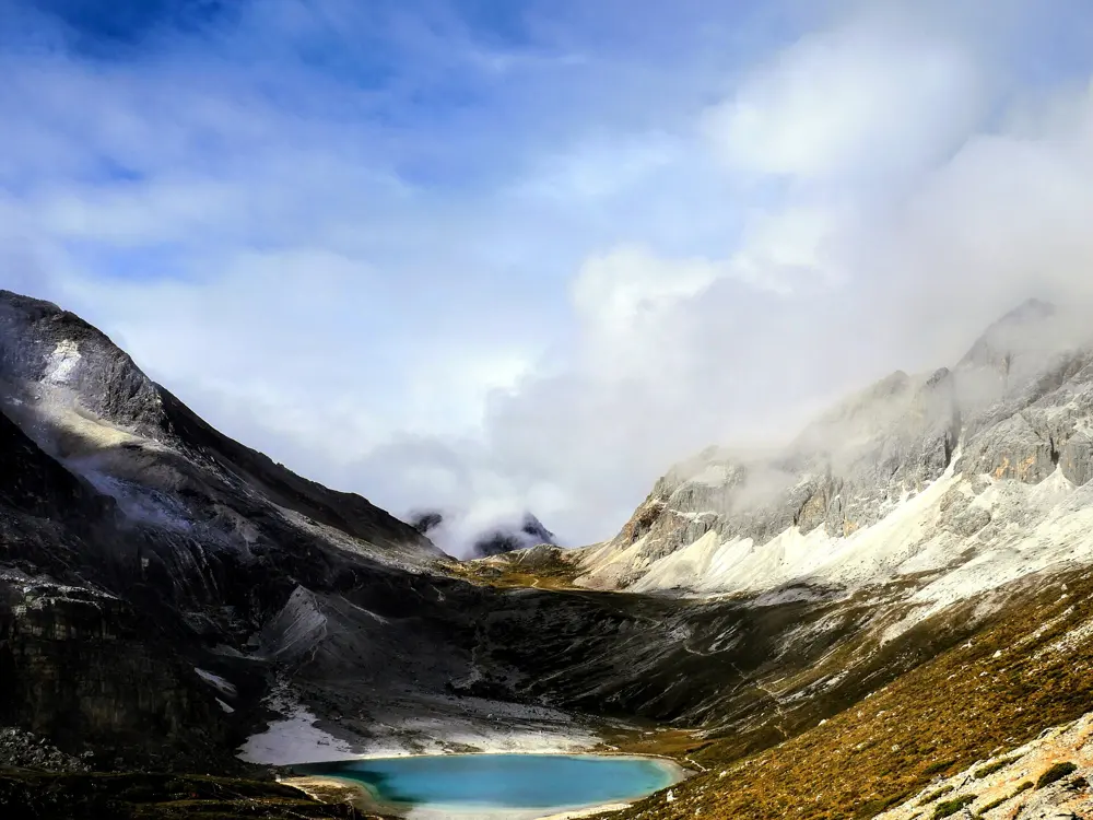
A turquoise lake below snow-streaked peaks in Yading

Photos: Izeberg007 (CC0), rheins (CC BY 3.0), Izeberg007 (CC0), Toni Wöhrl (CC BY-SA 4.0)

Distance
About 10 to 11 km return from Luorong Pasture
Time
3 to 4 hours up from Luorong to Milk Lake
Elevation gain
About 400 m
Season
Late September to October

Why go

Yading is a reserve of 1,344 square kilometres in the Tibetan prefecture of Garzê, rising to 6,032 m. Its three holy peaks, consecrated by the 5th Dalai Lama, are seen by Tibetans as emanations of bodhisattvas. The classic day walk climbs from the yak meadows of Luorong to Milk Lake and Five-Color Lake, two glacial lakes held in bowls between the peaks.

The route

From Chonggu Monastery an electric cart runs about 20 minutes up the valley to Luorong Pasture, below the sheer face of Jampelyang, or you can walk the 6 km of boardwalk. From Luorong the trail runs about 5 km to Milk Lake, flat at first, then steep on steps and dirt path. Five-Color Lake lies about 0.5 km beyond and above, under Chenresig. Return the same way.

When to go

Late September and October are best, with autumn colour peaking in mid October, though 1 to 7 October is the busiest week of the year. Late April to early June is the next best time. Avoid the rain of July and August and the snow from December to April. Staff turn walkers back from the lakes from about 14:00.

Getting there

Daocheng Yading Airport is about an hour's flight from Chengdu and 48 km from Daocheng town. From Daocheng, shared vans reach Riwa, also called Shangri-La Town, in about 1.5 hours. Private cars cannot enter the reserve: a compulsory shuttle bus runs from the gate to Yading village and on to Chonggu.

Permits and booking

No Tibet permit is needed; ordinary entry to China is enough. Entry needs a real-name reservation in advance, and foreign passports can be used to book through the official WeChat mini-programme, then checked at a staffed window in the visitor centre. Entry is free with a reservation from 1 August to 31 October 2026; otherwise it costs 146 yuan from April to November and 120 yuan in winter. Shuttle and cart fares have been suspended since 29 May 2026, pending a cost review. Foreigners have sometimes found western Sichuan harder to enter in spring, so check before you go.

How hard it is

Altitude is the real difficulty. The climb is only about 400 m, but all of it is above 4,000 m, and sources put the lakes between 4,480 m and 4,700 m. The lakes are holy to Tibetans, so do not wade in them or walk on their ice, and camping before the lakes is not allowed.

Where to sleep

Yading village, at about 3,900 m, is the only lodging inside the reserve and the closest to the trails, but rooms cost 400 yuan or more from August to October. Riwa, at about 2,900 m, is the better first night after flying in, and Daocheng town has the widest choice.

Tips

  • Ponies cover about 3.5 km from Luorong, leaving the last 1.5 km on foot. In season the queue forms before 07:30.
  • Oxygen cans are sold in Daocheng pharmacies and from vending machines in the park.
09 / 10

Li River walk, Yangdi to Xingping

Near Yangshuo, Guangxi

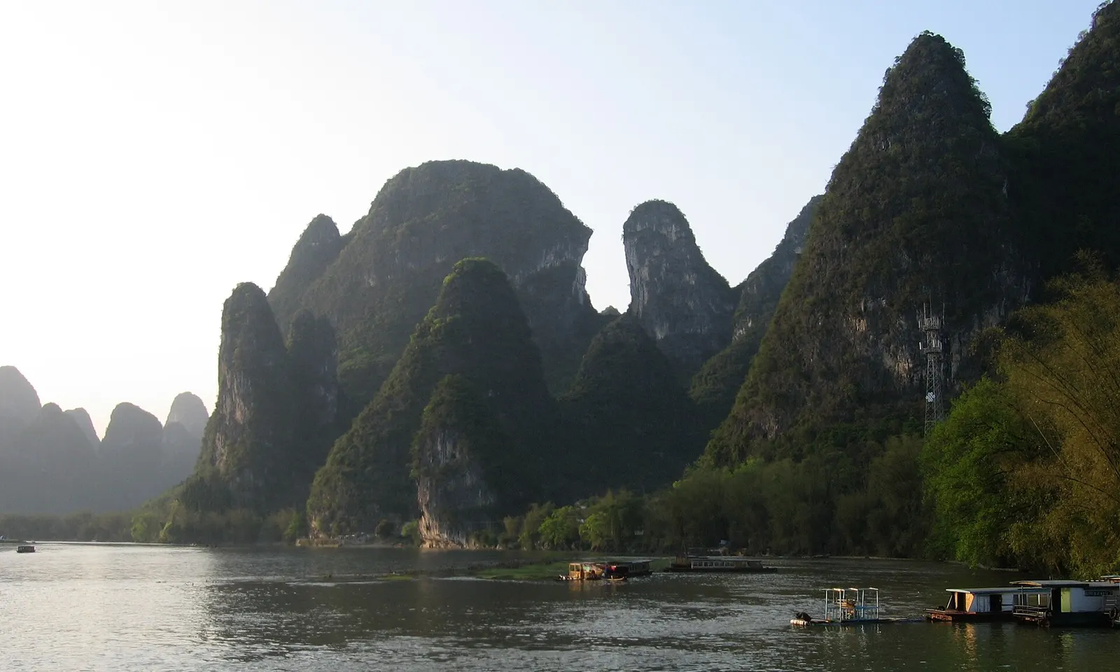
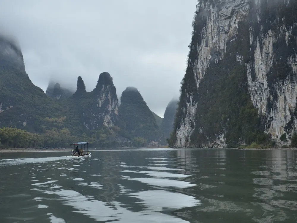
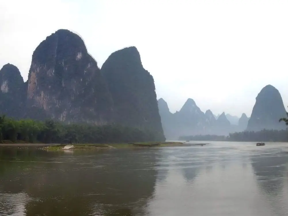
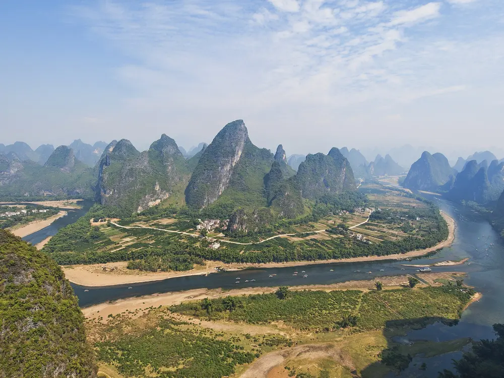
Karst peaks above the Li River at Xingping

Photos: Chinatravelsavvy (CC BY-SA 3.0), ReeveJ (CC BY-SA 3.0), Emitchan (CC BY-SA 3.0), chensiyuan (CC BY-SA 4.0)

Distance
About 18 to 24 km one way
Time
6 to 8 hours with stops
River crossings
3 or 4, by small boat
Season
October and November are best

Why go

Between Yangdi and Xingping the Li River winds through the best known stretch of the Guilin karst, and the riverbank scene just outside Xingping is the one printed on the 20 yuan note. Most visitors see it from a cruise boat. On foot you follow the shore past farms, bamboo and small villages, with long quiet spells between the rafts.

The route

The path runs south from Yangdi pier on pebble beaches, farm tracks and short paved stretches, crossing the river by boat where cliffs meet the water. It is about 4.9 km to Langshi village, then 3 km to Quanjiazhou and another 3 km to Nine Horse Fresco Hill. From there it is 30 to 40 minutes to Lengshui, and about 5 km more into Xingping. Huangbu, the 20 yuan note view, is about 15 minutes south of Lengshui.

When to go

October and November are dry and clear, in the low to mid 20s °C. March and April bring morning mist and some rain. Rain is heaviest in late spring and summer, with June averaging around 300 mm in Yangshuo, and floods then can cover the path and stop the ferries.

Getting there

Buses run from Guilin South Bus Station to Yangdi in about an hour, and minibuses from Yangshuo take about 90 minutes. From Xingping, buses return to Yangshuo every 20 to 30 minutes, and Yangshuo (Xingping) station has high speed trains to Guilin in about 30 minutes.

Permits and booking

No ticket or permit is needed to walk, according to a 2026 hiking guide, and the boats are the only fixed cost: about 5 yuan at Yangdi, 5 to 10 yuan at Langshi and 10 to 15 yuan at Lengshui. The Quanjiazhou boat runs irregularly, so ring the number posted at the pier or ask locals. Xinhua reported in February 2026 that the scenic area's managers plan to improve the riverside routes, so details may change.

How hard it is

There is little climbing, but the footing is mostly loose stones and broken rock, with some washed out stretches. Between Langshi and Quanjiazhou the path crosses open farmland and is easy to lose.

Where to sleep

Xingping has hostels and small hotels, including some by the pier, which makes it the easier base for an early start. Camping at Nine Horse Fresco Hill costs a local fee of 10 to 20 yuan.

Tips

  • Leave Yangdi by 8 or 9 in the morning, because the Lengshui ferry stops at 5 pm.
  • Carry cash for the boats and water for the day, though there are some food and drink sellers along the way.
10 / 10

Changping Valley, Mount Siguniang

Mount Siguniang National Park, Xiaojin County, Aba, Sichuan

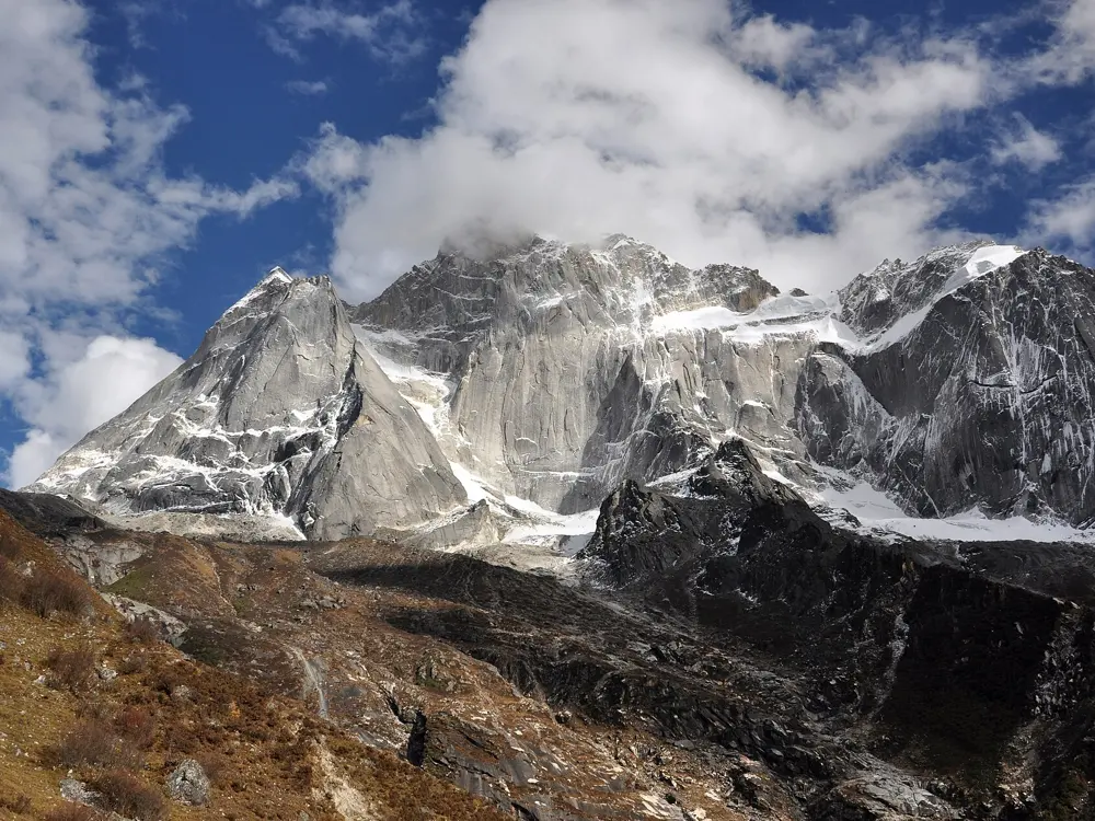
The snowy summits of Mount Siguniang above autumn forest

Photos: Johannes Böckh (CC BY-SA 3.0), George N (CC BY 2.0), Kogo (CC BY-SA 3.0 de), George N (CC BY 2.0)

Distance
About 20 km or more return, Lama Temple to Muluozi
Time
7 to 8 hours return to Muluozi
Highest point
About 3,650 to 3,700 m at Muluozi
Season
April to November

Why go

Yaomei Feng, the main summit of Mount Siguniang, reaches 6,250 m and is the highest peak of the Qionglai range, in Aba prefecture. The park around it became part of the Sichuan Giant Panda Sanctuaries World Heritage Site in 2006. Changping, the middle of its three valleys, is the classic walk: a long, gentle valley of forest, river and meadow leading to the foot of Yaomei's west face.

The route

A park bus runs about 10 minutes from the tourist centre at the east end of Rilong to Lama Temple, at about 3,400 m. A boardwalk then runs 7 km up the valley past Kushutan, the dead tree beach, to Lower Ganhaizi. Above it a horse trail continues to Muluozi, the meadow below Yaomei's west face, where day walkers turn back; sources put it 10 to 15 km from Lama Temple. The valley runs on for about 28 km in all, but going beyond Muluozi means camping.

When to go

April to November is the high season. Late September to November brings the clearest skies, with autumn colour from late October. Summer is the wettest time and the upper trail turns muddy. Heavy snow in February and March can close routes above 3,800 m.

Getting there

Rilong, also called Siguniangshan town, is about 232.8 km and a little over four hours by road from Chengdu. Buses for Xiaojin leave from Chadianzi Bus Station in Chengdu and stop at Rilong, and shared taxis make the trip too.

Permits and booking

No permit is needed for a day walk, and we found no report of Aba being closed to foreigners in 2025 or 2026. Entry is 70 yuan from April to November and 50 yuan in winter, plus 20 yuan for the bus, and last entry has been 14:30 since 1 April 2026. Agencies report that the online ticket system does not accept foreign passports, so be ready to buy at the tourist centre or through an agency. Staying overnight needs a permit arranged through a local company, a park-approved guide and porter, and an extra 150 yuan, and is allowed only from 10 April to 31 October.

How hard it is

The boardwalk is level and easy, and the horse trail above Ganhaizi is rockier and muddy after rain. The climb is gradual but starts at 3,400 m. The park bus stops at about 17:30, so set off early for Muluozi.

Where to sleep

There are no hotels in the park. Rilong, at about 3,200 m, is the base for all three valleys. Camping at Ganhaizi or Muluozi needs the overnight permit and guide, and winter nights can fall below minus 10 degrees.

Tips

  • For a shorter day, walk the flat boardwalk to Kushutan, about 3.5 km each way and around three hours there and back.
  • Horses with a local handler can be hired by Lama Temple; one guide gives 480 to 680 yuan, depending on distance.

Sources

Distances, heights, seasons and permit rules were checked against these pages. Rules change, so check the park or trail authority before you go.