Rungs Labs

Rungs Pilgrimage · Hikes · Russia

The 10 Best Hikes in Russia

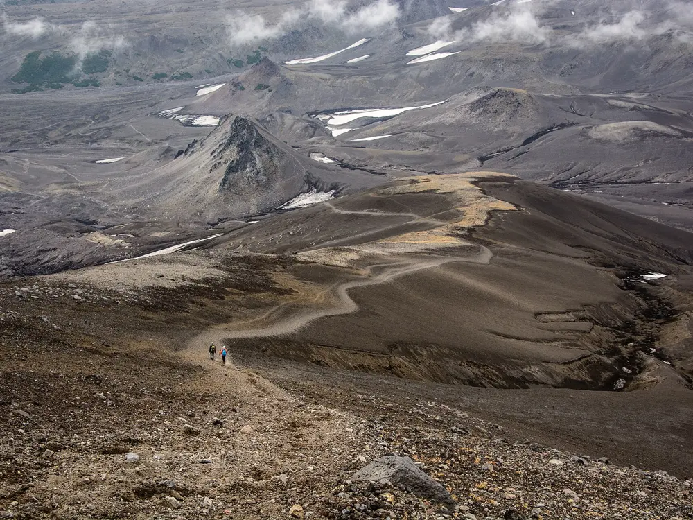
Avachinsky volcano ascent, Avachinsky Pass, Kamchatka Krai. Photo: kuhnmi (CC BY 2.0)

Russia's best walking is spread across eleven time zones. These ten run from the volcanoes of Kamchatka and the shore of Lake Baikal to the Altai under Belukha and the granite of the Western Sayan, then west to the Urals, the Arctic tundra of the Kola Peninsula and the Caucasus, from the pastures below Fisht to the slopes of Elbrus.

Getting there is harder than it was. The UK advises against all travel to Russia and the US rates it Level 4, Do Not Travel. Visa and Mastercard cards issued abroad do not work in Russia, so bring cash. The 30 day e-visa is open only to citizens of an approved list of countries, which leaves out the UK and the US, and border zones need a pass from the FSB border service before you go. Many parks also want an online permit and a route filed with the MChS rescue service. For each hike you get the distance, the route, the best season, how to get there, the permits and where to sleep. Every fact comes from the parks, government notices, news reports or the route's own guides, linked at the bottom of the page.

Updated 2026-10-18

  1. 01Avachinsky volcano ascentAvachinsky Pass, Kamchatka Krai
  2. 02Akkem valley to Akkem Lake under BelukhaBelukha Nature Park, Ust-Koksa District, Altai Republic
  3. 03Great Baikal Trail, Listvyanka to Bolshie KotyPribaikalsky National Park, Irkutsk Oblast
  4. 04Route 30, Through the mountains to the seaCaucasus State Biosphere Reserve, Adygea and Krasnodar Krai
  5. 05Ergaki: Lake Raduzhnoye and the Hanging StoneErgaki Nature Park, Western Sayan, Krasnoyarsk Krai
  6. 06Shavla Lakes trekNorth Chuya range, Kosh-Agach District, Altai Republic
  7. 07Khibiny traverse, Imandra to KirovskKhibiny National Park, Kola Peninsula, Murmansk region
  8. 08Taganay: Dvuglavaya Sopka and the Stone RiverTaganay National Park, Zlatoust, Chelyabinsk region
  9. 09Sofia Lakes and Sofia waterfallsArkhyz, Karachay-Cherkessia
  10. 10Terskol to the Maiden's Braids waterfall and Pik Terskol observatoryPrielbrusye National Park, Baksan valley, Kabardino-Balkaria
01 / 10

Avachinsky volcano ascent

Avachinsky Pass, Kamchatka Krai
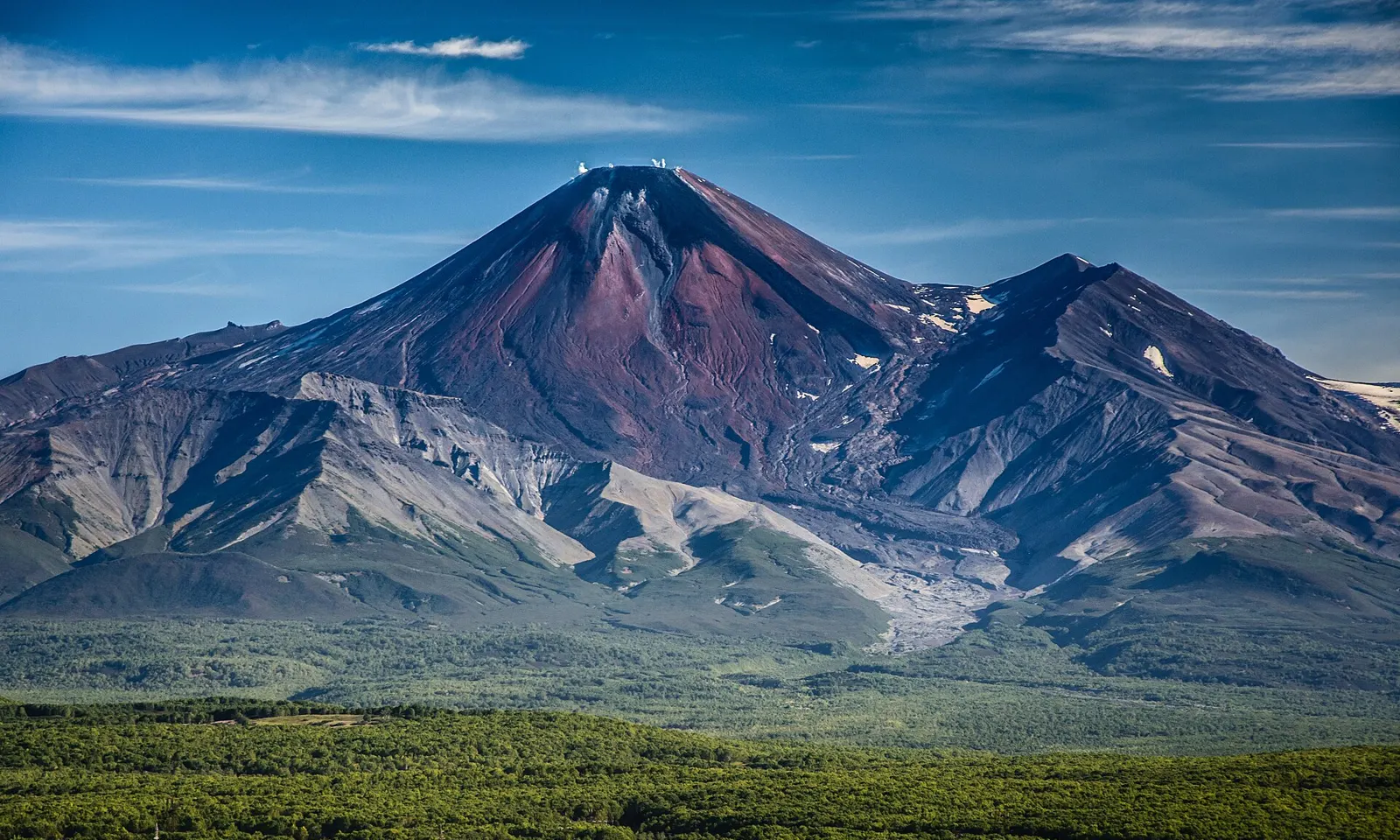
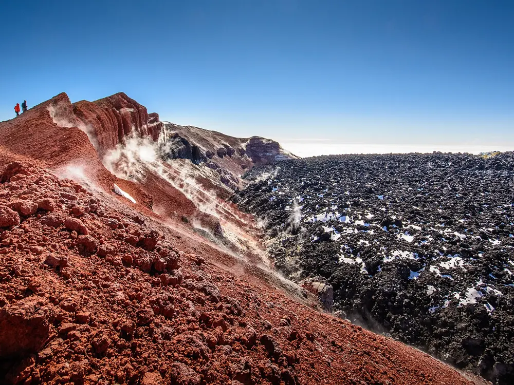
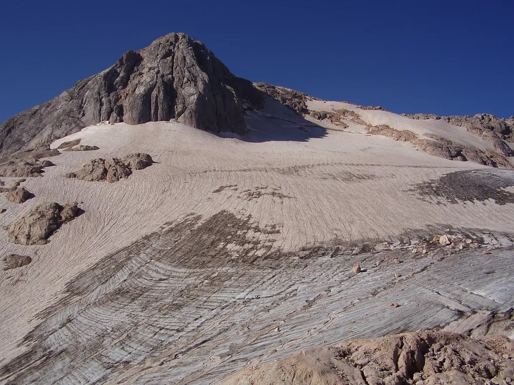
The dark red cone of Avachinsky volcano above green forest and the ash slopes of the pass

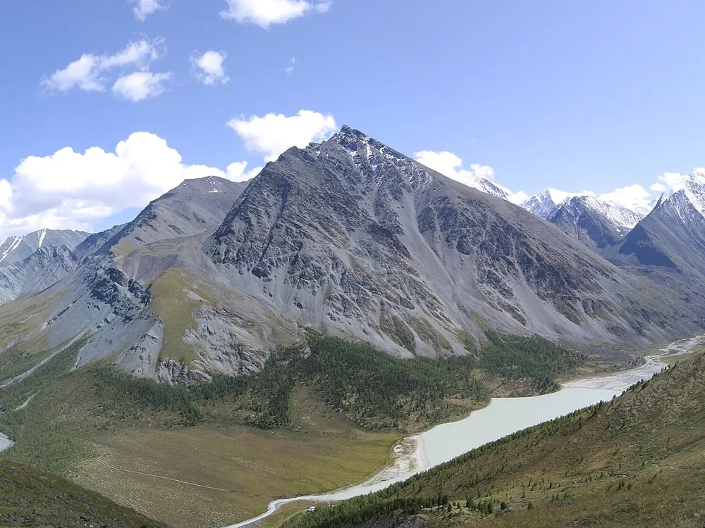
Photos: kuhnmi (CC BY 2.0), kuhnmi (CC BY 2.0), kuhnmi (CC BY 2.0), Giorgio Galeotti (CC BY 4.0)

Distance
About 8 to 9 km each way
Time
6 to 8 hours up, 3 to 4 hours down
Highest point
2,741 m, the crater rim
Start and finish
Avachinsky Pass base, about 900 m

Why go

Avachinskaya Sopka is the active volcano in plain sight of Petropavlovsk-Kamchatsky, and in summer it is the one Kamchatka volcano a fit walker can climb in a day without technical gear. It last erupted in October 2001, and a lava plug from 1991 fills the crater, where fumaroles steam and leave yellow sulphur. From the rim on a clear morning you look across to Koryaksky and down to Avacha Bay and the Pacific.

The route

Most people sleep at a base on the saddle between Koryaksky and Avachinsky, at about 900 m, and start early. The path crosses slag fields and the gully of the Sukhaya river, then climbs the western slope onto the crest of an older, collapsed volcano. Groups usually rest near 2,000 m before the young cone, where the slope reaches about 30 degrees on loose ash and a fixed rope helps over the last 100 m below the rim. The descent follows the same line.

When to go

Organised ascents run from early July to mid September. Snow covers the pass from late November to mid June, and wet snow can lie on the route even in July. Aim to reach the top before about 1 pm, as cloud often covers the cones after that. In mid October 2026 the park was closing its summer routes for the off season.

Getting there

Fly to Yelizovo airport, about 30 km from Petropavlovsk-Kamchatsky. The pass is about 30 km from Yelizovo: tarmac first, then a park barrier and about 16 km up the bed of the Sukhaya river, which needs a 4x4 with a driver who knows the way. Allow 90 minutes to 2 hours; the riverbed is sometimes washed out after rain.

Permits and booking

The Avachinsky Pass is a free visiting zone of the Volcanoes of Kamchatka nature park, so no park permit is needed to climb from it. Routes that continue into Nalychevo park need a permit, issued through gosuslugi41.ru, the park's Green Button app, by email or at the Yelizovo office, and the Nalychevo cordons charge 500 roubles per person. The park strongly recommends that independent walkers register their route with the Kamchatka emergencies service (MChS), which can be done online at mchs.gov.ru.

How hard it is

Hard for a day walk: a long climb of about 1,850 m on loose ground, though not technical in summer. Weather turns fast here. In April 2026 a winter group that split up on its way to the pass lost two members.

Where to sleep

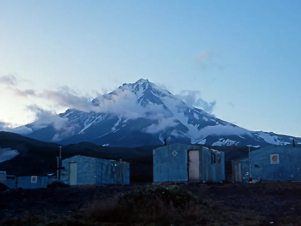
The saddle has commercial alpine huts, including the Avacha base and Three Volcanoes, where most tour groups spend the night before the climb. Otherwise stay in Yelizovo or Petropavlovsk-Kamchatsky and leave before dawn.

Tips

  • Check the volcano's current alert level with KVERT, the Kamchatka volcanic eruption response team, before you go.
  • Carry gloves and a warm layer for the windy rim, and gaiters or old shoes for the ash on the way down.
02 / 10

Akkem valley to Akkem Lake under Belukha

Belukha Nature Park, Ust-Koksa District, Altai Republic

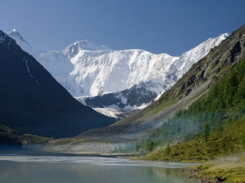
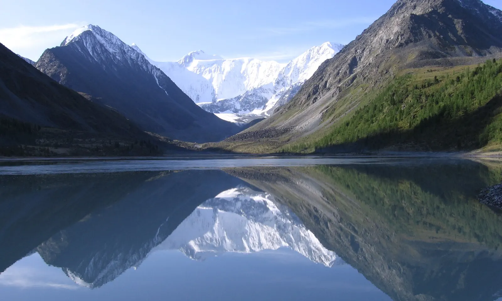
The north face of Belukha reflected in Akkem Lake

Photos: Andreyle (CC BY-SA 4.0), Andreyle (CC BY-SA 4.0), Марина Родионова (CC BY-SA 4.0), Instaler (CC BY-SA 4.0)

Distance
About 38 km each way on the Akkem trail
Time
2 to 3 days each way
Akkem Lake
About 2,050 m
Season
July and August are best

Why go

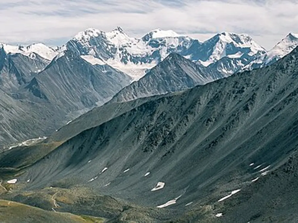
Belukha, at about 4,506 m the highest mountain in Siberia, stands on the border between Russia and Kazakhstan, and its north face rises straight above Akkem Lake. The lake is grey with silt from the Akkem glacier and has no fish. It is a nature monument inside Belukha Nature Park, created in 1997, and part of the massif belongs to the Golden Mountains of Altai World Heritage Site.

The route

Almost every route to the lake starts in the village of Tyungur. The direct Akkem trail crosses the Akkem by a bridge, climbs over the Kuzuyak pass on the spur between the Akkem and Kucherla valleys, then drops by the Kuzuyak stream into the Akkem valley and follows the river up to the lake. Some return by Kucherla Lake and the Karatyurek pass, 3,060 m, a loop of 90 to 100 km. From the lake, day walks go about 6 km to the Akkem glacier and into the Seven Lakes valley, and a boatman crosses to the Yarlu valley.

When to go

July and August are the best months. A walker in early August 2025 found 20 to 23 C by day and 12 to 15 C at night.

Getting there

Minibuses run from Gorno-Altaysk to Tyungur, about 380 km and about 8 hours over partly unpaved road, for about 2,400 roubles a person in 2025. Trucks carry walkers on from Tyungur, but no vehicle gets beyond the Three Birches camp. Helicopter flights to the lake cost far more.

Permits and booking

A 2021 decree sets a park visitor fee, but in 2025 one walker found no amount published and nobody collecting it. In 2025 trekkers needed no border pass, only Belukha climbers did, but everyone reaching the lake must show an original passport at the border guards' house by the rescue base. Foreigners are told to apply to the FSB border guards about two months ahead. Since March 2026 tour operators in Ust-Koksa and the other border districts must agree routes with the border guards and sign a contract with each visitor, so go through an operator.

How hard it is

The Akkem trail is the simplest way to the foot of Belukha, but the days are long. Horses can be hired in Tyungur or Kucherla for bags or riders, though in 2024 one group found none free.

Where to sleep

Tyungur has village guesthouses. At the lake the MChS rescue base has spartan barrel huts and free camping with toilets, the weather station runs a paid bathhouse, and the Akkem mountain hostel, about 2.5 km away, has rooms and a cafe. Elsewhere you camp.

Tips

  • Carry your original passport the whole way, because the border guards at the lake ask for it.
  • Bring cash for the boat across the lake, 300 roubles a person each way in 2025, and for bathhouses.
  • Arrange insurance that covers tick bites before you go.
03 / 10

Great Baikal Trail, Listvyanka to Bolshie Koty

Pribaikalsky National Park, Irkutsk Oblast

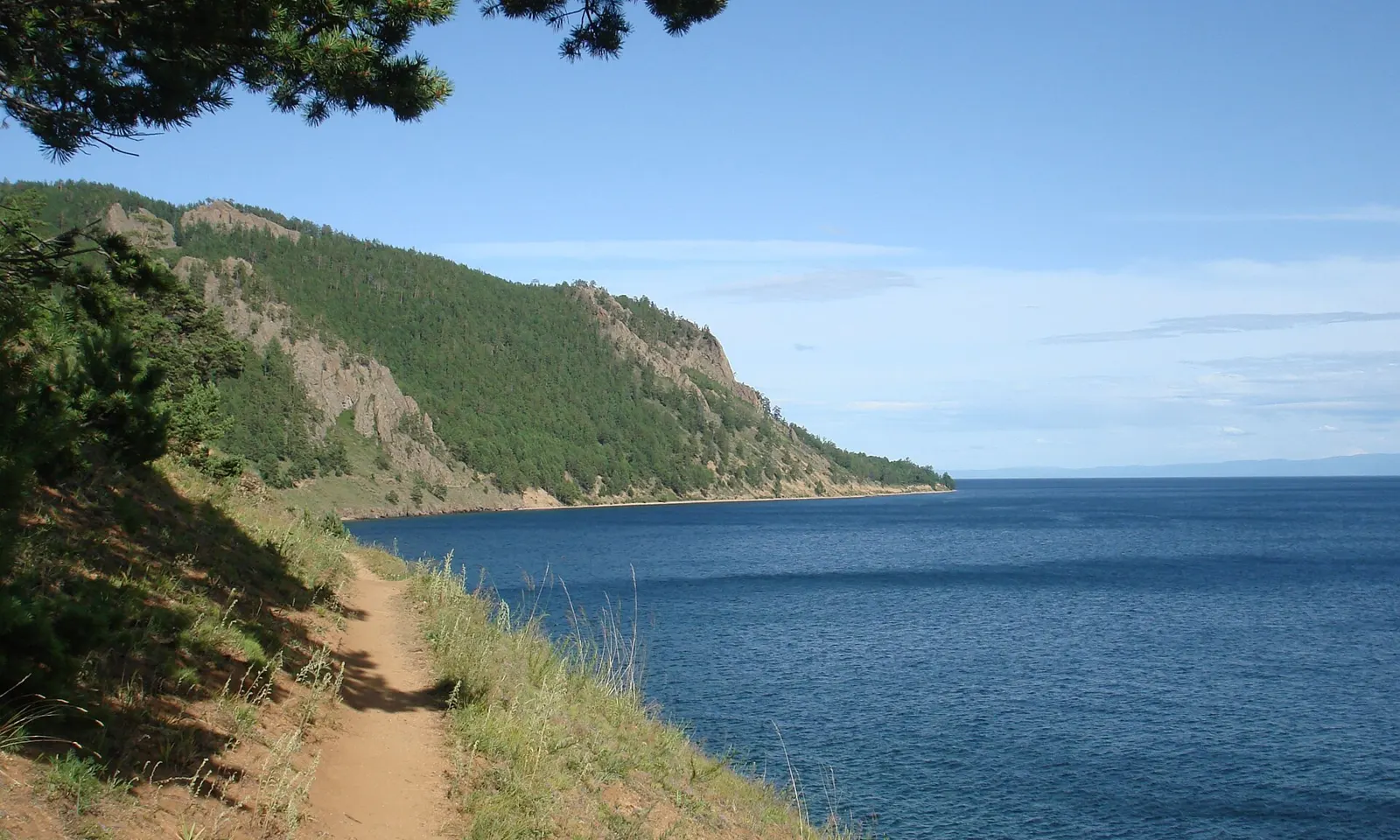
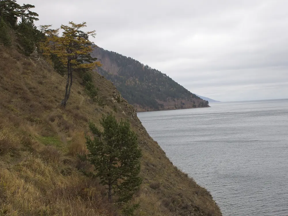
The Great Baikal Trail on a grassy slope above Lake Baikal near Bolshie Koty

Photos: Victor Alexandrov (Public domain), Raul P (CC BY-SA 3.0), Chelsea Hicks (CC BY 2.0), David M. (CC BY 3.0)

Distance
About 24 km one way
Time
5 to 8 hours
Height difference
Up to about 400 m
Start and finish
Listvyanka to Bolshie Koty, return by boat

Why go

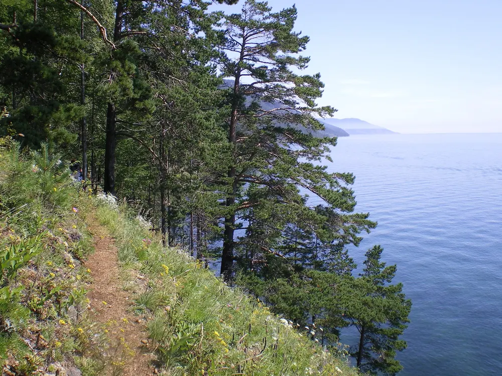
Baikal is the oldest and deepest lake on Earth, a World Heritage Site since 1996, and this is the best known walk on its shore. The path from Listvyanka to the old gold mining village of Bolshie Koty is part of the Great Baikal Trail, a network of footpaths begun by volunteers in the late 1990s, which about 14,500 people walked in 2025. Most of the way runs through forest above the water, with views across the lake to the mountains on the far shore.

The route

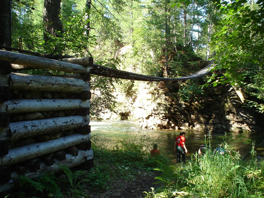
The path starts at an information board about 2 km past the end of Listvyanka. The first few kilometres climb through forest to a high point about 400 m above the lake, the hardest part of the day, then a winding descent leads to the Emelyanikha valley, with a picnic spot and water. Further on the trail runs along steep slopes on loose, dry soil, with wooden steps and ladders in places. About 3 km before Bolshie Koty it drops to a pebble beach, crosses the Chernaya river on a footbridge and becomes a track into the village. Where signs warn of erosion, walk round on the beach.

When to go

May to October is the walking season, and boats to Bolshie Koty run most often in July and August. In 2026 the park shut the trail because of brown bears: it was listed as closed on 11 September, and from 18 September only nine of about 25 park routes stayed open, the Great Baikal Trail not among them. Check the park's website before you fix a date.

Getting there

Listvyanka is about 70 km from Irkutsk, roughly an hour by bus or minibus, or reached by boat. Bolshie Koty has no road. In summer hydrofoils link it with Listvyanka and Irkutsk; in winter people drive across the ice. Book the boat back in advance, because the last departure does not wait.

Permits and booking

The trail is in Pribaikalsky National Park, and every visitor needs a permit, bought online at baikalpass.ru or at park offices and forestry posts. Since 12 January 2026 it costs 600 roubles for foreigners and 300 for Russian citizens, and lasts 7 days. Save it on your phone or print it, as there is little signal on the trail. When the park reopened the trail after a bear closure in July 2025, it allowed only groups of at least five walking in daylight.

How hard it is

Moderate. The path is well trodden but long, with one steady climb and some exposed sections on crumbling ground above the lake.

Where to sleep

Bolshie Koty has a few guesthouses and a hostel. Book early, as Irkutsk State University students stay at the village's biological station from June to October. Tents are allowed only at designated sites in the park.

Tips

  • Ticks are common in the Baikal forests, so ask about a tick-borne encephalitis vaccination well before you go and check yourself after the walk.
  • Carry enough water for the long first climb, where there is none.
04 / 10

Route 30, Through the mountains to the sea

Caucasus State Biosphere Reserve, Adygea and Krasnodar Krai

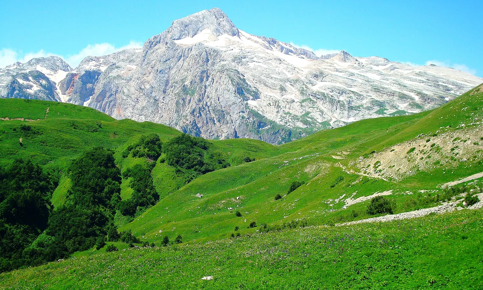
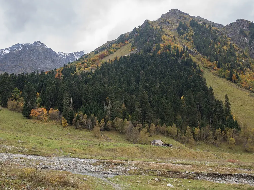
Mount Fisht above green mountain pastures on Route 30

Photos: Sergei Kazantsev (CC BY-SA 4.0), Victoria Mosunova (CC BY-SA 4.0), wilderwind (CC BY-SA 4.0), Viktoria Dragunova (CC BY-SA 4.0)

Distance
About 50 to 52 km on the reserve's routes 30A and 30B
Time
2 to 5 days
Highest point
2,056 m, Abadzesh pass (side trips higher)
Season
Usually June to October

Why go

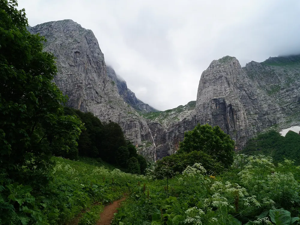
Route 30, Cherez gory k moryu, was one of the oldest and busiest walking routes in the Soviet Union. The Caucasus reserve adopted it in 1950, and by the mid 1970s about 80 new walkers set out on it every day. Neglected after 1990 and revived in the 2000s, it now sees about 10,000 walkers a year. It climbs from the forests of Adygea onto the pastures below Fisht, 2,867 m, and Oshten, 2,804 m, then crosses the main ridge towards the Black Sea.

The route

Route 30A starts at the Lagonaki checkpoint, crosses the Abadzesh pass and traverses below Oshten to the Fisht hut, 20 km. A rest day there allows a side trip to the Defenders of the Caucasus memorial at 2,100 m on the Fisht-Oshten pass. Day three crosses the Belorechensky and Cherkessky passes to the Babuk-Aul hut, 23 km, and 7 km more reach the Ruchey Bely checkpoint. Route 30B splits the first day in two, and 30G starts from the Uzurub checkpoint above Guzeripl, the historic start.

When to go

The reserve opens the route by order each season, usually June to October, once the passes are clear of snow. In early October 2026 it reported night frosts and wet snow on many routes.

Getting there

Walkers make their own way to both ends. The Lagonaki checkpoint is on the R254 road towards Dakhovskaya. For route 30G, go from Guzeripl to Yavorova Polyana, a short walk below Uzurub. From Ruchey Bely, organised trips continue through Solokh-Aul to Dagomys on the coast.

Permits and booking

From 15 August 2026 the reserve charges 500 roubles per visit, plus 300 roubles a night at its campsites for anyone over 14. Buy passes on the route's page at kavkazzapoved.ru, or at the Lagonaki and Uzurub checkpoints, which take cash only. The section through Solokh-Aul crosses Sochi National Park and needs its own permit from npsochi.ru. Independent walkers must go in groups of at least three, camping outside set sites is forbidden, and you must notify the emergency ministry (MChS) before setting off. The UK advises against all travel to Russia, and the US rates it Level 4, Do Not Travel.

How hard it is

The reserve says no technical training is needed and the trail is marked, but days of 20 km over passes near 2,000 m need fitness. In September 1975, 21 walkers in one group died on this route in bad weather.

Where to sleep

Nights are at the reserve's sites, including the Fisht hut at 1,600 m and the Babuk-Aul hut, with tent platforms, fire shelters and toilets. A bunk in the Fisht tourist house costs 500 roubles without bedding.

Tips

  • Carry roubles in cash, as the Lagonaki and Uzurub checkpoints take nothing else.
  • Mobile signal is patchy, so the reserve suggests a satellite device.
05 / 10

Ergaki: Lake Raduzhnoye and the Hanging Stone

Ergaki Nature Park, Western Sayan, Krasnoyarsk Krai

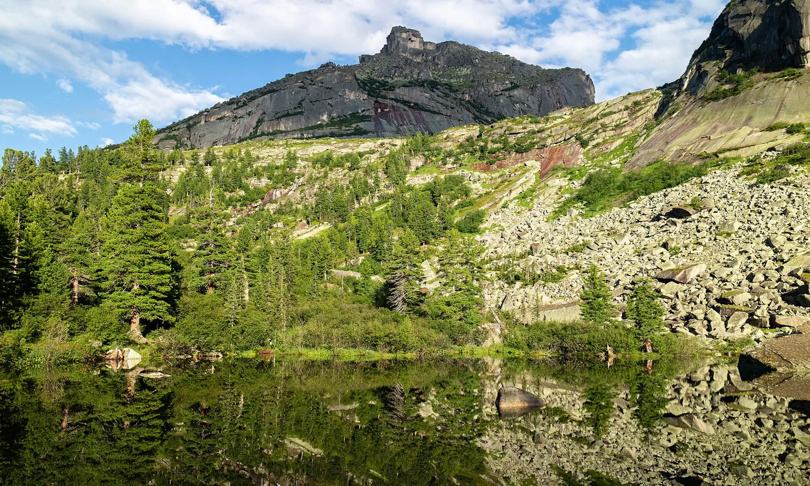
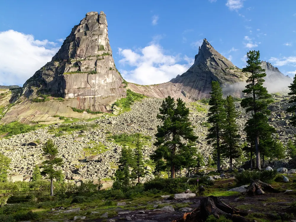
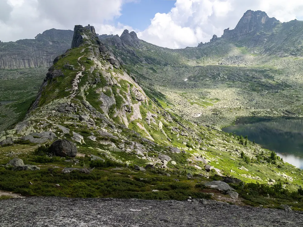
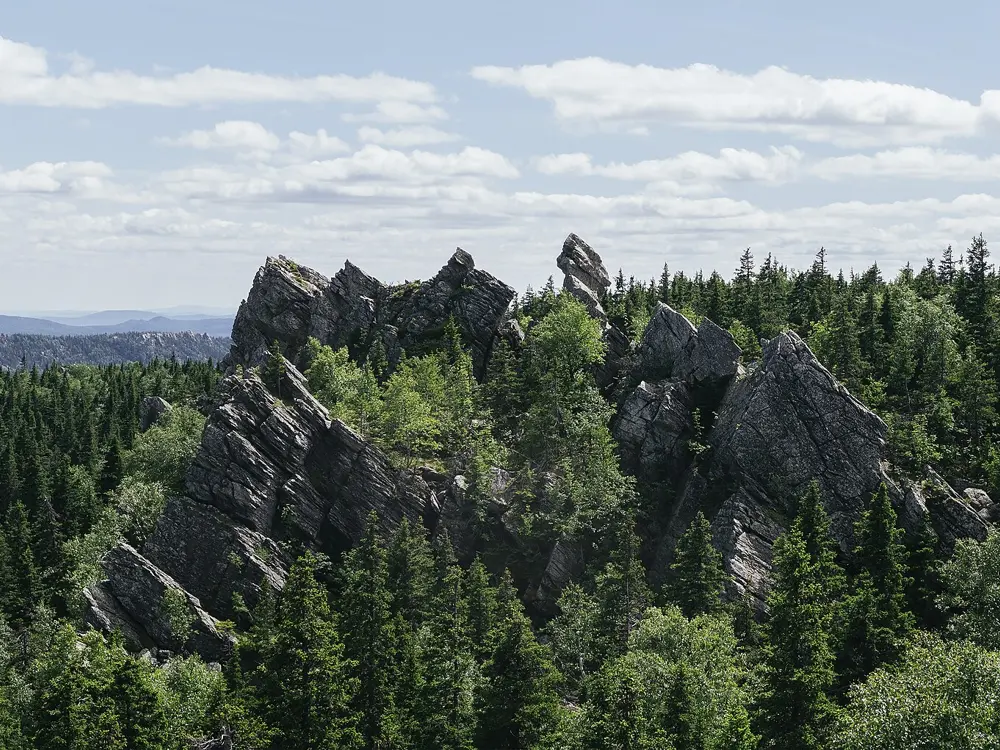
Granite peaks reflected in Artists' Lake in Ergaki

Photos: Vyacheslav Argenberg (CC BY 4.0), Vyacheslav Argenberg (CC BY 4.0), Vyacheslav Argenberg (CC BY 4.0), Vyacheslav Argenberg (CC BY 4.0)

Distance
About 12 km, the park's day walk to the Hanging Stone
Time
5 to 7 hours
Start
Park visitor centre, km 614 of the R257 (M54)
Season
June to September on foot

Why go

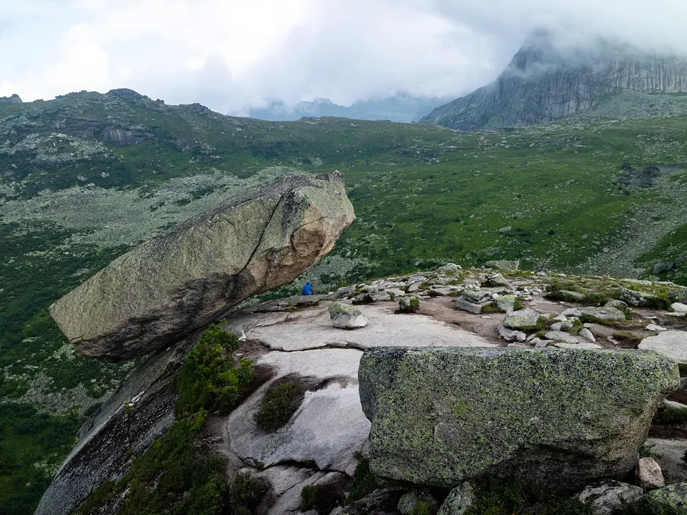
Ergaki is a granite range in the Western Sayan, in the far south of Krasnoyarsk Krai, made a nature park on 4 April 2005. Its jagged peaks have names like Bird, Star and Dragon's Tooth, and the ridge called the Sleeping Sayan looks like a man lying on his back. Below it sits Lake Raduzhnoye, and on the cliff above the lake balances the Hanging Stone, a block about 15 m long thought to weigh some 500 tonnes, which seems ready to tip over the edge.

The route

The park's marked trail To the Sleeping Sayan runs about 9 km from its entrance near the road, past Lake Raduzhnoye and the Hanging Stone, up to the Artists' Pass (Khudozhnikov Pass), with about 6.7 km of it on a hard surface or boardwalk. The path to the pass goes by Lake Karovoye. The guided Hanging Stone walk from the visitor centre is about 12 km and takes 5 to 7 hours. Beyond the pass lies the Artists' Lake, near the granite towers of Parabola, which most people visit on a longer trip with a night or two in a tent.

When to go

The trails are walked from June to September, and snow can fall even in June. Rain can set in for several days in any summer month. The park says the slopes are usually under snow from September to mid May; from October to April the same trails are used on skis or snowshoes.

Getting there

The R257 (M54, Yenisei) highway runs through the park and is its only road. The visitor centre at km 614 is about 200 km, roughly three hours by car, from Abakan, which has the nearest airport, and 620 km from Krasnoyarsk. Daily buses between Krasnoyarsk and Kyzyl stop on request at Oyskoye Lake, the visitor centre and Tushkanchik.

Permits and booking

Every visitor, including those walking on their own, must register with the park, online on its website, at the visitor centre or at the Tushkanchik ranger post, and must also file a route with Russia's emergencies ministry (MChS) online. The park's online form showed a charge of 50 roubles in 2026, and its price list has a 50 rouble per person cleaning fee for camp areas, with children under seven free. The park is open all year, but about a quarter of it is closed to visitors. The park directorate has posted a bear warning strongly advising people to stay out of the park, and a tourist base reported in early September 2026 that trails had been closed for a time because bears were active before hibernation. Check with the visitor centre before you go.

How hard it is

Most of the way to Raduzhnoye is on boardwalk and graded path, but the climb to the stone and the pass is steep and rocky. The park asks for good fitness and sets a minimum age of 12 on its guided walk. Brown bears live here and attacks on campers were reported in 2021.

Where to sleep

There is a tent site on the Malaya Buyba stream about 450 m from Lake Raduzhnoye, with a ranger post in summer, and another at the Artists' Lake. Lake Svetloye has park campsites, and the visitor centre rents tent platforms from 150 roubles a night. Tourist bases along the highway allow day walks.

Tips

  • Keep food out of your tent and walk in company; the park publishes a guide on living with bears.
  • Bring cash or a card for parking at the visitor centre, from 50 roubles for up to 12 hours.
06 / 10

Shavla Lakes trek

North Chuya range, Kosh-Agach District, Altai Republic

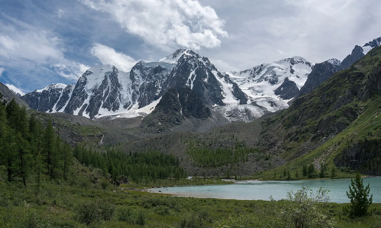
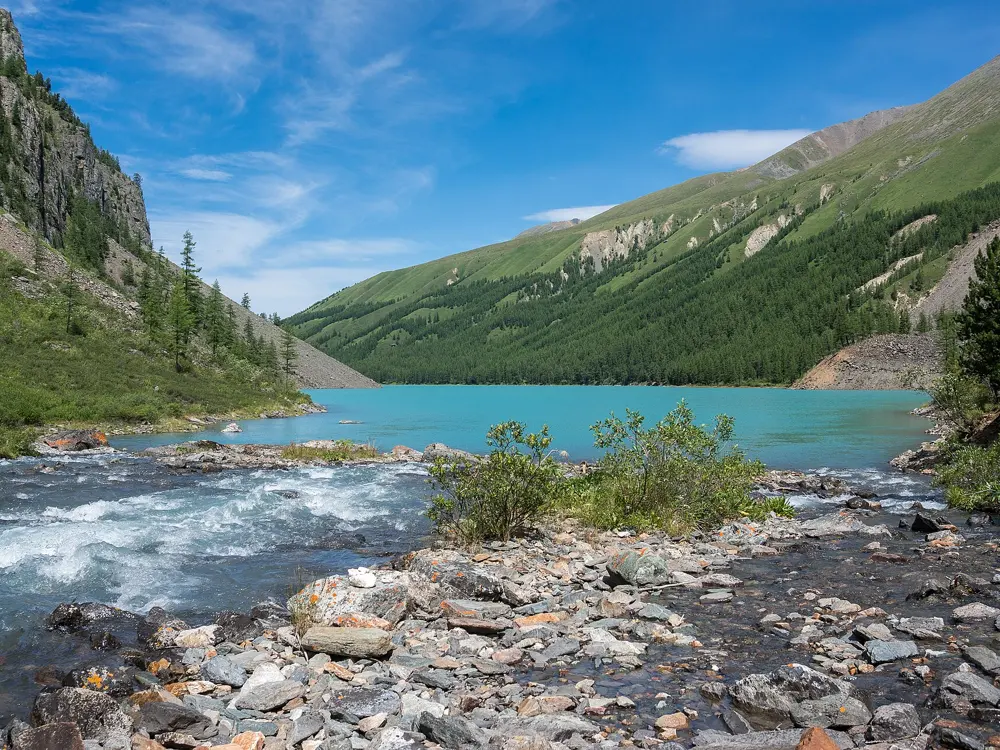
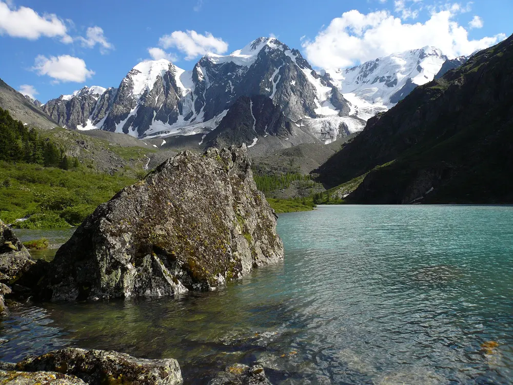
The upper Shavla lake below the snow peaks Mechta, Krasavitsa and Skazka

Photos: N 3 14 15 92 65 (CC BY-SA 4.0), N 3 14 15 92 65 (CC BY-SA 4.0), N 3 14 15 92 65 (CC BY-SA 4.0), Ultrakrsk (CC BY-SA 3.0)

Distance
About 40 km each way from Chibit
Time
2 to 3 days each way
Highest point
Oroy pass, about 2,220 m
Season
Late July to mid August is best

Why go

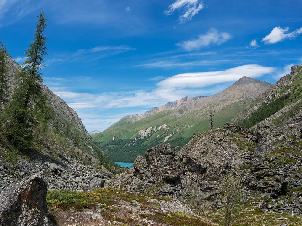
The two Shavla lakes lie high in the Shavla valley of the North Chuya range, the lower at about 1,983 m and the upper, above the treeline, at about 2,164 m. Over the upper lake stand glaciated peaks up to about 3,700 m, among them Skazka, named by Igor Tamm, and Krasavitsa, named by Delone. The lakes lie in the Shavlinsky nature reserve (zakaznik), set up in 2002.

The route

The usual route starts at Chibit on the Chuysky Trakt and crosses the Chuya by a bridge, then climbs about 900 m in some 6 km to the Oroy pass, which is not graded, and the Eshtykol plateau. From there it drops into the Shavla valley and follows the right bank of the river up to the lower lake, which takes about two days from the pass. The lower lake has larch woods and many campsites on its east shore, while its west shore is steep rock. The upper lake is reached by a day walk from there, because the trail beyond is no good for horses. Most return the same way.

When to go

Late July to mid August is the most settled time, with more sun and less rain. In the first half of June there can be a lot of snow, enough to need mountaineering gear, and by late September it is cold, often wet and sometimes snowy.

Getting there

Chibit is in Ulagan District, about 345 km from Gorno-Altaysk along the Chuysky Trakt. Buses run from Gorno-Altaysk, and the ride from Barnaul is about 8 hours, from Novosibirsk about 10.

Permits and booking

No official visitor fee for the lakes or the reserve was found, but in 2020 local people charged 100 roubles a person to cross the Chuya bridge and 100 roubles a tent at the camp beside it. Groups should register with the Emergencies Ministry (MChS) of the Altai Republic on its online form about 10 days ahead and report their return. Kosh-Agach District is one of three border districts where, since March 2026, tour operators must agree routes with the border guards and sign contracts with visitors; no source says whether the Shavla valley itself is in the border zone, so ask a local operator.

How hard it is

The trail is hard going, churned up by horses, and the climb to the Oroy pass is steep. In season you can meet five to eight groups a day. Local people will carry bags on horseback.

Where to sleep

It is a camping trek. Chibit has campsites and a camp base with rooms. At the lower lake there is a large tent meadow, and in 2020 there was a bathhouse and a small shop selling flatbread, milk and firewood.

Tips

  • Carry small notes in roubles for the bridge, campsite and horse fees charged by local people.
  • Pack for rain every day and keep a spare day in case a storm pins you down on the pass.
07 / 10

Khibiny traverse, Imandra to Kirovsk

Khibiny National Park, Kola Peninsula, Murmansk region

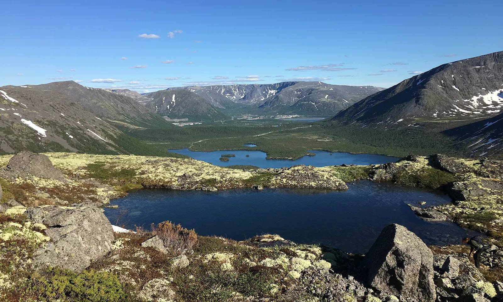
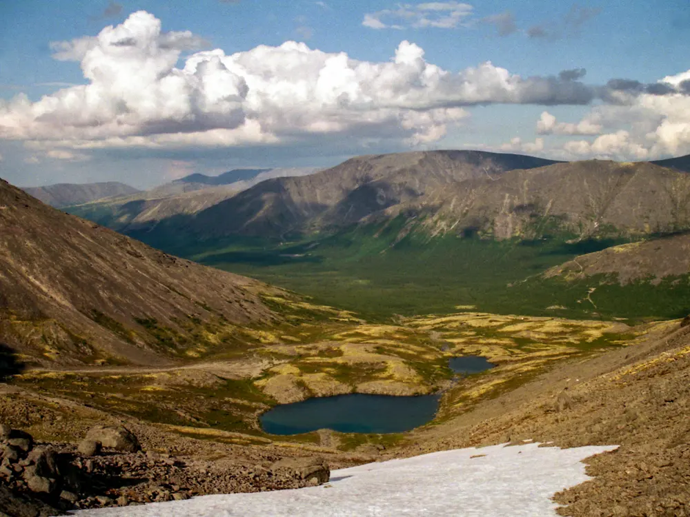
Small lakes among boulders and tundra in the Khibiny Mountains

Photos: Lousbiorg (CC BY-SA 4.0), Александра Орлова (CC BY-SA 4.0), Konstantin Malanchev (CC BY 2.0), NortEastWestSouth (CC BY-SA 4.0)

Distance
About 56 km, Imandra station to Kirovsk
Time
About 6 days
Highest point
1,030 m, Arsenyeva pass
Season
July to September

Why go

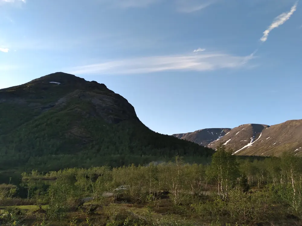
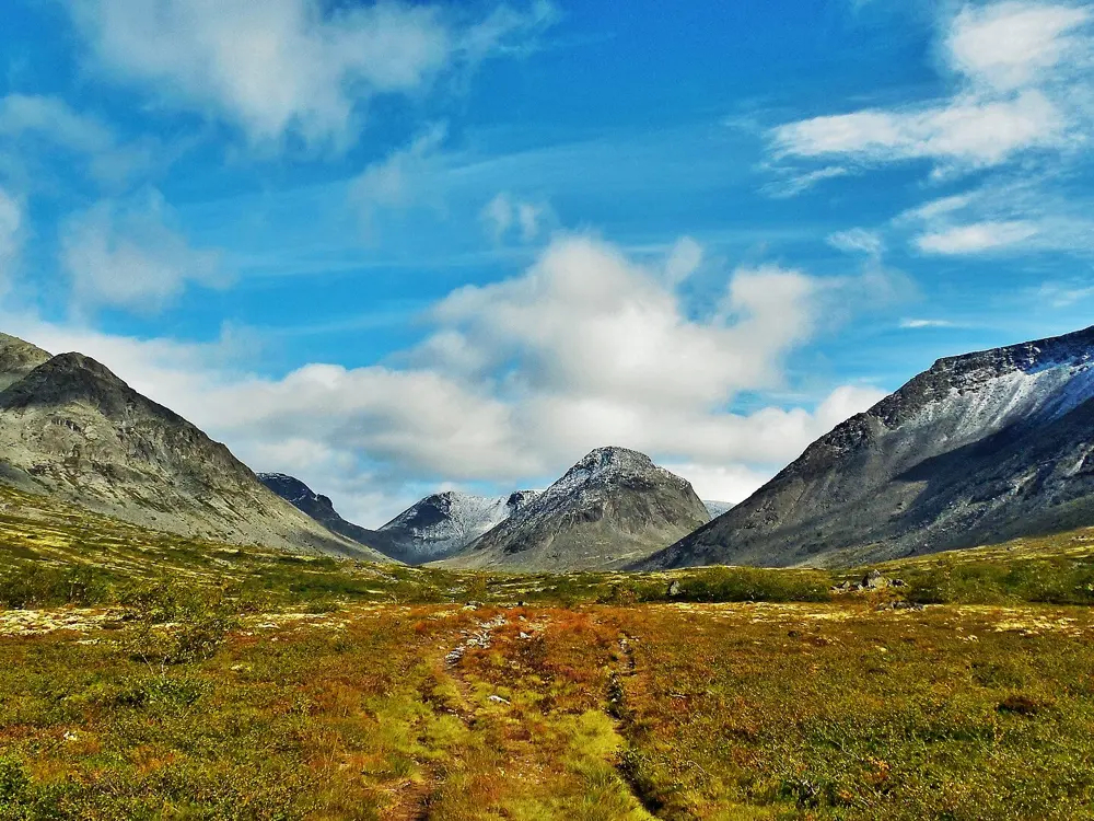
The Khibiny are the largest mountain range on the Kola Peninsula, about 1,300 square km above the Arctic Circle, with Lake Imandra to the west. The tops are flat tundra plateaus, the highest Yudychvumchorr at about 1,200 m, cut by glacial valleys, lakes and boulder passes. Since 2018 most of the range has been a national park of 84,804 hectares.

The route

The crossing from Imandra station on the Murmansk railway to the mining town of Kirovsk is the classic way through the range. One well documented six day version walks through the Aku-Aku gorge to Lake Izumrudnoe, crosses the Yumyekorr pass at 714 m to the Goltsovka river, then climbs to the Arsenyeva pass at 1,030 m, with an optional side trip up Yudychvumchorr. After a day of side trips to the Petrelius passes, it crosses the Ramzay pass at 745 m to Lake Maly Vudyavr, about 5 km north of Kirovsk. Longer variants by the Kuelporr base and Lake Akademicheskoye take 7 to 12 days.

When to go

July to September is the walking season. Snow can lie on the passes into June, and nights can drop below freezing in August. By late August the mosquitoes have gone and the tundra turns red and gold.

Getting there

Some long distance trains stop at Imandra; from Murmansk the train takes about 2 hours 40 minutes. From Kirovsk, buses and taxis run to Apatity-1 station and Khibiny airport, which has flights from Moscow and St Petersburg.

Permits and booking

Khibiny National Park says that until its regulations are approved it can be visited without special permission, but asks visitors to register online, and inspectors may ask for the confirmation. For trips of several days, groups must report their route to the MChS rescue service 10 working days ahead, through forms.mchs.gov.ru. No park fee is currently listed, though one is being discussed. Neither the park's visitor pages nor the guides used here mention a border-zone permit for the Khibiny.

How hard it is

Moderate, for people with some backpacking experience. Packs weigh 18 to 24 kg, there are river fords, and the passes are long boulder fields, most of them unrated or graded 1A. Cloud can sit on the plateaus for days.

Where to sleep

On the traverse you camp, using existing bivouac sites, as the park asks. Kirovsk and Apatity have hotels, hostels and tourist bases, and the MChS base at Kuelporr, about 27 km from Kirovsk, has rented a house to walkers.

Tips

  • Send the MChS route notice early: the 10 working day rule is strict, and late forms cannot be submitted.
  • Bring a stove, since the park asks walkers to cook on burners, and expect no phone signal for most of the route.
08 / 10

Taganay: Dvuglavaya Sopka and the Stone River

Taganay National Park, Zlatoust, Chelyabinsk region

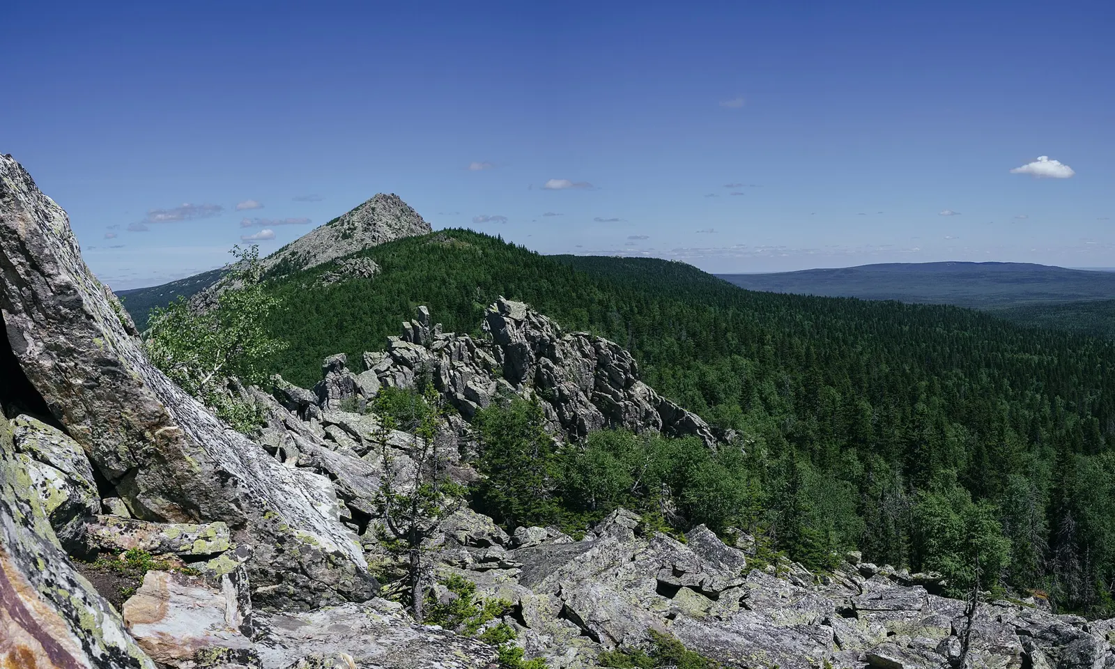
Otkliknoy Ridge above the forests of Taganay, seen from the Mitkiny rocks

Photos: Fanatos (CC BY-SA 4.0), Арина Ахметова (CC BY-SA 4.0), Fanatos (CC BY-SA 4.0), Арина Ахметова (CC BY-SA 4.0)

Distance
14.1 km return to Dvuglavaya Sopka
Time
6 to 8 hours
Highest point
752 m on the route; Kruglitsa, the park's summit, is 1,178 m
Entry permit
300 roubles a person

Why go

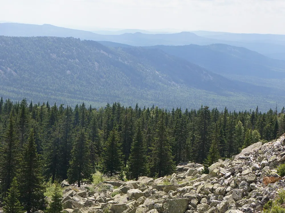
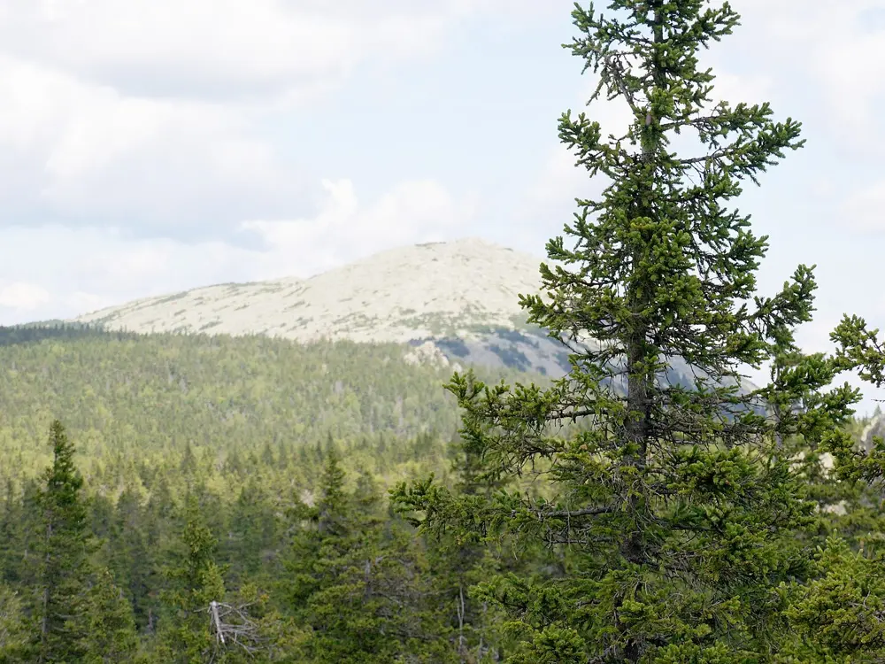
Taganay, a national park since 1991, is a group of ridges in the Southern Urals on the edge of the industrial city of Zlatoust. It is small enough to cross in a day or two and high enough to rise above the trees into subalpine meadows and stone fields. Its best known sight is the Big Stone River, a flow of boulders of 9 to 10 tonnes each, mostly aventurine, about 6 km long and 200 m wide, under which you can hear streams running 4 to 6 metres down.
The route

All the classic routes start at the Central Estate, the park's main entrance. For Dvuglavaya Sopka, the southern summit of the Big Taganay ridge, the Upper Trail runs 3.5 km through forest to the Bolshaya Tesma river, then climbs steeply for 2.5 km to the Bely Klyuch shelter. A side path goes up to the Skalodrom, a jagged tor over 40 m high. The Stone River route follows the Lower Trail 5 km to the Vesyoly Klyuch campsite on the boulder field, 10 km there and back. Longer outings continue past the Gremuchy Klyuch shelter to the meadows below Otkliknoy Ridge (22.8 km return), or to Kruglitsa through the Valley of Fairy Tales (28 km, 2 to 3 days).

When to go

The park is open around the clock all year. Summer and early autumn are easiest; snow can reach the summits in September and by late October conditions up high are close to winter.

Getting there

Zlatoust has buses and trains from Chelyabinsk, Yekaterinburg and Ufa. From the bus station take bus 14k or 15, or from the railway station minibus 28 or the same buses, to the Magazin Bely Klyuch stop, then walk 600 m along a dirt road to the park entrance.

Permits and booking

Every visitor must register and hold a permit, bought online at taganay.org or at the visitor centres at the Central Estate, Semibratka and Chyornaya Skala. It costs 300 roubles. Residents of Zlatoust and Magnitka go free but still need a permit. Walking without one is an offence with a fine of 3,000 to 4,000 roubles. Dogs and other pets are not allowed, you must stay on marked trails, and when a special fire regime is declared the park may close the shelters, campsites or the whole park.

How hard it is

Dvuglavaya Sopka and the Stone River need no special gear but good fitness; the trail is natural ground and boggy in places. The stones are very slippery after rain or frost.

Where to sleep

The Central Estate has guest houses. Bely Klyuch, 6 km in, and Gremuchy Klyuch, 9 km in, have guest houses, a sauna and toilets, and allow your own tent. Book on the park's website.

Tips

  • Carry all your food: there are no shops in the park, and shelters have stoves and mattresses but no pans or bedding.
  • Fill in the departure log at a shelter before setting out, giving your route and return time.
09 / 10

Sofia Lakes and Sofia waterfalls

Arkhyz, Karachay-Cherkessia

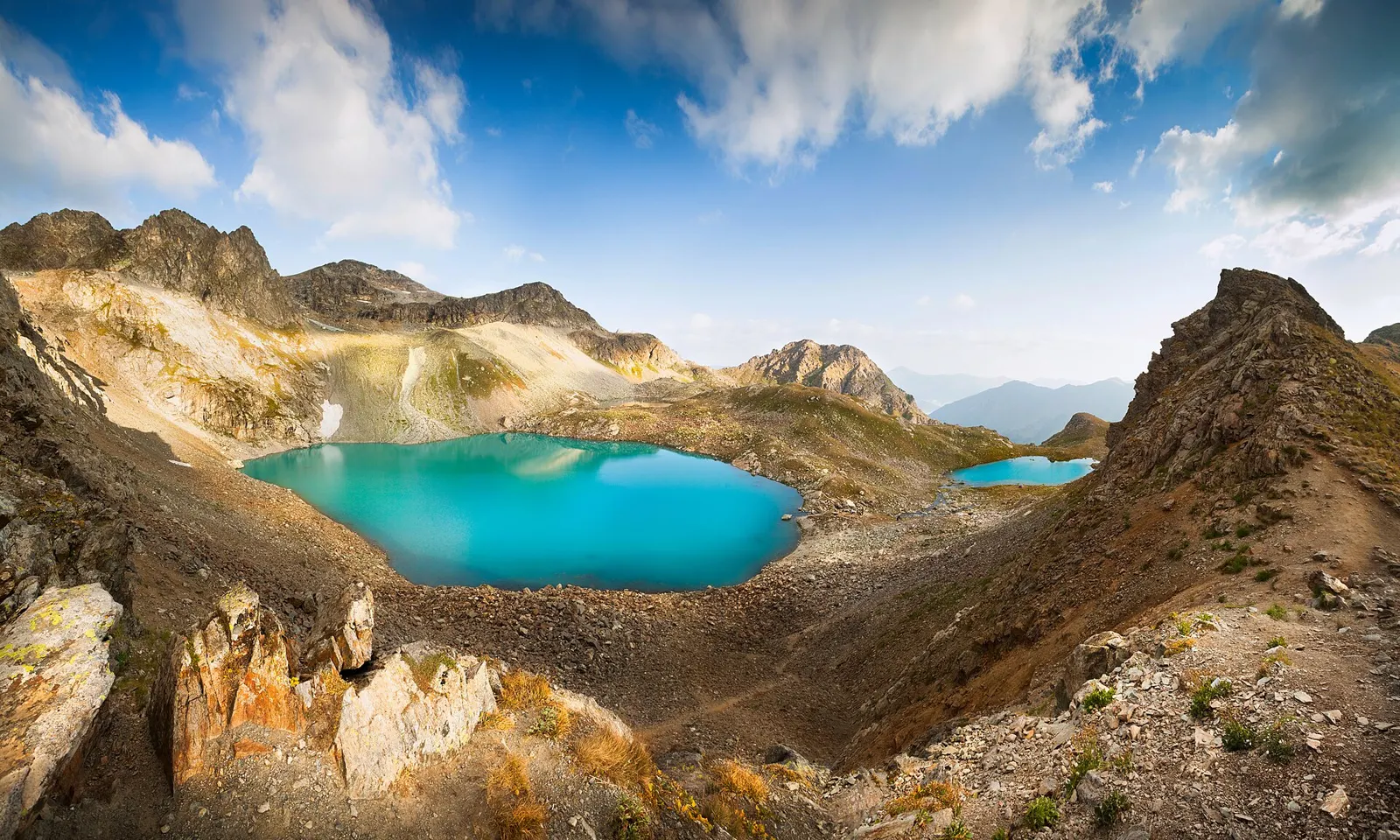
The turquoise Sofia lakes in a rocky cirque above Arkhyz

Photos: Mikhail Kapychka (CC BY-SA 4.0), Vyacheslav Argenberg (CC BY 4.0), DmitriyFD (CC BY-SA 4.0), Doublebn (CC BY-SA 4.0)

Distance
About 3.8 to 6 km one way, depending on the trailhead
Elevation gain
About 900 to 1,200 m
Highest point
About 2,870 m, Irkiz pass
Season
July and August are best

Why go

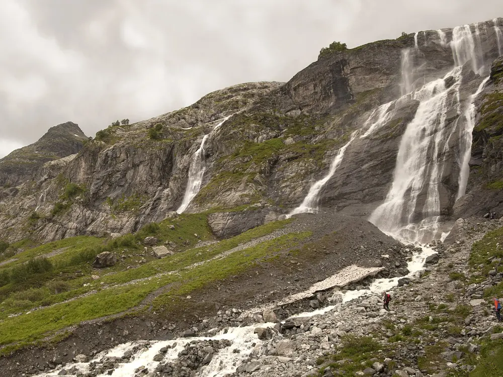
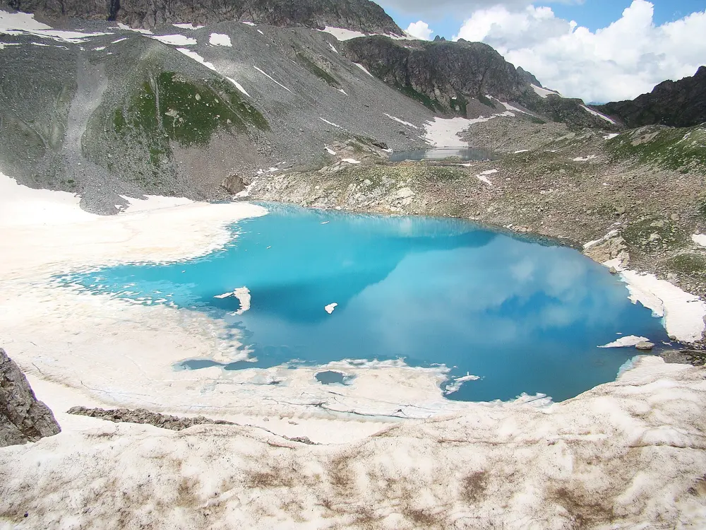
Above Arkhyz, the Sofia valley ends below Mount Sofia, 3,637 m, whose glaciers feed the Sofia waterfalls, a cascade of several streams falling about 70 to 90 m. Higher up, at about 2,820 m, three lakes, Bolshoye, Maloye and Severnoye, lie in a cirque below Irkiz. The largest is about 300 m across and 17 m deep.

The route

From Lednikovaya Ferma, the glacier farm, the waterfalls are about 2 km and 300 m of climbing away. For the lakes, the trail from the farm is about 3.8 km with 900 m of ascent, 2.5 to 3.5 hours; from the Syrzavod clearing it is 4.3 km, and from the lower Sofia trailhead about 6 km and 1,200 m. The last 200 m or so to the Irkiz pass is steep scree, and from the pass you look down on all three lakes. Most return the same way.

When to go

July and August are the most reliable months. In June the lakes can still be frozen, and from mid September snow is likely. Even in summer it is only about 5 to 10 C at the lakes, so start before 8 in the morning.

Getting there

Fly to Mineralnye Vody, about 214 km and 4 to 4.5 hours by bus from Arkhyz. From Arkhyz, UAZ jeeps reach the Taulu clearing in about an hour; the last 10 km to the farm need a serious off-road vehicle.

Permits and booking

The Teberda National Park's Arkhyz section, in the Kizgych valley, is closed to visitors, and the Sofia lakes are not on the park's list of trails. Tourist guides describe entry to the Sofia valley as free, though one mentions a park pass of about 200 roubles. The valleys near the Abkhazia border lie in a border zone, and foreigners need a border pass ordered in advance for the nearby Psysh approach; ask the FSB Border Directorate for Karachay-Cherkessia well ahead. The UK advises against all travel to Russia and warns of terrorism in the North Caucasus; the US rates Russia Level 4, Do Not Travel.

How hard it is

The waterfalls are easy. The lakes are a strenuous day at altitude, and the scree below Irkiz is graded 1A. Return trips take 8 to 10 hours.

Where to sleep

Most walkers stay in Arkhyz. Some camp by the lowest lake, where there are no official sites; nights can fall to around 0 C.

Tips

  • Carry at least a litre of water each and strong sun protection.
  • Book a jeep the day before and agree a time for the return.
10 / 10

Terskol to the Maiden's Braids waterfall and Pik Terskol observatory

Prielbrusye National Park, Baksan valley, Kabardino-Balkaria

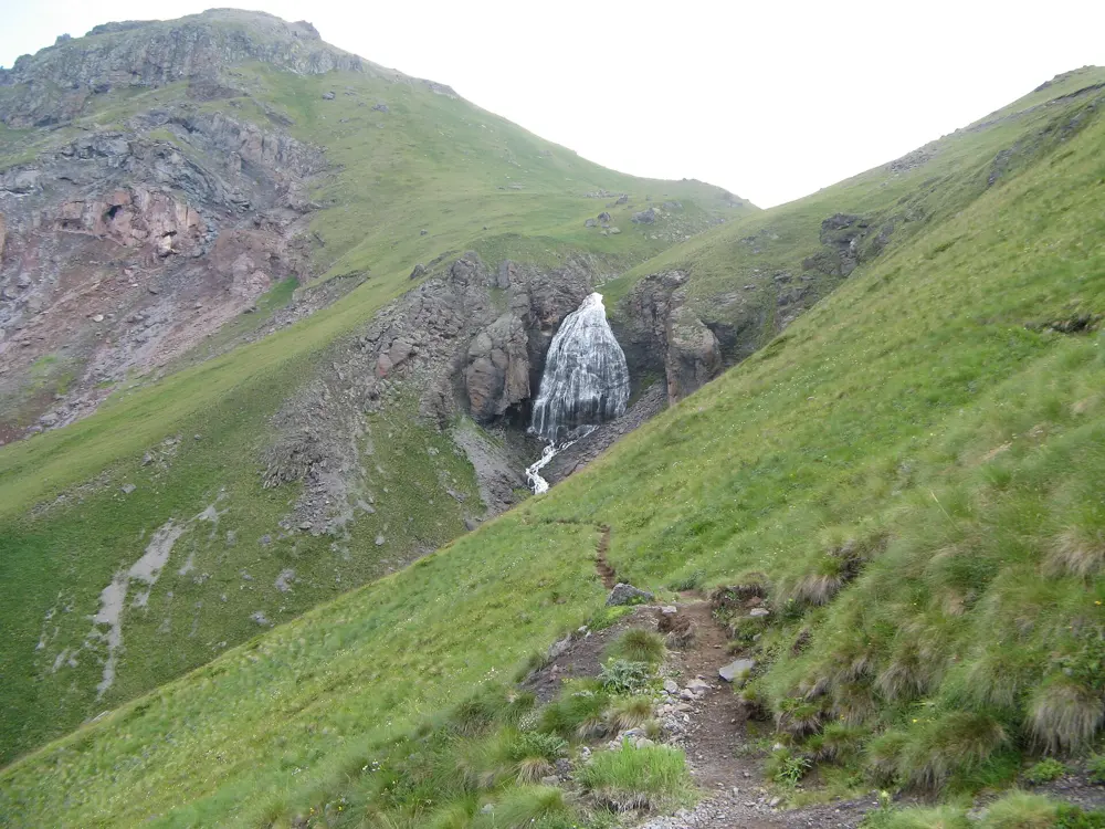
The Maiden's Braids waterfall spilling down a green slope above Terskol

Photos: Moneycantbuy (CC BY-SA 4.0), Lyseria (CC BY 3.0), Ilya Bogin from Moscow, Russia (CC BY 2.0), Alexey Komarov (CC BY-SA 4.0)

Distance
About 15 km return
Time
About 7 hours
Elevation gain
About 1,000 m
Highest point
About 3,150 m, Pik Terskol observatory

Why go

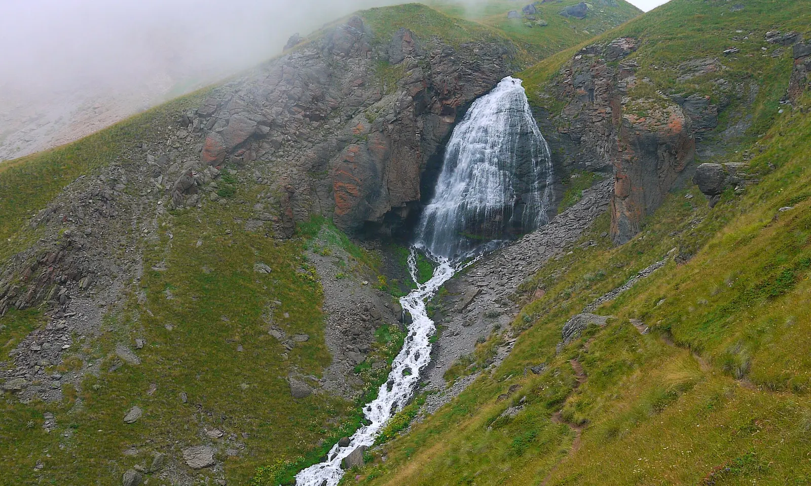
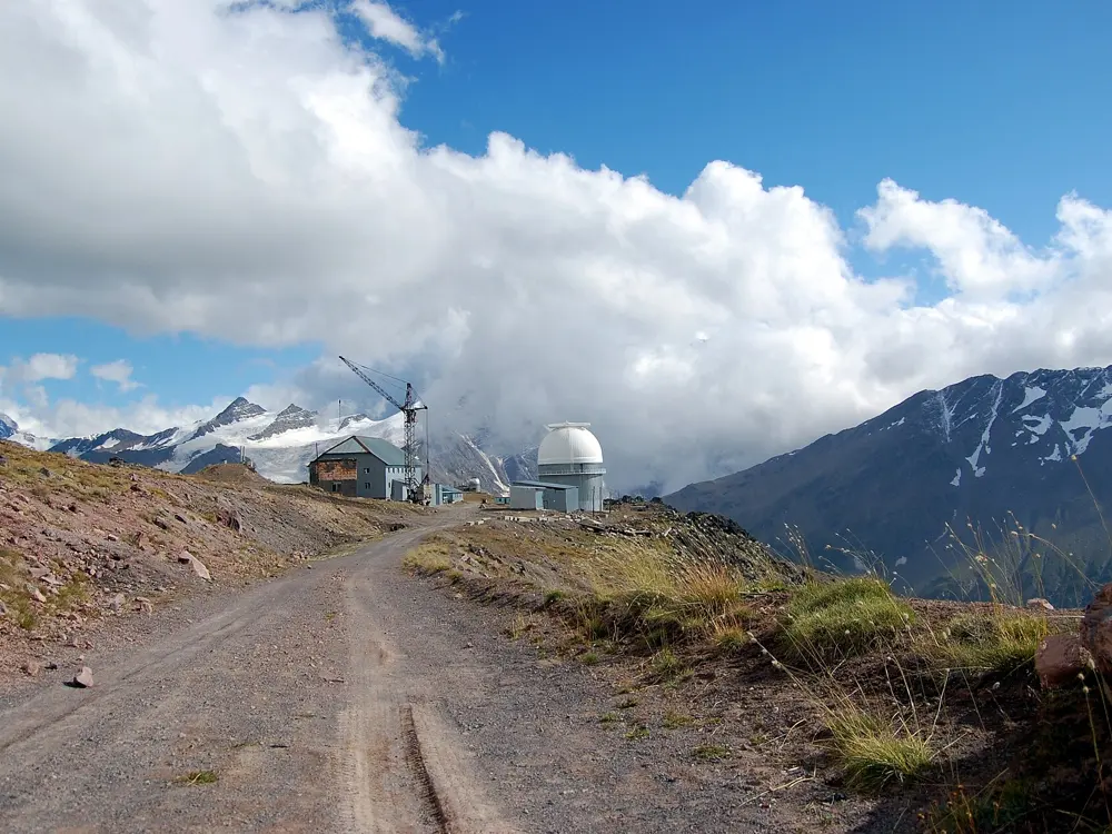
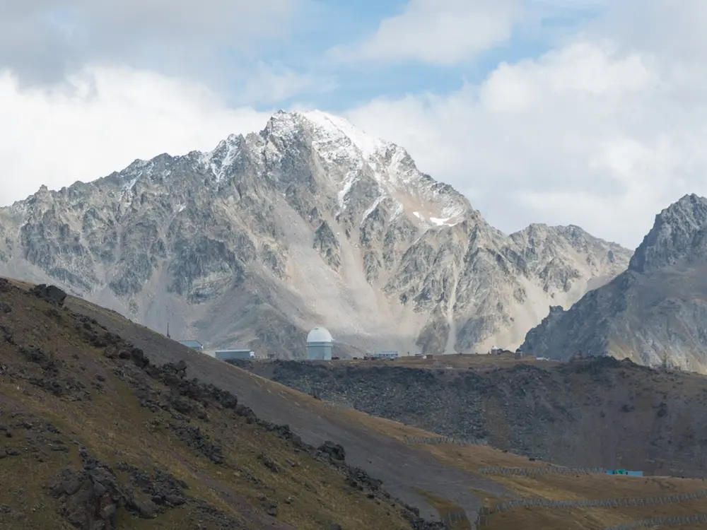
Terskol sits at about 2,145 m at the head of the Baksan valley, some 10 km from the foot of Mount Elbrus, at 5,642 m the highest mountain in Europe. This day walk climbs to Maiden's Braids, a waterfall about 30 m high fed by meltwater from the Garabashi glacier, and on to an observatory on the ridge, with the two summits of Elbrus in view. The whole walk lies inside Prielbrusye National Park.

The route

Start at the mosque in the centre of Terskol and follow the dirt road towards the Terskol gorge. Just past some farm buildings the road forks by a summer café and the park's fee point. The left branch climbs steadily through pine forest onto meadows, past the waterfall at nearly 2,800 m, then a derelict hut called the 95th picket, to the Pik Terskol observatory at about 3,150 m. The site is fenced and guarded, and visitors are discouraged. Return the same way. The right branch is the park's easy 9 km gorge trail to the Terskol waterfall.

When to go

The park lists its gorge trail for the warm months, from spring to early autumn. The waterfall runs strongest in summer, when the glacier melts.

Getting there

Terskol is on the A-158 road up the Baksan valley, about 160 km from Pyatigorsk. Regular buses run from Nalchik, Tyrnyauz and Baksan, and tour companies run buses from the Caucasian Mineral Waters towns.

Permits and booking

Prielbrusye National Park charges 200 roubles a visit, paid at the fee point; some groups, such as disabled people, are exempt. Parts of the Elbrus district are a border zone, with a border post at Terskol. Russians need only a passport outside the 5 km strip along the Georgian border, but foreigners need a pass and entry permit from the FSB border office in Nalchik, which can take 30 to 60 days. The MChS rescue team, based in Terskol, asks groups to register at least 10 days ahead. The UK advises against all travel to Russia and says terrorists are active in the North Caucasus; the US rates Russia Level 4, do not travel, and has long named Mount Elbrus in its warnings.

How hard it is

Moderate. The path is not technical, but it climbs about 1,000 m to above 3,000 m, so do a few easier walks first.

Where to sleep

Terskol and Azau, about 3 km away at the cable car, have hotels and simple guesthouses, and there are more in the village of Elbrus down the valley.

Tips

  • Take care in the grotto behind the waterfall, where small stones fall from the roof.
  • Carry your passport, and a border pass if you are a foreigner: border guards check people and vehicles in the valley.

Sources

Distances, heights, seasons and permit rules were checked against these pages. Rules change, so check the park or trail authority before you go.