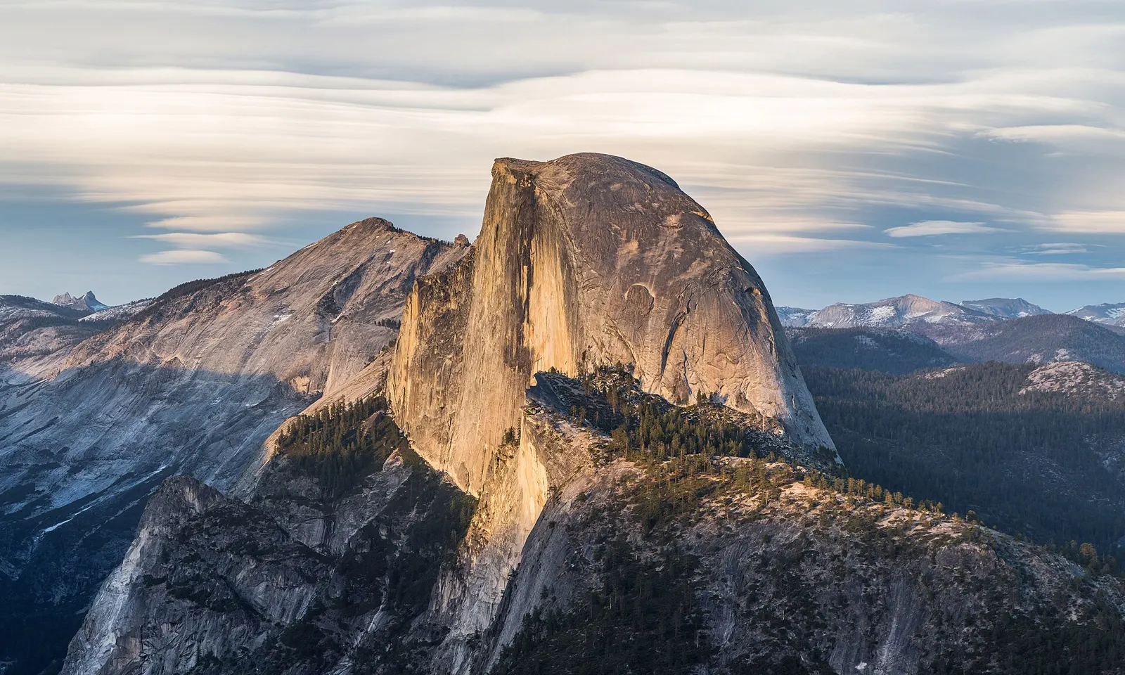
Half Dome, Yosemite National Park, California. Photo: Diliff (CC BY-SA 3.0)
The United States protects more wild country than most nations have, and its national parks, forests and wilderness areas hold trails for every kind of walker. These ten run from the granite of the Sierra Nevada and the glaciers of Alaska to a volcanic crater in Hawaii and the old, worn ridges of the Appalachians.
Many of the best American hikes now need a permit, a lottery win or a timed ticket, and the rules change from year to year. For each one you get the distance, the route, the best season, how to get there, the permits and where to sleep. Every fact comes from the park, the forest or the trail's own records, linked at the bottom of the page.
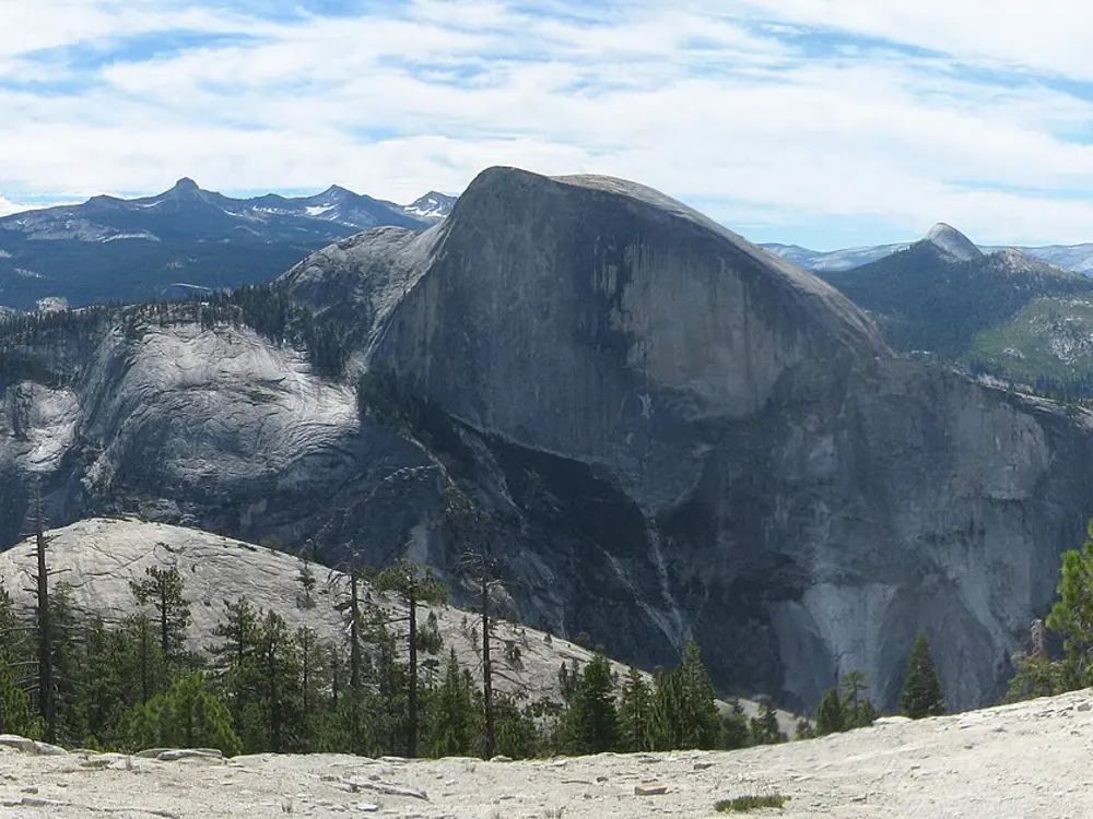
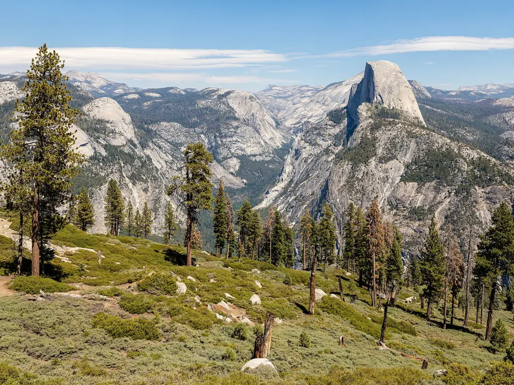
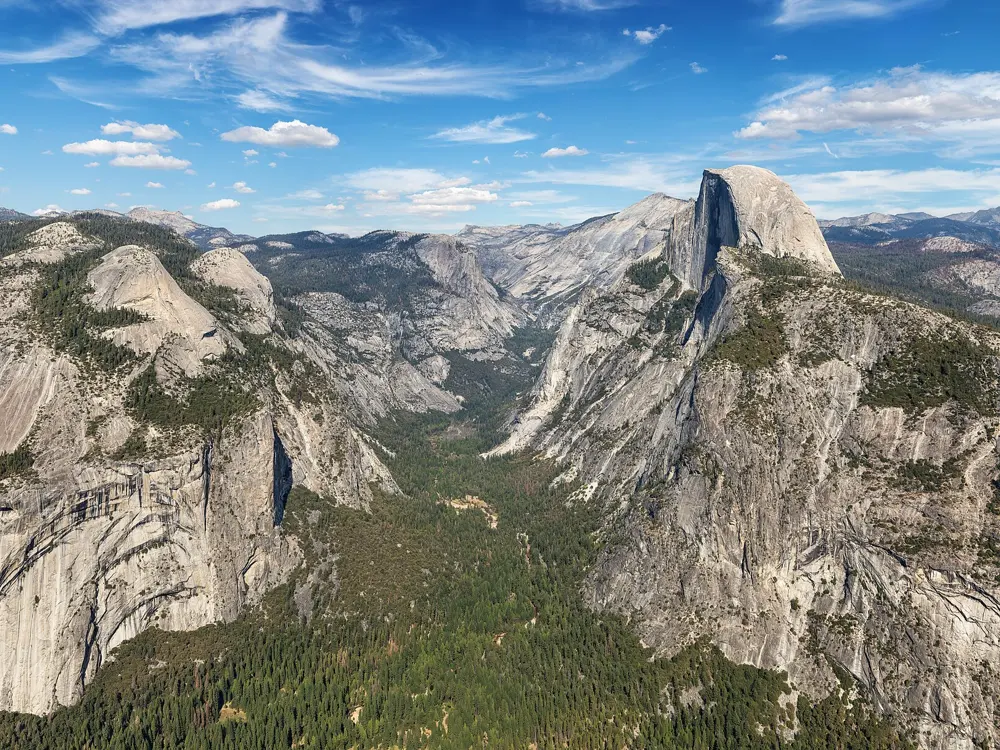
Half Dome is the granite dome split down one side that stands over the east end of Yosemite Valley, about 1,500 m above the valley floor. The last 120 m go up its curved back between two steel cables, first put up in 1919, to a broad summit looking over the valley and the High Sierra.
The route
Most hikers start at Happy Isles and climb the Mist Trail, past the Vernal Fall footbridge at 1.3 km and up more than 600 granite steps beside the fall. Steep switchbacks continue to the top of Nevada Fall, about 4 km from the start; the John Muir Trail is a longer, gentler alternative for this section. The trail then crosses Little Yosemite Valley, climbs through forest to the shoulder and goes over the steep subdome to the cables.
When to go
The cables are normally up from the Friday before Memorial Day until the day after the second Monday in October, and that is the season for the hike. Leave around sunrise to be off the summit before afternoon thunderstorms, and expect the top to be 8 to 11°C cooler than the valley and often windy.
Getting there
Happy Isles is shuttle stop 16 in Yosemite Valley. Trailhead parking is just beyond Curry Village, about 800 m from the trailhead, and shuttles start at 7 am. The park is not using a timed entry reservation system in 2026.
Permits and booking
A permit is needed beyond the base of the subdome on every day the cables are up, and rangers check it there. Most are won in a preseason lottery on recreation.gov, open 1 to 31 March with results in mid April, for up to six people per application. More go out in a daily lottery two days before each date. Each application costs $10, plus $10 per person if you win. Backpackers apply with their wilderness permit.
How hard it is
This is a long, strenuous day, and the park does not recommend it for anyone out of shape or unprepared. Nearly every fatal fall from the cables happened on wet rock, so do not go up if storms are near, the rock is wet or the cables are down. A headlamp is required.
Where to sleep
Curry Village, with cabins and canvas tent cabins, is the closest lodging to the trailhead, and the Pines campgrounds are nearby. Backpackers can split the hike with a night at Little Yosemite Valley.
Tips
Carry at least 4 litres of water per person. Treated water is available only at the Vernal Fall footbridge in summer.
Bring gloves with a good grip for the cables, and pack them out afterwards.
8 to 15 hours in a day, or several days with a permit
Why go
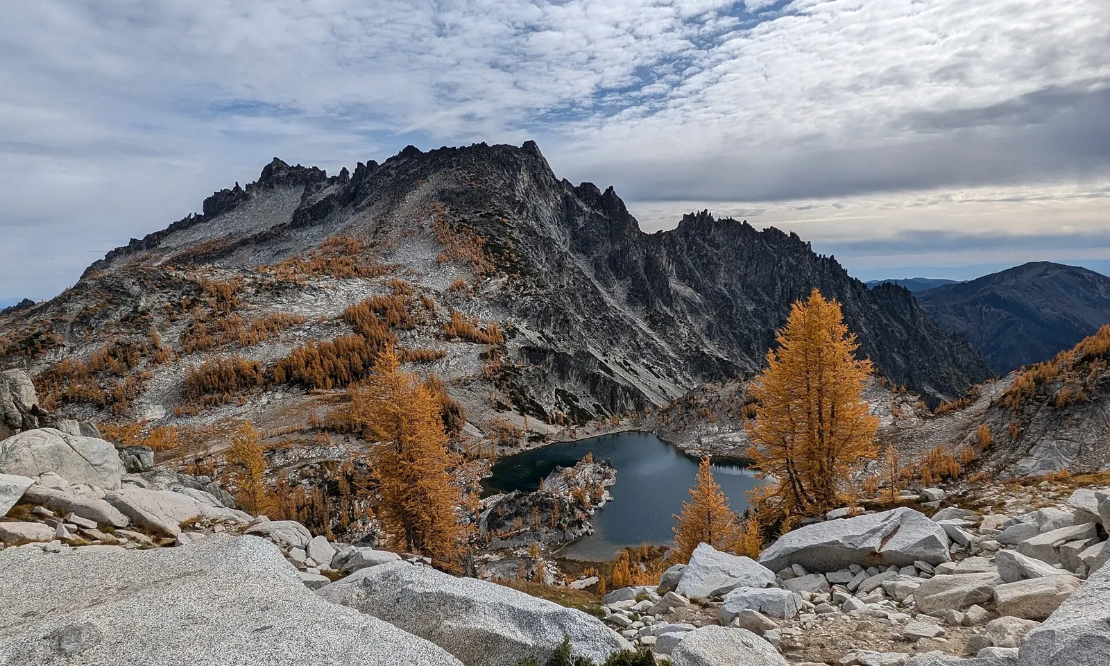
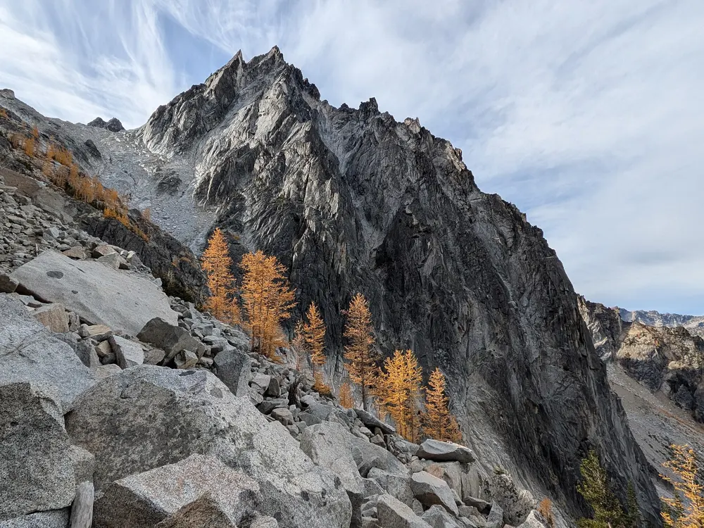
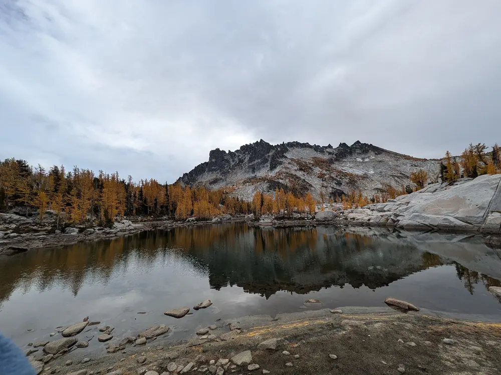
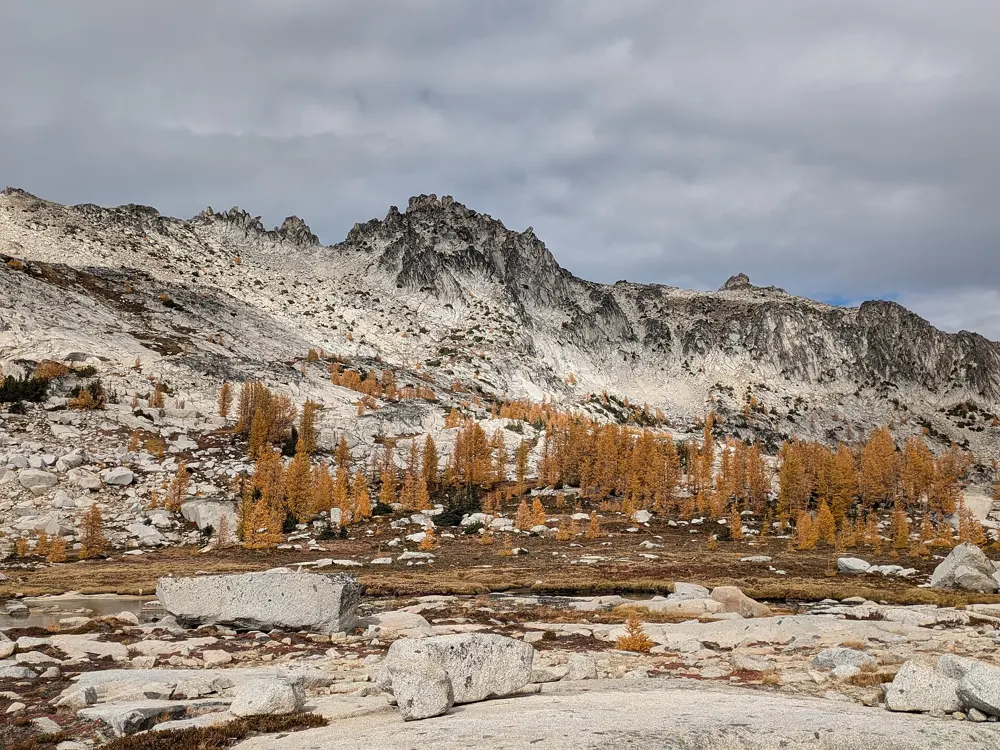
The Enchantments are a granite basin of more than 700 lakes and ponds in the Cascades about 24 km southwest of Leavenworth, with Dragontail Peak, about 2,694 m, standing over it. The lakes climb from about 1,520 m at Nada Lake to about 2,380 m in the Upper Enchantments, and in autumn the larches around them turn gold. Bill and Peg Stark gave the upper basin its Norse names after their first visit in 1959.
The route
Most people walk it one way from the Stuart and Colchuck Lake trailhead (about 980 m) to the Snow Lakes trailhead (about 425 m), so there is more descent than climb. The trail reaches Colchuck Lake after about 7.6 km, then Aasgard Pass rises about 670 m in roughly 1.3 km to the crest. Beyond it you pass Isolation, Inspiration, Perfection, Sprite, Leprechaun and Viviane lakes, cross the dam at Snow Lake and go down past Nada Lake to the road.
When to go
Overnight permits are needed from 15 May to 31 October. The larches turn yellow in the autumn months. Aasgard Pass is a steep scramble and is dangerous to descend when it holds snow.
Getting there
Leavenworth is the town for both trailheads. For a through hike, leave one car at the smaller Snow Lakes lot, then drive to the Stuart and Colchuck lot, which is large but fills early. Day users need a Northwest Forest Pass and must use the day-use parking there.
Permits and booking
From 15 May to 31 October every overnight trip needs a permit, won in an advanced lottery each February or a daily lottery from May to October, entered a day ahead from inside a geofenced area with the Recreation.gov app. Applying costs $6, and winners pay $5 per person per day. Groups are limited to eight, and you may hold one permit per season. Day hikers fill in a free permit at the trailhead. Dogs are not allowed.
How hard it is
The through hike is long and very strenuous, with most of the effort on the climb to Aasgard Pass. The Forest Service recommends the Core Zone for experienced hikers and suggests at least three or four days for it.
Where to sleep
With an overnight permit you camp only in the zone it names, in sites that have been used before, and Core Zone permits are valid in any zone. Campfires are banned above 1,520 m and within 800 m of a lake. Day hikers usually stay in Leavenworth.
Tips
There are many creeks along the way, so carry a filter and enough water to start.
On Aasgard Pass, keep left of the grove of evergreens, since the right side leads to a waterfall and steeper ground.
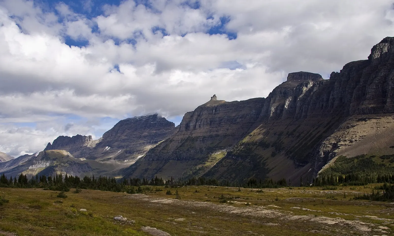
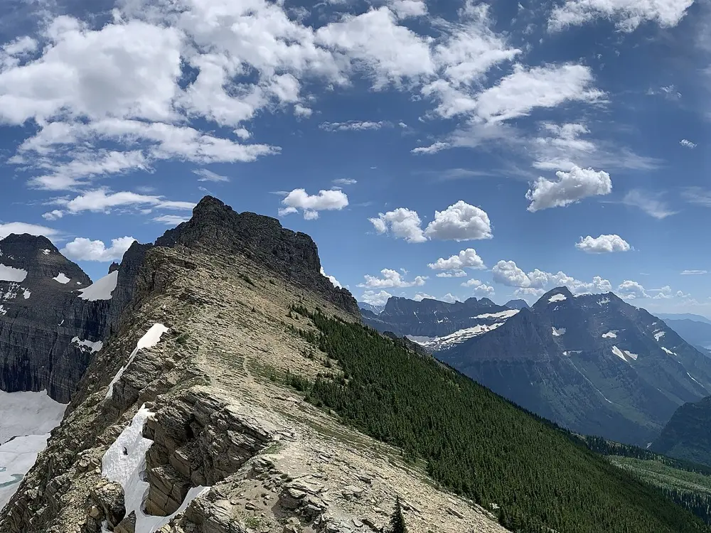
The Highline Trail leaves Going-to-the-Sun Road at Logan Pass, on the Continental Divide, and follows the Garden Wall for most of its length, high above glaciated valleys. Partway along sits Granite Park Chalet, built in 1914 and 1915 by the Great Northern Railway, now a National Historic Landmark you can only reach on foot.
The route
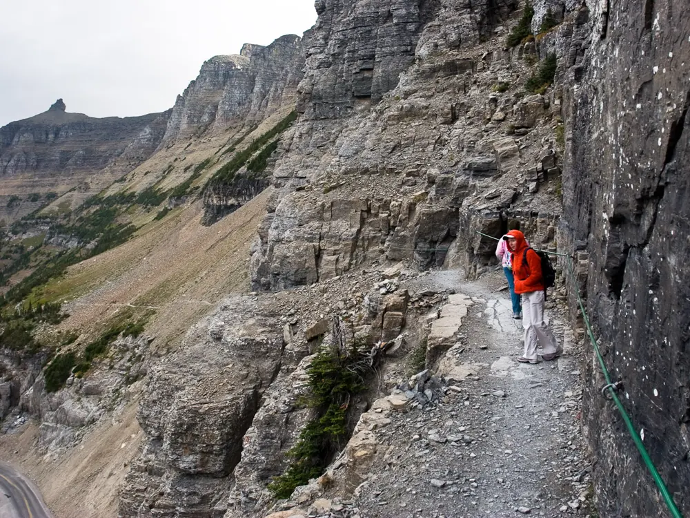
The trail starts across the road from the Continental Divide sign at Logan Pass (2,025 m). After about 400 m it reaches the ledge, a shelf about 2 m wide cut into the Garden Wall for half a kilometre, with a hand cable bolted to the rock. It reaches Haystack Pass (2,141 m) at 5.8 km and Granite Park Chalet at 12.2 km. From the chalet, the Loop Trail drops 6.8 km and about 790 m to The Loop, a hairpin bend on Going-to-the-Sun Road.
When to go
The whole of Going-to-the-Sun Road usually opens in late June at the earliest, and its alpine sections close around the third Monday of October. Trails change with the snow, so check the park's Trail Status page before setting out. The chalet's 2026 season ran from 29 June to 12 September.
Getting there
Glacier Park International Airport, near Kalispell, is about 48 km west of the West Entrance, and Amtrak stops at West Glacier. In 2026 there were no vehicle reservations, but from 1 July to 7 September Logan Pass parking was limited to three hours, so through hikers need a Logan Pass Shuttle ticket from Recreation.gov ($1 fee per rider). The shuttle runs only to Logan Pass and back to where you boarded, so plan your own way back from The Loop, which has limited parking.
Permits and booking
Everyone needs a park entrance pass, and the shuttle ticket does not replace it. Granite Park Chalet requires a reservation paid in advance, and its guests may park overnight at Logan Pass.
How hard it is
The route loses far more height than it gains, which is why most people walk it from Logan Pass. Much of it is exposed, raising the risk of falls and bad weather, and the ledge unsettles anyone with a fear of heights. The park advises against hiking at night because of bears.
Where to sleep
Granite Park Chalet has rooms for two, four or six, from $265 a night in 2026. Bedding costs $40 per person and must be ordered 14 days ahead, and guests cook their own meals in a shared kitchen.
Tips
There is no water at the chalet, so carry plenty, or haul it from a source about 400 m away.
For a shorter day, walk out to Haystack Pass and back to Logan Pass instead of going through to The Loop.
Shortly before the chalet, a steep side trail climbs about 275 m to an overlook above Grinnell Glacier.
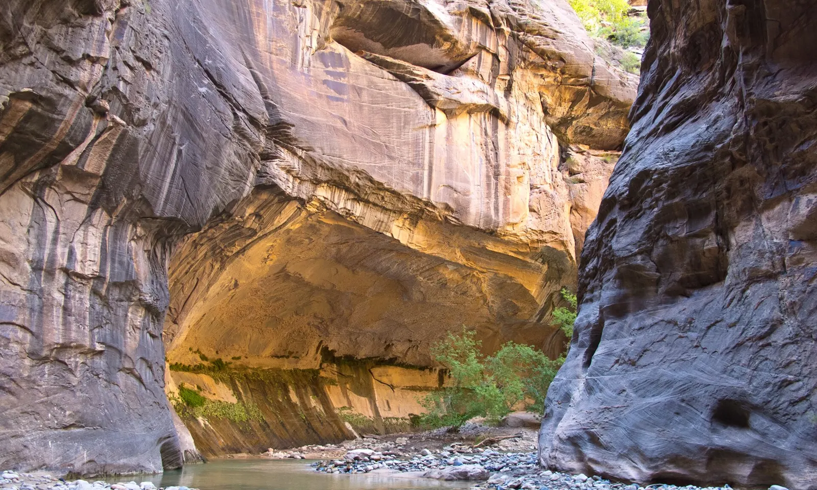
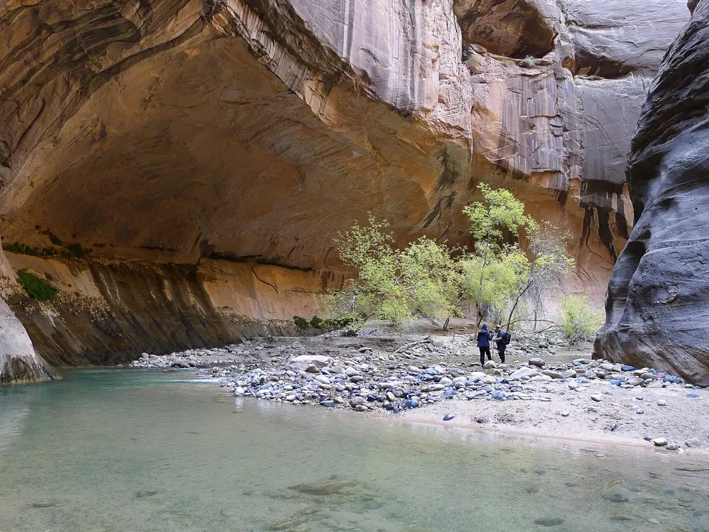
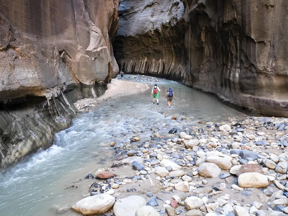
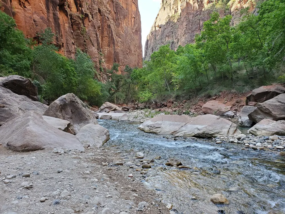
The Narrows is the slot at the top of Zion Canyon, where the North Fork of the Virgin River runs between walls about 300 m high and the river is sometimes only 6 to 9 m wide. For most of the way the river is the trail, so you walk upstream in the water between the sandstone walls.
The route
From the Temple of Sinawava, the paved Riverside Walk runs 1.6 km to its end, where you step into the river and wade upstream, crossing from bank to bank. Past Orderville Canyon comes the stretch called Wall Street, where the walls rise sheer from the water. Without a permit you can go as far as Big Spring and must turn back there, though many people walk in for an hour and return. With a wilderness permit you can instead hike the full 26 km top down, from Chamberlain's Ranch to the Temple of Sinawava.
When to go
Summer and early autumn bring the lowest and warmest water, and autumn weather is steadier, with colder water. Spring snowmelt often closes the canyon, as it did from 8 April to 19 June in 2023, and flash floods are more common in the July to September monsoon.
Getting there
The Temple of Sinawava is stop 9, the last on the free Zion Canyon shuttle, about 40 to 45 minutes from the Visitor Center. During shuttle season the Scenic Drive is closed to private cars, so note when the last shuttle leaves the canyon.
Permits and booking
No permit is needed to hike upstream to Big Spring. The top-down hike needs a wilderness permit, as a day trip or with one night in one of 12 designated campsites. Reserve on recreation.gov at least a day ahead, or for day trips enter the daily lottery two days before. A day trip costs $6 plus $10 per person, and an overnight trip $20 plus $7 per person per night. You arrange your own ride to Chamberlain's Ranch.
How hard it is
Walking on slippery stones against the current is tiring. Below 70 cubic feet per second the crossings are often knee deep, and from 70 to 150 they are thigh deep with chest-deep pools. The canyon closes above 150 (120 for top-down trips) and during any flash flood warning, until at least two hours after it ends.
Where to sleep
Zion Lodge sits on the shuttle route inside the canyon, and Springdale, outside the South Entrance, is linked to the Visitor Center by the free Springdale shuttle.
Tips
Wear closed-toed shoes and carry a sturdy walking stick. The park says sandals and bare feet are not suitable.
Wear quick-drying layers rather than cotton, and check the flow and flash flood forecast before you start.
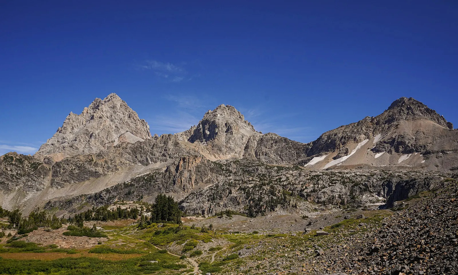
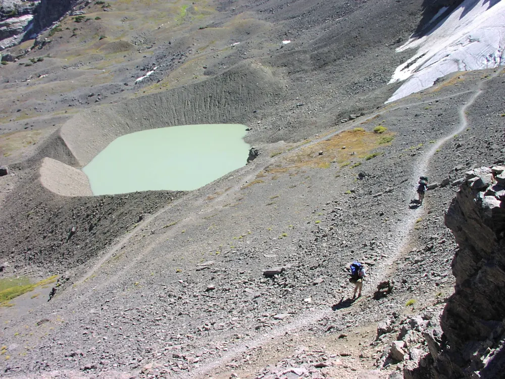
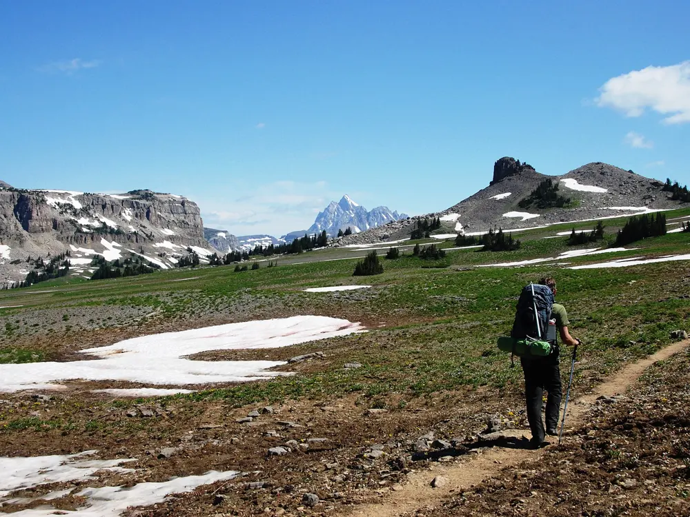
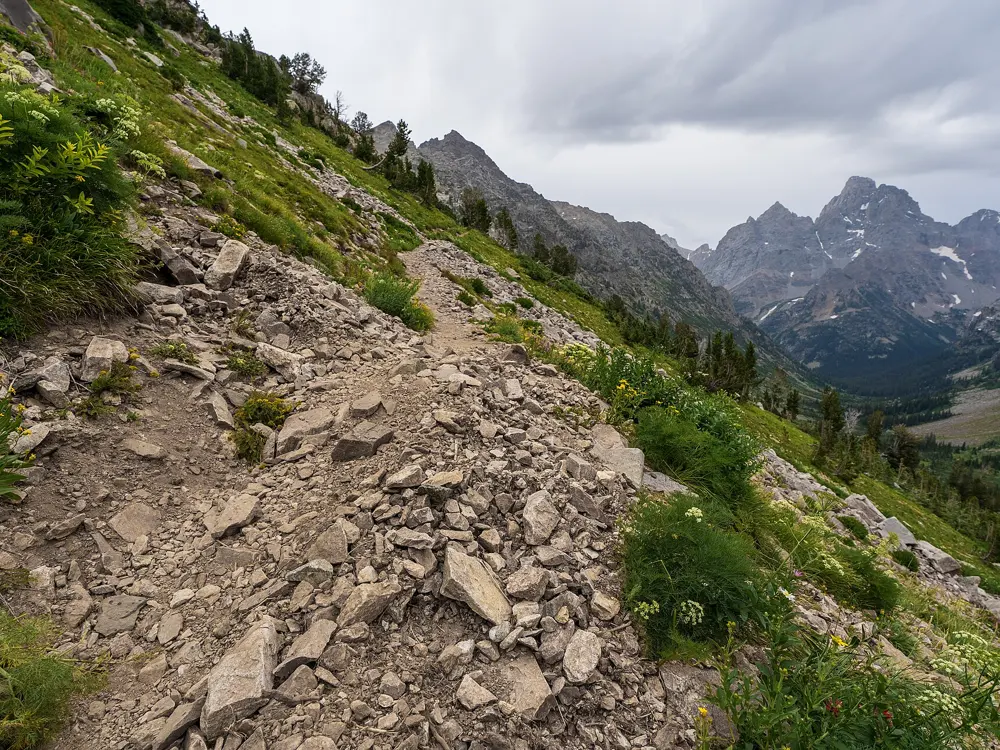
The Teton Crest Trail follows the high spine of the Teton Range for several days, staying above the canyons instead of dropping into them. It crosses the alpine meadows of Alaska Basin, traverses the Death Canyon Shelf and climbs Hurricane Pass, where the Grand Teton stands directly across the head of Cascade Canyon.
The route
The full trail runs about 63 km point to point, from Phillips Pass outside the park to String Lake, with more than 2,700 m of climbing. It passes in and out of the national forests, entering Caribou-Targhee at Fox Creek Pass and Alaska Basin. Starting at the Granite Canyon trailhead keeps you inside the park on a four-night route of about 62 km to String Lake via Paintbrush Canyon, and the aerial tram from Teton Village saves about 6 km and 730 m of climbing. The park advises against crossing more than one pass in a day.
When to go
Valley trails are usually clear of snow by mid-June, but the passes may hold snow until late July, and the park says backpacking is usually more enjoyable in August and September. Afternoon thunderstorms are common.
Getting there
Jackson Hole Airport sits inside Grand Teton National Park, about 11 km north of the town of Jackson. The trail ends at String Lake, so you need a second car or a lift between trailheads. In 2026 the Death Canyon Trailhead is closed for construction on Death Canyon Road.
Permits and booking
Every night in the park's backcountry needs a permit. About a third of the sites can be reserved on recreation.gov from early January until two days before your trip, and the rest are given out in person at park permit offices no more than one day ahead. Each permit costs $20, plus $7 per person per night. The camping zones along the trail are full almost every night from late July to early September.
How hard it is
This is a long, strenuous trip with heavy packs at altitude. Where snow lingers on the passes, the park says an ice axe, crampons and the ability to self-arrest are essential. Black and grizzly bears live throughout the range.
Where to sleep
On the trail you camp in mountain camping zones, where you may pitch anywhere inside the zone's boundary, with no campfires. Before or after the trip, Jenny Lake Campground at the base of the range is booked on recreation.gov up to six months ahead.
Tips
Food and anything with a scent must go in an approved bear canister, and the park lends them free with your permit.
For planning, the park suggests about 3 km an hour, adding an hour for every 300 m of climbing.
Water is plentiful, though some sources dry up in late summer, so carry a filter.
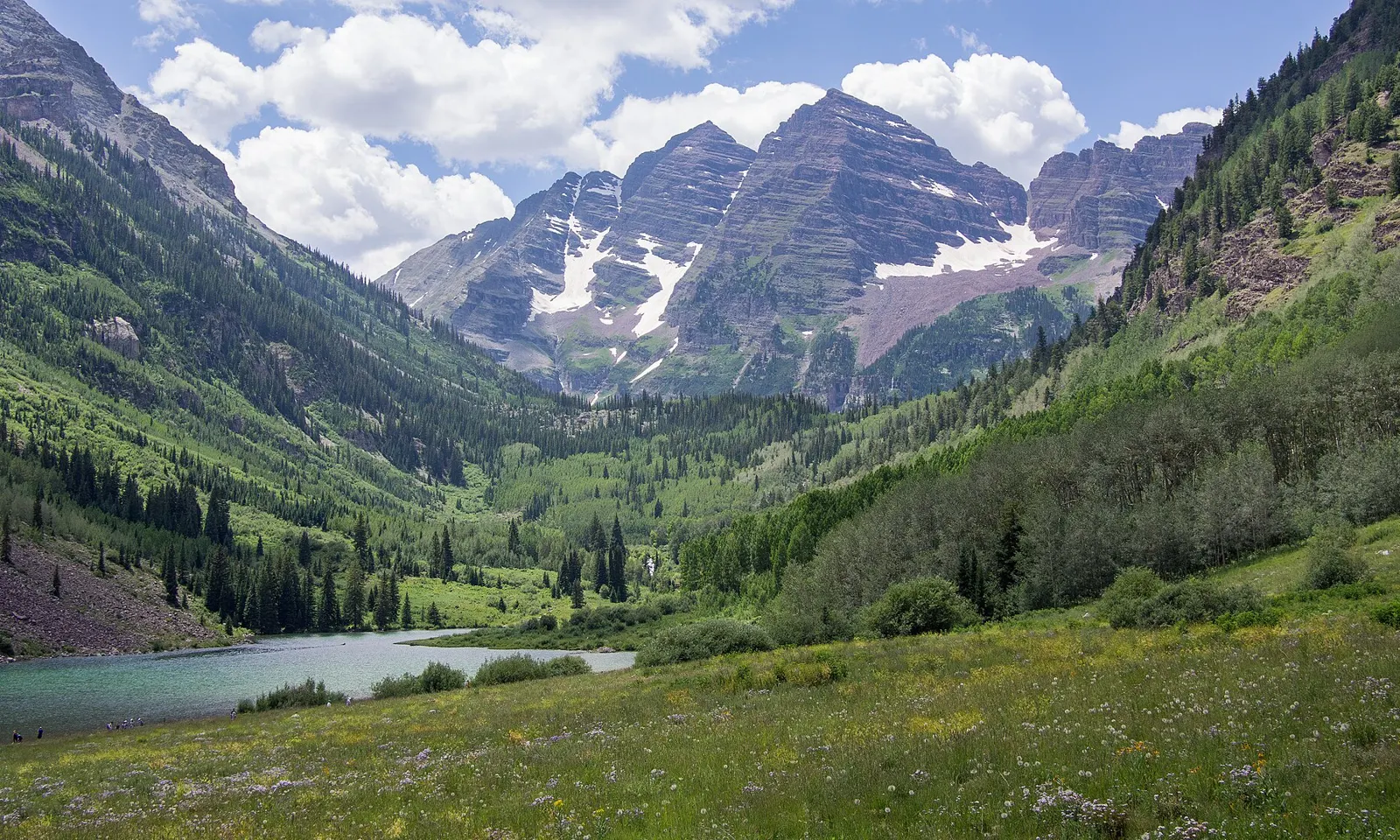
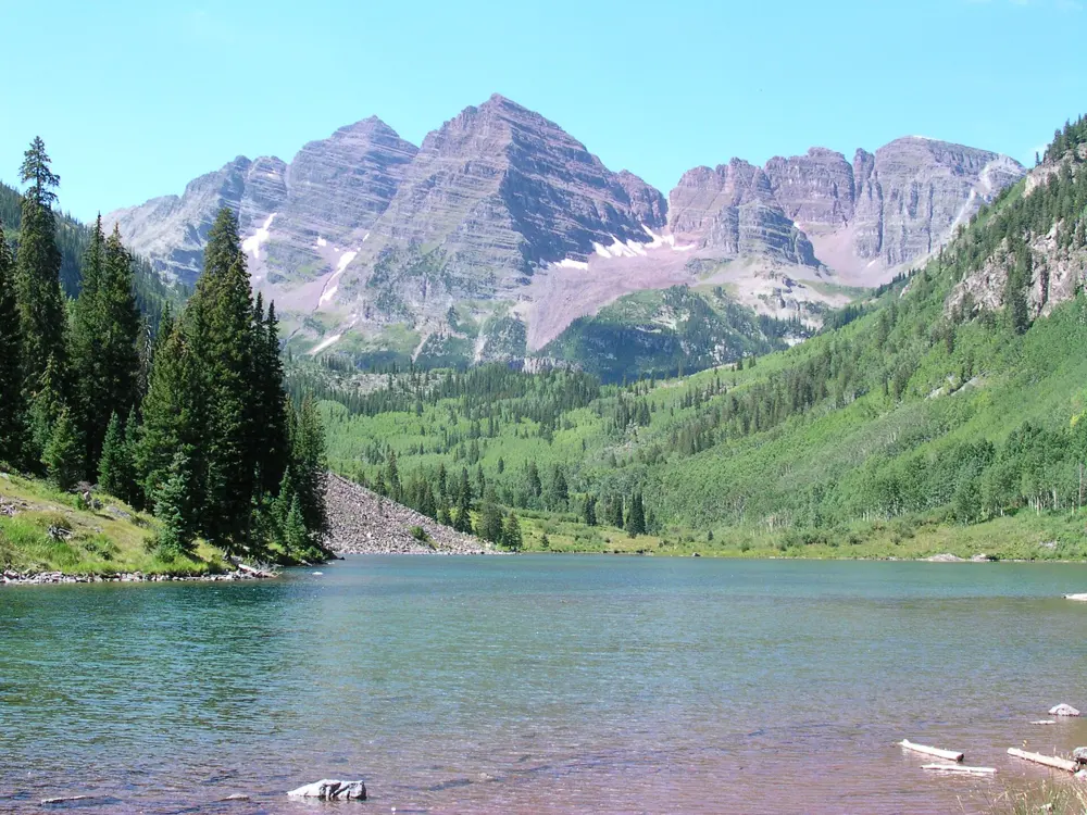
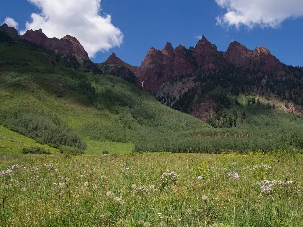
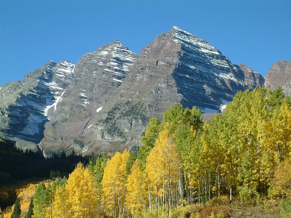
The Four Pass Loop circles the Maroon Bells, two peaks of maroon mudstone about 19 km southwest of Aspen, and crosses four passes that each stand above 12,000 feet (about 3,660 m). Between the passes the trail drops into wildflower basins, past waterfalls and down to Snowmass Lake.
The route
From the Maroon Lake trailhead at about 2,920 m, the counterclockwise route climbs to Buckskin Pass, reached after about 7.4 km. It descends to Snowmass Creek, crossed on logs, and the Snowmass Lake spur, then climbs to Trail Rider Pass below Snowmass Mountain. A long descent to the North Fork of the Crystal River, with Geneva Lake on a side trail, is followed by a climb through Fravert Basin to Frigid Air Pass. A short drop into Purity Basin leads up to West Maroon Pass, the high point at about 3,810 m, and the West Maroon Valley takes you back past Crater Lake.
When to go
July to September is the best time. From early October to late June the campsites, trails and passes are usually under snow, and early summer snowmelt makes the river crossings dangerous. Try to be over each pass before afternoon thunderstorms build.
Getting there
Maroon Lake is reached from Aspen by Maroon Creek Road. In 2026 the road was closed to inbound private cars from 8 am to 5 pm between 22 May and 18 October, and the shuttle ($16 for adults) runs from the Maroon Bells Welcome Center at Aspen Highlands. Trailhead parking, overnight included, needs a $10 reservation, and overnight parkers must arrive before 8 am or after 5 pm on the first day.
Permits and booking
Camping anywhere on the loop needs an overnight permit booked in advance on Recreation.gov, all year, with a permit for every zone you camp in. Permits are released on 15 February and 15 June. From 1 May to 31 October the fee is $10 per person per night, children 16 and under free, plus a $6 reservation fee, and most permits allow up to 4 people.
How hard it is
This is a strenuous trip with steep switchbacks on every pass, a full pack at altitude, and creek crossings that may need wading early in the season.
Where to sleep
You camp in the wilderness, at an established site 70 big steps from trails and water, or at your reserved site where a zone has designated ones. Campfires are banned above about 3,290 m, which includes Snowmass Lake.
Tips
Food, trash and anything with a scent must go in an IGBC-approved bear-resistant container, and anyone without one is ticketed and sent out. Local shops rent them.
Print your permit up to 14 days ahead and carry it with photo ID, because the permit holder or the named alternate leader must be on the trip.
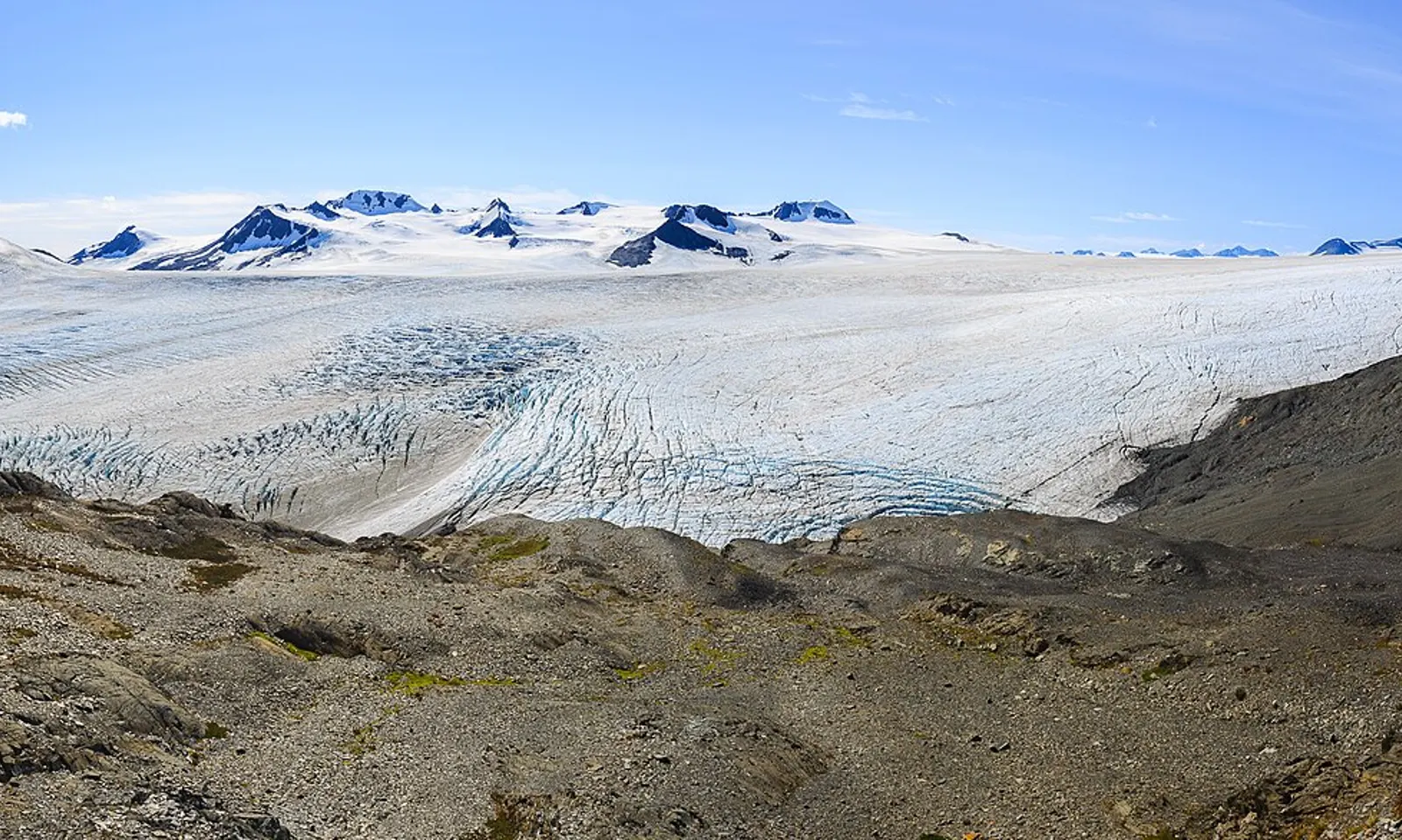
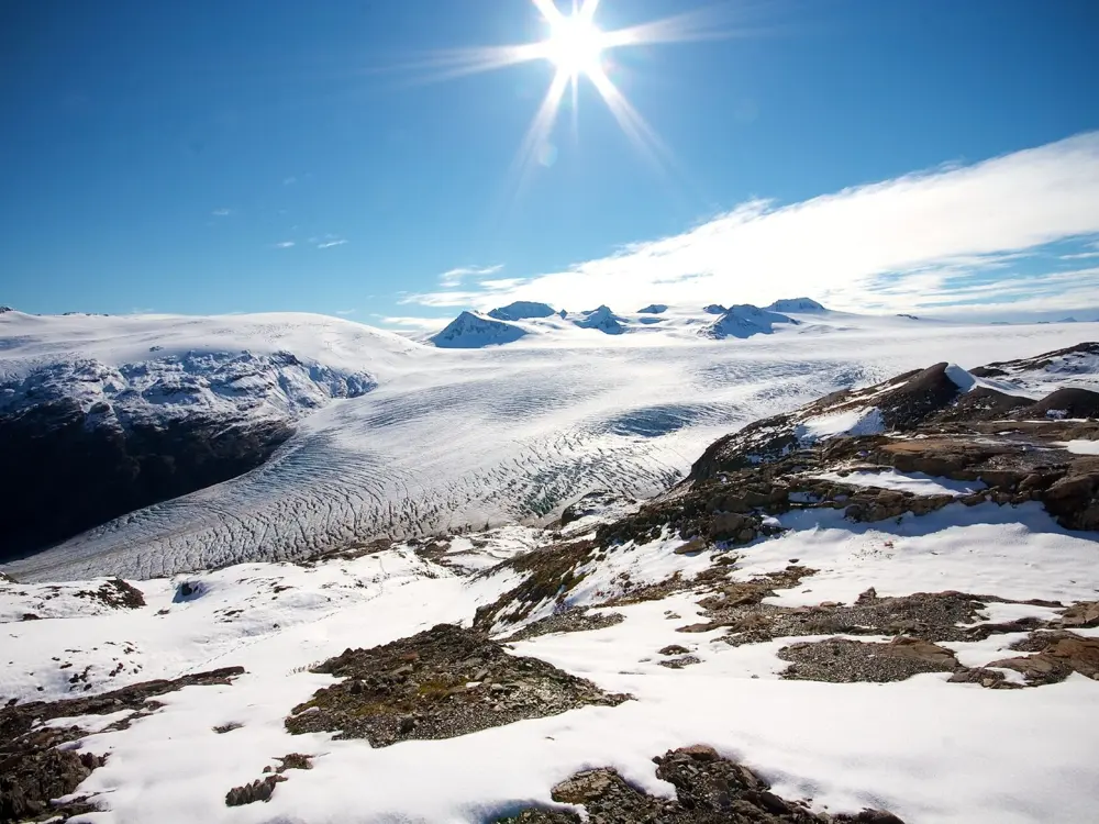
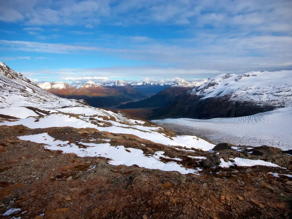
The trail climbs beside Exit Glacier to the edge of the Harding Icefield, which formed more than 23,000 years ago and, with its glaciers, covers about 1,800 square kilometres of the Kenai Mountains. From the end of the trail the ice runs as far as you can see, broken only by nunataks, the mountaintops that push through it.
The route
From the trail register near the Exit Glacier Nature Center the path climbs steadily, gaining roughly 300 m for every 1.6 km. It crosses a bridge at about 1.2 km, reaches Marmot Meadows at 2.3 km and Top of Cliffs at 3.7 km, where the views over Exit Glacier open up. The last stretch passes an emergency shelter and ends at about 1,075 m, 6.3 km from the start, before you return the same way.
When to go
The upper trail is often under snow through early July, and there can be avalanche danger. Outside summer the route becomes a mountaineering climb with steep snow and hard route-finding. The road to Exit Glacier is usually closed to cars by snow from late October to mid-May.
Getting there
Seward is about 203 km south of Anchorage by the Seward Highway, and the Alaska Railroad runs between the two from May to September. From mile 3.7 of the highway near Seward, Herman Leirer Road (Exit Glacier Road) runs about 14 km to the nature center. Parking is limited from 10:30 to 15:30, and shuttles and taxis run from Seward.
Permits and booking
No permit is needed for the day hike, and Kenai Fjords charges no entrance fee.
How hard it is
The park calls it strenuous, and it is steep most of the way. Expect mud, rain, rockfall and snow, and in snowy sections follow the orange flags. Black bears are seen almost every day, often in the salmonberry thickets, and search and rescue resources are limited.
Where to sleep
The Exit Glacier campground, about 400 m before the nature center, has 12 tent-only sites, first come, first served, and no camping fee. You may also camp along the trail corridor at least 200 m from the path, on bare rock or snow and out of sight, but not in the emergency shelter. Otherwise, stay in Seward.
Tips
There is no water on the trail, so carry at least 2 litres per person or a filter, as stream water may carry Giardia.
Carry bear spray and make noise in thick brush, and never get between a mother bear and her cubs.
The park highly recommends trekking poles and extra water for the steep climb and the long way down.
08 / 10
Keoneheʻeheʻe (Sliding Sands) and Halemauʻu Trails
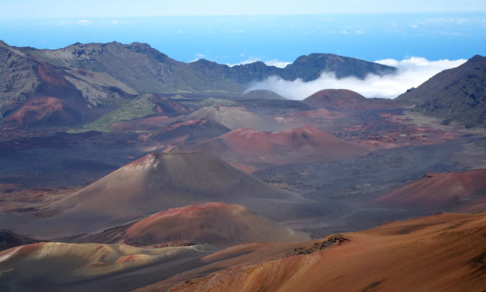
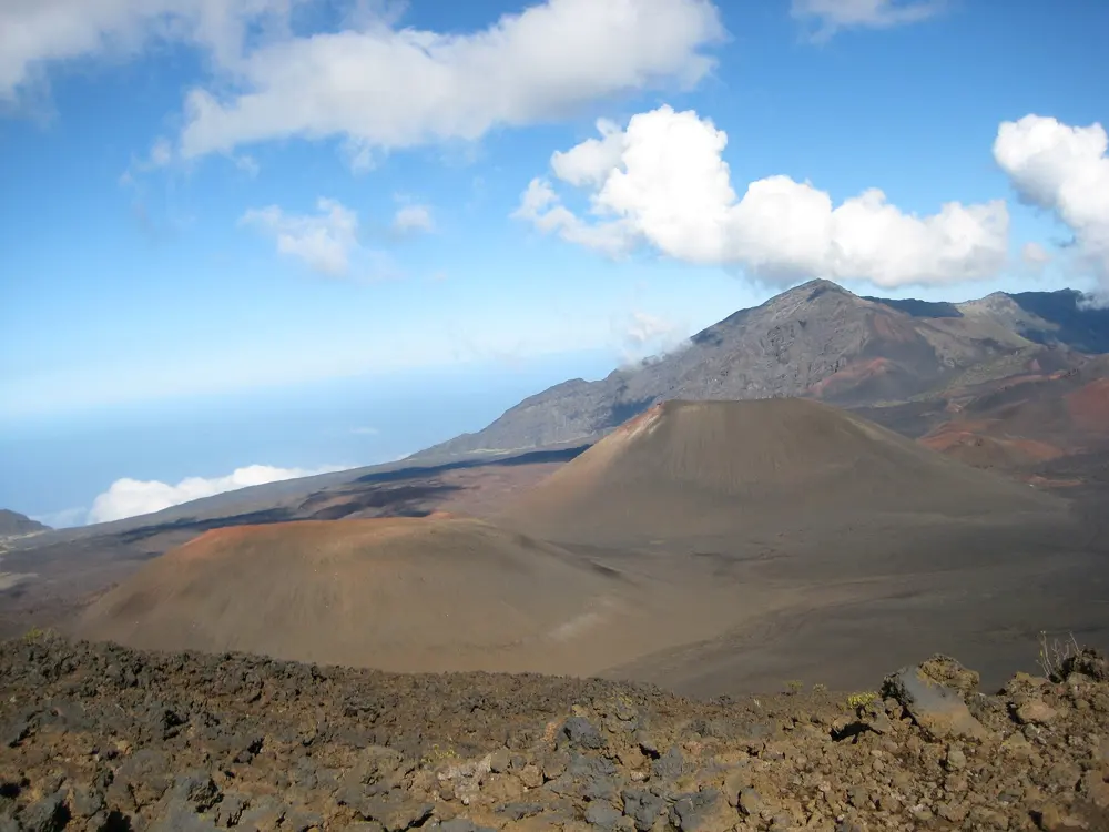
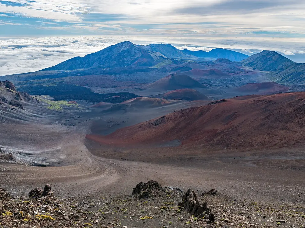
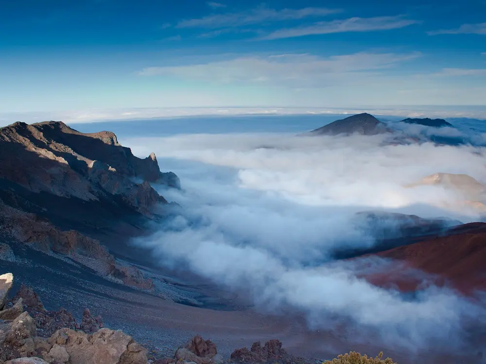
This crossing starts beside the Haleakalā Visitor Center, just below the 3,055 m summit of the volcano, and drops onto the floor of its crater, a wide basin of red and grey cinder cones. You leave by the Halemauʻu Trail, which zigzags up the crater wall to a trailhead lower down the summit road.
The route
The Keoneheʻeheʻe Trail descends almost 760 m over about 6.3 km on loose cinder. Near the halfway point you pass Pele's Paint Pot, a stretch of coloured cinder, and Kawilinau, a volcanic pit about 20 m deep. The route then joins the Halemauʻu Trail, which passes Hōlua cabin at 2,115 m and climbs the crater wall in switchbacks with stone retaining walls. Past Rainbow Bridge, a natural land bridge, and the first crater viewpoint, a rocky 1.8 km path leads to the Halemauʻu Trailhead at 2,436 m.
When to go
The park is open all year. Summit temperatures run from below freezing to daytime highs of 10 to 18°C, and wind and cloud make it feel colder. The weather changes often, so bring rain and cold gear in any season.
Getting there
The park offers no hiker shuttle between the two trailheads. It suggests leaving your car at Halemauʻu and hitchhiking up to Keoneheʻeheʻe at the start of the day, and warns that fewer visitors offer rides in bad weather. Entry costs $30 per private vehicle for three days.
Permits and booking
The day hike needs no permit. Entering the park between 3 and 7 a.m. needs a $1 sunrise reservation per vehicle from recreation.gov, booked up to 60 days ahead, and none are sold at the gate. Tent sites at Hōlua and Palikū are booked on recreation.gov up to six months ahead, for up to three nights. The park was closed twice in 2026, after record rain in March and ahead of Hurricane Nolo in September, and reopened on 27 September.
How hard it is
The way down is easy going, but the climb out is at high altitude and the park says to allow twice the time for it. Watch for altitude sickness: nausea, headache, dizziness and shortness of breath. Groups are limited to 12 people.
Where to sleep
Hosmer Grove campground in the Summit District takes reservations. In the crater, the Hōlua, Kapalaoa and Palikū wilderness cabins each have 12 padded bunks, booked on recreation.gov. Overnight visitors may not enter before 7 a.m. without a sunrise reservation.
Tips
There is no drinking water on the trail and none for sale in the park, so fill up at the visitor center. Crater spigots are non-potable and may be dry in drought.
There is no phone signal in the crater, so leave your plan with someone who will report you overdue.
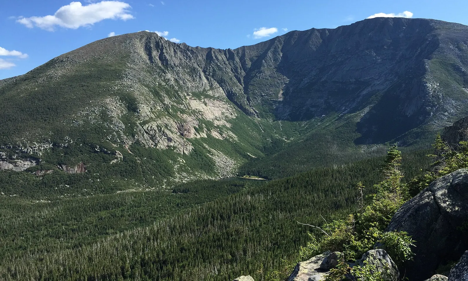
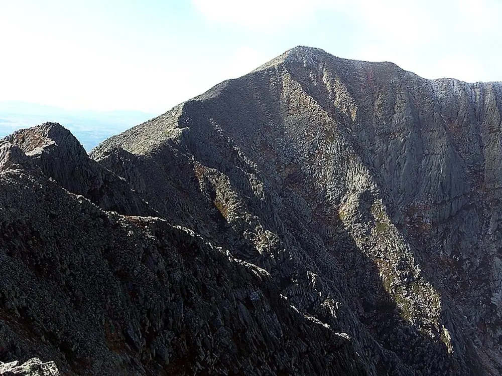
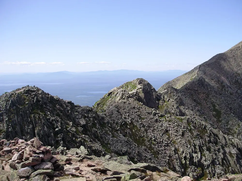
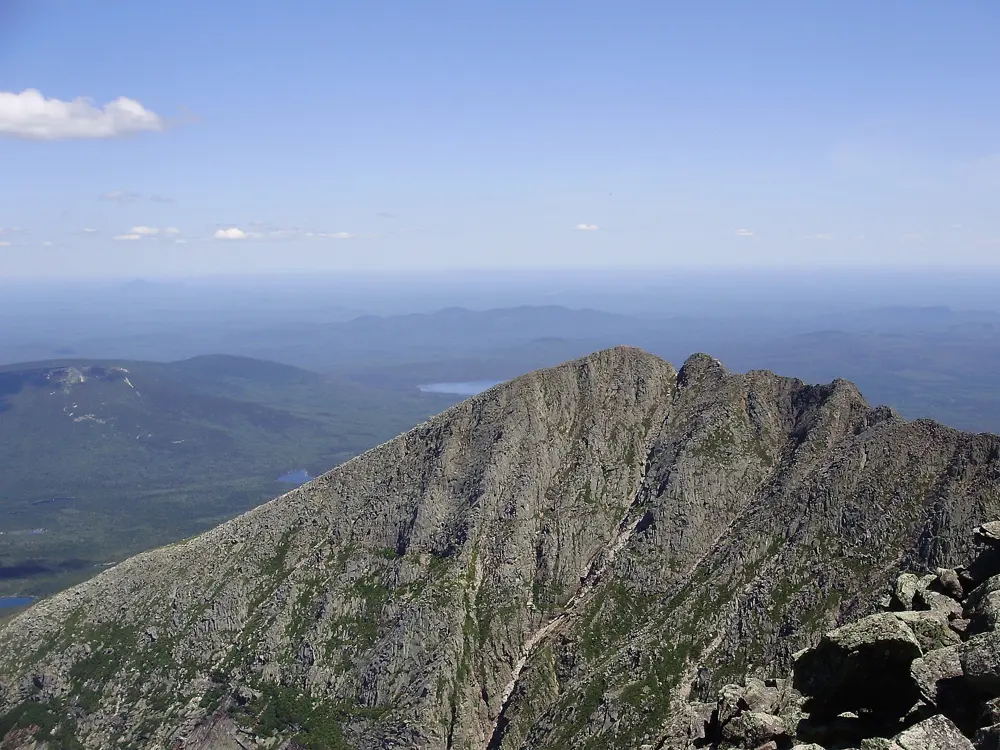
Katahdin is the highest mountain in Maine, and since 1933 its summit, Baxter Peak, has been the northern end of the Appalachian Trail. The Knife Edge, a narrow granite arête between Pamola Peak and Baxter Peak, is the most famous way across the top.
The route
The classic loop starts at Roaring Brook Campground. The Helon Taylor Trail climbs 5.1 km and about 1,040 m up an open ridge to Pamola Peak. From there the Knife Edge runs 1.8 km to Baxter Peak, gaining another 111 m, and takes 1 to 1.5 hours. You come down the Saddle Trail for 3.5 km to Chimney Pond, then follow the Chimney Pond Trail 5.3 km back to Roaring Brook.
When to go
Katahdin Trailhead Passes run from June 1 to October 15, and the park advises summiting before October 15, as the mountain closes when the weather turns. In 2026 every Katahdin trail closed on October 13. Pick a clear, calm day: the Knife Edge is no place to be in wind or storms.
Getting there
Millinocket is the nearest town, 26 miles (about 42 km) by road from Roaring Brook. Everyone enters through Togue Pond Gate, which opens at 6 a.m. Vehicles from outside Maine pay a $20 entrance fee, in cash.
Permits and booking
To park at Roaring Brook, Katahdin Stream or Abol from June to October you need a Katahdin Trailhead Pass, which costs $10 per vehicle and goes on sale from April 1 online or on 207-723-5140. Bookings are limited to two per calendar month, passes are not refundable, and a pass expires if you are not in the line at Togue Pond Gate by 7 a.m. Groups are limited to 12, and pets are not allowed in the park.
How hard it is
The Helon Taylor Trail and the Knife Edge are both rated very strenuous, and a Katahdin day means about 1,200 m of climbing. The Knife Edge is completely exposed, people have died or been badly hurt on it in bad weather and high winds, and the park says not to try to leave the ridge once you have started. Most rescues happen on the way down, so allow as long for the descent as for the climb.
Where to sleep
Roaring Brook Campground, at the start of the loop, has lean-tos, tent sites and a bunkhouse, and Chimney Pond has 9 lean-tos and a bunkhouse. Sites open on a four-month rolling window, and Chimney Pond is booked by phone, mail or in person only.
Tips
There is no water on the Knife Edge, so carry about 2 litres per person and treat any water you take from streams.
If you are not on top by mid afternoon you will probably not get down before dark, and a headlamp is required by park rule.
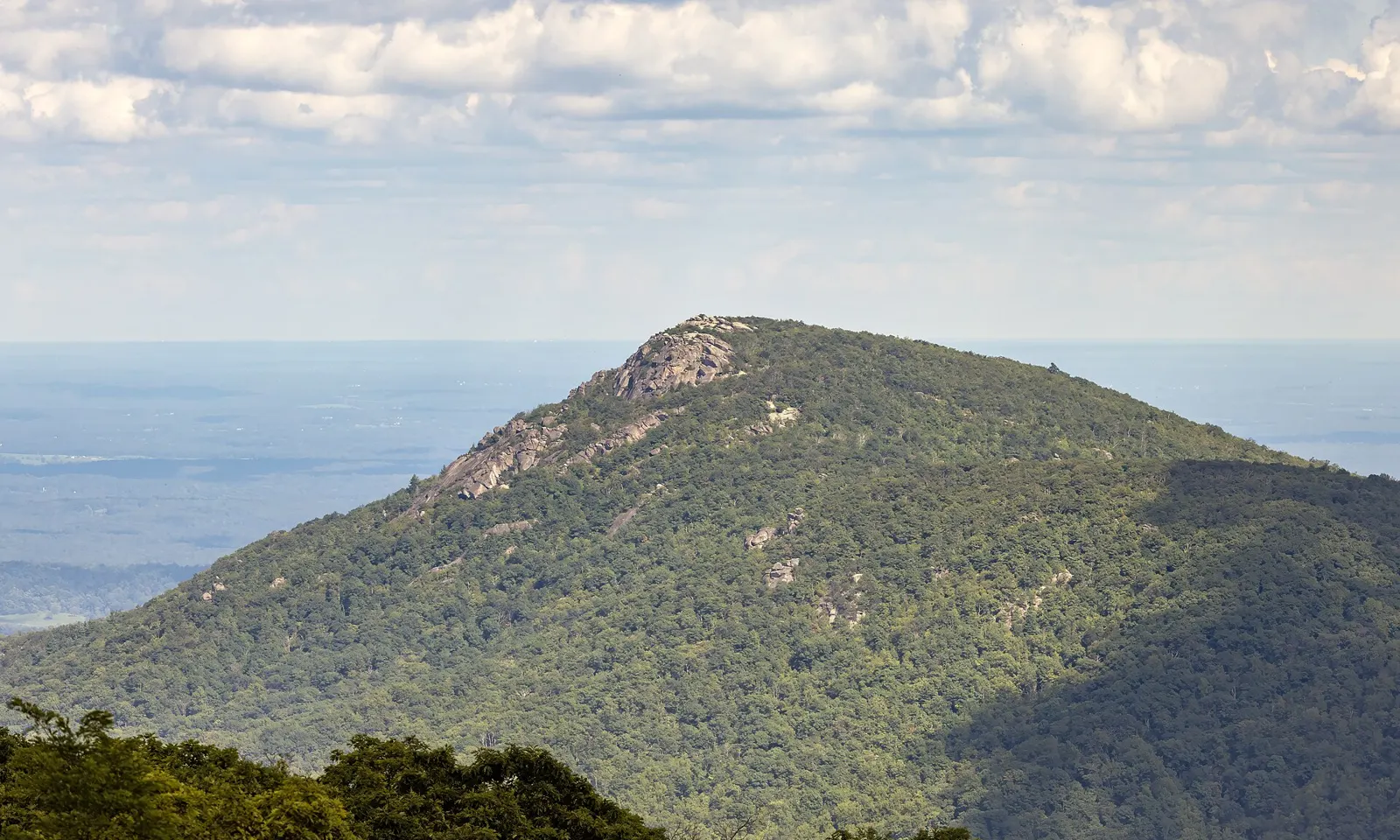
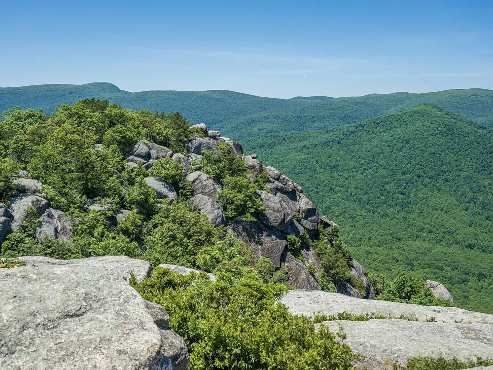
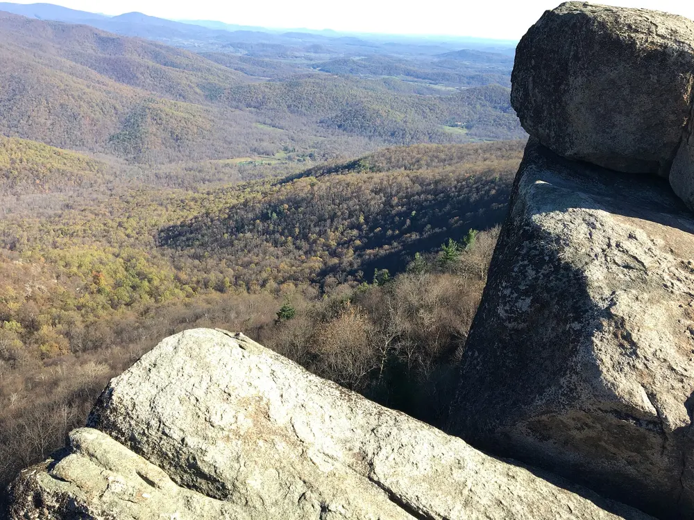
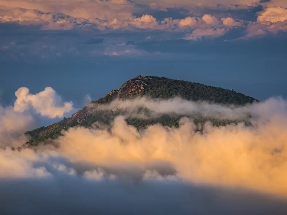
Old Rag is the most popular destination in Shenandoah National Park, a mountain of granite formed about a billion years ago. The Ridge Trail turns into a long rock scramble near the top, and the summit gives a 360-degree view.
The route
From the Old Rag parking area at the park boundary, the blue-blazed Ridge Trail climbs about 2.6 km through forest to the first false summit, then becomes a scramble of about 1.8 km to the top. You descend on the Saddle Trail past Old Rag Shelter, go right twice onto the yellow-blazed Weakley Hollow Fire Road, then take the Ridge Access Trail back to the start.
When to go
The trail is open all year, and day-use tickets are needed from March 1 to November 30. The park says not to hike Old Rag when the rocks are wet or icy. Parking is tightest on October weekends, especially Saturdays.
Getting there
The trailhead is on the park's eastern boundary, not on Skyline Drive. From Sperryville take Route 522 south, Route 231 for 8 miles, then Route 601 for about 3 miles. From May 4, 2026 the main parking lot is closed for construction expected to finish in November 2026, so use the overflow lots. Parking is free but not guaranteed.
Permits and booking
From March 1 to November 30 every hiker on the Ridge, Saddle and Ridge Access trails needs an Old Rag day-use ticket, $2 per person of any age, booked on recreation.gov. 800 tickets are offered each day: 400 thirty days ahead and 400 five days ahead, both at 10 a.m. Tickets are not sold at the trailhead, are not refunded, and come on top of the park entrance pass, which is $30 per vehicle for seven days.
How hard it is
The park rates the circuit very strenuous. The scramble needs upper body strength, and there can be long waits at the tight spots, so know when it gets dark and leave extra time. Pets are not allowed on the circuit.
Where to sleep
Backcountry campsites near Old Rag are very limited, camping is banned above 2,800 feet (about 850 m), and you need a permit. Sperryville is the nearest town, and the drive from there to the trailhead is about 12 miles (19 km).
Tips
There is no water on the mountain, so bring plenty, along with a torch and an extra layer.
Cell and GPS signal are unreliable, so buy tickets and passes before you arrive and note the blue numbers painted on the rocks to tell rescuers where you are.
Sources
Distances, heights, seasons and permit rules were checked against these pages. Rules change, so check the park or trail authority before you go.