A great place to run gives you ground you would cross the world for, and lets you cover it on foot at your own pace. Some of these are mountain trails where the climbing is the point. Others are city loops that thousands of runners share every morning, and one is a small Kenyan town where the world's best distance runners live and train.
These ten cover trail, fell, road and park running on six continents. For each one you get the classic runs, the best season, how to get there, any permits, fees or races to know about, how hard it is and where runners stay. Every fact comes from park and city authorities, tourism boards, race organisers or other pages linked at the bottom.
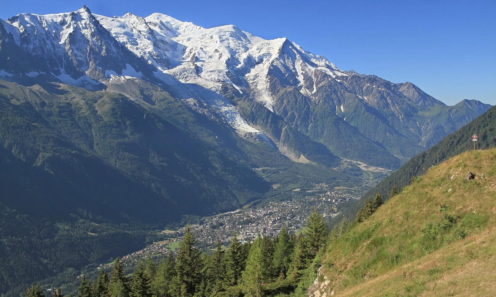
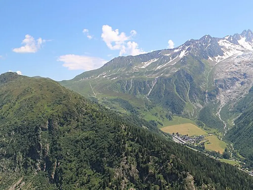
Chamonix sits at about 1,035 m under the Mont Blanc massif, and lifts climb straight out of town to balcony paths that run for kilometres above the valley, facing the glaciers. The Ultra-Trail du Mont-Blanc has been based here since 2003, and since 2023 the town has hosted the UTMB World Series finals, so for one week in late August more than 10,000 runners arrive.
The route
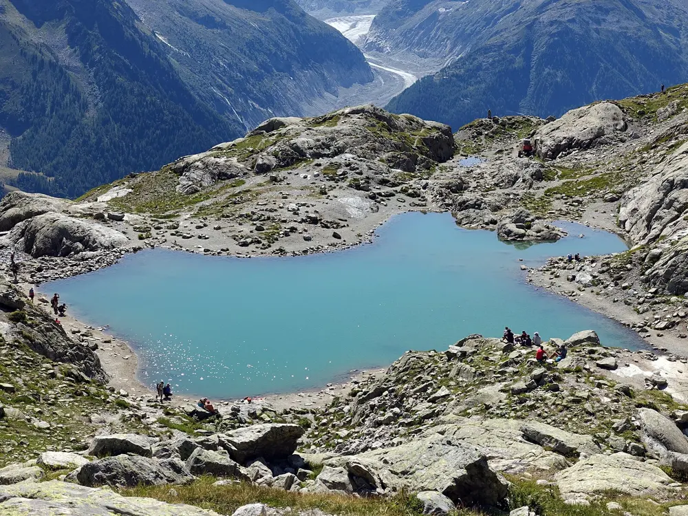
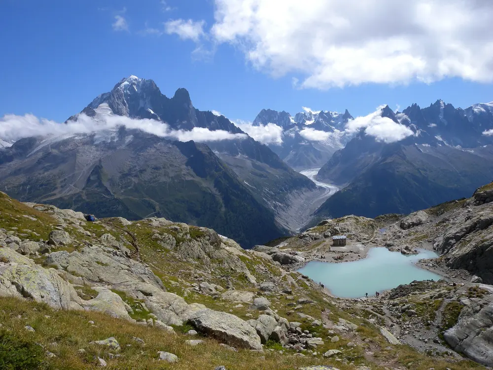
The Grand Balcon Sud runs along the sunny side of the valley from Planpraz to La Flégère, mostly above the tree line over pasture, boulders and scree, facing Mont Blanc. From La Flégère, Lac Blanc is 7 km there and back with 500 m of climbing. Across the valley the Grand Balcon Nord runs 5.7 km from Plan de l'Aiguille, the Aiguille du Midi mid-station, to Montenvers above the Mer de Glace, with 523 m of descent.
When to go
The high season is short. In 2026 the tourist office listed the Lac Blanc trail from 1 July to 30 September and the Grand Balcon Nord from 15 June to 31 October, both subject to lifts and snow. The Marathon du Mont-Blanc ran on 25 to 28 June 2026, and UTMB week on 24 to 30 August.
Getting there
Geneva airport is 88 km away. Flixbus runs daily from the airport, or take the Léman Express to Saint-Gervais-les-Bains-Le Fayet and change to the Mont-Blanc Express. The guest card from your accommodation gives free train travel between Servoz and Vallorcine.
Permits and booking
No permit is needed to run. Lac Blanc lies in the Aiguilles Rouges nature reserve, where dogs are banned even on a lead, camping is prohibited and nobody may swim in Lac Blanc or the Lacs des Chéserys. UTMB entry needs a valid UTMB Index in the 100K or 100M category and at least one Running Stone, and places go by lottery in January. The 2026 fee was 479 euros.
How hard it is
Lifts do much of the climbing, but these are rocky mountain paths. The tourist office rates the Lac Blanc climb difficult for its gradient, and the steep shortcut down to Montenvers crosses gullies that are dangerous in snow. The full UTMB loop climbs 9,700 m through France, Italy and Switzerland, with a limit of 45 hours 30 minutes.
Where to sleep
Chamonix town has the most beds. The Refuge du Lac Blanc, at the lake, opened from 3 June to 29 September 2026, half board and cash only.
Tips
Snowfields often linger on high paths in June. Ask the Office de Haute Montagne before going high and carry light crampons after a freeze.
Book beds and airport transfers early for UTMB week, when demand peaks.
All year; rains March to May and October to December
Why go
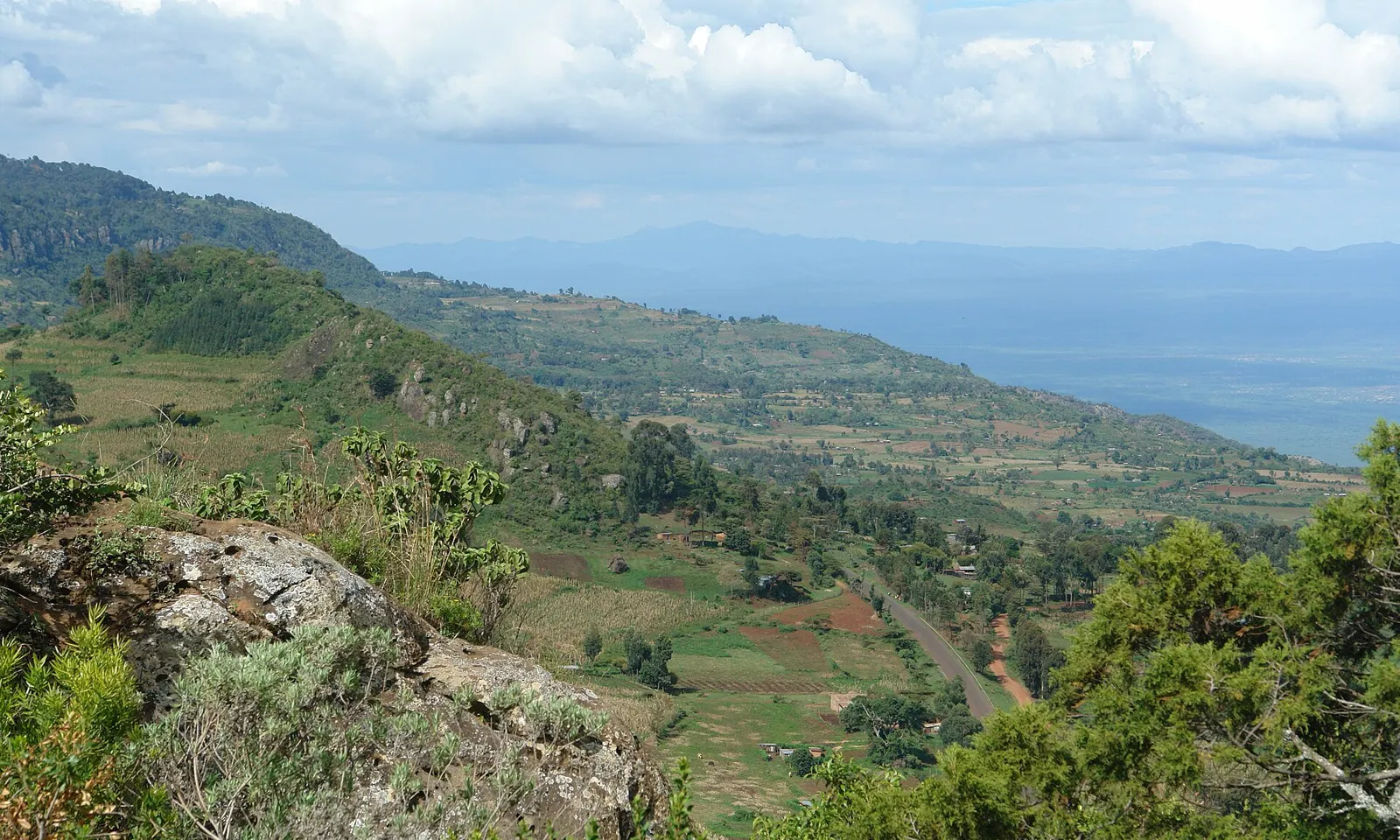
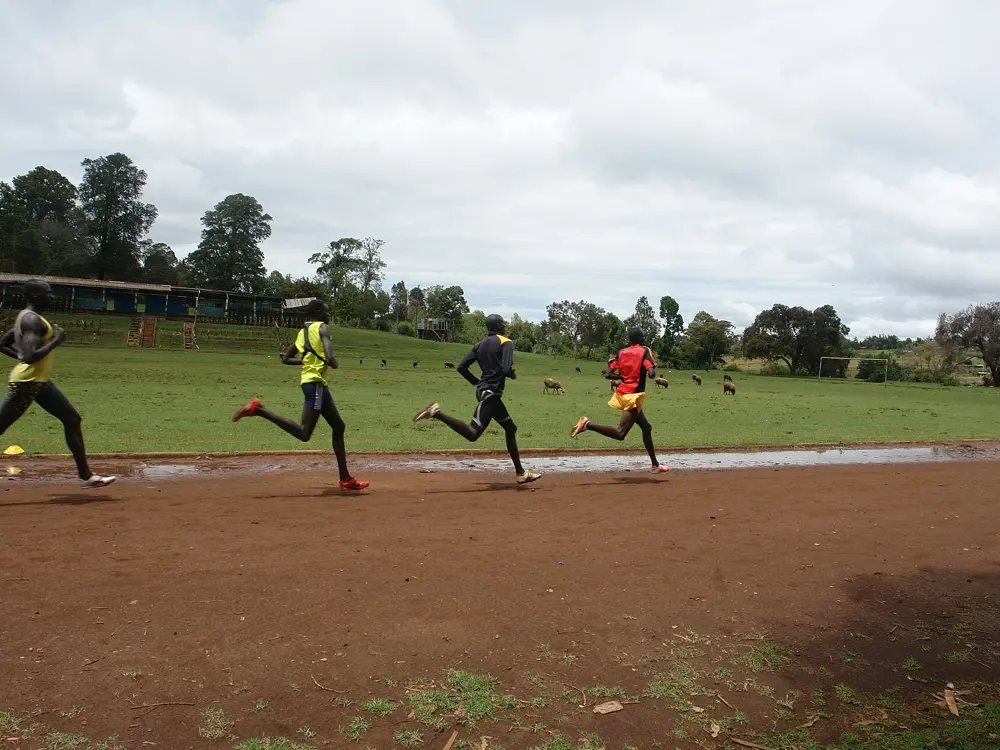
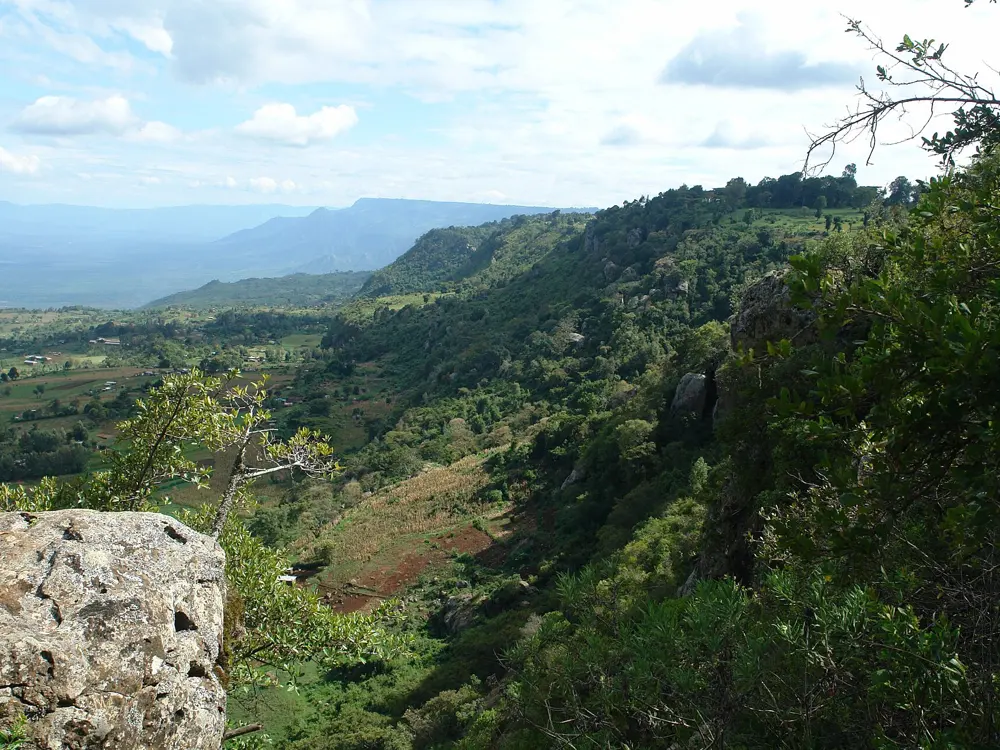
Iten calls itself the Home of Champions. The town sits at about 2,400 m on the edge of the escarpment above the Kerio Valley, and for decades Kenya's distance runners have lived and trained here. Brother Colm O'Connell, an Irish teacher who came to St. Patrick's High School in 1976 for three months and stayed, coached world champions here, and Lornah Kiplagat's High Altitude Training Centre welcomes runners of every level.
The route
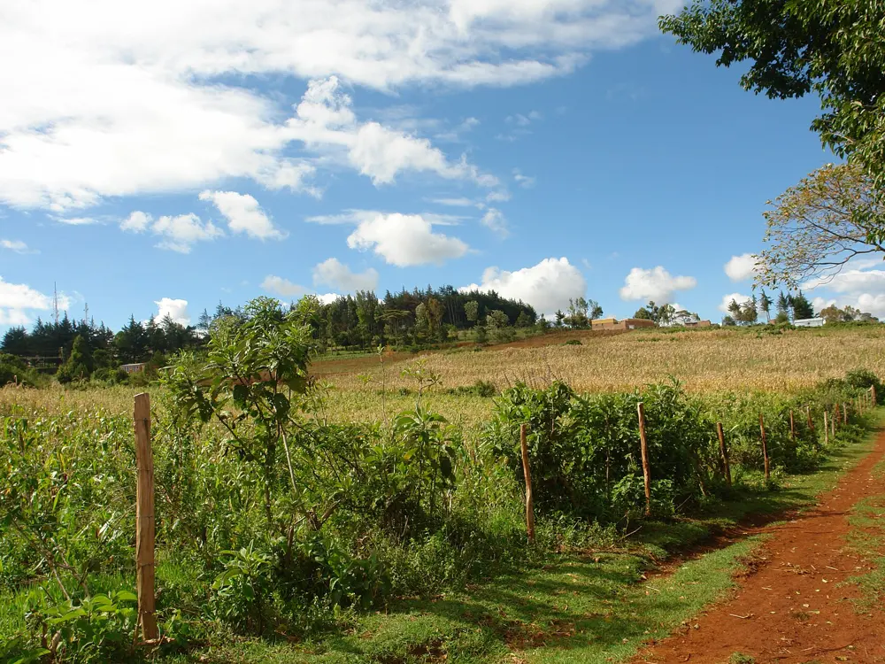
Most groups follow the same week: easy runs on Monday, Wednesday and Friday, track on Tuesday, fartlek or hills on Thursday and a long run on Saturday. The Thursday fartlek starts at 9am at a junction called Tairi Mbili, about 3 km north of the town centre on the Marakwet road, and often draws more than 200 runners. For the long run, groups drive to favourite 35, 38 and 40 km routes on flatter, lower ground nearer Eldoret. Easy days go out on dirt roads through farmland and forest.
When to go
Runners train here all year. The county has long rains from March to May and short rains from October to December, when the dirt roads turn to mud. Annual mean temperatures in the highlands are 18 to 22°C.
Getting there
Fly from Nairobi to Eldoret, about 45 minutes, then take a taxi to Iten, roughly an hour, or a matatu via Eldoret town.
Permits and booking
No permit or fee is needed to run the roads or join the group sessions. Kamariny Stadium, the old public track, is being rebuilt; in July 2026 work was running day and night with no completion date given, so ask whether it is open. The High Altitude Training Centre track is free for its guests. The UK FCDO does not advise against travel to this area. Kenya requires an eTA in advance and, from 5 October 2026, Kenyan government travel health insurance for most visitors. The FCDO also reports Ebola cases and border screening in Kenya.
How hard it is
Give yourself a few days of short, slow runs to adjust to the altitude before a hard session. The roads are dirt, often rocky and hilly, and the fartlek can be a fast 10 km tempo over that ground. The big groups run far quicker than most visitors.
Where to sleep
The High Altitude Training Centre takes guests on full board, with a 400 m tartan track, a 25 m pool, a gym and a physiotherapy clinic. Kerio View Hotel sits on the escarpment edge at 2,300 m, and there are smaller camps and guest houses in town.
Tips
Ask a group what they plan to do before you join, and find a slower one if it is too quick.
Pay a boda boda rider to meet you with water on a long solo run.
TCS New York City Marathon finish, 1 November 2026
Why go
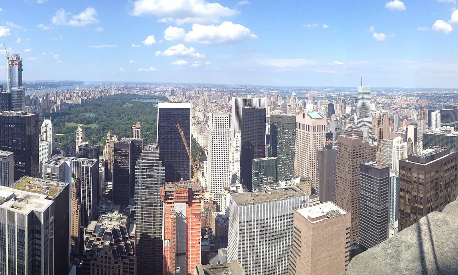
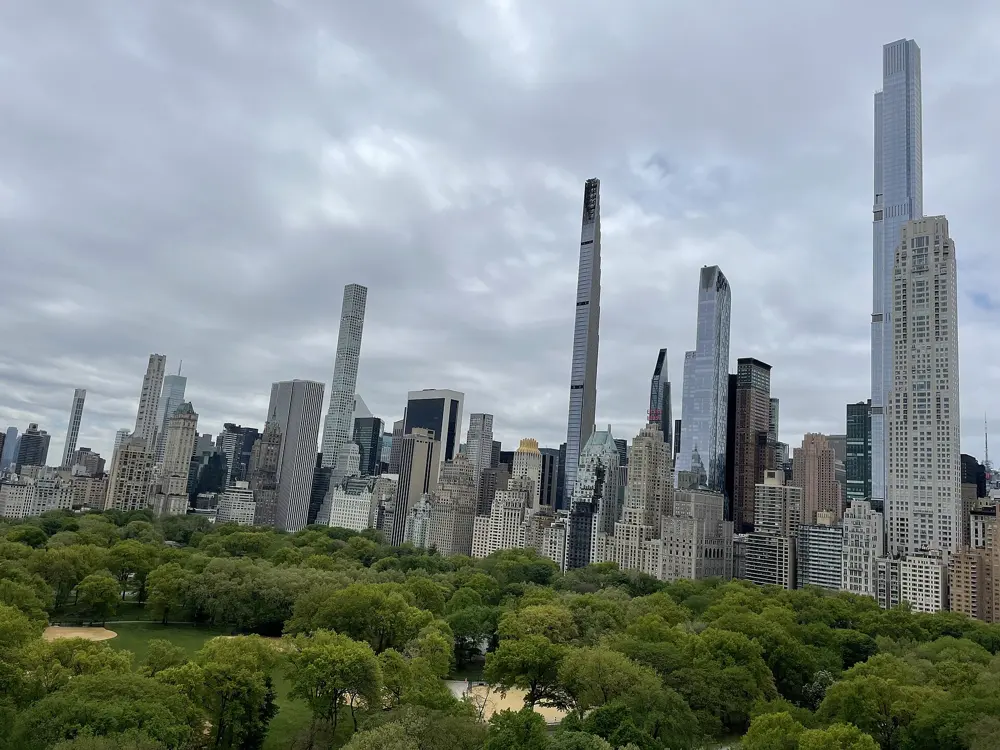
Central Park is where New York runs. Its drives have been closed to cars since June 2018, so the loop belongs to runners, cyclists and walkers. The city's marathon began here: the first one, on 13 September 1970, was four laps of the main drive with 127 entrants. It moved onto the streets of all five boroughs in 1976 and still finishes here on West Drive.
The route
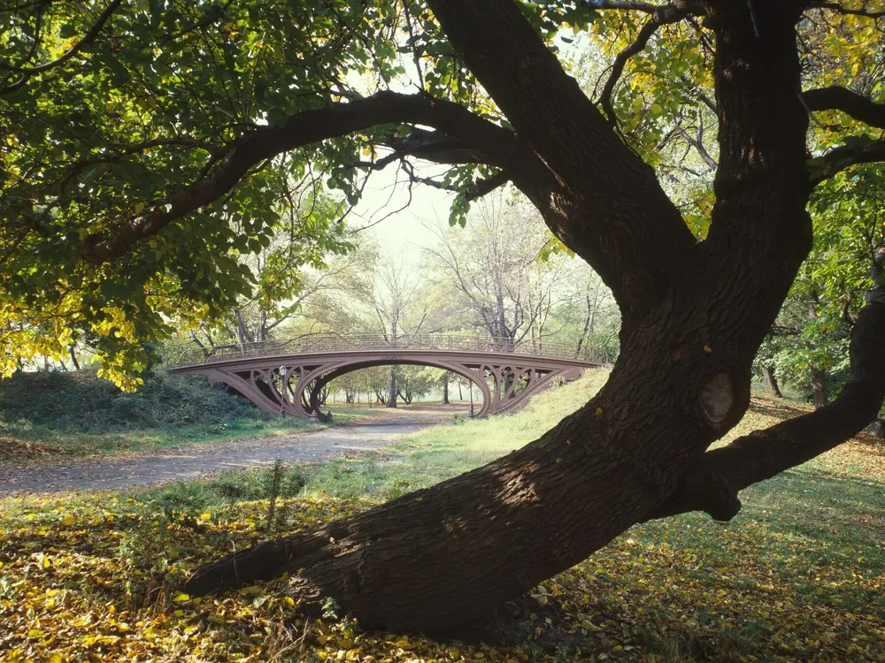
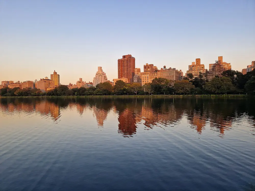
The full loop of the drives is 6.1 miles, with a lane on the far left for runners and walkers. Cutting across the 102nd Street transverse gives a 4 mile inner loop that skips the northern hills; New York Road Runners uses it for races such as the Midnight Run. The Stephanie and Fred Shuman Running Track circles the Reservoir between 86th and 96th Streets for 1.58 miles on crushed gravel. Beside it, the Bridle Path makes a 1.66 mile dirt loop and runs on south to the park's southwest corner and north to 104th Street.
When to go
Spring and autumn are the best seasons. The park is open daily from 6 am to 1 am. In winter only seven water fountains stay on. On marathon day, Sunday 1 November 2026, large parts of the park close to all visitors.
Getting there
The park runs from 59th to 110th Street between Fifth Avenue and Central Park West. Columbus Circle, on the A, B, C, D and 1 trains, is about 500 feet from the loop, and the B and C run along Central Park West. For the Reservoir, use Engineers' Gate at East 90th Street.
Permits and booking
No permit or fee is needed to run. Groups of more than 20 runners need a permit from NYC Parks. Bicycles are not allowed on the Bridle Path, and dogs there must be leashed. Marathon places come through NYRR's drawing, its guaranteed entry programmes and charities; the 2026 drawing closed in February.
How hard it is
The drives are paved; the Reservoir track and Bridle Path are soft underfoot. The south of the park is close to flat. The north is hilly, with Harlem Hill at the top of the loop and Cat Hill on the east side near 75th Street. Watch for fast cyclists, horses on the Bridle Path and crowds at the south end.
Where to sleep
Hotels on the Upper West Side or Upper East Side put you a few blocks from the Reservoir; those near Columbus Circle are closest to the south end of the loop.
Tips
Run the Reservoir track counterclockwise and keep right; the Conservancy expects partial closures there for maintenance through late fall 2026.
On the drives, clockwise runners take the inside lane and counterclockwise runners the middle one.
Carry away your gel wrappers, which draw animals to the paths.
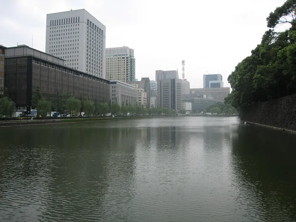
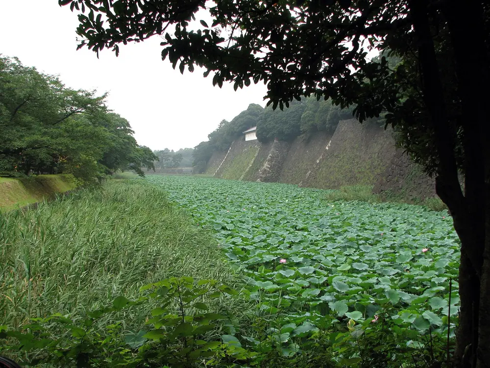
The path around the Imperial Palace is the most famous run in Japan, a lap of the old Edo Castle grounds where the Imperial Family now lives. You run beside wide moats and tall stone walls, with the towers of Marunouchi on one side and pines on the other. Because there are no traffic lights on the outer loop, you can run a full lap without stopping, which is rare in central Tokyo.
The route
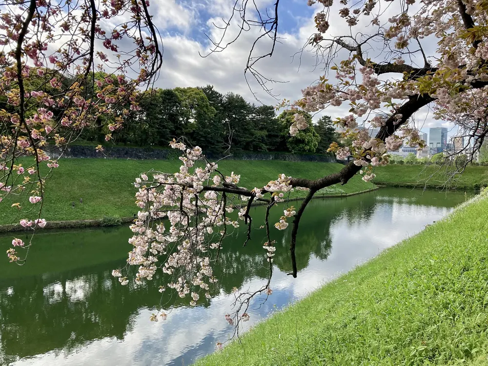
There is no fixed start, so join the loop wherever suits you. Starting at Hanzomon, the high point, the path drops toward Sakuradamon and passes the Nijubashi bridges at the palace's main entrance and then follows the moats north. From Takebashi the second half climbs back to Hanzomon, past Chidorigafuchi, the moat famous for its cherry trees. Two or three laps make a good long run.
When to go
Mornings and daytime are best, and some stretches are still dark at night. Cherry blossom season brings big crowds to Chidorigafuchi, and the path is also busy at lunchtime and after office hours. In July and August, run early in the day.
Getting there
Tokyo Station is about a ten minute walk from the palace. Hanzomon, Sakuradamon, Takebashi and Otemachi subway stations all sit close to the loop.
Permits and booking
No permit or fee is needed to run. The Ministry of the Environment, which manages the Outer Garden, asks everyone circling the inner moat to go anticlockwise. Groups of 20 or more need its approval, and no group use is allowed from 15 March to 15 April. Pedestrians have priority on the shared footpath, so keep left, go single file where it narrows and pass on the right only when it is safe. Running on the gravel plaza is not allowed. The Tokyo Marathon, Japan's largest with a record 40,000 runners, holds its 20th race on 7 March 2027 and finishes at the Wadakura-Gate intersection (general entry closed in August 2026).
How hard it is
This is an easy city run on paved footpath. The only real climb is about 30 m from Takebashi up to Hanzomon. The hazard is people: walkers, tourists and cyclists share the path, and it gets crowded at peak hours.
Where to sleep
Hotels around Tokyo Station and Marunouchi put you a short walk from the loop. Runner stations near the course rent lockers and showers: JOGLIS is three minutes from Hanzomon Station, ASICS Run Tokyo Marunouchi three minutes from the Marunouchi South exit of Tokyo Station, and there is a Runners Station near Kojimachi Station.
Tips
Start at Hanzomon to get the downhill first and finish on the climb.
Walk the crowded stretch by Nijubashi rather than weaving through visitors.
Check opening hours at the runner stations before you go, as they change.
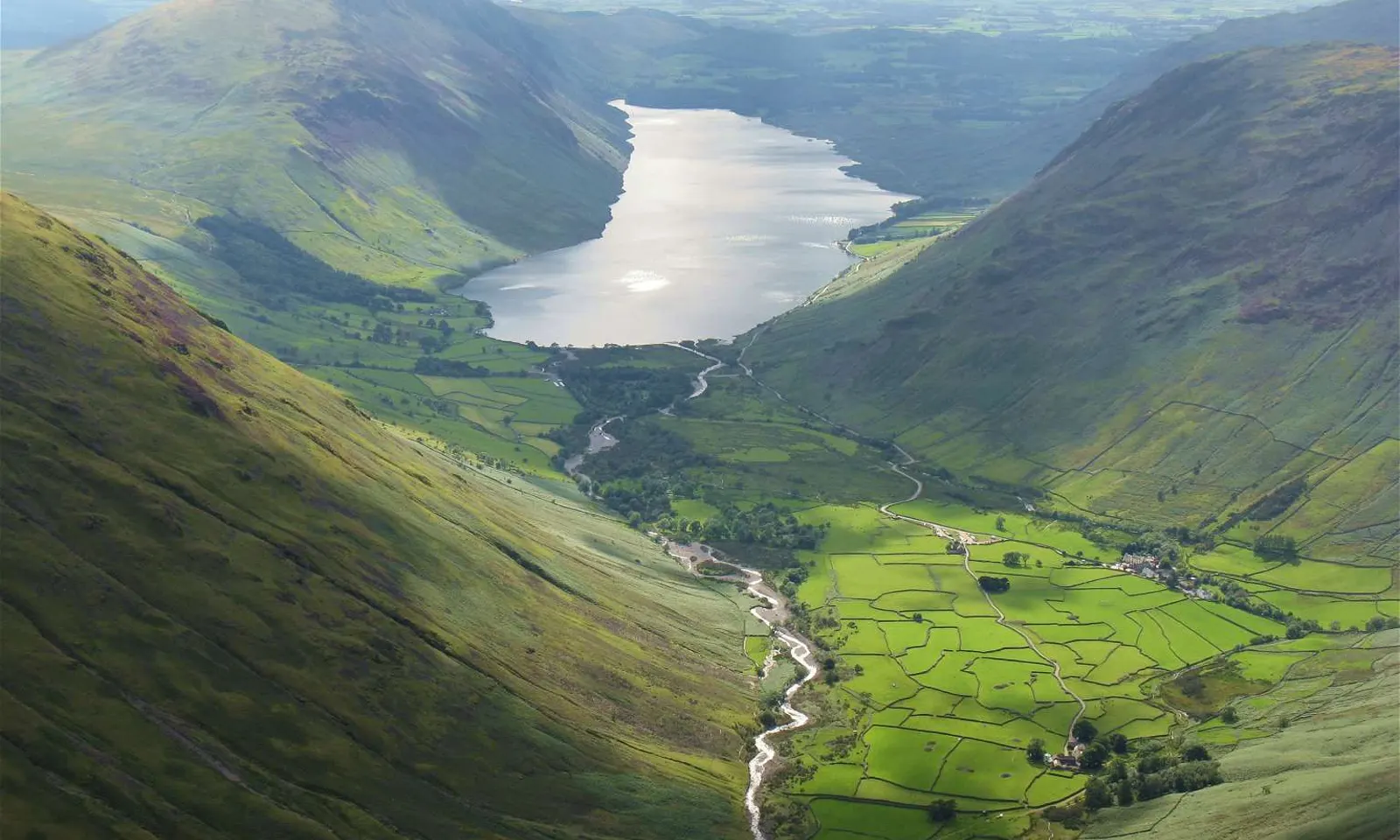
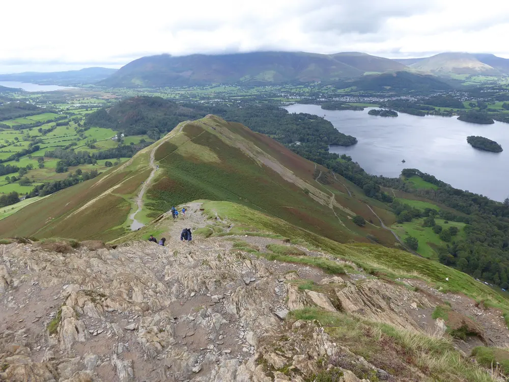
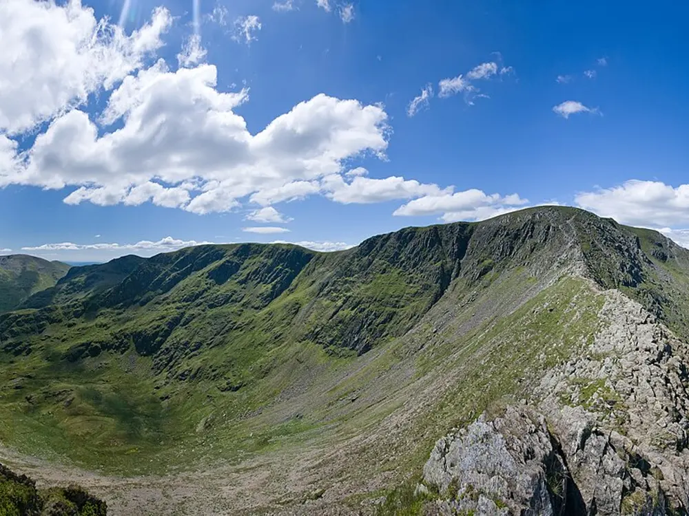
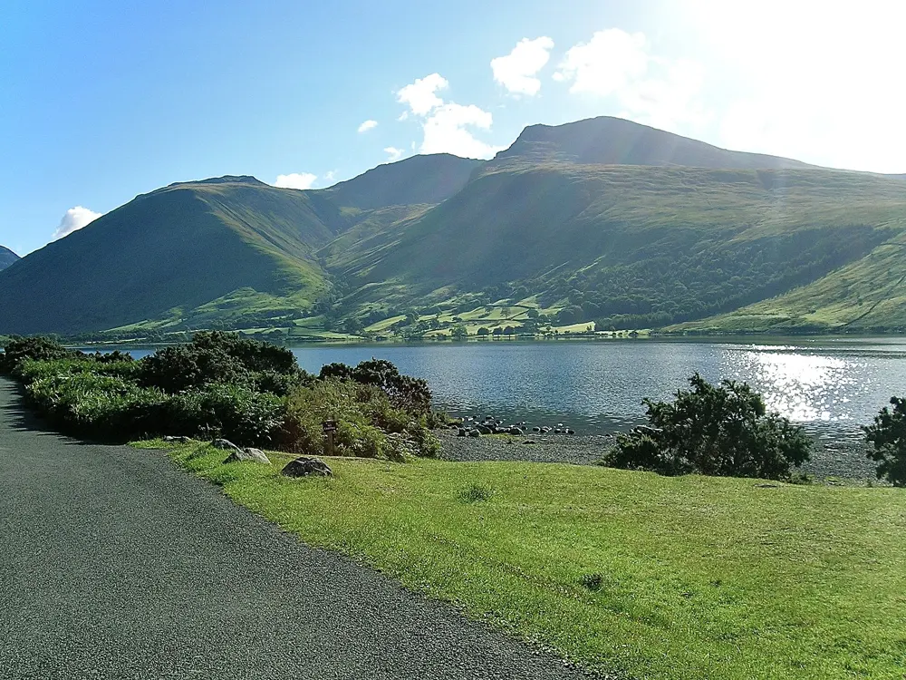
This is the home of English fell running, and Keswick is its centre. The Bob Graham Round starts and finishes at the Moot Hall: 42 summits on foot inside 24 hours. Bob Graham first ran it in June 1932 in 23 hours 39 minutes, and more than 3,000 people have now completed it. Steep fells rise straight out of the valleys, with easier lakeshore miles between them.
The route
The Round covers about 106 km with 8,200 m of climbing in five legs, split by road crossings at Threlkeld, Dunmail Raise, Wasdale and Honister Pass. For a first run, the Catbells loop from Hawse End is about 5.7 km, zigzagging up Skelgill Bank to the 451 m top and returning along the shore of Derwentwater. The waymarked Derwentwater Walk circles the lake in 10 miles on gravel tracks, woodland paths and boardwalks. The Borrowdale Fell Race, a classic, runs 27 km with 2,000 m of climb from Rosthwaite over Scafell Pike, Great Gable and Dale Head.
When to go
Summer and early autumn are the main season; Borrowdale ran on 1 August 2026. From December to April the National Park's Fell Top Assessors climb Helvellyn daily for the Weatherline conditions report. Even in April, wind chill on the high fells can fall below freezing.
Getting there
Take the train to Penrith, then the X4 or X5 bus to Keswick for a £3 single. The 78 open top bus runs into Borrowdale, and the Keswick Launch crosses to Hawse End for Catbells.
Permits and booking
No permit or fee is needed to run the fells. FRA races ban GPS navigation, and longer ones require taped waterproofs with a hood, hat, gloves, map, compass, whistle and food. Borrowdale takes 350 runners aged 18 or over, and first timers need two long or medium category A races, or two long B races, since 1 January 2024. The Bob Graham 24 Hour Club needs every summit witnessed and has not accepted paid guiding since 2020. As of 14 October 2026 the park lists a footpath at Newlands Beck closed until 30 June 2027 and forestry closures at Whinlatter until 11 May 2027.
How hard it is
Expect rock, scree, wet grass and bog, with few signs on the tops. Cloud comes down fast, and the park asks visitors to be able to navigate in poor visibility. Catbells has short scrambly steps.
Where to sleep
Keswick has the most beds and sits at the start of the Round and the lake path. Rosthwaite puts you at the foot of the high fells.
Tips
Take the launch to Hawse End, as parking there fills quickly in summer.
The stony shore near Calfclose Bay is only passable when Derwentwater is low.
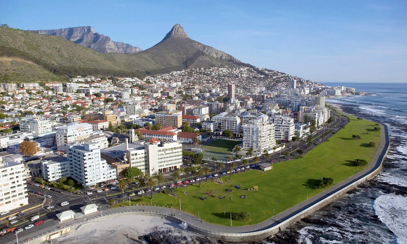
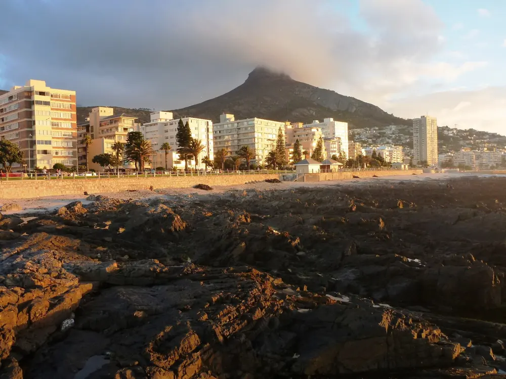
Table Mountain National Park runs down the spine of the Cape Peninsula, and from Kloof Nek, the saddle above the city, paths run along the Twelve Apostles and up Lion's Head. At sea level the Sea Point Promenade is the city's everyday running track, and each April the Two Oceans Marathon fills the peninsula's roads.
The route
The promenade runs about 7 km from Mouille Point to Bantry Bay, flat and car free. The Pipe Track leaves Tafelberg Road opposite the Kloof Nek parking and follows an 1887 water pipeline on level gravel above Camps Bay to Slangolie Ravine. Lion's Head is about 5.3 km return from the Signal Hill Road parking, about 390 m of climb, with chains and ladders on the shorter line near the top. Platteklip Gorge starts on Tafelberg Road about 1.5 km past the lower cableway station and climbs 650 to 680 m of rock steps in about 2.5 km.
When to go
Winter, June to August, brings rain on 9 or 10 days a month. Summer, November to February, is dry, but the south-easter blows hard and the bare slopes heat up early. Autumn and spring suit the mountain best. In 2027 the Two Oceans half marathon is on 3 April and the ultra on 4 April.
Getting there
Kloof Nek is a short ride from the city centre; the Lion's Head parking is just off it on Signal Hill Road.
Permits and booking
No permit or fee is needed for Lion's Head, the Pipe Track, Platteklip or the promenade. Conservation fees apply only at pay points such as Cape of Good Hope, Boulders and Silvermine (R110, R55 and R44 for South African adults until 31 October 2026, when new tariffs apply). The Two Oceans ultra needs a sub five hour marathon run between 1 May 2026 and 7 March 2027, and most places go by ballot.
How hard it is
The Pipe Track and promenade are easy. Lion's Head and Platteklip are steep and exposed, and Platteklip's polished rocks are slippery going down. Armed robberies were reported on Lion's Head and Signal Hill in 2025. In 2026 SANParks closed the Lion's Head Jeep Track from 20 April to 20 June for maintenance and shut the summit after the 11 May storm; the summit path has reopened, but the new chains and staples stayed closed pending safety checks.
Where to sleep
Sea Point and Green Point put you on the promenade and a short drive from Kloof Nek.
Tips
Save the park emergency number, 086 110 6417, and run in daylight in a group: SANParks advises four or more.
Check SANParks notices before a Lion's Head run, and take the spiral path if the chains are closed.
Carry at least a litre of water on Lion's Head and Platteklip.
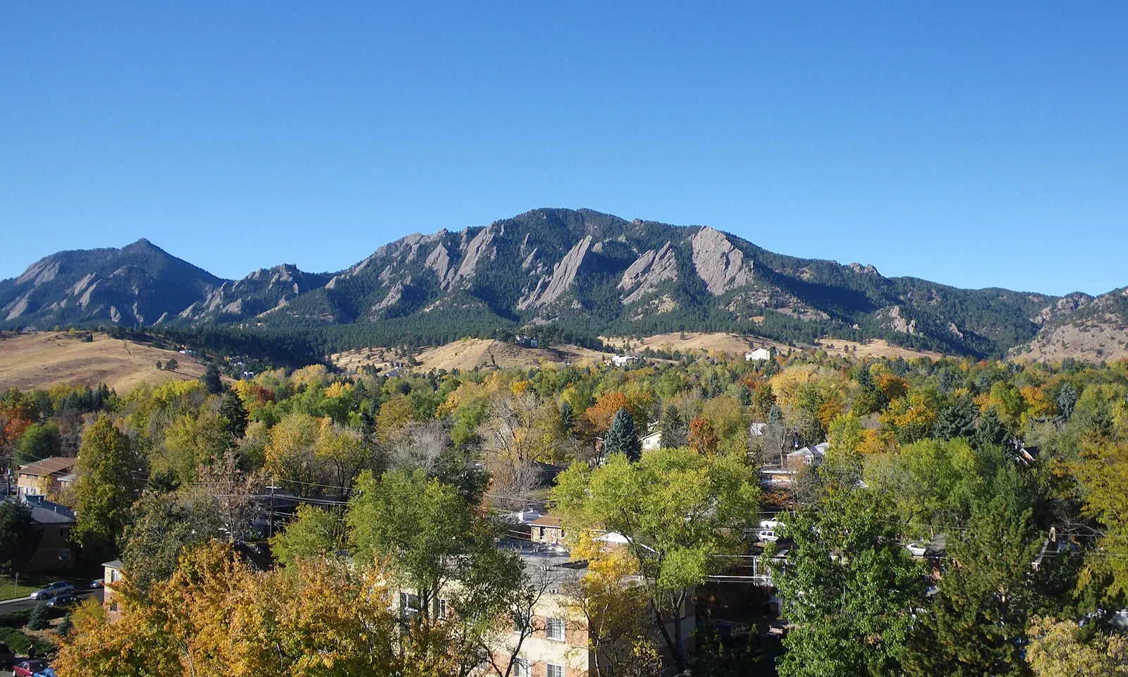
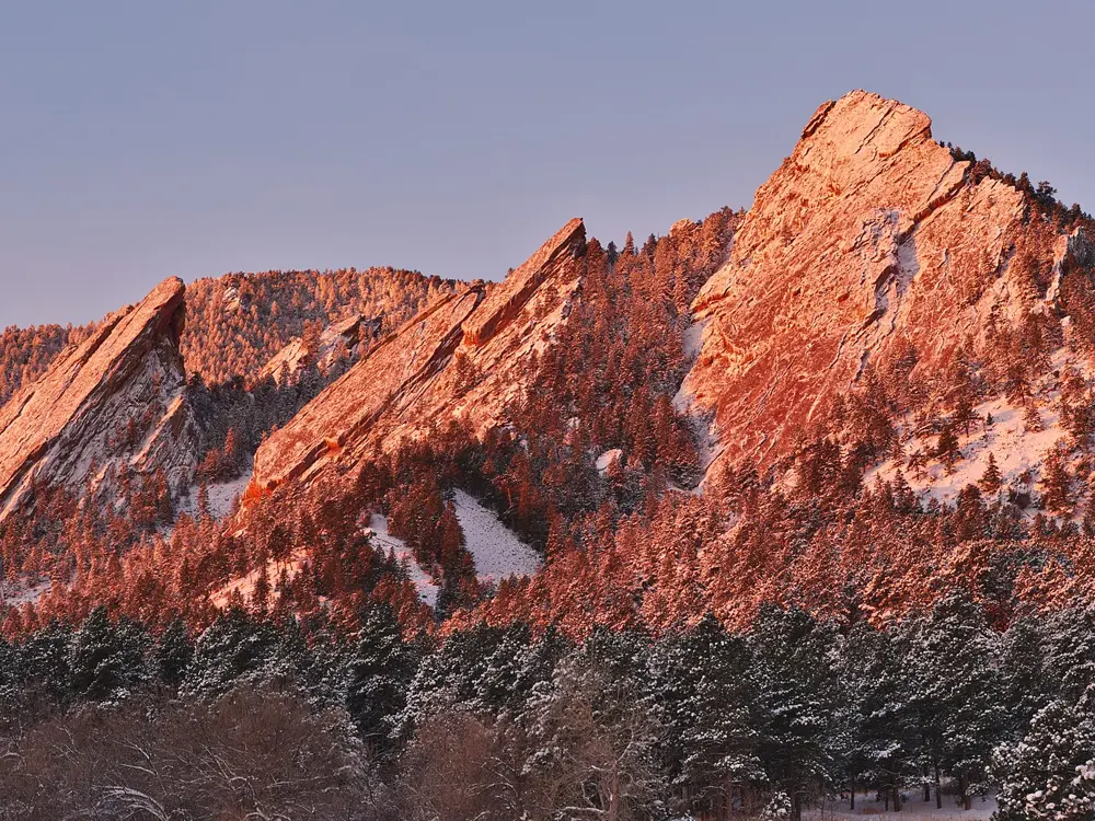
Boulder sits at 1,655 m where the plains meet the foothills, and distance runners have long come here to train at altitude. Rocky singletrack starts at the edge of town under the Flatirons, and in the hills to the west lies the dirt of Magnolia Road, where Olympians and national record holders run on weekend mornings.
The route
The Boulder Creek Path is the easy daily run, paved and about 13 km one way from the mouth of Boulder Canyon through downtown and the university. The Mesa Trail rolls about 11 km from Chautauqua Park to the South Mesa Trailhead along the foot of the Flatirons. Green Mountain is the classic hill: a 7.7 km loop from Gregory Canyon by the Ranger and E.M. Greenman trails, down by Amphitheater and Saddle Rock, with 738 m of gain to a summit at 2,482 m. On Magnolia Road the usual out-and-back from Beach Road is about 24 km, all above 2,400 m.
When to go
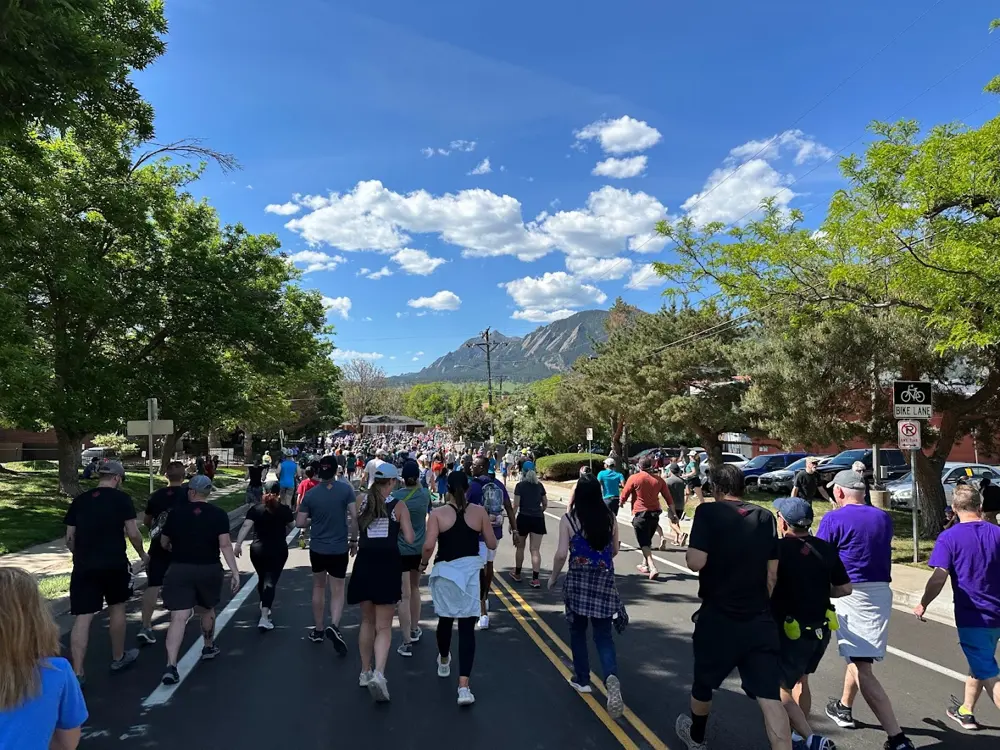
Spring and autumn suit most runners. July averages a high of about 30°C, and snow is possible from mid October to early May. The Bolder Boulder 10K runs every Memorial Day: in 2026 it was on 25 May, with about 50,000 runners and walkers finishing in Folsom Field.
Getting there
RTD buses AB1 and AB3 run from Denver International Airport to downtown Boulder in about 1 hour 15 minutes for $10. Chautauqua Park is a short drive or walk south of downtown.
Permits and booking
No permit is needed to run. Chautauqua parking is free most of the year, but on summer weekends and holidays it costs $2.50 an hour; in 2026 that ran from 23 May to 7 September, with a free Park-to-Park shuttle. At Gregory Canyon, South Mesa and other city open space fee areas, cars not registered in Boulder County need a $5 daily permit. In October 2026 no closures were posted for the Mesa Trail, Green Mountain or Chautauqua, but the area southwest of Shadow Canyon is closed and Stage 1 fire restrictions apply in western Boulder County.
How hard it is
Altitude is the main test, so keep the first days easy. The Mesa Trail is rocky in places, with railroad tie steps. Green Mountain is steep throughout, and part of the Saddle Rock Trail has a steel ladder. The paved start of Magnolia from Boulder Canyon reaches 17 percent.
Where to sleep
The Colorado Chautauqua rents historic cottages at the foot of the Flatirons, with trails from the door. Downtown hotels put you on the creek path.
Tips
Buy the parking permit on ParkMobile before driving up, since cell service at trailheads can be poor.
Check the city's closures page for muddy trail closures, and start summer hill runs early.
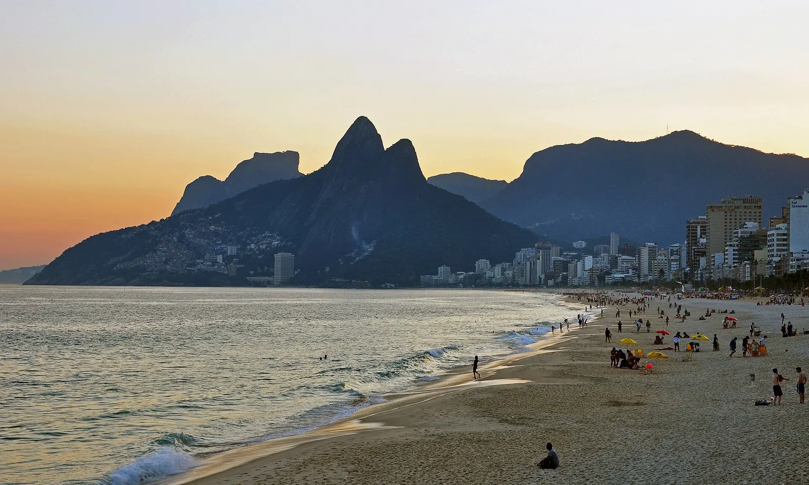
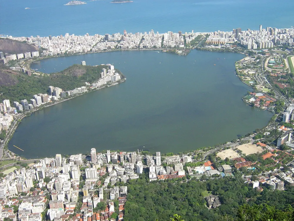
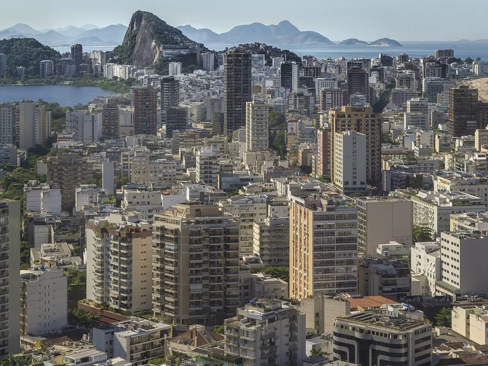
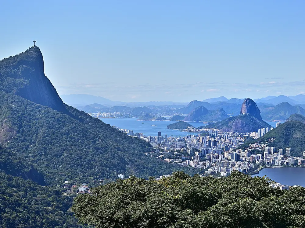
Few cities give runners this much flat ground beside the sea. The calçadão, the wide patterned promenade along Copacabana, Ipanema and Leblon, is busy from first light, with granite peaks rising behind the apartment blocks. On Sundays the city closes the beachfront roads to cars and hands them to people on foot.
The route
The classic run starts at Leme, the east end of Copacabana, and heads west past lifeguard posts numbered 1 to 12. It is 4 km to the Copacabana Fort. Cut through Garota de Ipanema park at Arpoador, then run 3.7 km along Ipanema and Leblon to the Mirante do Leblon lookout, up to 8.5 km one way with about 58 m of climbing. From the beach it is 0.7 km to the Lagoa Rodrigo de Freitas, a 7.4 km loop. The Aterro do Flamengo runs from Santos Dumont airport to Botafogo through gardens by Roberto Burle Marx. For trail, the path up Pedra Bonita in Tijuca National Park climbs about 1.3 km through forest to a summit near 696 m.
When to go
Summer, December to March, is hot and humid, with highs that can reach 40°C and evening storms. Winter, June to September, averages about 23°C. May to June and September to October are the mildest choices.
Getting there
Metro Line 1 serves the seafront: Cardeal Arcoverde for Leme, Siqueira Campos and Cantagalo for Copacabana, General Osório for Ipanema. Line 4 continues to Jardim de Alah near the Lagoa and Antero de Quental in Leblon. Flamengo station serves the Aterro. Reach Pedra Bonita by car or ride app, and arrange the return, since signal at the gate is weak.
Permits and booking
No permit or fee is needed. Riotur says the Aterro roads close to traffic on Sundays from 7 am to 6 pm, as do the beachfront roads, and the leisure areas also open on holidays. Since August 2026 bicycles use a separate lane by the central median and are banned from the leisure area itself. Big events suspend the closures. The Maratona do Rio, a World Athletics Elite Label race, drew about 70,000 entries for 3 to 7 June 2026, with the marathon running from Barra da Tijuca to Marina da Glória.
How hard it is
The roads are flat and paved. Heat and humidity are the real test, and shade is scarce. The UK Foreign Office warns that thefts are common on city beaches and advises staying off them after dark. Pedra Bonita turns slippery in and after rain.
Where to sleep
Stay in Copacabana or Ipanema, close to the promenade and the metro.
Tips
Run at dawn and carry only a phone and some cash, out of sight.
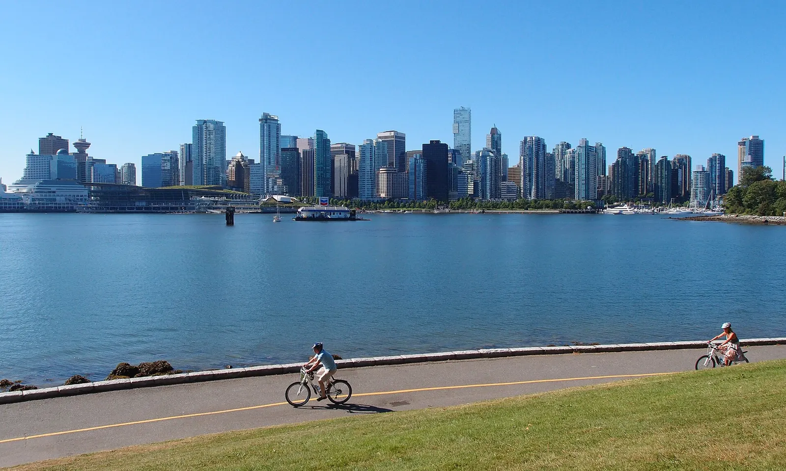
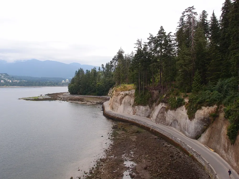
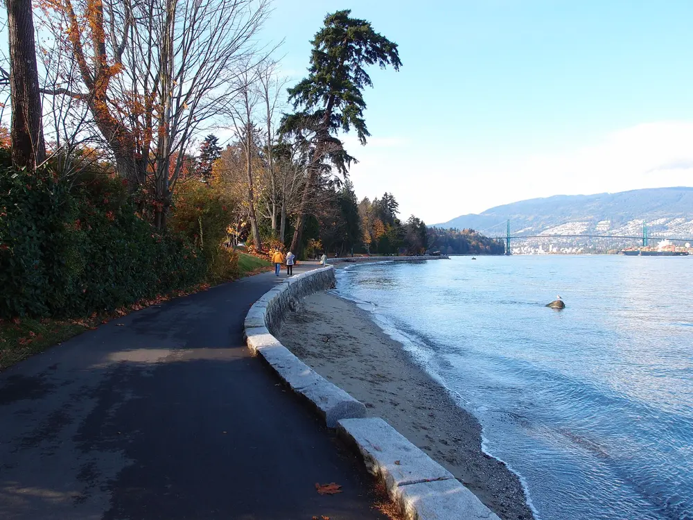
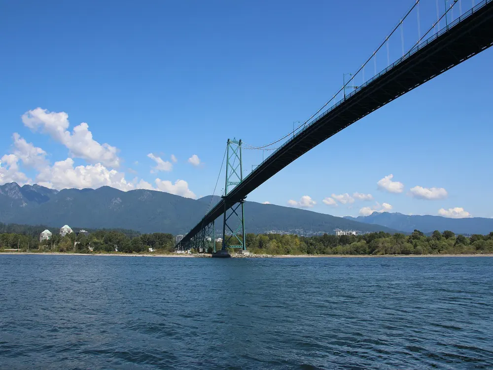
The Stanley Park seawall is the run Vancouver does before work and on Sunday mornings. The path is flat and hugs the water all the way round the park, with the North Shore Mountains across the harbour and the Lions Gate Bridge overhead. When it is crowded you can turn inland onto soft trails under tall trees.
The route
The classic run is the seawall loop, about 9 km from Coal Harbour past Brockton Point, under the bridge and past the sea stack of Siwash Rock to Third Beach, then back along English Bay to Lost Lagoon. The seawall carries on as one 28 km waterfront path from Coal Harbour around False Creek to Spanish Banks. Inside the park, more than 27 km of bark-mulched forest trails link Beaver Lake, Prospect Point and the Bridle Path.
When to go
You can run here all year. July and August are driest, with average highs of 22.4 °C. November to January is wet, around 174 mm a month. In 2026 the seawall between Lumberman's Arch and Third Beach is closed from 19 October to 7 November for gate removal and rock scaling, with a signed detour through Beaver Lake and intermittent closures possible until 20 November.
Getting there
The park sits at the northwest edge of downtown, so most runners jog in from the West End. Bus 19 runs along Pender and Georgia Streets to the Stanley Park bus loop.
Permits and booking
No permit or fee is needed. Cyclists and skaters have their own inland lane and must travel counterclockwise, a rule since 1984. Runners use the pedestrian path on the water side and may go either way. The BMO Vancouver Marathon, on the first Sunday in May (2 May in 2027), joins the seawall at the Inukshuk on Beach Avenue and follows it all the way round the park, with a six hour cut-off.
How hard it is
The seawall is paved and flat. The hard part is people: sunny weekends fill it with walkers and bikes, so go early for a steady pace. The forest trails add climbing up to Prospect Point, and an 8 km inland loop gains about 75 m. Between Third Beach and Prospect Point the path runs below cliffs that shed rock in heavy rain, so that stretch closes for slope work.
Where to sleep
Hotels in the West End and Coal Harbour put you a short jog from the seawall.
Tips
Check the City of Vancouver seawall page in autumn and winter for closures.
On busy days, turn inland onto the Bridle Path or the Lake Trail for softer kilometres.
Carry a map on the forest trails, which are easy to get lost in.
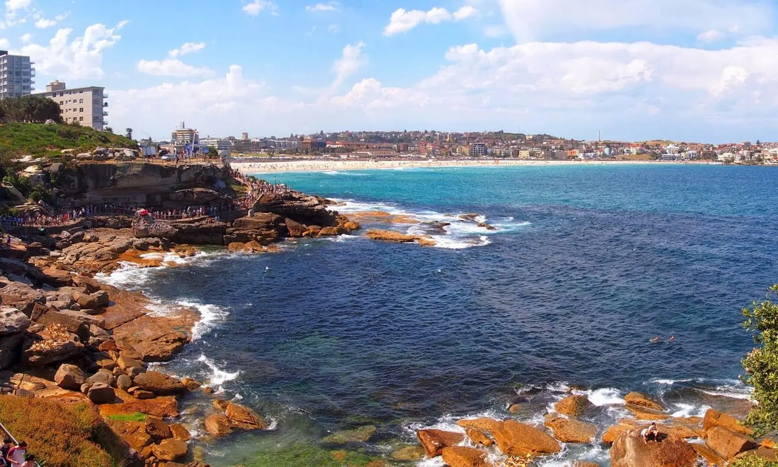
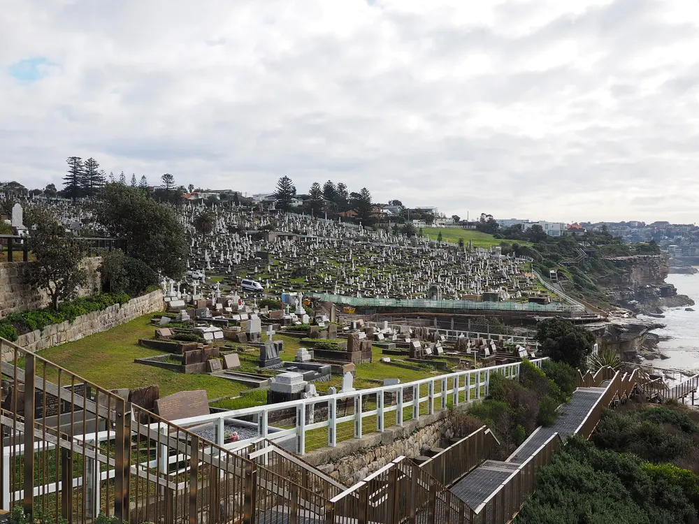
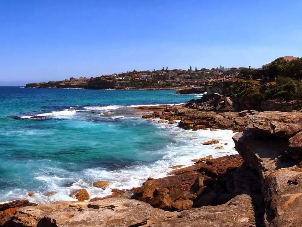
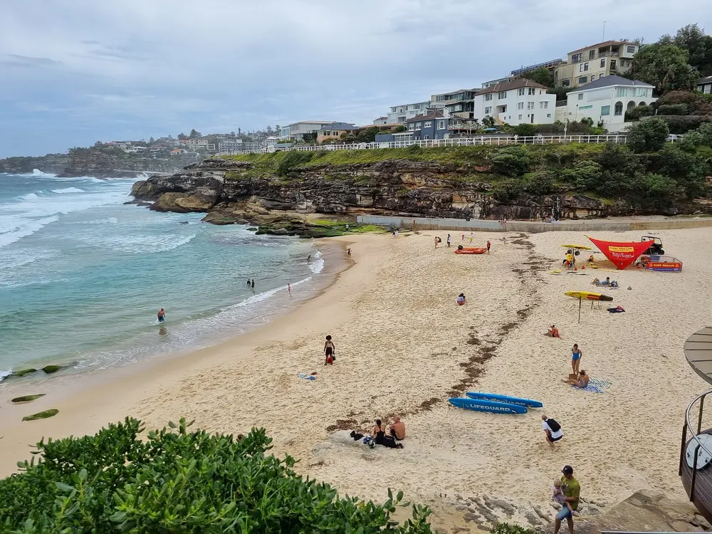
Sydney's eastern suburbs end in sandstone cliffs, and this path follows them from the south end of Bondi Beach to the north end of Coogee. You run past Tamarama, Bronte and Clovelly, round Gordons Bay and along the boardwalk below Waverley Cemetery, with the Pacific on your left the whole way if you head south. Ocean pools at Bronte and Coogee make a swim part of the run, and in winter humpback whales pass the headlands on their migration.
The route
The classic is the 6 km out and back between Bondi and Coogee, about 12 km in all, well signposted and paved or boardwalked most of the way. Bondi to Bronte is the shorter loop most locals run. Keen runners carry on north on the Bondi to Manly walk, an 80 km route that its organisers split into 2 to 7 days, or south along Randwick's coastal walkway, which still leaves the coast for the roads between Coogee and Maroubra.
When to go
Any month works. Summer weekends bring the biggest crowds, so run at first light. Sculpture by the Sea fills the Bondi to Tamarama section from 16 October to 2 November 2026 and draws over 500,000 visitors, so avoid that stretch during it. The City2Surf runs 14 km from Hyde Park to Bondi Beach each August; it was held on 9 August 2026, general entry sold out, and the 2027 race is on 8 August.
Getting there
Take the train to Bondi Junction, then bus 333 or 380 to Bondi Beach. Weekend bus 362 links Coogee with Bondi via Bronte and Tamarama, handy if you run one way. Parking at both ends is limited.
Permits and booking
No permit or fee is needed, and the walk has no opening hours. Dogs on leads are allowed. City2Surf entry is through the race website, and once general entry sells out the remaining places are charity places with a fundraising pledge.
How hard it is
Easy distance but not flat: the path climbs and drops at every headland, with long flights of stairs, the steepest around Gordons Bay. Most of it is unsuitable for prams. On busy days you share it with crowds of walkers. The section at Marks Park, Tamarama, closed after a cliff collapse in April 2024, reopened after repairs finished on 12 December 2025. In the City2Surf, Heartbreak Hill is a 2 km climb into Vaucluse after Rose Bay.
Where to sleep
Stay in Bondi or Coogee to start running from the door. Both have hotels and short stays, and Bondi Junction has the train.
Tips
Take water from the fountains at every beach rather than carrying much.
Run southbound early and catch the 362 back on weekends.
Walk the stair flights when the path is busy and run the flat stretches between beaches.
Sources
Distances, heights, seasons and permit rules were checked against these pages. Rules change, so check the park or trail authority before you go.