The United States has the world's oldest annual marathon, the oldest trail race in America and a mountain town where dozens of professional runners live to train at altitude. These ten run from the paths of New York, Boston, Washington and Chicago to the forests of Portland, the hills above the Golden Gate and the high ridges around Lake Tahoe.
For each place you get the classic runs, the best season, how to get there, any permits, entry rules or closures, how hard it is and where runners stay. Every fact comes from park and city authorities, race organisers or the other pages linked at the bottom.
TCS New York City Marathon finish, 1 November 2026
Why go
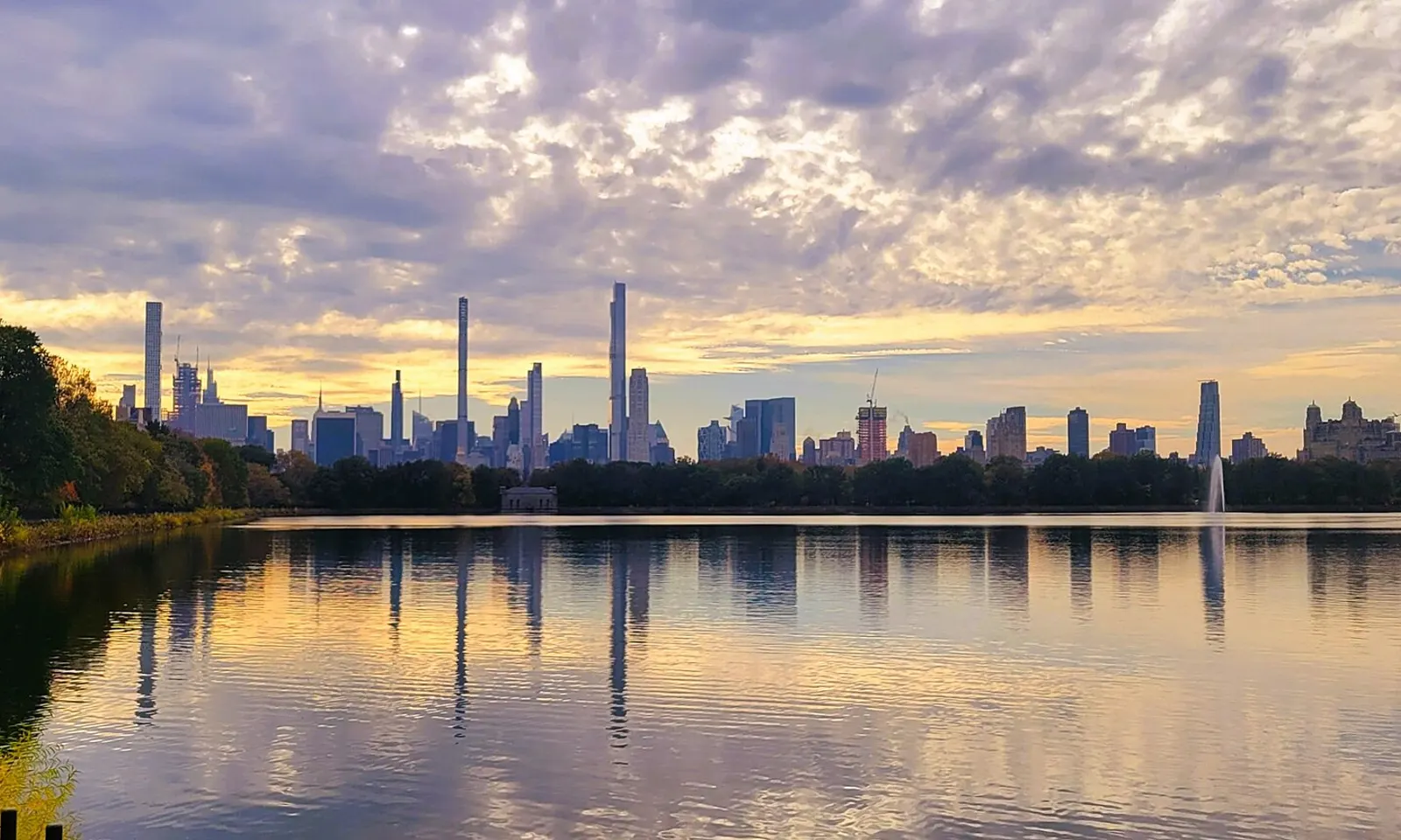
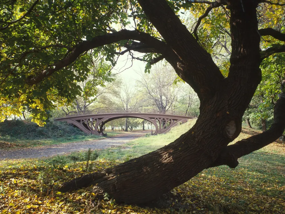
Central Park is where New York runs. Its drives have been closed to cars since June 2018, so the loop belongs to runners, cyclists and walkers. The city's marathon began here: the first one, on 13 September 1970, was four laps of the main drive with 127 entrants. It moved onto the streets of all five boroughs in 1976 and still finishes here on West Drive.
The route
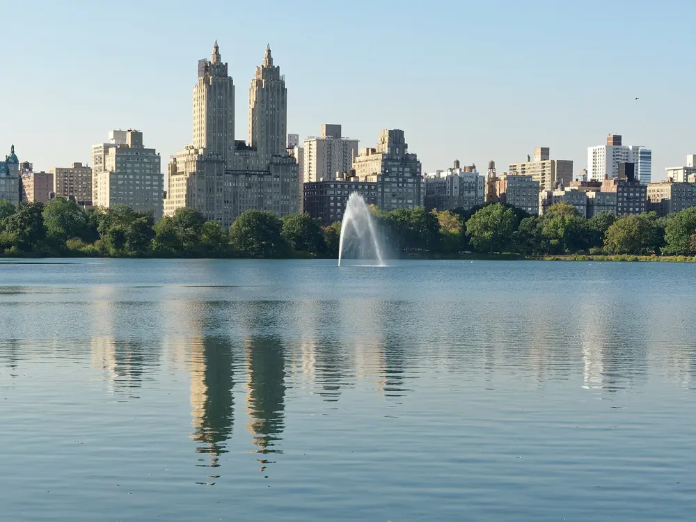
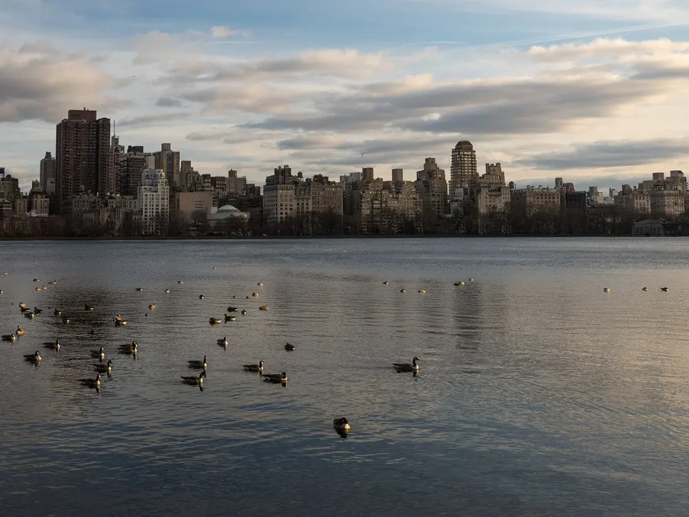
The full loop of the drives is 6.1 miles, with a lane on the far left for runners and walkers. Cutting across the 102nd Street transverse gives a 4 mile inner loop that skips the northern hills; New York Road Runners uses it for races such as the Midnight Run. The Stephanie and Fred Shuman Running Track circles the Reservoir between 86th and 96th Streets for 1.58 miles on crushed gravel. Beside it, the Bridle Path makes a 1.66 mile dirt loop and runs on south to the park's southwest corner and north to 104th Street.
When to go
Spring and autumn are the best seasons. The park is open daily from 6 am to 1 am. In winter only seven water fountains stay on. On marathon day, Sunday 1 November 2026, large parts of the park close to all visitors.
Getting there
The park runs from 59th to 110th Street between Fifth Avenue and Central Park West. Columbus Circle, on the A, B, C, D and 1 trains, is about 500 feet from the loop, and the B and C run along Central Park West. For the Reservoir, use Engineers' Gate at East 90th Street.
Permits and booking
No permit or fee is needed to run. Groups of more than 20 runners need a permit from NYC Parks. Bicycles are not allowed on the Bridle Path, and dogs there must be leashed. Marathon places come through NYRR's drawing, its guaranteed entry programmes and charities; the 2026 drawing closed in February.
How hard it is
The drives are paved; the Reservoir track and Bridle Path are soft underfoot. The south of the park is close to flat. The north is hilly, with Harlem Hill at the top of the loop and Cat Hill on the east side near 75th Street. Watch for fast cyclists, horses on the Bridle Path and crowds at the south end.
Where to sleep
Hotels on the Upper West Side or Upper East Side put you a few blocks from the Reservoir; those near Columbus Circle are closest to the south end of the loop.
Tips
Run the Reservoir track counterclockwise and keep right; the Conservancy expects partial closures there for maintenance through late fall 2026.
On the drives, clockwise runners take the inside lane and counterclockwise runners the middle one.
Carry away your gel wrappers, which draw animals to the paths.
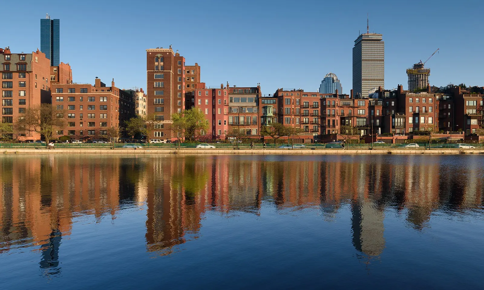
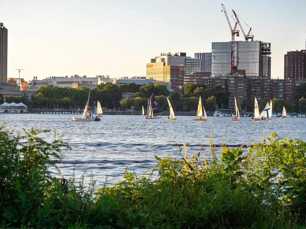
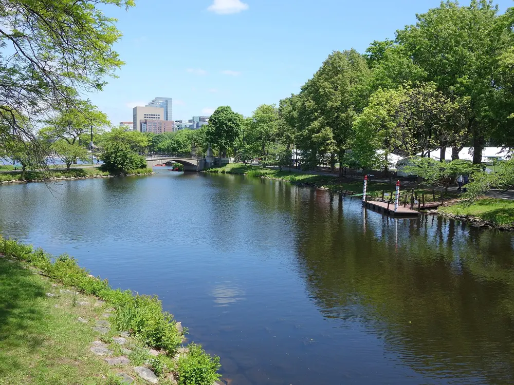
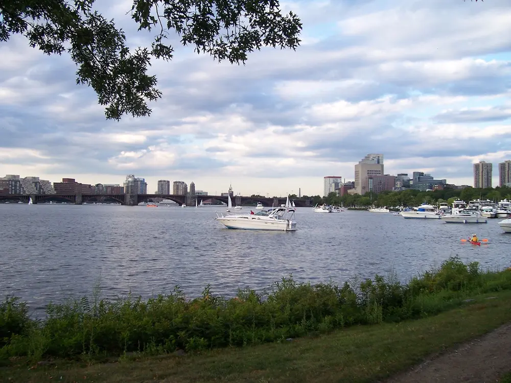
Boston has the world's oldest annual marathon, first run in 1897 with a field of 15, and it is run on Patriots' Day in April. The course runs from Hopkinton through eight towns to Boylston Street near Copley Square. In between races, Boston runners use the Charles River, where paths follow both banks and a string of bridges lets you choose almost any distance.
The route
The Dr. Paul Dudley White path runs from the Museum of Science upstream on both sides of the river to Watertown, a loop of about 17 miles; Bluebikes counts more than 24 miles once the extensions into Newton and Waltham are added. Crossing at the Massachusetts Avenue and Longfellow bridges makes a 3.1 mile loop around the Esplanade. Turning at Western Avenue gives 5.1 miles, the Anderson Memorial Bridge 6.3 miles, close to a 10K, and the Eliot Bridge 7.8 miles. For a taste of the marathon, run Commonwealth Avenue through Newton past Boston College: Heartbreak Hill, the last of four Newton hills, comes between miles 20 and 21 of the race and climbs about 88 feet in 0.4 miles.
When to go
April to June and September to October are the best months. Summer runs at about 25 to 32°C with humidity, and winter at about minus 5 to 5°C, with river paths that can stay icy for weeks after a storm; the Esplanade is usually cleared first. The 131st Boston Marathon is on Monday 19 April 2027.
Getting there
From Logan Airport the SL1 Silver Line bus is free, stops at every terminal and runs to South Station for the Red Line. For the Esplanade, take the Red Line to Charles/MGH and cross the Frances Appleton footbridge over Storrow Drive.
Permits and booking
The river paths are free to run. The marathon needs a qualifying time from a certified marathon: 2:55:00 for men aged 18 to 34 and 3:25:00 for women and non-binary runners of that age, rising with age. Meeting the standard only lets you apply. For 2027, registration ran from 14 to 18 September 2026 and the cut-off was 5 minutes 17 seconds under the standard, so men aged 18 to 34 needed 2:49:43. About 1,000 more qualifiers who missed the cut-off were picked at random, and times from courses with a net drop of 1,500 feet or more now carry a time penalty.
How hard it is
The river loop is flat. On the Cambridge side, sections of dirt track have tree roots, rocks and geese, and some crossings meet busy roads such as River Street and Western Avenue. Heartbreak Hill is modest on fresh legs; in the race it hurts because of where it falls.
Where to sleep
Back Bay hotels near Copley Square put you close to the marathon finish and a short walk from the Esplanade.
Tips
After dark, stay on the Boston side of the Esplanade near the Hatch Shell, the best lit and busiest stretch, and save the Cambridge bank and the Watertown end for daylight.
November Project holds free workouts on the stairs of Harvard Stadium.
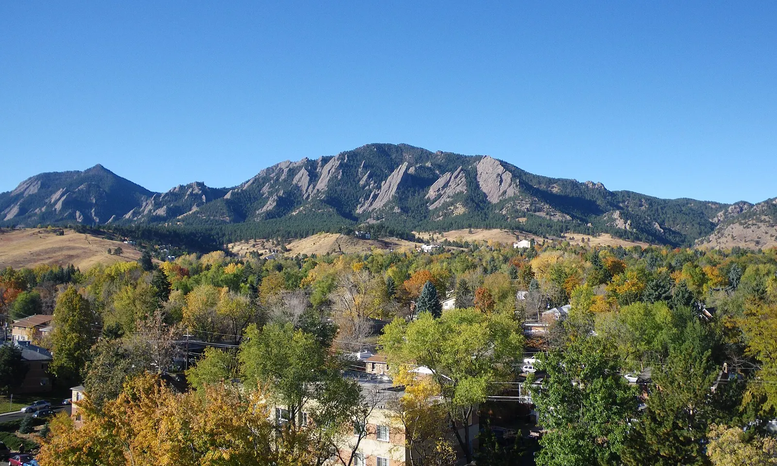
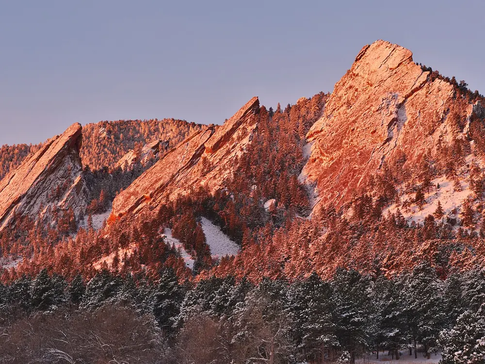
Boulder sits at 1,655 m where the plains meet the foothills, and distance runners have long come here to train at altitude. Rocky singletrack starts at the edge of town under the Flatirons, and in the hills to the west lies the dirt of Magnolia Road, where Olympians and national record holders run on weekend mornings.
The route
The Boulder Creek Path is the easy daily run, paved and about 13 km one way from the mouth of Boulder Canyon through downtown and the university. The Mesa Trail rolls about 11 km from Chautauqua Park to the South Mesa Trailhead along the foot of the Flatirons. Green Mountain is the classic hill: a 7.7 km loop from Gregory Canyon by the Ranger and E.M. Greenman trails, down by Amphitheater and Saddle Rock, with 738 m of gain to a summit at 2,482 m. On Magnolia Road the usual out-and-back from Beach Road is about 24 km, all above 2,400 m.
When to go
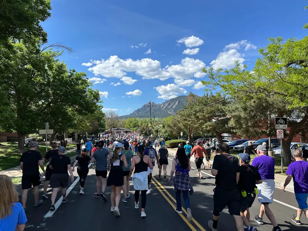
Spring and autumn suit most runners. July averages a high of about 30°C, and snow is possible from mid October to early May. The Bolder Boulder 10K runs every Memorial Day: in 2026 it was on 25 May, with about 50,000 runners and walkers finishing in Folsom Field.
Getting there
RTD buses AB1 and AB3 run from Denver International Airport to downtown Boulder in about 1 hour 15 minutes for $10. Chautauqua Park is a short drive or walk south of downtown.
Permits and booking
No permit is needed to run. Chautauqua parking is free most of the year, but on summer weekends and holidays it costs $2.50 an hour; in 2026 that ran from 23 May to 7 September, with a free Park-to-Park shuttle. At Gregory Canyon, South Mesa and other city open space fee areas, cars not registered in Boulder County need a $5 daily permit. In October 2026 no closures were posted for the Mesa Trail, Green Mountain or Chautauqua, but the area southwest of Shadow Canyon is closed and Stage 1 fire restrictions apply in western Boulder County.
How hard it is
Altitude is the main test, so keep the first days easy. The Mesa Trail is rocky in places, with railroad tie steps. Green Mountain is steep throughout, and part of the Saddle Rock Trail has a steel ladder. The paved start of Magnolia from Boulder Canyon reaches 17 percent.
Where to sleep
The Colorado Chautauqua rents historic cottages at the foot of the Flatirons, with trails from the door. Downtown hotels put you on the creek path.
Tips
Buy the parking permit on ParkMobile before driving up, since cell service at trailheads can be poor.
Check the city's closures page for muddy trail closures, and start summer hill runs early.
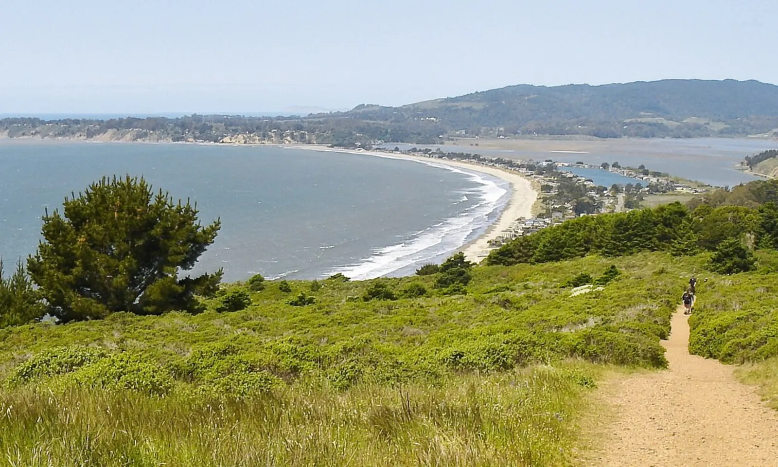
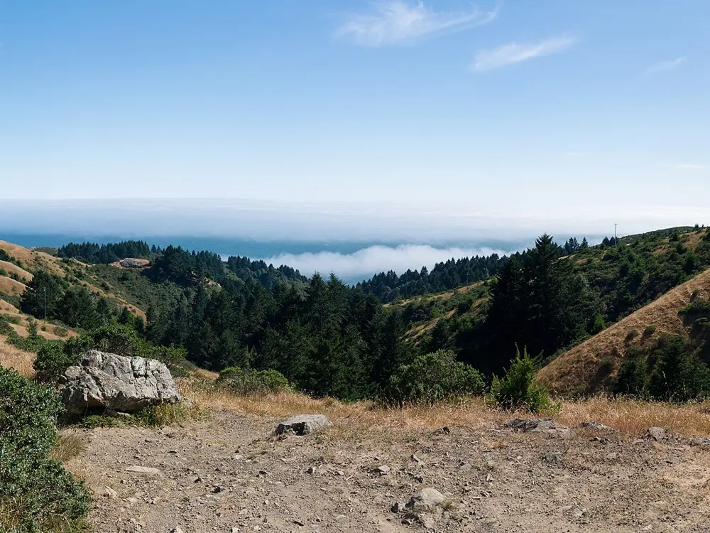
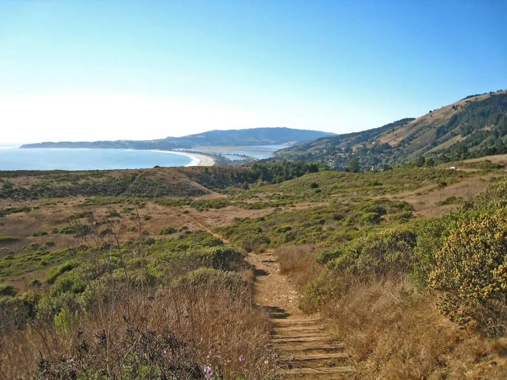
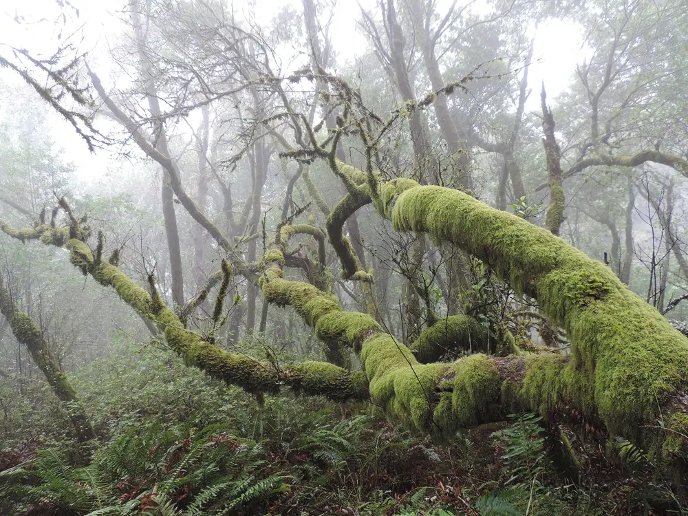
The Dipsea, first run on 19 November 1905, is the oldest trail race in America, and its trail is open to anyone who wants to run it. It climbs from Mill Valley over the shoulder of Mount Tamalpais and drops through redwoods and coastal scrub to the Pacific at Stinson Beach. South of it, the Marin Headlands fill the hills above the Golden Gate with fire roads and singletrack.
The route
The Dipsea starts at Old Mill Park in Mill Valley with the Dipsea Stairs, three flights totalling 680 steps up to Sequoia Valley Road. It crosses Muir Woods, reaches its high point at the top of Cardiac Hill about 4.5 miles in, then descends into Steep Ravine, crossing the bridge there at about mile 6, before the last drop to Stinson Beach. Locals double it: the Double Dipsea covers 13.7 miles, and the Quad Dipsea, on the Saturday after Thanksgiving, 28.4 miles with 9,276 feet of climbing. In the Headlands, a loop from the Tennessee Valley trailhead up the Miwok Trail and back down Coyote Ridge is about 5.4 miles.
When to go
The trail can be run all year. The Dipsea race is held on the second Sunday in June; the 115th ran on 14 June 2026.
Getting there
Mill Valley is just north of the Golden Gate Bridge. Marin Transit route 61 links Sausalito and Marin City with Stinson Beach and Bolinas, which saves running back, but check its weekend timetable before you rely on it. If you drive to Muir Woods, a parking reservation is required.
Permits and booking
No permit is needed to run the trail. Entry to the race is limited to about 1,500 runners, chosen in a way that favours local runners, and thousands apply. Its handicap system gives the youngest and oldest runners head starts of up to 25 minutes, which is why past winners include an 8 year old and a 72 year old. Muir Woods National Monument charges $15 entry for visitors over 16, separate from parking and shuttle reservations.
How hard it is
Hard for its length. The stairs come first, then a climb of about 1,200 feet from Muir Woods up Cardiac Hill, and the descent through Steep Ravine has rocks, roots and steps. Most hikers take three and a half to four hours one way, so runners should allow plenty of time and carry water.
Where to sleep
Stay in Mill Valley to be close to the start, or in Stinson Beach at the finish.
Tips
Run it one way and arrange your ride back from Stinson Beach before you set off.
Save something for the descent through Steep Ravine, where rocks, roots and stairs come on tired legs.
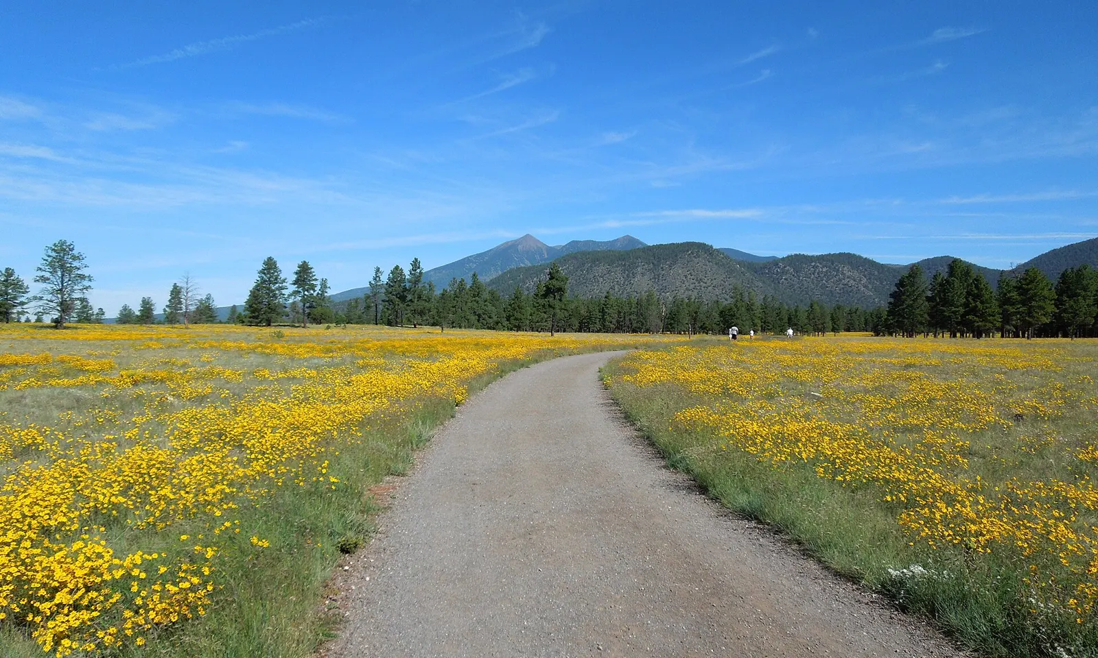
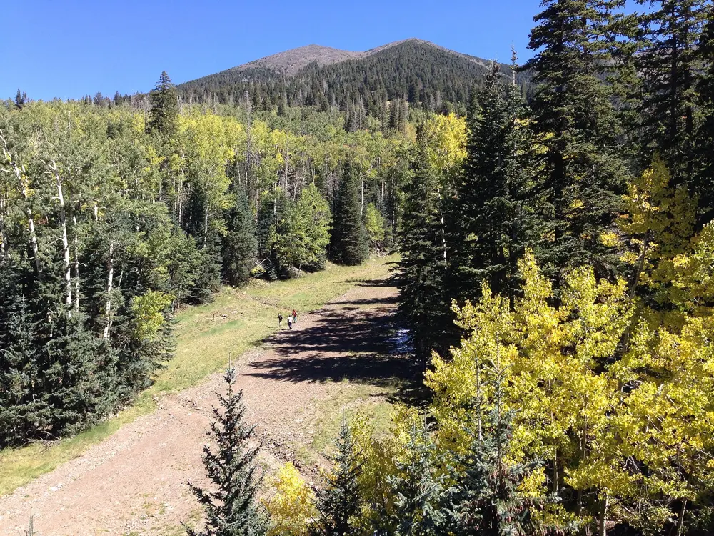
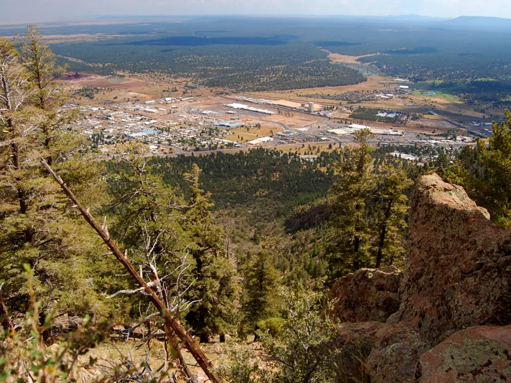
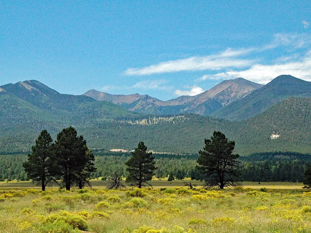
Flagstaff sits at about 7,000 feet in the ponderosa forest below the San Francisco Peaks, a height one physiologist calls the sweet spot for altitude training. Athletes came here before the 1968 Mexico City Olympics, when a meet in town drew more than 100 Olympians. Northern Arizona University opened a Center for High Altitude Training in 1995, and HYPO2 has run the programme since 2009. A local coach estimates that 35 to 40 professional runners live in Flagstaff, with 50 to 100 training here at any time.
The route
Buffalo Park, on McMillan Mesa, has a 2 mile loop of hard-packed cinder with 68 feet of climbing and views of the San Francisco Peaks, Mount Elden and the Dry Lake Hills. From it you can join the Flagstaff Urban Trails System, about 56 miles of paths through the city. For long runs, Lake Mary Road runs well over 50 miles; the finest stretch is 5 miles beside Lake Mary, about 13 miles south of town. Woody Mountain Road, out and back from the Arboretum, is hilly dirt, and the Schultz Creek trails give hilly trail running.
When to go
The warm season runs from early June to mid September, when July highs average about 80°F (27°C). Monsoon thunderstorms come from July to September. Winter is cold and snowy, with around 100 inches of snow a year, and the coldest stretch runs from late November to early March.
Getting there
Flagstaff is about 150 miles north of Phoenix, a drive of 2 to 2.5 hours. Amtrak's daily Southwest Chief stops at the old Santa Fe depot downtown, which also houses the visitor center.
Permits and booking
No permit is needed for Buffalo Park or the urban trails.
How hard it is
Altitude is the challenge. The Buffalo Park loop is nearly flat, but every run is harder at 7,000 feet than at sea level, and one professional said it took about six months before his results matched his fitness. Elite athletes drop to Sedona, at about 4,800 feet and an hour's drive south, for faster sessions.
Where to sleep
Downtown Flagstaff and the streets around the university have most of the hotels, close to the urban trails.
Tips
Run early in July and August, before the afternoon monsoon storms build.
Keep the first week easy and drink more than you think you need while you adapt to the altitude.
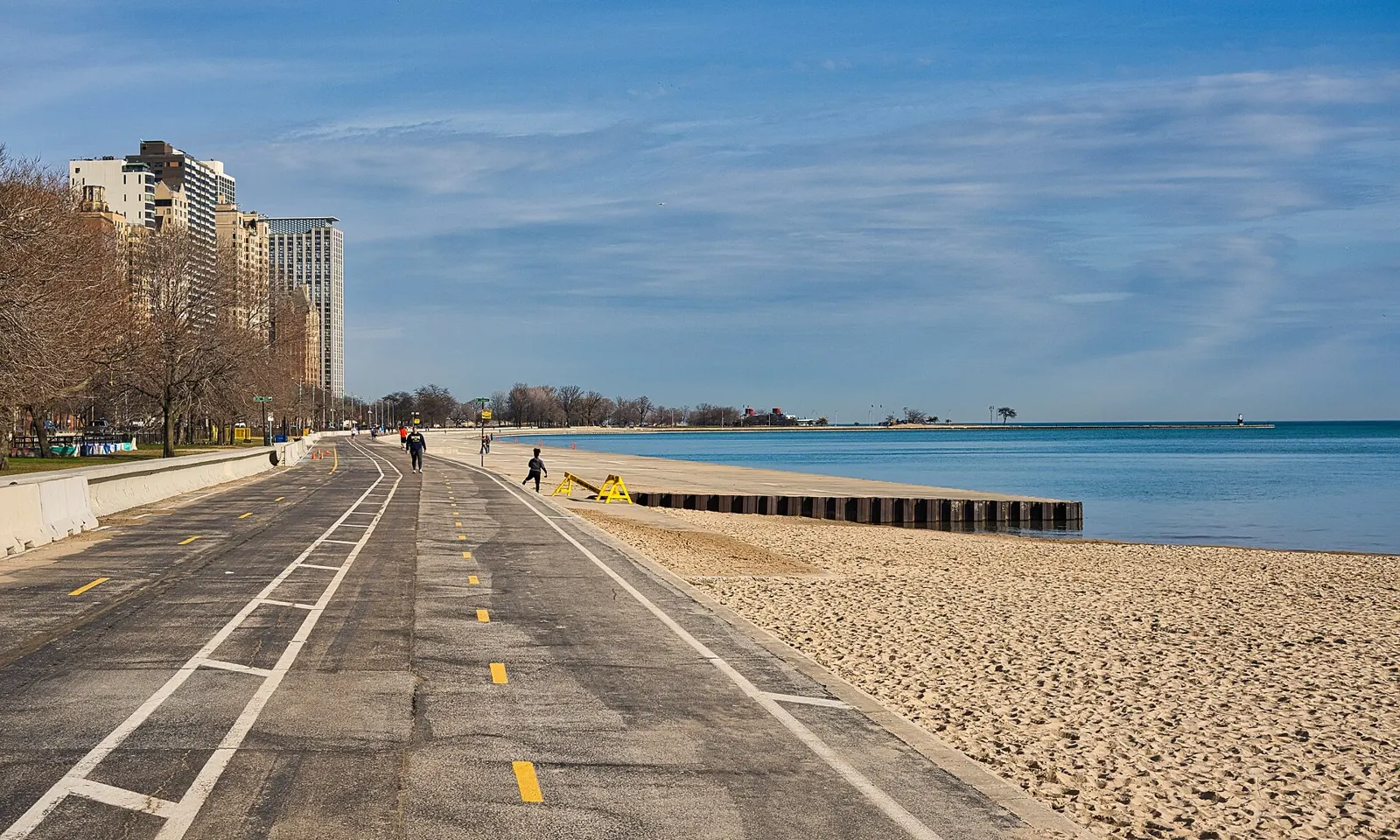
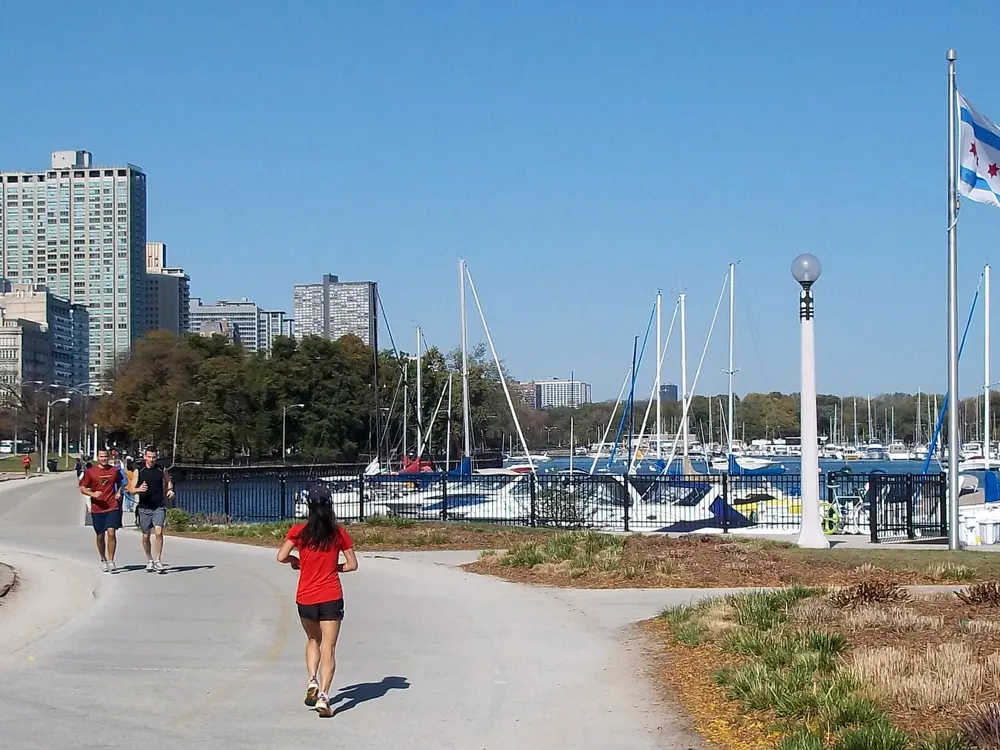
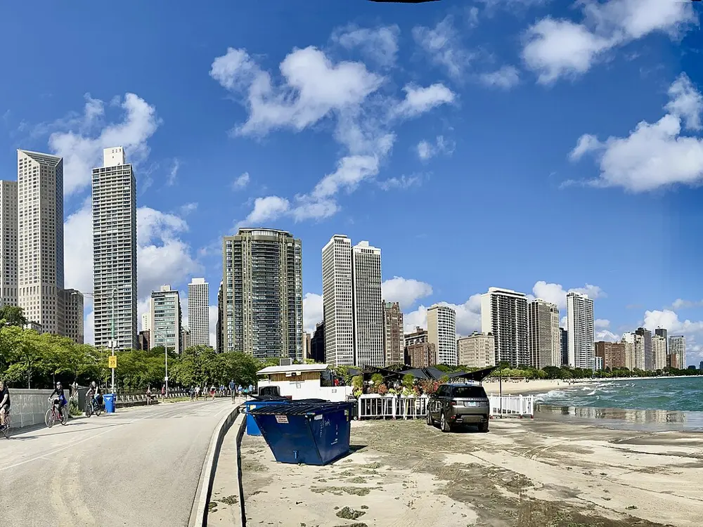
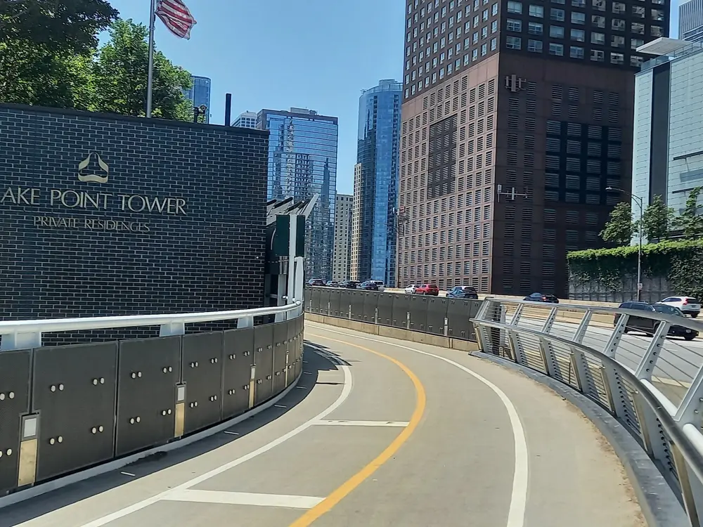
The Lakefront Trail follows the shore of Lake Michigan along the whole east side of the city, and since 2018 runners have had their own trail, separate from cyclists. It links Chicago's four big lakefront parks and passes beaches, harbours and the Museum Campus with the skyline always in view. It is also home turf for the Chicago Marathon, one of the World Marathon Majors, which sold out with 55,000 runners in 2026, the biggest field in its history.
The route
The pedestrian trail runs 18.5 miles from Ardmore Avenue on the north side to 71st Street on the south side, and the bike trail beside it 18 miles. A favourite run starts at Montrose Harbor and heads south past the North Avenue and Oak Street beaches toward downtown. Mile marker 9 is near Buckingham Fountain in Grant Park; further south the trail passes the Shedd Aquarium, the Field Museum and Soldier Field, and goes on to Promontory Point and the Museum of Science and Industry in Jackson Park.
When to go
Late spring to early autumn. In summer, run early, as heat and humidity can make afternoon runs dangerous, and expect a long, hard winter. The 49th Chicago Marathon is on Sunday 10 October 2027. Repairs are under way in phases, from 6300 South north to Foster Avenue, so expect closures and follow the signs.
Getting there
The CTA Blue Line runs around the clock between O'Hare and the Loop, and the Orange Line links Midway with the Loop in about 25 to 30 minutes. Divvy bike share is allowed on the bike trail.
Permits and booking
No permit is needed to run. Marathon applications for 2027 are open from 8 October to 29 October 2026, with drawing results on 8 December; entry costs $250 for US residents and $260 for others. Charity runners, time qualifiers, runners with five Chicago finishes in the past ten years and those booked with official tour operators skip the drawing.
How hard it is
Flat and fast. Summer heat and humidity and the winter cold are the real tests, and early autumn brings the biggest crowds.
Where to sleep
Hotels in Streeterville and the Loop are a few blocks from the trail near Navy Pier and Grant Park.
Tips
On Saturday mornings in race training season there is a free hydration station about two miles south of Montrose Harbor.
Look at the Park District's trail symbols guide first: runners and walkers belong on the pedestrian trail.
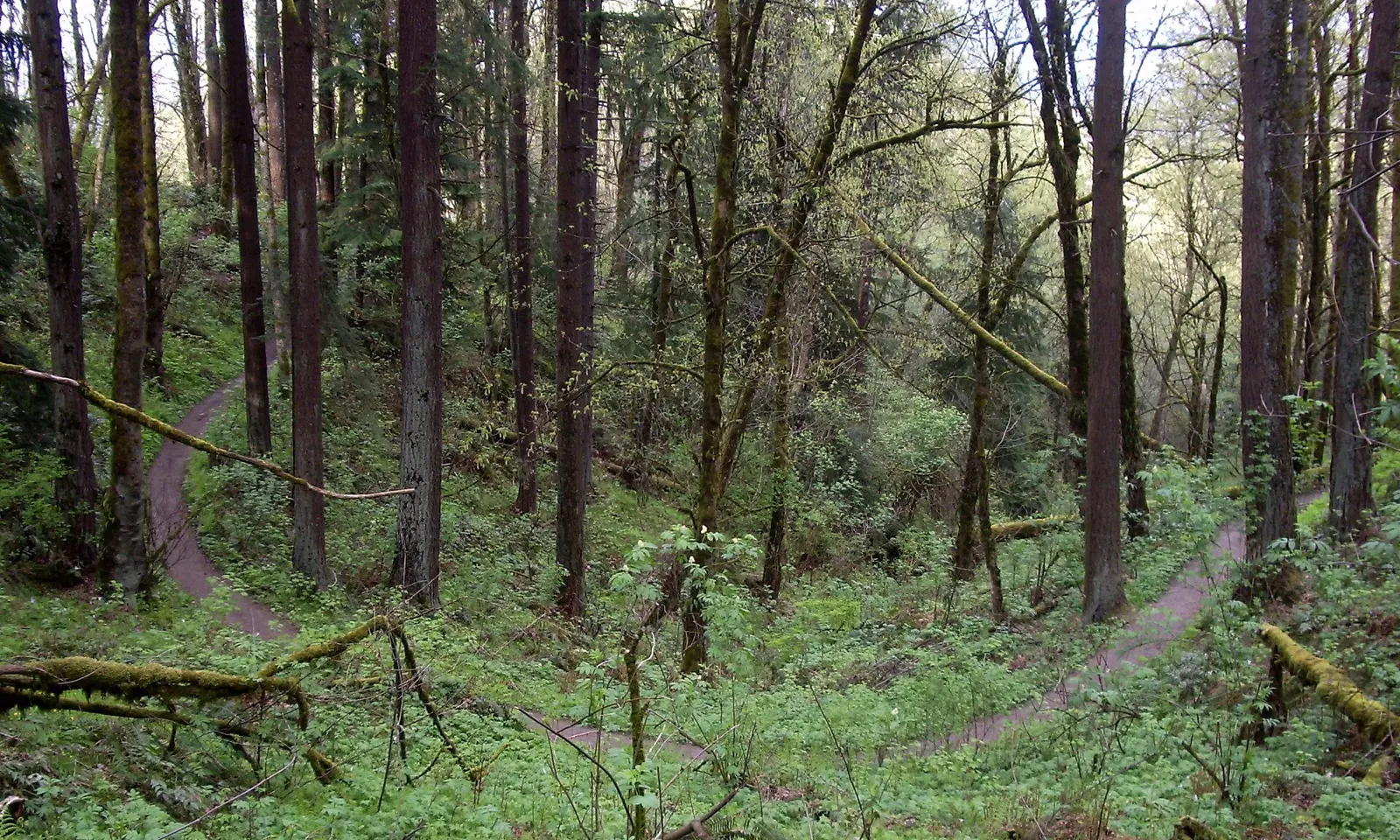
Forest Park covers about 5,200 acres of the hills on Portland's northwest edge. More than 80 miles of trails and fire lanes run through it, and more than 40 access points mean most of the city can be on a trail within minutes.
The route
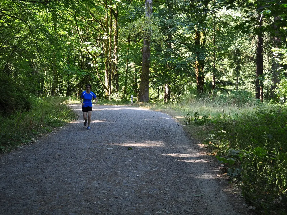
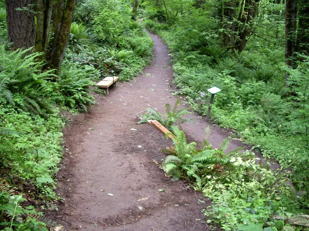
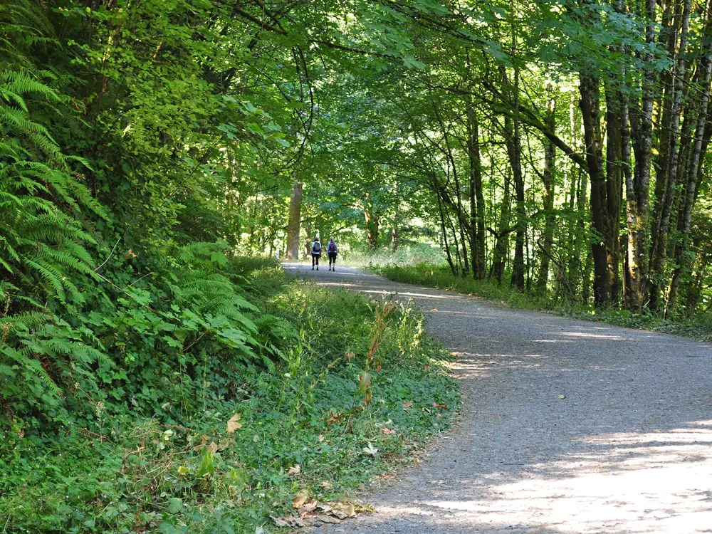
The Wildwood Trail, a National Recreation Trail, runs 30.2 miles from the Vietnam Veterans Memorial in Washington Park to NW Newberry Road. It enters Forest Park proper at West Burnside around mile 3, and blue diamonds painted on trees every quarter mile carry the distance from the start. Below it, Leif Erikson Drive, a road first meant to serve housing that was never built and renamed in 1933, runs 11.2 miles from NW Thurman Street to Germantown Road on a wide packed-rock surface, with white posts every quarter mile. Cross trails connect the two, so loops of almost any length are possible. The Lower Macleay Trail follows Balch Creek up from NW Upshur Street and meets the Wildwood after about 0.8 miles.
When to go
July and August are the driest months. The rest of the year brings rain, and wind and high water can cause downed trees, landslides and flooding, so check Portland Parks and Recreation's closures page before a long run.
Getting there
The MAX Red Line runs from Portland airport to downtown in about 40 minutes for $2.80. For Lower Macleay, take bus 15 or 77 to NW Vaughn Street and 27th Avenue; for the south end of the Wildwood, use the Washington Park MAX station.
Permits and booking
No permit or fee is needed, and parking is free. Dogs must be on a leash. Bikes are allowed only on certain roads and fire lanes, more than 25 miles in all, and e-bikes and scooters are not allowed.
How hard it is
The Wildwood is natural-surface singletrack that zigzags in and out of side canyons, so it climbs and drops constantly. Lower Macleay has grades of 16 to 20 percent, with roots and cobbles. Leif Erikson is wide and gentle, a good place for long steady runs.
Where to sleep
Northwest Portland, around NW 23rd Avenue, is a short run from the Lower Macleay and Thurman Street trailheads.
Tips
Phone signal is patchy in the park, so download a map before you go.
Do not leave valuables in sight in cars at trailheads, where break-ins happen.
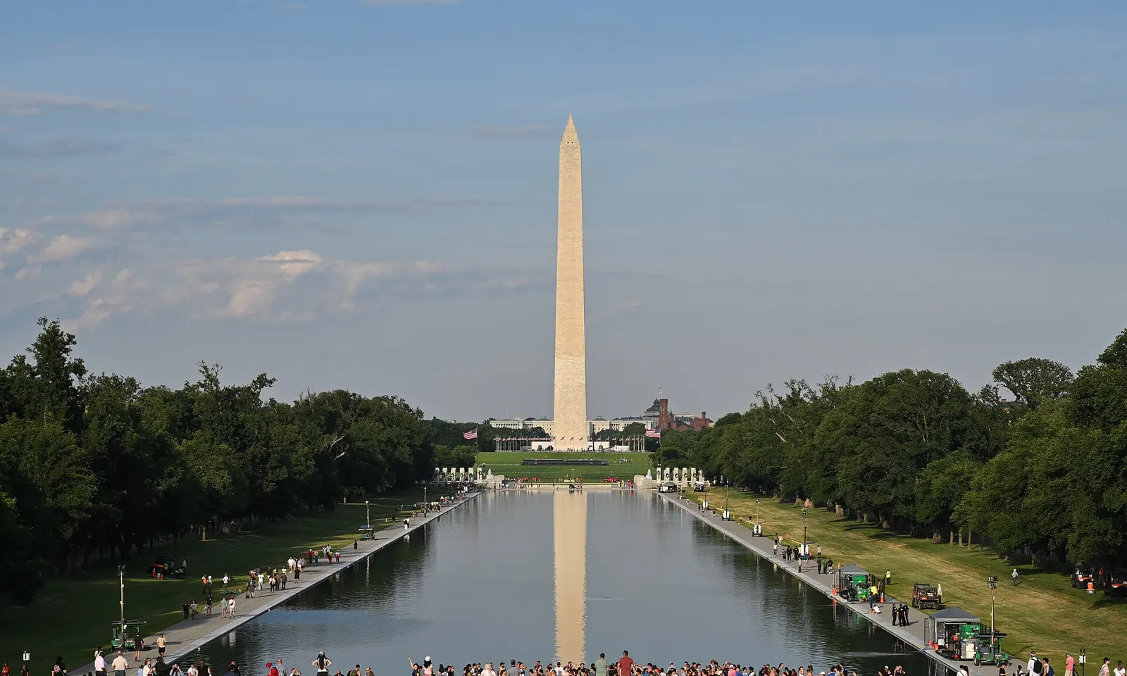
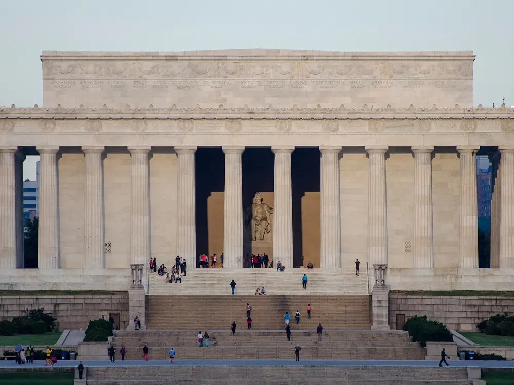
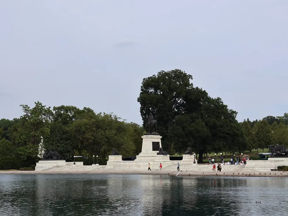
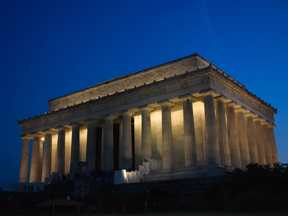
The National Mall stretches more than two miles from the foot of the Capitol past the Washington Monument to the Lincoln Memorial on the Potomac, and it is open 24 hours a day. A short way north, Rock Creek Park gives the city a wooded valley where several miles of road are now kept for people on foot and on bikes.
The route
Lincoln Memorial to the Capitol is 2 miles, so an out and back is 4. A classic 6 mile loop starts at the Lincoln Memorial and crosses the Arlington Memorial Bridge into Virginia, follows Memorial Avenue to the gates of Arlington National Cemetery, and takes the path beside Route 110 past the Netherlands Carillon to the Marine Corps War Memorial at about 2 miles. It returns by Columbia Island and the Potomac path to the 14th Street Bridge, then around the Tidal Basin past the FDR and Martin Luther King Jr. memorials. In Rock Creek Park, about 5 miles of road are closed to cars year round, including Beach Drive from Broad Branch Road to Joyce Road, from Picnic Area 10 to Wise Road, and from West Beach Drive to the Maryland line. The Mount Vernon Trail adds 17 paved miles along the Virginia shore.
When to go
The Mall is open 24 hours a day, and the Park Service suggests early morning and early evening, when it is quietest. The Marine Corps Marathon is on Sunday 25 October 2026.
Getting there
Smithsonian (12th Street and Independence Avenue SW) and Foggy Bottom (23rd and I Streets NW) are the closest Metro stations to the Lincoln Memorial. Arlington Cemetery station is on the Virginia side of the loop.
Permits and booking
No permit is needed to run. You may walk the paths of Arlington National Cemetery but not run there. The Marine Corps Marathon starts between the Pentagon and the cemetery and finishes uphill at the Marine Corps War Memorial; runners must be 14 or older and must pass the 14th Street Bridge by 1:15 pm at mile 20, with other time checks in DC and Crystal City.
How hard it is
The Mall is flat. The road up to the cemetery and the Marine Corps Memorial is a steady climb, about 211 feet for the whole loop.
Where to sleep
Hotels in Foggy Bottom and around the Mall's north side are a short run from the Lincoln Memorial.
Tips
Stop at the Netherlands Carillon, whose 50 bells give daily concerts, before the climb to the Iwo Jima memorial.
Rock Creek Park's car-free roads are the place for long runs away from traffic.
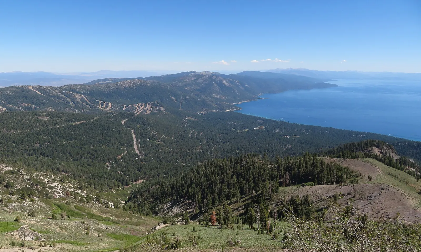
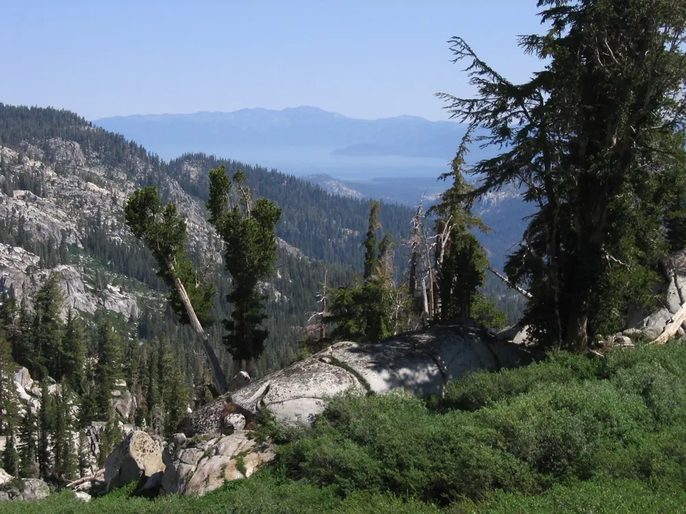
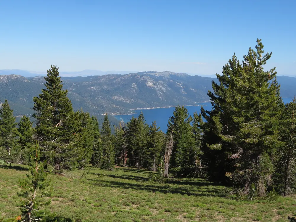
The Tahoe Rim Trail circles the whole Lake Tahoe basin along the ridges, between about 6,200 and 10,338 feet, with long views over the lake. Volunteers built nearly all of it, finishing in 2001. On the west shore, Olympic Valley, site of the 1960 Winter Olympics, is the start of the Western States 100, run to Auburn every June.
The route
The trail is run in sections. Tahoe City to Brockway Summit is 20.5 miles. Brockway Summit to Tahoe Meadows on the Mount Rose Highway is 20.2 miles through the Mount Rose Wilderness, over Relay Peak, the highest point on the trail. Tahoe Meadows to Spooner Summit, 24.1 miles along the Nevada side high above the east shore, is the best known run. Spooner Summit to Kingsbury is 19 miles, and Echo Lakes to Barker Pass 32.5 miles through the granite of Desolation Wilderness. About 50 miles of trail above the west shore are shared with the Pacific Crest Trail. Western States climbs from the valley floor at 6,200 feet to Emigrant Pass at 8,750 feet in its first four miles.
When to go
The main season is July to September. Expect snow on the trail until late June, or into July after a heavy winter, and snow can linger into August on high ground. Smoke and summer thunderstorms can change plans. Western States runs on 26 and 27 June 2027.
Getting there
Reno-Tahoe International Airport is about 35 miles from Incline Village on the north shore and about 60 miles from Stateline on the south shore.
Permits and booking
You need a permit to enter Desolation Wilderness. On 14 August 2026 the Forest Service closed the section from Barker Pass to the junction with the Pacific Crest Trail near Twin Peaks because of the Talbot Fire, so check the Tahoe Rim Trail Association's trail conditions before you go. Western States entry is by lottery: applications for 2027 run from 1 to 21 November, and the drawing is on 5 December.
How hard it is
Long, remote and high. Most of the trail lies between about 6,200 and 10,300 feet, sections run 20 miles or more between road crossings, and some springs and creeks dry up by late summer. Bikes are allowed on about half the trail. Western States covers 100.2 miles to Auburn, climbing more than 18,000 feet and descending nearly 23,000.
Where to sleep
Tahoe City and Incline Village are close to the northern sections and to Olympic Valley; South Lake Tahoe suits the southern ones.
Tips
Carry all the water you need, since seasonal creeks stop flowing by late summer, and pack out every bottle if you cache water at road crossings.
Start early on summer days to be off the high ridges before afternoon thunderstorms.
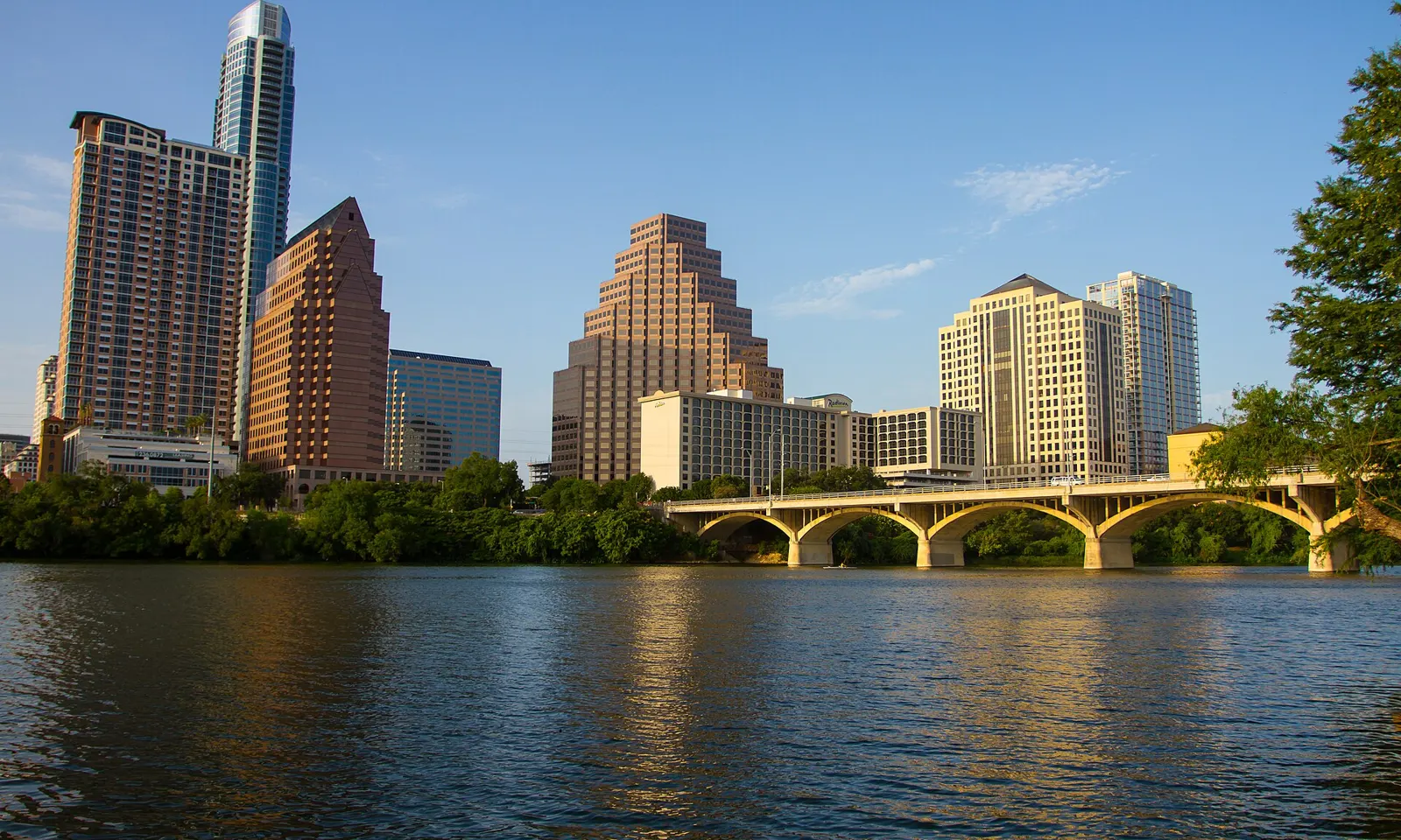
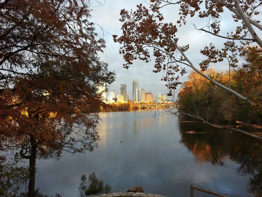
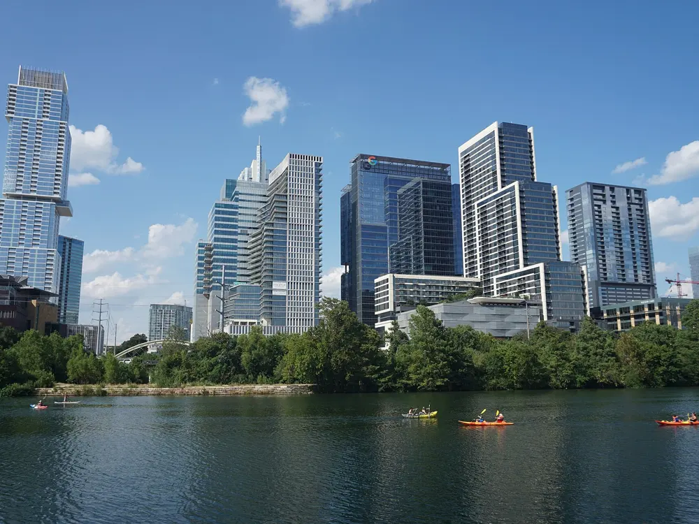
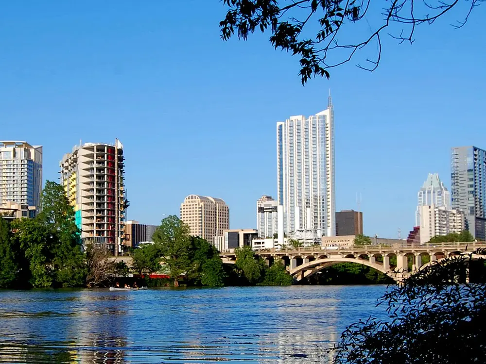
The Ann and Roy Butler Hike-and-Bike Trail loops Lady Bird Lake through downtown Austin, and with more than 2.6 million visits a year it is the most used trail in Central Texas. It is named for a former mayor and his wife. In 2014 the city finished the Boardwalk, a 1.3 mile deck on more than 300 piers above the water on the south shore.
The route
The full loop is a flat 10 miles, mostly on decomposed granite with some paved stretches and the Boardwalk. The pedestrian bridges let you cut it shorter: from the MoPac bridge by Austin High School it is 2.9 miles to the Pfluger Bridge and 4.5 miles to Congress Avenue. The eastside loop is about 4 miles. The trail was remeasured in autumn 2025, and the new distances are on its mile markers and welcome signs. The Austin Marathon starts at 2nd Street and Congress Avenue and finishes near the Texas State Capitol.
When to go
Autumn, winter and spring. The hot season runs from early June to mid September, with average highs above 90°F (32°C), and August averages 96°F (36°C). The Austin Marathon is on Sunday 14 February 2027, starting at 7 am.
Getting there
CapMetro Route 20 runs from Austin-Bergstrom International Airport to downtown in about 35 minutes for $1.25.
Permits and booking
No permit is needed. The Boardwalk is open from 5 am to midnight. Dogs must be on a leash, electric bikes must stay under 10 mph, and electric scooters and one-wheeled skateboards are not allowed on the trail. Fishing is allowed only from the Boardwalk rest areas.
How hard it is
Easy underfoot, with about 176 feet of climbing on the whole loop. Heat and humidity are the real test from June to September.
Where to sleep
Downtown hotels are a short walk from the north shore of the loop.
Tips
Restrooms are at Auditorium Shores, Butler Metro Park, Festival Beach and International Shores, among others.
For the full loop, park at Festival Beach on the east side.
Sources
Distances, heights, seasons and permit rules were checked against these pages. Rules change, so check the park or trail authority before you go.