India's running calendar has grown fast: the Mumbai Marathon drew more than 69,000 participants in 2026, and races now climb to Khardung La in Ladakh and into the Sahyadri hills above Satara. These ten go from the Himalaya in the north to the Nilgiris in the south, taking in the city parks where people train before work, a forest township on the east coast and a stage race along the Nepal border.
For each place you get the classic runs, the best season, how to get there, race entry rules and park rules, how hard it is and where runners stay. Every fact comes from race organisers, tourism bodies or the other pages linked at the bottom.
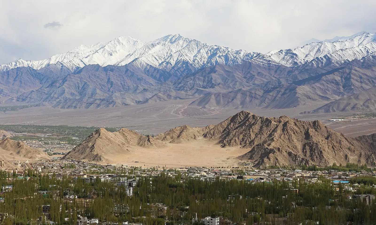
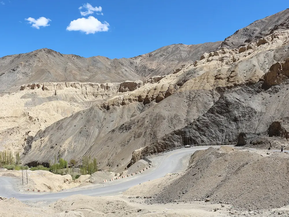
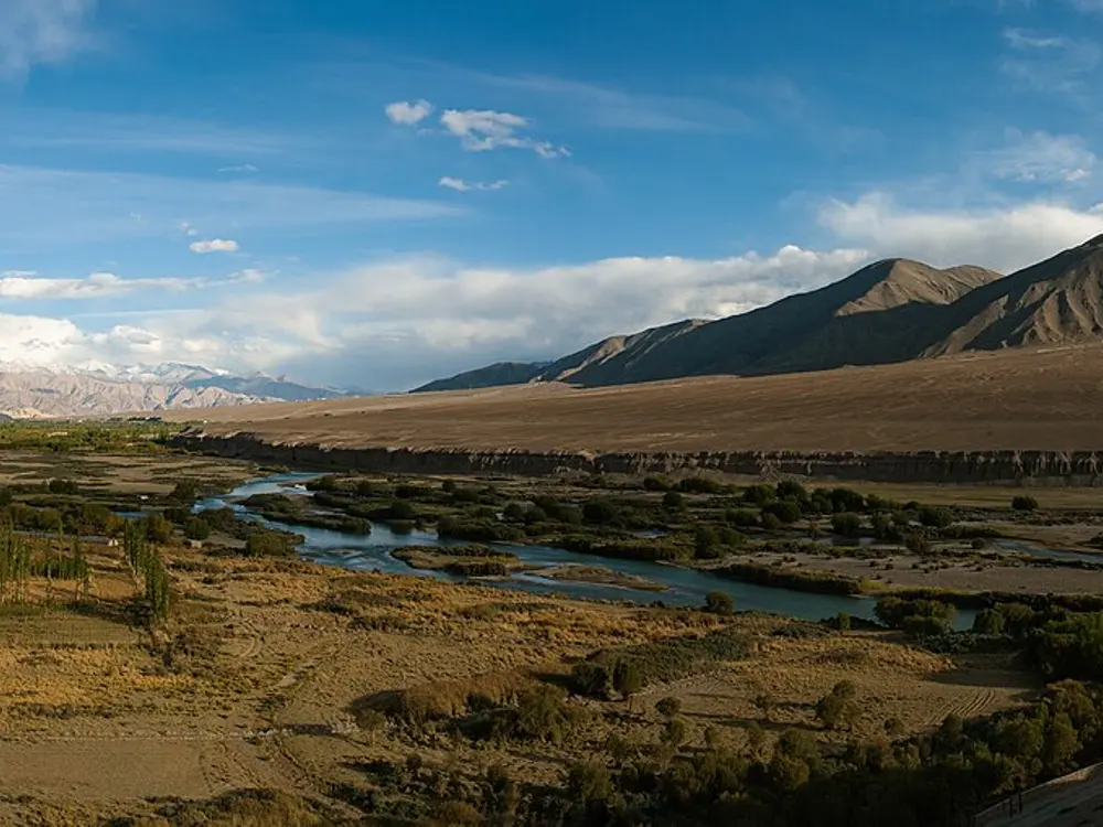
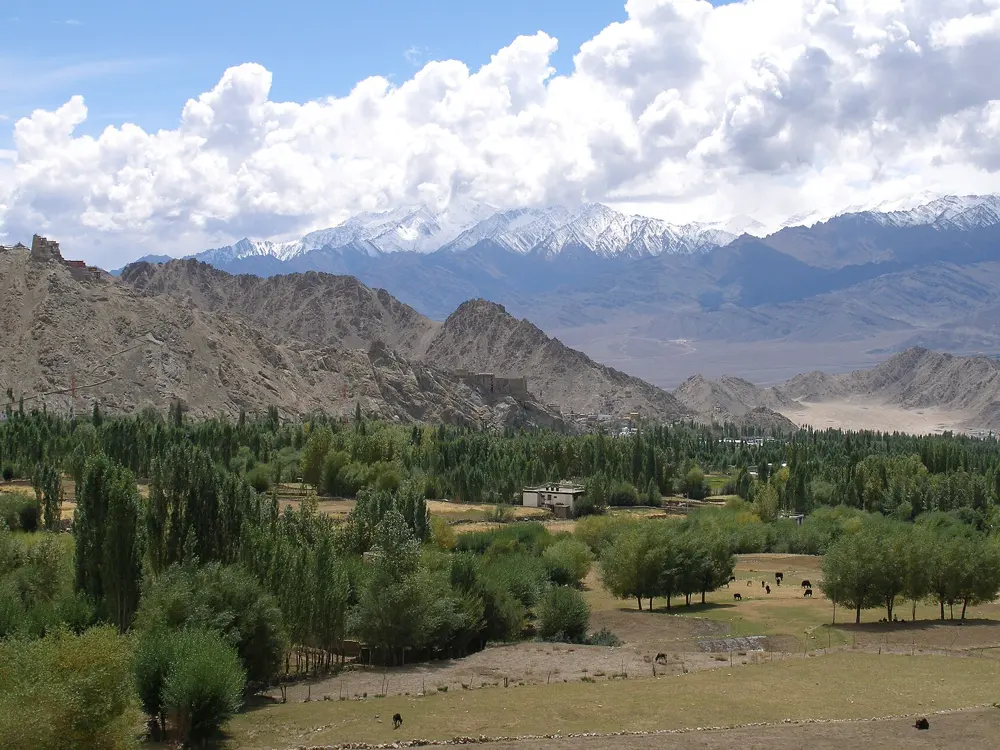
Leh sits at about 3,500 metres, so every run here starts higher than most people ever race. The Ladakh Marathon began in 2012 with about 1,500 runners and drew about 7,200 to its 13th edition in September 2026. Its two ultras cross Khardung La, a road pass at about 5,370 metres, and come down into Leh. Outside race week the same roads and the open desert valleys around the town make it the obvious place in India to learn what altitude does to you.
The route
The marathon, half marathon and 11.2 km run all start at NDS Memorial Stadium in Leh. The marathon follows the Leh to Manali highway on mostly flat to gently rolling asphalt, and the half is an out and back on the town's suburban roads. The Khardung La Challenge is 72 km from Khardung village, climbing about 1,390 metres in its first 32.2 km to the pass before the long descent to Leh Market. The Silk Route Ultra, 122 km, starts the evening before in Kyagar village in Nubra and runs through the night to reach the pass.
When to go
The race is held in the second week of September; in 2026 the ultras ran on 10 and 11 September and the shorter races on 13 September. September is the driest month, with about 8 to 10°C at a 6 am start in Leh, rising to 18 to 20°C. At the top of Khardung La it can be minus 5 to plus 2°C, with high wind and possible snow.
Getting there
Most runners fly into Leh, and flights fill fast in race season, so book them four to six months ahead. Ultra runners must be in Leh at least 10 days before their race. For the shorter distances a guide recommends arriving 7 to 10 days early, resting fully for the first two days and only jogging from about day five.
Permits and booking
Entries open once a year (19 February to 23 March for 2026) and every race asks for previous marathon details and finisher certificates. Ultra applications need a non-refundable Rs 3,000 deposit. Bibs are collected in person at the expo in Leh. Crossing Khardung La toward Nubra needs an Inner Line Permit or Restricted Area Permit, which ultra runners carry on race day.
How hard it is
Hard at any distance because of the altitude, and very hard on the ultras. The Khardung La Challenge must reach the top in 8 hours and finish in 14. The marathon cut-off is 6 hours 45 minutes, and people with heart disease or high blood pressure are told not to take part.
Where to sleep
Leh Main Town and Old Leh Road are a five minute walk from the stadium; Changspa and Fort Road are about 10 minutes away, and Choglamsar, 5 to 8 km out, is cheaper but needs a taxi.
Tips
Check your oxygen saturation every day while you acclimatise, and go to SNM Hospital in Leh if you feel altitude sickness.
Carry windproof layers and gloves for Khardung La even in September.
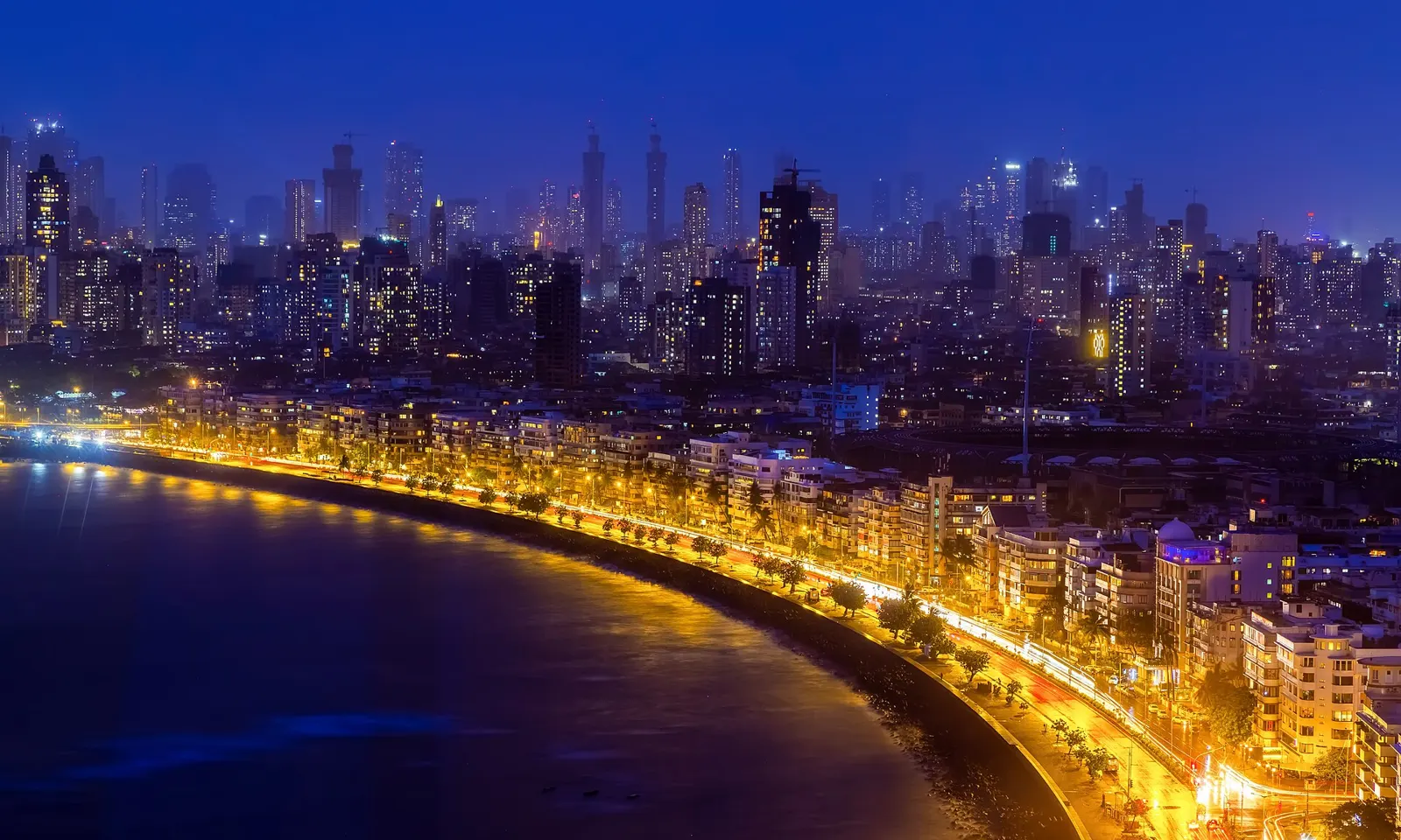
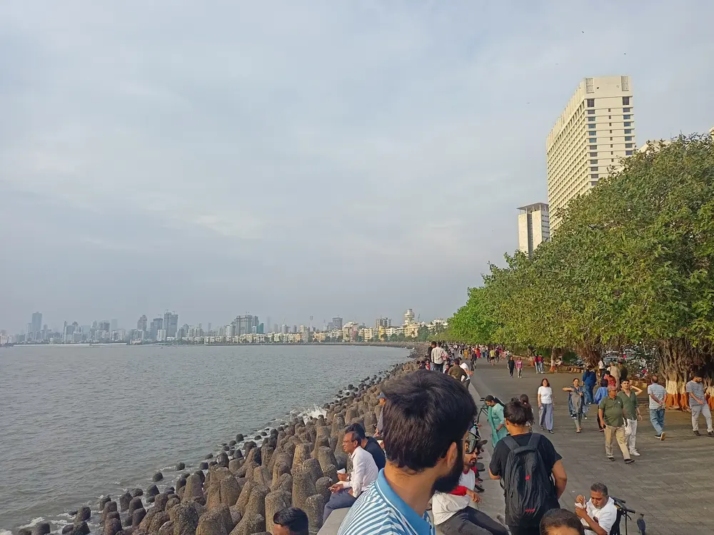
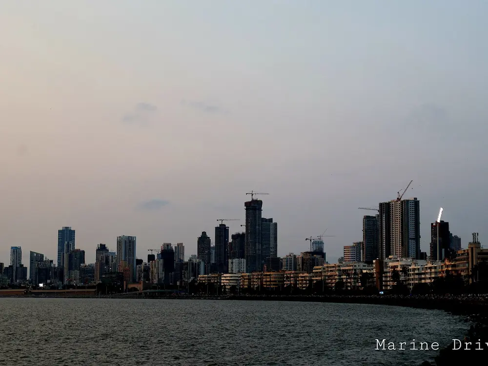
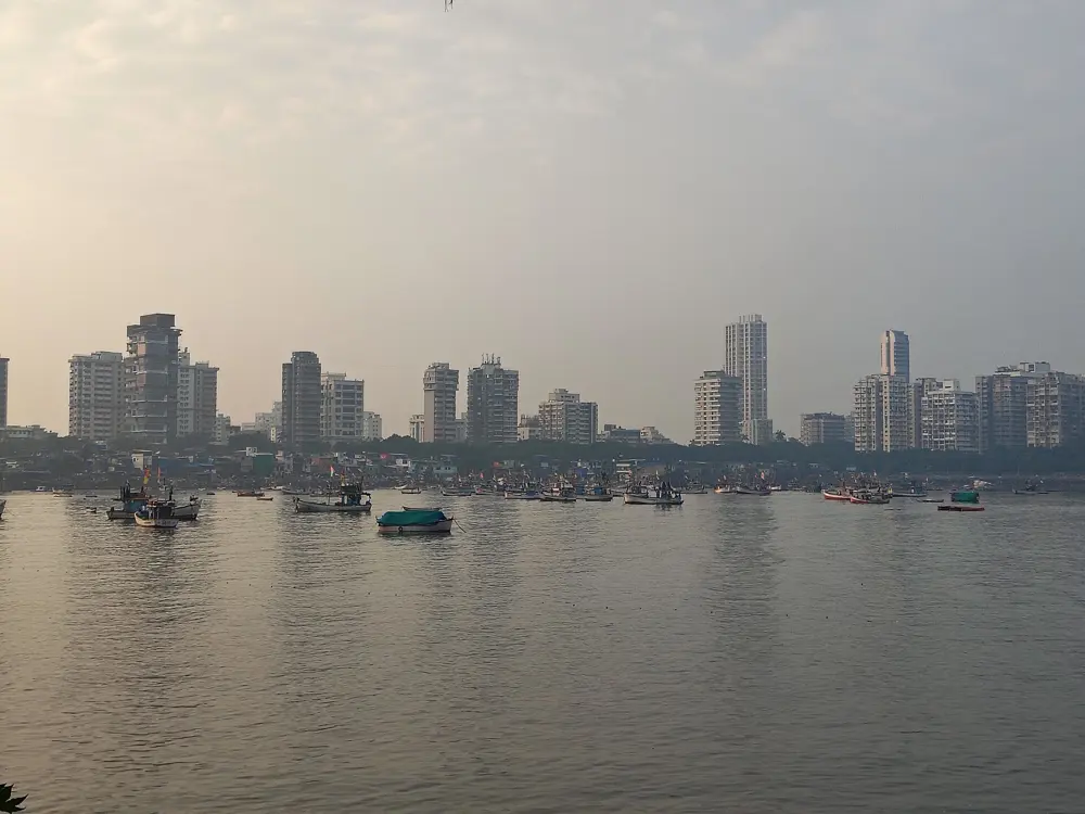
Marine Drive is the sea wall of south Mumbai, a curved promenade along the bay that the city calls the Queen's Necklace for the line its streetlights make at night. It was built in 1940 and runners use it at every hour; the route guide Great Runs says it is busy all day, popular at night and well lit enough to run after dark. Every January it is the opening stretch of the Tata Mumbai Marathon, which had more than 69,000 participants in 2026.
The route
Great Runs measures 4.3 km from Wilson College in the north to Nariman Point in the south, passing the aquarium at 1.3 km and the Bombay High Court at 3.5 km. There is a slight grade, a little downhill for the first half heading south and rolling after that. Running there and back gives a little under 9 km. Worli Sea Face, further north, is a separate stretch of about 3 km by the water. The marathon starts at Chhatrapati Shivaji Maharaj Terminus and, by a runner's guide, uses Marine Drive in its first 8 km before crossing the Bandra-Worli Sea Link and returning by the coastal road and Pedder Road; its total climb is under 80 metres.
When to go
A guide to the promenade picks early morning or late afternoon between November and March. On marathon morning in January it is about 18 to 22°C at the start and 24 to 26°C by mid-morning, with humidity of 60 to 80 percent, which one guide reckons makes a pace feel 15 to 20 seconds a kilometre harder.
Getting there
Local trains stop at Charni Road at the northern end and Churchgate at the southern end, so you can start at either and catch a train back.
Permits and booking
The promenade is open to anyone. The marathon is on Sunday 17 January 2027 and runners must be 18 or over. Marathon and half marathon applicants need a timing certificate from a race on or after 17 July 2025, at 6:54:00 or faster for a marathon or 3:18:35 for a half. Entries close when the race is full, and bibs are collected in person at the expo.
How hard it is
Easy on the promenade itself. The marathon is flat but humid, and a runner's guide gives a 6.5 hour cut-off.
Where to sleep
Hotels along Marine Drive and around Churchgate put you on the promenade, and close to the marathon start at the Terminus.
Tips
Run the promenade before sunrise, when it is coolest and least crowded.
If you race in January, arrive at least two days early to adjust to the humidity.
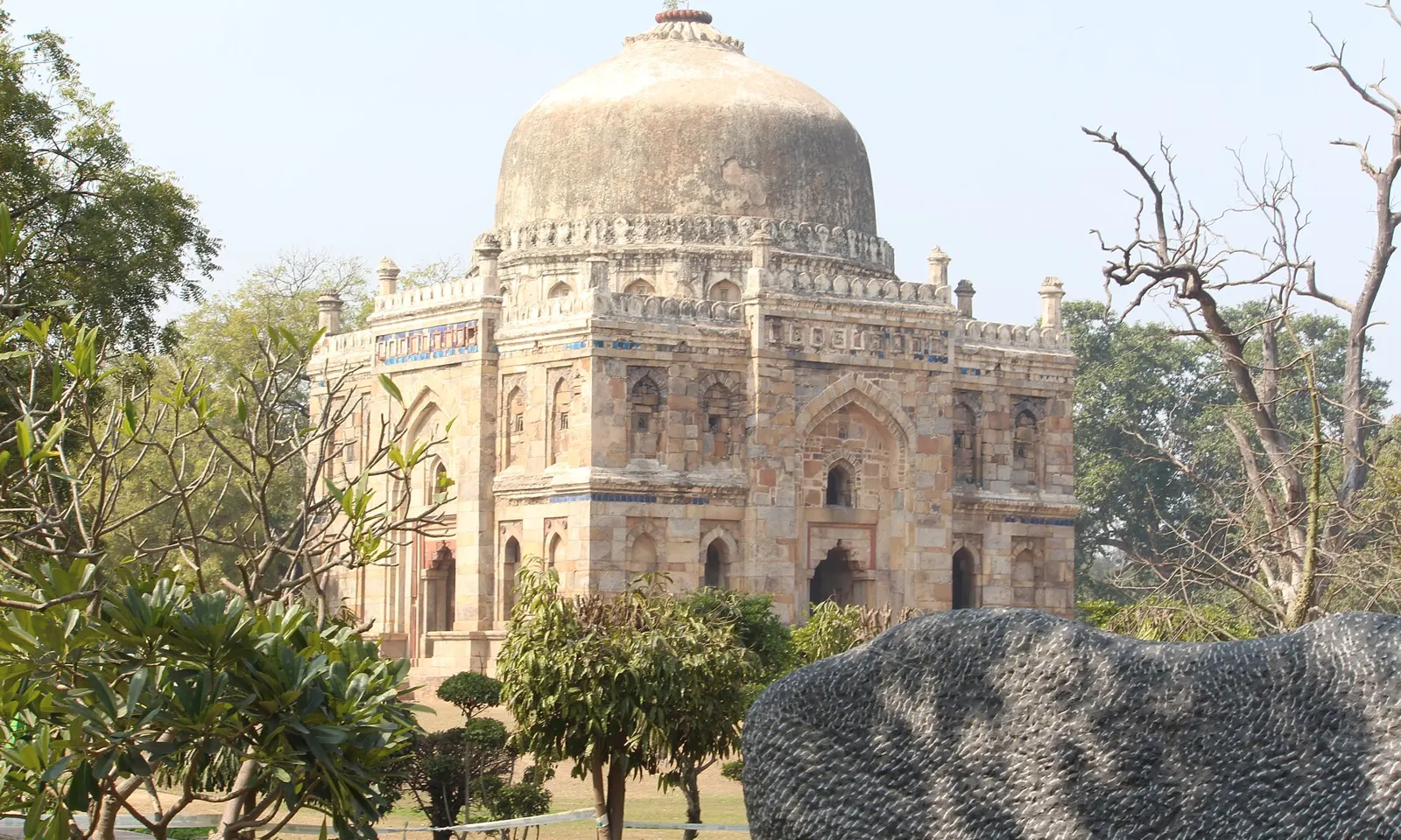
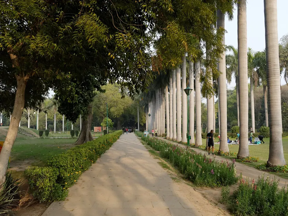
Lodhi Garden is a 90 acre park dotted with tombs from the late 15th and early 16th centuries, crossed by stone and gravel paths under old trees. Just south of India Gate, the Lodhi Estate around it is one of the quieter parts of the city to run. Each October the Delhi Half Marathon, a World Athletics Gold Label race, uses Lodhi Road on its way past India Gate and Kartavya Path.
The route
The main circuit inside the garden is about 2.5 km, and many cross paths let you vary it. Great Runs suggests leaving the park for the streets of Lodhi Colony, where most of the murals from the Lodhi Art Festival are between blocks 5 and 17, around Khanna Market; the pavements are good and traffic light by Delhi standards. The half marathon starts and finishes at Jawaharlal Nehru Stadium. It is an out and back course with three U-turns and about 188 metres of total climb, most of it on the Mathura Road flyover, which you cross twice. A guide calls the Lodhi Road stretch completely flat.
When to go
The garden is open every day from 6 am to 8 pm. The half marathon is in October; the 2026 race was on 18 October, with the half starting at 5:30 am and race-start temperatures that usually sit between 15 and 22°C. In August and September, go before 7 am to avoid the heat and humidity.
Getting there
Great Runs gives Lodhi Road and Mausam Bhawan as the starting points for the garden loop. The park has several gates.
Permits and booking
Entry to the garden is free. For the half marathon, entries opened on 23 July in 2026 and general places sold out; applicants need a timing certificate, such as a half marathon in 3:30:00. The 2026 fee was Rs 3,200 for the half or the 10K, and it is not refundable. Bibs are collected at the expo before race day.
How hard it is
Easy in the garden. The half has a strictly enforced 3 hour cut-off on gun time.
Where to sleep
Hotels in central New Delhi, around Lodhi Road and India Gate, are close to the garden and the half marathon course.
Tips
Go early: the garden fills with walkers after sunrise, and the roads around it get busier through the morning.
Add a lap of the Lodhi Colony murals to turn a short loop into a longer run.
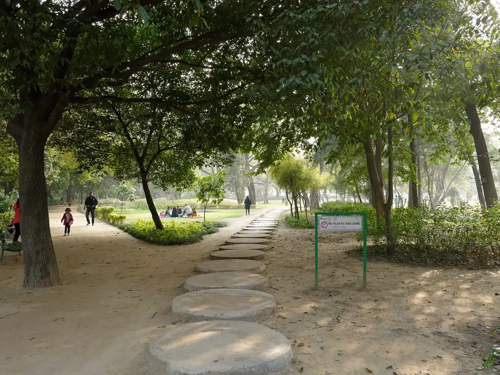
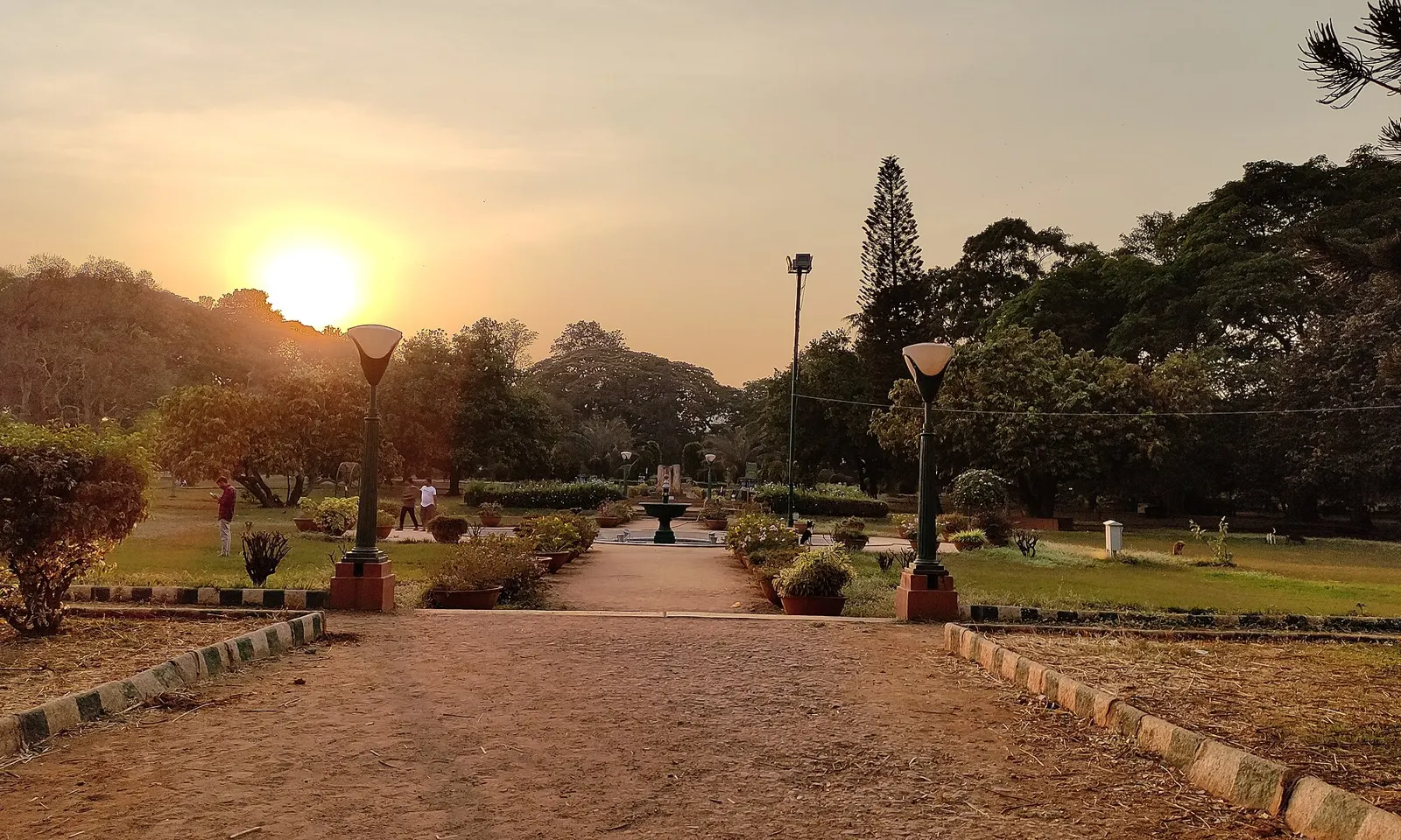
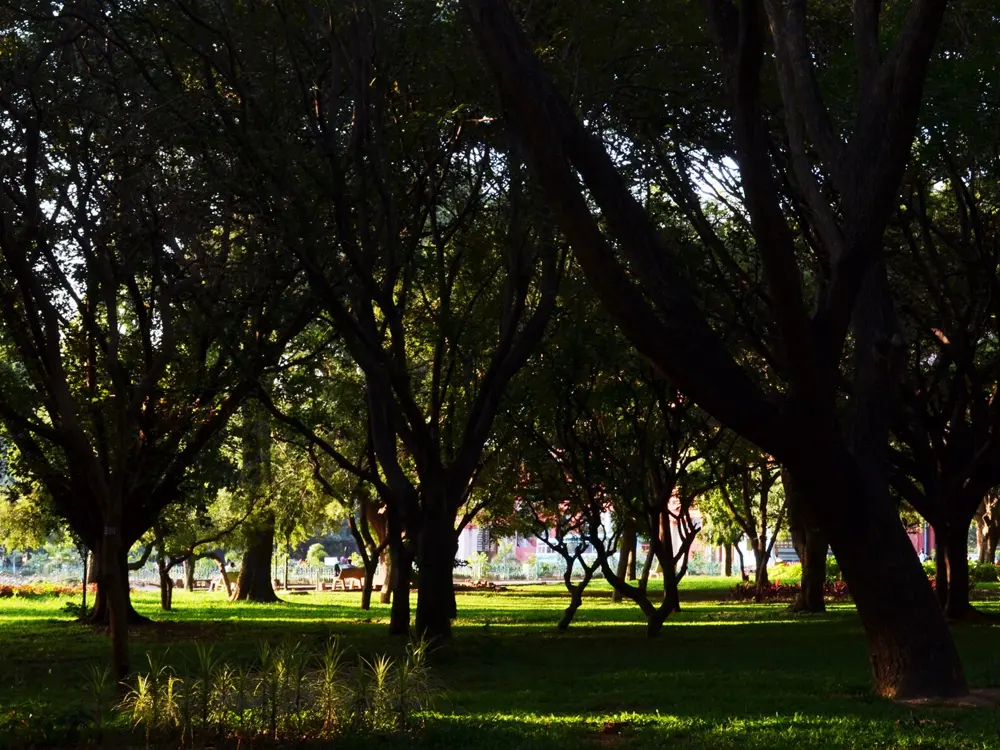
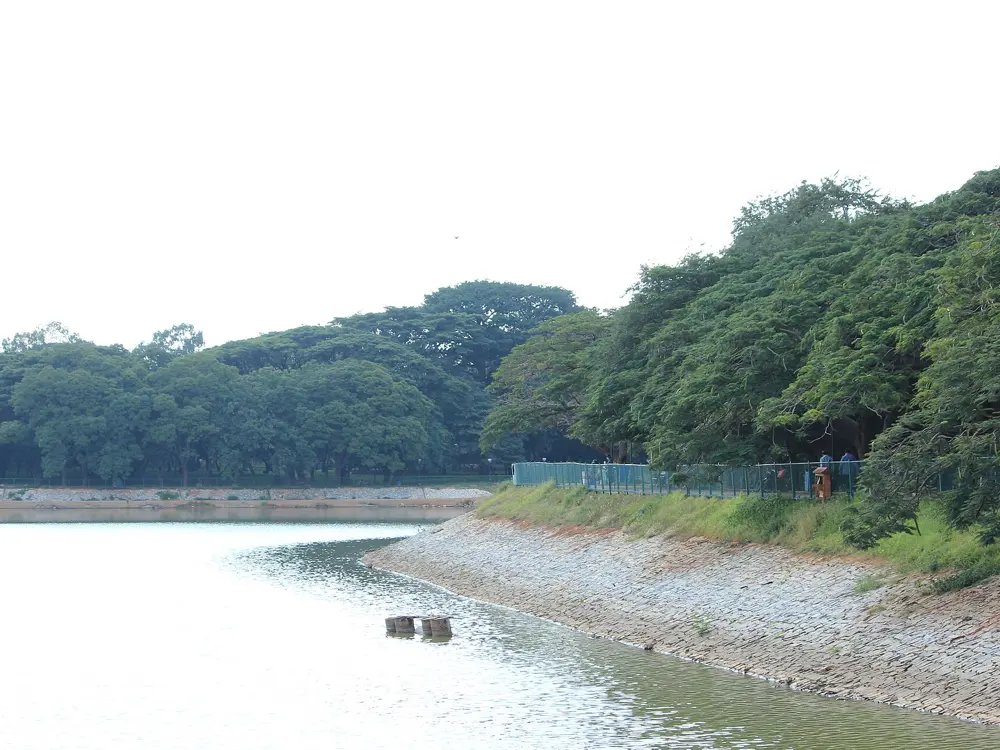
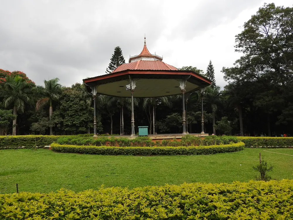
Great Runs calls Bengaluru arguably India's best big city for running, and its two old gardens are why. Cubbon Park, laid out in 1870 in the middle of the city, has shaded paths past the High Court, the State Central Library and the Seshadri Iyer Memorial Hall. Lalbagh, begun by Hyder Ali around 1760 and later enlarged by Tipu Sultan, is a 240 acre botanical garden with a lake and a rock outcrop the state tourism site calls more than 3,000 million years old. Each April the city hosts the TCS World 10K, a World Athletics Gold Label road race.
The route
A loop around the edge of Cubbon Park, using all its gates, is about 5 km, and with the interior paths you can make 5 to 7 km. Kanteerava Stadium, just south of the park, has a 400 metre track open to the public. Lalbagh adds wide paths, the lake and Lalbagh Rock, with the Kempegowda watchtower on top. The TCS World 10K started in 2026 from the Field Marshal Sam Manekshaw Parade Ground and passed Ulsoor Lake, Dickenson Road and Vidhana Soudha.
When to go
Early morning. The roads around Cubbon Park are closed to traffic from 5 to 8 am every day for walkers and runners, and Lalbagh is free for the morning walk from 6 to 9 am and again from 6 to 7 pm. The 2026 TCS World 10K was on 26 April and expected more than 36,000 runners.
Getting there
Cubbon Park has its own metro station, about 15 metres from an entrance, and Vidhana Soudha station is also close. Entrances are on M.G. Road, Kasturba Road, Hudson Circle and Ambedkar Veedhi.
Permits and booking
Cubbon Park is free. Lalbagh charges Rs 30 for adults between 9 am and 6 pm, but the morning and evening walking hours are free. The 10K has its own entry through the organiser.
How hard it is
Easy. Both gardens are flat and shaded, though you share the paths with a lot of walkers.
Where to sleep
Hotels on and around M.G. Road are a few minutes from Cubbon Park and its metro station.
Tips
Run Cubbon Park between 5 and 8 am, when its roads are closed to traffic.
Climb Lalbagh Rock at the end of a run for the sunrise view.
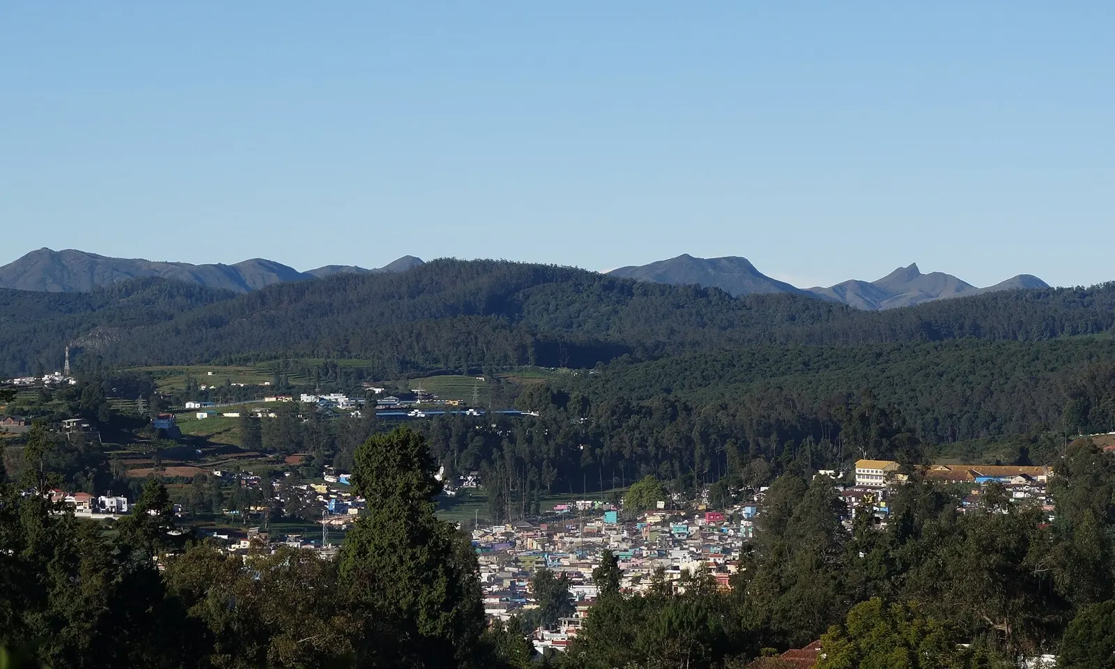
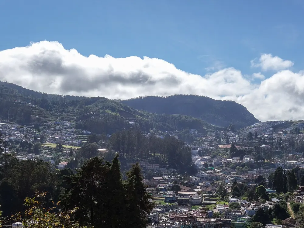
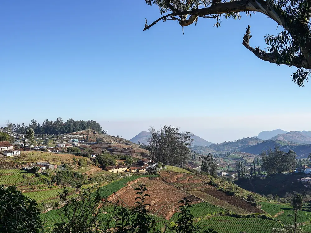
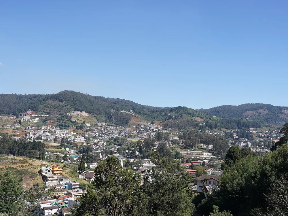
Ooty sits at 2,240 metres, and distance runners have long come to the Nilgiris to train in the thinner air. The secretary of the Nilgiris Athletics Association told the Deccan Chronicle in 2018 that a number of athletes come there to train for long-distance events, and at that time the state was building a high altitude training centre beside the HADP stadium on Garden Road. The hills around the town are tea gardens, forest and steep roads, and the Ooty Ultra uses them for its road ultras.
The route
Running in Ooty means hills. Doddabetta, the highest peak in the Nilgiris at 2,623 metres, is about 10 km from town and is the obvious long climb. Ooty Lake, an artificial lake of 65 acres made in 1824, gives a flatter stretch. The Ooty Ultra, organised by KaysFIT Academy, has 15, 30, 60 and 90 km races on steep up and down gradients.
When to go
Summers average 10 to 25°C and winters 0 to 21°C, so it is cool enough to run all year. Rain is heaviest from June to November, peaking in October, and January and February are the driest months. The next Ooty Ultra is on Sunday 21 March 2027.
Getting there
The nearest airport is Coimbatore International, 96 km away. The Nilgiri Mountain Railway, a metre gauge line, climbs to Ooty from Mettupalayam.
Permits and booking
No permit is needed to run on Ooty's roads. The Ooty Ultra is entered through the organiser's own site.
How hard it is
Moderate to hard. The altitude is enough to feel on your first runs, and most routes climb.
Where to sleep
Hotels and guesthouses around the lake and the town centre put you close to the stadium and the Doddabetta road.
Tips
Take the first few days easy while you get used to the altitude.
Carry a layer: mornings in winter can be close to freezing.
The Satara Hill Half Marathon is a climb from the city into the Sahyadri hills toward the Kaas Plateau, and straight back down. It holds Guinness World Records titles from 2016 and 2017 for the most runners in a mountain half marathon, with 2,618 verified finishers, and the organisers were aiming for more than 9,000 registered runners in 2026. For the rest of the year the same winding road is Satara's training hill.
The route
The race starts and finishes at the Police Parade Ground in Satara. Runners begin at about 700 metres and climb on winding roads to a U-turn on Kas Pathar Road at about 1,150 metres, then come back the same way. The return includes steep, technical downhill sections, which hurt more than the climb if you have not trained for them. The organisers place medical base camps every 2 km and more than 11 drink stations.
When to go
The race is held in early September; the 2026 edition was on Sunday 6 September, with reporting at 5:30 am and the start at 6:30 am.
Getting there
The start is at the Police Parade Ground in Satara city. Bibs are only given out at the expo at Abhaysinhraje Sanskrutik Bhavan, Shendre Fata, on the two days before the race, so plan to arrive by Saturday.
Permits and booking
No permit is needed to run the road outside race day. Race entries open in April in two phases, the second running until places fill. Runners must be at least 16. The 2026 fee was Rs 2,500 plus GST for outstation runners and Rs 1,700 plus GST for Satara residents. Bibs are not given out on race morning.
How hard it is
Hard. About 450 metres of climbing in the first half, a 3 hour 30 minute cut-off, and a steep descent back to town.
Where to sleep
Hotels in Satara city put you close to both the start and the expo; book early, as the race brings thousands of runners into town.
Tips
Train for the descent as much as the climb: the steep downhill on the way back is where legs give out.
Use the baggage drop at the start, open from 4:30 am.
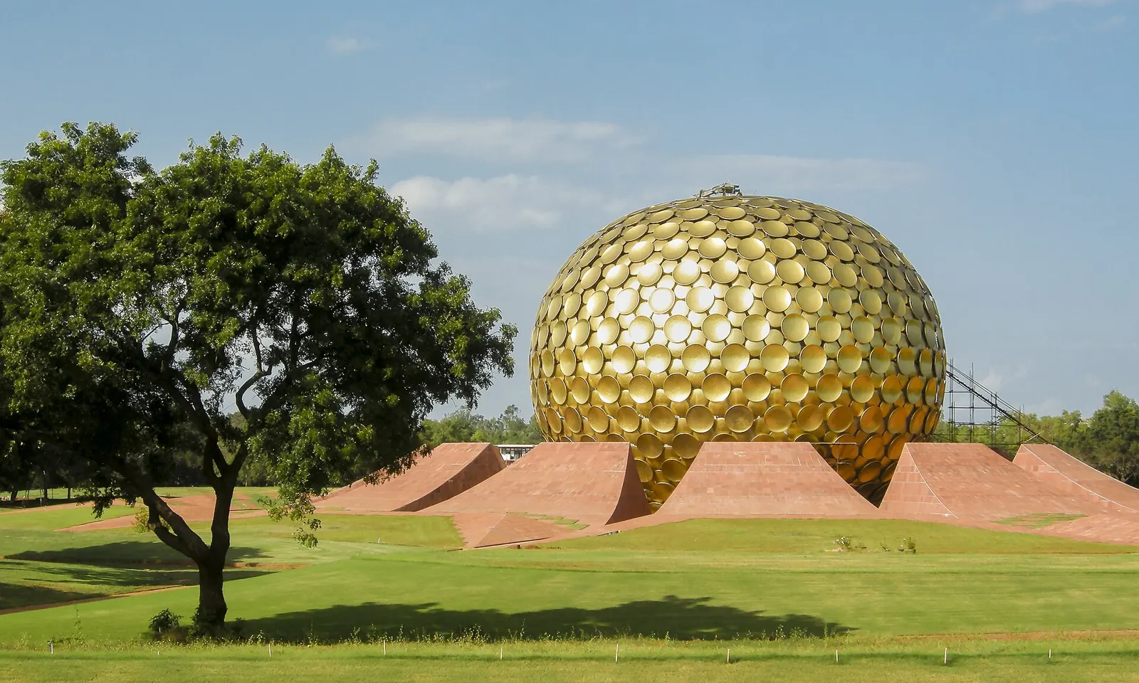
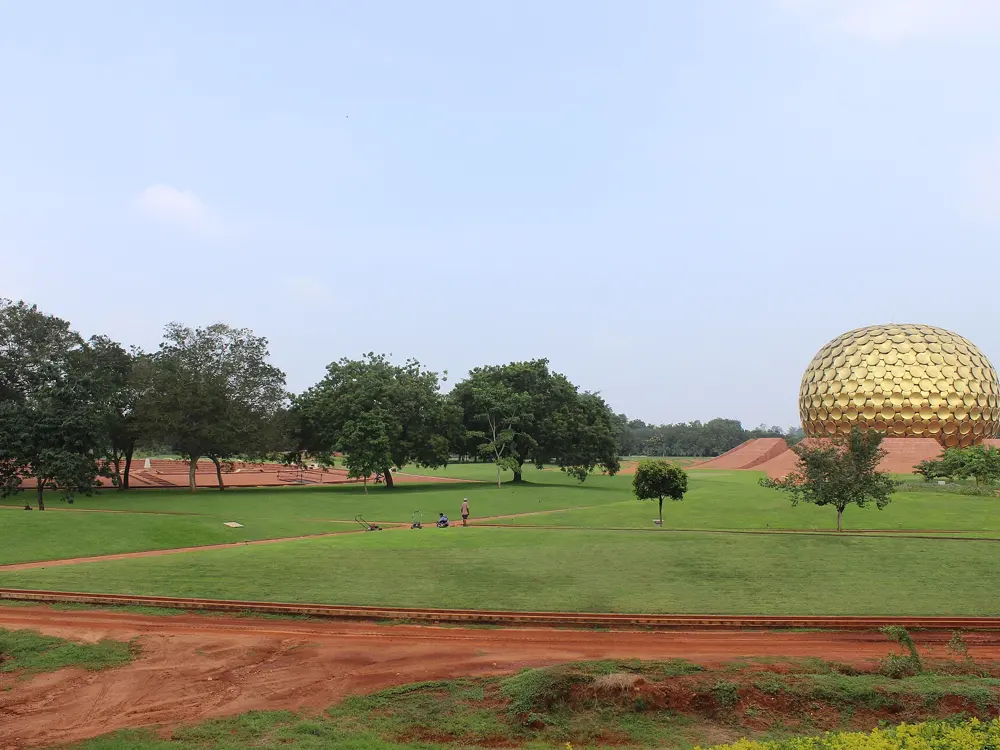
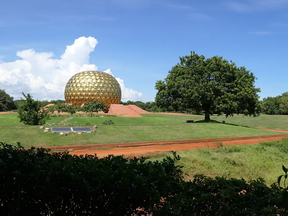
Auroville, the township near Puducherry, is laced with forest paths of red laterite earth that make for soft, shaded running. The Auroville Marathon began in 2008 to mark the town's 40th year, and it stays deliberately small and local: no chip timing and no prizes, according to a runner's guide, with Auroville's own community running the event.
The route
The race has a marathon, half marathon and 10K. By one guide, about 70 percent of the course is unpaved red earth through the forest and 30 percent is paved internal road, with water every 1.8 km or so. The course runs through the township itself. Outside race day, the same forest paths are there for easy runs.
When to go
The marathon is on the second Sunday of February; the next is expected on 14 February 2027 but was not confirmed when this was written. On race morning it is about 20 to 22°C at the 5 am start and 28 to 32°C by 11 am, with low chance of rain.
Getting there
Puducherry is about 12 km away. From Chennai airport it is about 2.5 hours by road, and Villupuram Junction, the nearest main railway station, is about 35 km away.
Permits and booking
Entry is online only, through the official site; there is no race-day entry, and entries cannot be refunded, transferred or changed. The minimum age is 18 for the marathon and half and 16 for the 10K. The 2025 fees were Rs 1,200, 1,100 and 1,000. Bibs are collected the day before, with no collection on race morning.
How hard it is
Moderate. The ground is soft and mostly flat, but it heats up fast: the marathon starts at 5 am and everyone must finish by 11:30 am.
Where to sleep
Guesthouses inside Auroville put you on the course, and hotels in Puducherry are the alternative; book two to three months ahead for race weekend.
Tips
Run the forest paths at first light, before the heat.
The route map is published about two weeks before race day.
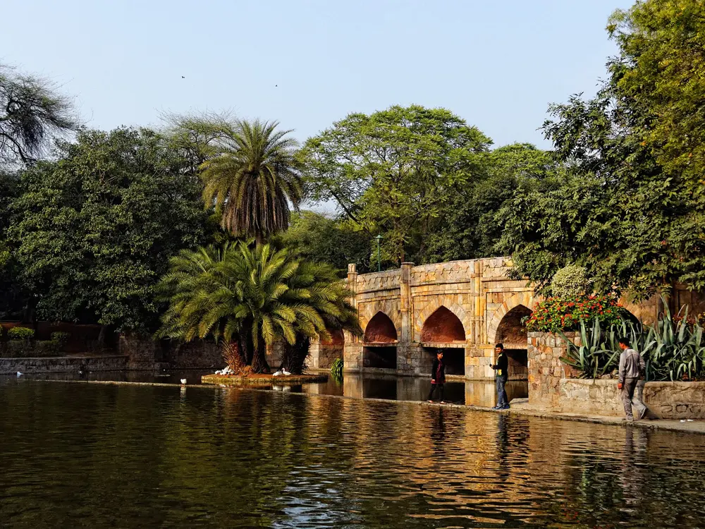
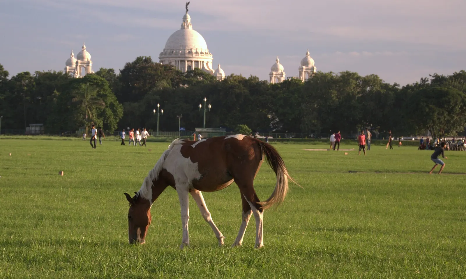
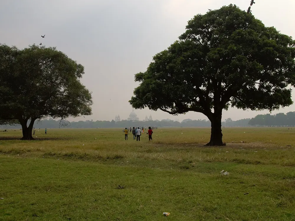
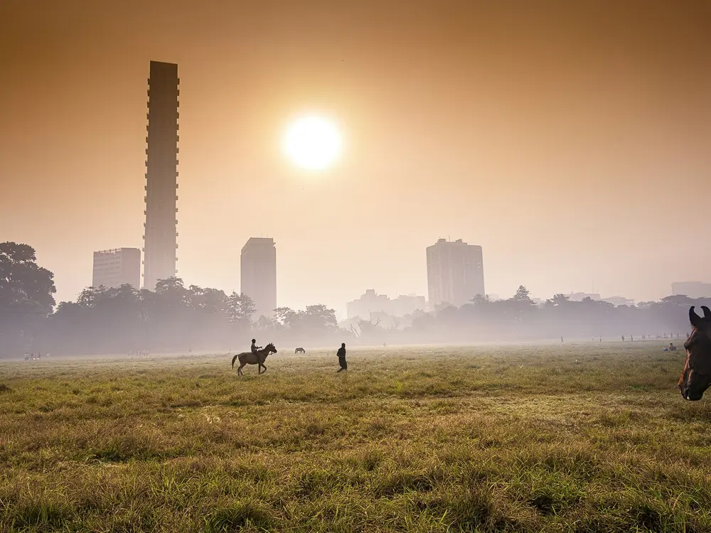
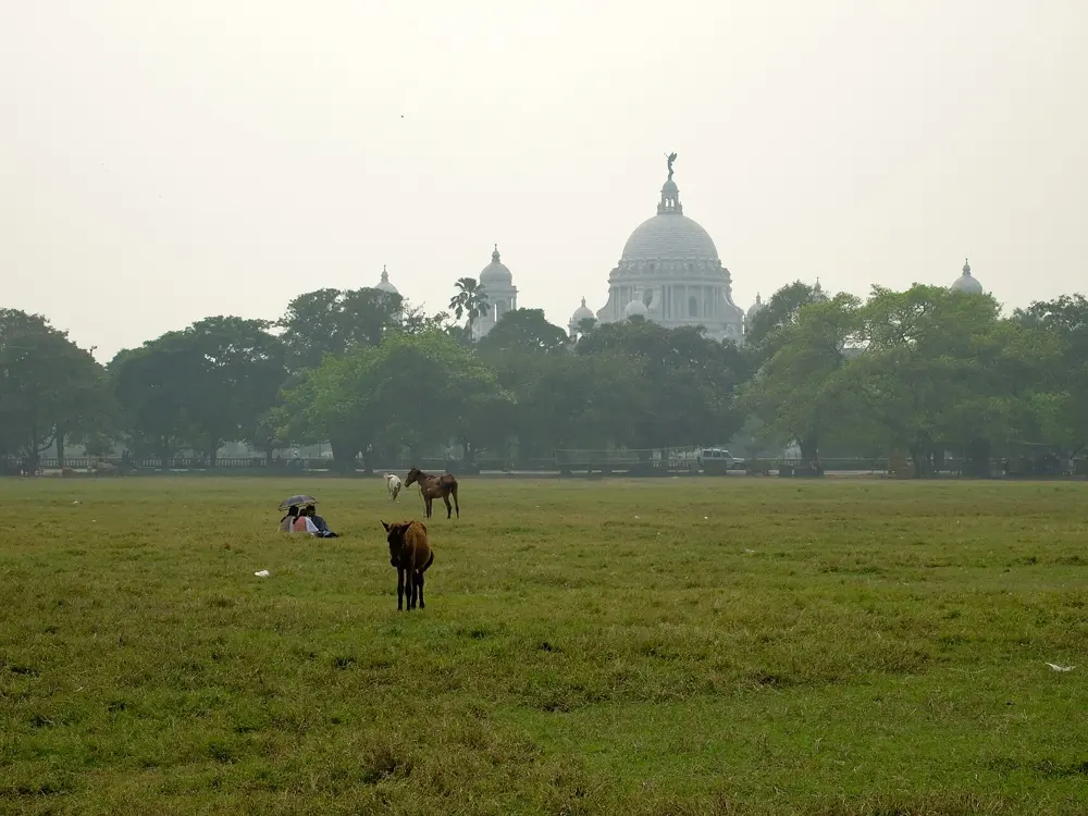
The Maidan is the great open green in the middle of Kolkata, with the Victoria Memorial at its edge, and it is where the city runs and plays. Each December it hosts the Tata Steel World 25K, a World Athletics Gold Label race and, by a runner's guide, the only standalone Gold Label race at that distance. In the south of the city, the lake at Rabindra Sarobar is where walkers and joggers go first thing in the morning.
The route
The 25K starts and finishes on Red Road, the wide avenue through the Maidan, and passes the Victoria Memorial, St Paul's Cathedral, the Birla Planetarium, Eden Gardens and Strand Road. Its net climb is practically zero, apart from a few flyover ramps, though a guide warns of up to five U-turns depending on traffic. Rabindra Sarobar is a 73 acre lake inside 192 acres of park, with Southern Avenue on its north side, and the path around the water makes a quiet loop.
When to go
Winter. The 2026 race is on Sunday 20 December, with wave starts from 5:30 am. Early December mornings average 14 to 18°C, and humidity often tops 80 percent before the fog clears.
Getting there
Red Road is in the Maidan in central Kolkata. Rabindra Sarobar has its own metro station on the Kolkata Metro, and Lake Gardens and Tollygunge suburban stations are nearby.
Permits and booking
The Maidan and the lake are open to the public. For the 25K, on-ground entries for 2026 close on 27 November, or earlier if the race fills. Organisers note that routes and timings depend on approval from the authorities.
How hard it is
Easy terrain, but a long race: the 25K finisher tee goes to those under 2 hours 20 minutes.
Where to sleep
Hotels around Park Street and Chowringhee are a short walk from the Maidan and Red Road.
Tips
Peak at a long run of 28 to 30 km about three weeks before the 25K.
Run Rabindra Sarobar early, when it is cool and the walkers are out.
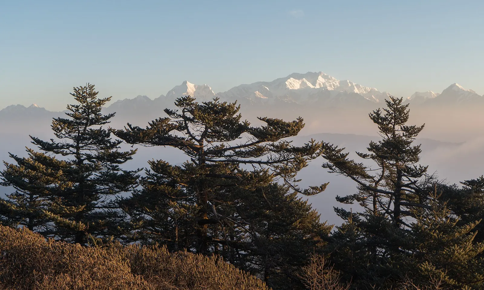
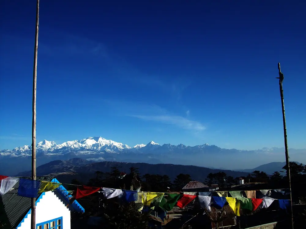
The Singalila Ridge runs from Maneybhanjang up to Sandakphu above Darjeeling. The race organisers say it is the only place where four of the world's five highest mountains can be seen at once: Everest, Lhotse, Makalu and Kanchenjunga. The Himalayan 100 Mile Stage Race has used the ridge for its course, and the trail is open to anyone with a park permit the rest of the season.
The route
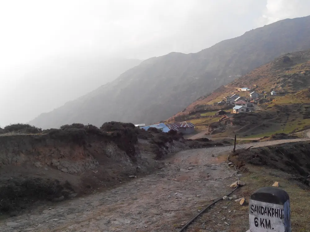
The stage race starts at Maneybhanjang, at 6,600 feet, and climbs 24 miles to Sandakphu at 11,815 feet on the first day, much of it on cobblestones. Day two is a 20 mile out and back to Molle. Day three is a marathon of 26.4 miles over Phalut, at 11,380 feet, down to Rimbik at 6,350 feet. The last two days, of 13 and 17 miles on rural roads, return to Maneybhanjang. Walkers usually take three days to cover the 32 km or so from Maneybhanjang to Sandakphu.
When to go
October and November give the clearest views of the peaks, and March to May brings the rhododendrons into flower. The 2026 stage race runs from 27 October to 3 November, with racing from 29 October to 2 November.
Getting there
Fly to Bagdogra; stage race runners are taken by bus to Mirik, about 1.5 hours away, the base for the first and last nights. The start at Maneybhanjang is reached by road from there.
Permits and booking
Entry to Singalila National Park is by permit, issued at the Maneybhanjang checkpoint. The stage race is sold as a package that includes guides, porters, meals and lodging on the ridge.
How hard it is
Very hard on the stage race: the first day rises more than 5,000 feet from start to finish. As a trail run it is a long, steady climb at altitude on rough stone.
Where to sleep
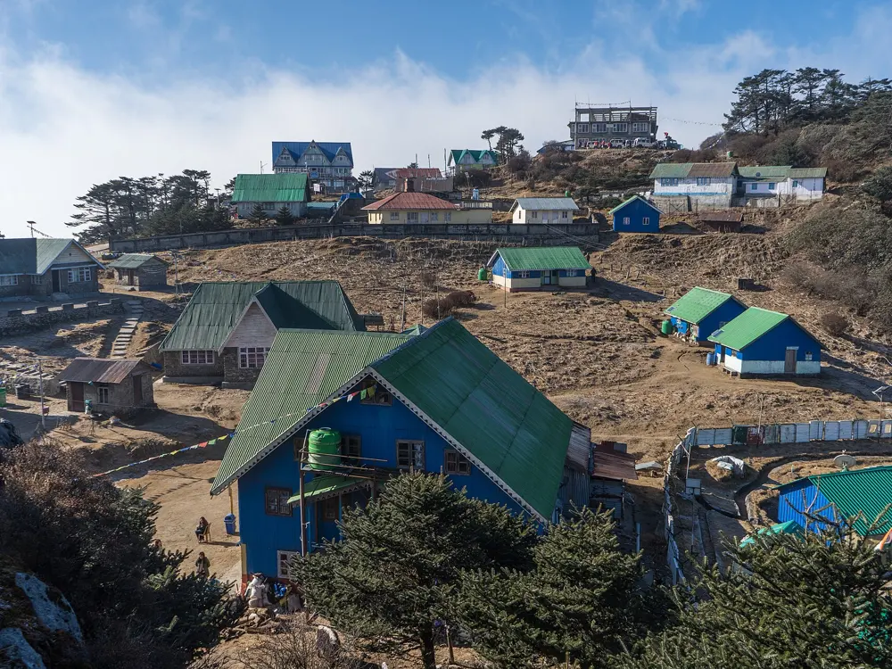
Sandakphu has a handful of tourist bungalows and lodges, without showers on the race; bring a sleeping bag. Rimbik has Nepalese lodges with some hot water.
Tips
A local guide is strongly recommended past Sandakphu toward Phalut, where the trail is hard to follow in cloud.
Be at Sandakphu for sunrise, when the peaks are clearest.
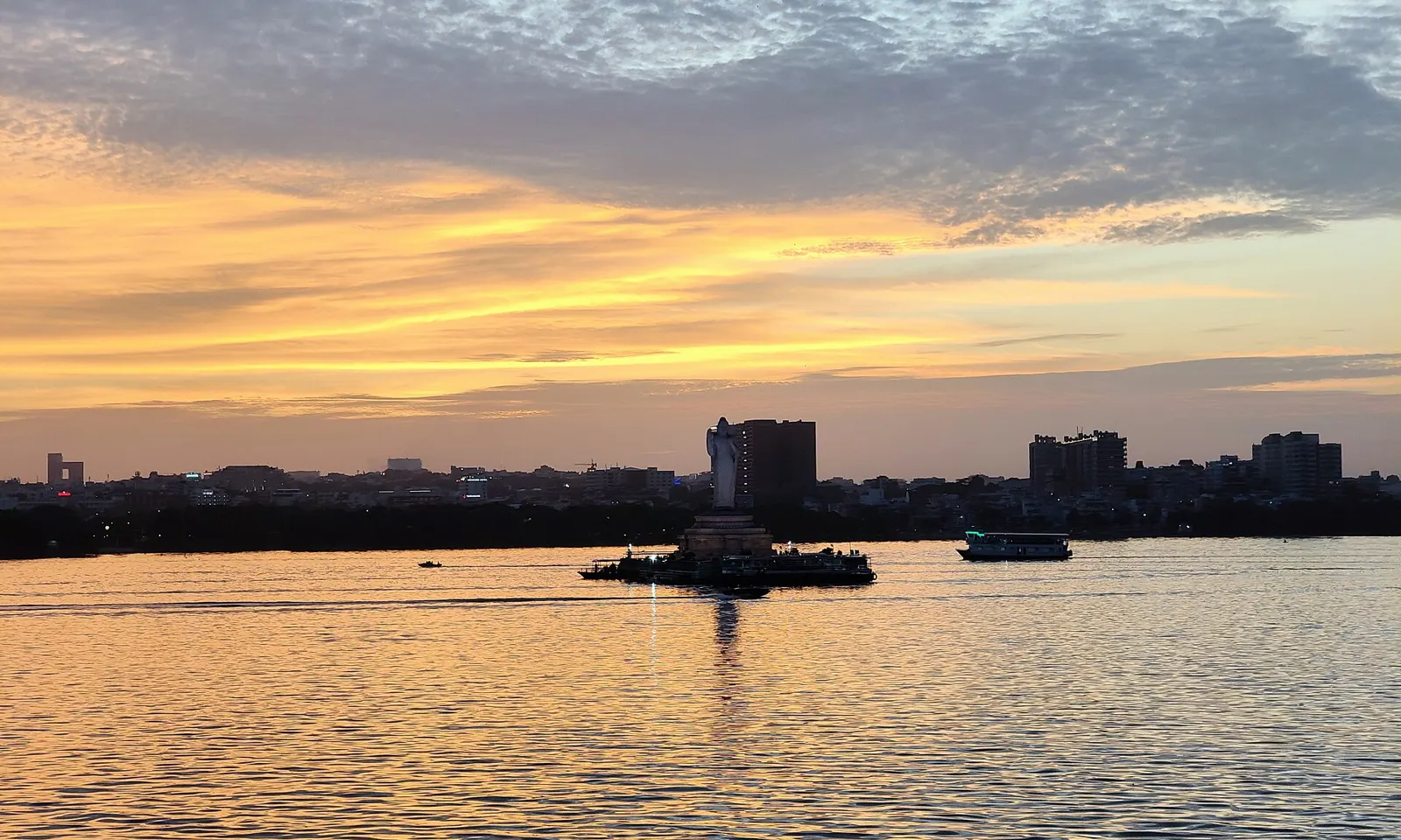
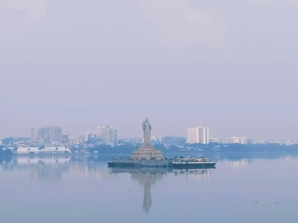
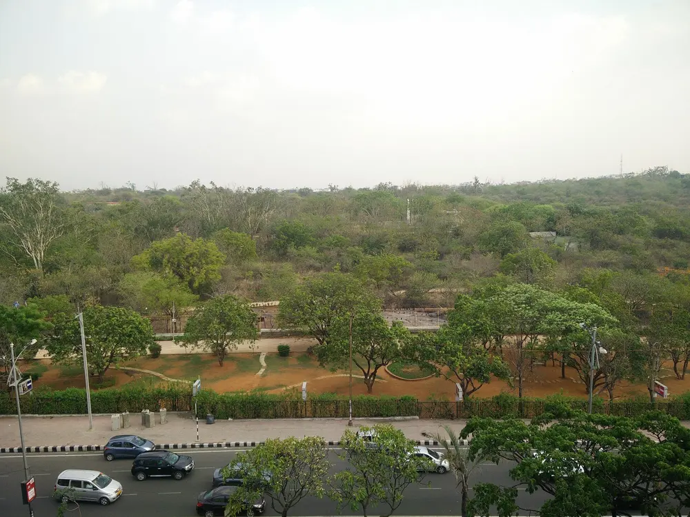
KBR Park, the national park in the middle of Banjara Hills and Jubilee Hills, is where Hyderabad's runners go for soft ground and shade, and Necklace Road around the Hussain Sagar lake is the city's waterfront run. The Hyderabad Marathon links the two worlds each August, starting by the lake and running out through Banjara Hills to the new city in the west, and it now draws an international elite field.
The route
The peripheral jogging track skirts the outer edge of KBR Park for 5 km, mostly on gravel, with about 33 metres of climb, and the nature trails inside add another 5 km. Durgam Cheruvu, about 2.5 km west, has a 4.4 km dirt track around its lake. Necklace Road runs along Hussain Sagar, and Great Runs also maps a 3.5 km dirt loop in the Botanical Garden and a 9.4 km loop at Osmania University. The marathon is point to point, from People's Plaza on Necklace Road through Banjara Hills and across the Durgam Cheruvu cable bridge to GMC Balayogi Stadium in Gachibowli.
When to go
Early morning, before the heat. The 2026 marathon was on Sunday 30 August; the full marathon started at 3:30 am and more than 30,000 people were expected across the 42.2 km, 21.1 km, 10K and 5K.
Getting there
The nearest metro station to KBR Park is Jubilee Hills Check Post, and the nearest bus stop is Annapurna. People's Plaza is on Necklace Road by the lake.
Permits and booking
KBR Park may charge a modest entry fee; check at the ticket counter. The marathon is entered through the organisers.
How hard it is
Easy to moderate. The park paths are gentle gravel; the marathon is a long point to point course with a very early start.
Where to sleep
Hotels in Banjara Hills and Jubilee Hills are close to KBR Park, and those by Hussain Sagar are near the marathon start.
Tips
Link KBR Park and Durgam Cheruvu by Road No. 46 for a longer run, though the road link is a bit awkward.
Run Necklace Road at sunrise for the light over the lake.
Sources
Distances, heights, seasons and permit rules were checked against these pages. Rules change, so check the park or trail authority before you go.