Rungs Labs

Rungs Pilgrimage · Running · Europe

The 10 Best Places to Run in Europe

Chamonix, Haute-Savoie, France. Photo: Tiia Monto (CC BY-SA 3.0)

Europe's running ranges from mountain villages under the highest peaks of the Alps to cities that hold some of the fastest marathons in the world. These ten take in Chamonix, Zermatt and Cortina in the mountains, Madeira in the Atlantic and Tromsø above the Arctic Circle, and the city runs of Berlin, Athens, Valencia, Copenhagen and Budapest, each with a big race to aim for.

For each place you get the classic runs, the big races and their dates, the best season, how to get there, entry rules and fees, how hard it is and where runners stay. Every fact comes from tourist boards, race organisers or the other pages linked at the bottom.

Updated 2026-10-18

  1. 01ChamonixHaute-Savoie, France
  2. 02Zermatt and the Matterhorn trailsValais, Switzerland
  3. 03Cortina d'Ampezzo and the Tre Cime di LavaredoDolomites, Veneto, Italy
  4. 04Madeira and the Madeira Island Ultra-TrailMadeira, Portugal
  5. 05Berlin: the Tiergarten, Tempelhofer Feld and the Berlin MarathonBerlin, Germany
  6. 06Athens: the Authentic Marathon, Philopappou and LycabettusAthens, Greece
  7. 07Tromsø and the Midnight Sun MarathonTroms, Norway
  8. 08Valencia: the Turia gardens and the Valencia MarathonValencia, Spain
  9. 09Copenhagen: the Lakes and the Copenhagen MarathonCopenhagen, Denmark
  10. 10Budapest: Margaret Island and the Budapest MarathonBudapest, Hungary
01 / 10

Chamonix

Haute-Savoie, France
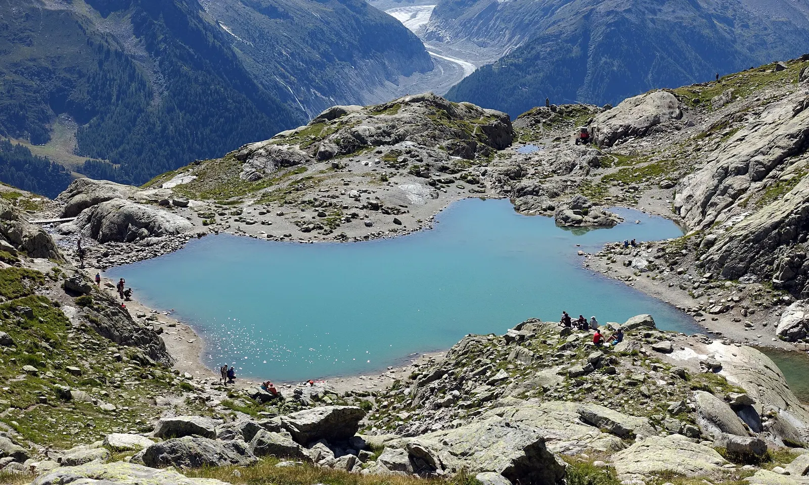
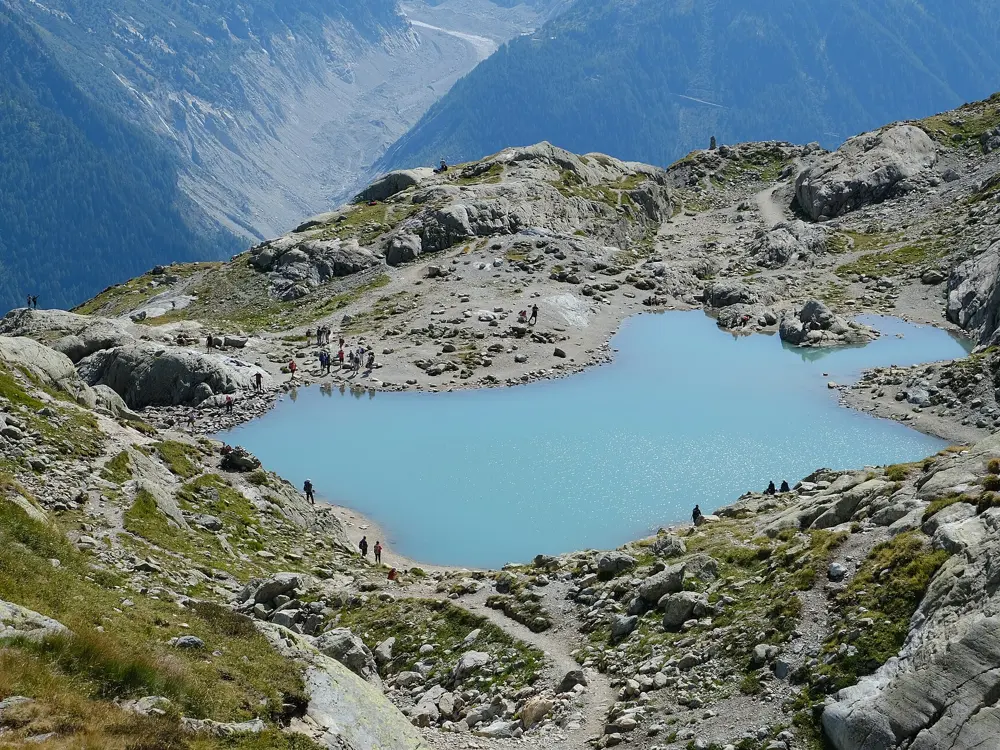
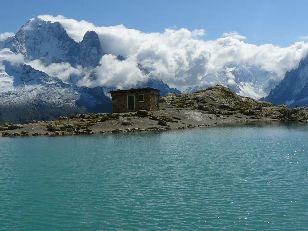
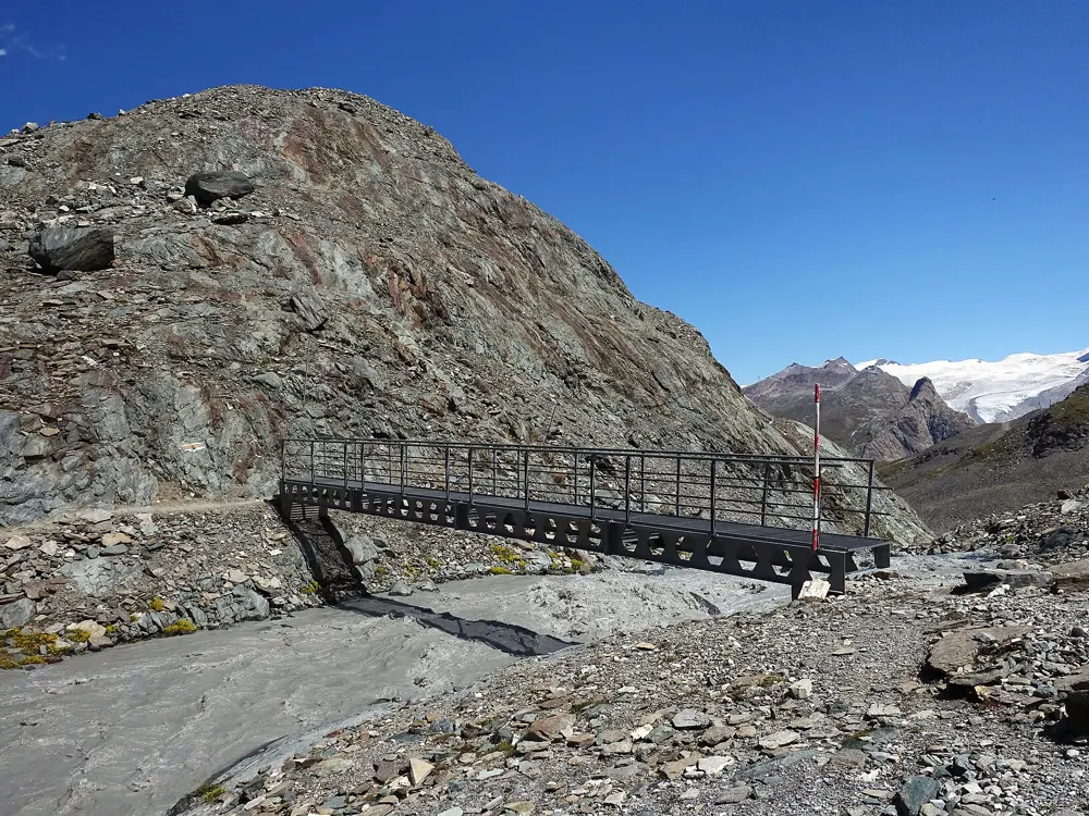
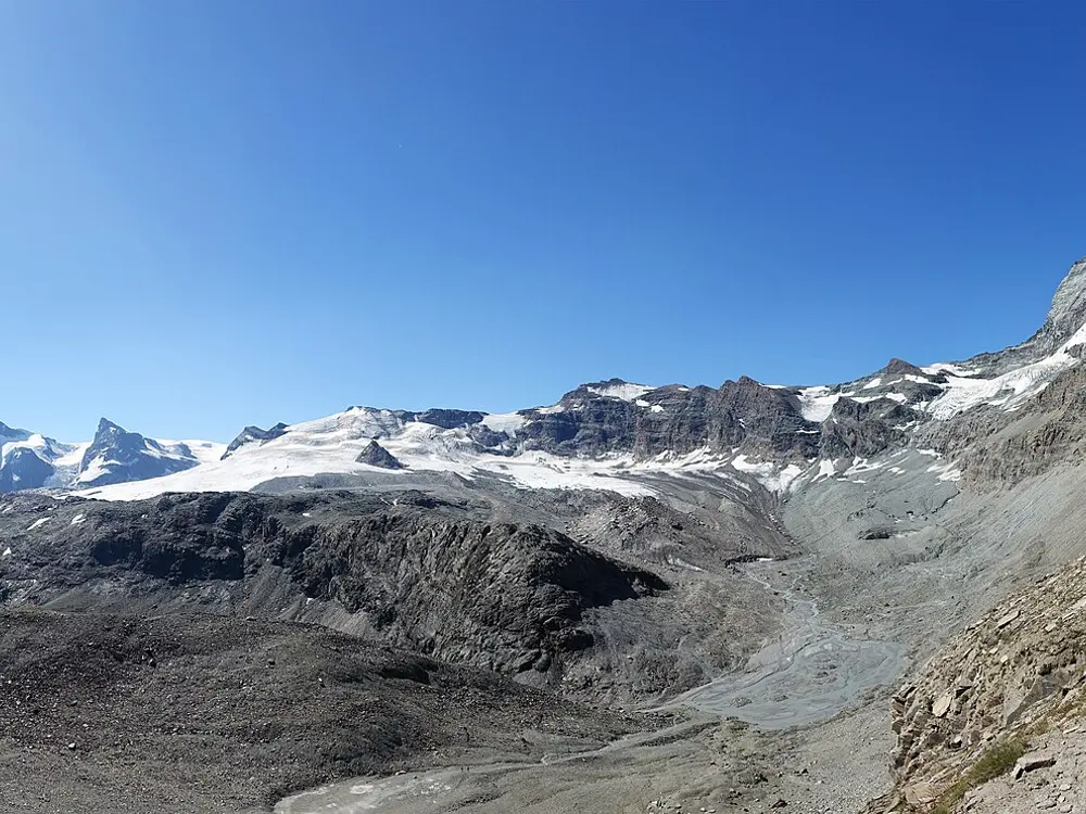
Lac Blanc among granite slabs above Chamonix, with a glacier and the Mont Blanc massif beyond

Photos: Tiia Monto (CC BY-SA 3.0), Guilhem Vellut from Annecy, France (CC BY 2.0), Mrvoyage (Public domain), Guilhem Vellut from Annecy, France (CC BY 2.0)

Distance
7 km, La Flégère to Lac Blanc and back
Climb
500 m from La Flégère
High point
2,352 m at Lac Blanc
Big race
UTMB, 174 km, usually late August

Why go

Chamonix sits at about 1,035 m under the Mont Blanc massif, and lifts climb straight out of town to balcony paths that run for kilometres above the valley, facing the glaciers. The Ultra-Trail du Mont-Blanc has been based here since 2003, and since 2023 the town has hosted the UTMB World Series finals, so for one week in late August more than 10,000 runners arrive. No other town in Europe has as much mountain running on its doorstep.

The route

The Grand Balcon Sud runs along the sunny side of the valley from Planpraz to La Flégère, mostly above the tree line over pasture, boulders and scree, facing Mont Blanc. From La Flégère, Lac Blanc is 7 km there and back with 500 m of climbing. Across the valley the Grand Balcon Nord runs 5.7 km from Plan de l'Aiguille, the Aiguille du Midi mid-station, to Montenvers above the Mer de Glace, with 523 m of descent.

When to go

The high season is short. In 2026 the tourist office listed the Lac Blanc trail from 1 July to 30 September and the Grand Balcon Nord from 15 June to 31 October, both subject to lifts and snow. The Marathon du Mont-Blanc returns from 24 to 27 June 2027, with registration expected to open between late October and early November 2026. UTMB week ran from 24 to 30 August in 2026; the 2027 dates had not been published by mid-October 2026, and the cycling world championships take over Haute-Savoie from 24 August to 5 September 2027, so the race may move.

Getting there

Geneva airport is 88 km away. Flixbus runs daily from the airport, or take the Léman Express to Saint-Gervais-les-Bains-Le Fayet and change to the Mont-Blanc Express. The guest card from your accommodation gives free train travel between Servoz and Vallorcine.

Permits and booking

No permit is needed to run. Lac Blanc lies in the Aiguilles Rouges nature reserve, where dogs are banned even on a lead, camping is prohibited and nobody may swim in Lac Blanc or the Lacs des Chéserys. UTMB entry needs a valid UTMB Index in the 100K or 100M category and at least one Running Stone, and places go by lottery in January. The 2026 fee was 479 euros.

How hard it is

Lifts do much of the climbing, but these are rocky mountain paths. The tourist office rates the Lac Blanc climb difficult for its gradient, and the steep shortcut down to Montenvers crosses gullies that are dangerous in snow. The full UTMB loop climbs 9,700 m through France, Italy and Switzerland, with a limit of 45 hours 30 minutes.

Where to sleep

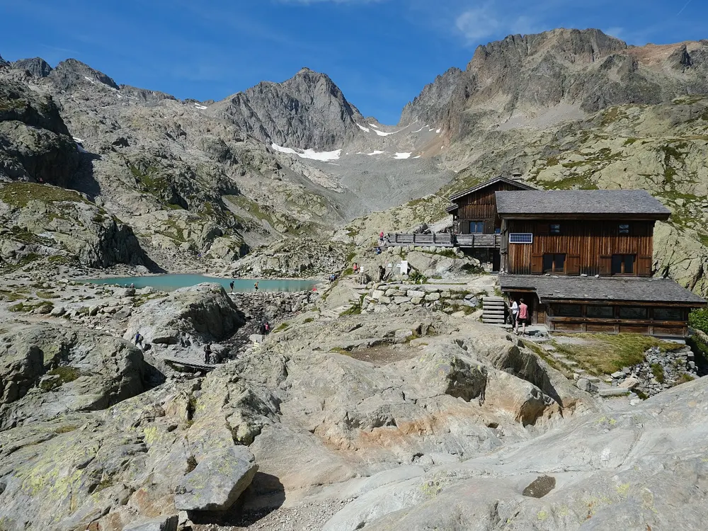
Chamonix town has the most beds. The Refuge du Lac Blanc, at the lake, opened from 3 June to 29 September 2026, half board and cash only.

Tips

  • Snowfields often linger on high paths in June. Ask the Office de Haute Montagne before going high and carry light crampons after a freeze.
  • Book beds and airport transfers early for UTMB week, when demand peaks.
02 / 10

Zermatt and the Matterhorn trails

Valais, Switzerland

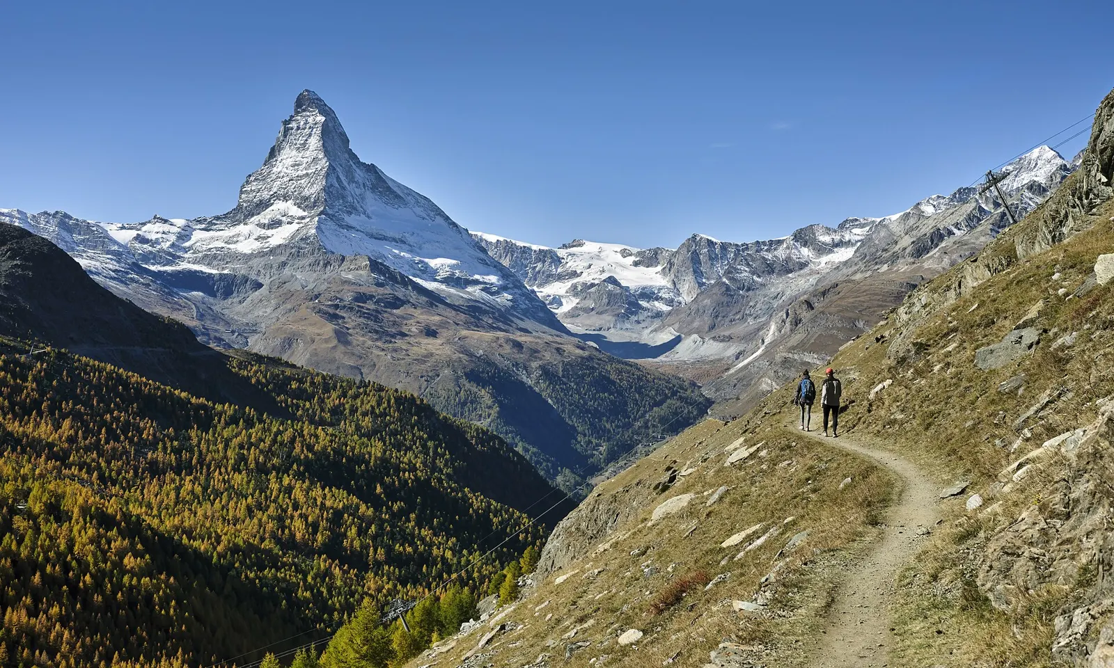
Two walkers on a trail above Zermatt in autumn, with larches below and the Matterhorn ahead

Photos: Roy Egloff (CC BY-SA 4.0), Tiia Monto (CC BY-SA 3.0), Tiia Monto (CC BY-SA 3.0), Tiia Monto (CC BY-SA 3.0)

Distance
20 km, Zermatt to the Trift hut, Zmutt and back
Climb
1,363 m on that loop
Big race
Gornergrat Zermatt Marathon, 2 to 3 July 2027
Village height
1,608 m

Why go

Zermatt is a car-free village at 1,608 m with the Matterhorn, 4,478 m, standing over the end of the valley. The trails leave from the main street and climb through larch forest to high pastures and old hamlets, and almost every turn brings the mountain back into view. The village holds two of the best-known mountain races in the Alps: the Gornergrat Zermatt Marathon in early July, which climbs from the valley floor to a finish above 2,500 m, and the Matterhorn Ultraks in late August.

The route

Switzerland Tourism's Trail Run Zermatt is a 20 km round trip with 1,363 m of climbing. It goes up a steep canyon to the Trift hut, traverses a long, flowing balcony facing the Matterhorn, drops through the 500-year-old wooden hamlet of Zmutt, then returns past grazing Valais blacknose sheep and through larch forest to the main street. The marathon starts lower down the valley in St. Niklaus, follows the Vispa to Zermatt at about halfway, then climbs to Sunnegga and Riffelalp and finishes at Riffelberg, 2,585 m. The organisers put the climb at 1,944 m. The ultra carries on to the Gornergrat at 3,089 m.

When to go

Switzerland Tourism gives July to September as the season for the Trift loop. The 2027 marathon weekend is 2 and 3 July, and registration was not yet open in October 2026; the 2026 race was limited to 2,222 places. The Matterhorn Ultraks ran on 21 to 23 August 2026 with every race sold out, and the organisers say the 2027 date will be announced soon.

Getting there

Cars can only go as far as Täsch, where the Matterhorn Terminal has 2,100 covered spaces. Shuttle trains leave every 20 minutes and reach the centre of Zermatt in 12 minutes. By train from elsewhere in Switzerland you usually change at Visp.

Permits and booking

No permit is needed to run the trails. Paths may be blocked or interrupted depending on season and weather, so check locally before heading high. Ultraks courses range from the 19 km Active with 1,150 m of climbing to the 49 km Sky with 3,600 m.

How hard it is

Hard. Switzerland Tourism rates the Trift loop difficult, with a steep canyon climb at the start and the same height to lose on the way down. The marathon is a road and trail race in which the second half is almost all uphill; its half marathon climbs 1,336 m from Zermatt to Riffelberg. Altitude makes everything slower than at home.

Where to sleep

Stay in Zermatt itself, since everything starts from the village. For the marathon, the start in St. Niklaus is reached by train down the valley.

Tips

  • The Trift hut makes a good stop after the canyon climb; Switzerland Tourism recommends its homemade iced tea.
  • Two simple fitness trails, the Vitaparcours in Zermatt (3 km) and between Täsch and Randa (2.5 km), suit a rest-day jog.
03 / 10

Cortina d'Ampezzo and the Tre Cime di Lavaredo

Dolomites, Veneto, Italy

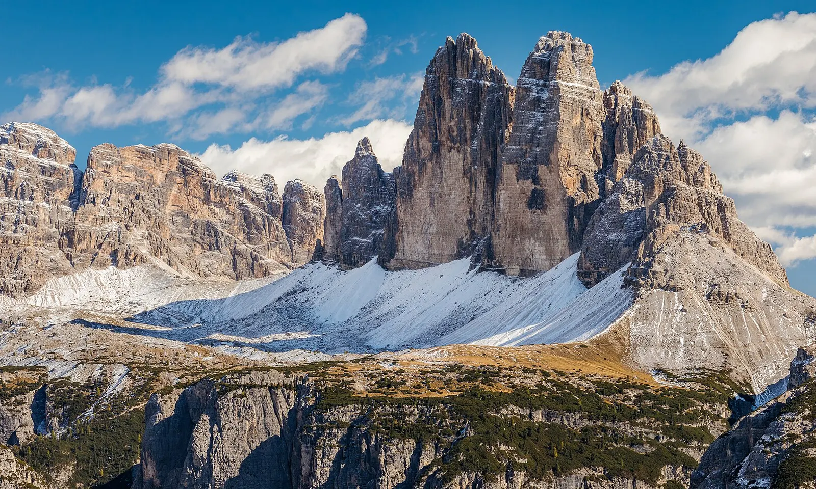
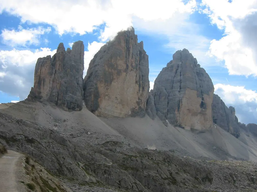
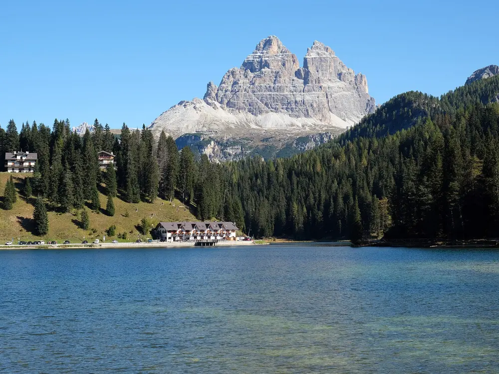
The three towers of the Tre Cime di Lavaredo above snow and scree, seen from Croda dei Toni

Photos: Ximonic (Simo Räsänen) (CC BY-SA 4.0), Original uploader was Fantasy at it.wikipedia (CC BY-SA 3.0), kallerna (CC BY-SA 4.0), kallerna (CC BY-SA 4.0)

Distance
About 10 km around the Tre Cime
Start height
2,333 m at Rifugio Auronzo
Big race
Lavaredo Ultra Trail, 23 to 27 June 2027
Valley run
7 km Pian de Ra Spines loop

Why go

Cortina sits in a wide bowl of Dolomite walls, and its running is split between gentle valley paths and high, rocky circuits under some of the most recognisable peaks in the Alps. The Lavaredo Ultra Trail, now part of the UTMB World Series, starts its 120 km race on Corso Italia at 11 pm so that runners reach the Tre Cime di Lavaredo at sunrise. The tourist board also lists the Cortina-Dobbiaco Run in June and the Delicious Trail Dolomiti in September.

The route

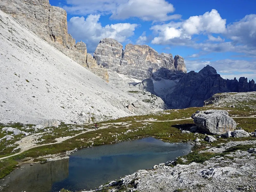
The loop around the Tre Cime is about 9.5 to 10 km and takes walkers three to four hours. It starts at Rifugio Auronzo, 2,333 m, passes Rifugio Lavaredo, 2,344 m, and reaches Rifugio Locatelli, 2,405 m, facing the north walls of the three towers, then curls back on stony paths. Lower down, the Lunga Via delle Dolomiti, a multi-use path of about 50 km between Cimabanche and Pieve di Cadore, passes through Cortina and gives long, steady running. At Fiames, 5 km north of town, the Pian de Ra Spines is a 7 km loop beside the Boite stream.

When to go

Summer is the high-route season. The toll road to Rifugio Auronzo opens roughly from late May to October, depending on snow. The 2027 Lavaredo Ultra Trail runs from 23 to 27 June: the 10K on the 23rd, the 20K on the 24th, the 50K and the 120K on the 25th and the 80K on the 26th. Great Runs notes the valley paths can be runnable in winter with grippers.

Getting there

Venice is the closest airport, a little under two hours away by bus or shuttle. FlixBus, Cortina Express and ATVO run from the airport. Cortina is about 72 km from Belluno and 44 km from the Austrian border. The 80K race starts in Val Marzon, Auronzo di Cadore.

Permits and booking

No permit is needed to run. Driving to Rifugio Auronzo needs an online booking with your number plate and a time slot, paid before arrival and generally valid for about 12 hours. In 2026 it cost 40 euros for a car and 26 euros for a motorbike. By October 2026, entries for the 2027 Lavaredo races had closed except for the 10K; the organisers take email sign-ups for any extra places released after a sellout. The 20K to 120K races give 1 to 4 UTMB Running Stones.

How hard it is

The Tre Cime loop is rated easy to moderate, but it is all above 2,300 m on rough ground. The valley loops are flat. The Lavaredo races are serious: 120 km with 5,800 m of climbing and a 30 hour limit, 80 km with 4,600 m in 22 hours, and even the 20K packs 1,000 m into steep climbs and technical descents.

Where to sleep

Cortina has the most choice and is the start and finish of every Lavaredo race but the 80K. The huts on the Tre Cime loop, Auronzo, Lavaredo and Locatelli, are the natural stops on the high circuit.

Tips

  • Run the Tre Cime loop early, before the day's toll-road traffic arrives.
  • Sign up for the Lavaredo emails, which announce entry dates and any extra places released after a sellout.
04 / 10

Madeira and the Madeira Island Ultra-Trail

Madeira, Portugal

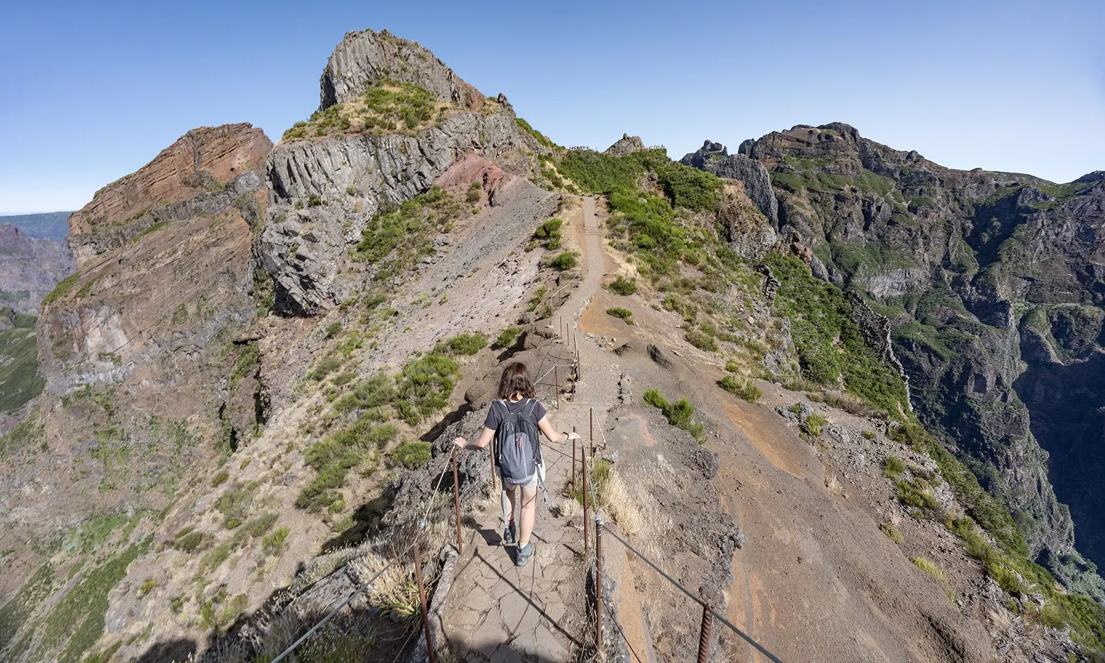
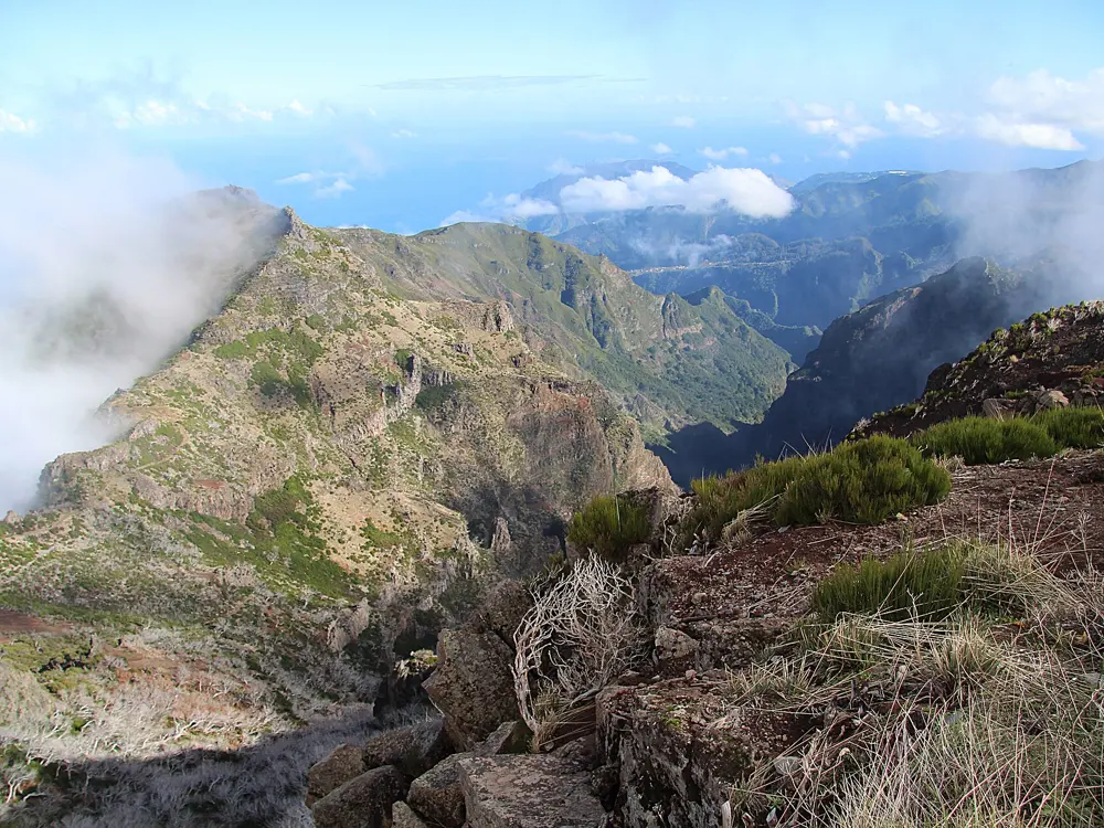
A hiker on the narrow PR1 ridge path from Pico do Areeiro, with jagged peaks ahead

Photos: Krzysztof Popławski (CC BY 4.0), antony_hap (CC BY-SA 4.0), GerritR (CC BY-SA 4.0), H. Zell (CC BY-SA 3.0)

Distance
7 km, Pico do Areeiro to Pico Ruivo
High point
1,862 m, Pico Ruivo
Big race
MIUT, 24 and 25 April 2027
Trail fee
4.50 euros; 10.50 euros for the PR1

Why go

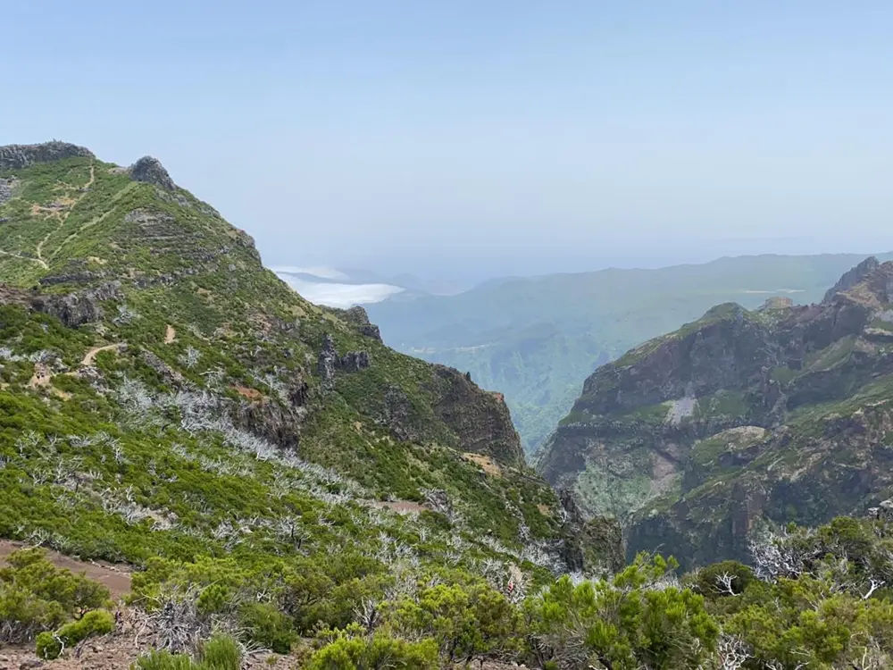
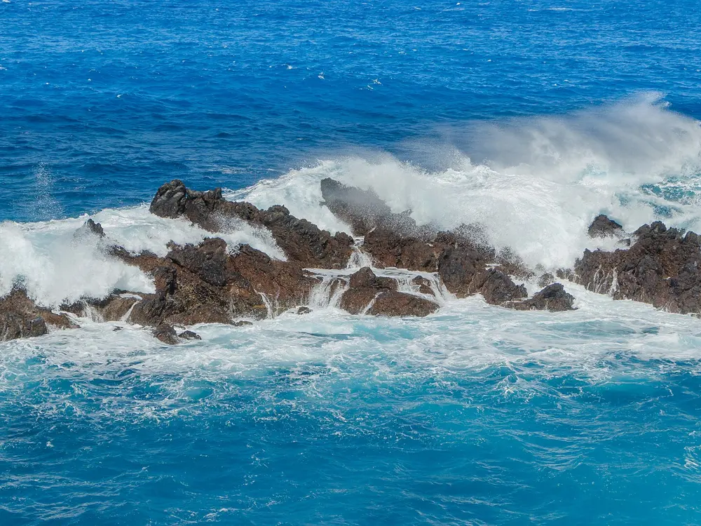
Madeira is a steep volcanic island in the Atlantic whose mountain paths and levadas, narrow irrigation channels with paths beside them, make it one of Europe's great trail running destinations. The Madeira Island Ultra-Trail crosses it from coast to coast every April, and the PR1 ridge between its highest peaks, closed since a wildfire in 2024, was set to reopen in April 2026 under new booking rules.

The route

The PR1 Vereda do Areeiro runs about 7 km from Pico do Areeiro, 1,818 m, past Pico das Torres, 1,851 m, to Pico Ruivo, 1,862 m, on stone steps and ridge paths; walkers take about three and a half hours. For gentler running, the levadas are close to flat: the PR 9.1, the first stretch of the Levada do Caldeirão Verde from Queimadas Park, is 1.9 km at around 870 to 890 m. The MIUT Legend race runs 110 km from Porto Moniz in the northwest to Machico in the east with 7,200 m of climbing, over Pico Ruivo. Shorter races start in São Vicente (80 km, 4,800 m) and Boaventura (56 km, 2,800 m), with a 40 km marathon and a 17 km race as well.

When to go

The trails are open all year, but the weather in the mountains changes quickly. The 2027 MIUT is on 24 and 25 April, with the Legend starting at 11:59 pm on Friday 23 April. Registration opened from 12 to 16 October 2026 and the first phase sold out.

Getting there

Madeira Airport is at Santa Cruz, about 16 km east of Funchal and close to the MIUT finish in Machico. Pico do Areeiro is reached by road from Funchal.

Permits and booking

Every classified trail (PR) needs a booking on the SIMplifica portal, with an account, the trail code, a date and a 30 minute entry slot. Visitors over 12 pay 4.50 euros a trail. On the PR1, the out-and-back stretch to the Pedra Rija viewpoint at km 1.2 costs 4.50 euros, and the one-way crossing from Pedra Rija to Pico Ruivo costs 10.50 euros. Combined passes cost 9 euros a day, 22.50 euros for three days or 52.50 euros for seven. Residents are exempt from payment but must register. Hiking a classified trail without a booking can be fined.

How hard it is

Hard in the mountains: steep steps, exposed ridges and fast-changing weather. The levadas are easy underfoot. For 2026, entry to the MIUT Legend required 4 ITRA points.

Where to sleep

Funchal has the most beds and the easiest drive to Pico do Areeiro. For the race, Machico is the finish town and Porto Moniz the Legend start.

Tips

  • Book your SIMplifica slot early for popular trails, keep a digital copy of the confirmation, and check the trail's status on Visit Madeira before you set out.
  • Carry layers, rain protection and water on the high routes, and dial 112 in an emergency.
05 / 10

Berlin: the Tiergarten, Tempelhofer Feld and the Berlin Marathon

Berlin, Germany

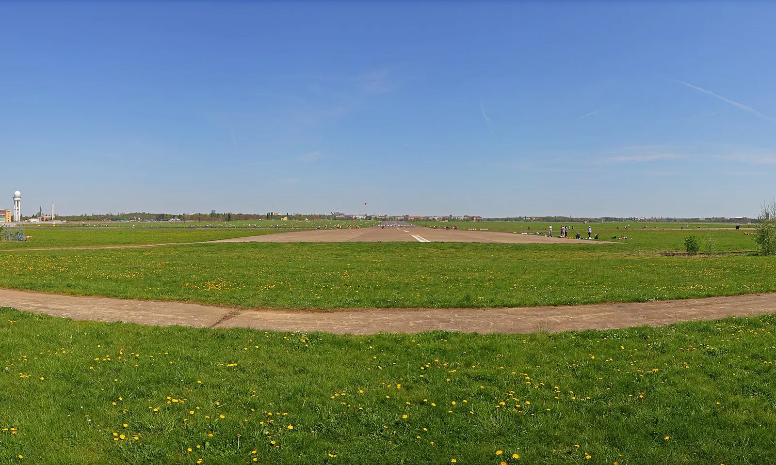
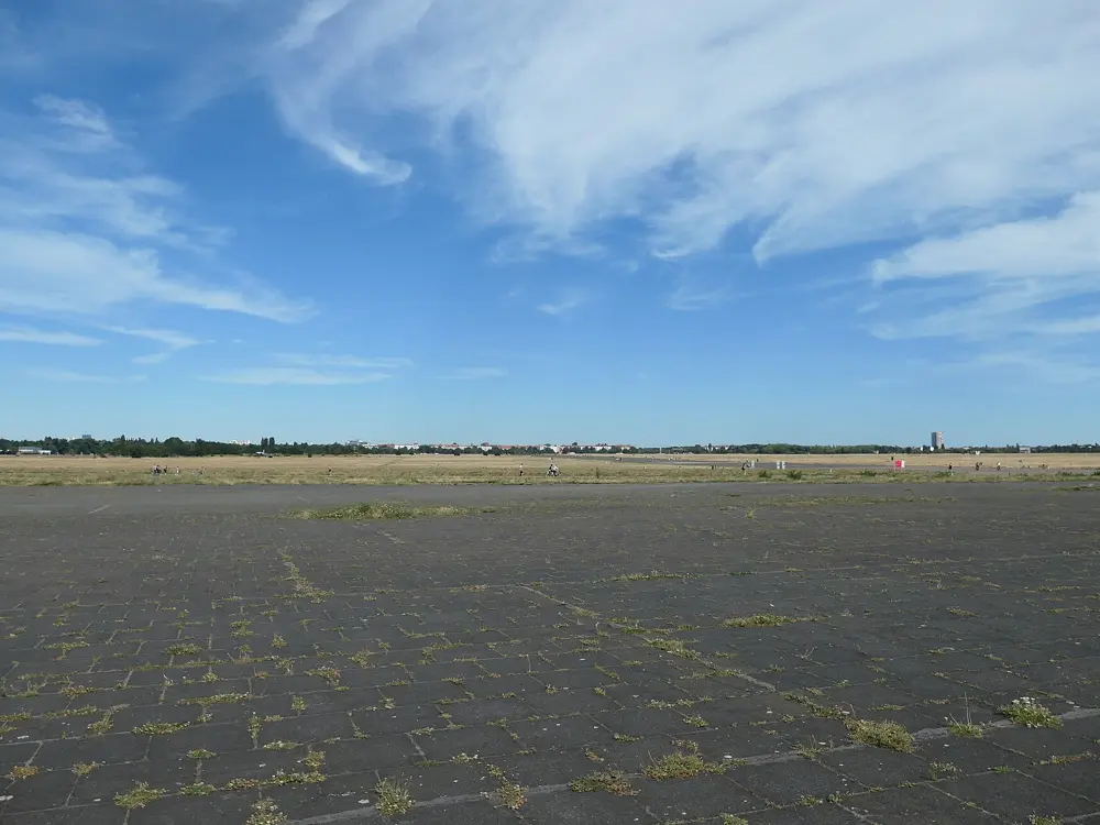
The open grass and old runway of Tempelhofer Feld in spring under a clear sky

Photos: A.Savin (CC BY-SA 3.0), Bahnfrend (CC BY-SA 4.0), Lukas Beck (CC BY-SA 4.0), Karlunun (CC BY-SA 4.0)

Distance
6 km paved loop of Tempelhofer Feld
Tiergarten
23 km of mostly gravel paths
Big race
Berlin Marathon, 26 September 2027
Marathon world records
13 set on the course

Why go

Berlin is flat, green and good for running, and its marathon is famous for speed: the marathon world record has been broken there 13 times, most recently by Eliud Kipchoge in 2:01:09 in 2022. In 2026 Tigst Assefa set a women's course record of 2:11:04. The city's everyday runs are just as good, from the old airfield at Tempelhof to the lakes and forest of the Grunewald.

The route

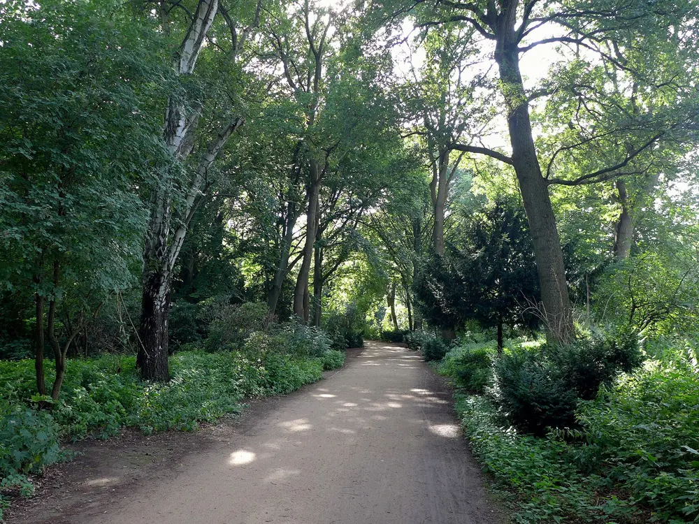
The Tiergarten, the big central park, has 23 km of mostly gravel trails; the southern loop below the Strasse des 17. Juni is about 5 km with one road crossing. Tempelhofer Feld, the former airport, has a paved perimeter of 6 km marked every 500 m, and its two runways are 2 km each. For hills, head to the Grunewald, about 150 km of forest trails, where the Teufelsberg, a 120 m rubble hill, is the only real climb in the city. The Schlachtensee loop there is 5 km. The marathon starts and finishes near the Brandenburg Gate and loops through the boroughs, around the Tiergarten, through Friedrichshain, Kreuzberg, Schöneberg and Zehlendorf, before returning through the Gate.

When to go

April to June and September to October are best, at about 10 to 22°C. Summer runs 20 to 30°C with sunrise before 5 am; winter is about 0 to 5°C with short days and some ice. The 2027 marathon is on Sunday 26 September, the first under the new title sponsor Generali.

Getting there

From Berlin Brandenburg Airport the FEX express reaches Potsdamer Platz, beside the Tiergarten, in 19 minutes and the Hauptbahnhof in 23, up to four times an hour. Tempelhofer Feld's main entrance is on Tempelhofer Damm, with others at Oderstrasse, near U8 Leinestrasse and Boddinstrasse, and at Columbiadamm on bus 104. Schlachtensee S-Bahn station serves the lake loop.

Permits and booking

The parks are free. Tempelhofer Feld opens with the light: from 6 am to 11 pm in June and July, and from 7:30 am to 5 pm in December and January; the entrances close at the end of opening hours. The marathon lottery for 2027 is open from 1 October to 12 November 2026, with results by email on 3 December; entering the draw is free and the fee for successful runners is 215 euros. Walkers may enter if they finish within 6 hours 15 minutes, but Nordic walking is not allowed.

How hard it is

Easy. Almost everything is flat. The Teufelsberg and Grunewald trails give the only sustained climbing.

Where to sleep

Stay in Mitte or Tiergarten to run the park from your door, or in Neukölln or Kreuzberg for Tempelhofer Feld.

Tips

  • Tempelhofer Feld has had a Saturday parkrun since 2026, Berlin's second after Volkspark Hasenheide.
  • The adidas Runners run free group sessions from their base in Mitte several times a week.
06 / 10

Athens: the Authentic Marathon, Philopappou and Lycabettus

Athens, Greece

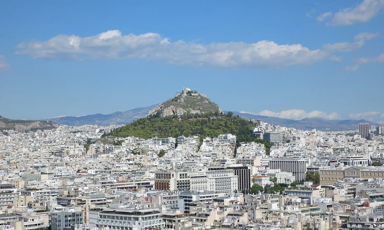
Lycabettus Hill rising above the white apartment blocks of central Athens

Photos: Berthold Werner (CC BY-SA 3.0), kallerna (CC BY-SA 4.0), Ανώνυμος Βικιπαιδιστής (CC BY-SA 3.0), Ggia (CC BY-SA 3.0)

Distance
42.195 km, Marathon to the Panathenaic Stadium
Next race
8 November 2026
Lycabettus loop
About 3.3 km
Stadium track
500 m, open to runners 7:30 to 9 am

Why go

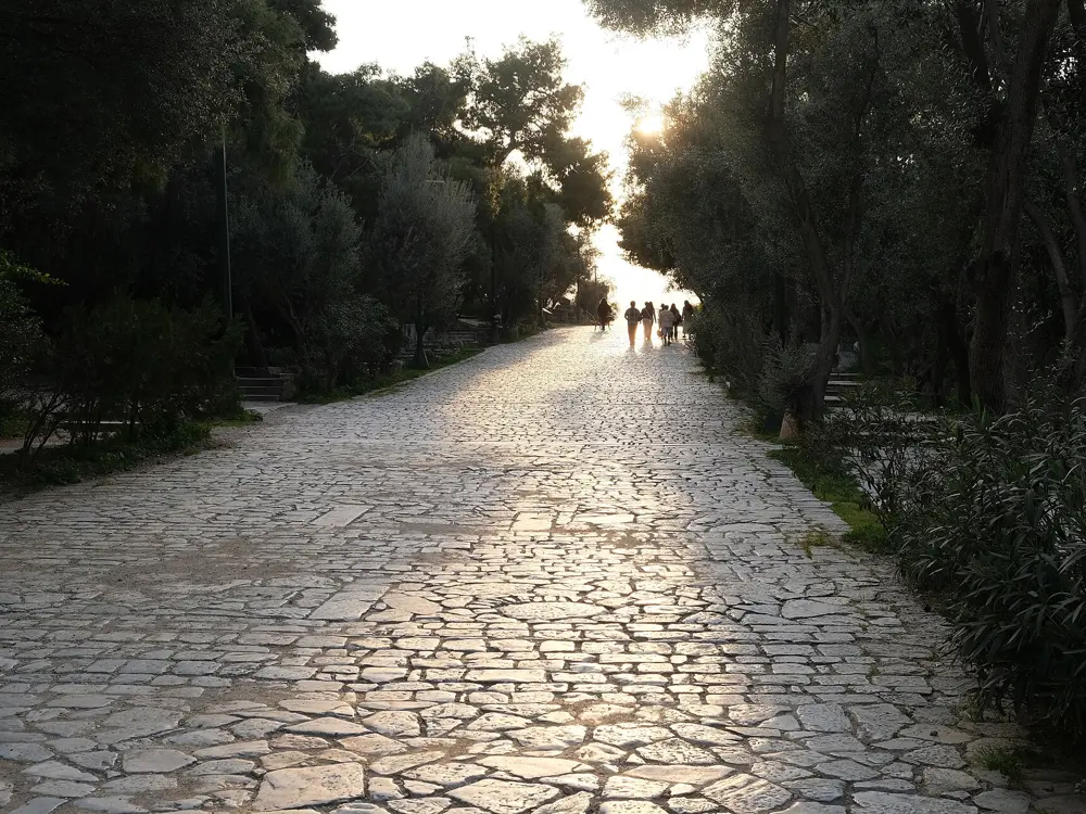
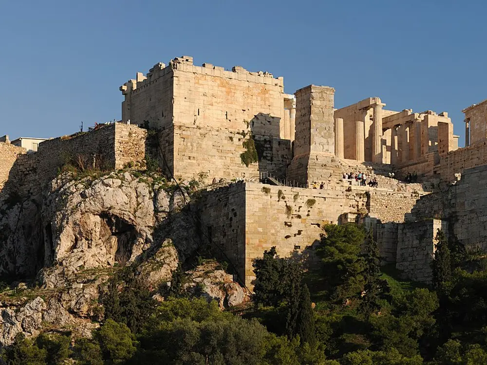
The marathon was born here, and the Athens Authentic Marathon still follows the road from the town of Marathon, about 40 km northeast of the city, to a finish inside the marble Panathenaic Stadium, the Kallimarmaro. Away from race day, Athens has short, hilly runs among the ancient monuments, on pine-covered hills with the Acropolis in view.

The route

The marathon is point to point. Its first 10 km are flat, then the road climbs almost without a break to about km 31, near Gerakas and Stavros, at around 245 m, before the last 11 km run downhill into the centre. In the city, Runner Magazine's historic centre loop is 5 km on paved, mostly traffic-free paths around the Acropolis and Philopappou hills; on Philopappou, This is Athens suggests turning into the trees before the church of St Demetrius and running past the old quarry to the observatory. The perimeter of Lycabettus is about 3,330 m with 44 m of height change, though it uses roads with traffic. The Panathenaic Stadium's horseshoe track is 500 m, and a separate 500 m track behind the stadium, through a green gate on Archimidous Street, is free.

When to go

Autumn and winter suit running here. The 43rd marathon is on 8 November 2026: the marathon starts at 8:30 am and the 10K at 8 am, with 5K races the evening before. Fat Marathoner gives 10 to 14°C at the start and 15 to 17°C mid-race. Philopappou is quietest in winter.

Getting there

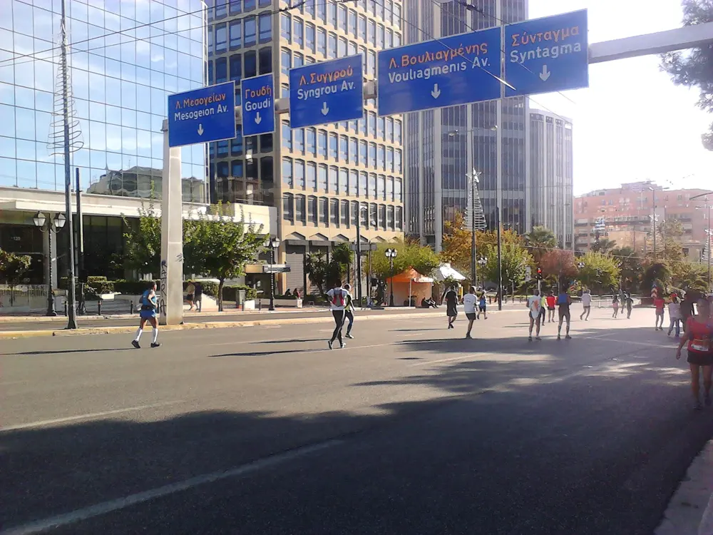
Acropolis metro station serves the historic centre loop, and the stadium is a short run from Syntagma through the National Garden. On race day, organised buses for bib holders leave central metro stations early in the morning for the start in Marathon; driving is discouraged because of road closures.

Permits and booking

Running inside the Panathenaic Stadium is allowed only from 7:30 to 9 am, after signing a safety form at the entrance. The free track behind the stadium is quiet in the mornings and can be crowded in the afternoons. The National Garden closes at sunset, and a whistle warns that the gates are about to shut. The 2026 marathon sold out; the cap is 25,000 runners, with about 75,000 across all races, and the time limit is 8 hours.

How hard it is

The marathon is a hard course for a city race because of the long climb. City runs are short but hilly, on paving, marble and dirt.

Where to sleep

Stay near Syntagma or Pangrati for the stadium and the National Garden, or in Koukaki and Makrygianni, at the foot of the Acropolis and Philopappou hills.

Tips

  • Philopappou has no water fountains, so carry water.
  • Leave earphones out in the National Garden so you hear the closing whistle.
  • The Great Runs runseeing tour links the National Garden, the stadium, the Acropolis and Philopappou in about 10 km.
07 / 10

Tromsø and the Midnight Sun Marathon

Troms, Norway

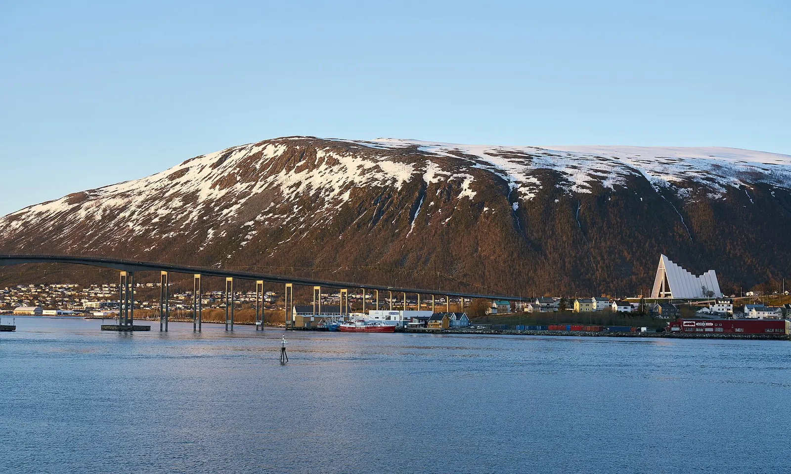
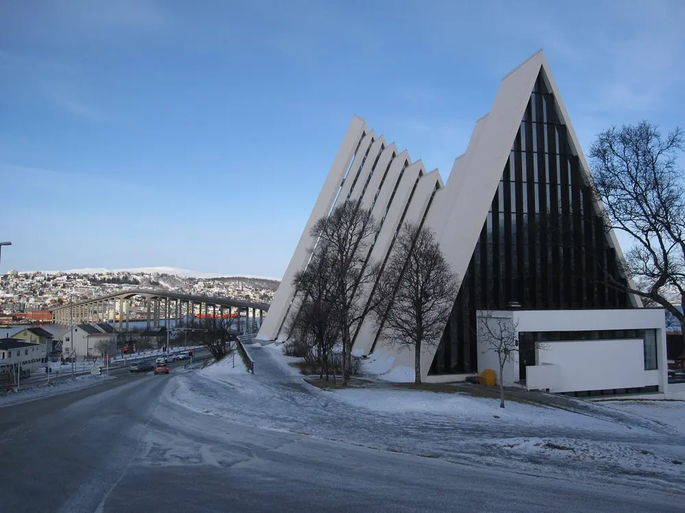
The Tromsø Bridge and the white Arctic Cathedral below the snow-streaked Tromsdalstinden

Photos: Virtual-Pano (CC BY-SA 4.0), Happy Discover (CC BY-SA 4.0), Bernt Rostad from Oslo, Norway (CC BY 2.0), Brian Marshall (CC BY 2.0)

Distance
42.195 km Midnight Sun Marathon
Next race
19 June 2027, 8:30 pm start
Sherpa Steps
1,203 stone steps
Field
About 9,000 runners from 97 nations in 2026

Why go

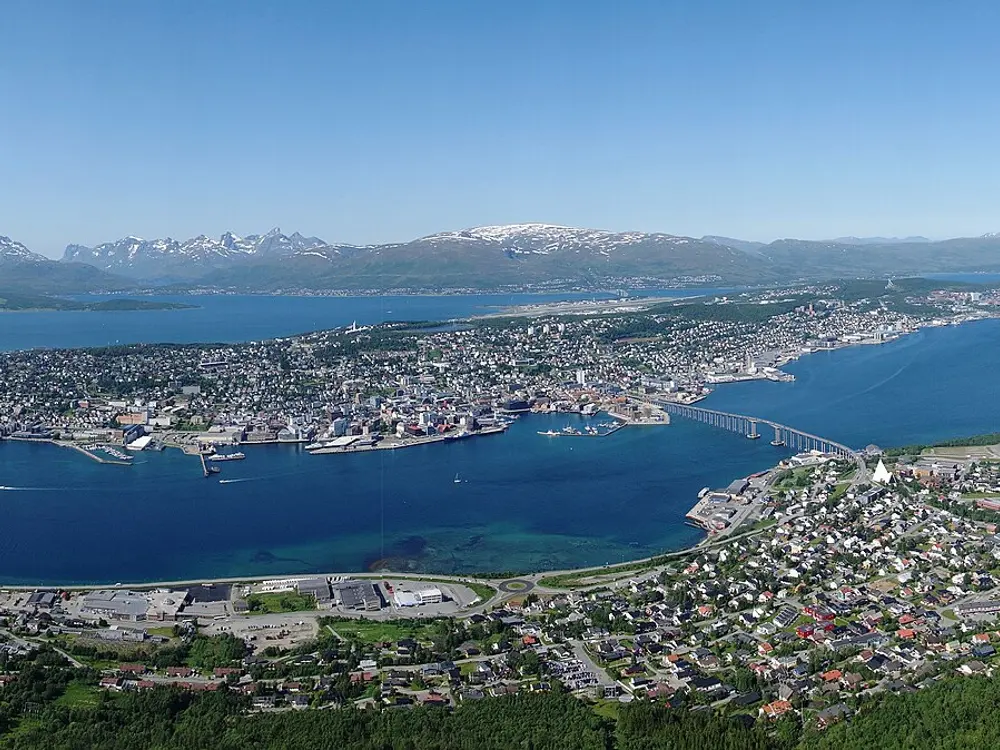
Tromsø lies far north of the Arctic Circle, and from about 20 May to 22 July the sun does not set. The Midnight Sun Marathon makes the most of it with an evening start, so the race runs on through the bright night. In winter the same town holds the Polar Night Marathon in the dark. Above the city, the Sherpa Steps climb straight from the shore to a viewpoint over the fjord and the island.

The route

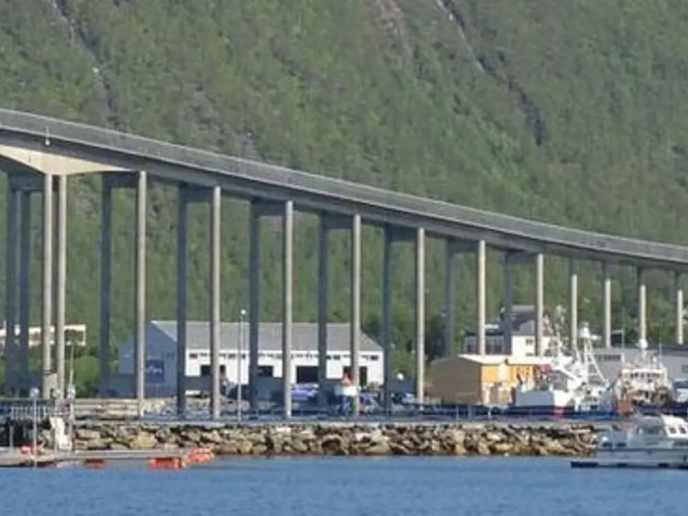
The marathon is an out-and-back course on closed roads, measured by AIMS. It starts at Prostneset in the centre, crosses the Tromsø Bridge to Tromsdalen and the Arctic Cathedral at about km 2, and comes back over it at about km 20. The bridge rises from about 6 m to 43 m above the sea, and the whole course climbs about 283 m. The finish is on Storgata by Kirkeparken. On the mainland side, the Sherpa Steps, a staircase of 1,203 stone steps built over three years by Sherpas from the Khumbu region of Nepal and finished in 2019, climb from the top of Fløyvegen near the Arctic Cathedral to the Storsteinen viewpoint and the cable car's upper station.

When to go

June and July for the midnight sun. The 2027 Midnight Sun Marathon is on Saturday 19 June, with a marathon, half marathon, 10 km, a 4.2 km mini marathon and a kids' race; Fat Marathoner gives typical start temperatures of 10 to 12°C. The Polar Night Marathon, from 5 km to the full distance, is on 9 January 2027, in the polar night that lasts from about 27 November to 15 January.

Getting there

Tromsø Airport is about 5 km from the city. Walking from the centre to the Sherpa Steps across the bridge takes about 45 minutes, or take bus 20, 24 or 28 to the Arctic Cathedral and walk 10 minutes, following the green signs.

Permits and booking

No permit is needed. The Sherpa Steps are best in the snow-free season; when they are covered in snow or ice, use the cable car instead. Norway's open-fire ban applies from 15 April to 15 September. In the marathon, runners must pass Stortorget, about 10 km from the end, by 12:45 am, and the finish closes at 2 am, a limit of 5 hours 30 minutes.

How hard it is

The marathon is moderate: mostly flat with two bridge climbs, often in wind. The Sherpa Steps are steep and demanding; Visit Norway suggests allowing 40 to 60 minutes to the top.

Where to sleep

Stay in the centre on Tromsøya island, close to the marathon start and finish.

Tips

  • After dark, carry a head torch on the Sherpa Steps: Visit Norway says a phone light is not enough.
  • Pack layers even in June; mountain temperatures can be much lower than in town.
08 / 10

Valencia: the Turia gardens and the Valencia Marathon

Valencia, Spain

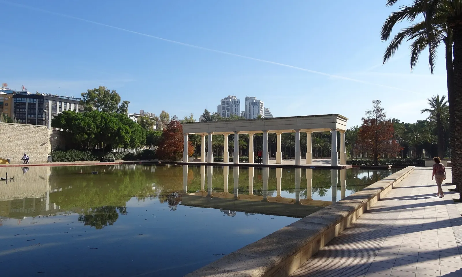
A pool, colonnade and palms in the Jardín del Turia under a clear blue sky

Photos: Sjaak Kempe from Groningen, The Netherlands (CC BY 2.0), Dorieo (CC BY-SA 4.0), Elemaki, modifications by Alvaro qc (CC BY-SA 3.0), ChiralJon (CC BY 2.0)

Distance
9 km through the Turia gardens, one way
Running circuit
5,731 m
Big race
Valencia Marathon, 6 December 2026
Best months
October to May

Why go

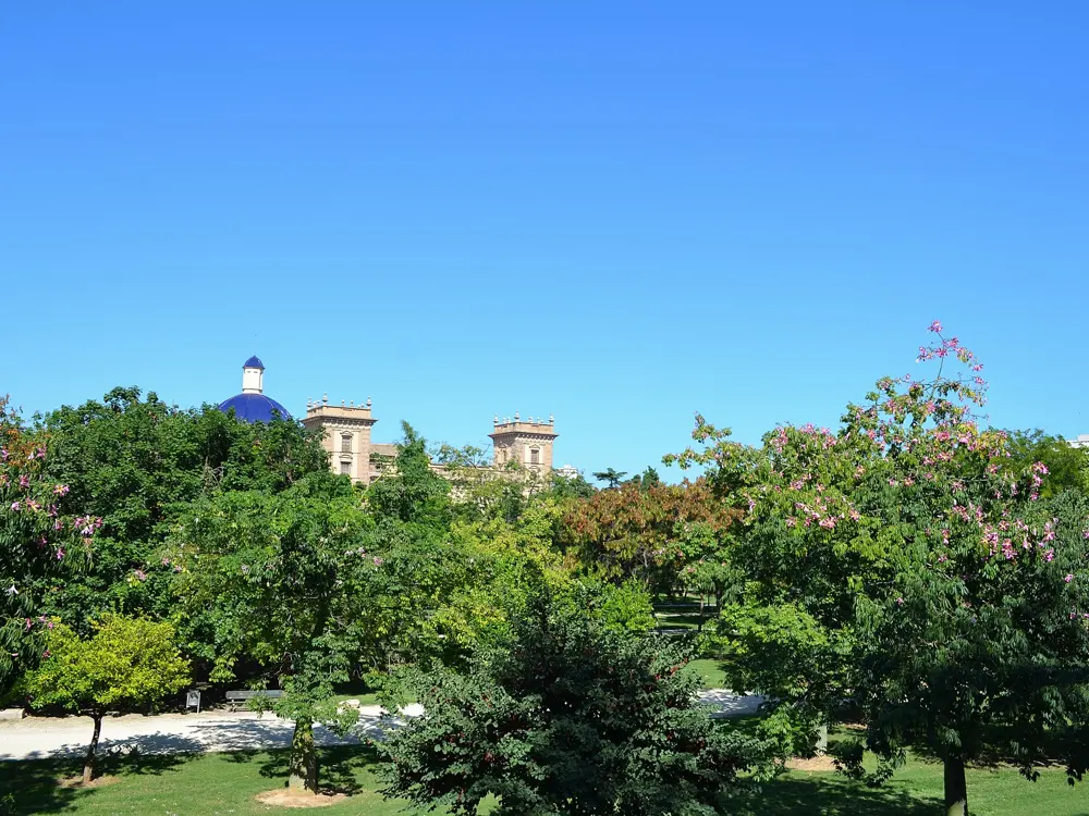
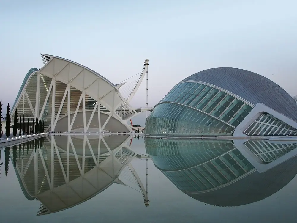
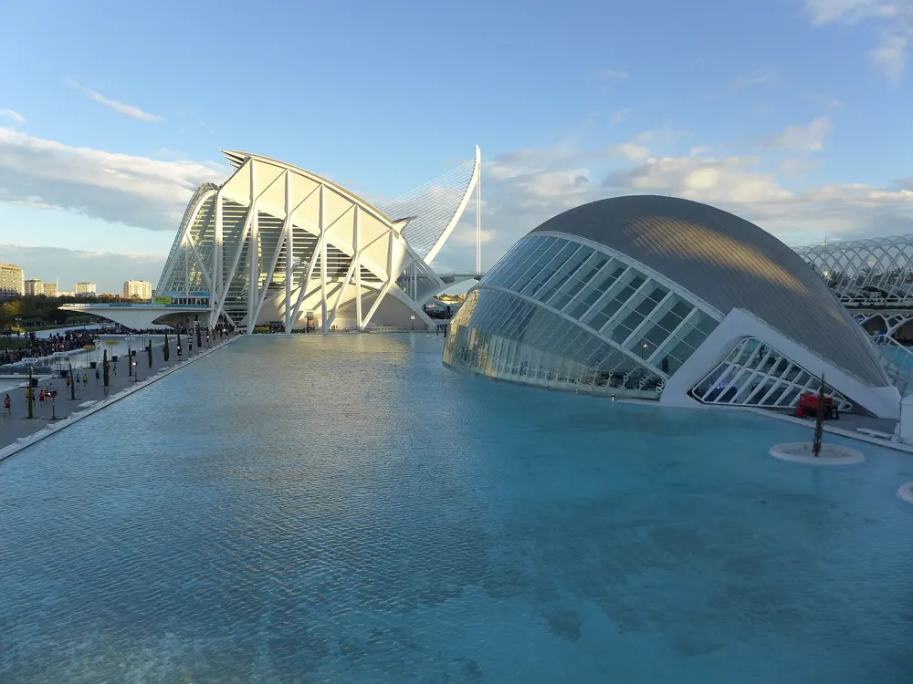
The Jardín del Turia, a park laid along the old bed of the river, is one of the best city runs in Europe: a flat, green corridor free of traffic crossings, running under the city's historic bridges. The city's December marathon is built for fast times, on a flat course at sea level that starts and finishes at the City of Arts and Sciences; Kelvin Kiptum ran 2:01:53 there in 2022 on his debut. In 2025 Joyciline Jepkosgei set the women's course record of 2:14:00, and more than 5,500 runners broke three hours.

The route

The Jardín del Turia runs about 9 km from the Bioparc to the City of Arts and Sciences, on compacted earth and asphalt, with fountains, toilets and stretching areas along the way; there and back makes 18 km. Within it, the marked running circuit is 5,731 m, and in July 2025 the city approved a new section of about 2,100 m eastwards from the Ángel Custodio bridge. The beach promenade at Malvarrosa adds 4 km from the port to La Patacona, and joined to the Turia it makes a circuit of more than 14 km. South of the city, El Saler offers 6 to 12 km on compacted sand and paths through the Devesa woods.

When to go

October to May. The annual average is about 18°C; winter runs 8 to 15°C and spring 14 to 24°C. July and August often pass 30°C with humidity, so run between 6:30 and 8 am or after 8 pm. Rain is rare but heavy, mostly in September and October. The 2026 marathon is on Sunday 6 December, starting at 8:15 am, with December temperatures of about 12 to 17°C; the half marathon is on 25 October 2026.

Getting there

The Turia can be reached from almost every part of the city, and the City of Arts and Sciences, at its eastern end, is the start and finish of the marathon.

Permits and booking

The gardens and the beach are free. The 2026 marathon sold all 36,000 places, partly by lottery; a waiting list remains open in case places come free. The course closes at 3:15 pm, seven hours after the start.

How hard it is

Easy. The whole city is flat. Summer heat is the main challenge, and the sea breeze on the promenade takes 3 to 5 degrees off.

Where to sleep

Stay near the Turia, anywhere from the Jardines del Real to the City of Arts and Sciences, so the park is your daily run.

Tips

  • The bridges over the Turia make easy landmarks and give some shade.
  • Enter the marathon lottery early: in 2026 more than 57,000 people applied for about 20,700 places.
09 / 10

Copenhagen: the Lakes and the Copenhagen Marathon

Copenhagen, Denmark

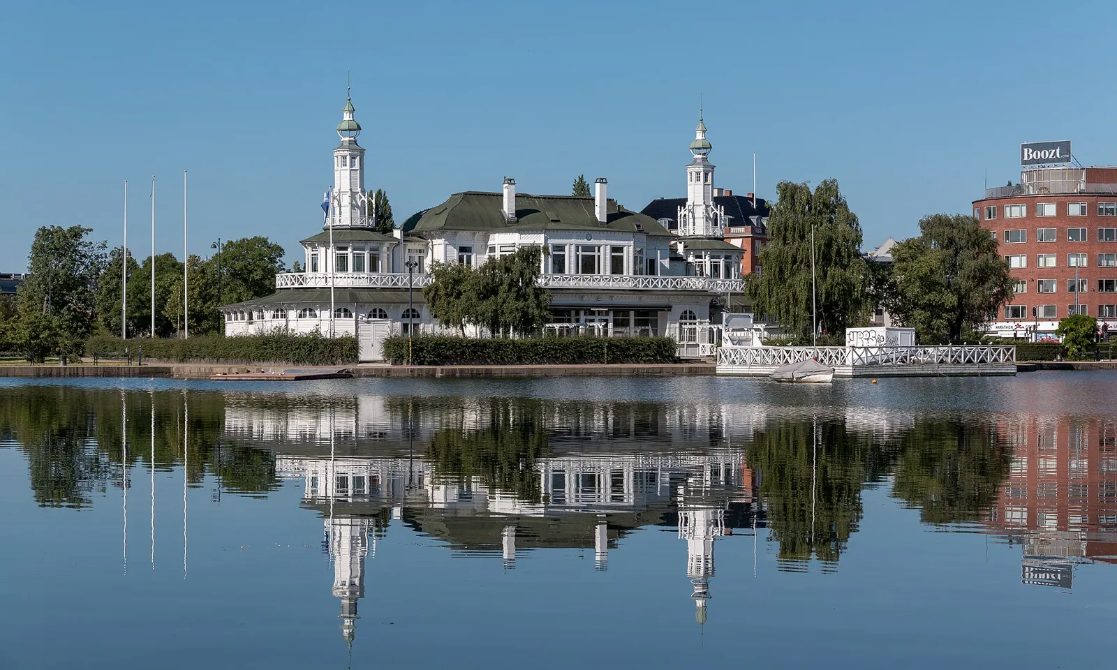
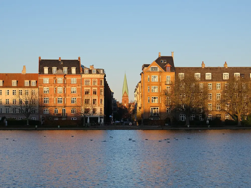
The Søpavillonen and its reflection in Peblinge Sø on a still, clear morning

Photos: Dietmar Rabich (CC BY-SA 4.0), Leif Jørgensen (CC BY-SA 4.0), kallerna (CC BY-SA 4.0), Kristoffer Trolle from Copenhagen, Denmark (CC BY 2.0)

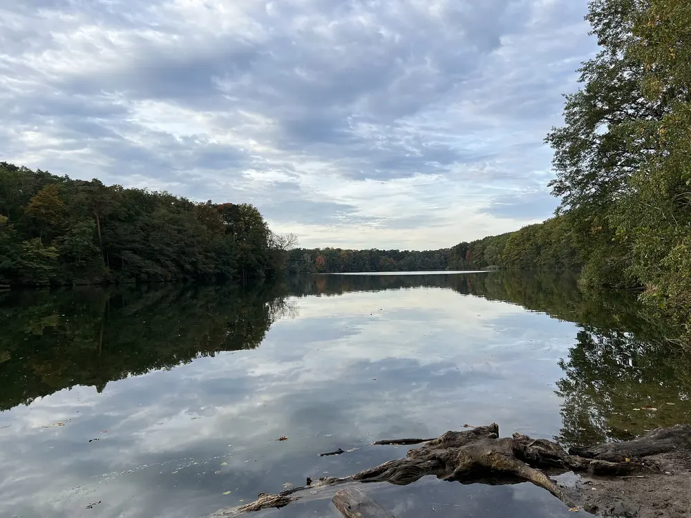
Distance
6.4 km around the Lakes
Big race
Copenhagen Marathon, 9 May 2027
Half marathon
45,000 places, September 2027
Terrain
Flat

Why go

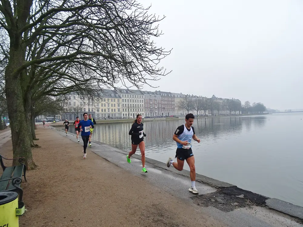
The Lakes, a chain of old reservoirs on the edge of the inner city, are its favourite running route, with a path all the way round and bridges to cut across. The city hosted the World Athletics Road Running Championships in September 2026, and when its half marathon moved to a lottery for 2027, 188,522 people entered for 45,000 places.

The route

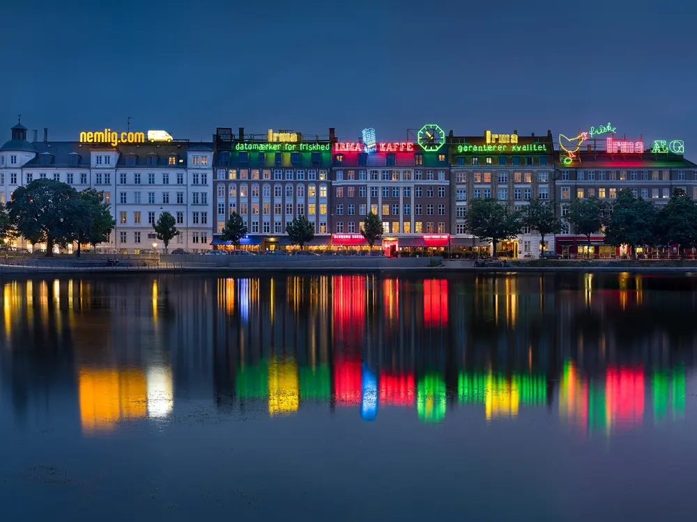
The Lakes are three artificial lakes divided into five basins: Sankt Jørgens Sø, Peblinge Sø and Sortedams Sø. The loop around them is 6.4 km by Wikipedia's count and 6.6 km by Great Runs, on a flat pedestrian path. The bridges and roads that cross them, among them Dronning Louises Bro and Gyldenløvesgade, let you zigzag for extra distance or cut short. Fælledparken lies just north of Sortedams Sø and Østre Anlæg just south of the lakes, and Fredens Park and Amor Park add about 800 m of one-way paths near the Fredensgade bridge.

When to go

The marathon is in May and the half marathon in September. The 2027 Copenhagen Marathon is on Sunday 9 May, and the organisers aim for 30,000 runners. The 2027 Copenhagen Half is in September; its date was shown as 19 September 2027.

Getting there

The M2 metro runs from Terminal 3 at the airport to the city every 4 to 6 minutes by day, reaching Nørreport, near Peblinge Sø, in about 15 minutes. Trains to Copenhagen Central take about the same.

Permits and booking

The paths are free. Marathon places for 2027 were drawn by lottery after a three-week registration window from 13 May to 3 June 2026; selected runners had 48 hours to pay. Each entry cost DKK 995 plus a DKK 20 administration fee. The half marathon's 2027 lottery closed with 188,522 entries; the organisers expect to open registration about a year ahead of each race.

How hard it is

Easy. The loop is flat, with no climbs at all. The paths are shared with walkers and cyclists, so expect company.

Where to sleep

Stay in Nørrebro or Østerbro, on the lakes' outer side, or in the inner city near Nørreport, a few minutes' jog from Dronning Louises Bro.

Tips

  • Start at the corner of Østerbrogade and Øster Søgade and run clockwise; Great Runs lists the distance to each bridge from there, handy for intervals.
  • Add Fælledparken for a longer run with grass underfoot.
10 / 10

Budapest: Margaret Island and the Budapest Marathon

Budapest, Hungary

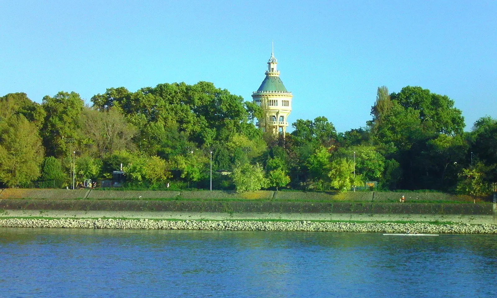
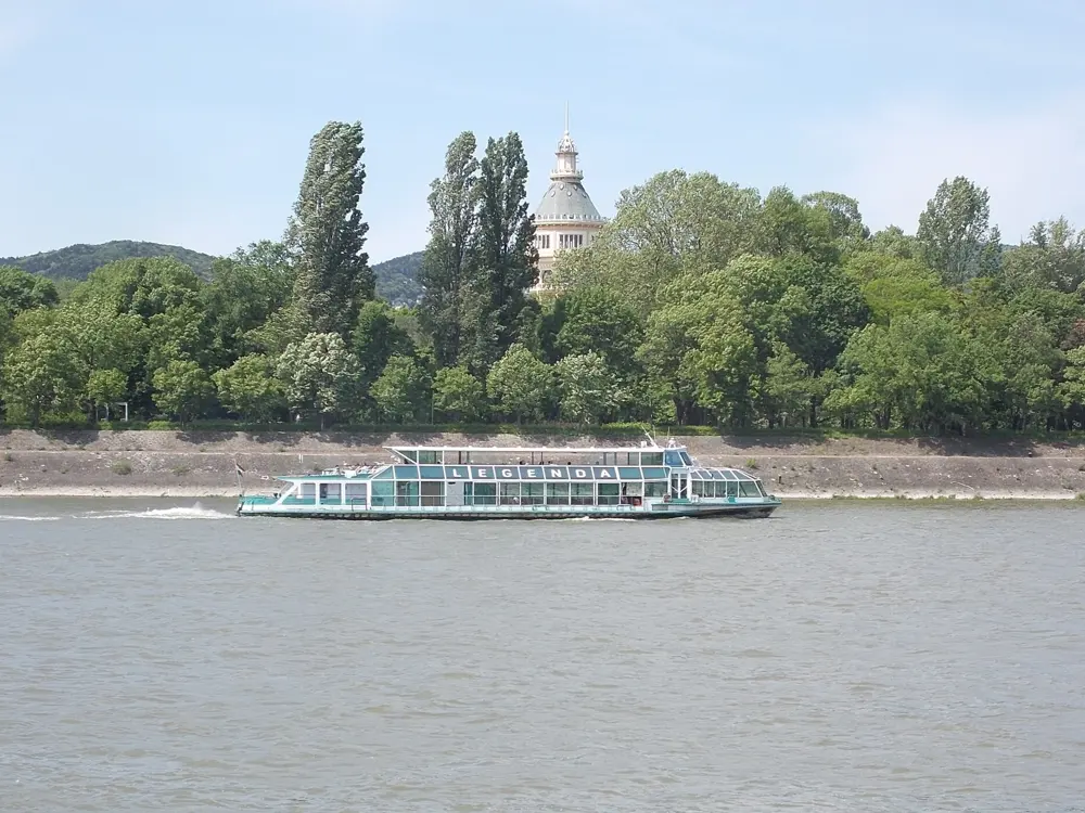
The Margaret Island water tower above the trees, seen across the Danube

Photos: Globetrotter19 (CC BY-SA 4.0), Globetrotter19 (CC BY-SA 3.0), Globetrotter19 (CC BY-SA 3.0), Dirk Beyer (CC BY-SA 3.0)

Distance
5.3 km rubberised loop of Margaret Island
Island
2.5 km long, 500 m wide
Big race
SPAR Budapest Marathon, October
Marathon limit
5 hours 30 minutes

Why go

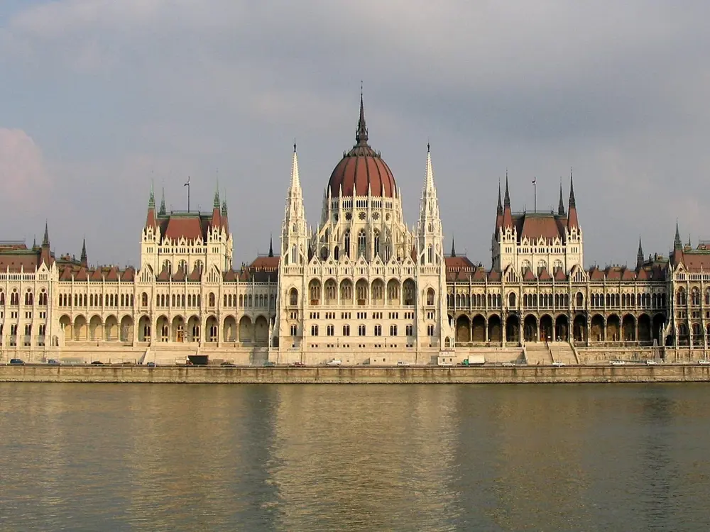
Margaret Island sits in the middle of the Danube between Buda and Pest, and around its edge runs a rubberised, runners-only track that may be one of the largest running tracks in the world. Cars have been limited on the island since the 1980s, so the loop is quiet, shaded and open all year. The October marathon crosses the city's bridges and runs along the Danube quays, with the Parliament in view from the Pest side and Margaret Island itself as a car-free stretch late in the race.

The route

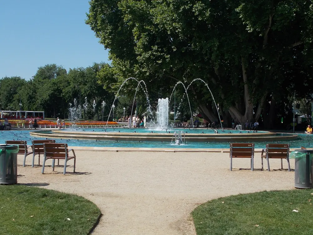
The island track is 5.3 km, which World Athletics says takes most runners 30 to 35 minutes; Wikipedia gives about 5.35 km. Shaded paths cross the interior, past the musical fountain and the octagonal Art Nouveau water tower of 1911, so you can mix track laps with softer loops. Beyond the island, City Park (Városliget) has loops of 3 to 6 km on paved and dirt paths near Heroes' Square, and the Buda Hills at Normafa have forest trails with hills for runs of up to 10 km. The marathon starts and finishes on the Pázmány Péter promenade by the ELTE campus, crosses the Chain, Liberty and Árpád bridges, and reaches Margaret Island at about km 24 to 30.

When to go

The island is open all year. The 2026 marathon was on Sunday 11 October, part of a two-day festival with a 10 km and 5 km on the Saturday; Fat Marathoner gives about 8 to 12°C at the 9 am start. In 2025 the festival drew 40,851 participants from 119 countries, with 7,383 marathon finishers.

Getting there

Trams 4 and 6 stop at Margaret Island on Margaret Bridge, and the H5 suburban railway also serves it; Árpád Bridge reaches the north end. From the airport, the 100E express bus runs to Deák Ferenc tér, where the metro lines meet, in about 35 minutes.

Permits and booking

The island and the track are free and open all year. Only one bus line, taxis and service vehicles may drive on the island. Marathon registration is through the organisers' entry site, and the time limit is 5 hours 30 minutes from the last wave start.

How hard it is

Easy. The island loop is flat and soft underfoot. The marathon is flat too, with about 250 m of gain over the whole course, though wind can be strong on the exposed river quays.

Where to sleep

Stay on the Pest side near Margaret Bridge for the shortest run to the island, or on the island itself, where hotel guests park at the northern end.

Tips

  • Run the outer track for distance and the interior paths for shade in summer.
  • In summer the musical fountain puts on a water and music show at night.

Sources

Distances, heights, seasons and permit rules were checked against these pages. Rules change, so check the park or trail authority before you go.