Rungs Labs

Rungs Pilgrimage · Running · Australia and New Zealand

The 10 Best Places to Run in Australia and New Zealand

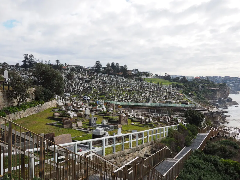
The Bondi to Coogee coastal walk, Sydney, Australia. Photo: Maurice van Creij (CC BY 3.0)

Australia and New Zealand run on harbour paths, mountain tracks and some of the most oversubscribed trail races anywhere. These ten take in Sydney's cliffs, Melbourne's Tan, the Blue Mountains, the altitude camps of Falls Creek, kunanyi above Hobart and Kings Park in Perth, then cross the Tasman to Auckland's waterfront, the redwoods of Rotorua, the trails around Queenstown and the Kepler Track in Fiordland.

For each place you get the classic runs, the best season, how to get there, any permits, race entry rules or closures, how hard it is and where runners stay. Every fact comes from park authorities, race organisers or the other pages linked at the bottom.

Updated 2026-10-18

  1. 01The Bondi to Coogee coastal walkSydney, Australia
  2. 02Queenstown and the Queenstown TrailOtago, New Zealand
  3. 03The Blue MountainsKatoomba, New South Wales, Australia
  4. 04The Kepler Track and the Kepler ChallengeFiordland, New Zealand
  5. 05The TanMelbourne, Australia
  6. 06Rotorua and the RedwoodsBay of Plenty, New Zealand
  7. 07kunanyi/Mount Wellington and the Point to PinnacleHobart, Tasmania, Australia
  8. 08Auckland: Tamaki Drive and MaungawhauAuckland, New Zealand
  9. 09Falls CreekVictorian Alps, Australia
  10. 10Kings Park and the Swan River bridgesPerth, Western Australia, Australia
01 / 10

The Bondi to Coogee coastal walk

Sydney, Australia
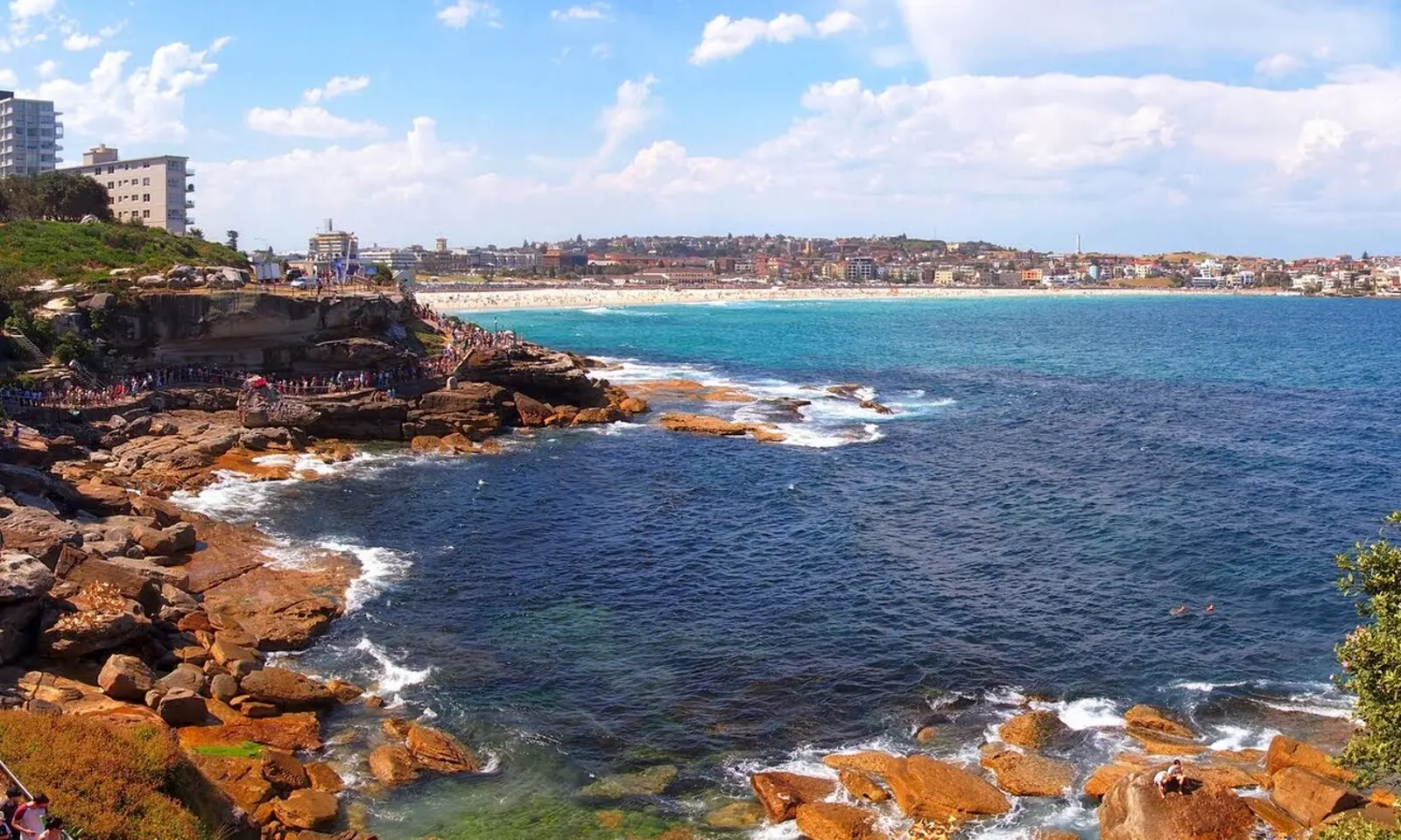
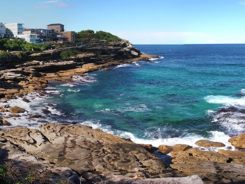
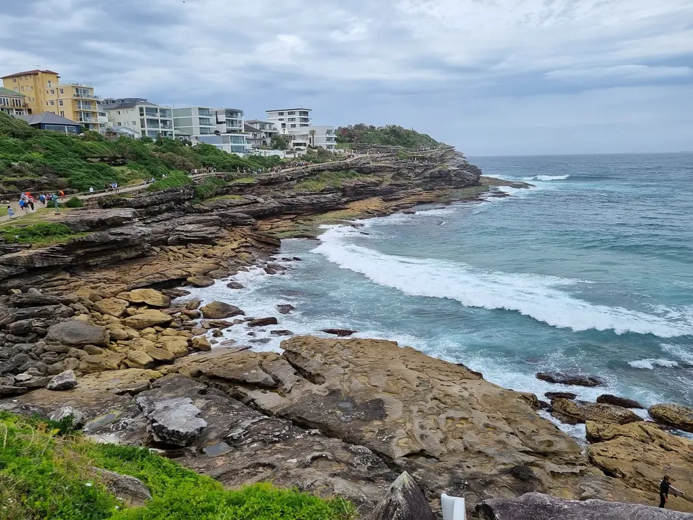
Orange sandstone rocks and turquoise water on the coastal walk, with Bondi Beach behind

Photos: Maurice van Creij (CC BY 3.0), Nick-D (CC BY-SA 4.0), Maurice van Creij (CC BY 3.0), Maksym Kozlenko (CC BY-SA 4.0)

Distance
6 km one way, Bondi to Coogee
Beaches
5 on the way
Grade
2, with steep stairs in places
Big race
City2Surf, 14 km, 8 August 2027

Why go

Sydney's eastern suburbs end in sandstone cliffs, and this path follows them from the south end of Bondi Beach to the north end of Coogee. You run past Tamarama, Bronte and Clovelly, round Gordons Bay and along the boardwalk below Waverley Cemetery, with the Pacific on your left the whole way if you head south. Ocean pools at Bronte and Coogee make a swim part of the run, and in winter humpback whales pass the headlands on their migration.

The route

The classic is the 6 km out and back between Bondi and Coogee, about 12 km in all, well signposted and paved or boardwalked most of the way. Bondi to Bronte is the shorter loop most locals run. Keen runners carry on north on the Bondi to Manly walk, an 80 km route that its organisers split into 2 to 7 days, or south along Randwick's coastal walkway, which still leaves the coast for the roads between Coogee and Maroubra.

When to go

Any month works. Summer weekends bring the biggest crowds, so run at first light. Sculpture by the Sea fills the Bondi to Tamarama section from 16 October to 2 November 2026 and draws over 500,000 visitors, so avoid that stretch during it. The City2Surf runs 14 km from the city to Bondi Beach each August; the 2026 race sold out for the third year in a row, and the 2027 race is on 8 August.

Getting there

Take the train to Bondi Junction, then bus 333 or 380 to Bondi Beach. Weekend bus 362 links Coogee with Bondi via Bronte and Tamarama, handy if you run one way. Parking at both ends is limited.

Permits and booking

No permit or fee is needed, and the walk has no opening hours. Dogs on leads are allowed. City2Surf entry is through the race website, and once general entry sells out the remaining places are charity places with a fundraising pledge.

How hard it is

Easy distance but not flat: the path climbs and drops at every headland, with long flights of stairs, the steepest around Gordons Bay. Most of it is unsuitable for prams. On busy days you share it with crowds of walkers. The section at Marks Park, Tamarama, closed after a cliff collapse in April 2024, reopened after repairs finished on 12 December 2025. In the City2Surf, Heartbreak Hill is a 2 km climb into Vaucluse after Rose Bay.

Where to sleep

Stay in Bondi or Coogee to start running from the door. Both have hotels and short stays, and Bondi Junction has the train.

Tips

  • Take water from the fountains at every beach rather than carrying much.
  • Run southbound early and catch the 362 back on weekends.
  • Walk the stair flights when the path is busy and run the flat stretches between beaches.
02 / 10

Queenstown and the Queenstown Trail

Otago, New Zealand

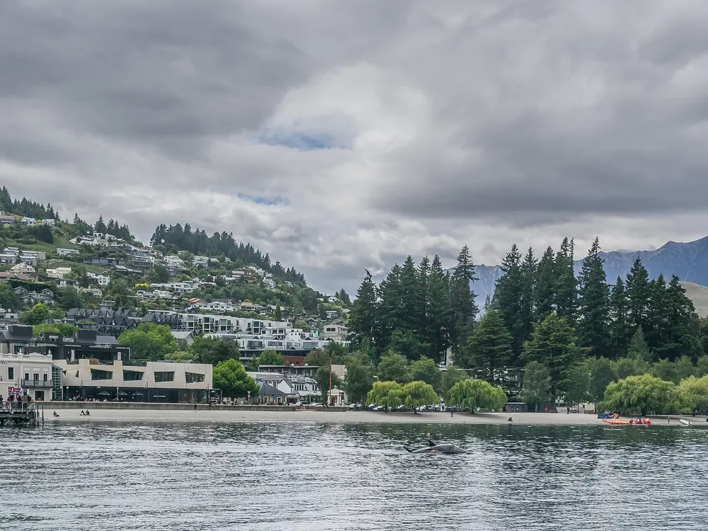
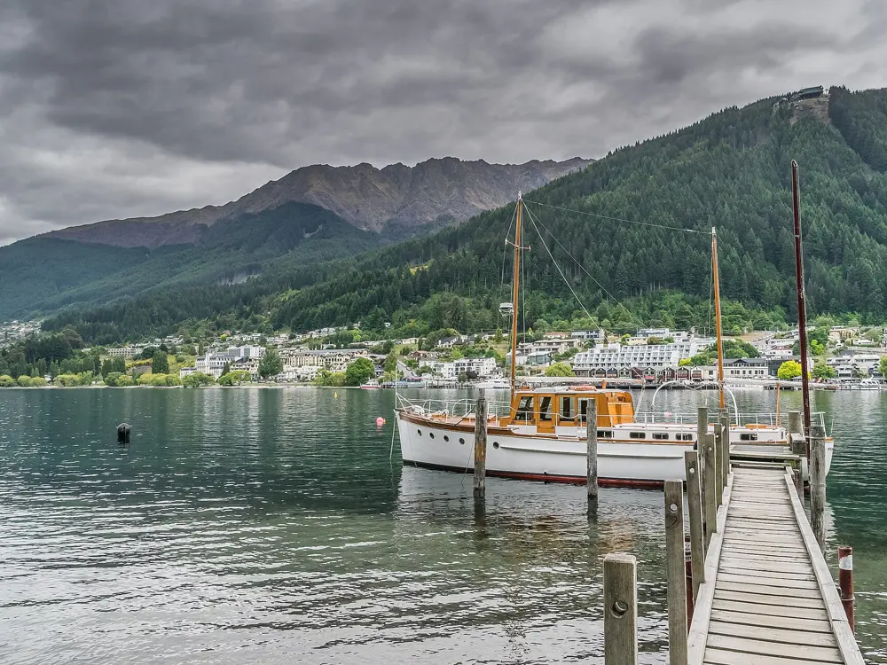
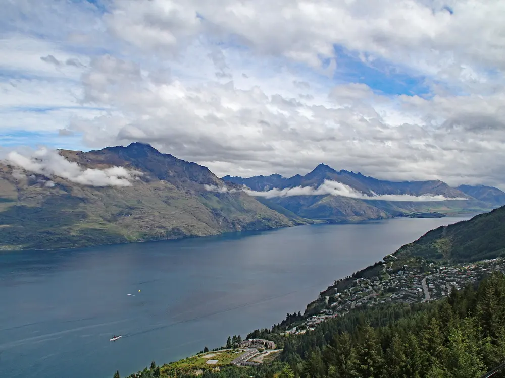
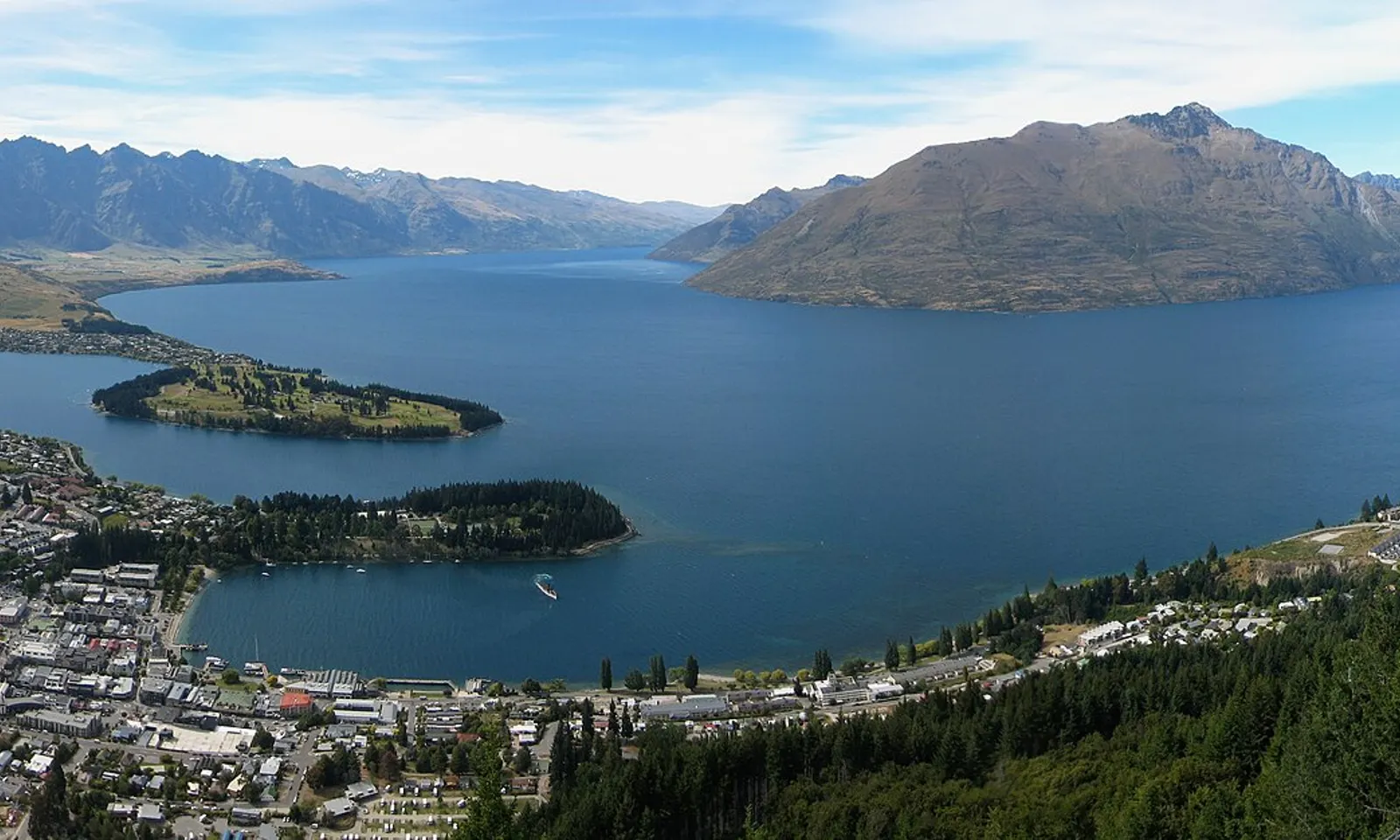
Lake Wakatipu and the Frankton Arm seen from above Queenstown, with mountains across the water

Photos: Avenue (CC BY-SA 3.0), Krzysztof Golik (CC BY-SA 4.0), Krzysztof Golik (CC BY-SA 4.0), Tony Hisgett from Birmingham, UK (CC BY 2.0)

Distance
42.2 km, the Queenstown Marathon
Trail network
At least 130 km
Ben Lomond
1,748 m summit, 1,438 m of climb from town
Next race
Queenstown Marathon, 14 November 2026

Why go

Queenstown sits on the shore of Lake Wakatipu with mountains on every side, and a network of off-road trails, at least 130 km of them, links the town with Frankton, Lake Hayes, Arrowtown and the Kawarau and Shotover rivers. That network carries a marathon that is mostly trail, and above the town the Ben Lomond Track climbs from lakeside forest to an alpine summit.

The route

The Frankton Track and Kelvin Peninsula Trail start at the entrance to Queenstown Gardens and follow the Frankton Arm of the lake for 16.4 km one way to the golf course on the Kelvin Peninsula; throughout 2026 a detour applies between Park Street and Frankton Marina. Further out, the Lake Hayes Trail is an 8 km loop, the Arrow River Bridges Trail runs 13.7 km from Arrowtown and the Twin Rivers Trail 18.4 km. For the mountain, the Tiki Trail climbs from the gondola base through Douglas fir to the treeline at about 800 m, then on to Ben Lomond Saddle at 1,326 m: 10 km return. The summit at 1,748 m makes it 14 km return. The marathon starts at Millbrook Resort, passes through Arrowtown, along the Arrow River and clockwise round Lake Hayes, crosses at Old Shotover Bridge, follows the Twin Rivers trail and the Kawarau River, then the Frankton Arm Walkway into town, loops Queenstown Gardens and climbs Duke Street to the finish at the Recreation Ground.

When to go

The trails run all year. On Ben Lomond, snow and ice in winter call for alpine equipment, so save the summit for the snow-free months unless you have alpine skills. The 2026 Queenstown Marathon is on Saturday 14 November; the organisers give an 8:45 am start, based on 2025 and subject to change, and the course closes at 4:30 pm.

Getting there

Queenstown Airport is at Frankton, where the lakeside trail along the Frankton Arm leads into town. The Ben Lomond Track starts from the Skyline Gondola base in town, and the gondola top complex is a shortcut to the upper track.

Permits and booking

No permit is listed for the Queenstown Trail or the Ben Lomond Track. On Ben Lomond, the section from the saddle to the summit crosses private land on Ben Lomond Station: keep to the formed track and respect the landowner. A year-round outdoor fire ban covers Ben Lomond, and drones need a permit. Marathon entry is through the race website.

How hard it is

The lakeside trails are easy and mostly flat. The marathon is about 70 percent smooth, hard-packed trail and 30 percent road, mainly flat with a few rises. Ben Lomond is a different thing: DOC rates its fitness level high, the track beyond the saddle is unmaintained, and there are steep drop-offs on the way to the summit.

Where to sleep

Stay in Queenstown to start both the lake trails and Ben Lomond from the door. Arrowtown is quieter and sits on the trail network.

Tips

  • On Ben Lomond, leave plenty of daylight and carry a headtorch: DOC notes the peak is only the halfway point.
  • Combine the lakeside trail and the Kelvin Peninsula for a long, flat run without repeating ground.
03 / 10

The Blue Mountains

Katoomba, New South Wales, Australia

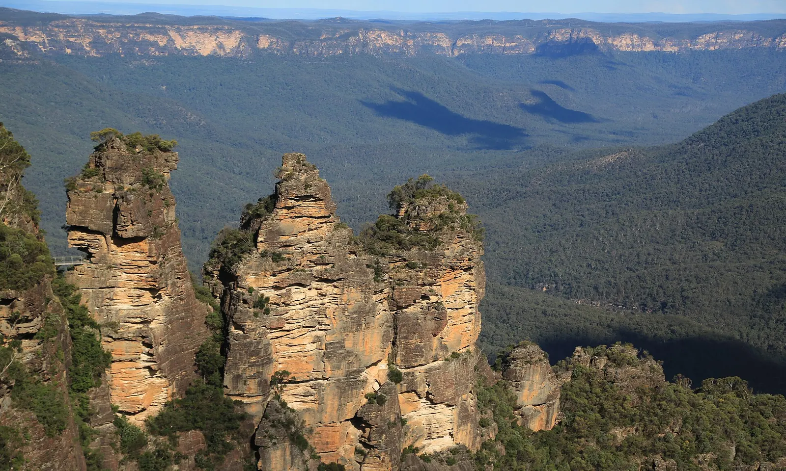
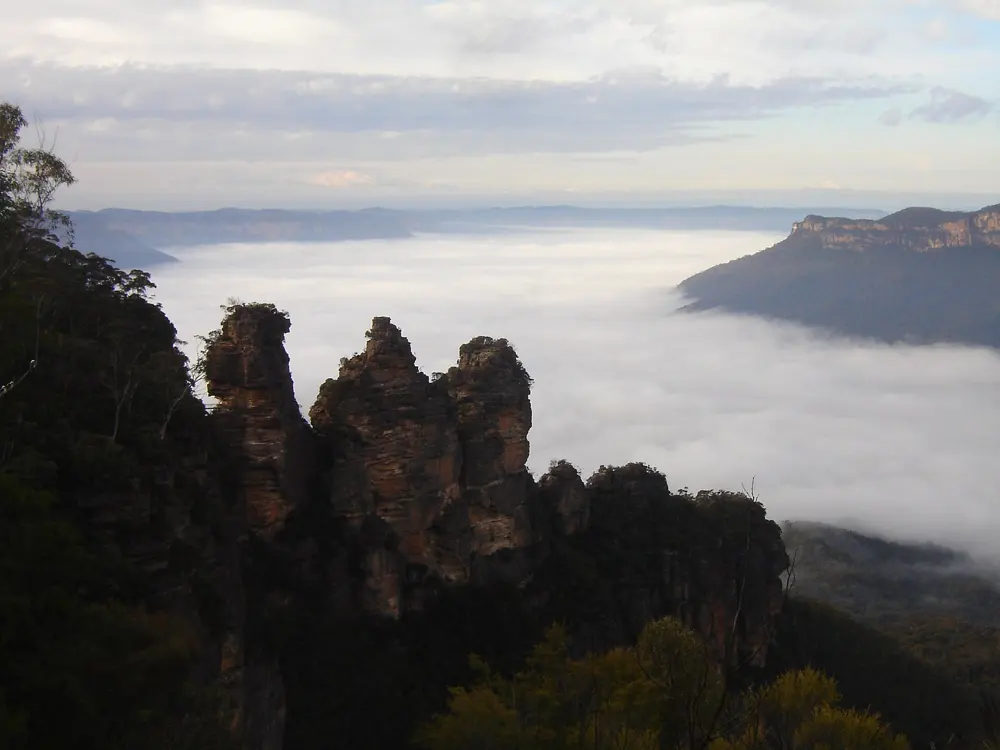
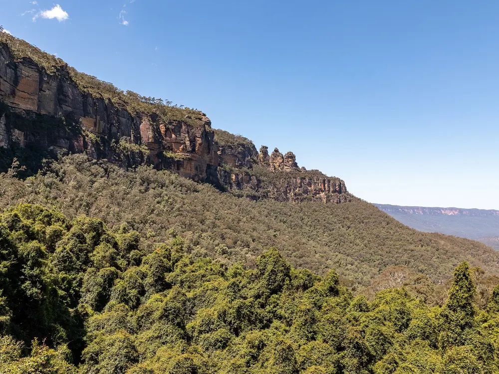
The Three Sisters rock formation above the forested Jamison Valley at Katoomba

Photos: Stu's Images (CC BY-SA 4.0), Dietmar Rabich (CC BY-SA 4.0), Alicia Brogan (Ali b at English Wikipedia) (CC BY-SA 3.0), Dietmar Rabich (CC BY-SA 4.0)

Distance
45 km, the Six Foot Track Marathon
Big race
Ultra-Trail Australia, 13 to 16 May 2027
Start height
1,050 m at the Six Foot Track start
From Sydney
About 2 hours by train

Why go

West of Sydney the land rises into sandstone plateau cut by deep valleys, World Heritage listed and full of cliff tops, rock formations, waterfalls and native bush. Katoomba, on the edge of the Jamison Valley, is the base for Ultra-Trail Australia, which has run for 19 years and calls itself the world's second-largest ultra-trail. The race opens with a Welcome to Country and pays tribute to the Gundungurra people, the traditional custodians of the land. The other classic, the Six Foot Track Marathon, drops off the escarpment into the Megalong Valley and across the Coxs River.

The route

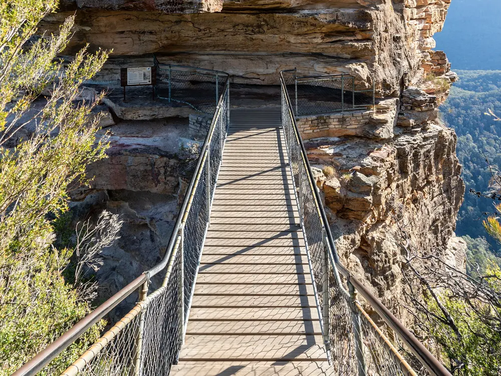
The Prince Henry Cliff Walk follows the cliff edge for 7 km one way from Katoomba Cascades to Gordon Falls near Leura, past more than 20 lookouts over the Jamison Valley, three waterfalls and the Three Sisters at Echo Point. The Six Foot Track Marathon starts 235 m from the Explorers Tree at 1,050 m, drops to 725 m at the bottom of Nellies Glen within 1.7 km, and crosses the Coxs River at its lowest point, 270 m, at 15.5 km. Over 45 km it climbs 1,528 m and descends 1,788 m. Ultra-Trail Australia offers a 161.1 km miler, the UTA100 (101 km, 4,400 m of climb), UTA50 (51 km), UTA22 (22 km) and UTA11 (11.4 km, 731 m of climb, from Scenic World), with stairs and Ironpot ridge on the way.

When to go

Ultra-Trail Australia runs from 13 to 16 May 2027, with the UTA100 on Saturday 15 May. The Six Foot Track Marathon is on Saturday 13 March 2027. The park can close in places for poor weather or fire danger, and fire bans are in force now, so check the local alerts before a long run.

Getting there

Direct trains run from Sydney Central to Katoomba about once an hour, up to every 30 minutes at peak times, and take about 2 hours. Driving also takes about 2 hours, longer with roadworks or holiday traffic.

Permits and booking

The park is always open, though parts close overnight, and the $8 vehicle fee applies only in the Glenbrook area. The Six Foot Track now ends at Binda Bush cabins while the Jenolan Karst Conservation Reserve is closed, and there is no public transport from there. The race finish has moved there too, with a 4 km loop added near Black Range. For 2027 every entrant needs a valid qualifier; preferred entry runs from 30 November to 2 December 2026 and lottery registration from 9 am on 2 December to 5 pm on 4 December, with places split equally between men and women. Entry costs $240. The UTA100, UTA50, UTA22 and miler are listed as full.

How hard it is

Hard. The Six Foot Track is graded hard for walkers, narrow and rocky near the start and boggy after rain. Ultra-Trail Australia is steep throughout, with long stair climbs.

Where to sleep

Katoomba and Leura have plenty of guesthouses and hotels close to the cliff walk and the race start at Scenic World.

Tips

  • For a long run on the Six Foot Track, fill in a trip intention form and borrow a free personal locator beacon from the Blue Mountains Heritage Centre in Blackheath.
  • Run the cliff walk early, before the lookouts fill with visitors.
04 / 10

The Kepler Track and the Kepler Challenge

Fiordland, New Zealand

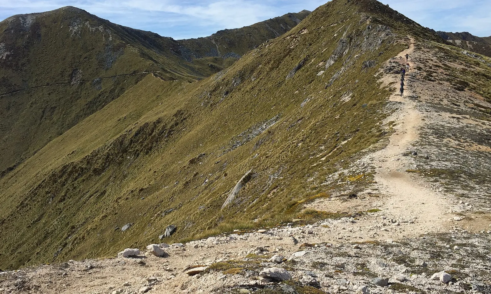
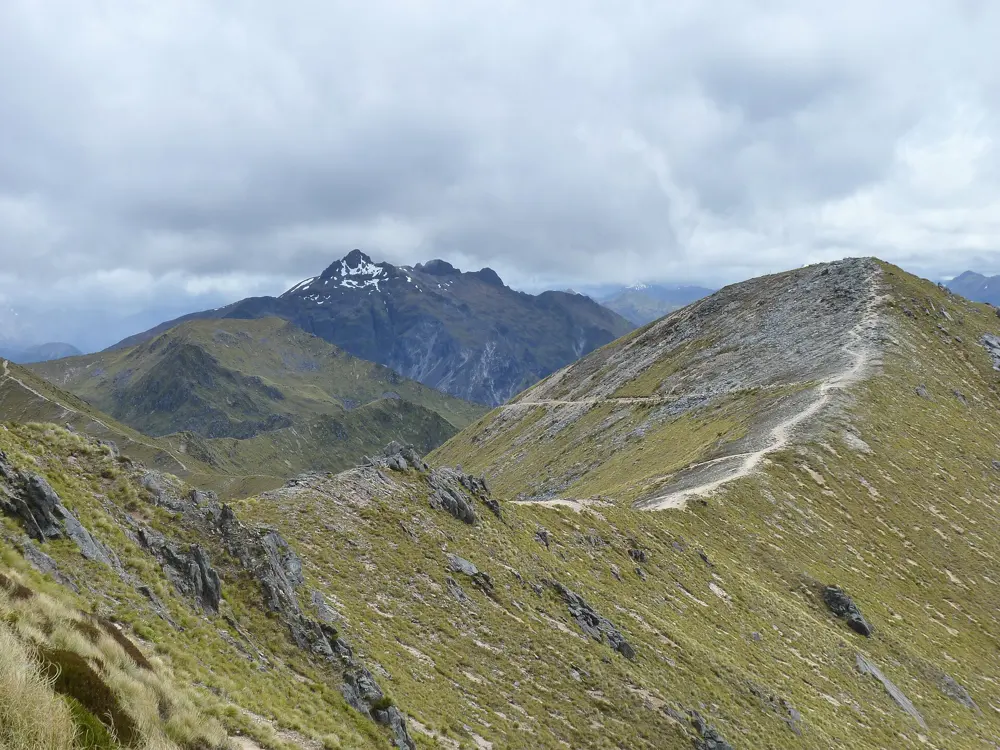
A narrow trail running along a grassy alpine ridge on the Kepler Track

Photos: Robert (Bic) Bicknell (CC BY-SA 4.0), Michal Klajban (CC BY-SA 4.0), Michal Klajban (CC BY-SA 4.0), Oren Rozen (CC BY-SA 3.0)

Distance
60 km, the Kepler Challenge
High point
1,472 m, Luxmore summit
Climb
About 2,200 m
Race
First Saturday of December, 450 runners

Why go

The Kepler Track is one of New Zealand's Great Walks, a loop from the shore of Lake Te Anau up through beech forest to an alpine ridge and back down the Iris Burn valley. Walkers take four days. Runners do it in one: the Kepler Challenge was first held on 10 December 1988 to celebrate the track's completion, when 149 finished, and elite runners now cover the 60 km in under five hours. It sells out in about two minutes.

The route

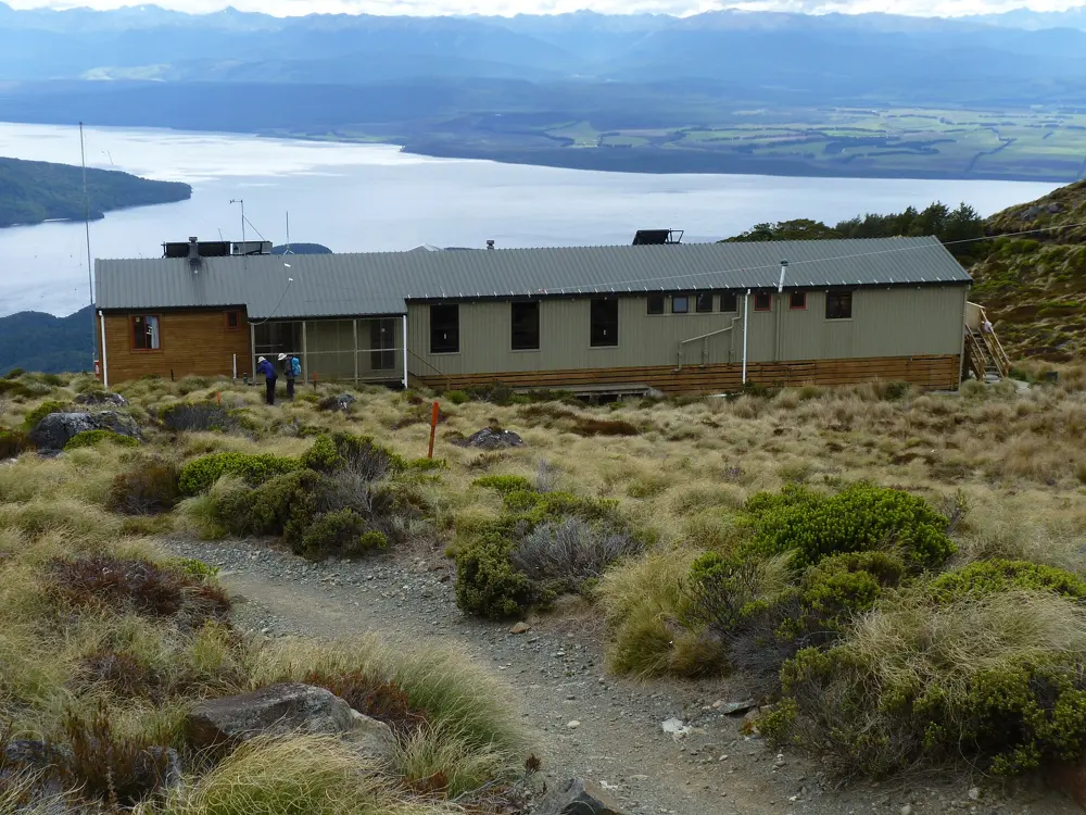
The race follows the loop in six stages from the Control Gates: 5.6 km of flat lakeside to Brod Bay, 8.2 km and 1,000 m of climbing to Luxmore Hut, then 14.6 km along the exposed tops to Iris Burn, the hardest stage. It then runs 16.2 km down the valley to Moturau Hut, 6 km to Rainbow Reach and 9.5 km back. The Luxmore summit, at 1,472 m, is a 30 minute side trip from the track. For a single day out without the race, the climb from the Control Gates to Luxmore Hut and back is 27.6 km on the race's stage distances.

When to go

The Great Walk season runs from 27 October 2026 to 30 April 2027. Avalanche risk can last into December, and DOC may close the alpine section between Luxmore and Iris Burn huts. From May to late October the track is not maintained as a Great Walk and needs ice axe, crampons and avalanche gear. The 2026 Kepler Challenge is on Saturday 5 December, starting at 6 am, and the track is busy that day.

Getting there

Te Anau is 170 km, about 2 hours' drive, from Queenstown. The Kepler Track car park is about 5 km from Te Anau, a 50 minute lakefront walk from the Fiordland National Park Visitor Centre; Rainbow Reach is about 12 km out. Shuttles run daily in the Great Walk season, and on race day a free shuttle runs from town to the Control Gates.

Permits and booking

Huts and campsites must be booked in the Great Walk season: huts cost $88 a night for New Zealand adults and $132 for international adults, campsites $28 and $42. Kepler Challenge entry opens at 6.30 am New Zealand time on the first Saturday in July, next on 3 July 2027, and places go in the order forms are completed, with a waitlist after that. The 2026 race is sold out. The Charity Challenge offers 20 guaranteed places. The 27 km Luxmore Grunt costs $275.

How hard it is

Hard. The climb to Luxmore is steep and the tops are exposed to Fiordland weather. There is no reliable water on the alpine section between Luxmore Hut and Iris Burn Hut. The race has eleven checkpoints with first aid and radios.

Where to sleep

Te Anau has motels, holiday parks and lodges. On the track, Luxmore, Iris Burn and Moturau huts and the Brod Bay campsite need bookings in season.

Tips

  • Fill your bottles at Luxmore Hut before the tops.
  • Kea live on the alpine section and around Iris Burn and will damage unattended gear.
  • Didymo is in Lake Te Anau and the Waiau River: check, clean and dry your shoes.
05 / 10

The Tan

Melbourne, Australia

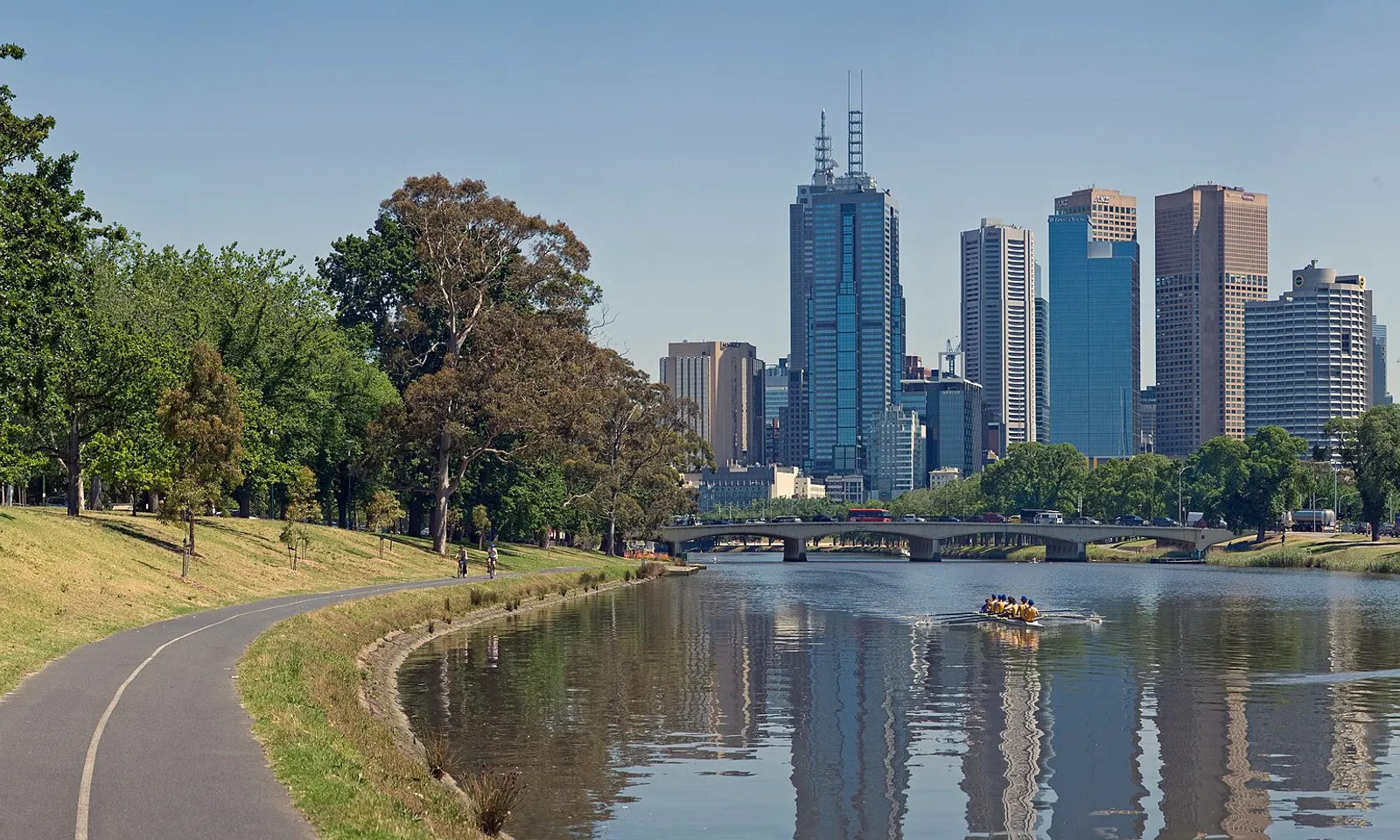
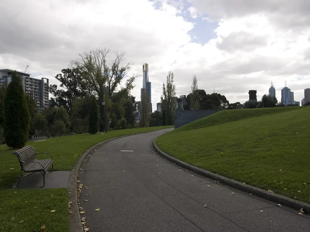
A riverside path beside the Yarra on Alexandra Avenue, with the Melbourne skyline across the water

Photos: Diliff (CC BY-SA 3.0), Pfctdayelise (CC BY-SA 3.0), Gary Houston (CC0), Maksym Kozlenko (CC BY-SA 3.0)

Distance
3.827 km loop
Surface
Mostly gravel
Lighting
Floodlit 5 am to midnight
Big race
Melbourne Marathon, October, finishing in the MCG

Why go

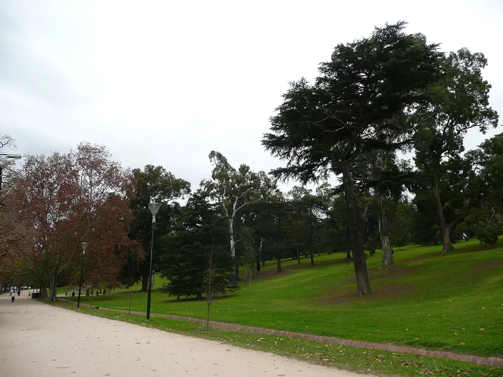
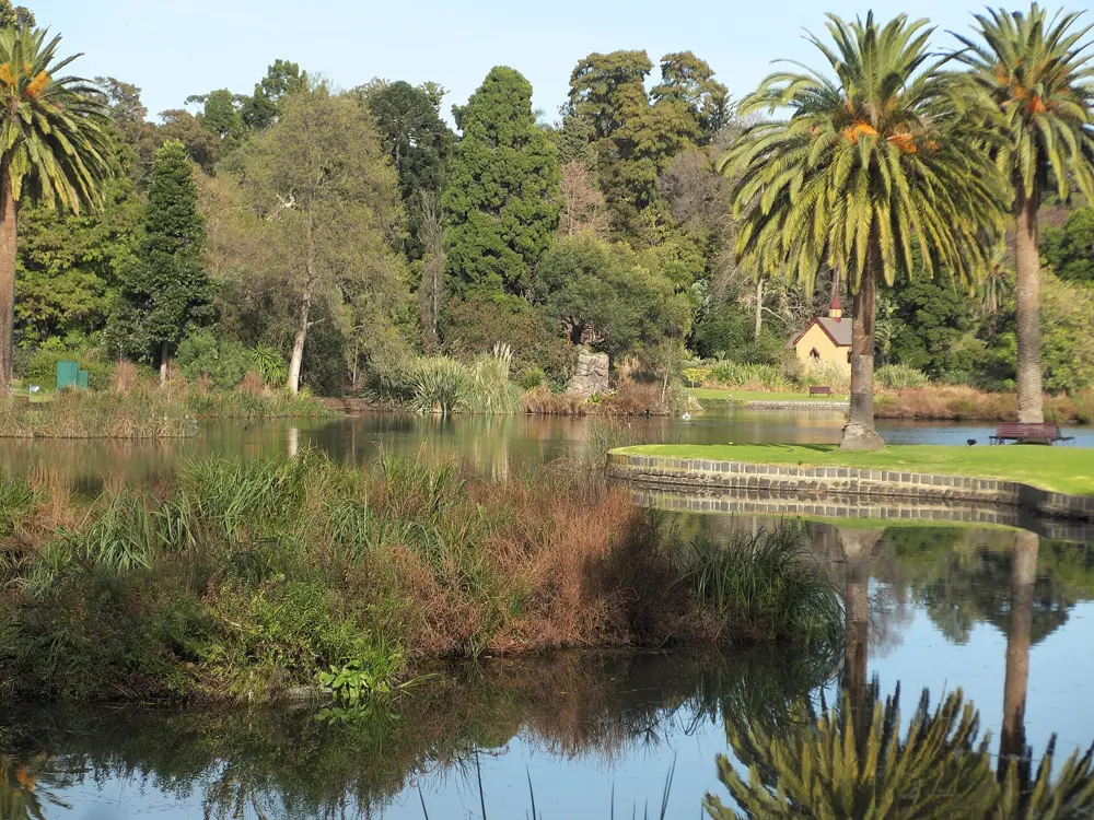
The Tan is Melbourne's running track: a gravel loop round the Royal Botanic Gardens and Kings Domain, a few minutes from Flinders Street. It began as a horse track and has been used by Melburnians for more than 100 years; a 2012 report put its users at around 350,000 a year. Digital clocks at the start and halfway show the ten fastest recorded times, so on any lunchtime you will see office workers racing the clock beside the Shrine of Remembrance and the Yarra.

The route

One lap is 3.827 km, with markers every 250 m. The start and finish line is on Alexandra Avenue beside the river, and the halfway clock is on Birdwood Avenue. Run clockwise and you meet the one real hill, on Anderson Street; faster runners conventionally go anticlockwise. For longer runs, Albert Park Lake has a flat 4.7 km loop with 500 m markers and a Saturday parkrun, and the paved Capital City Trail makes a 29 km loop from Princes Bridge along the Yarra, Merri Creek and Moonee Ponds Creek, easy to cut into sections.

When to go

March to May and September to October are the best months. Summer averages 14 to 26 °C, but heatwaves reach 35 to 40 °C with extreme UV, so run before 7 am; the Tan has shade. Winter is 5 to 15 °C with frequent light rain. The 2026 Melbourne Marathon was held on 11 October on a new, flatter course from Batman Avenue that ends with a lap inside the MCG.

Getting there

The Tan is about a 10 minute walk from Flinders Street Station, or take any southbound St Kilda Road tram. The Domain Road tram stop is at the entrance to the track.

Permits and booking

Running is free and needs no permit. Melbourne Marathon entry costs $235 for Australian residents and $295 for international entrants; in 2026 the general allocation sold out, leaving time-standard and elite entries.

How hard it is

Easy. The loop is mostly flat apart from the Anderson Street climb, with fountains and toilets along the way. It is busy at lunchtime and after work, so keep left and expect walkers. The marathon has a 7 hours 45 minutes cut-off.

Where to sleep

Southbank and the CBD are a short walk away, with hotels of every kind on the north bank of the Yarra and along St Kilda Road.

Tips

  • Carry a light layer: a cold front can drop the temperature 10 to 15 °C in minutes.
  • Start at the Alexandra Avenue clock if you want your lap to count against the posted times.
06 / 10

Rotorua and the Redwoods

Bay of Plenty, New Zealand

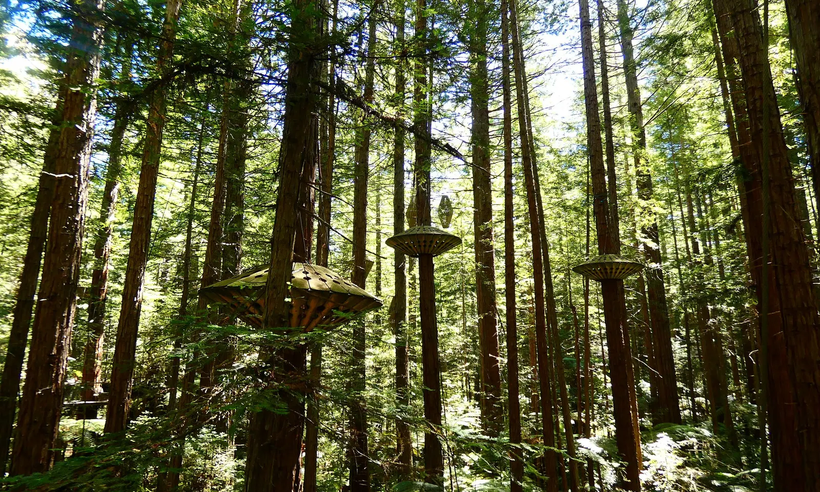
Tall redwood trunks rising through the forest at the Redwoods, Rotorua

Photos: Panamitsu (CC BY-SA 4.0), Panamitsu (CC BY-SA 4.0), Kiwiz1338 (CC BY-SA 4.0), Avenue (CC BY-SA 3.0)

Distance
34 km, the Whakarewarewa Circuit
Forest
5,600 ha
Redwoods
First planted in 1901
Big race
Tarawera Ultra-Trail, 13 to 14 February 2027

Why go

On the edge of Rotorua, Whakarewarewa Forest holds groves of Californian coast redwoods first planted in 1901, inside 5,600 ha of forest laced with walking tracks and more than 130 km of mountain bike trails. Runners know the town for the Tarawera Ultra-Trail, created in 2009 by local runner Paul Charteris and part of the UTMB World Series since 2023. Its courses pass eight lakes, and the current 102 km records, set in 2025, belong to New Zealanders Ruth Croft (8:24:34) and Daniel Jones (7:17:42).

The route

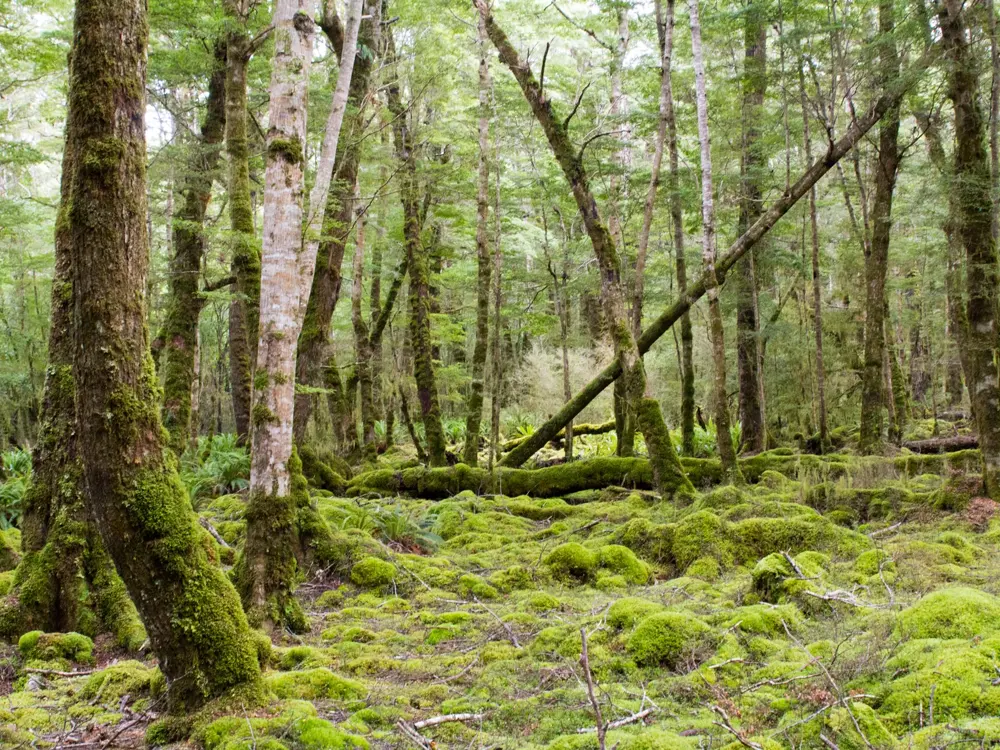
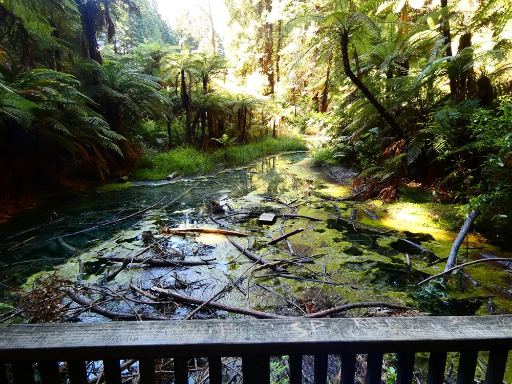
The marked forest tracks start at the Redwoods i-SITE on Long Mile Road and are colour coded: the Redwood Memorial Grove (red, 2 km) with a boardwalk over a thermal pond, Waitawa (blue, 3.4 km), Quarry Lookout (green, 4.8 km), Pohaturoa (yellow, 7.5 km) to a lookout over the city, Tokorangi Pā (purple, 11.5 km) past an old pā site, and the Whakarewarewa Circuit (black, 34 km), a full day of sustained hills. The Tarawera races are point to point: the TMiler (163 km, 3,800 m of climb), T102 (102 km, 2,300 m), T50 (52 km, 1,150 m), T21 (23 km, 400 m) and a new T14 (14 km, 161 m) from Te Puia. The 102 km has run from Kawerau to Rotorua since 2018.

When to go

The forest tracks are open all year. The 2027 Tarawera Ultra-Trail is on 13 and 14 February, with the T14 on the Sunday. The Rotorua Marathon, around Lake Rotorua, is on 1 May 2027.

Getting there

The forest visitor centre is on Long Mile Road, just outside the town. Several tracks also start from the Waipa car park.

Permits and booking

General access to the forest on foot, by bike or on horseback is free; other activities need a permit. The Redwoods Treewalk, a canopy walk, is a separate paid attraction. Tarawera entry is through the race website, and registration for 2027 is open.

How hard it is

From easy to hard. The short coloured tracks suit any runner; the Tokorangi Pā track is more demanding and the black circuit needs moderate fitness and a full day. The Mokopuna Trail and the Puarenga Stream track are shared with mountain bikes, and other tracks cross bike trails, so look and listen at junctions.

Where to sleep

Rotorua has plenty of motels and hotels, a short drive from the forest.

Tips

  • Pick up a map at the i-SITE before trying the longer tracks.
  • Use the 7.5 km Pohaturoa track for a hill session with a view at the top.
07 / 10

kunanyi/Mount Wellington and the Point to Pinnacle

Hobart, Tasmania, Australia

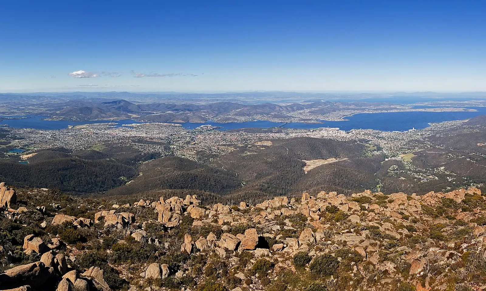
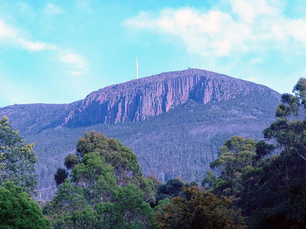
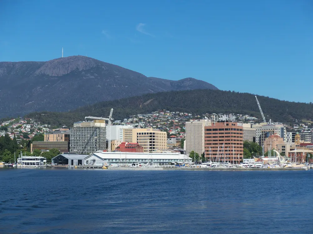
Hobart and the Derwent estuary seen from the boulder-strewn summit of kunanyi/Mount Wellington

Photos: JJ Harrison (https://www.jjharrison.com.au/) (CC BY-SA 3.0), Thennicke (CC BY-SA 4.0), Adavyd (CC BY-SA 3.0), Gary Houston (CC0)

Distance
21.1 km, Point to Pinnacle
Climb
1,271 m, sea level to summit
Park
Wellington Park, 18,011 ha, free entry
Next race
15 November 2026

Why go

Hobart sits at the foot of kunanyi/Mount Wellington, a 1,271 m summit inside Wellington Park, which stretches west from the top over 18,011 ha. Its tracks start in the suburbs, so a run from Fern Tree can end in alpine country. Once a year the whole city runs up it: the Point to Pinnacle, billed as the world's toughest road half marathon, has been run since at least 1995 and climbs from the harbour at Sandy Bay to the summit.

The route

The Point to Pinnacle starts at Wrest Point and follows the road for 21.1 km and 1,271 m of climb to the summit; the Point to Pub stops at the Fern Tree Tavern after 10 km and 426 m. On the trails, the classic climb from Fern Tree to the Pinnacle takes the Pillinger Drive, Fern Glade, Radfords, Pinnacle and Zig Zag tracks: 5.03 km one way, graded difficult, with steps and rocky ground. The Pipeline Track, one of Australia's oldest walking tracks, leads to the 50 m Wellington Falls, and the Pinnacle Track from The Springs passes the Organ Pipes cliffs. From Fern Tree the Pipeline Track also runs downhill past Gentle Annie Falls towards the Waterworks Reserve.

When to go

The 2026 Point to Pinnacle is on Sunday 15 November, the third Sunday of the month. Pinnacle Road then closes for maintenance from 16 to 19 November 2026, with the lower road open to The Springs on 18 and 19 November. The summit is alpine and exposed, and snow brings congestion on the road, so check for closures and look at the summit webcams before going high.

Getting there

Buses run from central Hobart to the Fern Tree Tavern stop, the start of the main tracks. The summit can be reached by shuttle bus, car, bike or on foot.

Permits and booking

Wellington Park is open seven days with free entry. Dogs are not allowed above The Springs main car park. Point to Pinnacle entry costs $120 from 1 August to 31 October and $145 from 1 to 14 November, with a limit of 3,200 entrants; the Point to Pub costs $75 or $90, limited to 1,600. There are no refunds from 1 September.

How hard it is

Hard. The race gives runners 3 hours 40 minutes, with checkpoints at the Southern Outlet by 8.40 am and Pillinger Drive by 9.40 am. The current records are 1:21:29 by Sam Clifford and 1:41:25 by Danette Sheehan, both set in 2025. On the trails, rock and steps turn slippery when wet and loose when very dry.

Where to sleep

Sandy Bay, around the race start, and central Hobart have the most rooms. Fern Tree puts you at the bottom of the tracks.

Tips

  • Take a warm, windproof layer to the summit even on a mild day in town.
  • Walkers start the Point to Pinnacle at 7 am and runners at 8 am; plan the shuttle back from the top.
08 / 10

Auckland: Tamaki Drive and Maungawhau

Auckland, New Zealand

The Auckland Harbour Bridge at sunset, with the city skyline lit behind it

Photos: Stephen Witherden (CC BY 2.0), Tom Hilton (CC BY 2.0), Researchassistent102 (CC BY-SA 3.0), Avenue (CC BY-SA 3.0)

Distance
8.1 km one way, Tamaki Drive
Big race
Auckland Marathon, 42.2 km, 1 November 2026
Maungawhau
196 m, Auckland's highest volcano
Marathon cut-off
7 hours

Why go

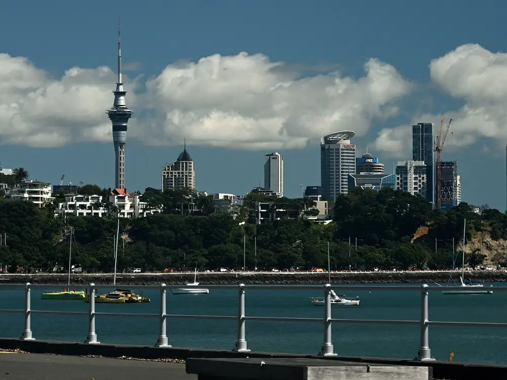
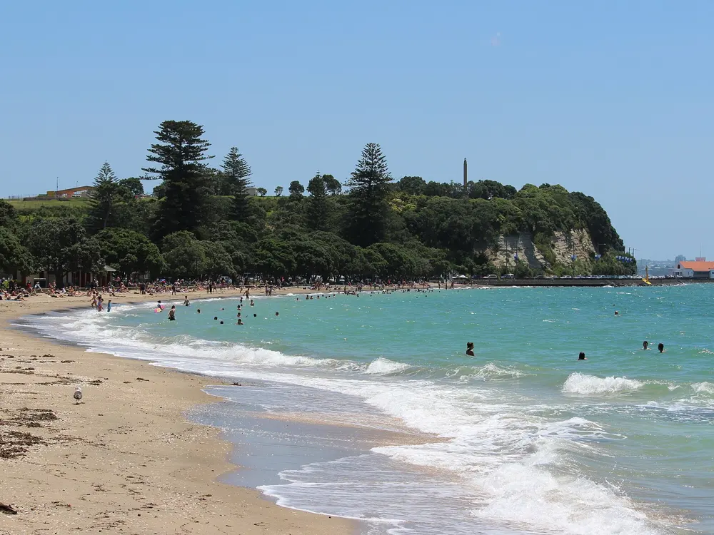
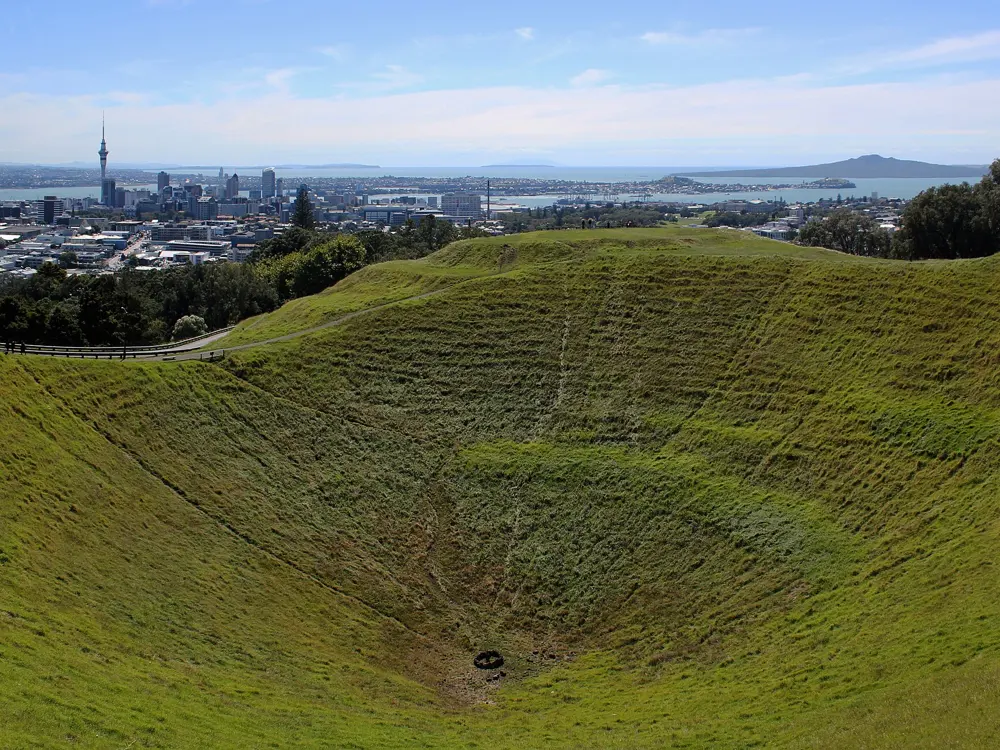
Auckland is built round a harbour and a field of volcanic cones, and runners use both. Tamaki Drive follows the Waitematā waterfront east past a string of bays with Rangitoto Island offshore, and Maungawhau/Mount Eden, the highest volcano in the city, gives a short, sharp climb to a crater rim with the whole city below. The Auckland Marathon adds the one thing you cannot do on any other day: run across the Harbour Bridge.

The route

Tamaki Drive starts at Dove-Myer Robinson Park, by the rose garden, and runs about 8.1 km east to the end of the path at St Heliers, past Okahu Bay, MJ Savage Memorial Park and Mission Bay; start downtown at Silo Park and you add about 3 km. For a long flat run, locals start at St Mary's Bay, pass under the Harbour Bridge, go round the tank farm and carry on along Tamaki Drive, about 30 km in all. Maungawhau's summit road has been closed to private vehicles since January 2016, and a boardwalk now circles the crater rim. The marathon starts at King Edward Parade in Devonport, runs through Takapuna, onto the Northern Busway and over the bridge, past Westhaven Marina and the Viaduct, out to St Heliers and back to Victoria Park.

When to go

Spring and autumn are mild. February is the muggiest month, and rain falls through the year, most in July, so carry a light shell. The 2026 Auckland Marathon is on Sunday 1 November; the start, based on 2025, is 6 am.

Getting there

Buses run regularly between downtown and St Heliers, which makes a one-way waterfront run easy. Maungawhau is at 250 Mount Eden Road, a short run south of the city centre.

Permits and booking

Running is free. Maungawhau's main gate opens from 7 am to 8.30 pm in summer and 7 am to 7 pm in winter; dogs must be on a lead. Marathon entries are open through the race website. The busway and motorway section is open only to runners on race day.

How hard it is

Easy on the waterfront: Tamaki Drive is flat, with short sandy stretches at Mission Bay and St Heliers. The path is shared with cyclists and rollerbladers. Maungawhau is short but steep. The marathon's first half is rolling and the second flat, with two small bridge rises, and cut-offs include Smales Farm at 10 km by 7.45 am and the St Heliers turn at 31 km by 11.16 am.

Where to sleep

The Viaduct and the city centre put you close to the waterfront; Devonport is a ferry ride away and handy for the marathon start.

Tips

  • Run Tamaki Drive early on weekends, before the bike and skate traffic builds.
  • Stay on the boardwalk at the summit of Maungawhau; it protects the remains of the pā.
09 / 10

Falls Creek

Victorian Alps, Australia

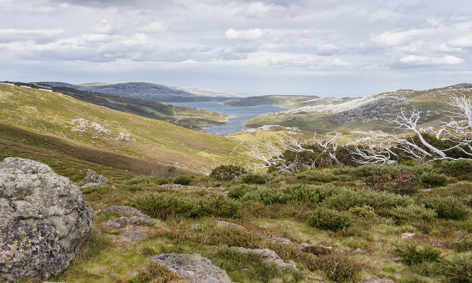
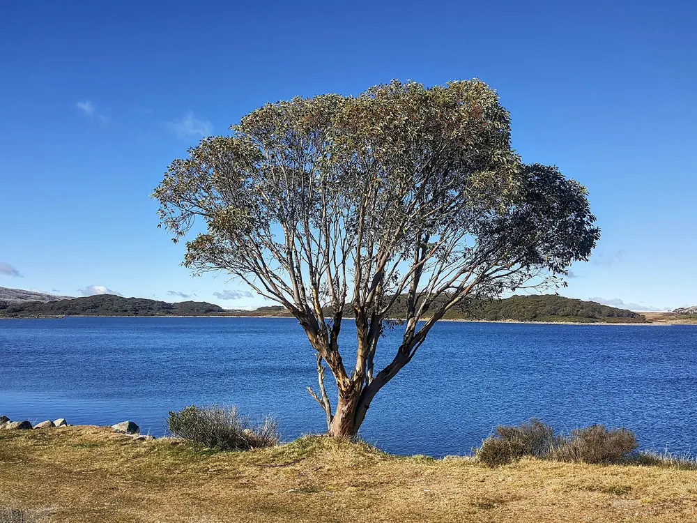
Rocky Valley Lake among green alpine hills and snow gums on the Bogong High Plains

Photos: Faj2323 (CC BY-SA 4.0), Tom Reynolds from Melbourne, Australia (CC BY 2.0), DumindaRanasinghe (CC BY-SA 4.0), Tom Reynolds from Melbourne, Australia (CC BY 2.0)

Distance
45 km of aqueduct trails
Altitude
1,600 m and above
January high
18 °C on average
From Melbourne
4½ hours by car

Why go

Every January Australia's distance runners move up to Falls Creek, a ski village on the Bogong High Plains that becomes the country's altitude training camp in summer. Runners first came in an organised way in the 1960s, when the Australian Olympic Federation studied high-altitude venues before the 1968 Mexico City Olympics, and Ralph Doubell, the Mexico 800 m champion, is said to have found the grassy aqueduct trails at Langford's Gap. Olympians such as Stewart McSweyn have trained here since, and on a summer morning hundreds of runners share a single session.

The route

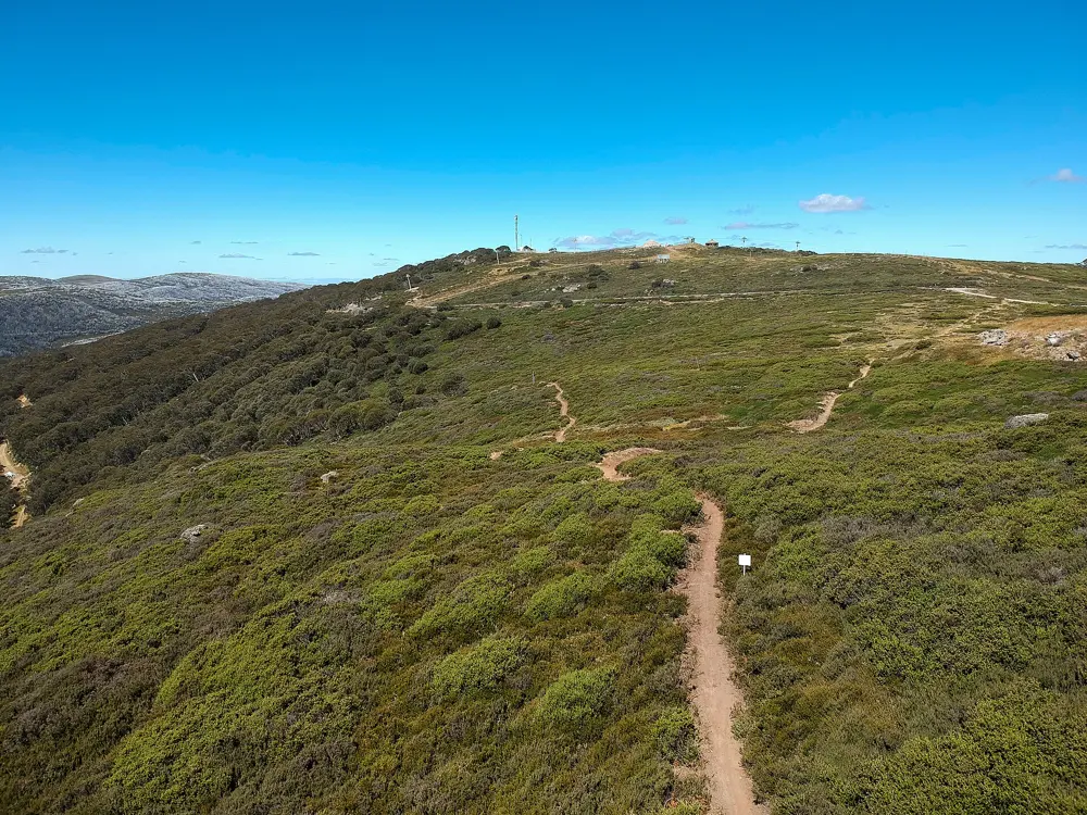
The resort has a 45 km network of flat aqueduct trails at 1,600 m and above, plus more rolling tracks across the High Plains. Langford's Gap is the classic start for long runs and faster work on the aqueducts. Other routes in the training canon are the Tower, about eight miles round Rocky Valley Dam from the village; the Pretty Valley loop of about 30 km round Rocky Valley Lake; a ridge climb to Spion Kopje; a rough four-wheel-drive track over a ridge to Fitzy's Hut; and a 10 mile loop round Mount McKay, 1,850 m, the highest point in Australia you can drive to. Rocky Valley Lake also holds a 2 km open water rowing course.

When to go

Summer, when the average January high is 18 °C. The 1,500 to 1,850 m range is the one the resort cites for altitude benefits, and it suggests camps of 10 to 14 days. The weather changes fast: one week can bring rain, sun, cold wind and cloud, and bushfire threats since 2000 have included an evacuation.

Getting there

Falls Creek is 4½ hours' drive from Melbourne, up the mountain road from Mount Beauty.

Permits and booking

None in summer. Resort entry permits apply only in the declared snow season and stopped being required from 7 September 2026; outside winter there is no permit or parking booking.

How hard it is

The aqueduct trails are easy underfoot and flat, but the altitude makes every run harder than at sea level. The High Plains tracks are rougher, with creek crossings and steep climbs.

Where to sleep

More than 3,000 beds stay open all year, from backpacker rooms to apartments and lodges. Team camps can book self-contained lodges with a chef.

Tips

  • Pack tights, a long-sleeved top and a rain jacket: runs can start cold and end wet.
  • Plan at least 10 days to get the benefit of the altitude.
10 / 10

Kings Park and the Swan River bridges

Perth, Western Australia, Australia

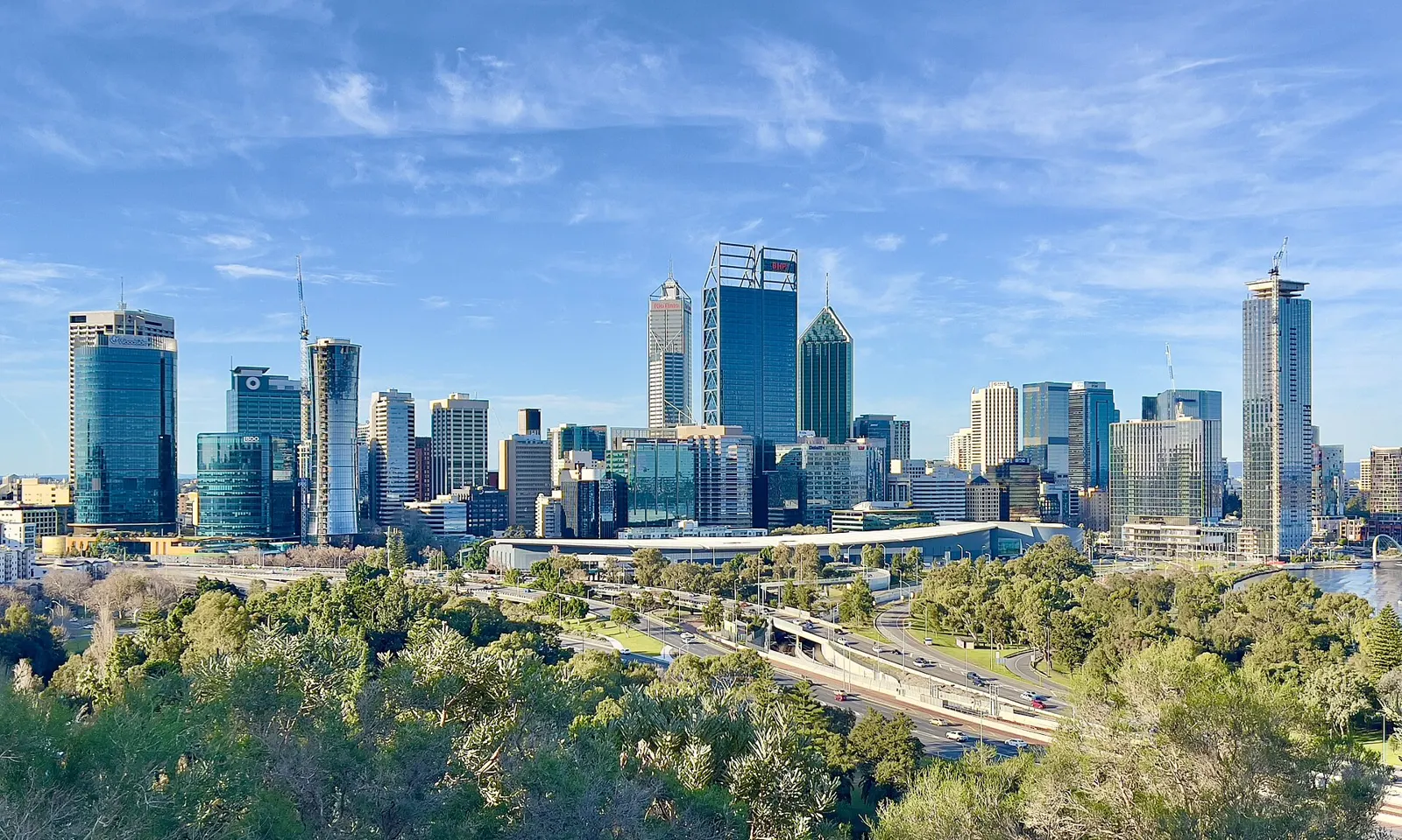
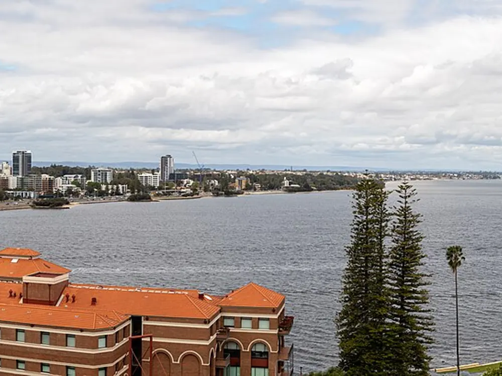
Perth's skyline and the Swan River seen from the State War Memorial lookout in Kings Park

Photos: Chris Olszewski (CC BY-SA 4.0), Calistemon (CC BY-SA 4.0), Calistemon (CC BY-SA 4.0), Dietmar Rabich (CC BY-SA 4.0)

Distance
9.6 km, the Bridges loop
Kings Park
400.6 hectares, open at all times
Jacob's Ladder
242 steps
Climb
34 m on the Bridges loop

Why go

Perth's runners have two classics beside the city centre. Kings Park covers 400.6 hectares of Mount Eliza above the CBD and Perth Water, two-thirds of it kept as native bushland, with the 18 hectare Western Australian Botanic Garden inside and more than five million visitors a year. Below it, the Swan River makes a near 10 km loop between two bridges. Between the two, Jacob's Ladder has carried people up the cliff since 1909 and is a popular place to exercise.

The route

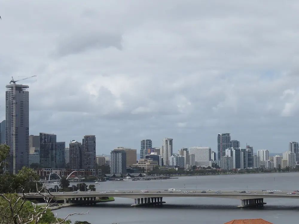
The Bridges loop is 9.6 km on a paved shared path round Perth Water, crossing the Narrows Bridge, the Causeway and the Elizabeth Quay Bridge, with only 34 m of climb. Its official start is the Wesley College Boatshed in South Perth, though most people start at Elizabeth Quay or the Bell Tower. Purists run it anticlockwise. A 3.3 km gravel loop of Heirisson Island adds distance. In Kings Park, a 5.6 km route follows much of the perimeter on the Boomerang, Speargrass, Goanna and Hacketts paths, and Broadwalk Vista runs straight from the DNA Tower to May Drive. Jacob's Ladder climbs 242 concrete steps from Mounts Bay Road to the top of Cliff Street, at the north-east corner of the park.

When to go

Spring, September to November, and autumn, March to May, are the most comfortable. Summer averages 30 to 35 °C and peaks in February, though the Fremantle Doctor, an afternoon sea breeze, cools things off. Winter is the wettest season, with highs of 18 °C or more.

Getting there

Elizabeth Quay station, on the Joondalup and Mandurah lines, is right by the loop. Bus 935 runs into Kings Park and turns round near the State War Memorial.

Permits and booking

Kings Park and the river paths are free and need no permit, and the park is open at all times. Jacob's Ladder has closed for repairs before: for three months after a landslide in 2010, and for three weeks after a deliberately lit bushfire in November 2023.

How hard it is

Easy on the Bridges loop, with water fountains and toilets at regular intervals. About two-thirds of Kings Park is on dirt bush paths, shaded and gently rolling. Jacob's Ladder is short but steep; locals run repeats.

Where to sleep

The CBD and Elizabeth Quay put you on the loop. South Perth, across the water, is quieter and close to the official start.

Tips

  • In summer, run at dawn and use the shaded bush paths in Kings Park.
  • If you get lost in Kings Park, head south to Mounts Bay Road between the park and the river.

Sources

Distances, heights, seasons and permit rules were checked against these pages. Rules change, so check the park or trail authority before you go.