Japan takes its running seriously: the Hakone Ekiden, a university relay into the mountains, has been run since 1920, and the NAHA Marathon drew more than 25,000 entries within nine days. These ten go from Sapporo in the north to Okinawa in the south, taking in the moat loops of Tokyo and Osaka, the lakes under Mount Fuji, Kyoto's river paths and old pilgrim trails in the mountains.
For each place you get the classic runs, the best season, how to get there, race entry rules and park rules, how hard it is and where runners stay. Every fact comes from race organisers, tourism bodies or the other pages linked at the bottom.
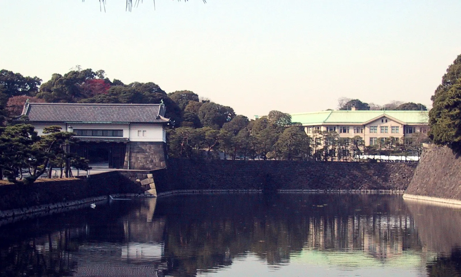
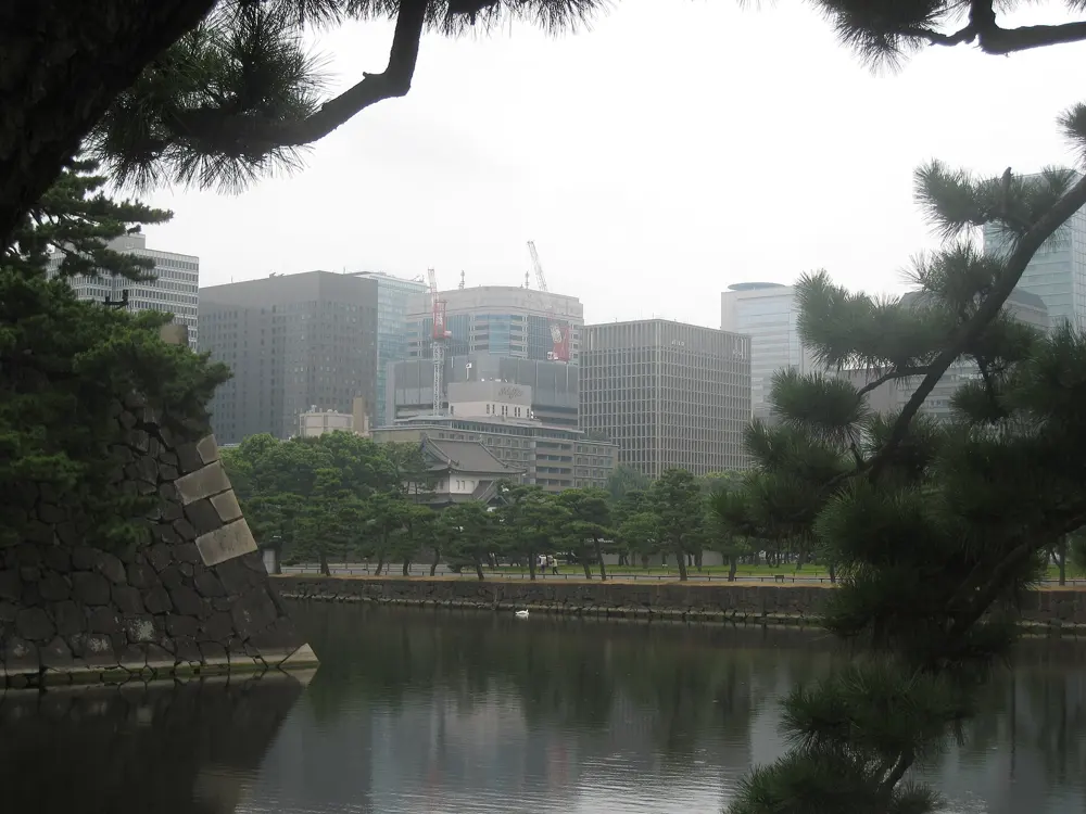
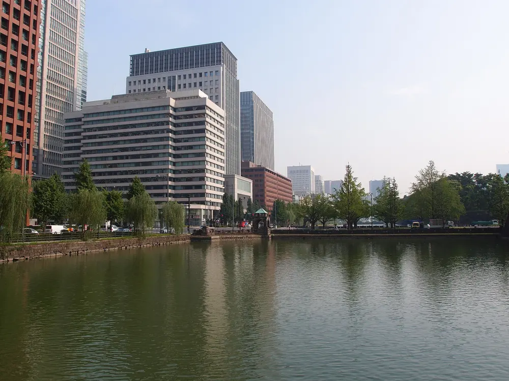
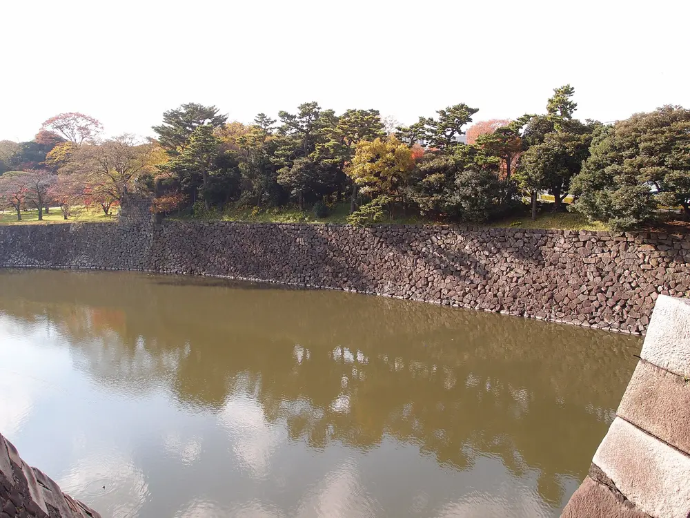
The path around the Imperial Palace is the most famous run in Japan, a lap of the old Edo Castle grounds where the Imperial Family now lives. You run beside wide moats and tall stone walls, with the towers of Marunouchi on one side and pines on the other. Because there are no traffic lights on the outer loop, you can run a full lap without stopping, which is rare in central Tokyo.
The route
There is no fixed start, so join the loop wherever suits you. Starting at Hanzomon, the high point, the path drops toward Sakuradamon and passes the Nijubashi bridges at the palace's main entrance and then follows the moats north. From Takebashi the second half climbs back to Hanzomon, past Chidorigafuchi, the moat famous for its cherry trees. Two or three laps make a good long run.
When to go
Mornings and daytime are best, and some stretches are still dark at night. Cherry blossom season brings big crowds to Chidorigafuchi, and the path is also busy at lunchtime and after office hours. In July and August, run early in the day.
Getting there
Tokyo Station is about a ten minute walk from the palace. Hanzomon, Sakuradamon, Takebashi and Otemachi subway stations all sit close to the loop.
Permits and booking
No permit or fee is needed to run. The Ministry of the Environment, which manages the Outer Garden, asks everyone circling the inner moat to go anticlockwise. Groups of 20 or more need its approval, and no group use is allowed from 15 March to 15 April. Pedestrians have priority on the shared footpath, so keep left, go single file where it narrows and pass on the right only when it is safe. Running on the gravel plaza is not allowed. The Tokyo Marathon, Japan's largest with a record 40,000 runners, holds its 20th race on 7 March 2027 and finishes at the Wadakura-Gate intersection (general entry closed in August 2026).
How hard it is
This is an easy city run on paved footpath. The only real climb is about 30 m from Takebashi up to Hanzomon. The hazard is people: walkers, tourists and cyclists share the path, and it gets crowded at peak hours.
Where to sleep
Hotels around Tokyo Station and Marunouchi put you a short walk from the loop. Runner stations near the course rent lockers and showers: JOGLIS is three minutes from Hanzomon Station, ASICS Run Tokyo Marunouchi three minutes from the Marunouchi South exit of Tokyo Station, and there is a Runners Station near Kojimachi Station.
Tips
Start at Hanzomon to get the downhill first and finish on the climb.
Walk the crowded stretch by Nijubashi rather than weaving through visitors.
Check opening hours at the runner stations before you go, as they change.
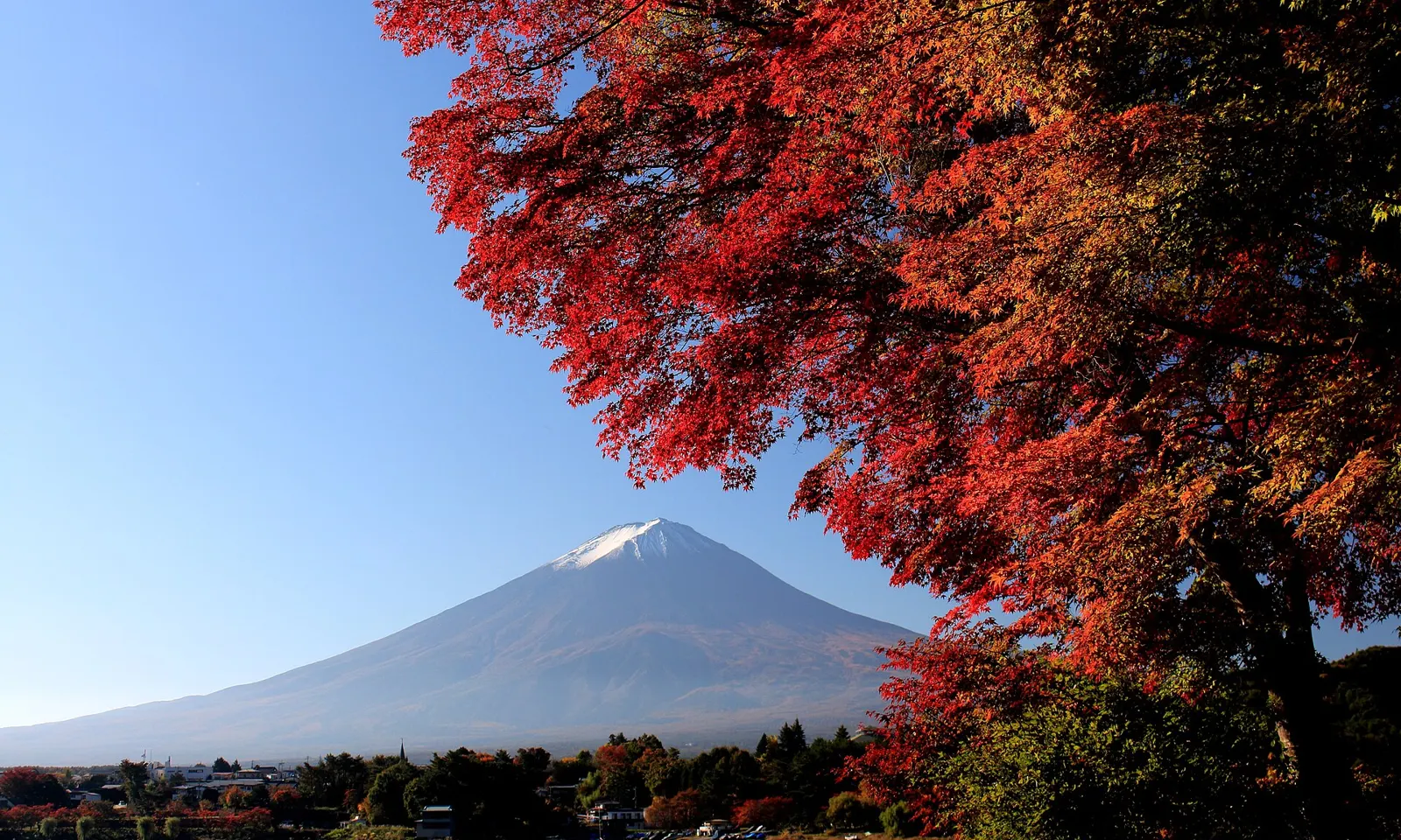
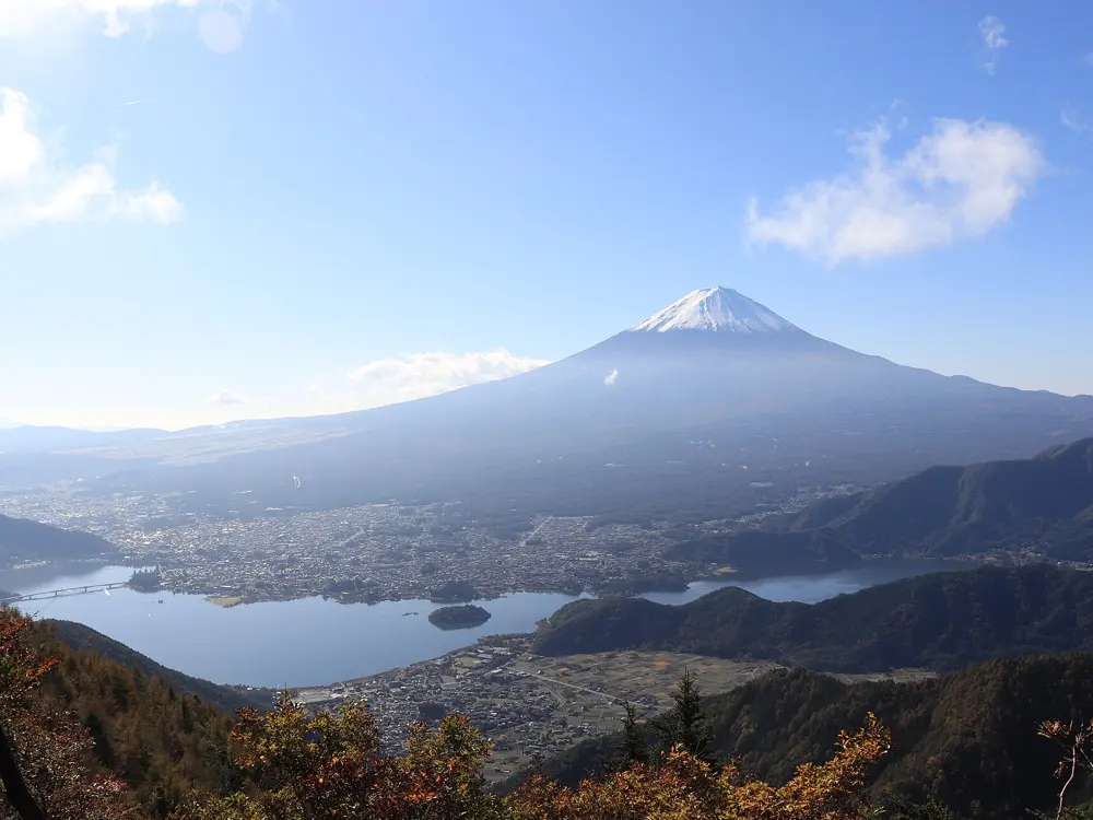
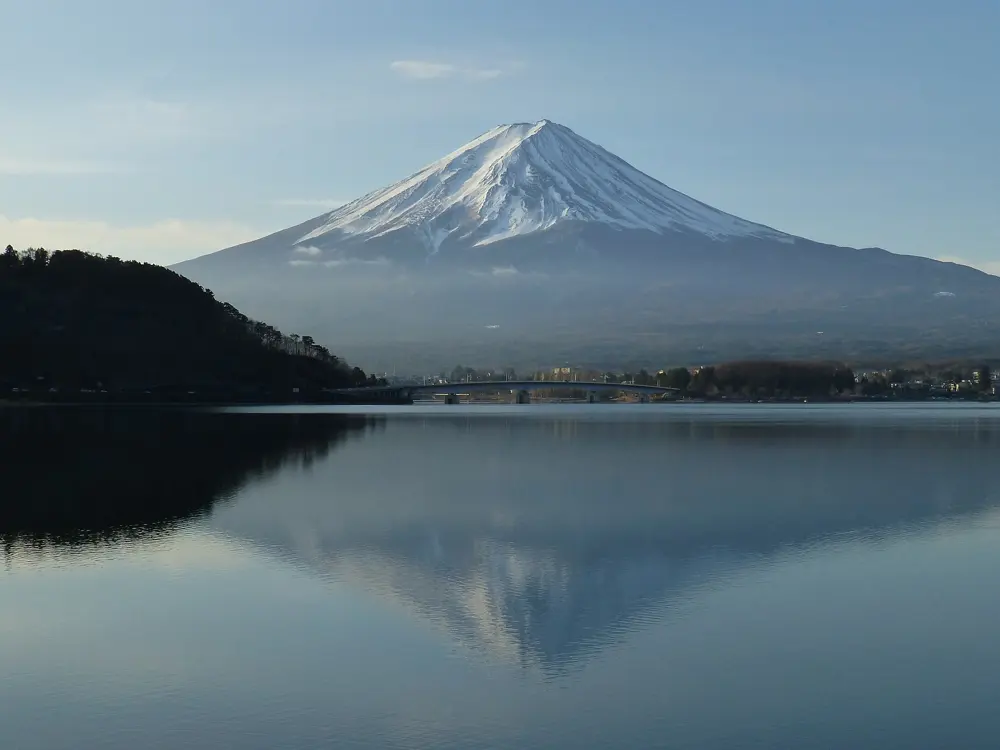
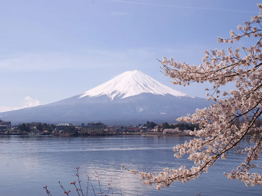
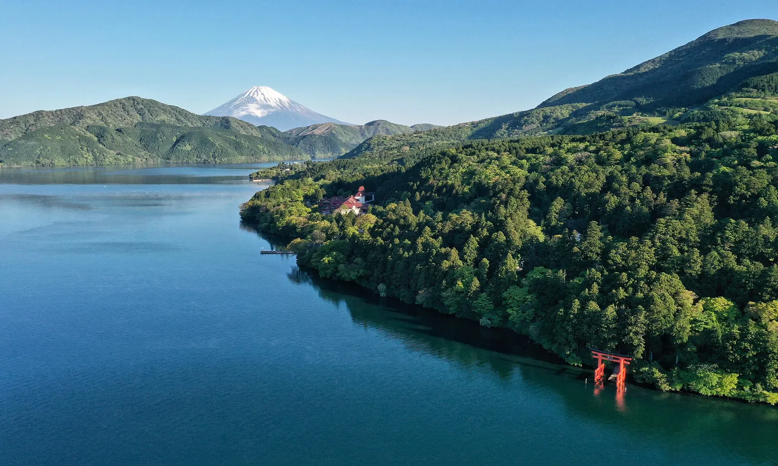
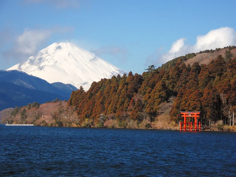
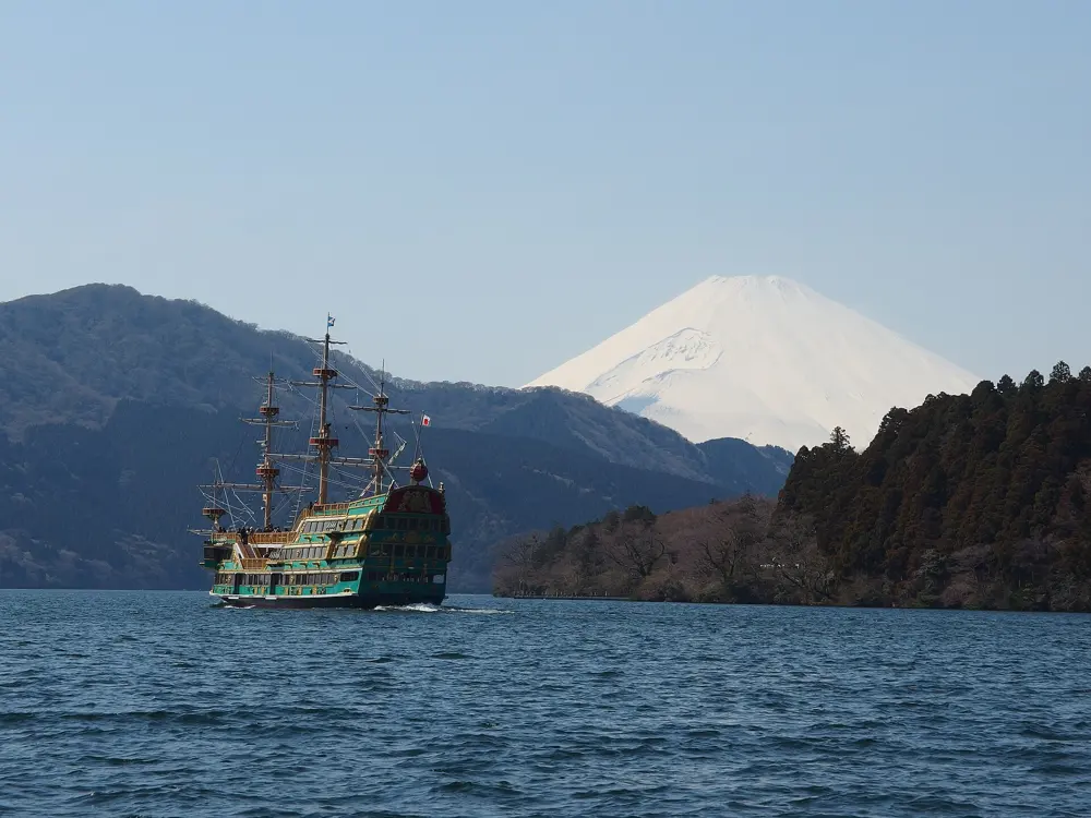
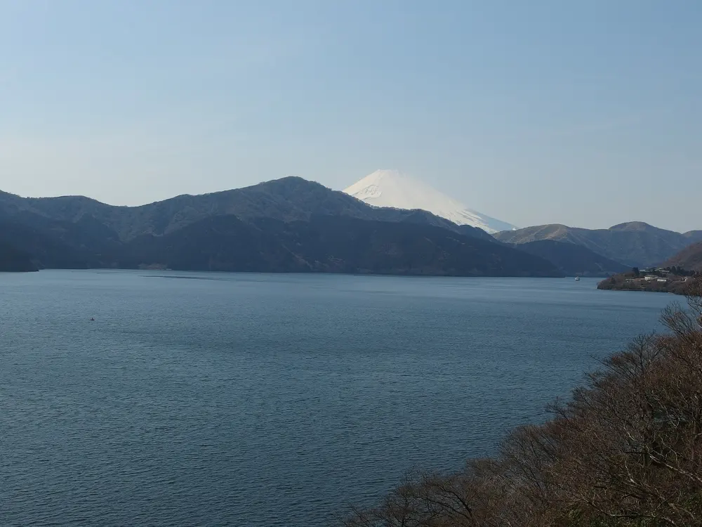
The lakes at the northern foot of Mount Fuji give one of the best-known running backdrops in Japan: flat lakeshore roads with the volcano filling the view. Fujikawaguchiko hosts the Mt. Fuji International Marathon, and neighbouring Fujiyoshida holds the Fuji Mountain Race, which climbs from the city hall to the summit of Japan's highest mountain.
The route
One lap of Lake Kawaguchi is 17 km, the distance of the marathon weekend's Around Kawaguchiko race. Great Runs picks out a 6.4 km stretch of the shore as the best of it, from Yagizaki Park past Kawaguchiko Bridge, the museum area, Nagasaki Park and Oishi Park. Lake Yamanaka has a 13.4 km loop with about 60 m of climbing, mostly on a paved path beside the road; its north side is the nicest part. The marathon is a 42.195 km loop of Lake Kawaguchi and Lake Saiko with about 239 m of climbing and one long climb between km 20 and 27. The Fuji Mountain Race leaves Fujiyoshida City Hall and follows the Yoshida Trail: about 21 km and 3,000 m of climbing to the summit, or about 15 km and 1,480 m to the 5th Station.
When to go
December is the clearest month for views of Fuji, with race-morning temperatures of about 3 to 8°C, and the 15th Mt. Fuji International Marathon is on 12 and 13 December 2026. The Fuji Mountain Race is run in July: the 2026 race was on 24 July. The Yoshida Trail climbing season ends on 10 September, and the trail from the 5th Station to the summit is closed in winter.
Getting there
Highway buses from Busta Shinjuku reach Kawaguchiko Station in about 105 minutes; the JR Chuo Line and the Fujikyu Railway take about 2 hours. The marathon starts and finishes at the Funatsuhama Hirahama car park, about a 7 minute walk from Kawaguchiko Station.
Permits and booking
No permit is needed for the lakeside paths. The marathon has a 6 hour limit and, one race guide reports, international general entry for 2026 has sold out. The summit course of the Fuji Mountain Race is only open to runners who passed the 5th Station checkpoint within 2 hours 20 minutes in one of the three previous races, or reached the 5th Station within 2 hours in the Fuji Climb Run. The field is capped at 3,776.
How hard it is
The lake loops are easy. The mountain race is another matter: summit runners start at 7:00 and must pass the 5th Station by 9:15, the 8th Station by 11:00 and reach the top by 11:30.
Where to sleep
Fujikawaguchiko has hotels and ryokan of every kind, among them Hotel Mifujien, Komaya Ryokan and the upmarket Hoshinoya Fuji. Lakeside places near the marathon start fill months ahead of race weekend.
Tips
On Lake Kawaguchi, keep to the stretch between Yagizaki Park and Oishi Park, since other parts of the lakeside road have no pavement or shoulder.
Do not plan to drive on marathon morning, when the roads around the lake are closed.
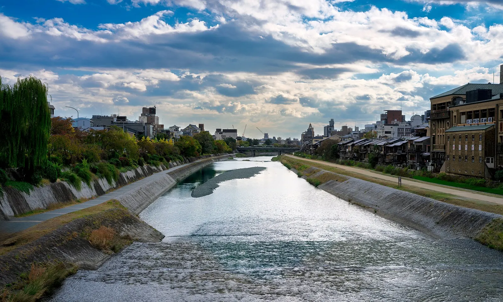
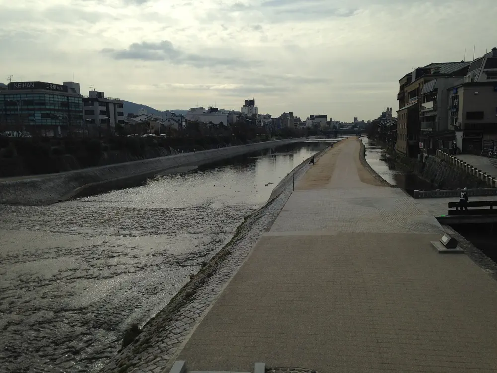
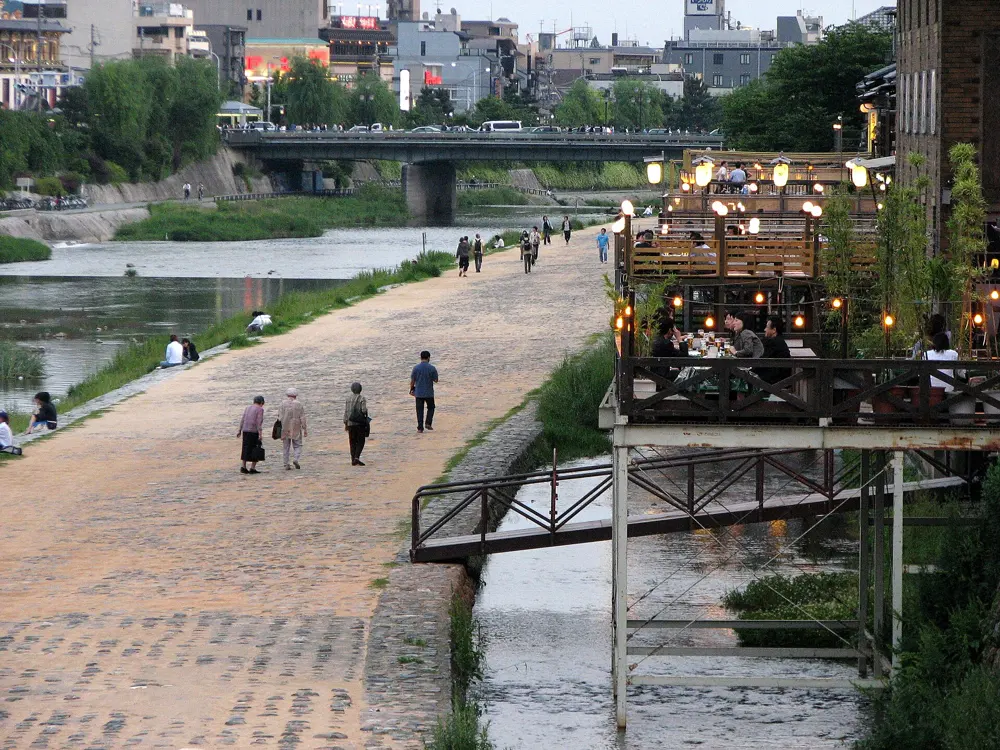
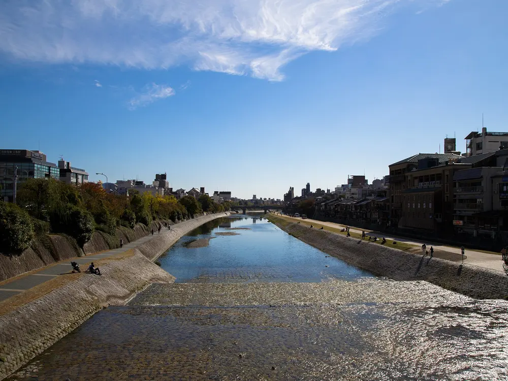
The Kamo River runs north to south through the middle of Kyoto, and paths at water level follow both banks for most of its length, about 19 km in all. It is where the city runs, under a string of bridges and out toward the hills in the north. At Demachiyanagi the river splits, the west branch keeping the Kamo name and the east branch becoming the Takano River.
The route
Kyoto's tourism site sets out three courses, all starting at Kamo Ohashi Bridge. The Marutamachi course is about 2.5 km, by way of Kojinbashi. The Takano course, about 4.3 km, follows the east branch up to Matsugasaki. The longest, about 9.2 km, passes Demachibashi, Aoibashi, Kitaojibashi and Kitayamaohashi on its way to Nishigamobashi. Great Runs measures the west bank from Jujo Dori in the south to Nishigamo Bridge at 11.7 km, 6.4 km of it north of the centre and 5.3 km south. For hills, the Kyoto Trail's Higashiyama course runs about 34.1 km along the eastern mountains from Fushimi Momoyama past the Philosopher's Walk to Mount Hiei, and Fushimi Inari has a 4 km climb through its gates on paths and steps. The Kyoto Imperial Palace park, about 1 km from the river, adds flat loops roughly 1.3 km long and 0.7 km wide.
When to go
The river is runnable all year and is busiest in cherry blossom season. The city warns that water levels can rise high in bad weather, so keep off the lower paths after heavy rain. The Kyoto Marathon is on Sunday 21 February 2027, starting at 9:00.
Getting there
Nozomi trains on the Tokaido Shinkansen take about 140 minutes from Tokyo to Kyoto. Jingu-Marutamachi Station is a good central start, and there are stations near the river all the way from Demachiyanagi down to Tobakaido.
Permits and booking
No permit is needed to run by the river. The Kyoto Marathon runs from TAKEBISHI Stadium Kyoto in Nishikyogoku Athletic Park to the front of Heian-jingu Shrine, with up to 16,000 runners and a 6 hour limit. Runners must be born before 1 April 2008 and able to finish in that time. Overseas applications are first come, first served; oversubscribed events go to a lottery.
How hard it is
Easy. The riverside path is flat and mostly stone surfaced, though you share it with walkers and cyclists.
Where to sleep
Hotels around Sanjo and Jingu-Marutamachi put you a few steps from the river path, with the Imperial Palace park on the far side.
Tips
Start at Kamo Ohashi Bridge and pick one of the three city courses, which run out and back from the same point.
For a hillier session, link the river with the climb through the gates at Fushimi Inari.
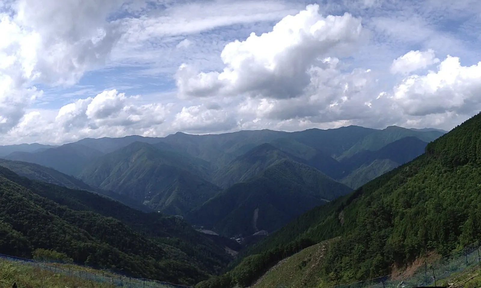
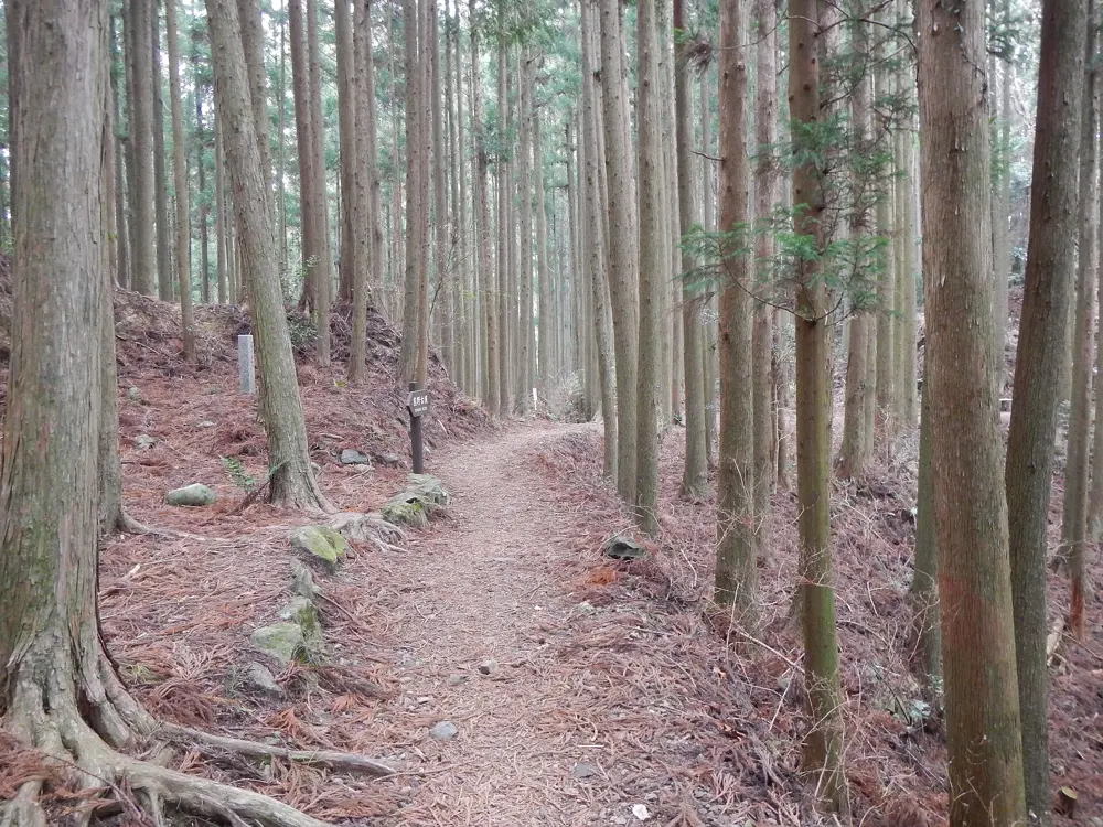
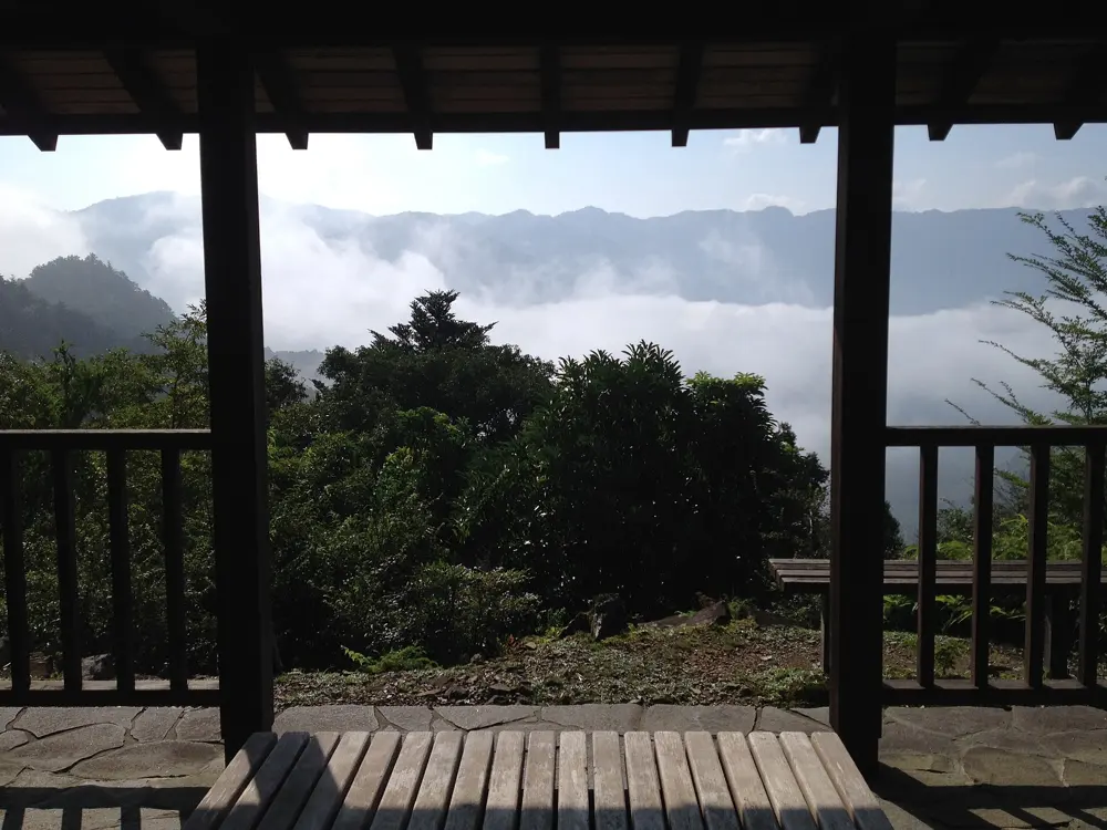
The Kumano Kodo is a web of old pilgrimage routes through the mountains of the Kii Peninsula to the three grand shrines of Kumano. The Nakahechi is the best known, and its forest paths, stone steps and small oji shrines make a superb, quiet trail run. The routes were listed by UNESCO in 2004, as part of the Sacred Sites and Pilgrimage Routes in the Kii Mountain Range, and the listing was extended in 2016.
The route
The World Heritage section starts at Takijiri-oji, with a steep climb in the first few kilometres. Wooden signposts in Japanese and English count from post 1 there to post 75 at Kumano Hongu Taisha, about 37 to 40 km in all, depending on the source. Walkers usually take two days: 13 km to Chikatsuyu-oji, about 5 hours, then 25 km past Tsugizakura-oji, Hosshinmon-oji and Fushiogami-oji to Hongu, about 7.5 hours. From Hongu, the short Dainichi-goe, about 2 km, crosses to Yunomine Onsen, and the Akagi-goe, about 6.5 km, also ends there. The Ogumotori-goe carries on over the mountains to Kumano Nachi Taisha beside Nachi Falls. Taking both walking stages in a single day makes a long trail run; book your bed at the far end first.
When to go
The Nakahechi is open all year, and spring and autumn have the best weather. Rain can come in any season and makes the paths slippery. From late autumn to early spring it gets dark early in the steep valleys, so the prefecture advises arriving between 15:00 and 17:00 and always carrying a light. In summer, drink often to avoid heatstroke.
Getting there
Local buses run from Kii-Tanabe Station to Takijiri-oji, and other local buses reach the villages along the route where the inns are.
Permits and booking
The official guides list rules rather than permits. Stay on the trail, fit rubber tips to trekking poles, and avoid spiked or hard-soled shoes, which damage the old cobbles. Book accommodation ahead: turning up at an inn without a booking is not culturally appropriate. Carry out all rubbish and take nothing from the trail.
How hard it is
A hilly mountain trail with steep climbs, roots and stone steps that are slick when wet. The prefecture lists the Asiatic black bear, the Japanese pit viper, the Asian giant hornet and the giant centipede among the creatures to watch for. Toilets are few, so check their locations on the local maps.
Where to sleep
Chikatsuyu is the usual overnight stop on the way to Hongu, and Yunomine Onsen is a short walk beyond it. Luggage shuttle services run along the route, so you can run light between inns.
Tips
Carry a paper map as well as your phone, and check official sites for path closures rather than social media.
Be quiet and respectful at the shrines along the way; many walkers come as pilgrims.
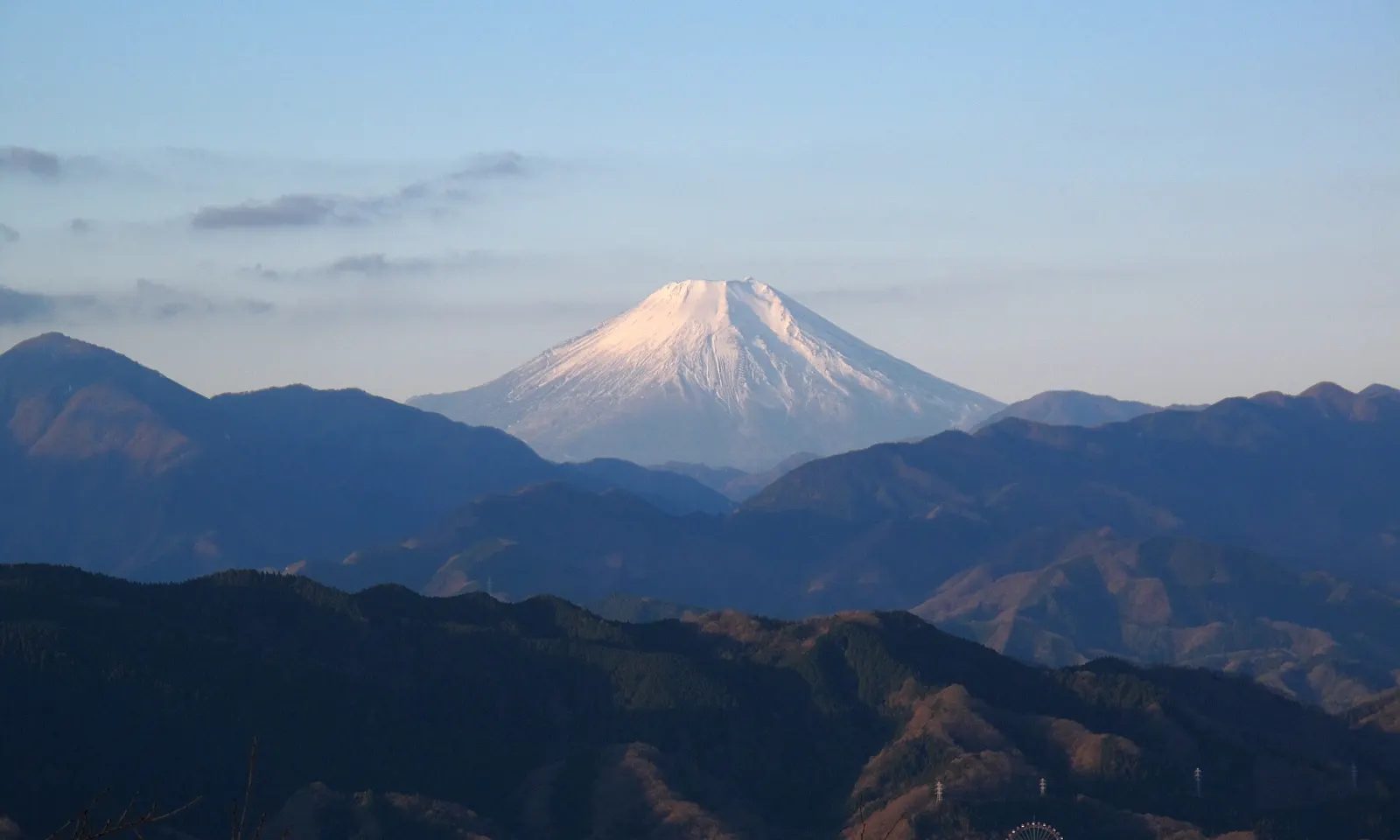
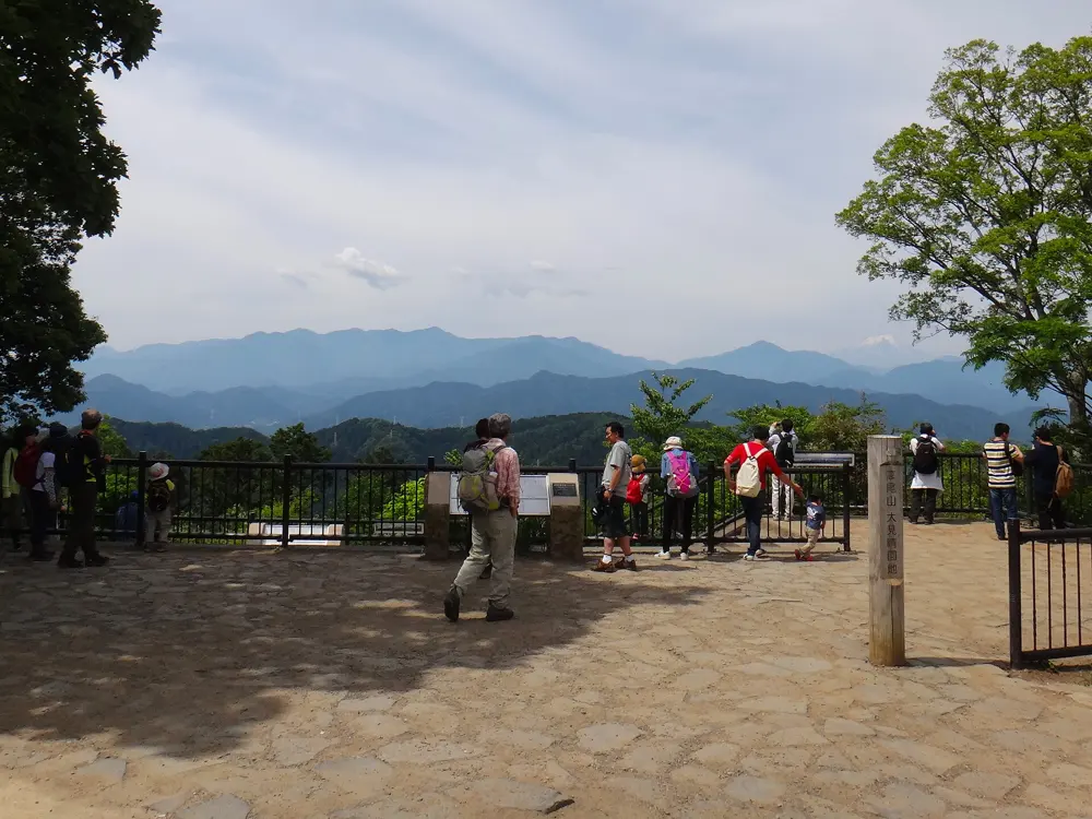
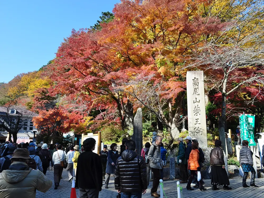
Mount Takao is Tokyo's own mountain, 599 m high and within an hour of the city centre, and gets more than 2.5 million visitors a year. It sits in Meiji no Mori Takao Quasi-National Park, with the Buddhist temple Yakuoin on its slopes and, on clear days, Mount Fuji in view from the top. For runners it is the start of the long ridge west to Mount Jinba, the classic ridge run west of Tokyo.
The route
Trail 1, the paved main approach past the temple and the top stations of the cable car and chairlift, is for walking: Tokyo's nature park rules ask everyone to keep to a walking pace on it. Runners use the other trails instead, such as the Inariyama Trail, which starts to the left of the cable car, or Trail 6 along a stream. From the summit the ridge continues to Shiroyama (670 m), Kagenobu (727 m), with views to Sagami Bay, down to Kobotoke Pass, over Dosho (731 m) and Meio-toge, and up to Mount Jinba, about 855 m, with its concrete horse statue and a view of Fuji. Takaosanguchi Station to the Jinba Kogen Shita bus stop is 17.2 km, with a climb of 665 m.
When to go
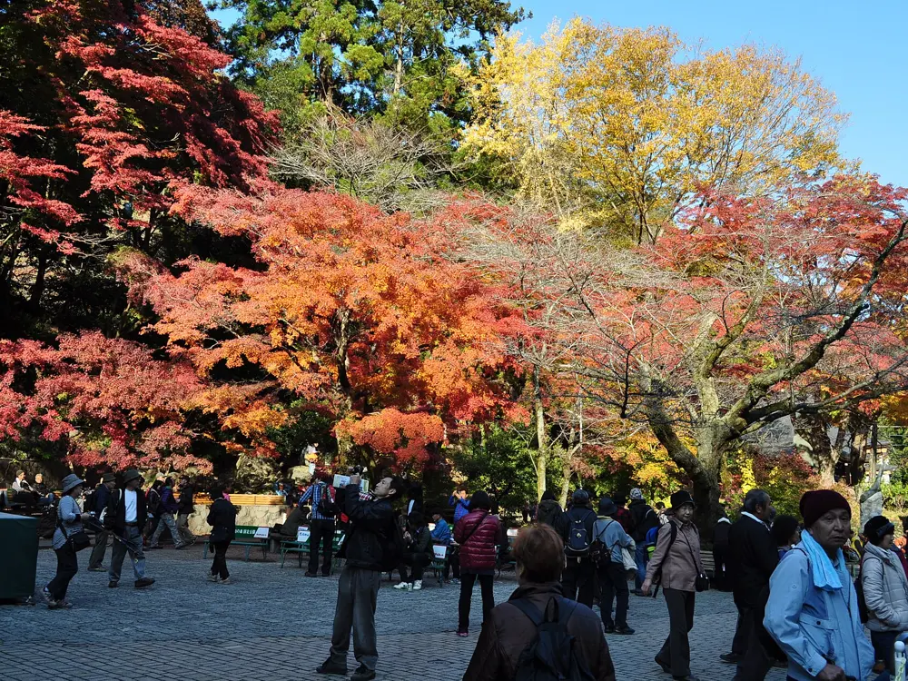
The mountain is busy all year and most crowded in autumn and at weekends. Start as early as you can; on weekends, expect a steady line of walkers coming the other way after Kagenobu.
Getting there
Express trains from Shinjuku take about 50 minutes to Takao. Takaosanguchi Station, at the foot of the mountain, is on the Keio Takao Line, and Takao Station on the JR Chuo Line also serves it. Buses from Jinba Kogen Shita take about 36 minutes back to Takao Station but run only about once an hour.
Permits and booking
No permit is needed. Tokyo's rules for its nature parks ask you to walk on Trail 1, slow down when passing others so they notice you, stay on marked trails, take rubbish home and not feed the wildlife; mountain bikes are not allowed. They also suggest a bear bell. The Ministry of the Environment notes that park footpaths are built for walking, not running.
How hard it is
Takao alone is short: Japan's national tourism site gives 6 km and 411 m of climbing. The traverse to Jinba is longer than it is hard, with a steep section near Shiroyama and many short ups and downs.
Where to sleep
Most runners come for the day from central Tokyo, since Takaosanguchi is under an hour from Shinjuku.
Tips
Run the ridge from Jinba back to Takao if you would rather not race the hourly bus at the end.
Carry a paper map: the ridge path sometimes splits around minor peaks.
The Hakone Ekiden is a university relay from central Tokyo to Lake Ashi and back over two days every New Year, first run on 14 February 1920 by four schools. Its fifth leg, the climb from Odawara into the Hakone mountains, is the hardest stage. You can run the same road, or take the stone-paved old Tokaido highway up the same hills, and finish by a caldera lake with views of Mount Fuji.
The route
The fifth leg is 20.8 km from Odawara. It follows National Route 1 past Hakone-Yumoto Station and reaches its high point of 874 m at 16.2 km, then drops past Moto-Hakone and under the torii of Hakone Shrine at about 19 km to finish at the Lake Ashi car park. The course record, 1:07:16, was set by Asahi Kuroda in 2026. The quieter climb is the old Tokaido: one runner's record gives 10.7 km and 752 m of climbing from Hakone-Yumoto to Lake Ashi. The best-preserved stone paving runs between Hatajuku and Moto-Hakone, past the Amazake Chaya teahouse, and a short cedar avenue follows the lakeshore from Moto-Hakone to Hakone-machi.
When to go
The 103rd Hakone Ekiden is on 2 and 3 January 2027, with the climb on the first day. The road is open to traffic the rest of the year. The old stones are slippery after rain, and a September ascent is warm and humid.
Getting there
Odakyu's Romancecar takes about 85 minutes from Shinjuku to Hakone-Yumoto, for 2,470 yen. Shinkansen trains reach Odawara in about 30 minutes from Tokyo. Bus K runs from Hakone-Yumoto to Hatajuku in 20 minutes (460 yen), and on to Moto-Hakone twice an hour.
Permits and booking
No permit is needed. On Ekiden days there are no tickets or seats: watch from the pavement, and do not stand in the road, hold places with belongings, use stepladders or fly drones near the course. The rebuilt Hakone Checkpoint by the lake charges 500 yen.
How hard it is
Hard. Both routes are long climbs. Route 1 is open to traffic, so run it early and with care. Between Hatajuku and Hakone-Yumoto the old road follows a road with traffic and no pavement, and the cobbles higher up need careful footing.
Where to sleep
Hakone is full of hot spring inns. Masutomi Ryokan and Yoshimatsu both have outdoor baths, and Yoshimatsu runs a free shuttle from the Hakone-machi bus station.
Tips
Ride bus K up to Hatajuku and run the stone-paved section to Moto-Hakone, the best part of the old road.
Amazake Chaya opens from 7:00 to 17:30 every day; its hot sweet rice drink is the traditional reward.
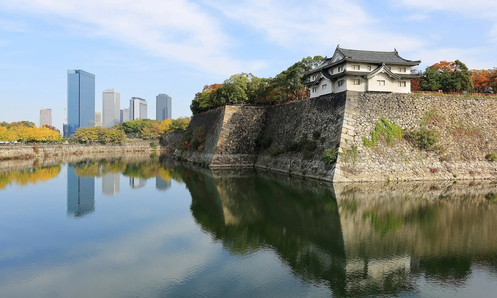
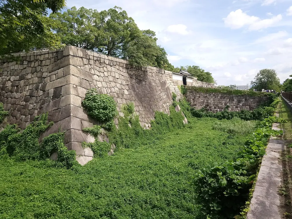
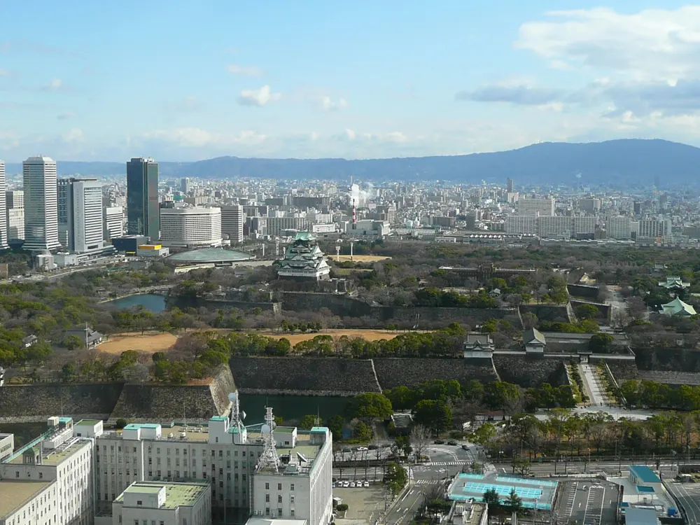
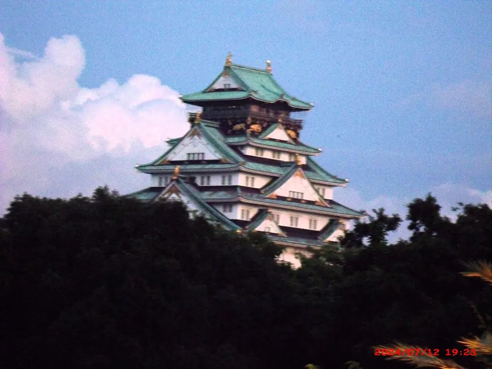
Osaka Castle Park, a Special Historic Site in the middle of the city, is Osaka's running ground: wide paths beneath tall stone walls and two rings of moats, with the castle keep above and the towers of the business district beyond. It is where the Osaka Marathon finishes. For the park's 90th year, in 2021, its jogging course was rebuilt as the Osaka Castle Run and Walk Course, with new maps and signs around the loops.
The route
There are two marked courses. The Long Course, 3.5 km, mostly follows the outside of the outer moat; twelve laps make about 42 km. The Short Course, 2.9 km, takes in the best views of the stone walls and both moats. Running guides say there are kilometre markers, that the two courses together make about 6 km, and that adding the outer perimeter road gives about 10 km. For something longer, Temmabashi Bridge links the park with a 6.3 km riverside loop around Nakanoshima, and the Yodo River paths go on for many kilometres more, wide and paved but without shade.
When to go
October and November and March and April are the best months. Summers are hot and humid, 33 to 35°C, so run before 7:00 or after 18:00; June and July are the rainy season. Early morning, 5:00 to 6:00, the park is almost empty, and in the evening the castle is lit up. Avoid the north and west sides after 22:00, which are poorly lit. The Osaka Marathon is on 28 February 2027.
Getting there
Morinomiya Station serves the park, and Otemon Gate in the southwest corner is a good place to start.
Permits and booking
The outer moat loop is free and open 24 hours; only the castle keep needs a ticket. The Osaka Marathon runs from the Osaka Prefectural Government Building to the park with a 7 hour limit and waves from 9:15. Its 2027 lottery closed on 28 August 2026; entrants must be born on or before 1 April 2008.
How hard it is
Easy, with only small rises: Great Runs gives about 31 m of climbing on a 4.2 km lap. The paths are busy with visitors around the castle keep in the middle of the day.
Where to sleep
Hotels around the park and Kyobashi are a short jog away. Running Base at JO-TERRACE OSAKA, in the park, has lockers, five showers, towel rental and ASICS shoe and clothing rental for about 1,000 yen.
Tips
Use the east side of the park when the west is crowded; it is the quietest part.
Leave your bag at Running Base and shower there afterwards.
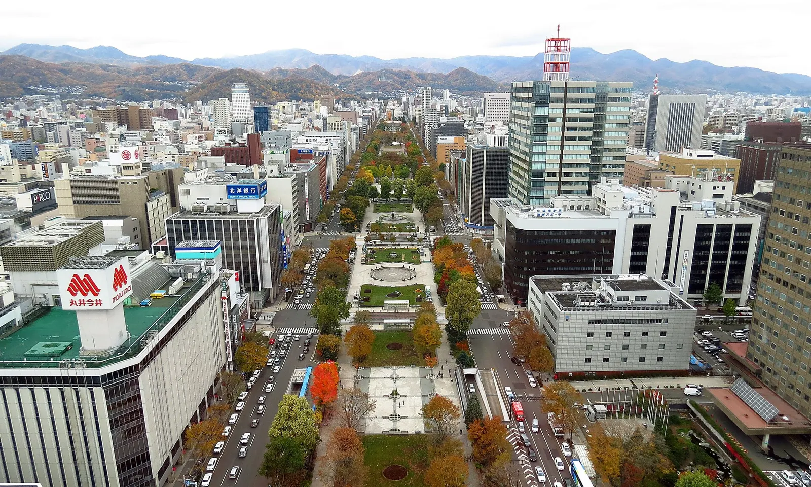
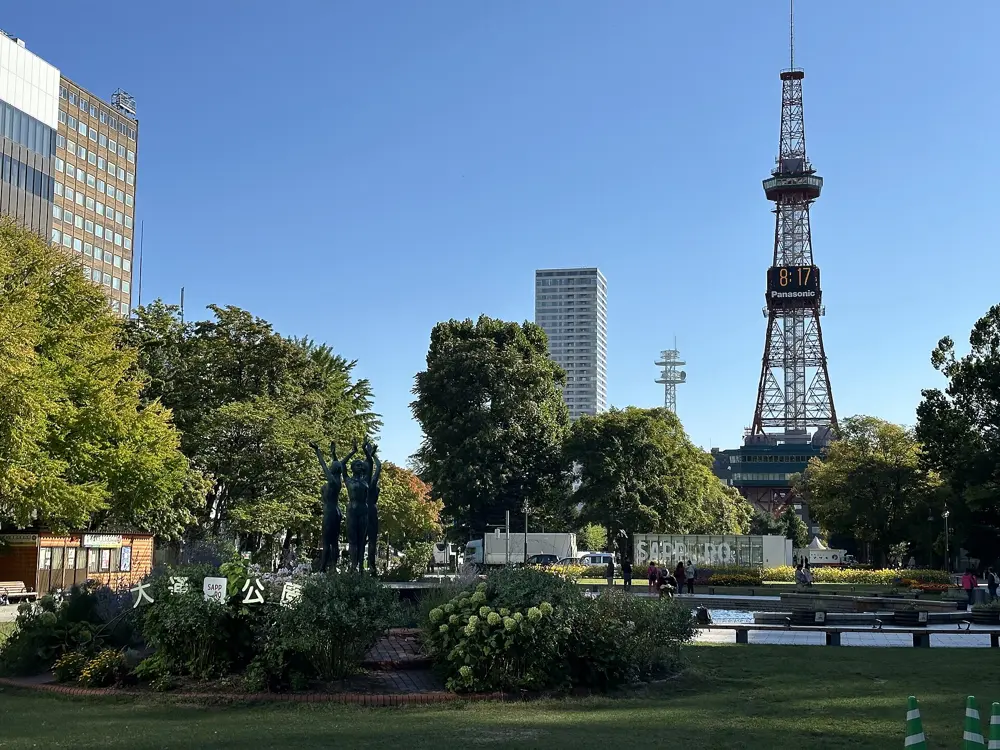
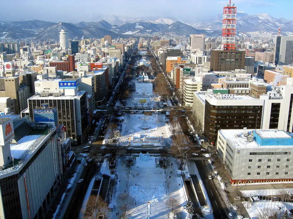
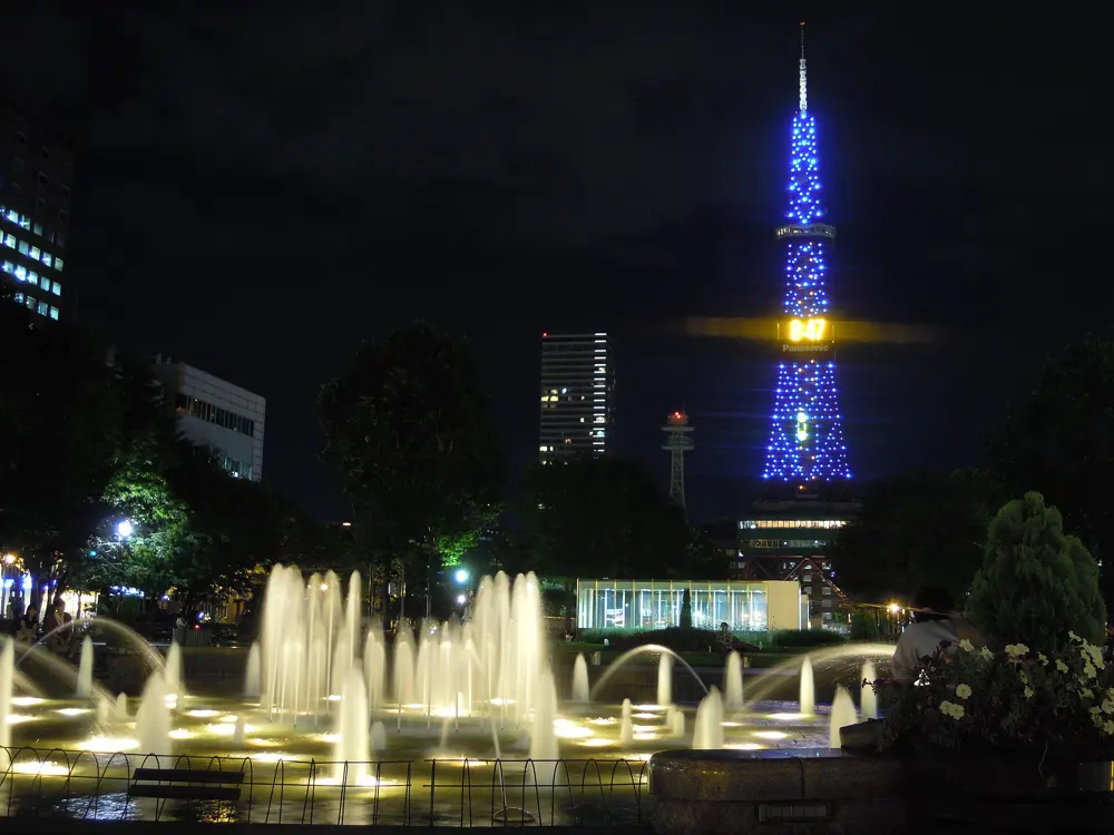
Sapporo has long, unbroken running: a paved path that follows the Toyohira River for many kilometres, parks linked to it, and Odori Park, the green strip that runs through the city centre. The Hokkaido Marathon starts and finishes on Odori, with a field of 20,000, and is part of the Marathon Grand Championship (MGC) Series.
The route
A lap of Odori Park, from the Sapporo Shiryokan at the west end to the Sapporo TV Tower at the east, is about 3 km. Nakajima Park is about 1.3 km away, and from there the river path runs both ways. The best stretch is about 8 km south to Makominai Park, 16 km out and back, and loops of up to 2.5 km in Nakajima Park and just over 5 km around Makominai add more. The north bank has about 25 km of path in all, the south bank about 15 km in pieces. The Hokkaido University campus makes a 7.5 km run past its ginkgo avenue, and Moerenuma Park in the north has a loop of about 10 km. The marathon passes Susukino, Horohira Bridge, the university and the Former Hokkaido Government Office Building.
When to go
Summer and autumn. The 2026 Hokkaido Marathon was on 30 August; the race can be cancelled if the heat index (WBGT) reaches 28°C. The river paths are not cleared in winter, when the university campus is the better option.
Getting there
The Namboku subway line serves Nakajimakoen, Horohirabashi and Makominai stations, so you can run the river one way and ride back. Odori and Nishi 11-chome stations are by Odori Park.
Permits and booking
No permit is needed. The Hokkaido Marathon costs 16,500 yen for Japan residents and 22,000 yen from overseas, plus a service charge. It has a 6 hour limit with eleven cut-offs, the first at 1.2 km, 20 minutes after the second wave starts.
How hard it is
Easy and flat on the river and in the parks. The first marathon cut-off comes only 20 minutes after the start.
Where to sleep
Hotels around Odori Park and Sapporo Station put you a short run from the park and about 1.3 km from the river at Nakajima Park.
Tips
Run Odori, the river path and a Nakajima Park loop for a central circuit, as Great Runs suggests.
Take the Namboku Line back from Makominai rather than running out and back.
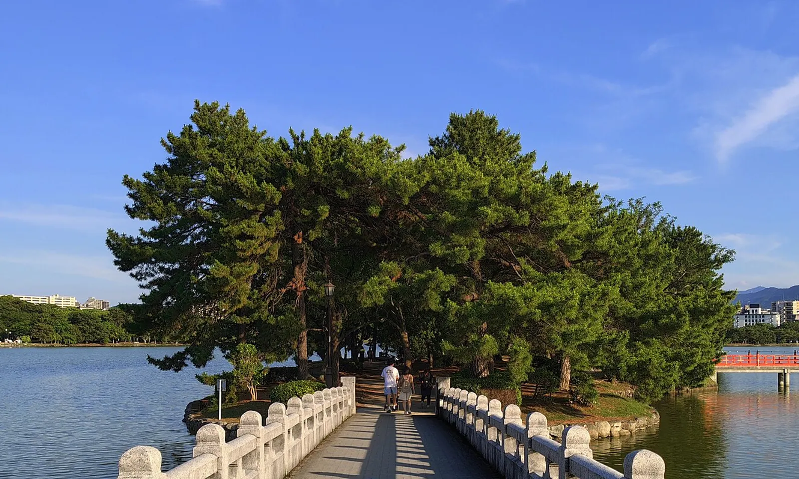
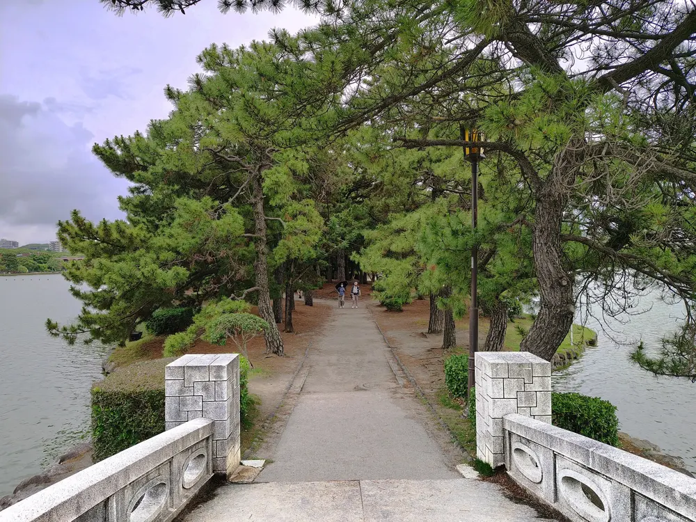
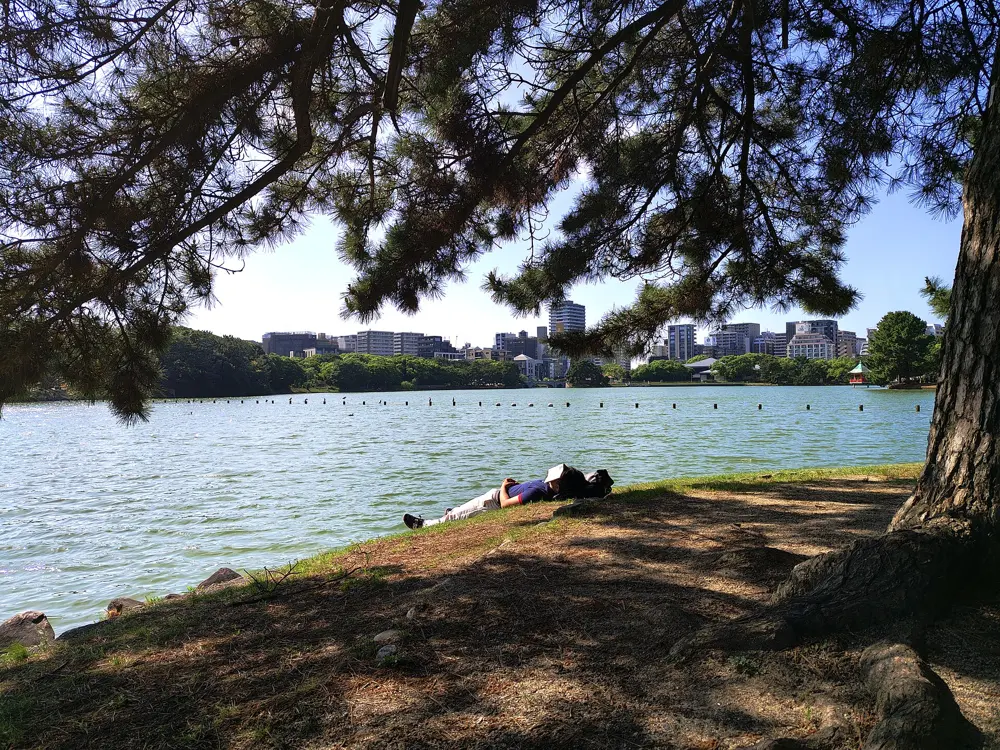
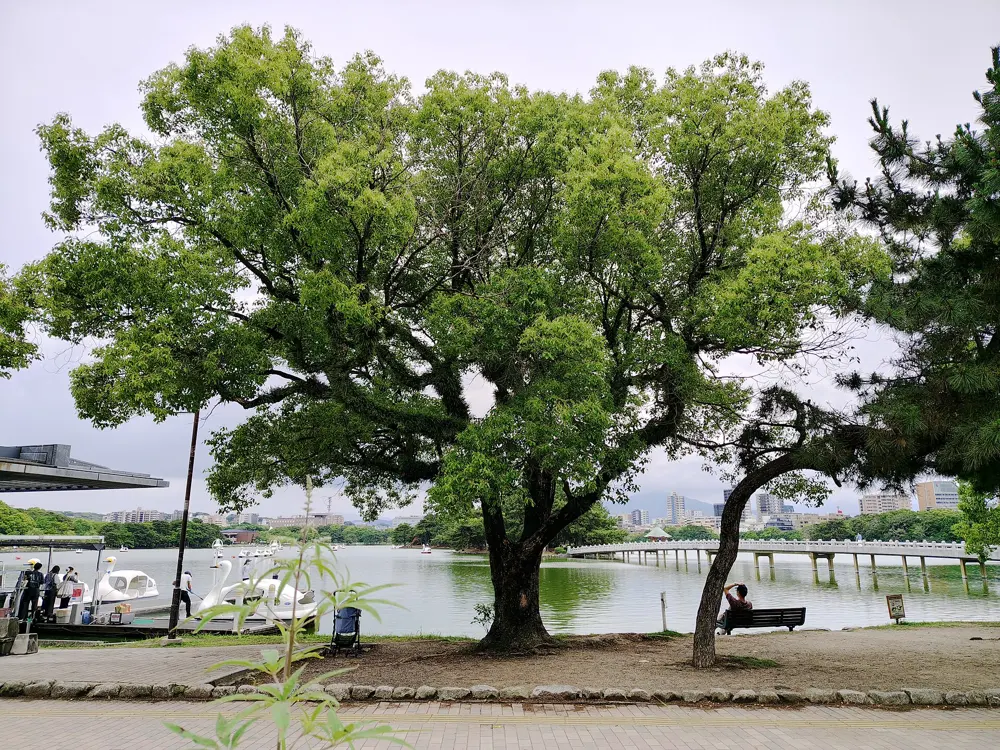
Ohori Park, about 2 km from Tenjin in central Fukuoka, is one of the best purpose-made running loops in Japan: a flat circuit around a large pond, with a cushioned lane kept for runners. The park opened in 1929, and its pond is a Registered Monument of Japan. Around the edge sit the Fukuoka Art Museum, a Noh theatre built in 1986 and a Japanese garden opened in 1984, with a pond, a stream, a dry landscape garden and a teahouse across 12,000 square metres.
The route
The loop around the pond is about 2 km. Runners use the yellow rubber-chip track, with brick paths for strolling and asphalt for cyclists, and distance markers show how far you have gone. A path of about 0.8 km crosses the middle of the pond by the islands. To the east, Maizuru Park, by the Fukuoka Castle ruins, has a running track, and multi-use paths lead north to Nishi Park and the Momochi Seaside Park area for a longer run. The Fukuoka Marathon starts in Tenjin and runs west to Itoshima.
When to go
Any time of year, early or late in the day in summer. The Fukuoka Marathon is on Sunday 8 November 2026, starting at 8:20. Boats are for hire on the pond from March to early November.
Getting there
Ohorikoen and Tojinmachi stations on the Kuko subway line are about a 7 minute walk from the park. Nishitetsu buses stop at Kuromon and Ohori Park, about 5 minutes away.
Permits and booking
No permit is needed. The Fukuoka Marathon takes 13,000 runners, with 500 places set aside for overseas entrants, and has a 7 hour limit, though entrants should be able to finish within 6 hours 45 minutes. The 2026 entry period ran from 20 April to 20 May with a lottery, and the overseas fee is 30,000 yen.
How hard it is
Easy. The loop is flat, and the rubber surface is kind to legs.
Where to sleep
Hotels in Tenjin are about 2 km away, a natural warm-up to the park. If you drive, the pay car park on the north side opens at 7:00 from October to April and at 5:00 from May to September.
Tips
Keep to the yellow lane; the brick and asphalt paths are for walkers and cyclists.
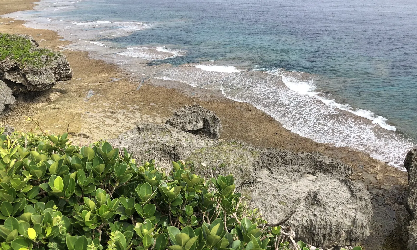
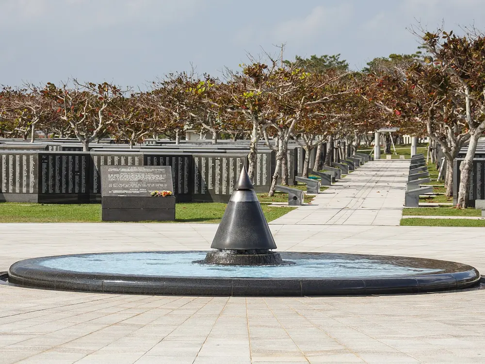
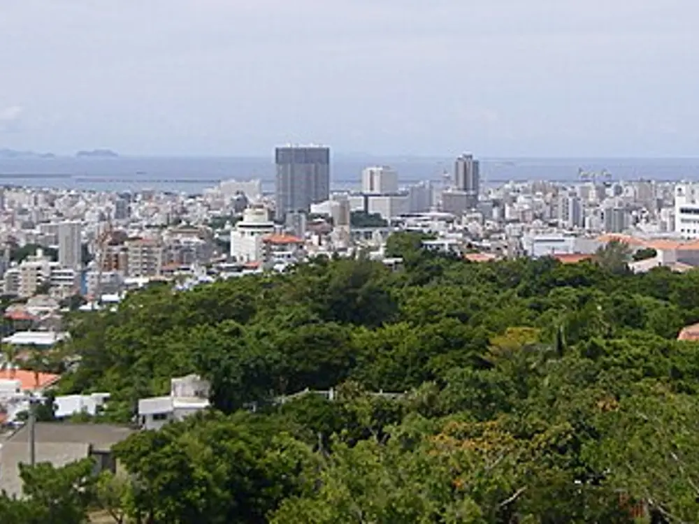
Okinawa gives Japan its warm-weather running, and its capital holds one of the country's biggest marathons. The NAHA Marathon began in 1985 and runs its 40th edition in 2026, with about 30,000 runners on a loop through Naha, Haebaru, Yaese, Itoman and Tomigusuku, turning at the Peace Memorial Park, the island's Second World War memorial. Local people line the whole course handing out food, drinks and ice. The rest of the year, Naha's parks and lagoon make easy, flat running.
The route
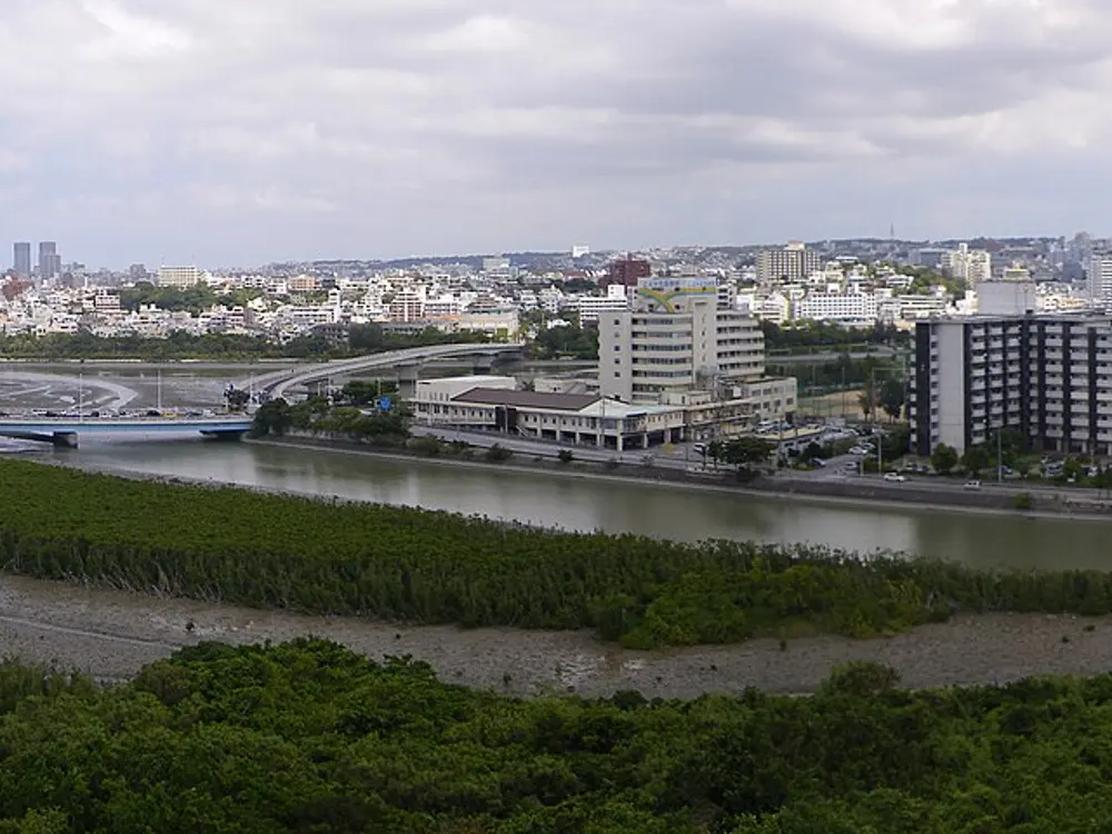
Onoyama Park is an athletics park with a rubber track of about 1 km, marked every 200 m, and a marked 2 km loop. Cross the Kita-Meiji Bridge or the Route 221 bridge to Manko Park, which has about 4 km of tree-lined paths and a track along Man Lake; the two parks together make a varied 7 to 8 km. For longer, the Haryu Bridge and the Toyomi-ohashi Bridge make a loop of about 5.4 km around Man Lake. Seaside paths from Wakasa Seaside Park to Umisora Park give about 4 km out and back. The marathon climbs from just after 8 km to its high point at the Peace Memorial Park turnaround near 21 km, and has a long, shadeless climb on the Oroku Bypass around 37 km.
When to go
The cooler months are best. Race week averages about 21.7°C with 74% humidity, so treat the marathon as a warm-weather race. The cherry trees in Manko Park bloom from about mid-January to mid-February.
Getting there
Onoyama Park and Manko Park are both in central Naha, linked by bridges and with good transport nearby; the marathon starts and finishes at Onoyama.
Permits and booking
No permit is needed in the parks. NAHA Marathon entry is first come, first served: general entry for 2026 closed on 11 July, and there is no waiting list and no transfer of entries. The time limit is 6 hours 15 minutes, with gates at 21.3 km (12:15) and 34.3 km (14:10), and runners must be back inside the Onoyama stadium gate by 15:15. Overseas runners get their bib notice by email in late November.
How hard it is
The park runs are flat and easy. The marathon is rolling, with about 180 m of climbing, strong sun and sea breezes.
Where to sleep
Central Naha hotels put you close to Onoyama Park, the marathon start, and the routes around Man Lake.
Tips
Combine Onoyama and Manko parks for the best short run in Naha.
Book early for the marathon: in 2026 more than 25,000 had applied within nine days.
Sources
Distances, heights, seasons and permit rules were checked against these pages. Rules change, so check the park or trail authority before you go.