Rungs Labs

Rungs Pilgrimage · Running · China

The 10 Best Places to Run in China

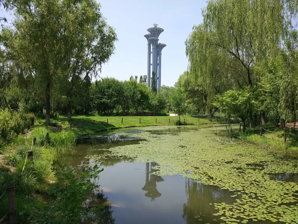
Olympic Forest Park and the Beijing Marathon, Chaoyang District, Beijing. Photo: SuSanA Secretariat (CC BY 2.0)

China's running boom has filled its marathons. The Shanghai Marathon had more than 317,000 applicants for 2025, and the races in Beijing, Chengdu, Hangzhou and Xi'an each take 30,000 runners or more. These ten go from the Great Wall in Tianjin and Beijing's Olympic park to the riverside in Shanghai, the lakes of Hangzhou and Wuhan, the coast of Xiamen and the mountain trails of Hong Kong, then west to the greenways of Chengdu, the Ming wall of Xi'an and a high path above Dali in Yunnan.

Most of the routes are free and open to anyone; the big races are not, since most are decided by lottery and the Great Wall Marathon is sold only as a tour package. Citizens of about 50 countries can enter mainland China without a visa for up to 30 days until 31 December 2026, and Hong Kong has its own entry rules. For each place you get the classic runs, the best season, how to get there, entry and race rules, how hard it is and where runners stay. Every fact comes from race organisers, city and tourism bodies or the other pages linked at the bottom.

Updated 2026-10-18

  1. 01Olympic Forest Park and the Beijing MarathonChaoyang District, Beijing
  2. 02The Great Wall Marathon at HuangyaguanJizhou District, Tianjin
  3. 03The Huangpu riverside and the Shanghai MarathonShanghai
  4. 04West Lake and the Hangzhou MarathonHangzhou, Zhejiang
  5. 05Huandao Road and the Xiamen MarathonXiamen, Fujian
  6. 06The MacLehose Trail and the Hong Kong 100New Territories, Hong Kong
  7. 07The East Lake GreenwayWuhan, Hubei
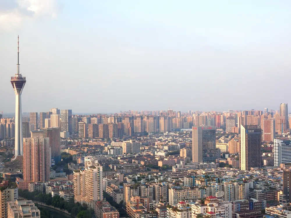
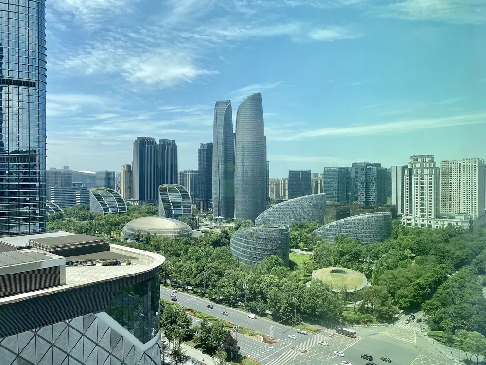
  8. 08Chengdu's greenways and the Chengdu MarathonChengdu, Sichuan
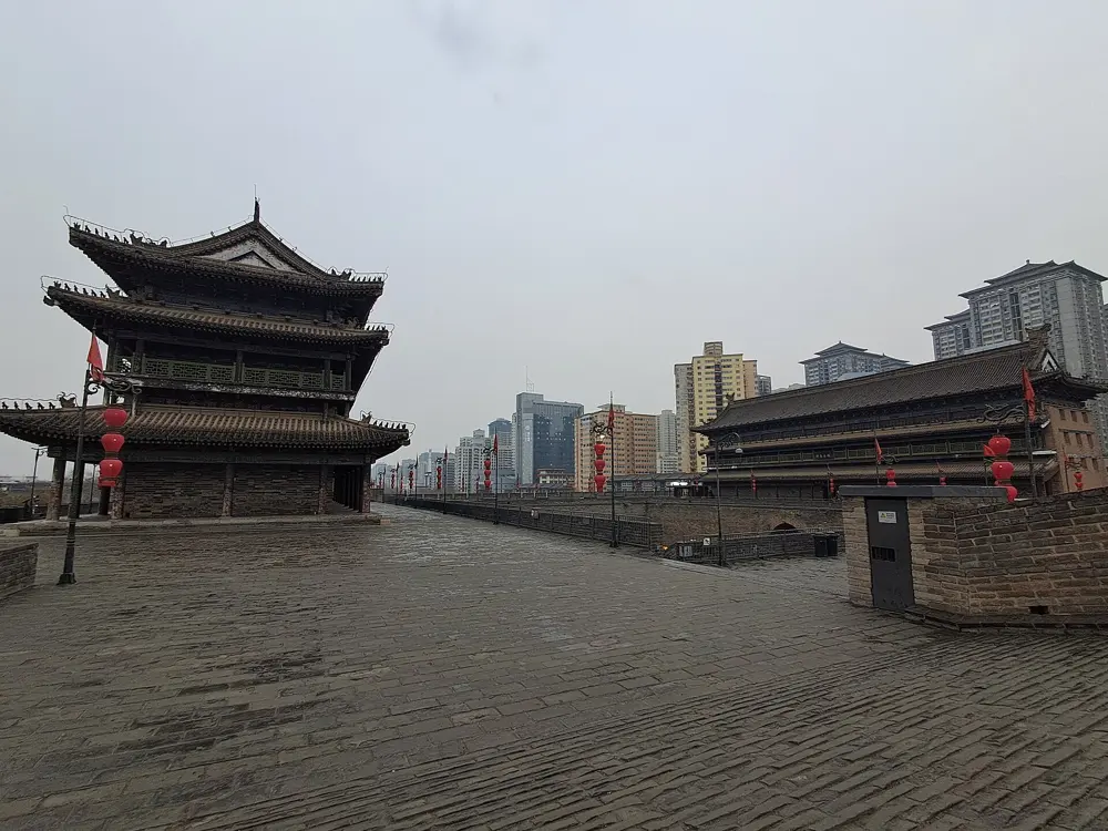
  9. 09The Xi'an City WallXi'an, Shaanxi
  10. 10The Jade Belt Road on CangshanDali, Yunnan
01 / 10

Olympic Forest Park and the Beijing Marathon

Chaoyang District, Beijing
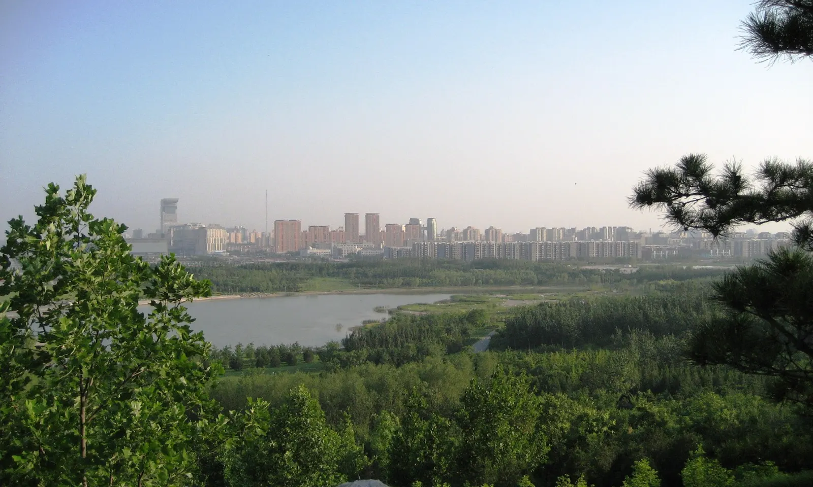
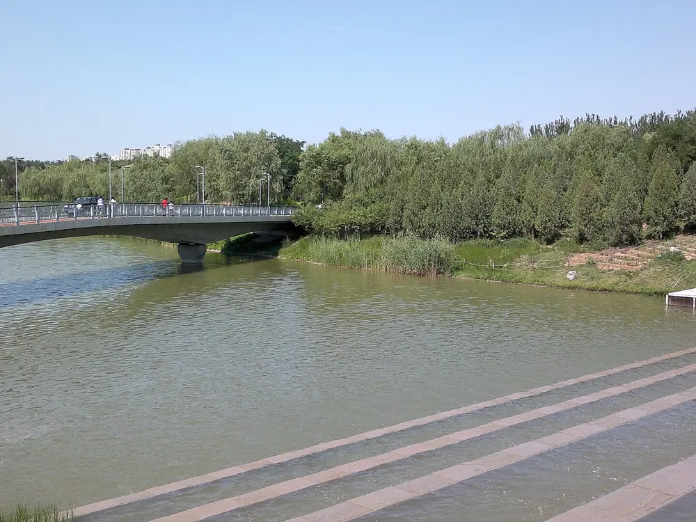
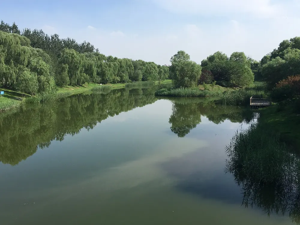
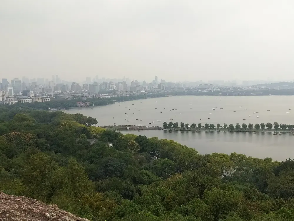
Woods and a lake in Olympic Forest Park seen from the top of its hill, with Beijing's tower blocks on the horizon

Photos: SuSanA Secretariat (CC BY 2.0), SeanZhang82 (CC BY-SA 3.0), 颜邯 (CC BY-SA 4.0), Bjoertvedt (CC BY-SA 4.0)

Distance
Marked paths of 3, 5 and 10 km
Park
680 hectares, free entry
Hours
6 am to 9 pm, 8 pm in winter
Big race
Beijing Marathon, October

Why go

Olympic Forest Park is the largest city park in Beijing, 680 hectares at the north end of the city's central axis, built for the 2008 Olympics and free to enter. The 5th Ring Road splits it in two. The south part is a landscaped park of hills and water, the north part a quieter natural forest, and an ecological corridor over the road joins them. A running guide to Beijing calls it the park with the best air in the city and suggests running here, or indoors, on days when the air quality index is over 100. Just to the south, on the Olympic Green, is the finish of the Beijing Marathon, founded in 1981 and described by its organisers as the oldest city marathon in China.

The route

The park has a jogging path marked in lengths of 3, 5 and 10 km, and the trails in the north part are well signposted, with distance markers. The running guide Great Runs suggests an 11 km loop that joins the north and south parts, takes in both of the park's hills and starts near Qinghe Road by the merchandise store. The south part is oval and centred on a lake with small islands linked by bridges, and its paths circle several lakes and ponds; the north is more wooded and hillier. The marathon starts at Tiananmen Square, runs west along Chang'an Avenue past Fuxingmen, turns north into Haidian along Xueyuan Road and finishes on the landscaped avenue between the Bird's Nest and the Water Cube.

When to go

September to November is the best time, at 10 to 20°C with low humidity, and autumn usually has the cleanest air. Summer is hot and humid at 30 to 38°C, July and August bring the monsoon rains, winter is cold and dry at minus 10 to 5°C, and spring can be dusty. The 2026 Beijing Marathon, a World Athletics Gold Label race, was run on 18 October with 32,000 runners.

Getting there

The park is at 33 Kehui Road in Chaoyang District, next to the Beijing International Convention Center, and Great Runs says it is easily reached by subway. Download Amap for directions. Citizens of about 50 countries, including the UK, Australia and Canada, can enter mainland China without a visa for up to 30 days until 31 December 2026. US citizens are not on that list but can use the 240 hour transit rule with an onward ticket to a third country.

Permits and booking

Entry is free, with no booking. The park opens at 6 am and closes at 9 pm from 15 March to 15 November, and at 8 pm the rest of the year. The Beijing Marathon is decided by lottery: a running guide says registration opens in August and international runners apply through the official website.

How hard it is

Easy to moderate. The paths are smooth and the south part is gentle; the two hills in the north give short climbs.

Where to sleep

Hotels around the Olympic Green and the Beijing International Convention Center put you at the park gates. If you are racing, a base nearer the centre is closer to the start at Tiananmen Square.

Tips

  • Check the air quality index before you run, and keep to the park on days when it is over 100.
  • Run the north part for quieter, more wooded trails with distance markers.
02 / 10

The Great Wall Marathon at Huangyaguan

Jizhou District, Tianjin

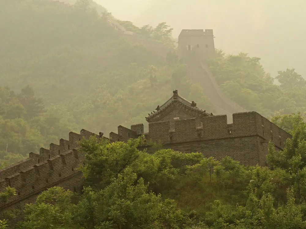
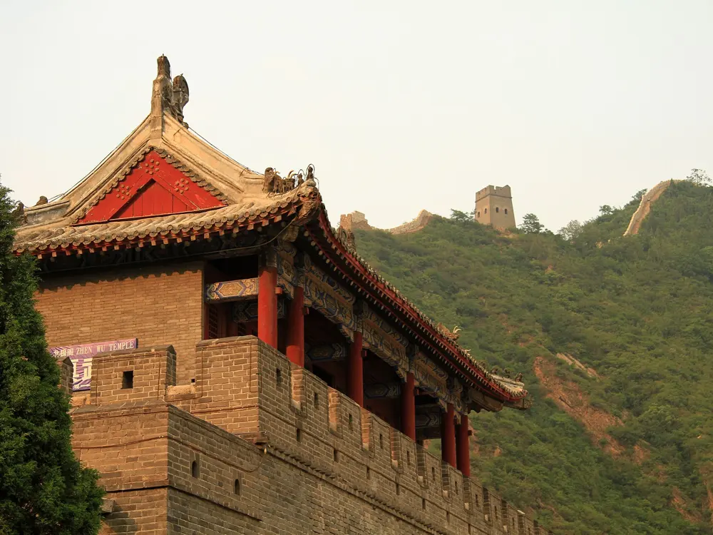
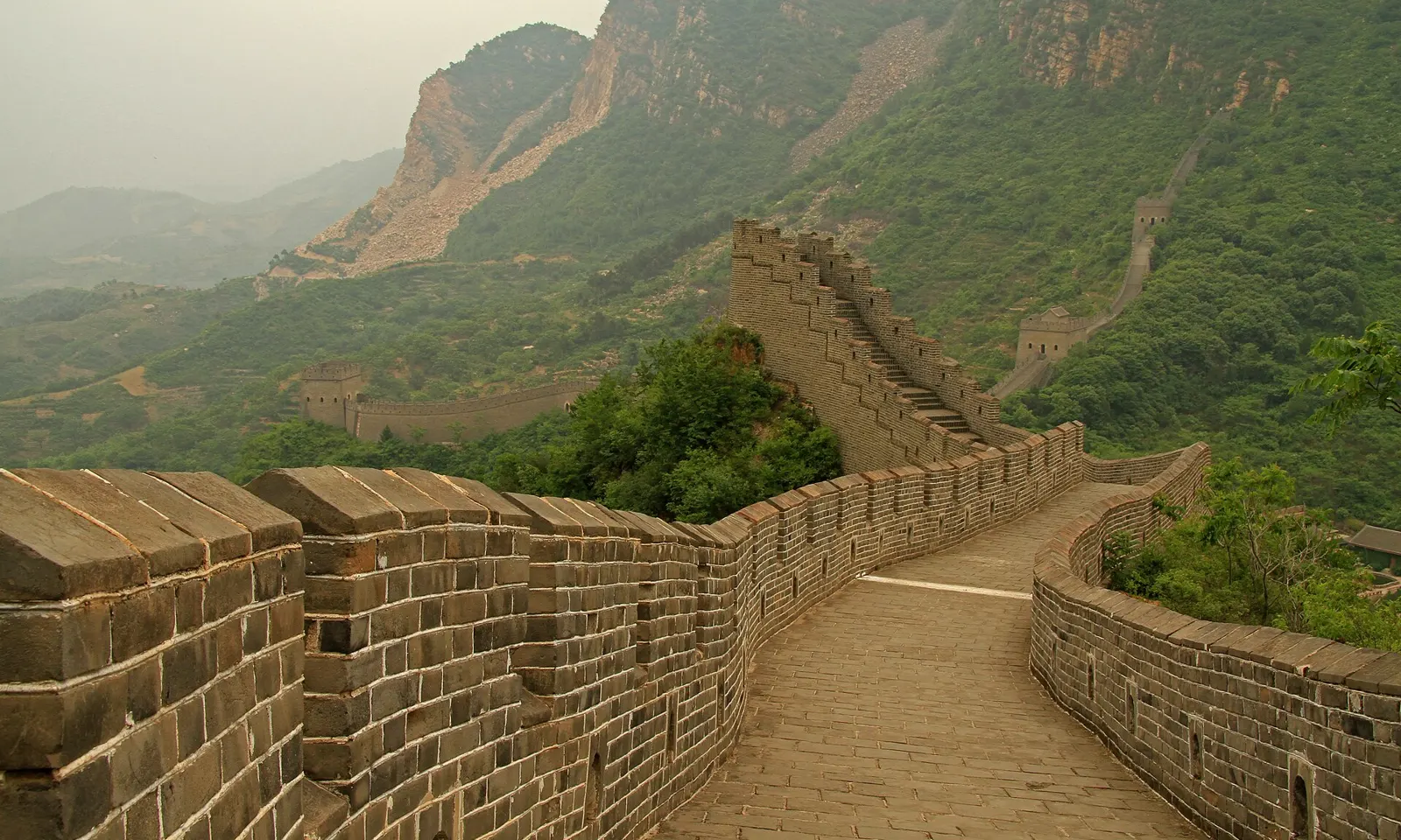
The Great Wall at Huangyaguan climbing a green ridge towards a watchtower, with cliffs behind

Photos: Ronnie Macdonald from Chelmsford, United Kingdom (CC BY 2.0), Ronnie Macdonald from Chelmsford, United Kingdom (CC BY 2.0), Ronnie Macdonald from Chelmsford, United Kingdom (CC BY 2.0), Ronnie Macdonald from Chelmsford, United Kingdom (CC BY 2.0)

Distance
42.2 km; also 21.1 km and 8.5 km
Steps
5,164 on the Wall
Climb
About 1,282 m on the marathon
Next race
15 May 2027

Why go

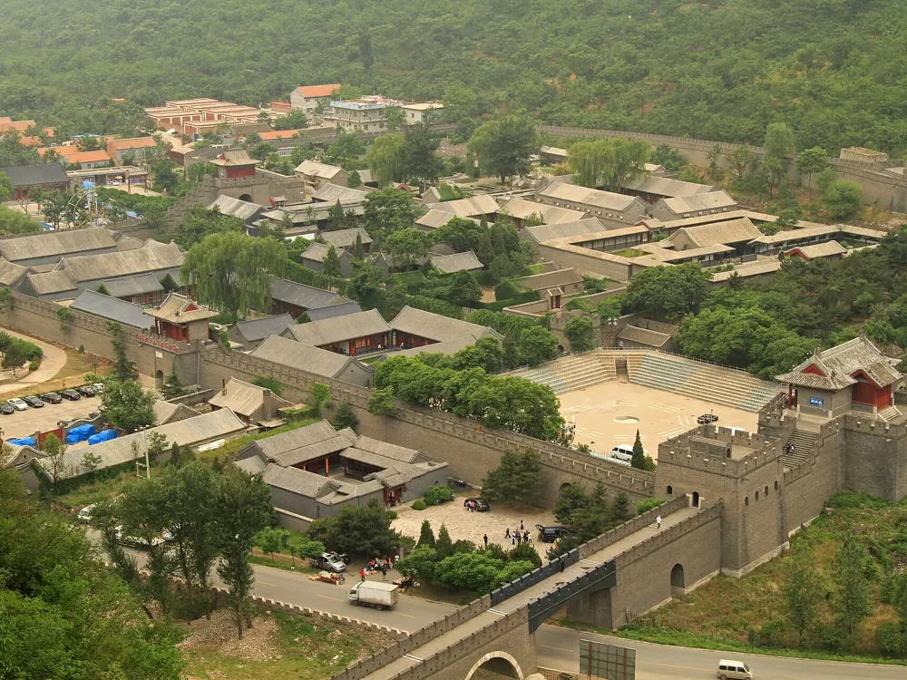
The Great Wall Marathon is the race that puts the Wall itself under your feet. It is run at Huangyaguan, a section in Jizhou District of Tianjin about two hours from Beijing, and its 5,164 stone steps are the reason most people enter. The organisers call it the most demanding marathon of your life. The field is capped at 2,500 and has sold out in past years. The setting carries the day: watchtowers 200 to 300 metres apart along a ridge of green hills, a fortress square at the start and a stretch through the farming villages in the valley below.

The route

Start and finish are at Yin and Yang Square in the old Huangyaguan fortress. A race guide describes about 3.5 km along the top of the Wall, with the steepest climbs in the first 7 km and after 30 km. In the middle comes a runnable section through the valley and villages, with a second climb of about 200 metres in the middle third. After 35 km the course returns to the Wall and drops back down to the square, on gravel, asphalt, brick and stone steps. Every runner walks the 3.5 km Wall section on Inspection Day before the race.

When to go

The race is held in May: on 15 May 2027 and then 20 May 2028. May temperatures range from 16 to 35°C, with a typical daytime average of about 28°C, humidity can be high and there is little shade on the Wall. Rain is uncommon but possible.

Getting there

Race representatives meet flights at Beijing Capital and Beijing Daxing airports on the two official arrival days, and the packages take you to the course. Citizens of about 50 countries can enter China without a visa for 30 days; a race guide says other nationalities, including US and Indian citizens, need a tourist (L) visa, and that the tour company issues a visa service voucher about six weeks before race weekend.

Permits and booking

International runners cannot buy a bib on its own: the organisers require everyone to book a tour package. For 2027 these run from USD 790 for the regional package, 14 to 16 May, which needs proof of residence in China, to USD 2,090 for 7 days. A guide gives 15 April 2027 as the booking deadline, with a USD 150 late fee after 15 March. Marathon runners must be at least 18 and half marathon runners 16.

How hard it is

Very hard for a marathon. Expect about 1,282 metres of climbing, much of it on steep, uneven steps that wear out the quads on the way down. The overall cut-off is 8 hours, and the Wall gate at 35 km closes at 14:00.

Where to sleep

The packages include hotels: 6 nights on the 7 day package, 5 nights on the 6 day package, which includes a stay in Jizhou, and 2 nights on the regional package.

Tips

  • Train on stairs and hills for at least 12 weeks, and practise running downhill.
  • Work out your projected 35 km split so you reach the last Wall gate before it closes.
03 / 10

The Huangpu riverside and the Shanghai Marathon

Shanghai

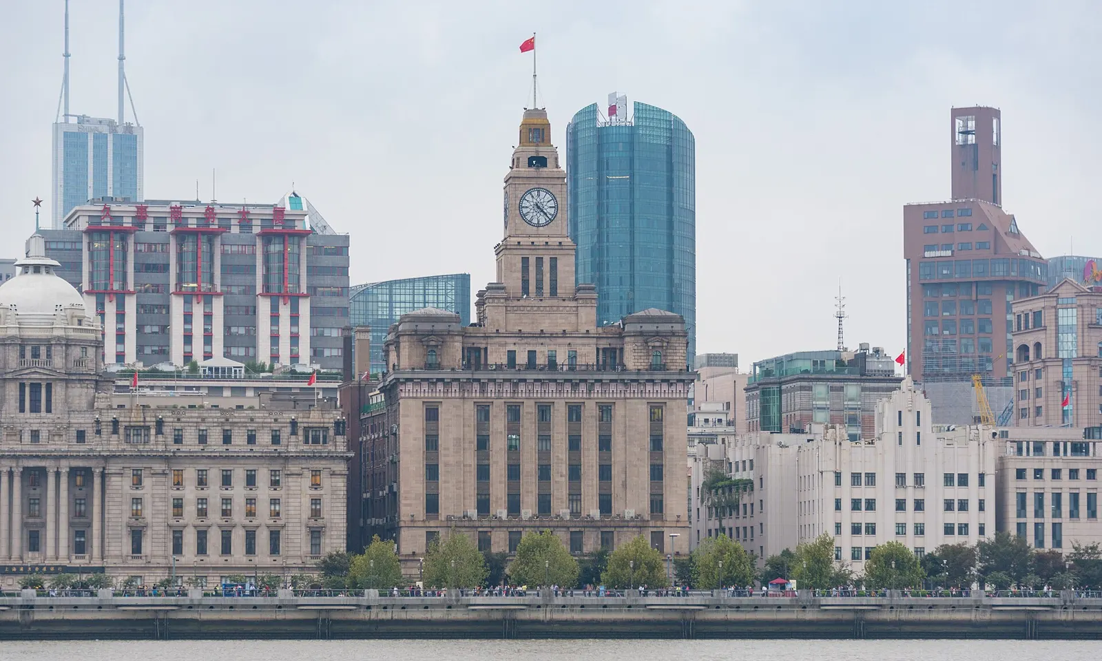
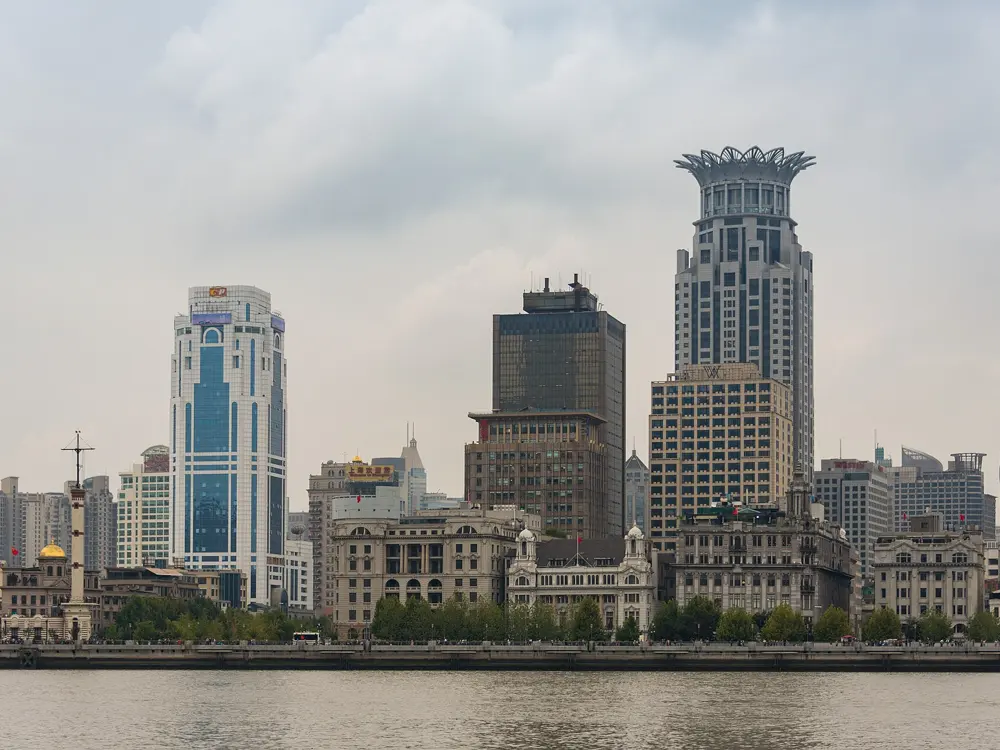
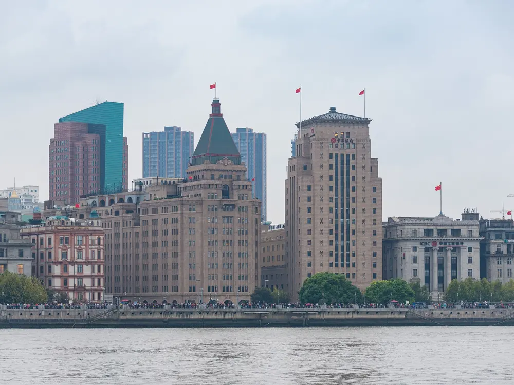
The domed and towered buildings of the Bund lining the Huangpu River in Shanghai

Photos: xiquinhosilva (CC BY 2.0), xiquinhosilva (CC BY 2.0), xiquinhosilva (CC BY 2.0), xiquinhosilva (CC BY 2.0)

Distance
45 km, Yangpu Bridge to Xupu Bridge
Terrain
Flat paved riverside paths
West Bund
9.2 km of traffic-free path
Big race
Shanghai Marathon, 6 December 2026

Why go

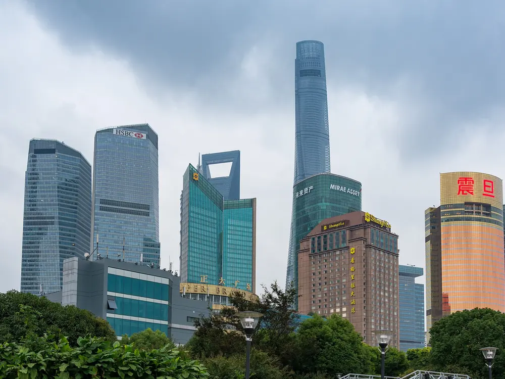
For decades the Huangpu in central Shanghai was lined with docks, warehouses and factories, and a runner following the river kept meeting dead ends. In January 2018 the city opened a 45 km trail joining both banks from Yangpu Bridge in the north to Xupu Bridge in the south, through five districts, with separate lanes for walking, jogging and cycling and public toilets every 500 to 1,000 metres. A 66-year-old runner in Xuhui told China Daily that he could now run beside the river without traffic. The route passes the old buildings of the Bund, faces the towers of Lujiazui across the water and runs through industrial sites turned into museums. Each December the Shanghai Marathon starts on the Bund.

The route

The Bund and North Bund stretch starts at Waibai Bridge and runs south along the river; with the North Bund extension it comes to about 5.3 km one way, on a flat paved promenade, with public toilets in Huangpu Park. Further south, the West Bund in Xuhui gives 9.2 km of wide, flat, traffic-free path from Lupu Bridge to Longyao Road, past the Long Museum, with free service points offering water, bag storage and showers. In Yangpu a 2.8 km section passes a cotton mill and the city's first water and power plants, each about a hundred years old. The marathon starts at Bund Bull Plaza at 7 am and finishes at Xujiahui Sports Park, with only about 25 metres of total climb; after halfway it spends about 10 km on Longteng Avenue beside the river, where the wind can pick up.
When to go

October to November and March to April are best. Summer is 30 to 38°C and humid, so run between 5:30 and 7 am; June and July bring the plum rains, and winter is cool and damp at 2 to 10°C. Race week in December has averaged about 8.5°C with 78 percent humidity.

Getting there

The riverside runs through the middle of the city. For the Suzhou Creek greenway, which heads east to the Bund, start at Zhenping Road metro station. Use Amap or Baidu Maps, since Google Maps works poorly in China.

Permits and booking

The riverside is free and open to everyone. Marathon places are decided by lottery: pre-registration for 2026 ran from 29 April to 29 May, with results on 30 June, and for 2025 only 7.2 percent of more than 317,000 applicants got in. A guide gives the entry fee as 200 yuan for domestic runners and 1,150 yuan for international runners, who need a valid passport.

How hard it is

Easy. The riverside is flat, and the marathon is a fast course with a time limit of 6 hours 30 minutes; the finish closes at 1:30 pm.

Where to sleep

Hotels near the Bund put you on the river path and at the marathon start. The West Bund in Xuhui is the place for long, quiet runs south of the centre.

Tips

  • On Saturdays there is a free parkrun at 7:30 am in Century Park.
  • Check the air quality index first: a guide suggests easing off above 100 and moving indoors above 150.
04 / 10

West Lake and the Hangzhou Marathon

Hangzhou, Zhejiang

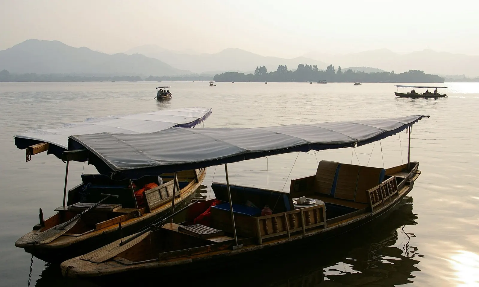
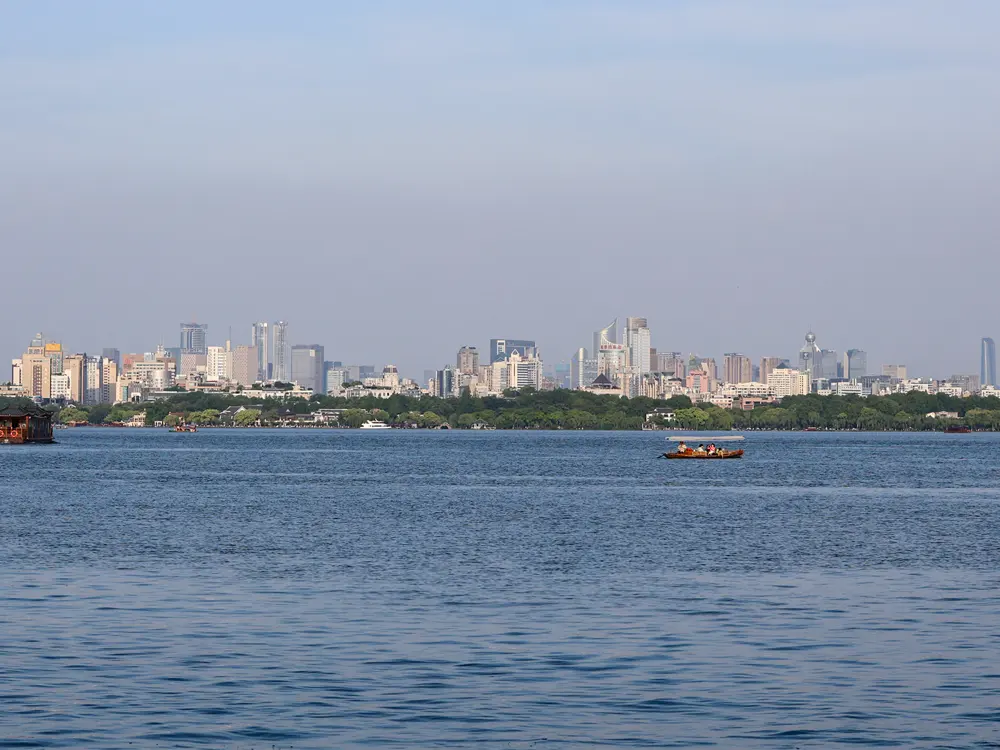
Wooden boats moored on West Lake in Hangzhou at dawn, with misty hills across the water

Photos: Jakub Hałun (CC BY-SA 3.0), Circa24 (CC BY-SA 4.0), TheTokl (CC BY-SA 3.0), Windmemories (CC BY-SA 4.0)

Distance
About 10 km round the lake
Causeways
Su 2.8 km, Bai 1 km
Hill trails
5 to 15 km, 200 to 400 m of climb
Big race
Hangzhou Marathon, 1 November 2026

Why go

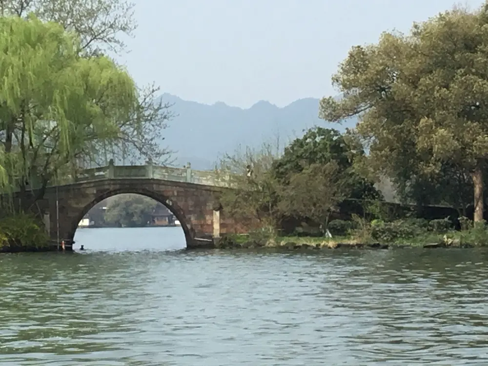
West Lake is a UNESCO World Heritage site and the reason many runners come to Hangzhou. A flat loop of about 10 km goes almost all the way round it, and car-free causeways cut across the water, so you can make the run as long or short as you like. Groups gather at the north end of the Su Causeway at about 6 am. Behind the lake the Longjing tea hills give proper trail running on stone paths, and the Qiantang River greenway in Binjiang has a running lane of its own. The Hangzhou Marathon, a World Athletics Gold Label race, had 36,000 places in 2026 on a route redesigned to link West Lake with the Grand Canal, another World Heritage site.

The route

Run the loop anticlockwise using the Su Causeway, 2.8 km across, and the Yanggong Causeway, which are car-free and have the widest paths. Avoid the stretch where North Mountain Road carries traffic and use the lakeside path beside it. The Bai Causeway adds 1 km across the water. For hills, the Longjing tea plantation trails run 5 to 15 km with 200 to 400 metres of climbing: a beginner's route goes 5 km from Jiuxi to Longjing village, and stronger runners can carry on along the Shili Langdang ridge to 15 km, with steep stone stairs. The Grand Canal towpath gives 11 km one way from Gongchen Bridge to West Lake Culture Square, mostly on small stone slabs, and the Qiantang greenway has a 17.4 km blue running lane, separate from the red cycle lane. The marathon finishes at the Hangzhou Olympic Sports Centre Stadium.

When to go

October to November and March to April. Summer is 30 to 38°C with humidity above 85 percent, June and July bring the plum rains and August and September the typhoons, and cold snaps in January can drop below freezing. Air quality is worst in December and January. Run the lake before about 6:30 am, since the crowds arrive after 8.

Getting there

Take Metro Line 1 to Longxiang Bridge station for the lake, and Line 5 to Gongchen Bridge for the canal towpath. Use Amap for navigation, since Google Maps does not work in China.

Permits and booking

The lake, the causeways and the tea trails are free. Global registration for the 2026 marathon opened on 23 June, with a second lottery round and a dedicated channel for overseas runners; there were 22,000 full marathon and 14,000 half marathon places.

How hard it is

Easy round the lake. Moderate to hard in the tea hills, where the stone paths get slippery after rain and trail shoes help.

Where to sleep

Stay within walking distance of the lake, near Longxiang Bridge metro station, so you can be on the causeways before the crowds.

Tips

  • Join the groups that meet at the north end of the Su Causeway at around 6 am.
  • On weekends, use the Binjiang greenway for a flat long run away from the lake crowds.
05 / 10

Huandao Road and the Xiamen Marathon

Xiamen, Fujian

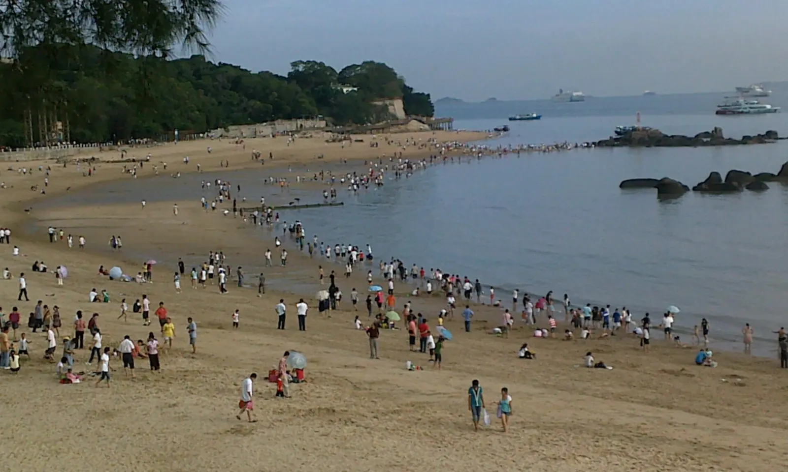
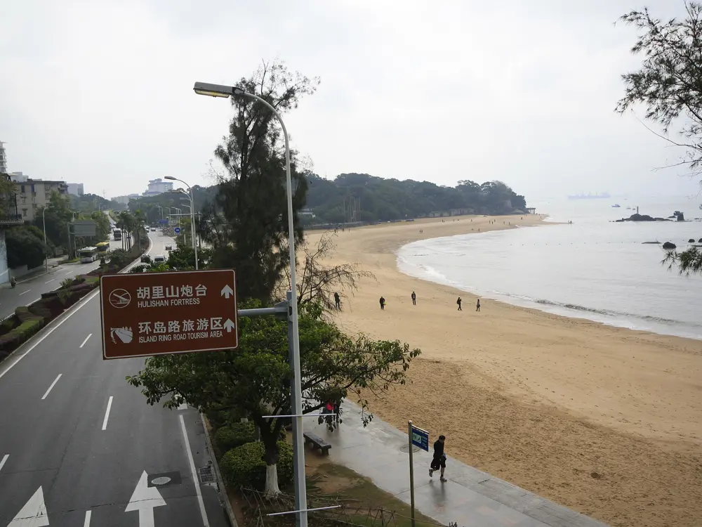
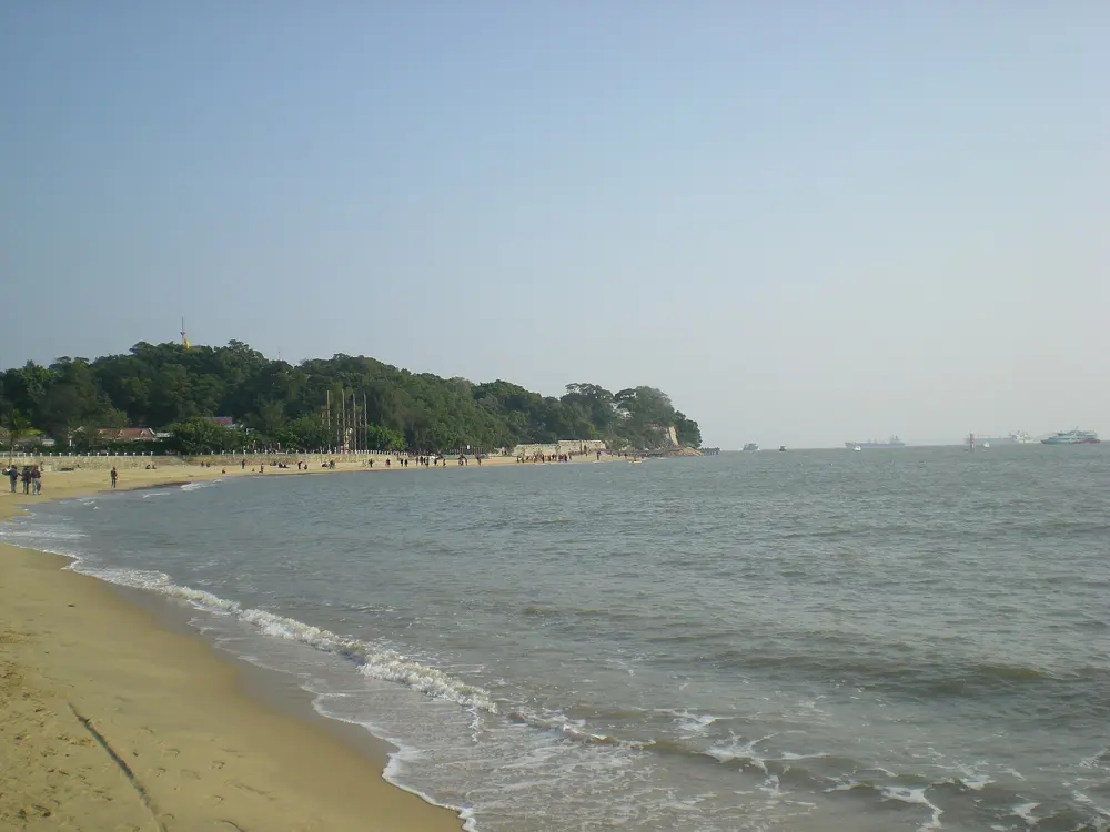
A curving sandy beach on Xiamen's coast with people walking along the water

Photos: bfishadow (CC BY 2.0), Zhangzhugang (CC BY-SA 3.0), Windmemories (CC BY-SA 4.0), Jie Yang (CC BY 3.0)

Distance
43 km coastal road
Boardwalk
5 km, Zengcuo'an to Huangcuo
Course records
2:06:06 and 2:18:46 (2025)
Big race
Xiamen Marathon, 10 January 2027

Why go

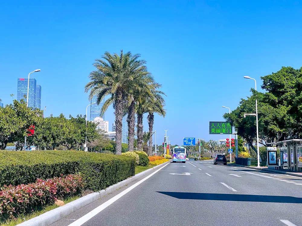
Huandao Road follows the coast of Xiamen island for 43 km, from Marathon Square in the north to Baicheng Beach by Xiamen University in the south, looking out over the Taiwan Strait. It was begun in 1991 on a former shoreline as a scenic road and turned into a promenade in 2000, and bike lanes were added in 2017. On the way are cliffs and tidal pools, sandy beaches and the village of Zengcuo'an with its cafes and street art. The road is also home to the Xiamen Marathon, first run in 2003 and now a World Athletics Platinum Label race, the top tier. It is fast: Dawit Wolde and Ruti Aga of Ethiopia set the course records of 2:06:06 and 2:18:46 in 2025.

The route

The northern coast has the cliffs, the tidal pools and the Five Bridges sculpture; the central belt has the beaches and Zengcuo'an; and the southern stretch runs past the Xiamen University shore to Huangcuo Beach, known for its sunsets, and Baicheng Beach. About 30 km of bike lanes run beside the road, separated from traffic, and a 5 km wooden boardwalk goes from Zengcuo'an to Huangcuo, the best stretch for an out and back on foot. Marathon Square, at the northern end, is where the annual race starts. The marathon starts and finishes at the Xiamen International Conference and Exhibition Center and follows the scenic sections of the coastal city.

When to go

Spring, from March to May, and autumn, from September to November, are the best seasons. Go early, around 7 am, or late, around 5 pm, and avoid weekends between 10 am and 4 pm, when the road is busiest. The marathon is in early January, on 10 January 2027.

Getting there

Buses 29, 48 and B3 stop at Zengcuo'an and Huangcuo. From Metro Line 1 at Zhenhai Road it is about 15 minutes by taxi, and shared bikes wait at the metro exits.

Permits and booking

The road is free and open at all hours. A travel agency listing for 2027 describes a single full marathon event with 35,000 places, starting and finishing at the convention centre.

How hard it is

Easy. The road follows the shore, and the main things to manage are sun and the weekend crowds.

Where to sleep

Stay near Zengcuo'an or Xiamen University to have the boardwalk and Baicheng Beach on your doorstep, or near the convention centre at the northern end if you are racing.

Tips

  • Run the boardwalk from Zengcuo'an to Huangcuo early, before the crowds.
  • The tourism page advises sunscreen and a hydration pack for the open stretches.
06 / 10

The MacLehose Trail and the Hong Kong 100

New Territories, Hong Kong

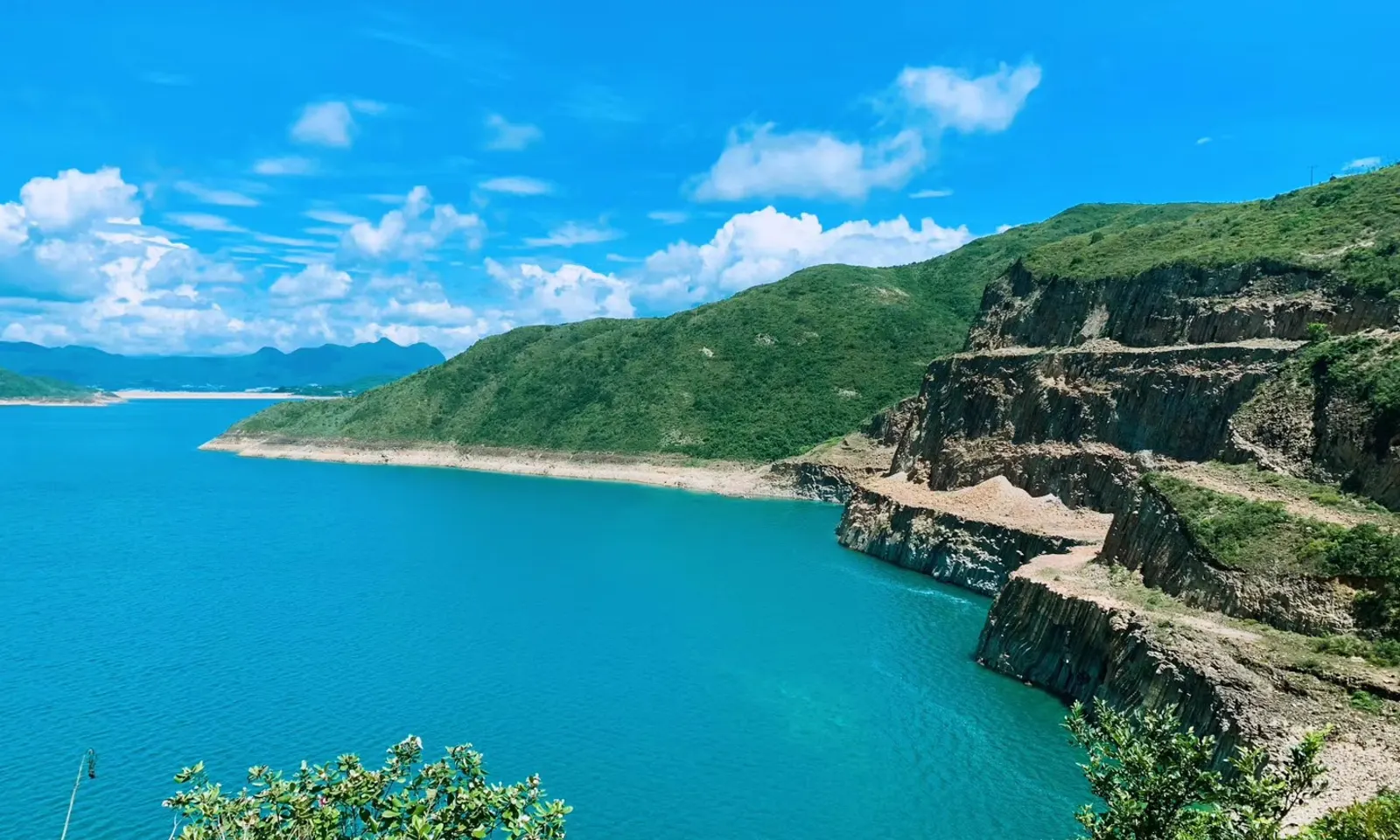
Turquoise water below green headlands and cliffs near Sai Wan on the MacLehose Trail in Hong Kong

Photos: WFan (CC BY-SA 3.0), Underwaterbuffalo (CC BY-SA 4.0), Underwaterbuffalo (CC BY-SA 4.0), Underwaterbuffalo (CC BY-SA 4.0)

Distance
100 km in 10 sections
High point
Tai Mo Shan, 957 m
Fastest known time
10 h 38 min (2020)
Big race
HK100, 23 January 2027

Why go

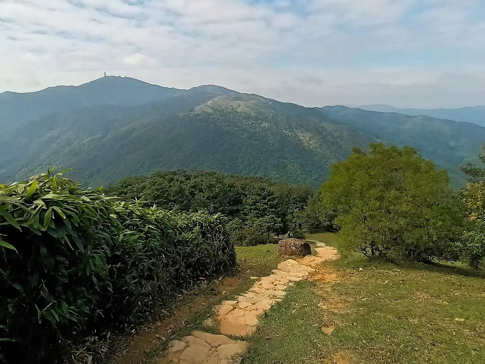
Hong Kong has far more mountain running than its skyline suggests, and the MacLehose Trail is its spine. Opened in 1979 and named after a former governor, it crosses the New Territories for 100 km from Pak Tam Chung in Sai Kung to Tuen Mun, through seven country parks and over Ma On Shan, Lion Rock and Needle Hill to Tai Mo Shan, at 957 metres the highest point in Hong Kong. Numbered posts every 500 metres, M001 to M200, tell you exactly where you are. Each January the Hong Kong 100 ultra, held since 2011, runs most of it, and each November teams in Oxfam Trailwalker have 48 hours to cover the full distance.

The route

The trail has 10 sections, from 4.6 km for Section 6, Tai Po Road to Shing Mun, to 15.6 km for Section 10 into Tuen Mun. Sections 1 and 2, 10.6 and 13.5 km, go round High Island Reservoir and the Sai Kung beaches. Section 8, 9.7 km from Lead Mine Pass over Tai Mo Shan to Route Twisk, is rated the hardest. The HK100 starts at Pak Tam Chung, follows the trail with detours such as one to Hoi Ha, passes Gilwell Camp at 62 km and Beacon Hill at 70 km and finishes with the descent from Tai Mo Shan. In 2027 the programme has The Third (34 km), The Half (53 km), the HK100 (100 km with 5,142 metres of climbing) and the Grand Sam, all three on consecutive days, 183 km in total.

When to go

The trail can be used all year. The races fall in the cooler months: Trailwalker in November and the HK100 events from 21 to 24 January 2027.

Getting there

Section 1 starts at Pak Tam Chung, reached by bus 94 from Sai Kung Town Centre; bus 96R runs from the Diamond Hill MTR bus terminus on Sundays and public holidays. Pak Tam Au, between Sections 2 and 3, has public transport and water, and the western end is near the Pui To Light Rail stop in Tuen Mun. Hong Kong has its own entry rules: nationals of about 170 countries and territories can visit without a visa for 7 to 180 days, depending on nationality.

Permits and booking

No permit is needed to run the trail. Campsites along it include Pak Lap, Sai Wan Beach, Ngong Ping plateau, Lead Mine Pass, Tin Fu Tsai and Rotary Park near Tai Mo Shan. HK100 registration is online through the organiser's site.

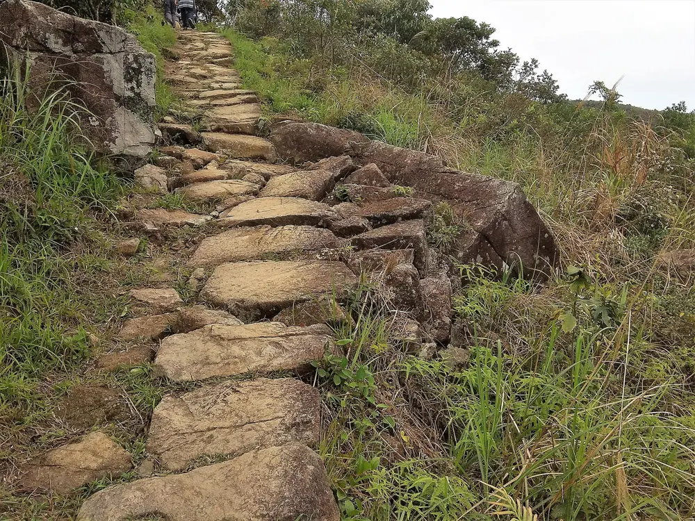
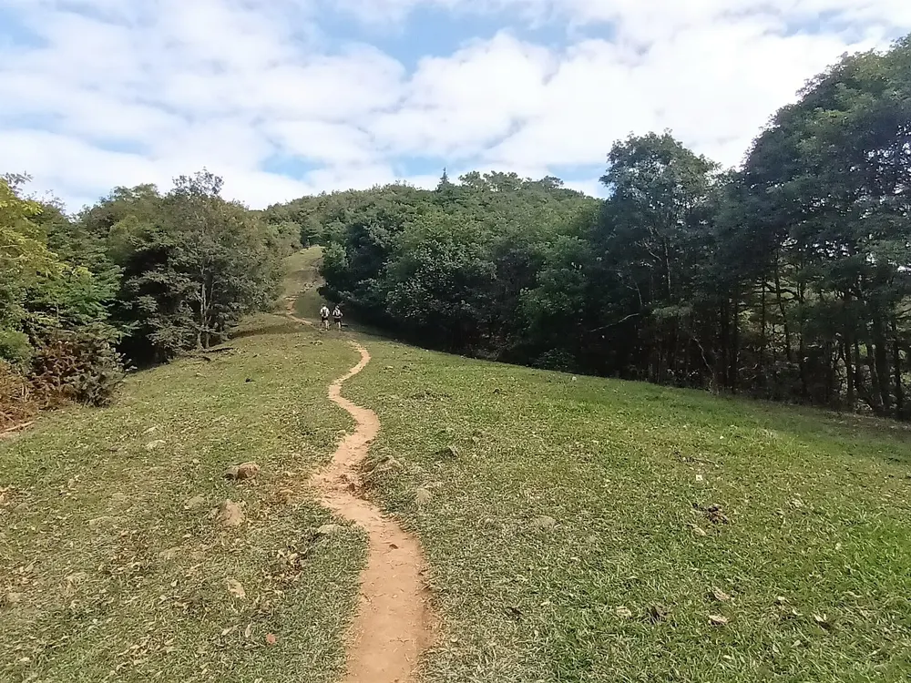
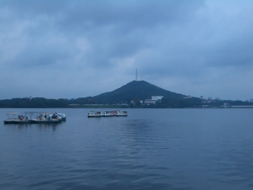
How hard it is

Hard. The trail runs from sea level to 957 metres on stone steps and rough paths, and most sections are rated difficult, Section 8 very difficult. A race listing gives the HK100 cut-off as 30 hours.

Where to sleep

Sai Kung Town, where the bus to Pak Tam Chung starts, is the base for the eastern sections; the trail campsites are the other choice for a multi-day run.

Tips

  • Note the number on the nearest distance post: it tells rescuers where you are, and there are emergency phones along the trail.
  • Run Sections 1 and 2 first for the reservoir and the beaches, then come back for Tai Mo Shan.
07 / 10

The East Lake Greenway

Wuhan, Hubei

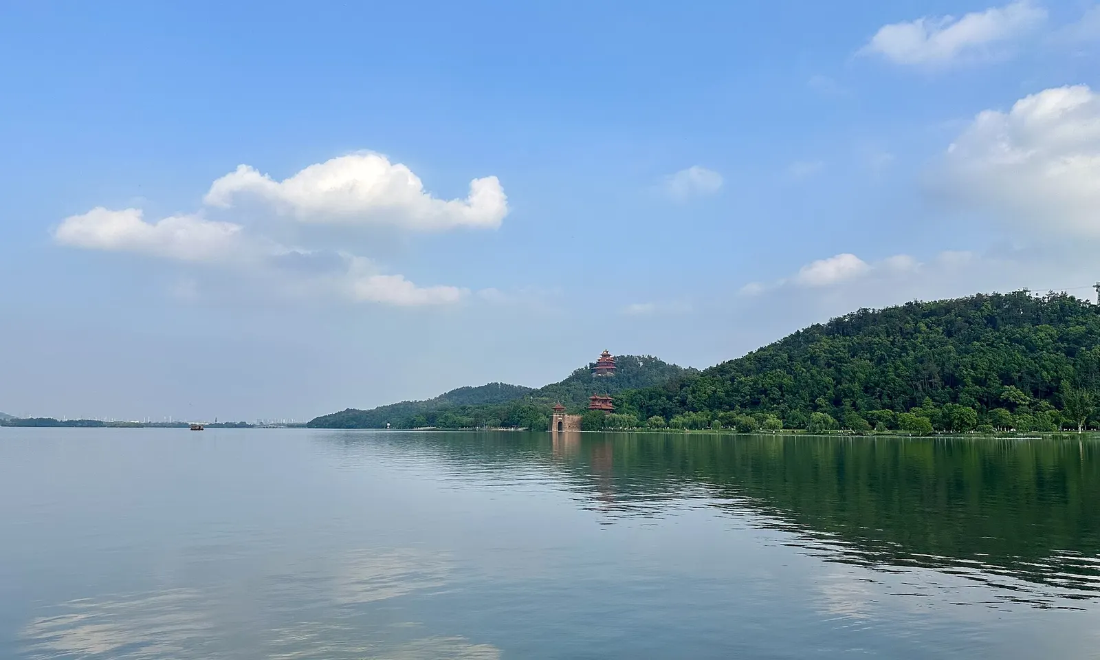
Mount Mo and its pagoda across the still water of East Lake in Wuhan under a blue sky

Photos: Zheng Zhou (CC BY-SA 4.0), Zheng Zhou (CC BY-SA 4.0), User:Vmenkov (CC BY-SA 3.0), User:Vmenkov (CC BY-SA 3.0)

Distance
105 km of greenway
Lanes
1.5 m walking, 6 m cycling
Hours
Open 24 hours
Big race
Wuhan Marathon, March

Why go

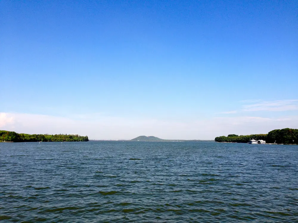
East Lake in Wuhan is China's largest urban lake, often compared with Hangzhou's West Lake but on a much larger scale, and its greenway is long enough that visitors usually take it one section at a time. Work began in 2015 and a 102 km ring was finished in February 2019; a 2026 count puts the system at 105 km, linking the lakeside parks, islands, hills and villages. The greenway had drawn nearly 40 million visitors by 2019 and has hosted several marathons. The Wuhan Marathon, with 30,000 places in 2026, uses it on a route that also crosses the Yangtze River Bridge, and on New Year's Day the East Lake First Run opens the year on its shore.

The route

The greenway has a 1.5 metre walking lane beside a 6 metre cycling lane. The Moshan section has Moshan Hill, the Chu City Gate and wide lake views. The Tingtao area, near the Hubei Provincial Museum, has quieter lakeside boardwalks and forest paths and is the spot for sunrise. Luoyan has the best access to the greenway for longer outings. Other entrances are at Baima Zhoutou, East Lake Scenic Village and the Wuhan Botanical Garden, and the One Tree and Plum Garden entrances lead onto Moshan's hiking paths. Dawn redwoods planted as early as the 1960s line parts of the shore. Since the whole loop is too long for most runners, link two or three areas in one run, or run out and back from a metro station.

When to go

Late spring and autumn are the most scenic, with cherry blossom in spring and maple colours in autumn; weekends in peak season get crowded. The 2026 Wuhan Marathon was run on 22 March.

Getting there

The Liyuan Square entrance connects directly to Metro Line 8, and Liyuan or Moshan station serves the Moshan area. The lake is a short taxi ride from much of the city.

Permits and booking

The lake is open 24 hours a day. Entries for the East Lake First Run go through the Wuhan Road Running WeChat account or the Amap app. In 2026 the marathon had 17,000 full marathon and 13,000 half marathon places.

How hard it is

Easy. The greenway follows the shore, with short climbs only if you head up Moshan. Keep to the walking lane: the wider lane belongs to cyclists.

Where to sleep

Hotels near Liyuan and the Hubei Provincial Museum put you at the Tingtao and Moshan entrances and on Metro Line 8.

Tips

  • Pick one or two sections per run; the lake is too big to see in one visit.
  • Go early on weekends in spring and autumn, when the lakeside gets crowded.
08 / 10

Chengdu's greenways and the Chengdu Marathon

Chengdu, Sichuan

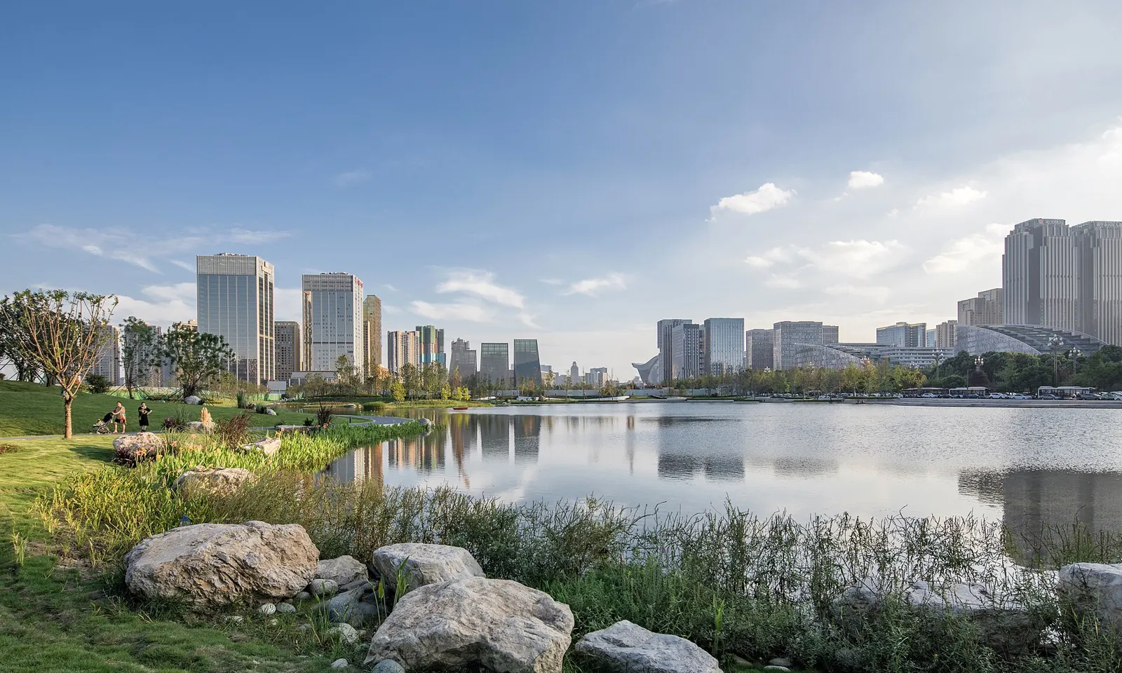
Jincheng Lake in Chengdu with rocks and grass on the shore and city towers beyond the water

Photos: Tngddgj (CC BY-SA 4.0), MspreilsCN (CC0), George N (CC BY 2.0), Kkkev999 (CC BY-SA 4.0)

Distance
Jincheng Greenway, a 100 km loop
Track
8.85 km rubber track at Xinglong Lake
Hills
Qingcheng Mountain, 600 to 1,200 m of climb
Big race
Chengdu Marathon, 25 October 2026

Why go

Chengdu has built running into the city itself. The Jincheng Greenway, part of the Tianfu Greenway system, is a 100 km loop linking 121 parks, and lakes such as Jincheng, Xinglong and Qinglong have their own running tracks; Qinglong's is well lit for running at night. Club runners meet at Jincheng Lake from 6 to 7 am. The Chengdu Marathon, a World Athletics Gold Label race of about 35,000 runners, was the first Chinese marathon nominated as an Abbott World Marathon Majors candidate race. For hills, Qingcheng Mountain is about 30 minutes away by high-speed train.

The route

Jincheng Lake has loops of 2.7, 4 and 6 km; Lake 2 has a flat 2.4 km track with a pervious concrete surface, and the 6 km loop passes all four lakes. Xinglong Lake, in a big park in Tianfu New Area, has a complete 8.85 km rubber track. Qinglong Lake Wetland Park has a 7.5 km loop and a 3.3 km smart track. Popular greenway stretches include Jincheng Lake to Guixi Park, 8 km. Qingcheng Mountain, 60 km from central Chengdu, gives trail runs of 5 to 20 km with 600 to 1,200 metres of climbing. The marathon starts at the Jinsha Site Museum, passes Kuanzhai Alley, Chunxi Road and the Tianfu Panda Tower and finishes at the Century City New International Exhibition and Convention Center.

When to go

September to November and March to May. Summer is 28 to 35°C, humid and often overcast, and winter 3 to 10°C and grey. The air is usually best from July to October; in December and January the air quality index often goes over 150, and a running guide says to skip outdoor runs then. The 2026 marathon was on 25 October.

Getting there

Metro Line 1 runs to both Jincheng Lake station and Xinglong Lake station. For Qingcheng Mountain, take the high-speed train to Dujiangyan, about 30 minutes, then a bus.

Permits and booking

The lake parks are free; Qingcheng Mountain charges an entry fee. Marathon places are decided by lottery: a running guide reports 287,000 applicants and a 12 percent success rate.

How hard it is

Easy on the lake tracks. The Jincheng Greenway is mostly flat, with about 20 km of gentle rolling sections, and Qingcheng is a proper mountain trail run. The marathon is a flat city course with a time limit of 6.25 hours.

Where to sleep

Stay near a Metro Line 1 station, which reaches both Jincheng Lake and Xinglong Lake without a change.

Tips

  • Humidity stays high all year, so drink more than you think you need.
  • Use the Codoon app to find group runs.
09 / 10

The Xi'an City Wall

Xi'an, Shaanxi

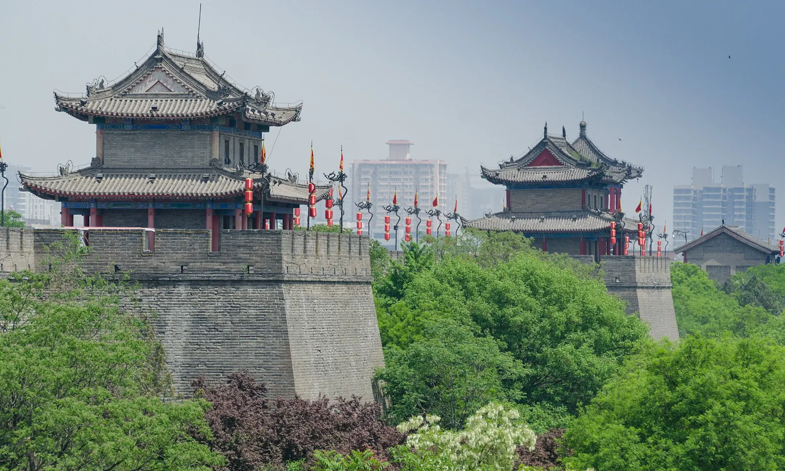
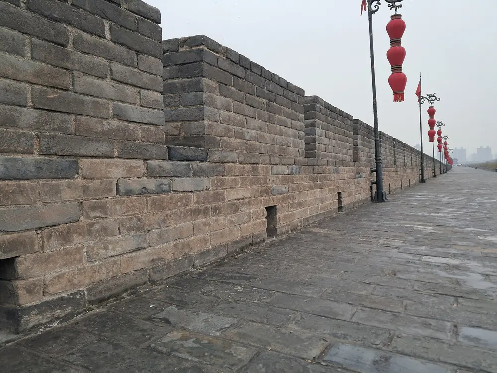
Gate towers on the Xi'an City Wall rising above green trees, with the modern city behind

Photos: xiquinhosilva (CC BY 2.0), Ideophagous (CC BY-SA 4.0), Ideophagous (CC BY-SA 4.0), Ideophagous (CC BY-SA 4.0)

Distance
13.74 km round the top
Wall
12 m high, 12 to 14 m wide on top
Entry
54 yuan for adults
Big race
Xi'an Marathon, October

Why go

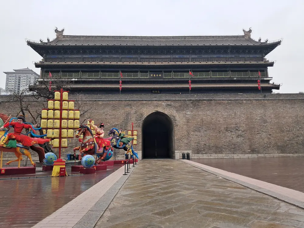
The city wall of Xi'an is complete: a rectangle 13.74 km round, 12 metres high and 12 to 14 metres wide on top, broad enough to run or cycle the whole way without coming down. A lap takes you round the old city past the gate towers and lines of red lanterns, with the modern city spread out beyond the moat. The Xi'an City Wall International Marathon, held 26 times since 1993, calls itself the world's only marathon held on a complete ancient city wall, and its 2021 edition had a 13.7 km run as well as a half marathon. Below the ramparts, a park along the moat is free and open around the clock, which gives you a second loop off the brick.

The route

Go up at the South Gate, Yongning Gate, the main entrance, and run either way round. The other main gates are the East (Changle), North (Anyuan) and West (Anding) gates. The surface on top is uneven kiln-fired grey brick, there is almost no shade, and drink kiosks or vending machines come roughly every 1 to 2 km. Cyclists take 70 to 90 minutes for a lap without stopping. The 2021 wall marathon started at Yongning Gate. The separate Xi'an Marathon on city roads starts beside Yongningmen South Square and passes the wall, the Bell Tower and the Daming Palace site; the full marathon finishes at the Xi'an Olympic Sports Center Stadium and the half at the International Convention and Exhibition Center.

When to go

Go between 8 and 10 am for quieter ramparts and cooler air, or between 4:30 and 7:30 pm for sunset over the rooftops and the lanterns coming on. The 2026 Xi'an Marathon was run on 18 October, with 36,000 places.

Getting there

Metro Line 2 stops at Yongningmen (exits A1 or D1) for the South Gate and at Anyuanmen for the North Gate; Line 6 serves Changlemen and Andingmen for the East and West gates.

Permits and booking

The ramparts cost 54 yuan for adults and 27 yuan for students and those aged 6 to 18; children under 1.2 metres or under 6 and people 65 and over go free with ID. Entry is real-name: book through the Xi'an City Wall Scenic Area WeChat mini program with your passport, or buy at the South, East, West or North gate with the original passport. The South Gate is open 8 am to 10 pm from March to October and to 8 pm from November to February; the other main gates close at around 8 pm. Registration for the 2026 Xi'an Marathon ran from 4 to 20 August.

How hard it is

Easy in distance and gradient, but the uneven brick is tiring on the legs and there is little shade.

Where to sleep

Stay inside the wall near the South Gate and Yongningmen station, so you can be on the ramparts at opening time.

Tips

  • Bring your passport: you need it to buy a ticket.
  • Bikes on top cost about 45 yuan for 3 hours if you want to ride a lap before running one.
10 / 10

The Jade Belt Road on Cangshan

Dali, Yunnan

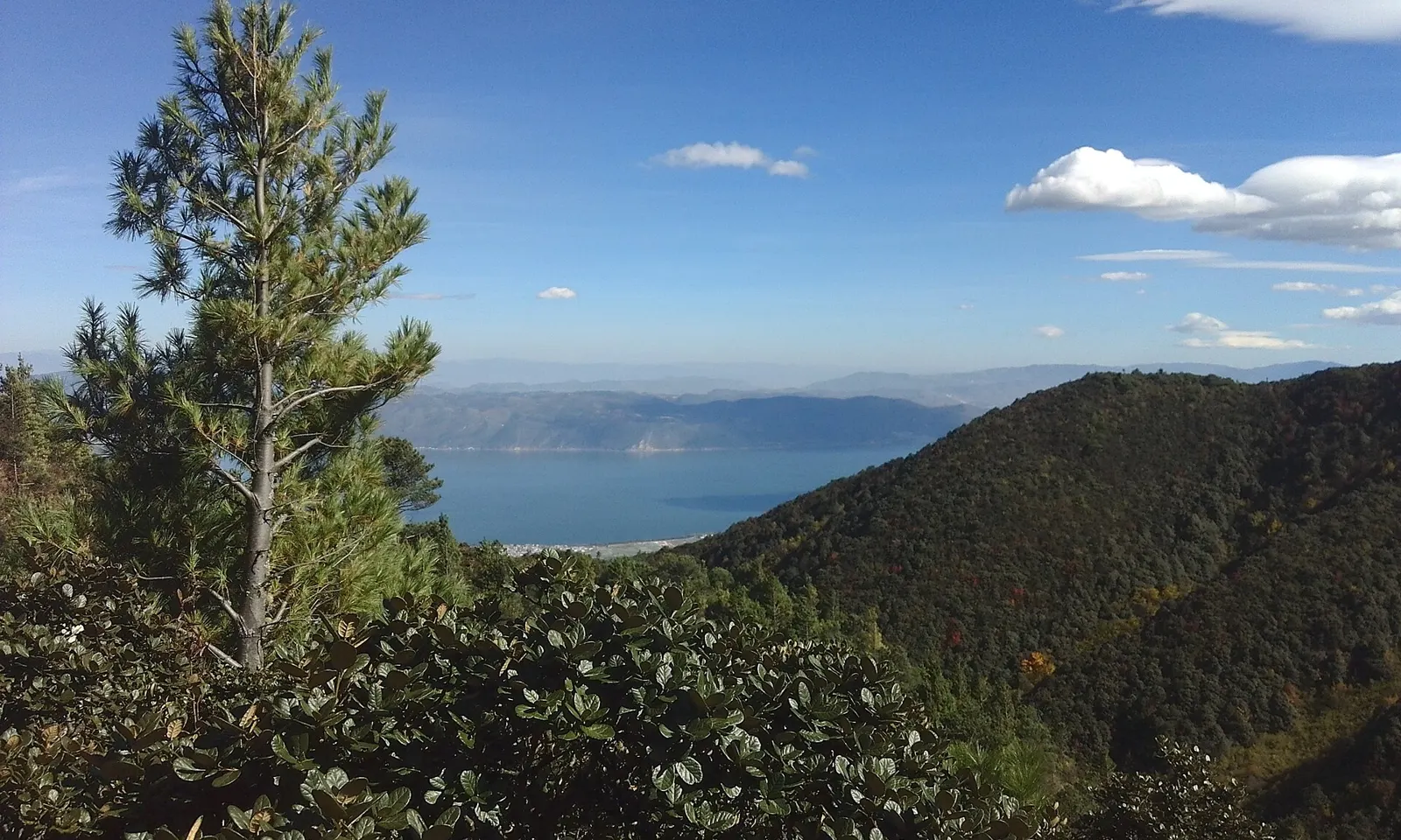
A pine on the slopes of Cangshan above Dali, with Erhai Lake far below under a blue sky

Photos: Toni Wöhrl (CC BY-SA 4.0), ZhaoScorpio (CC BY-SA 2.0), Michael Woodhead (CC BY-SA 2.0), Felix Filnkoessl (CC BY-SA 2.0)

Distance
About 11.5 km, Zhonghe to Gantong
Altitude
About 2,600 m
Height range
About 50 m end to end
Park entry
35 yuan

Why go

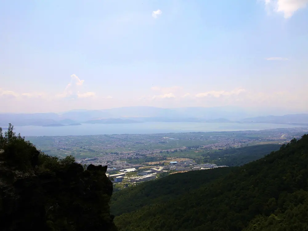
The Jade Belt Road, also called the Jade Cloud Road, is a paved path that runs along the side of the Cangshan range above Dali at about 2,600 metres, with views down over Erhai Lake and Dali Old Town. Its height varies by only about 50 metres, which makes it something rare in China: a long, level run at real altitude, under Huashan and Yunnan pines and rhododendrons. Above it the range climbs to 19 peaks, the highest of them Malong at 4,122 metres. The road is reached by cable car, and you can shorten or lengthen the run by choosing which lift to ride down.

The route

The usual run is the 11.5 km between the top of the Zhonghe chairlift and the Gantong cableway; Seven Dragon Girl Pool is about 4.5 km from Gantong. Some guides give the whole road as 18 km, running south to north past the Qingbi Creek canyon and the Cangshan metamorphic rocks to the pool. The surface is paved stone that gets slippery when wet. The Zhonghe chairlift lands directly on the road with no stairs; from the top of the Gantong cableway there is a short stair climb, 10 to 20 minutes. The Ximatan cableway goes much higher, to a top station at 3,920 metres near the summit.

When to go

September to November has the clearest skies and steadiest weather. March to May is also good, at about 10 to 20°C, and rhododendrons flower at height in May and June. The weather on the mountain changes quickly, so carry a layer and rain gear in any season.

Getting there

The fastest bullet trains from Kunming to Dali take about 2 hours, with dozens a day. The cable cars typically close between 4:30 and 5 pm, so plan to be down before 4:30.

Permits and booking

Entry to the Cangshan Geopark is 35 yuan and is required for all the cable cars; children under 1.2 metres and adults over 60 are free, according to one guide. Cable car fares differ between operators and between sources, so check them at the ticket office. Tickets are not interchangeable between companies, but a transfer from Zhonghe to Gantong can be arranged in advance. Rain closes all the cable cars at once.

How hard it is

Easy terrain at a demanding altitude. Expect your usual pace to feel harder at 2,600 metres, and take it gently on wet stone.

Where to sleep

Dali Old Town is the usual base, and the Jade Belt Road looks straight down on it.

Tips

  • Ride the Zhonghe chairlift up, run north to Gantong and ride down from there, with the transfer bought in advance.
  • Start by 9 or 10 am to have the whole day before the lifts close.

Sources

Distances, heights, seasons and permit rules were checked against these pages. Rules change, so check the park or trail authority before you go.