Rungs Labs

Rungs Pilgrimage · Running · South Africa

The 10 Best Places to Run in South Africa

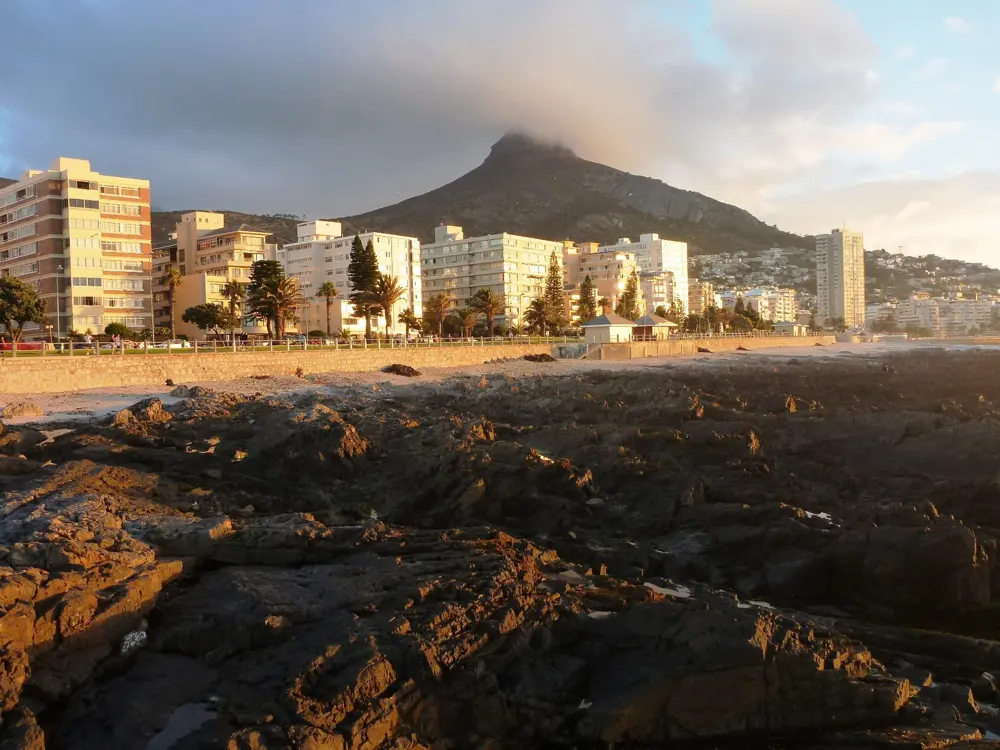
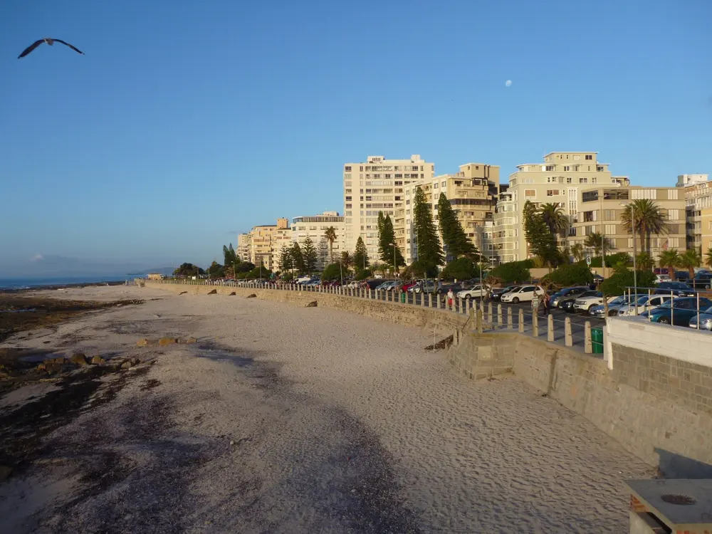
Table Mountain and the Sea Point Promenade, Cape Town, South Africa. Photo: Dietmar Rabich (CC BY-SA 4.0)

South Africa's big races, from the Comrades to the Otter, run on roads, beaches and mountain trails that are open to everyone the rest of the year. These ten take in Cape Town's mountain and promenade, the Jonkershoek valley, the Otter Trail and the Knysna Forest on the Garden Route, the Wild Coast, Durban and the Comrades road, the southern Drakensberg, Johannesburg and Soweto, the Big Five Marathon in Limpopo and the sandstone of Golden Gate.

For each place you get the classic runs, the best season, how to get there, entry rules, fees and closures, how hard it is and where runners stay. Every fact comes from park authorities, race organisers or the other pages linked at the bottom.

Updated 2026-10-18

  1. 01Table Mountain and the Sea Point PromenadeCape Town, South Africa
  2. 02Durban's beachfront and the Comrades MarathonDurban and Pietermaritzburg, KwaZulu-Natal
  3. 03The Otter Trail and Storms River MouthTsitsikamma, Garden Route National Park, Eastern Cape
  4. 04Jonkershoek Nature ReserveStellenbosch, Western Cape
  5. 05Sani Pass and the Ultra-trail DrakensbergUnderberg, Southern Drakensberg, KwaZulu-Natal
  6. 06The Knysna Forest and the Knysna Forest MarathonKnysna, Garden Route, Western Cape
  7. 07Johannesburg: Zoo Lake, Westcliff and the Soweto MarathonJohannesburg, Gauteng
  8. 08The Wild Coast: Coffee Bay and the Wildcoast WildrunEastern Cape
  9. 09The Big Five Marathon at EntabeniEntabeni Game Reserve, Waterberg, Limpopo
  10. 10Golden Gate Highlands National ParkNear Clarens, Free State
01 / 10

Table Mountain and the Sea Point Promenade

Cape Town, South Africa
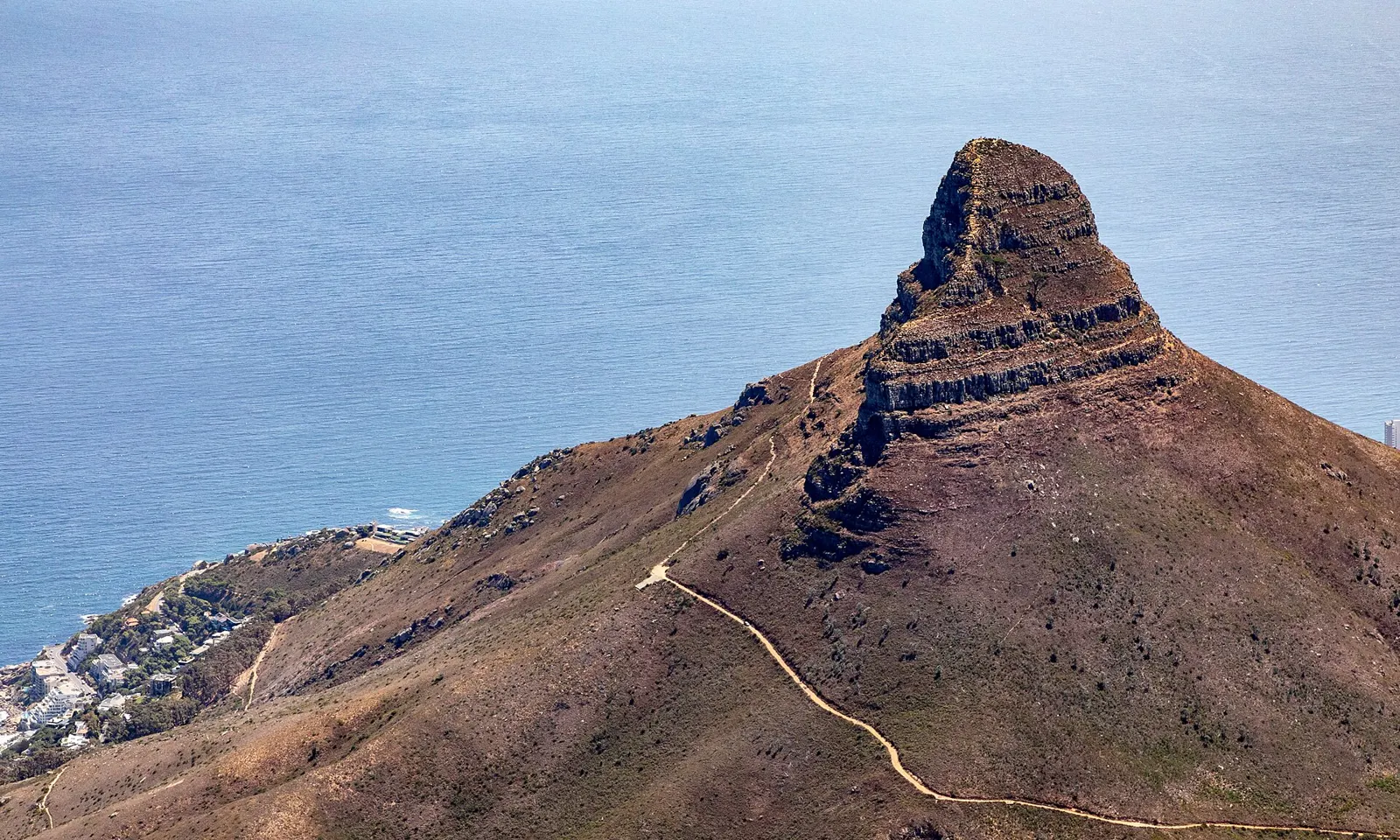
Lion's Head seen from Table Mountain, with the trail climbing its ridge and Sea Point on the shore below

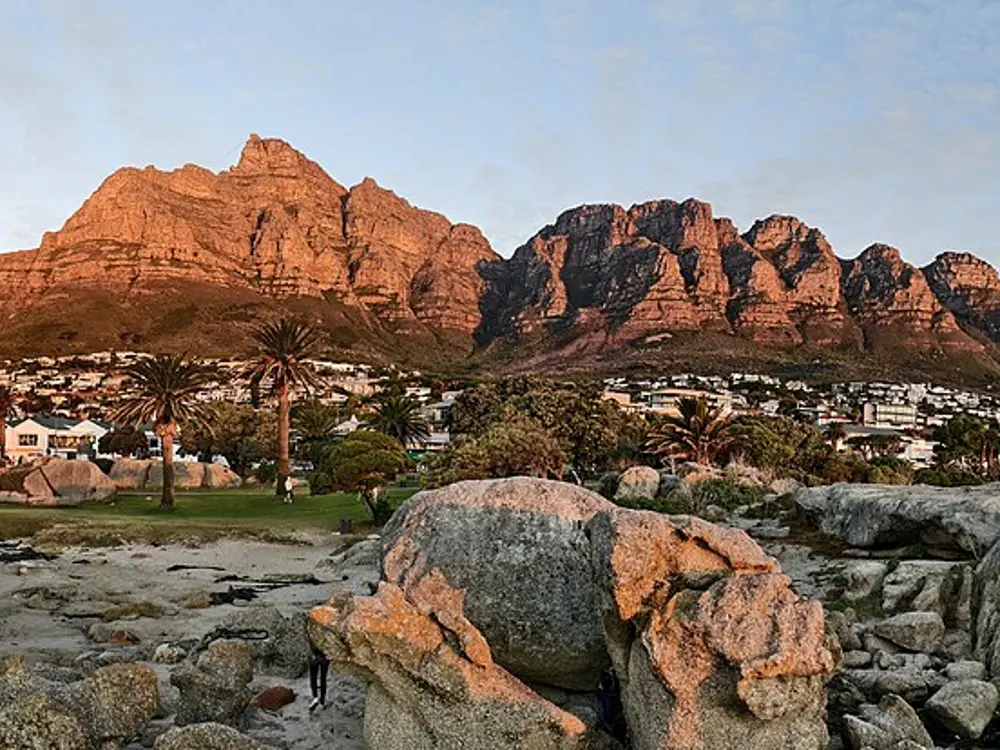
Photos: Dietmar Rabich (CC BY-SA 4.0), ~ souTH AFRica ~ (CC BY 3.0), ~ souTH AFRica ~ (CC BY 3.0), Krigore (CC BY-SA 4.0)

Distance
About 7 km, Sea Point Promenade
Lion's Head
5.3 km return, 669 m summit
Platteklip Gorge
650 to 680 m climb
Big race
Two Oceans 56 km ultra, April

Why go

Table Mountain National Park runs down the spine of the Cape Peninsula, and from Kloof Nek, the saddle above the city, paths run along the Twelve Apostles and up Lion's Head. At sea level the Sea Point Promenade is the city's everyday running track, busy from first light with runners, walkers and dogs. Each April the Two Oceans Marathon fills the peninsula's roads: the 56 km ultra starts in Newlands, loops through Muizenberg and Fish Hoek, climbs over Chapman's Peak and Constantia Nek and finishes at the University of Cape Town.

The route

The promenade runs about 7 km from Mouille Point to Bantry Bay, flat and car free. The Pipe Track leaves Tafelberg Road opposite the Kloof Nek parking and follows an 1887 water pipeline on level gravel above Camps Bay to Slangolie Ravine. Lion's Head is about 5.3 km return from the Signal Hill Road parking, about 390 m of climb, with chains and ladders on the shorter line near the top. Platteklip Gorge starts on Tafelberg Road about 1.5 km past the lower cableway station and climbs 650 to 680 m of rock steps in about 2.5 km.

When to go

Winter, June to August, brings rain on 9 or 10 days a month. Summer, November to February, is dry, but the south-easter blows hard and the bare slopes heat up early. Autumn and spring suit the mountain best. In 2027 the Two Oceans half marathon is on Saturday 3 April and the ultra on Sunday 4 April, and each distance grows to 21,000 places.

Getting there

Kloof Nek is a short ride from the city centre; the Lion's Head parking is just off it on Signal Hill Road.

Permits and booking

No permit or fee is needed for Lion's Head, the Pipe Track, Platteklip or the promenade. Conservation fees apply only at pay points such as Cape of Good Hope, Boulders and Silvermine (R110, R55 and R44 for South African adults until 31 October 2026, when new tariffs apply). The Two Oceans ultra needs a sub five hour marathon run between 1 May 2026 and 7 March 2027, and most places go by ballot.

How hard it is

The Pipe Track and promenade are easy. Lion's Head and Platteklip are steep and exposed, and Platteklip's polished rocks are slippery going down. Armed robberies were reported on Lion's Head and Signal Hill in 2025. In 2026 SANParks closed the Lion's Head Jeep Track from 20 April to 20 June for maintenance and shut the summit after the 11 May storm; the summit path has reopened, but the new chains and staples stayed closed until they are certified safe, and SANParks asks visitors to use the spiral path.

Where to sleep

Sea Point and Green Point put you on the promenade and a short drive from Kloof Nek.

Tips

  • Save the park emergency number, 086 110 6417, and run in daylight in a group: SANParks advises four or more.
  • Check SANParks notices before a Lion's Head run, and take the spiral path if the chains are closed.
  • Carry at least a litre of water on Lion's Head and Platteklip.
02 / 10

Durban's beachfront and the Comrades Marathon

Durban and Pietermaritzburg, KwaZulu-Natal

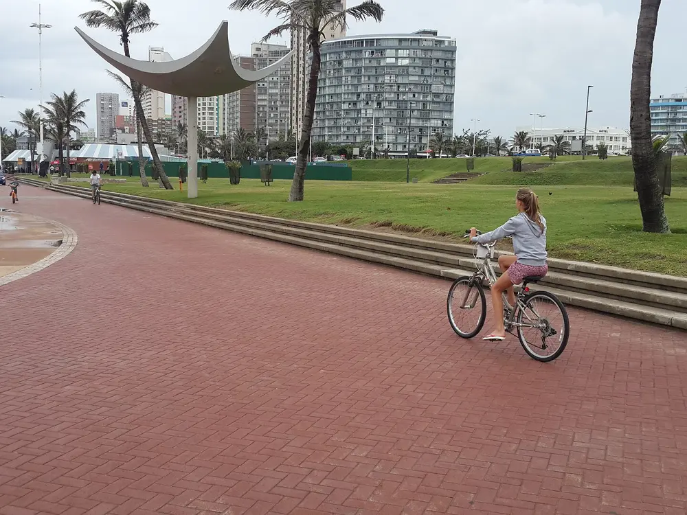
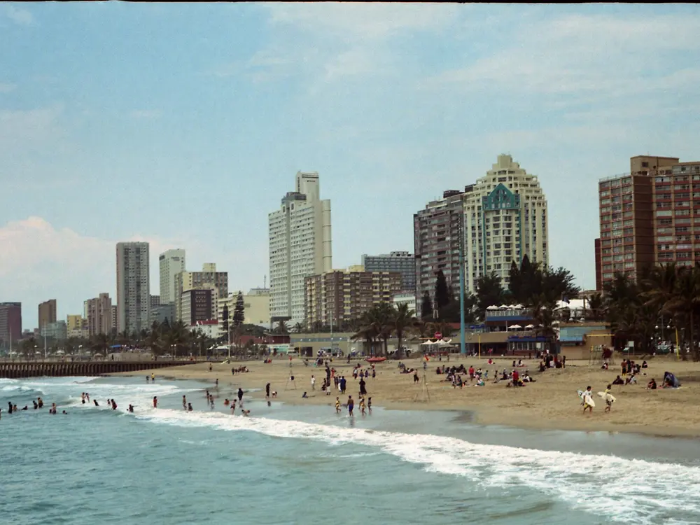
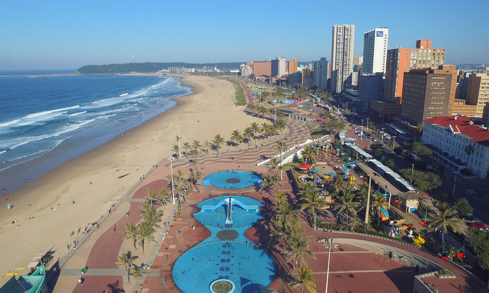
Durban's beachfront from above, with the promenade, pools and hotels beside the Indian Ocean

Photos: JasonSmuts (CC BY-SA 4.0), Hendrik van den Berg (CC BY 3.0), Upjav (CC0), Chris Bloom from Durban, South Africa (CC BY-SA 2.0)

Distance
About 8 km, North Pier to Blue Lagoon
Comrades
About 91 km down run, 13 June 2027
Cut-off
12 hours
2027 field
Capped at 28,000

Why go

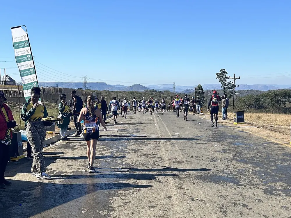
Durban's promenade follows the Indian Ocean from North Pier at the harbour mouth, past the city beaches, to Blue Lagoon Park where the Umgeni River meets the sea. It is a wide brick path with open views of the water, and it is where the city runs. Inland, the road between Pietermaritzburg and Durban carries the Comrades Marathon, first run on 24 May 1921. Its direction changes each year: up runs start in Durban, close to sea level at 8 m, and down runs start in Pietermaritzburg at 655 m. Between them lie the five hills runners name: Cowies Hill, Fields Hill, Botha's Hill, Inchanga and Polly Shortts.

The route

The promenade runs about 8 km one way, so an out and back gives up to 16 km. Join it from Timeball Boulevard, Erskine Terrace, Tambo Parade or Snell Parade; from downtown it runs about 2 miles south and 3 miles north. The beach beside it has firm sand near the water for about 3.5 km. From Blue Lagoon you can carry on along the Umgeni River path, about 4 km out and back. Further north, the Umhlanga promenade passes the lighthouse and Whalebone Pier, about 5 km out and back, and Kenneth Stainbank Nature Reserve has about 13 km of trail. The 2027 Comrades is the centenary edition and a down run, from Pietermaritzburg City Hall to a new finish at Kings Park Stadium in Durban, around 91 km.

When to go

Durban's summers are long, hot and humid, and January to March are the wettest months, with frequent thunderstorms. Winters are mild and dry, July is the driest month, and that is the easiest time for long runs. The Comrades is held in May or June; the 2027 race is on Sunday 13 June.

Getting there

King Shaka International Airport is at La Mercy, north of the city, about 30 minutes by car or shuttle from Durban. For a down run you start at Pietermaritzburg City Hall, so plan how you will reach it before dawn.

Permits and booking

The promenade is free and open to all. Comrades entry needs a marathon finished in under five hours between 15 June 2026 and 3 May 2027. Fees are R1,200 for South Africans, R2,000 for other Africans and R4,500 for international runners. Green Number and Yellow Number runners entered first in August 2026, and general entries went to a ballot drawn on 23 September 2026. In August 2026 Athletics South Africa said the 2027 race would not be on its calendar after Comrades Marathon Association members voted not to affiliate with it or with KwaZulu-Natal Athletics; the association says it can run the race independently, and entries went ahead. Check the latest before you book.

How hard it is

The promenade is flat; take care on the bridges over the Umgeni River, where the sidewalk is very narrow. The Comrades is a full ultra on hilly roads, and its 12 hour cut-off is strictly enforced.

Where to sleep

Stay on the beachfront to run the promenade from the door. Comrades runners on a down run often spend the night before in Pietermaritzburg.

Tips

  • Run the promenade early, before the heat and the crowds build.
  • Add the Umgeni River path from Blue Lagoon for a longer morning.
03 / 10

The Otter Trail and Storms River Mouth

Tsitsikamma, Garden Route National Park, Eastern Cape

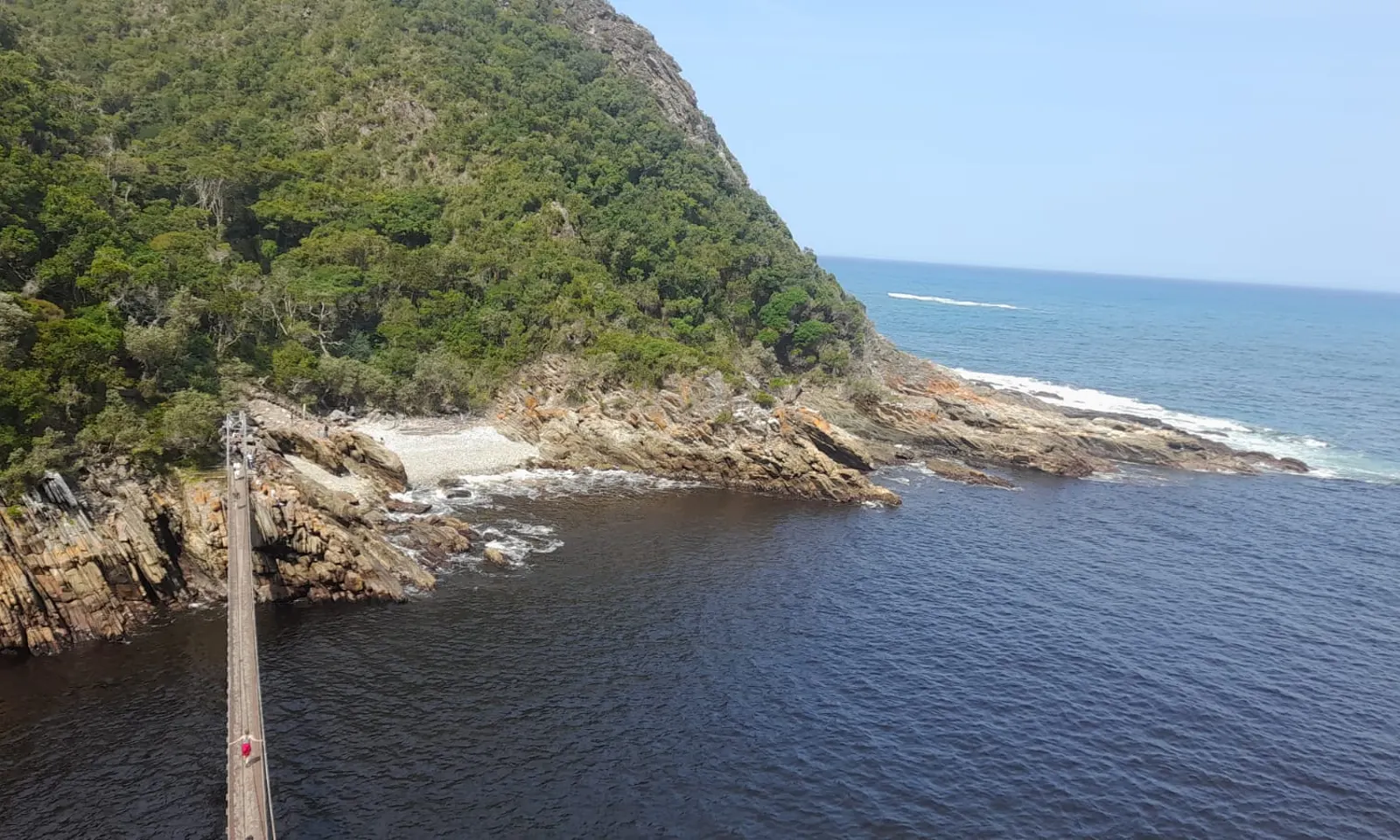
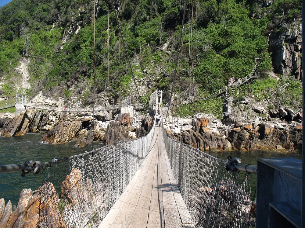
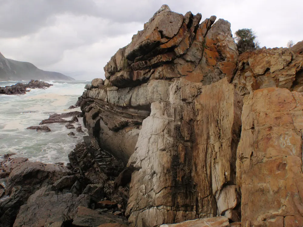
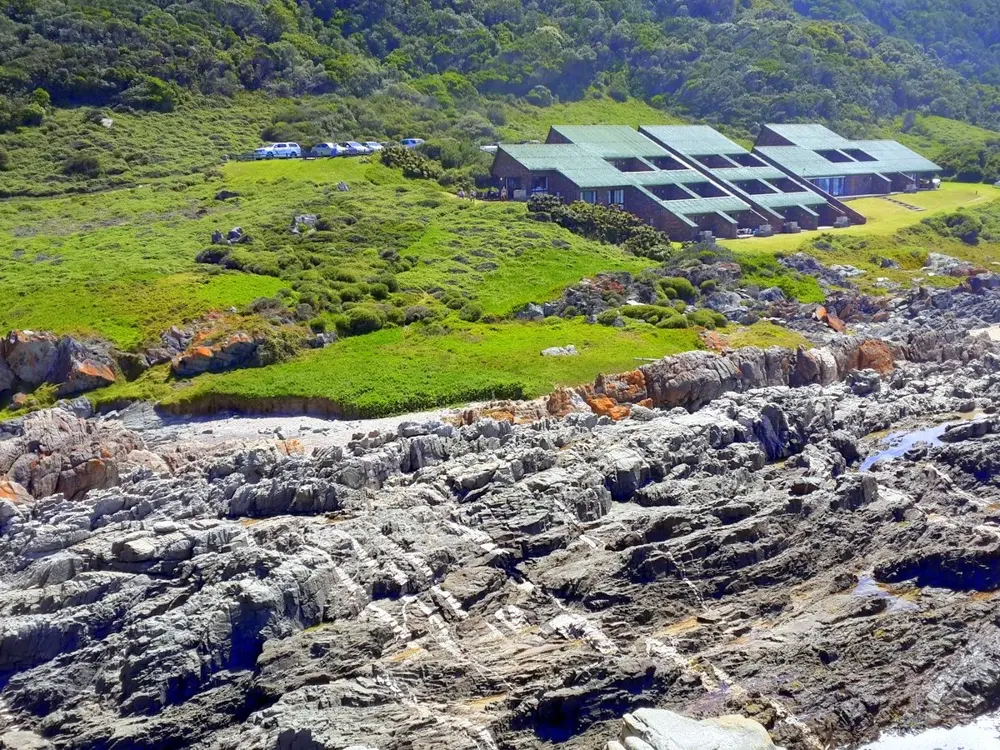
The Storms River mouth between forested cliffs, with the suspension bridge crossing the water

Photos: M J Hurter (CC BY 4.0), Anagoria (CC BY 3.0), Peter Southwood (CC BY-SA 3.0), Hendrik van den Berg (CC BY 3.0)

Distance
42 km, Storms River Mouth to Nature's Valley
Climb
Over 2,400 m, 11 big climbs
Cut-off
9 hours race, 11 hours challenge
Day run
Waterfall Trail, about 6 km

Why go

The Otter Trail follows the Tsitsikamma coast for 42 km from Storms River Mouth Rest Camp to Nature's Valley, over forested headlands, rocky shore and river mouths. Hikers take five days and book a year ahead. Once a year the Otter African Trail Run, the Grail of Trails, races the whole of it in a day, with eleven big climbs and four river crossings. You do not need a race number to run here: the first stretch of the trail and the camp's short trails are open to day visitors.

The route

From Storms River Mouth, the Mouth Trail is a 1.2 mile boardwalk through forest to the suspension bridge over the river mouth, with a steep path on to a lookout. The Lourie Trail, just over half a mile, ends at a sea view, and the Blue Duiker Trail is 2.3 miles. The Waterfall Trail, 3.7 miles, is the first section of the Otter Trail: rock hopping along the shore, past a cave, to a waterfall. The race alternates between the Classic, from Storms River to Nature's Valley, and the Retto, the other way. The 2026 race ran Retto, from Nature's Valley to Storms River, in cool, wet weather, and 241 runners finished inside nine hours.

When to go

The weather is mild all year. Rain can fall in any month and peaks in summer; December to February are the warmest months and July the coldest. The race is in late September: in 2026 the Otter Challenge ran on 23 and 24 September and the Otter Race on 25 and 26 September, each with a prologue on the first day.

Getting there

Storms River Mouth is off the N2, on tarred roads all the way. George Airport is the closest, about 105 miles away, and Port Elizabeth (Gqeberha), about 125 miles away, also has an airport. The gate opens at 07:00.

Permits and booking

Day visitors and overnight guests pay a daily conservation fee: until 31 October 2026 it is R82 for South African adults, R167 for SADC nationals and R367 for international visitors. Hiking the Otter Trail needs a booking, often a year in advance, and numbers are strictly limited. Race entries are sold through Howler, and the prologue seeds the first start group of 24 men and 16 women.

How hard it is

The Waterfall Trail involves plenty of climbing over rocks. The full trail is one of the most challenging marathon distance trail runs, at the top end for technical difficulty: constantly up and down, on rugged ground, with river crossings that have to be timed with the tide. Do not cross the Bloukrans estuary at high tide. The race has a 9 hour cut-off, the challenge 11 hours, and the course closes at 16:00.

Where to sleep

Storms River Mouth Rest Camp has seafront camp sites, forest huts, chalets, oceanettes and cottages, so you can run straight from the door. Nature's Valley is at the other end of the trail.

Tips

  • Check the tide tables before any run that crosses a river mouth.
  • Arriving late, collect keys from security before 18:00 (April to September) or 19:00 (October to March).
  • The trail is one way, so arrange transport back to the start.
04 / 10

Jonkershoek Nature Reserve

Stellenbosch, Western Cape

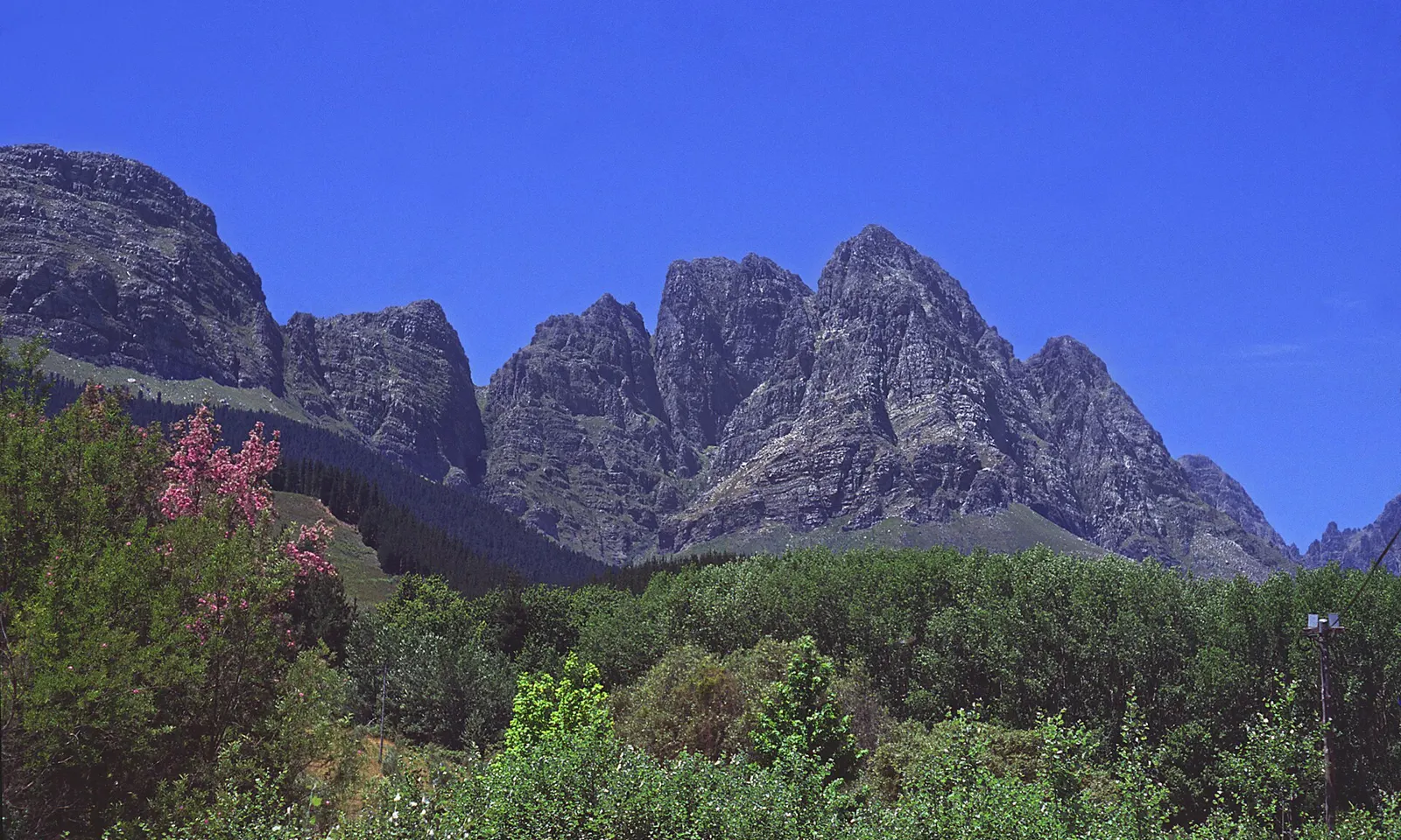
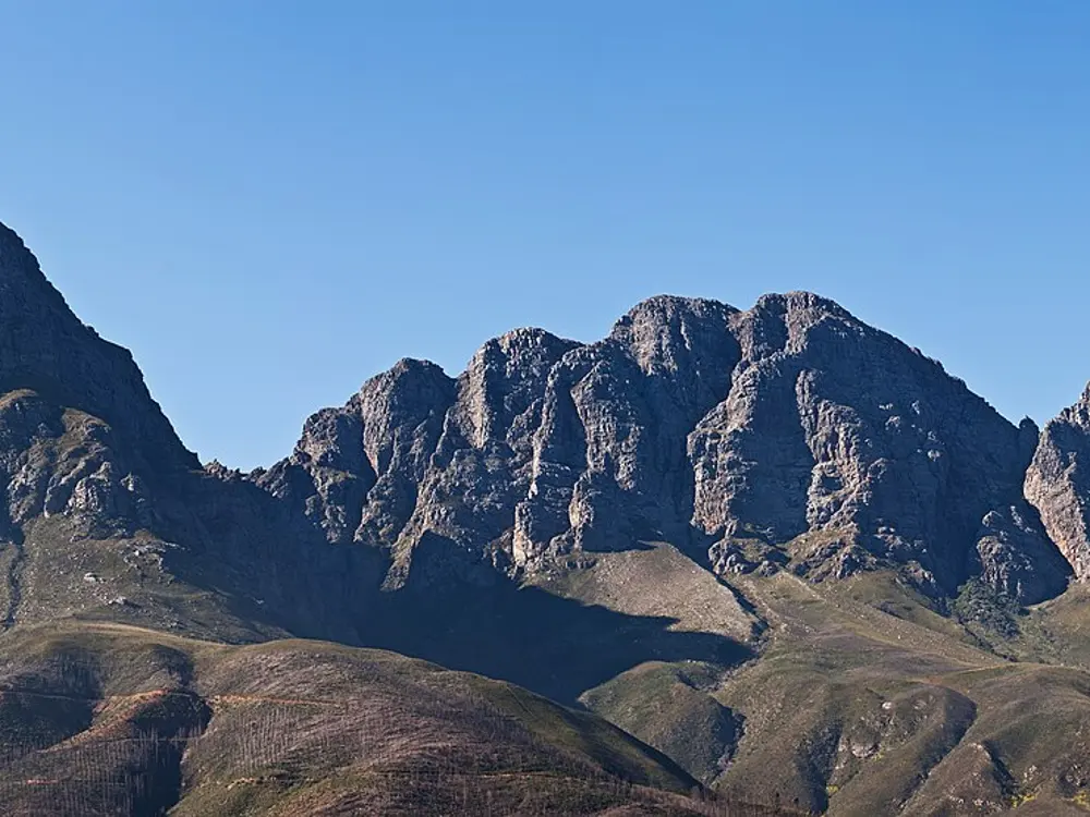
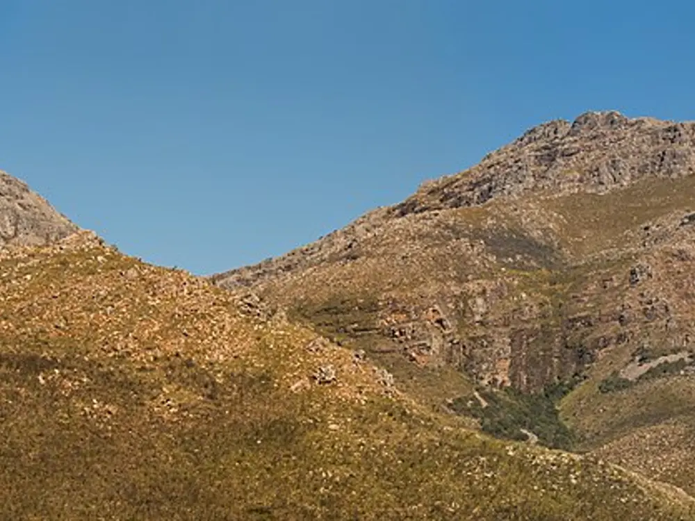
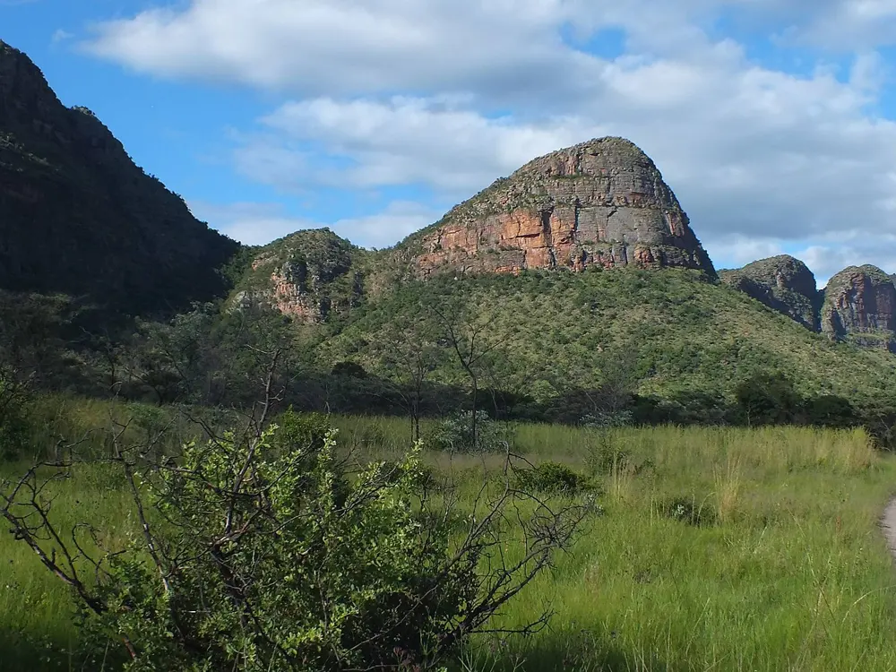
The twin peaks of the Jonkershoek valley above the forest, under a clear blue sky

Photos: KodachromeFan (CC BY-SA 3.0), Glany Saldanha (CC BY 3.0), Julie Anne Workman (CC BY-SA 3.0), Julie Anne Workman (CC BY-SA 3.0)

Distance
17 km, Panorama Circuit
Guardian Peak
1,227 m
Day fee
R80 adults
From town
About 9 km

Why go

The Jonkershoek valley runs east into the mountains about 9 km from Stellenbosch, and CapeNature's reserve covers its peaks and kloofs. Four rivers rise in these mountains and feed waterfalls and rock pools along the trails, which is why CapeNature tells you to bring a swimming costume. Runners use the valley for everything from a gravel loop to long mountain days above the Eerste River.

The route

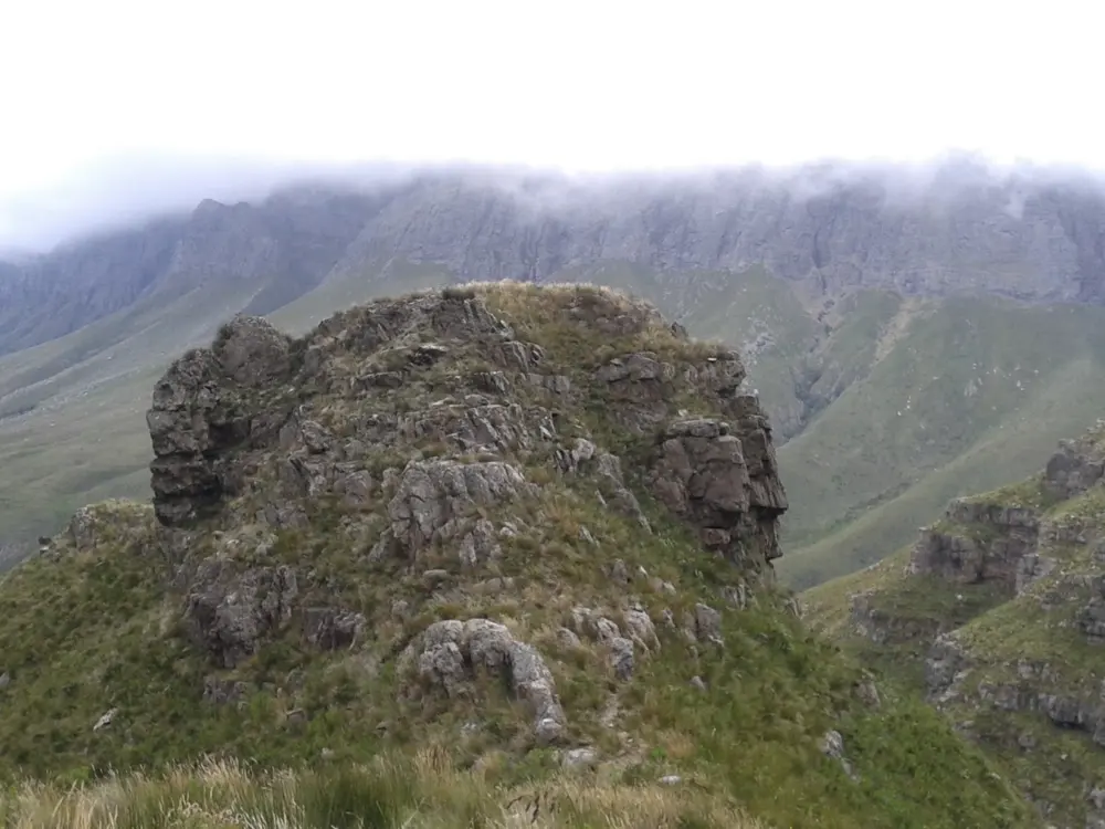
Tweede Waterval is 6.4 km, easy along the Eerste River, then a steep climb up a gorge to the falls. Swartboskloof to Sosyskloof is 5.3 km, or 6.9 km by the lookout, through indigenous forest. The Panorama Circuit, 17 km, leaves the bridge on the hairpin bend of the Circular Drive, climbs steeply to a contour path below the Banhoek peaks, crosses the Dwarsberg plateau to Kurktrekkernek, and offers a detour to Guardian Peak at 1,227 m. The Swartboskloof Trail, 18 km, climbs above 900 m in its first 4.5 km. On the forestry land, a 10 km gravel loop circles the valley anticlockwise and is shared with mountain bikers. Next door, AssegaiBosch has 3 km and 5.5 km loops along the river.

When to go

The reserve opens at 07:00 from 1 September to 30 April and at 08:00 from 1 May to 31 August, and everyone must be out by 18:00. Trail start cut-offs are strict: no access to the Panorama and Swartboskloof trails after 10:00, Sosyskloof after 12:00 and the waterfalls after 14:00.

Getting there

Drive the Jonkershoek valley road from Stellenbosch. CapeNature says parking on the Circular Drive has been closed since 23 March 2026, which means a walk of about 5 km to the trails, while another notice on its page allows 20 cars on a first come basis. Check before you go.

Permits and booking

Day access costs R80 for adults and R55 for children aged 4 to 17. Hiking permits can be bought ahead on the MTO website or at the MTO gate on the day, and mountain biking on the MTO forestry land costs extra. CapeNature accepts Wild Cards on its hiking trails if you show the card or a confirmation letter. The reserves limit how many people use the trails each day.

How hard it is

Tweede Waterval and the gravel loop are easy. The Panorama and Swartboskloof trails are serious mountain days of about six hours on foot, and the Panorama, Swartboskloof and Tweede Waterval paths are slippery when wet. The Jonkershoek Mountain Challenge (38 km, 21.5 km and 12.5 km) is the valley's classic race, though the latest results we found are from May 2023.

Where to sleep

Stay in Stellenbosch, a short drive from the gate.

Tips

  • Start the Panorama Circuit early: the gate stops you after 10:00.
  • Save the CapeNature office number, 087 087 4118, and check the parking notice before driving out.
05 / 10

Sani Pass and the Ultra-trail Drakensberg

Underberg, Southern Drakensberg, KwaZulu-Natal

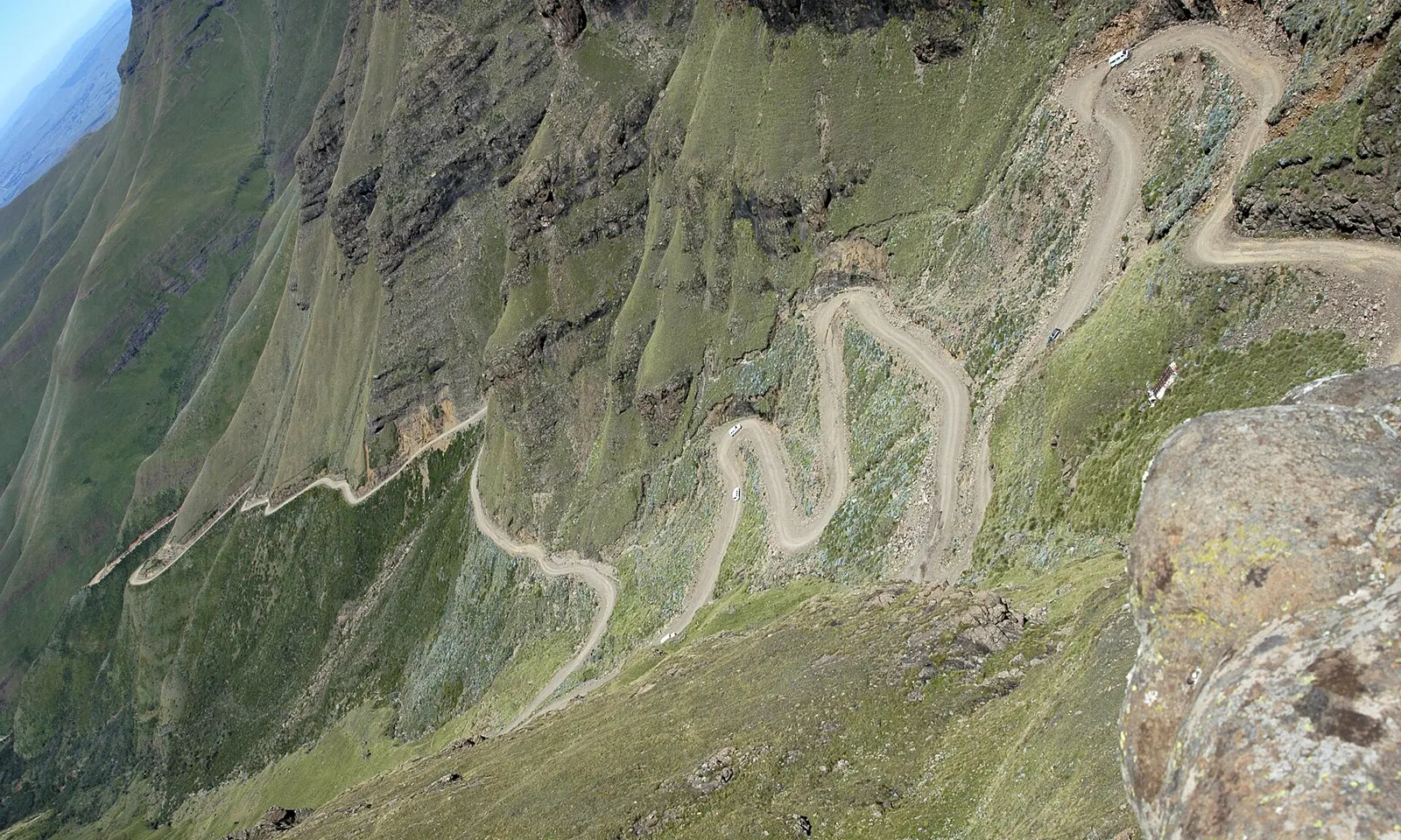
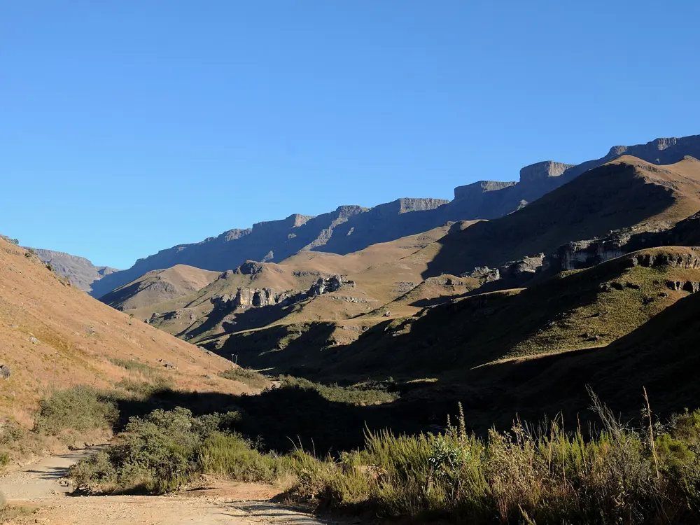
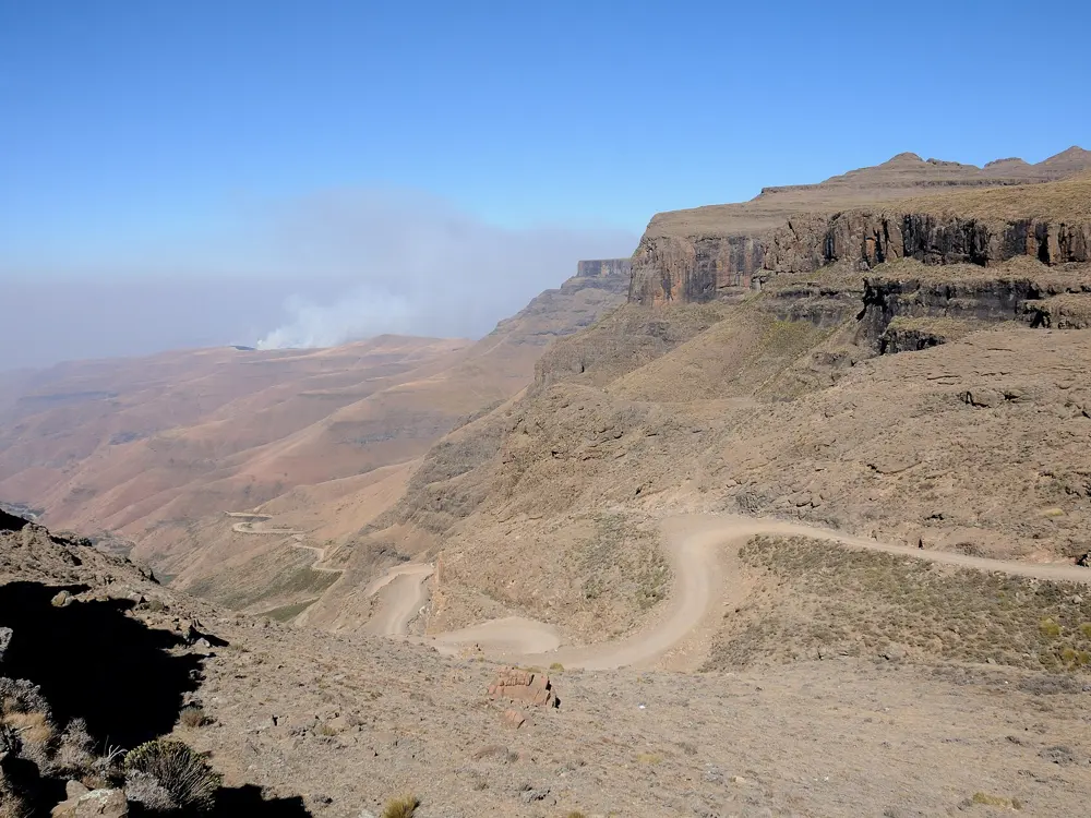
The gravel road of Sani Pass zigzagging up a steep green slope of the Drakensberg escarpment

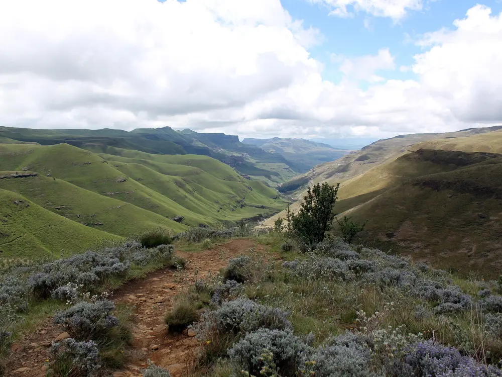
Photos: Amada44 (Public domain), Anagoria (CC BY 3.0), Josep M. Gracia (CC BY-SA 4.0), Josep M. Gracia (CC BY-SA 4.0)

Distance
62 km, Giant's Cup Uncut
Big race
Ultra-trail Drakensberg, late April
High point
Thabana Ntlenyana, 3,482 m
Miler
160 km, 6,200 m of climb

Why go

Below the escarpment where Sani Pass climbs into Lesotho, the Giant's Cup Hiking Trail runs from the heights of the pass to the valley at Bushman's Nek, a five day hike through Cobham and Garden Castle. Each April the Ultra-trail Drakensberg turns the valley around Premier Resort Sani Pass into a race village for nearly 1,000 athletes. Its longest race summits Thabana Ntlenyana, at 3,482 m the highest peak south of Kilimanjaro.

The route

The 2026 event offered six races. The UTD Miler, 160 km with 6,200 m of climb, runs the Giant's Cup Trail and then climbs Sani Pass to Thabana Ntlenyana. The UTD100 follows the Giant's Cup Trail, climbs Sani Pass and crosses the 12 Apostles Traverse and Khanti Ridge. The Giant's Cup Uncut, 62 km, does the five day hiking trail in a single day. The Sundowner Run, 34 km, goes from Castleburn to Premier Resort Sani Pass, often finishing into the dark. The Drakensberg Rock Jumper, about 25 km, starts at the resort with a climb to Salt and Pepper, and the Gxalingenwa Adventure, 14 km with 487 m of climb, is the introduction to mountain trail running.

When to go

Come for the race in late April: in 2026 it ran from 24 to 26 April over a long weekend, and race calendars list 23 to 25 April 2027. Outside race week, the Giant's Cup Trail can be hiked on a booking.

Getting there

Underberg is the base. Pietermaritzburg has the nearest airport, 89 km away. Sani Pass is a gravel road, and the South African border post sits at its foot, about 8 km below the top. One guide gives border hours of 6am to 6pm and another core hours of 8am to 4pm, so check before you drive up, and allow time to clear both posts.

Permits and booking

Book the Giant's Cup Trail with Ezemvelo KZN Wildlife (+27 33 845 1000) and sign the Mountain Rescue Register at the Cobham office before you start. Above the South African post you are entering Lesotho: carry a passport valid for at least six months, and check whether your nationality needs a visa. Race entries for 2026 started at R750 through Quicket and closed on 2 April or when full.

How hard it is

The Miler has a 45 hour cut-off, the UTD100 26 hours and the Giant's Cup Uncut 14 hours. The longer races cross some of the range's most technical ground, at altitude, and the Sundowner can finish in the dark. Only the 14 km race has no cut-off.

Where to sleep

Premier Resort Sani Pass hosts the race village. Himeville and Underberg, the small towns below the pass, have more places to stay and eat.

Tips

  • Carry your passport on any run that goes over the top of Sani Pass.
  • Leave time between the two border posts so you are not caught after closing.
06 / 10

The Knysna Forest and the Knysna Forest Marathon

Knysna, Garden Route, Western Cape

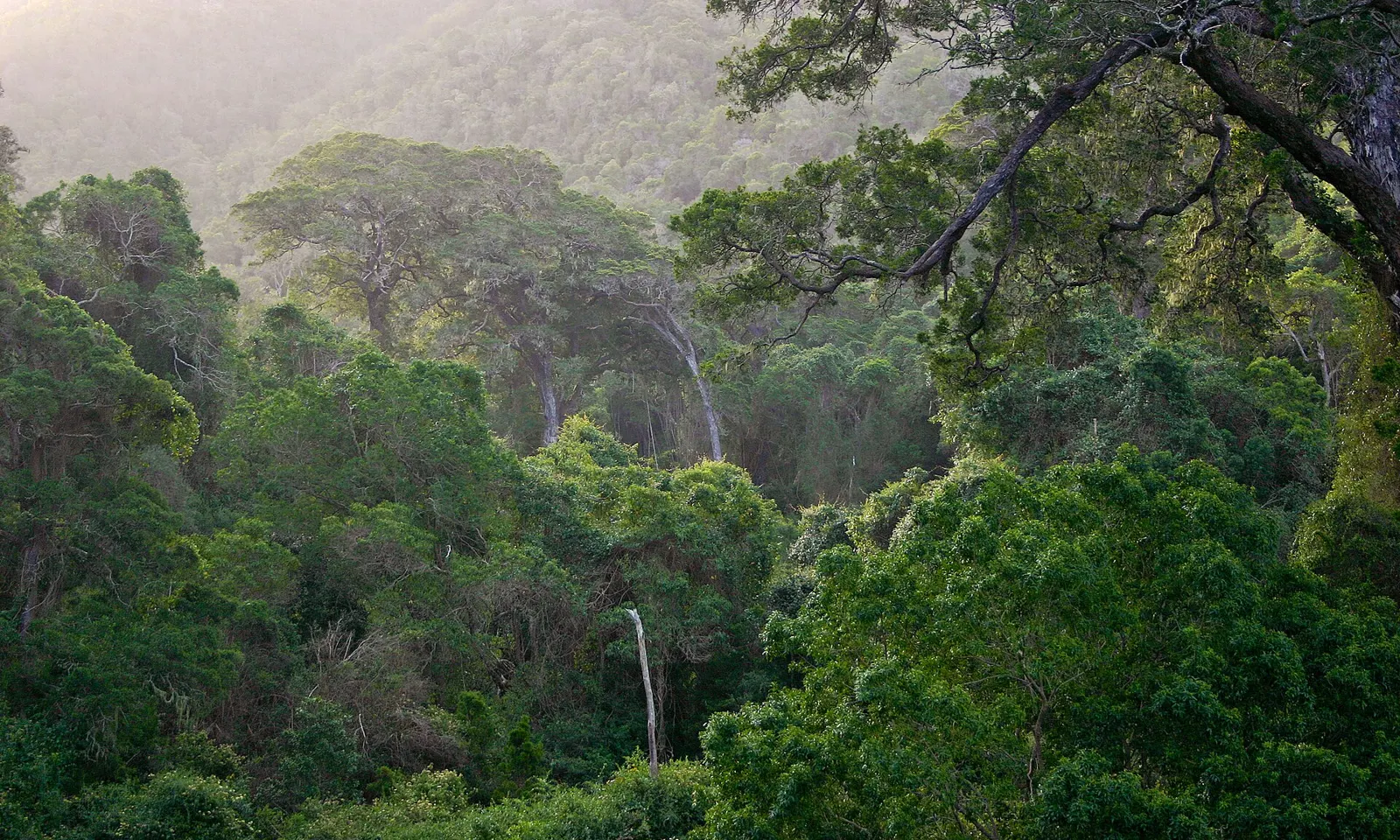
Tall indigenous trees of the Knysna Forest rising from a misty valley

Photos: Androstachys (Public domain), South African Tourism from South Africa (CC BY 2.0), robertsharp (CC BY 2.0), Dietmar Rabich (CC BY-SA 4.0)

Distance
42.2 km, or 21.1 km half
Next race
3 July 2027
Cut-off
6 hours, 3.5 hours for the half
Forest loops
7 to 9 km at Diepwalle

Why go

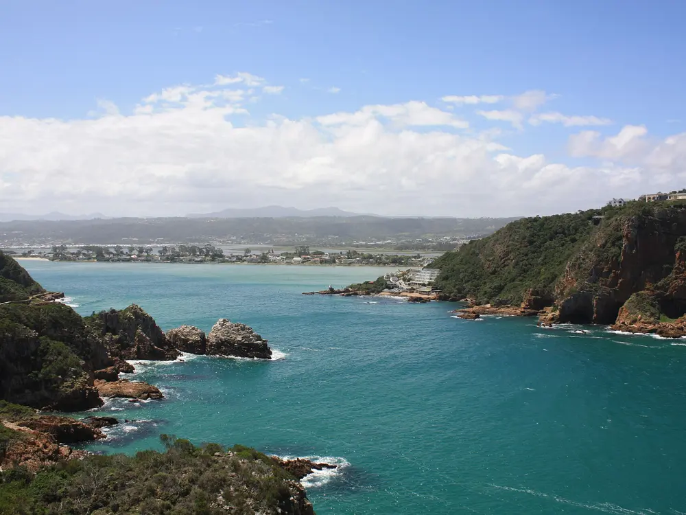
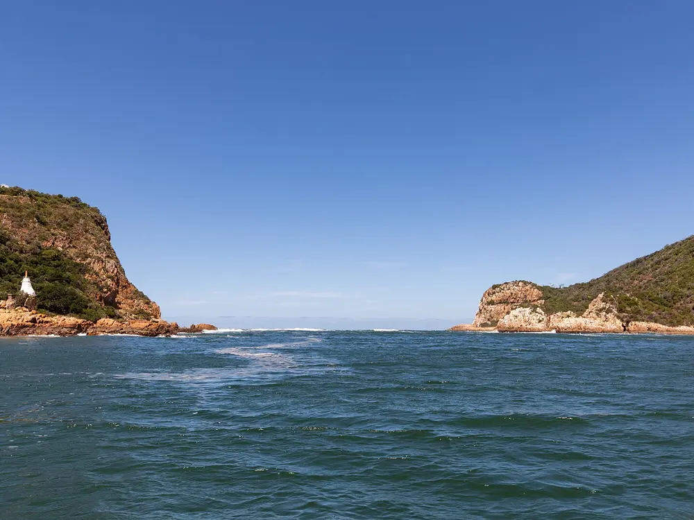
The Knysna Forest Marathon runs mostly deep in the forest above Knysna, with views over the estuary to the Heads. It belongs to the Knysna Oyster Festival, which ran from 3 to 12 July 2026, and the 2026 race was its 41st edition. It is also a Comrades qualifier. Away from race day, the forest station at Diepwalle has three marked loops through the same tall forest.

The route

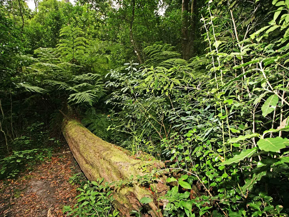
The race starts in the Glebe and finishes in town. At Diepwalle, the Elephant Walk is three circular routes marked with coloured elephants: the black route, 9 km and easy; the white route, 8 km from the forest station or 6.5 km from the Diepwalle picnic site; and the red route, 7 km and harder. Linked, they make a long day of about 18 to 20 km. In places they share the path with the Outeniqua Hiking Trail, so expect its footprint markers among the elephants.

When to go

The race is in early July: 3 July 2027, with the marathon starting at 07:00 and the half at 08:00. The forest paths are slippery after rain, so pick a dry spell for the Elephant Walk.

Getting there

Private cars are not allowed on the race route or near the start. Free race taxis leave Vigilance Drive from 04:30, the last at 06:00, and the roads are busy, so do not be late. For Diepwalle, take the R339 Uniondale turnoff about 4 km from Knysna, follow it for 15.5 km, turn right to Diepwalle and drive 1 km to the forestry station.

Permits and booking

For 2027 the marathon costs R350 and the half R300, capped at 1,250 and 6,750 runners. Charity places open on 1 December 2026, loyalty entries for 2026 runners on 11 January 2027 and general entries from 25 January to 23 May 2027 or until sold out. Runners without a current ASA licence pay R50 for a temporary one. Collect your number on Friday 2 July at Knysna High School's sports field on Waterfront Drive; there is no registration on race morning. Walking permits for Diepwalle are issued at the forestry station, or from a self-issue box when it is closed, and Wild Card members walk free.

How hard it is

The marathon has a 6 hour cut-off for the full and 3.5 hours for the half. Minimum ages are 20 for the full and 16 for the half, and music players are not allowed. On the Elephant Walk, carry a map: guides advise against walking it alone if you do not know the forest.

Where to sleep

Stay in Knysna near the waterfront, close to registration, the finish and the taxi pick-up.

Tips

  • Call the Diepwalle forestry station (044 382 9762) before you go.
  • Book early: general entries can sell out before the May closing date.
07 / 10

Johannesburg: Zoo Lake, Westcliff and the Soweto Marathon

Johannesburg, Gauteng

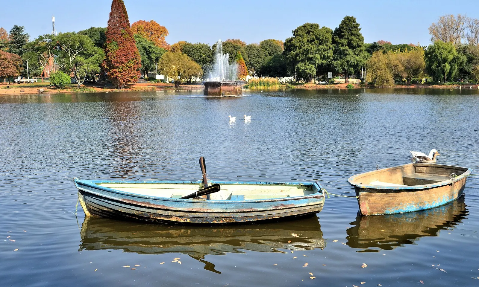
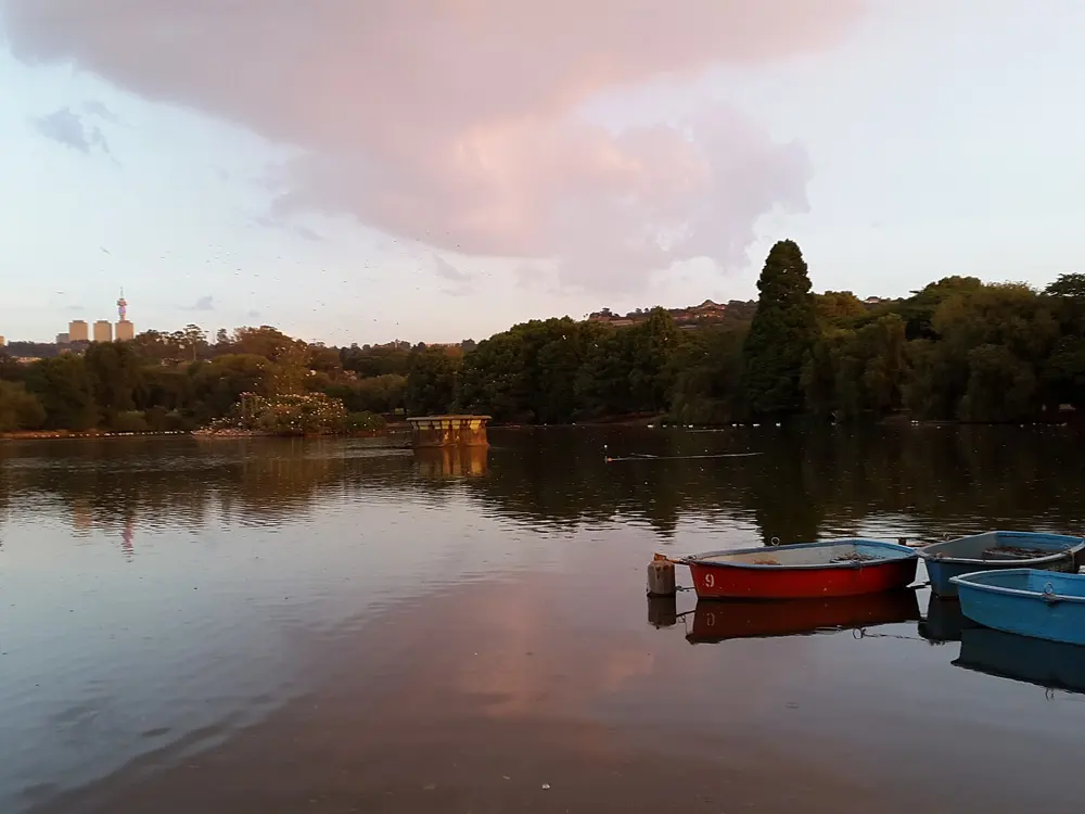
Rowing boats moored on Zoo Lake in Johannesburg, with trees and the fountain behind

Photos: Ossewa (CC BY-SA 4.0), George Thomas Stevenson (CC BY-SA 4.0), Dyltong (CC BY-SA 4.0), Anagoria (CC BY 3.0)

Distance
8 km, Zoo Lake and the Westcliff stairs
Altitude
1,753 m
Big race
Soweto Marathon, 29 November 2026
2025 race
18,000 runners

Why go

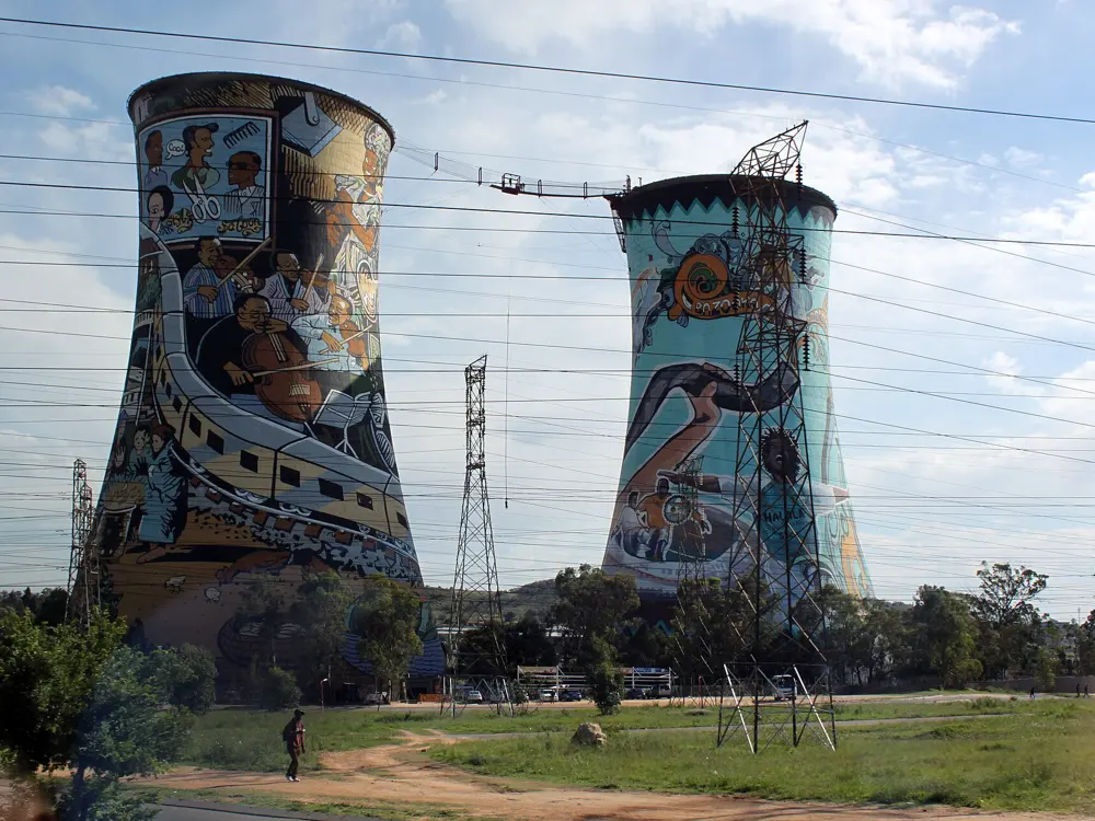
Johannesburg sits at 1,753 m, and its runners train at altitude without leaving the city. Parkview, with Zoo Lake and the stone stairways of Westcliff, is one of the best areas for it, and Emmarentia Dam and the Botanical Gardens are close by. In November the Soweto Marathon, first run in 1991 and known as the People's Race, takes the city's runners past Vilakazi Street, the street that was home to both Nelson Mandela and Archbishop Desmond Tutu, and the Hector Pieterson Memorial.

The route

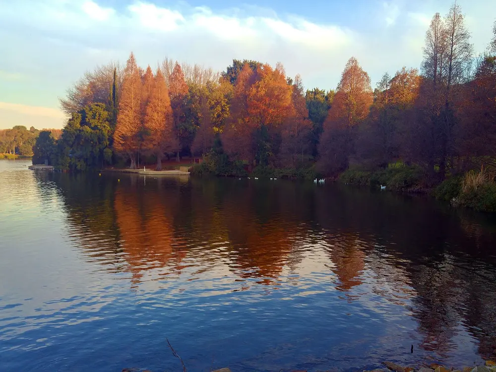
Start with the shady 1 km cement circuit around Zoo Lake, take the dirt path south to Princess of Wales Terrace, then Lower Park Drive, Jan Smuts Avenue and Westcliff Drive. Crescent Drive gives views over the city, and a gate leads to the steep stone stairs up to Wexford Avenue, Pallinghurst Road and Woolston Road, 4.25 km from the start. Back the same way it is 8 km with about 98 m of climb. Emmarentia has a 3.5 km paved loop, Delta Park a 5 km dirt loop, and the Braamfontein Spruit trail heads north from there. Klipriviersberg Nature Reserve, 10 km south of the centre, has a 12 km Wildlife Loop. The 2026 listing describes the Soweto Marathon as a loop from the Johannesburg Expo Centre at Nasrec, with a half marathon and a 10 km on the same morning.

When to go

Summer, October to April, brings hot days and afternoon thunderstorms, almost daily from November to March, so run in the morning. Winter, May to September, is dry and sunny by day with cold nights. The 2026 Soweto Marathon is on Sunday 29 November, starting at 06:00.

Getting there

O. R. Tambo International Airport is the city's main airport. For Zoo Lake, the nearest bus stop is at Jan Smuts Avenue and Lower Park Drive. Some of the trail areas further out can only be reached by car.

Permits and booking

Zoo Lake, Westcliff and Emmarentia are free public spaces. Soweto Marathon entries are sold through runningcalendar.co.za, and the marathon field is capped.

How hard it is

The Parkview route is short but hilly, with the stairs as the hard part. The altitude makes every effort harder for visitors from the coast. Sources disagree on the Soweto Marathon's total climb, 280 m or 526 m; either way it rolls, and the organisers advise training for heat and altitude.

Where to sleep

Stay in the northern suburbs near Parkview to run Zoo Lake and Westcliff from the door, and get to Nasrec early on race morning.

Tips

  • Run the Westcliff stairs as repeats rather than once.
  • Finish before the afternoon storms in summer.
08 / 10

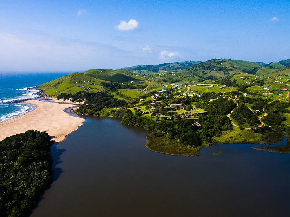
The Wild Coast: Coffee Bay and the Wildcoast Wildrun

Eastern Cape

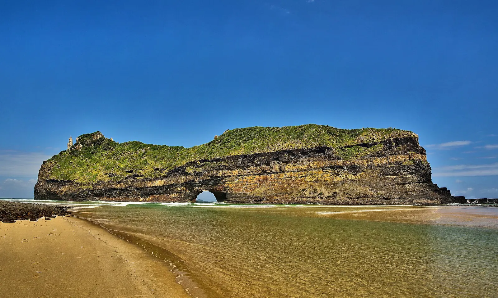
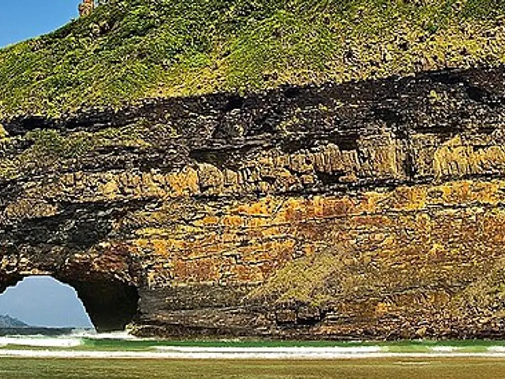
Hole in the Wall, a green-topped rock with an arch, standing off a sandy beach on the Wild Coast

Photos: Vincentvanoosten (CC0), Asdfjrjjj (CC BY-SA 4.0), Vincentvanoosten (CC0), Ryanj93 (CC BY-SA 4.0)

Distance
About 112 km over 3 days, Wildrun
Stages
44.2, 35.2 and 34 km
2026 race
12 to 16 September
Day run
About 11 km, Coffee Bay to Hole in the Wall

Why go

The Wild Coast is a long run of grassy hills, beaches and river mouths. Its landmark is Hole in the Wall, an arch the waves have cut through a wall of sandstone and shale at the mouth of the Mpako River, about 8 km south of Coffee Bay. Its Xhosa name, esiKhaleni, means place of sound, after the crack of the waves on the rock. The Wildcoast Wildrun runs three days down this coast from Kei Mouth and finishes at the arch.

The route

The Wildrun starts at Neptunes Cove in Kei Mouth with a pontoon ride across the mouth of the Kei River. Day one is the longest and ends at Kob Inn. Day two passes through Dwesa Nature Reserve to The Haven. Day three is the toughest, with a final hill that looks down on Hole in the Wall, where it ends. The route is unmarked, so navigation is part of the race. Further north, the Pondo Trail Run covers 103 km from Port Edward to Port St Johns, either as the Ultra in one stage or as the Coaster, a team race in legs of 36, 34 and 33 km. Without a race, run the coast from Coffee Bay to Hole in the Wall, about 11 km on foot.

When to go

The Wildrun was held from 12 to 16 September in 2026. The Pondo Trail Run was listed for 27 May 2026.

Getting there

Coffee Bay is reached through Mthatha (Umtata). The Baz Bus, a hop on, hop off backpacker bus, runs from Port Elizabeth or Durban, and intercity coaches stop at Mthatha, where Coffee Shack and Bomvu Backpackers run shuttles from the Shell Ultra City. Airlink flies daily from Johannesburg to Mthatha. After the Wildrun, transfers are offered from Coffee Bay to Mthatha, East London Airport or Kei Mouth.

Permits and booking

Wildrun entries are sold through Howler, and the 2026 listing showed tickets at R3,000. The field has been small: an older report said its 85 places sold out within days of opening.

How hard it is

The route crosses several rivers and has no markers. You can walk out to Hole in the Wall from the beach only at low tide. Coffee Bay itself has fallen on hard times and crime has been rising, so do not leave kit unattended.

Where to sleep

In Coffee Bay, Coffee Shack has camping, dorm beds and private doubles, and there are the Ocean View Hotel and White Clay Resort, about 1.5 km along the road to Hole in the Wall. The Wildrun's nights are at Kob Inn and The Haven.

Tips

  • Check the tide before any river mouth crossing.
  • Contact the organiser (info@wildrunner.co.za) early: the Wildrun field is small.
09 / 10

The Big Five Marathon at Entabeni

Entabeni Game Reserve, Waterberg, Limpopo

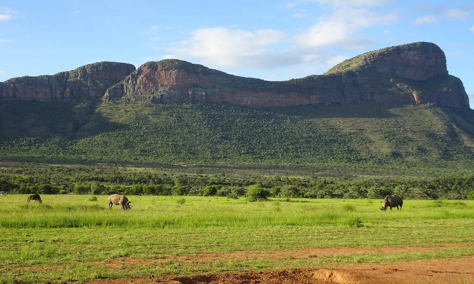
Zebra and wildebeest grazing on green grassland below the sandstone escarpment at Entabeni

Photos: Emilien Lebourgeois (Public domain), Emilien Lebourgeois (Public domain), Emilien Lebourgeois (Public domain), Emilien Lebourgeois (Public domain)

Distance
42.2 km, or 21.1 km half
Next race
19 June 2027
Climb
885 m, top at 1,702 m
Cut-off
7 hours

Why go

Since 2005 the Big Five Marathon has run through Entabeni Game Reserve in Limpopo, between Johannesburg and Kruger, on sand and gravel tracks across the savanna. There are no fences between the runners and the elephant, rhino, buffalo, lion and leopard that live here. Rangers watch the course from the air, from jeeps and on foot with rifles, and move the most dangerous animals away. It is a small field: 195 runners took part in 2024.

The route

The race starts and finishes at Lakeside Lodge, at about 1,167 m, and climbs to the Hanglip viewpoint at 1,702 m around the 10 km mark, for 885 m of climbing in all. A runner's account of the course describes a first climb of about 350 m over 9 km, a 2.5 km drop of about 400 m down the escarpment, soft sand and rocky sections, and a loop through lion country.

When to go

The race is in June, in the dry season. Expect 15 to 25 degrees C by day, near or below freezing on the early transfers, very low humidity and almost no chance of rain. The 2027 race starts at 09:00 on 19 June, later if animals are near the route.

Getting there

Fly into O. R. Tambo International in Johannesburg; Entabeni is about 3 hours by road. Albatros, the organiser, runs group transfers on arrival day, 16 June 2027, at 08:30, 10:00, 12:00, 14:00 and 16:00. A private transfer costs EUR 600 each way.

Permits and booking

Entry is not sold on its own unless you are a permanent South African resident. Everyone else books an Albatros tour package with race entry included: 7 days from 16 to 22 June for EUR 3,190, or 8 days from 15 to 22 June, with a visit to Soweto, for EUR 3,590. Spectators can book the same packages.

How hard it is

The marathon cut-offs are 4 hours 15 at 26.5 km, 5 hours 30 at 32.5 km and 7 hours at the finish; the half has 4 hours at 10.5 km, 5 hours 15 at 16.5 km and 6 hours 45 at the finish. Miss one and a ranger vehicle takes you back. The sun is fierce on the open escarpment and the dry air makes you lose fluid fast.

Where to sleep

The packages stay in lodges inside the reserve, with the finish at Lakeside Lodge. Spectators cannot reach the lower escarpment on race day.

Tips

  • Pack warm layers for the cold early transfers and SPF 30 or more for the run.
  • Practise steep descents before the race.
10 / 10

Golden Gate Highlands National Park

Near Clarens, Free State

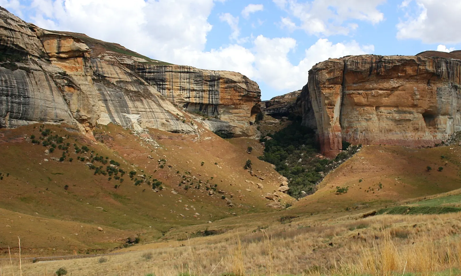
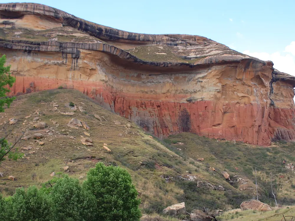
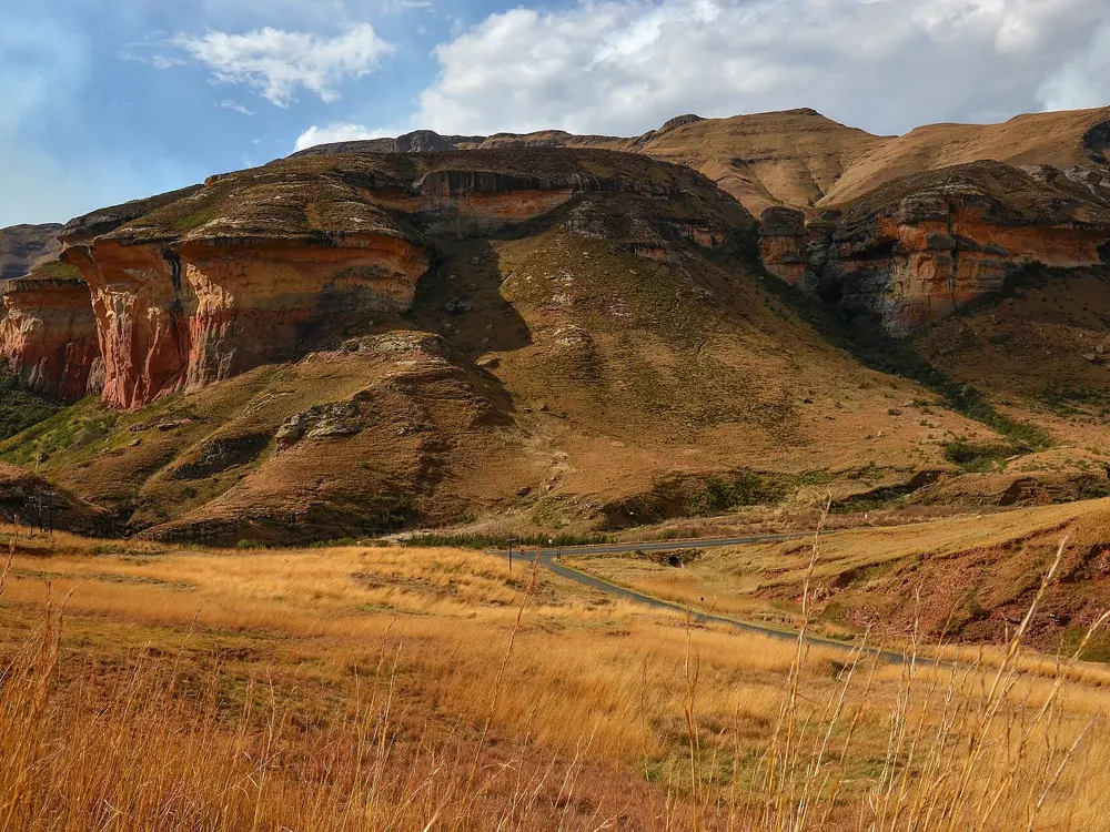
Golden sandstone cliffs on both sides of a grassy valley in Golden Gate Highlands National Park

Photos: Hendrik van den Berg (CC BY 3.0), Pavel Špindler (CC BY 3.0), Hendrik van den Berg (CC BY 3.0), Pavel Špindler (CC BY 3.0)

Distance
About 11 km, Wodehouse Peak loop
Altitude
1,800 to 2,700 m
High point
Ribbokkop, 2,829 m
Race
Dino Challenge, 40 km trail run

Why go

Golden Gate covers 340 square km of the eastern Free State near the Lesotho border, where golden and ochre sandstone cliffs stand above high grassland. The park rises from a plateau of about 1,800 m to about 2,700 m, so every run here is at altitude. Eland, zebra and grey rhebok graze the slopes, bearded and Cape vultures fly over, and the rocks below the cliffs gave up the oldest dinosaur embryos ever found, discovered in 1978.

The route

The Wodehouse Peak loop leaves Glen Reenen for an 11 km circuit with about 750 m of climbing to a summit beacon at 2,438 m. Brandwag Buttress is short, about 2.4 km and 140 m of climb, with fixed chains on the steep part, and can be reached from Glen Reenen or the Golden Gate Hotel. Mushroom Rock is about 1.5 km there and back, and Holkrans a 2.4 km circuit from the hotel. The Golden Gate Dino Challenge, on 1 and 2 May 2026, had 40 km, 25 km and 10 km trail runs beside its mountain bike races; the 40 km was for over 18s only.

When to go

June to August is dry and sunny, though winter brings thick snowfalls. October to April brings showers, hail and thunderstorms, and most of the park's 800 mm of rain. Autumn, with the Dino Challenge, is a good time.

Getting there

Clarens is about 17 km west, and Johannesburg about 320 km. Take the R712 east from Clarens and follow the signs; a tar road runs through the park to Phuthaditjhaba.

Permits and booking

A daily conservation fee applies: R73 for South African adults under the 2025/26 tariffs, which run to 31 October 2026, with new tariffs after that. The park office is on 058 255 1000.

How hard it is

The short trails are easy. Wodehouse Peak is a real mountain run: the signposts give out a few hours in, so carry an offline map, and do not follow the line on maps.me that goes straight down, which is closed. Brandwag has chains on the steep section. Summer thunderstorms make the high ground dangerous.

Where to sleep

Glen Reenen and Brandwag are the park's rest camps, with camping at Glen Reenen, and SANParks runs the Golden Gate Hotel. Clarens has more places to stay and eat.

Tips

  • Start Wodehouse Peak from Glen Reenen early, with a map downloaded.
  • Give yourself a few easy days to adjust to the altitude.

Sources

Distances, heights, seasons and permit rules were checked against these pages. Rules change, so check the park or trail authority before you go.