Rungs Labs

Rungs Pilgrimage · Running · United Kingdom

The 10 Best Places to Run in the UK

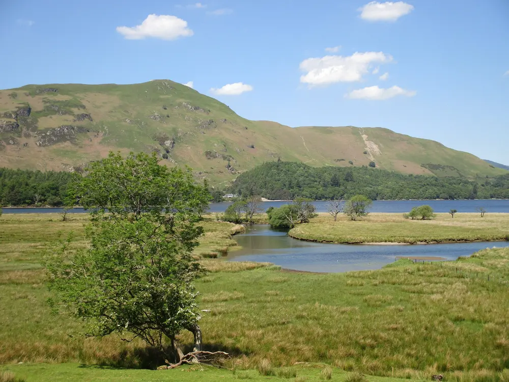
The Lake District, Cumbria, England. Photo: Jennifer Petrie (CC BY-SA 2.0)

Britain invented fell running and the free weekly parkrun, and its hill races are among the oldest in the world. These ten run from the Scottish Highlands and the Lake District to the Mourne Mountains, the fells of Wales and Yorkshire, a royal park in London and the cliffs of Sussex and Cornwall.

For each place you get the classic runs, the best season, how to get there, any permits, race entry rules or closures, how hard it is and where runners stay. Every fact comes from park authorities, race organisers or the other pages linked at the bottom.

Updated 2026-10-18

  1. 01The Lake DistrictCumbria, England
  2. 02Ben Nevis and Glen NevisFort William, Scottish Highlands
  3. 03Yr Wyddfa (Snowdon) and LlanberisEryri National Park, Wales
  4. 04The Yorkshire Three PeaksYorkshire Dales National Park, England
  5. 05Arthur's Seat and Holyrood ParkEdinburgh, Scotland
  6. 06Richmond ParkLondon, England
  7. 07The Mourne MountainsCounty Down, Northern Ireland
  8. 08The Peak DistrictDerbyshire, England
  9. 09The Cornish coast path, St Ives to Land's EndWest Cornwall, England
  10. 10The Seven Sisters and Beachy HeadSouth Downs National Park, East Sussex, England
01 / 10

The Lake District

Cumbria, England
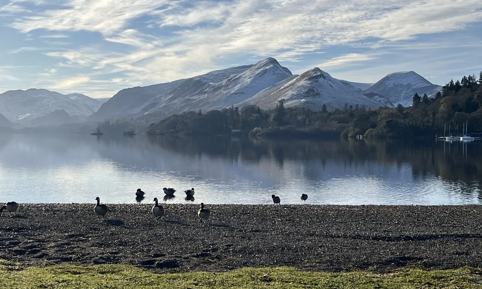
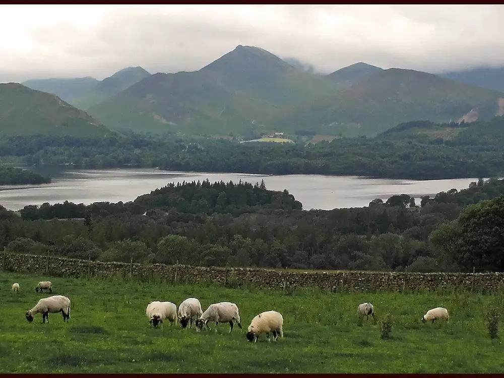
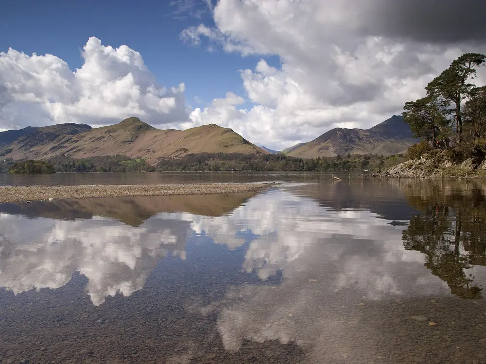
Catbells under snow reflected in Derwentwater, seen from the shore at Keswick

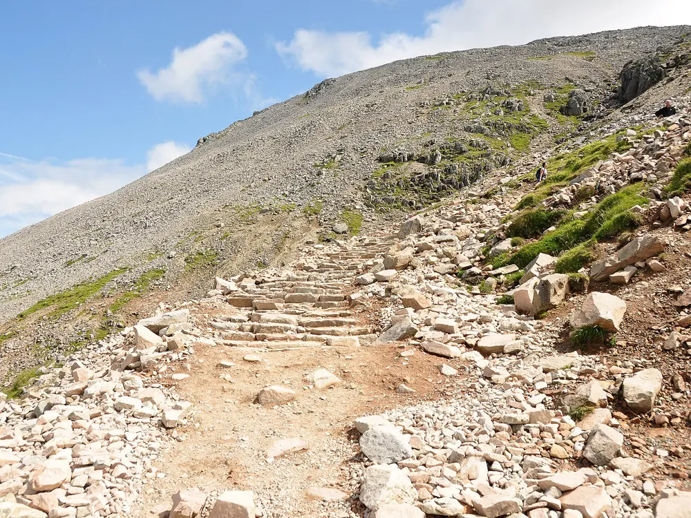
Photos: Jennifer Petrie (CC BY-SA 2.0), Antiquary (CC BY 4.0), brian gillman (CC BY 3.0), Chris Denny (CC BY-SA 2.0)

Distance
106 km, the Bob Graham Round
Climb
8,200 m on the Round
Summits
42, inside 24 hours
Start
Moot Hall, Keswick

Why go

This is the home of English fell running, and Keswick is its centre. The Bob Graham Round starts and finishes at the Moot Hall: 42 summits on foot inside 24 hours. Bob Graham first ran it in June 1932 in 23 hours 39 minutes, and more than 3,000 people have now completed it. Steep fells rise straight out of the valleys, with easier lakeshore miles between them.

The route

The Round covers about 106 km with 8,200 m of climbing in five legs, split by road crossings at Threlkeld, Dunmail Raise, Wasdale and Honister Pass. For a first run, the Catbells loop from Hawse End is about 5.7 km, zigzagging up Skelgill Bank to the 451 m top and returning along the shore of Derwentwater. The waymarked Derwentwater Walk circles the lake in 10 miles on gravel tracks, woodland paths and boardwalks. The Borrowdale Fell Race, a classic, runs 27 km with 2,000 m of climb from Rosthwaite over Scafell Pike, Great Gable and Dale Head.

When to go

Summer and early autumn are the main season; Borrowdale ran on 1 August 2026. From December to April the National Park's Fell Top Assessors climb Helvellyn daily for the Weatherline conditions report. Even in April, wind chill on the high fells can fall below freezing.

Getting there

Take the train to Penrith, then the X4 or X5 bus to Keswick for a £3 single. The 78 open top bus runs into Borrowdale, and the Keswick Launch crosses to Hawse End for Catbells.

Permits and booking

No permit or fee is needed to run the fells. FRA races ban GPS navigation, and longer ones require taped waterproofs with a hood, hat, gloves, map, compass, whistle and food. Borrowdale takes 350 runners aged 18 or over, and first timers need two long or medium category A races, or two long B races, since 1 January 2024. The Bob Graham 24 Hour Club needs every summit witnessed and has not accepted paid guiding since 2020. As of 14 October 2026 the park lists a footpath at Newlands Beck closed until 30 June 2027 and forestry closures at Whinlatter until 11 May 2027.

How hard it is

Expect rock, scree, wet grass and bog, with few signs on the tops. Cloud comes down fast, and the park asks visitors to be able to navigate in poor visibility. Catbells has short scrambly steps.

Where to sleep

Keswick has the most beds and sits at the start of the Round and the lake path. Rosthwaite puts you at the foot of the high fells.

Tips

  • Take the launch to Hawse End, as parking there fills quickly in summer.
  • The stony shore near Calfclose Bay is only passable when Derwentwater is low.
02 / 10

Ben Nevis and Glen Nevis

Fort William, Scottish Highlands

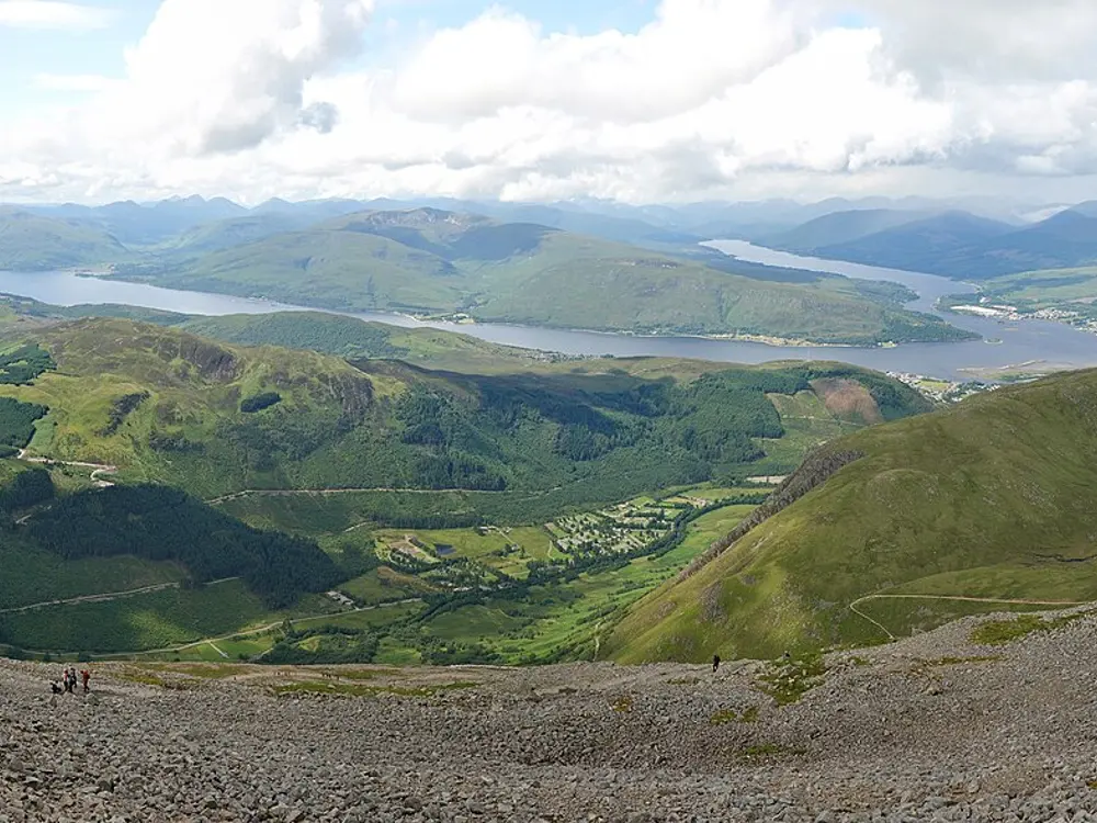
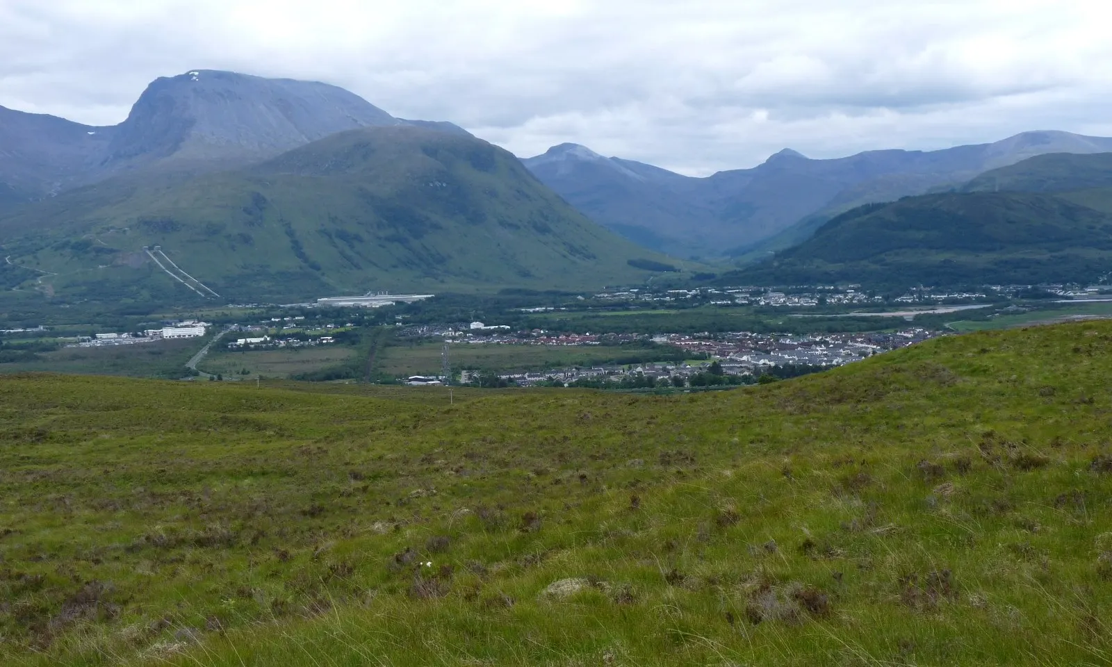
Ben Nevis rising above Glen Nevis and the houses of Fort William, seen across open moorland

Photos: Alan Reid (CC BY-SA 2.0), Nilfanion (CC BY-SA 3.0), Nilfanion (CC BY-SA 3.0), Nilfanion (CC BY-SA 3.0)

Distance
14 km, the Ben Nevis Race
Climb
1,340 m
Summit
Ben Nevis, 1,345 m
Big race
Ben Nevis Race, first Saturday in September

Why go

Britain's highest mountain has one of the oldest hill races in the world. William Swan made the first timed ascent in 1895, the first competitive race was held in 1898, and the race in its present form began in 1937. Kenny Stuart's 1:25:34 from 1984 is still the men's record, and Victoria Wilkinson set the women's record of 1:43:01 in 2018. Below the mountain, Glen Nevis has easier trails beside the river.

The route

The Mountain Track starts at Achintee, about 2 km from Fort William and roughly 20 m above sea level. It climbs steeply to a saddle at 570 m beside Lochan Meall an t-Suidhe, then zigzags up the western flank for about 700 m more; bridges from the Visitor Centre and the youth hostel also join it. The race goes from the edge of Fort William to the summit and back. For an easier run, start at the Upper Falls car park at the head of the glen and follow the path through the Nevis Gorge to An Steall, where the water falls 120 m: about 3.5 km with 200 m of climb.

When to go

Summer and early September. Records from the old summit observatory, staffed from 1883 to 1904, show fog on the top almost 80 percent of the time from November to January and 55 percent in May and June, and an average of 261 gales a year. The 2026 race was on 5 September.

Getting there

ScotRail runs direct trains from Glasgow Queen Street to Fort William, averaging 3 hours 53 minutes. In May 2026 Highland Council approved pay and display charges at the Achintee Road End and Glen Nevis Road End car parks, with overnight parking banned from 10 pm to 8 am.

Permits and booking

No permit is needed to run on the mountain. The race takes up to 600 runners, who must be club members aged 18 or over and have finished three category A hill races. They carry waterproofs, a hat, gloves and a whistle, and anyone not at the summit after two hours is turned back.

How hard it is

Hard. The upper track is loose rock and scree, and the mountain rises about 1,200 m above the River Nevis in roughly 2 km on its western and southern sides. Cloud can hide the summit plateau, so you need to be able to navigate. In Glen Nevis the gorge path is rocky and needs care when wet or icy.

Where to sleep

Fort William has the most beds. The youth hostel and campsite in Glen Nevis put you at the foot of the Mountain Track.

Tips

  • The only way across the river to An Steall is a wire bridge: one wire to walk on and two to hold.
  • Carry waterproofs, a hat and gloves even in summer, as race runners must.
03 / 10

Yr Wyddfa (Snowdon) and Llanberis

Eryri National Park, Wales

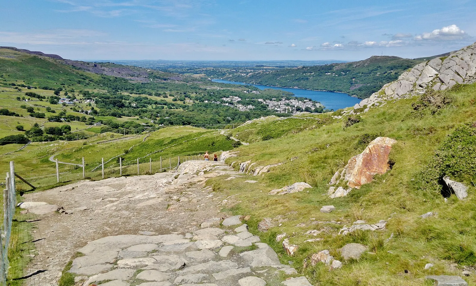
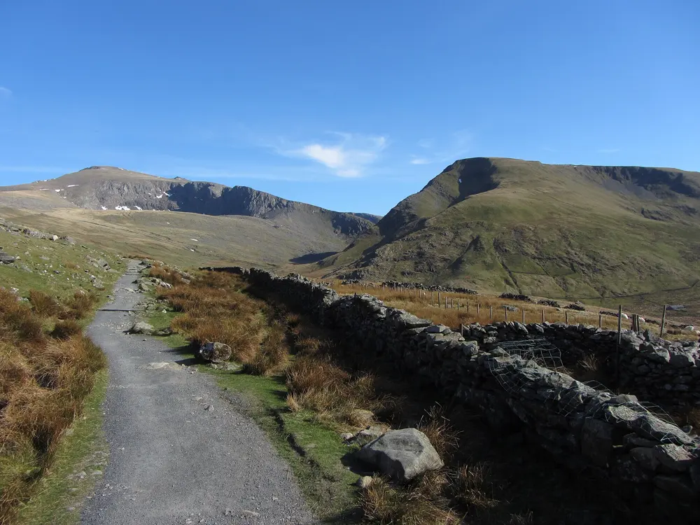
The stone Llanberis Path descending from Yr Wyddfa towards Llanberis and its lakes on a clear summer day

Photos: Chris Morgan (CC BY-SA 2.0), Jeff Buck (CC BY-SA 2.0), Jeff Buck (CC BY-SA 2.0), Gareth James (CC BY-SA 2.0)

Distance
About 10 miles (16 km), the Snowdon Race
Llanberis Path
14.5 km there and back, 975 m of ascent
Summit
Yr Wyddfa, 1,085 m
Records
1:02:29 (men, 1985), 1:12:48 (women, 1993)

Why go

Ras yr Wyddfa, the International Snowdon Race, has run from Llanberis to the top of Wales and back every July since 1976, when local man Ken Jones put the idea to the village Carnival Committee. The first race had 86 runners; more than 500 now take part, with international teams. Kenny Stuart's 1:02:29 from 1985 still stands, and in the same race Robin Bryson set the ascent record, 39 minutes 47 seconds to the summit.

The route

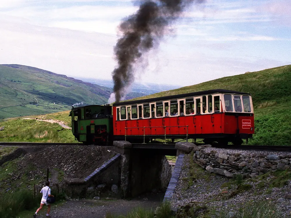
The race and most runners use the Llanberis Path, the only path that follows the Snowdon Mountain Railway to the summit. It starts at the far end of Victoria Terrace in Llanberis and is 14.5 km there and back with 975 m of ascent. The race starts and finishes near Llyn Padarn and goes five miles up the path to the 1,085 m summit, then straight back down. In bad weather the course is cut short: in 2014 it turned at Clogwyn Bridge, and in 2023 at the bottom of Allt Moses.

When to go

Summer is the season. The 49th race was on Saturday 18 July 2026, won by Massimiliano Berti of Italy in 1:04:12 and Emily McNicol of Scotland in 1:16:55. In winter the path can need specialist equipment. Check conditions on the Yr Wyddfa Live website before you go up.

Getting there

The Sherpa'r Wyddfa bus stops at Llanberis Interchange, with the best connections from Betws y Coed, Bangor and Caernarfon. A 1bws day ticket, £7.50 for an adult, covers all buses in North Wales. If you drive, use the car parks in Llanberis village and do not park on side streets or in residential areas.

Permits and booking

No permit or fee is needed to run on Yr Wyddfa. The 2026 race filled its 500 general places, with 50 more places for international runners, and there are junior races for ages 10 to 18. Keep dogs on a lead on farmland.

How hard it is

The National Park grades the path hard and strenuous: steep, rough country with navigation skills essential. The descent is fast and technical. Do not walk or run along the railway tracks, which the park calls extremely dangerous.

Where to sleep

Llanberis has guesthouses and hotels at the foot of the path, including The Royal Victoria Hotel, near the race finish.

Tips

  • Check Yr Wyddfa Live for summit conditions before you start.
  • Carry a windproof layer even on a warm day in the valley.
04 / 10

The Yorkshire Three Peaks

Yorkshire Dales National Park, England

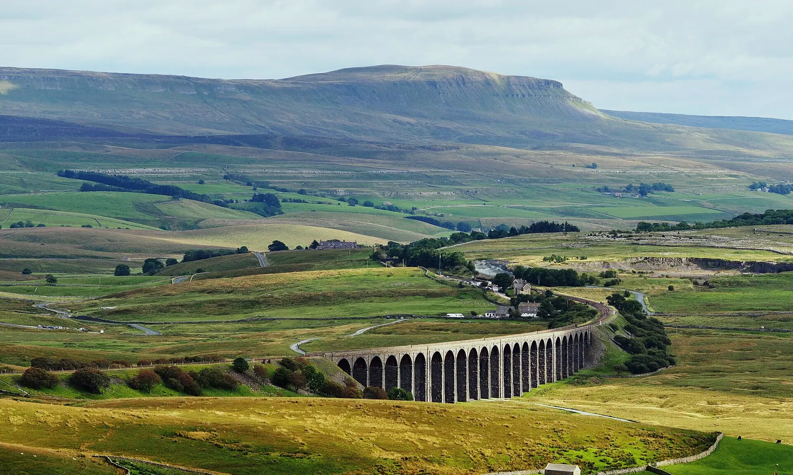
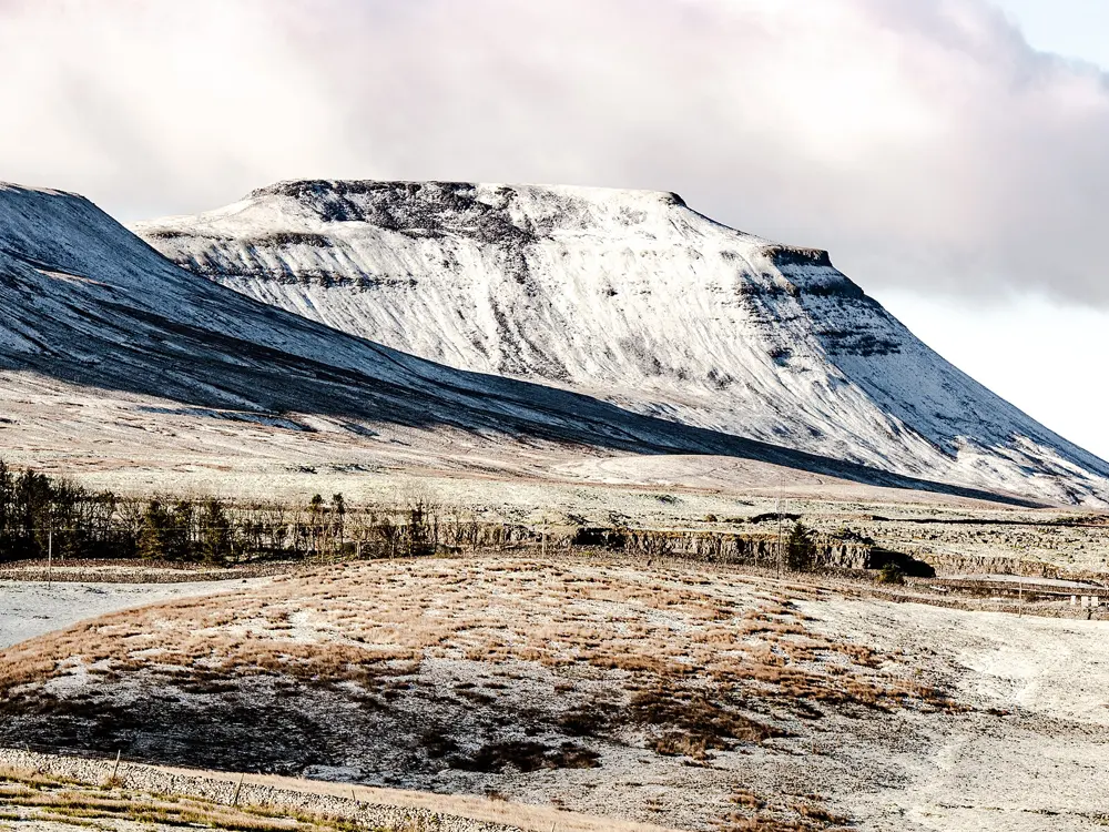
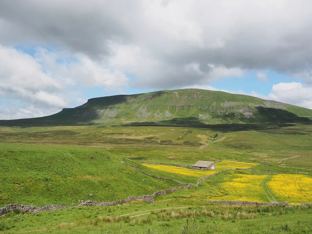
The Ribblehead Viaduct crossing green moorland, with the flat-topped bulk of Ingleborough behind

Photos: Kreuzschnabel (CC BY-SA 3.0), Kreuzschnabel (CC BY-SA 3.0), Grzegorz Gniady (CC BY-SA 4.0), Kreuzschnabel (CC BY-SA 3.0)

Distance
39 km (24 miles), the Three Peaks circuit
Climb
About 1,585 m
Summits
Pen-y-ghent 694 m, Whernside 735 m, Ingleborough 723 m
Big race
Three Peaks Race, late April

Why go

The Three Peaks Race is one of the great fell races, first held in 1954 by Preston Harriers with six runners and run for the 71st time in 2026. Tom Evans won that year in 3:02:17 and Helen Leigh in 3:49:13. The course records on the current route are Thomas Roach's 2:53:28 from 2023 and Holly Wootten's 3:34:36 from 2024; Jeff Norman ran 2:29:53 in 1974, but the route has changed several times since.

The route

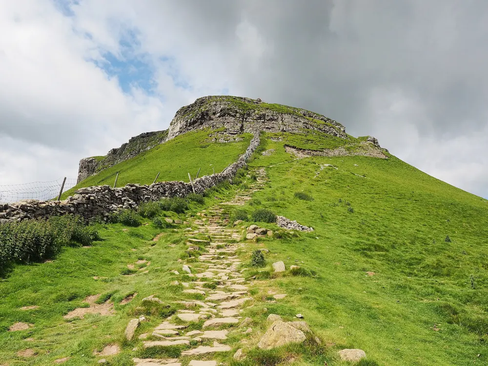
The circuit starts at Horton in Ribblesdale and takes in all three summits in one loop. Pen-y-ghent comes first, with a steep final climb, then the route descends on tracks and a road towards the Ribblehead Viaduct and climbs Whernside, the highest of the three, along a flat ridge. The last climb is Ingleborough, with its flat summit plateau, before a descent over limestone pavement back to Horton, crossing the railway at the station. The race covers 24 miles; walkers aim to finish within 12 hours.

When to go

The race is held on the last weekend in April; in 2026 it started at 10.30 am on Saturday 25 April. The 2027 race is set for 24 April, with entries opening in October 2026. Summer brings the longest days for a self supported round.

Getting there

Horton in Ribblesdale station, on the Leeds to Settle and Carlisle line, is close to the start. The National Park car park in the village fills quickly, so arrive early or come by train.

Permits and booking

No permit is needed. Race entries for 2026 opened on 26 October 2025 and closed on 6 April 2026, at £38 for Fell Runners Association members and £42 for others.

How hard it is

Long and rough. You need to be able to navigate and cope with conditions on high fells. Expect steep steps, rough tracks and limestone pavement.

Where to sleep

Horton in Ribblesdale, at the start and finish, is the obvious base. There are refreshments in Horton, at the Station Inn at Ribblehead and at the Old Hill Inn in Chapel-le-Dale.

Tips

  • Carry food: the only refreshments on the way are at Ribblehead and Chapel-le-Dale.
  • Check train times on the Settle and Carlisle line before you go, as the service is not frequent.
05 / 10

Arthur's Seat and Holyrood Park

Edinburgh, Scotland

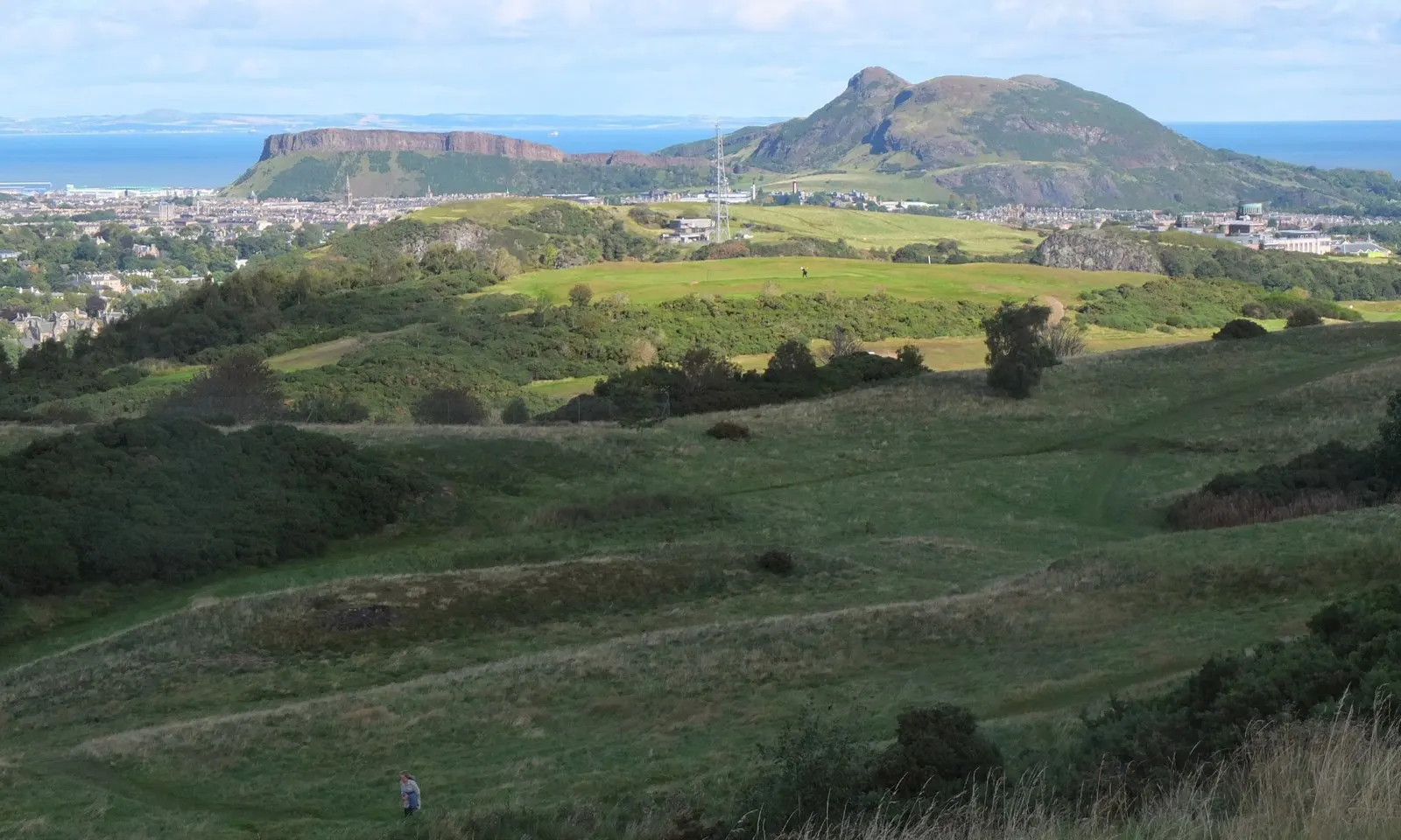
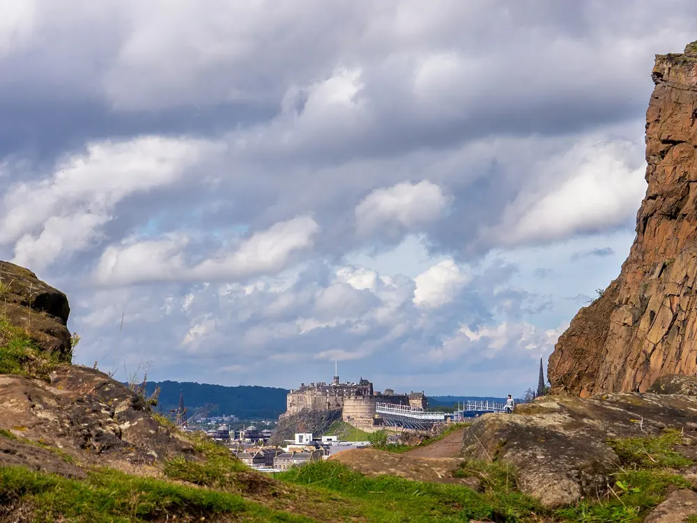
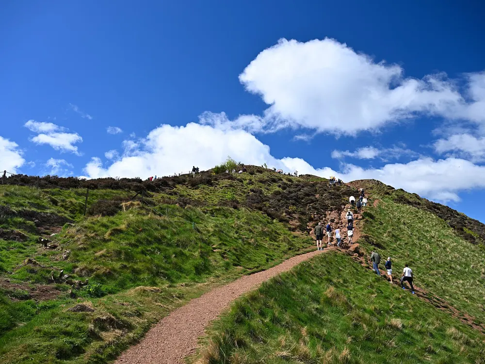
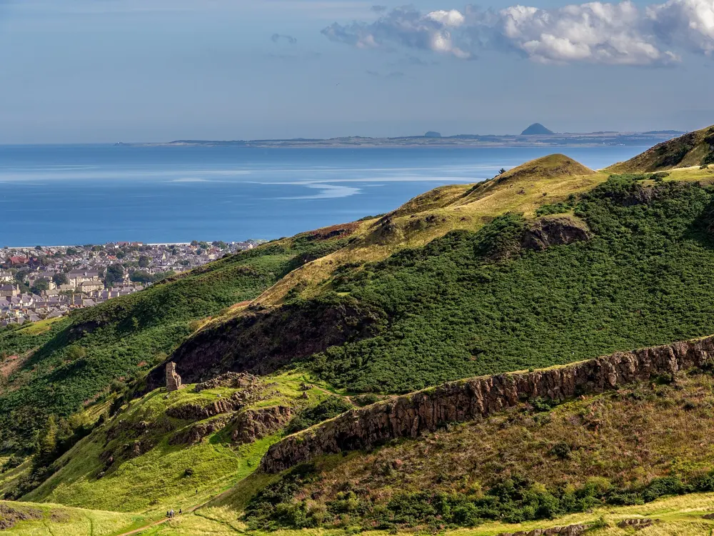
Arthur's Seat and Salisbury Crags rising above Edinburgh, seen across green hills from the Braid Hills

Photos: Jim Barton (CC BY-SA 2.0), Ermell (CC BY-SA 4.0), 4300streetcar (CC BY 4.0), Ermell (CC BY-SA 4.0)

Distance
4.3 km, Arthur's Seat loop from Holyrood Palace
Climb
About 190 m on that loop
Summit
Arthur's Seat, 251 m
Big race
Seven Hills of Edinburgh, at least 14.3 miles, July

Why go

Holyrood Park covers 260 hectares about a mile east of Edinburgh Castle, and its centre is Arthur's Seat, 251 m high: the remains of a volcano that erupted about 340 million years ago. Salisbury Crags, where the geologist James Hutton worked out his ideas about deep time in the 18th century, wall in the west side. Three lochs, St Margaret's, Dunsapie and Duddingston, sit around the hill.

The route

The classic run is a loop from Holyrood Palace to the summit and back, about 4.3 km with 190 m of climbing, mostly on natural paths with some tarmac. Edinburgh Tourism's gentlest line, its Red Route, leaves the palace car park along Queen's Drive past St Margaret's Loch and climbs the graded west slope: 3.2 km there and back with 244 m of gain. Longer runs can add the High Road, now closed to motor traffic. The city's own hill race, the Seven Hills of Edinburgh, starts on Calton Hill and visits the Castle esplanade, Corstorphine Hill, Craiglockhart Hill, Braid Hill, Blackford Hill and Arthur's Seat. There is no fixed route between checkpoints: runners pick their own line through the streets for at least 14.3 miles and 2,200 feet of ascent.

When to go

The park is open all year. Weekends are the best time for road runs, since Historic Environment Scotland closes the park roads to vehicles at weekends, with times that vary through the year. The 2026 Seven Hills was on Sunday 5 July, and both the Race and the slower Challenge were full.

Getting there

The park is about 1 mile (1.6 km) east of Edinburgh Castle, so most runners simply set off on foot from the Old Town. The park's address is Queen's Drive. The High Road is closed to motor traffic, though runners and walkers can still use it.

Permits and booking

No permit is needed to run in the park. The Radical Road below Salisbury Crags has been closed since a large rock fall in 2018, and permission to climb in the park is suspended. Seven Hills entry has two classes: the Race for runners of a good standard, and the Challenge, which starts 30 minutes earlier, for anyone slower than about 1 hour 45 minutes for a half marathon.

How hard it is

Short but steep. The upper paths are rough and rocky, and the summit gets crowded on fine days, so pick your line with care. Salisbury Crags rise 46 m, so keep back from their edge.

Where to sleep

Old Town hotels are a short run from the park. Historic Environment Scotland also lets the Holyrood Park Lodges as holiday homes inside the park.

Tips

  • Run the summit early in the morning to beat the crowds on the main path.
  • The free Geotourist app has an audio guide to the park's geology and history.
06 / 10

Richmond Park

London, England

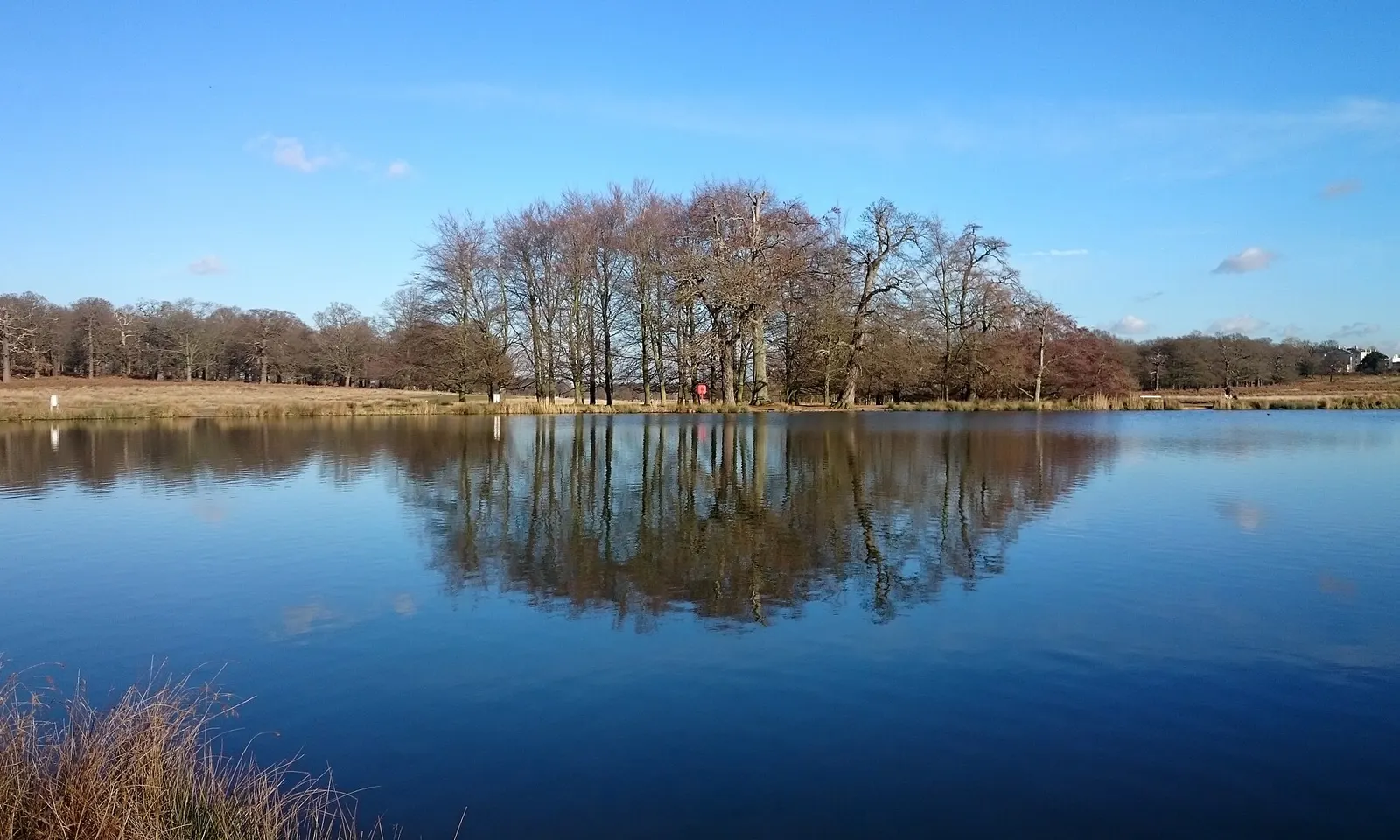
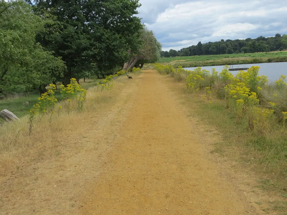
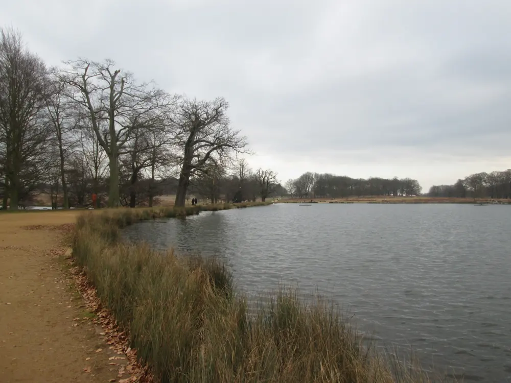
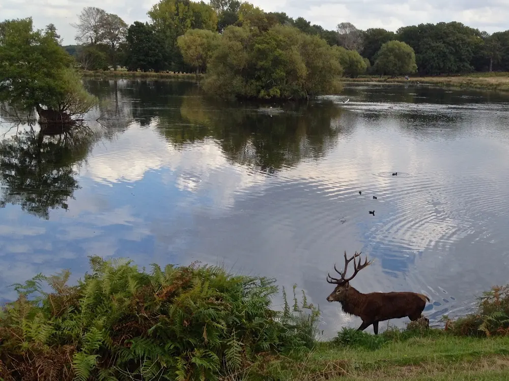
Pen Ponds in Richmond Park on a clear autumn day, with bare trees reflected in still blue water

Photos: Mark Percy (CC BY-SA 2.0), Peter Wood (CC BY-SA 2.0), John Slater (CC BY-SA 2.0), Paul Coueslant (CC BY-SA 2.0)

Distance
11.8 km (7.35 miles), the Tamsin Trail loop
Park size
1,000 hectares (2,500 acres)
Gates
Pedestrian gates open 24 hours, except during deer culls
Weekly run
Richmond Park parkrun, Saturdays at 9 am

Why go

Richmond Park is the largest of London's Royal Parks, 1,000 hectares of grassland, woods and ponds grazed by herds of deer, and a single gravel loop runs right round it. Londoners come here for long runs that feel far from the city, with a protected view from King Henry's Mound to St Paul's Cathedral. Free weekly 5K running began close by: the first parkrun was held in neighbouring Bushy Park on 2 October 2004, with 13 runners.

The route

The Tamsin Trail follows the edge of the park for 7.35 miles (11.8 km). It is a good path with some hills: a couple of short climbs near Kingston Gate and long, slow inclines near Pembroke Lodge and Sheen. You can join it from any gate or car park, and a cafe or ice cream van turns up every mile or two. For a quieter middle section, leave the trail for the paths around Pen Ponds in the centre of the park, or detour to the top of Sawyer's Hill, between the Richmond and Sheen gates, for views into central London. Richmond Park parkrun starts near Richmond Gate every Saturday at 9 am: a 5K that drops downhill on tarmac, crosses a short flat stretch of grass and climbs back up a gravel cycle track.

When to go

Any month works, but timing matters around the deer. The rut runs from September to November, when the park asks you to stay at least 50 m from deer, or 100 m from an active stag. During the six week culls, from November to early December and from February to early March, pedestrian gates close at night from 8 pm to 7.30 am, except on Friday and Saturday nights.

Getting there

Richmond station, on South Western Railway and the District line, and North Sheen station are north of the park; Norbiton is to the south. All three are 15 to 25 minutes on foot from the nearest gate. Parking is free, with seven main car parks including Pembroke Lodge, Sheen Gate and Kingston Gate. Vehicle gates open at 7.30 am, or 7 am in British Summer Time, and close at dusk.

Permits and booking

Running is free and needs no permit. Personal trainers and group fitness sessions need a fitness training licence from The Royal Parks, and events need at least six weeks' notice. parkrun is free but you must register on its website first. From 1 May to 31 July, the deer birthing season, dogs must be on a lead everywhere in the park.

How hard it is

Easy underfoot and gently rolling. The Tamsin Trail is a shared path with cyclists and walkers, and cycling is allowed on it, so expect bikes and dogs on busy weekends. The smaller paths and tracks are for pedestrians only. The parkrun course can collect mud, leaves and puddles after rain.

Where to sleep

Richmond, at the north end of the park, has hotels and guesthouses close to the station and a short walk from Richmond Gate.

Tips

  • Pembroke Lodge and Roehampton have the two main cafes, with smaller kiosks elsewhere.
  • Never run between deer or through a group of them, and keep well clear of stags in autumn.
07 / 10

The Mourne Mountains

County Down, Northern Ireland

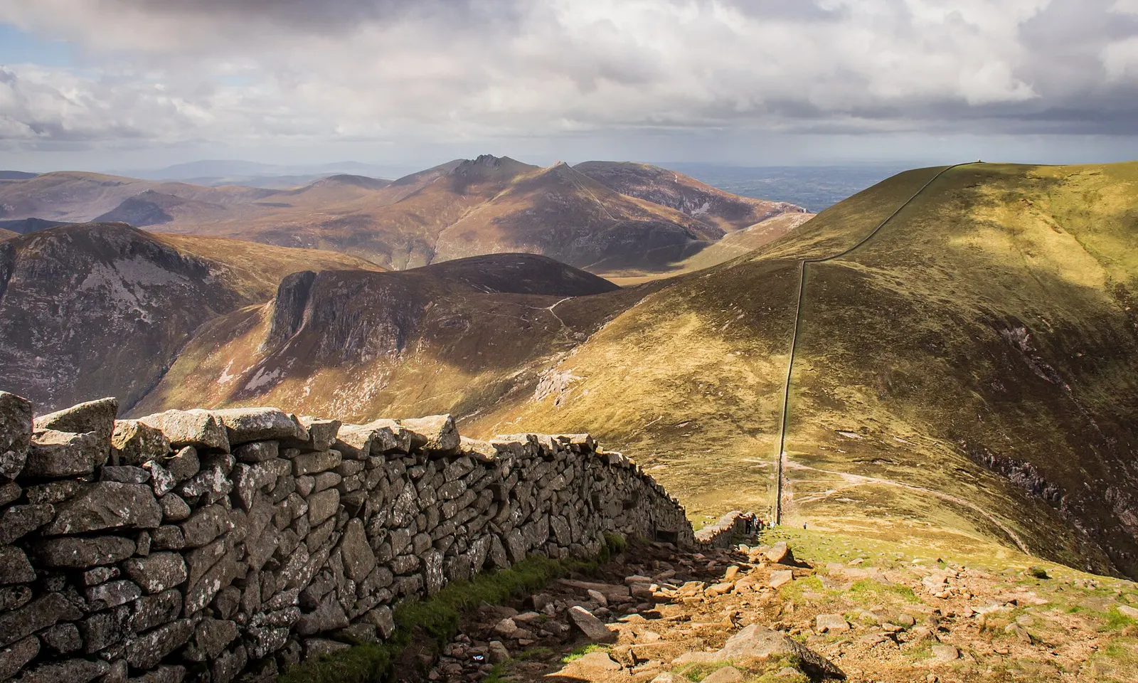
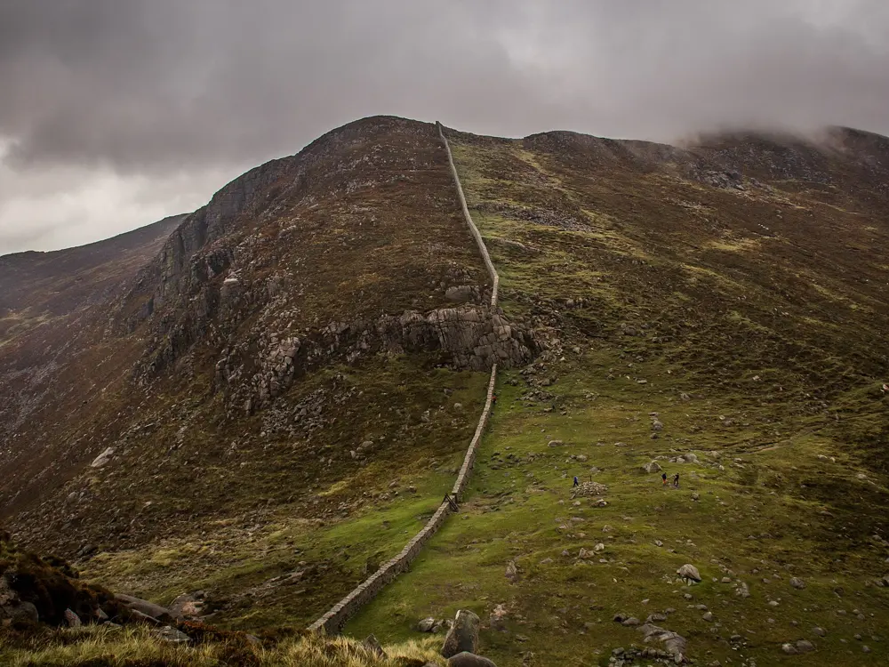
The Mourne Wall running across a high ridge in the Mourne Mountains, with peaks rolling away beyond

Photos: Dieglop (CC BY-SA 4.0), Dieglop (CC BY-SA 4.0), Colin Park (CC BY-SA 2.0), Gareth James (CC BY-SA 2.0)

Distance
35 km, the Mourne Skyline race
Climb
2,700 m on the Skyline
Summit
Slieve Donard, 850 m
Mourne Wall
About 31 km (19.5 miles)

Why go

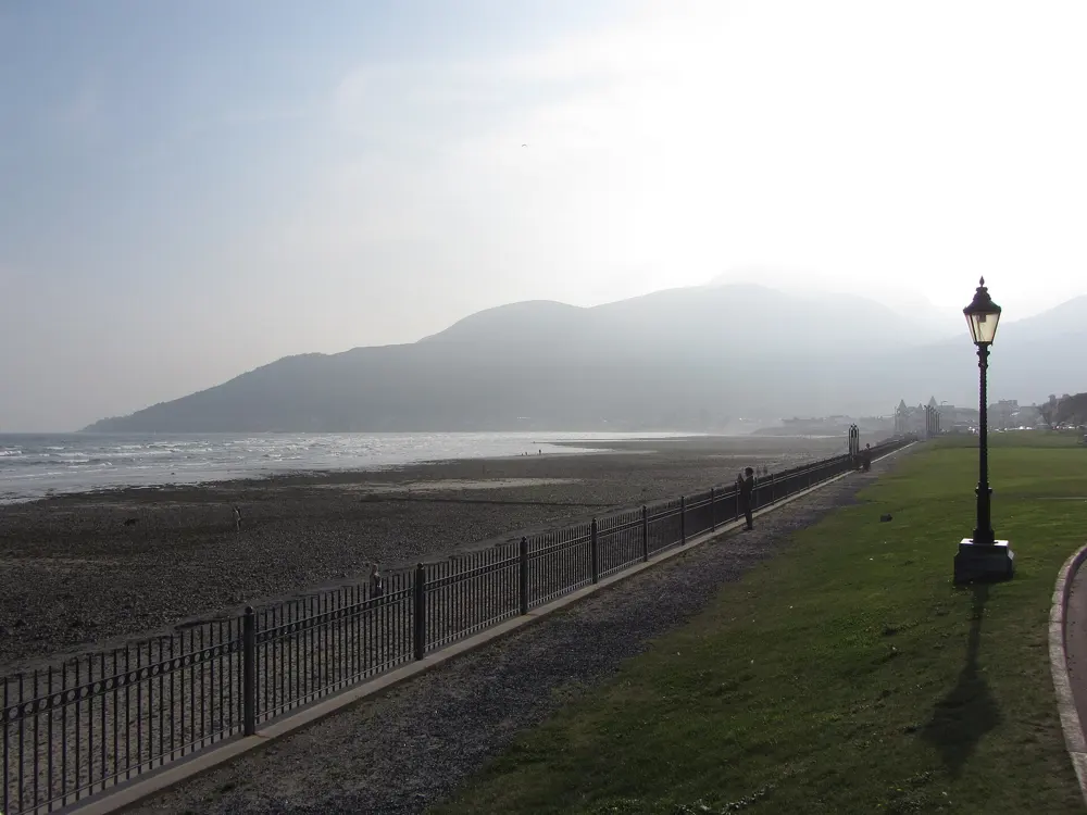
The Mournes stand right behind the seaside town of Newcastle, and a dry stone wall runs over their tops. The Mourne Wall was built between 1904 and 1922 to keep cattle and sheep out of the catchment of what became the Silent Valley Reservoir, and it crosses fifteen of the highest summits, Slieve Donard among them. Runners follow it as a ready made route. Every October SkyRun the Mournes, held since 2014, sends three races into the range on the same day.

The route

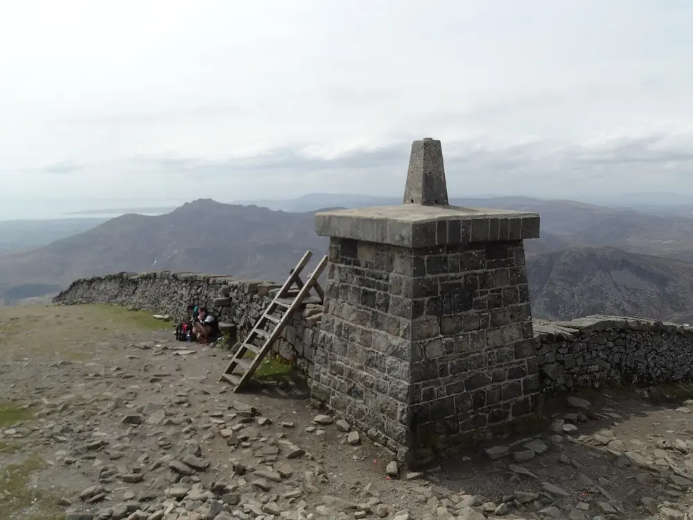
The classic run is Slieve Donard from Donard Park in Newcastle: up the Glen River through the forest, out to the Saddle between Donard and Commedagh, then left along the wall, steeply up to the summit at 850 m. It is 2.9 miles each way. The races go much further: the Mourne SkyTrail is 20 km with 1,300 m of climbing, the Mourne Skyline 35 km with 2,700 m, and the Mourne SkyUltra 50 km with 3,500 m. The courses are marked and marshalled, with long stretches along the wall.

When to go

Spring to autumn for most runners. SkyRun the Mournes was on 10 October 2026, with the Ultra starting at 7 am, the Skyline at 9 am and the SkyTrail at 11 am. The summit is very windy and can be frosty even in spring.

Getting there

Goldline buses run from Belfast Grand Central to Newcastle bus station; the 237 timetable takes about 1 hour 15 minutes. Donard car park has ample parking and is at the edge of the town.

Permits and booking

No permit is needed. Dogs must be kept on leads. The Skyline is a round of the Irish Skyrunning Championships, and entries are limited to 200 for the Ultra and 300 for each of the other races. Cut-offs are 12 hours for the Ultra, 10 for the Skyline and 6 for the SkyTrail.

How hard it is

Walk NI grades the Donard route very strenuous. The path to the wall is laid with large granite stones and can be slippery. In the forest, take care on the overhanging riverbank, and keep away from the Eagle Rocks cliffs on the north side of Donard.

Where to sleep

Newcastle, between the beach and Donard Park, has hotels and guesthouses at the start of the climb.

Tips

  • Use the wall as a handrail in cloud, but remember it crosses many summits, not just Donard.
  • Carry warm layers and gloves for the top.
08 / 10

The Peak District

Derbyshire, England

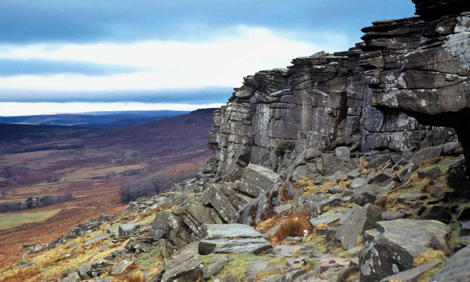
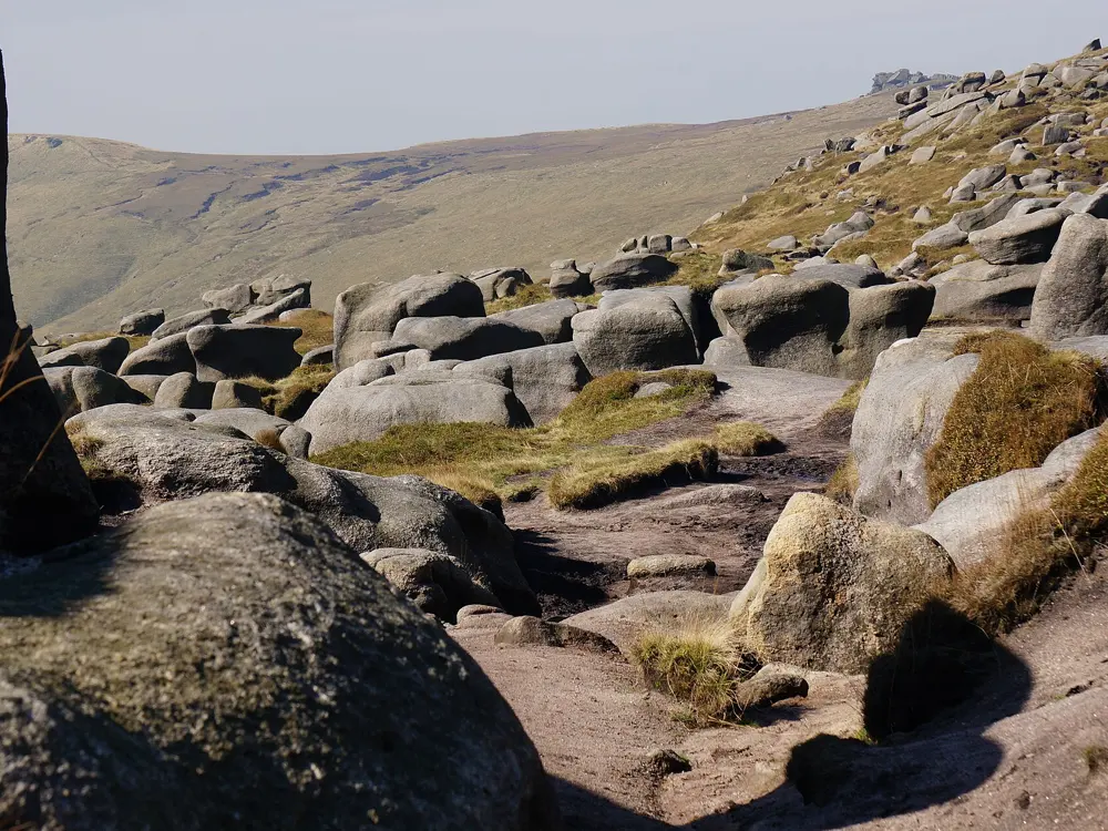
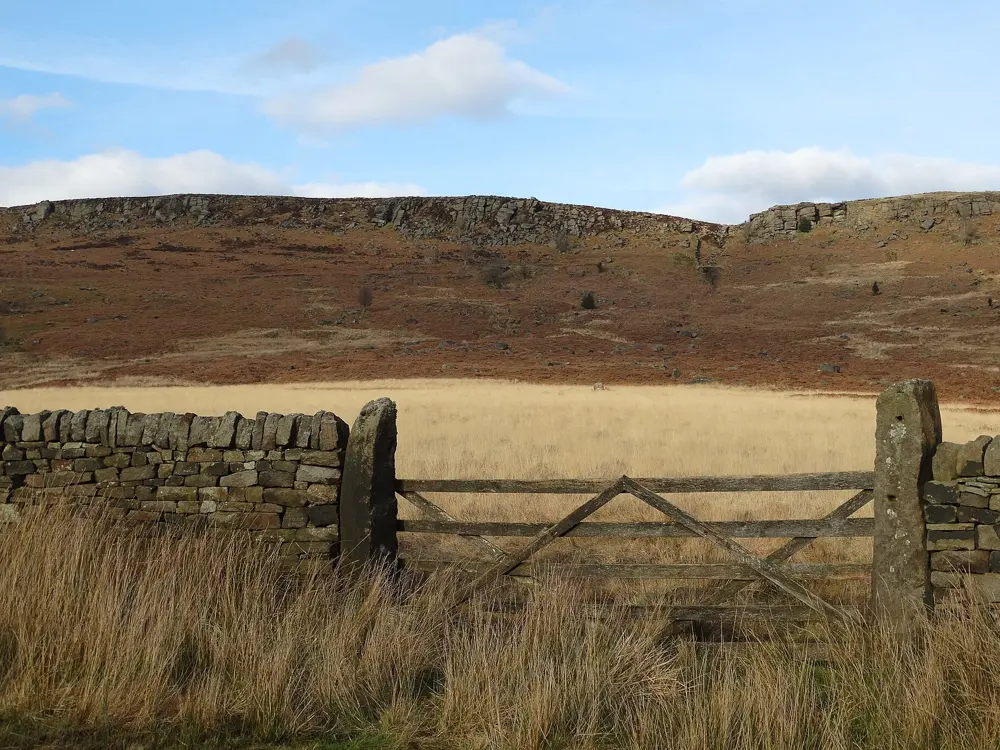
The gritstone crags of Stanage Edge above the moors and the Hope Valley under a blue sky

Photos: Vicky van Dal (CC BY-SA 4.0), Andrew Bone from Weymouth, England (CC BY 2.0), Peter Barr (CC BY-SA 2.0), Neil Theasby (CC BY-SA 2.0)

Distance
34 km (21.1 miles), the Edale Skyline
Climb
1,373 m on the Skyline
High point
Kinder Scout, 636 m
Short loop
12.6 km, Stanage Edge from Hathersage

Why go

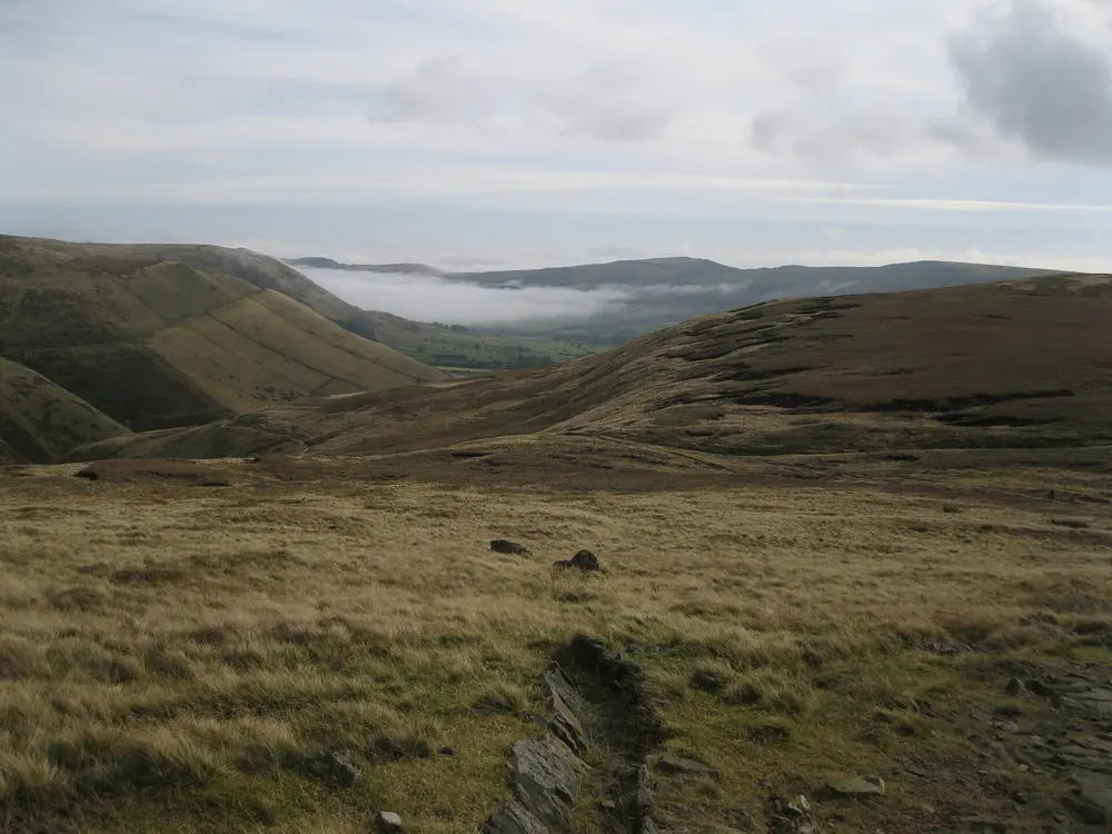
The Peak District became Britain's first national park on 17 April 1951. It lies between Manchester and Sheffield and gets more than 13 million visitors. It splits into the Dark Peak, gritstone moorland in the north, and the White Peak, limestone valleys in the south. Edale, in the Dark Peak where the Pennine Way starts, is home to the Edale Skyline, a category A long fell race that counted for the English Fell Running Championship in 2025.

The route

The Edale Skyline runs 34 km with 1,373 m of climb from Edale Village Hall, anticlockwise round the valley. It follows the edge of the Kinder plateau, passes Mam Tor, crosses Back Tor, Lose Hill and Win Hill, then makes a long last climb back towards Kinder before dropping into Edale. Its records are C. Bell's 2:34:11 from 1999 and E. Twentyman's 3:01:19 from 2025. For a shorter run, a 12.6 km loop with 350 m of climbing starts near Hathersage station and runs along Stanage Edge, a gritstone escarpment nearly four miles long above the Hope Valley.

When to go

All year, though the moors are wettest in winter. The Skyline is run in March; in 2026 it was on Sunday 22 March with a 10.30 am start. Dogs must be on a short lead on open access land from 1 March to 31 July, when ground nesting birds are breeding.

Getting there

Edale station is on the Hope Valley line, about 20 miles west of Sheffield and 22 miles east of Manchester Piccadilly, with usually one train an hour off peak. Hathersage is on the same line.

Permits and booking

No permit is needed. The Skyline is a category AL race for runners aged 18 or over, who must have finished it in the last five years, completed two AL races in the last four, or shown they can navigate exposed fell in winter. A map and compass are required and GPS navigation is not allowed. Entry was £20 for Fell Runners Association members and £22 for others.

How hard it is

The Kinder plateau is open moorland, and the Skyline asks for winter navigation skills for good reason. On Stanage the gritstone can be slippery. Komoot rates the Stanage loop as a hard run.

Where to sleep

Edale puts you at the foot of Kinder. Hathersage, on the railway, is a good base for Stanage and the eastern edges.

Tips

  • Wear trail shoes with good grip: wet gritstone is slippery.
  • Practise with map and compass on Kinder in clear weather before a winter race.
09 / 10

The Cornish coast path, St Ives to Land's End

West Cornwall, England

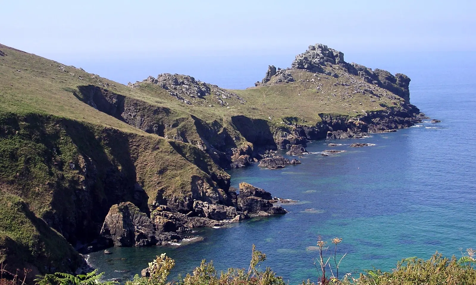
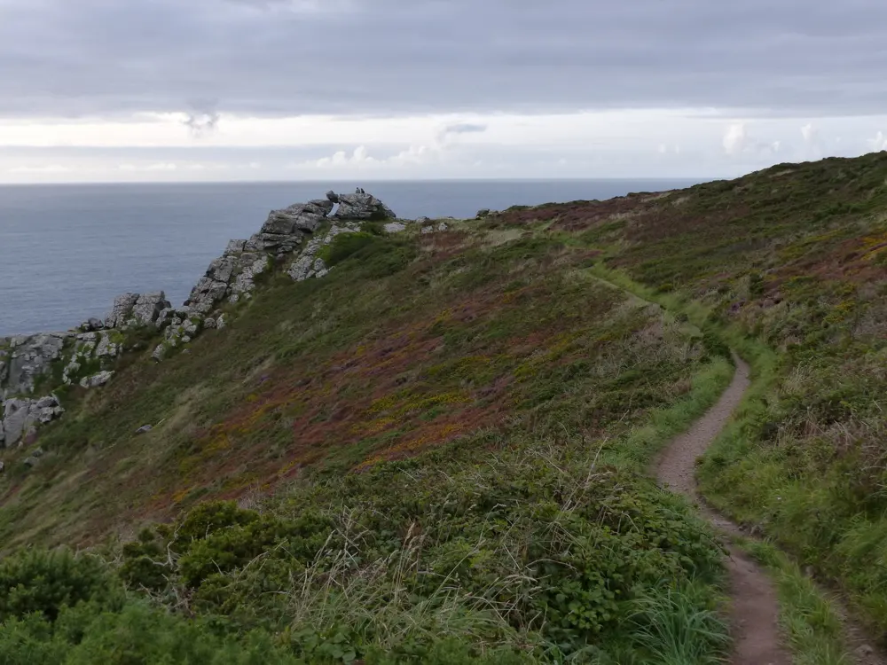
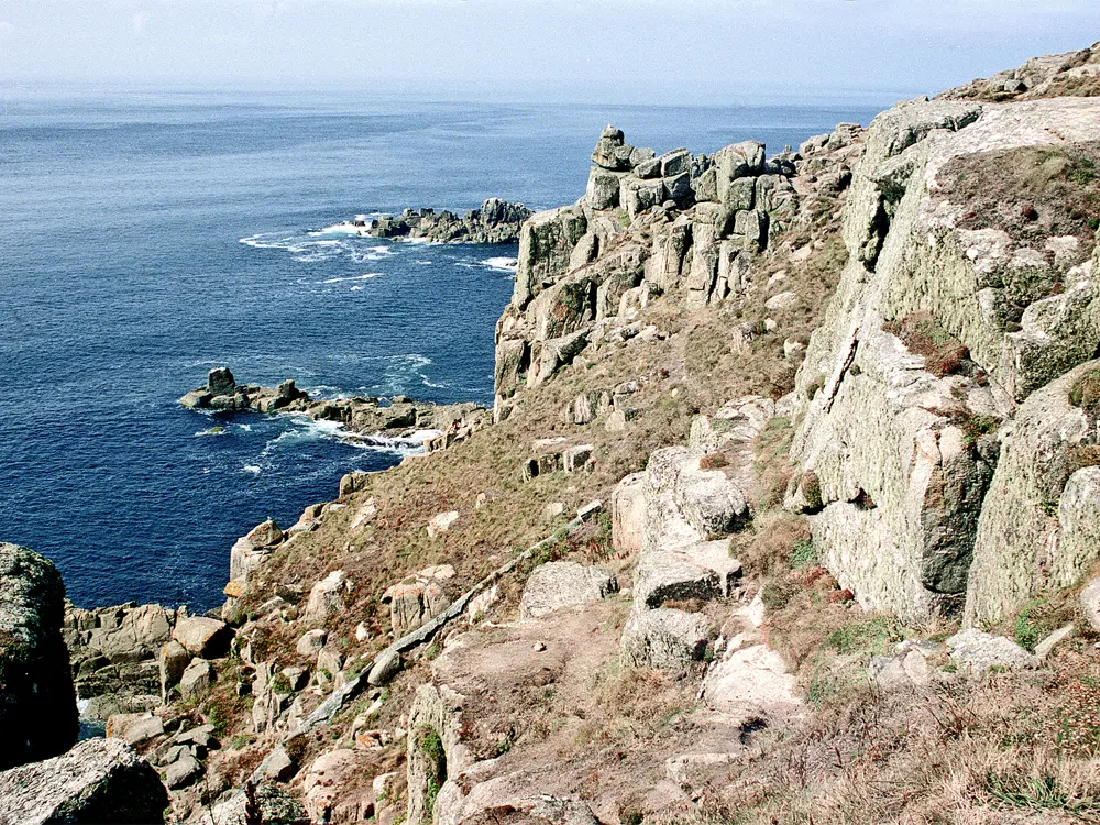
The rocky headland of Gurnard's Head reaching into a blue sea off the Cornish coast

Photos: Jim Champion (CC BY-SA 3.0), Shaun Ferguson (CC BY-SA 2.0), Rob Purvis (CC BY-SA 2.0), Roger D Kidd (CC BY-SA 2.0)

Distance
22 km (13.7 miles), St Ives to Pendeen
Grade
Challenging to severe
Big race
Classic Quarter, 44 miles, Lizard Point to Land's End
Race climb
5,531 ft (about 1,690 m)

Why go

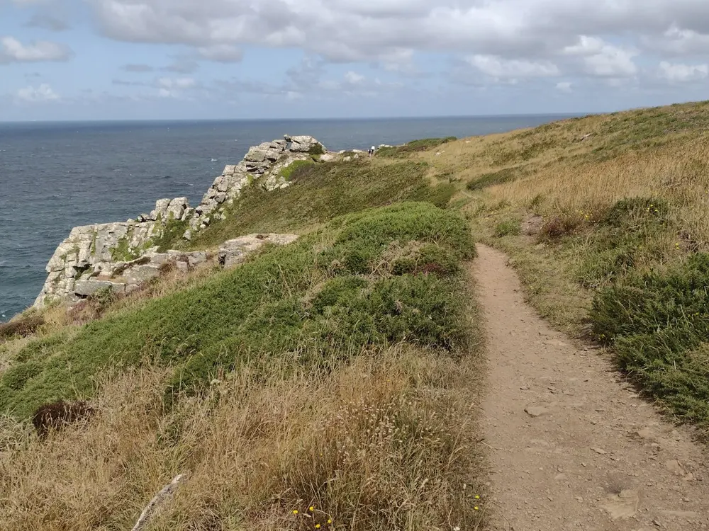
The South West Coast Path runs 630 miles round the peninsula and has been a National Trail since 1978. Its far western end, from St Ives round to Land's End, is the wildest running on it: granite headlands, Iron Age cliff forts and coves where seals haul out. The coast path association calls St Ives to Pendeen one of the toughest sections of the whole path. The Classic Quarter ultra, first run in 2007 with 21 solo starters, covers the last 44 miles of the peninsula, from Lizard Point to Land's End.

The route

From St Ives the path heads west past Mussel Point, where seals are often seen, to Zennor Head, Gurnard's Head with its cliff castle, and Bosigran Castle, an Iron Age fort now popular with climbers. It drops to Portheras Cove and reaches Pendeen Lighthouse, opened in 1900, after 13.7 miles (22 km). From there the path carries on south to Land's End, about 22.4 miles from St Ives in all. The Classic Quarter takes the south coast instead: 44 miles from Lizard Point to Land's End, with 5,531 ft of climbing.

When to go

Any season has something: lambs in spring, heather and gorse on the north coast in late summer, migrating birds in autumn and storm waves in winter. The Classic Quarter is in early June, with the 2027 race set for 5 June.

Getting there

Great Western Railway runs fast trains from London through Plymouth to Penzance, and St Ives has its own station. Buses run from both St Ives and Penzance to Pendeen, so you can run one way and ride back.

Permits and booking

No permit is needed. The Classic Quarter can be run solo or in relay teams of two or four, with about 100 places in each. Do not swim or walk barefoot at Portheras Cove, where metal fragments from a 1963 shipwreck may remain.

How hard it is

Rocky and sometimes boggy ground with a roller coaster of steep climbs and descents means progress is slower than you expect. The path is narrow and rough in places.

Where to sleep

St Ives has the most beds. On the path, The Gurnard's Head inn is on the route, and the cottages at Pendeen Lighthouse can be rented.

Tips

  • Carry food and water: every shop or cafe is an inland detour.
  • Check the bus times back to St Ives or Penzance before you set off.
10 / 10

The Seven Sisters and Beachy Head

South Downs National Park, East Sussex, England

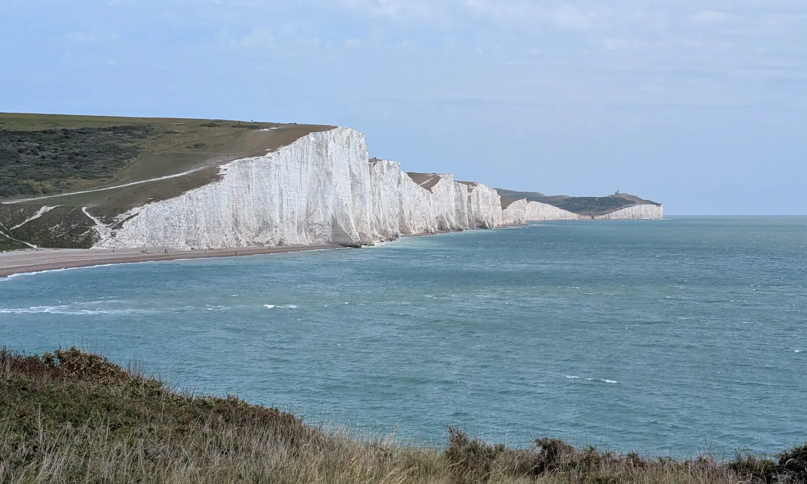
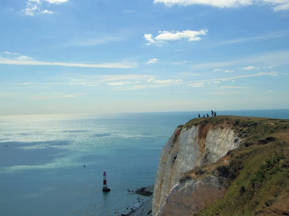
The white chalk cliffs of the Seven Sisters beyond Cuckmere Haven and a blue sea

Photos: Mat Fascione (CC BY-SA 2.0), Peter S (CC BY-SA 2.0), Paul Gillett (CC BY-SA 2.0), James Emmans (CC BY-SA 2.0)

Distance
10.3 km (6.4 miles), Alfriston and River Cuckmere loop
Big race
Beachy Head Marathon, late October
Marathon climb
Up to 1,381 m, with more than 300 steps
Trail
South Downs Way, 160 km to Winchester

Why go

The South Downs end at the sea in a line of white chalk cliffs, the Seven Sisters, with Beachy Head and its lighthouse at the eastern end. The South Downs Way runs 100 miles along the chalk from Winchester to Eastbourne, and the Beachy Head Marathon, formerly the Seven Sisters Marathon, is one of the largest off-road marathons in the UK. Its 46th edition is in October 2026. The cliffs are still moving: they erode at up to a metre a year, and the Belle Tout lighthouse, built in 1832, was moved 17 m back from the edge in 1999.

The route

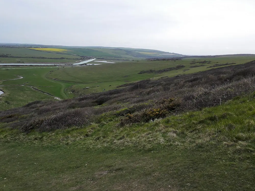
The classic coastal run starts at the west end of King Edward's Parade in Eastbourne and follows the South Downs Way past Beachy Head Lighthouse and Belle Tout to Birling Gap at about 3.5 miles, then over the Seven Sisters to the Seven Sisters Country Park visitor centre. The marathon starts on Dukes Drive and goes inland through Jevington, Alfriston and Litlington, follows the Cuckmere River back to the sea and finishes over the Seven Sisters and Belle Tout. The National Park's own Alfriston loop is 6.4 miles on quiet roads, forest tracks and footpaths with several short steep climbs.

When to go

All year: the chalk ridge drains and dries quickly. Weekends and school holidays from May to September are busiest. The 2026 marathon, ultra and 10K are on Saturday 24 October, with the half marathon on Sunday 25 October.

Getting there

Eastbourne station is about 2 miles from the start of the coast run, and there is free parking at the west end of King Edward's Parade. Regular Brighton to Eastbourne buses stop at Exceat, by the country park, so you can run one way and ride back. Seaford is the other nearest station.

Permits and booking

No permit is needed. Marathon entry is through BeachyHeadMarathon.com. The course has 14 gates, so leave every gate as you find it.

How hard it is

Moderate to hard, from the repeated short steep climbs over each cliff. The cliff tops are mostly unfenced, with overhangs you cannot see from above, and the coast can be very windy. The 2025 marathon was won in 3:02:52, a measure of how much slower than a road course it runs.

Where to sleep

Eastbourne has the most beds and the marathon start. Alfriston, a historic village in the Cuckmere valley, is on the marathon route.

Tips

  • Keep well back from the cliff edge, and if someone falls, call 999 and ask for the Coastguard.
  • Run the cliffs one way and take the bus back from Exceat.

Sources

Distances, heights, seasons and permit rules were checked against these pages. Rules change, so check the park or trail authority before you go.