Rungs Labs

Rungs Pilgrimage · Hikes · South Africa

The 10 Best Hikes in South Africa

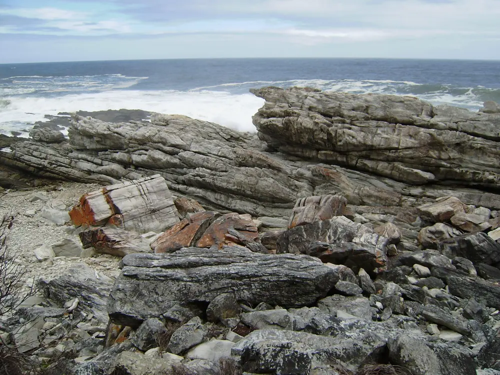
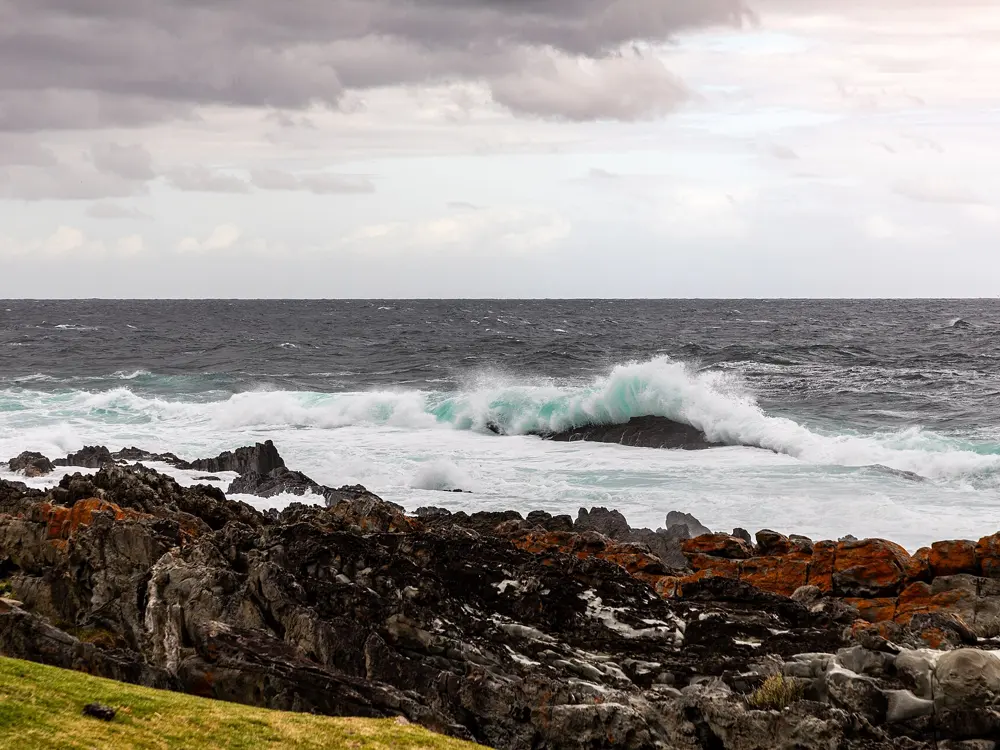
Otter Trail, Tsitsikamma section, Garden Route National Park. Photo: Hendrik van den Berg (CC BY 3.0)

These ten walks cover most of the country. In the Western Cape they run along the Tsitsikamma and De Hoop coasts, up the front of Table Mountain and through the sandstone of the Cederberg. In the east they climb the basalt walls of the Drakensberg at the Amphitheatre and Cathedral Peak, cross the forests of the Amathole Mountains and follow the Wild Coast to Hole in the Wall. Inland they take in the sandstone cliffs of Golden Gate and the Olifants River in Kruger, where you walk with armed rangers among big game.

Many of them have to be booked well ahead. The Otter and Whale trails take small groups and their dates go quickly, the multi-day trails in national parks and nature reserves need a booking or permit, and some routes have been closed by fire, flood or high rivers in 2026. For each hike you get the distance, the route, the best season, how to get there, the permits, and where to sleep. Every fact comes from the park agencies, tourism bodies and route guides linked at the bottom of the page.

Updated 2026-10-18

  1. 01Otter TrailTsitsikamma section, Garden Route National Park
  2. 02The Amphitheatre and Tugela FallsSentinel car park, Maloti-Drakensberg, Free State and KwaZulu-Natal
  3. 03Table Mountain by Platteklip GorgeTable Mountain National Park, Cape Town, Western Cape
  4. 04Whale TrailDe Hoop Nature Reserve, Overberg, Western Cape
  5. 05Cathedral PeakDidima, uKhahlamba-Drakensberg, KwaZulu-Natal
  6. 06Wolfberg Cracks and Wolfberg ArchCederberg Wilderness Area, Western Cape
  7. 07Amatola Hiking TrailAmathole Mountains, near Hogsback, Eastern Cape
  8. 08Coffee Bay to Hole in the WallWild Coast, Eastern Cape
  9. 09Rhebok Hiking TrailGolden Gate Highlands National Park, Free State
  10. 10Olifants River Backpack TrailKruger National Park, on the Olifants River between Limpopo and Mpumalanga
01 / 10

Otter Trail

Tsitsikamma section, Garden Route National Park
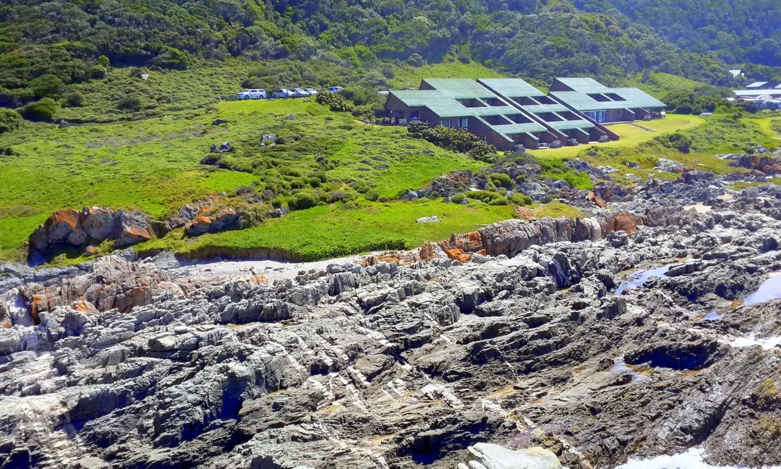
Storms River Mouth rest camp above the rocky shore of the Tsitsikamma coast

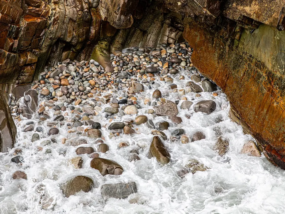
Photos: Hendrik van den Berg (CC BY 3.0), Terbach (CC BY-SA 3.0), Dietmar Rabich (CC BY-SA 4.0), Dietmar Rabich (CC BY-SA 4.0)

Distance
About 42 km one way, Storms River Mouth to Nature's Valley
Time
5 days, 4 nights
Overnight stops
Four, each with two six-bed huts
Ages
12 to 65, with a doctor's certificate for every hiker

Why go

Dating from 1968, the Otter Trail is South Africa's oldest hiking trail. It follows the Tsitsikamma coastline from Storms River Mouth to the village of Nature's Valley. The path keeps to the edge of indigenous forest above the sea, dropping to river mouths and climbing back onto the cliffs. With only a dozen beds at each overnight stop, you share it with very few people.

The route

SANParks gives the first four stages as 4.8, 7.9, 7.7 and 13.8 km. The first night is at Ngubu, then Scott, Oakhurst and André. Day four is the long one: the Bloukrans River lies about 10 km, roughly four and a half hours, from Oakhurst, and has to be crossed near low tide. Walked in reverse, from Nature's Valley, SANParks calls it the Retto. Six escape routes lead inland.

When to go

Rain falls in every month in Tsitsikamma, and the park's management plan names September and October as the wettest months. Tides matter more than season: SANParks makes each hiker responsible for getting tide tables before setting out, and advises reaching the Bloukrans well before low tide. In May 2026 the park closed the trail ahead of an orange level 8 rain warning and planned to reopen it on 15 May after finding no major damage.

Getting there

The trail starts at Storms River Mouth Rest Camp, off the N2, which SANParks puts about 68 km from Plettenberg Bay, 195 km from Gqeberha and 615 km from Cape Town. It ends at De Vasselot Rest Camp in Nature's Valley, where checking out is compulsory and certificates are handed out. Private shuttles link the two ends.

Permits and booking

Book through SANParks reservations well ahead: online booking for stays up to 30 November 2027 opens on 2 December 2026. Hikers must be between 12 and 65, and every hiker must bring the SANParks trail medical certificate, completed, signed and stamped by a registered doctor and valid for 30 days, to Storms River Mouth reception. Conservation fees are paid on arrival; WILD card holders do not pay them.

How hard it is

SANParks describes the ground as rugged, with constant climbing and descending, and hikers carry everything themselves. The Bloukrans crossing can mean swimming with your pack even at low tide, and in a flood or heavy sea the advice is to take the escape route. Mobile signal is patchy.

Where to sleep

Each of the four overnight stops has two huts with six beds and mattresses, plus a single toilet. You bring your own sleeping bag and pillow.

Tips

  • Print a tide table for your dates and plan day four around low tide at the Bloukrans mouth.
  • Pack a dry bag or survival bag large enough to float your rucksack across the river.
02 / 10

The Amphitheatre and Tugela Falls

Sentinel car park, Maloti-Drakensberg, Free State and KwaZulu-Natal

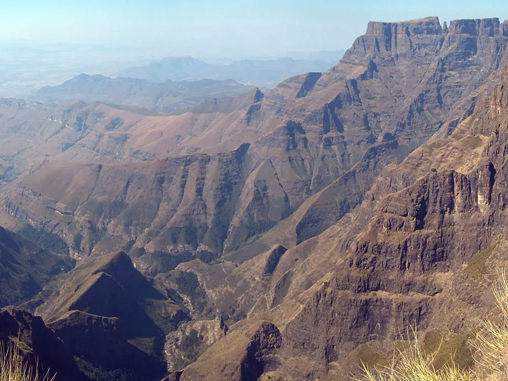
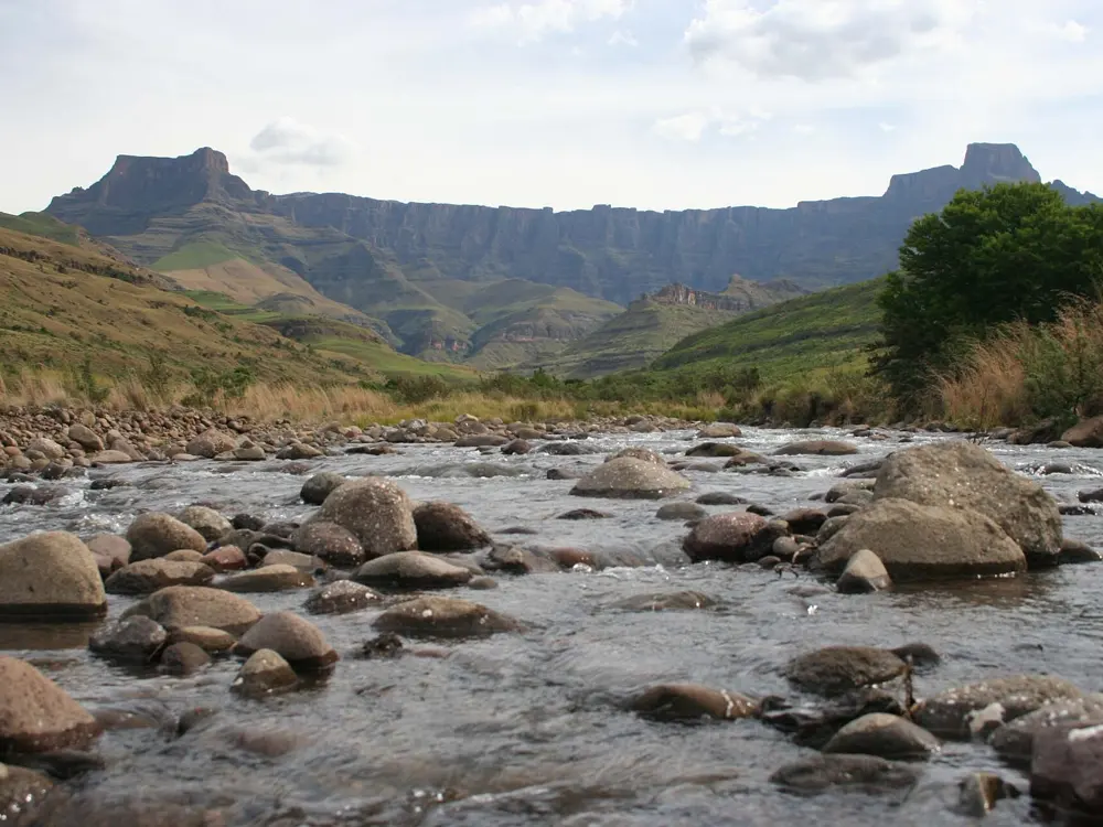
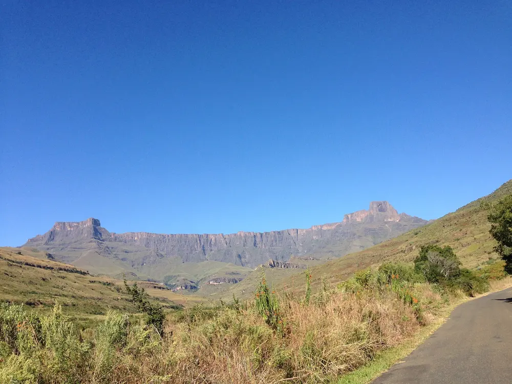
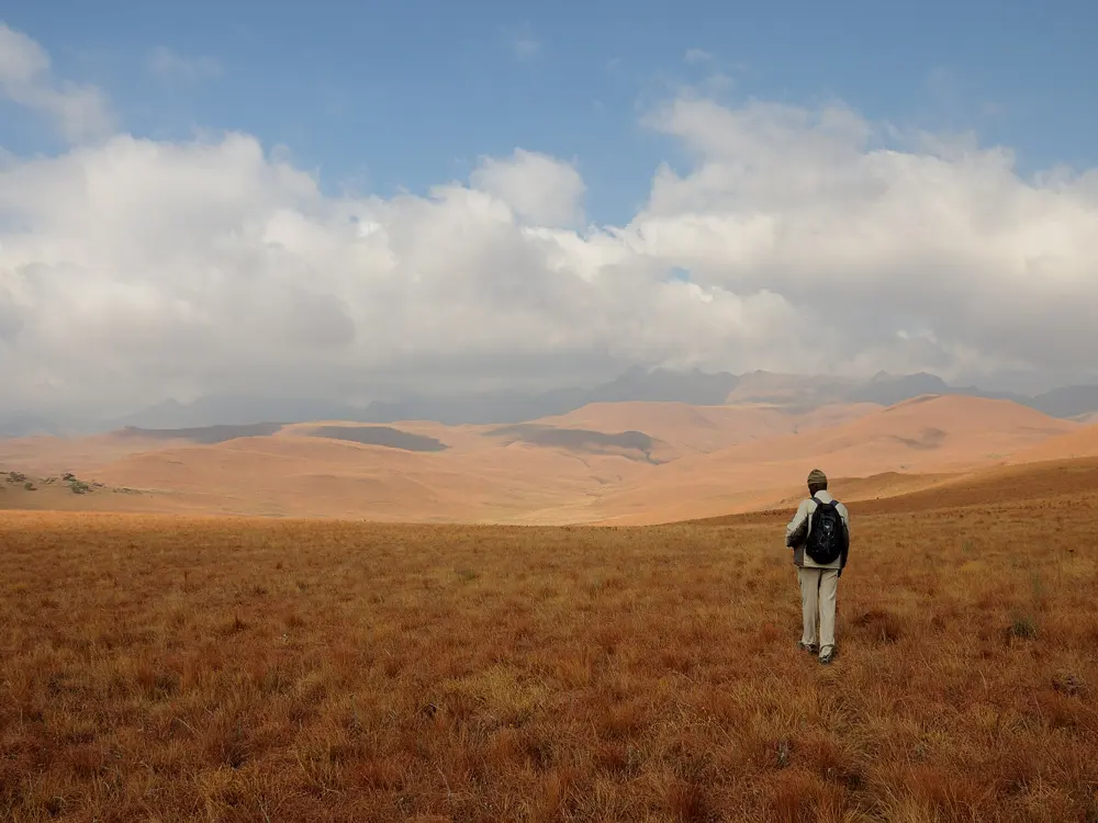
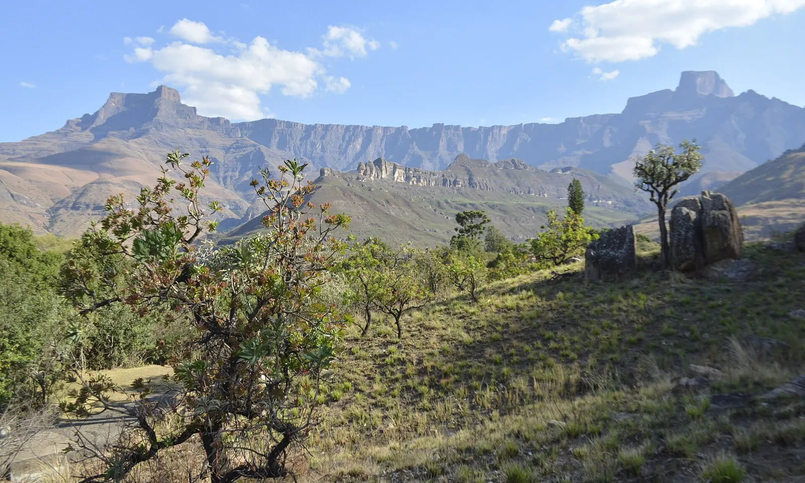
The long basalt wall of the Amphitheatre above the valleys of Royal Natal National Park

Photos: Klg113 (CC BY-SA 4.0), PhilippN (CC BY-SA 3.0), User:Bothar (Public domain), theodevriesESC (CC BY-SA 3.0)

Distance
12.4 km return from the Sentinel car park
Time
About 6 hours
Top of the ladders
About 2,987 m
Tugela Falls
948 m in five drops

Why go

The Amphitheatre is a wall of rock about 5 km long at the northern end of the Drakensberg, and the Tugela River leaves its rim in five drops totalling 948 m, which South African Tourism ranks just behind Angel Falls. The cliffs fall into Royal Natal National Park, run by Ezemvelo KZN Wildlife, but the walk to the top starts on the Free State side, on the Sentinel Peak trail run by Witsieshoek Mountain Lodge.

The route

The trail starts at about 2,500 m. Zigzags climb below the Sentinel, and a contour path rounds the base of the Sentinel to the chain ladders, two flights of parallel steel ladders bolted into the near vertical rock, which bring you onto the plateau at about 2,987 m. Beacon Buttress Gully is the way round them. From the top of the ladders it is about 25 minutes east across the plateau to the edge where the falls begin.

When to go

Witsieshoek warns that summer thunderstorms can drop temperatures below freezing within minutes, and that winter mist can cut visibility to a few metres. Start early and be off the top by 3 pm. The stream that feeds the falls is often dry.

Getting there

Witsieshoek is about four hours from Johannesburg or Durban, by the N3 to Harrismith, the R74 towards Phuthaditjhaba and the R57 through town. Ignore any GPS route through Royal Natal: the lodge says it does not exist. The road is tarred to the lodge, and about 7 km of gravel climbs on to the car park; the final kilometres need a 4x4. The lodge shuttle costs R160 per person each way.

Permits and booking

Drivers pay a conservation fee at the toll gate, R90 per adult and R50 per child under 12. At the car park you pay the Sentinel Peak trail fee, R145 per person for a day hike or for each night on the mountain, and sign the rescue register. These are rates for March 2026 to February 2027.

How hard it is

The climb is close to 500 m on a good path, but the ladders are exposed and the plateau has no shelter. South African Tourism says it is not for the unfit or small children. Hikers have been robbed in the Amphitheatre area, and in 2016 Royal Natal closed the escarpment above the ladders for a time after an attack.

Where to sleep

Witsieshoek Mountain Lodge is at 2,200 m. Namahadi Hut, on the escarpment at 3,069 m, costs R625 per person per night. Camping on the plateau is allowed, with no facilities. In Royal Natal, Ezemvelo runs Thendele camp and Mahai campsite.

Tips

  • Check mountain conditions with the lodge on WhatsApp, 082 609 8988, before you set out.
  • Carry at least 2 litres of water each: above the car park the only water is the Tugela stream.
  • If you stay overnight on top, go as a group or with a guide from Thaba Adventures at the lodge.
03 / 10

Table Mountain by Platteklip Gorge

Table Mountain National Park, Cape Town, Western Cape

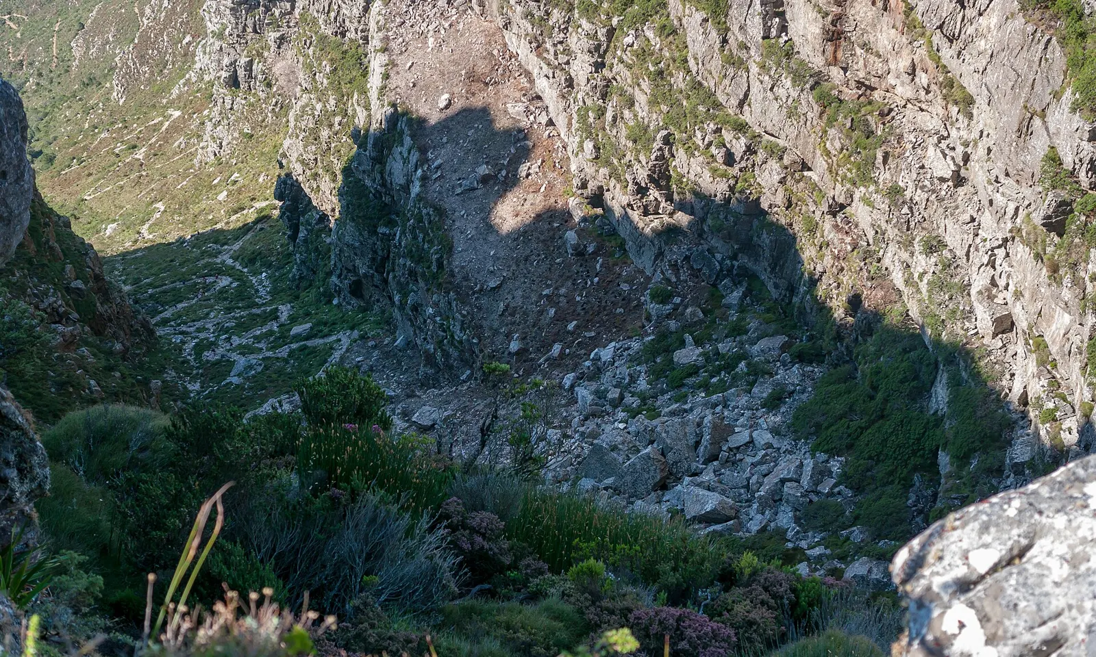
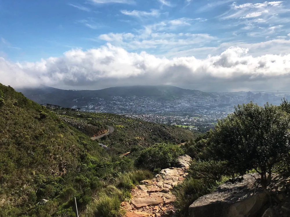
The steep, rocky ravine of Platteklip Gorge on the face of Table Mountain

Photos: Matti Blume (CC BY-SA 4.0), Lovemedead (CC BY-SA 4.0), Lovemedead (CC BY-SA 4.0), Zenith4237 (CC BY-SA 4.0)

Distance
About 3 km up, Tafelberg Road to the Upper Cableway Station
Time
1 to 3 hours up
Rating
Moderate to tough, by SANParks
Way down
Cableway, R300 one way online for adults

Why go

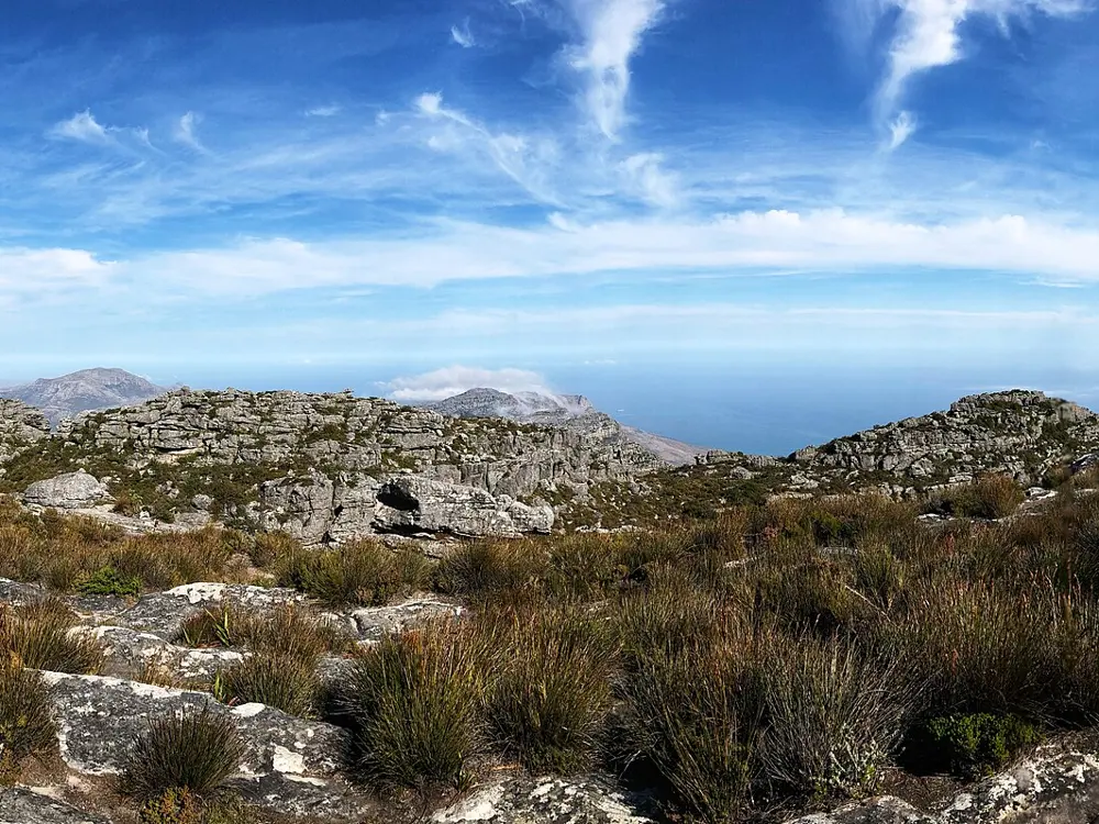
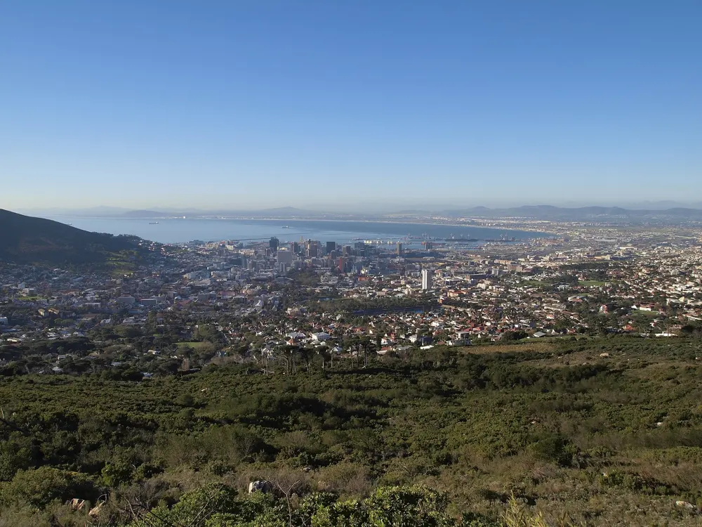
Platteklip Gorge is the deep cleft that splits the front face of Table Mountain above Cape Town, and SANParks calls it the most direct and most popular route to the top. It is also the oldest: the Portuguese navigator António de Saldanha climbed this way in 1503 on the first recorded ascent of the mountain. The name means flat stone gorge, and the mountain, part of a World Heritage Site, was named one of the New7Wonders of Nature in 2011.

The route

The path leaves Tafelberg Road and climbs straight up the main gorge to the plateau near the Upper Cableway Station. It is built with stone steps and gabions, and SANParks says it is never difficult, only steep, so go slowly and look back at the city and Table Bay as you rest. SANParks repaired the upper section in August 2026 without closing the trail. From the top, painted yellow footprints lead across the Western Table to Maclear's Beacon, the highest point, 45 minutes to an hour each way; avoid it in low cloud or mist.

When to go

SANParks warns that the top can be much colder than Tafelberg Road, with an icy wind even in January and February. One hiking guide names October to April as the dry season and suggests early starts in summer. The cableway closes each winter for maintenance: in 2026 it shut from 27 July to 9 August, and hikers had to walk down.

Getting there

The gorge starts on Tafelberg Road, a little beyond the Lower Cableway Station, and most hikers park along the road; SANParks keeps a security hut at the foot of the gorge. The cableway is the easy way down: for 1 July 2026 to 30 June 2027 a one way adult ticket costs R300 online or R330 at the ticket office. SANParks warns that sudden weather changes often shut it, stranding hikers at the upper station after dark, so keep enough daylight to walk down.

Permits and booking

SANParks charges daily conservation fees only at named sites such as Cape Point, Boulders and Silvermine, and Platteklip Gorge is not among them. Dogs are not recommended on the route and are not allowed on the cableway.

How hard it is

SANParks rates the climb moderate to tough, depending on fitness and weather. Older children can manage it, though it is demanding. Carry plenty of water, especially in summer.

Where to sleep

There is nowhere to stay on the mountain; this is a day hike from Cape Town.

Tips

  • Save the park's emergency number, 086 110 6417, before you set off.
  • Hike in a group, ideally of four, and keep valuables out of sight: SANParks warns of muggings in the park.
  • Check the cableway's status on its website or app before you start, and pack a windproof jacket even on a hot day.
04 / 10

Whale Trail

De Hoop Nature Reserve, Overberg, Western Cape

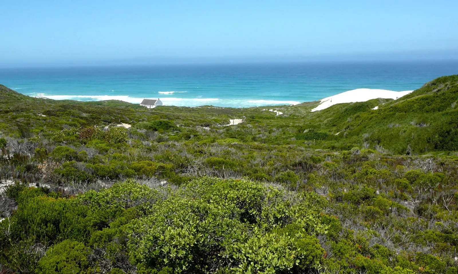
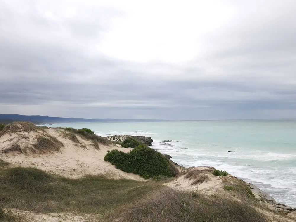
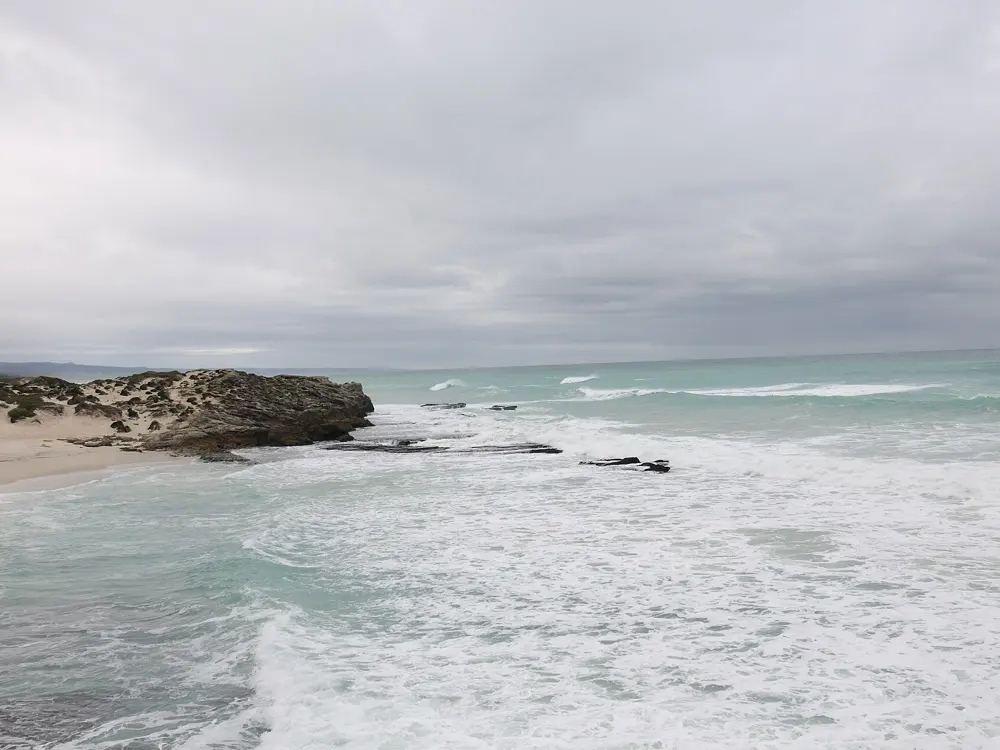
Fynbos-covered dunes running down to the turquoise sea at De Hoop

Photos: Gossipguy (CC BY-SA 3.0), Josep M. Gracia (CC BY-SA 4.0), Josep M. Gracia (CC BY-SA 4.0), Bernard DUPONT from FRANCE (CC BY-SA 2.0)

Distance
About 55.7 km one way, Potberg to Koppie Alleen
Time
5 days, after a first night at Potberg
Highest point
Top of Potberg, 611 m
Whale season
Southern right whales, June to November

Why go

De Hoop is one of CapeNature's flagship reserves, about 34,000 hectares of World Heritage fynbos running down to a marine protected area that CapeNature counts among the largest in Africa. Southern right whales come into these waters to mate and calve between June and November, and the trail's coastal days give long views of them from the shore. Your bags travel between huts, so you walk with a day pack.

The route

The first two days are the hard ones. Day one, 15.5 km, climbs to the top of Potberg at 611 m, where Cape vultures are often seen, then drops to Cupidoskraal. Day two, 15.2 km, follows the Potberg crest and crosses limestone hills to the bay at Noetsie. The last three days are coastal and short: 8.5 km to Hamerkop past the tidal pools at Stilgat, 10.5 km of beach and rock pools to Vaalkrans, and 7 km to Koppie Alleen.

When to go

CapeNature charges its peak rate from June to December, which overlaps the whale months, and its lower rate from January to May. Shade and water are scarce, with the only water point about 10.5 km from the first hut, so carry at least 2 litres a day.

Getting there

Potberg lies on the eastern side of De Hoop, reached through Bredasdorp or Swellendam and then about 50 km of gravel toward Infanta. Check in at the first hut from 14:00, with a compulsory briefing from 14:00 to 15:00; the gate locks at 16:00. Cars stay at Potberg, and a shuttle included in the tariff brings you back from Koppie Alleen at the end.

Permits and booking

CapeNature takes bookings only for groups of six or twelve, online at booking.capenature.co.za or on 087 087 8250. Dates open a year ahead, week by week, and fill fast. In October 2026 the De Hoop tariff page listed R3,230 per person from January to May and R4,600 from June to December, with porterage R560 per 70 litre box. Children under 8 are not allowed.

How hard it is

CapeNature rates day one moderate to strenuous, about 8 hours, and the rest moderate, with day five easy. On the coast, watch for freak waves and rip currents. The Denel Overberg Test Range occasionally uses the eastern sector, and groups may be moved off the trail at short notice.

Where to sleep

Five huts, each sleeping up to 12 in bunk rooms, with solar lights, gas stoves, fridges and showers. Bring your own bedding. At Noetsie, drink only from the tap marked for drinking water.

Tips

  • Book all 12 places if you can, as the hut is then yours alone each night.
  • Keep lunch in your day pack, because boxes reach each hut a little later every day, up to 16:00.
  • Bring a mask and snorkel for the pools at Stilgat on day three.
05 / 10

Cathedral Peak

Didima, uKhahlamba-Drakensberg, KwaZulu-Natal

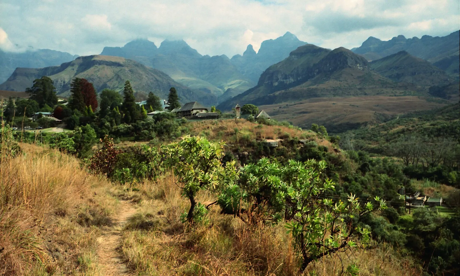
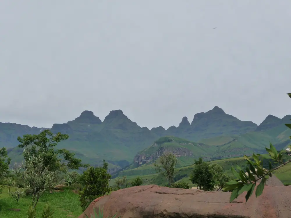
A footpath through grass and trees towards the jagged Cathedral Range of the Drakensberg

Photos: Chris Bloom from Durban, South Africa (CC BY-SA 2.0), Sara Atkins from San Francisco Bay Area (CC BY 2.0), Paul IJpelaar (CC BY 3.0), Josep M. Gracia (CC BY-SA 4.0)

Distance
About 19 km return from Cathedral Peak Hotel
Summit
3,004 m
Ascent
About 1,600 m
Time
One long day, 9 to 12 hours

Why go

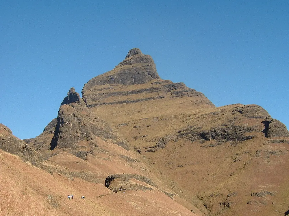
Cathedral Peak stands at the end of the Cathedral Ridge, a line of basalt spires that runs out at right angles to the main Drakensberg escarpment, and its summit can be reached in one long day from the valley. The Amangwane people call it Mponjwana, the little horn. It was first climbed in 1917, and its neighbours include the Bell, the Horns and Mitre Peak. It lies in the Maloti-Drakensberg Park World Heritage Site, run by Ezemvelo KZN Wildlife.

The route

The path, signed Cathedral Peak, leaves the Cathedral Peak Hotel, crosses a river almost at once and climbs a long ridge to Orange Peel Gap, roughly halfway. From the gap it contours behind smaller tops to the foot of Bugger Gully, a steep and loose slog. Below the top of the gully a path leads out right onto the scramble, over sloping slabs, a chain ladder and rock bands, then steep grass to the summit. Most hikers come down the same way.

When to go

Anywhere We Roam suggests March to May, when the rains have eased and the hills are green, with September to November next best. Summer, December to February, brings heavy rain and sudden thunderstorms, so start very early and aim to be down by early afternoon. Winter is cold at altitude.

Getting there

Didima is in the Cathedral Peak valley of the central Drakensberg, which Ezemvelo puts at about four hours' drive from Durban and five from Johannesburg via the N3. Winterton, about 45 km away, is the nearest town for supplies. The Cathedral Peak Hotel, where the hike starts, is 4 km up the road from the Didima control gate, and it charges day visitors for parking.

Permits and booking

Fill in the Mountain Rescue Register at Didima reception before you set out, and sign out when you return. Under Ezemvelo's fee list valid to 31 October 2026, day visitors at Didima pay a conservation fee of R80 per adult for South African and SADC residents and R160 for others, children half; overnight guests in Ezemvelo camps do not pay it. Sleeping out on the mountain needs an overnight hiking permit, R120 per adult per night.

How hard it is

A long, steep day with about 1,600 m of climbing, then scrambling near the top that is exposed in places. Dry basalt gives good holds, but wet rock is extremely slick, and groups have needed ropes to descend in the wet. Anywhere We Roam calls it non-technical but very challenging and says first-timers should take a guide.

Where to sleep

Didima Resort has 61 two-bed chalets, catered or self-catering, at R1,455 a night under the 2025 to 2026 tariff, plus a restaurant and pool; its campsite was closed until further notice in 2026. The privately run Cathedral Peak Hotel at the trailhead includes guided hikes in its rates. Some guides split the hike over two days with a night in a cave, which needs the overnight hiking permit.

Tips

  • Guests at the Cathedral Peak Hotel can join its guided summit hike, which runs every Wednesday and Saturday.
  • Carry all your water from the start, and a warm layer for the summit.
  • If cloud or rain comes in before the scramble, turn back at Bugger Gully, as other parties have done.
06 / 10

Wolfberg Cracks and Wolfberg Arch

Cederberg Wilderness Area, Western Cape

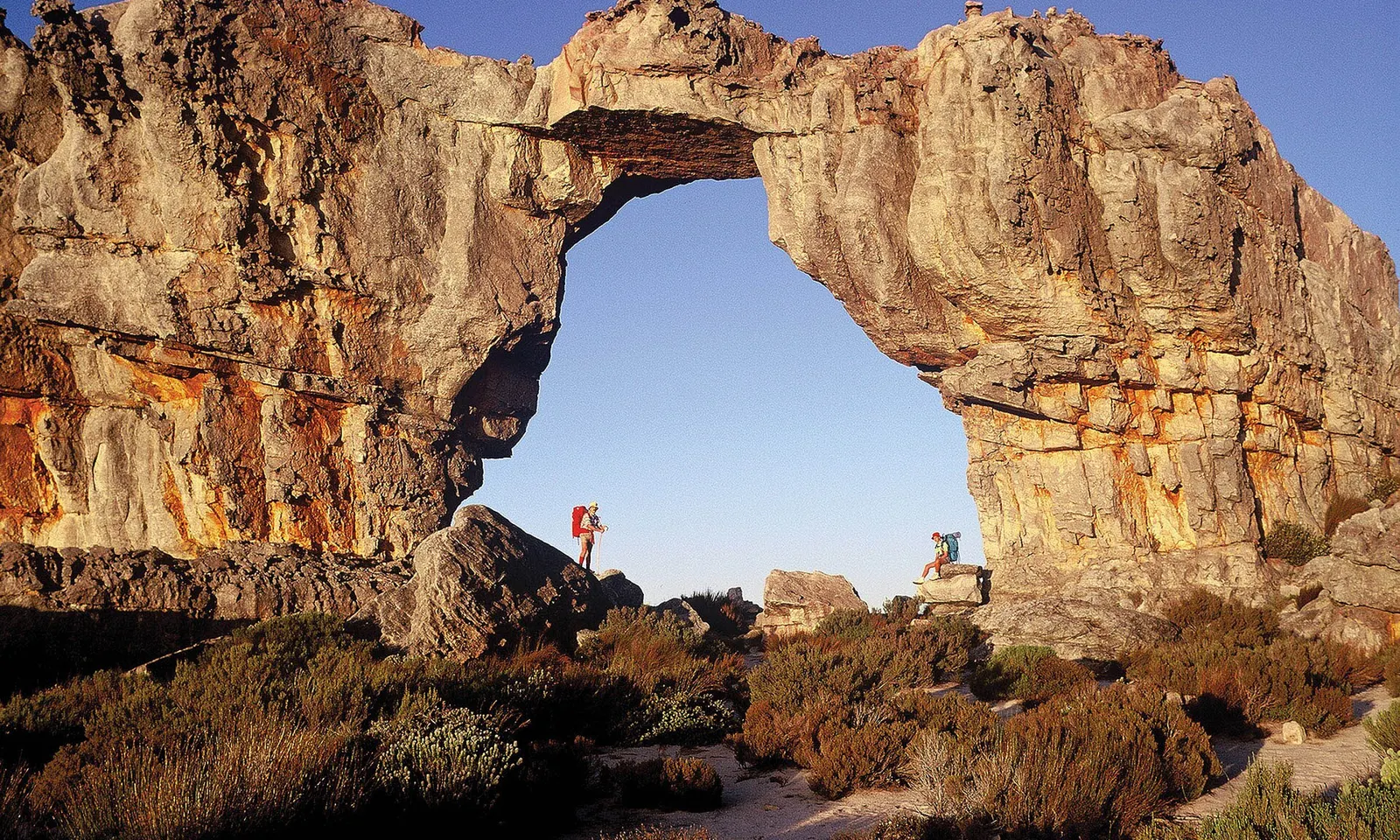
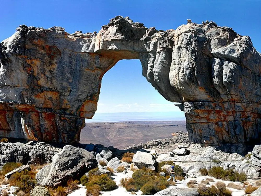
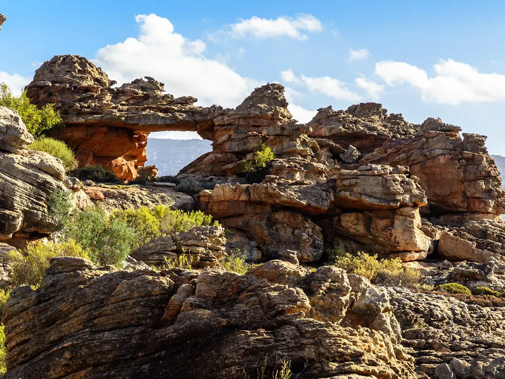
Wolfberg Arch, a span of orange sandstone in the Cederberg, with walkers beneath it

Photos: South African Tourism from South Africa (CC BY 2.0), Amada44 (Public domain), dconvertini (CC BY-SA 2.0), dconvertini (CC BY-SA 2.0)

Distance
About 9 km from Sanddrif to the arch
Time
About 8 hours, by CapeNature's estimate
Arch
About 15 m high
Status
Closed after the May 2026 floods; reopening planned for 1 July 2026, no later notice found

Why go

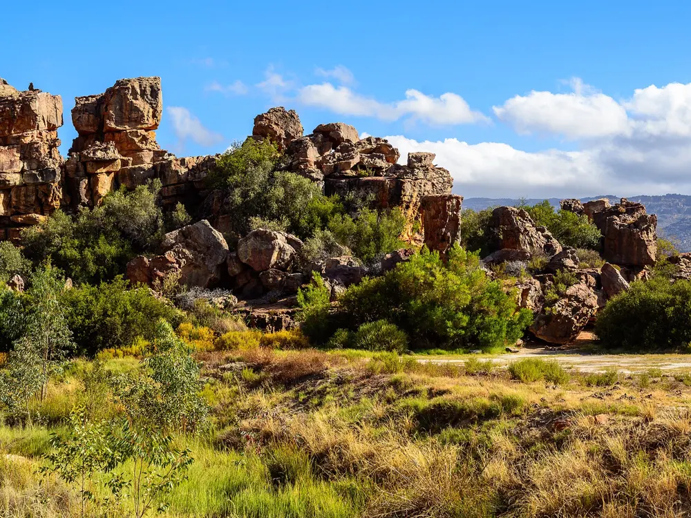
CapeNature names the Wolfberg Arch, with the Maltese Cross, as the best known of the Cederberg's sandstone formations. This walk climbs through the Wolfberg Cracks, narrow clefts reaching some 30 m into the mountain, then crosses the top of the range to the arch, about 15 m high.

The route

From Sanddrif a gravel track runs about 1 km to a small parking area behind a locked gate; the key or code comes with your permit. A steep but good path climbs to the cracks. The main crack needs some easy scrambling, while the optional narrow cracks involve a chimney and a squeeze beneath a boulder, and Sanddrif reception has a map of their start. Above the cracks the path crosses the plateau to the arch, marked only by cairns. Return the way you came, as the descent by Gabriel's Pass is poorly marked.

When to go

The Cederberg lies in the winter rainfall zone. CapeNature says most rain falls between May and September, with snow on the higher parts, while summers are warm and dry. One local guide suggests September to early November and March to May. In summer start at first light, as the plateau has little shade and no water.

Getting there

Sanddrif, on Dwarsrivier Farm, is about 250 km and 3 hours from Cape Town. The usual route leaves the N7 about 28 km past Citrusdal at the Algeria turn-off and crosses the Uitkyk Pass. Floods in May 2026 collapsed that pass, and CapeNature said access would then be possible only by the roads from Ceres and from Citrusdal through Op-die-Berg to Matjiesrivier.

Permits and booking

You need a day permit from Sanddrif reception (+27 27 482 2825), open from 08:00 on weekdays and Saturdays. CapeNature also lists Driehoek and Keurbosfontein as permit sellers for other routes to the arch. Camping at the arch is not allowed; overnight hikes need a separate CapeNature permit. After a fire in December 2025 and floods in May 2026, CapeNature closed the arch pending damage checks, with a planned reopening on 1 July 2026. Confirm with Sanddrif that it is open before you drive.

How hard it is

CapeNature says the walk begins strenuous and eases as you near the arch, and that it is not for beginners or the unfit. The cracks alone take about 1 to 1.5 hours up. CapeNature asks that nobody hike in the wilderness with fewer than three adults.

Where to sleep

Sanddrif has self-catering cottages at R2,300 to R2,600 a night for four people and riverside camping at R720 a site for four, on rates valid from 1 March 2026 to 28 February 2027.

Tips

  • Carry at least 2 litres of water each.
  • Fires are forbidden in the mountains, gas cookers included, so bring food that needs no cooking.
  • Save CapeNature's Cederberg emergency number, 082 453 3766, before you lose signal.
07 / 10

Amatola Hiking Trail

Amathole Mountains, near Hogsback, Eastern Cape

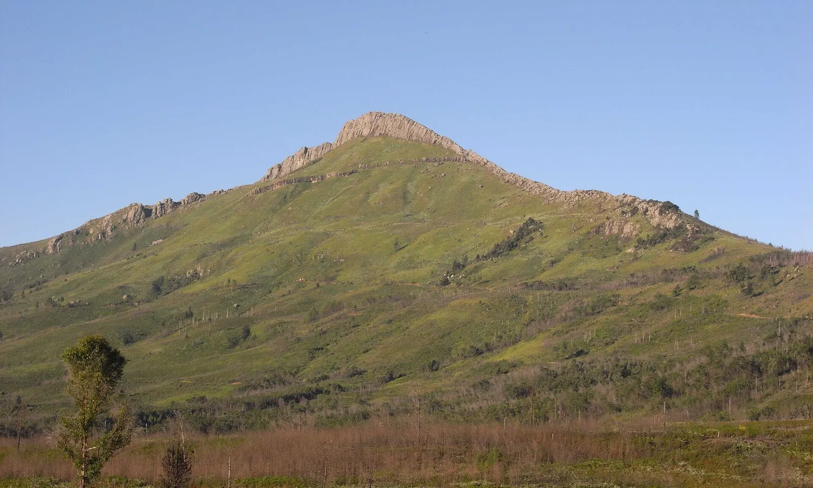
A green peak with a rocky crest above Hogsback in the Amathole Mountains

Photos: Lysippos (CC BY-SA 3.0), Lysippos (CC BY-SA 3.0), Vysotsky (CC BY-SA 4.0), Lysippos (CC BY-SA 2.0 de)

Distance
About 100 km one way, Maden Dam to the Tyume River near Hogsback
Time
6 days, 5 nights in huts
Highest point
Geju Peak, 1,880 m
Season
Open 1 September to 31 May; closed June to August

Why go

The trail operator calls the Amatola wild, steep, wet and remote, and says it is widely regarded as one of South Africa's toughest multi-day hikes. It crosses indigenous forest, mountain grassland and high ridges, with waterfalls and rock pools along much of the way. South African Tourism notes that these mountains were a natural fortress for the Xhosa people, and that King Sandile fought the British here in the War of the Axe in the 1840s.

The route

Day one climbs more than 750 m through the Pirie forest from Maden Dam to Gwili Gwili hut, 11.9 km. Day two, 19.1 km to Dontsa, has little water on the way. Day three, 20.6 km to Cata, is the longest and toughest, rising from forest to a plateau of grassland and wildflowers. Day four climbs about 600 m to Geju Peak and then drops roughly 1,000 m through the Malan forest into the Mnyameni gorge. Day five has many swimming spots before the Schwarzwald forest and Zingcuka hut, and day six passes waterfalls and climbs about 950 m below Hogsback peak to finish 4 km outside the village.

When to go

The trail is open from 1 September to 31 May and closed in June, July and August. The operator names autumn and spring as the best seasons, with May generally the best month, though early snow is possible. Summer weather changes quickly.

Getting there

Hikers spend the night before the start at Away with the Fairies in Hogsback, where there is a briefing at 6 pm, and a shuttle leaves at 8 am for the drive of about two hours to Maden Dam. Stingy Nomads puts East London airport about 140 km from Hogsback, and Amatola Trails runs a shuttle between the two.

Permits and booking

Amatola Trails, a private company, books the trail and arranges the permits; permit and hut fees go to the national forestry department, DFFE, one month before the start. In October 2026 it quoted R3,125 per adult for the six-day trail, valid to 31 March 2027, but its site is unclear on whether DFFE fees are included, so confirm when booking. Groups must have at least four hikers, and children under 15 are not allowed.

How hard it is

Very hard. Days run from about 12 to 21 km with up to 1,000 m of climbing on rough, steep, often wet paths, and phone signal is intermittent. The trail is self-guided.

Where to sleep

Five wooden huts, Gwili Gwili, Dontsa, Cata, Mnyameni and Zingcuka, each sleep up to 24 on bunks with mattresses. There is no electricity; hot water comes from wood-fired donkey boilers, and each hut has a braai area.

Tips

  • Carry enough water from the first stream on day two, about 1.2 km out, to last to Dontsa hut.
  • Keep your pack to about a fifth of your body weight and bring a warm sleeping bag, as nights are cold.
  • Rocks at the waterfall about 4 km into day three are slippery after rain.
08 / 10

Coffee Bay to Hole in the Wall

Wild Coast, Eastern Cape

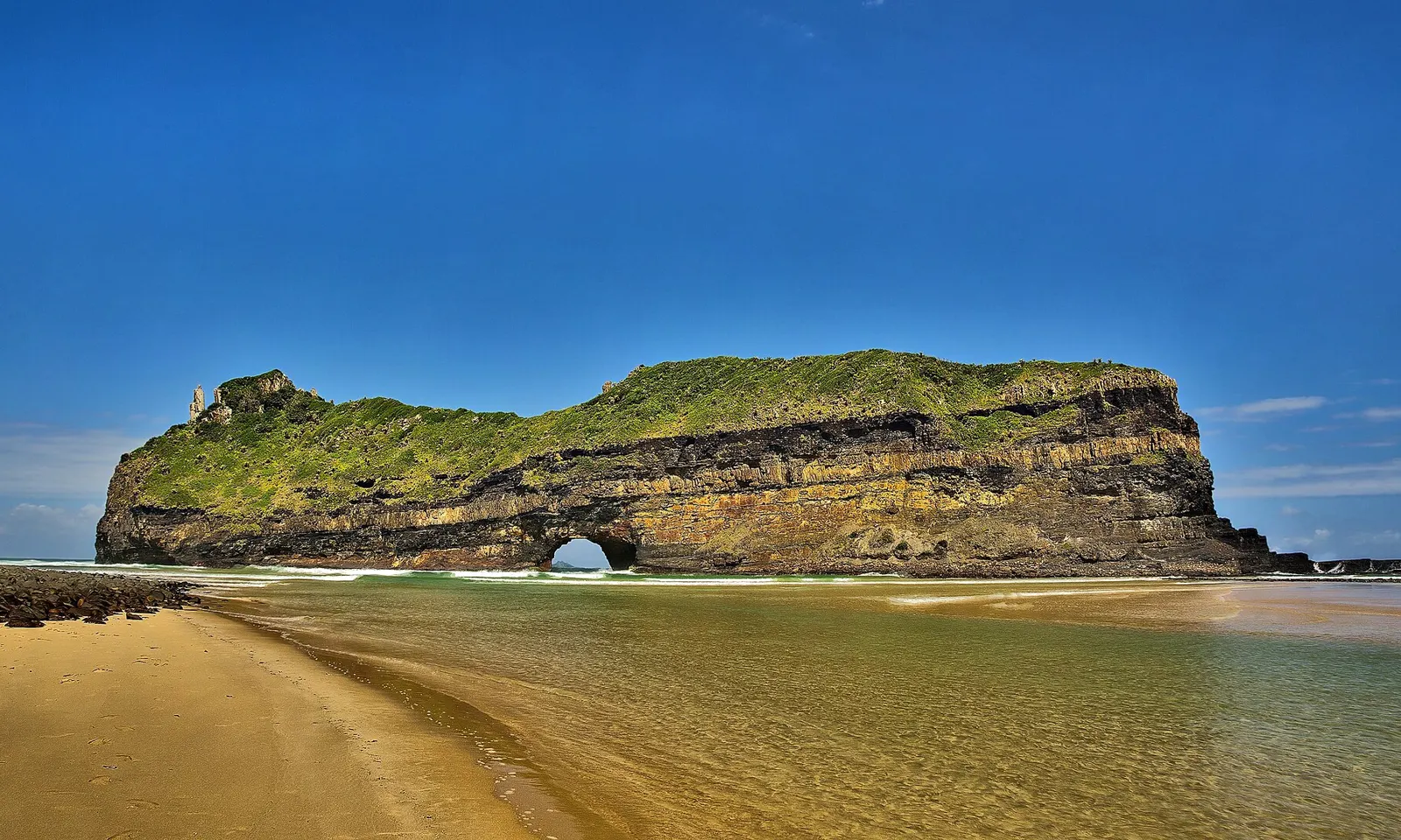
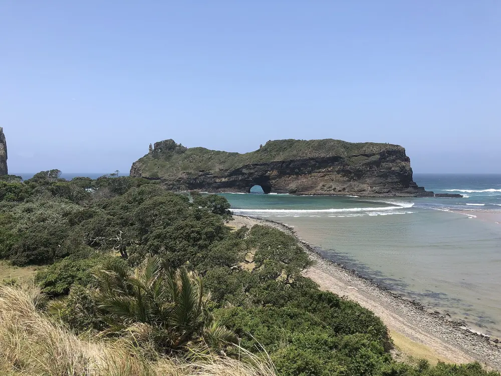
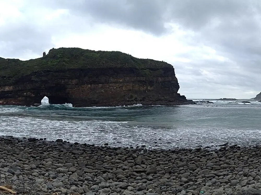
Hole in the Wall, a cliff-sided island with an arch, off a sandy beach on the Wild Coast

Photos: Vincentvanoosten (CC0), GrantsJ1 (CC BY-SA 4.0), Bernard303 (CC BY-SA 4.0), GrantsJ1 (CC BY-SA 4.0)

Distance
About 10 to 11 km one way along the coast
Time
About 3 hours one way
Finish
Hole in the Wall, at the mouth of the Mpako River
Nearest city
Mthatha, about 80 km from Coffee Bay

Why go

Hole in the Wall is a detached cliff standing in the sea with an arch cut through it. South African Tourism explains that it is Ecca shale and sandstone capped with hard dolerite, and that waves wore away the softer rock until the cliff split from the land. The Eastern Cape Parks and Tourism Agency dates those rocks to some 260 million years. In Xhosa the place is esiKhaleni, the place of sound, for the crack of waves on the rock.

The route

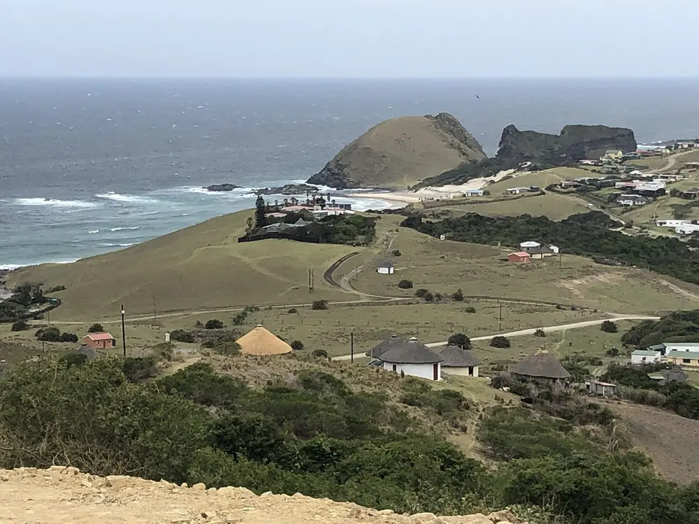
The walk starts on the beach at Coffee Bay and follows the coast south over grassy cliffs, past Baby Hole and the Hlungwane Waterfall, to the beach opposite the arch. Paths are informal and fade in places. The stretch is part of longer guided routes: one fully guided trail continues past Hole in the Wall to the Bulungula eco-lodge over two hiking days of 16 km and 13 km, and the four or five day hike from Port St Johns ends at Coffee Bay.

When to go

You can walk here all year; summer rain usually comes as short thundershowers. Heavy rain can leave the gravel roads too poor for tour vehicles, so guided outings may change at short notice.

Getting there

Coffee Bay is reached on the R411, which leaves the N2 at Viedgesville south of Mthatha. Expect potholes, and avoid driving after dark, as cows and goats wander onto the roads. Without a car, take a coach or the Baz Bus to Mthatha, where Coffee Bay lodges run shuttles. Most walkers return by a taxi booked through their lodge, about 20 minutes on a bumpy dirt road.

Permits and booking

No permit or fee is needed for the day walk. The multi-day hike from Port St Johns needs permits from Silaka Nature Reserve.

How hard it is

One operator says the section between Coffee Bay and Hole in the Wall has some of the steepest hills on the Wild Coast. The path contours steep slopes that may feel exposed if you dislike heights, though there are no dangerous sections.

Where to sleep

Coffee Bay has backpacker lodges such as Coffee Shack, which runs a guided Hole in the Wall hike with lunch at the arch. At the far end, the Hole in the Wall Hotel and Holiday Village has self-catering thatched chalets behind the beach.

Tips

  • Walk with a local guide from your lodge: the path is hard to follow alone, and experienced Wild Coast walkers recommend a guide for safety.
  • River mouths may have to be waded depending on the tide, so check a tide table and ask locally before crossing any estuary.
  • Do not try to swim through the arch, and watch for undertow off the beaches.
09 / 10

Rhebok Hiking Trail

Golden Gate Highlands National Park, Free State

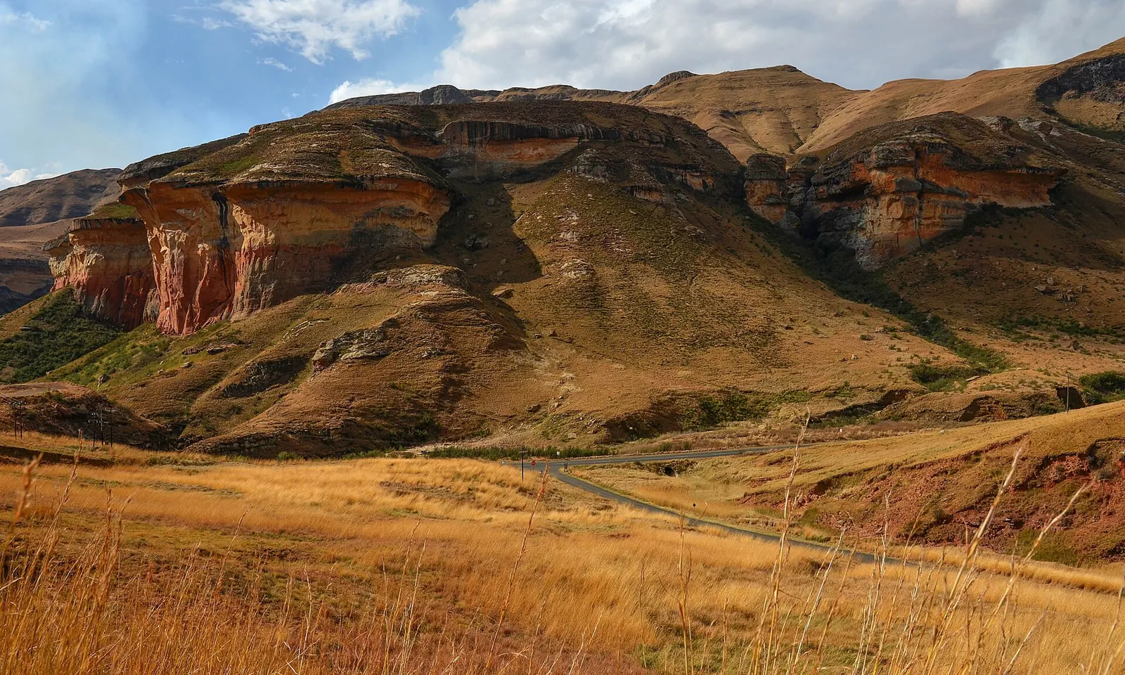
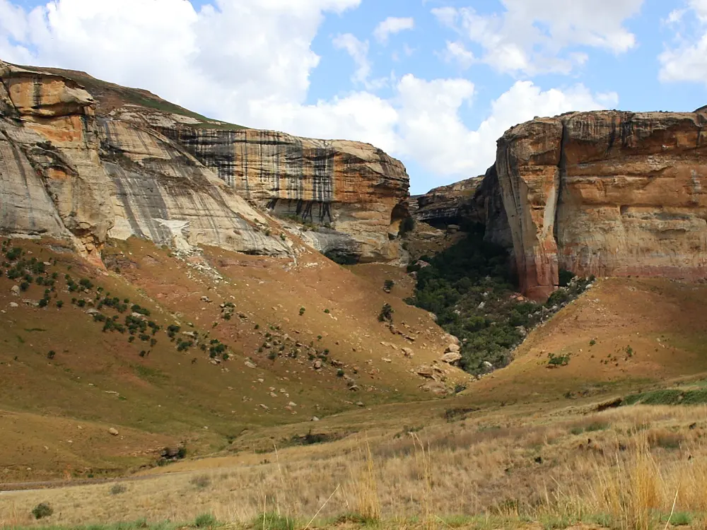
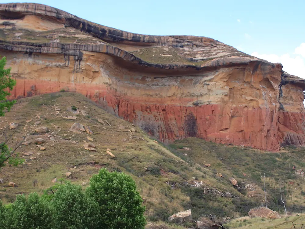
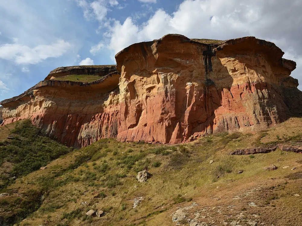
Red and gold sandstone cliffs above grassland in Golden Gate Highlands National Park

Photos: Pavel Špindler (CC BY 3.0), Hendrik van den Berg (CC BY 3.0), Hendrik van den Berg (CC BY 3.0), Pavel Špindler (CC BY 3.0)

Distance
28 km loop from Glen Reenen Rest Camp
Time
2 days, with one night at Ribbok Hut
Group size
Up to 18 people per group
Season
All year; summer storms, winter snow

Why go

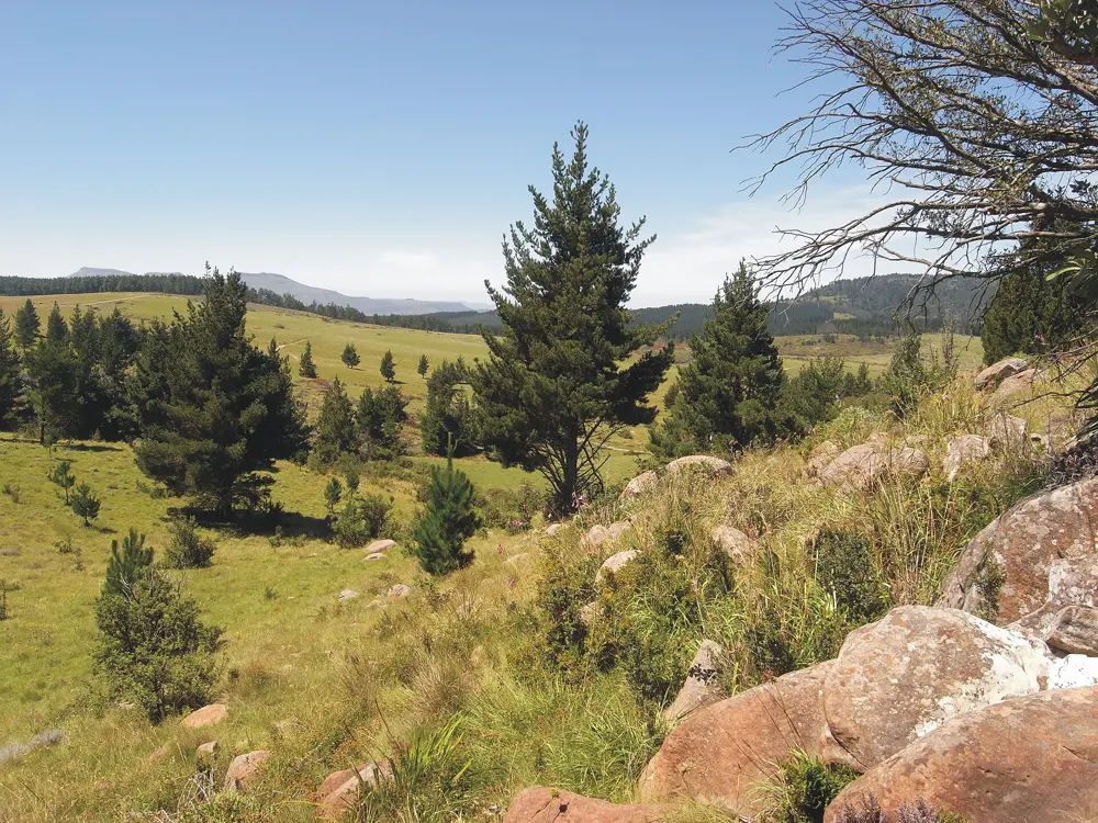
SANParks points its more adventurous visitors to this trail, which it spells Ribbok, and its trail guide calls it one of the most popular in the Free State. It climbs from the golden sandstone cliffs around Glen Reenen into the high grassland of the Maluti foothills, where black wildebeest, eland and red hartebeest graze and bearded vultures and black eagles fly. The park, proclaimed in 1963, covers 11,630 ha on the border with Lesotho.

The route

The trail leaves Glen Reenen Rest Camp with a steep climb up Brandwag, the sandstone buttress over the camp, then follows Boskloof and its small stream to Ribbok Hut. The second day can take up to 8 hours. It follows the Ribbokspruit to the highest point of the trail, with a view across to Lesotho, then descends a rocky ridge on the watershed between the Buffelspruit and the streams feeding the Little Caledon River. Wodehouse Peak and Echo Ravine are also on the route, which ends back at Glen Reenen.
When to go

South Africa's tourism board says any time of year suits the trail. Most of the park's rain, about 760 mm a year, falls between September and April, often in afternoon thunderstorms, so in summer reach the ridge early. Winters are dry, but SANParks warns that temperatures can drop to between minus 9 and minus 15 degrees C and that snow is regular.

Getting there

Golden Gate is in the eastern Free State, roughly equidistant from Johannesburg, Durban and Bloemfontein, and the public R712 runs through the park. From the N3, leave at Harrismith, take the N5 toward Bethlehem and turn onto the R712 past Phuthaditjhaba. From Bethlehem, take the R711 to Clarens and then the R712. The Golden Gate Hotel is 20 km from Clarens, and Glen Reenen Rest Camp is close by.

Permits and booking

The trail is unguided, and SANParks says advance booking is essential. Book through SANParks Central Reservations (+27 12 428 9111) or the park (+27 58 255 1000) and ask for the current trail fee, which is charged separately. Everyone also pays the daily conservation fee: until 31 October 2026, R73 for South African adults, R149 for SADC nationals and R325 for international adults, rising on 1 November 2026 to R76, R158 and R358. Children pay about half.

How hard it is

SANParks describes an easy start and a challenging second day. The climb up Brandwag is short but steep, and the second day pairs a long ascent with a long descent off a ridge where strong winds are common. The path is narrow and rocky in places.

Where to sleep

Ribbok Hut, near halfway, has bunk beds with mattresses, a kitchen area, an outside braai and an ablution block with a donkey shower, heated by a wood fire. Firewood and a coal stove are provided; bring your own cooking gear, food and sleeping bag. Glen Reenen Rest Camp has rondavels, cottages and campsites for the nights before and after.

Tips

  • Fill your tank before you reach the park: in April 2026 SANParks said the Glen Reenen filling station was closed until further notice.
  • Carry enough water for each day and a waterproof layer, as the weather changes suddenly.
  • Leave the hut at first light on the longer second day.
10 / 10

Olifants River Backpack Trail

Kruger National Park, on the Olifants River between Limpopo and Mpumalanga

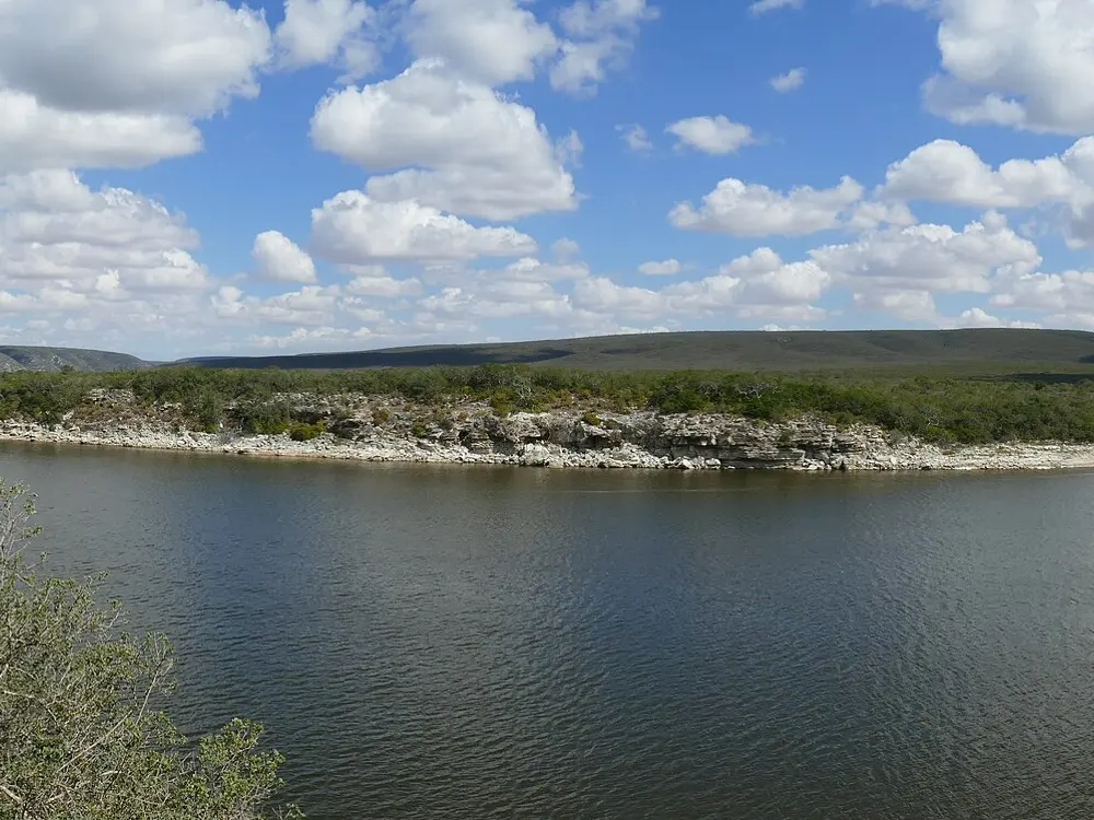
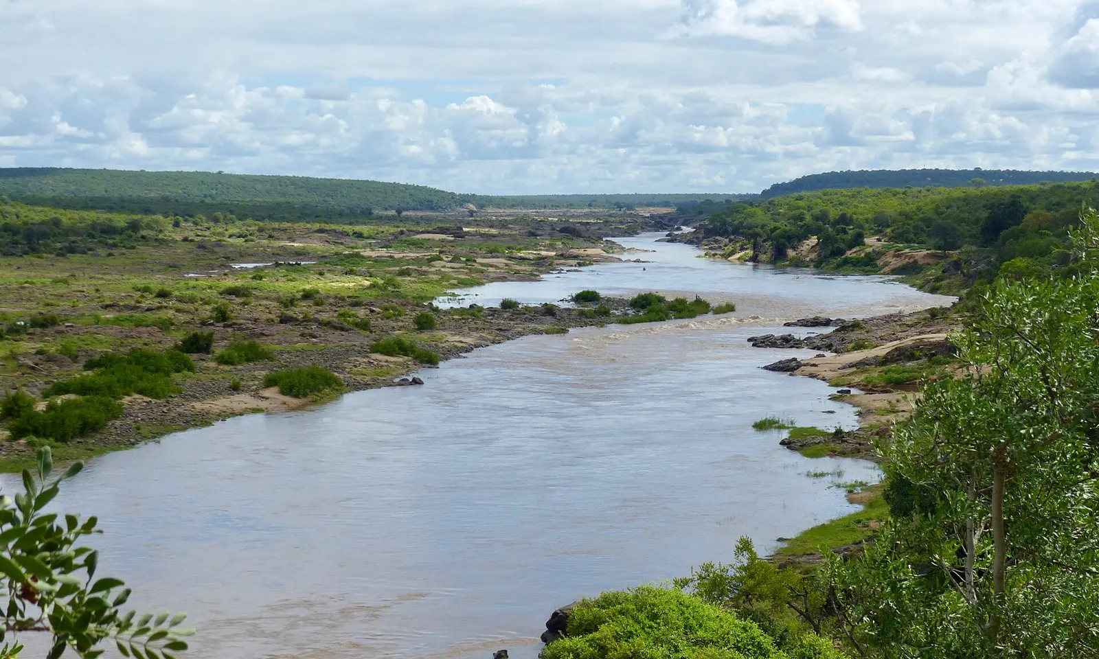
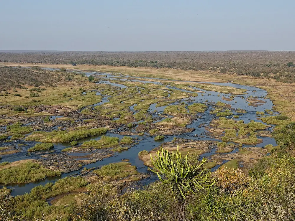
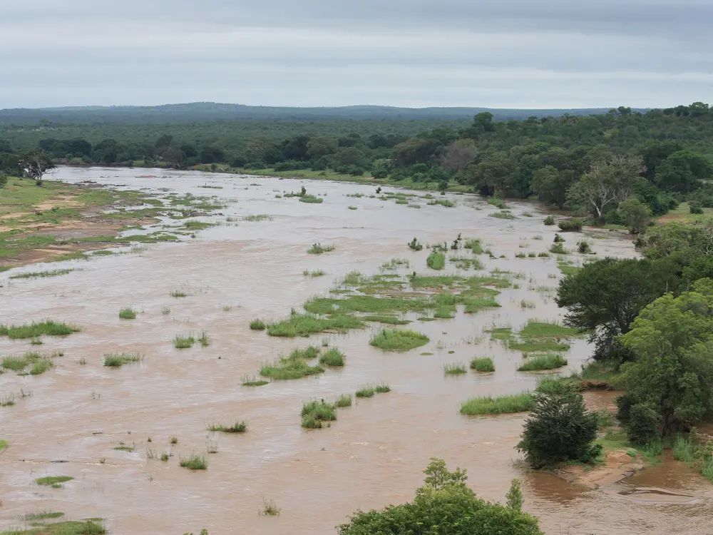
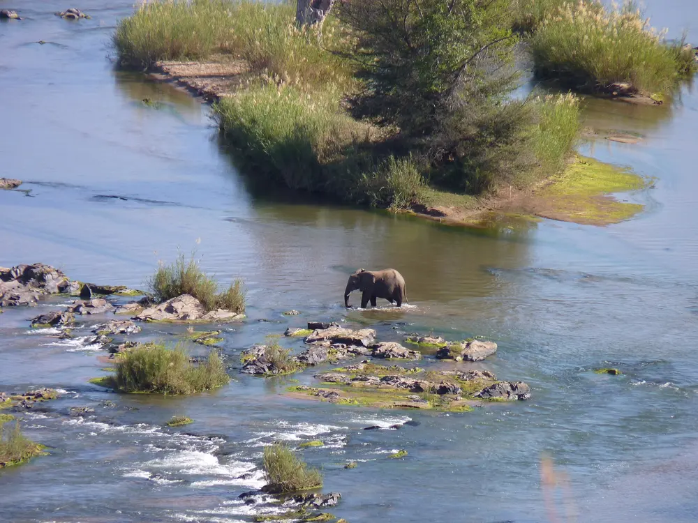
The Olifants River winding between green banks in Kruger National Park

Photos: Bernard DUPONT (CC BY-SA 2.0), Bjørn Christian Tørrissen (https://bjornfree.com/) (CC BY-SA 4.0), David Siu from Memphis, TN (CC BY 2.0), Malapo Country Lodge (CC BY-SA 4.0)

Distance
About 42 km, from Olifants Rest Camp
Time
4 days, 3 nights
Group
Up to 8 hikers with 2 armed guides
Daily walking
10 to 15 km after an easy first day of 4 to 5 km

Why go

This is a chance to walk, carrying everything, through Big Five country in South Africa's largest national park. SANParks opened the trail in March 2006 along the upper Olifants River, a stretch that until then had been the domain of rangers and scientists. The river, which forms the boundary between Limpopo and Mpumalanga, runs past rugged veld and rocky ground under big riverine trees such as sycamore fig, apple leaf, matumi and leadwood.

The route

There is no fixed path. The group is driven out from Olifants Rest Camp by open vehicle, and the trail leader picks each night's camp along the river upstream of the high-water bridge. The first day is an easy 4 to 5 km. On the other days walking starts at dawn, stops through the heat of the day for a siesta by the river, and ends with a short walk to camp.

When to go

SANParks does not give a season on the trail page, so ask Reservations about dates when you book. Bookings open on a rolling basis about a year ahead; in October 2026, dates up to 31 October 2027 could be booked.

Getting there

The nearest airport is Gateway in Phalaborwa, with daily flights from Johannesburg, about 3 km from Phalaborwa Gate. Olifants Rest Camp is 83 km from the gate, and SANParks suggests allowing about three hours for the drive. Private cars stay at Olifants Camp during the trail, and SANParks advises booking a night at Olifants or Letaba before and after.

Permits and booking

Book through SANParks Online Bookings or Kruger Reservations on +27 12 428 9111. Every hiker must present a medical certificate showing they are fit and in good health. On top of the trail fee, Kruger's daily conservation fee for 1 November 2025 to 31 October 2026 is R602 for international adults, R275 for SADC nationals and R134 for South Africans.

How hard it is

Moderate to hard. The distances are short, but you carry a tent, food and gear for four days through dense thickets, uneven ground, hills and frequent gullies. SANParks asks for a reasonable level of fitness.

Where to sleep

There are no huts. You carry your own tent and sleep in it every night at a camp the leader chooses. Fires are lit for company and safety, not cooking, so bring a gas stove. Water comes from the river and must be treated with purification tablets.

Tips

  • Book a night at Olifants Rest Camp before you start, as hikers meet at reception at 8 am for a briefing and a compulsory gear check.
  • Pack light: guides may ask you to leave non-essential items at camp if your pack is too heavy.
  • Ask a doctor about malaria prophylactics, which SANParks calls essential for its wilderness trails.

Sources

Distances, heights, seasons and permit rules were checked against these pages. Rules change, so check the park or trail authority before you go.