Rungs Labs

Rungs Pilgrimage · Hikes · Australia and New Zealand

The 10 Best Hikes in Australia and New Zealand

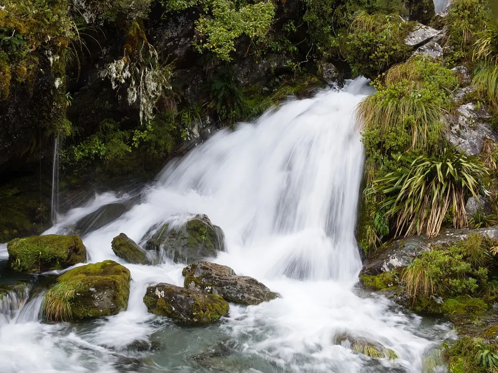
Milford Track, Fiordland National Park, Southland, New Zealand. Photo: AlasdairW (CC BY-SA 3.0)

These ten walks cover both countries. In New Zealand they run from the fiords and alpine passes of the far south to Aoraki Mount Cook, the golden beaches of Abel Tasman and the volcanoes of Tongariro. In Australia they cross the highlands of Tasmania, the red ranges west of Alice Springs, the rainforest island of Hinchinbrook, the granite coast of the far southwest and the roof of the mainland at Kosciuszko.

Most of them have to be booked. New Zealand's Great Walks open their huts for booking months ahead and the popular dates go within minutes, the Overland Track and the Thorsborne Trail limit how many people start each day, and several parks charge entry fees. For each hike you get the distance, the route, the best season, how to get there, the bookings and permits, and where to sleep. Every fact comes from the park agencies, tourism bodies and route guides linked at the bottom of the page.

Updated 2026-10-18

  1. 01Milford TrackFiordland National Park, Southland, New Zealand
  2. 02Overland TrackCradle Mountain-Lake St Clair National Park, Tasmania
  3. 03Routeburn TrackFiordland and Mount Aspiring National Parks, New Zealand
  4. 04Tongariro Alpine CrossingTongariro National Park, Central North Island, New Zealand
  5. 05Larapinta TrailTjoritja / West MacDonnell National Park, Northern Territory
  6. 06Abel Tasman Coast TrackAbel Tasman National Park, Nelson Tasman, New Zealand
  7. 07Mueller Hut RouteAoraki/Mount Cook National Park, Canterbury, New Zealand
  8. 08Main Range WalkKosciuszko National Park, New South Wales, Australia
  9. 09Thorsborne TrailHinchinbrook Island National Park, Queensland
  10. 10Cape to Cape TrackLeeuwin-Naturaliste National Park, Western Australia
01 / 10

Milford Track

Fiordland National Park, Southland, New Zealand
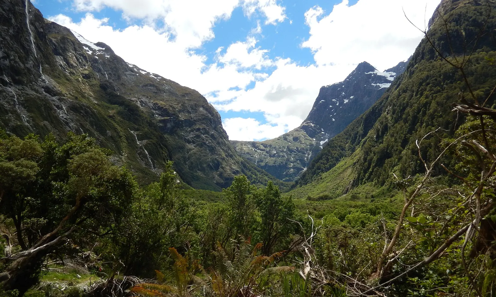
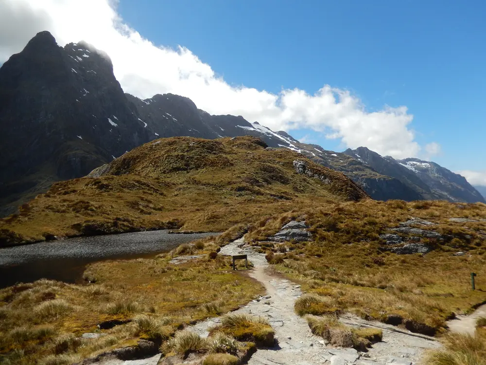
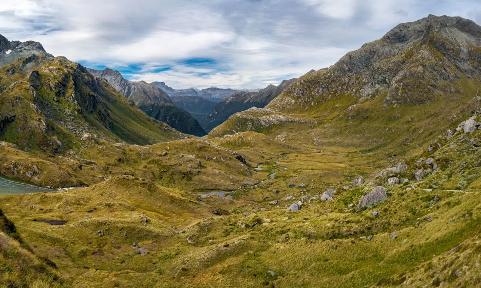
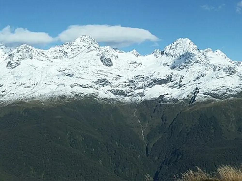
Peaks and cloud above the golden tussock of Mackinnon Pass on the Milford Track

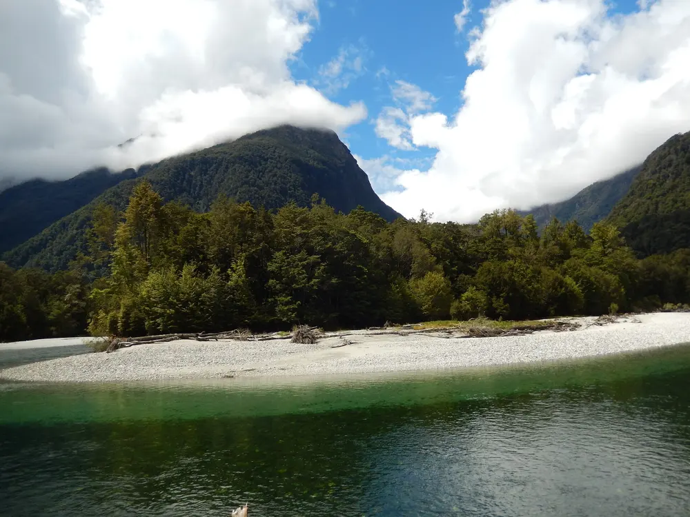
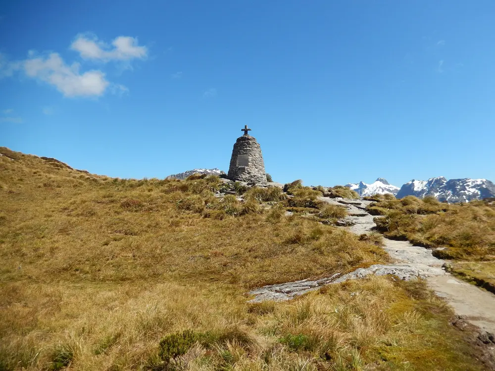
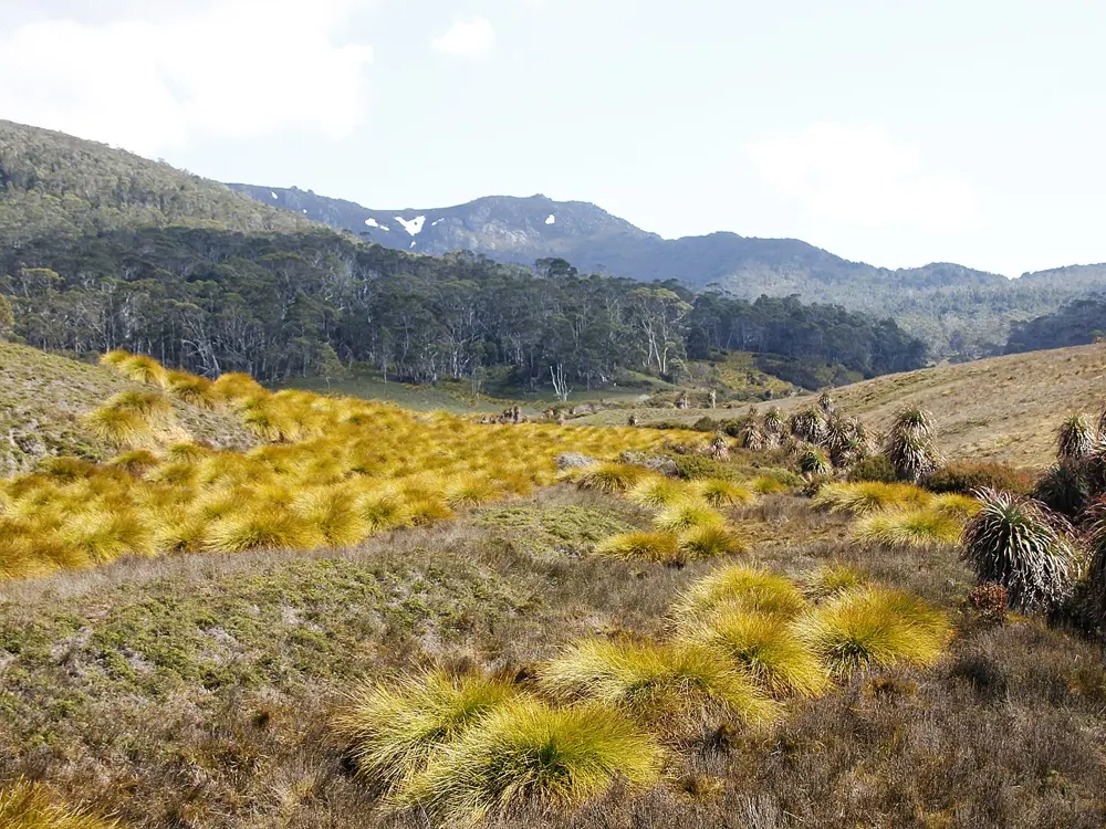
Photos: AlasdairW (CC BY-SA 3.0), AlasdairW (CC BY-SA 3.0), AlasdairW (CC BY-SA 3.0), AlasdairW (CC BY-SA 3.0)

Distance
53.5 km one way
Time
4 days, 3 nights, one direction only
Highest point
1,154 m, Omanui/McKinnon Pass
Season
Great Walk season 1 November 2026 to 30 April 2027

Why go

The Milford Track runs from the head of Lake Te Anau to Milford Sound/Piopiotahi through Fiordland, where rain can reach 9,000 mm a year and fills the valley walls with waterfalls. Quintin McKinnon found the pass that now carries his name in 1888 and guided the first walkers across it. Independent walking has been allowed since 1966.

The route

The walk can only be done in one direction over three nights. Day one is a short 5 km from Glade Wharf to Clinton Hut. Day two is 17.5 km to Mintaro Hut, about 6 hours. Day three climbs more than 500 m to Omanui/McKinnon Pass at 1,154 m, then drops about 1,000 m to Dumpling Hut, 13 km in 6 to 7 hours, with a 1.5 hour return side trip to Sutherland Falls, which drops 580 m in three leaps from Lake Quill. Day four is 18 km to Sandfly Point.

When to go

The Great Walk season for 2026/27 runs from 1 November 2026 to 30 April 2027, with the last departure on 28 April 2027. Avalanche risk can last into December. In 2025 avalanches damaged bridge footings and the track, and DOC pushed the opening back to 19 November. From May to late October the track is not run as a Great Walk: some bridges are removed, there is no flood or avalanche management, and walkers need alpine and avalanche gear.

Getting there

There is no road to either end. Take a bus from Te Anau to Te Anau Downs, about 30 minutes, then a boat of about 1 hour 15 minutes to Glade Wharf. At the end a 20 minute boat runs from Sandfly Point to Milford Sound, with buses back to Te Anau and Queenstown. Book this transport in advance; independent operators sell full and partial packages in season.

Permits and booking

In the Great Walk season every night must be booked online with DOC before you go, and walking without a booking can bring a penalty or being turned away. Hut fees per person per night in season are NZ$106 for New Zealand adults and NZ$152 for international adults, NZ$53 and NZ$76 for children, and free for infants; New Zealand rates need proof of eligibility. Bookings for 2026/27 opened on 13 May 2026 and the season sold out in 34 minutes, so check the site for cancellations. Up to 90 walkers start each day in summer, 40 independent and 50 guided. Ultimate Hikes runs a 5 day, 4 night guided walk from Queenstown, departing from 1 November 2026 to 12 April 2027.

How hard it is

Moderate for fit walkers, with one big climb and a long, steep descent on day three. Parts of the track are exposed, steep, slippery and muddy, and DOC does not recommend it for children under 10. DOC may fly walkers over avalanche-prone sections at their own cost.

Where to sleep

Independent walkers stay at Clinton, Mintaro and Dumpling huts, each with a DOC ranger, bunks with mattresses, heating, toilets, cold water and basic cooking facilities, but no pots or showers. Camping is not allowed. Guided walkers sleep in private lodges at Glade House, Pompolona and Quintin.

Tips

  • Be online before 9:30 am on booking day in May, with several date options ready, since DOC uses a virtual queue.
  • Keep a spare day before any flight home, as rain can close the track or stop the boats, and carry all your food, as none is sold on the track.
02 / 10

Overland Track

Cradle Mountain-Lake St Clair National Park, Tasmania

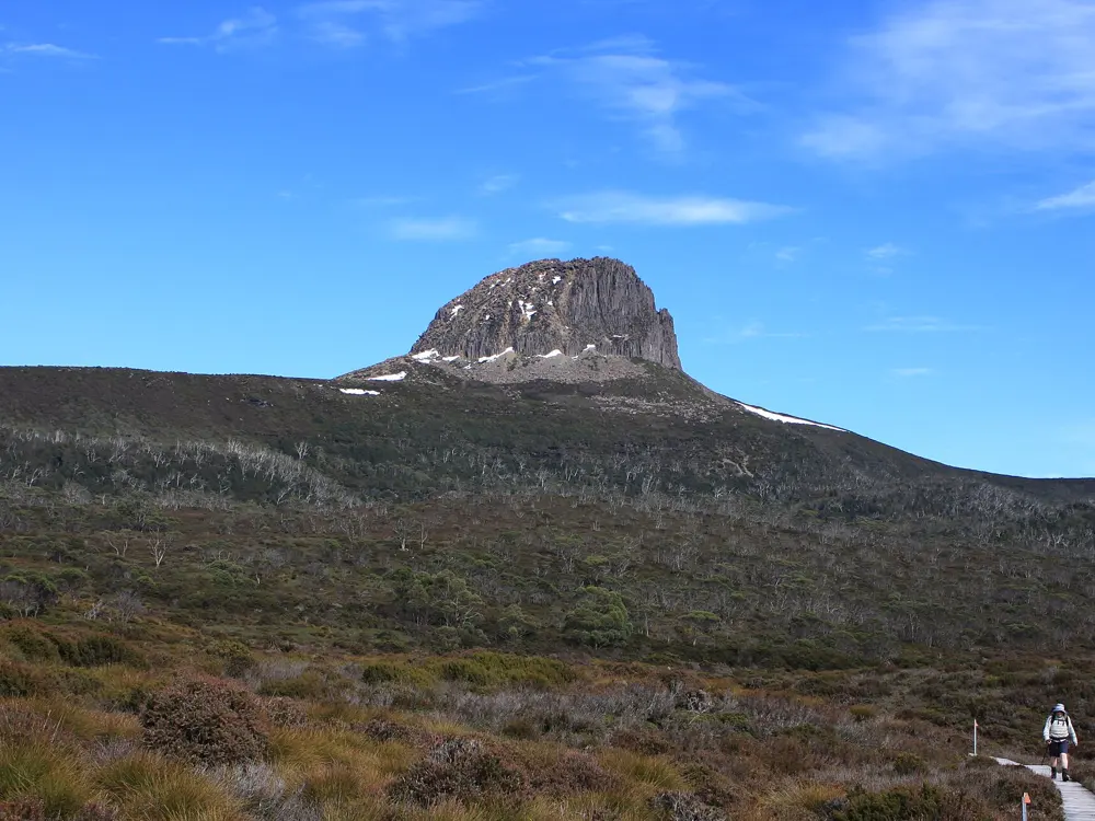
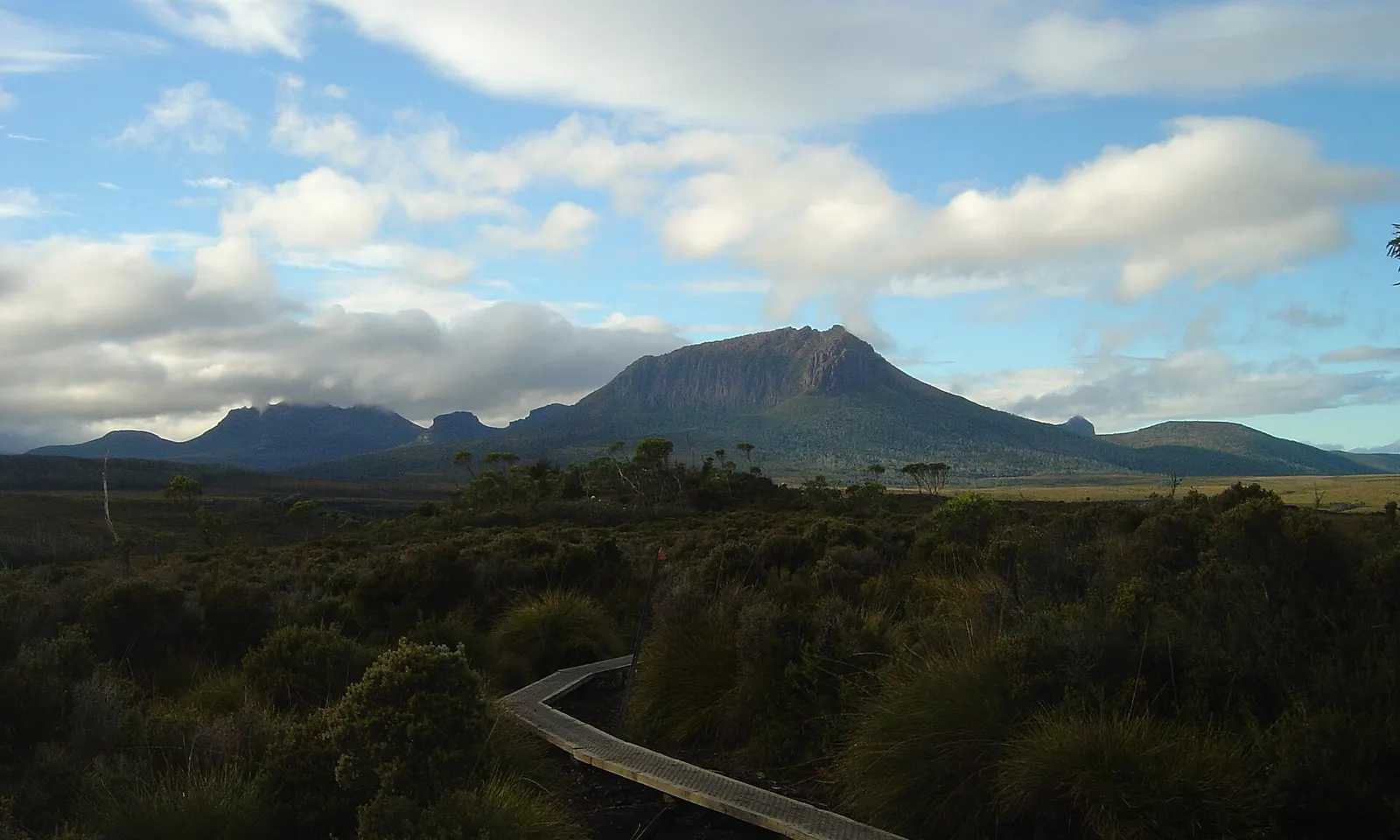
A boardwalk crossing the buttongrass plains toward the mountains on the Overland Track

Photos: Matt Klassen (CC BY-SA 4.0), Quinn Kacic-Midson (CC BY-SA 4.0), brewbooks from near Seattle, USA (CC BY-SA 2.0), Darren Grattidge (CC BY-SA 4.0)

Distance
65 km one way, Ronny Creek to Narcissus
Time
About 6 days
Highest side trip
Mount Ossa, 1,617 m, Tasmania's highest peak
Season
Booking season 1 October to 31 May

Why go

Tasmania Parks and Wildlife calls this Australia's premier alpine walk, and it crosses the heart of the Tasmanian Wilderness World Heritage Area from Cradle Mountain to Lake St Clair. The track passes glacial valleys, rainforest, eucalypt forest, buttongrass plains and alpine meadows, and almost half of it lies above 1,000 m. The fur trapper Bert Nichols blazed it in 1931, and it was officially named the Overland Track by 1937.

The route

Walkers start at Ronny Creek and, during the booking season, must walk north to south. Day one climbs to Marions Lookout and crosses exposed plateau to Waterfall Valley. Day three, the longest at 16.8 km, runs through rainforest to Pelion, and day four climbs to Pelion Gap, where a 5.2 km return side trip reaches the top of Mount Ossa. The last two days pass waterfalls to Narcissus Hut at the head of Lake St Clair.

When to go

The booking season runs from 1 October to 31 May, and bookings open at 9 am AEST on the first Tuesday in July. Winter walkers can start between 1 June and 23 September, but the park says winter is only for very experienced bushwalkers. Severe cold, wet and windy weather can come in any month.

Getting there

Buses run all year to the Cradle Mountain and Lake St Clair visitor centres from Hobart, Launceston and Devonport. From the Cradle Mountain Visitor Centre a shuttle bus runs about 7 km to Ronny Creek. At the end, most walkers take the privately run ferry from Narcissus to Cynthia Bay, which must be booked before you start; the fare was $60 one way for adults in October 2026. Otherwise it is a 17.5 km walk along the lake.

Permits and booking

From 1 October to 31 May you must book a departure date and pay the Overland Track fee, $312 for adults and $272 for children and concessions, which covers park entry and the shuttle. Up to 34 independent walkers may leave each day, in bookings of up to eight. Collect your pass at the Cradle Mountain Visitor Centre after a walker briefing. In winter you register instead and need a valid Tasmanian parks pass.

How hard it is

The park grades it 4: long, rough and very steep in places, for fit walkers with experience in remote alpine country. Deaths have occurred, including in summer. It is not recommended for children under 8.

Where to sleep

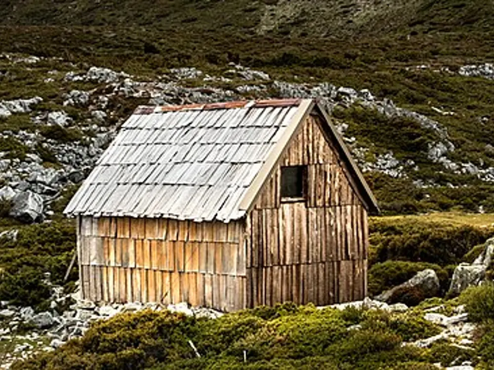
Public huts at Waterfall Valley, Windermere, Pelion, Kia Ora, Bert Nichols and Narcissus hold between 18 and 36 people, with bunks but no mattresses, composting toilets and rainwater tanks. They cannot be booked, so every walker must carry a tent; each site also has tent platforms.

Tips

  • Join the online waiting room between 8 and 9 am on opening day, when places are handed out by random queue, and keep a few dates in mind.
  • Book the Lake St Clair ferry before you set out, and confirm it on the radio at Narcissus Hut.
  • Treat water from the hut tanks before drinking, and keep all food in sealed bags inside your pack, as possums tear tents.
03 / 10

Routeburn Track

Fiordland and Mount Aspiring National Parks, New Zealand

Golden tussock slopes and mountains around Harris Saddle on the Routeburn Track

Photos: Ilya Grigorik (CC BY-SA 3.0), Pseudopanax at English Wikipedia (Public domain), Christoph Strässler from Oberdorf BL, Schweiz (CC BY-SA 2.0), Zoharby (CC BY-SA 3.0)

Distance
About 32 to 33 km one way
Time
Usually 3 days, 2 nights
Highest point
1,255 m, Harris Saddle/Tarahaka Whakatipu
Season
Great Walk season 1 November 2026 to 30 April 2027

Why go

The Routeburn crosses the Southern Alps between Mount Aspiring and Fiordland national parks, linking the Routeburn valley near Glenorchy with The Divide on the road to Milford Sound. It is shorter than the Milford Track and spends much of its middle day in open alpine country.

The route

It can be walked either way. From the Routeburn Shelter the track climbs 7.5 km to Routeburn Flats Hut and 2.3 km more to Routeburn Falls Hut. The next stage, 11.3 km and 4.5 to 6 hours, crosses Harris Saddle/Tarahaka Whakatipu at 1,255 m, the border between the parks, and continues to Lake Mackenzie Hut. The last 12 km pass the 174 m Earland Falls and Lake Howden to The Divide. Side trips climb Conical Hill from the saddle, 1.5 to 2 hours return, and Key Summit near The Divide, 1 to 1.5 hours return.

When to go

The Great Walk season for 2026/27 runs from 1 November 2026 to 30 April 2027. Avalanche risk can last into December across more than 32 avalanche paths, and DOC can close sections in season: on 31 October 2025 the stretch between Routeburn Falls and Lake Mackenzie huts was shut by deep snow and avalanche danger at the start of the season. From May to late October huts have no rangers or gas, some bridges are removed, and walkers need alpine skills and avalanche gear.

Getting there

The Routeburn Shelter is 25 km from Glenorchy, partly on unsealed road, and The Divide is 85 km from Te Anau. The two ends are about 325 km apart by road, so book shuttles or another transfer for each end, and avoid pick-ups that make you walk before it is light.

Permits and booking

Huts and campsites must be booked online with DOC for the Great Walk season, and walkers without a booking can be charged a penalty or turned away. Hut fees per person per night in season are NZ$88 for New Zealand adults and NZ$132 for international adults, NZ$44 and NZ$66 for children. Campsites are NZ$28 and NZ$42 for adults, NZ$14 and NZ$21 for children. Infants are free and New Zealand rates need proof of eligibility. Bookings for 2026/27 opened on 15 May 2026. Ultimate Hikes runs a 3 day, 2 night guided walk from Queenstown with its own lodges near Lake Mackenzie and Routeburn Falls.

How hard it is

Moderate. The climb to Harris Saddle and the exposed traverse beyond are the hardest part, with steep drop-offs in places, and weather changes fast in any season. After heavy rain, wait or turn back rather than cross a flooded stream. It is not recommended for children under 10.

Where to sleep

There are three DOC huts, Routeburn Flats, Routeburn Falls and Lake Mackenzie, and two campsites. Huts have bunks with mattresses, heating, toilets, cold water and basic cooking facilities, but no bedding, pots or showers. Lake Howden Hut was destroyed in a storm in February 2020. Most walkers stay at Routeburn Falls and Lake Mackenzie.

Tips

  • Booking a Routeburn Falls and Lake Mackenzie pair is the hardest part, so be online before 9:30 am on opening day in May and keep checking for cancellations.
  • Cross Harris Saddle in the morning when you can, and carry warm, waterproof layers even in midsummer.
04 / 10

Tongariro Alpine Crossing

Tongariro National Park, Central North Island, New Zealand

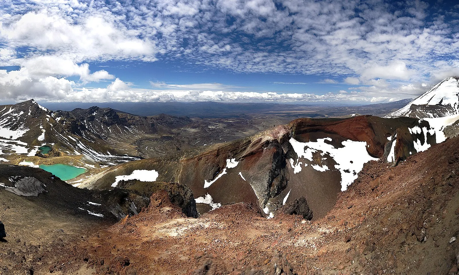
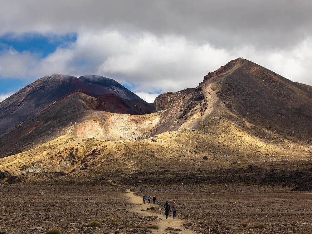
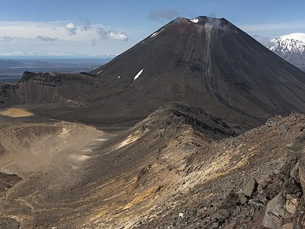
The Emerald Lakes and the rust-red rim of Red Crater with patches of snow

Photos: Jeffrey Pang from Madison, NJ, USA (CC BY 2.0), rheins (CC BY 3.0), jokin.lacalle (CC BY 2.0), KennyOMG (CC BY-SA 4.0)

Distance
19.4 km one way
Time
About 7 to 9 hours
Highest point
Red Crater, 1,886 m
Season
Late October to April; winter conditions May to October

Why go

This day walk crosses the volcanic heart of New Zealand's first national park, founded in 1894 and in 1993 the first place listed as a cultural World Heritage site. You pass steaming vents, the red rim of Red Crater and the green Emerald Lakes, Ngā Rotopounamu, with Mount Ngauruhoe beside you. The land is sacred to Ngāti Tūwharetoa, and the lakes are tapu.

The route

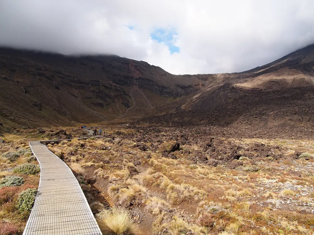
The crossing is one way. It starts at 1,120 m at the Mangatepōpō Road end and climbs the valley to the Devil's Staircase and the flat floor of South Crater, then climbs again to Red Crater. Loose scree drops to the Emerald Lakes, the track passes Blue Lake and sidles around Tongariro before a long zigzag descent to the Ketetahi Road end at 760 m.

When to go

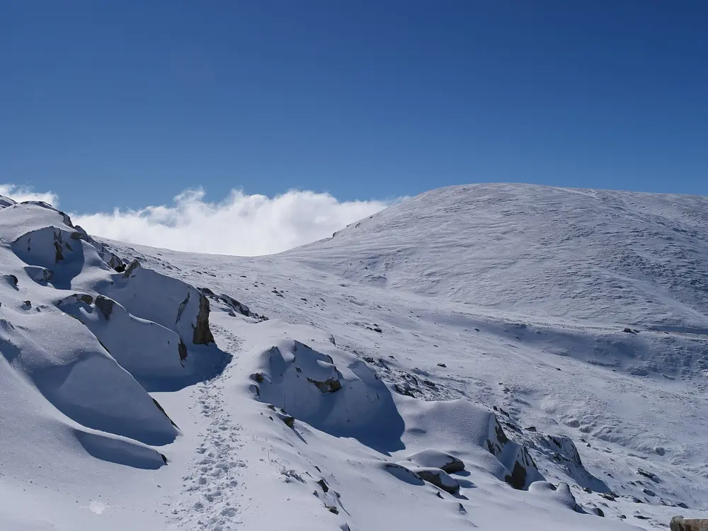
Most people walk from late October to April. DOC treats May to late October as winter, expects ice from April to October and notes that snow can fall in any month. In summer DOC issues a hazardous weather advisory at 6 am when the Red Crater forecast shows strong wind or heavy rain.

Getting there

Most walkers use a shuttle, from Whakapapa Village, National Park, Tūrangi, Ohakune, Taupō and other towns, for about $40. From Labour Weekend to 30 April there is no parking at Mangatepōpō for anyone doing the whole crossing. A private car park near the Ketetahi end runs a shuttle to the start; it reopens for the season on 24 October 2026 and closes at 7 pm. Shuttles generally stop in winter, when guided trips include transport.

Permits and booking

Walking is free. DOC asks everyone to book online, also free, and shuttles and guides need your booking. Climbing Ngauruhoe is no longer allowed, and dogs, bikes and drones are banned. After fires in November and December 2025 the crossing reopened on 10 December, and a 10 year rāhui covers the burned land, so stay on the track. An access charge for international visitors is planned but not yet in force.
How hard it is

DOC asks for a high level of fitness on steep, rough ground. Eruptions are possible without warning; Te Maari last erupted in 2012, and GeoNet showed Tongariro at Volcanic Alert Level 0 in October 2026. In snow you need an ice axe, crampons and avalanche experience, and DOC recommends a guide.

Where to sleep

There is nowhere to stay on the crossing, so base yourself at Whakapapa Village, about 10 km away, or National Park village, about 14 km.

Tips

  • Carry 2 to 3 litres of water, as water on the track is not safe to drink, and use the toilets, spaced every 1 to 2 hours, when you reach them.
  • Check GeoNet and the DOC page the evening before and again at 6 am, and choose a lower walk if the weather is poor.
05 / 10

Larapinta Trail

Tjoritja / West MacDonnell National Park, Northern Territory

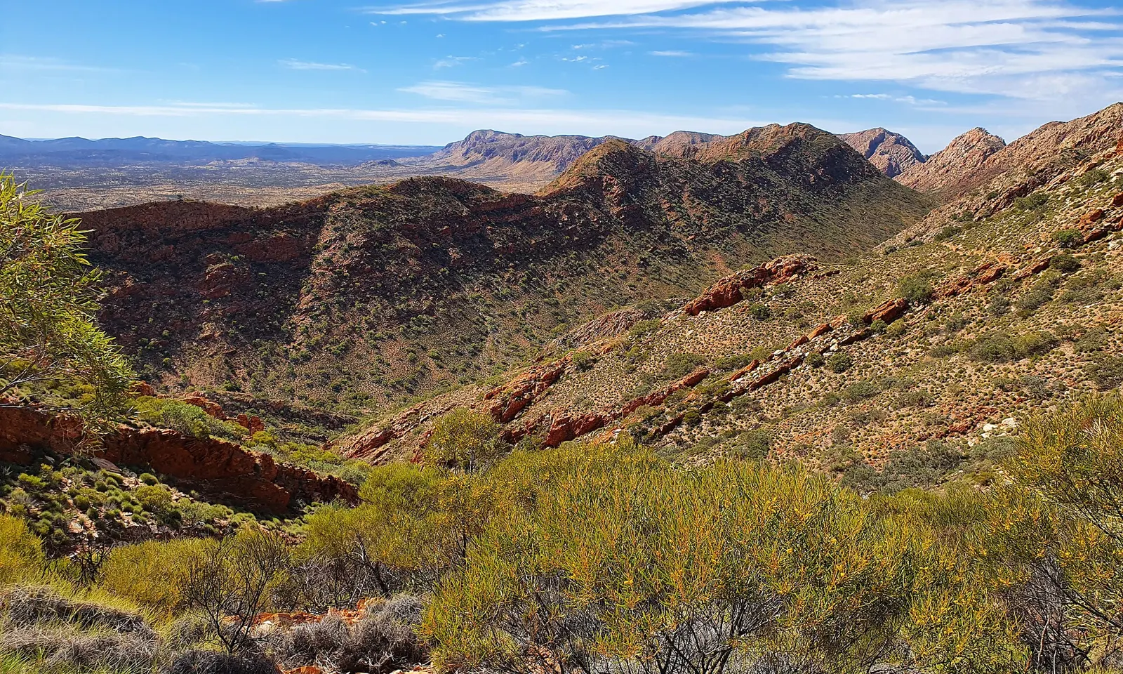
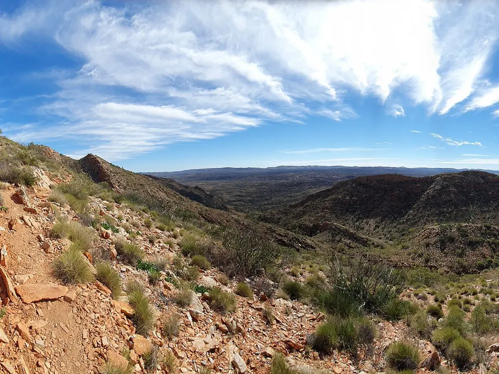
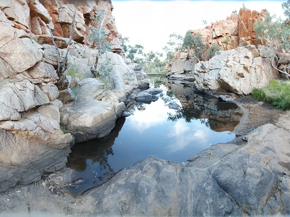
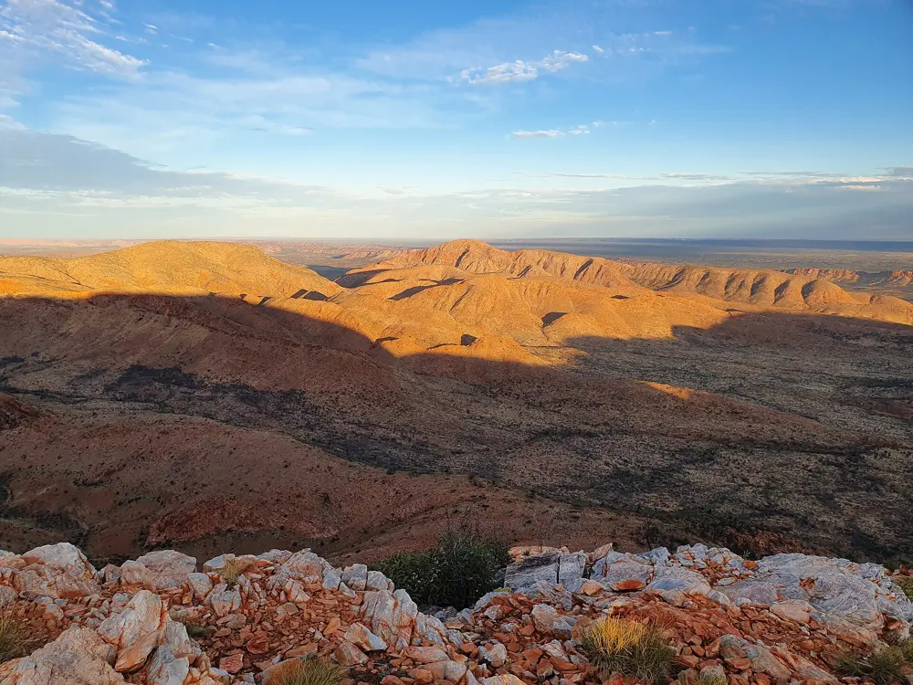
Folded red ridges of the West MacDonnell Ranges from the Larapinta Trail

Photos: Kattastroffee1976 (CC BY-SA 4.0), Kattastroffee1976 (CC BY-SA 4.0), Kattastroffee1976 (CC BY-SA 4.0), Kattastroffee1976 (CC BY-SA 4.0)

Distance
About 223 to 231 km one way, in 12 sections
Time
Allow about 20 days end to end
Western end
Mount Sonder (Rwetyepme), 1,380 m
Season
April to September

Why go

The trail follows the spine of the West MacDonnell Ranges west from the Alice Springs Telegraph Station to the summit of Mount Sonder, through country of great significance in Arrernte culture. Tjoritja is the Western and Central Aranda (Arrernte) name for the ranges, and the park took the dual name in 2014. It links a string of gorges and waterholes, including Simpsons Gap, Standley Chasm, Ellery Creek, Serpentine Gorge and Ormiston Gorge.

The route

NT Parks divides the trail into 12 sections, each taking one or two days, graded from 3 to 5. Sections 4 and 5, around Hugh Gorge, are the most demanding, and in Hugh Gorge you may have to wade or swim through pools. Section 9 is one of the longest, and you need to carry two days of water, with an overnight camp at Waterfall Gorge. Section 12 needs a night out before the final climb to Mount Sonder; the marked summit is about 750 m short of the true top, chosen for safety.

When to go

Walk between April and September. Campsites, facilities and water tanks are serviced only in those months. From October to March the heat is extreme, often above 40 C, bushfire danger is high, commercial operators stop and trekking is strongly discouraged. Even in the cool season, hot days can occur, so walk early and late.

Getting there

The trail begins in Alice Springs at the Telegraph Station. Telegraph Station and Simpsons Gap can be reached in an ordinary car, but some trailheads need a high clearance 4WD. Private operators such as Larapinta Express and Larapinta Trail Trek Support run transfers from Alice Springs to the trailheads; Larapinta Express listed Ellery Creek South from $245.

Permits and booking

You must book online and pay before you go, choosing a designated campground for every night; you may only camp elsewhere in an emergency. NT Parks charges an overnight walking fee of $25 per person per night, capped at $125, with camping fees on top. Standley Chasm is private and charges its own entry and camping fees. Interstate and overseas visitors also need an NT Parks Visitor Pass, bought online.

How hard it is

This is a remote, rocky walk through steep ranges with long gaps between water. Many people walk single sections or a week rather than the whole trail.

Where to sleep

There are 26 designated campgrounds along the trail, including a private one. Rangers fill water tanks at trailheads and campsites; surface water is unreliable and should be boiled or treated.

Tips

  • Leave food drops at Ellery Creek South, Serpentine Gorge or Ormiston Gorge; the key comes from the Alice Springs visitor centre in Todd Mall for a $50 refundable deposit and a $10 fee.
  • Check the NT Parks current conditions page before you go: Discovery Parks Glen Helen was listed as closed for food, fuel and camping, and some toilets were shut.
06 / 10

Abel Tasman Coast Track

Abel Tasman National Park, Nelson Tasman, New Zealand

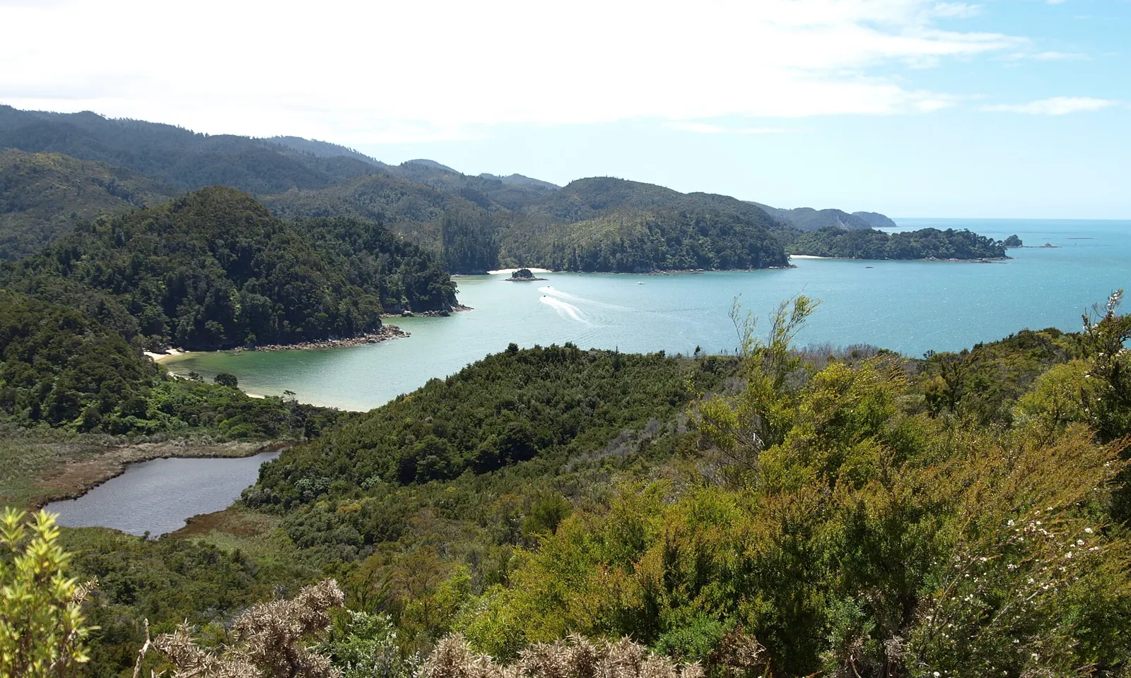
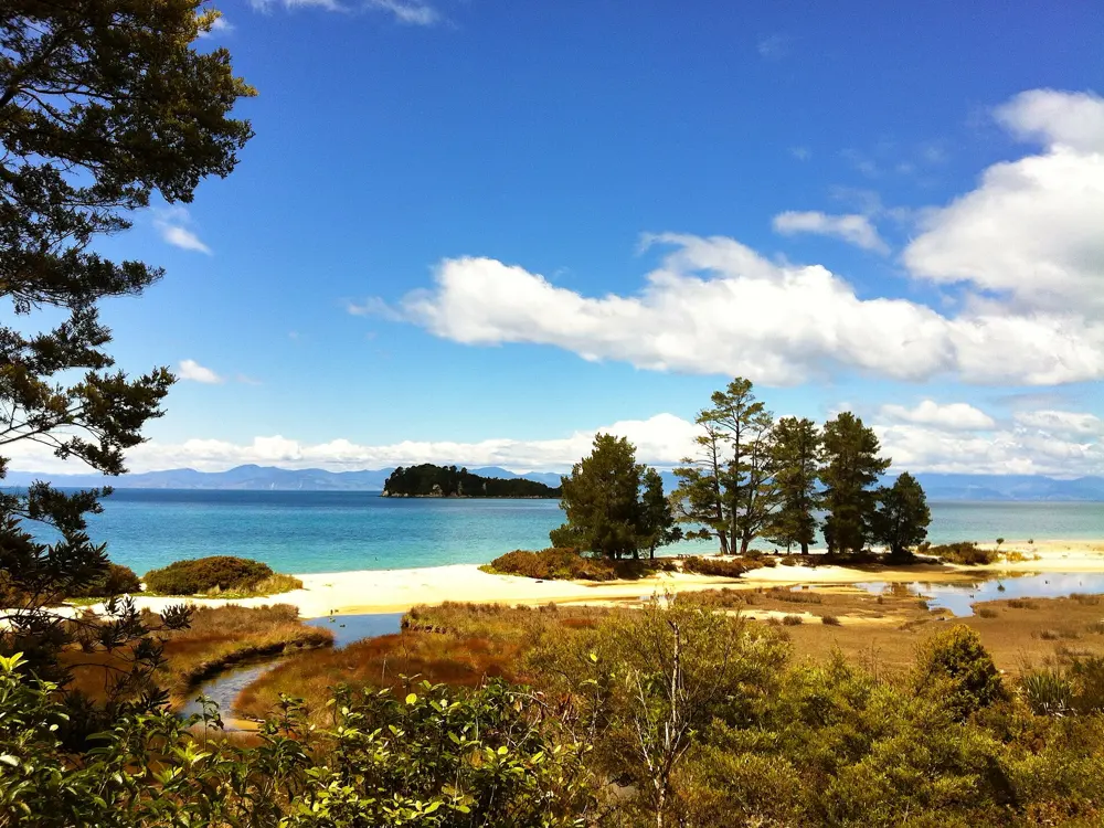
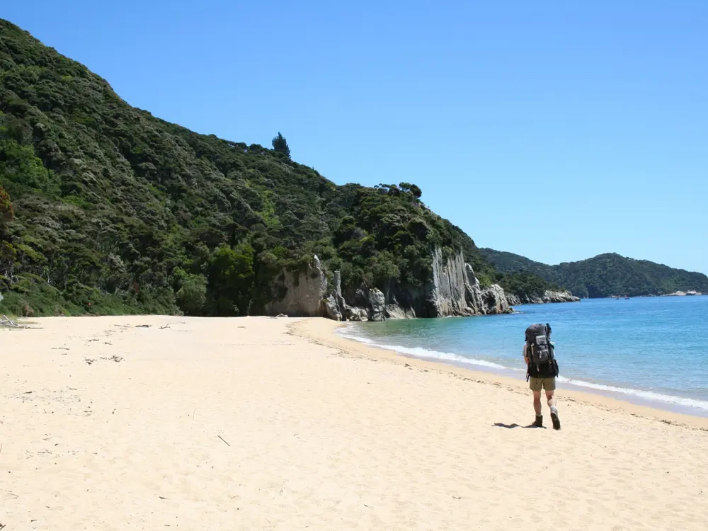
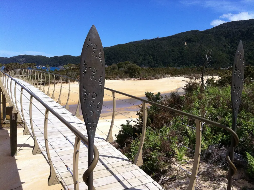
Forested headlands and a turquoise bay along the Abel Tasman coast

Photos: arbyte (CC BY-SA 3.0), David Broad (CC BY 3.0), Department of Conservation (CC BY 2.0), David Broad (CC BY 3.0)

Distance
60 km one way
Time
3 to 5 days
Highest point
About 200 m, a saddle near Wainui Bay
Season
All year; peak Great Walk season 1 October to 30 April

Why go

This Great Walk follows a sheltered coast of golden beaches, bush and tidal estuaries, mild in every season, and is the most popular tramping track in the country. Fur seals rest on the granite headlands, and water taxis call at many beaches, so you can walk the whole track or a single section.

The route

From Mārahau it is 12.4 km to Anchorage, near Cleopatra's Pool. To Bark Bay you cross the Torrent Bay estuary at low tide, 8.4 km, or take the 11.5 km all tide track over the Falls River swing bridge. Bark Bay to Awaroa is 13.5 km, then the Awaroa Inlet leads to Tōtaranui, 7.1 km. The track climbs to Whariwharangi Bay, 9.8 km, and ends at Wainui, 5.7 km on. Separation Point, with its lighthouse and seals, is about an hour's side trip.

When to go

The track is open all year. From October to April international hut prices are highest and stays are limited to 2 nights per site; from May to September prices drop and 5 nights are allowed. DOC publishes tide tables to October 2027.

Getting there

Mārahau is 67 km from Nelson on a sealed road; Wainui is 128 km from Nelson, 21 km from Takaka. Tōtaranui is the only road access between them. Water taxis, booked ahead, run all year from Mārahau or Kaiteriteri to bays as far as Tōtaranui, but none go further north, so finish at Wainui with a shuttle bus.

Permits and booking

Day walks and park entry are free, but every night in a hut or campsite must be booked with DOC, all year; 2026/27 bookings are open. From 1 October to 30 April adults pay $55 a night in huts and $21 at campsites as New Zealanders, $84 and $31 as international visitors. From 1 May to 30 September all pay $42, or $33 in July and August, in huts and $21 at campsites. Freedom camping is banned.

How hard it is

The track is rated easy, on dirt and sand. Awaroa Inlet is the one compulsory tidal crossing: go in daylight, from 1 hour 30 minutes before to 2 hours after low tide. Torrent Bay and Bark Bay have all tide tracks.

Where to sleep

There are four huts, at Anchorage, Bark Bay, Awaroa and Whariwharangi Bay, and 18 campsites. Huts have no gas or lighting, and the water is untreated, so boil it.

Tips

  • Check the tide table before you book, since the Awaroa crossing time decides where you can sleep on either side of it.
  • Pack a stove and pots, as huts have no cooking gas, and keep seals at least 20 m away.
07 / 10

Mueller Hut Route

Aoraki/Mount Cook National Park, Canterbury, New Zealand

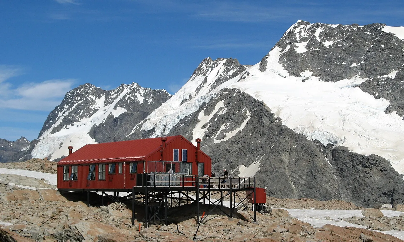
The red Mueller Hut on its rocky ridge below snow-covered peaks

Photos: Pavel Špindler (CC BY 3.0), Michal Klajban (CC BY-SA 4.0), Arend Veenhuizen (CC BY 3.0), Michal Klajban (CC BY-SA 4.0)

Distance
About 5.2 km each way
Time
About 4 hours up, 3 hours down
Elevation gain
About 1,000 m to the hut at about 1,800 m
Season
December to February for trampers

Why go

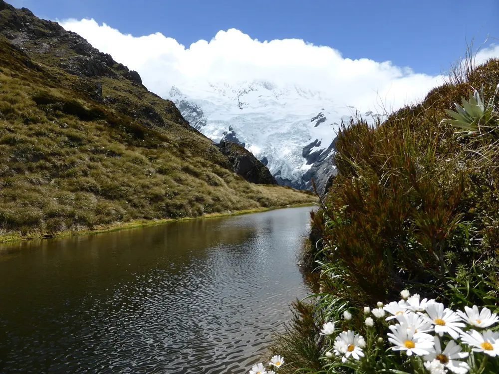
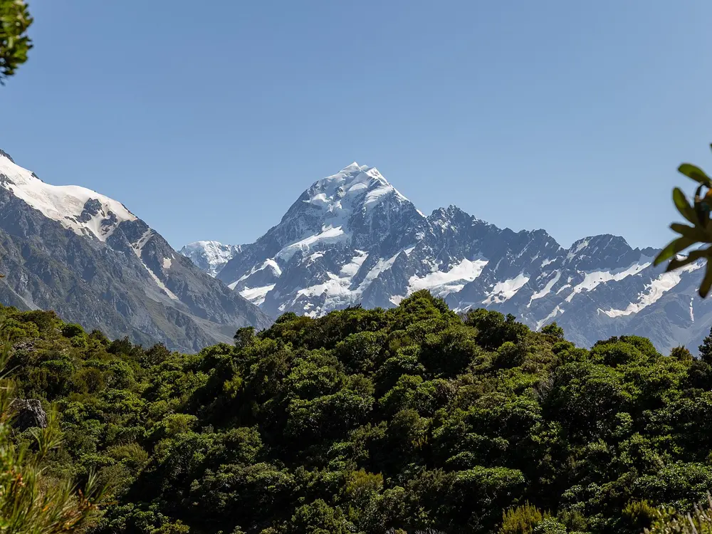
Mueller Hut sits on the Sealy Range above the Mueller Glacier, a short climb from Aoraki/Mount Cook Village that takes you straight into alpine country. DOC describes the view from the ridge as a 360 degree panorama of glaciers, ice cliffs and vertical rock faces. The present hut, the fifth of its name, was opened in July 2003 by Sir Edmund Hillary, and a night there lets you watch the light leave the peaks and come back in the morning. Kea, New Zealand's alpine parrot, often turn up to inspect your boots and pack.

The route

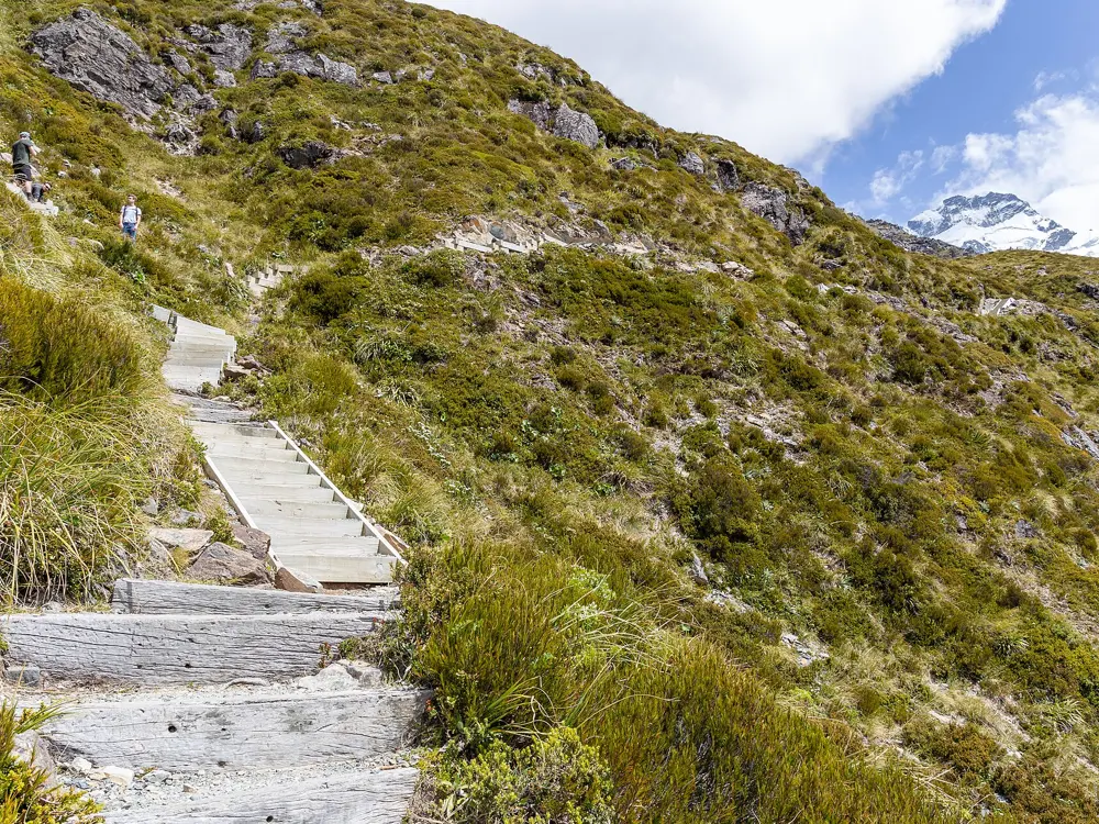
From the village or White Horse Hill car park, the Kea Point Track leads to the Sealy Tarns Track, a staircase of more than 2,200 timber steps that gains about 600 m to the tarns in about 2 hours. Above the tarns the formed track ends and the route follows orange markers set every 200 m, climbing loose scree for about 50 m to the skyline ridge, then about 20 minutes along the ridge to the hut, roughly 2 hours from the tarns. Mt Ollivier is a 30 minute rock scramble from the hut to a large cairn; DOC warns against going beyond it without experience. You return the same way, taking about 3 hours.

When to go

DOC suggests the route for people with moderate tramping experience in summer, December to February. Spring and autumn can bring winter conditions, and from June to August it needs good mountaineering skills. There can be snow and ice from March to November, and DOC notes considerable avalanche danger from April to mid November, so check the NZ Avalanche Advisory before you go.

Getting there

Aoraki/Mount Cook Village is at the end of State Highway 80, about 65 km from Twizel, the nearest town and supermarket. The route starts in the village or at White Horse Hill car park, where parking costs $2.50 per half hour or $25 per day, card only, and $50 for two days.

Permits and booking

No permit is needed to walk the route, but a night at the hut must be paid for. From 2 November 2026 to 2 May 2027 bunks must be booked online with DOC, with no spaces held for walk-ins. From 1 May to 1 November, tickets are sold first come, first served on the day at the visitor centre, which opens at 8:30 am. Adults pay $50 a night from May to September, $55 to $57 from October to April, and $60 to $62 from December to February; children pay half. Backcountry Hut Passes are not valid. Drones need a permit.

How hard it is

The steps are relentless but well built. Above the tarns it is an unformed alpine route on loose scree and an exposed ridge where markers are hard to follow in cloud, and ice is common on the lower ridge in the morning. In winter you need an ice axe, crampons and an avalanche transceiver, probe and shovel.

Where to sleep

Mueller Hut has 28 bunks on platforms with mattresses, gas cookers and solar lighting. The bunkrooms are unheated and clothes cannot be dried, and nothing is sold on the track, so carry all your food.

Tips

  • Book early for summer: the hut is the only bed on the ridge and no bunks are kept for walk-ins.
  • Join the 4:45 pm radio check-in and weather update from the hut before planning your walk out.
  • There is no gear rental in the village, so bring winter equipment with you if you go outside summer.
08 / 10

Main Range Walk

Kosciuszko National Park, New South Wales, Australia

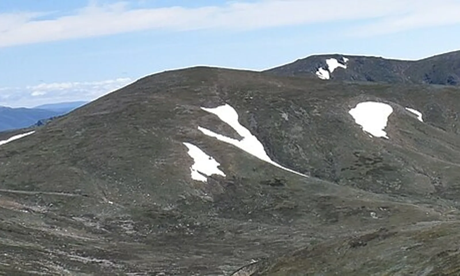
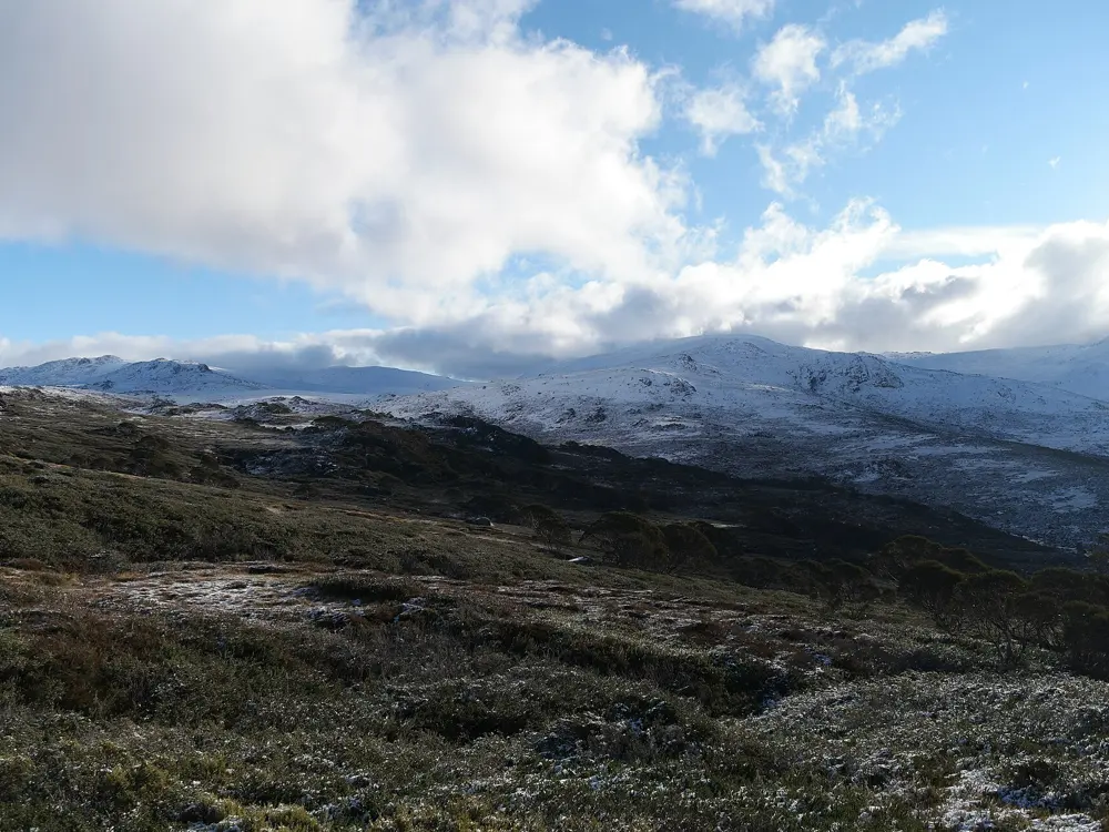
Rounded green ridges of the Main Range near Mount Kosciuszko with late snow patches

Photos: Mayank DD (CC BY-SA 4.0), Dhx1 (CC0), Toby Hudson (CC BY-SA 3.0), Dhx1 (CC0)

Distance
22 km loop
Time
7 to 9 hours
Highest point
Mount Kosciuszko, 2,228 m
Season
Snowbound June to October

Why go

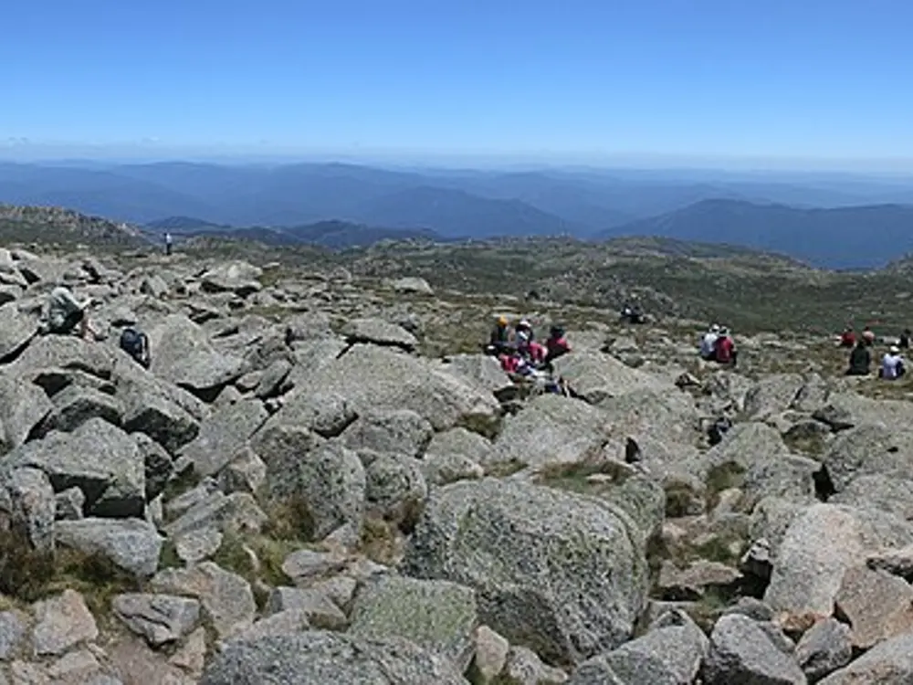
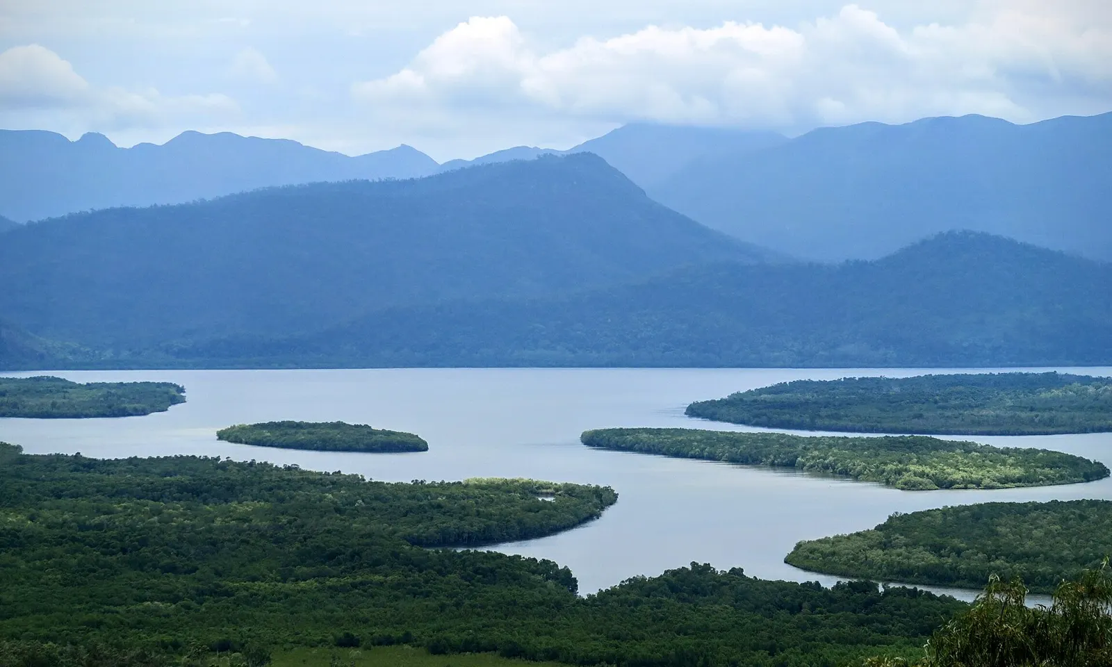
This is the long way up mainland Australia's highest mountain, and the better one. Instead of the shorter path from the top of the Thredbo chairlift, the loop from Charlotte Pass crosses the Snowy River, passes Hedley Tarn and Blue Lake, and follows the open spine of the Main Range above the treeline to the summit of Mount Kosciuszko at 2,228 m. In early summer the herbfields fill with wildflowers.

The route

From Charlotte Pass the track drops to the Snowy River, crossed on stepping stones, then climbs through alpine herbfields past Hedley Tarn to the Blue Lake lookout, about 5 km from the start. It continues along the Main Range to the summit, then descends to Rawson Pass and returns to Charlotte Pass on the Summit trail, the old road that was closed to public cars in 1977, passing Seamans Hut on the way. Steel mesh walkways protect the ground on parts of the track.
When to go

NPWS says the track is snowbound from June to October, and its brochure warns that from May to the end of October it is likely to be under snow and ice. In winter there are no snow poles on the route, so it is for skiers and snowshoers who can navigate. Summer is the walking season, with wildflowers early in it. Snow can fall at any time of year, so check the Thredbo Top Station forecast.

Getting there

Charlotte Pass is about 40 km from Jindabyne along Kosciuszko Road, past Smiggin Holes and Perisher. The road is closed to private cars between Perisher and Charlotte Pass in winter, from the June to the October long weekends, and 2WD vehicles must carry snow chains on the road to Perisher in that period. Park outside the 20 minute zone near the trackhead.

Permits and booking

No permit is needed to walk, but park entry fees apply on Kosciuszko Road: $17 per vehicle per day for most of the year and $29 in winter, bought at entry stations, visitor centres or with the Park'nPay app. Camping on the Main Range needs no booking, but it is banned in the catchments of Blue Lake, Club Lake, Lake Albina, Lake Cootapatamba and Hedley Tarn, within 30 m of water, and within 200 m of Charlotte Pass, the summit, Rawson Pass and the Snowy River crossing. Keep groups under eight, and use a stove, as fires are banned above the treeline outside hut fireplaces.

How hard it is

Grade 4: very steep in places with many steps and some obstacles, though clearly signposted. The challenge is the length and the weather, which can turn to low visibility, extreme wind and snow without warning. NPWS does not recommend the walk if the Snowy River stepping stones are covered.

Where to sleep

Charlotte Pass and Jindabyne have accommodation. Experienced walkers can split the loop over two or more days by camping in the backcountry, following the rules above. Seamans Hut is a shelter, not a place to plan to sleep.

Tips

  • Fill in an NPWS trip intention form and hire a free personal locator beacon in Jindabyne or Perisher.
  • Carry all your water and a bag for toilet waste: the Seamans Hut toilet has been closed since September 2026 awaiting repairs.
  • Walk the loop anticlockwise so the last stretch is downhill on the Summit trail.
09 / 10

Thorsborne Trail

Hinchinbrook Island National Park, Queensland

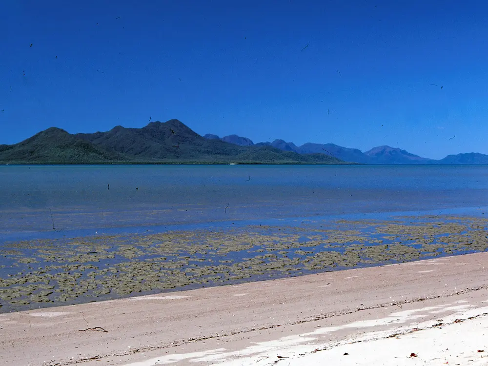
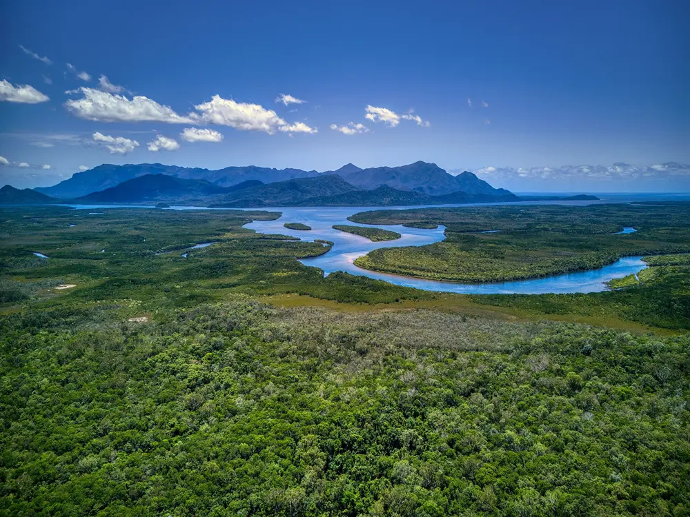
The mountains of Hinchinbrook Island rising above the mangrove channel

Photos: Felix Dance (CC BY 2.0), John Robert McPherson (CC BY-SA 4.0), Pattercakes at en.wikipedia (Public domain), Hagai Agmon-Snir حچاي اچمون-سنير חגי אגמון-שניר (CC BY-SA 4.0)

Distance
32 km one way, Ramsay Bay to George Point
Time
Usually 4 days and 3 nights
Daily limit
12 independent hikers may start each day
Season
1 March to 31 December, closed January and February

Why go

Hinchinbrook Island, Munamudanamy to its Bandjin and Girramay Traditional Owners, lies inside the Great Barrier Reef World Heritage Area. The Thorsborne Trail, named after the naturalists Margaret and Arthur Thorsborne, runs down its east coast with no roads or shops, and the daily cap keeps the beaches and creeks close to empty.

The route

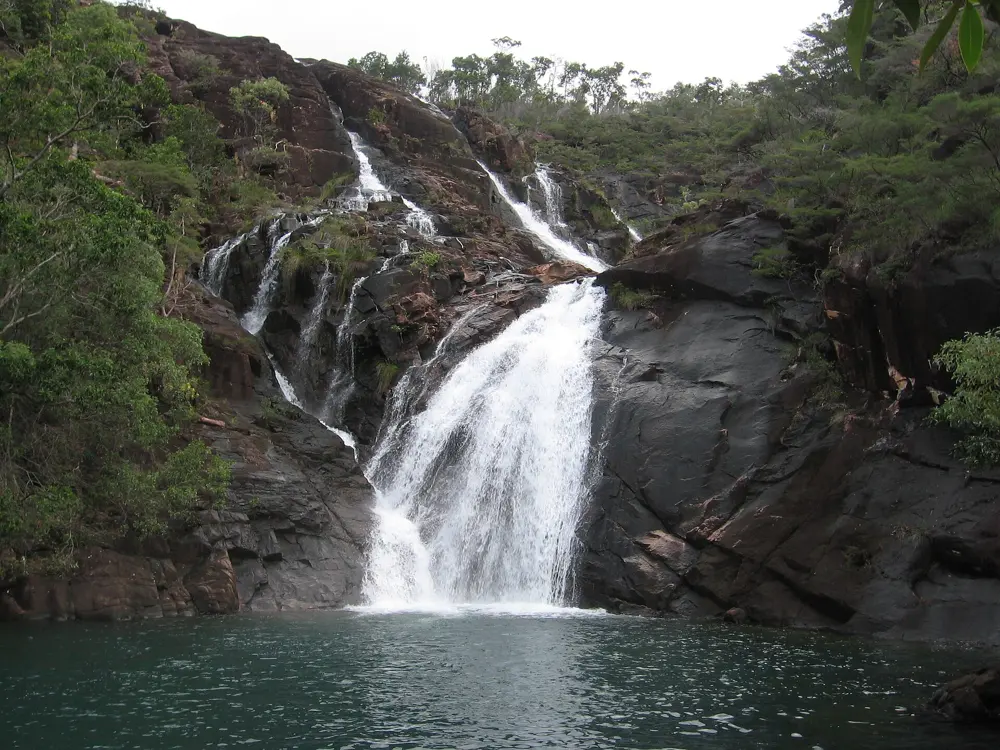
Most walkers go north to south. A boat drops you at the Ramsay Bay boardwalk, and the trail follows bays and headlands through rainforest, mangrove and woodland, past Little Ramsay Bay and Zoe Bay, where Zoe Falls is a short walk inland. It then crosses to Mulligan Falls and ends at George Point, near Lucinda. You may stay no more than two nights at each of the seven camping areas, one at Mulligan Falls.

When to go

The trail is closed from 1 January to 28 February, when heat, rain and flooding creeks make it unsafe. QPWS warns that water sources often dry up from October to December and advises thinking hard before a summer walk. April to September is the best window, and permits for May to September sell out within an hour of release.

Getting there

Cardwell and Lucinda are about two hours' drive from Townsville or Cairns. Two licensed boat operators take hikers to Ramsay Bay and collect them from George Point, the only places they may stop, on schedules set by tide and season. Book transfers as soon as your permit is confirmed.

Permits and booking

Every hiker needs a QPWS permit, with each camping area pre-booked. The cap is now 12 self-sufficient independent hikers starting each day, replacing the old limit of 40 on the trail at once. Permits were free for 2026. The 2027 season opens for booking on 15 December 2026 at 10am Queensland time; from 2027 you must cancel more than 14 days ahead for a refund. Groups need QPWS approval by email. World Expeditions runs guided walks outside the cap, May to October.

How hard it is

The track is not formally graded and is rough in places, with creek crossings that need great care, especially at Zoe and Diamantina creeks. Estuarine crocodiles live in the creeks, lagoons and along the coast, so cross tidal creeks at low tide, camp well back from the water and leave no food scraps. Mulligan Falls is a restricted access area where people have died on the slippery rock.

Where to sleep

Only the seven designated camping areas, in your own tent. Hikers report drop toilets and rat-proof food boxes at most. Works at Nina Bay run from 23 October to 1 November 2026, with helicopter noise and some camp nodes closed.

Tips

  • Carry containers for 4 litres of water per person per day and treat everything you collect, as creeks can be dry late in the year.
  • Have backup dates ready on release day, and carry a personal locator beacon, since mobile coverage is unreliable.
10 / 10

Cape to Cape Track

Leeuwin-Naturaliste National Park, Western Australia

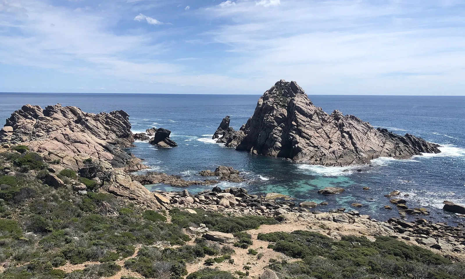
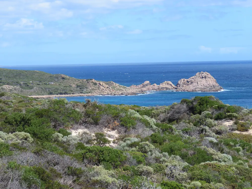
Sugarloaf Rock off the granite coast of Leeuwin-Naturaliste National Park

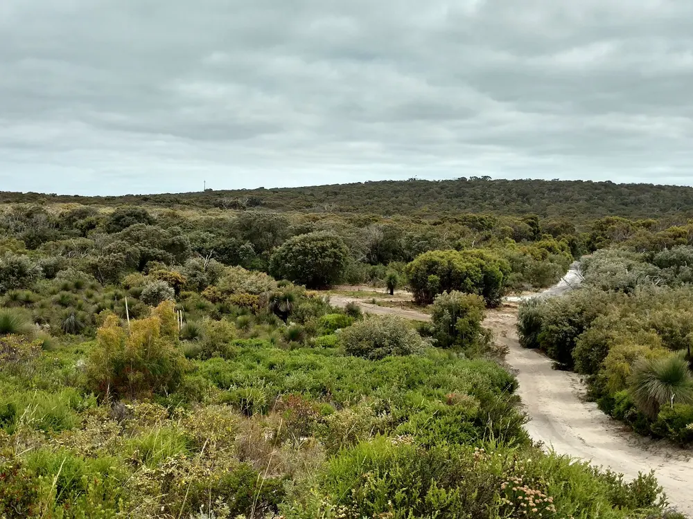
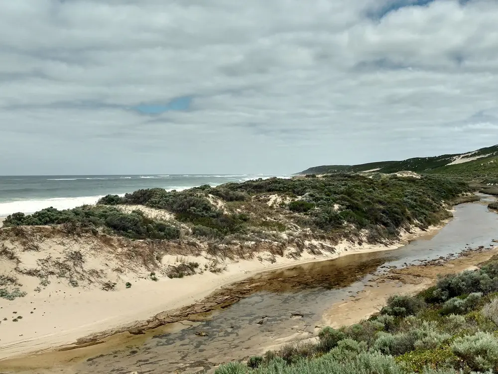
Photos: Kwokka3 (CC BY-SA 4.0), Lasthib (CC BY-SA 4.0), Lasthib (CC BY-SA 4.0), Calistemon (CC BY-SA 4.0)

Distance
About 123 to 130 km one way
Time
6 to 7 days end to end
Grade
Class 4, difficult in places
Best season
March to May and September to November

Why go

The track joins two lighthouses, Cape Naturaliste near Dunsborough and Cape Leeuwin at Augusta, along the limestone ridge of the far south west, on Wardandi country. It mixes sea cliffs, long beaches, heath and the karri trees of Boranup. Pieced together by local walkers from the 1980s and opened in 2001, it is free, and towns along the way mean you carry less.

The route

Most people walk north to south, since the north is easier with shorter gaps between places to stay. The path passes Yallingup, Gracetown, Prevelly and Hamelin Bay, on surfaces from sealed path to rock hopping and long stretches of soft sand. Many people walk it in day sections instead.

When to go

Parks and Wildlife recommends the cooler months, March to May and September to November. Summer is hot and dry, with more bushfires and a higher risk of heat stroke. In winter and spring the track takes an inland diversion around the Margaret River mouth between Kilcarnup and Wallcliffe Road, and storms can wash out beaches.

Getting there

Cape Naturaliste is 13 km from Dunsborough, about three hours' drive from Perth. There is no public transport to the track, but Transwa's SW1 coach runs from East Perth via Dunsborough and Margaret River to Augusta, and local transfer services serve the access points. Margaret River town is about 9 km inland from Prevelly, where the track passes the river mouth, a good place to resupply.

Permits and booking

No permit, booking or track fee is needed, and the national park is free to enter. The formal campgrounds at Point Road, Jarrahdene, Conto and Boranup must be booked through Park Stay and charge a nightly fee, and Point Road bookings open up to 180 days ahead. Dogs, bikes and horses are not allowed.

How hard it is

Trails WA rates it Class 4, needing navigation skills, first aid and good fitness, though some sections are moderate. Sand is the main effort. Stay back from the unstable limestone cliffs, take care at water crossings, and watch for snakes in warm weather.

Where to sleep

Four walker only track campsites, at Mount Duckworth, Moses Rock, Ellensbrook and Deepdene, are free and have tent areas, a drop toilet, a water tank and a picnic table, but no shelter. Campfires are banned anywhere on the track, so bring a stove. The towns along the route have private campgrounds and other places to stay, and you may only camp at designated sites.

Tips

  • Tank water is not guaranteed and must be treated; plan on 1 litre per hour of walking and refill in the towns.
  • Check Park Alerts for diversions before you start, and arrange your pickup from Cape Leeuwin in advance.

Sources

Distances, heights, seasons and permit rules were checked against these pages. Rules change, so check the park or trail authority before you go.