Rungs Labs

Rungs Pilgrimage · Hikes · South America

The 10 Best Hikes in South America

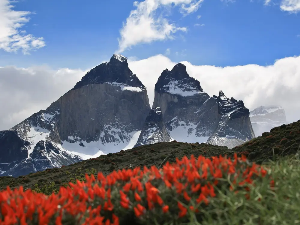
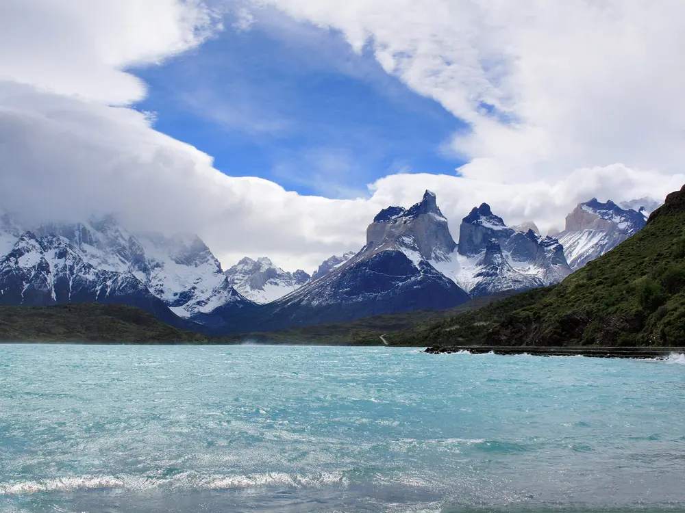
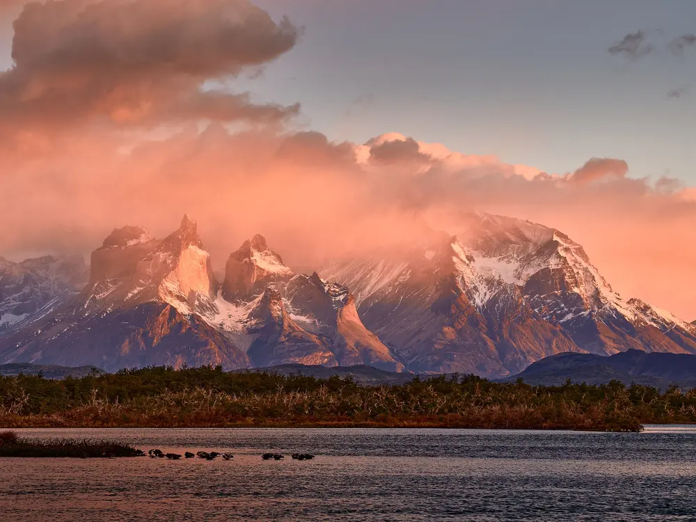
The W Trek, Torres del Paine National Park, Chile. Photo: RobertTarantino (CC BY-SA 4.0)

These ten walks run the length of the continent. In Patagonia they circle the granite towers of Torres del Paine, climb to the foot of Fitz Roy, link the mountain huts above Bariloche and cross the wild passes of Navarino Island. In the Andes they follow the Inca road to Machu Picchu, loop the ice peaks of the Cordillera Huayhuash and wander between villages to the Quilotoa crater. Further north and east they reach the Lost City in the Colombian jungle, the sandstone valley of the Vale do Pati and the granite ridges of the Serra dos Órgãos near Rio de Janeiro.

Several need planning. The Inca Trail and Ciudad Perdida can only be walked with licensed operators, Torres del Paine and the Serra dos Órgãos require bookings for every night, and some routes close for part of the year. For each hike you get the distance, the route, the best season, how to get there, the permits and where to sleep. Every fact comes from the park agencies, tourism bodies and route guides linked at the bottom of the page.

Updated 2026-10-19

  1. 01The W TrekTorres del Paine National Park, Chile
  2. 02The Inca TrailCusco Region, Peru
  3. 03Laguna de los TresLos Glaciares National Park, El Chaltén, Argentina
  4. 04The Huayhuash CircuitCordillera Huayhuash, Peru
  5. 05The Nahuel Huapi TraverseNahuel Huapi National Park, Bariloche, Argentina
  6. 06The Dientes de Navarino CircuitNavarino Island, Magallanes, Chile
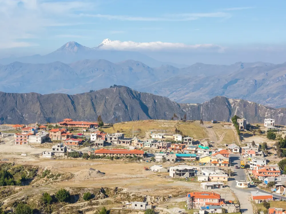
  7. 07The Quilotoa LoopCotopaxi Province, Ecuador
  8. 08Ciudad Perdida (Teyuna)Sierra Nevada de Santa Marta, Colombia
  9. 09Vale do PatiChapada Diamantina National Park, Bahia, Brazil
  10. 10The Petrópolis to Teresópolis TraverseSerra dos Órgãos National Park, Rio de Janeiro State, Brazil
01 / 10

The W Trek

Torres del Paine National Park, Chile
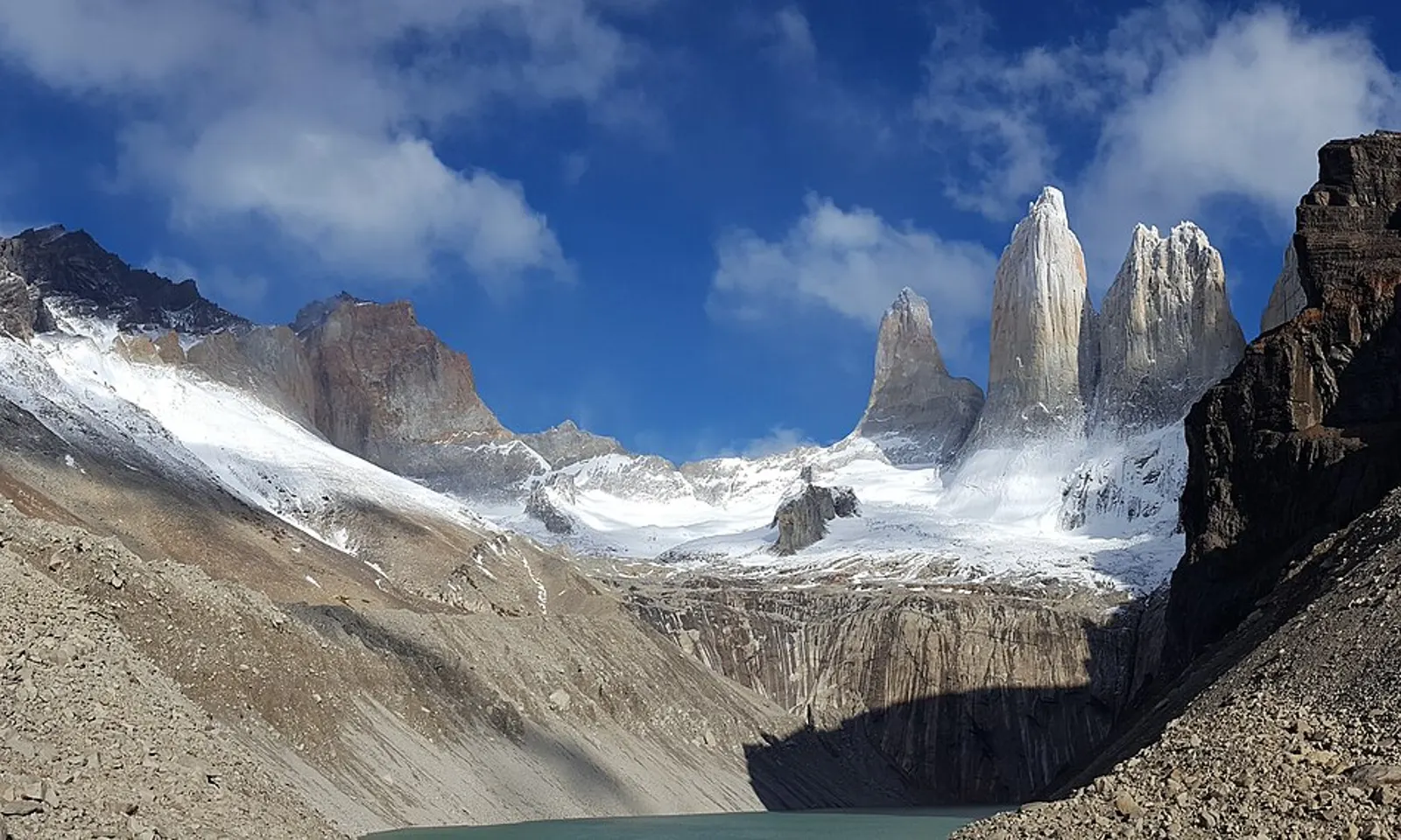
The three granite towers of Torres del Paine above the glacial lake at the Base de las Torres

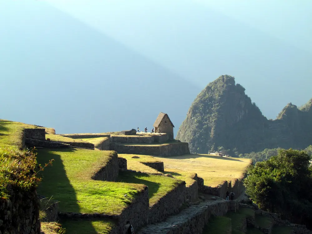
Photos: RobertTarantino (CC BY-SA 4.0), Diego Delso (CC BY-SA 3.0), Diego Delso (CC BY-SA 3.0), Pedro Szekely from Los Angeles, USA (CC BY-SA 2.0)

Distance
72 to 80 km one way
Time
4 to 6 days
Highest point
About 870 m
Season
September to April

Why go

The W takes you into three valleys of the Paine massif in under a week, and each one ends at something different: Grey Glacier and its iceberg-strewn lake, the hanging glaciers of the Francés Valley, and the granite towers that give the park its name. Those towers rise to about 2,500 m above a milky green tarn. The weather can cycle through four seasons in a day, and that restlessness is part of the appeal.

The route

The trail can be walked from either end, between Paine Grande in the west and Hotel Las Torres in the east, and the catamaran from Pudeto across Lago Pehoé links the western end to the road. Heading east from Paine Grande, the first leg is a there-and-back walk to Refugio Grey and the ice of Lago Grey. Next comes Campamento Italiano, from where a detour climbs the Francés Valley to the Mirador Británico beneath the Cuernos del Paine. The path then follows Lago Nordenskjöld past Refugio Los Cuernos to Las Torres, and the last day climbs the Ascencio Valley past Refugio Chileno to the towers, with a steep, rocky final kilometre.

When to go

September to April is the usual window, with long summer days, though November to January is also the windiest stretch. Public buses from Puerto Natales run a full timetable from October to March, drop to one a day in April and September, and stop from May to August.

Getting there

Most walkers base themselves in Puerto Natales, 112 km south of the park. Daily buses take about two hours, stopping at Laguna Amarga, where a shuttle runs to Hotel Las Torres, and continuing to Pudeto for the catamaran to Paine Grande.

Permits and booking

Every overnight stay, refugio or campsite, must be booked before you enter the park, and rangers check reservations along the way. Since 1 May 2026 park entry is also sold only online in advance through pasesparques.cl: CLP 25,000 for one day or CLP 50,000 for two or more days, up to ten, for foreign adults, with no date changes and no refunds unless CONAF closes the park.

How hard it is

Paths are well marked but stages run up to about 22 km, and the towers day ends with a steep scramble over loose rock. Altitude is no concern, but the wind is strong and exposed, so steady fitness and sure footing matter more than speed.

Where to sleep

Refugios at Paine Grande, Grey, Los Cuernos and Las Torres offer dorms, meals and campsites, while CONAF runs basic free campsites such as Italiano. Chileno stopped offering dorm beds in 2024 and now has camping and glamping tents only.

Tips

  • Pack waterproof layers and a warm sleeping bag, since nights are cold even in summer.
  • Keep every booking confirmation to hand, because rangers ask for them.
  • Purify drinking water and collect it upstream of campsites.
02 / 10

The Inca Trail

Cusco Region, Peru

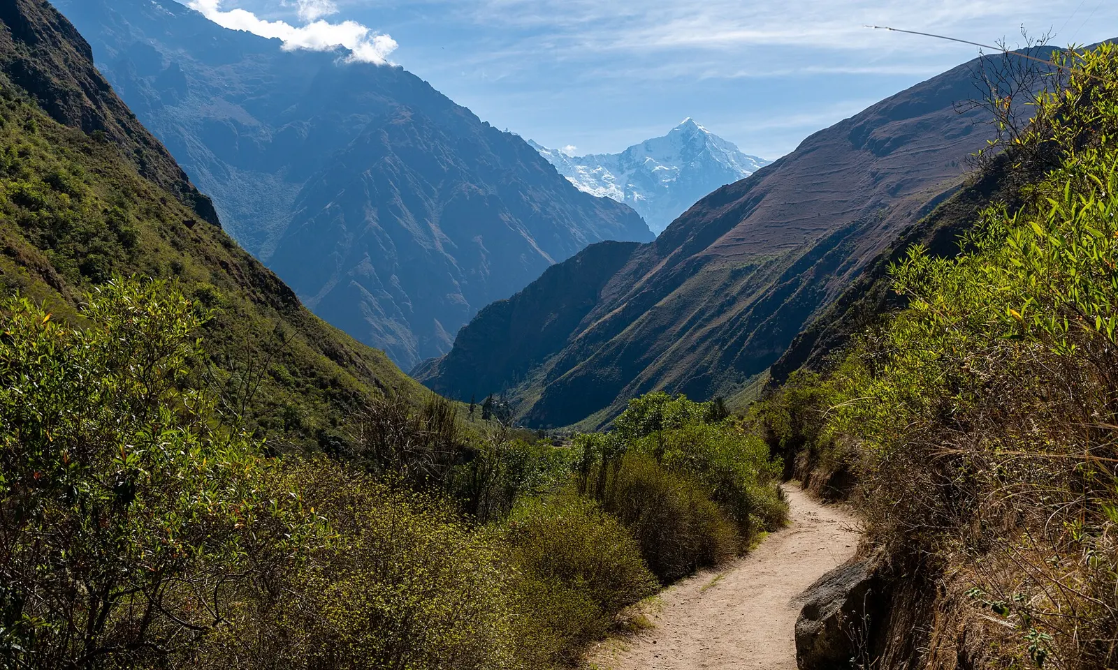
The Inca Trail running along a green Andean valley toward a snow peak

Photos: Christoph Strässler (CC BY-SA 2.0), bobistraveling (CC BY 2.0), Christoph Strässler (CC BY-SA 2.0), Christoph Strässler (CC BY-SA 2.0)

Distance
42 to 45 km one way
Time
4 days
Highest point
About 4,215 m
Season
May to September, closed in February

Why go

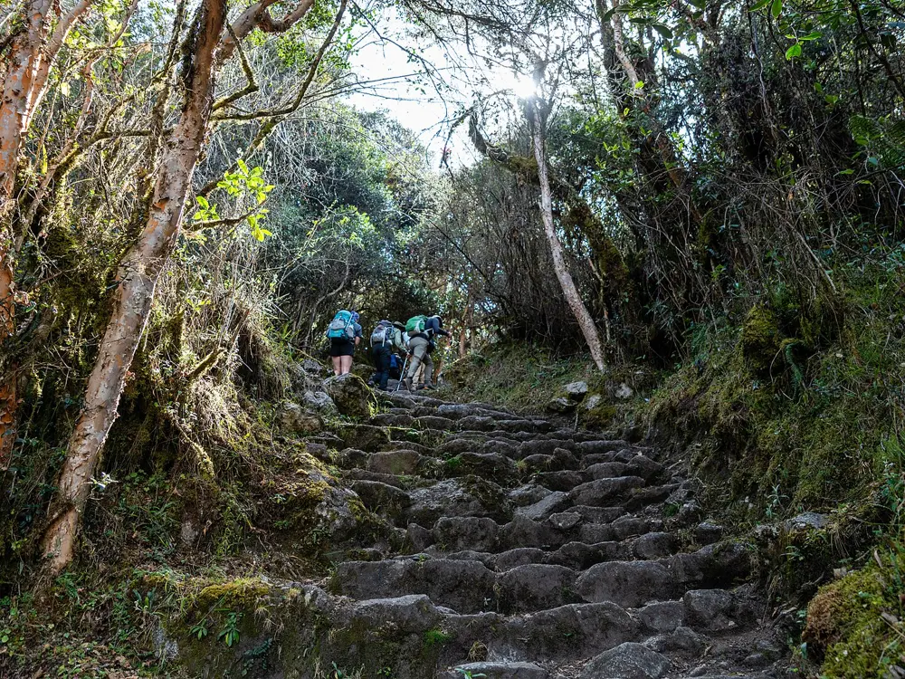
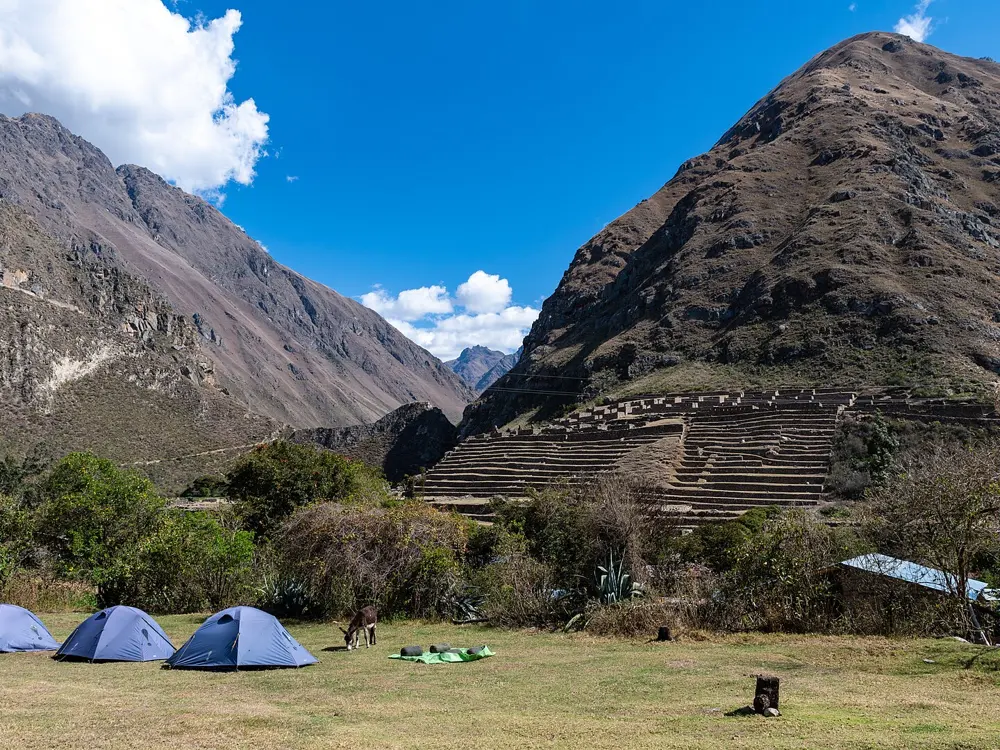
This is the stone road the Incas built to Machu Picchu, and it ends at the Inti Punku, the Sun Gate, with the ruins spread out below. Over four days it climbs through high passes and past a chain of Inca sites, so you reach the citadel already knowing something of the world that built it. The trail belongs to the Qhapaq Ñan, a pre-Hispanic road network of more than 30,000 km listed as a World Heritage Site.

The route

The classic trail starts at Km 82, at Piscacucho on the Urubamba River, about 2,600 m above sea level, and runs one way to Machu Picchu. The first night is usually at Wayllabamba, and the second day climbs to Warmiwañusqa, Dead Woman's Pass, the highest point of the walk, before dropping to camp at Pacaymayu. The third day crosses another high point near Phuyupatamarka on the way down to Wiñay Wayna. On the final morning walkers follow the ridge for about 3 km and climb steep steps to the Sun Gate, where the trail ends above Machu Picchu.

When to go

May to September is generally dry and sunny, while November to March is the rainy season. The trail closes every February for maintenance and cleaning: in 2026 it shut from 31 January and reopened on 1 March.

Getting there

Cusco is the base for the trek, and Km 82 lies 82 km from the city in the Urubamba valley. Tour operators arrange the transfer to the trailhead by bus, train or private vehicle, and some collect walkers from Ollantaytambo or Urubamba instead.

Permits and booking

Independent trekking is not allowed: permits are sold only through government-authorised tour operators, are tied to your passport and cannot be transferred, and every trekker must be accompanied by a licensed guide. Numbers are capped at 500 people a day on the main routes, including guides and porters, so for popular dates book six months or more ahead.

How hard it is

The trail mixes old stone paths with long, steep stone steps, and the hardest climb, on day two, reaches a pass at about 4,200 m. You need good fitness for several days of climbing and descending at altitude.

Where to sleep

Walkers sleep in tents at designated campsites such as Wayllabamba, Pacaymayu and Wiñay Wayna, and space at Wiñay Wayna is allocated by the government rather than guaranteed.

Tips

  • Bring the original passport you booked with, because it is checked against your permit.
  • Ask your operator about crew size and customary tips before you go, and carry soles to pay them.
03 / 10

Laguna de los Tres

Los Glaciares National Park, El Chaltén, Argentina

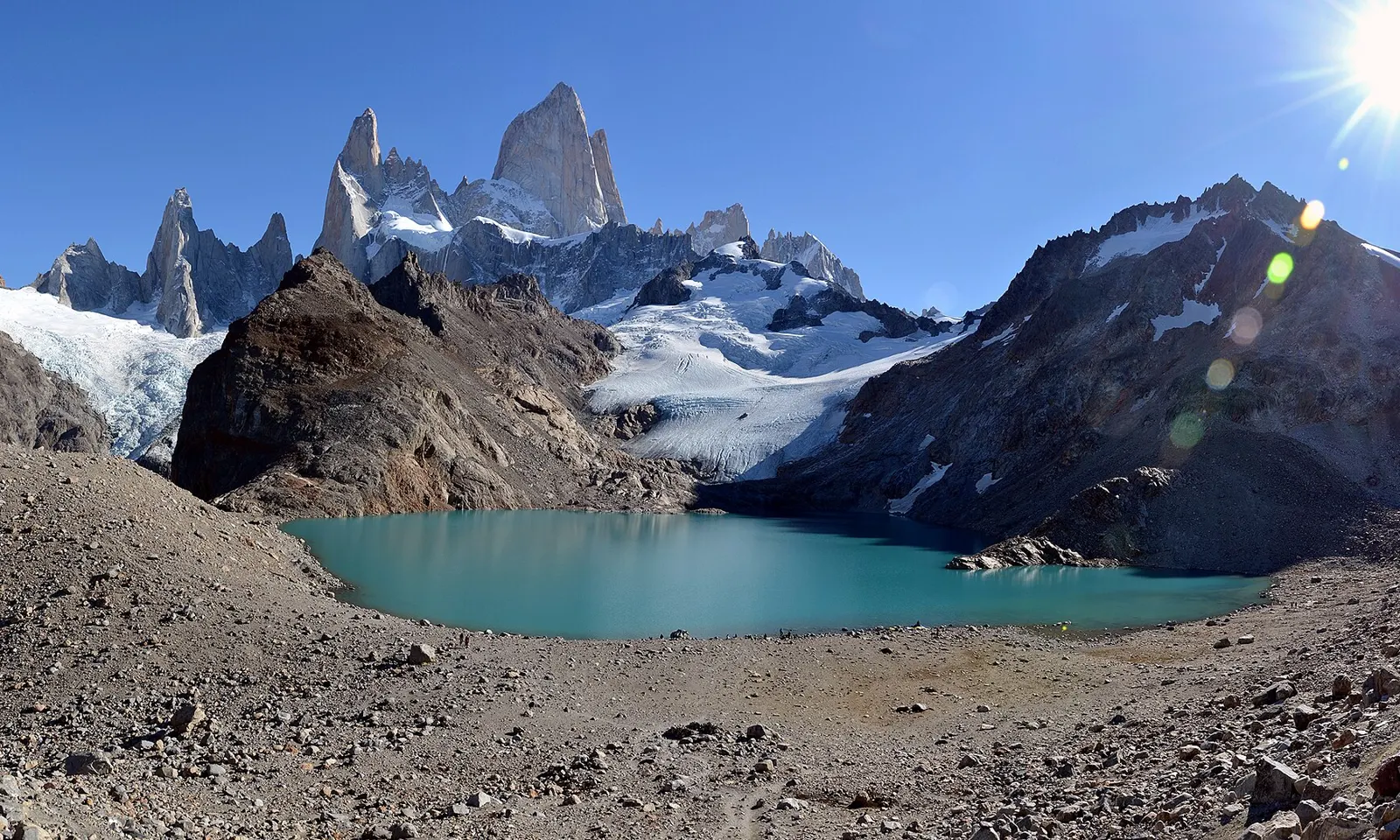
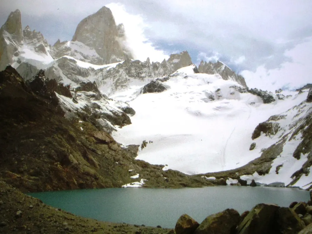
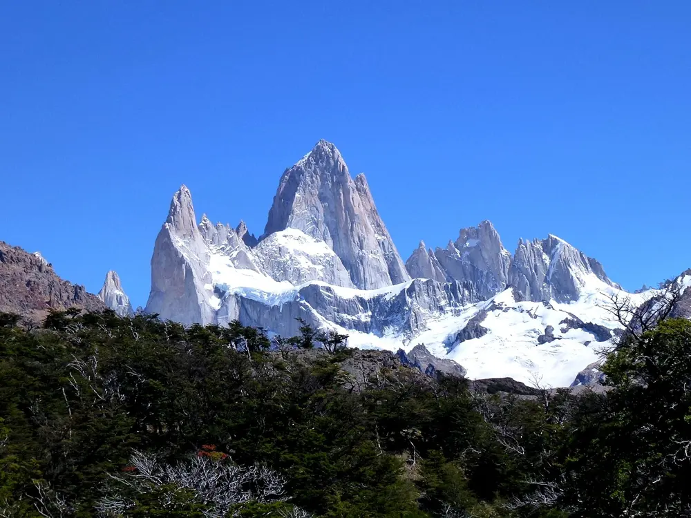
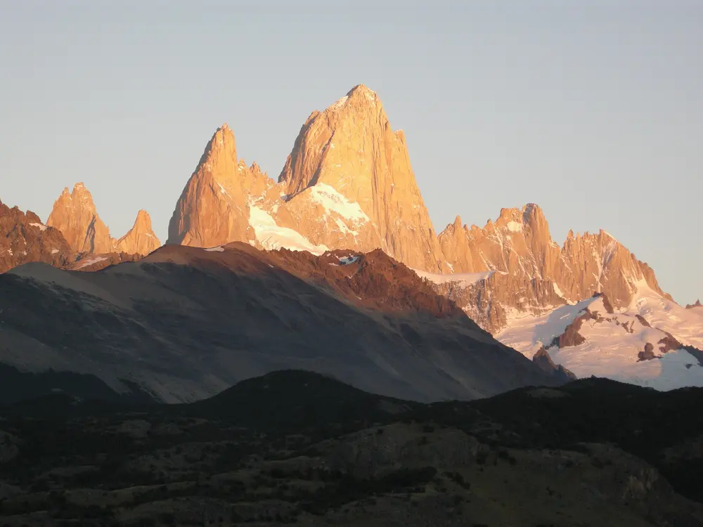
Fitz Roy and its glacier above the turquoise Laguna de los Tres

Photos: Rodrigo Menezes (Ironman br) (CC BY-SA 4.0), Виктор Пинчук (автор фото и книги) (CC BY-SA 4.0), Hiroki Ogawa (CC BY 3.0), Gagea (CC BY-SA 3.0)

Distance
About 25 km return from El Chaltén
Time
8 to 9 hours
Elevation gain
800 to 900 m
Season
October to April

Why go

This is the day walk to the foot of Fitz Roy, the granite spire at the northern end of Los Glaciares National Park. The trail leaves straight from the edge of El Chaltén, so there is no road transfer, and for most of the morning you walk through beech forest and open valleys with the mountain in view. At the end you climb a moraine to a glacial lake with the wall of Fitz Roy rising close behind it.

The route

The usual start is Portal Base Fitz Roy, at the end of Avenida San Martín. The first hour climbs to a viewpoint over the Río de las Vueltas valley, and about an hour and a half in a rocky lookout gives the first full view of Fitz Roy. A variant by Laguna Capri branches off just before it and rejoins the main path. About three hours in you reach Poincenot campsite, then cross the Río Blanco, and the final stretch climbs about 400 m over rough ground in a little over an hour to the lake. A side path from the moraine drops left to a view over Laguna Sucia. You can also start at Portal Río Eléctrico, about 14 km from town, which makes the walk about 22 km.

When to go

October to April is the best window. The trail stays open all year, but from April to October snow can lie on the last kilometre, and in autumn and spring that section can be muddy, icy and hard to follow.

Getting there

El Chaltén is reached by road from El Calafate, the nearest town with an airport. Several companies run buses from the El Calafate terminal, taking about three hours, and seats sell out from December to February.

Permits and booking

Since October 2024 the El Chaltén side of the park charges entry. Buy the pass online at ventaweb.apn.gob.ar before you set off and carry your ID or passport. From 1 June 2026 it costs AR$ 50,000 for foreign visitors and AR$ 25,000 for Argentine residents. From May to September you must also register at the visitor centre before walking.

How hard it is

The first 10 km are moderate, on a well-marked path. The last 2 km are steep, loose and rocky, and the wind can be fierce even on a clear day.

Where to sleep

El Chaltén has the hostels, hotels and campsites, and most walkers do the hike as a long day from town. Poincenot and Laguna Capri are the park campsites on the route. They are no longer free and must be booked online, they have one latrine each and no electricity, and all rubbish has to be carried back to the village.

Tips

  • Fires are banned everywhere in the park, so bring a gas stove if you camp.
  • Carry at least 1.5 litres of water and a head torch, since the descent often runs late.
04 / 10

The Huayhuash Circuit

Cordillera Huayhuash, Peru

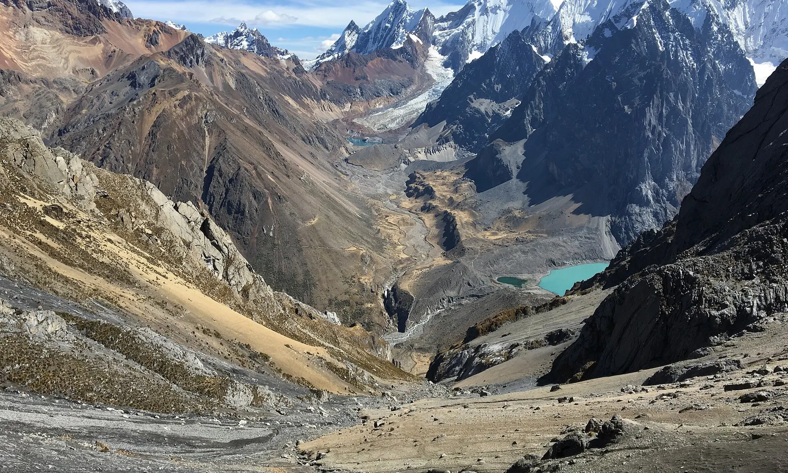
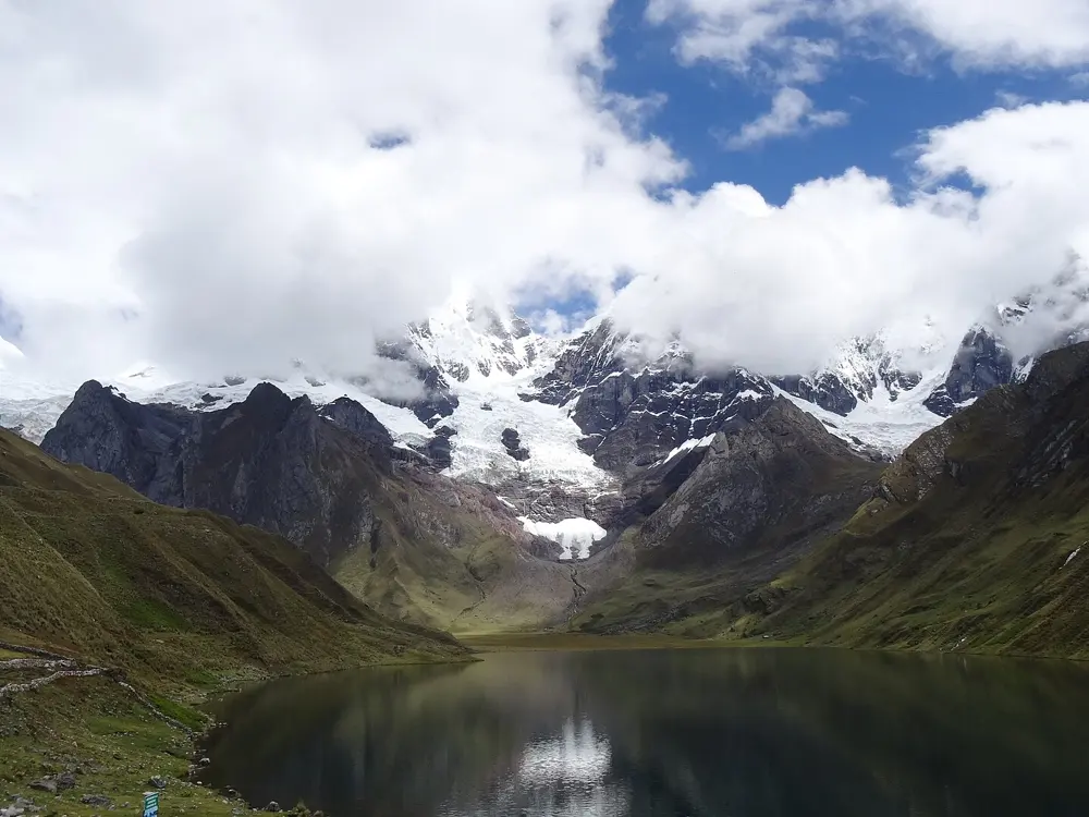
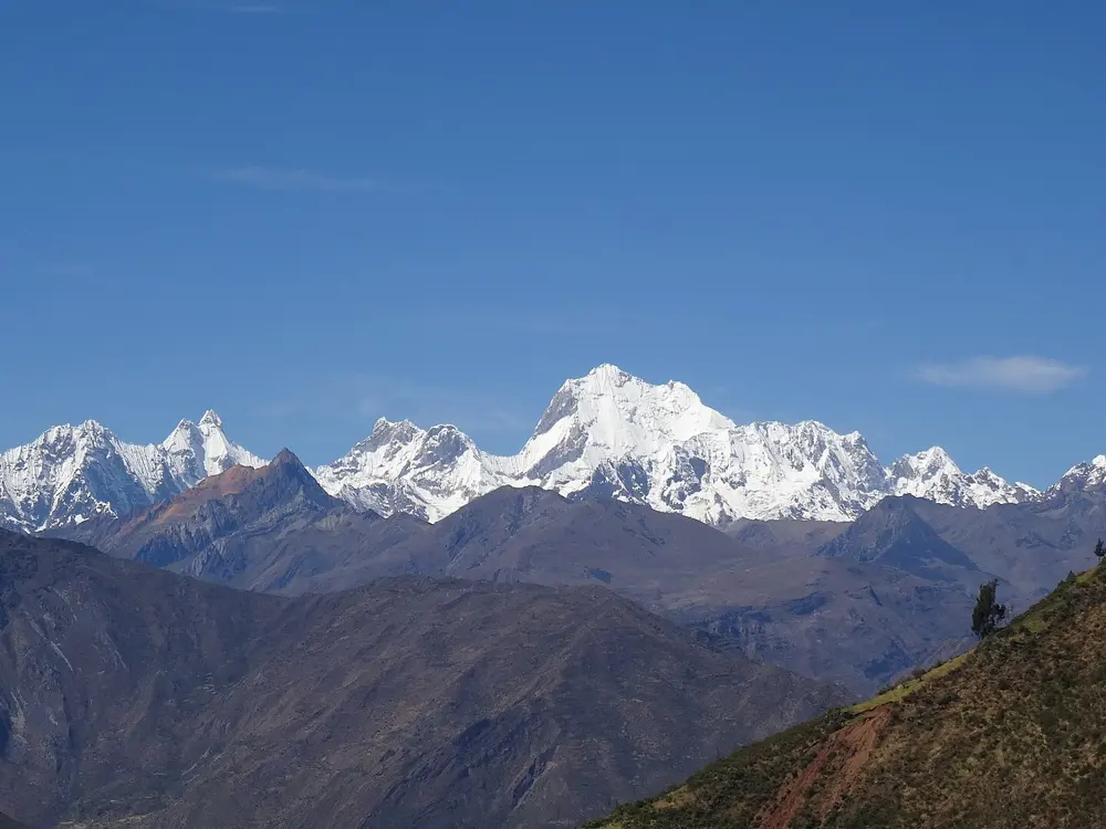
Ice-covered peaks of the Cordillera Huayhuash above a valley with a turquoise lake

Photos: brice pollock (CC BY 2.0), Gato Expedicionario 1883 (CC BY-SA 4.0), Waterloo1883 (CC BY-SA 4.0), Walter B. (CC BY-SA 3.0)

Distance
About 100 to 130 km loop
Time
8 to 12 days
Highest point
About 5,000 to 5,100 m
Season
May to September

Why go

The Cordillera Huayhuash is a compact range, only about 30 km from north to south, but it holds Yerupajá, the second highest peak in Peru, and Siula Grande, the mountain of Joe Simpson's Touching the Void. The circuit walks right around it. Almost every day crosses a pass above 4,600 m and drops to a camp beside a lake under ice walls. Since 2002 the range has been protected as a reserved zone, and the villages along the way run the campsites and collect the fees.

The route

The trek officially starts and ends at Llamac, though many groups drive on to Quartelhuain to skip the first stretch of dirt road. The classic loop runs by Mitucocha to Carhuacocha, where the camp looks straight across the lake at Yerupajá, then crosses the Siula Pass to the Huayhuash camp and continues to the hot springs at Viconga. From there it passes Huanacpatay on the way to Huayllapa, the one real village on the loop, and finishes by Laguna Jahuacocha and back to Llamac. The classic eight-day version is about 103 km, and the full circuit with extra passes is about 130 km.

When to go

Walk it in the dry season, May to September, with July and August usually the clearest. December to February is the wet season, when paths can collapse and the passes become dangerous.

Getting there

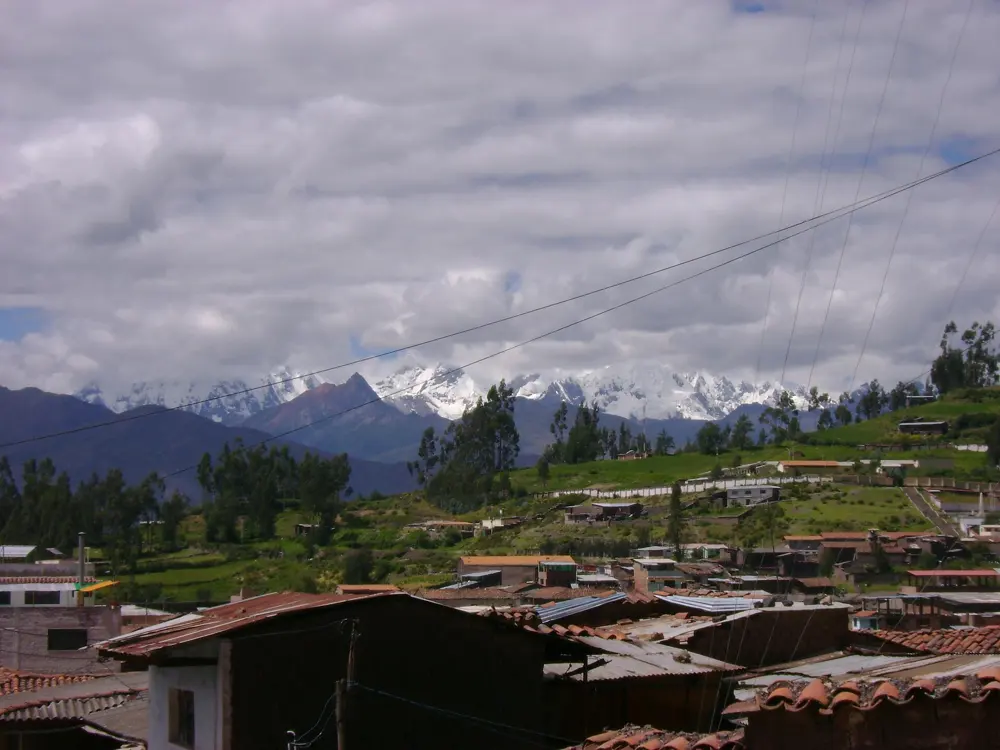
Huaraz is the base. Spend at least three days there, at about 3,000 m, to acclimatise before you start. The road transfer from Huaraz through Chiquián to the trailhead at Llamac takes about four hours.

Permits and booking

There is no single park permit. Each community on the route charges an entry or camping fee in cash at its checkpoint, and in late 2025 the total for the full loop came to about 280 to 300 soles a person. Guided trips usually include these fees. A guide is not compulsory.

How hard it is

This is a hard, remote trek. Camps sit at about 4,200 to 4,500 m, the passes go above 5,000 m, and the weather can turn quickly. Independent trekking is possible only for walkers who are strong navigators and experienced at altitude, and most people go with a guide and an arriero with pack animals.

Where to sleep

It is a camping trek. There are no huts, apart from one basic hostel in Huayllapa, which also has the only shower on the route. Guided groups bring tents and a cook tent.

Tips

  • Carry enough cash in soles for every community fee, since there are no ATMs on the trail.
  • Filter or boil all water, because stomach bugs are as common as altitude sickness here.
05 / 10

The Nahuel Huapi Traverse

Nahuel Huapi National Park, Bariloche, Argentina

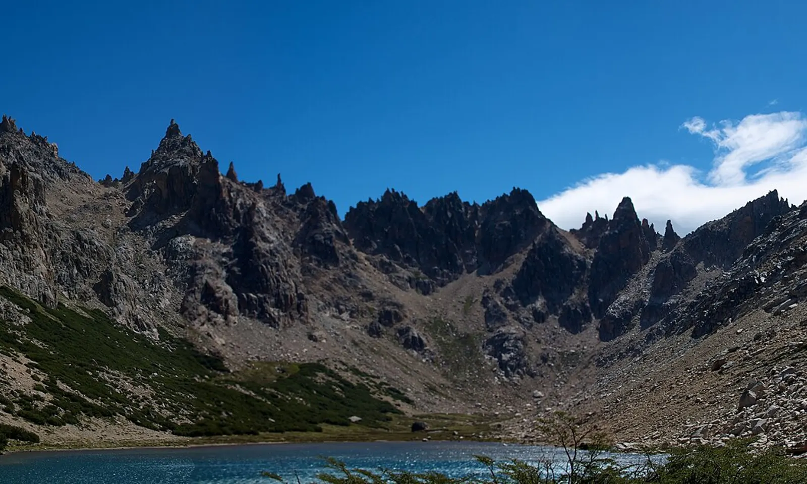
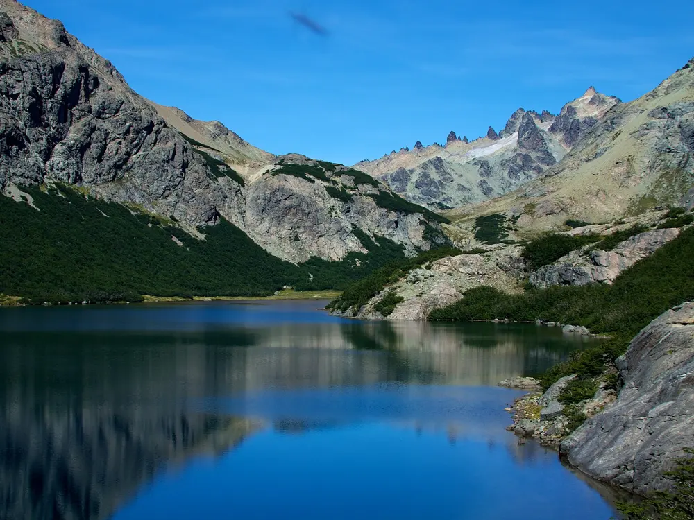
Granite spires above Laguna Tonceck by Refugio Frey

Photos: McKay Savage from London, UK (CC BY 2.0), .Luc. (CC BY 2.0), McKay Savage from London, UK (CC BY 2.0), Matumerlo (CC BY-SA 4.0)

Distance
About 39 km one way
Time
4 to 5 days
Total ascent
About 3,600 m
Season
December to April

Why go

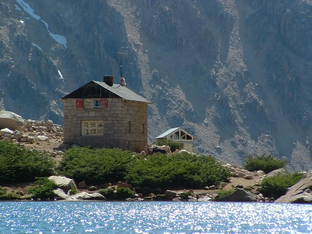
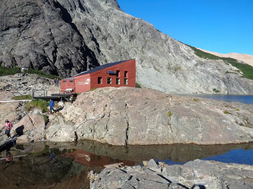
Above Bariloche, the mountains of Nahuel Huapi National Park hold a chain of staffed huts set beside high lakes, and the traverse links four of them: Frey, Jakob, Laguna Negra and López. It is a proper alpine route, with granite spires around Frey, a long day over rock and scree between Jakob and Laguna Negra, and views over lakes and forest for most of the way. Because the huts serve dinner and breakfast, you can walk it with a light pack.

The route

Day one leaves the Cerro Catedral ski area and follows the Van Titter stream to Refugio Frey, beside Laguna Tonceck under the Catedral spires, about 12 km. Day two crosses the ridge of Cerro Catedral, drops into the Rucaco valley and climbs to Refugio Jakob on Laguna Jakob, about 9 km. Day three is the crux: about 10 km and up to 10 hours of scrambling and route-finding past Cerro Navidad to Refugio Laguna Negra. Day four rounds Laguna Negra and crosses the Bailey Willis ridge to Refugio López, and a short final descent reaches the road near Colonia Suiza.

When to go

December to April is the walking season. Snow can lie on the Jakob to Laguna Negra section into February, and streams on the early stages dry up as summer goes on.

Getting there

Bariloche is the base. City bus line 55 runs to the Catedral ski area, about 18 km from the centre, and at the end buses run from the road below Refugio López back to Bariloche every few hours.

Permits and booking

Registering your trek with Nahuel Huapi National Park is compulsory, online or at the park office in Bariloche. The Jakob to Laguna Negra stage also needs a signed waiver of liability. Each hut must be booked ahead through its own website.

How hard it is

Physically hard and technical in places. The third day is not well marked, is steep, exposed and rocky, and should be tried only by experienced walkers in good weather, never in reverse. Day four has a steep descent with a fixed rope at one drop.

Where to sleep

The four huts, Frey, Jakob, Laguna Negra and López, offer bunks and meals, and there is camping beside some of them. There are no camping spots between Jakob and Laguna Negra.

Tips

  • Fill up with water at Jakob, because most of the third day has none.
  • Carry out all rubbish and do not light fires.
06 / 10

The Dientes de Navarino Circuit

Navarino Island, Magallanes, Chile

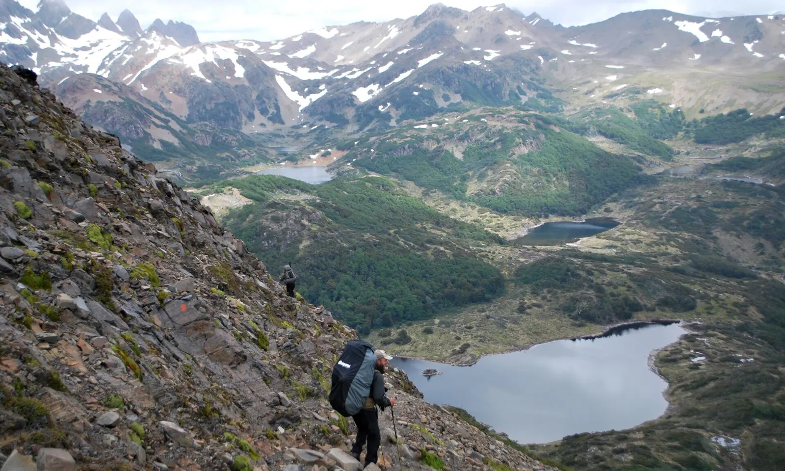
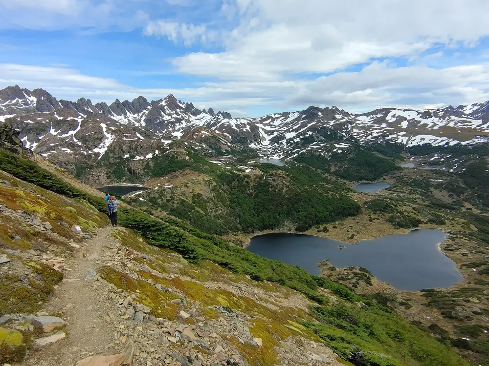
A trekker with a heavy pack above lakes and forest below the Dientes de Navarino

Photos: Gerrit Burow (CC BY-SA 3.0), Lluis Cabarrocas Ribas (CC BY 2.0), Mat Austro (CC BY 4.0), Janitoalevic (CC BY-SA 4.0)

Distance
About 40 to 45 km loop
Time
4 to 7 days
Highest point
About 850 m, Paso Virginia
Season
December to March

Why go

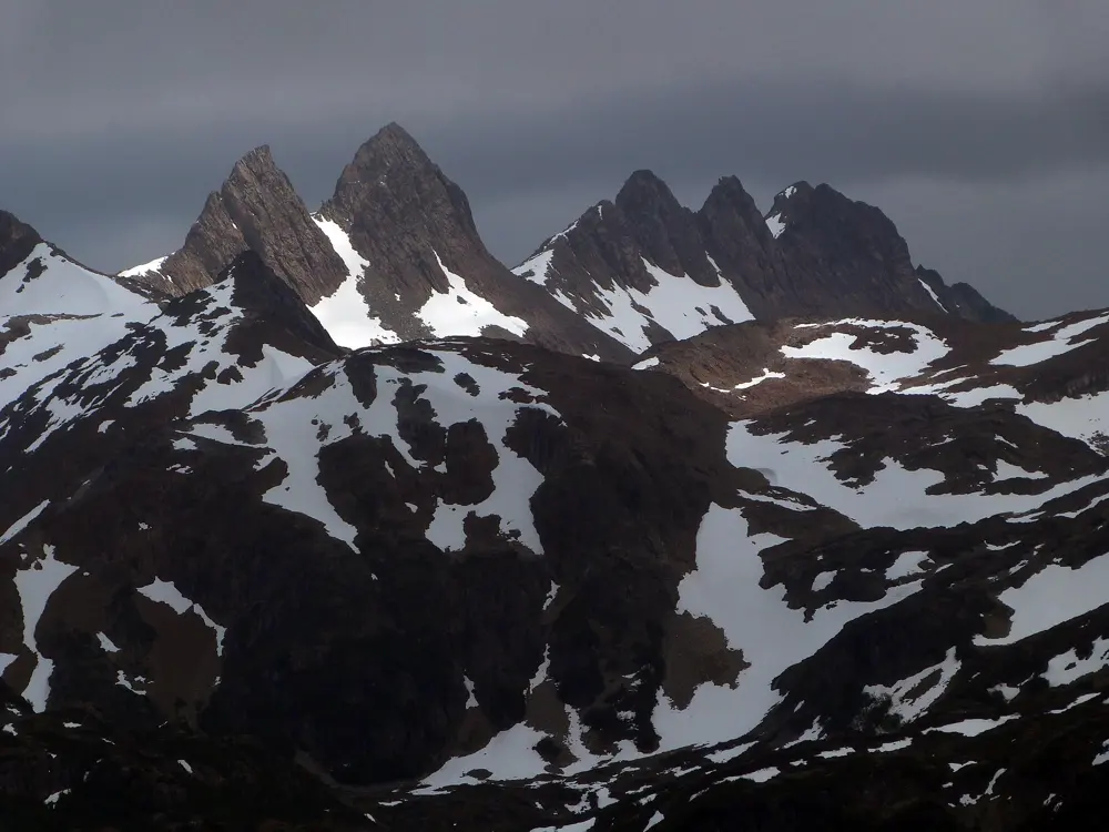
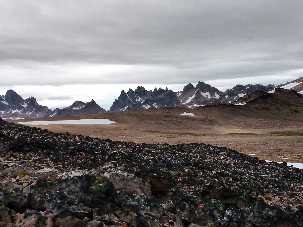
The Dientes, the Teeth, are a row of jagged peaks just south of Puerto Williams on Navarino Island, across the Beagle Channel from Tierra del Fuego, and the circuit around them is often called the southernmost trek in the world. It has no huts, few waymarks and almost no other people. You walk over open passes and across peat bog between a string of cold lakes, and the views reach over the island's lakes and forests to the Beagle Channel. The route was first set out in the 1990s by the Australian walker Clem Lindenmayer, and a peak on the circuit now carries his name.

The route

The trail climbs from Puerto Williams past Cerro Bandera, a viewpoint at about 610 m over the town and the channel, to a first camp at Laguna del Salto. The next days cross Paso Australia, at about 790 m, and Paso de los Dientes, then Paso Ventarrón and Paso de Guerrico, with camps by Laguna Escondida and Laguna Martillo. Paso Virginia, at about 850 m, is the high point, crossed on the fourth day before a camp above Laguna Los Guanacos, and the route finishes on the coast road back to town. Measured lengths range from 37 to 53 km depending on whether you count the road to the trailhead.

When to go

Roughly December to March. Even in February walkers meet snow and storms, and rain and strong wind are likely at any time.

Getting there

Aerovías DAP flies to Puerto Williams from Punta Arenas, the quickest way in. A ferry from Ushuaia with Los Cauquenes includes a bus transfer on Navarino, and the Transbordadora Austral Broom ferry from Punta Arenas takes about 30 to 32 hours.

Permits and booking

No permit is needed, but you must register with the Carabineros, the police, in Puerto Williams before you start and again when you return. Registration is free and is the only record that you are on the route, so bring your passport and your itinerary.

How hard it is

No climbing is involved, but route-finding is the challenge. Much of the route is faint or unmarked, the passes have loose ground, the peat is boggy and the weather is harsh. Phone signal ends at Puerto Williams, so carry a downloaded GPX track.

Where to sleep

Wild camping only. There are no huts, shelters or resupply points, so carry all food and fuel. Gas canisters can be bought in Puerto Williams.

Tips

  • Expect wet detours around beaver dams: beavers brought to the island in 1946 have flooded forest and peat across it.
  • Allow one or two spare days in case storms close the passes.
07 / 10

The Quilotoa Loop

Cotopaxi Province, Ecuador

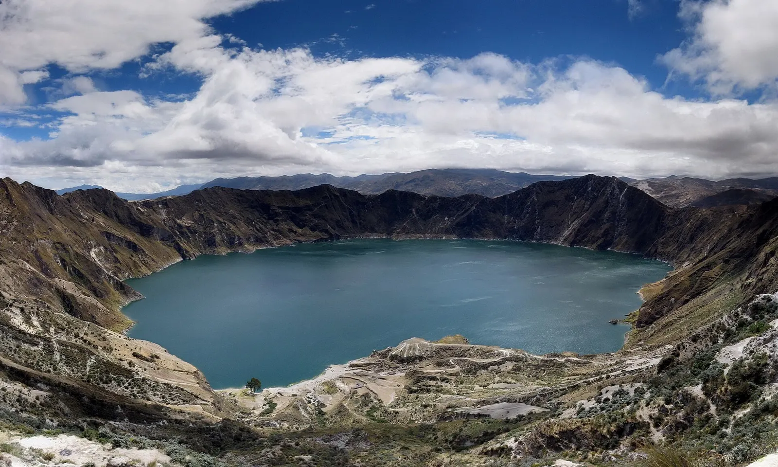
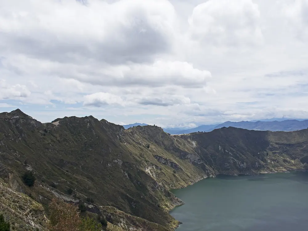
The Quilotoa crater lake inside its caldera under a blue sky

Photos: Annom (Public domain), amalavida.tv from Ecuador (CC BY-SA 2.0), Alexandre Patrier (CC BY 3.0), Ymblanter (CC BY-SA 4.0)

Distance
About 35 to 40 km one way
Time
3 to 5 days
Highest point
About 3,900 m, the Quilotoa crater rim
Season
June to September

Why go

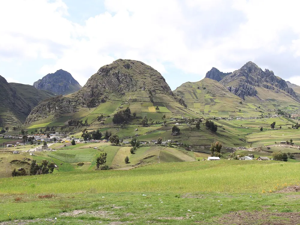
The Quilotoa Loop is a village-to-village walk through the farmed highlands of central Ecuador, and it ends on the rim of the Quilotoa caldera, about 3 km wide, holding a green lake about 250 m deep. Along the way you drop into deep valleys, cross patchwork fields on steep hillsides and spend each night in a small Andean village, where you can sleep and eat in local guesthouses. You carry only a daypack and still get the sense of a long journey through the mountains.

The route

Despite the name, the usual route is point to point. The first day runs from Sigchos to Isinliví, about 14 km, the second from Isinliví to Chugchilán, about 12 km, and the third climbs from Chugchilán to the crater rim at Quilotoa, about 14 km and the hardest day. Each stage takes 4 to 9 hours depending on pace and weather. Some walkers start in Isinliví to save a day, and some walk the route in reverse from the crater. At Quilotoa a path drops to the lake in about half an hour, and the climb back up gains about 280 m and takes 1 to 2 hours.

When to go

June to September is the best time, when the weather is drier and clearer. December to February is possible but colder and wetter.

Getting there

From Quito, take the Metro south to Quitumbe and a bus from the terminal there to Latacunga, about 1.5 hours. Buses from Latacunga to Sigchos leave about every hour and take about 2 hours. Spending a night in Latacunga makes an early start easier.

Permits and booking

No permit is needed to walk the route and no guide is required. Visitors pay US$2 each to enter at Quilotoa village.

How hard it is

The paths are on farm tracks and steep earth trails, with long climbs out of the valleys, and the route stays high, finishing at a rim close to 3,900 m. It is easy to lose the way, so carry a map or a GPS app, and walkers without experience may want a local guide. Give yourself time to acclimatise before you start.

Where to sleep

Every village on the route has guesthouses, and some will pack food for the trail, so you need no tent, stove or sleeping bag. Camping is allowed beside the lake at the bottom of the crater, but drinking water there is limited to bottles sold at the hostel.

Tips

  • Bring enough cash for the whole walk, since there are no ATMs on the route.
  • Take trekking poles for the steep, sandy descents.
08 / 10

Ciudad Perdida (Teyuna)

Sierra Nevada de Santa Marta, Colombia

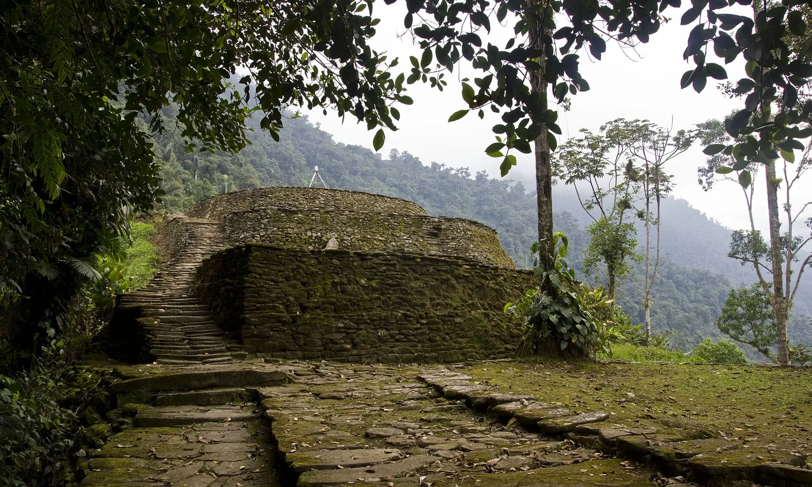
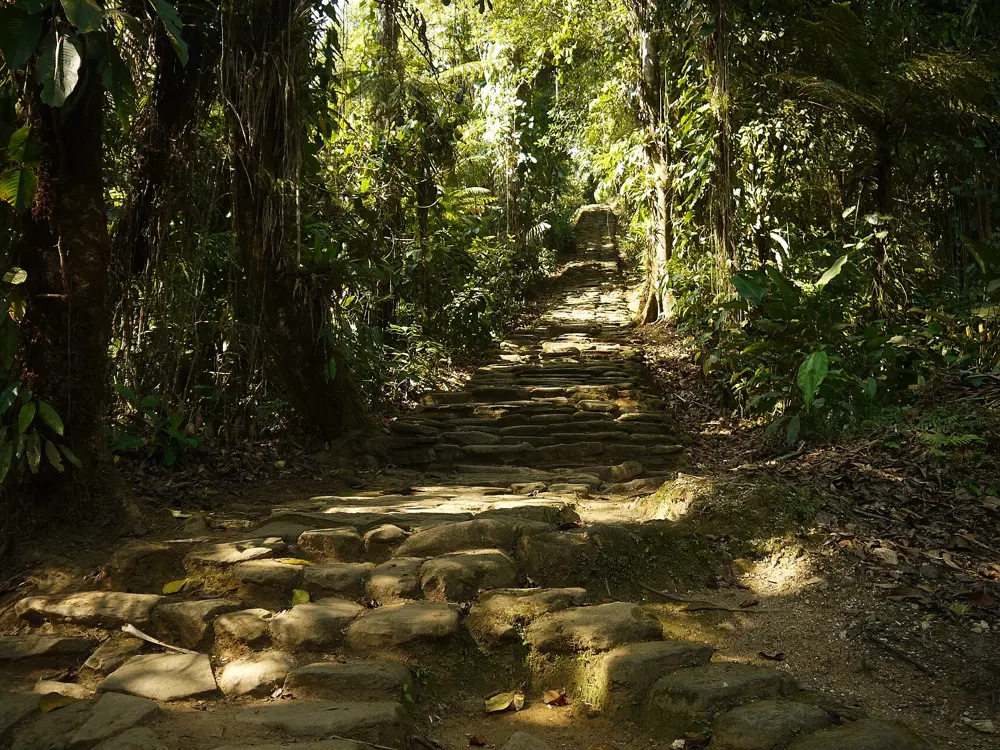
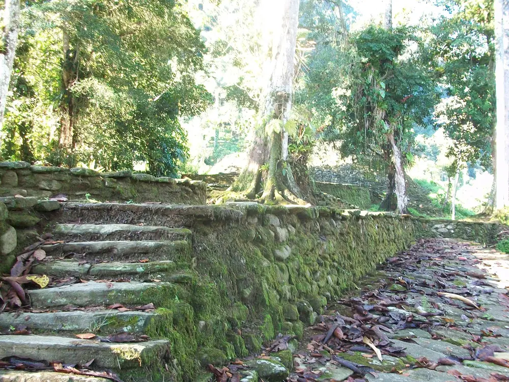
Stone terraces and a stairway of Ciudad Perdida in the forest of the Sierra Nevada de Santa Marta

Photos: William Neuheisel from DC, US (CC BY 2.0), Uhkabu (CC BY-SA 3.0), jmage (CC BY 2.0), William Neuheisel from DC, US (CC BY 2.0)

Distance
About 45 to 50 km return
Time
4 to 6 days
Highest point
About 1,200 m, at the city
Season
January to March driest

Why go

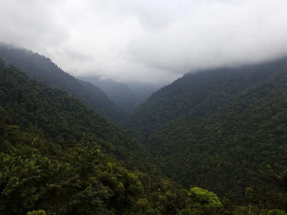
Teyuna, the Lost City, is a stone city of terraces, stairways and circular platforms in the forest of the Sierra Nevada de Santa Marta, built centuries before Machu Picchu and unknown to outsiders until the 1970s. There is no road to it. You walk in through the lands of the Kogui and their neighbours, cross the Buritaca river again and again, and finish on about 1,200 stone steps that climb out of the jungle onto the first terraces. It is a hot, humid, muddy walk, and that is part of what makes reaching the city feel earned.

The route

The trail starts at the village of El Mamey, also called Machete Pelao, and runs up the valley of the Buritaca river, climbing and dropping over a series of steep ridges. Days are short in distance, about 5 to 10 km, but take 4 to 6 hours of walking because of the gradients and the heat. The last camp sits below the city, and on the final morning you cross the river and climb the stone staircase, which takes 40 minutes to an hour, to the terraces at about 900 to 1,200 m. You return to El Mamey by much the same path.

When to go

January to March is the driest stretch, and June and July are the next best. September to November is the wettest season, when river crossings can reach thigh depth. The park also closes for part of each year at the request of the indigenous authorities: in 2024 it was all of September, and in 2026 an operator reports a closure for the whole of October, so check the calendar of ICANH, the national institute that runs the site, before you book.

Getting there

Santa Marta, on the Caribbean coast, is the base. Operators collect you there and drive to El Mamey, about three hours away, the last part on an unpaved four-wheel-drive track.

Permits and booking

You cannot walk independently. Only operators licensed by ICANH may run the trek, and every group goes with a certified guide. The park entrance of 75,000 pesos is normally included in the tour price along with food, camps and transport.

How hard it is

The distance is modest, but the climbs are steep, the paths turn to mud after rain and some river crossings use a rope when the water is high. Heat and humidity are the real test, so you need to be able to walk uphill for hours and repeat it the next day.

Where to sleep

Groups sleep in simple camps run along the route, with bunks or hammocks under mosquito nets, cold showers and meals cooked on site.

Tips

  • Get yellow fever and tetanus vaccinations at least ten days before the trek.
  • Drink only treated or bottled water at the camps.
09 / 10

Vale do Pati

Chapada Diamantina National Park, Bahia, Brazil

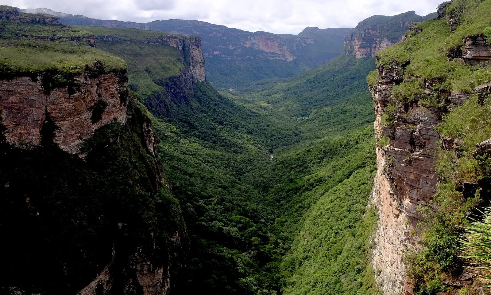
The green Vale do Pati between sandstone cliffs in the Chapada Diamantina

Photos: Jardelsliumba (CC BY-SA 3.0), Willemarcel (CC BY-SA 3.0), Felipe Lessa (CC BY-SA 4.0), AndréOlmos (CC BY-SA 4.0)

Distance
About 40 km loop, or 68 km to Andaraí
Time
3 to 5 days
Entry
Free, no permit
Season
April to October

Why go

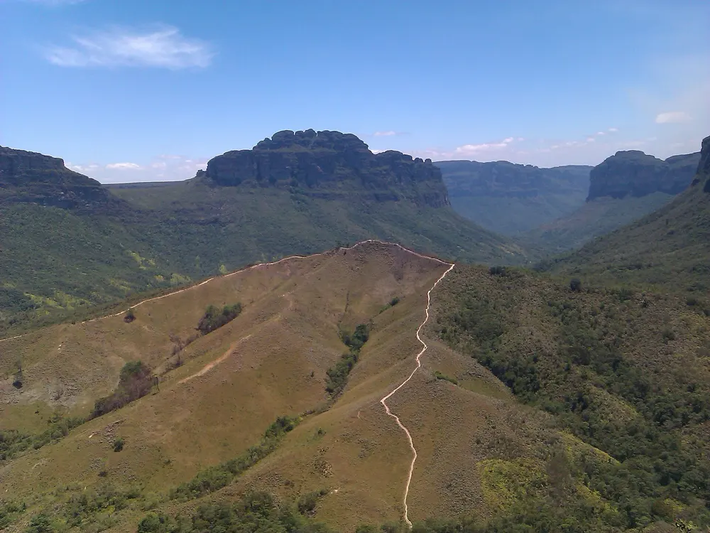
The Vale do Pati is a deep green valley in the sandstone tablelands of the Chapada Diamantina, a national park since 1985, and it is often called the best trek in the Chapada. The walls of the valley rise as flat-topped mesas, waterfalls drop off the rim after rain, and there are no roads. A handful of families still live in the valley, and walkers sleep and eat in their houses, so the trek is as much about the life of the place as the views from its rim.

The route

The most common route is a loop of about 40 km over three days, starting and ending at the Aleixo car park in Guiné. It crosses the Gerais do Rio Preto, an upper plateau that stays fairly flat for more than 3 km, to the Mirante do Pati above the valley, then drops to Igrejinha and climbs the Morro do Castelo to its cave and viewpoint. The five-day crossing, about 68 km, adds the canyon of the Cachoeirão and ends in the town of Andaraí. The oldest route of all starts in the Vale do Capão and takes about five days.

When to go

The dry season runs from April to October. April to June is the best time, when the waterfalls still carry water. July and August are busy with school holidays and can be cold at night. From November to March rain can make trails slippery or impassable.

Getting there

The Chapada Diamantina is about 300 km inland from Salvador, reached by regular buses on the BR-242, and Lençóis also has an airport. Guiné is in the municipality of Mucugê, and transport between the towns is mostly by private van, so most walkers arrange it through an agency in Lençóis or the Vale do Capão.

Permits and booking

The park has no gates or ticket booths, and entry to the Vale do Pati is free. A guide is not compulsory, but ICMBio, which runs the park, recommends hiring a local guide and telling someone your plans.

How hard it is

Moderate to hard, with long climbs and descents on rocky, uneven ground and some slippery sections. The weather changes quickly, and there is no phone signal in the valley.

Where to sleep

Local families run simple guesthouses in the valley, about 14 of them, with shared rooms of bunk beds, cold showers, solar power and home-cooked meals. Wild camping is also possible. Guided trips usually include lodging, meals and transport.

Tips

  • If you go without a guide, carry an offline map, since there is no signal to call for help.
  • Do not plan around the Cachoeirão falls in a dry spell: they carry real water only after rain upstream.
10 / 10

The Petrópolis to Teresópolis Traverse

Serra dos Órgãos National Park, Rio de Janeiro State, Brazil

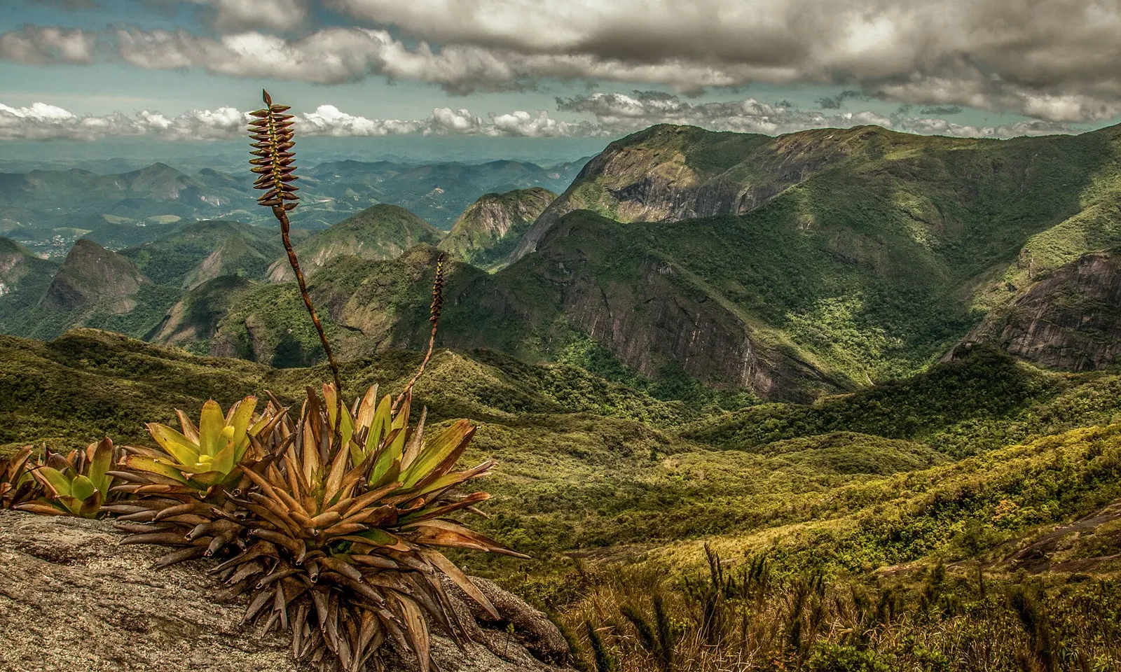
A flowering bromeliad on a rock above the mountains of the Serra dos Órgãos

Photos: Guilherme Haruo (CC BY-SA 4.0), TMbux (CC BY-SA 3.0), TMbux (CC BY-SA 3.0), Marinelson Almeida - Traveling through Brazil from Niteroi, Brasil (CC BY 2.0)

Distance
About 30 km one way
Time
1 to 3 days, usually 3
Highest point
2,263 m, Pedra do Sino
Season
May to September

Why go

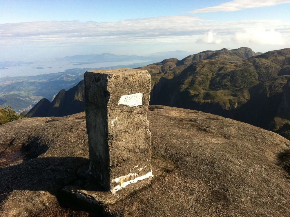
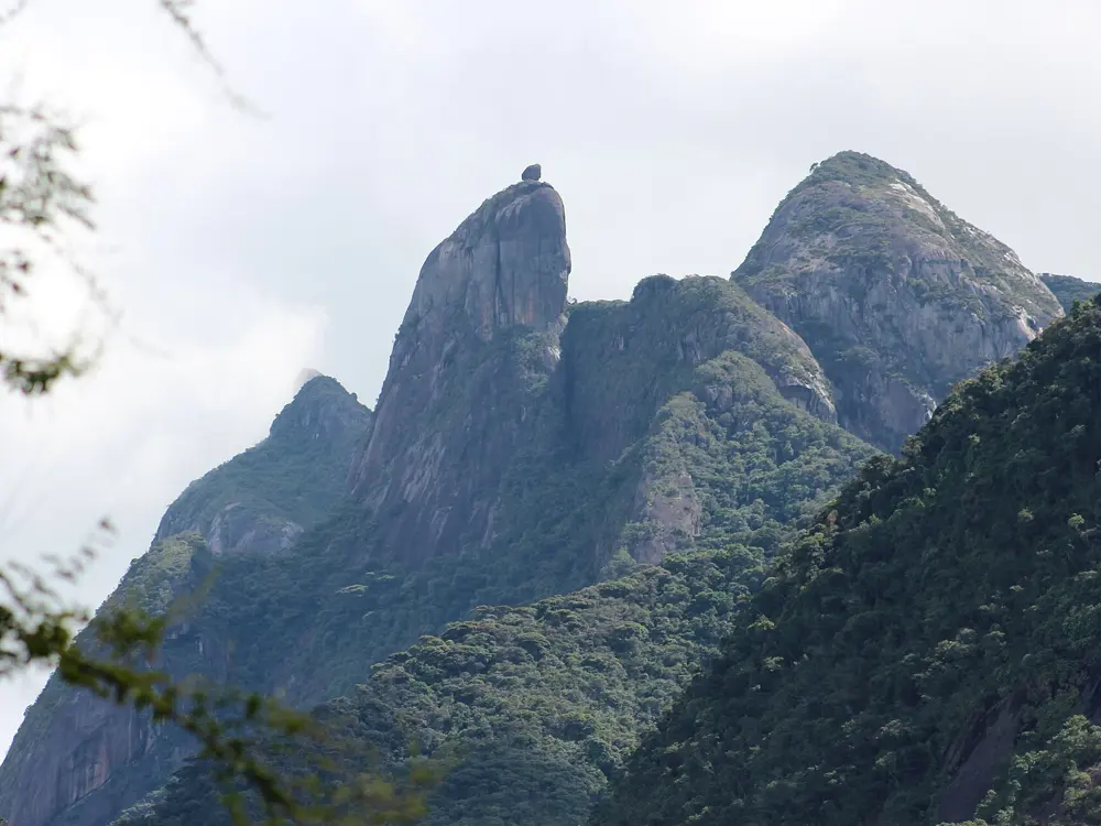
This is one of Brazil's classic mountain traverses, across the granite peaks of the Serra dos Órgãos, a national park since 1939. It runs along the high ground between the mountain towns of Petrópolis and Teresópolis, over bare rock domes and through Atlantic forest, with views of the spires of the range, among them the Dedo de Deus. The high point is the Pedra do Sino, at 2,263 m the highest summit in the park.

The route

The classic three-day crossing starts at the park's Bonfim entrance in Corrêas, Petrópolis. The first day is the hardest climb: about 7 km and 6 to 8 hours to the Castelos do Açu on the Morro do Açu, above 2,000 m, with a camp by the Açu shelter. The second day crosses the high ground to the Pedra do Sino, through the technical passages known as the Elevador, the Cavalinho and the Mergulho. The third day descends through cloud forest to the Teresópolis headquarters, about 6 hours with stops. Strong walkers do it in two days or even one long day of 15 hours or more.

When to go

May to September is the drier season, and June to August brings clear skies with nights that can drop below freezing. Rain is heaviest from December to March, when fog and wet rock make the route much more dangerous.

Getting there

The park is about an hour's drive from Rio de Janeiro. Walkers start at the Bonfim gate in Corrêas, a district of Petrópolis, and finish at the park headquarters in Teresópolis, so arrange transport at each end.

Permits and booking

Entry to the park is currently free. Overnight stays must be booked online, from 2 months before each date, with 70 camping places at each of the Açu and Sino camps. Day walkers need no booking but must enter between 7am and 10am. Everyone must sign the park's risk and rules form and show it at the gate. A guide is not compulsory.

How hard it is

Hard. There are steep slabs, scrambles and exposed passages where the park expressly recommends climbing equipment and technique, and ignoring that can bring a fine. The section from the Açu to the Sino is easy to lose in fog, and a head torch is compulsory.

Where to sleep

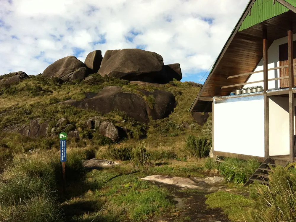
Walkers camp at the Açu and Sino campsites. The mountain shelters are closed for overnight stays, though their kitchen and dining room open to campers from 6am to 9am and 5pm to 9pm. Bring your own cooking gear and a human waste kit, and carry out all rubbish.
Tips

  • Cancel at least four days ahead if you cannot go, or you are barred from booking for three months.
  • Pack for temperatures near freezing and sudden rain, even in the dry season.

Sources

Distances, heights, seasons and permit rules were checked against these pages. Rules change, so check the park or trail authority before you go.