Rungs Labs

Rungs Pilgrimage · Swimming · South America

The 10 Best Places to Swim in South America

Fernando de Noronha, Pernambuco, Brazil. Photo: Alyson Abreu (CC BY-SA 4.0)

South America has the Caribbean in the north, the Atlantic down its eastern side and the Pacific along the west, where the cold Humboldt Current keeps much of the coast chilly. The best swimming is where something softens the sea: reefs and sheltered bays off Brazil and Colombia, warm pools of rainwater in the dunes of Maranhão, spring-fed rivers in Mato Grosso do Sul, and volcanic islands far out in the Pacific, where you share the water with sea lions, turtles and reef sharks.

These ten run from Tayrona on Colombia's Caribbean coast, through Fernando de Noronha, the Lençóis Maranhenses and Bonito in Brazil, to Máncora in northern Peru, the Galápagos, Bahía Inglesa in the Atacama, Anakena on Rapa Nui, Punta del Este in Uruguay and the sea lion colony at Punta Loma in Patagonia. For each one you get the classic swims, the season, how to get there, the fees and rules, how hard it is and where to stay. Every fact comes from park authorities, tourism boards, newspapers or the other pages linked at the bottom.

Updated 2026-10-19

  1. 01Fernando de NoronhaPernambuco, Brazil
  2. 02Bonito and the Rio da PrataMato Grosso do Sul, Brazil
  3. 03Lençóis MaranhensesMaranhão, Brazil
  4. 04Galápagos IslandsGalápagos, Ecuador
  5. 05Tayrona National Natural ParkMagdalena, Colombia
  6. 06Máncora and El ÑuroPiura, Peru
  7. 07Bahía InglesaAtacama, Chile
  8. 08Anakena, Rapa NuiRapa Nui (Easter Island), Chile
  9. 09Punta del EsteMaldonado, Uruguay
  10. 10Puerto Madryn and Punta LomaChubut, Argentina
01 / 10

Fernando de Noronha

Pernambuco, Brazil
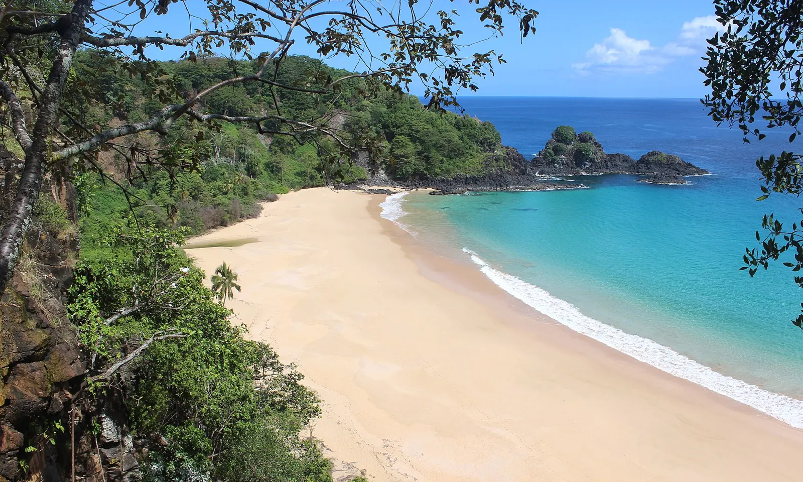
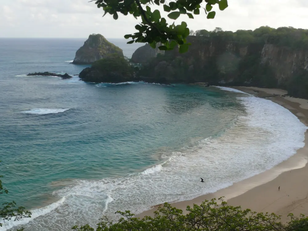
The curve of Baía do Sancho and its turquoise water seen through trees on the cliff above

Photos: Alyson Abreu (CC BY-SA 4.0), Osaki (CC BY-SA 3.0), Adelano Lázaro (CC BY-SA 4.0), Dronepicr (CC BY 3.0)

Distance
About 354 km off the Brazilian coast
Island fee
TPA R$105.79 a day in 2026
Park ticket
R$192 Brazilians, R$384 foreigners, 10 days
Best water
August to October, calm and clear

Why go

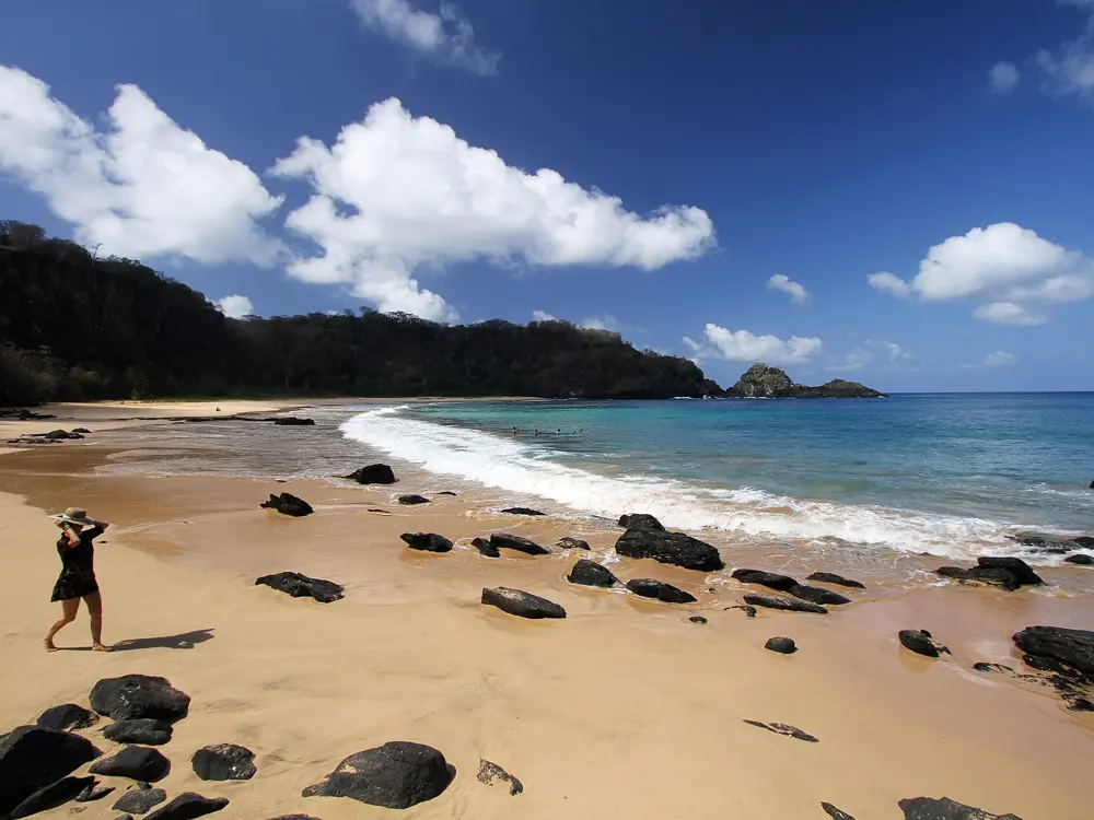
Fernando de Noronha is a group of 21 islands and islets about 354 km off the coast of Brazil, and since 1988 about 70 percent of the archipelago has been a marine national park. UNESCO listed it with Rocas Atoll in 2001, for its feeding grounds, its resident spinner dolphins and its hawksbill turtles. Warm water carried by the South Equatorial Current lets divers go to 30 or 40 m without a wetsuit, and visibility can reach about 50 m. Baía do Sancho, the island's best known swim, was named the world's best beach in Tripadvisor's 2025 Travellers' Choice awards, its seventh win.

The route

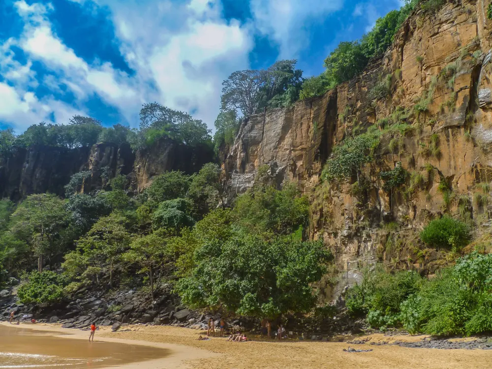
Baía do Sancho is a cove of green water below forested cliffs, reached by a staircase that runs down between the rocks. Turtles, dolphins and reef fish are common around its reefs from August to October. Next door, Baía dos Porcos is a small bay of rock and reef for snorkelling, reached only on foot from Cacimba do Padre beach along a rocky path at low tide; the old path from Porcos to Sancho is closed. The park ticket also covers Baía do Sueste, Praia do Leão, Baía dos Golfinhos and Praia da Atalaia, where visits must be booked in advance.

When to go

The rainy season runs from February to July and the rest of the year is mostly dry, with daily highs of about 28 to 30 C. August to October brings the calmest sea and the clearest water. Avoid Porcos in the swell season, when the sea is rough and visibility drops.

Getting there

There are daily flights from Recife and Natal to the island's airport. Only the main island is inhabited.

Permits and booking

Every visitor pays the Taxa de Preservação Ambiental, R$105.79 a day from 1 January 2026, rising with the length of stay: R$672.85 for seven days. Extra days beyond those declared are charged double. Pay online on the island's official site, or in person when you arrive or leave. The marine park ticket, R$192 for Brazilians and R$384 for foreigners, is valid for 10 consecutive days and is needed for Sancho, Porcos, Sueste and the park's other beaches. Brazilians under 12 or over 60 are exempt. Even if you buy online, collect a park card at the ticket office.

How hard it is

Inside the bays the water is usually calm and warm, but the swell can make it rough and murky. The Porcos path crosses slippery rocks with steep drops. At low tide a small natural pool forms on the left of Porcos; entering it is forbidden, to protect its marine life. Sancho has a daily limit on visitors.

Where to sleep

Visitors stay in guesthouses, known as pousadas, and small hotels on the main island.

Tips

  • Bring your own mask and snorkel to Porcos, where nothing is for hire.
  • Go to Porcos as the tide drops, so you have the walk back before the sea covers the sand.
02 / 10

Bonito and the Rio da Prata

Mato Grosso do Sul, Brazil

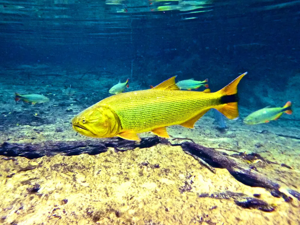
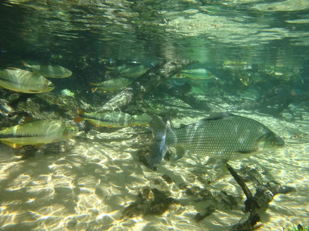
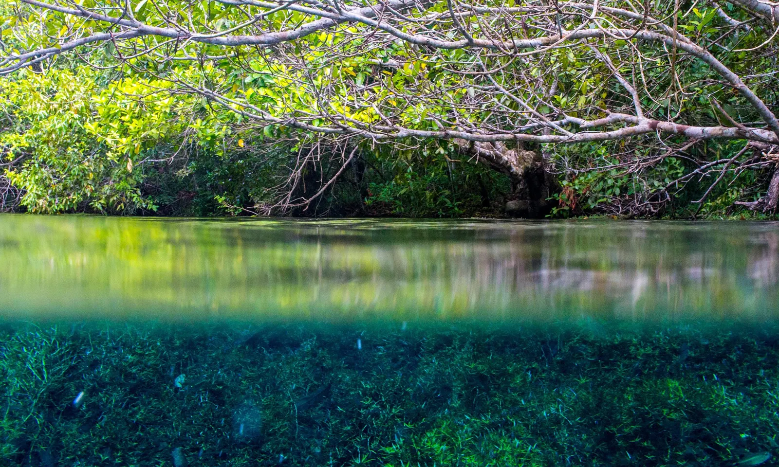
Fish and green weed under the clear water of the Rio da Prata, below overhanging branches

Photos: Marcel Favery (CC BY-SA 3.0), Felipe cancian (CC BY-SA 3.0), Daniel Francisco Madrigal Möller (CC BY-SA 3.0), MTur Destinos (Public domain)

Distance
Rio da Prata float about 2.2 km
Price
Rio da Prata R$470 low season, R$570 high season (2026)
Groups
Up to 10 people with a guide
Minimum age
5 years on the Rio da Prata

Why go

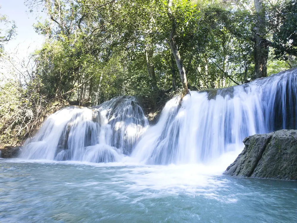
Around Bonito, at the foot of the Serra da Bodoquena, spring-fed rivers run so clear that you can float face down and watch fish below you as if through glass. The town has built its tourism on limits, with a cap on visitor numbers at each site, and more than 290,000 people came in 2025. Swimming here is a slow drift with mask and snorkel over sand, weed and shoals of fish, with the current doing the work.

The route

The classic is the Rio da Prata, in the neighbouring municipality of Jardim. After a short ride on an open truck and a walk through forest, you float about 1.7 km down the Rio Olho d'Água from its spring, where the shoals are thickest, and then about 600 m on the Rio da Prata itself, which is colder and less clear. The whole trip takes about 3 hours. Closer to town, the Aquário Natural at Baía Bonita is 7 km away, the Rio Sucuri 19 km, and the Balneário Municipal, run by the town, lets you swim freely in the Rio Formoso 6 km from the centre.

When to go

The rivers can be floated all year. School holidays, from 20 December to 30 January and 10 to 31 July, are high season, when prices rise and the Rio da Prata should be booked at least a month ahead. Lagoa Misteriosa, in Jardim, opens only from April to September, when its colour and visibility are best.

Getting there

Bonito is about 278 km by road from Campo Grande, the state capital, and has its own small airport. The Rio da Prata is about 50 km from the centre of Bonito.

Permits and booking

Trips cannot be bought at the gate. Book through a local agency, in town or online, and book early, since each site has a daily limit. 2026 adult prices for the Rio da Prata are R$470 in low season and R$570 in high season; the Balneário Municipal costs R$70 and R$98.

How hard it is

You do not need to be able to swim on the floats: the operators supply a wetsuit, boots, mask and life vest, and you must be able to breathe through a snorkel. Only small action cameras or waterproof phones on a wrist strap are allowed. The Rio da Prata has run dry downstream in recent dry seasons: in September 2025 a stretch of about 3 km near the Ponte do Curê, after about 6 km the year before, though the reports said tourist sites were not affected.

Where to sleep

Bonito has hotels and guesthouses in town, and the agencies run shared transfers to the Rio da Prata.

Tips

  • Wear your swimsuit under your clothes, as you change straight into the wetsuit at reception.
  • Ask the agency for its price list first, then let it build a package of trips.
03 / 10

Lençóis Maranhenses

Maranhão, Brazil

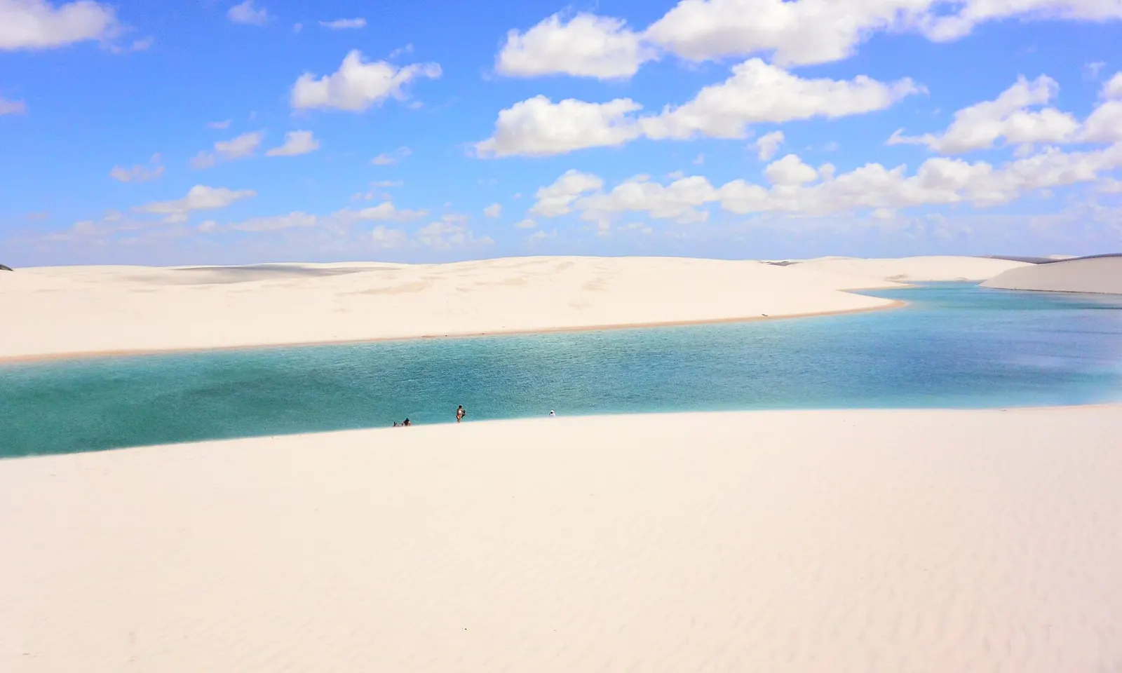
Lagoa Azul, a long blue lagoon between white dunes in the Lençóis Maranhenses

Photos: Esquilo (CC BY-SA 3.0), Rosanetur from Rio de Janeiro, Brazil (CC BY 2.0), Danielle Pereira from Brasil (CC BY 2.0), Danielle Pereira from Brasil (CC BY 2.0)

Distance
Lagoa Bonita circuit: 15 km by 4x4 from Barreirinhas
Water
About 27.5 to 32 C
Best months
June to August, when the lagoons are full
World Heritage
Since July 2024

Why go

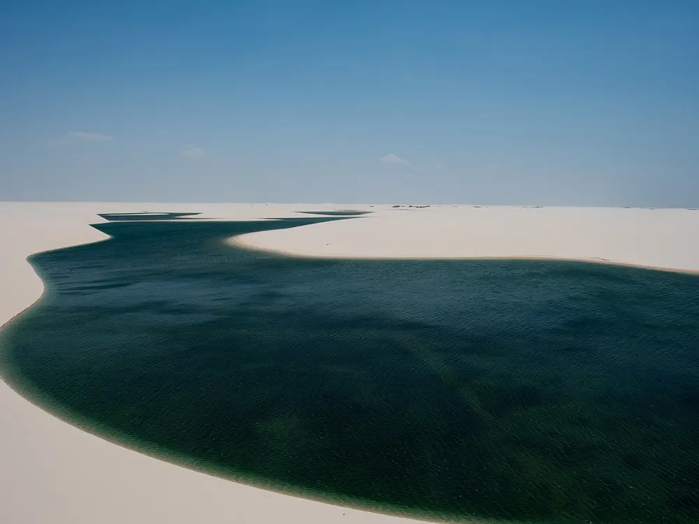
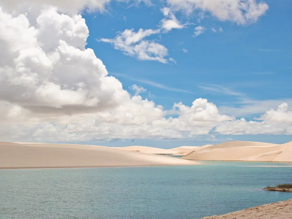
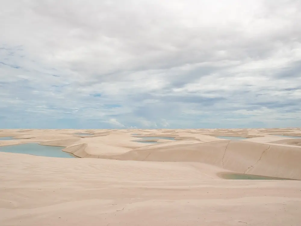
On the coast of Maranhão, about 155,000 hectares of white dunes fill with rain each year, and the hollows between them become lagoons of blue and green water up to about 3 m deep. The water is warm, about 27.5 to 32 C, and in the dry season the lagoons sink by up to a metre a month until many of them vanish. UNESCO made the park a World Heritage Site in July 2024. Swimming here means climbing a dune of soft sand and dropping into a lagoon that may not exist in a few months.

The route

From Barreirinhas, the Lagoa Azul circuit crosses the Rio Preguiças on a small ferry, and the 4x4s stop outside the dune field so that visitors walk in to Lagoa Azul and its neighbours. The Lagoa Bonita circuit drives 15 km on sand and dirt tracks, then climbs a dune of about 80 m, now with a staircase, to reach Lagoa Bonita, Lagoa do Clone and other lagoons; it leaves at 13:30 and stays for sunset, about 5 hours in all. Santo Amaro, the town closest to the dunes, reaches its first lagoons in under 20 minutes.

When to go

Rain falls from January to June, heaviest in February and March. June to August is the best time, when the lagoons are full and the air is about 26 to 29 C. From September the lagoons shrink; those near Santo Amaro last until about October, and November and December are the driest months.

Getting there

Barreirinhas is about 260 km, about 4 hours, by road from São Luís; Santo Amaro is about 227 km and Atins about 279 km.

Permits and booking

There is no separate park ticket; entry is part of the tours run by accredited agencies, which are the only ones allowed to take vehicles and guides into the park. Do not walk into the dunes without a guide.

How hard it is

The lagoons are calm, warm and mostly shallow, but the walking is on loose sand under a strong sun. Climbs of up to 80 m are the hardest part. The lagoons change from week to week, so guides pick the route on the day.

Where to sleep

Barreirinhas has the most hotels and guesthouses. Santo Amaro and Atins are smaller and closer to the dunes; plan two or three days at each base.

Tips

  • Take the afternoon Lagoa Bonita tour to watch the sunset from the dune above the lagoon.
  • Go in June or July if you want Lagoa Azul full; in the dry season its level falls a long way.
04 / 10

Galápagos Islands

Galápagos, Ecuador

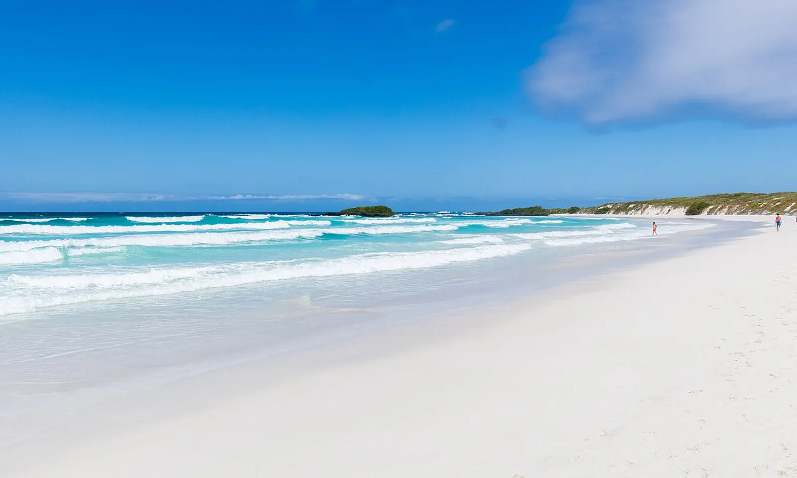
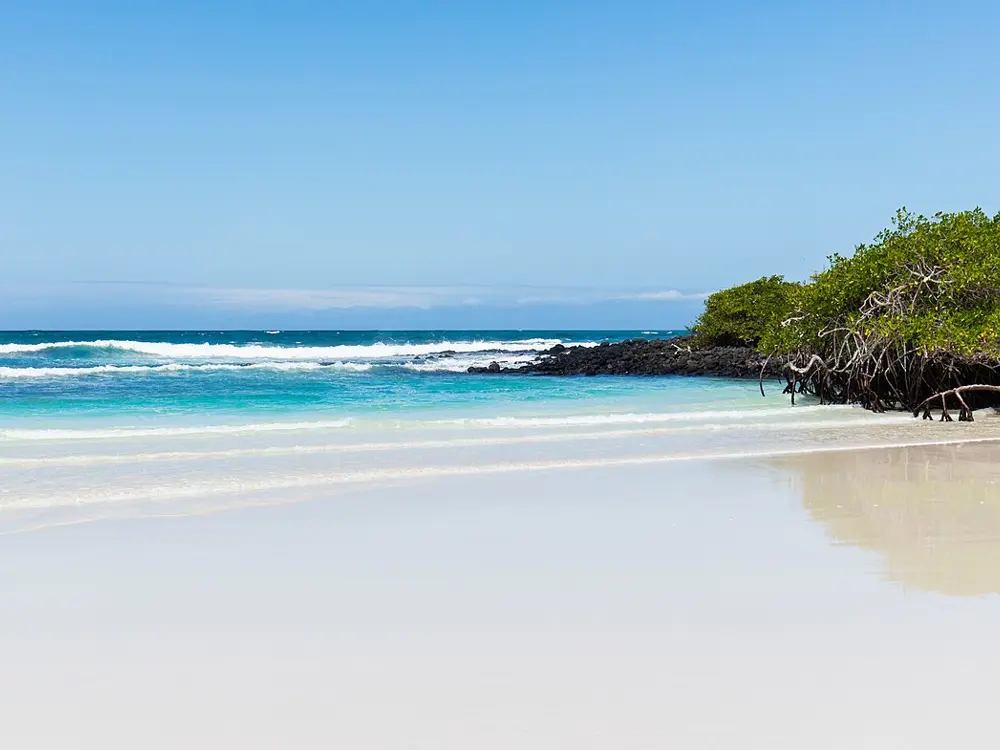
White sand and breaking surf on the main beach at Tortuga Bay on Santa Cruz

Photos: Diego Delso (CC BY-SA 4.0), Diego Delso (CC BY-SA 4.0), Diego Delso (CC BY-SA 4.0), Diego Delso (CC BY-SA 4.0)

Distance
Tortuga Bay path about 2,490 m from Puerto Ayora
Park fee
US$200 for foreign adults since 2024
Transit card
US$20 a person
Concha de Perla
Up to about 4 m deep, free, no guide needed

Why go

The Galápagos lie about 1,000 km west of mainland Ecuador, inside a marine reserve of about 133,000 square kilometres, and have been a World Heritage Site since 1978. In the water, close to shore, you meet sea lions, marine iguanas, turtles, rays and, on Isabela, penguins. Several of the best swims can be reached from town on foot, without a boat or a cruise.

The route

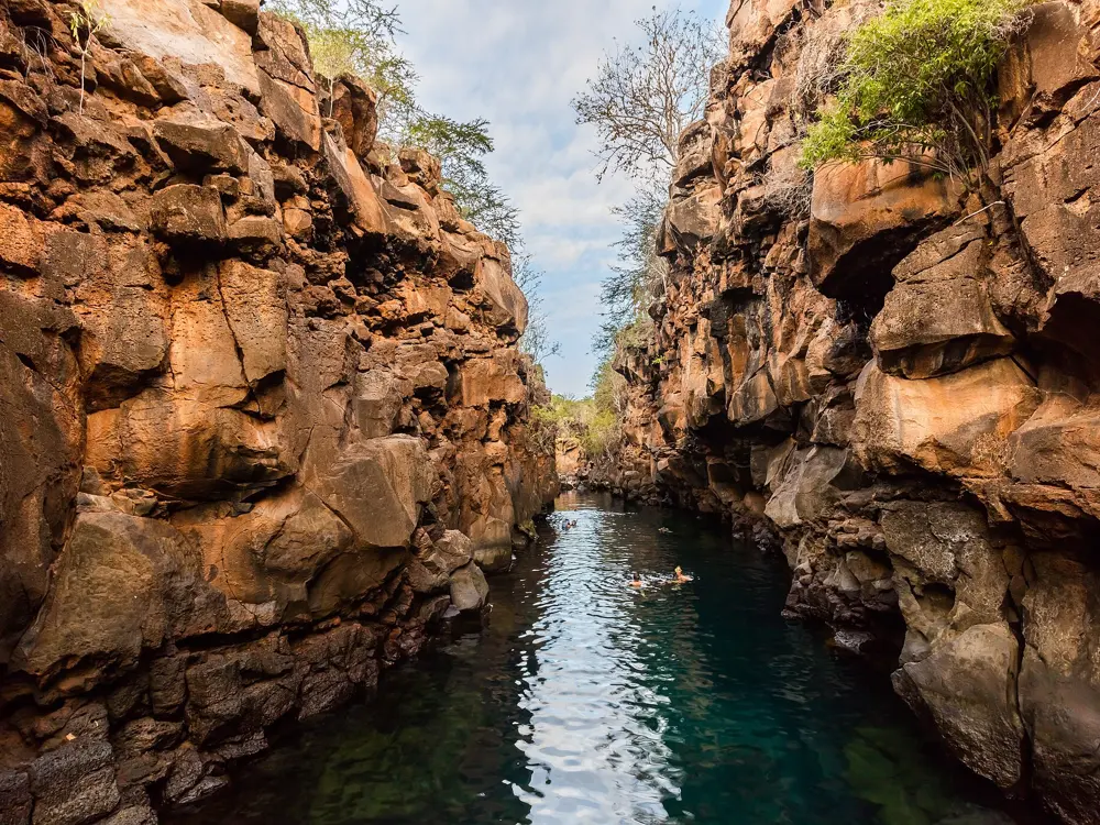
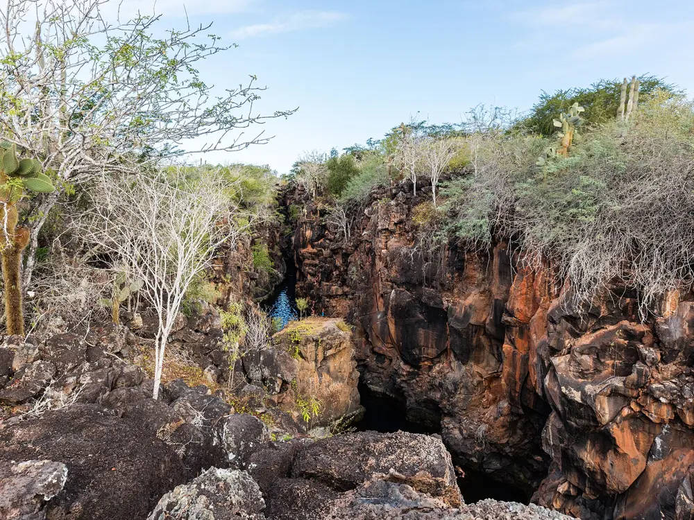
On Santa Cruz, a path of about 2,490 m leads from Puerto Ayora to Tortuga Bay. Its long main beach is closed to swimmers and kept for wildlife, but a sheltered cove beside it is open for swimming, and whitetip reef sharks often patrol it in groups. Las Grietas is a deep, clear channel of water between lava cliffs, reached by water taxi across the harbour and a walk of 15 to 20 minutes. On Isabela, Concha de Perla is a lagoon by the pier at Puerto Villamil, reached along a boardwalk, where you may swim with sea lions, penguins, turtles and rays in up to about 4 m of water.

When to go

The warm season, from about January to June, has calm seas and water around 20 C, warm enough for long swims without a wetsuit. In the cooler garúa season the water drops to about 15 to 22 C; August and September are the coolest months and September can be rough, so bring or hire a wetsuit.

Getting there

Flights from mainland Ecuador land at Seymour Airport on Baltra, next to Santa Cruz. Puerto Ayora, on Santa Cruz, is the largest town in the islands.

Permits and booking

Foreign adults pay a US$200 entry fee, doubled from US$100 after the governing council approved the change on 24 February 2024; Ecuadorians pay US$30. Every visitor also needs a US$20 transit control card, which records arrival and departure. Concha de Perla lies outside the national park and is free, with no guide needed. Las Grietas is now a guided visit with a US$10 fee, and the water taxi costs about US$2.

How hard it is

These are calm, shallow swims, but sea lions can be curious and males and mothers with pups can be aggressive. At Concha de Perla the coral reef is closed while it recovers, so stay in the marked area and do not pass the stop sign; currents near the rope get strong as the tide comes in, and there are sea urchins on the left side.

Where to sleep

Puerto Ayora on Santa Cruz and Puerto Villamil on Isabela have hotels and guesthouses within walking distance of these swims.

Tips

  • Snorkel Concha de Perla at low tide, when visibility is best.
  • Reach Las Grietas before 10am or after 3pm to avoid the crowds.
05 / 10

Tayrona National Natural Park

Magdalena, Colombia

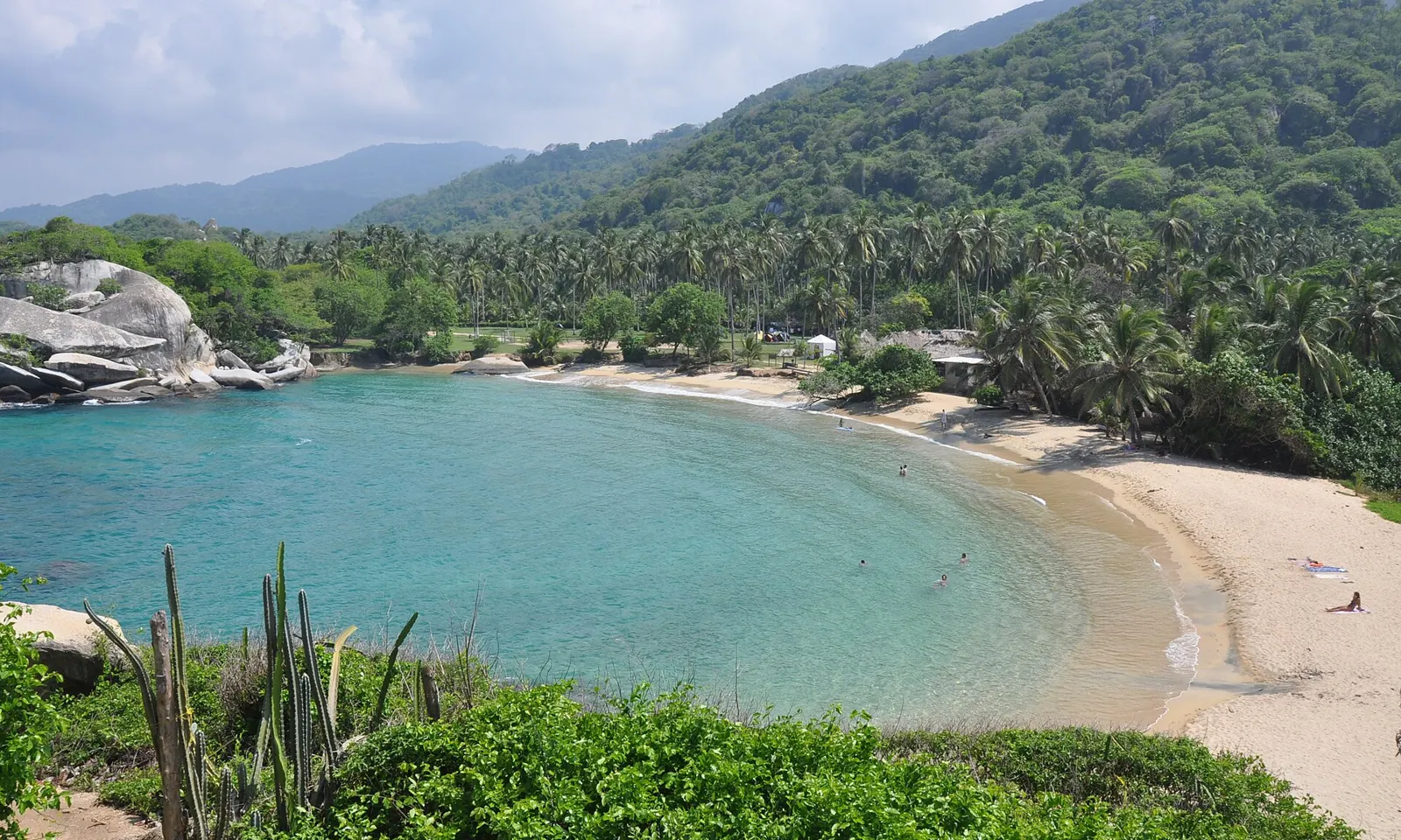
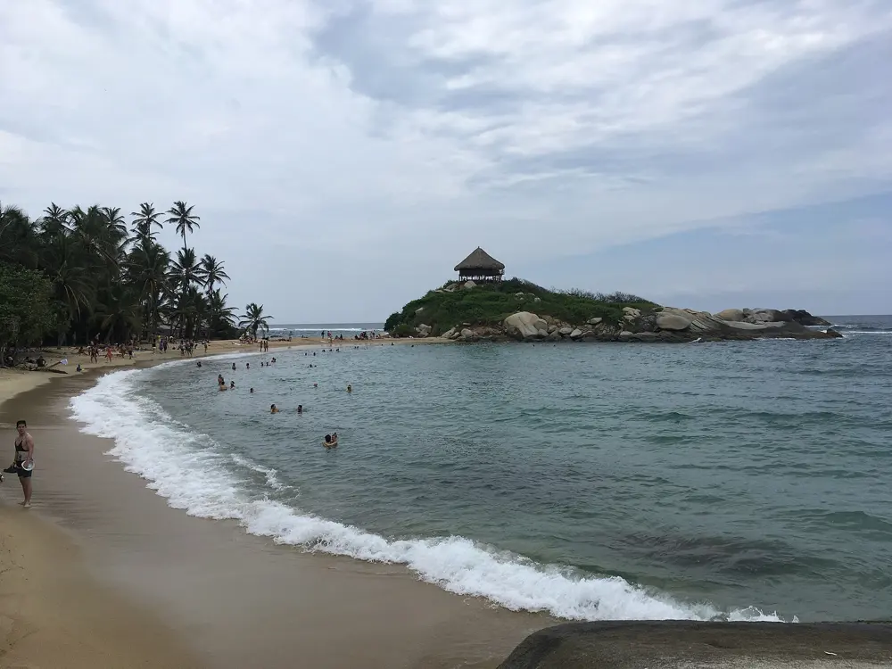
The beach at Cabo San Juan del Guía curving below palms and forested hills in Tayrona

Photos: Jorge Láscar from Australia (CC BY 2.0), David Shankbone (CC BY-SA 3.0), Santiago Augusto Páez Pulido (CC BY-SA 4.0), Supertita (CC BY-SA 4.0)

Distance
El Zaino entrance 32 km from Santa Marta
Entry 2026
COP 81,000 low season, COP 96,500 high, for foreign visitors
Closed
1 to 15 February, 1 to 15 June, 19 October to 2 November
Insurance
Accident policy required for every visitor

Why go

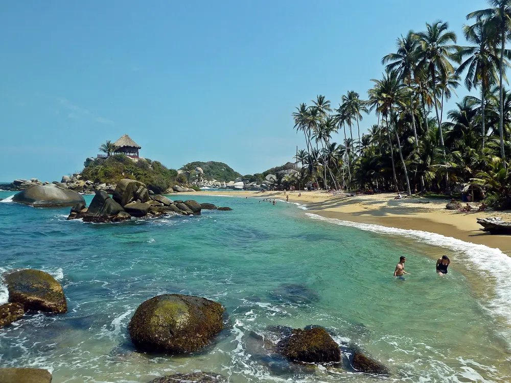
Tayrona covers 19,309 hectares where the forested foothills of the Sierra Nevada de Santa Marta meet the Caribbean, and its coves of boulders and palms hold some of the best known swims in Colombia. It was the country's second most visited national park in 2022, with 545,760 visitors. Swimming is allowed only at a handful of its beaches, often at the end of a walk through the forest.

The route

The park names the places where swimming is allowed: the natural sea pool on the coastal trail from Arrecifes to Cabo San Juan del Guía, known as La Piscina; the main beach at Cabo San Juan; Bahía Concha, for swimming and snorkelling; Playa Gayraca; and Neguanje and Playa del Muerto. Cabo San Juan is reached on foot from El Zaino or from Calabazo, by way of Playa Brava and Boca del Saco. Bahía Concha, in the west of the park, is about 15 minutes on an unpaved road and then about 20 minutes on foot to the beach.

When to go

January to March is the driest time, and October, with about 266 mm of rain, the wettest. The park closes three times a year for the Indigenous peoples' rituals of renewal: 1 to 15 February, 1 to 15 June and 19 October to 2 November. It is closed now and reopens on 3 November 2026. High season, with higher fees, runs from 1 December to 31 January, 1 June to 31 July, Holy Week and long weekends.

Getting there

El Zaino, the main entrance, is 32 km from Santa Marta on the Troncal del Caribe towards Riohacha, about 45 minutes by car. Calabazo is about 35 minutes from Santa Marta by car or city bus. Boats also run from Santa Marta and Taganga.

Permits and booking

2026 fees for foreign visitors who are not residents or Andean Community citizens are COP 81,000 in low season and COP 96,500 in high season, and COP 43,500 at Bahía Concha. Every visitor needs accident insurance from an approved insurer. There are no advance reservations: tickets are sold each day at the gate, and each site has a daily limit. Single-use plastics, speakers, pets, bottles of spirits and drones without a permit are banned.

How hard it is

Swim only in the authorised areas, and stay out when a red flag is flying. The walks are hot and humid. After a security closure early in 2026, the park reopened on 5 March with a permanent police post of 60 officers.

Where to sleep

Most visitors stay in Santa Marta or Taganga, which have the boats into the park, and go in for the day.

Tips

  • Arrive at the gate early: in high season El Zaino stops letting people in at 3pm.
  • Carry water and a refillable bottle, since single-use plastic is not allowed in.
06 / 10

Máncora and El Ñuro

Piura, Peru

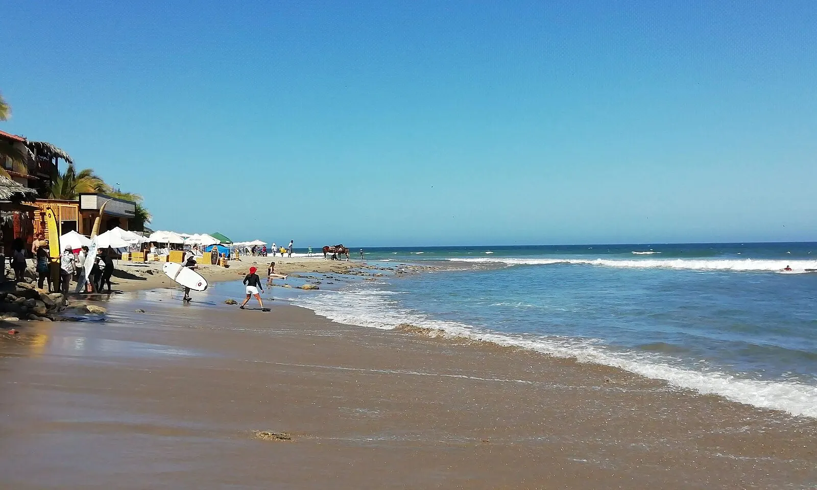
Waves rolling onto the sand at Máncora beach under a blue sky

Photos: Melissamarzo (CC BY-SA 4.0), Charles Gadbois (CC BY 3.0), El Surquillano (CC0), AlCortés (CC BY 2.0)

Distance
Vichayito 13.6 km south of Máncora
From Piura
About 3 hours by road
Flight
Lima to Piura in about 1 hour 20 minutes
Turtles
Swim with green turtles at El Ñuro pier

Why go

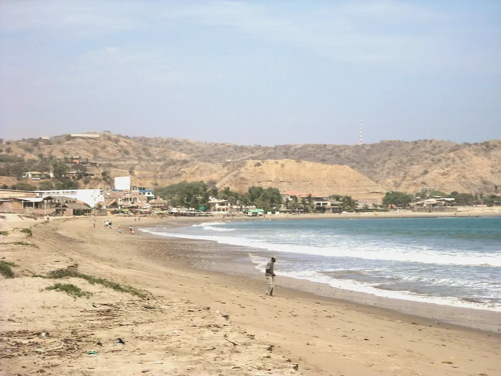
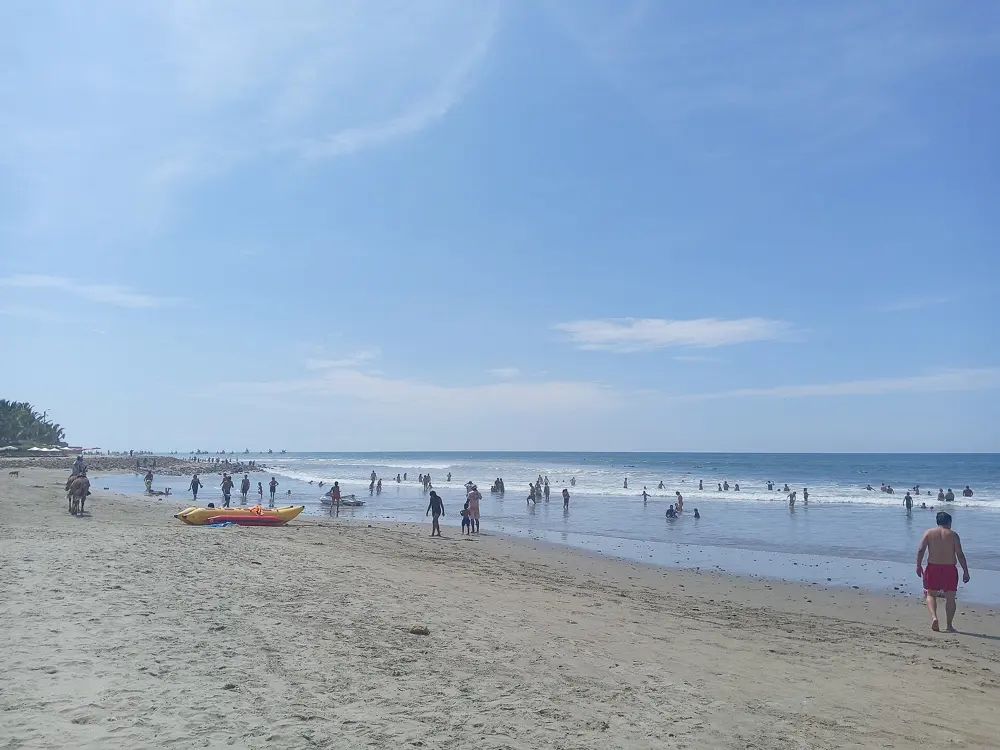
In the far north of Peru, in the province of Talara, the water is warm and the climate mild all year. Máncora is the town at the centre of this coast, a surf beach with a string of quieter beaches to the south. Its best known swim is at El Ñuro, a fishing cove where green turtles feed beside the pier, which Peru's state news agency calls the only place in the country to swim with sea turtles.

The route

At Máncora the warm water and strong waves suit surfing and bodyboarding. About 4 km south, Las Pocitas has natural pools among the rocks when the tide goes out. Vichayito, 13.6 km south of Máncora, between Las Pocitas and Los Órganos, is quiet, with no rocks or big waves, and good for a long swim. At El Ñuro, about 20 minutes from Máncora, the turtles gather to the left of the pier, and boats from Máncora, Los Órganos and El Ñuro take swimmers out to them.

When to go

The climate is mild all year and mid-year is a little cooler. January and February are the favourite months for the beach. High season, when prices rise, is Holy Week, the Fiestas Patrias holidays, and Christmas and New Year. Whales come close to the coast in the middle of the year, and are watched from Cabo Blanco.

Getting there

Máncora is about 150 km northwest of Piura. Fly from Lima to Piura in about 1 hour 20 minutes or to Tumbes in about 1 hour 30 minutes, then take the road: about 3 hours from Piura or 2 hours from Tumbes on the Panamericana Norte. Buses cost about S/20 from Piura and S/30 from Tumbes.

Permits and booking

No permit is needed for the beaches. The turtle swims are sold by local operators; one runs 2 hour trips from Máncora, at 10:00 and 15:30, at S/60 for adults, without snorkel gear, but its page now says the trip is not available, so check before you book.

How hard it is

Máncora's waves are for surfers; swim at Vichayito or in the pools at Las Pocitas when the sea is up. At El Ñuro, give the turtles space and let them come to you.

Where to sleep

Máncora has more than 30 places to stay; book ahead in high season, when prices rise.

Tips

  • Bring your own mask and snorkel for El Ñuro.
  • Swim at Vichayito when the waves at Máncora are too big.
07 / 10

Bahía Inglesa

Atacama, Chile

Turquoise water over pale sand and low rocks at Bahía Inglesa

Photos: Matias Daza (CC BY 2.0), Sports Cars Fan (CC BY 2.0), Chris Hunkeler from Carlsbad, California, USA (CC BY-SA 2.0), Sports Cars Fan (CC BY 2.0)

Distance
About 6 km from Caldera
From Santiago
About 880 km by road, 10 hours
Flights
Daily from Santiago to the Desierto de Atacama airport
Best season
December to March

Why go

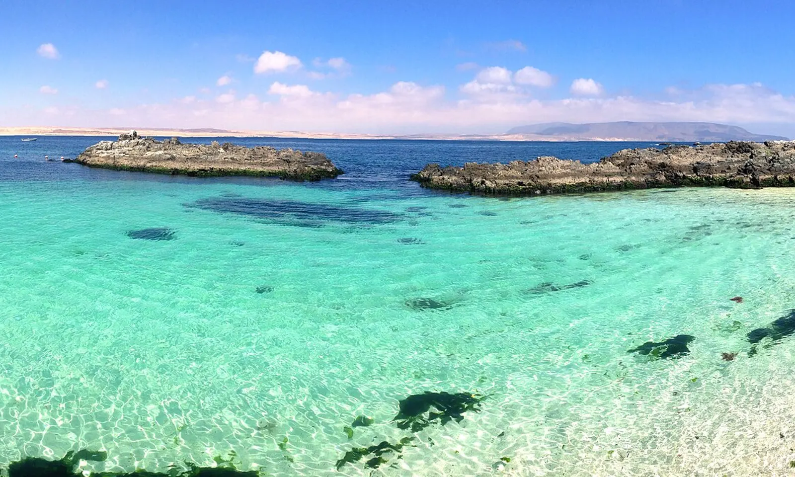
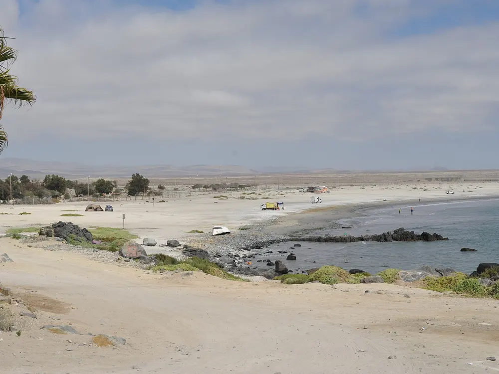
Chile's long Pacific coast is mostly cold and rough, but at Bahía Inglesa, on the edge of the Atacama Desert, white sand and turquoise water meet calm, pleasant sea that Chile's tourism board calls safe for swimming. The bare desert comes right down to the sand, and quieter coves lie north and south of the bay.

The route

The bay's own beaches, La Piscina and El Chuncho, are the family beaches, with calm waves and comfortable water. Playa Loreto, between Caldera and Bahía Inglesa, has little swell and turquoise water that makes the bottom easy to see, which suits swimming and diving. Further out, Playa La Virgen, about 40 km south of Bahía Inglesa, has white sand and warm water, and Los Chorrillos, 21 km away, is a cove of cliffs and white sand that few people reach because the way in is hard. The bay is also used for kitesurfing, windsurfing, kayaking and diving.

When to go

December to March has the best weather. Services are stretched in high season, so book flights and rooms early. The desert coast is sunny, but nights can be cool when the coastal fog, the camanchaca, comes in, so bring a light jacket.

Getting there

Fly from Santiago to the Desierto de Atacama airport, which has daily flights and is about 20 minutes from the bay. By road it is about 880 km from Santiago on Ruta 5 Norte, about 10 hours, to Caldera, then 6 km to the bay; buses take about 12 hours, and taxis and shared taxis, called colectivos, run from Caldera.

Permits and booking

No permit or fee is needed to swim at the beaches. If you camp at the remoter coves, bring all your own equipment.

How hard it is

La Piscina and El Chuncho are calm and suit children. The way in to Los Chorrillos is difficult. Sun on the desert coast is strong, so bring a hat and sunscreen.

Where to sleep

Stay in Bahía Inglesa or in Caldera, 6 km away; book early, since rooms are short in high season.

Tips

  • Visit the Parque Paleontológico Los Dedos near the bay.
  • If rain has been unusually good, look for the flowering desert, the Desierto Florido, inland.
08 / 10

Anakena, Rapa Nui

Rapa Nui (Easter Island), Chile

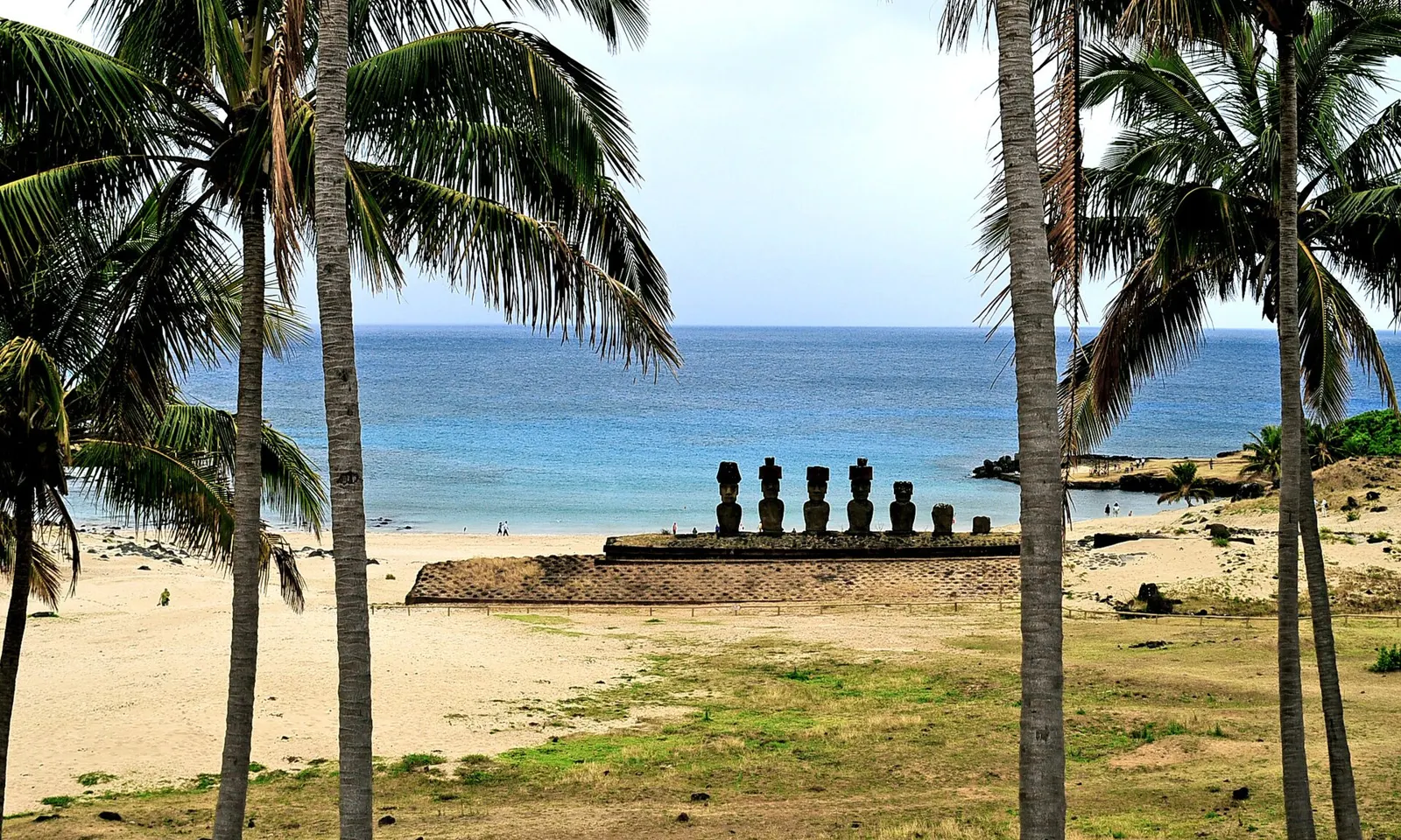
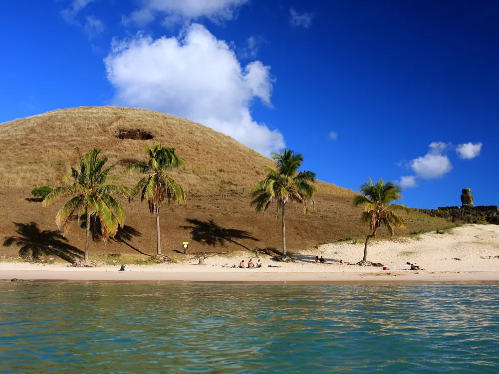
The moai of Ahu Nau Nau seen between palm trunks above the sand at Anakena

Photos: LBM1948 (CC BY-SA 4.0), Mbmerino (CC BY-SA 3.0), TravelingOtter (CC BY 2.0), Nathaly Narrias (CC BY-SA 3.0)

Distance
About 3,512 km from continental Chile
Park ticket
US$100 international adult, 10 days, since 1 October 2025
Stay
30 days at most, with a free online entry form
Moai
Seven at Ahu Nau Nau, behind the beach

Why go

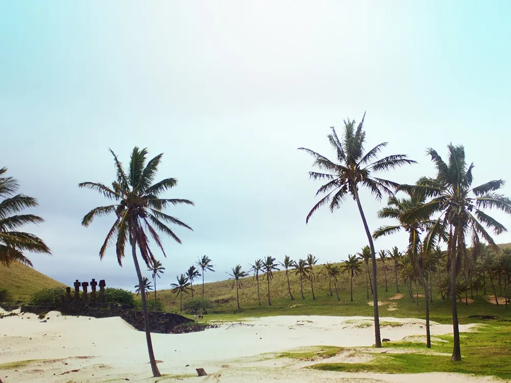
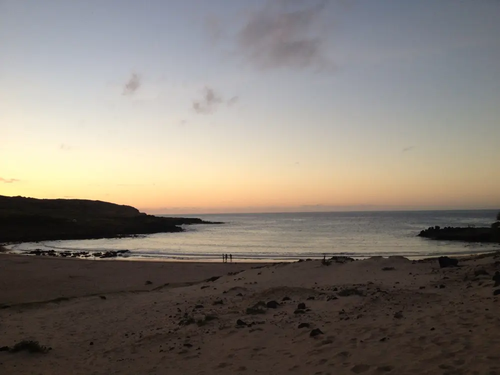
Rapa Nui is about 3,512 km from the nearest point of continental Chile, an island of 163.6 square kilometres whose coast is almost all rock. Anakena is one of only two small sandy beaches on it, a cove of white coral sand with a palm grove, and behind it stand the seven moai of Ahu Nau Nau. Oral tradition says that Hotu Matu'a, the first settler, landed here, sheltered from the prevailing swell.

The route

Swim from the sand at Anakena, in the clear water of the cove that sheltered the first canoes. The island's second beach, Ovahe, is much smaller and far less crowded. In Hanga Roa, the island's only town, Pea is a small beach suited to beginners on surf and body boards, and Poko Poko is a natural pool at Hanga Vare Vare, a few steps from the centre.

When to go

The island's beaches are good for swimming all year round, with clear water, so go when you can get a flight and a room.

Getting there

Most visitors connect in Santiago for the LATAM flight to Mataveri airport at Hanga Roa.

Permits and booking

Chilean law 21.070 limits tourist stays to 30 days. Before boarding, fill in the free online entry form, the Formulario Único de Ingreso, on ingresorapanui.interior.gob.cl; the police check it at the departure airport. You need a booking at lodging authorised by SERNATUR, or an invitation letter from an islander, and a return ticket within 30 days. The national park ticket, sold by the Ma'u Henua community that runs the park, rose to US$100 for international adults on 1 October 2025 (US$40 for children); it is valid for 10 consecutive days and gives one entry each to Rano Raraku and Orongo.

How hard it is

Anakena is a gentle, sandy beach. Elsewhere the coast is rocky and exposed, so swim only at the sheltered beaches and pools.

Where to sleep

Stay in Hanga Roa, the island's only town, and drive or take a tour to Anakena.

Tips

  • Make sure your lodging booking matches the details on your entry form.
  • Stay for the evening light, when the sun sets over the bay.
09 / 10

Punta del Este

Maldonado, Uruguay

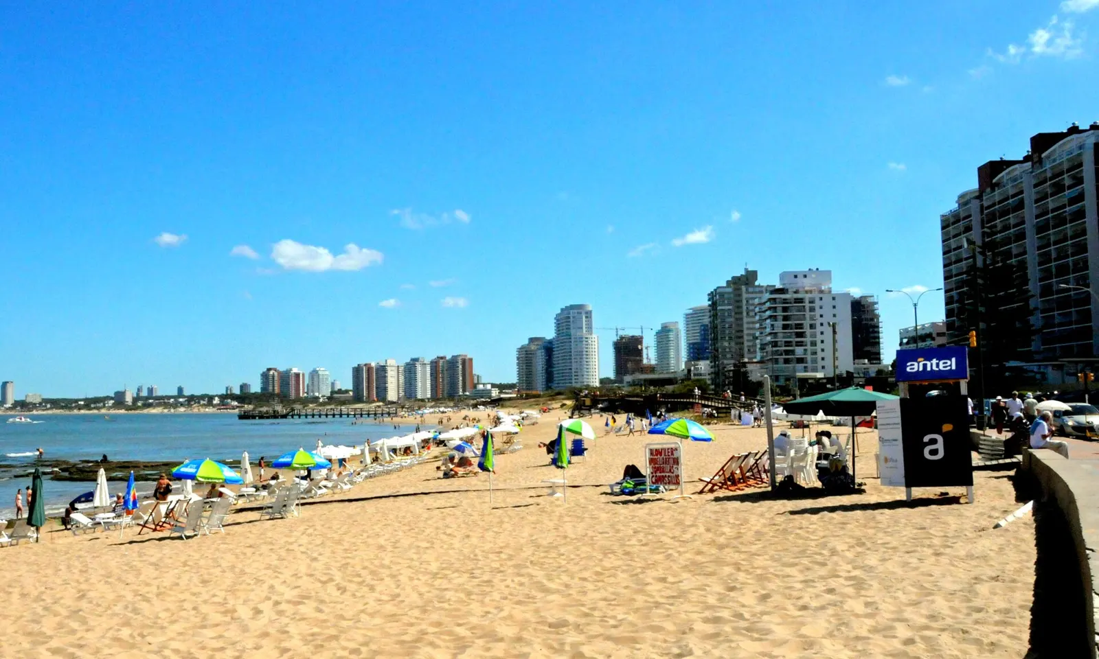
Umbrellas on the sand at a Punta del Este beach, with the town's tower blocks behind

Photos: Andrés Franchi Ugart… (CC BY-SA 3.0), Rosina Peixoto (CC BY-SA 4.0), alvaro errandonea (CC BY 3.0), Fadesga (CC BY-SA 4.0)

Distance
About 140 km east of Montevideo
Lifeguards
About 320 on the Maldonado coast
2025/26 season
Weekends from 14 November, daily 1 December to 5 April
Isla Gorriti
About 21 hectares, with two beaches

Why go

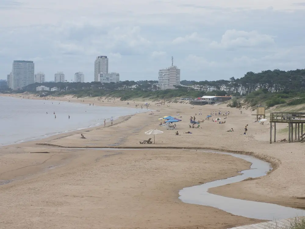
Punta del Este sits on a point where the Río de la Plata ends and the Atlantic begins, and it gives you two kinds of sea from the same town. On one side the Mansa, the tame beach, has calm water and thick golden sand; on the other the Brava, the fierce one, faces the open ocean with white sand and surf. It is the most famous resort in Uruguay, a town of about 18,000 people that fills up in summer.

The route

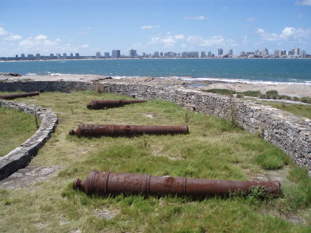
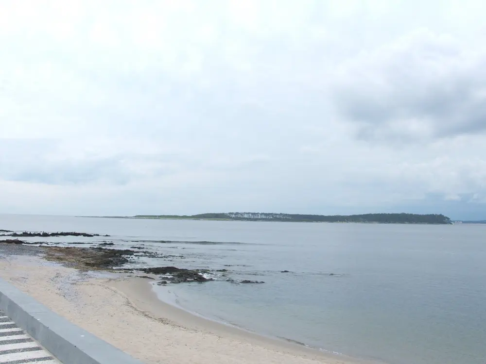
Swim on the Mansa side for calm water. On the Brava side the waves are bigger, and further east, at La Barra, Manantiales and José Ignacio, the beaches are more exposed still. Boats cross from the port to Isla Gorriti, an island of about 21 hectares with two beaches, Playa Honda and Garden Port, and a natural harbour. Isla de Lobos, offshore, is a nature reserve with a colony of sea lions.

When to go

Summer, from December to February, is the season, when the town is at its busiest and its galleries and La Barra's nightlife are in full swing. In the 2025/26 season lifeguards worked weekends from 14 November and every day from 1 December to 5 April.

Getting there

Punta del Este is about 140 km east of Montevideo. Most international flights land at Carrasco in Montevideo, about 115 km away, with buses on to the town; Laguna del Sauce airport, near Punta del Este, is the country's second airport.

Permits and booking

The beaches are free, and no permit is needed to swim.

How hard it is

The Mansa beaches are the calm ones. The lifeguards name the Brava, La Barra, Manantiales and José Ignacio as the most dangerous beaches, because of their bigger waves. About 320 lifeguards cover the coast of Maldonado in season; swim near a post.

Where to sleep

Stay in the town, close to both beaches, or in La Barra or José Ignacio for a quieter base.

Tips

  • Pick your side by the wind and swell: when the Brava is rough, the Mansa is usually calm.
  • Take the boat to Isla Gorriti for a swim away from the town beaches.
10 / 10

Puerto Madryn and Punta Loma

Chubut, Argentina

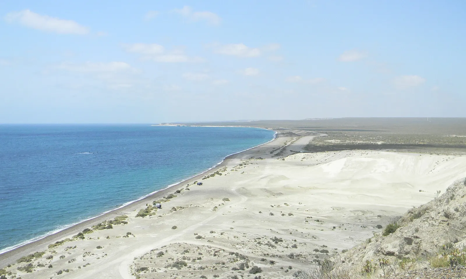
A long white beach and turquoise water on the coast near Puerto Madryn

Photos: Paco Martinez (CC BY-SA 3.0), MikZapata (CC BY-SA 4.0), Paco Martinez (CC BY-SA 3.0), Gastón Cuello (CC BY-SA 4.0)

Distance
Punta Loma about 17 km south of the city
In the water
About 45 minutes with the sea lions
Price
About ARS 180,000 a person, winter 2026
Whales
June to December in the gulfs of Península Valdés

Why go

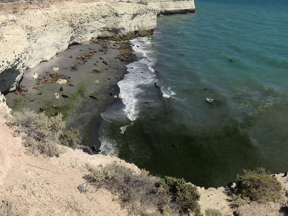
Puerto Madryn stands on the Golfo Nuevo, a gulf enclosed by the Valdés Peninsula and Punta Ninfas in Argentine Patagonia, and its cold water offers one of the best wildlife swims in South America. At Punta Loma, south of the city, a permanent colony of South American sea lions lives below the cliffs, and the young ones come to play with snorkellers. From June to December the gulfs also fill with southern right whales, which can be seen from the beaches.

The route

Boats leave the city for Punta Loma at high tide, about 25 minutes' sailing, and you spend about 45 minutes in the water with the sea lions, in a wetsuit, mask, fins and a flotation vest. Divers can go down with the colony too. Puerto Madryn's own beaches line the city's seafront, and at El Doradillo, a protected area about 15 km from the city, whales come close to the shore, especially at high tide.

When to go

Snorkelling runs all year, weather permitting. Pups are born in January and February, and from June to November the young sea lions are more independent, go into the water more often and come close to swimmers. The whale season runs from June to December; boat trips to see them leave only from Puerto Pirámides, on the peninsula. In winter the air is about 2 to 13 C.

Getting there

El Tehuelche airport is about 10 km northwest of the city, but flights there are limited, so most visitors fly to Trelew and continue by road.

Permits and booking

Snorkelling with the sea lions is an authorised activity, sold by operators in the city. In winter 2026 it cost about ARS 180,000 a person, and diving with the sea lions about ARS 260,000. El Doradillo is free to enter. The Península Valdés protected area charges an entry fee, ARS 30,000 for general visitors in 2025, payable in cash.

How hard it is

You do not need to be able to swim: the vest keeps you afloat, and children can go from 6 years old. The water is cold, so the wetsuit matters. The number of sea lions you see depends on the wind, the currents and the weather on the day.

Where to sleep

Puerto Madryn has hotels in the city and more than 70 restaurants, known for their seafood.

Tips

  • Go between June and November, when the young sea lions are at their most playful.
  • Plan four days or more to fit in Punta Loma, El Doradillo and a whale trip from Puerto Pirámides.

Sources

Distances, heights, seasons and permit rules were checked against these pages. Rules change, so check the park or trail authority before you go.