Rungs Labs

Rungs Pilgrimage · Swimming · South Africa

The 10 Best Places to Swim in South Africa

Cape Town's tidal pools, Cape Peninsula, Western Cape. Photo: Hilton Teper (CC BY-SA 3.0)

South Africa has two seas. On the west coast and around Cape Town the Atlantic is cold and clear, and swimmers use tidal pools, sheltered coves and a warm lagoon; along the south coast and up into KwaZulu-Natal the Indian Ocean gets steadily warmer, until at Sodwana Bay you swim over coral reefs. 62 South African beaches received Blue Flag recognition for 2026/27, and its best beaches have lifeguards in season, shark spotters or nets, and flags that tell you where to swim.

These ten run from Langebaan Lagoon on the west coast, through Cape Town's Clifton beaches, tidal pools and the penguins at Boulders, along the Overberg and Garden Route coast at Hermanus, Mossel Bay and Plettenberg Bay, to Gqeberha on Algoa Bay, Durban's Golden Mile and Sodwana Bay in northern KwaZulu-Natal. For each one you get the classic swims, the season, how to get there, the fees and rules, how hard it is and where to stay. Every fact comes from city and park authorities, tourism bodies, newspapers or the other pages linked at the bottom.

Updated 2026-10-19

  1. 01Cape Town's tidal poolsCape Peninsula, Western Cape
  2. 02Clifton's beachesAtlantic Seaboard, Cape Town, Western Cape
  3. 03Boulders Beach, Simon's TownTable Mountain National Park, Simon's Town, Western Cape
  4. 04Sodwana BayiSimangaliso Wetland Park, KwaZulu-Natal
  5. 05Plettenberg BayGarden Route, Western Cape
  6. 06Grotto Beach, HermanusWalker Bay, Overberg, Western Cape
  7. 07Langebaan LagoonWest Coast National Park, Western Cape
  8. 08Santos Beach, Mossel BayGarden Route, Western Cape
  9. 09Durban's Golden MileDurban, KwaZulu-Natal
  10. 10Kings Beach and the Gqeberha beachfrontAlgoa Bay, Nelson Mandela Bay, Eastern Cape
01 / 10

Cape Town's tidal pools

Cape Peninsula, Western Cape
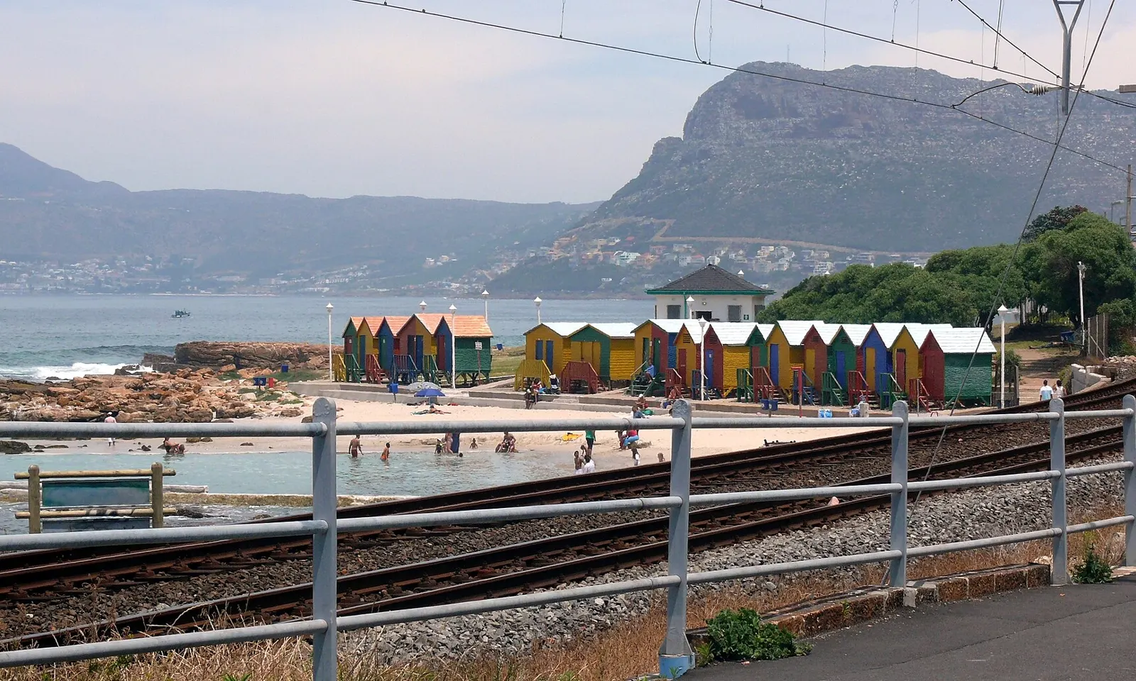
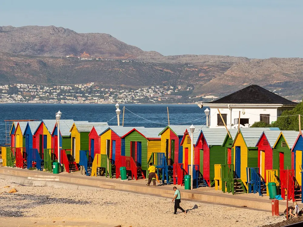
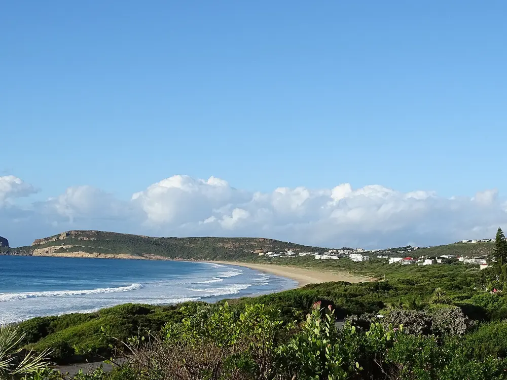
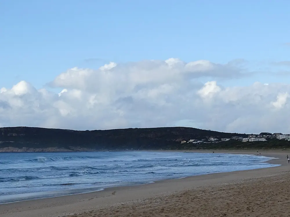
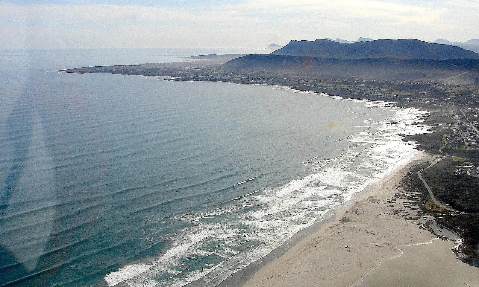
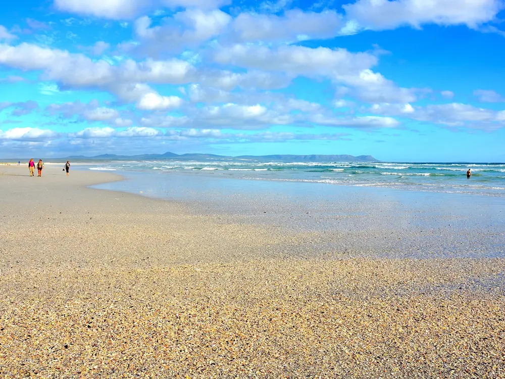
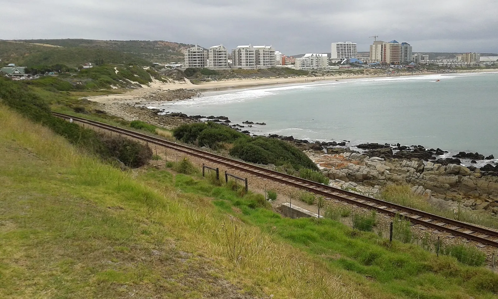
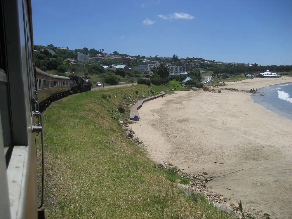
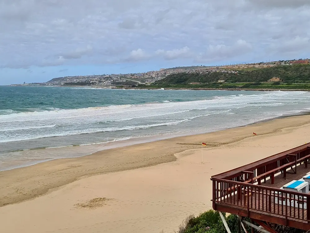
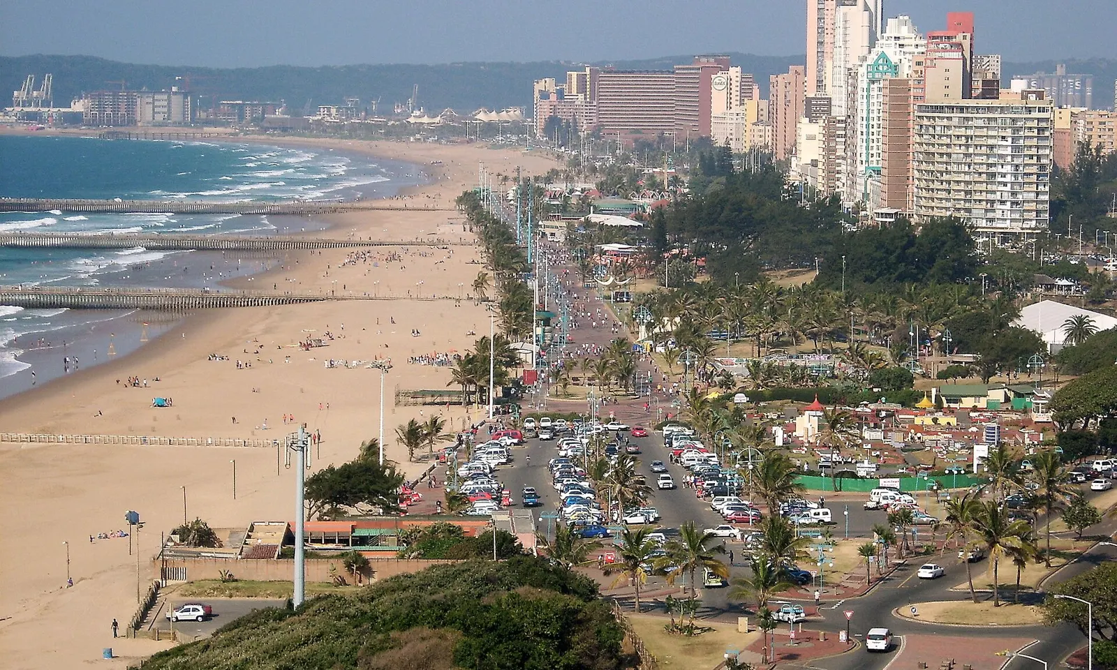
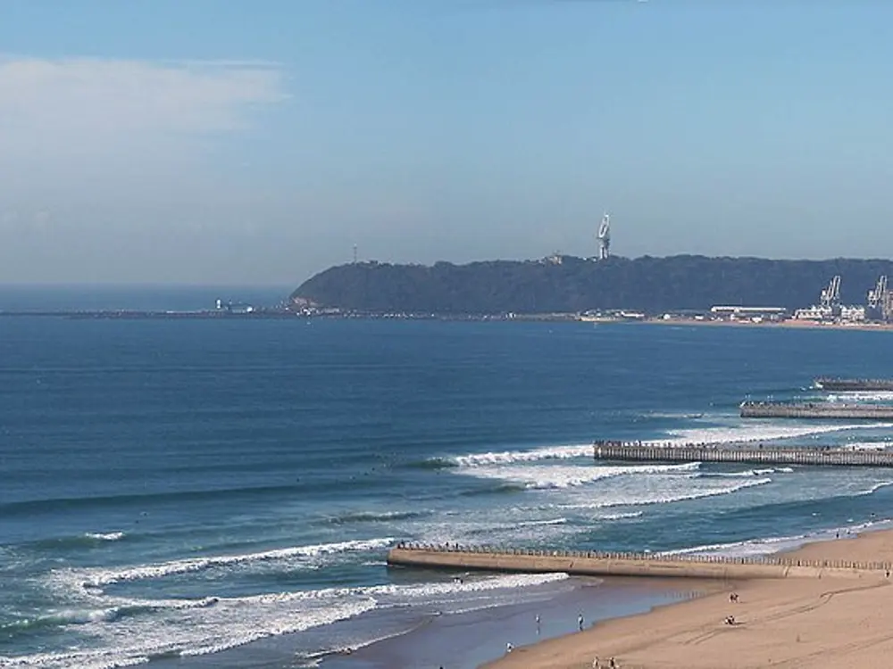
The St James tidal pool and its striped bathing boxes on False Bay, beside the railway

Photos: Hilton Teper (CC BY-SA 3.0), Diego Delso (CC BY-SA 4.0), Moheen Reeyad (CC BY-SA 4.0), Moheen Reeyad (CC BY-SA 4.0)

Distance
Robben Island to Bloubergstrand about 7.5 km
Water
False Bay about 16 to 22 C in summer; Atlantic side 10 to 15 C
Entry
Tidal pools free; Sea Point Pool R39 adult
St James pool
1,229 square metres, open 24 hours

Why go

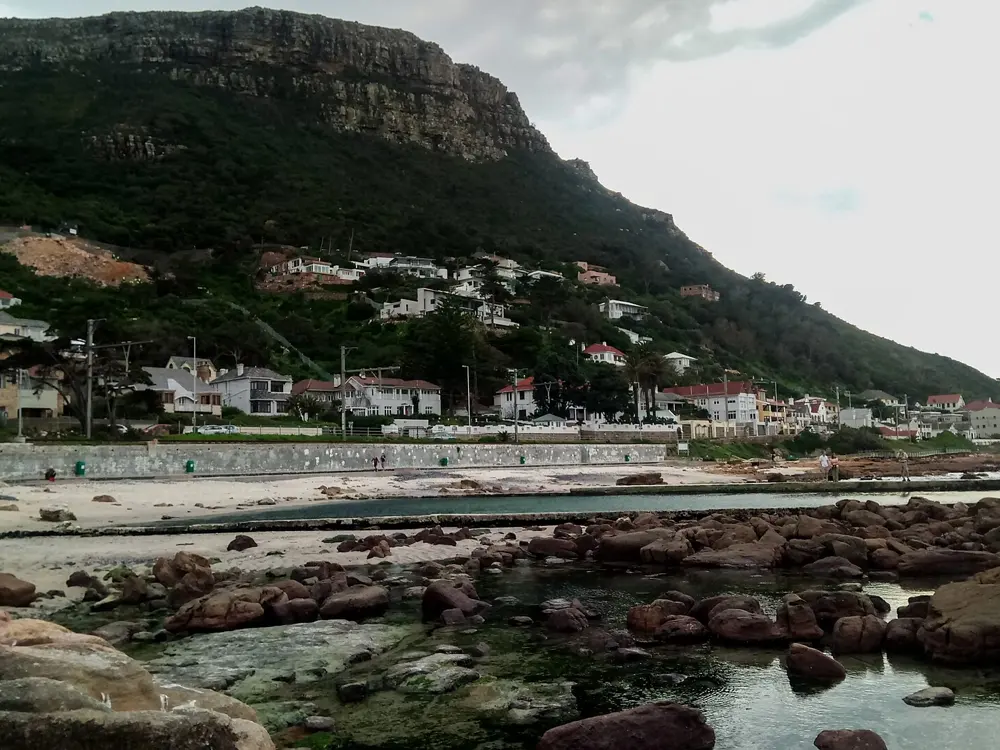
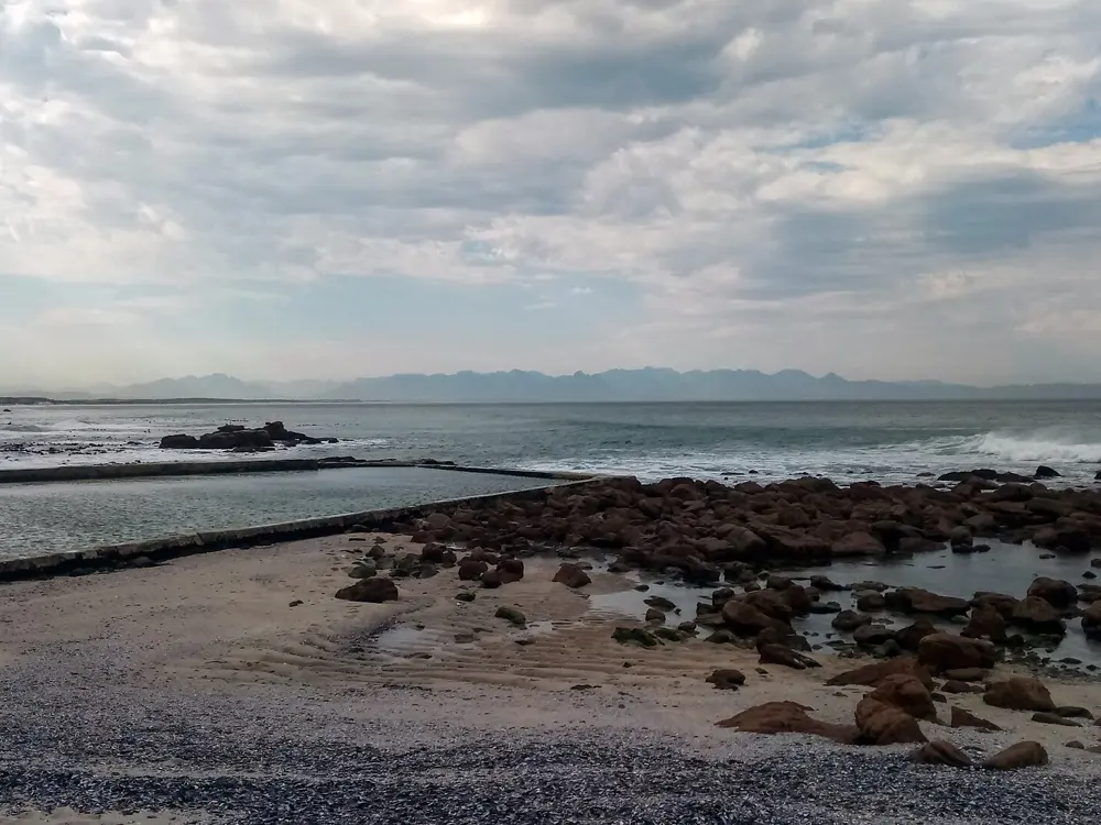
Along both coasts of the Cape Peninsula, low walls built across the rocks hold back the sea in tidal pools, where the swell breaks outside and the water inside stays calm enough for a morning swim. The two sides of the peninsula feel like different seas: False Bay, on the east, is warmed by water piled up along the coast by the southeaster wind, while the Atlantic shore has cold, clear water brought up from the depths. Swimmers here can choose a warm sheltered pool or a cold one under Table Mountain on the same day, and a city pool on the Sea Point promenade fills the gap when the sea is too rough.

The route

On False Bay, the St James tidal pool on Main Road, known for its Victorian bathing boxes painted in bright stripes, covers 1,229 square metres and is open 24 hours. A short walk on, Dalebrook, a 1,022 square metre rock pool between St James and Kalk Bay, is shallow and generally warm, which makes it a family favourite. On the Atlantic side, Camps Bay and Maiden's Cove have tidal pools off Victoria Road, and Saunders Rocks is built into the rocks on the Sea Point promenade. The City's Sea Point Swimming Pool, on the same promenade, has a 50 m main pool, 28 m wide and 1.5 m deep, as well as a 5 m deep diving pool and children's pools. For open water, the crossing from Robben Island to Bloubergstrand is about 7.5 km.

When to go

Summer is the season for swimming. City of Cape Town figures put False Bay at about 16 to 22 C in summer and the Atlantic coast at about 10 to 15 C. St James is busy on weekends and holidays, and early mornings are quietest. The Sea Point pool opens from 07:00 to 19:00 from Tuesday to Sunday and on public holidays, and from noon on Mondays.

Getting there

St James is on the Simon's Town railway line, between Muizenberg and Kalk Bay, and Dalebrook is a short walk along the coast. Camps Bay and Sea Point are on the Atlantic side of the city, below Table Mountain and Lion's Head.

Permits and booking

The City's tidal pools cost nothing to use. Sea Point Swimming Pool charges R39 for adults and R23 for children aged 3 to 15, is free for children under 2 and pensioners over 60, and takes cards only. The Robben Island crossing is an organised swim, run in wetsuit and non wetsuit categories.

How hard it is

Tidal pools are calm, but the rocks are slippery and the Atlantic pools are cold. Outside the walls, False Bay has white sharks: Shark Spotters watches Muizenberg, St James, Fish Hoek and Caves every day of the year, and a white flag with a siren means a shark has been seen close to swimmers and you should leave the water. Fish Hoek also has a shark exclusion net around its bathing area. The Robben Island swim is a cold water event, with water reported as low as 8 to 9 C over Easter 2015, and the organisers suggest relays when it is 11 C or colder.

Where to sleep

Muizenberg, St James and Kalk Bay have guesthouses on the train line by the False Bay pools. Sea Point and Camps Bay have hotels and apartments near the Atlantic pools.

Tips

  • Bring goggles at Dalebrook to see fish among the boulders.
  • Pick the side of the peninsula by the wind: when the southeaster blows, the Atlantic beaches below the mountain are more sheltered.
02 / 10

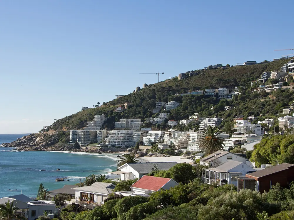
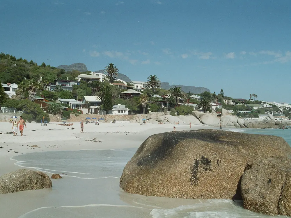
Clifton's beaches

Atlantic Seaboard, Cape Town, Western Cape

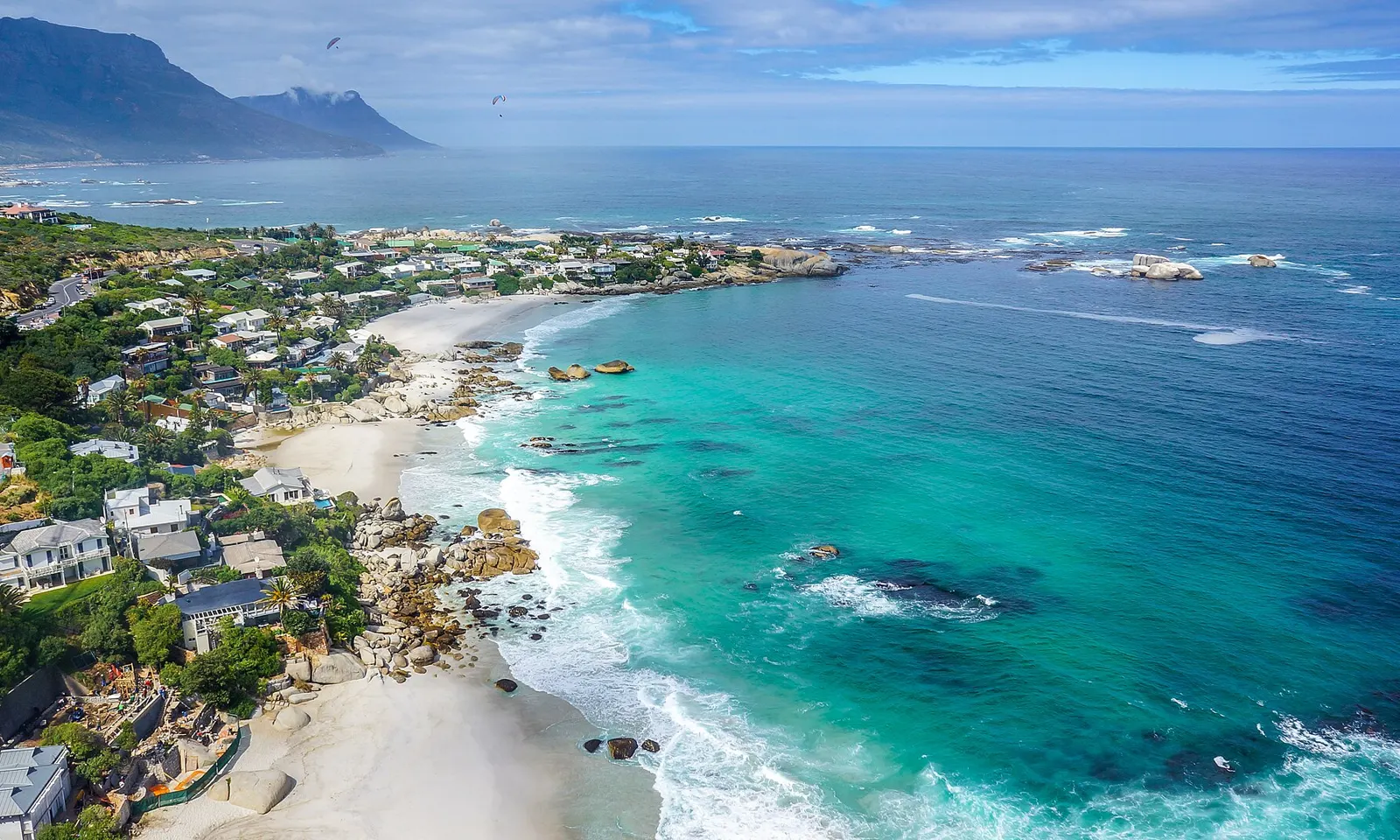
Clifton's white sand coves and turquoise water seen from above, with the mountains behind

Photos: SkyPixels (CC BY-SA 4.0), Warren Rohner (CC BY-SA 2.0), HelenOnline (CC BY-SA 4.0), Lettkow (CC BY-SA 3.0)

Beaches
Four coves, First to Fourth, divided by granite boulders
Water
About 12 to 16 C; below 10 C with summer upwelling
Blue Flag
Clifton 4th, 2025/26 and 2026/27
Lifeguards
Clifton 4th, December to end of March

Why go

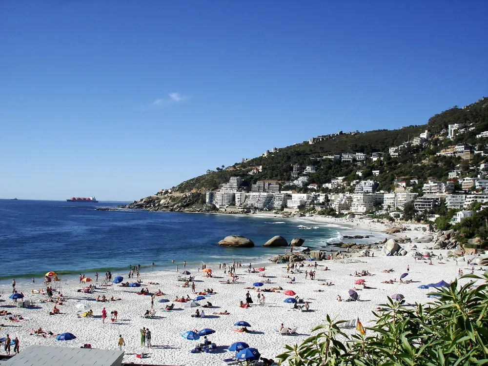
Clifton's beaches lie below Victoria Road on the Atlantic side of Cape Town, between Bantry Bay and Camps Bay, with Lion's Head rising behind them. Groups of granite boulders split the shore into four coves, numbered First to Fourth from north to south, and a fifth, Moses Beach, comes and goes before First Beach as the sand shifts. The sand is almost pure white quartzite. Because Lion's Head throws a wind shadow over them, the Clifton beaches are among the few places on the Cape Town coast that are well protected from the south-easterly wind, so when that wind blows, Clifton is where the city goes to swim.

The route

Each cove has its own character. Fourth Beach is the largest and the most developed, with toilets, cold outdoor showers, umbrella and chair hire and a small parking area, and its calm water and lifeguards make it the cove most people choose for swimming; the City lists a tidal pool there too. Third Beach is smaller and quieter, reached by a steep stairway or by walking along the sand from the others. Second Beach is the youngest crowd, with volleyball and bat and ball games, and First Beach is the quietest and the hardest to reach, better known for surfing and dog walking. The swim itself is short and cold: in through the shore break and out past it, or a few lengths parallel to the beach inside the area the lifeguards are watching.

When to go

The water is cold all year, at about 12 to 16 C, and in summer upwelling can take it below 10 C, so a warm, still day is the time to go. Lifeguards are on duty at Fourth Beach during the Blue Flag season, from December to the end of March, and dogs are not allowed there from November to March. Summer weekends are crowded and the few parking spaces go early.

Getting there

Narrow flights of stairs run down to the beaches from Victoria Road, the coast road between Sea Point and Camps Bay, and the City says there is no disability access to Fourth Beach. Parking on the road above is limited and can be very hard to find in summer, so many people come by taxi or ride-hailing app and walk straight down. MyCiTi buses along the Atlantic coast also stop at Clifton.

Permits and booking

The beaches are free. Clifton 4th was one of Cape Town's eight full Blue Flag beaches for 2025/26 and kept the award for 2026/27, announced at the national Blue Flag ceremony in Hermanus on 9 October 2026; Blue Flag means set standards for water quality, safety, environmental management and education.

How hard it is

Easy in calm conditions, but the cold is the real challenge: at 12 C or below, a long swim needs a wetsuit or real cold water experience. Swim at Fourth Beach while the lifeguards are on duty, and keep away from the boulders when there is swell running.

Where to sleep

Clifton itself is mostly private houses and bungalows. The bungalows between Fourth and Second beaches, first laid out by the City for First World War veterans and once built from the packing cases of imported cars, can only be reached by the stairs. Sea Point and Camps Bay, on either side, have hotels and apartments.

Tips

  • Pack light: every beach is reached by stairs, and the climb back up is the hardest part of the day.
  • If the south-easter is blowing elsewhere in Cape Town, Clifton is usually the sheltered choice.
03 / 10

Boulders Beach, Simon's Town

Table Mountain National Park, Simon's Town, Western Cape

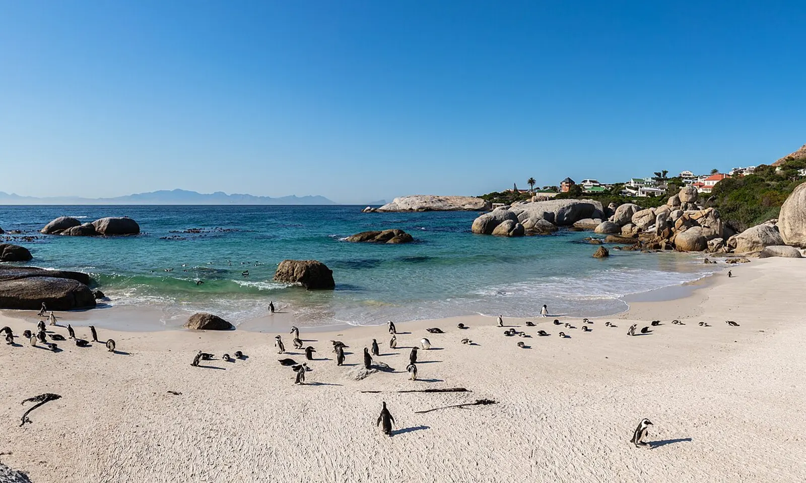
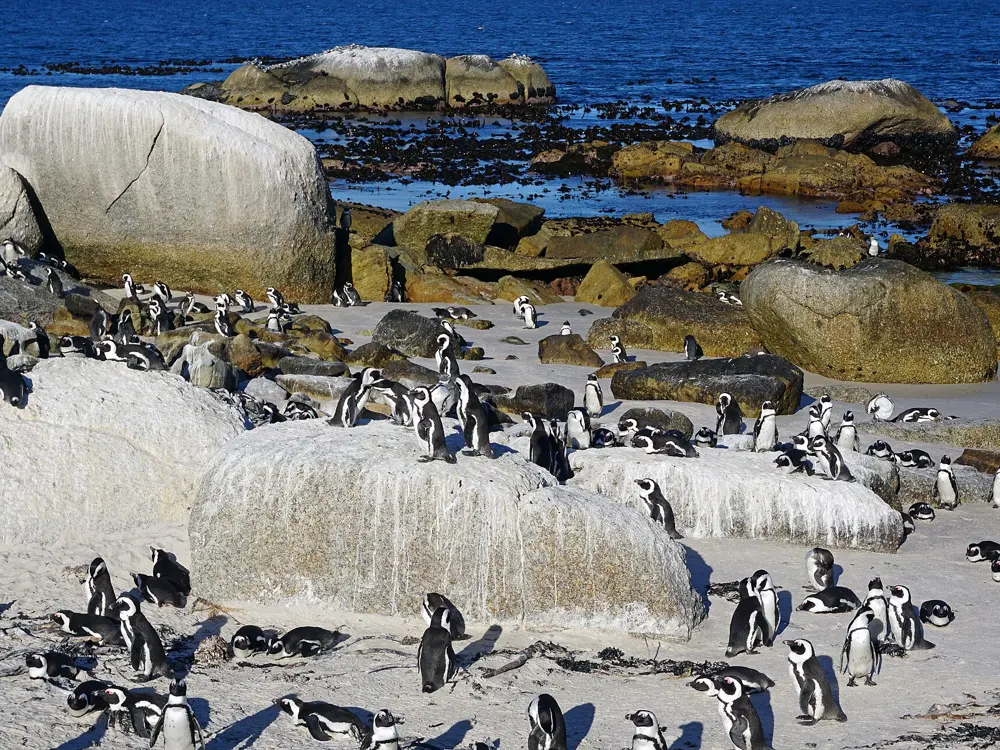
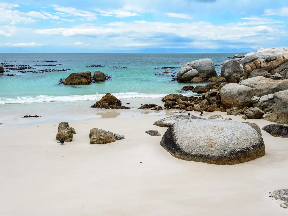
African penguins on the white sand of Boulders Beach, with turquoise water and granite boulders

Photos: Diego Delso (CC BY-SA 4.0), kallerna (CC BY-SA 4.0), dconvertini (CC BY-SA 2.0), Diego Delso (CC BY-SA 4.0)

Penguins
About 3,000, from two pairs in 1982
Water
False Bay about 16 to 22 C in summer
Hours
07:00 to 19:30 in December and January
Fee
R55 SA adults (2025/26); R282 standard rate from 1 Nov 2026

Why go

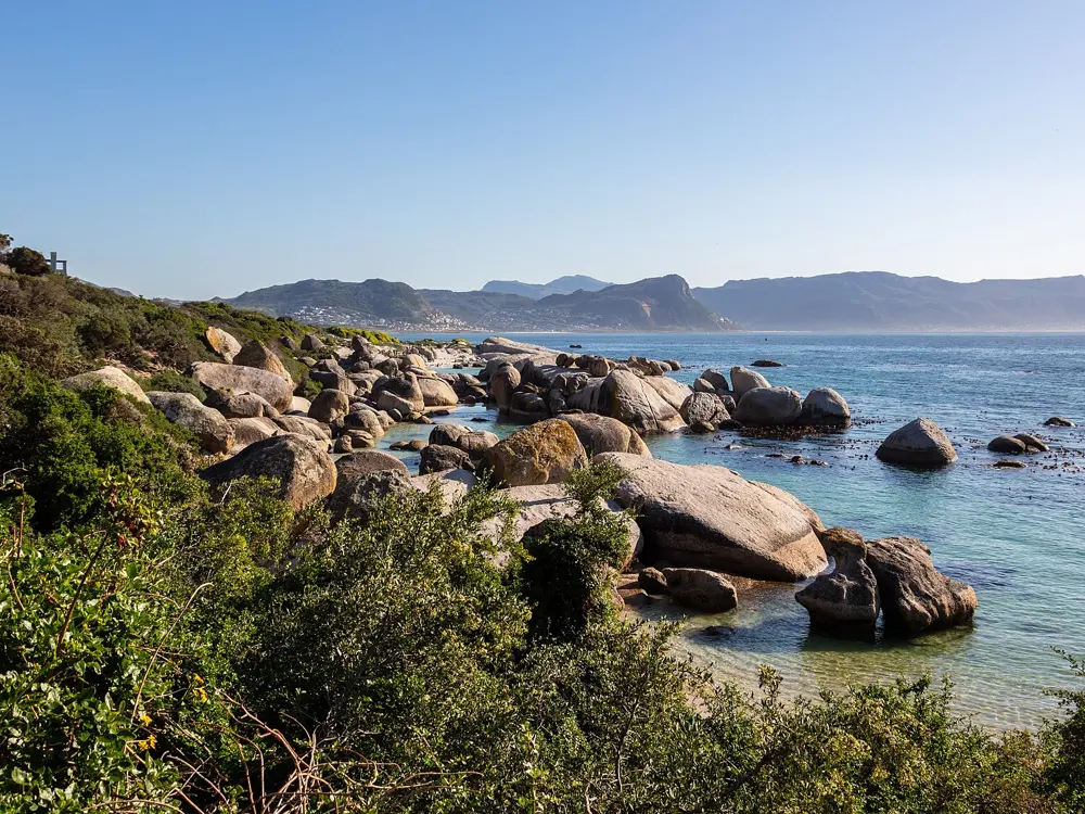
Boulders is a sheltered beach in Simon's Town, on the False Bay side of the Cape Peninsula, made up of small inlets between granite boulders, which gave it its name. It is part of Table Mountain National Park and home to a colony of African penguins that settled here in 1982 with just two breeding pairs and has grown to about 3,000 birds. You swim in clear, calm coves while penguins walk over the rocks beside you, and the beach has been ranked among the world's best: second in the 2024 Golden Beach Awards, and 12th on The World's Best list in 2025, which cited its warm water and safe swimming.

The route

The colony section has two beaches. Foxy Beach, by the main entrance on Kleintuin Road, has the visitor centre and boardwalks over the dunes that bring you within a few metres of the nesting birds. Boulders Beach, a couple of minutes' walk away, is where you swim: small coves of white sand between huge rounded boulders, with shallow, clear water inside them. Swimming is only allowed on the beaches next to the colony, and the penguins use the same sand and water, so a swim here usually means sharing the cove with a few of them. Snorkel along the rocks in the main cove, or swim out to the boulders at its mouth and back.

When to go

The False Bay side of the peninsula is the warm side: City of Cape Town figures put the water at about 16 to 22 C in summer. Opening hours change with the season, from 07:00 to 19:30 in December and January, 08:00 to 18:30 from February to March and from October to November, and 08:00 to 17:00 from April to September. Summer middays are the busiest time, so come at opening.

Getting there

Simon's Town is at the end of the railway line that runs from Cape Town along False Bay through Muizenberg and St James, and the colony's entrance is at 1 Kleintuin Road. By car, it is on the coast road through the town.

Permits and booking

Entry is through the SANParks gate and costs a daily conservation fee for everyone aged 12 and over. Under the 2025/26 tariff, valid to 31 October 2026, South African adults pay R55; international visitors pay more, and SANParks' 2026/27 list, which starts on 1 November 2026, puts the standard adult rate at R282.

How hard it is

Easy: the boulders break the swell, and the water in the coves is shallow and calm, which makes it good for children. It is still the sea, and it is colder than its colour suggests.

Where to sleep

Simon's Town has guesthouses near the beach, and the False Bay villages of St James, Kalk Bay and Muizenberg, with their own guesthouses, are a few stops back up the railway line.

Tips

  • Give the penguins room on the sand and in the water: this is a breeding colony and the birds come first.
  • Stop at the St James tidal pool on the train ride back for a second swim.
04 / 10

Sodwana Bay

iSimangaliso Wetland Park, KwaZulu-Natal

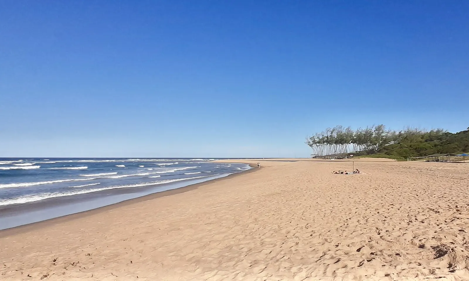
The long empty sand of Sodwana Beach and the Indian Ocean under a clear blue sky

Photos: Bernard DUPONT (CC BY-SA 2.0), Bernard DUPONT (CC BY-SA 2.0), FinlayCox143 (CC BY-SA 3.0), (c) jeyre, some rights reserved (CC BY) (CC BY 4.0)

Distance
Reef complex about 50 km long
Water
Usually above 20 C; up to 29 C in summer
From Durban
About 3.5 to 4 hours by road
Turtle tours
November to January

Why go

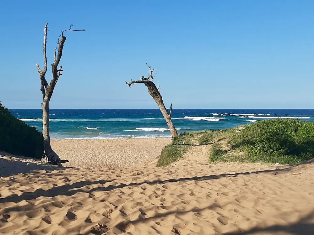
Sodwana Bay is on the coast of northern KwaZulu-Natal, between St Lucia and Lake Sibhayi, inside the iSimangaliso Wetland Park World Heritage Site. Offshore lies a reef complex about 50 km long, built by reef-forming corals, which KZN Parks calls Africa's southernmost coral reefs. The water is usually above 20 C and reaches 29 C in summer, the warmest swimming on this list, and the reefs bring whale sharks, manta rays and turtles. In a submarine canyon far below the dive sites, a resident population of coelacanths was found in November 2000.

The route

For swimmers and snorkellers, the place to start is Jesser Point, where natural rock pools are sheltered from the swell. You go in from the beach at low tide, through one of the pools facing the sand; in the sheltered part the water is never deeper than about 2 m, so it suits children and beginners, while the reef on the far side of the rocks is only for experienced snorkellers in calm seas. Further out, the reefs are named for their distance from Jesser Point. Two Mile Reef, the most popular, runs from 9 m to more than 30 m deep; Four and Five Mile Reefs are about 8 km away, with branching and table corals; Seven Mile is about 11 km north, and Nine Mile, the most northerly reef usually dived, lies at 6 to 21 m. All of them are reached by boat from the beach with the dive operators.

When to go

Diving is good all year, and visibility is best from April to September, at up to about 30 m. Winter is also the least windy season here and the best time for snorkelling. Humpback whales pass in winter and spring, ragged-tooth sharks gather on Quarter Mile Reef in January and February, and loggerhead and leatherback turtles nest on the beaches at night from November to January, when guided turtle tours run.

Getting there

Sodwana is about three and a half to four hours' drive north of Durban, mostly on the N2. King Shaka International Airport is about 35 km north of central Durban, on the way up the coast.

Permits and booking

The entrance gates are open 24 hours and are run by the iSimangaliso Wetland Park Authority; you pay a park entry fee and a community levy at the gate. A permit is needed to scuba dive in any South African marine protected area, and temporary monthly permits may be available from dive shops and boat operators. Driving on the beach needs a 4x4 permit: only 200 are issued a day, and only for weekends, public holidays and peak school holidays, within three hours either side of low tide.

How hard it is

Easy inside the Jesser Point pools at low tide. Outside them the sea can be rough and the conditions change quickly, so ask the lifeguards or park staff before you go in. Sodwana is in a malaria area: take precautions before, during and after your visit.

Where to sleep

Sodwana Bay National Park has self-catering log cabins for four or six people and the Gwalagwala campsites, 33 sites with power points for up to eight people each. Check-in is after 14:00.

Tips

  • Check the tide table before you go: Jesser Point is a low tide snorkel.
  • Book a night turtle tour in November, December or January through the park's concessionaires.
05 / 10

Plettenberg Bay

Garden Route, Western Cape

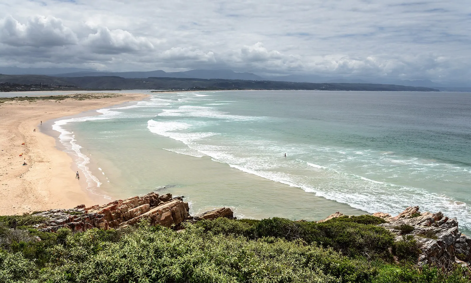
Robberg Beach curving away towards the town of Plettenberg Bay, seen from the rocks of the peninsula

Photos: dconvertini (CC BY-SA 2.0), dconvertini (CC BY-SA 2.0), Ad Meskens You are free to use this picture for any purpose as long as you credit its author, Ad Meskens. Example: © Ad Meskens / Wikimedia Commons If you use this work outside of the Wikimedia projects, a message or a copy is very much appreciated. This image is not in the public domain. A statement such as "From Wikimedia Commons" or similar is not by itself sufficient. If you do not provide clear attribution to the author you do not comply with the terms of the file's license and you may not use this file. If you are unable or unwilling to provide attribution you should contact Ad Meskens to negotiate a different license. (CC BY-SA 4.0), Ad Meskens You are free to use this picture for any purpose as long as you credit its author, Ad Meskens. Example: © Ad Meskens / Wikimedia Commons If you use this work outside of the Wikimedia projects, a message or a copy is very much appreciated. This image is not in the public domain. A statement such as "From Wikimedia Commons" or similar is not by itself sufficient. If you do not provide clear attribution to the author you do not comply with the terms of the file's license and you may not use this file. If you are unable or unwilling to provide attribution you should contact Ad Meskens to negotiate a different license. (CC BY-SA 4.0)

Distance
About 600 km from Cape Town, 210 km from Gqeberha
Blue Flag
Six Bitou beaches, 2025/26
Shark Spotters
Five beaches, since November 2022
Water
About 17 C in July, 20 C in December

Why go

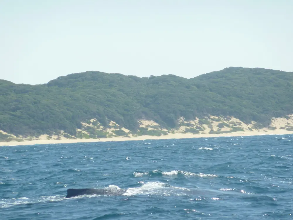
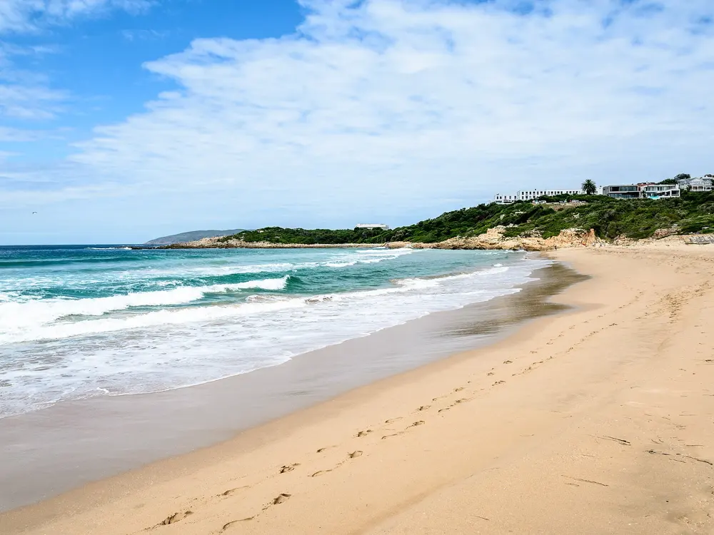
Plettenberg Bay, Plett for short, is the main town of Bitou on the Garden Route, on a wide bay first named Bahia Formosa, the beautiful bay. Its beaches run in a long curve from the Robberg Peninsula, a fynbos reserve with a large Cape fur seal colony, past the town towards the Keurbooms River. Six of Bitou's beaches held Blue Flag status for 2025/26, and the bay is full of life: bottlenose and common dolphins visit, Bryde's whales are there all year, and southern right whales are common from July to December.

The route

Central Beach, in front of the town, is the busiest, with lifeguards on duty in season, and it is where the ski boats launch. Robberg Beach runs from Beacon Island towards the peninsula, and its far end, Robberg 5, is a Blue Flag beach with extra safety cover in the high season. Lookout Beach, also Blue Flag, is watched by Shark Spotters too, and Keurboomstrand beyond it is long and empty. The Keurbooms River and its lagoon are the calm water option, good for paddling and quiet water sports. On the open beaches the swim is in and out through the surf, within the flagged area.

When to go

Monthly averages put the sea at about 17 C in winter and about 20 C in December, so the summer holidays are the time to swim, when lifeguards are on duty. Whales are in the bay from July, so spring is the time for watching rather than swimming.

Getting there

Plett is on the N2 along the Garden Route, about 600 km from Cape Town and about 210 km from Gqeberha. The town's aerodrome has been closed to commercial flights, so most visitors arrive by road.

Permits and booking

No permit is needed. Shark Spotters has watched five of Plett's busiest beaches since November 2022, The Wreck, Robberg 1, Central Beach, The Wedge and Lookout Beach, 365 days a year when the weather allows, from posts such as the Plettenberg Hotel, the Beacon Isle Hotel and the Robberg mountain. When a shark is seen they sound the alarm and lifeguards clear the water: between May 2025 and January 2026 the beaches were closed for a while 40 times, mostly for great white or bronze whaler sightings. The programme's funding was in doubt in late 2025, and in February 2026 Bitou Municipality agreed to pay the spotters' salaries in full.

How hard it is

Moderate. Rip currents are common on the open beaches, and two fatal shark bites in 2022 led to the spotting programme. Swim between the flags at a lifeguarded beach, and get out at once when the alarm sounds.

Where to sleep

The town has hotels and guesthouses close to the sea; the Beacon Isle and The Plettenberg, both used as shark spotter posts, look out over the bay.

Tips

  • Check the day's beach status before you swim: closures for sharks are frequent and usually short.
  • Walk the Robberg Peninsula for the seal colony and the view back over the bay.
06 / 10

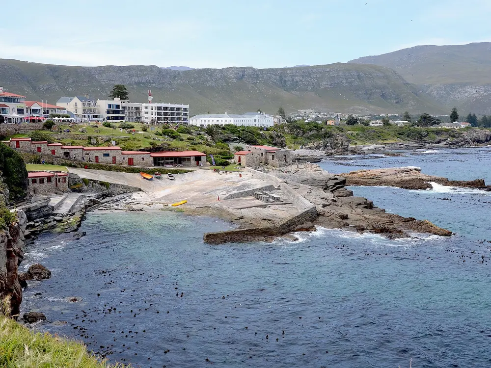
Grotto Beach, Hermanus

Walker Bay, Overberg, Western Cape

Grotto Beach and the Hermanus coastline seen from the air, with the long white beach running towards the mountains

Photos: Olga Ernst (CC BY-SA 4.0), Olga Ernst (CC BY-SA 4.0), Pavel Špindler (CC BY 3.0), Olga Ernst (CC BY-SA 4.0)

Distance
About 115 km from Cape Town
Blue Flag zone
About 250 m, lifeguards 09:00 to 18:00
Blue Flag
24 consecutive years to 2024/25
Whales
From June to early December

Why go

Hermanus is a town on Walker Bay, about 115 km south east of Cape Town, best known for the southern right whales that come into the bay from as early as June and usually leave in early December. Grotto Beach is its largest beach, a wide sweep of white sand that runs for kilometres, with milkwood forest behind it for shade. It had flown the Blue Flag for 24 consecutive years by the 2024/25 season and was on the Western Cape's Blue Flag list again for 2025/26. It overlooks a protected whale sanctuary, which makes it one of the few places where you can swim and watch whales from the same beach.

The route

The swimming is in the Blue Flag zone, about 250 m of beach marked by two blue poles to the east and west of the toilet block, where lifeguards watch the water every day of the season; swim between their red and yellow flags. Away from the zone the beach is long and open, good for a walk along the water's edge after a swim. The rest of the Hermanus coast is rocky, with smaller beaches, coves and tidal pools, among them Voëlklip, Kammabaai and Langbaai, and from the cliffs above them you can watch the whales.

When to go

Lifeguards are on duty from 09:00 to 18:00 every day during the Blue Flag season; at Grotto that means the summer holidays, from December to February. Whales are in the bay from June, so in spring you can watch them from the sand, though the water is cooler then.

Getting there

Grotto Beach is on Grotto Street in Hermanus, about an hour and a half's drive from Cape Town. There is plenty of parking at the beach.

Permits and booking

The beach is free. Alcohol is not allowed on the beaches, and dogs are not allowed on Grotto while the Blue Flag is flying. Beach wheelchairs are available at Grotto for people with disabilities.

How hard it is

Easy to moderate. The flagged zone is the safe place to swim; outside it the beach is open to the swell of Walker Bay, and there are no lifeguards out of season.

Where to sleep

Hermanus has hotels, guesthouses and self-catering houses, many within a short drive of Grotto. The beach itself has a restaurant, toilets, braai areas and an environmental education centre.

Tips

  • Bring binoculars between June and November: the whales often come close inshore.
  • Use the milkwood forest behind the beach for shade in the middle of the day.
07 / 10

Langebaan Lagoon

West Coast National Park, Western Cape

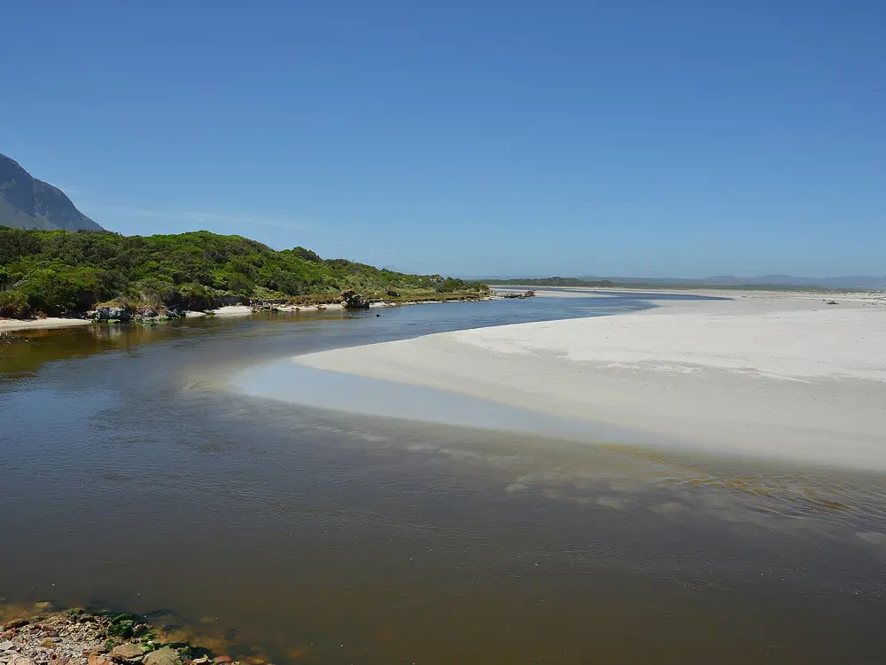
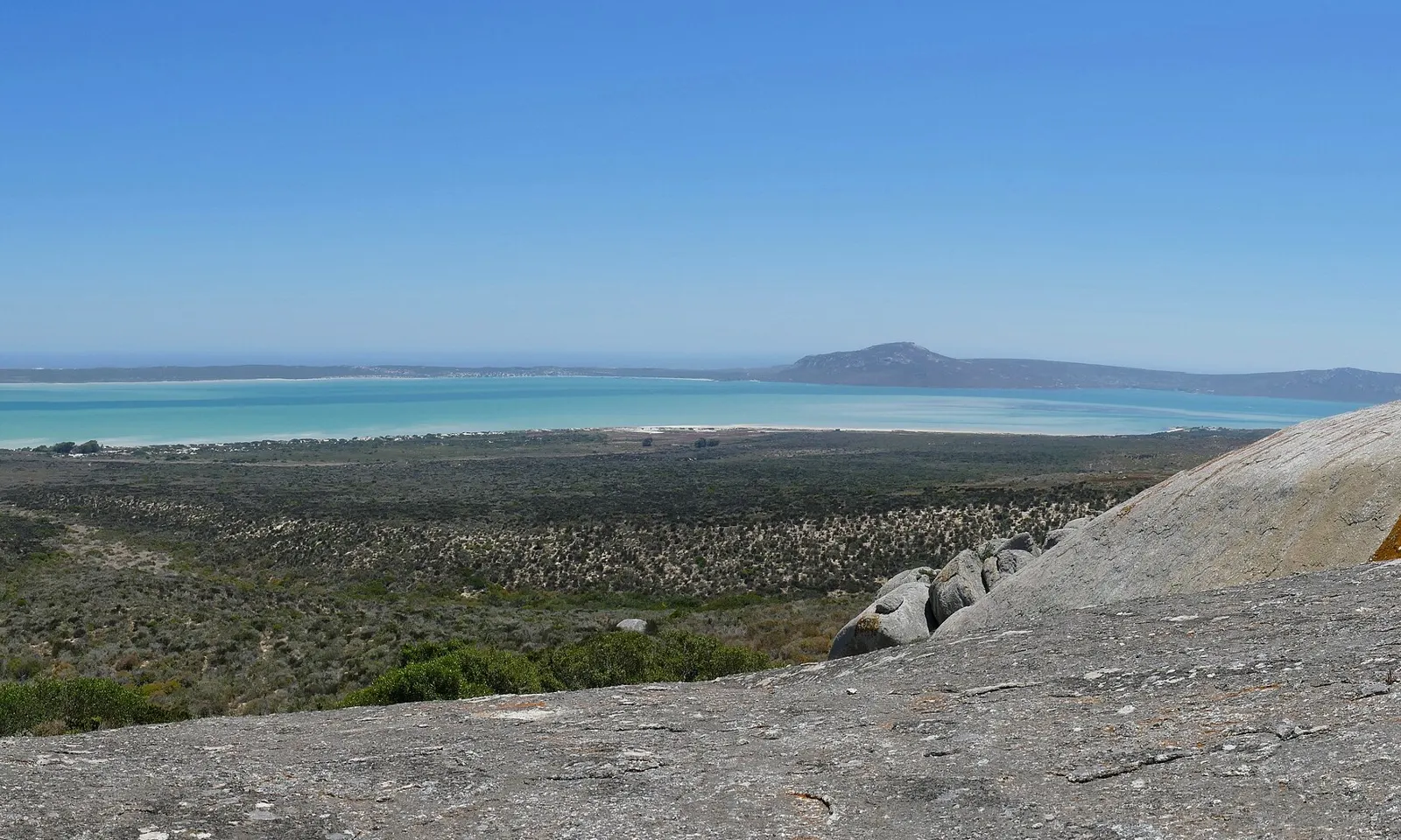
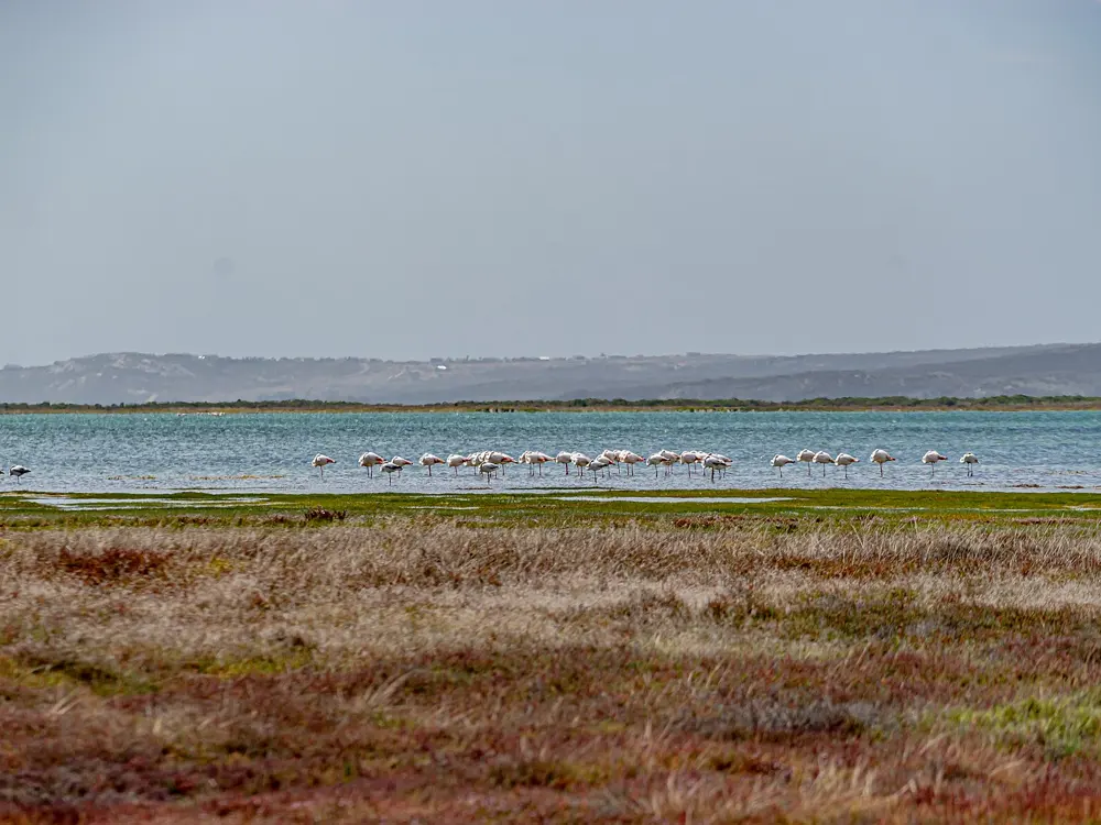
The turquoise water of Langebaan Lagoon beyond the fynbos and granite of West Coast National Park

Photos: Bernard DUPONT from FRANCE (CC BY-SA 2.0), Pipples91 (CC BY-SA 4.0), Nina R from Africa (CC BY 2.0), Aubrey Kilian (CC BY-SA 2.0)

Distance
Lagoon 17 km long, up to 4 km wide
From Cape Town
About 120 km north
Ramsar site
Since 25 April 1988
Postberg
Open 1 August to 30 September

Why go

Langebaan Lagoon reaches 17 km from Saldanha Bay, past the town of Langebaan, to Geelbek, and is up to 4 km wide, with white sand beaches and clear water. No river runs into it, so its salinity stays steady, and since 1985 it has been part of what is now West Coast National Park; it has been a Ramsar wetland of international importance since 1988. On the Atlantic coast north of Cape Town, where the sea is cold, the lagoon's shallow bays are noticeably warmer, and that is what brings swimmers here.

The route

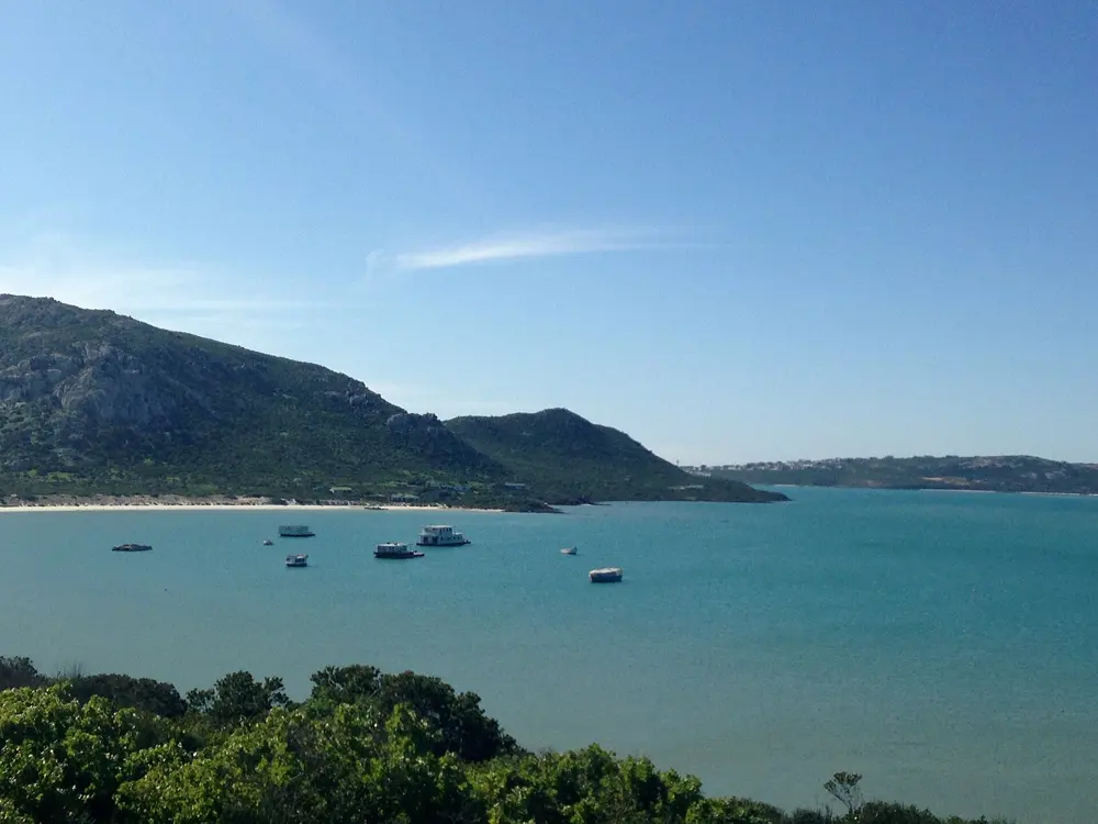
The best swimming is in the park, at Kraalbaai and Preekstoel: calm, shallow water over white sand, much warmer than the Atlantic on the park's western edge. Kraalbaai is also where houseboats are moored on the lagoon. The lagoon is zoned: in the northern controlled zone, near the town, power boats and fishing are allowed; the restricted zone in the middle is for non-powered craft only, with no fishing; and the southern sanctuary zone is closed to all access. In the town itself, the lagoon beaches are the place for a swim, and the lagoon is popular for kitesurfing, sailing and kayaking.

When to go

Summer is the time to swim. August and September are wildflower season, when the Postberg section of the park opens, from 09:00 to 17:00, with daisies down to the sea and eland, bontebok and zebra grazing among them; the conservation fee is higher in those months.

Getting there

Langebaan is about 120 km north of Cape Town, just off the R27, and the park is just over an hour's drive from the city. There is no fuel in the park, so fill up in Langebaan or Yzerfontein. Most park roads are tar or good gravel, fine for an ordinary car.

Permits and booking

The park charges a daily conservation fee, higher in the August and September flower season; published figures differ between sources, so check the current rate with SANParks. Pets are not allowed in the park. Keep out of the southern sanctuary zone.

How hard it is

Easy: the water at Kraalbaai and Preekstoel is calm and shallow, good for children and for people who are not strong swimmers. Stay inside the zones open to the public.

Where to sleep

Kraalbaai's houseboats sleep you on the lagoon itself, from about R5,700 a night in 2026, and need booking well ahead. SANParks has cottages in the park, among them Abrahamskraal, and Langebaan town has holiday houses and the Club Mykonos resort.

Tips

  • Fill up with fuel before you go in; for lunch, the Geelbek restaurant, in a historic Cape Dutch building, serves West Coast dishes such as snoek and mussels.
  • See Postberg's flowers in August or September, and come back in summer for the warmest water.
08 / 10

Santos Beach, Mossel Bay

Garden Route, Western Cape

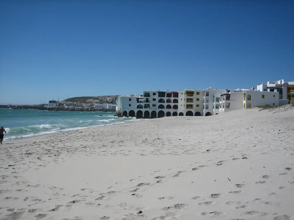
Diaz Beach curving around the bay at Mossel Bay, with apartment blocks at the far end

Photos: user:rcbutcher (Public domain), ZS1TP (CC BY-SA 3.0), M.Uebel (Public domain), Bernard DUPONT from FRANCE (CC BY-SA 2.0)

Distance
Ironman 70.3 swim 1.9 km, Santos to De Bakke
Water
About 20 to 22 C in summer, 13 to 14 C in winter
Lifeguards
09:00 to 18:00, 1 Dec to 2 Feb (2025/26)
From Cape Town
About 400 km

Why go

Mossel Bay is on the Garden Route, about 400 km east of Cape Town and 40 km west of George, where Bartolomeu Dias landed in 1488. Santos Beach, in the middle of the town, is its best-known swimming beach, with sea temperatures of about 20 to 22 C from November to March. From 2027 it is also the swim start of South Africa's main Ironman: the full-distance Ironman South Africa African Championship moves here from Nelson Mandela Bay, with the race on 18 April 2027 and the swim starting and finishing at Santos Beach and the De Bakke resort.

The route

The classic swim already exists: the Ironman 70.3 Mossel Bay swim, held here since 2022, is 1.9 km, from opposite the Santos Beach Pavilion to an exit at De Bakke. Outside race days, swim along the same stretch inside the lifeguards' flags. The rocks around Santos have rock pools and oyster beds, and the Point has a tidal pool with lifeguards in the holidays. East of town, Hartenbos, De Bakke, Little Brak River and Glentana were the municipality's full Blue Flag beaches for 2025/26, and the Hartenbos River lagoon is a calm spot for children.

When to go

October to February is the best time to visit, with the warmest water from November to March; June to August is the rainy season, when the sea drops to about 13 to 14 C. Southern right whales shelter in the bay from May to October and are often seen from the beach. Lifeguards were on duty every day from 09:00 to 18:00 at the main beaches from 1 December 2025 to 2 February 2026.

Getting there

Mossel Bay is on the N2, about 400 km from Cape Town and the same distance from Gqeberha, and George is 40 km to the east. Santos is in the middle of town, with easy access to shops, restaurants and historic sites.

Permits and booking

The beaches are free. The municipality warns that Dana Bay is not suitable for swimming because of dangerous currents, and that lifeguards are not always on duty, so swimming is at your own risk.

How hard it is

Easy at Santos and the other main beaches in season, between the flags. Out of the holiday season the lifeguards are not on duty, so keep to calm days and stay near the shore.

Where to sleep

The Santos Express, a train converted into backpackers' rooms, stands about 30 m from the sea at Santos. The town also has four municipal caravan parks, hotels and B&Bs.

Tips

  • Check the race calendar: the Ironman swims use the water off Santos on race days.
  • Keep to the lifeguarded beaches; Dana Bay looks inviting but has dangerous currents.
09 / 10

Durban's Golden Mile

Durban, KwaZulu-Natal

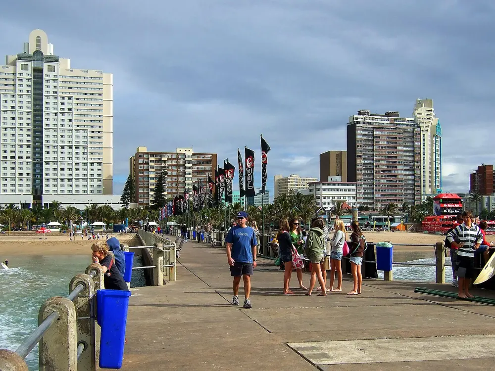
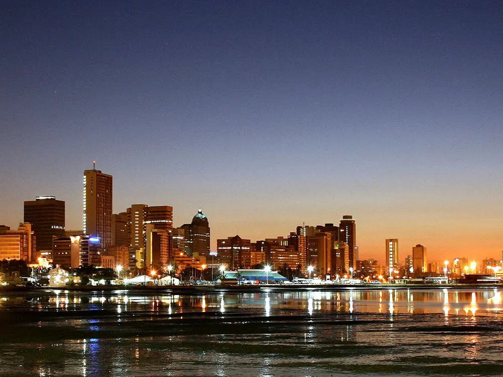
Durban's Golden Mile from above, the beach curving north past hotels and palm trees

Photos: Chris Bloom from Durban, South Africa (CC BY-SA 2.0), Chris Bloom from Durban, South Africa (CC BY-SA 2.0), Chris Bloom from Durban, South Africa (CC BY-SA 2.0), Marc Forrest (CC BY 2.0)

Distance
Airport about 35 km north of the city
Bathing beaches
23 in eThekwini
Shark protection
Sharks Board, 37 KZN beaches
Season
Warm and sunny most of the year

Why go

Durban's beachfront, the Golden Mile, runs from uShaka Beach at the Point Waterfront north to the Suncoast Casino, a line of wide golden beaches divided by piers, with a promenade along them for walking, running and cycling. The sea is the warm, subtropical Indian Ocean, and the city is warm and sunny most of the year, even in winter. Most of the beaches are protected all year by lifeguards and shark nets, and beacons mark the safe bathing areas.

The route

Each beach between the piers has its own use. South Beach is good for beginner surfers and Addington is calmer; North Beach is known for its sunrises and warm water, and North Beach, Dairy Beach, Bay of Plenty, Snake Park, Pirates and Country Club are the popular surfing beaches. Swim inside the area marked by the beacons and watched by lifeguards, between the piers, rather than in the surf zones. Early morning is the time for a long swim parallel to the shore before the crowds arrive, followed by a walk or run on the promenade.

When to go

Any time of year. The festive season in December and January is the busiest, when the City puts a full complement of lifeguards at its priority swimming areas. Water quality is the thing to watch: closures for E. coli are common, as in December 2025, when Blue Lagoon, eThekwini Beach, Country Club and Battery beaches were shut, and on 21 January 2026, when Country Club and Reunion were closed and the other 21 beaches stayed open. In early February 2026 all 23 bathing beaches met the standards.

Getting there

King Shaka International Airport is at La Mercy, about 35 km north of central Durban, and shuttles link it with the beachfront and Umhlanga hotels.

Permits and booking

No permit or fee is needed. The KwaZulu-Natal Sharks Board protects 37 beaches between Richards Bay and Port Edward; the nets and drumlines are controversial, because they also kill sharks. eThekwini did not apply for Blue Flag status in 2023/24 and in December 2025 said it was working towards it again.

How hard it is

Easy to moderate inside the bathing areas. The NSRI says strong rip currents cause most drownings on this coast and that a rip can look calm, so swim only at lifeguarded beaches, between the flags.

Where to sleep

Hotels and apartments line the Golden Mile, and Umhlanga, north of the city, has more along its own beachfront.

Tips

  • Check eThekwini's beach status on the morning you swim: closures for water quality change from day to day.
  • Swim where the beacons are; the beaches south of the harbour are not netted.
10 / 10

Kings Beach and the Gqeberha beachfront

Algoa Bay, Nelson Mandela Bay, Eastern Cape

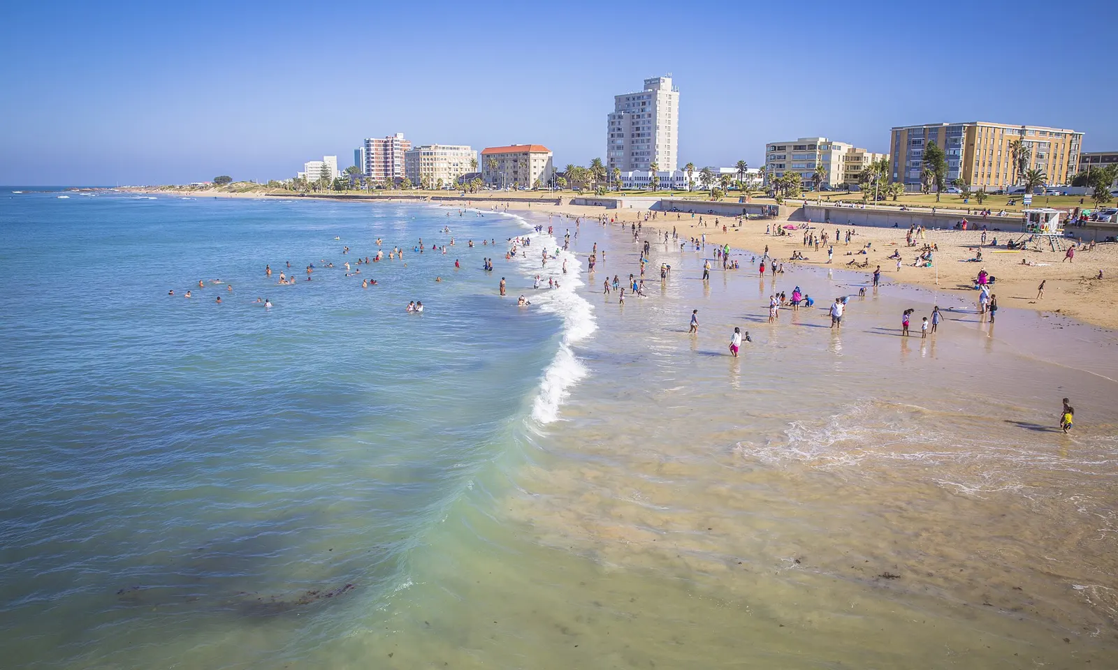
Swimmers in the shallow water off the Gqeberha beachfront, with hotels and apartments along the bay

Photos: Diriye Amey from Locarno, Switzerland (CC BY 2.0), South African Tourism from South Africa (CC BY 2.0), ZA-PE-strand-pano-1.jpg: Bgabel derivative work: Pbsouthwood (CC BY-SA 3.0), Diriye Amey from Locarno, Switzerland (CC BY 2.0)

Distance
Kings Beach 1.6 km long
Water
Up to about 23 C in summer, about 16 C in winter
Blue Flag
Kings, Humewood and Hobie (2025/26)
From Cape Town
About 770 km

Why go

Gqeberha, called Port Elizabeth until 2021, is on the western side of Algoa Bay, and its beaches face the bay rather than the open ocean. It has six swimming beaches, from Bluewater Bay to Sardinia Bay, and its beaches have held Blue Flag status since 2001; for 2025/26, Kings, Humewood and Hobie were all awarded full Blue Flag status. The water reaches about 23 C in summer, and for 21 years this was the home of Ironman South Africa, whose swim was held in the bay.

The route

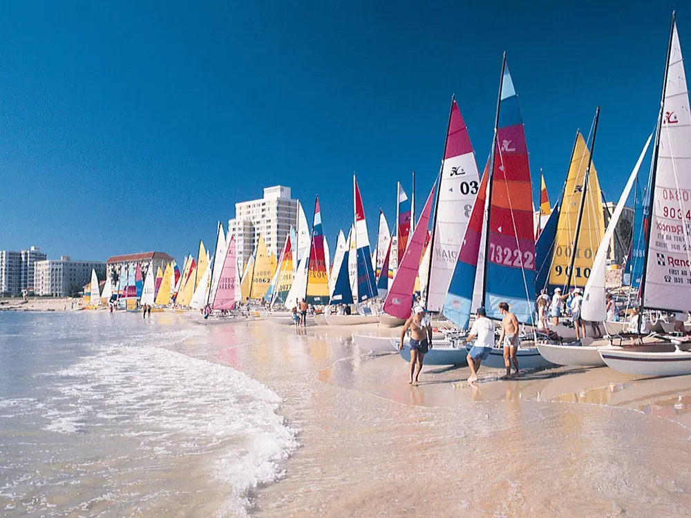
Kings Beach is 1.6 km of golden sand running from the harbour wall to Humewood, with lifeguards in season and the McArthur Baths on the promenade: two open-air pools and a large exercise pool, open every day from September to April. Humewood, next along, is quieter, with more shade. Hobie Beach, beside Shark Rock Pier, is the family beach, with pools forming under the pier at low tide where you can look for starfish and octopus. On 19 April 2026, 822 athletes started the Ironman African Championship's 3.8 km swim at Hobie Beach; from 2027 the full-distance race moves to Mossel Bay, and the bay hosts the shorter 70.3 African Championship instead.

When to go

December to March is the warmest time for the sea, and lifeguards are on duty at Humewood during the Blue Flag season, from November to April. Gqeberha is called the Windy City, and the afternoon south-westerly is the reason: swim in the morning, when the bay is usually calmer.

Getting there

Chief Dawid Stuurman International Airport serves the city, and the beachfront runs along the bay through Humewood and Summerstrand, close to the Boardwalk complex. Gqeberha is about 770 km east of Cape Town by road.

Permits and booking

The beaches are free. Bluewater Bay and Wells Estate are Blue Flag pilot beaches, working towards full status.

How hard it is

Easy at the lifeguarded beaches, Kings, Humewood, Hobie and Wells Estate, between the flags. Sardinia Bay, outside the city in a marine reserve, is beautiful but not safe for swimming.

Where to sleep

Summerstrand, the beachfront suburb, has hotels and apartments along the bay, close to Hobie Beach and the Boardwalk.

Tips

  • Go early: by mid afternoon the south-westerly is usually blowing.
  • Walk at Sardinia Bay, but save your swim for the beaches in town.

Sources

Distances, heights, seasons and permit rules were checked against these pages. Rules change, so check the park or trail authority before you go.