Rungs Labs

Rungs Pilgrimage · Swimming · India

The 10 Best Places to Swim in India

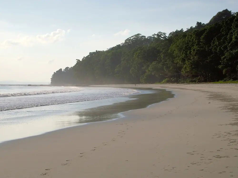
Radhanagar Beach, Swaraj Dweep, Swaraj Dweep (Havelock Island), Andaman and Nicobar Islands. Photo: Vinayaraj (CC BY-SA 4.0)

India has a long coast, but much of it faces open ocean with strong surf and rip currents, and in the monsoon the sea is closed to swimmers along most of it. The best swimming is where the water is sheltered: the coral lagoons of Lakshadweep, the white beaches of the Andaman Islands, the bays of Goa and Kerala, and a handful of beaches with the Blue Flag, the international label for clean water, lifeguards and a marked swimming zone. Inland, the clearest water in the country runs through the Umngot River in Meghalaya.

These ten run from Radhanagar and Shaheed Dweep in the Andamans and the lagoons of Agatti and Bangaram to Palolem in Goa, Kovalam in Kerala, Gokarna in Karnataka and Tarkarli in Maharashtra, and round to Rushikonda in Andhra Pradesh, Puri in Odisha and the Umngot in the northeast. For each one you get the swims, the season, how to get there, the permits and rules, how hard it is and where to stay. Every fact comes from state tourism bodies, local newspapers and the other pages linked at the bottom.

Updated 2026-10-19

  1. 01Radhanagar Beach, Swaraj DweepSwaraj Dweep (Havelock Island), Andaman and Nicobar Islands
  2. 02The lagoons of Agatti and Bangaram, LakshadweepAgatti and Bangaram atolls, Lakshadweep
  3. 03Bharatpur Beach, Shaheed DweepShaheed Dweep (Neil Island), Andaman and Nicobar Islands
  4. 04Palolem BeachCanacona, South Goa
  5. 05KovalamThiruvananthapuram, Kerala
  6. 06Kudle and Om Beach, GokarnaGokarna, Uttara Kannada, Karnataka
  7. 07The Umngot River at Dawki and ShnongpdengWest Jaintia Hills, Meghalaya
  8. 08TarkarliMalvan, Sindhudurg, Maharashtra
  9. 09Rushikonda BeachVisakhapatnam, Andhra Pradesh
  10. 10Golden Beach, PuriPuri, Odisha
01 / 10

Radhanagar Beach, Swaraj Dweep

Swaraj Dweep (Havelock Island), Andaman and Nicobar Islands
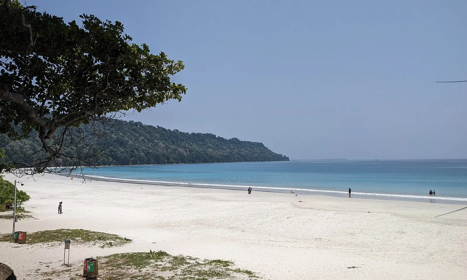
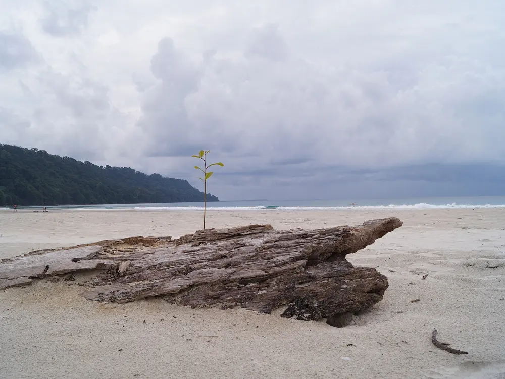
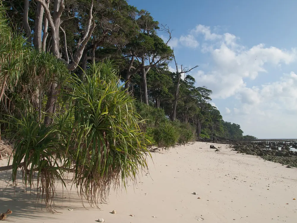
Radhanagar Beach on Swaraj Dweep, a wide curve of white sand and turquoise water with a forested headland beyond

Photos: Vinayaraj (CC BY-SA 4.0), Vyacheslav Argenberg (CC BY 4.0), Vinayaraj (CC BY-SA 4.0), La Vacanza Travel Private Limited (CC BY-SA 4.0)

Distance
About 12 km from Swaraj Dweep jetty
Beach
About 2 km of sand
Blue Flag
Awarded in 2020
Lifeguarded swimming
9 am to 5 pm (2022 report)

Why go

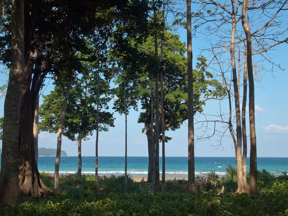
Radhanagar, also known as Beach No. 7, runs for about 2 km along the west coast of Swaraj Dweep, the island most people still call Havelock. The sand is white, the water is a clear turquoise and the forest comes right down to the top of the beach. Time magazine named it the best beach in Asia in 2004, and it was given the Blue Flag, the international eco-label for clean, safe and well-run beaches, in 2020. The Andaman and Nicobar tourism directorate lists it first among the islands' swimming beaches, ahead of Bharatpur on Shaheed Dweep and Corbyn's Cove near Sri Vijaya Puram.

The route

This is a beach for long, easy swims parallel to the shore. The waves are usually gentle, and the Tourism Department posts lifeguards who watch the swimming area. There are no jet skis or banana boats here: the directorate sends those to Elephant Beach, on the island's northwest coast, which is also its pick for snorkelling and is reached by boat from the jetty or on foot through the forest. Elephant Beach was closed for a time in May 2025 after a crocodile was seen there, so check that it is open before you go.

When to go

The islands are dry in the northeast monsoon and very wet in the southwest monsoon. Travel guides put the season at October to May, and say water activities are restricted from June to September because of strong currents and poor visibility. A 2022 report gave the lifeguarded swimming hours as 9 am to 5 pm; one visitor guide says the beach opens at 6 am. The directorate also names Radhanagar as one of the best places in the islands to watch the sunset.

Getting there

Swaraj Dweep is 41 km northeast of Sri Vijaya Puram (Port Blair). Government ferries run two or three times a day, and private operators including Makruzz, Green Ocean, Nautika and ITT Majestic also sail. Since 9 March 2026 a daily evening government ferry has left Sri Vijaya Puram at 5 pm and reached Swaraj Dweep at 7.15 pm. From the jetty, Radhanagar is about 12 km by car or government bus.

Permits and booking

No permit is needed for the beach. Foreign visitors no longer need a Restricted Area Permit arranged in advance, but they must show their passport at immigration at Sri Vijaya Puram's airport or port; citizens of Afghanistan, China and Pakistan still need one. Swimming can be stopped at short notice: forest officials have closed the water at Radhanagar until further notice after a crocodile was seen at the far end of the beach. In May 2025 the forest chief said there is no blanket ban on swimming in the islands, only in Marine National Parks and where crocodiles have been reported.

How hard it is

Easy in calm weather, but not without currents. In August 2022 lifeguards pulled a father and son out after a current carried them away and they could not stay afloat. Swim where the lifeguards can see you.

Where to sleep

Swaraj Dweep has a range of places to stay, up to luxury beach resorts. Staying on the island, rather than coming over for the day, gives you the whole of the lifeguarded hours on the beach.

Tips

  • Saltwater crocodiles live in the islands' mangroves: do not swim near mangroves or creek mouths, and ask the lifeguards before you go in.
  • If the water is closed, stay out: officials reopen it once they have confirmed the crocodile has left.
02 / 10

The lagoons of Agatti and Bangaram, Lakshadweep

Agatti and Bangaram atolls, Lakshadweep

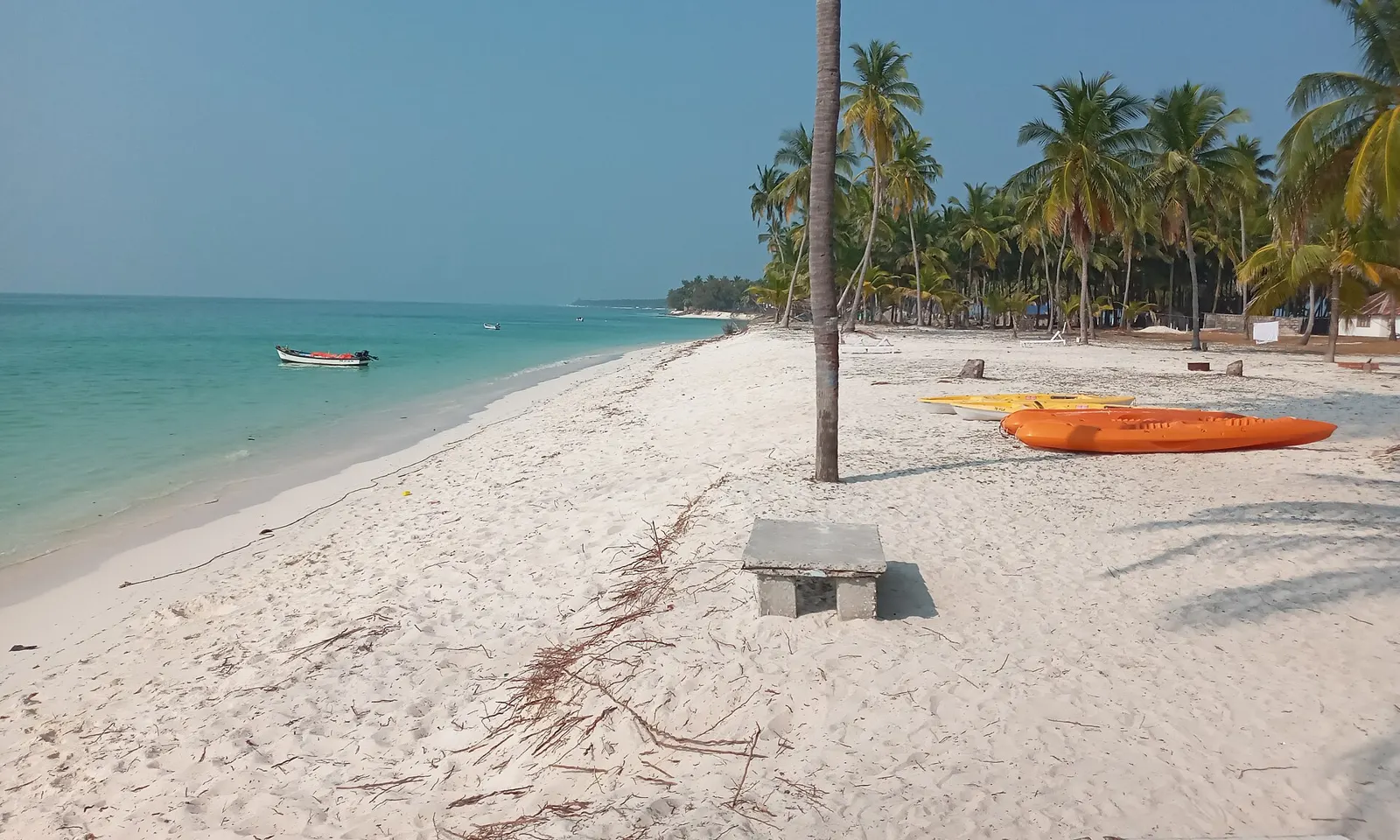
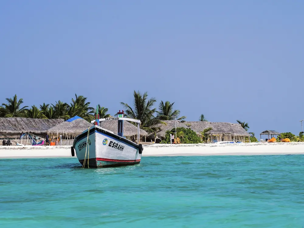
Anthan Beach on Agatti, white sand, palm trees and kayaks beside a pale turquoise lagoon

Photos: Rudolph.A.furtado (CC BY 4.0), https://www.flickr.com/photos/binux/ (CC BY-SA 2.0), The.chhayachitrakar (CC BY-SA 4.0), Lenish Namath (CC BY-SA 3.0)

Distance
About 459 km west of Kochi
Flight
About 1 hour 15 minutes from Kochi
Agatti lagoon
24.84 square kilometres
Bangaram lagoon
36 square kilometres

Why go

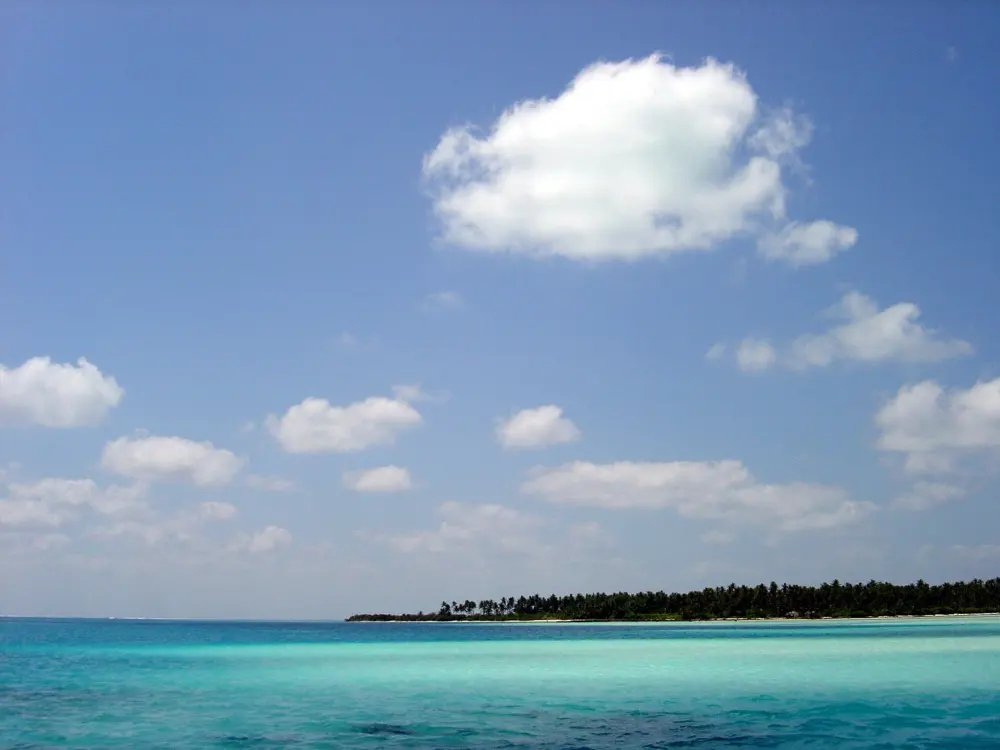
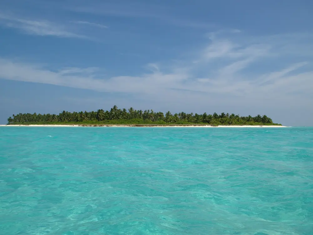
Lakshadweep is India's coral archipelago in the Arabian Sea, and its atolls are mostly lagoon: a ring of reef, a few low islands of sand and palms, and a wide sheet of shallow, sheltered water inside. Agatti is the way in, with the territory's only airport, and its lagoon covers almost 25 square kilometres. Bangaram, about 7 km to the northeast across a shallow ridge of reef, has a larger lagoon still, 36 square kilometres inside an atoll about 8 km long. Two other beaches in the territory, Thundi on Minicoy and Kadmat, were given the Blue Flag in October 2022, with staff assigned to keep them clean and to keep swimmers safe.

The route

Swimming here means the lagoon: clear, shallow water over sand and coral, protected by the reef from the open sea. Snorkelling, scuba diving and kayaking are the other things people come to Agatti for. Bangaram's atoll is described as a calm lagoon with a clear coral reef. If your permit covers them, Thundi on Minicoy is known for its lagoon and is popular with swimmers, and Kadmat draws cruise visitors for water sports.

When to go

The Lakshadweep Administration gives the best time to visit as September to May, with December to February the peak, and temperatures between 22 and 36 degrees. The monsoon rains come from June to August, when the seas are very rough and tourism largely stops.

Getting there

Alliance Air flies daily from Kochi to Agatti; the flight takes about 1 hour 15 minutes. Seven passenger ships also sail between Kochi and the islands, taking 14 to 20 hours. Bangaram is about 7 km from Agatti. Check the current schedule before you book, since times change.

Permits and booking

Everyone who is not a resident needs an Entry Permit from the Lakshadweep Administration, applied for through its online portal, and it is only issued if you have a confirmed place to stay. A May 2026 report says the rules were simplified: no local sponsor is needed, police checks now happen after you apply, and applications can be made 14 days ahead; every island you plan to visit must be named on the application. Foreign visitors need an Indian tourist visa, and guides disagree on which islands are open to them: Agatti and Bangaram appear on every list, Kadmat on some.

How hard it is

Easy inside the lagoons, which are shallow and sheltered. Outside the reef the sea is open ocean, so stay inside it unless you are with a dive or boat operator.

Where to sleep

Agatti has two resorts, Agatti Island Beach Resort and Sea Shells Beach Resort. Bangaram had a resort of 60 cottages from 1974, and a new one is being built on Thinnakara, in the same atoll, by owners from Agatti.

Tips

  • Apply for the permit early and list every island, since a change later needs a permit modification.
  • A road runs through Agatti, and you can rent a bicycle to get between the beaches.
03 / 10

Bharatpur Beach, Shaheed Dweep

Shaheed Dweep (Neil Island), Andaman and Nicobar Islands
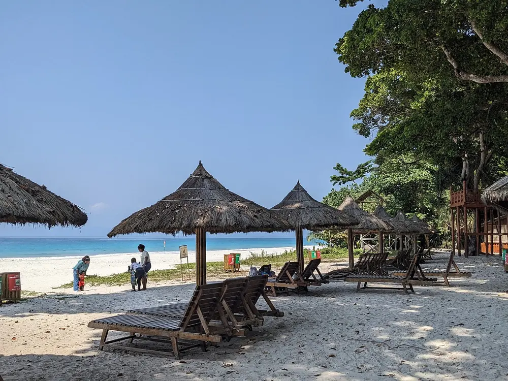
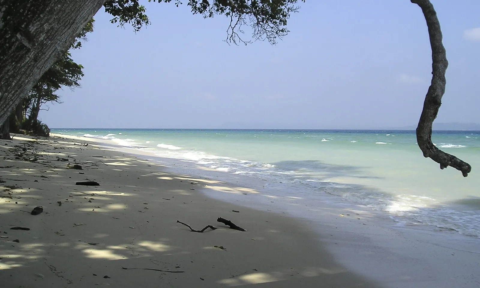
Clear turquoise water and pale sand along a beach on Shaheed Dweep, framed by an overhanging branch

Photos: Buiobuione (CC BY-SA 4.0), Biswajit Majumdar (CC BY-SA 3.0), Vyacheslav Argenberg (CC BY 4.0), Vyacheslav Argenberg (CC BY 4.0)

Distance
About 500 m from the jetty to Bharatpur Beach
Island
13.7 square kilometres
From Sri Vijaya Puram
36 km by sea
Ferry from Swaraj Dweep
About 70 minutes on the morning government boat

Why go

Shaheed Dweep, still widely known as Neil Island, is a small island between Swaraj Dweep and Rose Island, with about 3,000 people in five villages. It is quieter than its neighbour, small enough to cross by bicycle in minutes,. Bharatpur Beach, a short walk from the jetty, has shallow water that is good for swimming, and the tourism directorate lists it with Radhanagar as one of the islands' swimming beaches. The other beaches each have their hour: Sitapur for sunrise, Laxmanpur for sunset, and the Natural Bridge, a rock arch cut by the sea.

The route

Swim at Bharatpur, where the water is shallow and lagoon-like and there are no corals or hard rocks on the beach itself. Glass-bottom boats go out over the reef from here for rides of about 15 minutes; guides quote between 500 and 800 rupees. The island's dive sites include Bus Stop, for beginners, Jetty Channel Marker, a shallow fringing reef, Margherita's Mischief, where dugongs are sometimes seen, and K-Rock, with schools of fusiliers and trevallies. At low tide you can walk out on the reef near the Natural Bridge and see live coral and sea cucumbers.

When to go

Guides give the season as October to April or October to May, outside the southwest monsoon, when the islands are very wet. Opening hours given for Bharatpur range from 5 or 6 am to 5.30 or 6 pm, and one guide advises arriving before 5 pm because the shops close early.

Getting there

Government ferries run daily from Sri Vijaya Puram, and passenger ferries also connect with Swaraj Dweep, so the two islands are easily combined; private boats call too. On the government timetable from 9 March 2026, the morning boat leaves Swaraj Dweep at 5.30 am, reaches Shaheed Dweep at 6.40 am and goes on to Sri Vijaya Puram by 8.45 am. Bharatpur Beach is about 500 m from the jetty, an easy walk.

Permits and booking

No permit is needed for the beach. Foreign visitors show their passport on arrival at Sri Vijaya Puram rather than applying for a Restricted Area Permit in advance, though citizens of Afghanistan, China and Pakistan still need one. Swimming is restricted in Marine National Parks and where crocodiles have been reported.

How hard it is

Easy: shallow, sheltered water close to the shore. The tide changes the depth and the width of the beach, so ask the boat operators where the swimming limits are before you go in.

Where to sleep

The tourism directorate names eco-resorts among the island's draws, and the island it is quiet enough at night for star gazing from Laxmanpur and Sitapur.

Tips

  • Rent a bicycle: the directorate says the island is about 5 km long, and the main beaches are minutes apart.
  • Go to the Natural Bridge at low tide, when the reef is exposed and you can walk out.
04 / 10

Palolem Beach

Canacona, South Goa

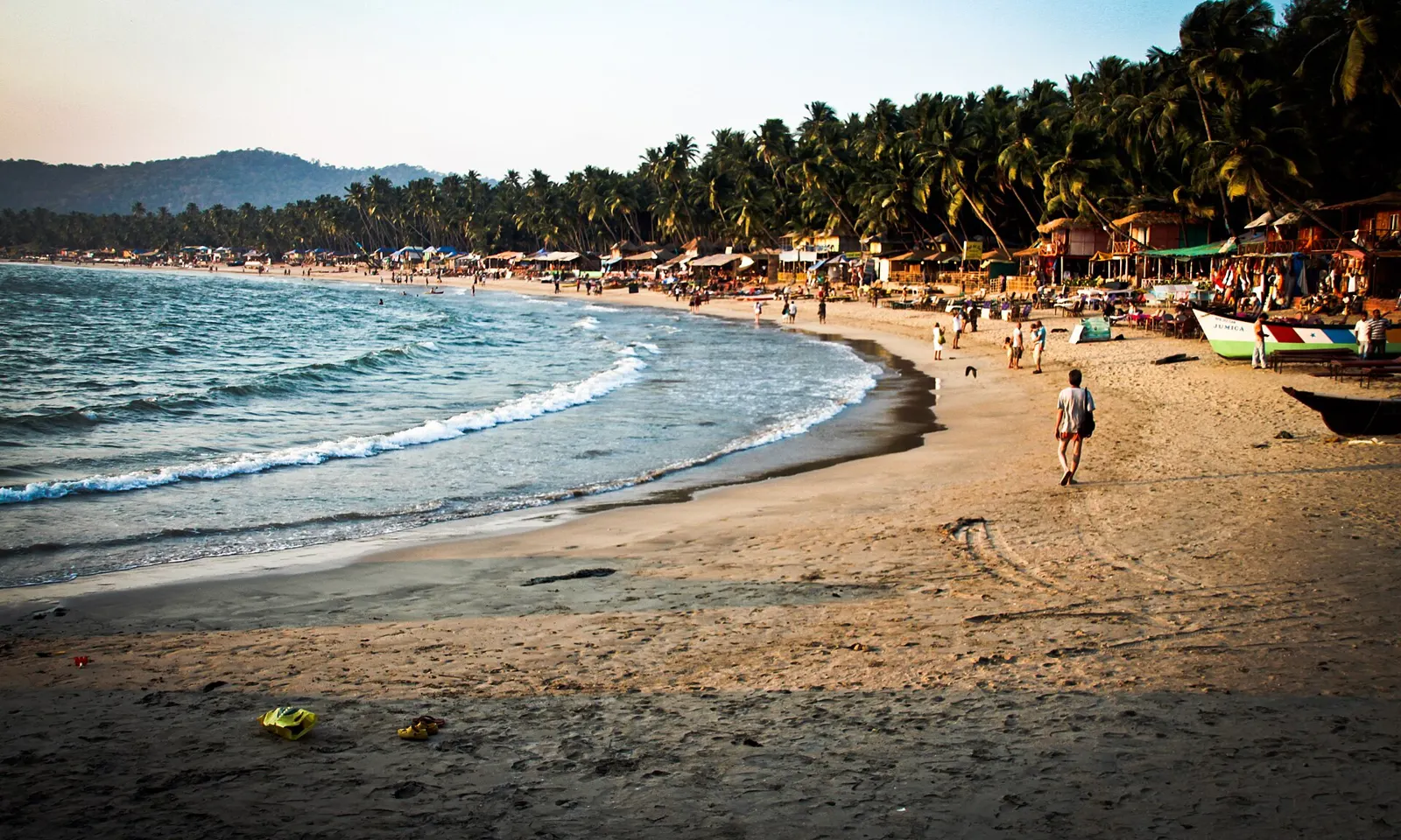
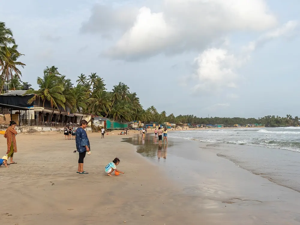
The curve of Palolem Beach in South Goa, with waves breaking on the sand and palm trees and shacks behind

Photos: Nico Crisafulli from USA (CC BY 2.0), Alexandre Ultré (CC BY-SA 3.0), iMahesh (CC BY-SA 4.0), Moshikiran (CC BY-SA 4.0)

Distance
About 1.6 km of beach
Lifeguards
Drishti Marine, the state's lifesaving service
Sea swimming
Prohibited in the monsoon
From Margao
About 40 minutes

Why go

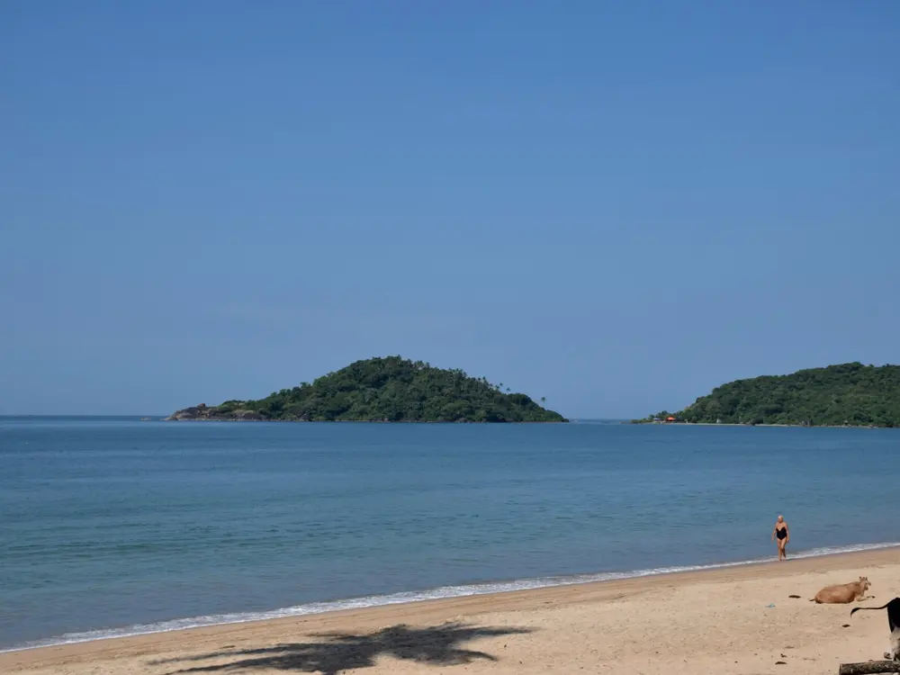
Goa has dozens of beaches, and Palolem, in Canacona at the far south of the state, is one of the best for swimming. It is a crescent about a mile long, with palms behind it, and from either end you can see all of it. The sea deepens gradually, the currents are not fast, and the northern end, where the water is shallowest, is safe for an average swimmer. Drishti Marine, the agency that runs Goa's lifesaving service, keeps a team on the beach, and it has marked the beach front into safe and dangerous stretches.

The route

Swim along the bay inside the zones the lifeguards mark, staying towards the shallow northern end if you want the gentlest water. One report described 23 Drishti lifeguards, including a captain, covering a 1.7 km stretch of the beach. A women-only swimming zone was once marked on the southern side, first over 100 m and later cut to about 30 m after complaints; ask on the day whether it is still there. Kayaks go out on the bay too.

When to go

Go between the end of the monsoon and the next one. During the monsoon, swimming in the sea, coastal water sports and fishing are all prohibited along Goa's coast, and red flags go up along the beaches; one travel guide gives the period as 1 June to 30 September. In June 2026 Drishti said it had more than 450 lifesavers and beach marshals on 54 beaches, 30 of them in South Goa, and warned people to stay out of the water even along the shoreline in the monsoon.

Getting there

The nearest railway station is Canacona, about 30 minutes from Madgaon Junction, and Palolem is within 2.5 km of Chaudi, the market town. By road it is about 40 minutes from Margao, South Goa's district headquarters.

Permits and booking

No permit or fee is needed to swim. In the monsoon the sea is closed by order, and at other times you are expected to follow the flags, signs and instructions of the lifesavers.

How hard it is

Easy at the northern end in season. Currents still catch people: lifesavers have pulled out three swimmers aged 22 to 24 who were carried off by a current on a short swim, and two kayakers whose boat filled with water off the beach.

Where to sleep

Visitors stay in the huts and shacks along the shore or in the village behind the beach, among the fishing families who live there.

Tips

  • Swim close to a lifeguard post and keep to the stretch they mark as safe.
  • Do not go in under a red flag, and in the monsoon do not go in at all.
05 / 10

Kovalam

Thiruvananthapuram, Kerala

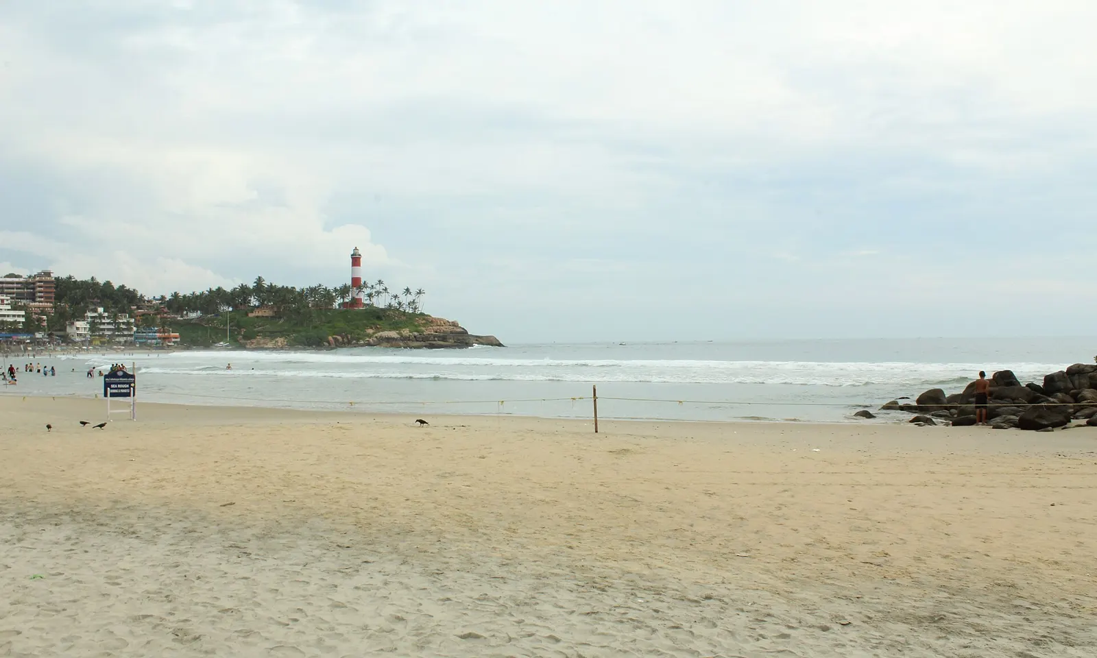
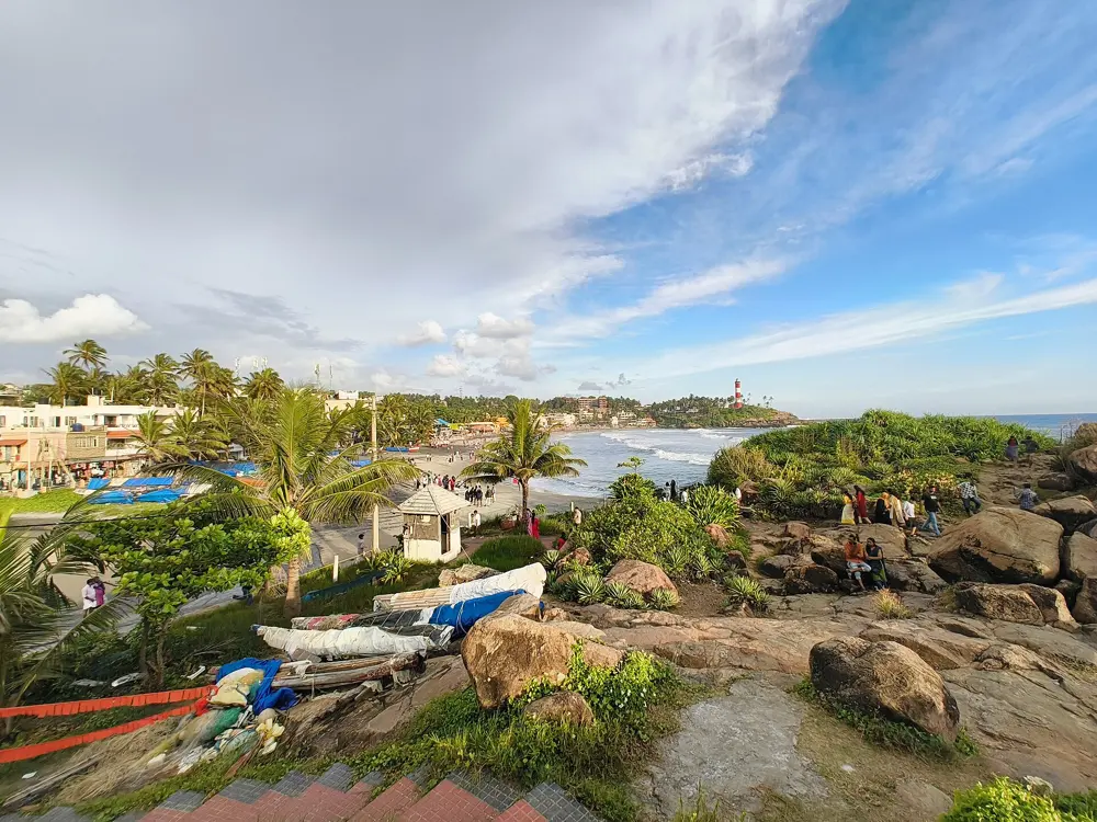
Lighthouse Beach at Kovalam, wide sand and the sea with the Vizhinjam lighthouse on the headland beyond

Photos: Sivahari (CC BY-SA 4.0), Sivahari (CC BY-SA 4.0), Harvinder Chandigarh (CC BY-SA 4.0), Hellowikidoc (CC BY-SA 4.0)

Distance
About 12.6 km from Thiruvananthapuram
Beaches
Three crescents: Lighthouse, Hawah and Samudra
Lifeguard posts
Six, marked with red and yellow flags
Best months
November to March

Why go

Kovalam is Kerala's best-known beach, three crescents of sand south of Thiruvananthapuram divided by rocky headlands: Lighthouse Beach, under the Vizhinjam lighthouse, 36 m tall, Hawah Beach, also called Eve's Beach, and Samudra Beach. It has been a resort for a long time: the regent Maharani Sethu Lakshmi Bayi built the Halcyon Castle here at the end of the 1920s, Europeans found the beach in the 1930s, and the hippie trail turned the fishing village into one of India's main beach destinations in the early 1970s. Kerala Tourism describes it as a shallow beach for swimming and sunbathing.

The route

Lighthouse Beach is the main swimming beach: Kerala Tourism says its gentle waves and shallow water make it good for swimming and wading, and asks swimmers to keep to the designated areas and watch the tides. Ashoka Beach has shallow water you can swim in, with a sea wall above the rocks. Hawah Beach is a shore dive site, and beginners learn to surf on the waves at Lighthouse Beach.

When to go

Kerala Tourism recommends November to March, when the weather is cool. The monsoon, from June to September, brings heavy rain, and diving stops because of rough seas and strong currents. Its diving page says the sea at Hawah is usually calmer before noon, so swim in the morning.

Getting there

Kovalam is about 12.6 km southeast of central Thiruvananthapuram. The airport is about 10 km away and the nearest railway station about 16 km.

Permits and booking

No permit or fee is needed. In March 2026 the authorities put up red and yellow flags, the colours of the lifeguards' uniforms, at the six points on the beach where lifeguards are stationed, so that swimmers can find them from the water. A siren now sounds in emergencies, such as a sudden undercurrent.

How hard it is

Easy to moderate. The lifeguards warn that sudden undercurrents appear and reach close to the shore; on one Monday evening in March 2026 they rescued three tourists caught in one. Most of their rescues are 300 to 500 m from land.

Where to sleep

Kovalam grew from a fishing village into one of Kerala's main resorts, and staying there means you can swim at Lighthouse Beach early, while the sea is calm, and be out of the water before the midday heat.

Tips

  • Swim within sight of one of the six flagged lifeguard posts.
  • If the siren sounds, get out of the water and onto the sand.
06 / 10

Kudle and Om Beach, Gokarna

Gokarna, Uttara Kannada, Karnataka

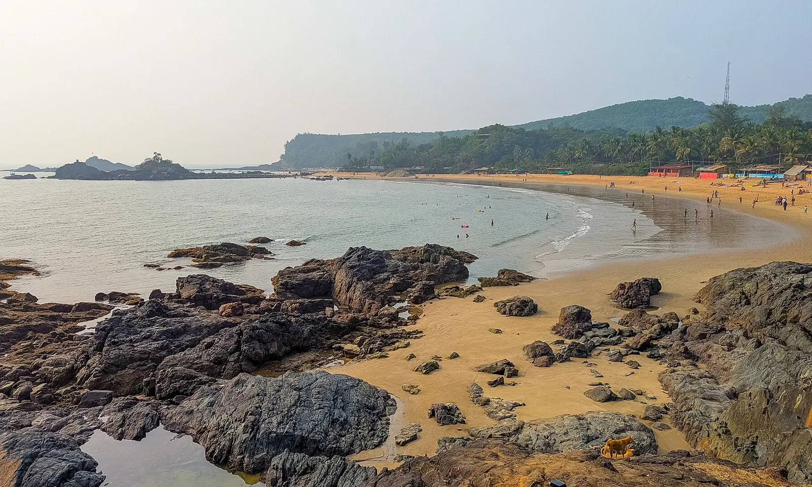
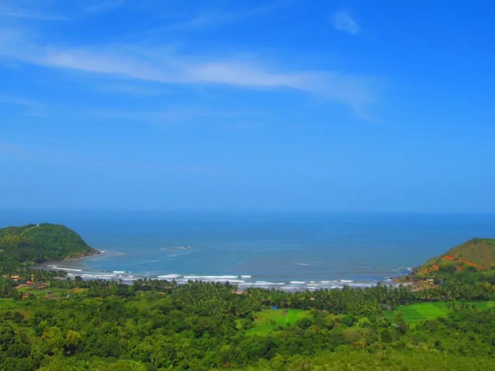
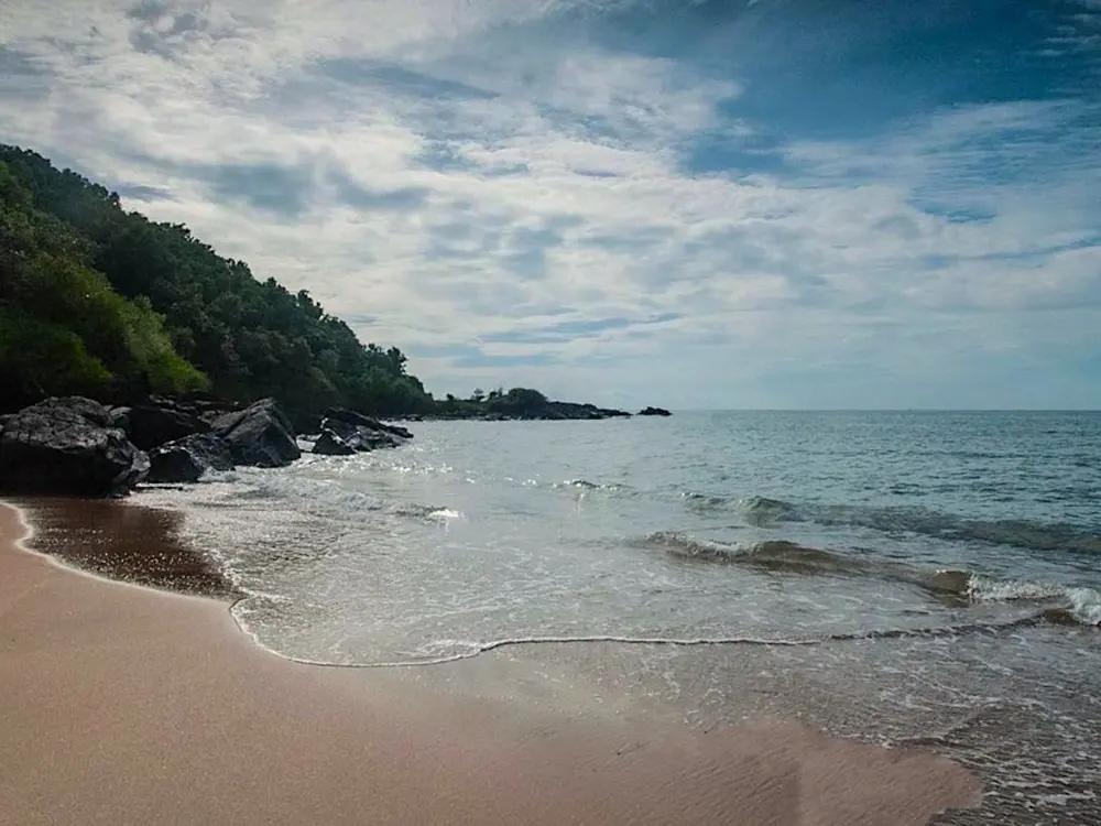
Om Beach at Gokarna, dark rocks and golden sand curving round to a green headland

Photos: Sourabh.biswas003 (CC BY-SA 4.0), Sourabh.biswas003 (CC BY-SA 4.0), Infoayan (CC BY-SA 3.0), Photos Worldwide (CC0)

Distance
About 10 km from Gokarna Road station
Kudle Beach
About 15 minutes by auto rickshaw from the bus stand
Best months
November to February
Wettest month
July, about 1,227 mm of rain

Why go

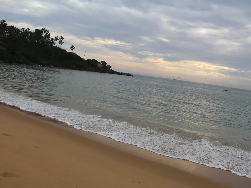
Gokarna is a temple town on the Karnataka coast, a pilgrimage place for the Mahabaleshwar temple to Shiva, and around it a string of beaches lies between green headlands. Kudle faces west, and Om, Half Moon, Full Moon and Belekan face south. Om Beach is named for its shape: its sands curve into the form of the Hindu symbol Om, and the two crescents make a sheltered pool of water between them. Kudle, between two green hills, is the one India's national tourism site calls safe and clean for swimming.

The route

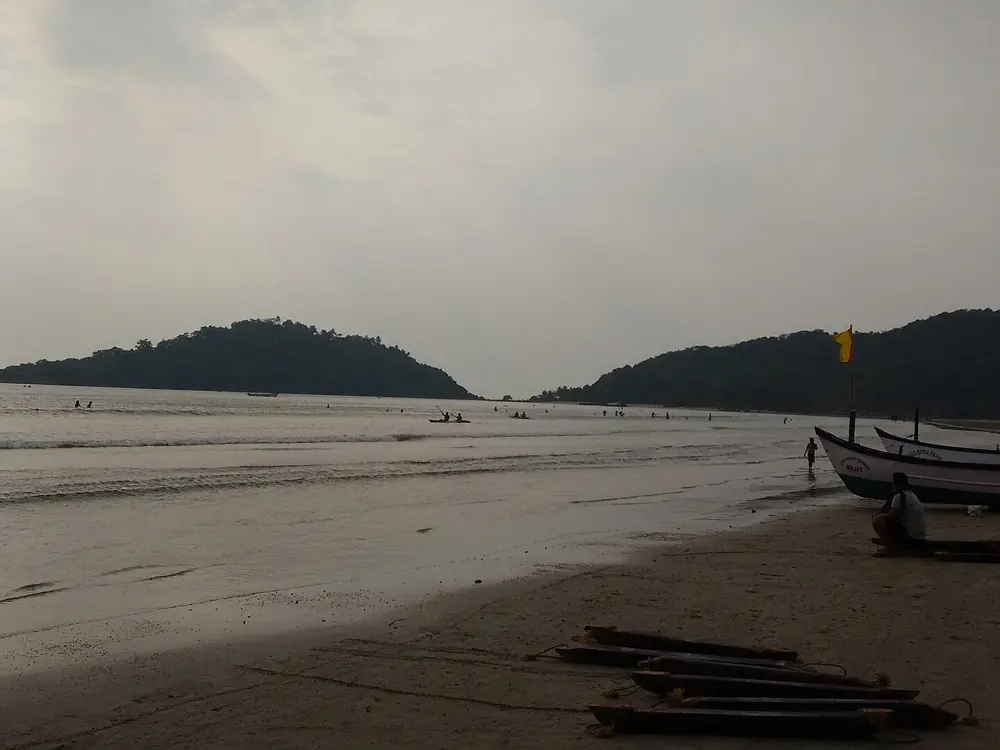
Start at Kudle, which you reach on foot for the last stretch, for the most straightforward swimming. Om Beach is next door; a travel guide says its two crescents make a pool safe even for non-swimmers, but Lonely Planet notes that signs officially ban swimming there and that local tourists have drowned in rough seas. From Om, Half Moon Beach is a secluded crescent reached by boat or by a path through the forest, and Full Moon Beach, below steep cliffs, is reached by ferry or on a guided walk.

When to go

Incredible India gives November to February as the best time for sunny weather and water activities, and April to June as quieter but very hot. The monsoon is heavy: rainfall peaks in July at about 1,227 mm, out of about 3,649 mm a year.

Getting there

Gokarna Road station, on the Konkan Railway, is about 10 km from town. The town is about 59 km from Karwar and about 238 km north of Mangalore. The nearest airport is Hubballi, about 123 km away; Goa's Dabolim and Mangalore airports are also used. Kudle is about 15 minutes by auto rickshaw from the bus stand, and cars cannot reach the beach itself.

Permits and booking

No permit or fee is needed. At Om Beach, signs officially prohibit swimming, though people do swim there in calm seas.

How hard it is

Moderate. There are no lifeguards at Kudle, and guides warn of powerful currents and a lack of lifeguards at many of Gokarna's beaches. Swim only when the sea is calm, and do not go far out.

Where to sleep

Stay in Gokarna town, near the temple and the bus stand, or in the places to stay above the beaches, which put you a walk from the water.

Tips

  • Swim at Kudle, which is the beach the tourism authorities describe as safe, and treat Om as a place to look at the sea when it is rough.
  • Because Kudle is quieter and has no lifeguards, do not swim there alone.
07 / 10

The Umngot River at Dawki and Shnongpdeng

West Jaintia Hills, Meghalaya

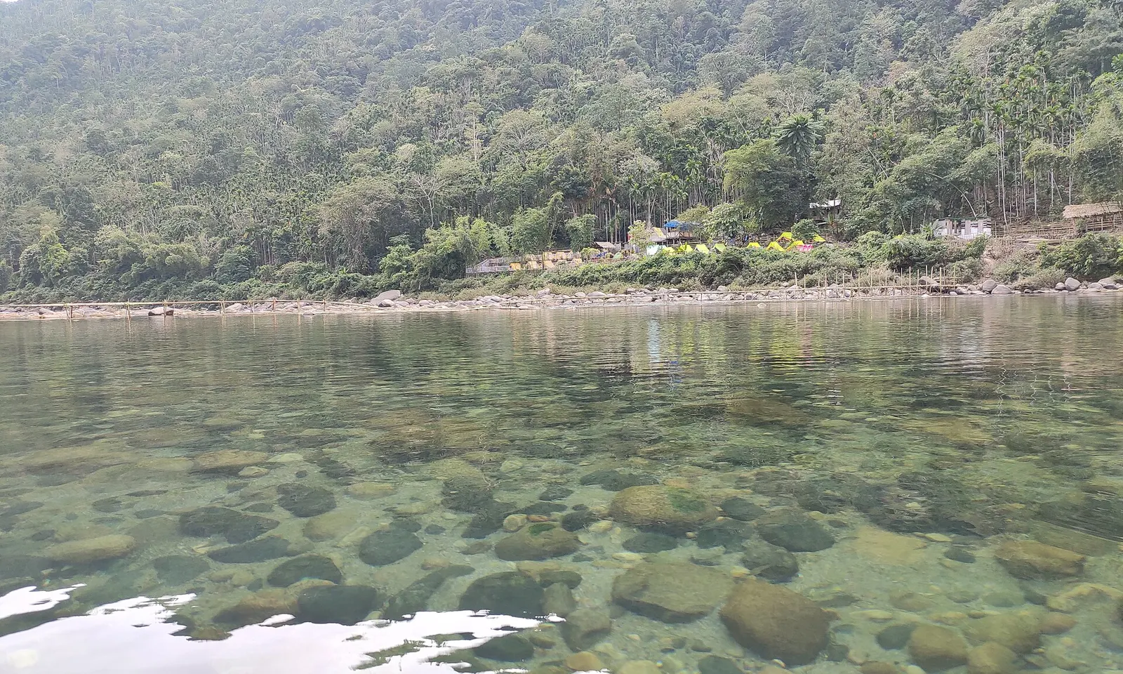
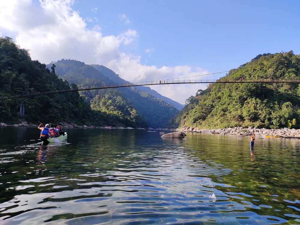
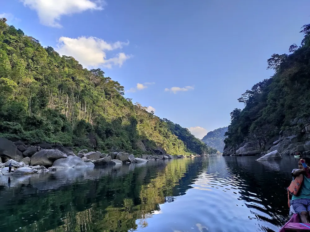
The clear water of the Umngot River with the stones of the riverbed visible and forested hills behind

Photos: ANKAN (CC BY-SA 4.0), Madhumita Das (CC BY-SA 4.0), ANKAN (CC BY-SA 4.0), ANKAN (CC BY-SA 4.0)

Distance
About 80 km from Shillong
Dawki to Shnongpdeng
About 7.5 km
Visiting hours
6 am to 6 pm
Best months
October to May

Why go

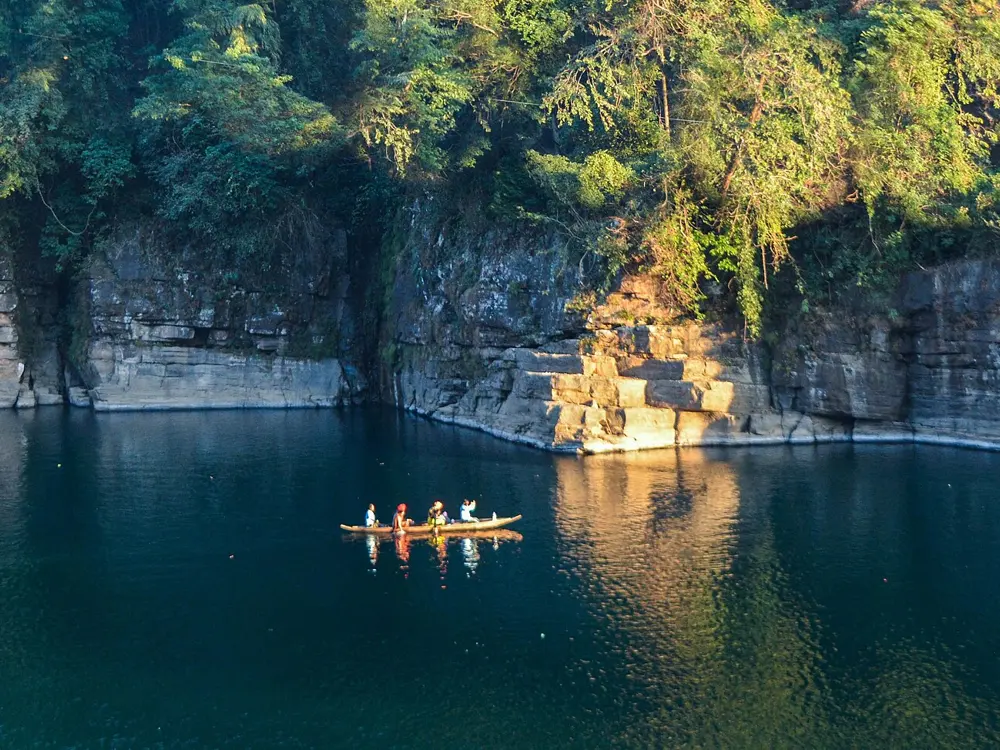
The Umngot is a river in the south of Meghalaya, at the foot of the Jaintia Hills, and it is famous across India for one thing: its water is so clear that from a boat you can see the stones of the riverbed below. It is often called one of the cleanest rivers in the country. At Dawki the river marks the border with Bangladesh and is crossed by a suspension bridge built in 1932. When the state government proposed a 210 MW hydroelectric dam on the river in 2021, villagers opposed it for fear of what it would do to tourism, and the project was dropped.

The route

Dawki is where most people take the famous boat rides. Shnongpdeng, upstream, is the place to get into the water: Meghalaya Tourism lists swimming there along with kayaking, cliff jumping into the river, snorkelling and scuba diving, and there is a zip line.

When to go

Meghalaya Tourism gives the best time as October to May. In the monsoon the water turns murky and the clear-water effect is lost, and the tourism board advises checking forecasts for heavy rain and landslide warnings. Winter is the busy season, so book a place to stay in advance.

Getting there

Dawki is about 80 km from Shillong along NH206, about three hours by road, and about 55 km from Jowai through Amlarem. Shillong airport is about 120 km away and Guwahati airport about 208 km. Shared taxis and private cabs run from Shillong and Jowai; Meghalaya Tourism recommends your own vehicle for getting on to Shnongpdeng.

Permits and booking

No permit is listed for Indian visitors. An older Meghalaya Tourism tariff lists an entry fee of 50 rupees a head at each location and boats at 800 rupees each; these may have changed, so check locally. Visiting hours are 6 am to 6 pm, and the board asks visitors not to stay past closing time.

How hard it is

Easy to moderate. This is a river, not a pool: at Dawki a white line of faster current marks the border, and the tourism board lists no lifeguards. Meghalaya Tourism advises taking a local guide who knows the place and the language.

Where to sleep

Most places to stay are riverside camps at Shnongpdeng and Darrang, with some bamboo huts and homestays.

Tips

  • Go between November and May for the clearest water, and avoid the monsoon, when the river is brown.
  • Take a local guide to the jumping and snorkelling spots at Shnongpdeng.
08 / 10

Tarkarli

Malvan, Sindhudurg, Maharashtra

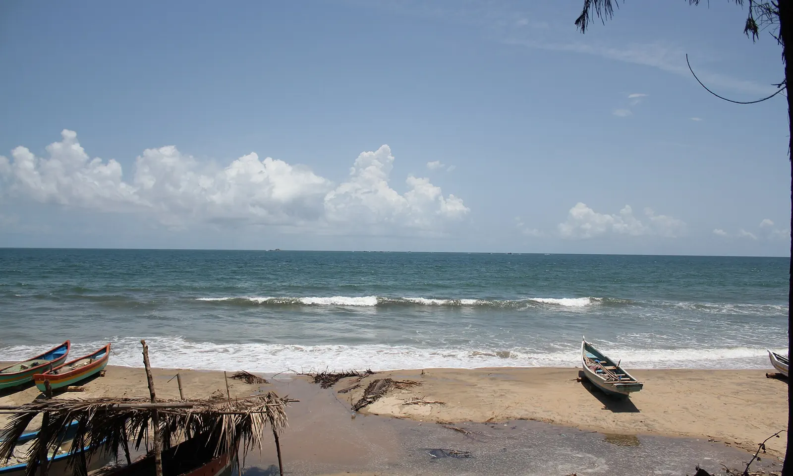
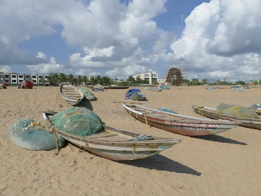
Waves rolling in to Tarkarli Beach on the Konkan coast under a blue sky with white clouds, with fishing boats on the sand

Photos: Asifkhan31416 (CC BY-SA 4.0), Nidhi Hira (CC BY-SA 4.0), Rohit Keluskar (CC BY-SA 4.0), Manas46951 (CC BY-SA 4.0)

Distance
About 6 km from Malvan
From Mumbai
About 530 km
Nearest airport
Chipi, about 25 km
Best months
October to March

Why go

Tarkarli is a village on the southern Konkan coast of Maharashtra, where the Karli River meets the Arabian Sea, and its beach has been called the Queen Beach of the Konkan. Maharashtra Tourism describes clean, clear water and rich marine life, and snorkelling and scuba diving are offered off the beach, and the International Scuba Diving Training Centre, an MTDC institute, is here. It is a remote corner of southern Maharashtra, more than 500 km from Mumbai.

The route

Swim off the main beach close to shore, and take a boat out with an operator to snorkel or dive. Boating, kayaking and paddleboarding are also offered. One guide advises not going in deeper than your waist, because the currents at Tarkarli can be strong.

When to go

Maharashtra Tourism gives October to March as the best time, when the weather is cool and breezy; other guides give October to May for water sports. In the monsoon, from June to September, the sea is rough and water activities are suspended. A July 2026 travel article reported scuba diving at Tarkarli closed from June with reopening expected on 1 October 2026, and boat trips to Sindhudurg Fort stopped from 26 May under a Regional Port Officer's order, with reopening expected on 31 August; check that services have restarted.

Getting there

The nearest railway station is Kudal, on the Konkan Railway, about 45 km away; Sindhudurg and Kankavli stations are also used. The nearest airport is Chipi, about 25 km; Goa's Mopa airport is about 80 km and Dabolim about 135 km. Buses run to Malvan from Goa, Mumbai and Pune, and from Malvan it is a bus or rickshaw ride to Tarkarli.

Permits and booking

No permit is needed to swim. Boat services and water sports are closed by port order in rough weather, so ask before you plan a trip around them.

How hard it is

Moderate: guides warn of strong currents. Stay within your depth unless you are with a boat or dive operator.

Where to sleep

Stay in Tarkarli itself, in the village on the beach, or in Malvan, the nearby town, which is the base for buses and boats.

Tips

  • For the clearest water, book snorkelling or a first dive with an operator rather than swimming out from the beach.
  • Come after the monsoon closures have ended, from October, when the boats and dive centres are running again.
09 / 10

Rushikonda Beach

Visakhapatnam, Andhra Pradesh

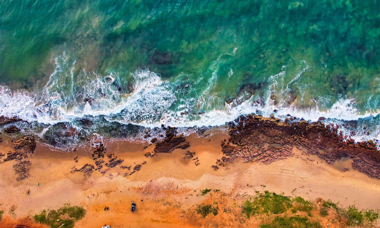
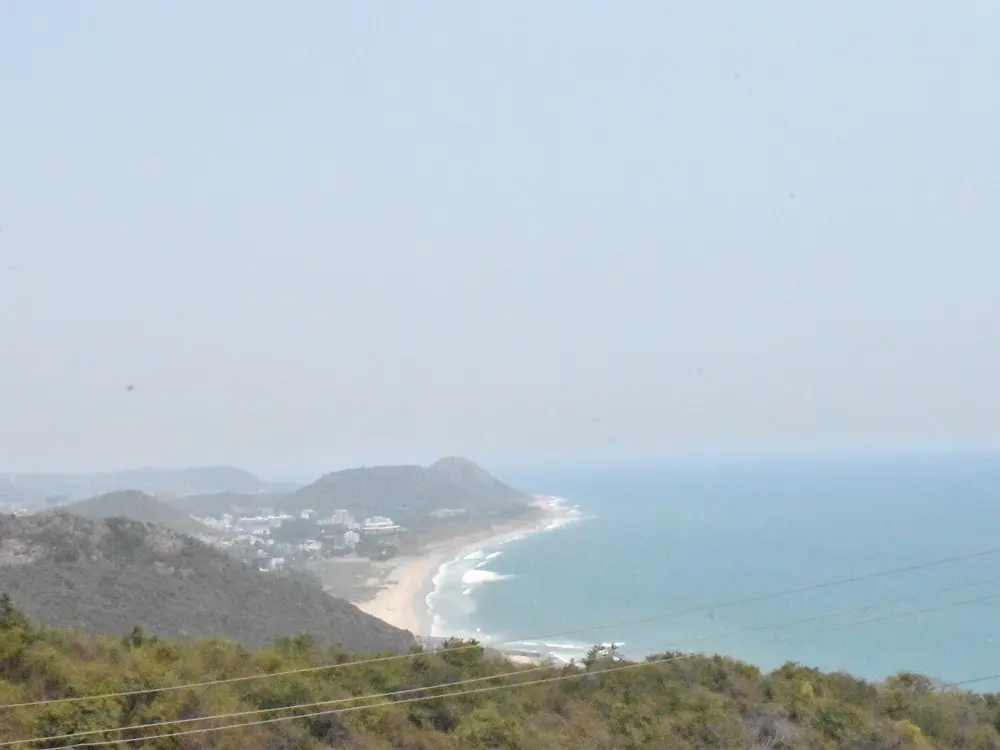
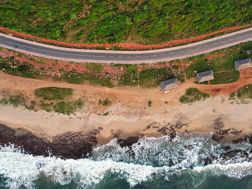
Rushikonda Beach from the air, green surf breaking on golden sand and dark rocks

Photos: iMahesh (CC BY-SA 4.0), Pinakpani (CC BY 4.0), Pinakpani (CC BY 4.0), iMahesh (CC BY-SA 4.0)

Blue Flag stretch
600 m
Blue Flag
Since 2020, restored in March 2025
Lifeguards
Seven, 6 am to 8 pm (March 2025)
Bus
APSRTC routes 900K and 900T from Visakhapatnam station

Why go

Rushikonda is the beach of Visakhapatnam, on the Bay of Bengal, run by the Andhra Pradesh Tourism Development Corporation. It is the only Blue Flag beach in Andhra Pradesh: 600 m of its coastline were certified in 2020, and the award was renewed in October 2024. One guide calls it one of the only beaches in Visakhapatnam where you can swim, when the sea is calm.

The route

Swim in the lifeguarded stretch in front of the Blue Flag beach. The tourism corporation describes Rushikonda as a place for swimming and windsurfing, and kayaking, jet skiing, surfing and parasailing are offered too; most of these stop in the monsoon.

When to go

Avoid the monsoon, when the water sports stop. In February 2025 the Foundation for Environmental Education suspended the Blue Flag from 13 February after visitors complained about stray dogs, broken CCTV cameras, waste, run-down toilets and changing rooms and damaged walkways. After a safety audit by the Rashtriya Life Saving Society, the flag was handed back in late March 2025.

Getting there

APSRTC buses 900K, from the railway station to Bheemili, and 900T, from the station to Tagarapuvalasa, both pass Rushikonda. Guides disagree on the distance from the city centre, giving about 8 km and about 16 km.

Permits and booking

No permit is needed. As a Blue Flag beach it has to meet 33 criteria, including bathing water quality and safety services.

How hard it is

Moderate. When the sea is calm it is good for swimming, but this is open Bay of Bengal surf, and you should swim only while the lifeguards are on duty. In March 2025 seven lifeguards trained in Goa were to cover the beach from 6 am to 8 pm in two shifts.

Where to sleep

Stay in Visakhapatnam and take the bus or a cab out along the coast road; the route continues north to Bheemili.

Tips

  • Swim between 6 am and 8 pm, when the lifeguards are on duty.
  • Choose a calm morning: on rough days Rushikonda is a beach for walking, not swimming.
10 / 10

Golden Beach, Puri

Puri, Odisha

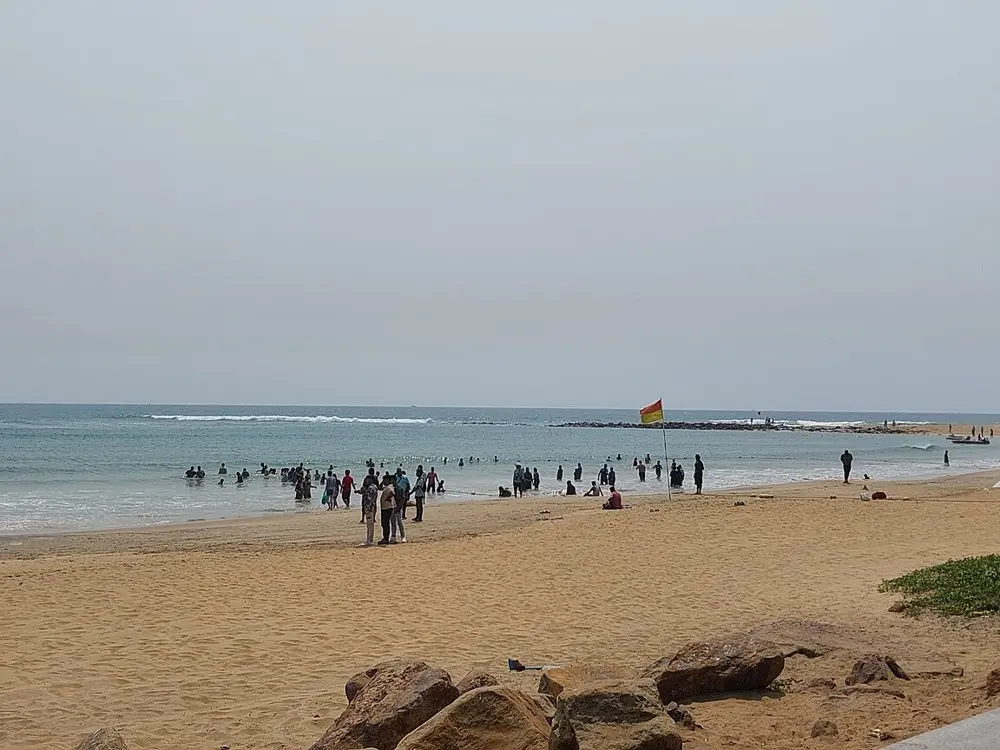
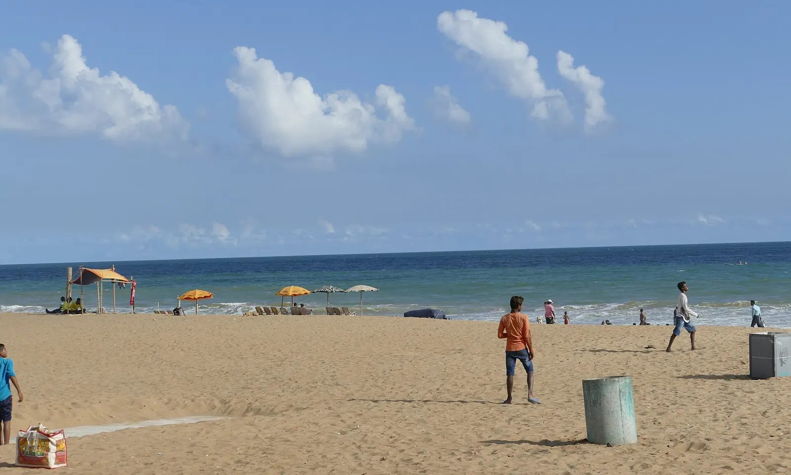
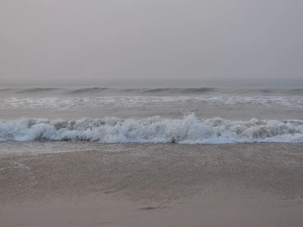
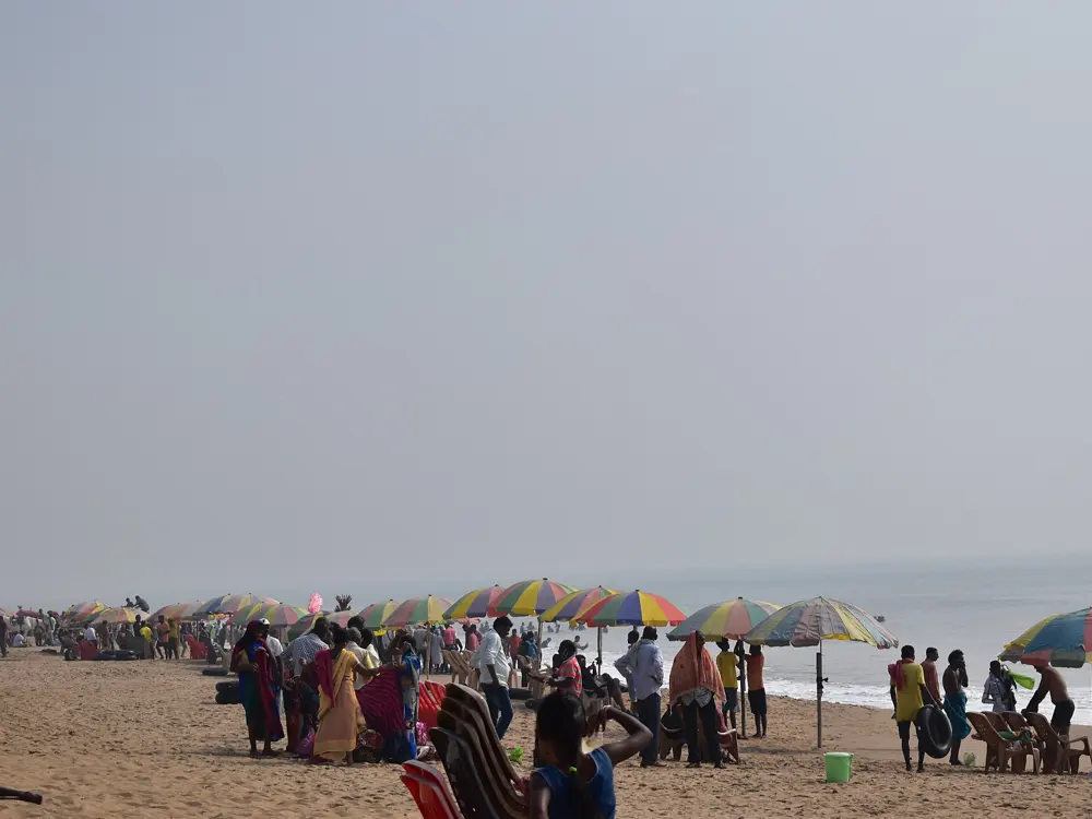
Golden Beach at Puri, wide sand and blue sea under white clouds, with umbrellas and people near the water

Photos: Kritzolina (CC BY-SA 4.0), Kritzolina (CC BY-SA 4.0), Pinakpani (CC BY-SA 4.0), Pinakpani (CC BY-SA 4.0)

Blue Flag stretch
870 m
Blue Flag
Awarded 11 October 2020
Jagannath Temple
About 2.5 km away
Best months
October to February

Why go

Puri is one of India's great pilgrimage towns. Its long beach on the Bay of Bengal is busy with bathers. The Golden Beach is its cleanest stretch: 870 m from Digabareni Square to the back of the Mayfair Hotel, given the Blue Flag on 11 October 2020 as Odisha's first. It has public toilets, changing and shower rooms, watch towers and a marked safe swimming zone, and Odisha Tourism says there are lifeguards and clearly marked zones. Sand artists, Sudarshan Pattnaik best known among them, work on the beach, and it hosts the Puri Beach Festival.

The route

Swim inside the marked safe zone of the Golden Beach, in front of the watch towers, and nowhere else. Next to it is Niladri Beach, which Odisha Tourism describes as clean and less crowded. The beach is quiet at dawn and busy in the evening, when the beach market opens.

When to go

Odisha Tourism gives October to February as the best time; the Puri district site gives October to April. Avoid the monsoon, from June to September. The sea can be closed at short notice: on 24 September 2026, under a red zone weather alert, the district administration banned sea bathing for two days and put 98 Odisha Fire Service lifeguards on the beach with red flags and loudspeakers.

Getting there

Puri railway station is about 2 km from the beach. The nearest airport is Biju Patnaik International in Bhubaneswar, about 60 km away by road.

Permits and booking

There is no entry fee, and the beach is open 24 hours, though entry to the Golden Beach is regulated to keep it clean.

How hard it is

Hard outside the marked zone. Rip currents catch bathers here; one local report counted at least 160 tourists drowned in Puri's sea in ten years. In September 2026 lifeguards rescued two brothers, aged 17 and 14, pulled into deep water at Sector-4, and in September 2025 they rescued a tourist swept away at Sector-3. Odisha plans to put 3,420 trained home guards to work as lifeguards at 169 drowning black spots across the state.

Where to sleep

Hotels line Puri's sea front, and the Golden Beach is the stretch behind the Mayfair Hotel, so staying near it puts the safe zone a short walk away.

Tips

  • Bathe only where the lifeguards are, and get out when they tell you to.
  • Check the news for weather alerts before you go in: bathing bans are announced for low pressure systems in the bay.

Sources

Distances, heights, seasons and permit rules were checked against these pages. Rules change, so check the park or trail authority before you go.