Rungs Labs

Rungs Pilgrimage · Swimming · United Kingdom

The 10 Best Places to Swim in the UK

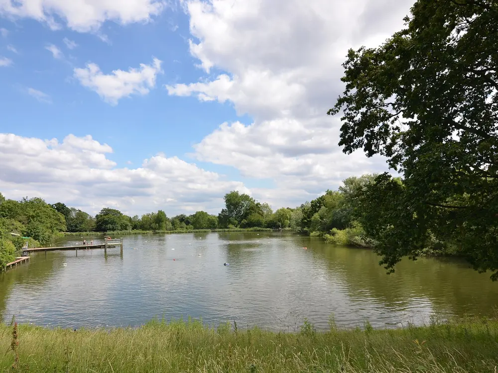
The Hampstead Heath ponds, London, England. Photo: Jim Osley (CC BY-SA 2.0)

Britain swims outdoors all year. Londoners break the ice on the Hampstead ponds, a 1930s lido in Penzance is heated from deep in the rock, and the lakes, rivers and coves of every nation have their regulars and their races, from the Dart 10K to the length of Windermere. The water is cold by most of the world's standards, and part of the reason people come is to feel it.

These ten run from Cornwall, Devon, Dorset, London and the Lake District to Pembrokeshire and Snowdonia, Skye and Loch Lomond, and the Causeway Coast of Northern Ireland. For each one you get the classic swims, the best season, how to get there, the fees and rules, how hard it is and where to stay. Every fact comes from park and council pages, the operators, event organisers or the other pages linked at the bottom.

Updated 2026-10-19

  1. 01The Hampstead Heath pondsLondon, England
  2. 02Jubilee PoolPenzance, Cornwall, England
  3. 03The River DartDartmoor and South Devon, England
  4. 04Lulworth CoveJurassic Coast, Dorset, England
  5. 05WindermereLake District, Cumbria, England
  6. 06The Blue Lagoon, AbereiddiPembrokeshire, Wales
  7. 07Llyn PadarnLlanberis, Eryri (Snowdonia), Wales
  8. 08The Fairy PoolsGlen Brittle, Isle of Skye, Scotland
  9. 09Loch LomondLoch Lomond and The Trossachs National Park, Scotland
  10. 10PortrushCauseway Coast, County Antrim, Northern Ireland
01 / 10

The Hampstead Heath ponds

London, England
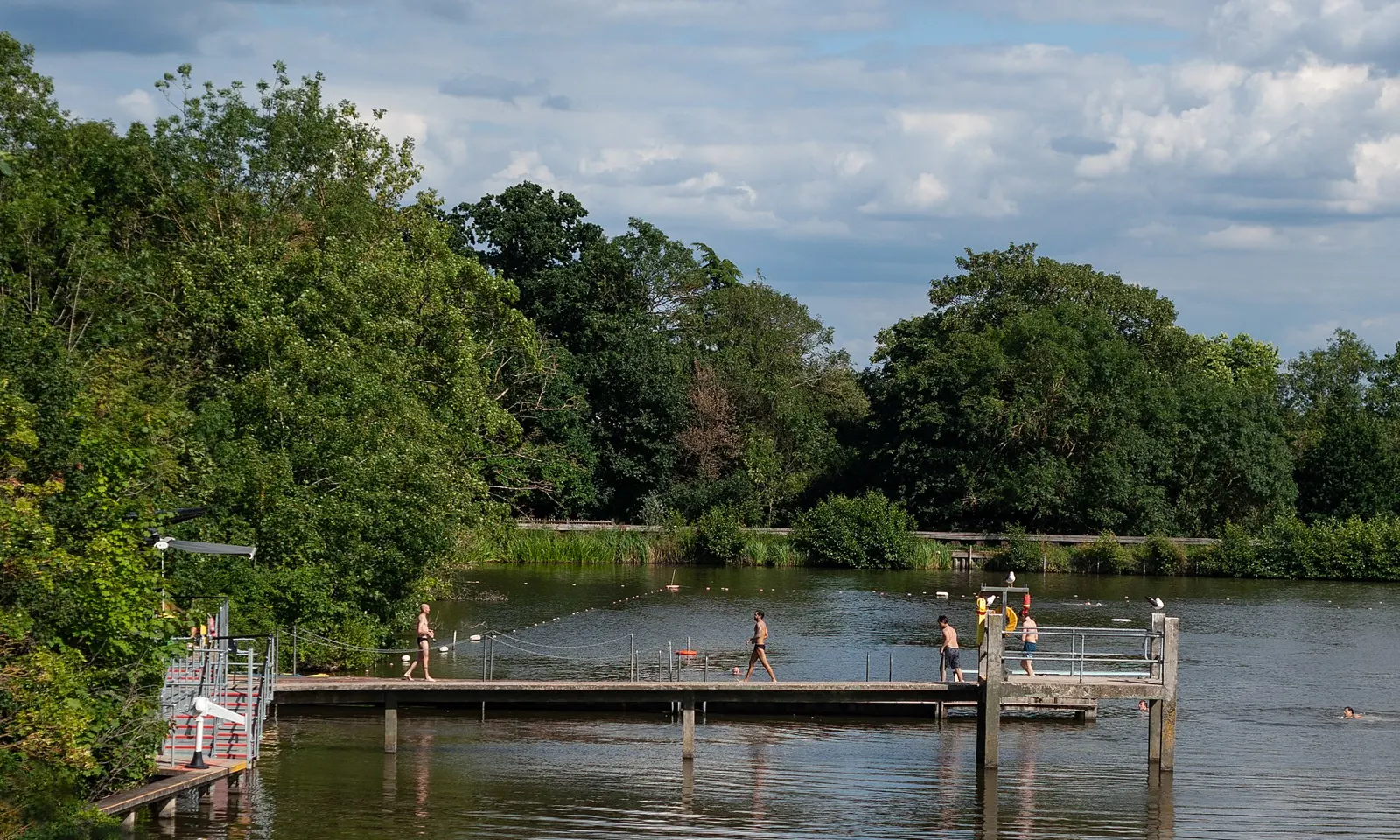
The diving jetty of the Highgate Men's Bathing Pond on Hampstead Heath, with swimmers in the water

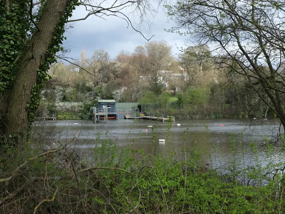
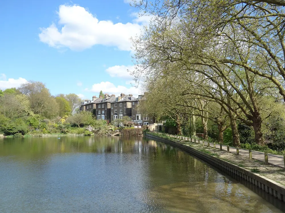
Photos: Jim Osley (CC BY-SA 2.0), Bloodholds (CC BY-SA 4.0), Martin Addison (CC BY-SA 2.0), Des Blenkinsopp (CC BY-SA 2.0)

Distance
61 m length at Parliament Hill Lido
Entry
Ponds £5 adult, £3 concession and under 16s
Season
Ladies', Men's and Lido all year; Mixed April to October
Age
8 and over in the ponds, with a swim test for children

Why go

On Hampstead Heath, a few miles from central London, people swim through the year in ponds that were dug in the 17th and 18th centuries as reservoirs for the city. Three of them are kept for bathing: the Kenwood Ladies' Pond, the Highgate Men's Pond and the Hampstead Mixed Pond. Swimming here was free from at least the 1920s until tickets came in, and the regulars who break the surface on a winter morning are part of the city's character. The water is natural and untreated, with trees and reeds at the edges.

The route

The Highgate Men's Pond and the Kenwood Ladies' Pond lie off Millfield Lane on the eastern side of the Heath. Each has a lifeguarded swimming area, ladders for stepped entry and a hoist for assisted entry. The Mixed Pond is on the Hampstead side, a 10 to 15 minute walk from Hampstead Heath station. For lengths, Parliament Hill Lido, opened on 20 August 1938, is an unheated pool 61 m long and 27 m wide, 1 to 2 m deep, and since 2005 lined with stainless steel.

When to go

The Ladies' and Men's ponds and the Lido open all year, and the Mixed Pond from April to October; it is closed for the winter now. From 28 September 2026 to 30 April 2027 the Lido opens at 7am with last entry at 1pm, and its sauna runs from mid-October to May. Outside the summer every session is drop in. In summer some sessions must be booked online and sell out on warm days.

Getting there

Gospel Oak on the Overground is about 18 minutes' walk from the Men's Pond and about 23 minutes from the Ladies' Pond. The 214 bus stops near both. The Lido is beside Gospel Oak station, and Hampstead Heath station serves the Mixed Pond.

Permits and booking

Tickets to 31 March 2027 cost £5 for adults at the ponds and £3 for concessions and under 16s. At the Lido a winter swim costs £5 for adults and £1.50 for juniors aged 5 to 15, and a summer morning or afternoon session £8.80. Under 16s and over 60s swim free before 9.30am with proof of age. From 1 October 2026 the swimming facilities take cashless payment only. Children under 8 are not allowed at the ponds. Those aged 8 to 15 must be with an adult, one adult to two children, and pass a swim test first.

How hard it is

The City of London says the ponds are for competent swimmers only: the water is deep and opaque, untreated, and should not be swallowed. In October 2026 the Ladies' Pond page warned of elevated blue green algae that may harm vulnerable swimmers, and the pond closes at times because of it. Winter water is cold, and temperatures are posted at each pond and online. The ponds close for Met Office forecasts of gusts of 40mph or more. Masks, snorkels and swimming aids are not allowed in the Men's Pond; wetsuits, boots and gloves are.

Where to sleep

Hampstead, Highgate and Kentish Town have hotels and guesthouses within walking distance of the Heath, and the whole of London is a short train ride away.

Tips

  • The Men's Pond has no lockers, so bring a floating dry bag for anything you cannot leave in the changing area.
  • Check the City of London's Hampstead Heath social media accounts for short notice closures before you set out.
02 / 10

Jubilee Pool

Penzance, Cornwall, England

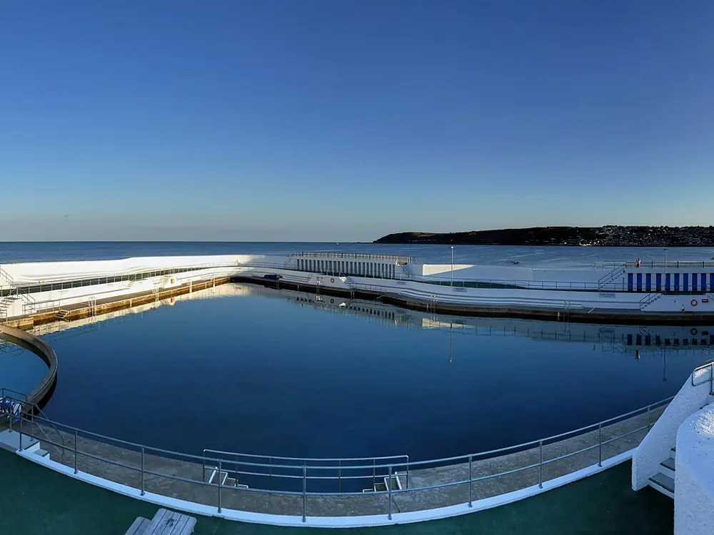
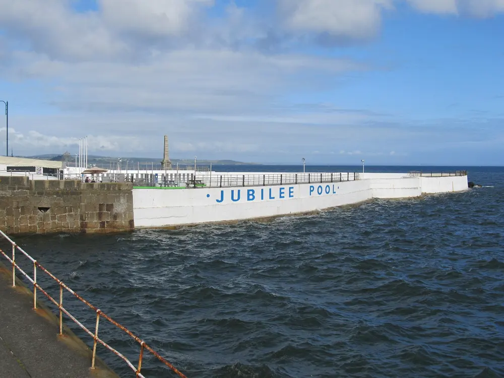
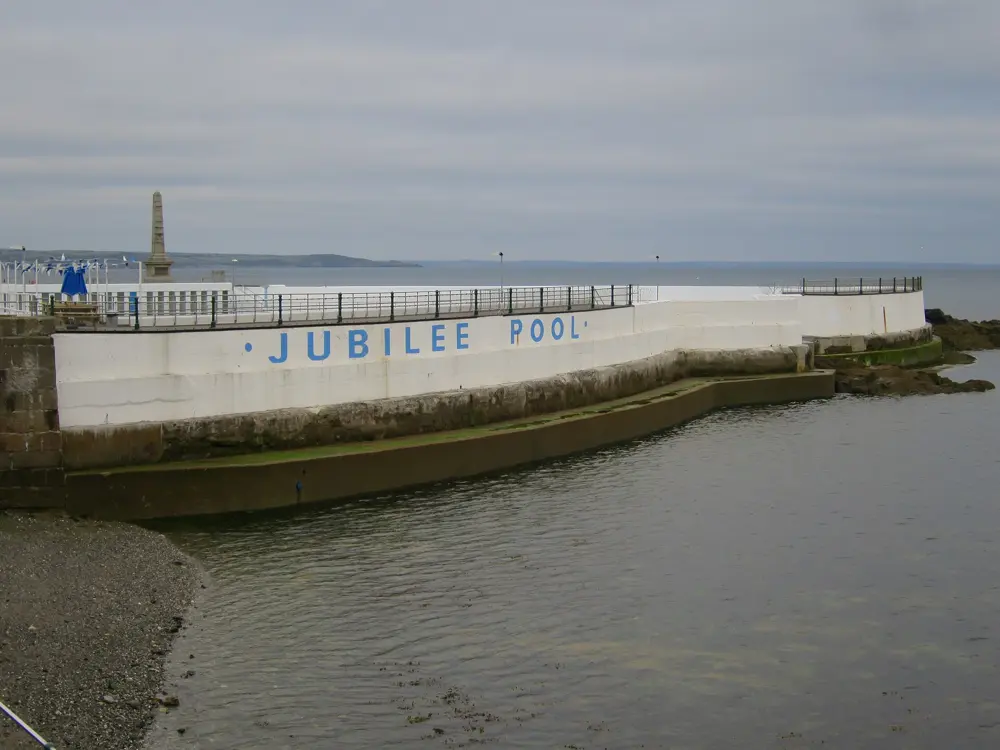
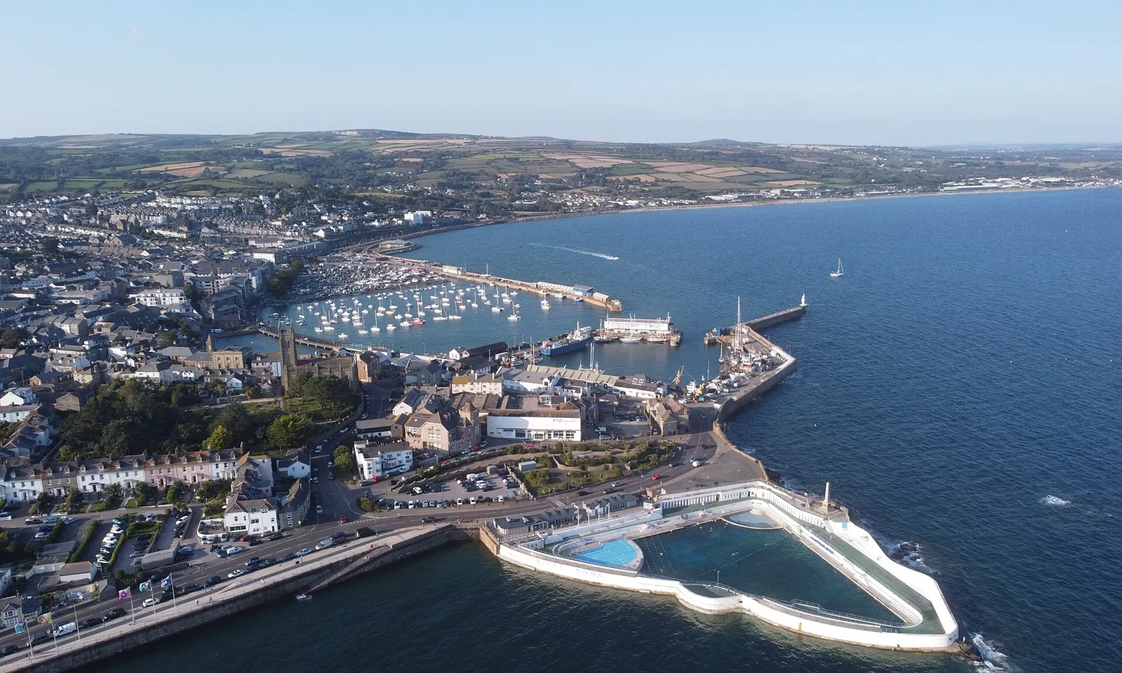
Jubilee Pool from the air, its triangular white walls in the sea below Penzance, with the harbour and town behind

Photos: Kernow Skies (CC BY-SA 3.0), Virtual-Pano (CC BY-SA 4.0), Richard Rogerson (CC BY-SA 2.0), Oast House Archive (CC BY-SA 2.0)

Distance
Pool about 300 by 160 feet
Opened
31 May 1935
Geothermal pool
Heated to 28 to 30 C
Capacity
About 5 million litres of seawater

Why go

Jubilee Pool is a triangular Art Deco lido built out over the rocks of Penzance's seafront, and it calls itself the UK's largest seawater pool. It was designed by the borough engineer, Captain Frank Latham, and opened on 31 May 1935 for King George V's Silver Jubilee; by that August nearly 60,000 people had been. Its white walls curve into Mount's Bay, so you swim in seawater with the open sea on the other side of the wall. Since 2019 part of it has been heated from a 410 m geothermal well, which makes it the only geothermally heated lido in the country.

The route

There are two pools. The main sea pool, about 300 feet long and 160 feet wide, is filled on a high tide and is usually a couple of degrees warmer than the sea outside; it is lifeguarded and has freshwater showers. The geothermal pool is seawater kept at 28 to 30 C, warm enough for a long swim in any month, and it hosts AquaFit classes. A shallow children's pool, 0.6 m deep, is warmed only by the sun. The pool also runs adult swimming lessons in the main pool and yoga on the terrace.

When to go

The pool fully reopened on 31 March 2026, ahead of the Easter holidays and the summer season, with longer opening hours. The unheated sea pool is a summer swim; the geothermal pool is the one to book when the sea is cold. Check the opening hours page before you go.

Getting there

The pool is on Battery Road, Penzance, TR18 4FF, on the seafront beside Battery Rocks, the town's old bathing spot, and within walking distance of the town centre.

Permits and booking

Tickets for the pools and sauna are bought online, and geothermal sessions must be booked in advance. Prices are on the pool's pricing page. The pool is run by a community social enterprise, owned by about 1,400 local shareholders as of 2021.

How hard it is

Easy, guarded water. The sea pool is as cold as the sea in early summer, so get in slowly. The geothermal pool is warm, so the effort is in the booking rather than the swim.

Where to sleep

Penzance has guest houses and hotels along the promenade and in the town, and Newlyn and Mousehole, along the bay, have more.

Tips

  • Book the geothermal pool for a winter morning, when the warm water steams in the cold air.
  • The Art Deco café's top terrace looks over Mount's Bay and is open to non swimmers.
03 / 10

The River Dart

Dartmoor and South Devon, England

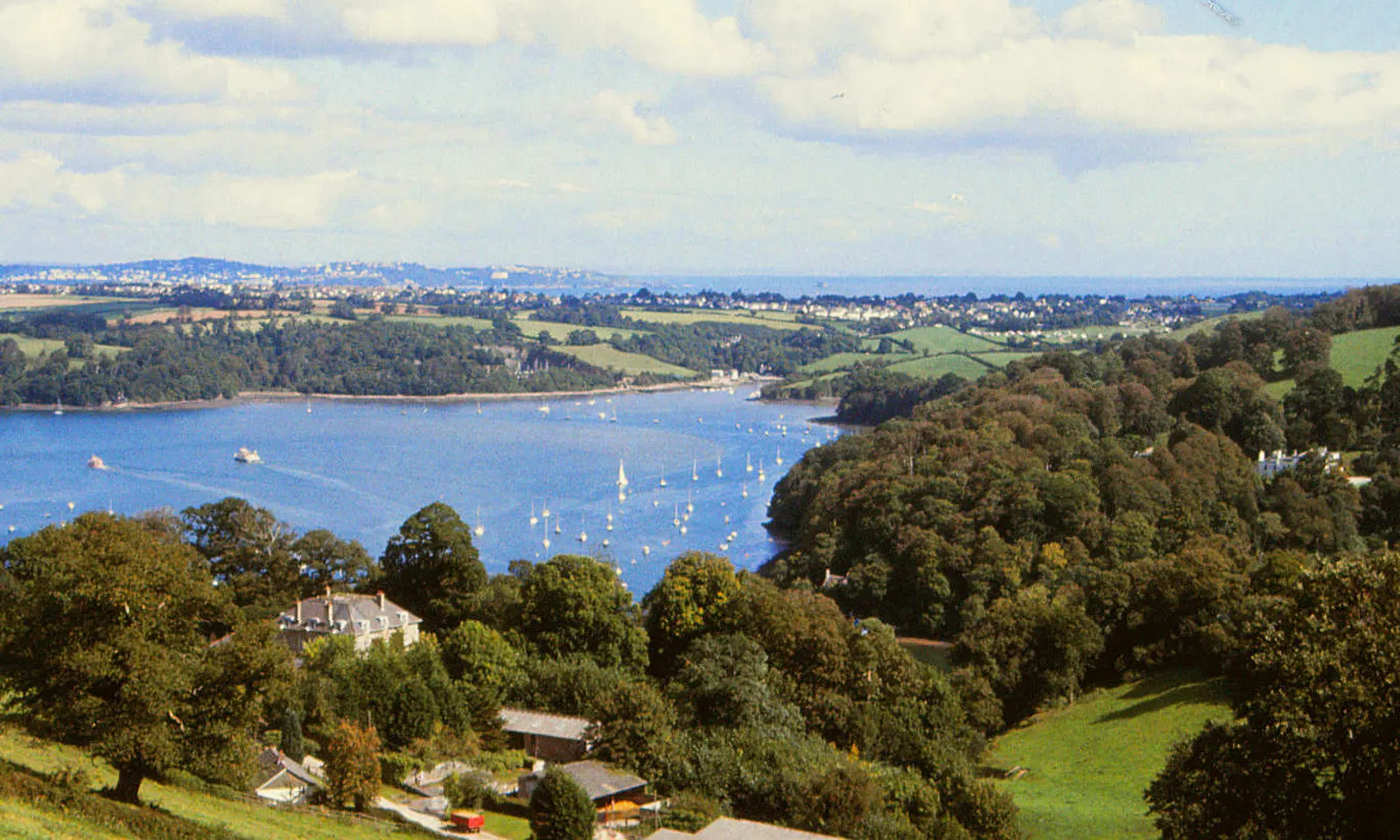
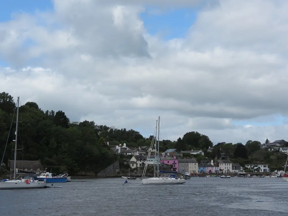
The River Dart estuary at Dittisham, wide blue water with moored yachts between wooded hills

Photos: Derek Harper (CC BY-SA 2.0), David Smith (CC BY-SA 2.0), Martin Dawes (CC BY-SA 2.0), Smiley.toerist (CC BY-SA 4.0)

Distance
Dart 10K, Totnes to Galmpton Creek
River
75 km from Dartmoor to Dartmouth
Sharrah Pool
About 60 m long
Lifeguards
None on the river

Why go

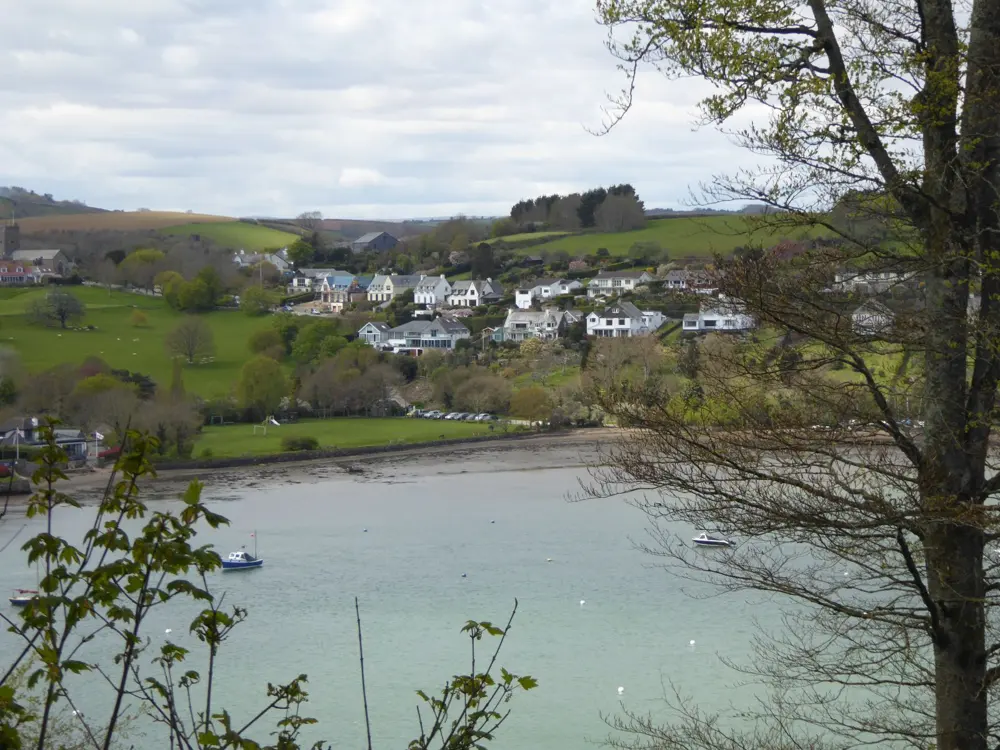
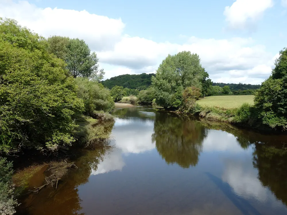
The Dart runs 75 km from two sources high on Dartmoor, which join at Dartmeet, down through oak woods to a deep tidal estuary that reaches the sea at Dartmouth. Few rivers in Britain give you both kinds of swim. On the moor there are cold pools under the trees; below Totnes the river widens between wooded hills and moored yachts. It is also the home of the Dart 10K, which Totnes Today calls the first, and arguably the finest, marathon distance swim in the UK.

The route

The classic river swim is Sharrah Pool, a deep pool about 60 m long in the National Trust's Holne Woods. From the car park at New Bridge, cross the bridge and follow the forestry path upstream through the woods, over a waterfall, down to a flat area beside the river. Downstream, Spitchwick is a wide grassy bend busy with families in summer. The tidal Dart below Totnes is the course of the Dart 10K: swimmers start at Longmarsh car park in Totnes and swim downstream, keeping inside a channel marked by buoys, to Galmpton Creek, below Greenway, opposite Dittisham. The event was first organised by the Outdoor Swimming Society and is now run by the charity Level Water, which raised more than £250,000 from it in 2024. At the river mouth, Sugary Cove near Dartmouth Castle is a quiet beach, and strong swimmers wait until just before high tide to swim the rocky channel to Castle Cove.

When to go

The moorland pools are best on a warm midweek day in May or September, when they are quieter than in the school holidays. The water stays cold all year. The Dart 10K is held over a weekend in September; places are limited and sell quickly, so watch Level Water's site for the entry date.

Getting there

Totnes, where the river becomes tidal, is on the Exeter to Plymouth railway line. New Bridge, for Sharrah Pool, has a car park. Spitchwick has three car parks nearby, but they fill on summer days.

Permits and booking

No permit is needed for the public spots named here. In September 2023 the owners of the Spitchwick estate put up signs asking people not to swim along their 17 km of the river, except in the River Dart Country Park, to protect wildlife and banks; they came from the estate, not the national park, and drew protests. Read the signs where you get in.

How hard it is

There are no lifeguards anywhere on the river. On the moor the water is cold, there are deep channels around Sharrah and Spitchwick, and the flow becomes fast and strong after rain, so stay out when the river is high. On the 10K the current is strong in the middle sections, and organisers watch storm overflows after heavy rain. In the estuary keep clear of boats.

Where to sleep

Totnes and Dartmouth have inns and guest houses, and Dartmoor villages such as Holne and Widecombe have pubs with rooms and campsites near the river.

Tips

  • Avoid the moorland pools after heavy rain, when the Dart rises fast.
  • On the estuary, a tow float makes you visible to the boats coming up and down the river.
04 / 10

Lulworth Cove

Jurassic Coast, Dorset, England

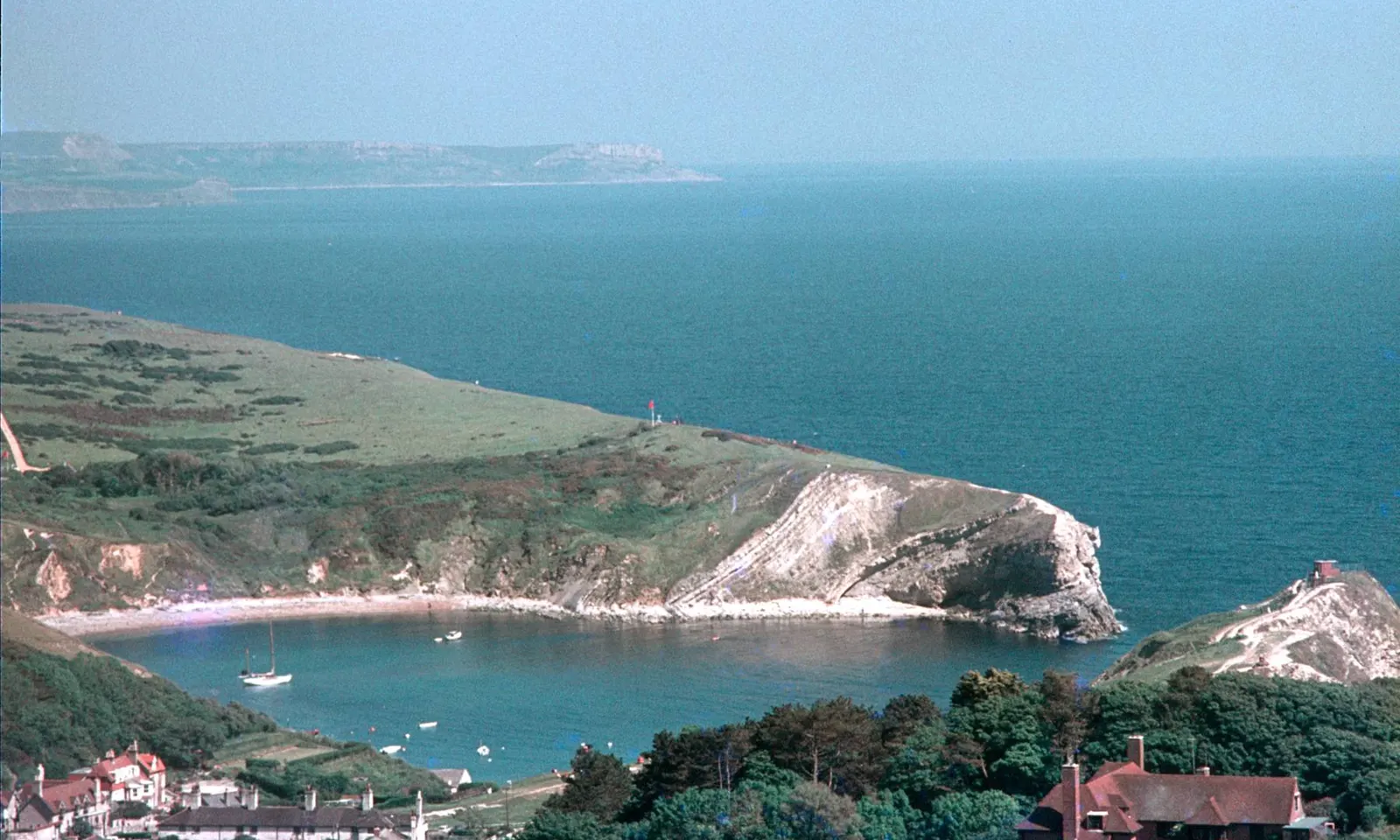
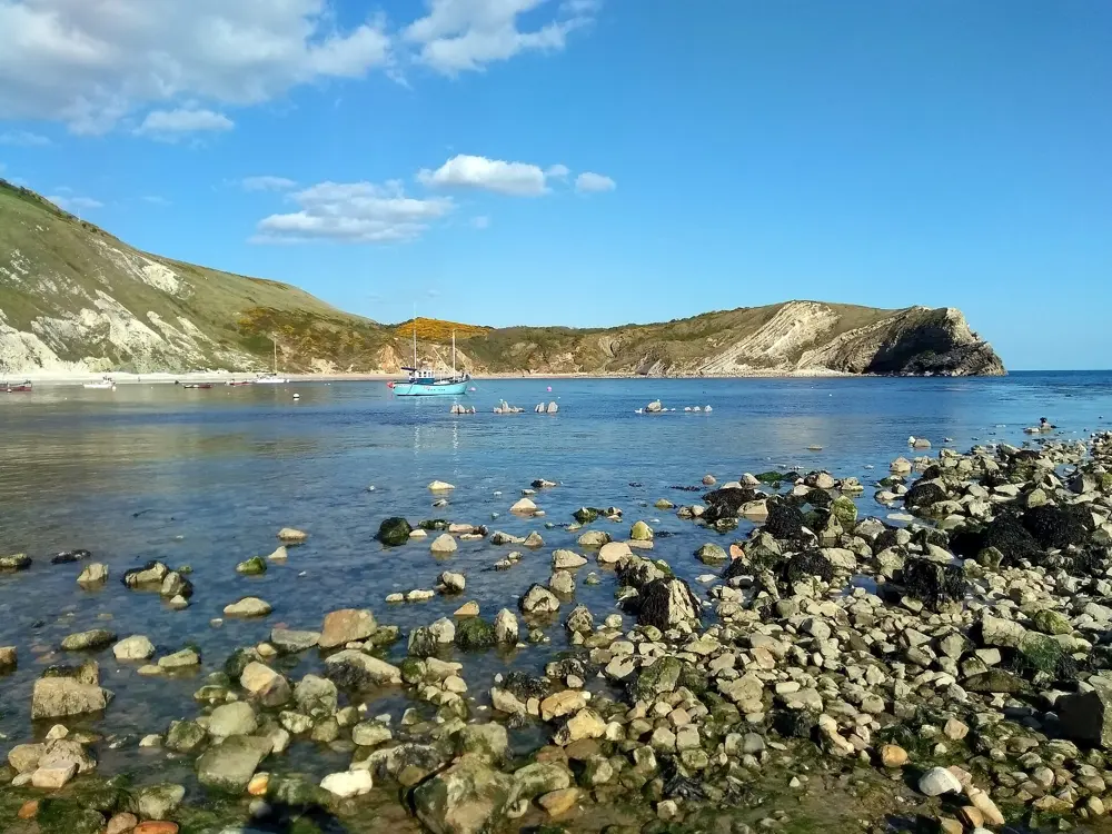
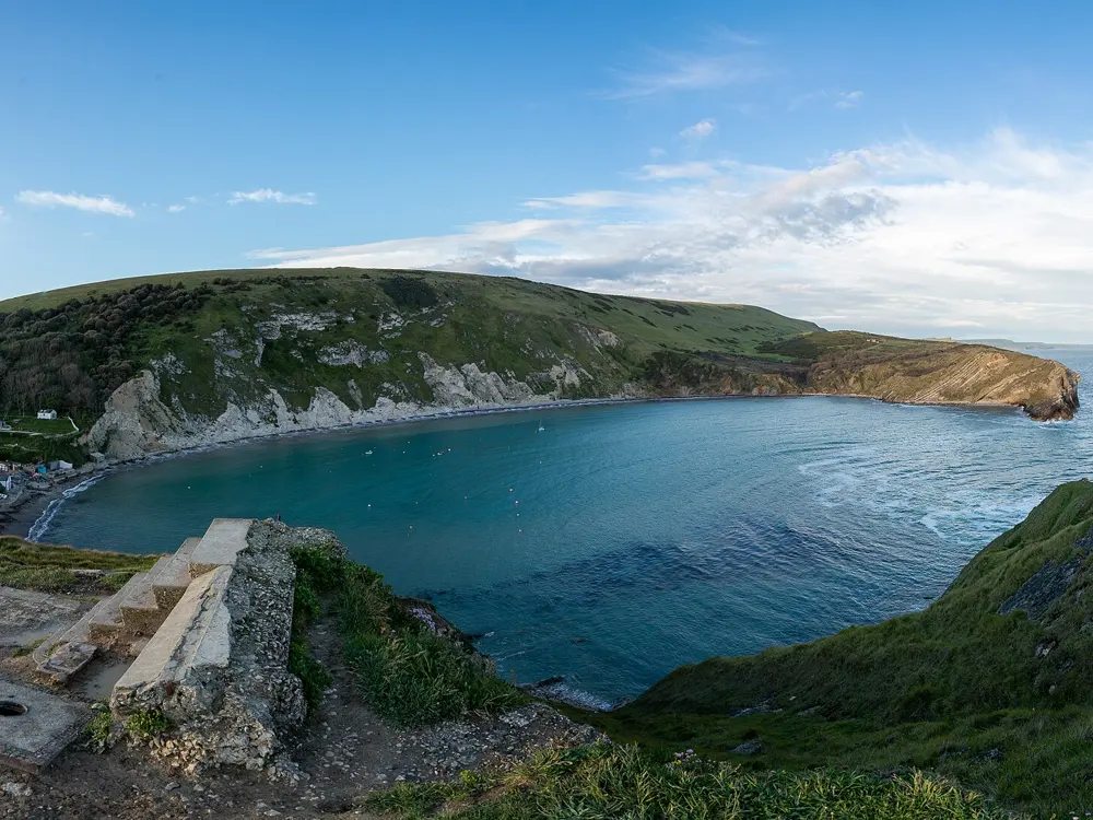
Lulworth Cove from the hill above, a round bay of blue water almost enclosed by cliffs, with the village in front

Photos: Martin Tester (CC BY-SA 2.0), Paste at English Wikipedia (Public domain), PAUL FARMER (CC BY-SA 2.0), Brian Deegan (CC BY-SA 2.0)

Distance
About a mile along the coast path to Durdle Door
Boats
5 knot speed limit in the cove
Visitors
About 500,000 a year
Lifeguards
None

Why go

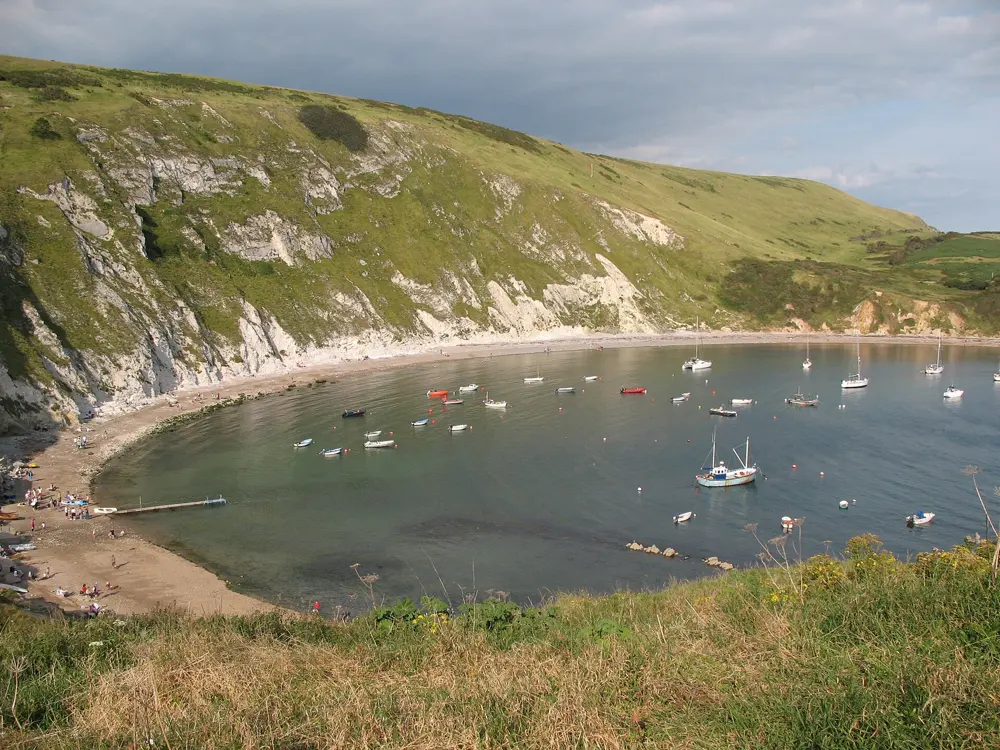
Lulworth Cove is an almost round bay of clear water on the Jurassic Coast, the Dorset and East Devon coast made a World Heritage Site in 2001. The sea broke through a narrow gap in a band of limestone and then hollowed out the softer clays and sands behind it, so the cove is nearly closed off from the open sea and its water is usually calm. The Lulworth Estate, which owns the cove and Durdle Door, says its bathing water consistently meets the highest standard. About 500,000 people come each year, nearly a third of them in July and August.

The route

The classic swim is across the cove and back, in water sheltered by the cliffs at its entrance; high tide gives more depth. The rocky floor makes the cove and Man O' War Bay, to the west, the best snorkelling on the estate. From the cove the South West Coast Path climbs over Hambury Tout to Durdle Door, about a mile away, a limestone arch standing in the sea at the end of a beach. The estate says swimming is possible from all its beaches except Stair Hole, the small inlet beside the cove. Durdle Door is far more exposed, though: the Swanage guide advises against swimming at Durdle Door and Man O' War because the beaches shelve steeply and rip currents form.

When to go

Late spring and September are quieter than the summer holidays, when the car parks and beach fill. Pick a calm day, as the cove is only sheltered when the wind and swell are low.

Getting there

Wool station, on the Waterloo to Weymouth line, is 7 km north. The Jurassic Breezer 31 bus runs hourly in a loop from Wool station to Durdle Door and Lulworth Cove, daily from May to September and on fewer days outside that. Parking at the Lulworth Cove car park costs £9 for up to three hours and £32 for more than nine.

Permits and booking

No permit is needed to swim. Boats may not be launched without arranging it with the estate first, and the 5 knot limit in the cove applies to all craft. The path to Durdle Door was reported closed after storm damage in February 2026, so check the estate's site before walking over.

How hard it is

Easy in calm weather. There are no lifeguards at the cove, and divers are warned not to leave it, as currents outside pull along the coast. Stay away from the foot of the cliffs, where rock falls. Durdle Door is for strong, experienced sea swimmers on calm days only, and the 150 or so steep steps down to it get slippery.

Where to sleep

West Lulworth, just above the cove, has inns and guest houses, and the Durdle Door Holiday Park sits on the cliff above Durdle Door.

Tips

  • Come early in summer: the cove car park fills and the bus runs only hourly.
  • Bring a mask; the rocks at the cove's edges are full of fish and weed.
05 / 10

Windermere

Lake District, Cumbria, England

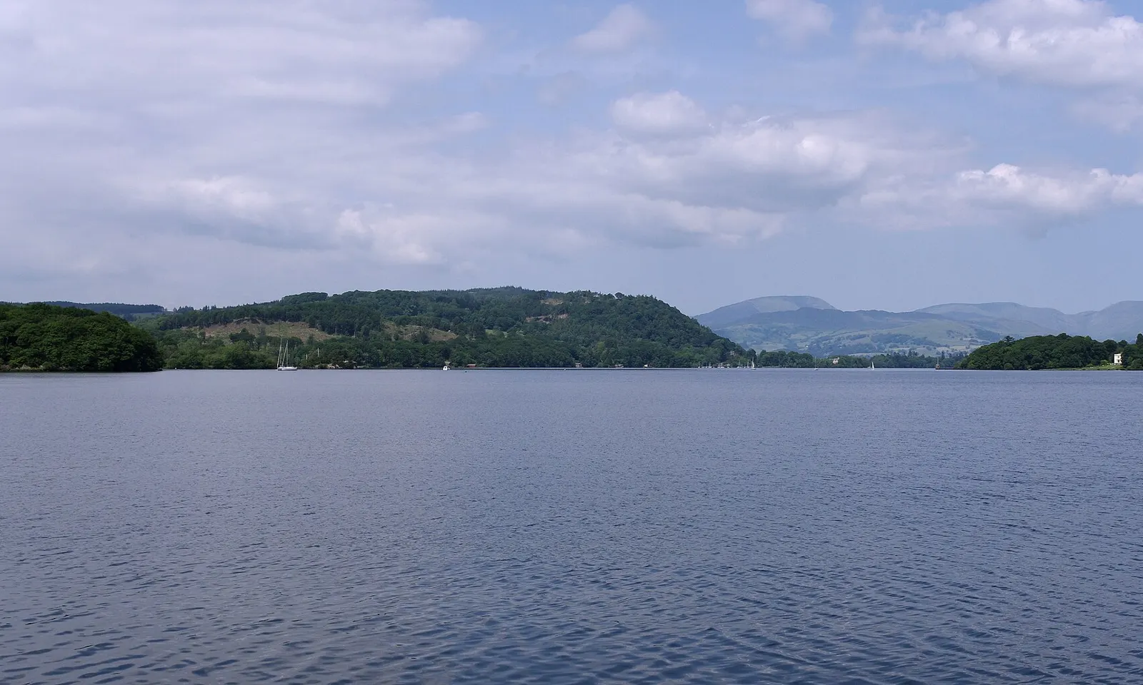
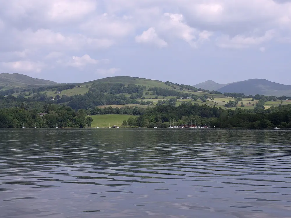
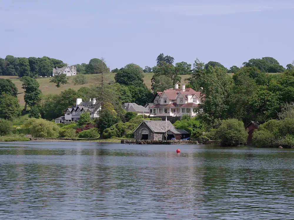
Windermere stretching away under a pale sky, with low wooded hills and distant fells beyond

Photos: mattbuck (category) (CC BY-SA 3.0), mattbuck (category) (CC BY-SA 3.0), mattbuck (category) (CC BY-SA 3.0), mattbuck (category) (CC BY-SA 3.0)

Distance
10.5 miles, Fell Foot to Waterhead
Depth
Up to about 64 to 67 m
Bathing waters
Four, rated excellent
Boats
10 knot limit for powered craft

Why go

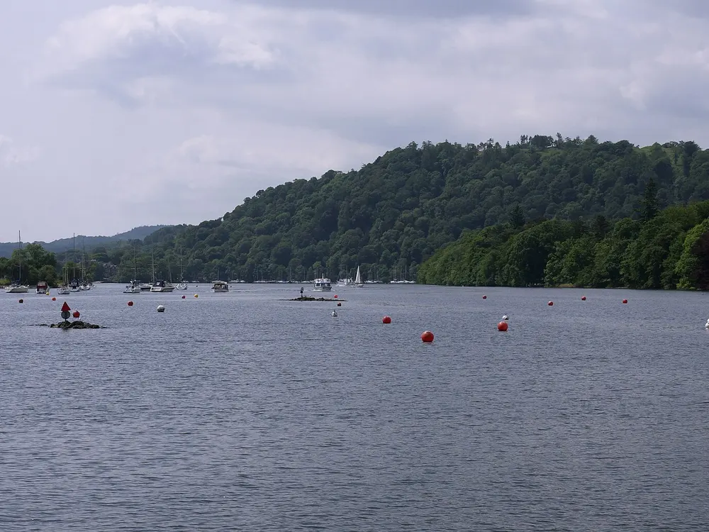
Windermere is the largest natural lake in England, about 10.5 miles long and a mile wide, with fells on every side. Its full length is one of the classic British marathon swims. Most people come for shorter swims from the shore: four stretches are monitored as bathing waters by the Environment Agency, Rayrigg Meadow, Millerground, Lakeside YMCA and Fell Foot, and all four were rated excellent.

The route

The full length, 10.5 miles from Fell Foot to Waterhead near Ambleside, is recognised by the British Long Distance Swimming Association when it is swum unassisted under its rules, at its championship or as an observed private swim. Hector Pardoe set the record in 2023 in 3 hours 40 minutes 28 seconds. Every June the Great North Swim starts from the Brockhole shore, with distances from 250 m to 10 km; in 2026 it ran from 12 to 14 June. For a quiet swim, Millerground, north of Bowness, is a short walk from the road. Swim along the shore rather than across, out of the way of boats.

When to go

Summer, when the water is at its least cold; even then the national park warns that deep lakes can be cold, and the water deeper down is colder than at the surface. Blue green algae can appear in warmer months.

Getting there

Windermere station, opened in 1847, has trains from Oxenholme on the West Coast Main Line, and it is about 2 km from the lake. Bowness is the only town on the shore. Summer ferries run from Lakeside to Fell Foot and from Bowness to Far Sawrey.

Permits and booking

No permit is needed to swim. Powered boats must be registered and keep to 10 knots, and three 6 knot zones apply to every craft. The national park's swim safe code asks for a bright hat, a tow float and ideally a kayak or paddleboard alongside showing a blue and white Alpha flag.

How hard it is

Windermere is busy with motorboats, sailing boats and cruisers, and swimmers are hard to see, so the park asks you to keep to the shore and never swim alone. You cannot tell by looking whether algae is harmful, so stay out if you see any and check the Environment Agency's bloom map. Campaigners have questioned the water quality ratings after illness in 2025. In an emergency call 999 for the coastguard.

Where to sleep

Bowness and Windermere have the most hotels and guest houses, Ambleside is at the north end, and there are hostels and campsites around the lake.

Tips

  • Check the Environment Agency's algal bloom map on the morning of your swim.
  • Wear a bright cap and tow a float even close to shore; skippers do not expect swimmers.
06 / 10

The Blue Lagoon, Abereiddi

Pembrokeshire, Wales

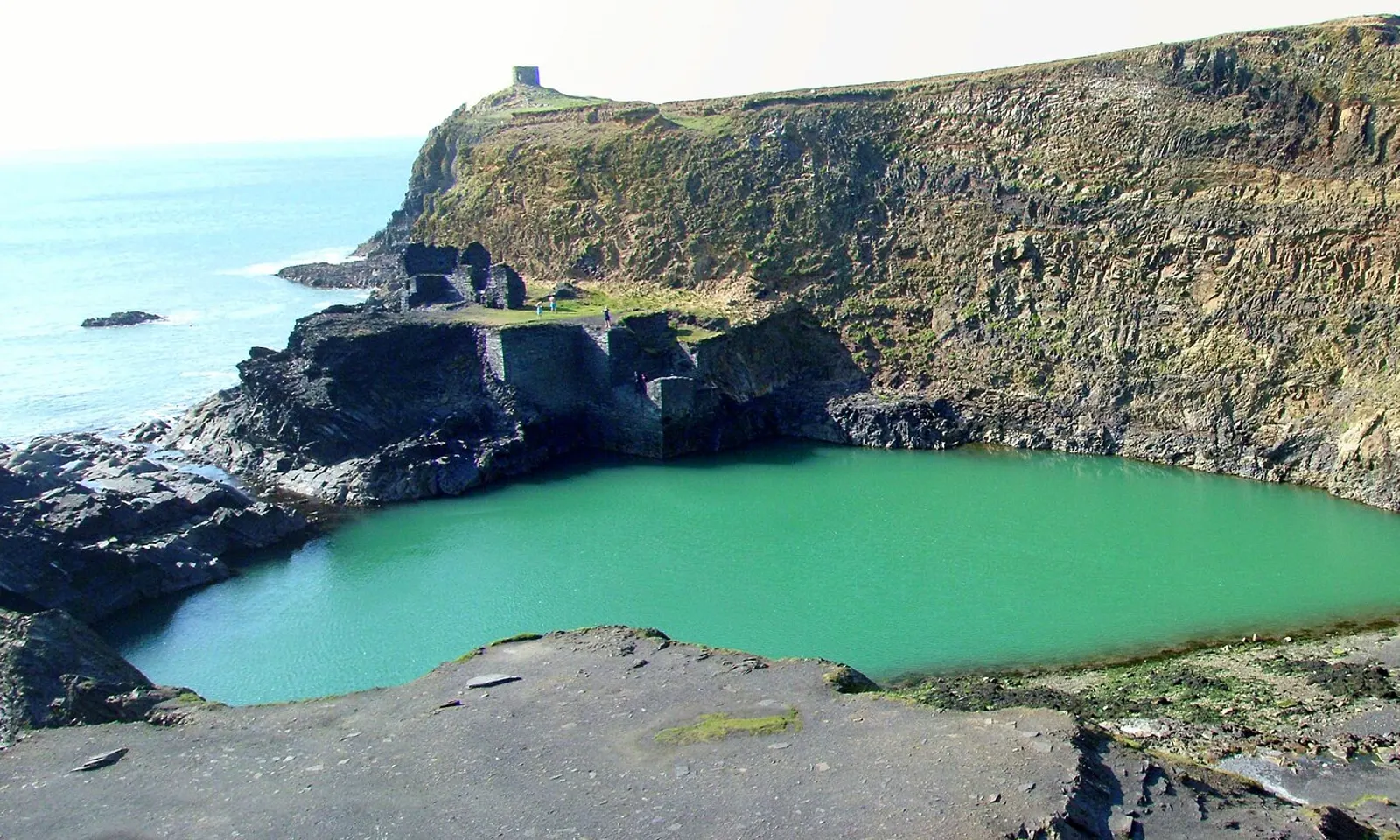
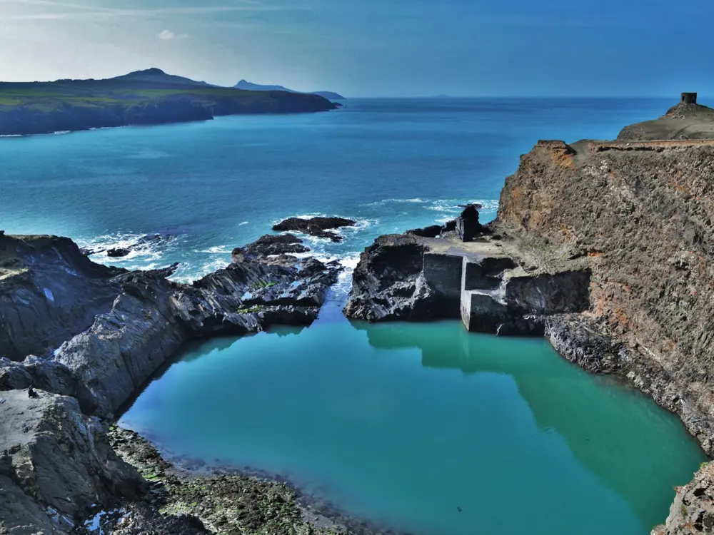
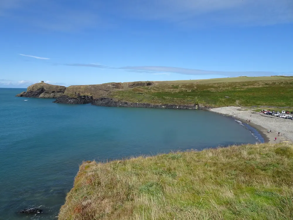
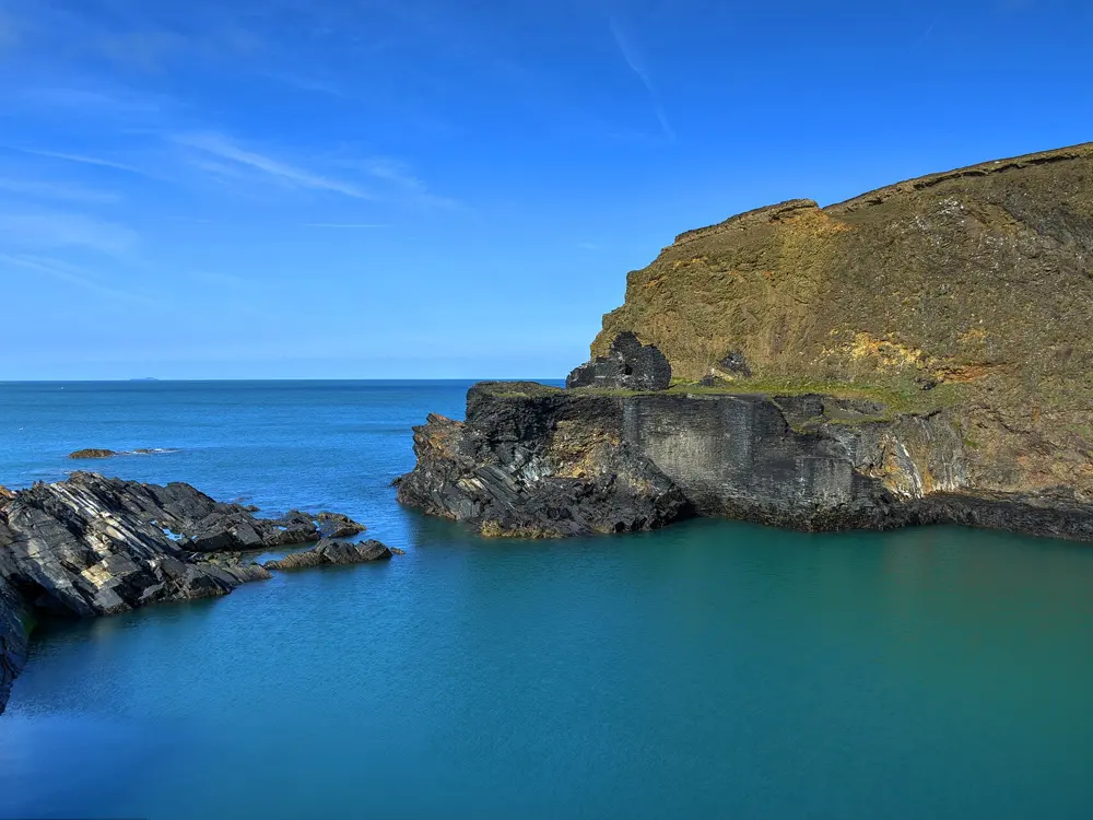
The Blue Lagoon at Abereiddi, a pool of green water inside slate quarry walls, with the ruined tower on the headland above

Photos: Cleopatra Browne (CC BY-SA 3.0), Deborah Tilley (CC BY-SA 2.0), Nigel Thompson (CC BY-SA 2.0), August Schwerdfeger (CC BY 4.0)

Distance
About 5 miles from St Davids
Depth
About 25 m
Closed
21 September to 7 November for seal pups
Parking
£4 a car per day, April to October

Why go

The Blue Lagoon is a flooded slate quarry on the Pembrokeshire coast, owned by the National Trust. It was the main quarry of the St Brides Slate Company until 1910; when a channel to the sea was blasted open, the sea flooded in, and the slate walls now hold a deep pool of blue green seawater. The quarry ruins still stand on the clifftop. It is about 25 m deep, sheltered from the waves by its walls, and the Red Bull Cliff Diving World Series made its UK debut here in 2012, diving from a platform 27 m above the water, and came back in 2013 and 2016.

The route

Swim out from the old channel across the lagoon and along its walls; the water is calm when the sea outside is rough, but it is deep and cold everywhere. Coasteering groups use the cliffs at sea level, and Celtic Quest runs guided sessions in which all jumps are optional. The next beach north, Traeth Llyfn, and the open beach at Abereiddi beside the lagoon give a sea swim, and the Pembrokeshire Coast Path runs past all three.

When to go

Summer, when the lagoon is popular for coasteering and kayaking. The National Trust closes the lagoon and Traeth Llyfn from 21 September to 7 November to protect grey seals and their pups, so it is closed now and reopens on 8 November.

Getting there

Abereiddi is just over 5 miles from St Davids, about 14 minutes by car. The 404 Strumble Shuttle bus between St Davids and Fishguard stops at Abereiddi; the council's latest summer notice gave a daily service from 23 May to 27 September. The car park is a short walk from the lagoon.

Permits and booking

No permit is needed to swim. There is an all day parking charge from April to October of £4 a car or £10 a minibus, paid to the attendant in cash or by card.

How hard it is

There are no lifeguards. The lagoon is very deep and cold all year, so enter slowly to avoid cold water shock and do not jump from the walls unless you are with a guide who knows the depths. Natural Resources Wales tests the water at Abereiddi beach and it is of high quality.

Where to sleep

St Davids, a short drive or bus ride south, has hotels, guest houses and campsites.

Tips

  • Walk the coast path north to Porthgain, the harbour the quarry's slate was taken to by tramway.
  • Bring a wetsuit or plan a short swim; the water is cold even in August.
07 / 10

Llyn Padarn

Llanberis, Eryri (Snowdonia), Wales

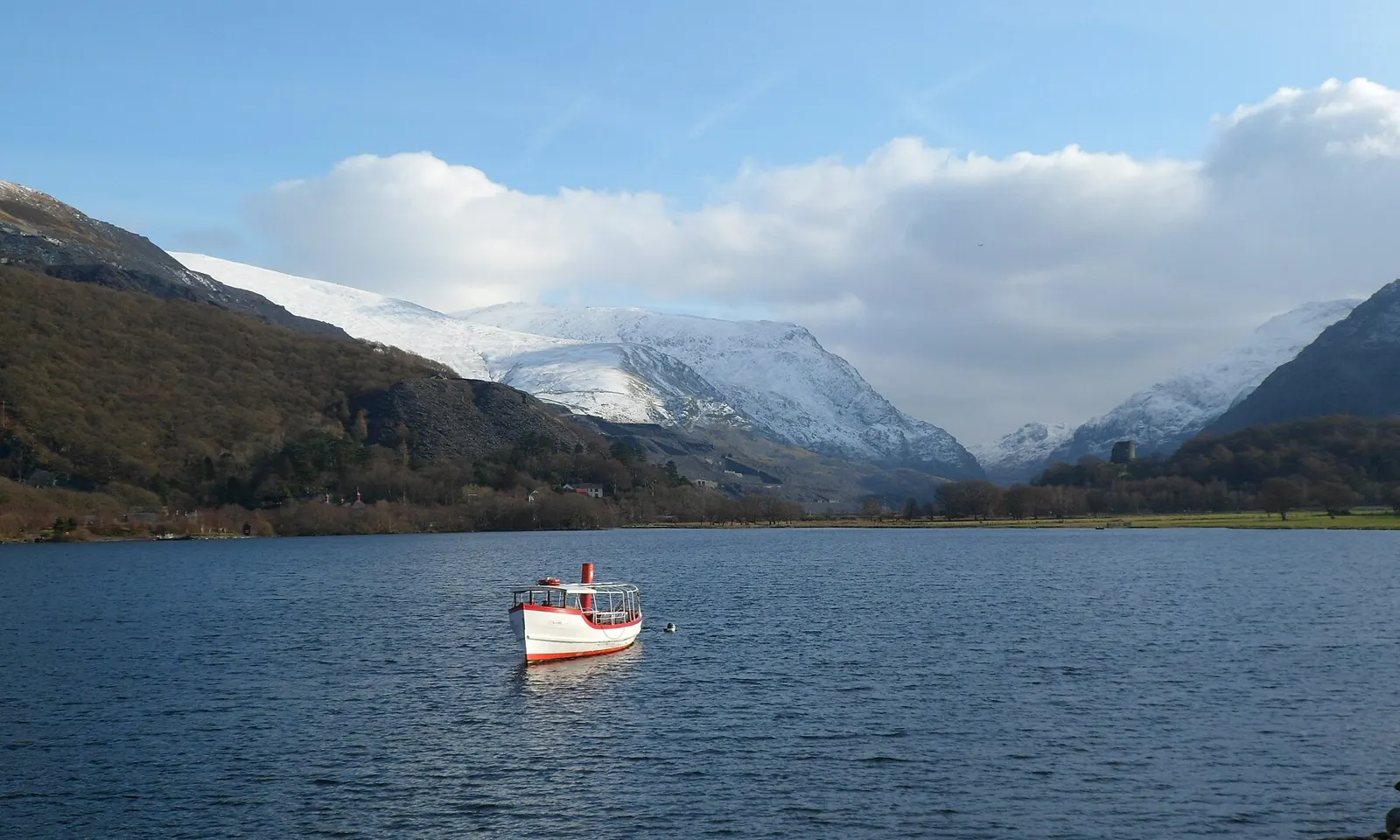
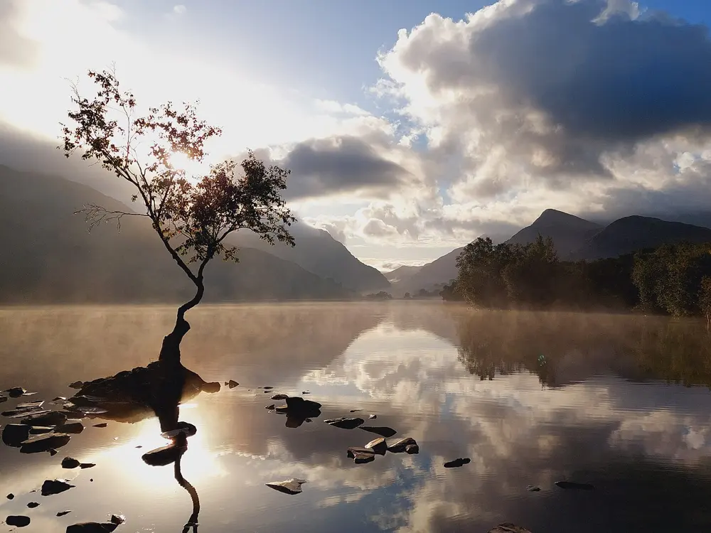
Llyn Padarn under a blue sky, with a small boat on the water and snow covered mountains at the head of the valley

Photos: Meirion (CC BY-SA 2.0), Steve Daniels (CC BY-SA 2.0), I Love Colour (CC BY-SA 2.0), Mike Pennington (CC BY-SA 2.0)

Distance
About 2 miles (3.2 km) long
Depth
29 m at the deepest
Status
Wales's only inland designated bathing water
Water quality
Consistently excellent

Why go

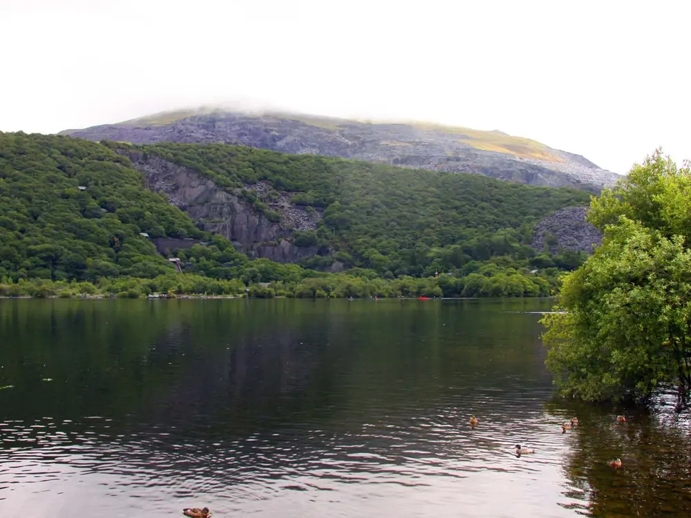
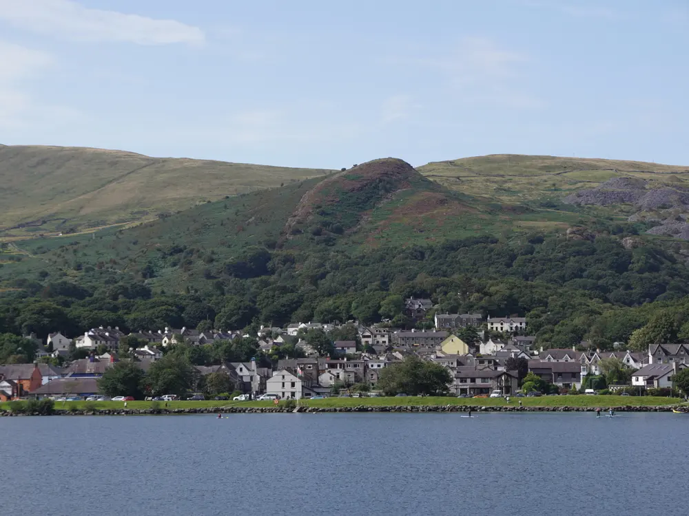
Llyn Padarn is a glacial lake at Llanberis, at the foot of Yr Wyddfa (Snowdon), and Visit Wales says a swim in it gives a view of the mountain like no other. It was designated a bathing water in 2014, the only inland freshwater lake in Wales with that status, and Natural Resources Wales tests it through the summer; it consistently rates excellent. Most of the lake belongs to Gwynedd Council as part of Padarn Country Park, and both the lake and the old oak wood of Coed Allt Wen on its shore are Sites of Special Scientific Interest. Rowers raced here in the 1958 British Empire and Commonwealth Games.

The route

Most swimmers start from the lagoons on the south side of the lake, where the entry is easy, and swim along the shore with Snowdon ahead. The lake is about 2 miles long, so a length of the lake and back is a long swim for strong swimmers. The Slateman triathlon starts in the lake, its sprint race with a 750 m swim, and there are longer races in the same event. Snowdonia Watersports, nearby, runs assisted swim sessions for newcomers, and a sauna opened on the lake in October 2024.

When to go

Late spring to early autumn, in calm, settled weather; the lake is popular in summer. The water is cold year round, and guides advise a wetsuit in any season.

Getting there

Llanberis is on the Sherpa'r Wyddfa bus network: the S1 from Caernarfon takes about 25 minutes and the S2 from Bangor about 50, both ending at the Llanberis interchange. Toilets, cafés and parking are in Llanberis and Padarn Country Park.

Permits and booking

No permit is needed to swim. The car parks by the lake are pay and display.

How hard it is

The lake is not generally lifeguarded. It is deep and cold, with steep drop offs, and the park warns that some areas fall away abruptly, so check the depth before you go in and do not jump or dive. Slate on the bottom can be sharp, so wear shoes.

Where to sleep

Llanberis has hotels, guest houses, hostels and campsites, many used by walkers heading up Snowdon, and Caernarfon is a short bus ride away.

Tips

  • Swim early on a still morning, when the lake is calm enough to reflect Snowdon.
  • Bring reef shoes for the slate at the edges.
08 / 10

The Fairy Pools

Glen Brittle, Isle of Skye, Scotland

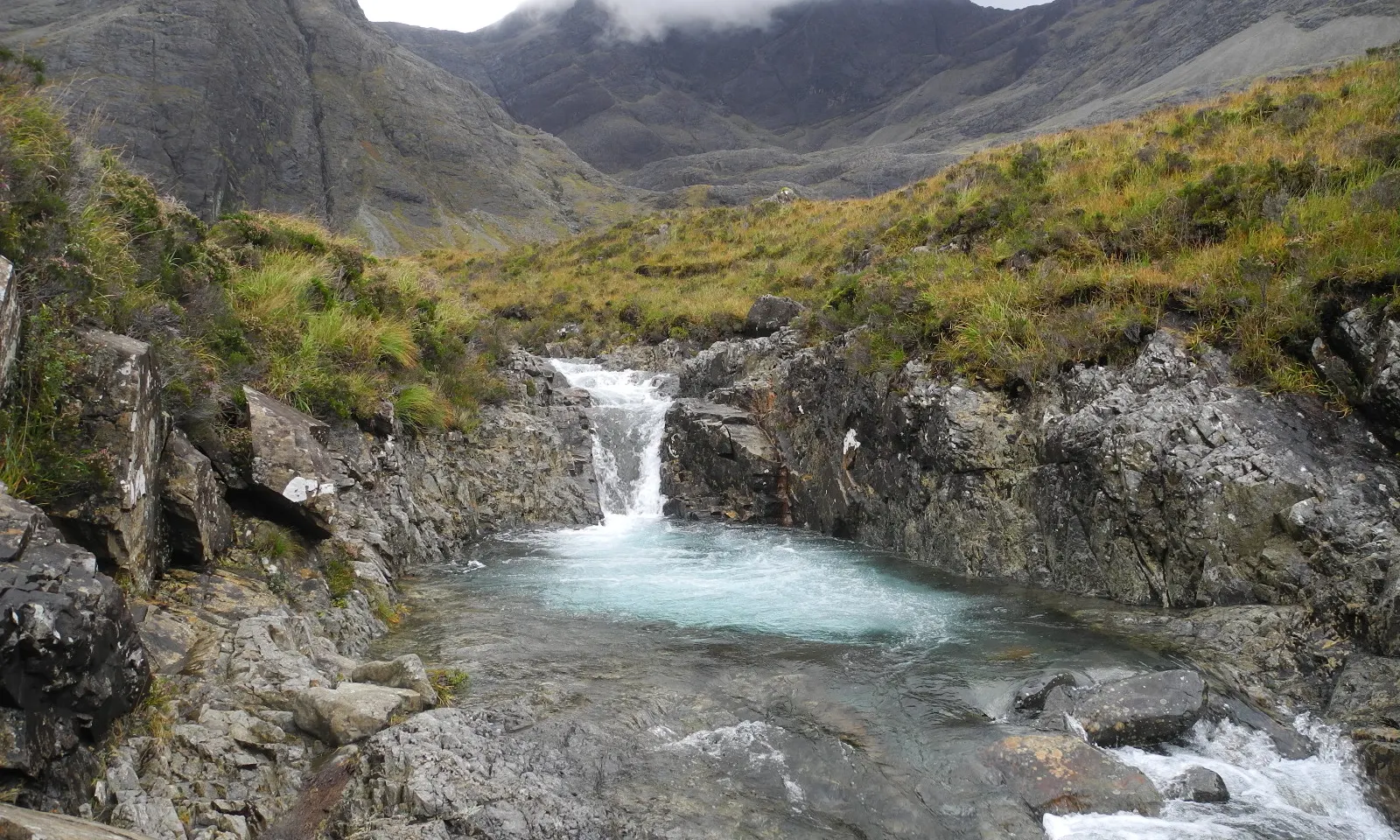
A waterfall pouring into a pool of pale blue water at the Fairy Pools, with the dark Cuillin peaks under cloud behind

Photos: Drianmcdonald (CC BY 4.0), Drianmcdonald (CC BY 4.0), Drianmcdonald (CC BY 4.0), Drianmcdonald (CC BY 4.0)

Distance
2.4 km walk from the car park
Car park
177 spaces, charge per vehicle
Water
Cold all year; wetsuit advised
Lifeguards
None

Why go

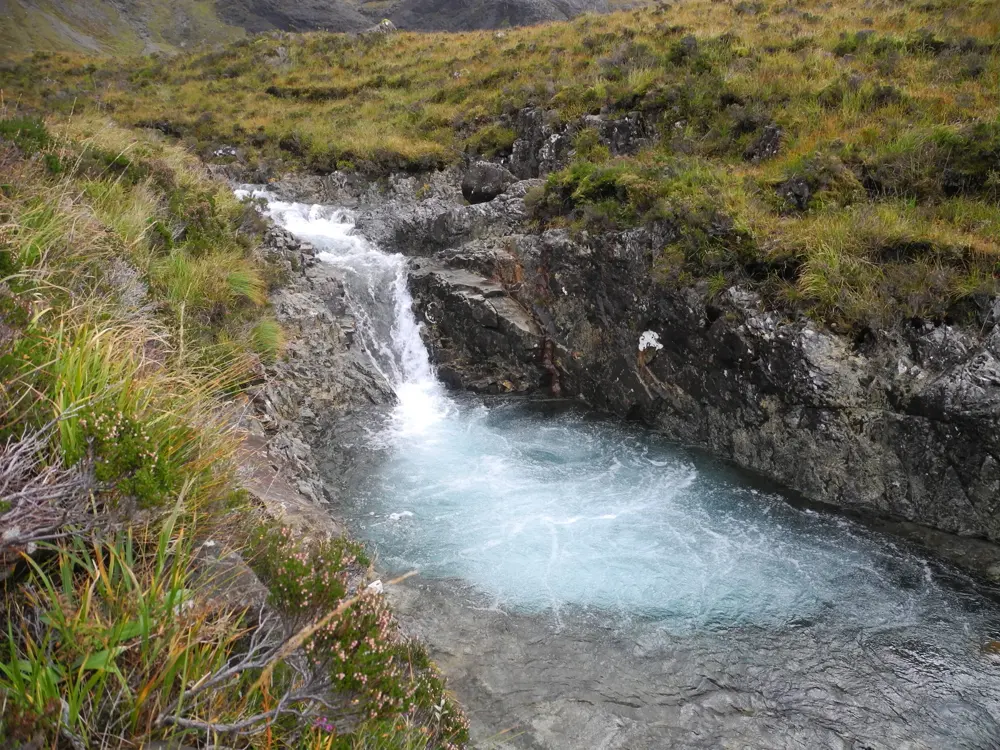
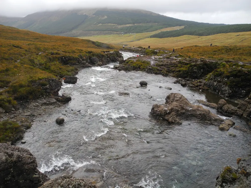
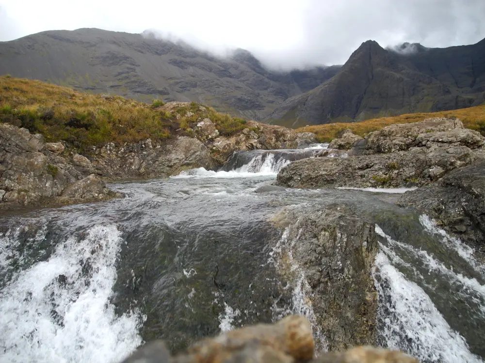
The Fairy Pools are a chain of clear pools and small waterfalls on a burn running down from the Black Cuillin into Glen Brittle, on the Isle of Skye. The water is so clear you can see the pebbles at the bottom of the deep pools, with the ridge of the Cuillin above. They have become one of the most visited places on Skye, and the community and the Outdoor Access Trust for Scotland built a car park, toilets and a better path to cope.

The route

From the car park a gravel path with bridges runs 2.4 km up the glen to the pools; allow about 30 minutes each way. The path follows the burn past a series of falls and pools, and you can swim in any that is deep and calm enough. The best known has a rock arch you can swim under, with pebbled ledges around it.

When to go

Summer, for the least cold water, though it is cold even then. Early in the morning, before 10am, or in the evening, avoids most of the crowds. Stay away after heavy rain, when the burn rises fast.

Getting there

Glen Brittle is reached by a single track road from Carbost; in July and August it gets very busy, and if traffic is heavy at the Carbost turning, come back another time. Vehicles over 8 m are not allowed in the car park, which is staffed, one way, with toilets.

Permits and booking

No permit is needed to swim. The car park belongs to the Minginish Community Hall Association and is run by the Outdoor Access Trust for Scotland, which sets the charges and spends them on the site; its pages have listed a car at £6 and at £8, so check before you go. Payment is by contactless card, Apple Pay or cash.

How hard it is

The walk is easy but can be wet and rocky. The water is very cold, so get in slowly and keep swims short. Some pools are too deep to stand in, so know how you will get out before you go in, never swim in fast or flooded water, and watch for undercut banks.

Where to sleep

Carbost, at the start of the Glen Brittle road, and Portree and the rest of Skye have hotels, guest houses and campsites.

Tips

  • Bring a wetsuit; the guides and the estate both advise one.
  • Wear boots for the path, which can be boggy on the way back.
09 / 10

Loch Lomond

Loch Lomond and The Trossachs National Park, Scotland

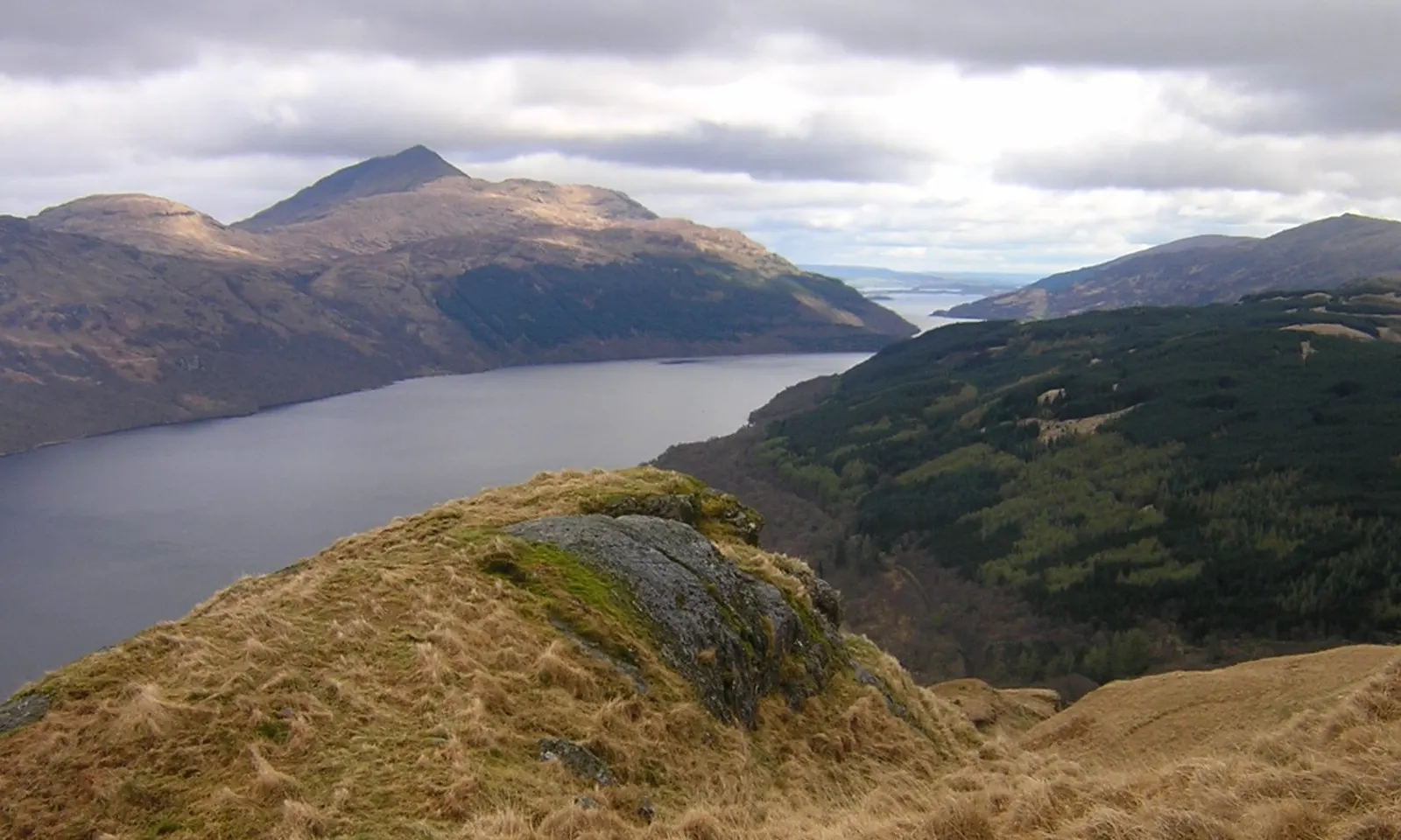
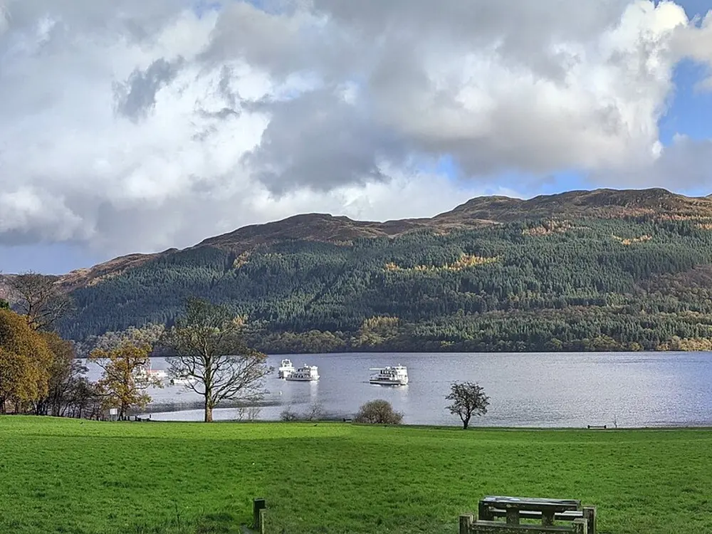
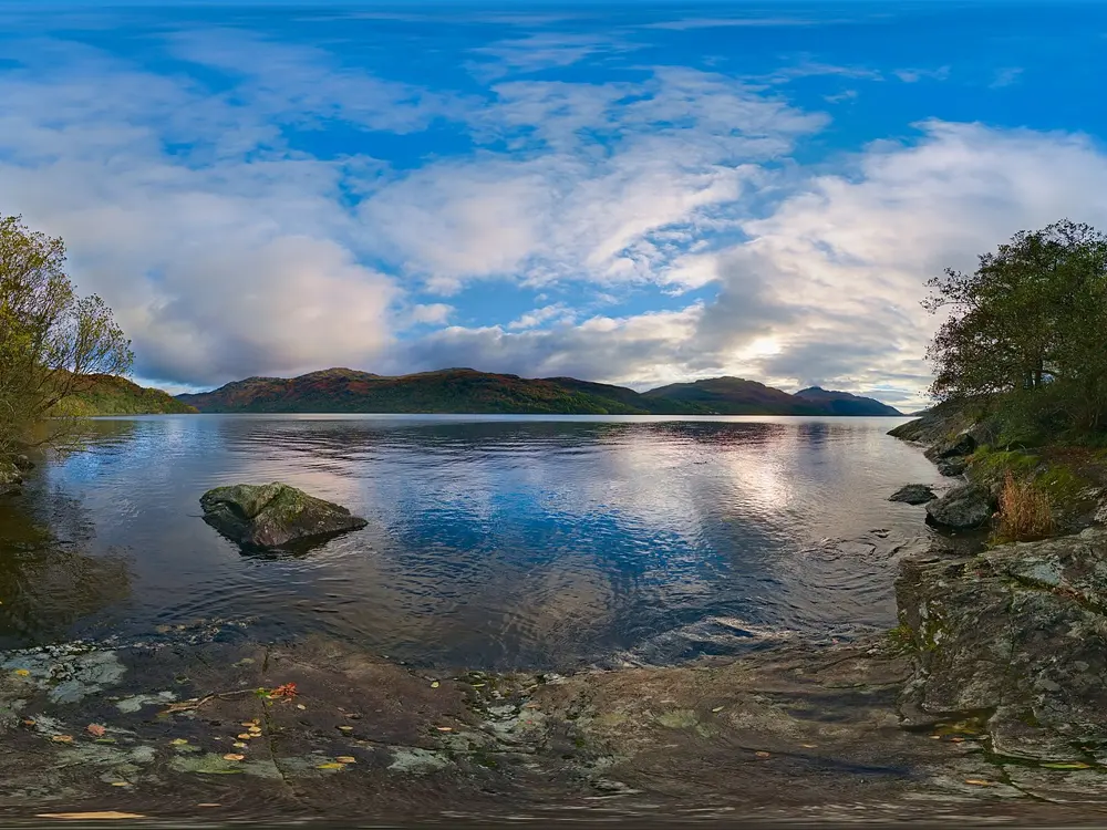
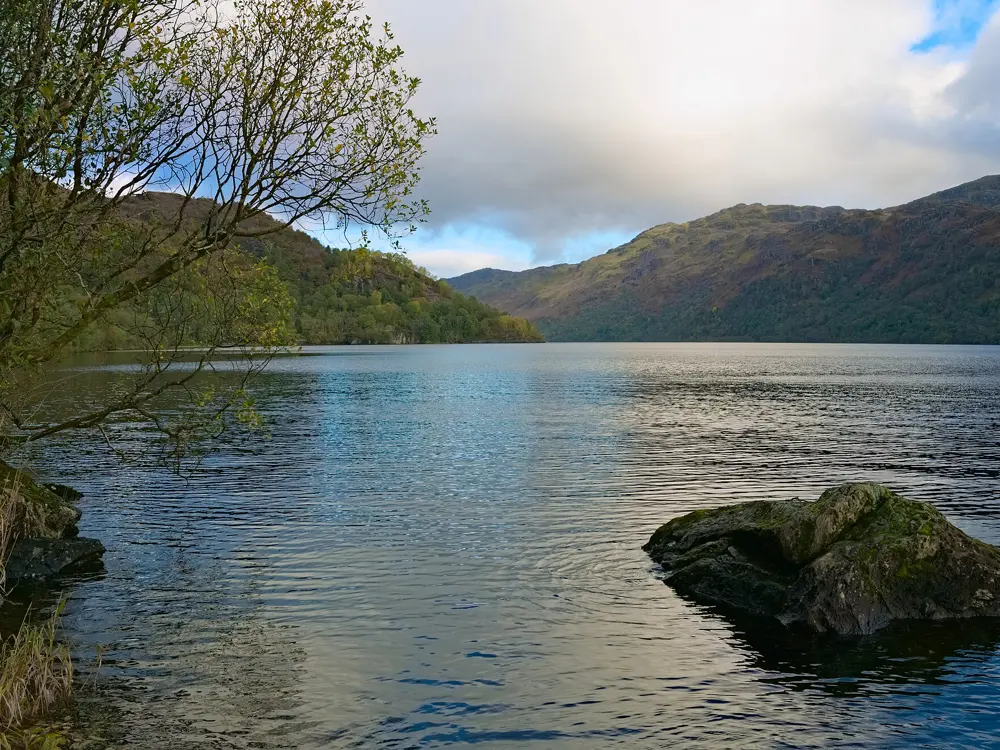
Loch Lomond from a rocky hillside, the long loch between dark mountains with Ben Lomond above

Photos: Wikimedia Commons (CC BY 2.0), Chase me ladies, I'm the Cavalry (CC BY 3.0), Daniel Kraft (CC BY-SA 3.0), Daniel Kraft (CC BY-SA 3.0)

Distance
36.4 km (22.6 miles) long
Area
71 sq km, Britain's largest lake
Bathing water
Luss Bay, season 1 June to 15 September
Rangers
Balloch, 01389 722030

Why go

Loch Lomond is the largest lake in Great Britain by surface area, 36.4 km long and up to 8 km wide, with more than thirty islands in its broad southern half and steep mountains closing in around its narrow north. Each year thousands of people swim in it at mass events. The south of the loch is mostly shallow, rarely over 30 m, while the northern basin goes down to about 190 m.

The route

On the east shore, Milarrochy Bay near Balmaha is the national park's named swimming spot, with a car park beside it and a shelving entry. Luss Bay on the west shore is a designated bathing water, sampled by SEPA through the bathing season. In late August Go Swim Loch Lomond offers distances from 250 m to 10 km; in 2025 it was held on 30 August. Swimmers also take on the whole length: a relay team planned to swim all 36.4 km in August 2026, to be ratified by the British Long Distance Swimming Association.

When to go

July and August, when the water is at its warmest and the big swims are held. The bathing water season runs from 1 June to 15 September. Avoid swimming after heavy rain, when run off reaches the loch.

Getting there

Trains run to Balloch, at the south end, on the North Clyde line from Glasgow, and the West Highland line stops at Arrochar and Tarbet and at Ardlui in the north. Balmaha is at the end of the B837 on the east shore, and Luss is just off the main road on the west.

Permits and booking

No permit is needed to swim. The park asks swimmers to keep clear of busy boating and ferry areas, and to clean, check and dry kit before moving to another loch to stop invasive species spreading.

How hard it is

The park warns that the depth can change suddenly, sometimes very close to the shore, and that a swell can build quickly when the wind shifts. Wear a bright cap, use a tow float, swim with at least one other person and, if you can, have a kayak alongside flying the Alpha flag. Watch for fishing line near the shore. Blue green algae can appear in warmer months; report blooms to the council or SEPA. Swimmer's itch is possible, so towel off when you get out. In an emergency call 999 and ask for the police and the rescue boat.
Where to sleep

Balloch, Luss and Balmaha have hotels and inns, and there are campsites and hostels along both shores and on the West Highland Way.

Tips

  • Milarrochy Bay drops off quickly a little way out, so stay inside your depth on a first swim.
  • Call the rangers at Balloch for advice on conditions before a longer swim.
10 / 10

Portrush

Causeway Coast, County Antrim, Northern Ireland

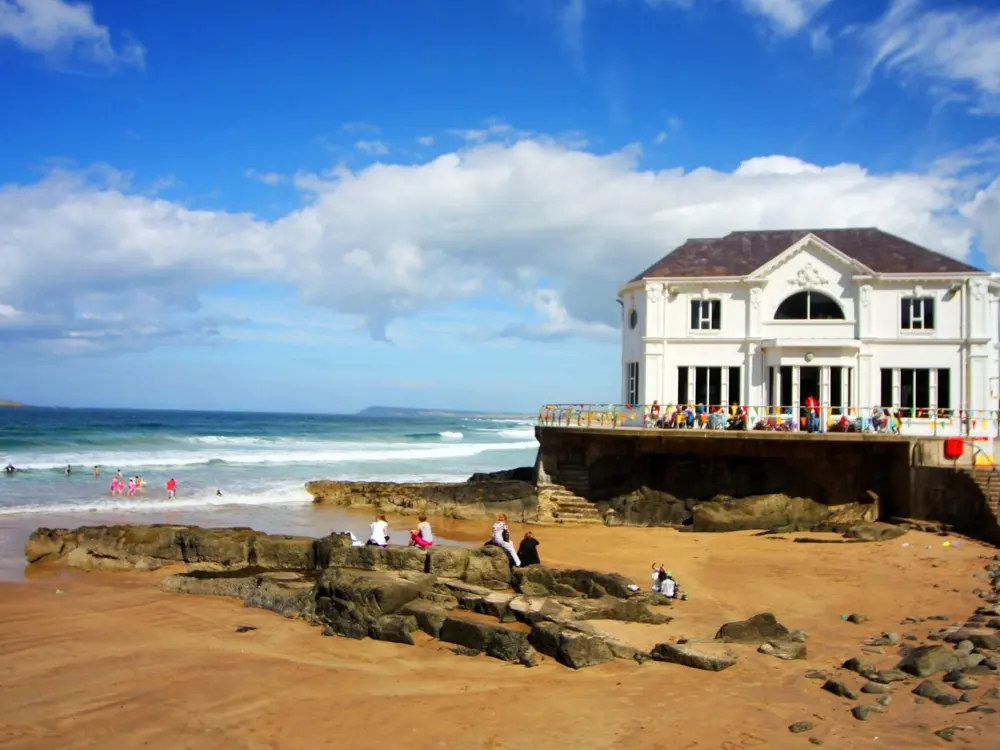
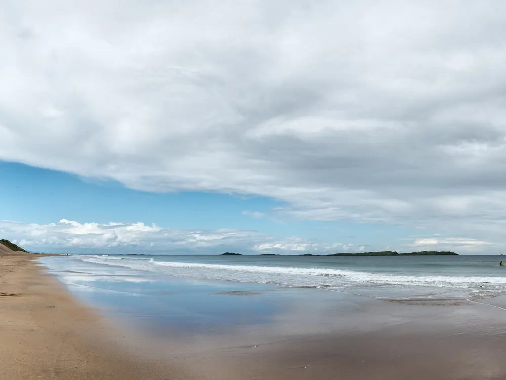
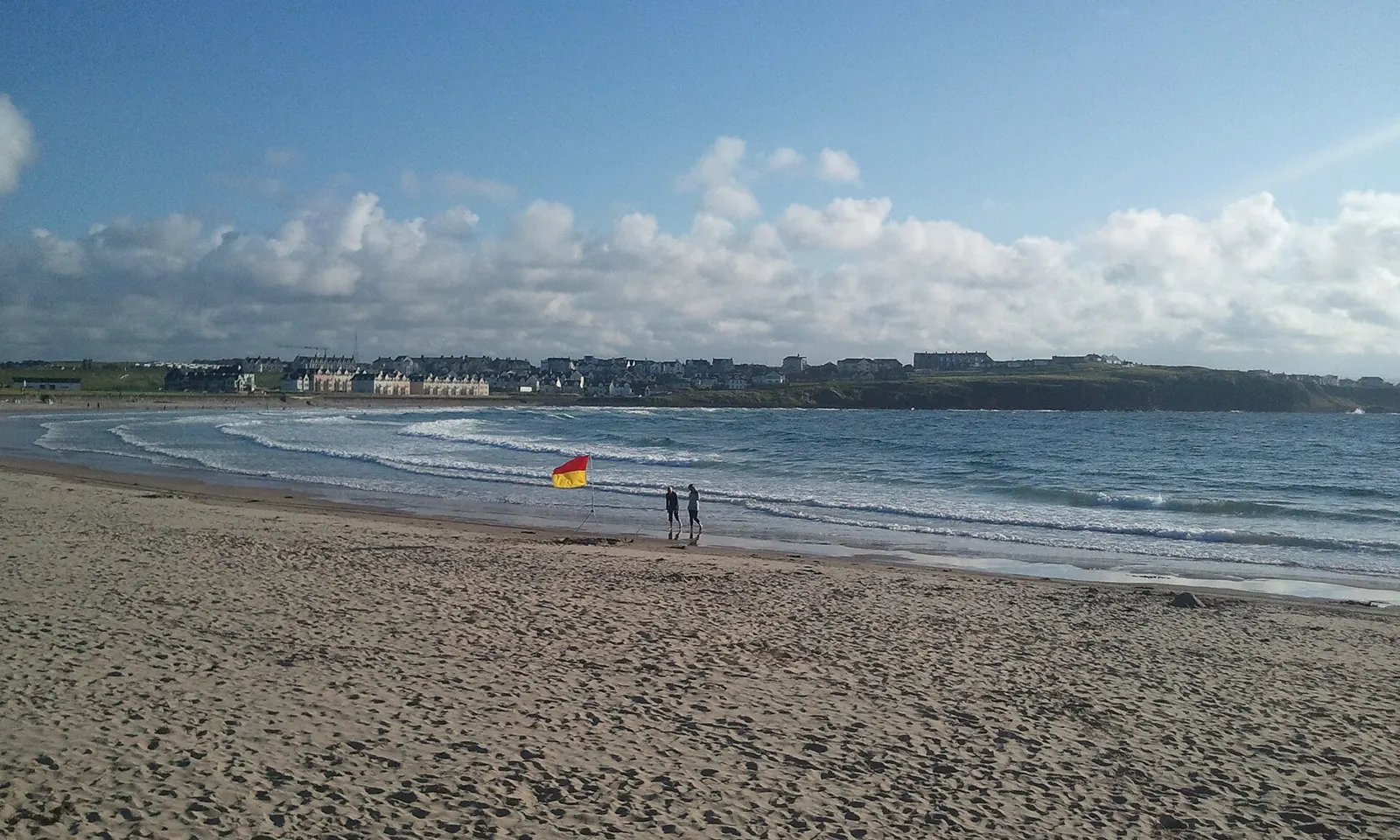
The wide sand of Portrush East Strand on a bright day, with the town along the shore behind

Photos: Aaron Keys (CC BY-SA 3.0), Yvonne Wakefield (CC BY-SA 2.0), Giorgio Galeotti (CC BY 4.0), Colin Park (CC BY-SA 2.0)

Distance
2 km route from Arcadia Beach
East Strand
About 2.5 km of sand
Lifeguards
East Strand, July and August, 10am to 6pm
Winter sea
About 8 to 10 C

Why go

Portrush sits on Ramore Head, a mile long peninsula on the north coast of Northern Ireland, with a sandy beach on each side of the town and the Skerries, a chain of rocky islets, just offshore. It is the swimming centre of the Causeway Coast: lifeguarded summer beaches, a small town beach that sea swimmers use through the winter, and open water races on the Atlantic. The East Strand runs about 2.5 km east to Whiterocks and often holds the Blue Flag, most recently in 2024.

The route

Arcadia Beach, once called Ladies Beach, is the small beach in front of the town, below the white Arcadia building. It suits a short dip, and experienced swimmers use it for a 2 km route along the coast. The East Strand is the long surf beach for swimming between the red and yellow flags in summer, and the West Strand, also called Mill Strand, by the harbour, is lifeguarded in season too. Swim Ulster holds the Portrush Big Bay Swim from the East Strand Water Sports Centre, with distances from 750 m to 3 km; in 2026 it was on 13 September, and tow floats are mandatory. On Christmas Day people swim at Arcadia and the East Strand.

When to go

July and August, when the RNLI lifeguards are on the East Strand from 10am to 6pm every day. Sea swimmers keep going all year in water of about 8 to 10 C in winter.

Getting there

Portrush station is the end of the Coleraine to Portrush line, and Belfast is about 50 miles away. The East Strand has a pay car park of about 637 spaces, toilets, cold outdoor showers and ramps at both ends of the promenade.

Permits and booking

No permit is needed to swim. On the East Strand dogs are restricted from 1 June to 15 September. Swim Ulster events are booked in advance.

How hard it is

This is the open Atlantic. Rip currents form fast: in August 2025 RNLI lifeguards rescued 11 teenagers caught by a flash rip on the East Strand, and the Causeway Coast lifeboat rescues more than doubled from five in 2024 to twelve in 2025. Whiterocks is known for strong currents. Arcadia has no lifeguards, no beach at full tide and can be wild in winter, so check the tide times.

Where to sleep

Portrush has hotels, guest houses and holiday lets, and Portstewart, next door, has more.

Tips

  • Swim between the red and yellow flags on the lifeguarded beaches.
  • Check the tide before swimming at Arcadia, which has no beach at high water.

Sources

Distances, heights, seasons and permit rules were checked against these pages. Rules change, so check the park or trail authority before you go.