Rungs Labs

Rungs Pilgrimage · Swimming · Russia

The 10 Best Places to Swim in Russia

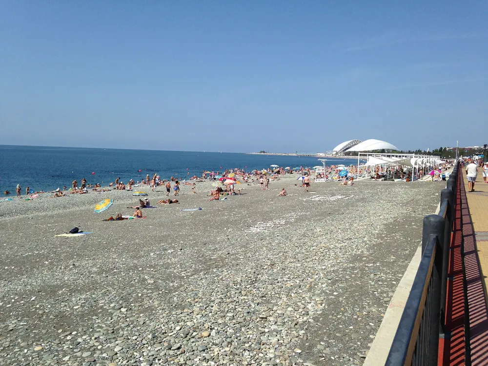
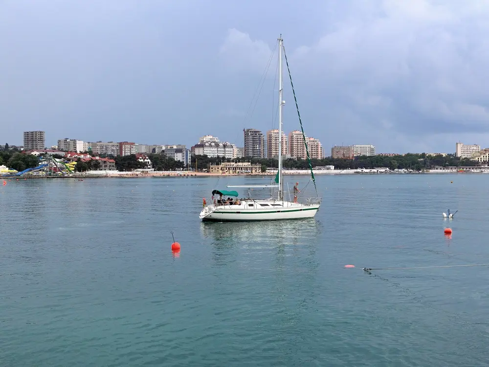
Sochi, Krasnodar Krai, Black Sea. Photo: Niklitov (CC BY-SA 4.0)

Russia's swimming season is short and its best water is spread across the whole country. The Black Sea coast at Sochi and Gelendzhik is the only stretch where the sea is warm from June to September; everywhere else people swim in July and August, in the cool Baltic at Zelenogradsk, in clear lakes such as Seliger, Valdai, Turgoyak and Aya, in the Moskva River in Moscow, in the shallow bays of Baikal's Small Sea and in Vityaz Bay on the Sea of Japan. Official beaches must pass water tests by Rospotrebnadzor, the health regulator, and many popular shores are natural beaches without lifeguards.

For each place you get the classic swims, the water temperature and season, how to get there, the fees and rules, how hard it is and where to stay. Getting there is harder than it was. The UK advises against all travel to Russia and warns that drone attacks can close airports at short notice, and the e-visa is open to citizens of 64 countries, a list that leaves out the UK, the US, Canada and Australia. Every fact comes from official bodies, Russian newspapers, travel guides and the other pages linked at the bottom.

Updated 2026-10-19

  1. 01SochiKrasnodar Krai, Black Sea
  2. 02Gelendzhik BayKrasnodar Krai, Black Sea
  3. 03Maloye More and OlkhonLake Baikal, Irkutsk Oblast
  4. 04Lake TurgoyakMiass, Chelyabinsk Oblast
  5. 05Lake AyaAltaysky District, Altai Krai
  6. 06Zelenogradsk and SvetlogorskKaliningrad Oblast, Baltic Sea
  7. 07Serebryany BorMoscow
  8. 08Lake SeligerOstashkov, Tver Oblast
  9. 09Valdai LakeValday, Novgorod Oblast
  10. 10Vityaz BayGamov Peninsula, Primorsky Krai
01 / 10

Sochi

Krasnodar Krai, Black Sea
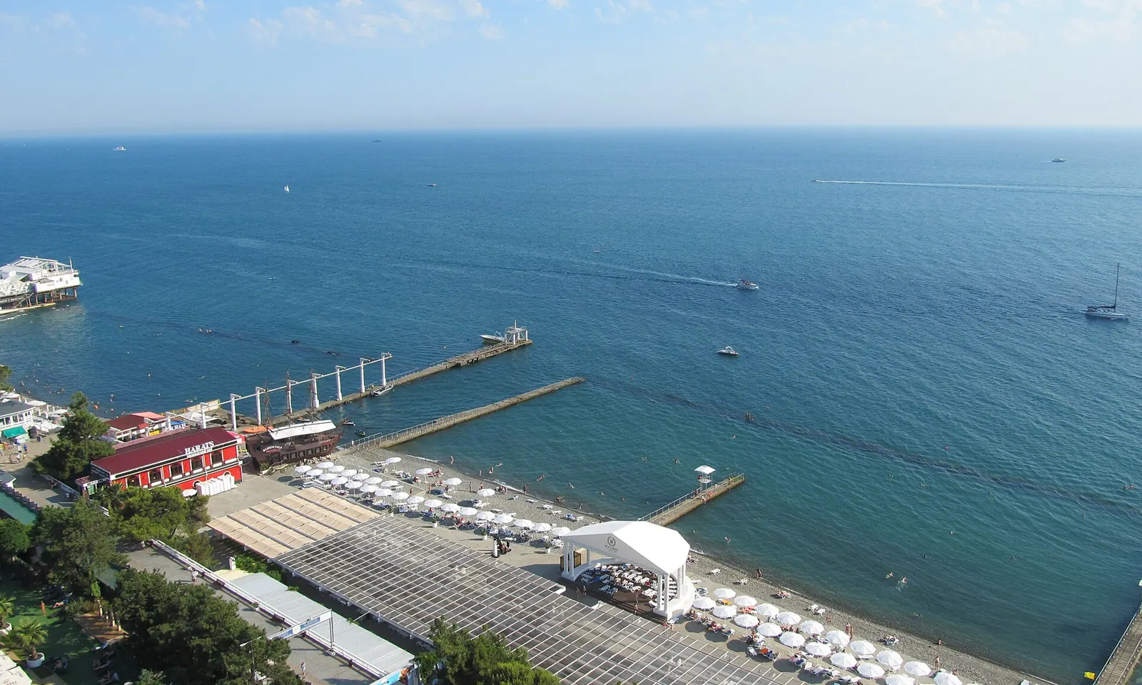
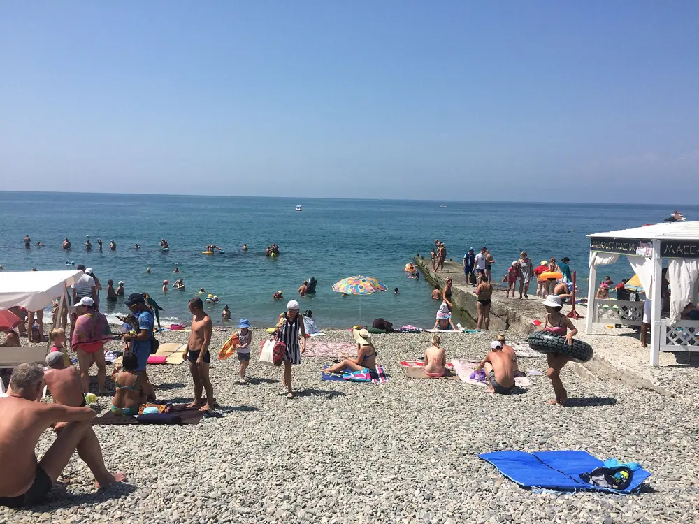
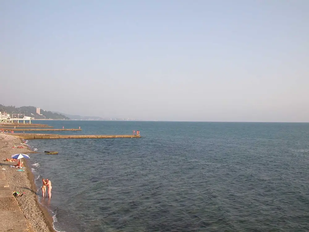
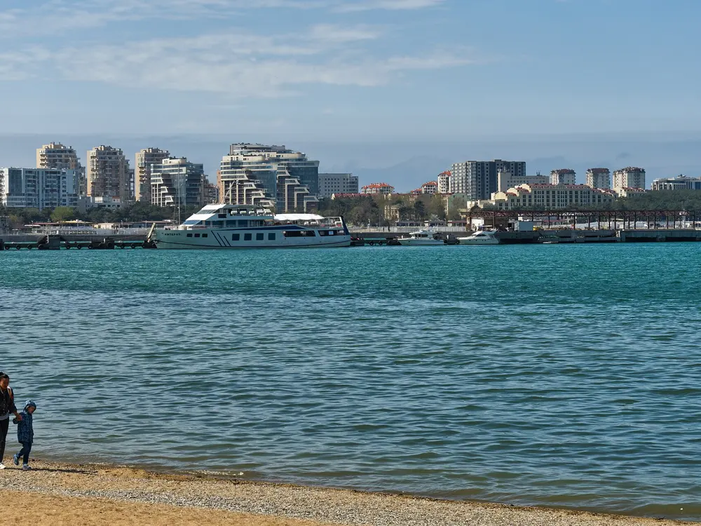
The beach and piers of the Zhemchuzhina hotel in Sochi from above, with the blue Black Sea beyond

Photos: Niklitov (CC BY-SA 4.0), Mahmoodrezamo (CC BY-SA 4.0), Narek75 (CC BY-SA 4.0), Fnaq at Russian Wikipedia (Public domain)

Distance
About 145 km of coast
Beaches
About 180, 66 with a Blue Flag grade
Water
About 26 to 27 C in August
Season
June to September; the sea is warmest in August

Why go

Sochi is Russia's big seaside city: Greater Sochi runs for about 145 km along the Black Sea, from Lazarevskoye in the north west to Adler near the border with Abkhazia, with the mountains of the Caucasus close behind. It is the one place in Russia where the sea is properly warm for months on end. Average sea temperatures climb from about 23 C in June to about 27 C in August and are still around 25 C in September, and the city runs roughly 180 equipped beaches, 66 of them given the national Blue Flag grade in 2026.

The route

The classic swim is a long one parallel to the shore along the central beaches, inside the buoys, with the embankment and its piers behind you. Riviera Beach in the centre has a mix of pebbles and sand, volleyball courts and food close by; towards Adler the beaches get plainer, with pebbles, rocks and boulders and fewer facilities; Lazarevskoye, a stop on the coastal railway north of the city, has a long pebble strip with showers and changing rooms. Pick a beach with a lifeguard post and swim from there.

When to go

June to September. The sea averages about 23 C in June, 26 C in July, 27 C in August and 25 C in September, then drops to about 20 C in October and 10 C in the depths of winter. July and August are hot and busy; late May, early June and September are quieter. In past years the official bathing season has closed on 1 October.

Getting there

Sochi International Airport is in Adler, and the airport railway station is next to the terminal, joined to it by a footbridge, so you can take the coastal train into the city or out to Lazarevskoye.

Permits and booking

The beaches are public, though many are attached to resorts and sanatoriums. In 2026 the city's tourist tax is 2 percent of the room price, with a minimum of 100 roubles a night. The UK advises against all travel to Russia and warns that drone attacks can close airports at short notice, and the e-visa is open to citizens of 64 countries, a list that leaves out the UK, the US, Canada and Australia.

How hard it is

Easy to moderate. The water is warm and calm on most summer days, but many beaches are pebble and shelve quickly, so water shoes help. In 2026 more than 750 lifeguards worked the city's beaches, divers checked the swimming areas, and the beaches have voice alerts for air raid warnings and signs to the nearest shelter.

Where to sleep

Hotels and sanatoriums line the whole coast, from the towers of central Sochi to the resorts of Adler and the Imeretinsky coast. Lazarevskoye has cheaper guesthouses and is busiest in July and August.

Tips

  • For fewer people, go in late May, early June or September, when the sea is still warm.
  • Bring water shoes: most of the beaches are pebble.
02 / 10

Gelendzhik Bay

Krasnodar Krai, Black Sea

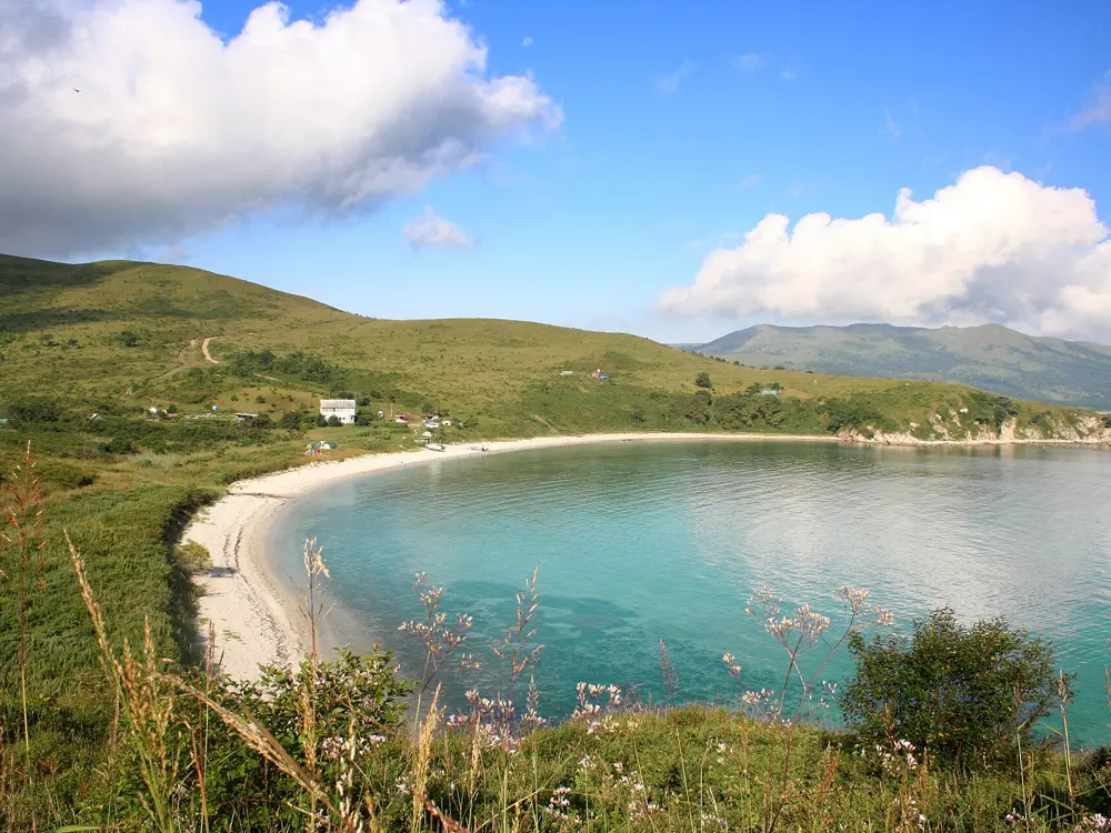
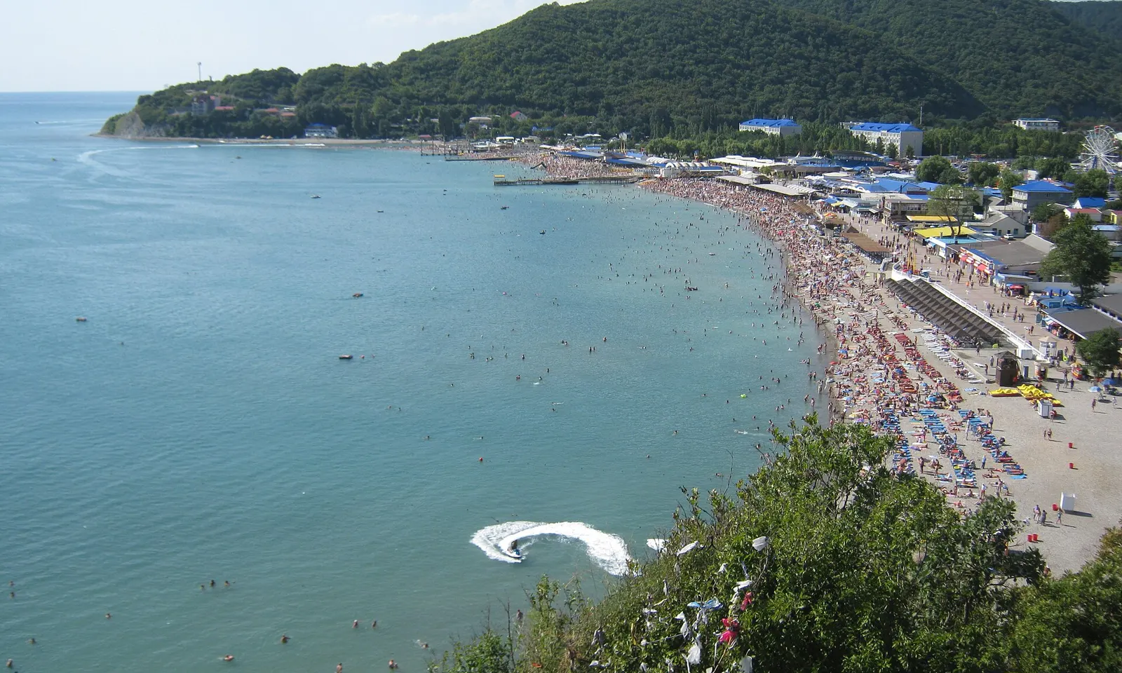
The curving beach and turquoise sea at Arkhipo-Osipovka on the Gelendzhik coast

Photos: apl72 (CC BY-SA 3.0), Alexxx1979 (CC BY-SA 4.0), Alexxx1979 (CC BY-SA 3.0), Александр Байдуков (CC BY-SA 4.0)

Distance
About 1.2 km of central beach along the embankment
Bay
Horseshoe shaped, up to 11 m deep
Water
About 24 to 26 C in August
Season
June to September

Why go

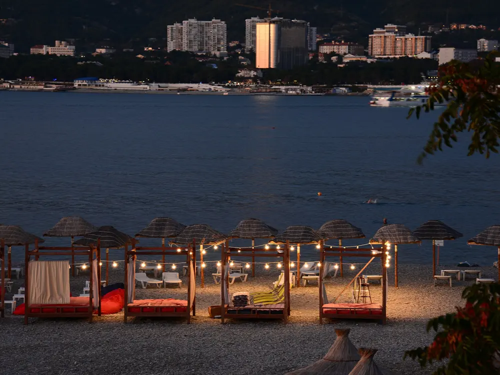
Gelendzhik sits on a round, almost closed bay on the Black Sea coast, 31 km south east of Novorossiysk. The horseshoe shape keeps out most of the waves, so the water inside is calm and warm, and the town is one of the drier spots on this coast. It is a classic Russian family resort: a long embankment, a central beach right in town, and a string of coves and villages along the coast on either side. In 2026 the administration planned 73 official beaches across the resort.

The route

The central beach runs about 1.2 km along the embankment, fine and medium pebble with a gentle way into the water, and the sheltered bay is good for long, easy swims parallel to the shore. For clearer water, go to the capes at the mouth of the bay: Tolsty Mys has pebble beaches where the water gets deep quickly and is cleaner than in the inner bay, and Tonky Mys has small wild coves reached on foot down steep paths. Further out, Kabardinka has a wide beach about 4 km long, Divnomorskoye a long pebble strip with clear water, and Dzhankhot rocks and very clear sea about 20 km from town.

When to go

The beaches are open from June to the end of September. Guides put the sea at about 20 to 22 C in June, 23 to 25 C in July, 24 to 26 C in August and 22 to 24 C in September. In July and August the inner bay is very busy and less clear, because it is shallow and full of swimmers.

Getting there

Gelendzhik airport was closed from 2022 and reopened to civil flights in July 2025. It takes scheduled flights only between 08:30 and 20:00 Moscow time, and in 2026 the aviation authority closed it for short spells several times, three times on 3 October alone. The road in comes along the coast from Novorossiysk.

Permits and booking

The central and municipal beaches are free; private and hotel beaches charge between 300 and 1,500 roubles in season, and sunbeds cost extra. Rospotrebnadzor checks the water along the whole coast from Arkhipo-Osipovka to Kabardinka. The UK advises against all travel to Russia and warns that drone attacks can close airports at short notice, and the e-visa is open to citizens of 64 countries, a list that leaves out the UK, the US, Canada and Australia.

How hard it is

Easy inside the bay, moderate off the capes, where the bottom drops away and there is more swell. After two tankers were damaged in a winter storm in the Kerch Strait, fuel oil washed up on the beaches of Anapa further up the coast; by mid June 2026 tests of seawater and sand at Gelendzhik met the standards and no mass contamination had been confirmed. Check the beach after storms, and stay out if you see an oily film or black spots.

Where to sleep

Hotels and guesthouses fill the town and the embankment. Kabardinka, Divnomorskoye and Arkhipo-Osipovka have their own holiday villages and are quieter.

Tips

  • For the clearest water, swim off Tolsty Mys or go out to Dzhankhot rather than staying in the inner bay.
  • Choose an official beach with a lifeguard post; the wild coves at Tonky Mys have none.
03 / 10

Maloye More and Olkhon

Lake Baikal, Irkutsk Oblast

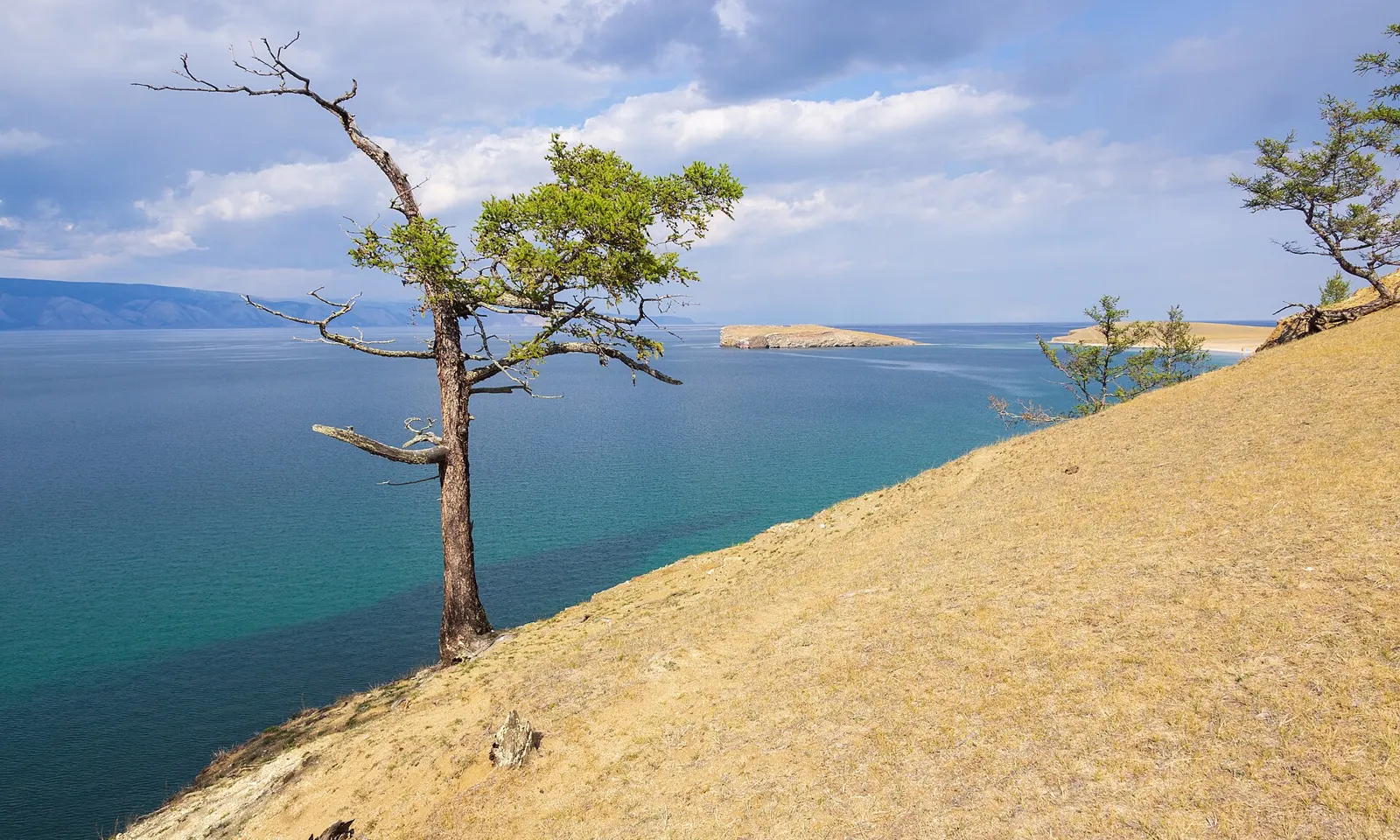
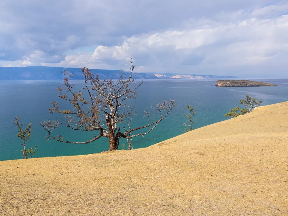
Turquoise water and a lone larch on the sandy slope of Cape Kharantsy on Olkhon

Photos: Vyacheslav Argenberg (CC BY 4.0), Vyacheslav Argenberg (CC BY 4.0), Vyacheslav Argenberg (CC BY 4.0), Vyacheslav Argenberg (CC BY 4.0)

Distance
About 300 km and 6 hours from Irkutsk to Olkhon
Sarayskiy beach
About 3 km of fine sand
Water
Shallow bays can pass 20 C in a hot August
Season
July and August

Why go

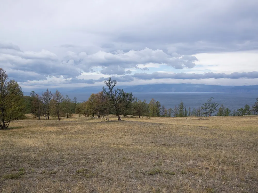
Most of Baikal stays too cold for a proper swim even in August. The exception is Maloye More, the Small Sea, the strait between the island of Olkhon and the western shore, where sandy bays and shallow inlets warm up in July and August. Olkhon itself, about 72 km long and 21 km wide, is the largest island in the lake, a mix of taiga, steppe and a small desert, with the village of Khuzhir and the Shaman Rock on its west coast. Swimming here means clear, fresh, very clean water with the mountains of the far shore on the horizon.

The route

The warmest swims are on the mainland side, in Mukhor Bay, a shallow bay in the south west of the Small Sea with an average depth of about 4 to 5 m: Mandarkhan, about 7 km from the ferry at Sakhyurta, has sand and a gentle way in, and Zuun-Khagun a long sandy shore. The Kurkut bays near the ferry are shallow and sheltered. On Olkhon, Sarayskiy beach runs for about 3 km of fine sand from Cape Burkhan, by the Shaman Rock, towards Kharantsy; the water there is colder than in Mukhor, so it suits a short swim more than a long one. Near the Olkhon Gates strait, keep to the sheltered inner part of the bays, because wind and current can be strong.

When to go

Come in late July or August. Shallow bays can warm above 20 C in a long hot spell, and Mukhor may reach about 22 C in the second half of August, while open Baikal stays cold even then. Wind mixes the warm surface water with cold water from below and can chill the shore within hours.

Getting there

From Irkutsk the trip to Olkhon is about 300 km and about six hours, with about five hours on the road to the ferry at Sakhyurta. Buses from the city bus station and minibuses from the Central Market take five to six hours and board the ferry ahead of the car queue. The crossing takes about 30 minutes; it opens in May, depending on the ice, and the road from the ferry to Khuzhir is rough, so an SUV is recommended.

Permits and booking

The ferry carries cars and passengers free of charge. The area is part of Pribaikalsky National Park, and some routes and natural areas need a permit, which you can arrange on the Zapovednoye Pribaikalye website. The UK advises against all travel to Russia and warns that drone attacks can close airports at short notice, and the e-visa is open to citizens of 64 countries, a list that leaves out the UK, the US, Canada and Australia.

How hard it is

Cold water swimming for most people, except in the shallow bays in a warm spell. Almost all of these are natural beaches, not official swimming areas: a guesthouse or a cafe on the shore does not mean a lifeguard or a water certificate, and in summer 2026 no equipped swimming area in Irkutsk Oblast had passed the checks. Read the signs and go in gradually.

Where to sleep

Khuzhir, the island's main village with about 1,200 people, has homestays, guesthouses and shops. Around Mukhor Bay, accommodation fills up in July and August, so book early.

Tips

  • Bring a windproof jacket even on a hot day: the wind can turn the water cold within hours.
  • In summer the ferry queue for cars can be long; the bus is the quicker way across.
04 / 10

Lake Turgoyak

Miass, Chelyabinsk Oblast

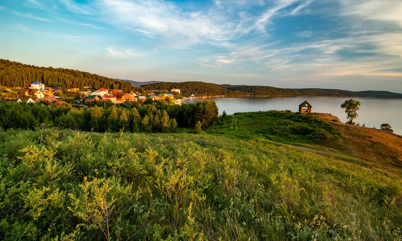
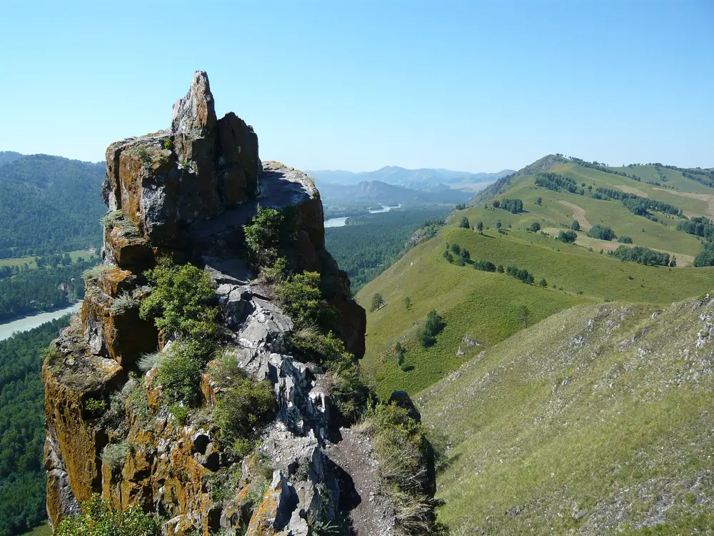
Green meadow above Lake Turgoyak with the village and the lake behind

Photos: Seregaegorov (CC BY-SA 4.0), Zkot at Russian Wikipedia (Public domain), Pavel Marianov from London, United Kingdom (CC BY 2.0), Pavel Marianov from London, United Kingdom (CC BY 2.0)

Distance
About 27 km of shoreline
Clarity
10 to 17.5 m
Depth
Up to 34 m
Season
July and the first half of August

Why go

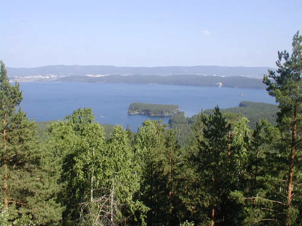
Turgoyak, in the Southern Urals near the city of Miass, is famous for its clarity: in good weather you can see the bottom 10 to 17.5 m down, and its water is often compared with Baikal's. It is a deep mountain lake of about 26 square km, up to 34 m deep, ringed by low forested ridges, with an island of ancient stone monuments in the middle. It is a regional natural monument, motor boats are restricted, and it is one of the most popular swimming lakes in the Urals.

The route

The equipped beaches, some of them sandy, are on the western and southern shores, with changing cabins, showers, toilets and loungers. Zolotoy (Golden) beach is a wide sandy strip with boats, yachts and catamarans for hire, and the city beach in Turgoyak village is the departure point for boats to Vera Island. Clear water and a gentle bottom make for long swims along the shore. Vera Island has dolmens and megaliths thought to be about 6,000 years old; an electric boat goes there from May to October, about 30 minutes each way, with about an hour ashore.

When to go

July and the first half of August. The lake is cold and warms slowly; summer water is about 20 to 24 C at the warmest, and in autumn it falls to about 8 to 15 C. Late spring and early autumn are quieter and better for walking than for swimming. In winter the lake freezes.

Getting there

Chelyabinsk airport is about 130 km from the lake, with no direct public transport, so take a taxi or hire a car. From Chelyabinsk the drive on the M-5 takes about 1.5 to 2 hours, and from Yekaterinburg about 3.5. Bus 291 runs from Miass railway station to Turgoyak village, about 15 km and 25 minutes by car; from the stop it is about 700 m to the city beach.

Permits and booking

Some shore areas charge 100 to 500 roubles a car, and some beaches belong to holiday bases and are for guests only. The return boat to Vera Island cost 2,500 roubles in 2026. Rules differ by zone, so check where you are. The UK advises against all travel to Russia and warns that drone attacks can close airports at short notice, and the e-visa is open to citizens of 64 countries, a list that leaves out the UK, the US, Canada and Australia.

How hard it is

Easy to moderate. The equipped beaches have a gentle way in, but the lake warms slowly and stays cool, so short swims are the rule outside July.

Where to sleep

Turgoyak village and the shore have holiday bases, hotels and guesthouses, from about 800 roubles for a campsite to 15,000 roubles for a premium hotel. Zolotoy Plyazh has rooms, chalets and guesthouses; Miass is a good base for the rest of the Southern Urals.

Tips

  • Swim from the western and southern shores, where the equipped beaches are.
  • Go in July for the warmest water; by late August the lake is cooling.
05 / 10

Lake Aya

Altaysky District, Altai Krai

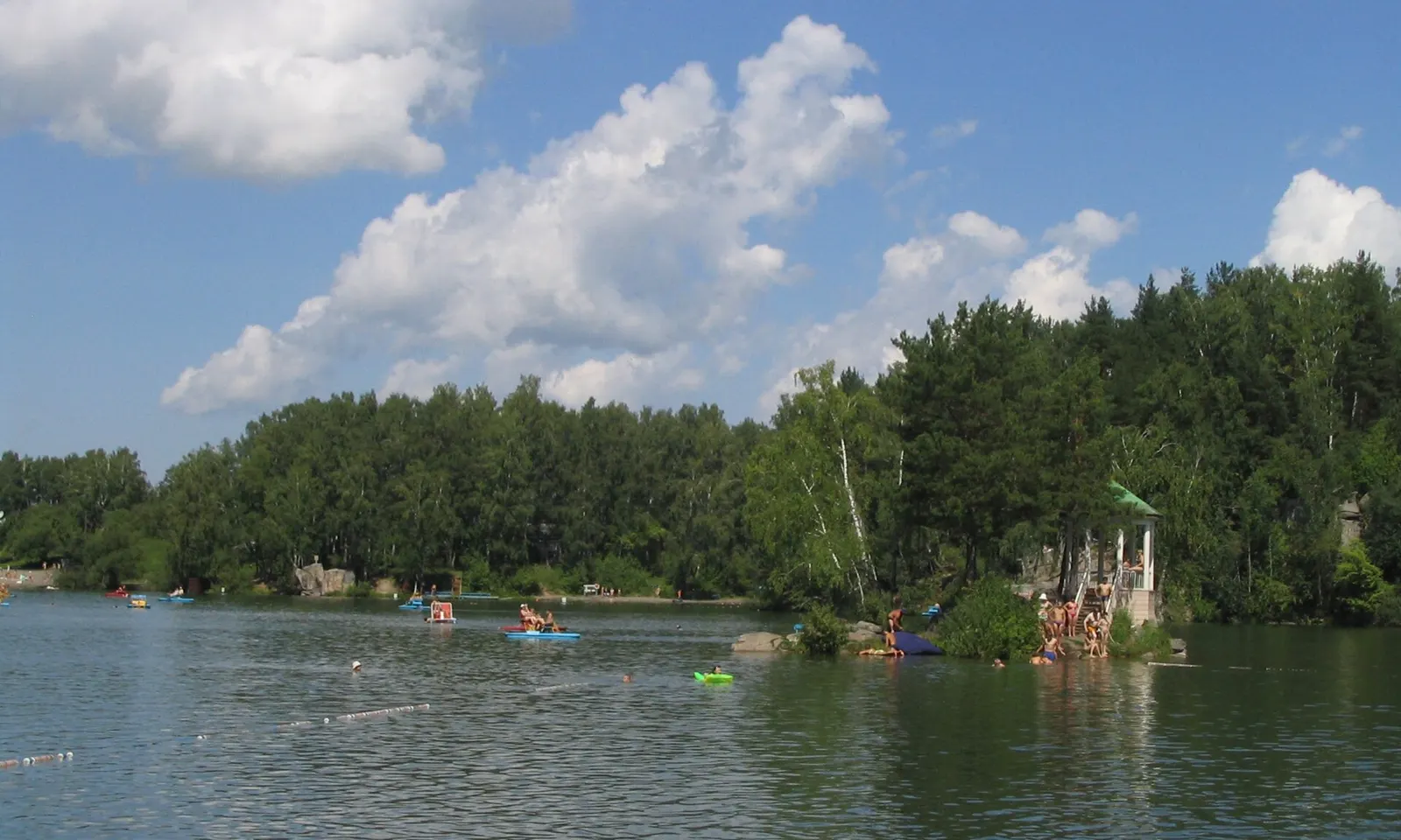
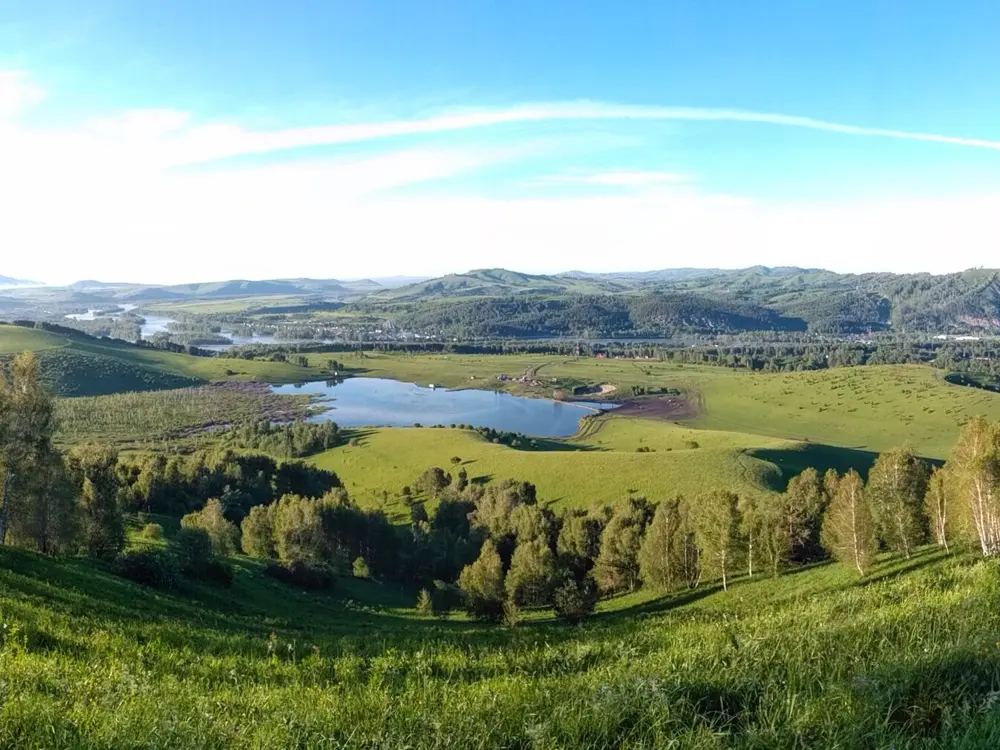
Swimmers and pedal boats on Lake Aya with the forested shore and the gazebo island behind

Photos: Afonin (CC BY-SA 3.0), Демин Алексей Барнаул (CC BY-SA 4.0), Yana plshk (CC BY-SA 4.0), SilvioMartin (CC BY-SA 4.0)

Distance
About 1.4 km around the shore
Size
About 400 by 190 m, 9 ha
Depth
Up to 21.7 m
Water
20 C or more in summer

Why go

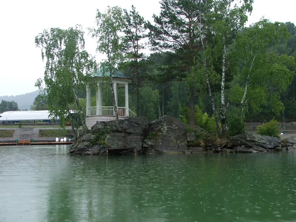
Aya is a small lake of about 9 ha in a mountain hollow on the left bank of the Katun River, fed by springs and rain, small enough to warm to 20 C or more in summer. That makes it one of the few places in the Altai foothills where swimming is comfortable, and a popular holiday spot. A small granite islet with a gazebo sits in the lake, and holiday bases, cafes and pools crowd the shore.

The route

The swim is a lap of the lake: about 1.4 km of shoreline around a basin about 400 m long and 190 m wide, with the gazebo island near the middle. The beach has water bicycles and boats for hire. The lake and the hills around it make up the Aya Nature Park, with walking and riding trails, paragliding and fishing. Rafting trips on the Katun start nearby from May to September.

When to go

The lake is warmest from July to early September. Mid June to July is the peak, when campsites are hard to find and evenings by the shore can be loud. For fewer people, come on weekdays or in late August and early September.

Getting there

Aya is about 10 km south of the village of Mayma. By road, take the M-52 to Biysk, then 81 km on to Mayma and on to Souzga, where a sign for Ozero Aya points across the bridge. Buses from Novosibirsk, Barnaul and Biysk towards Chemal stop at the Aya bridge (Aysky Most), about 2 km on foot from the lake. Cars cannot reach much of the shore, which is behind barriers and built up.

Permits and booking

Some holiday bases have charged for access to the water in the past, and the local administration's position is that bases must let everyone through to the lake; ask at your base. The heated pool complex beside the lake, Altai Riviera, charged adults 1,500 roubles a day in 2026. The UK advises against all travel to Russia and warns that drone attacks can close airports at short notice, and the e-visa is open to citizens of 64 countries, a list that leaves out the UK, the US, Canada and Australia.

How hard it is

Easy. The lake is small, sheltered and warm by mountain standards, though it is deep in the middle. It is crowded in high summer.

Where to sleep

Holiday bases, hotels and campsites surround the lake and fill the village of Aya. In 2026 a tent pitch cost about 500 to 3,000 roubles a night, a simple room or cabin 1,500 to 4,000, and a standard room 4,000 to 7,000.

Tips

  • Ask your base whether access to the beach is included before you book.
  • Come on a weekday: summer weekends are the busiest time.
06 / 10

Zelenogradsk and Svetlogorsk

Kaliningrad Oblast, Baltic Sea

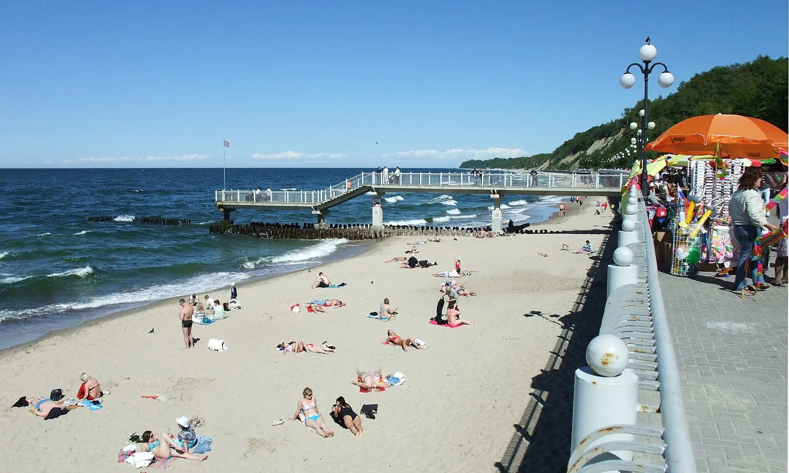
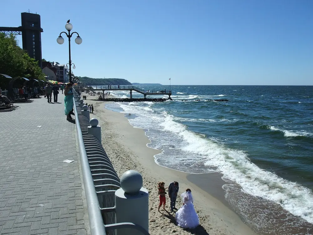
Sunbathers on the sand below the promenade and pier at Svetlogorsk on the Baltic

Photos: Nikater (CC BY-SA 3.0), Nikater (CC BY-SA 3.0), Rimantas Lazdynas (CC BY-SA 3.0), Anton Yefimov (CC BY 3.0)

Distance
About 2 km of sand at Zelenogradsk
Beach
Up to 200 m wide
Water
About 18 to 21 C in August
Season
1 June to 31 August (Zelenogradsk, 2026)

Why go

Russia's Baltic coast is in Kaliningrad, the exclave between Poland and Lithuania. Zelenogradsk, once Cranz, was the royal bathing resort of Prussia from 1816, and the railway from Königsberg arrived in 1885. Today it has the best beach on this coast, about 2 km of fine golden sand up to 200 m wide, near the Curonian Spit. Svetlogorsk, about 40 km from Kaliningrad, has a promenade under steep wooded cliffs, with a lift and a cable car down to the sea.

The route

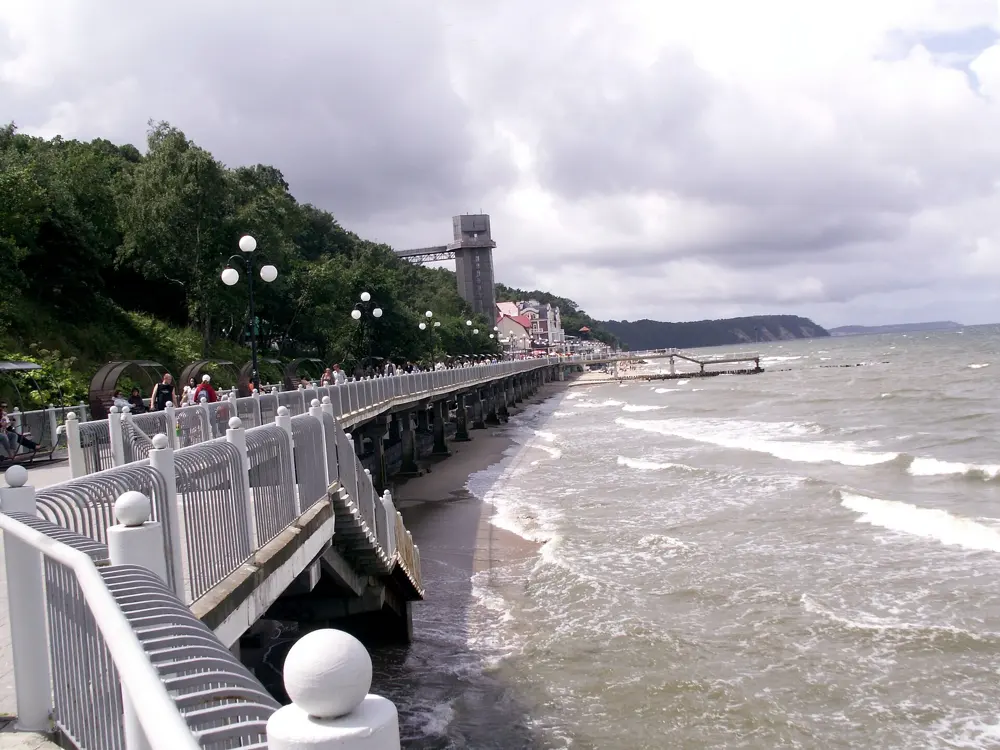
At Zelenogradsk the central beach is by the promenade, the pier and the station; the Western beach continues along Gagarina Street, wider and quieter, with dunes behind it; and the eastern beaches, Sambia and Skovorodka, are narrower. The Baltic here is a sea for swims along the shore inside the marked zones. In Svetlogorsk the beaches are narrower and broken by breakwaters and groynes; in 2026 the town equipped the Donskoye, Primorye and Otradnoye beaches and a stretch near Moskovskaya and Baltiyskaya streets with lifeguard posts, showers and changing cabins.

When to go

July and August. The sea is about 14 to 17 C in June, 17 to 20 C in July and 18 to 21 C in August, then cools to about 16 to 19 C in September. Even in high summer a swim depends on the wind and the waves on the day. The most comfortable stretch is usually the second half of July and early August.

Getting there

Fly to Kaliningrad. Trains leave from both of the city's stations, Yuzhny and Severny: fast Lastochka trains reach Svetlogorsk in about 35 minutes, and other trains take about an hour, while the trip to Zelenogradsk takes about 40 minutes. Buses 118 and 125 run to Svetlogorsk every 20 to 30 minutes from the bus station.

Permits and booking

The town beaches are free. Russians crossing Lithuania by train need a Lithuanian transit document; foreign visitors need a Russian visa or e-visa. The UK advises against all travel to Russia and warns that drone attacks can close airports at short notice, and the e-visa is open to citizens of 64 countries, a list that leaves out the UK, the US, Canada and Australia.

How hard it is

Easy to moderate. The water is cool and the sea is often choppy; swim only in the marked zones by the lifeguard posts. In Zelenogradsk, posts are on the Central, Western, Gagarina, Neptune and Malinovka beaches, and Skovorodka is safe only within its marked, watched zone.

Where to sleep

Both towns have hotels and guesthouses close to the sea; Zelenogradsk is the better base for the beach, Svetlogorsk for the promenade and the cliffs.

Tips

  • Swim at Zelenogradsk: the beach is far wider than Svetlogorsk's.
  • Go in the second half of July or early August, when the sea is usually at its warmest.
07 / 10

Serebryany Bor

Moscow

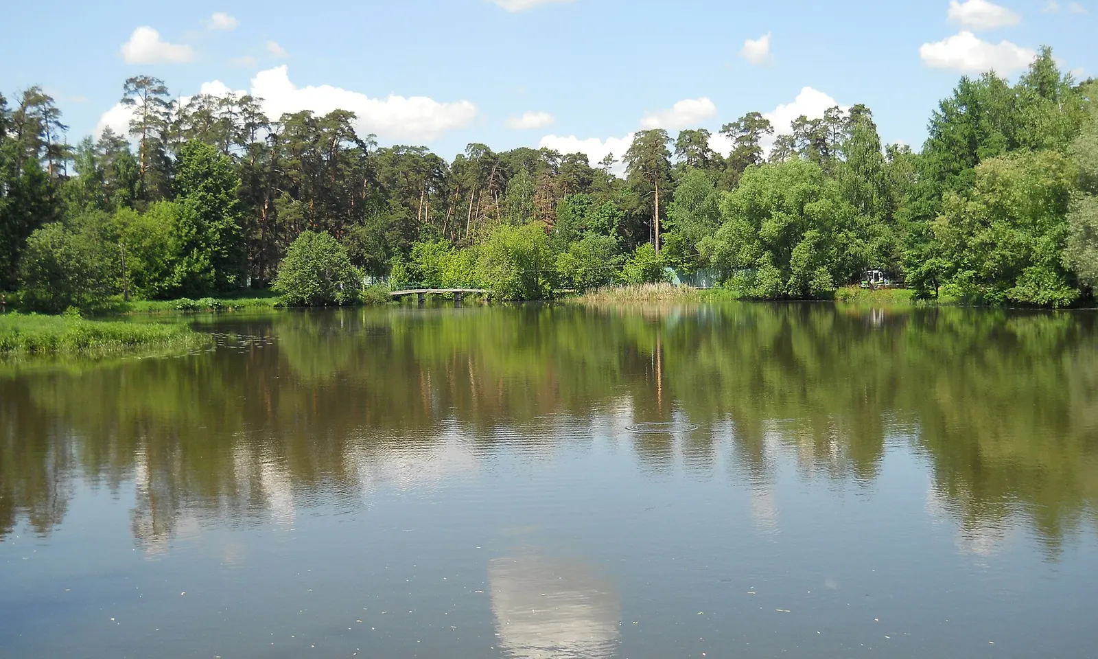
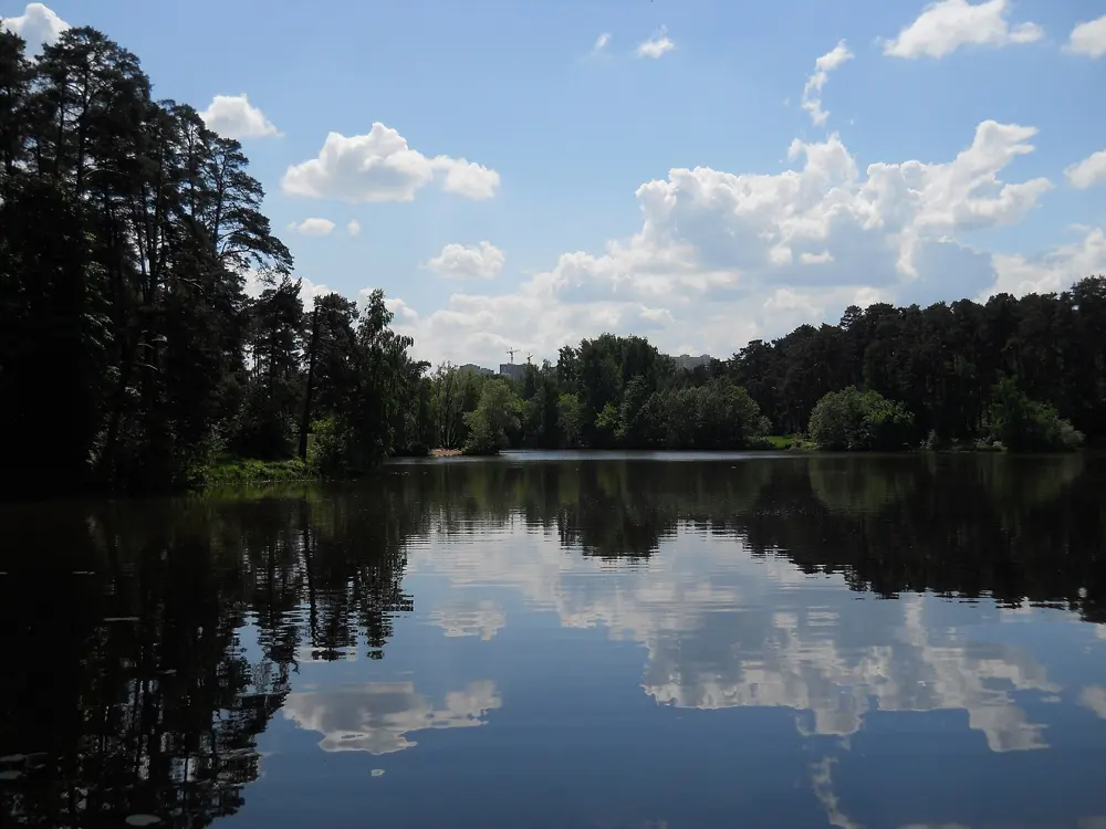
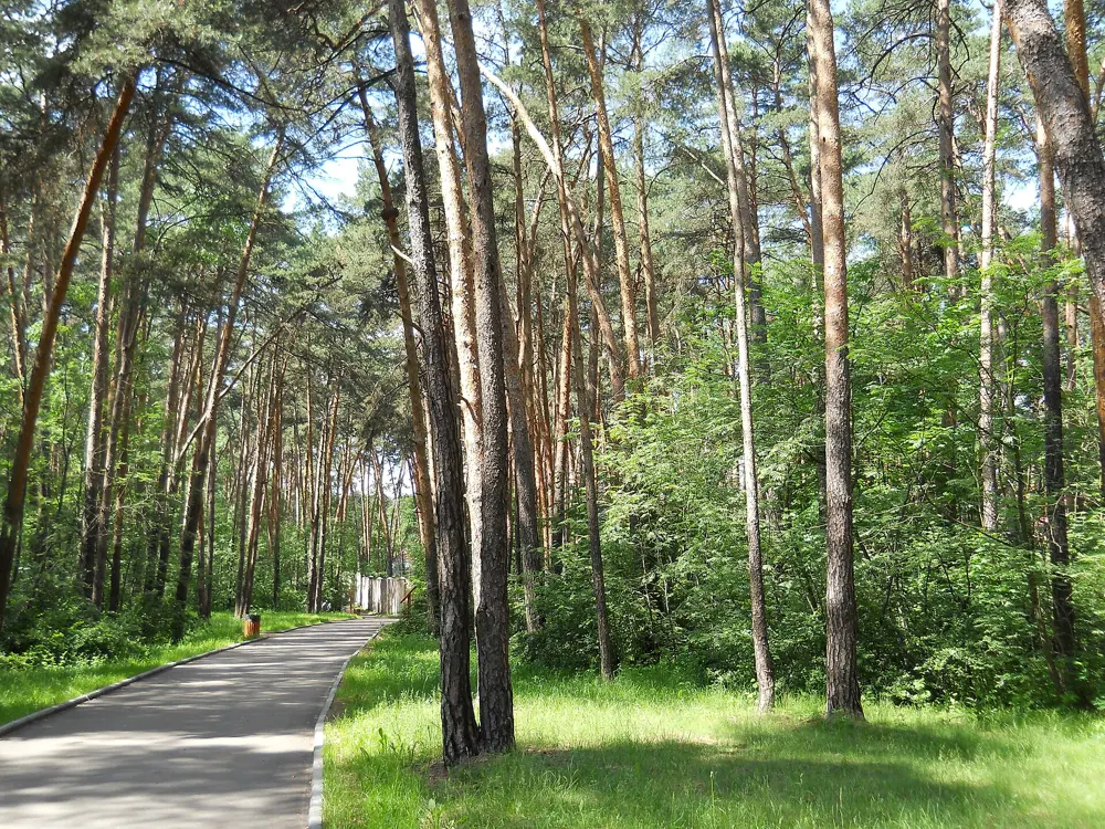
Pines reflected in a still lake inside Serebryany Bor in Moscow

Photos: Shuvaev (CC BY-SA 3.0), Shuvaev (CC BY-SA 3.0), Shuvaev (CC BY-SA 3.0), Shuvaev (CC BY-SA 3.0)

Distance
About 2 km between beaches No. 2 and No. 3
Park
328.6 ha of pine forest on an island in the Moskva
Lifeguards
On duty at both swimming beaches
Season
Summer; the list of open beaches can change

Why go

Serebryany Bor, the Silver Pine Forest, is where Moscow goes to swim. It is a forest of pines on an island in a bend of the Moskva River, cut off from the city when the Khoroshyovo canal was dug in 1937, and since 1991 a protected natural monument. The park covers 328.6 ha, including Lake Bezdonnoye, the Bottomless Lake, of about 16 to 17 ha, and in summer its river beaches fill with city swimmers. In 2026 two of them, No. 2 and No. 3, were among the seven places in the whole city where Rospotrebnadzor allowed swimming.

The route

Beach No. 2, rebuilt in 2024, has big canopies, loungers, a cafe and a heated outdoor pool; beach No. 3, about 2 km away, is roomier and shadier, with sports gear for hire, swings and play areas. From either one you can swim in the river inside the marked zone. Between swims, the paths through the pines and around Lake Bezdonnoye make a good walk. The other beaches in the park, including the unofficial No. 4, are not approved for swimming.

When to go

June to August. Rospotrebnadzor checks the water every 10 to 14 days, and the list of beaches where swimming is allowed can change during the summer, so look at the current list before you go.

Getting there

Private cars are not allowed into the park, though booking a table at a cafe gets you a driving permit. Walk, cycle or take public transport: the nearest metro stations include Polezhayevskaya, Shchukinskaya and Oktyabrskoye Pole. Beach No. 2 is at Tamanskaya Street 46, beach No. 3 on the 4th line of Khoroshevsky Serebryany Bor.

Permits and booking

Both beaches are free and the park is open around the clock; the pool runs sessions from 9:00 to 21:00. Swimming anywhere else in the park is not officially allowed. The UK advises against all travel to Russia and warns that drone attacks can close airports at short notice, and the e-visa is open to citizens of 64 countries, a list that leaves out the UK, the US, Canada and Australia.

How hard it is

Easy. The swimming zones are marked, and both beaches have lifeguards on duty and a medical post.

Where to sleep

Stay anywhere in Moscow on the metro; the park is in the north west of the city, an easy trip from the centre.

Tips

  • Swim only at beaches No. 2 and No. 3, the approved ones.
  • Leave the car at home: entry by private car is banned.
08 / 10

Lake Seliger

Ostashkov, Tver Oblast

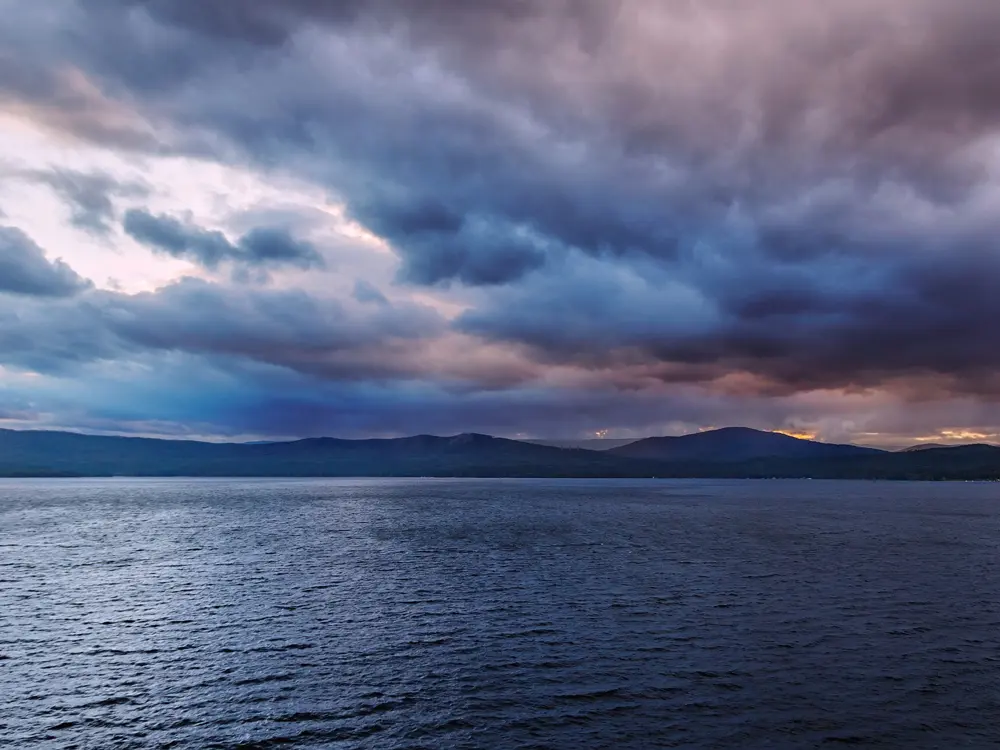
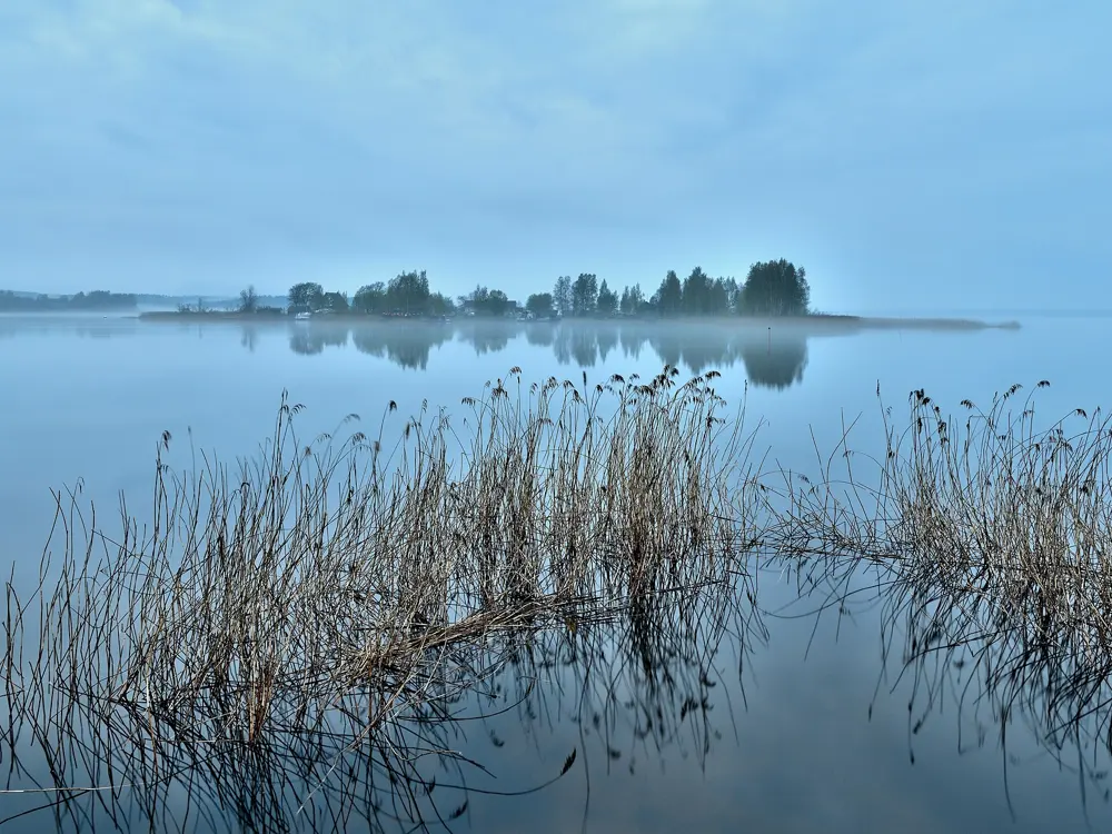
Calm blue water, small boats and a wooded shore on Lake Seliger in August

Photos: Orinoko1973 (Public domain), Orinoko1973 (Public domain), Alexxx1979 (CC BY-SA 4.0), Александр Байдуков (CC BY-SA 4.0)

Distance
About 370 km from Moscow
Islands
160
Water
About 20 to 22 C in summer, 25 C in the shallows
Season
Second half of June to mid August

Why go

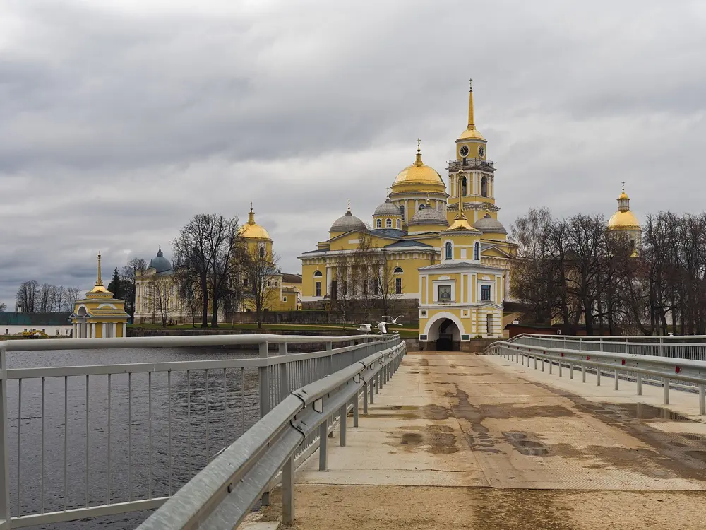
Seliger, in the Valdai Hills between Moscow and St Petersburg, is not one lake but a chain of lakes and channels covering 212 square km, with 160 islands and mostly sandy beaches. It is the classic summer lake of central Russia, for swimming, boating and camping, and its northern end lies inside Valdaysky National Park. Ostashkov is the only town on its shores, and the Nilov Monastery stands on Stolobny Island about 30 km away.

The route

The easy swim is from Ostashkov's central beach on the Zhitnoye peninsula, about 20 minutes' walk from the centre, with a gentle way in, changing cabins and catamarans for hire. For quieter water, cross the footbridge to Klichen island, where there is no single beach but many small sandy coves in the pines; or take a boat to Khachin, the largest island, with wild beaches, gentle entries and inner lakes that are often warmer than the main lake. The Mayskaya Kosa, a long sandy spit on Gorodomlya island with very clear water, is reached only by water with a pass or a booked excursion.

When to go

The swimming season starts in the second half of June. In summer the water warms to about 20 to 22 C, and to about 25 C in the shallows in July. From the second half of August it cools, though some years you can still swim in September.

Getting there

Ostashkov is about 370 km from Moscow, about 5 hours by car on the M-9 through Rzhev and Torzhok, and about 470 km from St Petersburg. Direct buses leave Moscow's Tushinskaya bus station twice a day, at 7:45 and 16:30, and take about 7 hours; by train, change at Bologoye or Tver, about 8 hours in all.

Permits and booking

You can pitch a tent almost anywhere except in nature reserves, sanctuaries and private land; fires only in fire pits, and none at all in a fire danger period. Take all your rubbish home. Mayskaya Kosa needs a pass or a booked trip, and no tents or overnight stays are allowed there. The UK advises against all travel to Russia and warns that drone attacks can close airports at short notice, and the e-visa is open to citizens of 64 countries, a list that leaves out the UK, the US, Canada and Australia.

How hard it is

Easy. The lake is shallow, with an average depth of 5.8 m, and the beaches mostly shelve gently. Wild beaches on the islands have no facilities or lifeguards.

Where to sleep

Ostashkov has hotels and guesthouses, holiday bases line the shores, and many visitors camp on the islands.

Tips

  • Swim at Khachin's inner lakes for the warmest water.
  • Bring everything you need to the islands: the wild beaches have no shops.
09 / 10

Valdai Lake

Valday, Novgorod Oblast

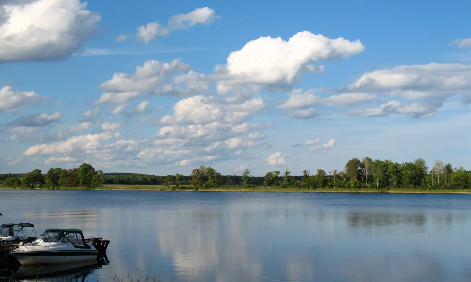
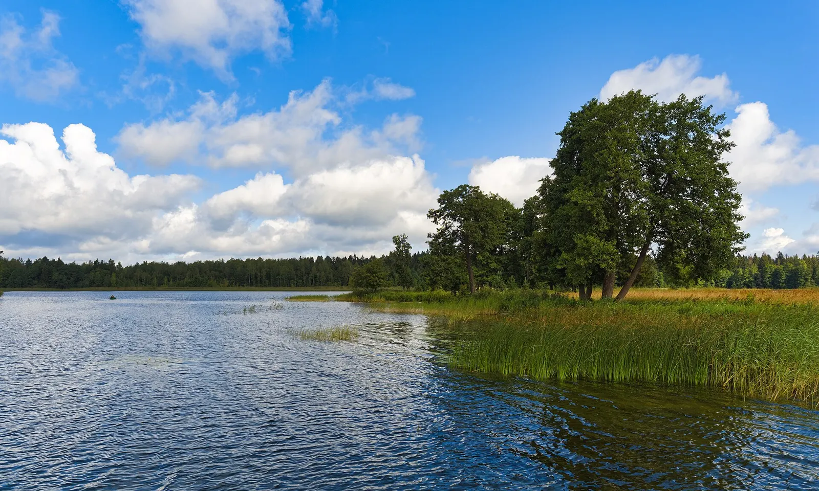
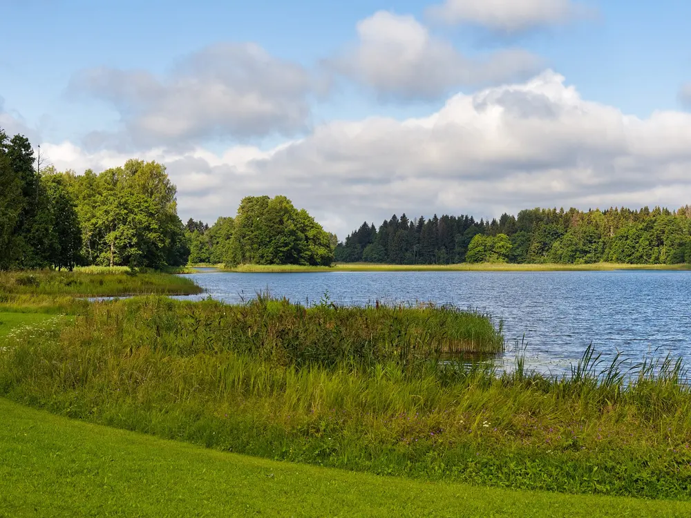
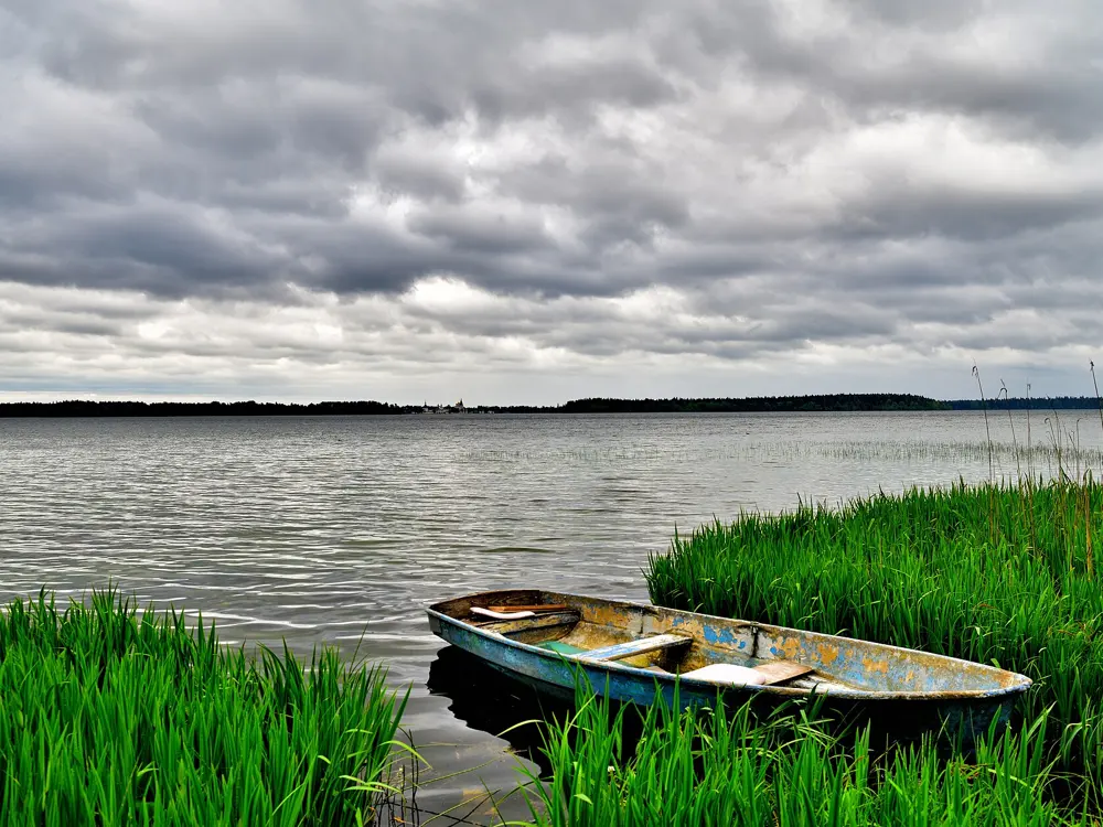
Blue water, reeds and a wooded island on Valdai Lake under summer clouds

Photos: Alexxx1979 (CC BY-SA 4.0), Alexxx1979 (CC BY-SA 4.0), Александр Байдуков (CC BY-SA 4.0), Дар Ветер (CC BY-SA 3.0)

Distance
About 400 km from Moscow, 330 km from St Petersburg
Size
19.7 square km
Depth
Up to 60 m
Water
About 18 to 21 C at the surface in midsummer

Why go

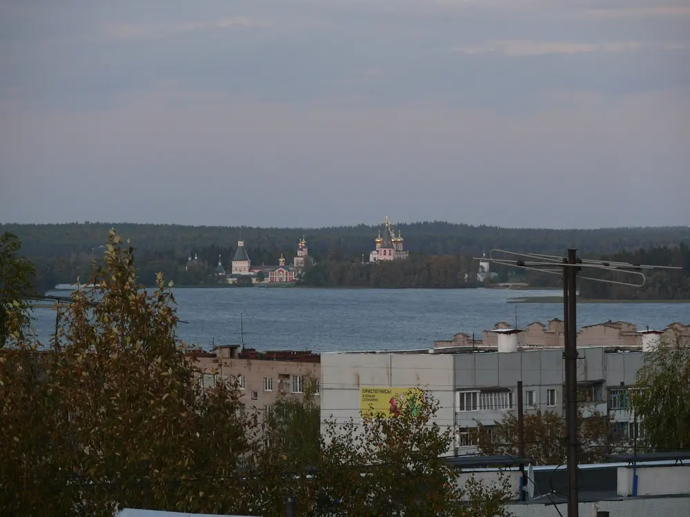
Valdai Lake lies in the middle of Valdaysky National Park, in the hills halfway between Moscow and St Petersburg. It is a deep lake of 19.7 square km, up to 60 m deep, with clean water, sandy beaches and islands, and on Selvitsky Island the Iversky Monastery, founded by Patriarch Nikon in 1653, looks across the water to the little town of Valday.

The route

Swim from the beaches by the town and the holiday bases around the shore, many of which have their own sandy beach and rent out boats, SUP boards and catamarans. On the town embankment, the Polyana Skazok park has a pier and a lakeside path. Shallow bays and gently sloping sandy shores warm up first, while the deep middle of the lake stays cold. The Iversky Monastery is about 10 km from town by road, over Ryabinovy Island and two bridges.

When to go

The best swimming is from mid July to mid August, when the surface water is about 18 to 21 C; deeper down it is much colder. In a warm year you can start in late June, but after a cold spring the lake may stay chilly until July, and September swimming depends on the year. The wind on the big lakes picks up quickly and can cool the shore.

Getting there

Valday is on the M-10 highway: about 400 km and 4 to 5 hours by car from Moscow, about 330 to 340 km and 3.5 to 5 hours from St Petersburg. A daily Lastochka train from St Petersburg's Moskovsky station takes about 4 hours 23 minutes, a train from Moscow's Leningradsky station about 6 hours, and a bus from St Petersburg about 5 hours.

Permits and booking

Swimming in the lake in summer is allowed. Valdaysky National Park, set up in 1990, covers more than 158,000 ha; you can camp only at its designated tent sites. The UK advises against all travel to Russia and warns that drone attacks can close airports at short notice, and the e-visa is open to citizens of 64 countries, a list that leaves out the UK, the US, Canada and Australia.

How hard it is

Easy to moderate. The water is clean but never very warm. On wild shores watch for snags, sudden drops, silt and thick weed; an equipped beach with a gentle slope is better for children.

Where to sleep

Valday has hotels, guesthouses and a hostel, and holiday bases stand along the lake and the road towards Demyansk. Houses right on the water are few and go first.

Tips

  • Pick an equipped beach: wild shores can have snags and sudden drops.
  • Go on a calm day, as the wind can cool the shallows within hours.
10 / 10

Vityaz Bay

Gamov Peninsula, Primorsky Krai

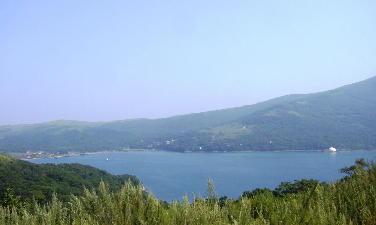
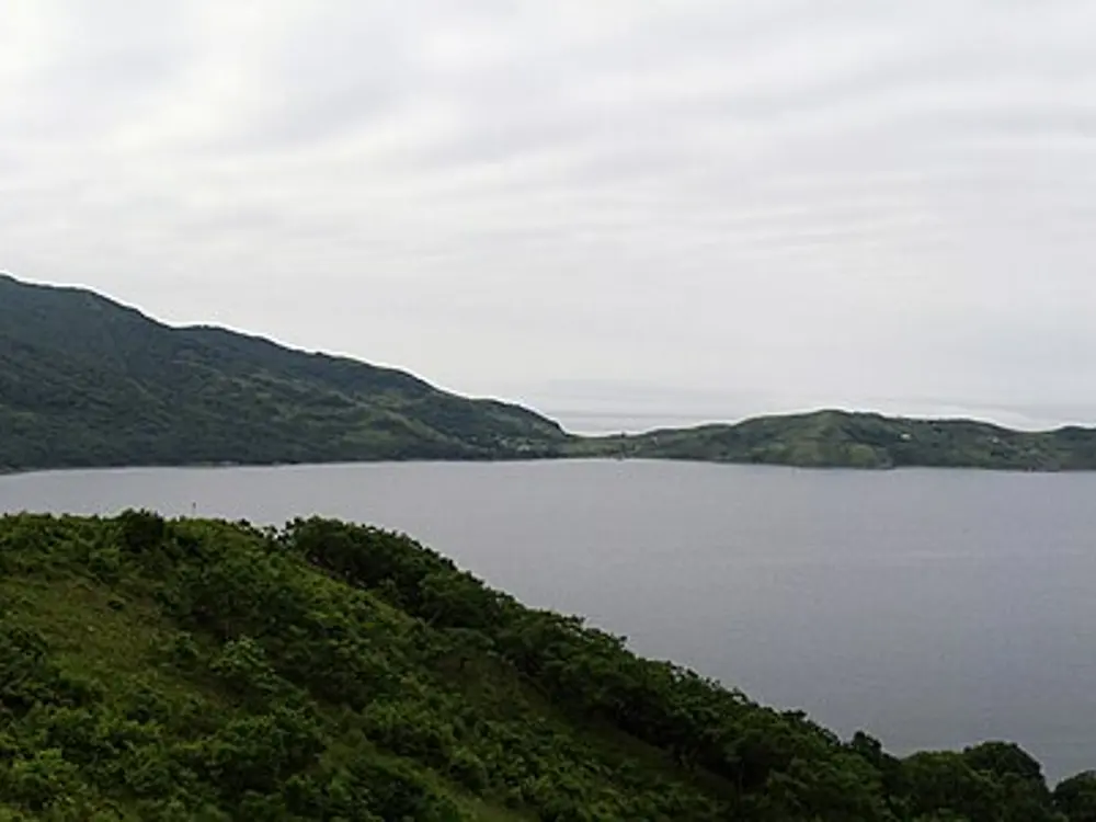
Vityaz Bay and the green hills of the Gamov Peninsula seen from above

Photos: Евгения (CC BY-SA 3.0), RUSLEGIONER.LIVE (CC BY-SA 4.0), all_xt (CC BY-SA 3.0), Russian.dissident (Public domain)

Distance
About 266 km from Vladivostok
Bay
About 2.9 km long, 1.5 km across the mouth
Depth
Up to about 36 to 39 m
Season
Summer

Why go

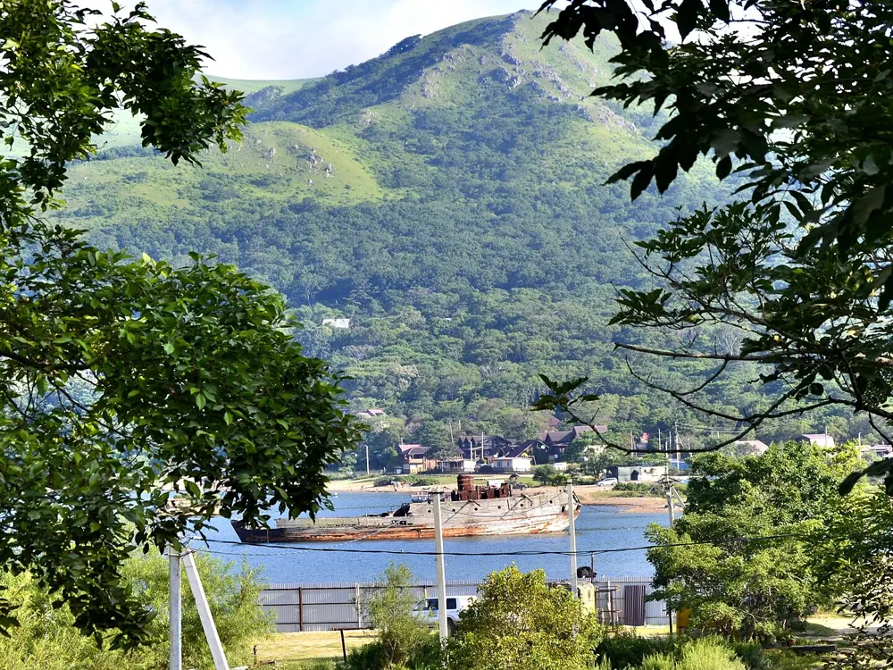
Vityaz Bay, on the Gamov Peninsula in the far south of Primorye near the borders with China and North Korea, is one of the best-known bays in Primorye. It opens to the west off Posyet Bay in the Sea of Japan, with clear water, a sandy bottom and sandy and pebble beaches between high wooded hills. The bay was named after the corvette Vityaz, whose crew surveyed it in 1888, and in the 1980s it hid a secret military centre that trained beluga whales and seals; today the village of Vityaz is a quiet place of several dozen holiday bases.

The route

The swims are from the beaches of the village at the head of the bay, out over a sandy bottom that deepens gradually towards the mouth. Divers come for the clear water and the wrecks of the Vityaz and the wooden schooner Lakhtak, and on the Gamov Peninsula sheer cliffs drop about 30 m under the sea. Boat trips go round the peninsula to coves such as Spaseniya Bay in the Far Eastern Marine Reserve, whose eastern waters, with a 500 m coastal buffer, are protected.

When to go

Summer is the best time to come. The bay can be visited all year, but swimming, beach days and water sports belong to the summer, when the weather is warm and there are many sunny days.

Getting there

Vityaz is about 266 km from Vladivostok. By car, take the Razdolnoye to Khasan highway towards Slavyanka; the road is asphalt almost to Andreyevka, and the last stretch to Vityaz needs good ground clearance. Without a car, take bus 526 from Vladivostok to Slavyanka, about 4.5 hours, then a bus to Andreyevka and a taxi on; or the Lotos boat from pier 36 in Vladivostok to Slavyanka, then a taxi.

Permits and booking

The Far Eastern Marine Reserve's eastern sector can only be visited with permission and on organised trips, accompanied by its inspectors; it was once treated as a border zone. Khasansky District lies on the border, and areas within the border zone need an FSB pass, so ask your holiday base or tour operator what applies to your route. The UK advises against all travel to Russia and warns that drone attacks can close airports at short notice, and the e-visa is open to citizens of 64 countries, a list that leaves out the UK, the US, Canada and Australia.

How hard it is

Easy in calm weather, over a sandy bottom that deepens gradually. Dive only with a local operator, and check the reserve's rules first.

Where to sleep

Vityaz has several dozen holiday bases, summer houses and space for tents, and makes a comfortable base for the whole peninsula.

Tips

  • Hire a car with good ground clearance or use a transfer: the road from Andreyevka is rough.
  • Ask your base before you go whether your route crosses the border zone.

Sources

Distances, heights, seasons and permit rules were checked against these pages. Rules change, so check the park or trail authority before you go.