Rungs Labs

Rungs Pilgrimage · Swimming · Australia and New Zealand

The 10 Best Places to Swim in Australia and New Zealand

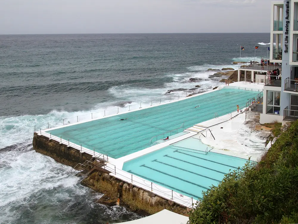
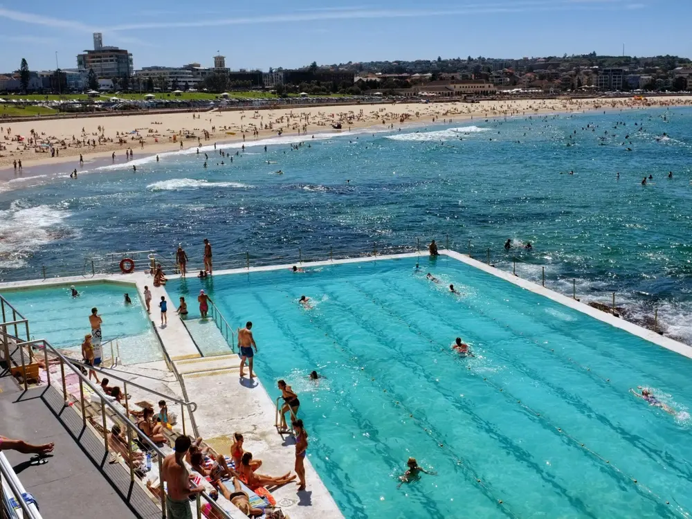
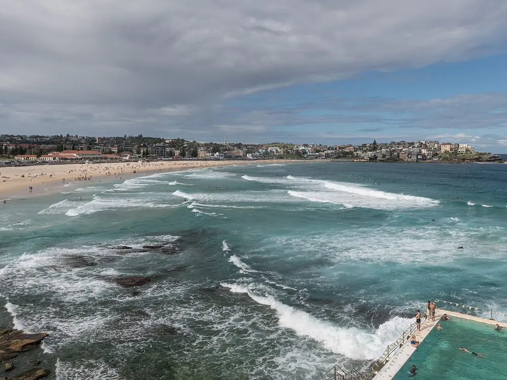
Bondi Icebergs and Sydney's ocean pools, Sydney, Australia. Photo: François Bianco (CC BY-SA 2.0)

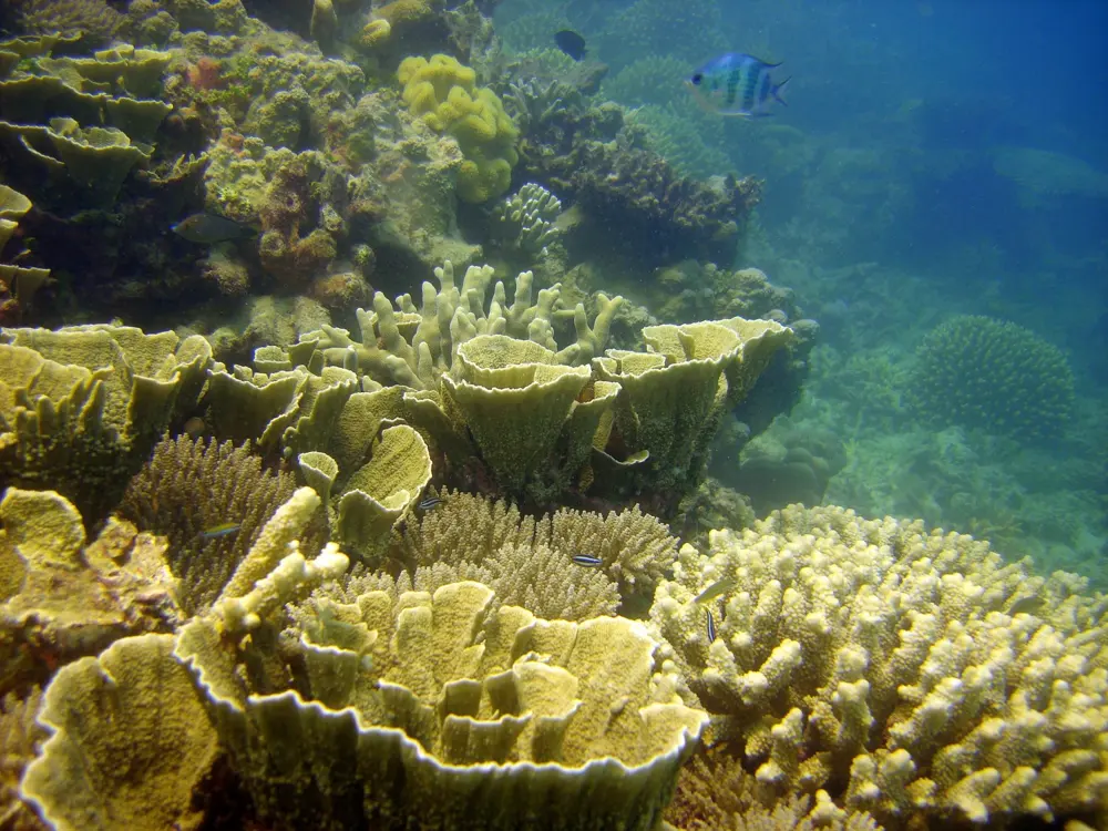
Australians and New Zealanders swim outdoors as a habit. Sydney's ocean pools are cut into the rock, thousands race from Lorne Pier every January, and on the reefs of Queensland and Western Australia the coral starts a few strokes from the sand. Inland, Top End creeks fall into plunge pools, a lake of pure rainwater sits on the world's largest sand island, and the glacial lakes of the Southern Alps stay cold all summer.

These ten run from Sydney, Victoria and Queensland to the Northern Territory and Western Australia, and from the coast north of Auckland to Nelson Tasman and Otago. For each one you get the classic swims, the water and the best season, how to get there, the fees, rules and closures, how hard it is and where to stay. Every fact comes from park agencies, councils, event organisers, operators and the other pages linked at the bottom.

Updated 2026-10-19

  1. 01Bondi Icebergs and Sydney's ocean poolsSydney, Australia
  2. 02Heron Island, Great Barrier ReefQueensland, Australia
  3. 03Ningaloo Reef: Turquoise Bay and Coral BayWestern Australia, Australia
  4. 04Rottnest Island (Wadjemup)Western Australia, Australia
  5. 05Lake McKenzie (Boorangoora), K'gariQueensland, Australia
  6. 06Lorne and the Pier to PubVictoria, Australia
  7. 07Litchfield National ParkNorthern Territory, Australia
  8. 08Abel Tasman National ParkNelson Tasman, New Zealand
  9. 09Goat Island Marine Reserve (Te Hāwere-a-Maki)Leigh, Auckland, New Zealand
  10. 10Lake WānakaOtago, New Zealand
01 / 10

Bondi Icebergs and Sydney's ocean pools

Sydney, Australia
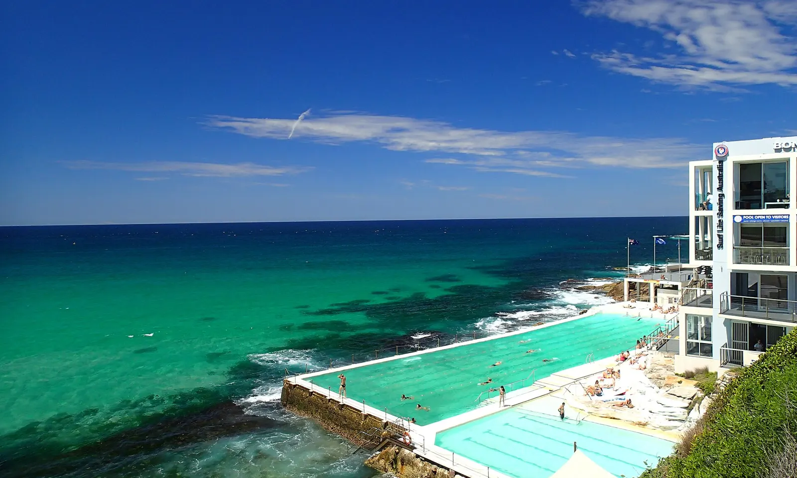
The Bondi Icebergs pools on the rocks at the southern end of Bondi Beach, with the clubhouse above and the green Pacific beyond

Photos: François Bianco (CC BY-SA 2.0), Tony Hisgett from Birmingham, UK (CC BY 2.0), Tim Grubb (CC BY-SA 3.0), DXR (CC BY-SA 4.0)

Distance
50 m main pool; Bondi to Bronte ocean swim about 2.2 km
Entry
Icebergs A$10 adult, A$7 child; Bronte Baths free
Water
About 17.5 C in July to 23.5 C in February
Lifeguards
Bondi Beach patrolled every day of the year

Why go

At the southern end of Bondi Beach, the Bondi Icebergs pool sits on the rock shelf with the Pacific breaking over its outer wall. Its winter swimming club was founded in 1929 by local lifesavers who wanted to stay fit through the cold months, and for years members had to swim on three Sundays out of four for five years to keep their place. The pool is open all year, and Sydney's eastern beaches are lined with more ocean pools a short walk apart.

The route

Swim laps in the 50 metre main pool at Icebergs, with a smaller children's pool beside it. Then walk the coast path south: Bronte is just over a kilometre away, where the ocean fed lap pool of Bronte Baths is free to use. The 6 km Bondi to Coogee walk continues past Tamarama, Clovelly and Gordons Bay to Wylie's Baths, a few hundred metres south of Coogee Beach. For open water, the Bondi to Bronte Ocean Swim covers about 2.2 km; its 25th edition is on 8 November 2026.

When to go

Average sea temperatures at Bondi run from about 17.5 C in July to 23.5 C in February, so summer and early autumn are the easy months. The Icebergs pool stays open in winter, when the club swims, and from May to November the coast walk is a good place to watch for whales.

Getting there

Bondi is about 30 minutes by public transport from Town Hall station. Take the train to Bondi Junction and a bus to the beach, or a bus that runs straight from the city centre; plan the trip on transportnsw.info.

Permits and booking

Icebergs entry is A$10 for adults, A$7 for children and A$30 for a family, with the sauna included. The pool is closed on Thursdays for cleaning, though in summer it may open when tides allow. Bronte Baths is free. Wylie's Baths, open every day, charges A$6.50 for adults. Bondi Beach is patrolled all year: 6am to 7pm from October to April and 7am to 5:30pm from May to September.

How hard it is

Big swell can wash over the Icebergs wall, which is part of its appeal but rough on a weak swimmer. On the beach, swim between the red and yellow flags. The southern half of Bondi is shaped by rips, including the strong Backpackers' Rip that runs out against the southern headland, and Surf Life Saving's BeachSafe advises against swimming there; the north end is gentler. Bronte has underwater rocks and swell from any direction.

Where to sleep

Bondi has everything from youth hostels to beachside hotels, including QT Bondi and the self contained Adina Apartment Hotel on Hall Street.

Tips

  • If you are caught in a rip, stay calm and raise an arm for the lifeguards.
  • Check the Icebergs website on a Thursday, or plan your Icebergs swim for another day.
02 / 10

Heron Island, Great Barrier Reef

Queensland, Australia

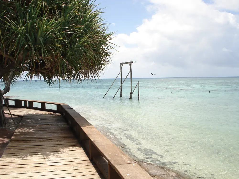
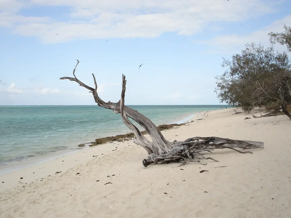
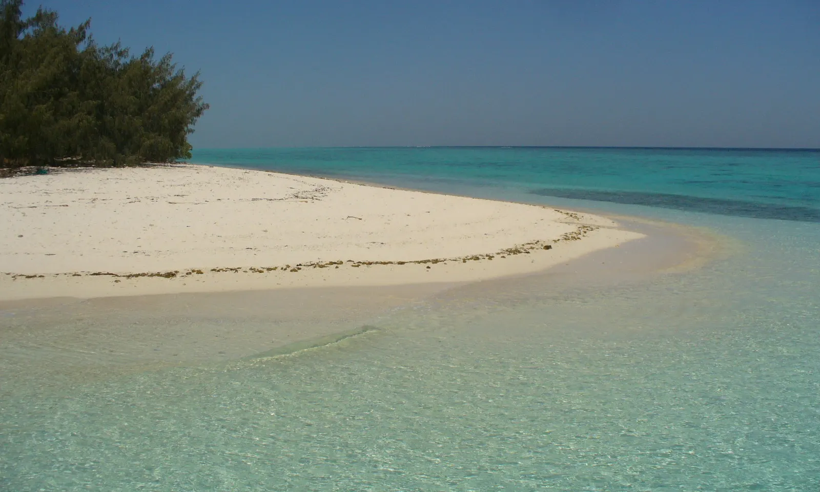
Clear shallow water over white sand at Heron Island, with low island forest at the edge of the beach

Photos: brittgow (CC BY 2.0), Ove Hoegh-Guldberg / Oregon State University (CC BY-SA 2.0), Mudgee65 (CC BY-SA 4.0), Mudgee65 (CC BY-SA 4.0)

Distance
About 87 km north east of Gladstone
Snorkel
Off the beach, two hours either side of high tide
Boat
About 2.5 hours from Gladstone, A$99 each way
Turtles
Nesting and hatching November to March

Why go

Heron Island is a small coral cay, about 800 m long and 300 m wide, on the leeward side of Heron Reef at the southern end of the Great Barrier Reef. The reef supports about 900 of the Great Barrier Reef's 1,500 fish species and 72 per cent of its coral species, and you reach it by swimming off the beach. The island holds a resort, the University of Queensland's research station, set up in the 1950s, and on its eastern half part of Capricornia Cays National Park. Green turtles make up about 98 per cent of the turtles that nest on its sand.

The route

Snorkel straight from the beach at Shark Bay, named after the harmless shovelnose ray, or from the Gantry in front of the Pandanus Lounge; the resort suggests Shark Bay for beginners. For more, the resort runs a Snorkel Survey Tour of 1.75 hours with up to 45 minutes in the water, mostly swimming against the current, and snorkelling boat tours over Heron and Wistari reefs. Heron Bommie, a few minutes away by boat, is the island's best known site, where divers, snorkellers and people in the semi submersible all go to see turtles at the cleaning station.

When to go

Snorkelling runs all year, and the resort describes conditions as generally clear and calm with good visibility. Turtles nest and hatch from November to March, manta rays are most likely in winter, and seabirds breed from October to April. A shorty wetsuit is enough in summer; in the colder months the resort suggests a 7 mm full length suit.

Getting there

The island is about 87 km north east of Gladstone. The resort's boat, the Heron Islander, leaves the Heron Island ferry terminal at 72 Bryan Jordan Drive, Gladstone, at 9:30am and takes about 2.5 hours; it returns from the island at 12:45pm and does not sail on Tuesdays, Thursdays or Christmas Day. Check in opens at 7:45am and closes at 9am. A helicopter from Gladstone Airport takes about 30 minutes.

Permits and booking

The boat costs A$99 each way for adults and A$80 for children aged 3 to 12. The helicopter is A$766.09 per adult one way, fuel levy included, with at least four adults per return flight. Masks, snorkels and fins are free for guests, and wetsuits cost A$20 to A$30 a day. The Snorkel Survey Tour is A$30; the boat tours are A$60 for adults and A$45 for children aged 6 to 12, with at least four people per trip. Snorkelling in the harbour is banned during the day because of boat traffic: the resort's page gives the window once as 8am to 5:30pm and once as 8am to 4pm, so ask on arrival.
How hard it is

Inside the reef the water is shallow and sheltered, but the resort asks you never to snorkel alone or out of sight of others, and never to swim out to the reef edge. The Snorkel Survey Tour is for advanced swimmers who can do 400 m without fins and have snorkelled before. The resort advises snorkelling within two hours of high tide.

Where to sleep

Guests stay at Heron Island Resort, run by the Aldesta Group in the north west corner of the island, which takes up to 300 guests.

Tips

  • Tide times are printed in the daily Heron Times and posted outside the Marine Centre.
  • On turtle walks, use no torch or flash and never stand between a turtle and the water.
03 / 10

Ningaloo Reef: Turquoise Bay and Coral Bay

Western Australia, Australia

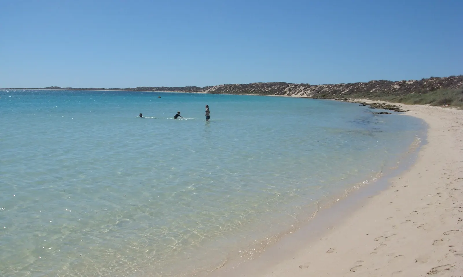
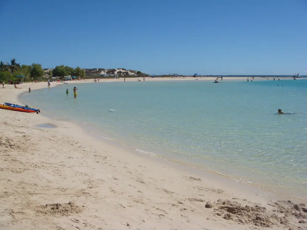
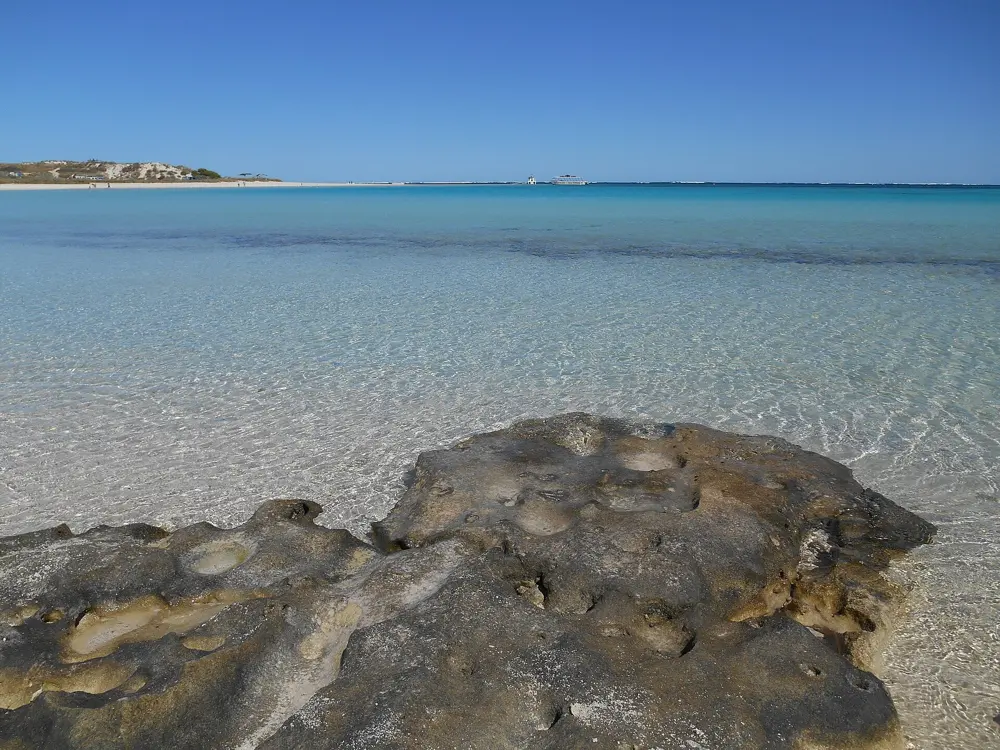
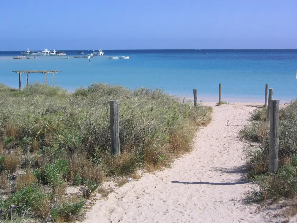
The curve of white sand and clear turquoise water at Coral Bay on the Ningaloo Coast, with dunes beyond

Photos: User: (WT-shared) Inas at wts wikivoyage (Public domain), User: (WT-shared) Inas at wts wikivoyage (Public domain), Richhandley (CC BY-SA 4.0), Phil Whitehouse from London, United Kingdom (CC BY 2.0)

Distance
Reef under 500 m from the beach at Coral Bay
Reef
About 260 km long, World Heritage since 2011
Tide
Snorkel Turquoise Bay at 1.2 m or higher
Whale sharks
From about March; tours to late June or July

Why go

Ningaloo is one of the world's longest fringing reefs, about 260 km of coral along the coast of Western Australia, and in places such as Coral Bay it lies less than 500 m from the beach. You walk off the sand and swim over coral. The Ningaloo Coast became a World Heritage site in 2011. Whale sharks gather to feed along the reef each year, and manta rays, dugongs and humpback whales pass it in winter.

The route

In Cape Range National Park, Turquoise Bay has the reef's best known swim, the drift snorkel. Park at the Drift Snorkel car park, walk south along the beach for at least 100 m, swim straight out and let the current carry you north over the coral gardens, then get out before the sandbar. The bay also has a gentler snorkel over sand and scattered coral bommies. Lakeside, an all tide site in a sanctuary zone, has big coral bommies about 100 m out, and at Oyster Stacks you can see reef and fish from the shore. At Coral Bay, Bill's Bay averages about 3 m deep, with Ayre's Rock about 300 m out from the northern end of the beach, and Five Fingers Reef, about 4.5 km south of town, is shallow and calm.

When to go

Turquoise Bay is open all year. Snorkel it and Oyster Stacks at a high tide of 1.2 m or more; tide charts are at the Milyering Discovery Centre and the Exmouth visitor centre. Whale sharks arrive from about March, after the coral spawning; Coral Bay tours run from 1 March to late June and Exmouth's to late July. After Tropical Cyclone Narelle, Exmouth reopened on 10 April 2026 and most Cape Range campgrounds on 27 April, but Boat Harbour and One K were not expected back before 1 August and no later notice was found, so check the park alerts.

Getting there

The reef is about 1,200 km north of Perth. Flights from Perth to Learmonth, about 36 km from Exmouth, take about two hours; the drive is about 1,250 km. Australia's Coral Coast puts Turquoise Bay 60 km from Exmouth, and the Ningaloo Centre gives the Cape Range sites as roughly 40 km, so allow for the longer figure. You need your own vehicle to move between the sites.

Permits and booking

Cape Range National Park charges a vehicle entry fee, paid when you book, on arrival or with a park pass; trailers and caravans are exempt. Campgrounds are booked through Park Stay WA, usually 180 days ahead, with stays capped at 14 nights if any night falls in Western Australian school holidays.

How hard it is

The drift snorkel is not for weak swimmers. Moderate to strong currents run through Turquoise Bay because of a break in the reef, and if you miss the exit you can be carried out through the gap. Parks and Wildlife advise staying on or near the beach when currents are strong. Oyster Stacks has sharp oyster shell on a rocky shore. At Coral Bay, watch for boats in Bill's Bay, where the glass bottom boats moor, and stay clear of the channel markers off Purdy Point.

Where to sleep

Exmouth and Coral Bay have the beds, though after the cyclone some Exmouth places reopened at reduced capacity. In Cape Range National Park the beachside campgrounds, Osprey Bay among them, are booked through Park Stay WA and fill months ahead.

Tips

  • Wear fins at Turquoise Bay; they help you get out of the current at the exit.
  • Ask at the Ningaloo Visitor Centre or Milyering Discovery Centre for the best snorkel times on the day.
04 / 10

Rottnest Island (Wadjemup)

Western Australia, Australia

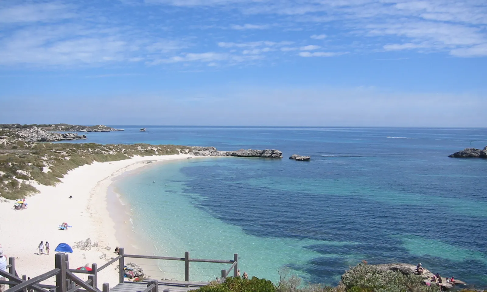
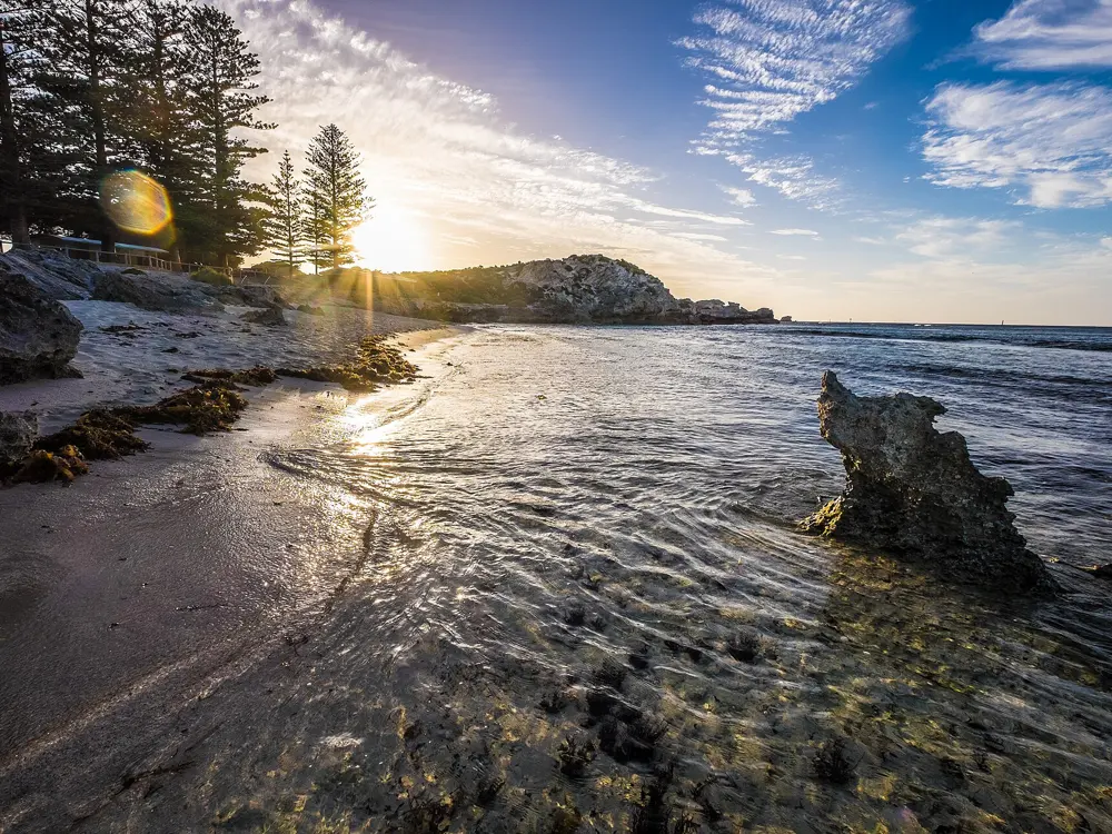
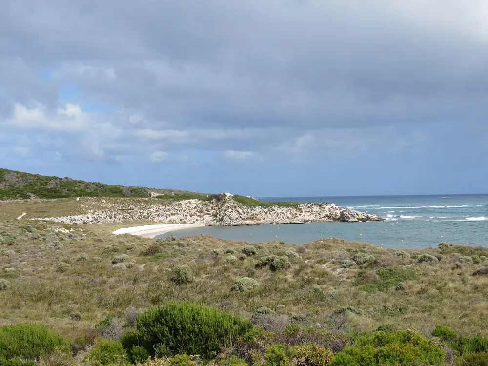
Clear blue water and a white sand beach at Pinky's Bay on Rottnest Island, with steps down from the dunes

Photos: Cookaa (CC BY-SA 3.0), Christophe95 (CC BY-SA 4.0), Matthew.crompton (CC BY-SA 4.0), Calistemon (CC BY-SA 4.0)

Distance
Rottnest Channel Swim 19.7 km from Cottesloe
Entry
A$21.50 adult day admission to June 2027
Water
About 19 C in winter to 23 C in summer
Next channel swim
Saturday 20 February 2027

Why go

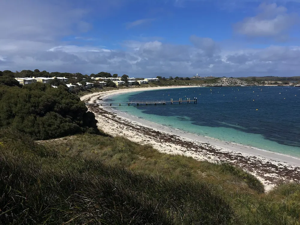
Rottnest is a car free island 18 km west of Fremantle, ringed by small bays of white sand and clear water over limestone reef. Its Noongar name, Wadjemup, means place across the water where the spirits are. Bikes are the main way around, so you can ride from one bay to the next and swim in each. The Leeuwin Current keeps the water mild into winter, and the island is the finish of one of Australia's great open water races, the swim across the channel from Cottesloe Beach.

The route

Start at The Basin, about a kilometre from the ferry jetty at Thomson Bay, where a hollow in the reef makes a sheltered natural pool. Little Salmon Bay is a shallow, sheltered lagoon with coral and rock shelves, an easy ride or bus trip from the settlement. At Parker Point on the south east side, a snorkel trail of 12 plaques marked by buoys runs along the reef to a drop off for more experienced swimmers. At Henrietta Rocks the wreck of the Shark lies about 50 m from shore, and Parakeet Bay and Geordie Bay are calm spots on the north side. The long swim is the Rottnest Channel Swim, 19.7 km from Cottesloe Beach to the island, raced solo, in pairs or in teams of four; the 37th edition is on Saturday 20 February 2027.

When to go

The water runs from about 23 C in summer to 19 C in winter, so many people swim through the cooler months; a wetsuit or rash vest helps if you feel the cold. Summer and low tide bring the best swimming at The Basin, where surf lifesavers patrol on weekends from November to January. Parker Point is busy with swimmers and boats, so go midweek, and choose a bay sheltered from the day's wind.

Getting there

Ferries run from Fremantle, from Barrack Street Jetty in Perth and from Hillarys Boat Harbour, run by Rottnest Express, SeaLink and Rottnest Fast Ferries; the Hillarys crossing takes about 45 minutes. All ferries land at the main jetty in Thomson Bay. Private and hire cars are not allowed on the island, so bring or hire a bike, or use the island bus. The Basin is reached only on foot or by bike.

Permits and booking

Every visitor pays an admission fee, normally included in the ferry fare. From 1 July 2026 to 30 June 2027 the day fee is A$21.50 for adults, A$11 for children aged 4 to 16 and A$57 for a family; if you leave on a different day, the adult fee is A$28.50. Rottnest Express lists a same day return from Fremantle at A$87.50 for an adult, admission included, valid to 30 June 2027. Channel Swim entries and rules are on the race website.

How hard it is

Most bays are calm, shallow and easy, though conditions change with the wind, so check which side of the island is sheltered. The Basin is clear of strong currents and crashing waves. Parker Point's drop off is for experienced swimmers. The channel swim is a serious ocean crossing for trained swimmers with support boats.

Where to sleep

The island can house up to 5,500 visitors, in villas, units and cottages around the settlements at Thomson Bay, Geordie Bay and Longreach Bay, and at Hotel Rottnest, the former Governor's residence.

Tips

  • Hire a bike with room for snorkel gear; the best bays are spread around the island.
  • Check the wind before you set out and ride to the sheltered side.
05 / 10

Lake McKenzie (Boorangoora), K'gari

Queensland, Australia

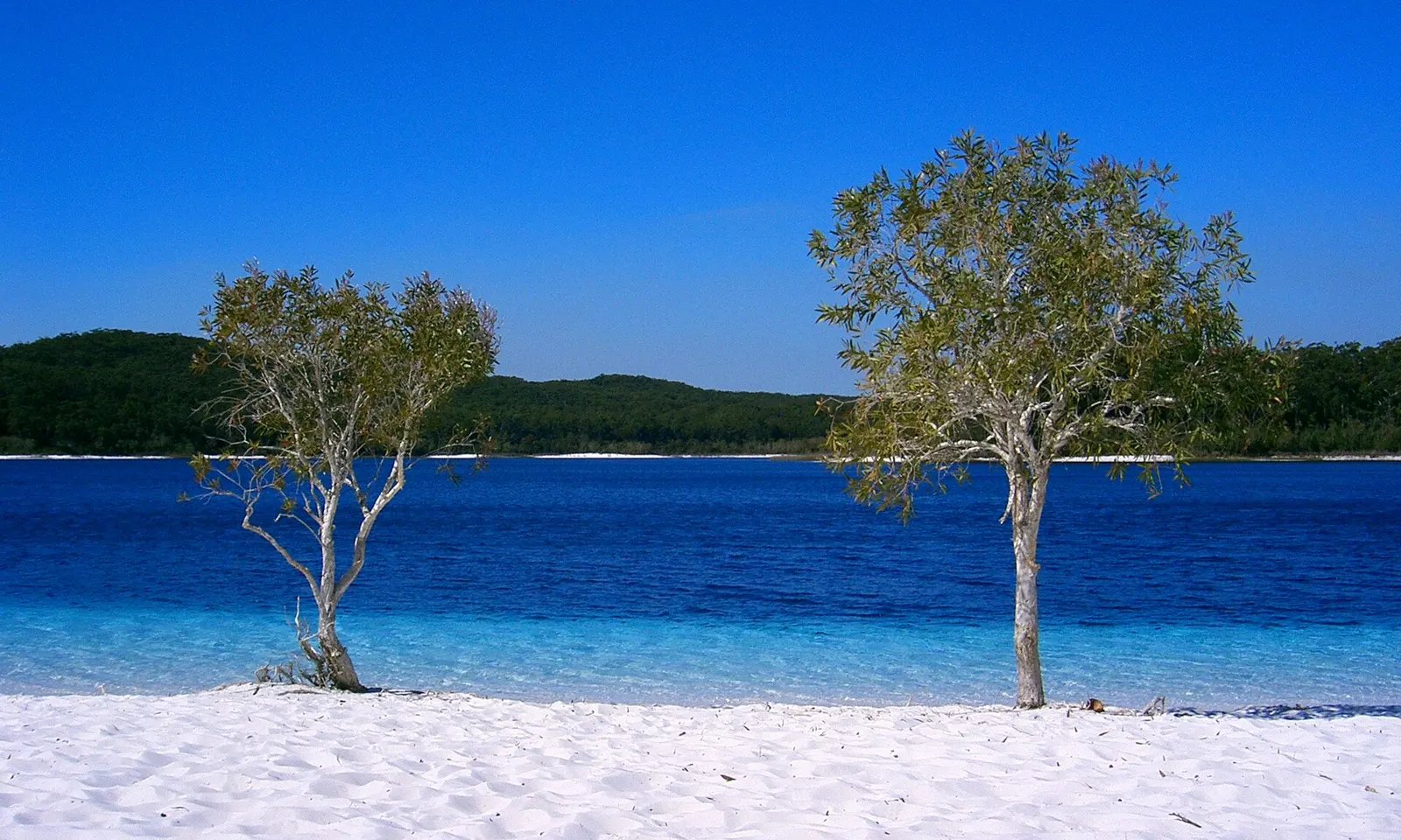
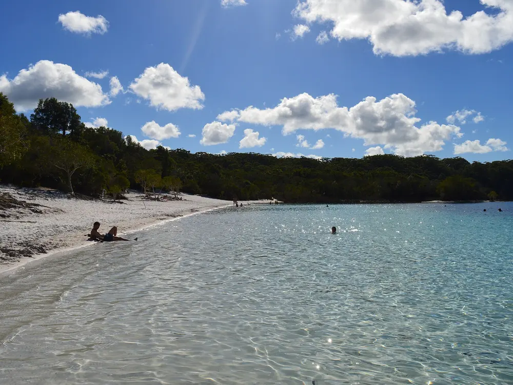
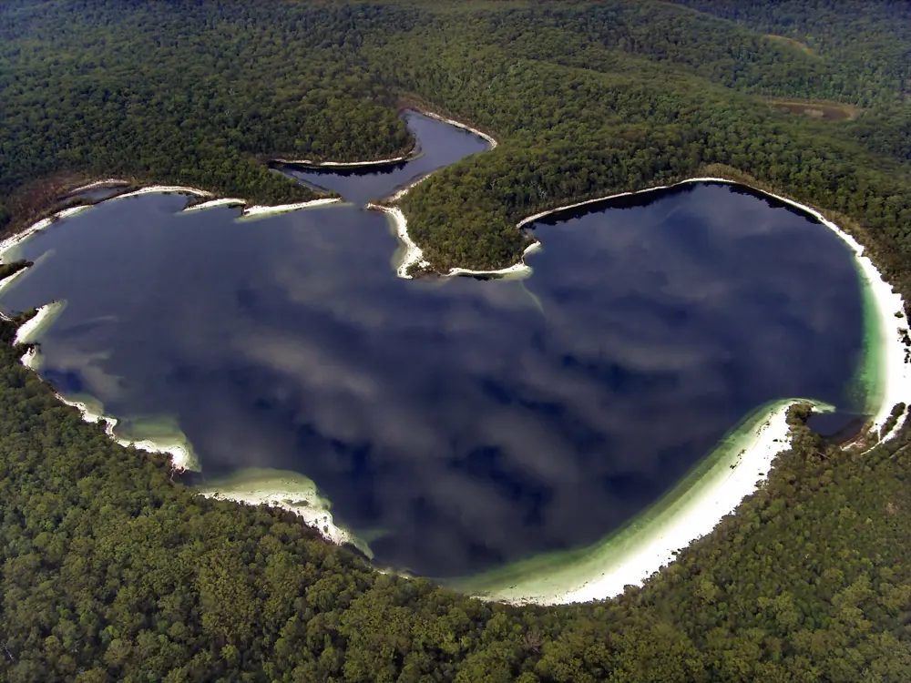
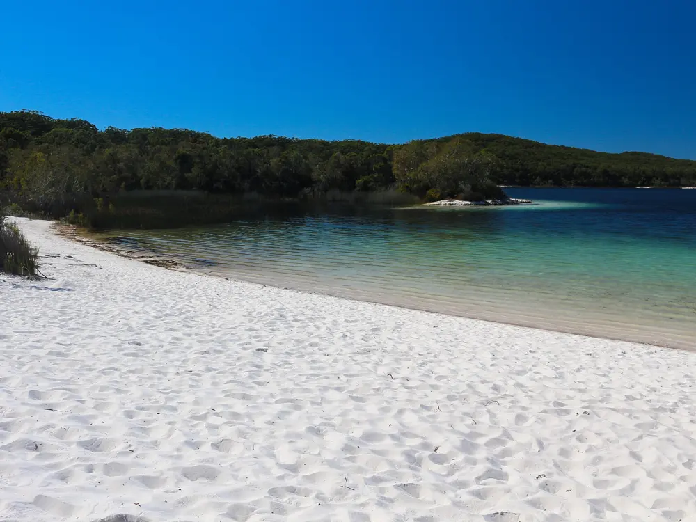
Two slender trees on the white sand beach of Lake McKenzie, with deep blue water and forest beyond

Photos: Sensenmann (Public domain), Rhain (CC BY-SA 4.0), Korkut Tas (CC BY-SA 3.0), Lucas·G (CC BY-SA 4.0)

Distance
Lake up to 1,200 m long and 930 m wide
Depth
Average 6.6 m
Access
High clearance 4WD with low range, or a tour
Permit
Vehicle access permit to drive on K'gari

Why go

Boorangoora is a perched lake on K'gari, the world's largest sand island and a World Heritage site since 1992. Its surface sits 100 m above sea level, its beaches are pure white silica sand, and the water is so pure that many species cannot live in it. Over the white sand the shallows are pale and clear, and the lake turns deep blue where it drops away. It covers about 80 hectares.

The route

Swim from the beach below the day use area, where the white sand shelves from clear shallows into deeper water; the lake's average depth is 6.6 m. It is up to 1,200 m long and 930 m wide, so there is room for a long swim along the shore. The lake is about 6 km from Kingfisher Bay Resort, and the Lake McKenzie walk links the two, so you can walk in and swim. The K'gari Great Walk also passes the lake, with a walkers' camp beside it.

When to go

The day use area is open 24 hours a day. Dingo whelping season runs from 1 June to 31 August 2026. Drones are banned at the lake from 21 December 2025 to 10 December 2026. Before you go, check the K'gari conditions report for access, closures and conditions.

Getting there

K'gari lies about 15 km off Hervey Bay and about 300 km north of Brisbane. The Kingfisher Bay passenger ferry from River Heads takes about 50 minutes, and vehicle barges cross too; from Inskip Point in the south the Manta Ray barge reaches Hook Point in 10 to 15 minutes. On the island you need a high clearance four wheel drive with low range, and the Central Lakes scenic drive to the lake is not suitable for trailers. Without a vehicle, join a commercial tour.

Permits and booking

You must buy a vehicle access permit before driving on K'gari, display it and show it if an officer asks. Government pages give different prices for a month or less, so check the fee when you book. Travel guides ask swimmers to keep sunscreen, insect repellent, soap and oils out of the lake, because they pollute the pure water.

How hard it is

The swimming is easy: calm fresh water, shallow at the edge. The risk is dingoes, wongari in the Butchulla language. In January 2025 a dingo charged two children, aged four and 12, who were swimming in the shallows here, and a man was bitten in the car park in 2024. Keep children close, keep food secured, never feed dingoes and do not let them come near. There is no wheelchair access down to the lake.

Where to sleep

Kingfisher Bay Resort, about 6 km away on the west coast, is the closest resort. Walkers on the K'gari Great Walk can book the Boorangoora great walk camp sites, and vehicle campers need a camping permit for the island's campgrounds.

Tips

  • Swim early or late in the day and cover up instead of using sunscreen.
  • Buy every permit before you cross; officers can ask to see them.
06 / 10

Lorne and the Pier to Pub

Victoria, Australia

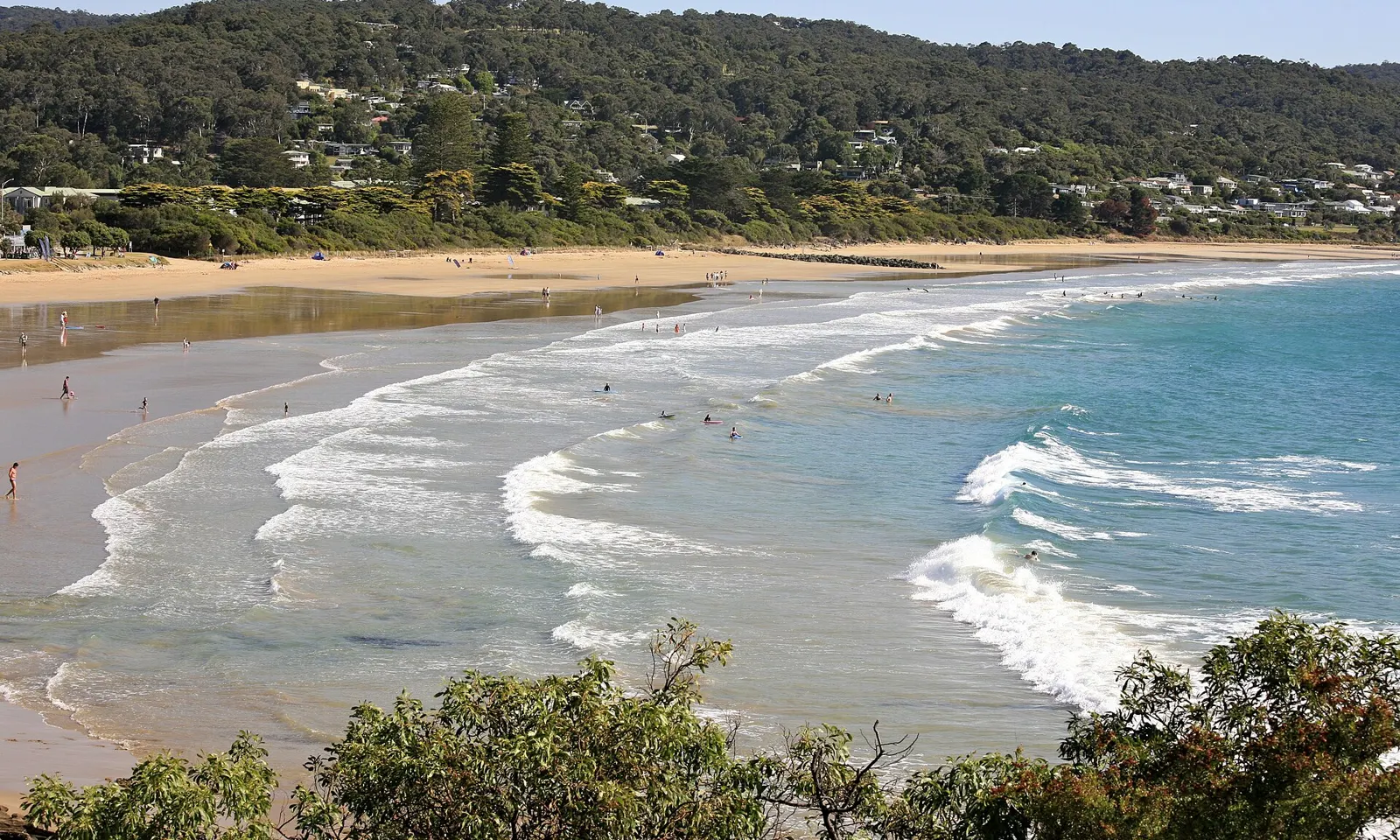
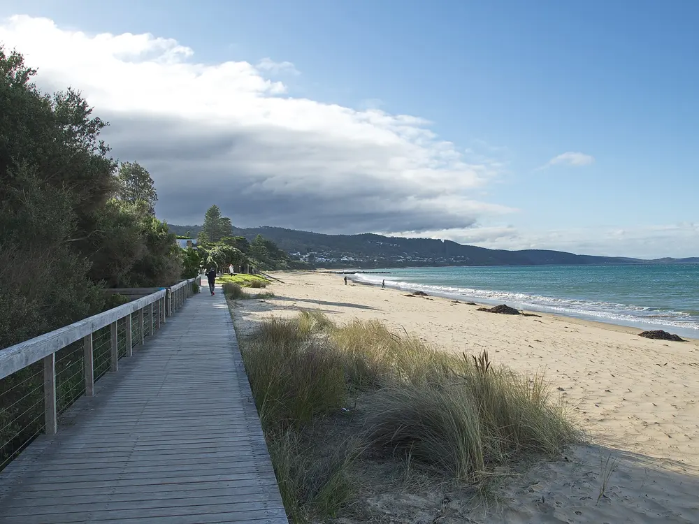
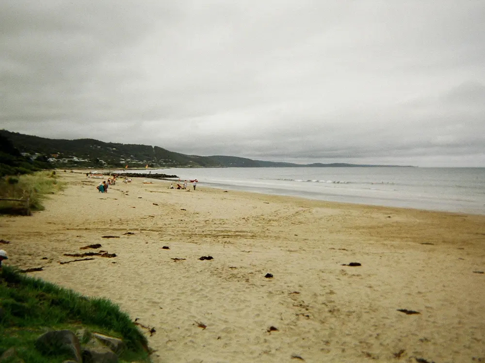
Waves rolling onto the main beach at Lorne in summer, with the town and forested hills behind

Photos: Alex Proimos from Sydney, Australia (CC BY 2.0), Boyd159 (CC BY-SA 4.0), englishguy.com (CC BY-SA 3.0), Sheba_Also 43,000 photos (CC BY-SA 2.0)

Distance
1.2 km, Lorne Pier to the surf club
Next race
Saturday 9 January 2027
Water
About 17 to 19 C in summer, 12 to 14 C in winter
Patrols
Late November to Easter, 10am to 5pm

Why go

Lorne is a seaside town on the Great Ocean Road, on a sheltered bay of sand between headlands, and each January it holds the Pier to Pub, one of the largest ocean swims in the world. The race has run since 1981; in 1988 it entered the Guinness Book of Records with 3,071 swimmers as the world's largest open water race, and more than 5,200 people swam the 45th edition in January 2025. On any other summer day the same bay is a good place for a long, cool sea swim.

The route

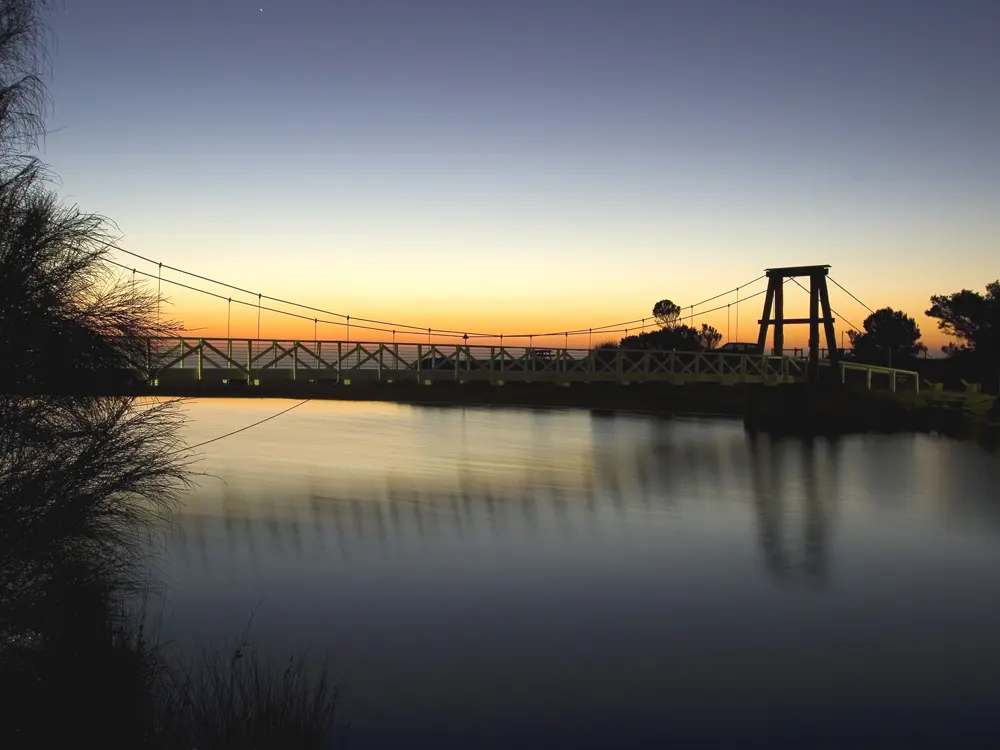
The Pier to Pub starts at Lorne Pier, which reaches 50 m into the bay at the eastern end of the main beach, and finishes about 1.2 km away in front of the Lorne Surf Life Saving Club, near the Lorne Hotel; tide and conditions can make it a little longer. The race goes off in waves through the day. On other days swim along the main beach between the flags, or from the pier end when the swell is up. Along the coast, Cumberland River, 5 km west, has a small protected beach, and Wye River is patrolled in summer at the river mouth.

When to go

In summer the water is about 17 to 19 C, and in winter 12 to 14 C. A 3/2 mm wetsuit suits summer and a 4/3 mm the rest of the year. The 2027 Pier to Pub is on Saturday 9 January, the day after the Mountain to Surf run on Friday 8 January. Entries open on 2 November 2026, and the swim sells out each year.

Getting there

Lorne is about 145 km from Melbourne, about 2 hours 15 minutes by the Great Ocean Road through Geelong and Torquay, or about 2 hours inland via Winchelsea. Without a car, take the V/Line train from Southern Cross to Geelong and the coach on towards Apollo Bay, about 3 hours 15 minutes door to door; it runs once or twice a day and may not run on Sundays or public holidays.

Permits and booking

The beach is free and the pier is open 24 hours, with toilets and showers at its end. The Pier to Pub swim costs A$80 at the early bird price, rising by A$10 from 1 December. Swimmers must be 12 on race day and should be able to swim 1.5 to 2 km regularly and finish in under 40 minutes; slow swimmers may be taken out of the water. Wetsuits are not required, though many wear one. Lorne Surf Life Saving Club patrols the central part of the main beach between the flags from late November to Easter, daily from 10am to 5pm; outside those times you swim at your own risk.

How hard it is

The main beach slopes gently and the headlands shelter it, so on most summer days it is an easy swim. On bigger swell, rips form at the western end towards Lorne Point; if the surf at the point is over about 6 ft, move to the pier end. A south easterly onshore wind can chop up the bay quickly.

Where to sleep

More than 5,000 swimmers come to town for the Pier to Pub, so book a bed early for race weekend.

Tips

  • Check the Swellnet Lorne report for swell and wind before you swim.
  • Enter the Pier to Pub as soon as entries open on 2 November.
07 / 10

Litchfield National Park

Northern Territory, Australia

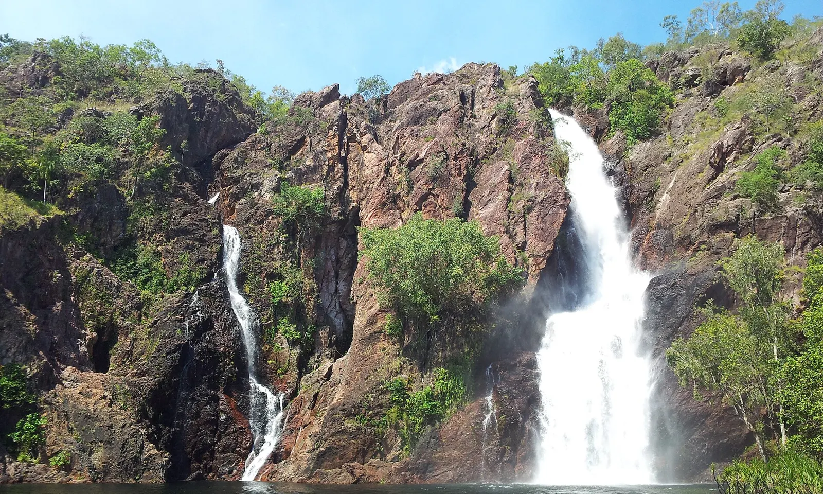
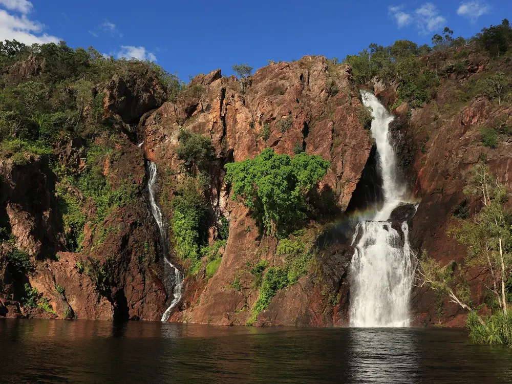
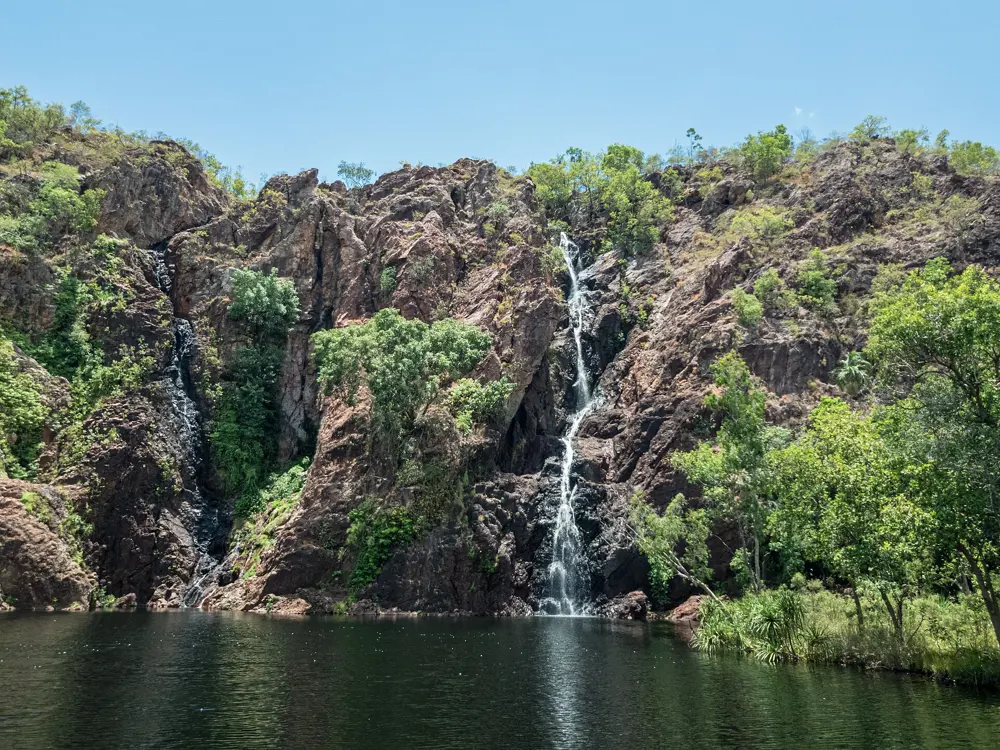
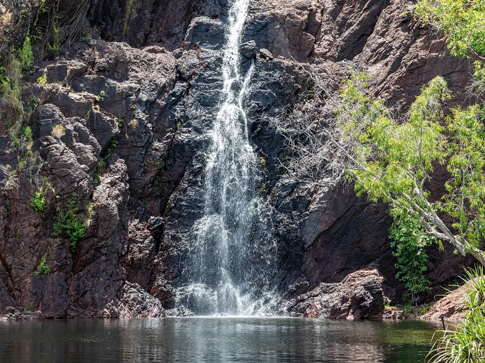
Twin waterfalls pouring down red cliffs into the plunge pool at Wangi Falls in Litchfield National Park

Photos: leighblackall (CC BY-SA 3.0), Georgel.pcs (CC BY-SA 4.0), Dietmar Rabich (CC BY-SA 4.0), Dietmar Rabich (CC BY-SA 4.0)

Distance
About 100 to 115 km from Darwin
Entry
NT Parks Pass, A$10 a day for adults
Season
Dry season, May to October
Wet season
Wangi Falls closed to swimming, typically October to March

Why go

Litchfield is the Top End's swimming park: about 1,500 square kilometres of sandstone plateau and savanna whose creeks drop off the edge into plunge pools and rockholes. It is a day trip from Darwin on sealed roads, and in the dry season, once rangers have checked the pools for saltwater crocodiles, you can swim under waterfalls in monsoon forest.

The route

Wangi Falls is the biggest swim, a large waterhole at the foot of the falls, with a kiosk, picnic tables and a campground beside it. Florence Falls is a double waterfall dropping into a plunge pool in a pocket of monsoon forest. The short way down is 160 steps, or take the 1 km Shady Creek walk through woodland and forest; enter from the rocky edge or down the steps into deeper water, and you can swim right up to the falls. Buley Rockhole is a chain of cascades over flat rock shelves, with several rockholes deeper than 2 m. With a four wheel drive, Surprise Creek Falls is a more remote swimming hole. Below Tjaetaba Falls on Greenant Creek is a sacred site where swimming is not allowed; swim only above the falls.

When to go

Come in the dry season, from May to October, when days are warm and nights cooler. Heavy monsoonal rain from October to April often closes the swimming spots because of flooded roads, flash floods and the chance of saltwater crocodiles moving in, and the sites are surveyed for crocodiles after the wet before they reopen. Wangi Falls is closed to swimming in the wet season, typically October to March, though its camping and picnic areas stay open. Florence Falls flows all year. Go early in the day to swim before the crowds.

Getting there

The park is near Batchelor, about 100 km south west of Darwin. Tourism NT gives the drive as 60 to 90 minutes, and about 115 km, on sealed roads.

Permits and booking

Interstate and international visitors need an NT Parks Visitor Pass; Territorians do not, but may be asked to show proof of residency. Adult passes are A$10 for a day, A$20 for three days, A$30 for two weeks, A$45 for a month and A$60 for a year, and a child's day pass is A$5. Camping costs extra, and every campsite must be booked online before you arrive. Swimming closures are decided site by site, so check the park's status page before you go.

How hard it is

The swims are short and the water is calm in the dry season. The rocks are the hazard: boulders at Florence Falls are slippery getting in and out, and the current close to the falls can be strong. Never swim where a site is signed closed, and keep out of other creeks and rivers: large saltwater crocodiles live in the Finniss River area.

Where to sleep

The park has campgrounds at Wangi Falls, with hot showers, Buley Rockhole, Florence Falls, Tjaynera Falls (Sandy Creek), Walker Creek and Surprise Creek Falls, all booked online.

Tips

  • Parking at Buley Rockhole is limited, so arrive early.
  • Buy your Parks Pass online before you set off.
08 / 10

Abel Tasman National Park

Nelson Tasman, New Zealand

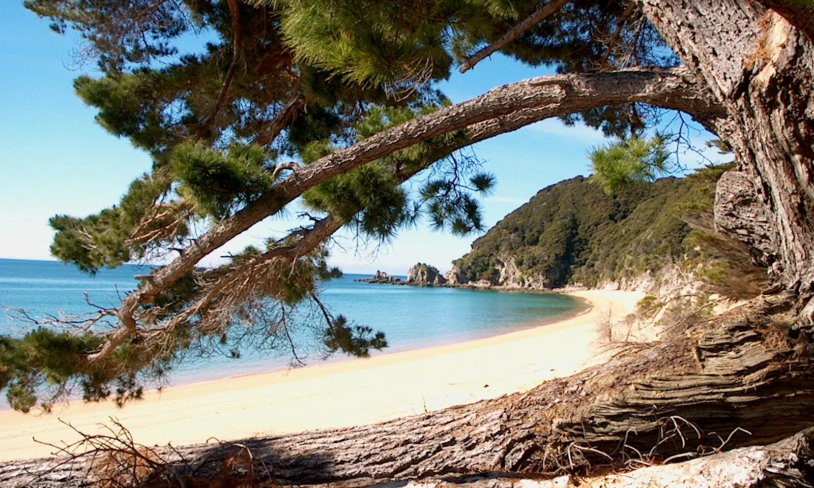
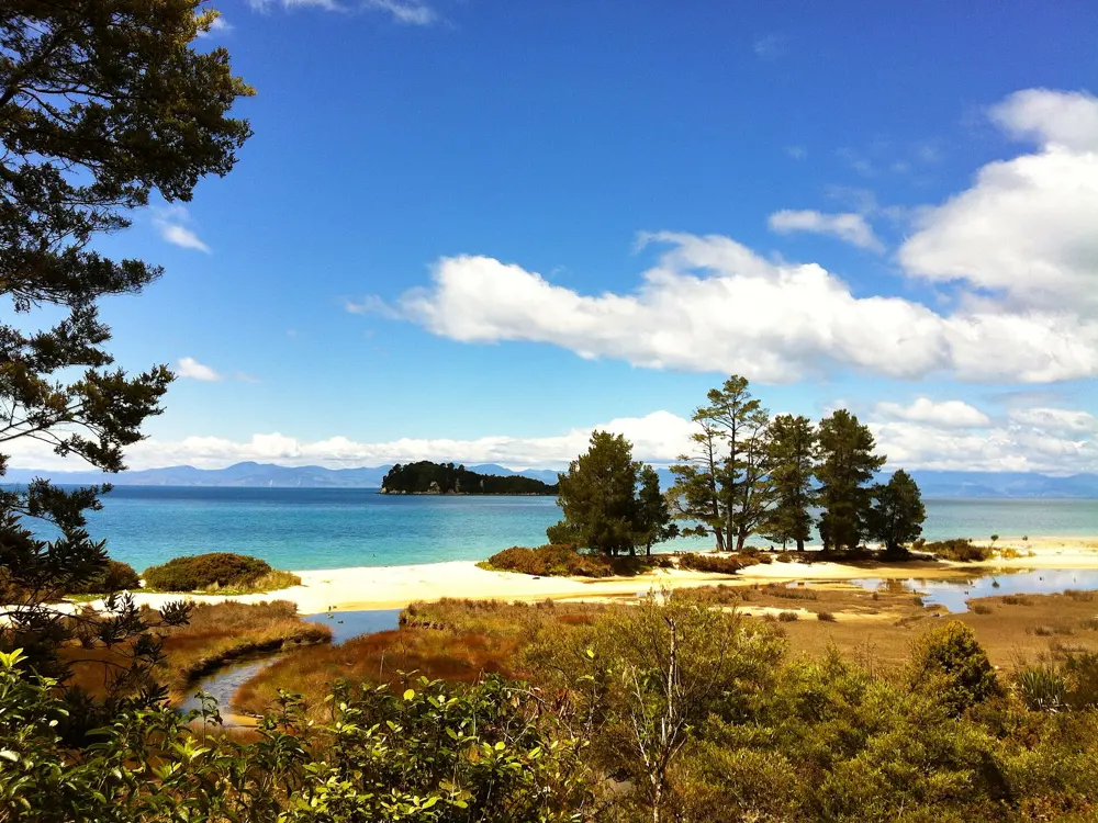
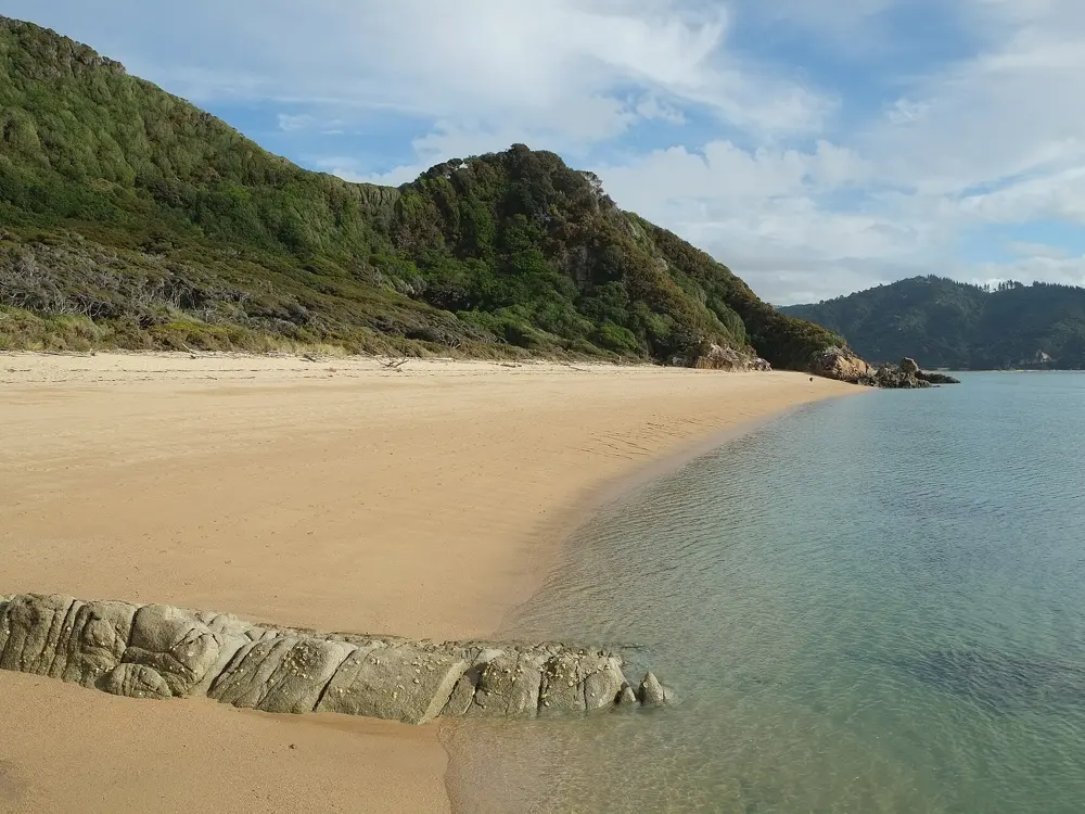
A golden beach and calm blue bay framed by an overhanging tree in Abel Tasman National Park

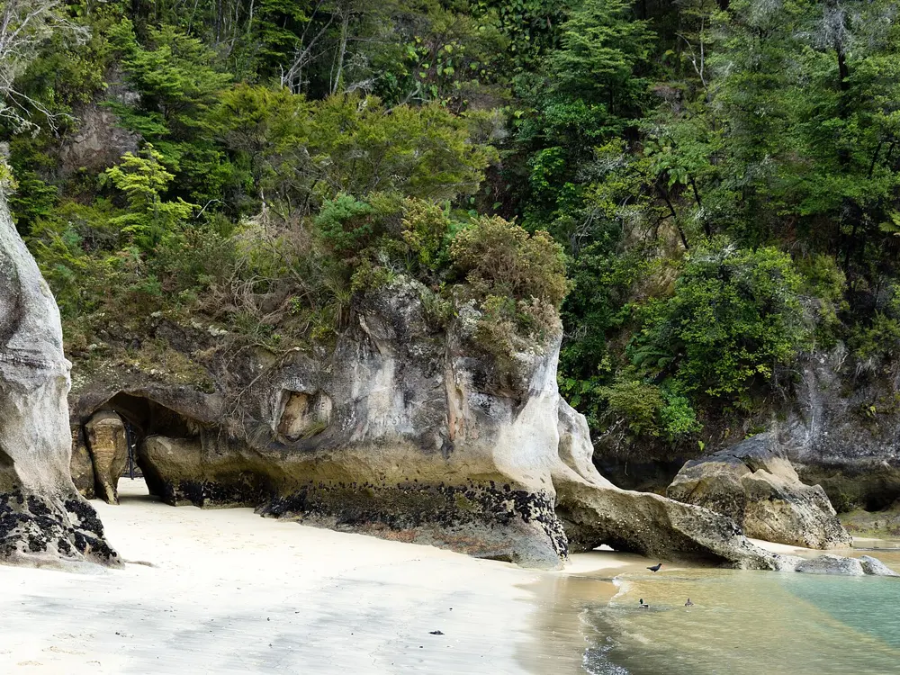
Photos: Photo taken by Patrick Orlob (Public domain), Christoph Strässler from Oberdorf BL, Schweiz (CC BY-SA 2.0), David Broad (CC BY 3.0), Pseudopanax at English Wikipedia (Public domain)

Distance
Te Pukatea Bay: 2 km return walk from Anchorage
Park
237 square km, New Zealand's smallest national park
Marine reserve
Tonga Island, 1,835 ha, since 1993
Huts
NZ$84 a night for international adults, 1 Oct to 30 Apr

Why go

Abel Tasman is New Zealand's smallest national park and one of its most visited: a coast of golden beaches, carved granite cliffs and clear water at the top of the South Island. It was set up in 1942, 300 years after Abel Tasman's visit. No road runs along most of this coast, so you arrive by boat, sea kayak or on foot along the Coast Track and swim from whichever beach you land on.

The route

Anchorage is the park's most visited beach, about 11.5 km or four hours' walk from Marahau along the Coast Track. From it an easy one hour return walk of 2 km leads to Te Pukatea Bay, a crescent of golden sand framed by bush and one of the most sheltered swimming beaches in the park. Cleopatra's Pool, about two hours return from Anchorage by the high tide track, is a fresh water swim. Further north, the Tonga Island Marine Reserve covers 1,835 hectares of clear coastal water where you can swim, snorkel and kayak, and New Zealand fur seals breed on the rocky shores and islands.

When to go

Summer is the busy season, and Anchorage is crowded on summer weekends and in school holidays; hut and campsite prices are higher from 1 October to 30 April. At Tōtaranui the mean daily maximum runs from about 13 C in July to about 23 C in February. Fur seals breed from October to January. Swim in settled conditions, and expect sandflies at dawn and dusk.

Getting there

Marahau, the southern gateway, is 67 km from Nelson on a sealed road, and Kaiteriteri is 61 km. Water taxis run all year between Marahau or Kaiteriteri and Tōtaranui, with pickup points including Apple Tree Bay, Anchorage, Bark Bay, Onetahuti and Awaroa; book ahead, as boats depend on the weather. Tōtaranui is 160 km from Nelson by road, the last 12 km unsealed.

Permits and booking

Park entry and day walks are free. All Coast Track huts and campsites must be booked in advance all year, and arriving without a valid booking can bring a penalty or removal from the park. From 1 October to 30 April adults pay NZ$55 (New Zealand rate) or NZ$84 (international rate) a night in huts, and NZ$21 or NZ$31 at campsites, with stays limited to two nights per site. Dogs are not allowed. In the marine reserve, taking, disturbing or damaging anything is an offence.

How hard it is

The bays are sheltered and the swimming is easy in calm weather. The tides shape the walking: Awaroa Inlet can only be crossed in daylight from 1 hour 30 minutes before to 2 hours after low tide, and the Torrent Bay and Bark Bay estuaries within 2 hours of low tide unless you take the all tide tracks. Keep at least 20 m from fur seals, which can move fast and bite.

Where to sleep

The Coast Track has 4 huts and 18 campsites, all tents only; Anchorage has the first and largest, with a 34 bunk hut. Tōtaranui Great Walk campsite is for track walkers, one night only, and Mosquito Bay campsite can be reached only by boat or kayak.

Tips

  • Book huts, campsites and water taxis early for summer.
  • Carry insect repellent for the sandflies.
09 / 10

Goat Island Marine Reserve (Te Hāwere-a-Maki)

Leigh, Auckland, New Zealand

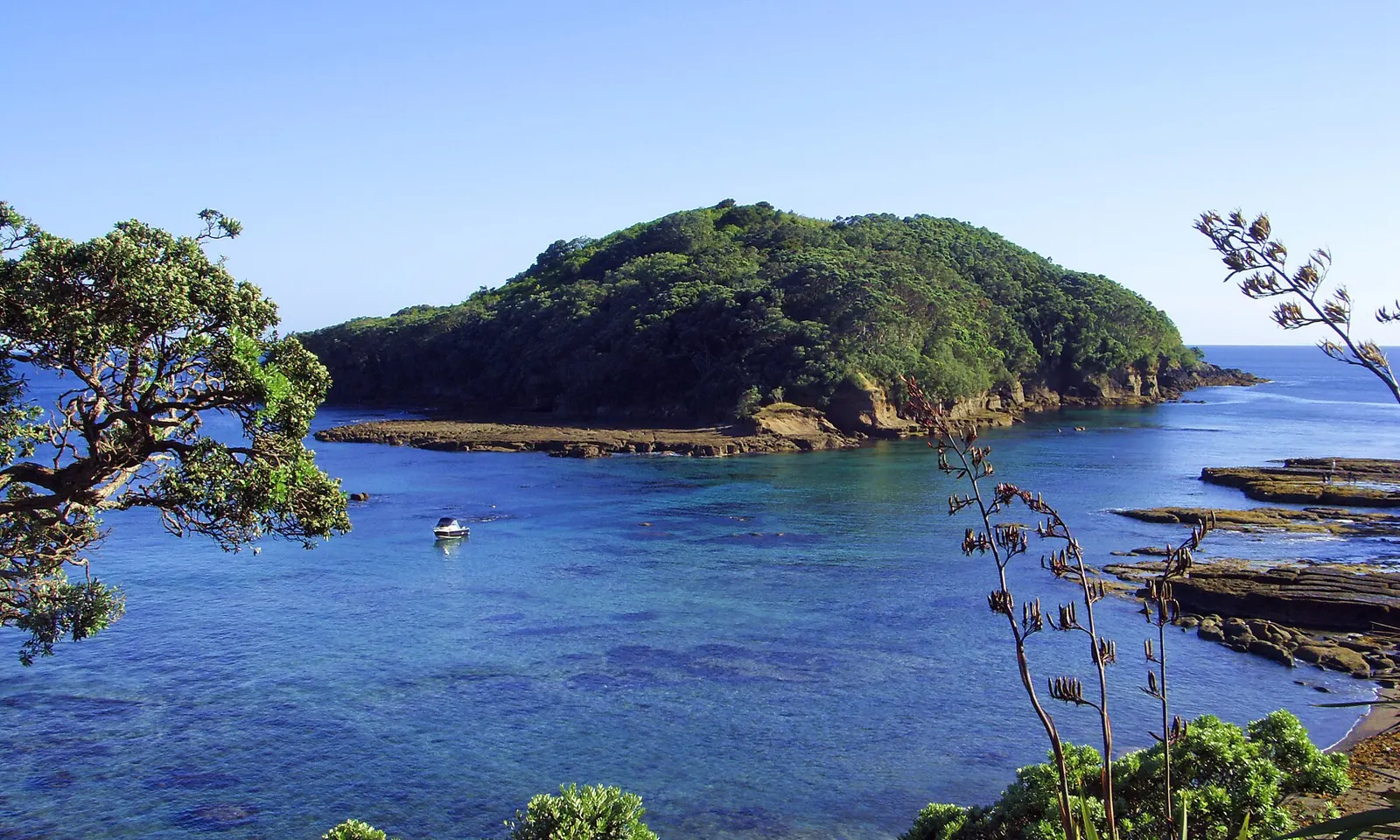
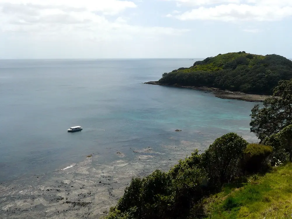
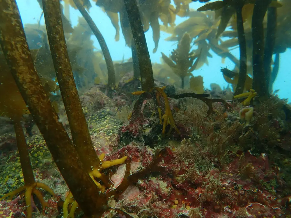
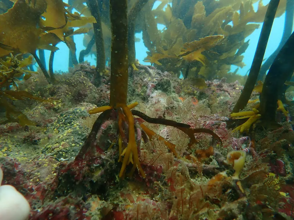
Goat Island, a small bush covered island, across a blue channel from the rocky shore of the Goat Island Marine Reserve

Photos: Korkut Tas (CC BY-SA 3.0), Zeenatul Basher (CC BY-SA 3.0), Javier (CC BY 4.0), Javier (CC BY 4.0)

Distance
Reserve reaches 800 m out from shore
Established
1975, New Zealand's first marine reserve
From Auckland
About 1.5 hours' drive
Stay out
East or north east winds over 20 knots, or swell over 1 m

Why go

The Cape Rodney to Okakari Point Marine Reserve, known as Goat Island, was created in 1975 as New Zealand's first marine reserve, and after half a century of protection the fish are abundant and unafraid. Wade in from the beach and you swim among snapper, red moki and leatherjackets over seaweed forests and sponge gardens. About 200,000 people visit each year, and the University of Auckland's Leigh Marine Laboratory sits beside it.

The route

Most people snorkel straight off Goat Island Beach towards Te Hāwere-a-Maki, the small island that gives the reserve its name, and over the rocky reefs on either side of the bay. The reserve takes in the water up to 800 m from shore between Cape Rodney and Okakari Point, from rocky shallows to underwater cliffs. If you would rather stay dry, a glass bottom boat runs over the reef, and the Goat Island Discovery Centre explains the ecosystem, which is useful on a wet day.

When to go

Calm days matter more than the month. The Department of Conservation advises against swimming, snorkelling or diving in east or north east winds above 20 knots or east or north east swells over 1 m, and warns that it can be unsafe even when it is calmer. Check wind and swell on the Goat Island surf forecast, but ignore its surfboard rating, which DOC says has nothing to do with safe swimming.

Getting there

The reserve is near Leigh, about one and a half hours' drive north of Auckland: take State Highway 1 to Warkworth and follow the Goat Island Marine Reserve signs. Leigh, the nearest town, is about seven minutes' drive away.

Permits and booking

Taking, disturbing, killing or damaging anything in the reserve is illegal, and DOC's brochure lists fishing and feeding the fish as offences too. Polluting, littering and putting up structures are also offences, and dogs are not allowed. The boundaries are marked by yellow markers on land and yellow buoys at sea. Report suspected exotic caulerpa seaweed to MPI on 0800 80 99 66, and poaching to 0800 4 POACHER.

How hard it is

In settled weather the bay is a gentle first snorkel from the beach. DOC is plain that people have died at this reserve, so be realistic about your skills and do not go in if you are unsure. Boats must keep to 5 knots within 200 m of the shore, the island or a dive flag.

Where to sleep

Leigh, a few minutes away, is the nearest town, and the reserve is close enough to Auckland for a day trip.

Tips

  • Hire gear from Goat Island Dive & Snorkel if you do not have your own.
  • Locals say it is best when the swell is under a metre.
10 / 10

Lake Wānaka

Otago, New Zealand

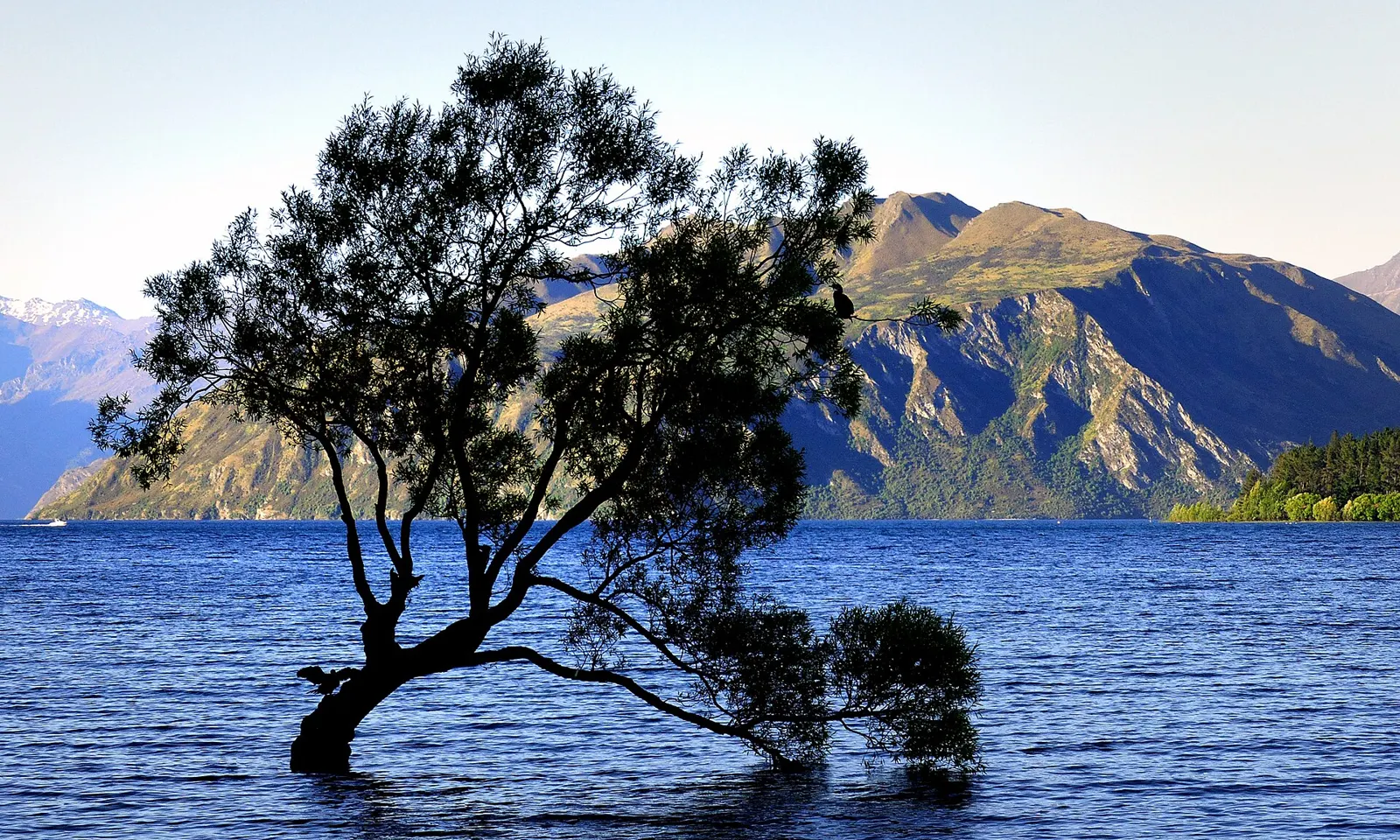
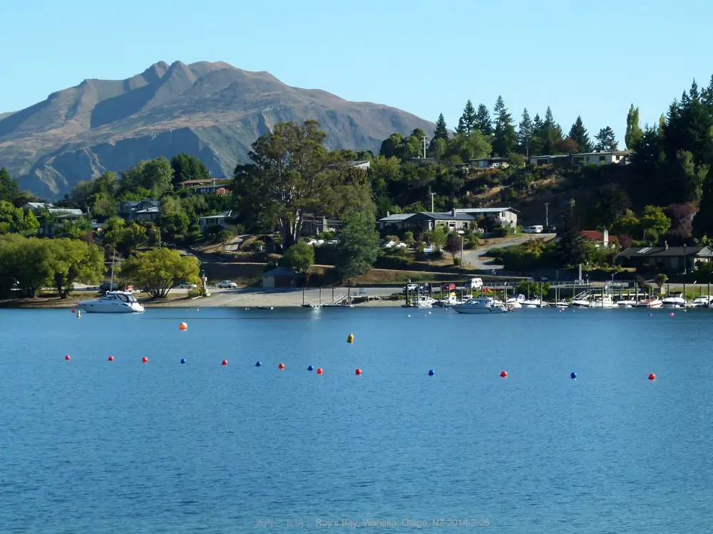
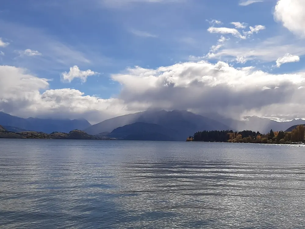
The lone willow tree standing in Lake Wānaka, with mountains across the water

Photos: Bernard Spragg. NZ from Christchurch, New Zealand (CC0), wanghongliu (CC BY-SA 3.0), Sgroey (CC BY-SA 4.0), edwin.11 (CC BY 2.0)

Distance
Lake 42 km long
Depth
Up to 311 m
Water
Rarely above 18 C at the surface
Club swims
Sundays 8:30am, Labour Day to Easter

Why go

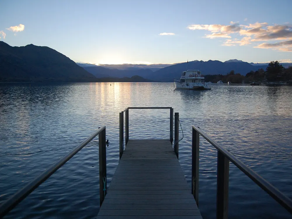
Lake Wānaka fills a valley carved by glaciers in the last ice age: 42 km long, about 198 square kilometres, and 300 m above sea level, with Mount Aspiring National Park beyond the town. The water is clear and cold, and the lakefront, the bays around it and Lake Hāwea next door give swimmers a choice of beaches within a 15 minute drive. A local club swims here every summer, and a few members carry on through the winter.

The route

In town, jump off the wharf by the lakefront beach along Ardmore Street and swim out to the pontoon. In Roys Bay a buoyed swim lane runs off the family beach opposite the Wanaka Watersports Facility, inside a five knot boating zone, and the Wanaka Lake Swimmers club starts its swims there. Eely Point is a reserve with a sheltered pebble beach, and Bremner Bay just north of it has sand. Glendhu Bay, about 12 km from town, is a long crescent of stony beach, sheltered and calm. Lake Hāwea, 15 minutes away, has a gentle slope into the water at Kidds Bush Reserve on its eastern shore.

When to go

Summer runs from December to February, with average air temperatures of 24 C and light until well after 9pm. The lake stays cold: the club recorded 14 C at 9am on one opening swim, the surface rarely gets above 18 C, and near the Matukituki River inlet it can be in single figures even in summer. The club's season opens on Labour Day in late October, with regular swims at 8:30am on Sundays from the Watersports Facility until Easter Sunday.

Getting there

Wānaka is about an hour from Queenstown Airport over the Crown Range road through Cardrona, 65 to 75 km depending on the source; the road is steep with sharp hairpins and can be icy in winter. The easier route through Cromwell on State Highway 6 is about 111 km and 90 minutes. Buses run between Queenstown Airport and Wānaka several times a day.

Permits and booking

None of the sources mention a permit or fee for swimming in the lake. The Roys Bay swim lane sits inside a five knot zone marked by buoys; elsewhere you share the water with boats. At Glendhu Bay there are only a few safe places to pull over and park in summer.

How hard it is

On a calm day the swimming is easy, but cold is the real hazard: the water comes from glacial rivers and is a shock even on a hot day. Build up your time slowly, swim with others and get out before you start to shiver.

Where to sleep

Glendhu Bay has a large lakeside camping ground, busy in December and January.

Tips

  • Swim from the town wharf for an easy entry and exit.
  • Bring a warm layer and a hot drink for afterwards; even summer water is cold.

Sources

Distances, heights, seasons and permit rules were checked against these pages. Rules change, so check the park or trail authority before you go.