Rungs Labs

Rungs Pilgrimage · Cycling · United States

The 10 Best Places to Cycle in the US

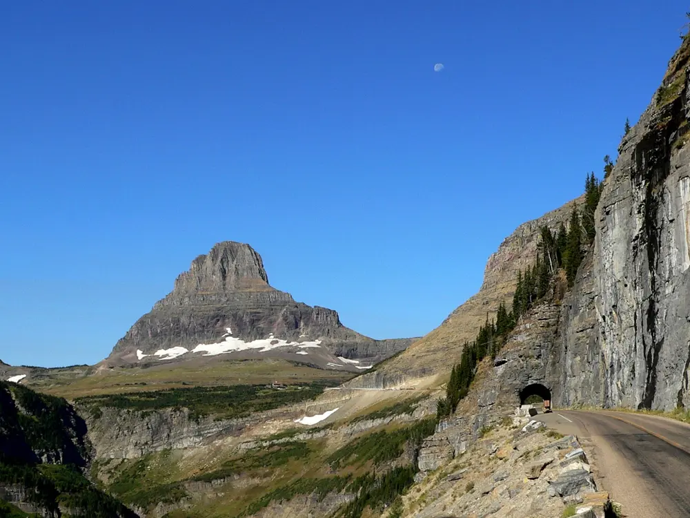
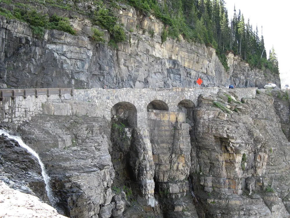
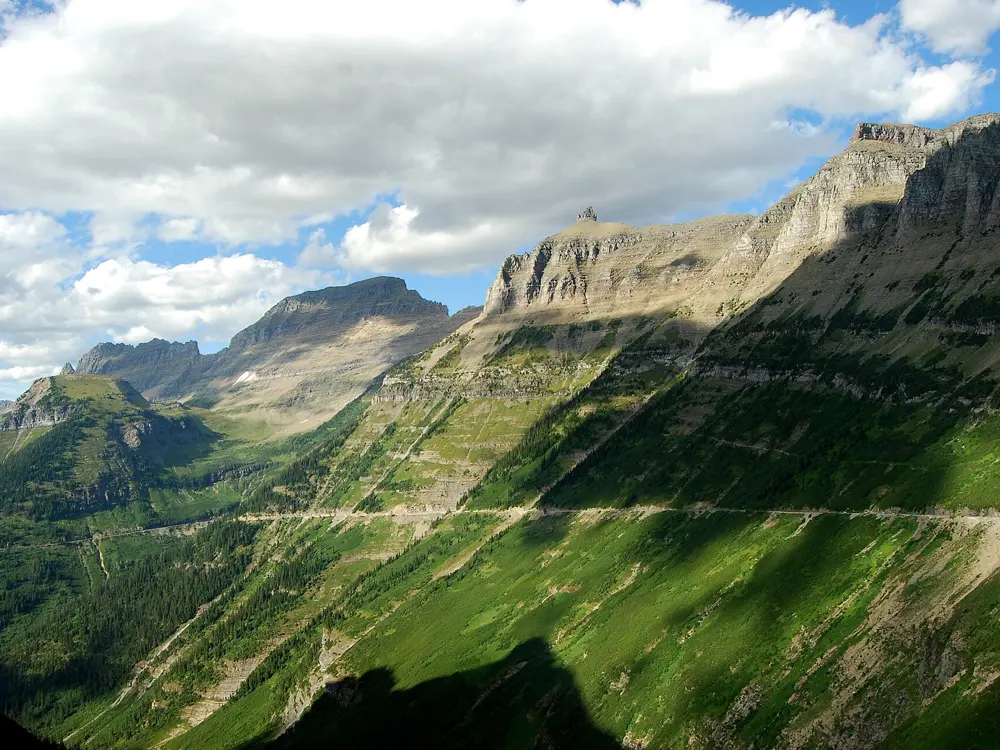
Going-to-the-Sun Road, Glacier National Park, Montana. Photo: GlacierNPS (Public domain)

The United States has mountain passes built for sightseeing cars that are now some of the finest road climbs anywhere, old railway lines turned into long, quiet trails, and desert sandstone that changed what a mountain bike could do. These ten reach from the Rockies and the Pacific coast to the Appalachians, the Ozarks, the coast of Maine and a volcano in Hawaii.

Many of the best rides run through national parks, where entry fees, seasonal road openings and special rules for cyclists change from year to year. For each place you get the classic rides, the best season, how to get there, any fees, closures or road rules, how hard it is and where riders stay. Every fact comes from the parks, trail bodies, road authorities and tourism boards, linked at the bottom of the page.

Updated 2026-10-18

  1. 01Going-to-the-Sun RoadGlacier National Park, Montana
  2. 02Big Sur Coast (Highway 1)California, United States
  3. 03MoabGrand County, Utah
  4. 04Blue Ridge ParkwayVirginia and North Carolina
  5. 05Trail Ridge RoadRocky Mountain National Park, Colorado
  6. 06Great Allegheny Passage and C&O Canal TowpathPennsylvania, Maryland and Washington DC, United States
  7. 07HaleakalāMaui, Hawaii, United States
  8. 08Acadia Carriage Roads and Park Loop RoadAcadia National Park, Maine
  9. 09Bentonville and Northwest ArkansasNorthwest Arkansas
  10. 10Katy TrailKaty Trail State Park, Missouri, United States
01 / 10

Going-to-the-Sun Road

Glacier National Park, Montana
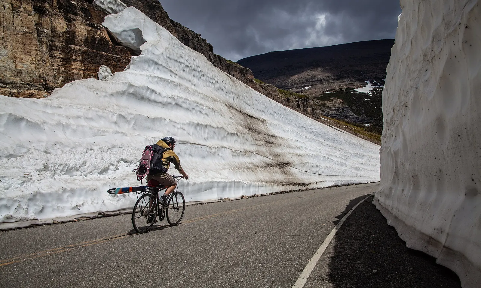
A cyclist riding Going-to-the-Sun Road between high walls of plowed snow in spring

Photos: GlacierNPS (Public domain), Ken Thomas (Public domain), MPSharwood (CC BY-SA 4.0), Mcrawfish (CC BY-SA 3.0)

Distance
Lake McDonald Lodge to Logan Pass: 21 mi (about 34 km)
Climb
3,427 ft (about 1,045 m) from the west
Logan Pass
6,646 ft (2,026 m)
Entry by bike
$20 per person for 7 days

Why go

Going-to-the-Sun Road crosses Glacier National Park for 50 miles, from the shore of Lake McDonald over the Continental Divide at Logan Pass and down to St. Mary. Before it opens to cars each summer, the park lets people walk and ride beyond the vehicle closure, so for a few weeks cyclists can climb between walls of plowed snow with the road almost to themselves.

The route

The classic ride climbs from the west. From the vehicle closure at Lake McDonald Lodge it is 21 miles to Logan Pass, and from Avalanche Creek 15.5 miles with 3,208 feet of climbing. The road follows McDonald Creek, passes the West Tunnel and the hairpin at The Loop, then traverses the cliffs of the Garden Wall by Big Bend to the pass. From the east, the climb from Rising Sun is 11.5 miles and 2,313 feet, past St. Mary Falls trailhead and Siyeh Bend.

When to go

Spring riding runs from when plowing begins until the road opens to vehicles, which has usually happened by early July. In 2026 the full road was open to bicycles only from 18 to 21 June, before cars arrived on 22 June. After that, riding is best early in the morning. The alpine section usually closes to cars around the third Monday of October, sooner if snow comes.

Getting there

Glacier Park International Airport, near Kalispell, is about 30 miles from the West Entrance, and Amtrak stops year round at West Glacier. Most riders start from Apgar. In 2026 the park ran no hiker/biker shuttle, though permitted local companies rented bikes and offered transport.

Permits and booking

Entry by bike costs $20 per person for seven days ($15 from November to April), and non-US residents aged 16 and over pay $100 more. No vehicle reservation was needed in 2026. In spring, closures for road crews apply Monday to Thursday and avalanche closures apply at all times; passing them can bring a fine of up to $5,000. Once the road opens to cars, until 27 September, bikes may not ride eastbound from Apgar to Logan Pass between noon and 6 pm, or westbound between 3 pm and 6 pm.

How hard it is

The climb is steady, with grades around 6 percent, but it is long and reaches high, cold ground. There are no bike lanes or shoulders. In summer you share a narrow road with heavy two-way traffic, ride single file, and pull over when four or more cars stack up behind you. Lights or reflectors are required between sunset and sunrise.

Where to sleep

Riders base themselves at West Glacier, Apgar or Lake McDonald Lodge on the west side, or around St. Mary on the east. Apgar, Sprague Creek and Avalanche campgrounds keep shared hiker/biker sites at $8 per person.

Tips

  • Carry bear spray, warm layers and a headlamp, since mornings on the pass are cold and services are few in spring.
  • Check the hiker/biker closure points, which the park sets each Thursday.
  • E-bikes are allowed if the motor is under 750 watts and works only while pedaling.
02 / 10

Big Sur Coast (Highway 1)

California, United States

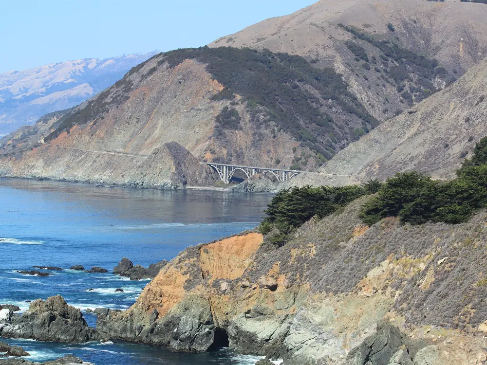
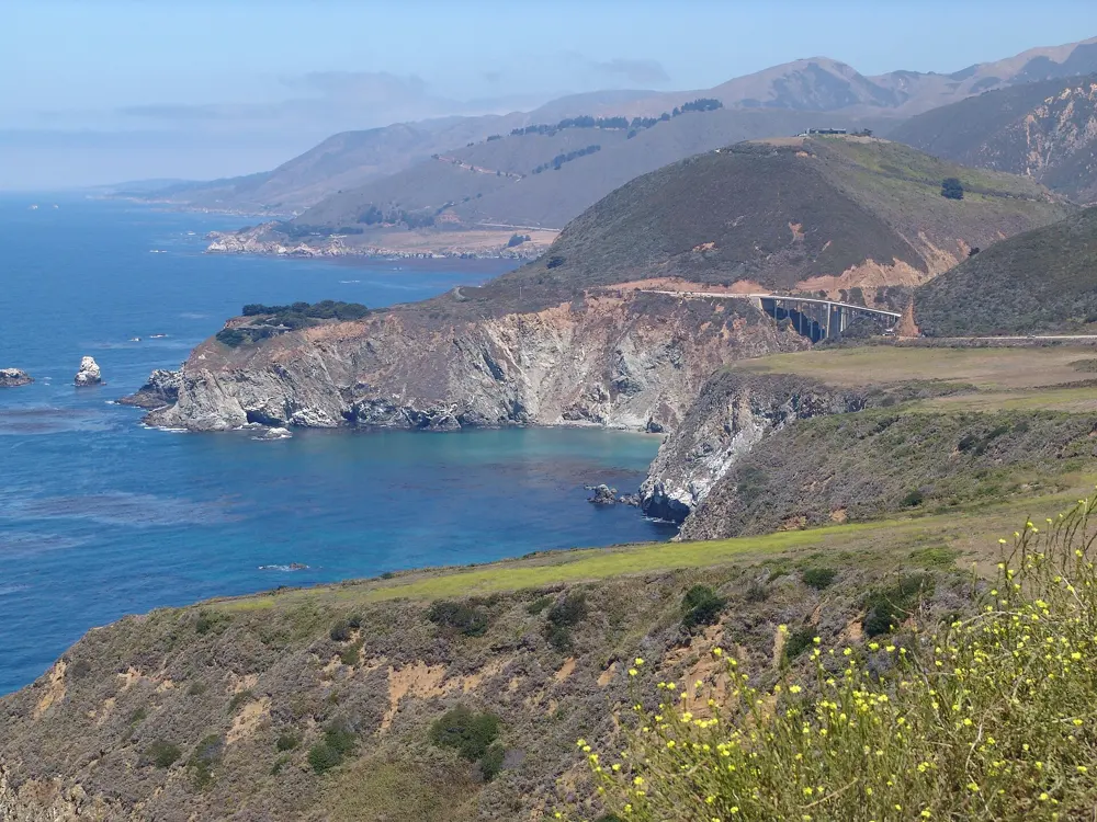
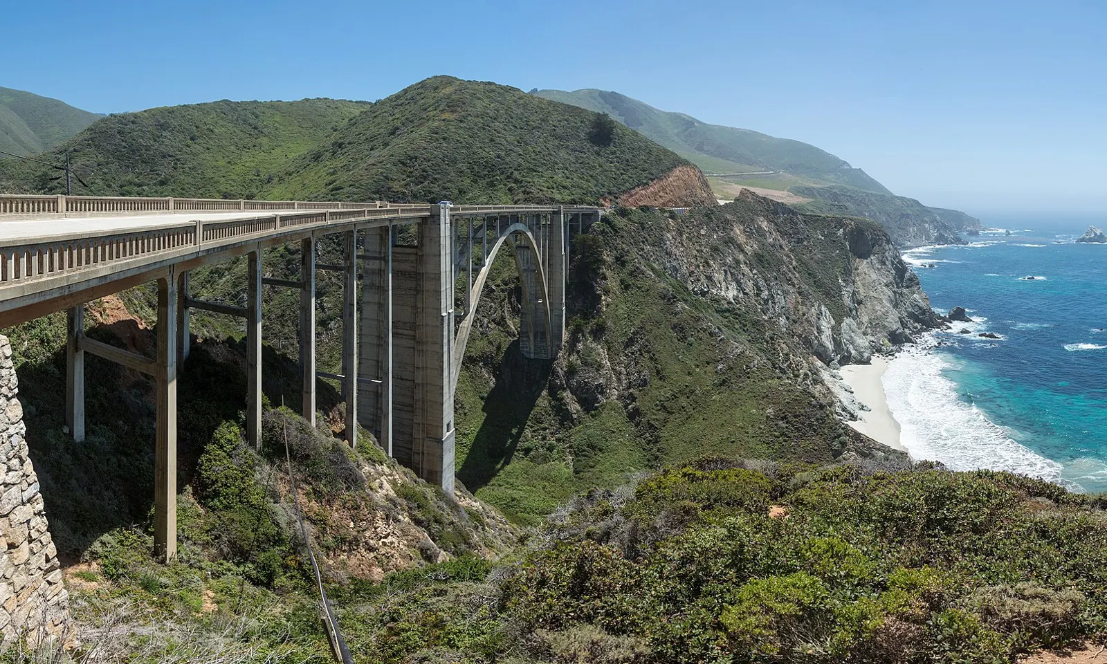
Bixby Creek Bridge arching over a canyon on the Big Sur coast, with Highway 1 and the Pacific beyond

Photos: Diliff (CC BY-SA 3.0), John Murphy (CC BY-SA 2.0), Unknown authorUnknown author or not provided (Public domain), Diliff (CC BY-SA 3.0)

Distance
Big Sur coast, Carmel Highlands to near San Simeon: 71 mi (115 km)
Bixby Bridge
260 ft (79 m) high, about 15 mi (24 km) south of Carmel
Season
April to May, September to October
Road status
Open Carmel to Cambria since January 2026, with one-way traffic control at work sites

Why go

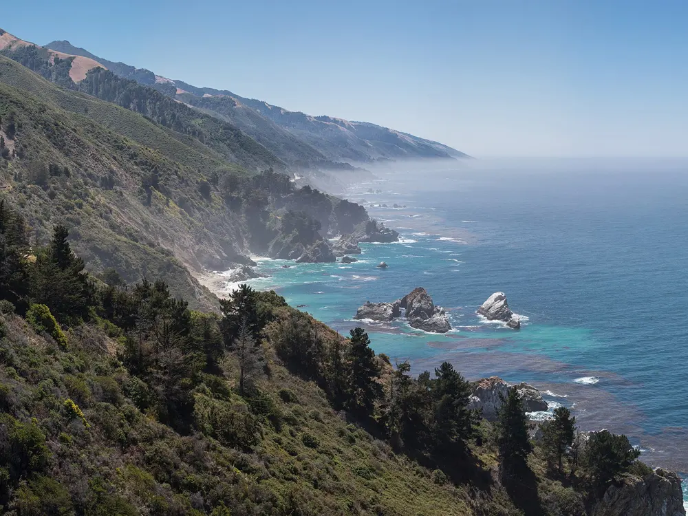
Highway 1 through Big Sur runs along the edge of the coastal mountains, with drops of up to 1,000 feet to the Pacific. It opened in 1937 and needed 29 bridges, among them the arch at Bixby Creek. For a road rider it is the classic stretch of the Pacific coast, a long day of headlands, creek canyons and open sea views.

The route

The Big Sur section runs 71 miles from Malpaso Creek, just south of Carmel, to San Carpóforo Creek near San Simeon, and many riders carry on to Cambria. About 15 miles out of Carmel you cross Bixby Bridge, then climb to Hurricane Point at about 560 feet before dropping to the Little Sur River. For a shorter ride, an out-and-back from Carmel to Hurricane Point takes in the best-known views.

When to go

April to May and September to October are the best months to ride. Thick fog often covers the coast in summer and can linger into the day, and December and January are the wettest months, when slides are most likely to close the road. Average highs run from 59°F (15°C) in December to 77°F (25°C) in August and September.

Getting there

Monterey Regional Airport is the nearest, with flights from Denver, Dallas and San Diego among others. San Francisco is about 129 miles from Big Sur by car. Most riders start in Carmel or Monterey and arrange a pickup at the southern end.

Permits and booking

No permit or fee is needed to ride Highway 1. Paul's Slide and Regent's Slide closed it for almost three years; it reopened end to end on 14 January 2026, and again from Carmel to Cambria by 18 September after the summer's wildfires. In October 2026 expect one-way signals north of Point Sur, daytime one-way control near Torre Canyon Bridge with delays of up to 20 minutes, and occasional overnight closures. Check Caltrans QuickMap before you set out.

How hard it is

The road is two lanes, narrow and full of tight curves, with steep or almost no shoulders in many places, and it climbs and drops over one headland after another. Traffic is heavy at the ends and around 6,500 vehicles a day in the middle, including rented RVs. Ride north to south to have the prevailing wind behind you and the ocean on your side of the road.

Where to sleep

Most riders base themselves in Carmel or Monterey at the north end and Cambria at the south. Big Sur village, about 20 miles south of Carmel, has small inns and campgrounds. Pfeiffer Big Sur State Park, 26 miles south of Carmel, has hike-and-bike campsites and reopened on 16 October 2026 after the Timber Fire, with several trails still closed. Camping outside designated campgrounds is illegal.

Tips

  • Carry food and water for the whole stretch, since stops along the coast are few and far apart.
  • Use lights front and rear in fog, which can roll in without warning on summer mornings.
03 / 10

Moab

Grand County, Utah

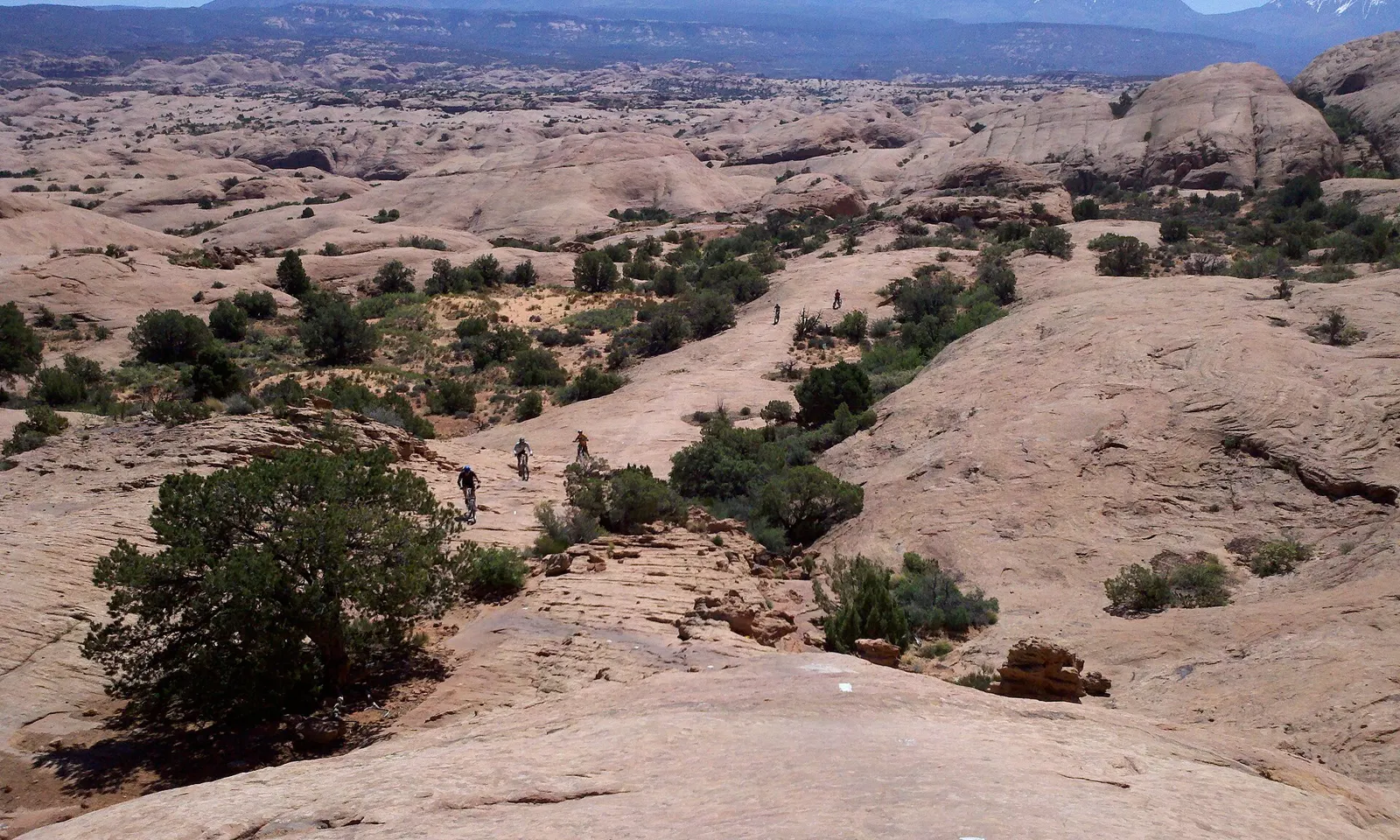
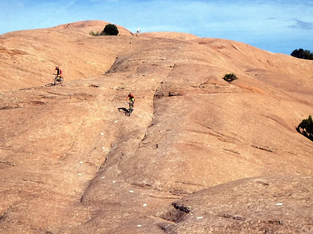
Mountain bikers on the slickrock of Sand Flats with the snow-capped La Sal Mountains behind

Photos: Jacob Montgomery (CC BY-SA 3.0), Albert Backer (CC BY-SA 3.0), Jacob Montgomery (CC BY-SA 3.0), bobistraveling (CC BY 2.0)

Distance
Slickrock Trail: 10.5 mi (about 17 km) loop
Whole Enchilada
34 mi (about 55 km), 7,794 ft (2,376 m) of descent
Season
March to early May, September to October
Sand Flats bike pass
$5 per person for 7 days

Why go

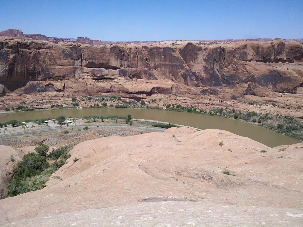
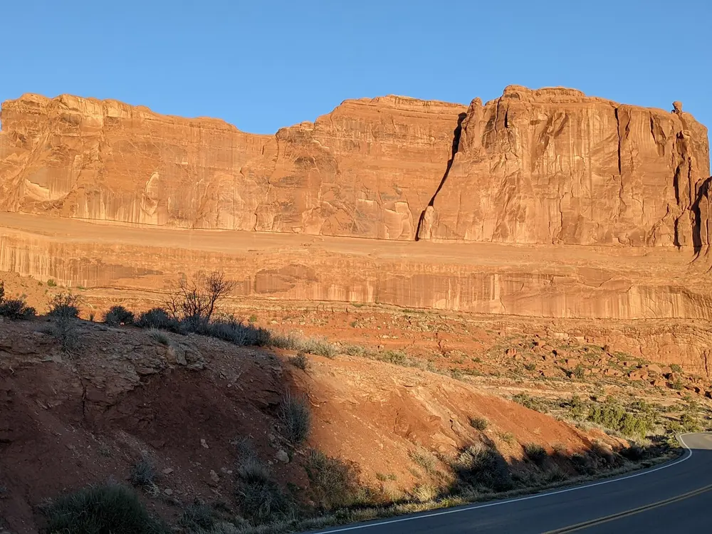
Moab is where riding on bare sandstone became a sport of its own. The town sits on the Colorado River, and its trails run from the petrified dunes of Sand Flats up to meadows in the La Sal Mountains. Road riders get a paved path to Arches National Park and a long climb to the rim of Canyonlands.

The route

The Slickrock Trail at Sand Flats, laid out for motorcycles in 1969, is a 10.5 mile loop over Navajo Sandstone. The Whole Enchilada is the big day out: 34 miles point to point from the Geyser Pass trailhead, by way of Burro Pass, Hazard County and Porcupine Rim, with 7,794 feet of descent against only 1,283 feet of climbing. For gentler riding, the Bar M system north of town has more than 30 miles of trail. On the road, the Moab Canyon Pathway reaches the Arches entrance about 2 miles from the Colorado River bridge, good for a 30 to 40 mile out-and-back in the park. Beyond it, Highway 313 climbs 35 miles one way to Grand View Point in Canyonlands.
When to go

March to early May and September to October are the main seasons, and also the busiest. Summer heat is fierce, so ride at first light or in the evening. The high Burro Pass section of the Whole Enchilada usually opens around 1 July and closes in late September with the first snow.

Getting there

Canyonlands Regional Airport, north of town, has small regional flights to Salt Lake City and Denver. Grand Junction in Colorado is about 1.5 hours away by car, and Salt Lake City about 3.75 hours. Shuttles run riders to the top of the Whole Enchilada.

Permits and booking

Sand Flats charges its own fee and does not take national park or state passes: $5 per person on a bicycle for 7 days in 2026. Arches and Canyonlands each charge $15 per cyclist, and Arches needs no timed-entry reservation in 2026. Work on the Colorado River Trail along State Route 128 near Grandstaff Canyon has held the road to one lane since 9 March 2026, with completion now expected in December 2026 or winter 2027. Cyclists may pass with the flaggers.

How hard it is

Slickrock grips well but is steep and ledgy, and suits confident riders. The Whole Enchilada is rated strenuous and technical, with exposure on Porcupine Rim. In Arches there are no bike lanes or paved shoulders, so you ride single file among buses and RVs. On the pathway only the middle 4 miles climb noticeably.

Where to sleep

Riders base themselves in Moab, among the bike shops and shuttle firms, and rooms fill in spring and autumn. Sand Flats has first come, first served campsites near the Slickrock trailhead at $20 a night per vehicle.

Tips

  • Ride Porcupine Rim on its own first to judge whether the full Whole Enchilada is for you.
  • Skip the narrow switchbacks into Arches by starting from the La Sal Mountains Viewpoint.
  • Carry more water than you think you need, since the desert trails have almost no shade.
04 / 10

Blue Ridge Parkway

Virginia and North Carolina

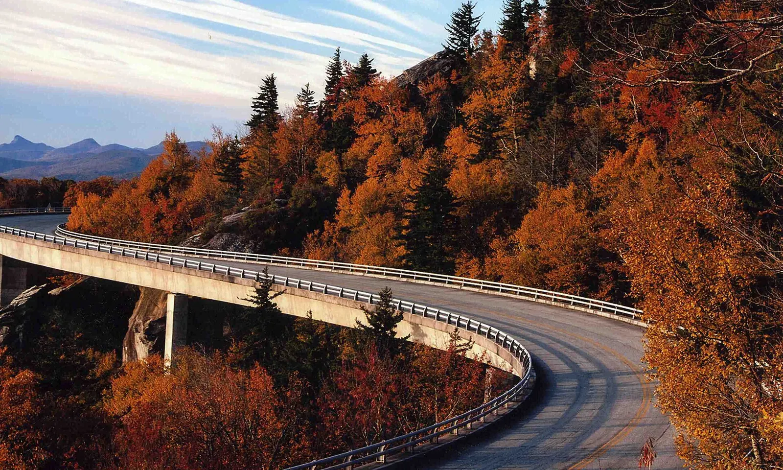
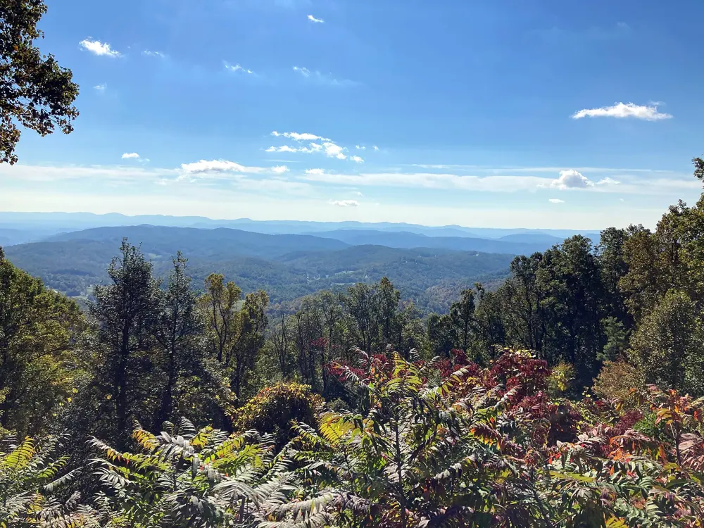
The curving Linn Cove Viaduct on the Blue Ridge Parkway among autumn trees

Photos: Goins (CC BY 2.0), Acroterion (CC BY-SA 4.0), Michael Barera (CC BY-SA 4.0), Ken Thomas (Public domain)

Distance
469 mi (755 km) end to end
Highest point
6,053 ft (1,845 m) at Richland Balsam Overlook
Total climbing
About 48,600 ft (14,800 m) southbound
Entrance fee
None

Why go

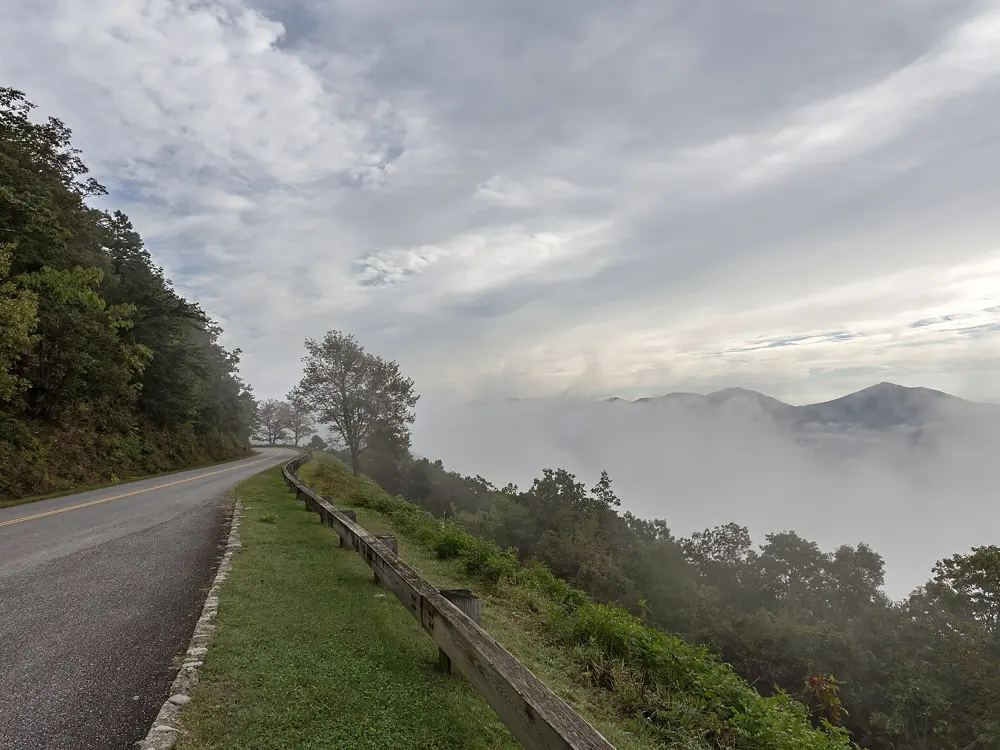
The parkway was built as a slow scenic road for cars, and that suits a bike well: no trucks, no billboards, and mile after mile of overlooks along the crest of the Appalachians. It runs from Shenandoah National Park in Virginia to the Great Smoky Mountains in North Carolina, and mileposts count every mile, so planning a ride is simple.

The route

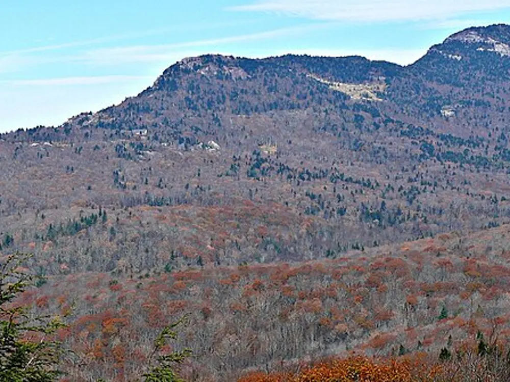
The classic ride leaves Asheville northbound for Craggy Gardens, gaining 2,535 feet between mileposts 375.3 and 364.1, and continues to Ridge Junction Overlook at milepost 355.3, 26 miles out. From there NC 128 climbs into Mount Mitchell State Park, whose summit, at 6,684 feet, is the highest point east of the Mississippi. South of Asheville the road passes Mount Pisgah to the parkway's high point at Richland Balsam, milepost 431.4. Further north, the curving Linn Cove Viaduct skirts Grandfather Mountain at milepost 304. In Virginia, the longest climb on the road leaves the James River at milepost 63.0 and gains 3,305 feet by milepost 76.7.

When to go

The park service calls spring, summer and autumn the cycling seasons, and parkway campgrounds open from May to late October. In winter, snow and ice often close sections, especially high ones, sometimes for weeks. On days of fog or rain on the crest, the park suggests riding lower roads.

Getting there

Asheville and Boone in North Carolina and Roanoke in Virginia are the largest towns along the road. The northern end, near Waynesboro, joins Skyline Drive, and the southern end is near Cherokee.

Permits and booking

There is no fee and no permit. Bikes, e-bikes included, may use only paved roads and parking areas. Ride single file and well to the right, and carry a white front and red rear light or reflector for tunnels, darkness and poor visibility. North Carolina requires helmets for riders 16 and under. As of 18 October 2026, mileposts 344.2 to 355.3, from NC 80 to Mount Mitchell State Park, remain closed after Hurricane Helene, with all recreation banned; repairs are due to finish by the end of 2026. In Virginia, the James River Bridge (mileposts 63.5 to 63.9) is closed with a posted detour, and the Roanoke Mountain Loop is closed.

How hard it is

Grades are steady rather than steep, but in places you climb over 1,000 feet in a few miles. There are no bike lanes or real shoulders, the tunnels have no lights inside, and water and services can be far apart.

Where to sleep

Many riders stay in Asheville, Boone or Roanoke and ride out and back. Tourers use parkway campgrounds such as Mount Pisgah, Julian Price and Peaks of Otter, at $30 a night on recreation.gov. Linville Falls and Crabtree Falls campgrounds are closed after Helene.

Tips

  • Check the NPS road closures page on the morning of your ride, since gates close at short notice.
  • Wear high-visibility clothing and carry layers, as the temperature drops sharply on the high sections.
  • Purify stream water; safe taps are only at picnic areas, campgrounds and visitor centers in season.
05 / 10

Trail Ridge Road

Rocky Mountain National Park, Colorado

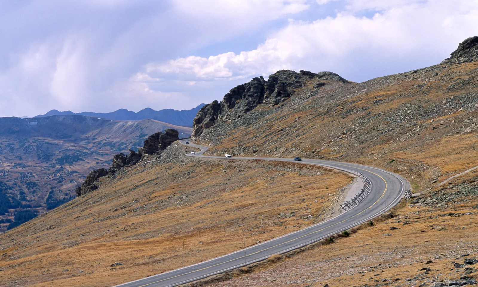
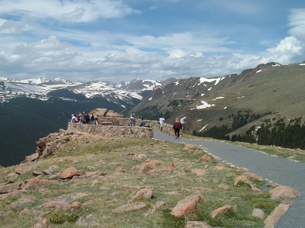
Trail Ridge Road curving across golden alpine tundra below rocky outcrops in Rocky Mountain National Park

Photos: Dariusz Kowalczyk (CC BY-SA 3.0), DXR (CC BY-SA 4.0), Brian Zinnel (CC BY-SA 4.0), KimonBerlin (CC BY-SA 2.0)

Distance
Estes Park to the summit: 17.9 mi (about 29 km)
Climb
4,352 ft (about 1,330 m), 4.6% average
High point
12,183 ft (3,713 m)
Entry by bike
$20 per person for 7 days

Why go

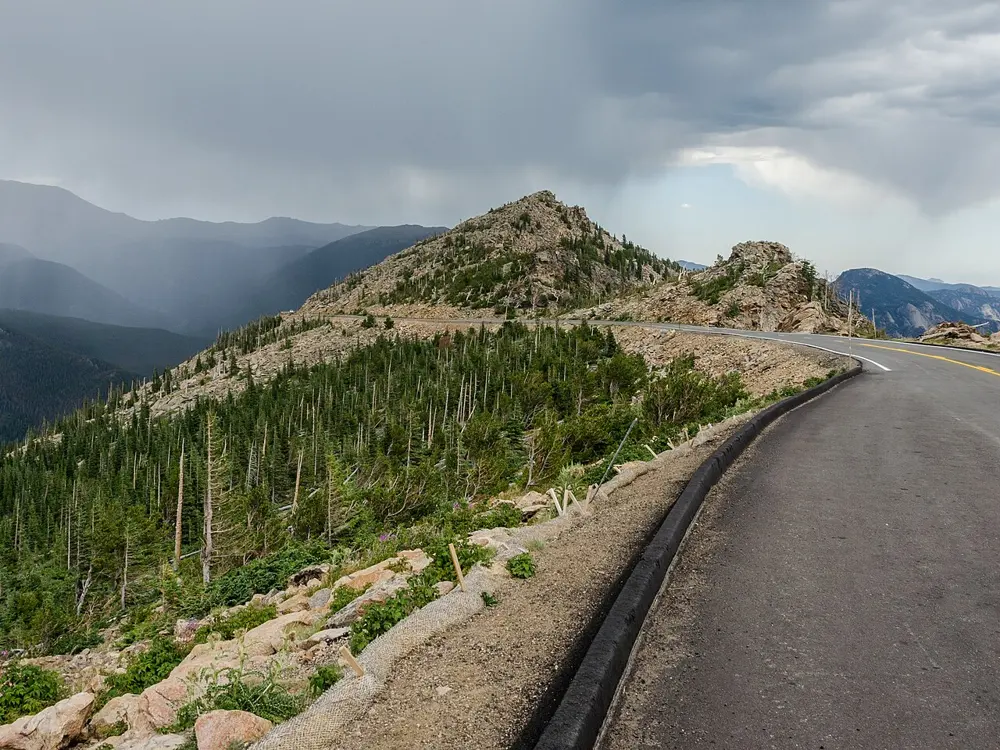
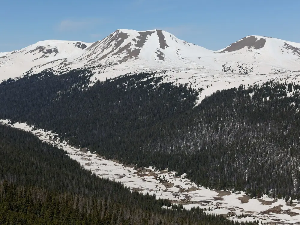
Trail Ridge Road links Estes Park and Grand Lake across Rocky Mountain National Park, and the park calls it the highest continuous paved road in the United States. About 11 miles of it run above 11,000 feet across open alpine tundra. For a road cyclist it is a long, steady climb from a mountain town to the high tundra.

The route

The classic ride starts in Estes Park and climbs 17.9 miles to the summit, gaining 4,352 feet. Past the old Hidden Valley ski area the grade settles in, the trees thin out above Rainbow Curve, and the road rolls over the tundra to its high point at 12,183 feet. The Alpine Visitor Center, at 11,796 feet, is the usual turnaround. Stronger riders go on down the west side to Grand Lake. Old Fall River Road offers a dirt alternative: a narrow 9 mile climb from Endovalley to Fall River Pass, one way uphill when it is open to cars, so riders return by Trail Ridge Road.

When to go

The road usually opens to through traffic in the last week of May and closes for the winter from mid to late October. In 2026 it opened on 29 May, and snow closed it between Rainbow Curve and Milner Pass in mid October. Start early: the park says traffic builds after 10 am and thunderstorms are common after noon.

Getting there

Estes Park is about 75 miles, or 90 minutes, from Denver International Airport, and a shuttle runs from the airport. Bikes cannot be rented inside the park and the park shuttles carry no bikes, so bring or hire one in town.

Permits and booking

Cyclists do not need a timed entry reservation. In 2026 drivers needed one between 9 am and 2 pm from 22 May to 12 October. Every rider needs an entrance pass: $15 for a day or $20 for seven days, and non-US residents aged 16 and over pay $100 more. An annual pass covers its holder and up to three more cyclists. Group rides may need a special use permit.

How hard it is

The gradient is moderate, with long stretches near 6 percent, but the altitude makes it hard, and the park advises anyone with signs of mountain sickness to turn back down. Above Rainbow Curve the road narrows and has no shoulder. Federal law requires riding single file, and in low light you need a white front light and a red rear light or reflectors.

Where to sleep

Most riders stay in Estes Park, or in Grand Lake for the west side. In the park, Moraine Park is the year-round campground and summer sites can be booked six months ahead on Recreation.gov, while Timber Creek lies about 10 miles north of Grand Lake.

Tips

  • Spend a day or two at altitude in Estes Park before the climb.
  • Pack a warm layer and a rain jacket, since the tundra is exposed and storms build quickly in the afternoon.
  • Call the road status line on (970) 586-1222 before setting out in spring or autumn.
06 / 10

Great Allegheny Passage and C&O Canal Towpath

Pennsylvania, Maryland and Washington DC, United States

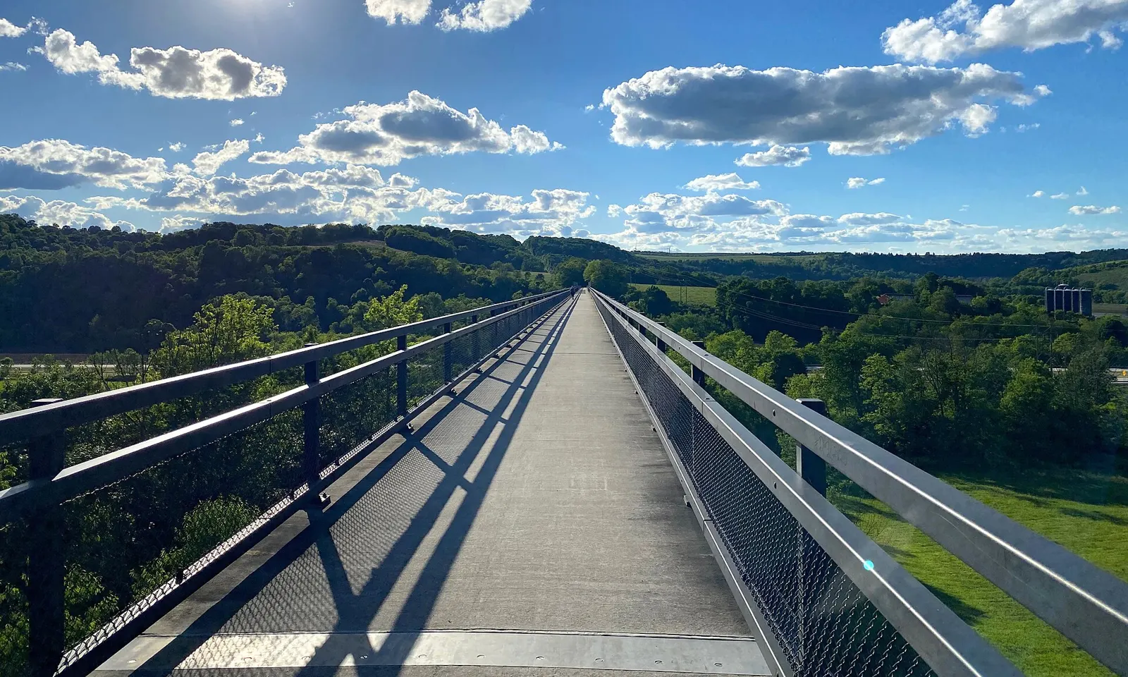
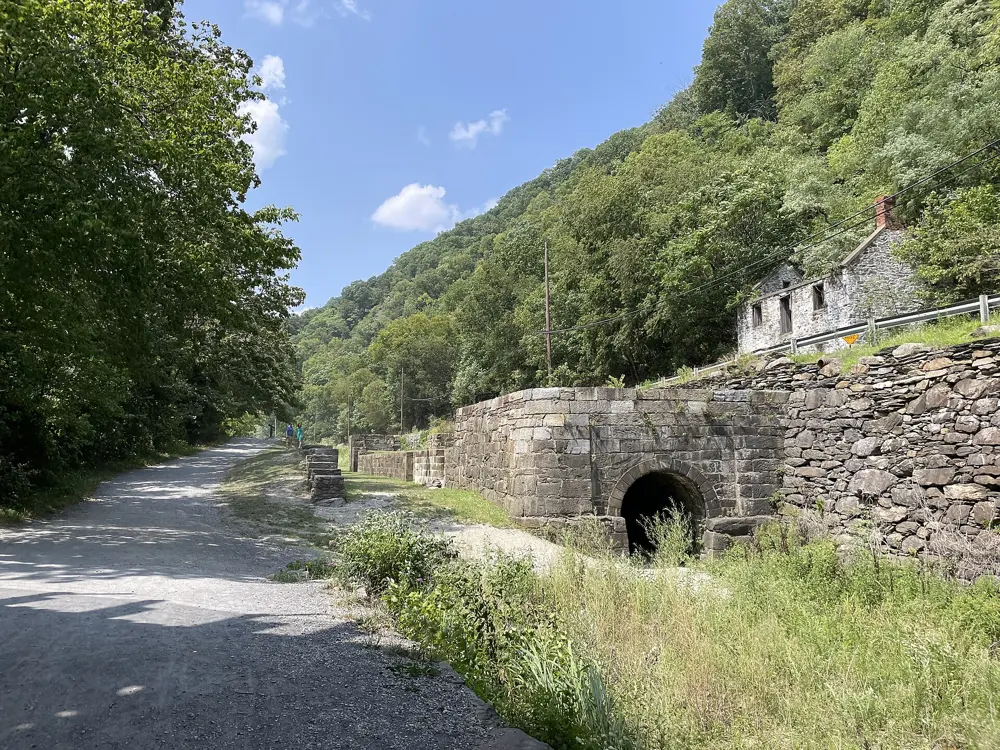
The deck of the Salisbury Viaduct on the Great Allegheny Passage stretching across green farmland under a blue sky

Photos: daveynin from United States (CC BY 2.0), daveynin from United States (CC BY 2.0), Dough4872 (CC BY-SA 4.0), Jbrown620 (CC BY-SA 3.0)

Distance
333 mi (about 536 km), Pittsburgh to Washington DC
Highest point
Eastern Continental Divide, 2,392 ft (729 m)
Surface
Crushed limestone on the GAP, packed dirt and gravel on the towpath
Big Savage Tunnel
Closed from late November to early April

Why go

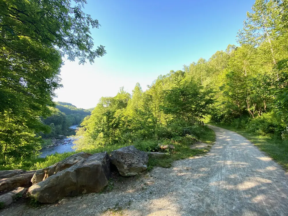
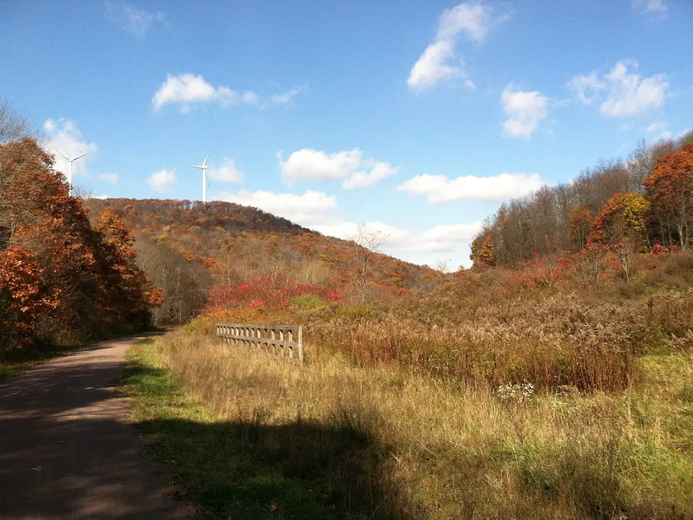
Two trails joined at Cumberland, Maryland make a car-free ride from downtown Pittsburgh to Georgetown in Washington DC. The Great Allegheny Passage follows old railroad grades through the Laurel Highlands and along the Youghiogheny and Casselman rivers, and the C&O Canal Towpath follows the Potomac past locks, lockhouses and aqueducts built in the 1830s and 1840s. Railroad engineering fills the first half and canal history the second.

The route

The GAP runs 150 miles from Point State Park in Pittsburgh to Cumberland, through trail towns no more than nine miles apart. Highlights include the Ohiopyle bridges over the Youghiogheny, the Salisbury Viaduct, which carries the trail 101 feet above the Casselman River west of Meyersdale for 1,908 feet, the 3,291 foot Big Savage Tunnel and the Eastern Continental Divide. From Cumberland the towpath runs 184.5 miles down the Potomac through the 3,118 foot Paw Paw Tunnel, past Harpers Ferry and Great Falls, to Georgetown.

When to go

Both trails are open all year from dawn to dusk, but the Big Savage Tunnel shuts from late November to early April with no easy detour, so a thru-ride fits spring to autumn. Water at campgrounds usually runs from April 15 to October 31, and parts of the towpath flood after big storms.

Getting there

Amtrak's Floridian runs one train a day each way between Washington and Pittsburgh, stopping at Harpers Ferry, Cumberland and Connellsville, and takes bikes for $20 in six reservable slots. It does not run between Pittsburgh and Washington from October 16 to 26, 2026. Shuttle services cover the gaps.

Permits and booking

No permit is needed. Cyclists 16 and over pay $10 to enter the Great Falls area of the canal park, and the rest of the towpath is free. As of 18 October 2026, the GAP between Ohiopyle and Connellsville is closed after a landslide near mile 88 on October 17 that killed one cyclist and injured another, and a two-mile section between Duquesne and Homestead is closed for rock work, with a $20 shuttle until October 31. Borden Tunnel near Frostburg is under repair until April 2027, and the towpath has detours near Dargan Bend, Dam 5 and Polly Pond.

How hard it is

The GAP climbs steadily for 23.7 miles from Cumberland to the Divide, rising 1,767 feet at about 1.5 percent, then drops 1,680 feet gently over the 125 miles to Pittsburgh. The towpath gains only 605 feet in total, but its roots, rocks and dirt make it slower and bumpier.

Where to sleep

Riders stay in bed and breakfasts, guesthouses and hotels in trail towns such as Ohiopyle, Meyersdale, Cumberland and Harpers Ferry. Free hiker-biker campgrounds line both trails, one night per site, and on the towpath you can be in the woods for nearly 30 miles between towns.

Tips

  • Check the GAP trail alerts and the canal park's conditions page the day before you set off, since closures change quickly.
  • Ride from Pittsburgh to Washington if you want the long, gentle climb before the steeper descent to Cumberland.
  • Carry a light for the Paw Paw Tunnel, where riders must walk their bikes.
07 / 10

Haleakalā

Maui, Hawaii, United States

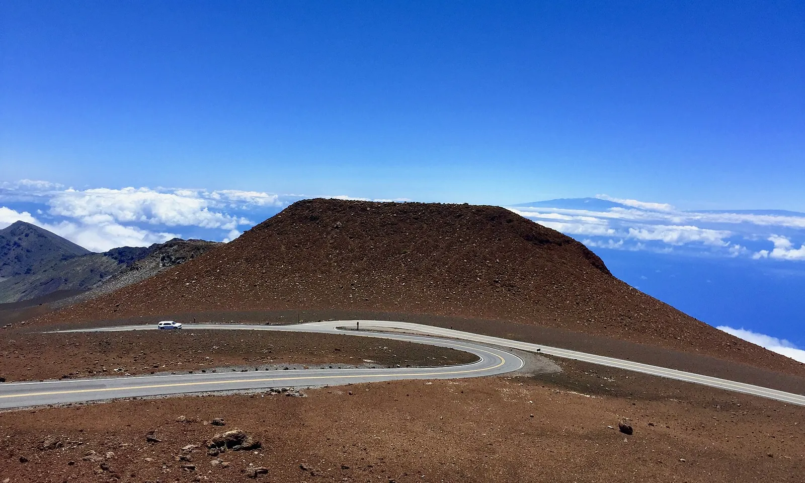
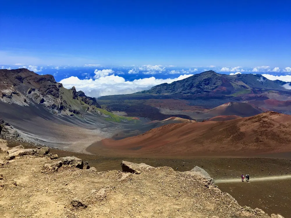
Crater Road curving round a red cinder cone near the summit of Haleakalā, with clouds and the sea far below

Photos: sightalks (CC BY-SA 4.0), Tony Webster (CC BY-SA 3.0), sightalks (CC BY-SA 4.0), Lowe, Jet (Public domain)

Distance
Paia to the summit: 36 mi (58 km)
Climbing
About 10,000 ft (3,050 m) to the 10,023 ft (3,055 m) summit
Steepest
Up to 18%
Park entry
$15 per cyclist, valid 3 days

Why go

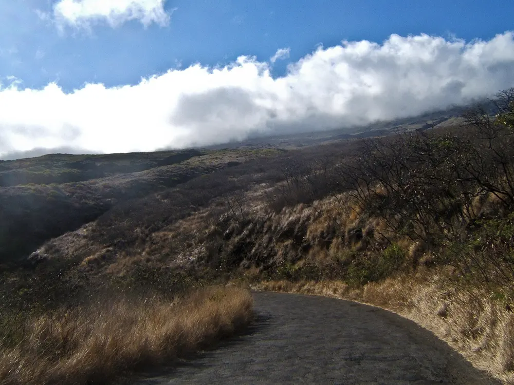
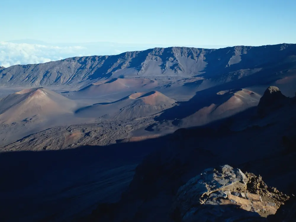
Haleakalā is the volcano that makes up most of east Maui, and the road up it is billed as the longest paved climb on the planet. You start beside the sea in Paia and finish above the clouds at the summit of a national park, looking down into a crater of red and grey cinder cones.

The route

The classic ride follows the Cycle to the Sun race: 36 miles from sea level in Paia to the summit, about 10,000 feet of climbing in one go. It runs up Baldwin Avenue to Makawao, on through the upcountry to Haleakalā Highway, then up the switchbacks of Crater Road to the Sliding Sands trailhead near the top. Starting in Makawao saves about 1,700 feet. Most riders take five to six hours up and 60 to 90 minutes down.

When to go

The summit road is open at all hours all year. Up top it runs from below freezing to highs of 50 to 65°F (10 to 18°C), about 30°F colder than the coast, and rain, mist and high wind are common at any time of day. Start around 7 a.m. to beat the heat and traffic lower down.

Getting there

Kahului Airport is Maui's main airport, with nonstop flights from many West Coast cities. Paia lies a short way east along the north shore. There is no public transport to the summit, so arrange a lift down in case the weather turns.

Permits and booking

Cyclists pay the $15 per person entrance fee, valid for 3 days, by card at the entrance station, or show a park pass with ID. Vehicles entering between 3 and 7 a.m. need a $1 sunrise reservation booked ahead on Recreation.gov; the park's pages are written for cars, so ask the park if you plan to ride in then. Commercial downhill tours may not launch bicycles inside the park, and Maui County limits them to Crater Road between mile markers 3.0 and 9.5, from sunrise to sundown, in groups of up to 10 riders. Riding on your own is allowed.

How hard it is

This is a long, unbroken climb with stretches steep enough to slow riders to walking pace, and gradients reach 18%. There is no bike path: you share a narrow, winding road with cars and buses, and in places the shoulder is narrow or missing. The park warns that cyclists often become hypothermic, especially on the descent, at any time of year.

Where to sleep

Most riders stay in Paia, at the foot of the climb, or around Kahului. Inside the park, Hosmer Grove campground sits at nearly 7,000 feet with six sites at $20 a night, booked on Recreation.gov.

Tips

  • Carry a waterproof layer and warm gloves for the descent, even on a hot morning at the coast.
  • Water and restrooms are open all hours at the visitor centers at 7,000 ft and 9,740 ft.
  • Check the park's crater webcam before you set off, since the summit can be in cloud when the coast is clear.
08 / 10

Acadia Carriage Roads and Park Loop Road

Acadia National Park, Maine

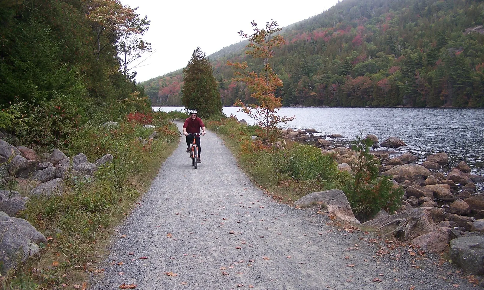
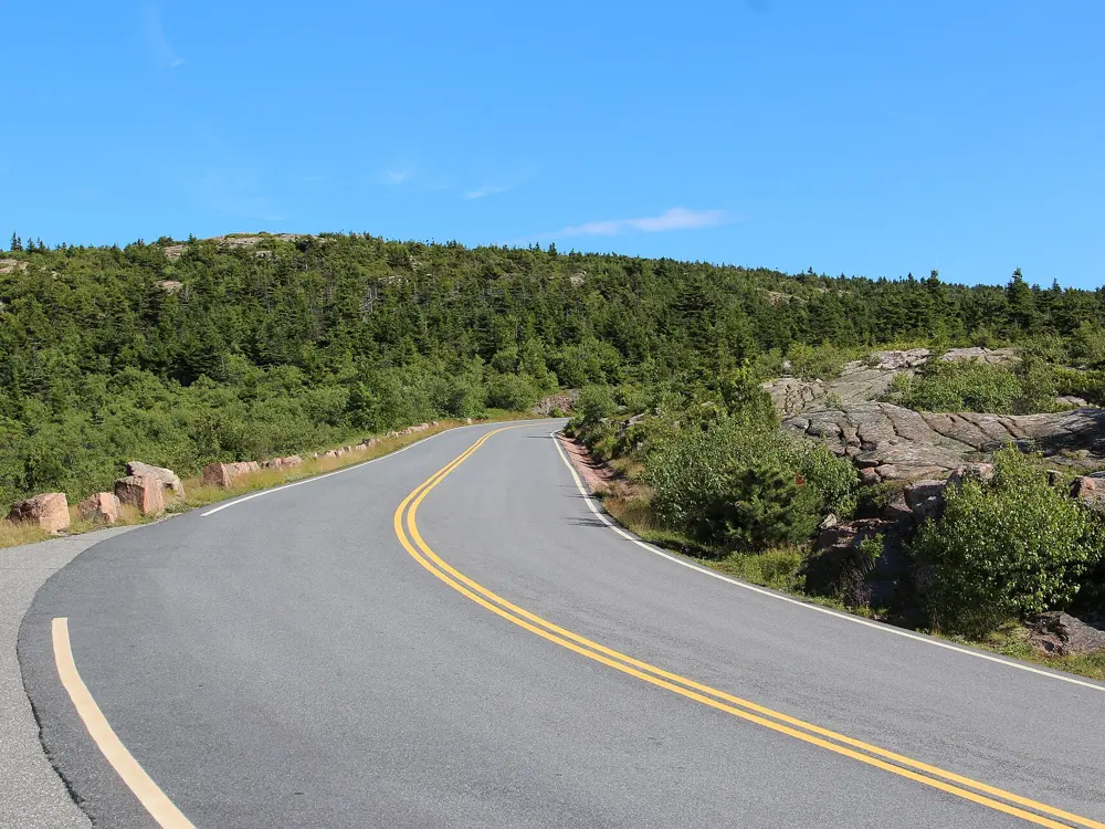
A cyclist on a carriage road beside a lake in Acadia National Park, with a wooded mountain behind

Photos: Unknown authorUnknown author or not provided (Public domain), Victoria Stauffenberg (Public domain), Thomson M (CC BY 3.0), Ken Lund (CC BY-SA 2.0)

Distance
Eagle Lake Loop: 5.9 mi (9.5 km)
Carriage roads
45 mi (72 km), closed to cars
Highest point
Cadillac Mountain, 1,530 ft (466 m)
Entrance fee
$20 per cyclist for 7 days

Why go

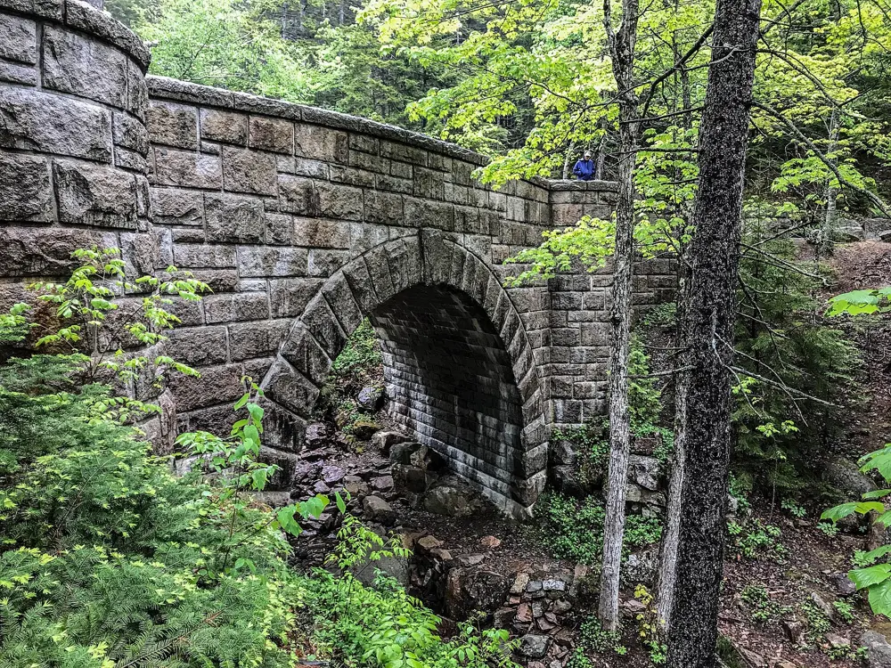
John D. Rockefeller Jr. and his family built a network of broken-stone roads on Mount Desert Island between 1913 and 1940 and gave it to the park. Cars have never been allowed on them, so you ride past lakes and through spruce woods on a firm gravel surface about 16 feet wide, crossing stone-faced bridges over streams and waterfalls. Road riders get the Park Loop Road and the climb up Cadillac Mountain.

The route

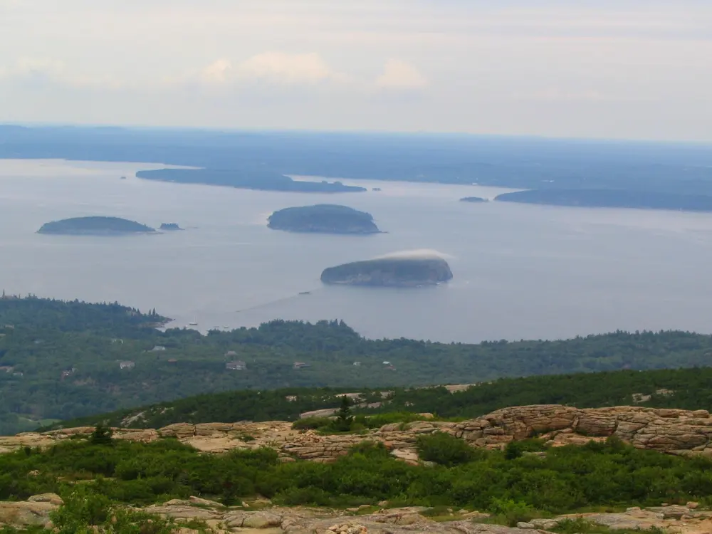
The Eagle Lake Loop circles the whole lake in 5.9 miles, with a real climb and descent on its western and southern sides. The Jordan Pond Loop runs 8.6 miles past Jordan Pond and Bubble Pond, and the Tri-Lakes Loop joins the two for 10.9 miles. On pavement, the Park Loop Road runs 27 miles from Hulls Cove Visitor Center past Sieur de Monts, Sand Beach, Otter Point and Jordan Pond. The Cadillac Summit Road climbs about three and a half miles without a single descent to the 1,530 foot summit, the highest peak on the eastern seaboard.

When to go

In 2026 the Park Loop Road is open to cars from 15 April to 1 December, and outside those dates bikes may use the sections closed to vehicles. The carriage roads stay open all year, but often close in mud season, usually March and April. Summer and autumn are crowded, and the fare-free Island Explorer buses run from mid-June to mid-October.

Getting there

Hancock County Airport, with direct flights from Boston, is about 10 miles from the park, and Bangor International is about an hour away. By road, follow Route 3 through Ellsworth onto Mount Desert Island. In season, the Island Explorer's Bicycle Express carries bikes from downtown Bar Harbor to the Eagle Lake carriage road entrance on Route 233.

Permits and booking

Every cyclist 16 or older needs a park entrance pass, $20 for seven days, and non-US residents also pay a $100 fee unless they hold an annual pass. The Cadillac Summit Road vehicle reservation, required from 20 May to 25 October 2026, does not apply to bikes. On the carriage roads the speed limit is 20 mph, only Class 1 e-bikes are allowed, and cyclists give way to horses and walkers.

How hard it is

The carriage roads suit most riders, though some loops have long, steady hills. The Park Loop Road has no shoulder, and parked cars often fill the right lane, so you must ride around them. The park advises avoiding it between about 10 am and 4 pm. The summit road is steep and can be dangerous on the way down.

Where to sleep

Most riders stay in Bar Harbor, close to the carriage road entrances and the Bicycle Express. The park's Blackwoods campground is open from 1 May to 19 October 2026, and Seawall from 20 May to 12 October.

Tips

  • Ride Cadillac at dawn or in the evening, when there are fewer cars on the summit road.
  • Carry the carriage road map, since junctions are numbered and loops are described by those numbers.
  • Keep your entrance pass with you or on your parked car, because you must be able to show it.
09 / 10

Bentonville and Northwest Arkansas

Northwest Arkansas

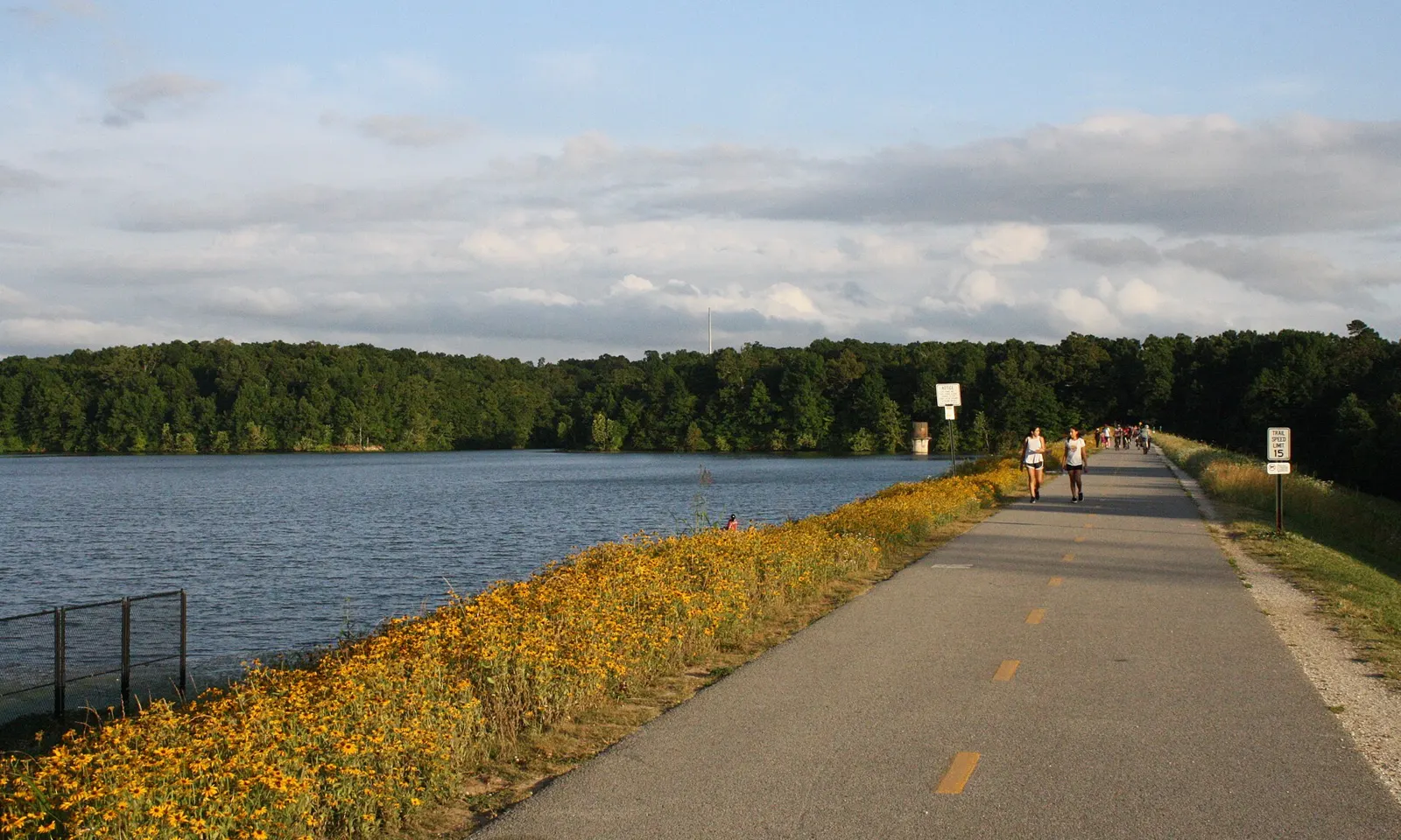
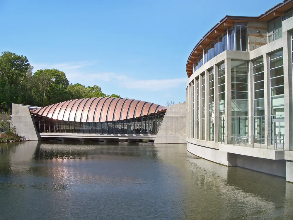
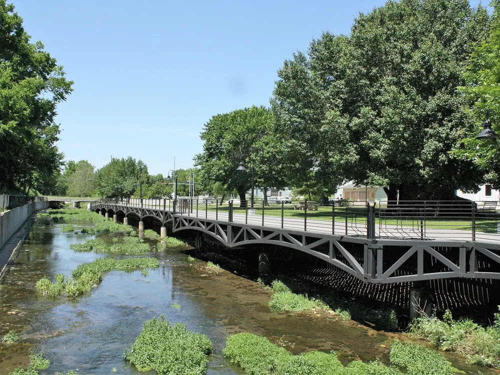
The paved Razorback Regional Greenway along Lake Fayetteville, lined with yellow wildflowers

Photos: Brandonrush (CC0), Brandonrush (CC BY-SA 4.0), Charvex (CC0), Brandonrush (CC0)

Distance
Razorback Regional Greenway: 40 mi (64 km) end to end
Back 40
Nearly 40 mi (about 64 km) of trail
Coler Preserve
About 300 acres, free entry
Season
Spring and autumn

Why go

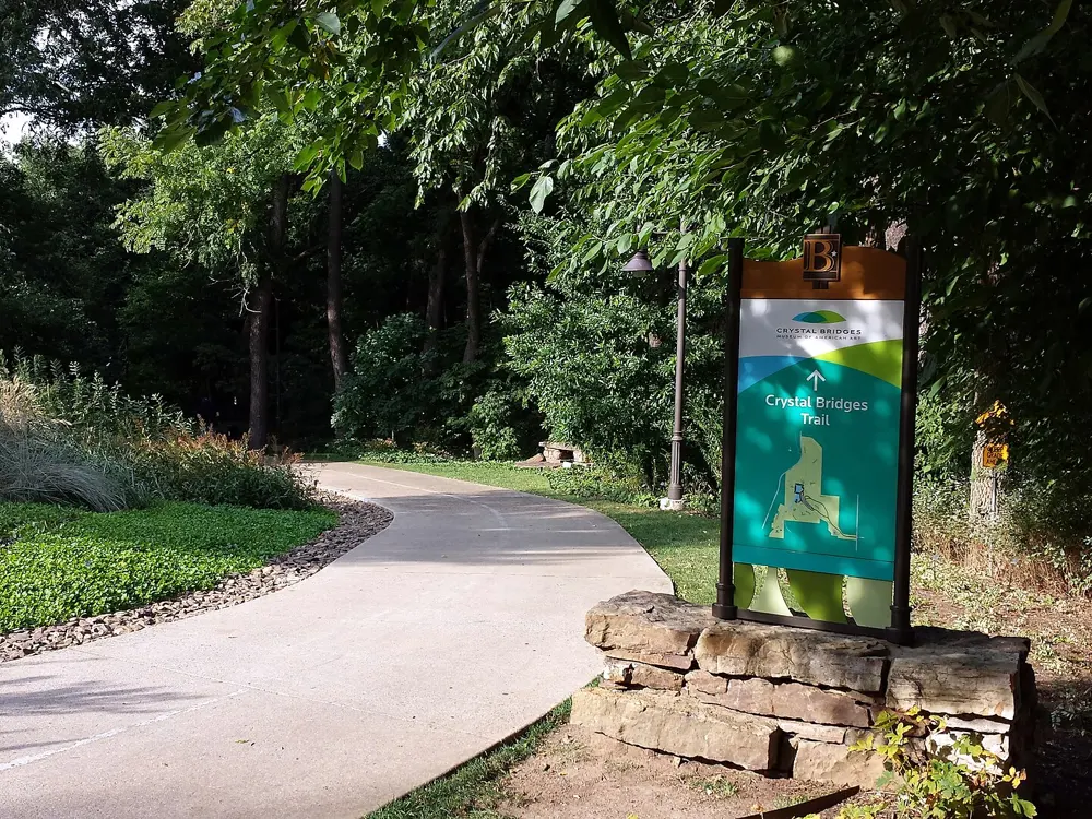
Few towns have built themselves around the bicycle as completely as Bentonville. Singletrack starts about a block from the town square, runs past the Crystal Bridges Museum of American Art and links into a web of trails across the Ozark hills of Northwest Arkansas, which the regional OZ Trails network puts at about 500 miles. You can ride from your hotel to the dirt, then follow a greenway between towns the same afternoon.

The route

Slaughter Pen, on the north edge of downtown, is the original system, with easy trails such as Seed Tick Shuffle alongside expert lines like Medusa and Scott Allen Alley. A five minute ride west, the Coler Mountain Bike Preserve has more than 17 miles of purpose-built trail, including dual slalom and a raised hub from which three downhill runs drop away. North in Bella Vista, the Back 40 has nearly 40 miles of trail, and its outer loop of about 22 miles is usually ridden clockwise from the Blowing Springs trailhead. To see the region at an easier pace, the Razorback Regional Greenway runs 40 miles from Bella Vista to Kessler Mountain in Fayetteville, mostly away from roads, passing Crystal Bridges, downtown Bentonville, Spring Creek in Springdale and the shore of Lake Fayetteville.

When to go

Spring and autumn give the best riding. October highs average about 68°F (20°C) and November's sit in the mid to upper 50s, with the woods in colour. July and August are hot and humid, so ride early. Winters are mild enough to keep riding on quieter trails.

Getting there

Northwest Arkansas National Airport is about 12 miles by road from downtown Bentonville. Once in town you can leave the car, since trailheads sit close to the square.

Permits and booking

No permit is needed to ride. Coler is free and open from sunrise to 11 pm, and it allows Class 1 e-bikes. A 2,500 foot section of the Greenway in north Bentonville, on the Wishing Springs Trail, has been closed since floods damaged the Red Iron Bridge in April 2022; new bridges were due by October 2026, so check before you ride it. The detour uses a protected shoulder on Highway 71.

How hard it is

Each of the three big systems has trails for every level, from beginner loops to black lines with drops, berms and rock gardens. Coler closes for a short time after rain to protect the trails, while Slaughter Pen and the Back 40 usually stay open. The Greenway is a shared-use path, so expect walkers.

Where to sleep

Most riders stay in downtown Bentonville, where several hotels let you keep your bike in the room and offer wash stations and tools. Coler has a small campground of 22 sites, with raised tent platforms, camper van pads, showers and a bike wash, open all year.

Tips

  • Check whether Coler is open after a storm, and head to Slaughter Pen or the Back 40 if it is not.
  • Ride the Back 40 loop clockwise for its best descents.
  • Rent a bike in town if you are flying in, as several shops in Bentonville, Bella Vista and Rogers hire them out.
10 / 10

Katy Trail

Katy Trail State Park, Missouri, United States

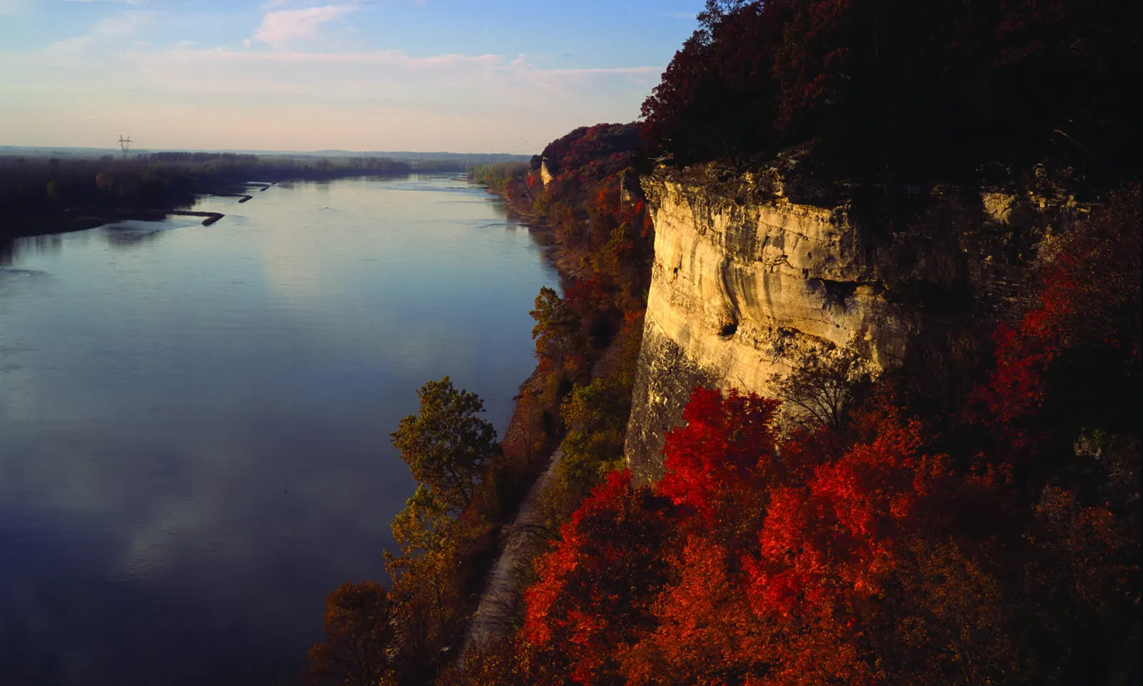
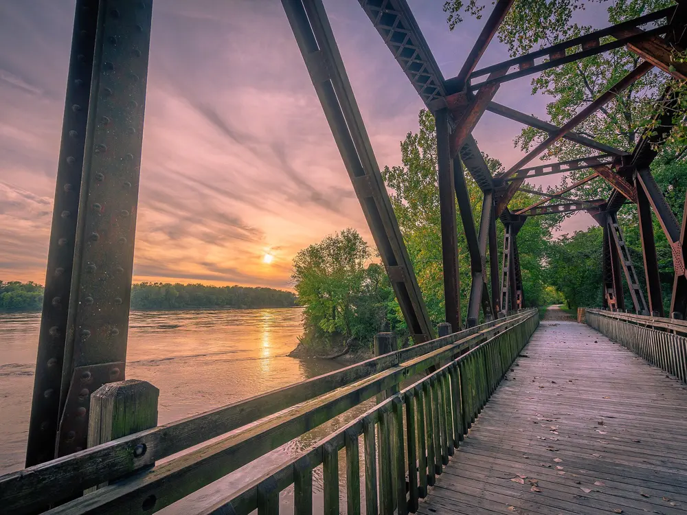
Limestone bluffs in autumn colour above the Missouri River at Katy Trail State Park

Photos: mostateparks (Public domain), mostateparks (Public domain), Heath Cajandig (CC BY 2.0), Heath Cajandig (CC BY 2.0)

Distance
240 mi (about 386 km), Clinton to Machens
Surface
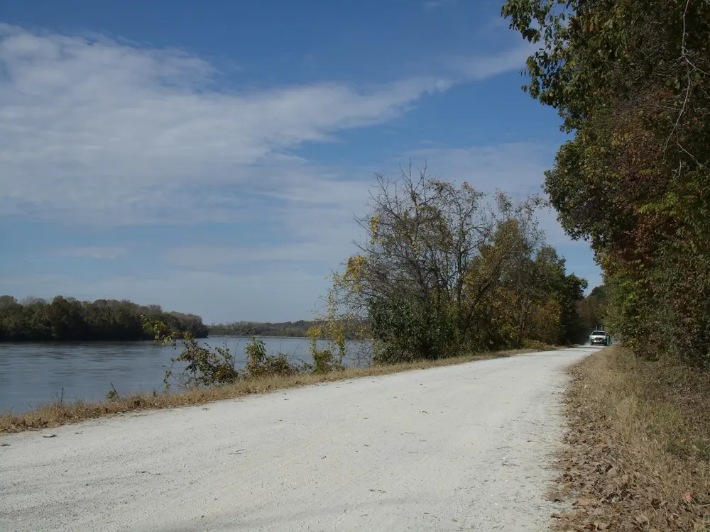
Crushed limestone, nearly flat
Trailheads
26, with four restored depots
Entry fee
None

Why go

The Katy Trail follows the old Missouri-Kansas-Texas Railroad most of the way across Missouri, and it is often called the longest continuous rail trail in the country. For much of its length it runs along the north bank of the Missouri River, under limestone bluffs and through river bottoms, farm towns and wine country.

The route

The full trail runs from Clinton in the west to Machens, just beyond St. Charles, in the east. The classic way to ride it is end to end over several days, staying in the towns along the line. The best-loved stretch lies between Boonville and Jefferson City, where the trail hugs the river below the bluffs and passes through the 243 foot stone-arched tunnel at Rocheport, the only tunnel ever built on the line, around 1893. At McBaine a spur, the MKT Trail, leads into Columbia. Further east the trail passes Hermann, across the river, and the wineries above Augusta and Defiance before it reaches St. Charles. From Windsor the Rock Island Trail branches off for 47 miles towards Pleasant Hill.

When to go

The trail is open every day from sunrise to sunset. Spring and autumn are the most comfortable seasons, and October brings the leaves on the bluffs. From November through March water is turned off and restrooms are closed at several trailheads, so carry what you need. Low sections near the river close when the Missouri floods, most often in spring.

Getting there

St. Charles, at the eastern end, is on the edge of the St. Louis area, and Kansas City is the nearest city to Clinton. Amtrak's Missouri River Runner between St. Louis and Kansas City stops at Sedalia, Jefferson City, Hermann and Washington, close to the trail and carries bicycles.

Permits and booking

No permit is needed and there is no fee to use the trail or park at trailheads. Electric-assist bikes are allowed up to 20 mph, while other motor vehicles are not. Horses share the trail only between Clinton and Sedalia and between Tebbetts and Portland. No 2026 closures were posted when this was written, but check the Missouri State Parks status map before you go.

How hard it is

Riding here is easy in effort, with almost no change in height from one end to the other, so the challenge is distance rather than gradient. The crushed limestone can be soft after rain, a wider tyre helps, and washouts can appear after storms.

Where to sleep

Missouri State Parks runs no campgrounds on the trail itself, but city parks, conservation areas and private campgrounds near the trail take tents. Most riders stay in bed and breakfasts and small inns in towns such as Rocheport, Hermann and Augusta, which fill on autumn weekends.

Tips

  • Check the trail conditions page after heavy rain, since river flooding can close sections for days.
  • Ride from west to east if you can, as riders often report a following wind.

Sources

Distances, heights, seasons and permit rules were checked against these pages. Rules change, so check the park or trail authority before you go.