Rungs Labs

Rungs Pilgrimage · Cycling · South Africa

The 10 Best Places to Cycle in South Africa

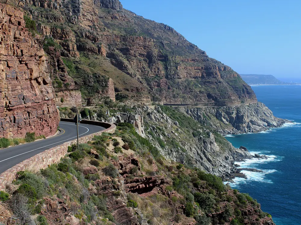
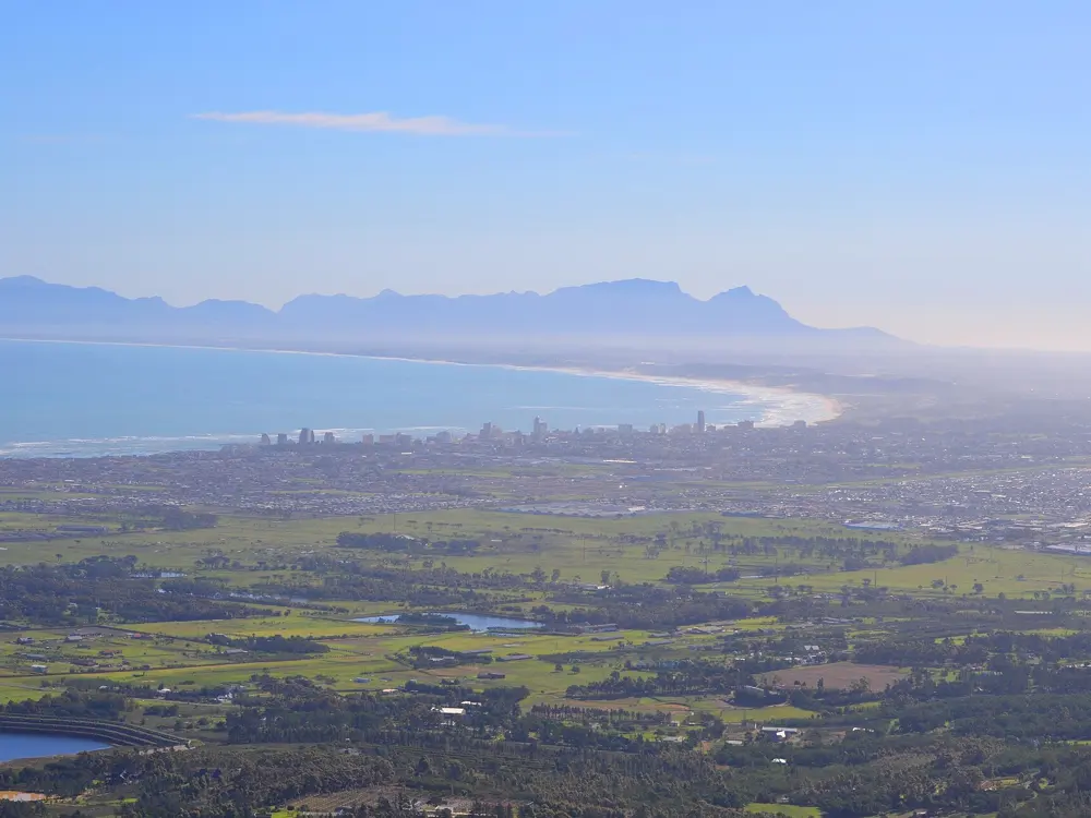
The Cape Peninsula, Cape Town, Western Cape. Photo: kallerna (CC BY-SA 4.0)

South Africa has the Cape Town Cycle Tour, billed as the world's largest individually timed cycle race, some of the best known mountain bike trails anywhere in the Winelands, and gravel passes built by hand in the nineteenth century. These ten take in the Cape Peninsula, Stellenbosch and Franschhoek, the Elgin Valley, the Swartberg in the Karoo, the Knysna forest, Sani Pass and Karkloof in KwaZulu-Natal, the road from Pietermaritzburg to Durban, Sabie in Mpumalanga and the roads around Johannesburg.

Floods in 2026 closed several roads and reserves, including the Baviaanskloof and parts of the Cederberg, so we left those out and give the current state of every place we kept. For each you get the classic rides, the best season, how to get there, permits and closures, how hard it is and where riders stay. Every fact comes from park authorities, race organisers, route guides and the other pages linked at the bottom.

Updated 2026-10-19

  1. 01The Cape PeninsulaCape Town, Western Cape
  2. 02Stellenbosch, Jonkershoek and the Franschhoek PassCape Winelands, Western Cape
  3. 03The Swartberg PassPrince Albert and Oudtshoorn, Western Cape
  4. 04Sani PassSouthern Drakensberg, KwaZulu-Natal
  5. 05KarkloofHowick, KwaZulu-Natal Midlands
  6. 06The Knysna Forest: Harkerville and DiepwalleGarden Route National Park, Western Cape
  7. 07Sabie and the Long Tom PassMpumalanga
  8. 08The Elgin Valley and Wines2WhalesGrabouw and Elgin, Western Cape
  9. 09Johannesburg, the Cradle of Humankind and the MagaliesbergGauteng
  10. 10The Valley of a Thousand Hills and the AmashovaPietermaritzburg to Durban, KwaZulu-Natal
01 / 10

The Cape Peninsula

Cape Town, Western Cape
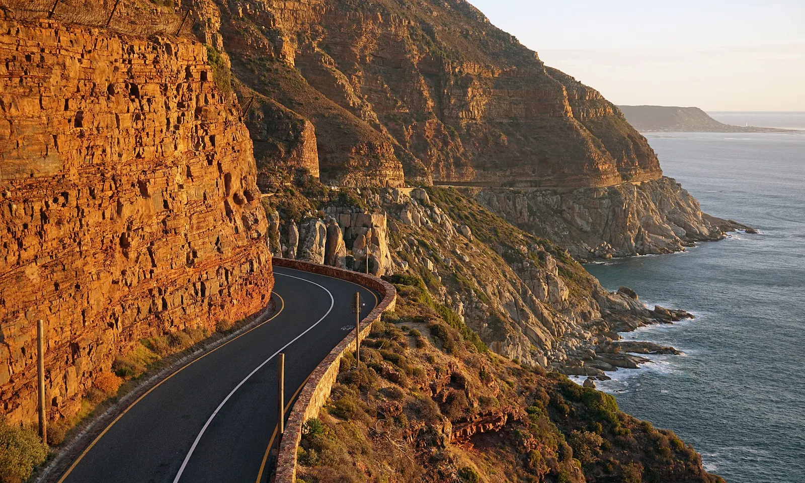
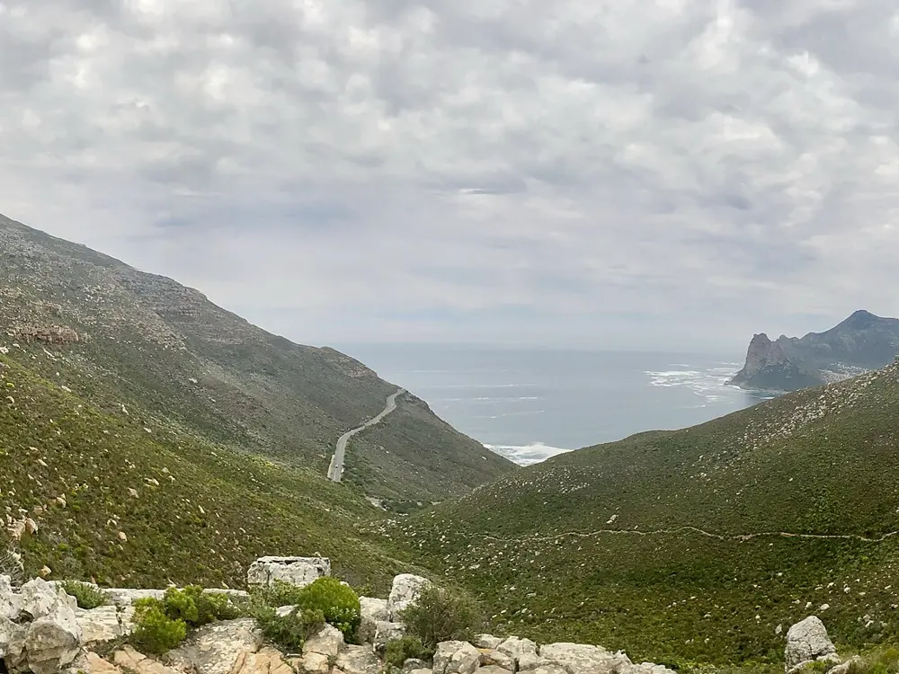
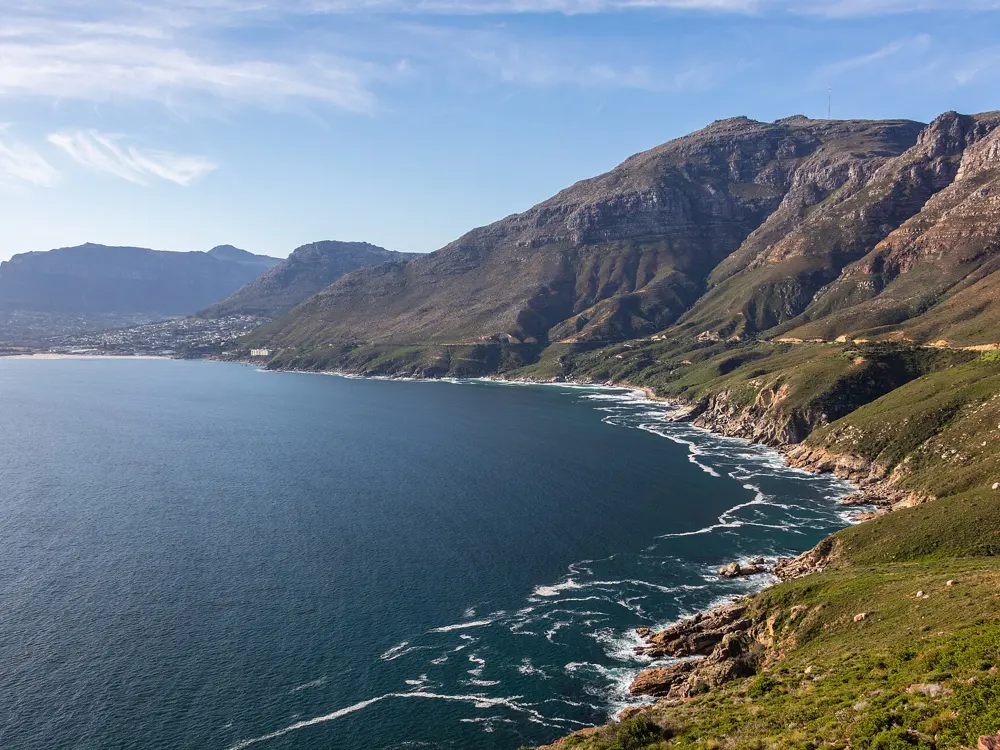
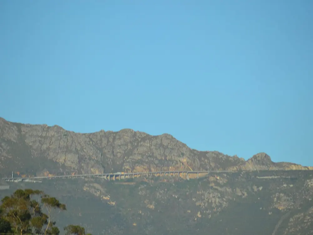
Chapman's Peak Drive curving under orange sandstone cliffs above the Atlantic

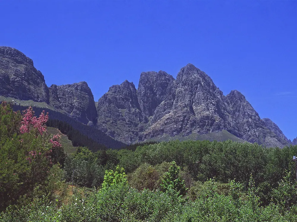
Photos: kallerna (CC BY-SA 4.0), Martinvl (CC BY-SA 4.0), TapticInfo (CC BY-SA 4.0), Diego Delso (CC BY-SA 4.0)

Distance
109 km Cycle Tour loop
Climbing
About 1,200 m
Next Cycle Tour
14 March 2027
Season
Year round; driest December to March

Why go

Few cities let you ride out of the centre and round a whole mountain range by lunch. The Cape Peninsula loop runs along the warm False Bay shore and back up the cold Atlantic side, with Table Mountain in view most of the day. It is the course of the Cape Town Cycle Tour, first run in 1978 and billed as the world's largest individually timed cycle race.

The route

The classic is the Cycle Tour loop: south from the city to Muizenberg, then through Fish Hoek and Simon's Town to the long drag up Smitswinkel, beside the Cape Point reserve gate. The road turns north through Scarborough and Kommetjie to Chapman's Peak Drive, a 9 km cliff road with 114 curves built between 1915 and 1922. After Hout Bay comes Suikerbossie, about 1.5 km of climbing, then a fast run through Camps Bay to Green Point. Ou Kaapse Weg crosses between the coasts, topping out at 315 m, and a road inside the reserve leads to Cape Point itself.

When to go

Summer, from December to March, is warm and dry, while winter brings cold fronts and most of the year's rain. The southeaster, known locally as the Cape Doctor, blows hard and often from September to March, so ride early in summer. The 2027 Cycle Tour is on Sunday 14 March, and roads around the peninsula close that day.

Getting there

Fly into Cape Town and ride from the city or the Atlantic suburbs, where the loop starts at your door. Bike shops in town rent road bikes.

Permits and booking

Public roads need no permit. Chapman's Peak Drive is a toll road, but its tariff lists no class for bicycles. Its rules bar cycling after dark and riding in groups, so go single file. It closes in high wind, heavy rain and after rockfall; a rockfall shut it on 24 April 2026, and its status page showed it closed again on 19 October 2026, so check before you set out. Entry to the Cape of Good Hope section of Table Mountain National Park costs R110 for South African adults and R515 for international adults until 31 October 2026, and SANParks has published a new fee table from 1 November 2026. Riders also need a SANParks cycling permit, which a Wild Card does not cover.

How hard it is

The full loop is a long day, but no climb is severe: Ou Kaapse Weg from the Noordhoek side runs 6.9 km at an average of 4.6 percent. Wind is the real test, and Ou Kaapse Weg carries heavy traffic.

Where to sleep

Most riders stay in the city, Sea Point or Green Point near the Cycle Tour finish. Hout Bay, Muizenberg and Simon's Town put you on the loop itself, and SANParks rents a few cottages inside the Cape Point reserve.

Tips

  • In summer, start early, before the southeaster builds on the Atlantic side.
  • Check Chapman's Peak Drive's road status on the morning of your ride.
  • Reach the Cape Point gate within its hours: 6am to 6pm from October to March, 7am to 5pm from April to September.
02 / 10

Stellenbosch, Jonkershoek and the Franschhoek Pass

Cape Winelands, Western Cape

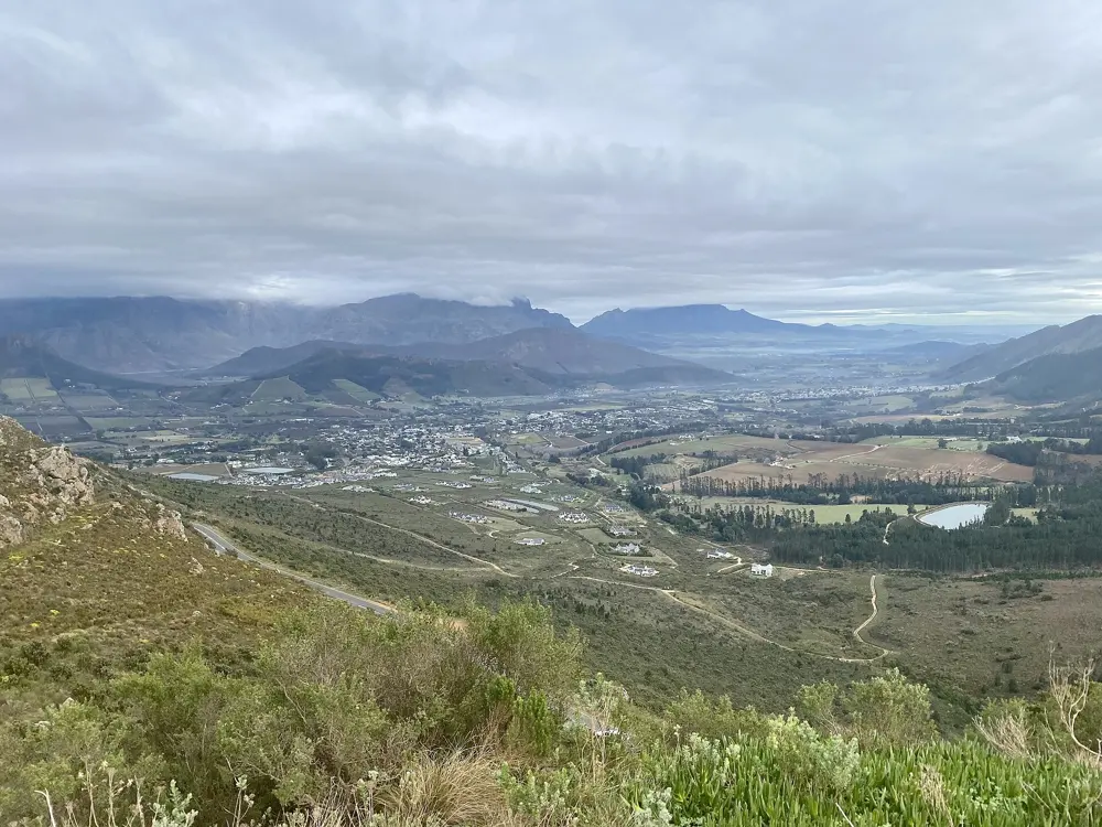
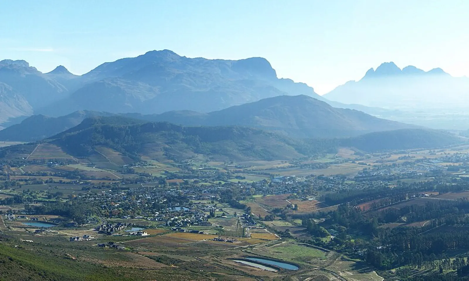
The Franschhoek valley and its vineyards seen from the pass, with mountain ranges behind

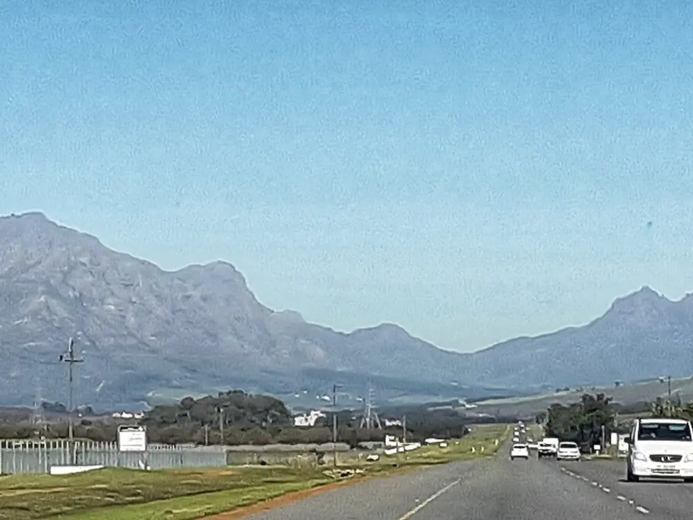
Photos: Andres de Wet (CC BY-SA 3.0), KodachromeFan (CC BY-SA 3.0), TapticInfo (CC BY-SA 4.0), Khanya Ntantiso Arosi (CC BY-SA 4.0)

Distance
Franschhoek Pass from Franschhoek: 15.5 km
Trail network
More than 700 km on the Trail Fund's regional board
Bottelary Hills
Just under 100 km of trails
Season
December to early April

Why go

Stellenbosch, just under 30 km east of Cape Town, is the centre of Cape mountain biking. The Stellenbosch Trail Fund looks after trails on the edge of town and sells a regional board that opens more than 700 km of riding from Jonkershoek to Franschhoek, Paarl, the Helderberg and the Elgin Valley. Road riders get the same mountains: Helshoogte Pass to Franschhoek, then the Franschhoek Pass over to the Theewaterskloof Dam.

The route

Jonkershoek is the best known network, with trails such as Canary, Firehut, Neverending Story, Zululand, the Armageddon descent and the infamous Irish Climb. On the edge of town the G-Spot, a flow trail built by Mark Gordon, makes a loop of about nine kilometres, and the longest Trail Fund cross-country loop runs 30 km with almost 1,000 m of climbing. West of town the Bottelary Hills Conservancy has just under 100 km of jeep track and singletrack. Over Helshoogte, Boschendal's trails climb Big Bunny and come down Porcupine and Inferno, and Franschhoek has trails above the Berg River Dam. On the road, the Franschhoek Pass climbs 15.5 km from the town at 3.7 percent to about 733 m; from the far side it is 7.2 km at 5.4 percent. Bicycle South suggests riding over to the T-junction at the dam and back, about 50 km.

When to go

A 2018 BIKE magazine guide recommends December to early April, best from the end of February, when rain is rare and days average around 20 degrees, with 30 at midday. A race report puts the 2027 Cape Epic at 21 to 28 March, starting at Lourensford in Somerset West.

Getting there

Fly into Cape Town. Stellenbosch is just under 30 km to the east, and Boschendal and Franschhoek are a short way on over Helshoogte Pass.

Permits and booking

Each network sells its own permit. CapeNature says mountain biking at Jonkershoek is on land run by MTO Forestry, costs extra, and that its hiking permits do not cover it; buy a bike day permit at the gate. Jonkershoek admits visitors from 7:00 to 16:00 from September to April and from 8:00 in winter, and everyone must be out by 18:00. CapeNature's page says circular route parking closed on 23 March 2026, but also lists 20 cars allowed, so check. Bottelary permits are sold at trail access points, Boschendal's at its Trail Centre and Franschhoek's at the tourism office. We found no current prices.

How hard it is

Trails are graded from family routes to black, and the Jonkershoek trails drop between 180 and 500 m. The Franschhoek Pass is gentle, with its steepest 100 m at 8.6 percent, but it is busy with cars and motorcycles at weekends and wind is often the hardest part.

Where to sleep

Wesgro's mountain bike itinerary stays at the Eendracht Hotel on Dorp Street in Stellenbosch, the Devon Valley Hotel near Bottelary, and Betha's Retreat cottages at Boschendal.

Tips

  • Buy each network's permit before you ride; a CapeNature hiking permit does not let you ride at Jonkershoek.
  • Ride the Franschhoek Pass early on a weekday to miss the traffic.
  • Wesgro suggests lunch at the Ride In CafĂ© after a morning at Jonkershoek.
03 / 10

The Swartberg Pass

Prince Albert and Oudtshoorn, Western Cape

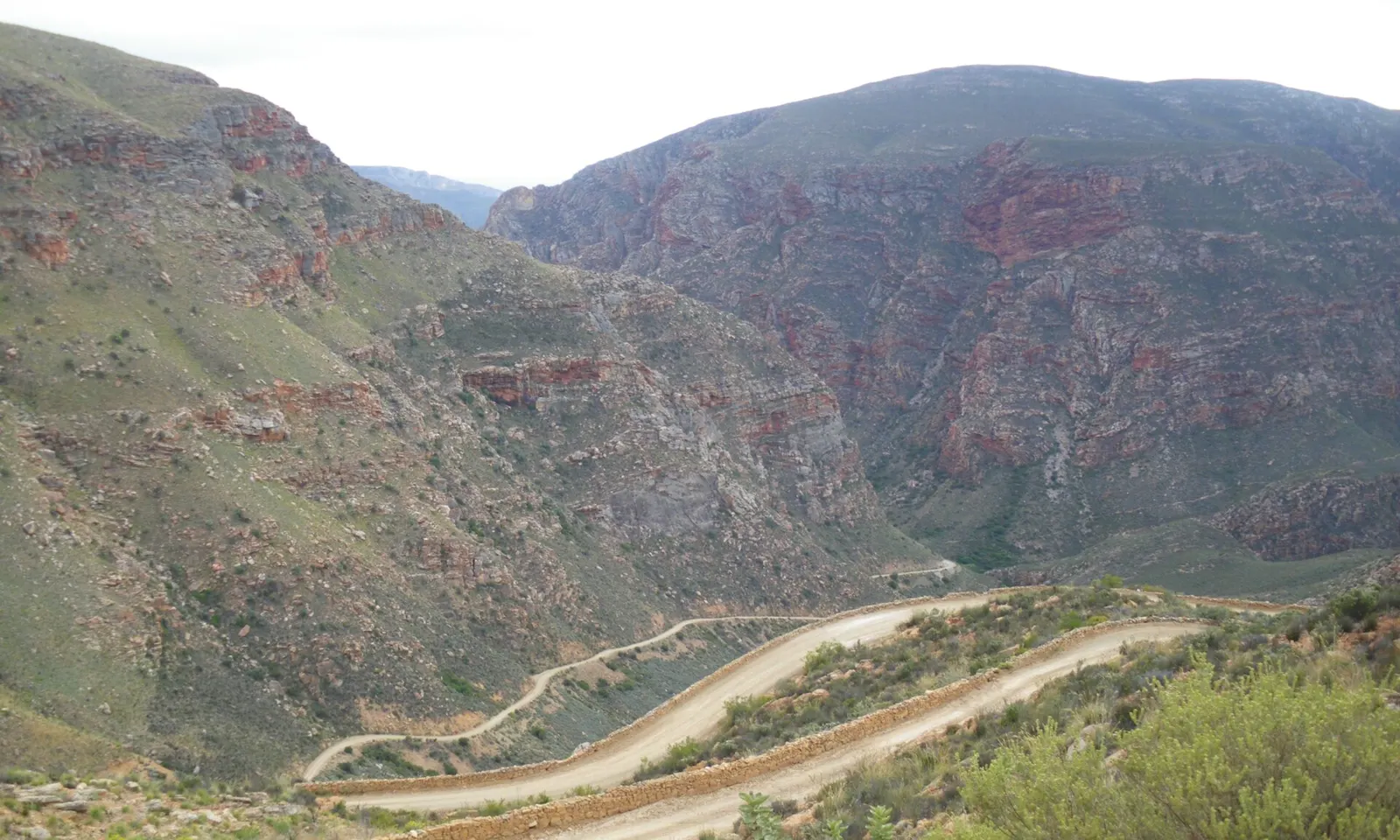
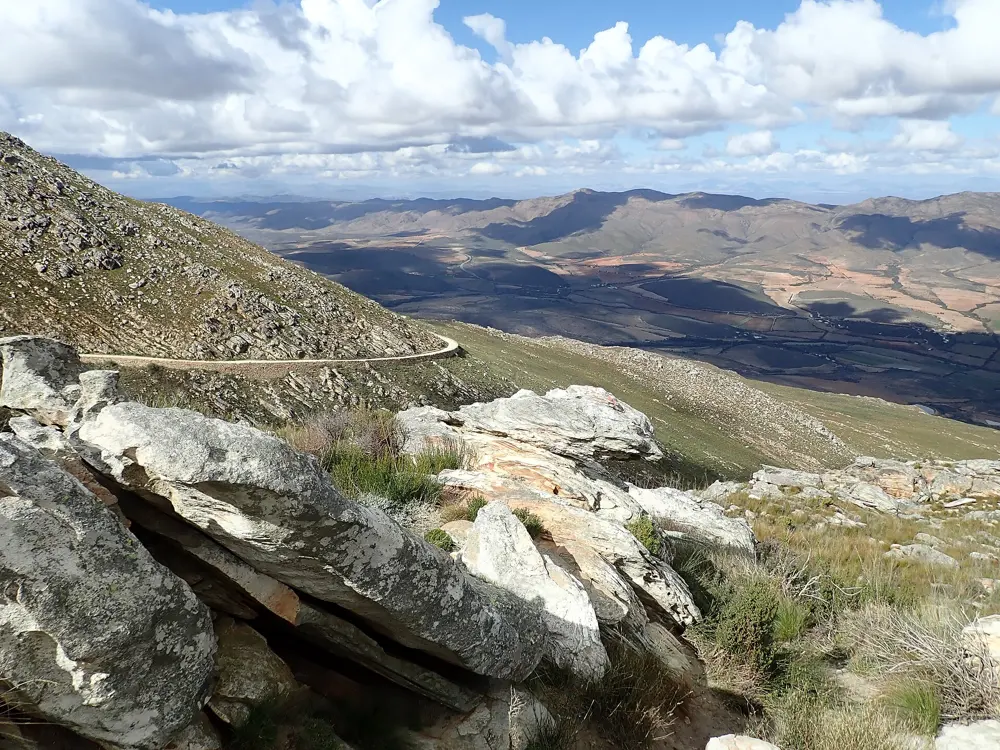
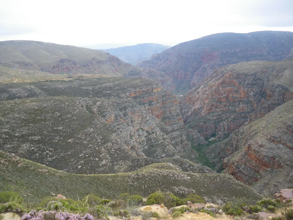
The gravel Swartberg Pass road winding through a deep valley of folded red and grey rock

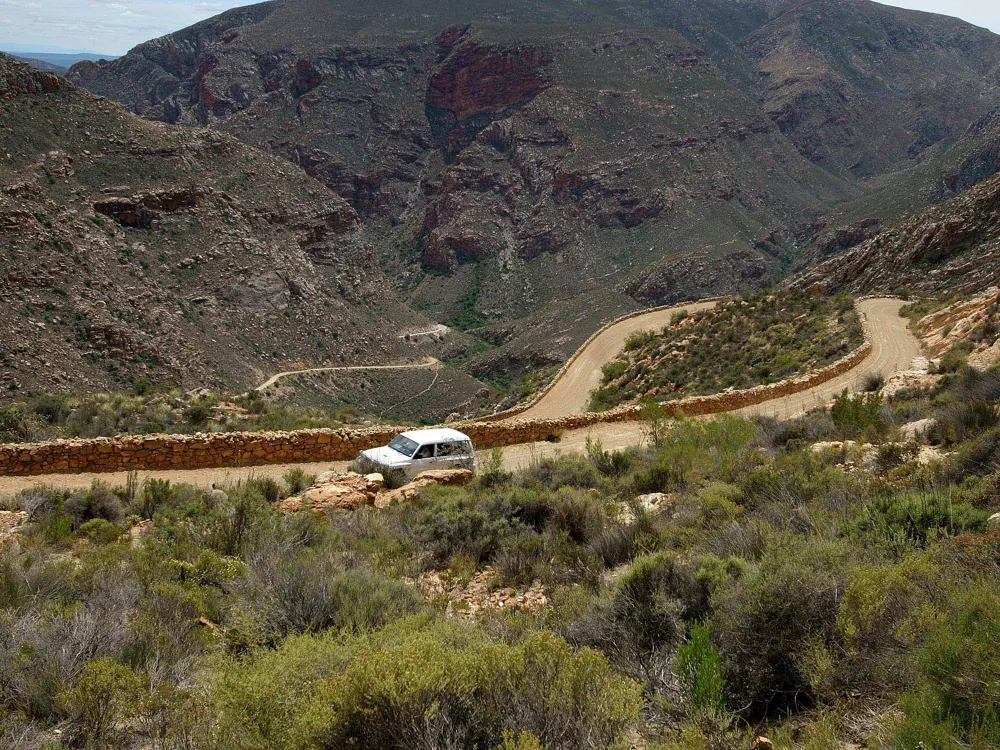
Photos: Vberger (Public domain), South African Tourism from South Africa (CC BY 2.0), Andrawaag (CC0), Vberger (Public domain)

Distance
14.9 km climb from the Prince Albert side
Climb
921 m at 6.2% average
Summit
About 1,575 m
Surface
Gravel, built 1883 to 1888

Why go

Thomas Bain's road over the Swartberg is the great gravel climb of South Africa. Built with convict labour and opened on 10 January 1888, it is still unpaved, and its dry-stone walls and hairpins carry you through quartzite cliffs folded almost to vertical. It is the closing climb of the Swartberg 100, a 170 km gravel gran fondo from Prince Albert in the UCI Gravel World Series.

The route

From Prince Albert, Climbfinder measures the climb at 14.9 km with 921 m of ascent. From the Cango Caves side in the south it is 17.7 km with 938 m. A guide to the whole pass gives 23.8 km between its feet, passing the Blikstasie ruins about 4.5 km from the northern start and the Teeberg viewpoint at 1,394 m about 9 km in, with retaining walls up to 13 m high at Mullers Kloof. A side road leads from the pass down into Gamkaskloof, Die Hel, a ride CapeNature lists for cyclists. For a longer trip, Bicycle South describes a four day, 319 km loop from Calitzdorp through Seweweekspoort and the Karoo to Prince Albert and back over the pass, with 5,127 m of climbing.

When to go

Bicycle South recommends the cooler months of spring and autumn, since days can be very hot and nights cold. Floods closed the pass in May 2026, and the Western Cape government reopened it in June after emergency works, with restoration still going on. Meiringspoort, the usual return road for a loop through De Rust, was badly damaged: a temporary route was expected by December 2026, with permanent repairs taking at least two years.

Getting there

The pass is the R328 between Oudtshoorn in the south and Prince Albert, a Karoo town at the foot of the mountains. The Swartberg 100 starts in Prince Albert at 630 m.

Permits and booking

No permit is needed for the pass, a provincial road. Heavy vehicles and caravans are barred, the speed limit is 40 to 60 km/h, and posted length and mass limits apply on both approaches. Check provincial road notices for closures after rain.

How hard it is

The road is gravel with rough patches, and the steepest 100 m from the Prince Albert side is 14.7 percent; the Swartberg 100 organisers mention 16 percent in places. Wikipedia warns the surface can be treacherous after rain. Shops, water and mobile signal are scarce away from the towns.

Where to sleep

Prince Albert and Calitzdorp have the shops and restaurants. On the loop, Bicycle South camped at Calitzdorp Station and Ons Karoo Plaas, and found water at the CapeNature huts near the top of the pass.

Tips

  • Carry plenty of water and food; the author of the loop rode in winter and found most streams dry.
  • Take a printed map, as mobile reception is unreliable.
  • Ride wide tyres and descend with care on the loose hairpins.
04 / 10

Sani Pass

Southern Drakensberg, KwaZulu-Natal

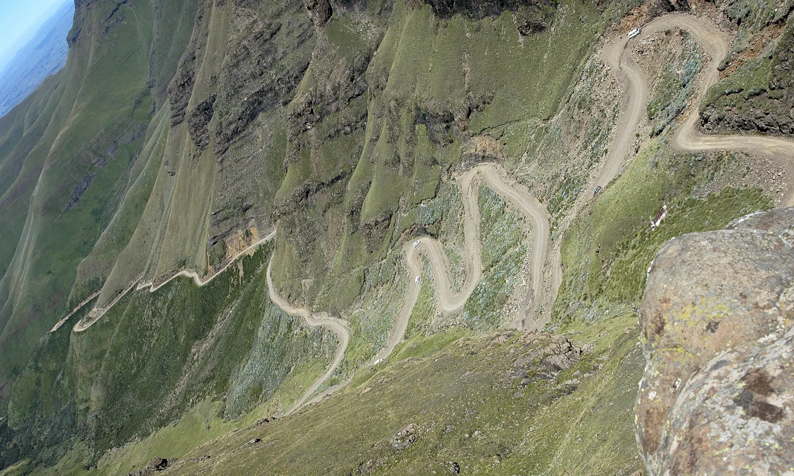
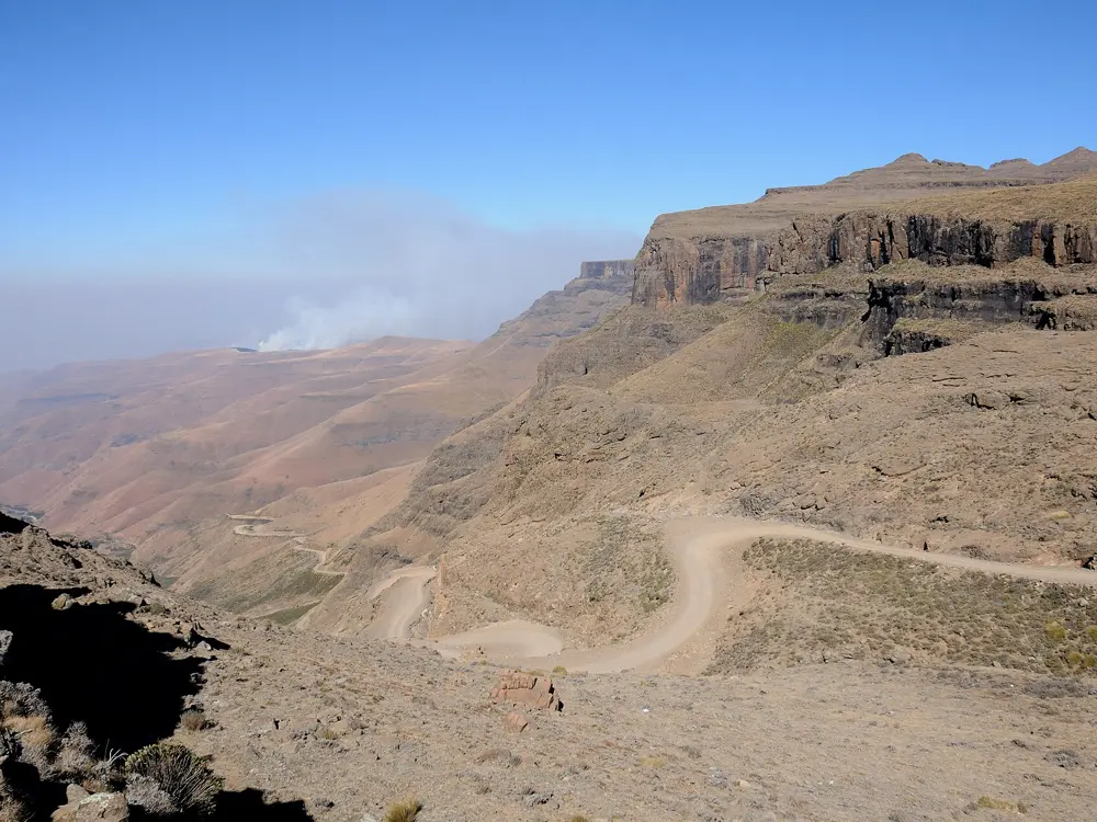
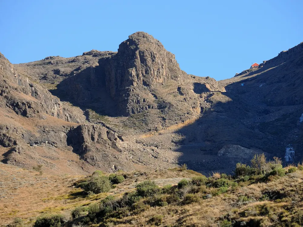
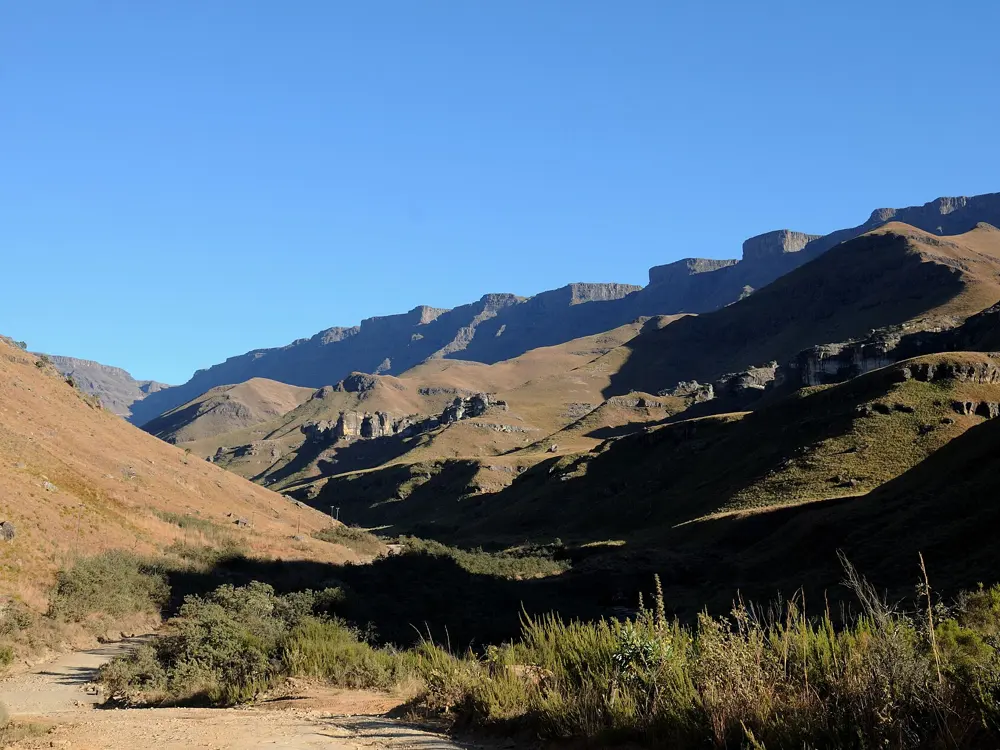
The gravel switchbacks of Sani Pass zigzagging up a steep green escarpment

Photos: Amada44 (Public domain), Josep M. Gracia (CC BY-SA 4.0), Josep M. Gracia (CC BY-SA 4.0), Josep M. Gracia (CC BY-SA 4.0)

Distance
20.4 km climb
Climb
1,336 m at 6.6% average
Summit
About 2,875 m, at the Lesotho border
Border hours
6:00 to 18:00

Why go

Sani Pass is the road up the Drakensberg escarpment into Lesotho. The pass lies wholly in South Africa, with the Lesotho border post on the summit plateau. It began as a bridle track for pack animals in 1922, carried jeeps between Himeville and Mokhotlong from 1949, and still feels remote. At the top, Sani Mountain Lodge serves what it calls the highest pub in Africa.

The route

Climbfinder measures the climb at 20.4 km with 1,336 m of ascent to 2,874 m. Bicycle South starts the ride at Sani Lodge Backpackers and counts 24 km and 1,465 m, with the last 2 km the steepest. Wikipedia gives about 9 km between the two border posts, where the road zigzags up the final wall. Strong riders can carry on across the plateau for about 10 km, or over Black Mountain Pass to 3,200 m. Bicycle South reckons an average rider takes about 5 hours to climb and less than an hour to come down.

When to go

Avoid winter: the pass often closes in bad weather, especially then, and heavy snow shut it on 4 and 5 June 2026. Bicycle South warns that the weather can turn from sunny to freezing in minutes, whatever the season.

Getting there

The climb starts in the foothills below the escarpment, where Sani Lodge Backpackers offers safe parking at the start of Bicycle South's route.

Permits and booking

You cross an international border, so carry your passport and check Lesotho's visa rules for your nationality. Both border posts open at 6:00 and close at 18:00. South Africa generally lets only 4x4 vehicles on the upper road. There is no cycling permit, but check for weather closures before you go.

How hard it is

The lower road has been tarred in phases since 2006, but the climb itself is gravel with rough sections, and the steepest 100 m reaches 18.2 percent by Climbfinder's measure. Expect loaded 4x4 vehicles on the narrow switchbacks, and thin air near the top.

Where to sleep

Sani Lodge Backpackers sits at the foot of the climb, and Sani Mountain Lodge at the top of the pass.

Tips

  • Start early so you clear both border posts well before they close at 18:00.
  • Pack warm and waterproof layers even on a clear morning.
  • Watch for heavily loaded 4x4s on the hairpins and give them room.
05 / 10

Karkloof

Howick, KwaZulu-Natal Midlands

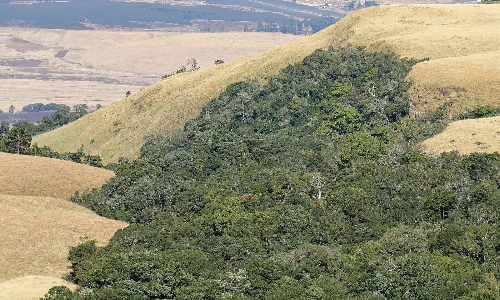
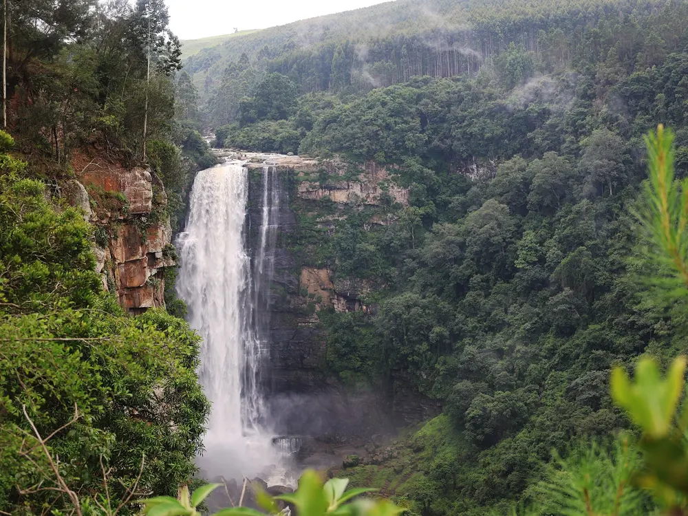
Indigenous mistbelt forest on the slopes of the Karkloof range, surrounded by grassland

Photos: Alandmanson (CC BY 4.0), flowcomm (CC BY 2.0), Stevan.Karalic (CC BY 3.0), flowcomm (CC BY 2.0)

Distance
60 km Sappi Karkloof Classic
Trail network
More than 250 km
Day fee
R100 adults (2025 price list)
From Durban
Just over an hour

Why go

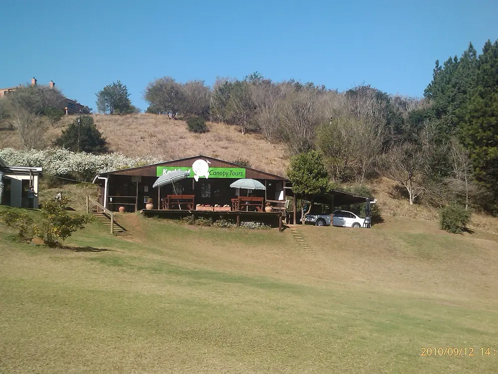
The trails of the Karkloof Country Club run through pine, gum and indigenous mistbelt forest above Howick, and they have hosted the country's longest running mountain bike festival, the Sappi Karkloof Classic, for years. The club counts more than 250 km of trails, with set routes for every level of rider, and it is the heart of mountain biking in the KwaZulu-Natal Midlands.

The route

Every route starts and finishes at the club. Trailforks lists eight marked loops of 3, 15, 20, 23, 30, 37, 42 and 55 km, with many more kilometres of forest road and singletrack beyond them. The festival's 60 km Classic is the flagship ride; in 2024 the weekend of 25 and 26 May also held the 85 km South African marathon championship, and earlier editions offered 10 to 40 km rides as well. For the 2023 edition the organisers took out Colby's Crunch and Rockward's Angel to cut long gravel sections.

When to go

The Midlands get their rain in summer: nearby Pietermaritzburg averages 155 mm in January and 2 mm in July. Winter, roughly May to September, is dry with cold mornings near 3 degrees, and the festival has run in May. We found no date for the next edition.

Getting there

The club is on the P526 Karkloof Road, outside Howick. Bicycle South puts it just over an hour from Durban and about five hours from Johannesburg.

Permits and booking

Pay the day fee and sign an indemnity to get a bike board before you ride; the club says you may not start riding and fetch a permit later. Its 1 July to 31 December 2025 prices were R100 for adults, R40 for seniors and riders aged 7 to 21, and free for children 6 and under. Permits are sold at the trail centre, at Callan's Bike Tech in Hilton and at Dove House Organic in Howick. Park only at the club: parking on trail land, verges or depots is treated as trespass.

How hard it is

There are routes for all skill and fitness levels, from short family loops to the 55 km circuit.

Where to sleep

The club sits in the Midlands Meander, a farm and village route with accommodation for every budget. The club has showers, a bike wash and secure parking.

Tips

  • Buy your board before you leave town if you are starting early, at Hilton or Howick.
  • Ride in the morning in summer, before the afternoon storms.
06 / 10

The Knysna Forest: Harkerville and Diepwalle

Garden Route National Park, Western Cape

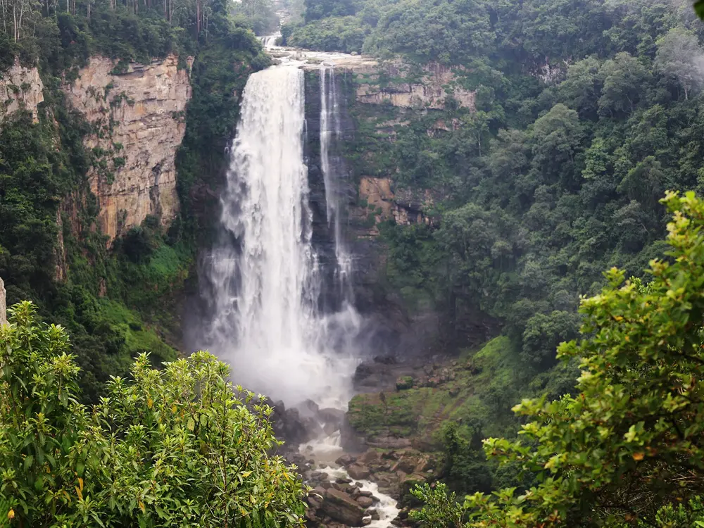
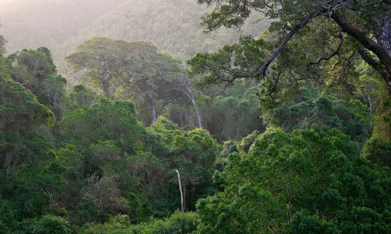
Tall trees of the Knysna forest filling a misty valley

Photos: Androstachys (Public domain), South African Tourism from South Africa (CC BY 2.0), Bellatjie (CC BY-SA 4.0), South African Tourism from South Africa (CC BY 2.0)

Distance
Red Route: 22 km
Harkerville loops
11 to 22 km
Petrus-se-Brand
22.4 km one way
Status
Closed after the May 2026 storms; check before you go

Why go

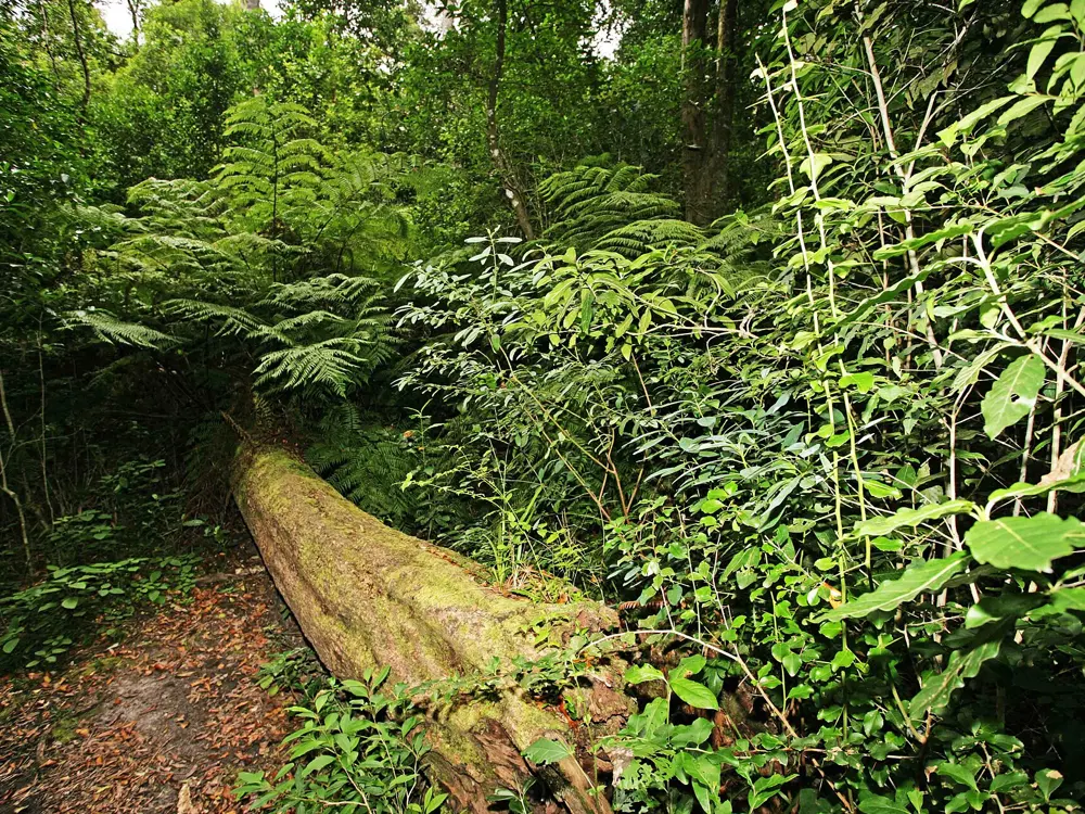
The Harkerville trails in the Knysna forest are among the best known mountain bike routes in South Africa, run by SANParks through tall indigenous forest, fynbos and along the coastal cliffs. Temperate rainforest covers the hills north of Knysna for about 20 km, and Knysna stays green in every season.

The route

Harkerville has four colour-coded loops from the Garden of Eden. Yellow, 13 km, keeps to gravel forest roads. Blue, 11 km, adds the Beukespad slip path through moist high forest. Green, 14 km, takes in singletrack on the Perdekoppad, a swimming hole at the Waterpad and an optional coastal loop. Red, 22 km and 3 to 5 hours, has more than 10 km of singletrack through forest and fynbos with sea views. Petrus-se-Brand runs 22.4 km one way between the Diepwalle forest station and the Garden of Eden, and Homtini, west of Knysna, is a 19 km anticlockwise loop rated moderate to hard.

When to go

Rain falls in every month, most in October and November. The trails close when the ground is wet, leaving only the yellow route open.
Getting there

The Garden of Eden car park is about 14 km from Knysna towards Plettenberg Bay, with the trails across the N2. Knysna is about 60 km east of George and 33 km west of Plettenberg Bay.

Permits and booking

You need a SANParks permit, daily or an annual tag, sold at the Thesen Island office in Knysna or the Garden of Eden; buy Homtini permits at Goudveld and Petrus-se-Brand at Diepwalle. After severe storms SANParks closed all hiking and cycling trails in the Knysna section on 7 May 2026, and on 11 May it said all tourism activities at Harkerville were suspended. Later updates spoke of access problems and debris clearing at Diepwalle and Harkerville, and we found no reopening notice, so call the Garden of Eden office before you travel.

How hard it is

The Garden Route Adventure Guide rates the loops moderate to hard overall, catering for beginners to advanced riders. Some sections are shared with hikers and signposted.

Where to sleep

Knysna and Plettenberg Bay, on either side of the forest, are the bases, each with an airport nearby.

Tips

  • Stream water in the forest is drinkable, though dark from tannins.
  • Phone SANParks before you drive out, since wet-weather and storm closures are common.
07 / 10

Sabie and the Long Tom Pass

Mpumalanga

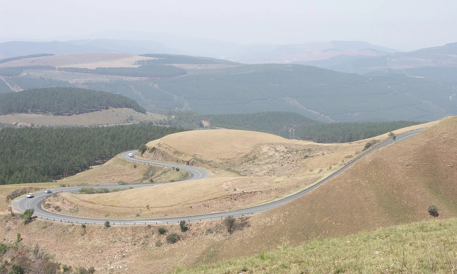
The R37 road curving down the grassy slopes of the Long Tom Pass, with plantations beyond

Photos: NJR ZA (CC BY-SA 3.0), Michaelphillipr (CC BY-SA 4.0), NJR ZA (CC BY-SA 3.0), A G (CC BY-SA 2.0)

Distance
112 km Lydenburg to Sabie and back
Climbing
2,642 m
Summit
2,150 m
Sabie
About 1,066 m above sea level

Why go

The Long Tom Pass on the R37 between Lydenburg and Sabie is, in the words of BiCYCLING magazine, a pilgrimage for anyone who wants to be called a cyclist in Mpumalanga. It tops out at 2,150 m, and its name comes from the Boer Long Tom guns, whose last use in the Second Boer War is marked by a monument on the pass. Below it, Sabie sits among plantations described as one of the largest man-made forests in the world, with waterfalls and forest trails for mountain bikers.

The route

The classic road ride starts at LongTom Cycle and Sport in Lydenburg and goes over the pass to Sabie and back: 112 km with 2,642 m of climbing. The Long Tom monument is about 21 km from Sabie. The Sabie Tour, billed in a 2020 listing as the toughest tour on tar in the country, strings the area's passes into 360 km over three days with about 6,600 m of climbing, over Spitskop, Pilgrim's Rest, Bonnet, Long Tom, Robbers and Mac Mac. Off road, Mountain Forecast maps 133 trails totalling 391 km in the SAFCOL forestry around Sabie, and the Noon to Moon relay races laps of a 7.5 km singletrack course. Lone Creek Falls is about 10 km outside town.

When to go

BiCYCLING praises the mild weather and the altitude, all above 1,500 m, for training. The pass is prone to heavy mist, so pick a clear morning.

Getting there

Sabie is about 360 km east of Johannesburg and 64 km west of the Kruger National Park.

Permits and booking

No permit is needed for the road. The forestry trails are on SAFCOL land, and we found no published permit rule, so ask a local bike shop or your lodging before riding them.

How hard it is

It is a long day with sustained climbing both ways. On the descent slow trucks crawl at about 20 km/h while bikes can reach 90, so watch the gap. Wikipedia warns that mist can make the pass dangerous in low visibility.

Where to sleep

The Sabie Tour starts from the Merry Pebbles Resort in Sabie, which has a campsite, and the Noon to Moon starts at Castle Rock campsite. Lydenburg, at the other end of the pass, is the base for the road ride.

Tips

  • Stop at Petena Pancakes in Sabie, open since 1988, and refill at the Engen garage nearby.
  • BiCYCLING reckons two bottles are enough for the 60 km return leg; carry a third on very hot days.
  • Use lights if mist comes down on the pass.
08 / 10

The Elgin Valley and Wines2Whales

Grabouw and Elgin, Western Cape

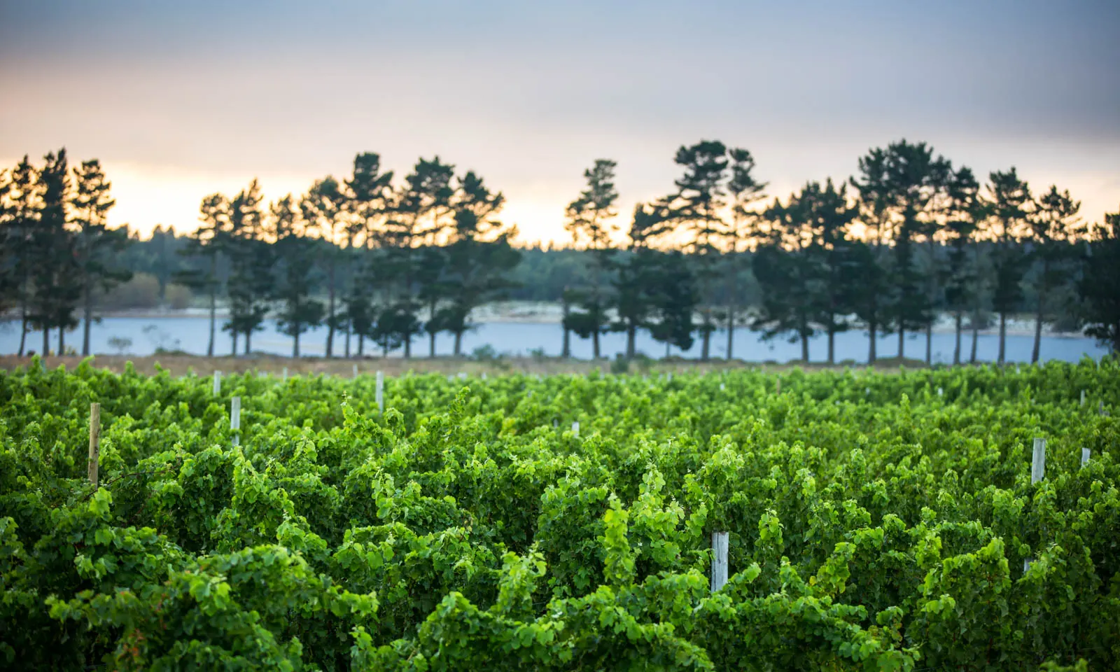
Rows of green vines in the Elgin Valley with a line of pines and a dam behind

Photos: Danie Pretorius (CC BY-SA 4.0), Olga Ernst (CC BY-SA 4.0), A3alb (CC BY-SA 3.0), A3alb (CC BY-SA 3.0)

Distance
Oak Valley Black Route: 32 km
Wines2Whales
187 km over 3 days (2025 route)
Altitude
About 350 m
From Cape Town
About 65 km

Why go

Over Sir Lowry's Pass from Cape Town, the Elgin Valley is South Africa's coolest-climate wine region and its apple country, and a favourite with local mountain bikers and trail runners. Oak Valley Estate is the race village of Wines2Whales, a three day stage race, and the trails it links stay open to riders all year.

The route

Oak Valley has three marked routes from its oak avenue: Blue, 14 km for families, Red, 24 km for stronger riders, and Black, 32 km for advanced riders, mostly singletrack with bridges over fences and streams. The Wines2Whales route on the current race page runs 187 km with 3,750 m of climbing: from Benguela Cove over the historic Katpass to Oak Valley, a loop of the Oak Valley and Paul Cluver trails, then a last day to Lourensford in Somerset West down the historic Wagon Trail and along the Canal Trail. The Trail Fund regional board now covers Grabouw and the Elgin Valley too.

When to go

Wines2Whales 2026 runs from 6 to 15 November as three races: Chardonnay from 6 to 8, Pinotage from 9 to 11 and Shiraz from 13 to 15, with Chardonnay and Shiraz sold out. The valley's own trail series holds races in winter and summer. Oak Valley's trails close during the Cape Epic.

Getting there

Grabouw, the valley's town, is about 65 km south-east of Cape Town on the N2, over Sir Lowry's Pass from Somerset West.

Permits and booking

Oak Valley's trails are open every day in daylight only. Pay at the security office at the estate gate: Bicycle South lists R40 a rider, while a Wines2Whales guide gives R50 for adults and R30 for children, so expect a small fee. Other farms sell their own permits.

How hard it is

Wesgro describes trails from soft forest tracks to technical rock gardens, with big climbs and steep descents. Blue suits families; Black is for confident riders.

Where to sleep

Wesgro names Trails End, a bike hotel in the valley that rents bikes. Oak Valley's Pool Room restaurant and deli is about 500 m from the trailhead.

Tips

  • Use the showers, bike wash and secure parking at Oak Valley.
  • Enter Wines2Whales early; two of the three 2026 races sold out.
09 / 10

Johannesburg, the Cradle of Humankind and the Magaliesberg

Gauteng

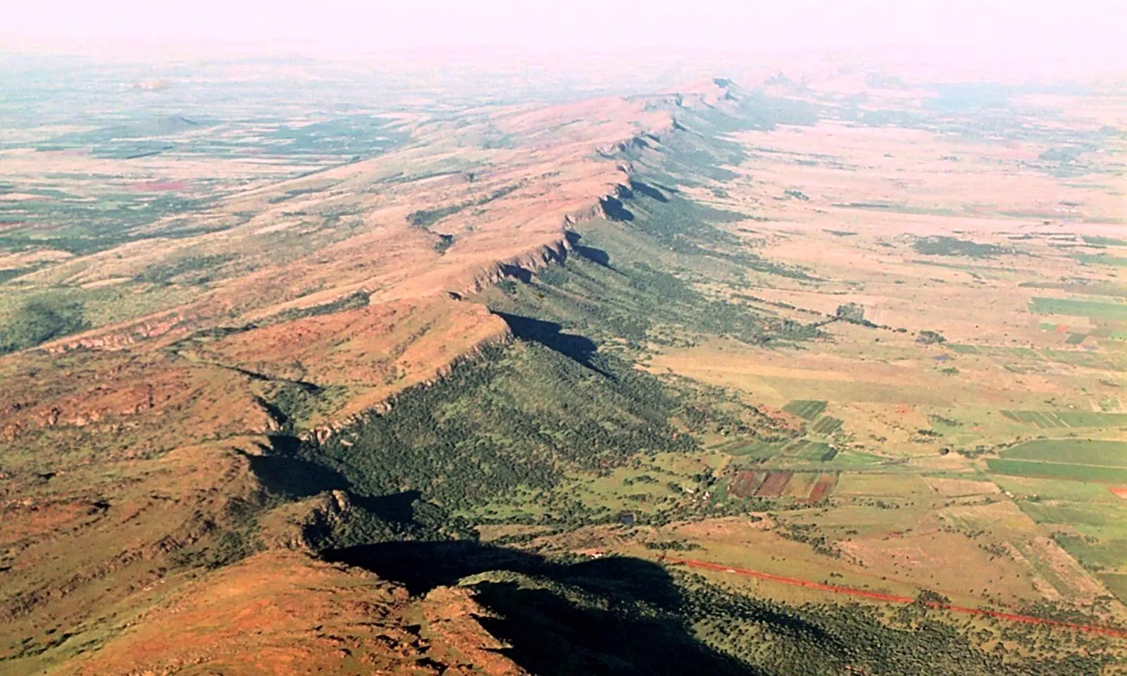
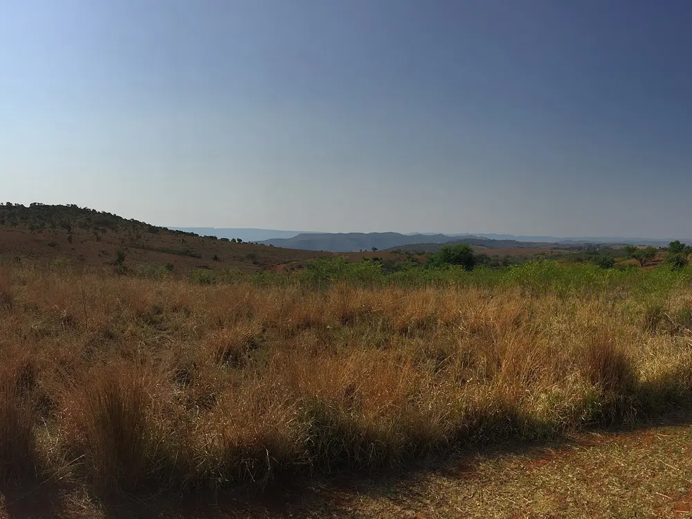
The long ridge of the Magaliesberg rising out of red farmland, seen from the air

Photos: Androstachys (Public domain), Soul Train (CC BY-SA 3.0), S'busiso siso (CC BY-SA 4.0), Olof Somell (Nobel Museum) (CC BY-SA 4.0)

Distance
97 km Ride Joburg road race
Next race
22 November 2026
Cradle Loop
29 km with a 2 m bike lane
Altitude
About 1,750 m

Why go

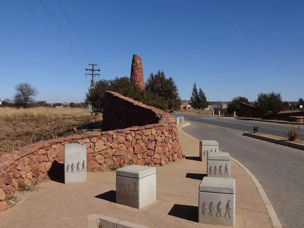
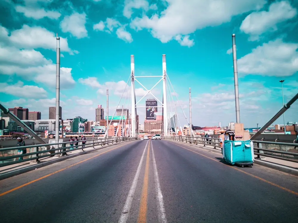
Johannesburg rides at altitude, and its clubs head north-west at weekends to the Cradle of Humankind, the fossil sites around Sterkfontein, for quiet, well-surfaced roads with a marked bike lane. Beyond lies the Magaliesberg, a long ridge with the nearest real climbs. Once a year the Ride Joburg race, the former 94.7 Cycle Challenge, closes the M1 highway and the Nelson Mandela Bridge to cars.

The route

The 29 km Cradle Loop has a 2 m wide bike lane signed against motor traffic, and a lane on the link to the Sterkfontein Caves adds about 10 km more. From the Cradle the R563 runs on to Hekpoort, where the road climbs about 7 km in three steepening ramps over the Witwatersberg, about 300 m in all. Off road, the Cradle Gateway 2 Gateway trail is 18 km for beginner and intermediate riders. The Ride Joburg road race covers 96.1 km with 1,398 m of climbing, over the M1 and the Nelson Mandela Bridge, to finish on the Kyalami Grand Prix Circuit.

When to go

Summer, from November to March, brings afternoon thunderstorms almost daily, so ride in the morning. Winter is dry and sunny but cold early, with June and July nights around 4 degrees. Ride Joburg is on Sunday 22 November 2026.

Getting there

Fly into Johannesburg. Riders reach the Cradle by Beyers Naude Drive and the N14, then the R563 for Hekpoort and the R96 for Magaliesburg.

Permits and booking

Open roads need no permit. Unseeded Ride Joburg entries close on 1 November 2026, and seeded entries closed on 4 October.
How hard it is

At about 1,750 m the air is thin for visitors from the coast. No climb is long: Hekpoort's steepest ramps are about 8 percent. Summer UV levels often reach 14 to 16, so cover up.

Where to sleep

Stay in Johannesburg and ride out; the race finishes at Kyalami. Magaliesburg village, on the R96, makes a coffee stop.

Tips

  • Finish before the afternoon storms in summer.
  • Stay in the Cradle Loop's bike lane where it exists; it is the safest line.
10 / 10

The Valley of a Thousand Hills and the Amashova

Pietermaritzburg to Durban, KwaZulu-Natal

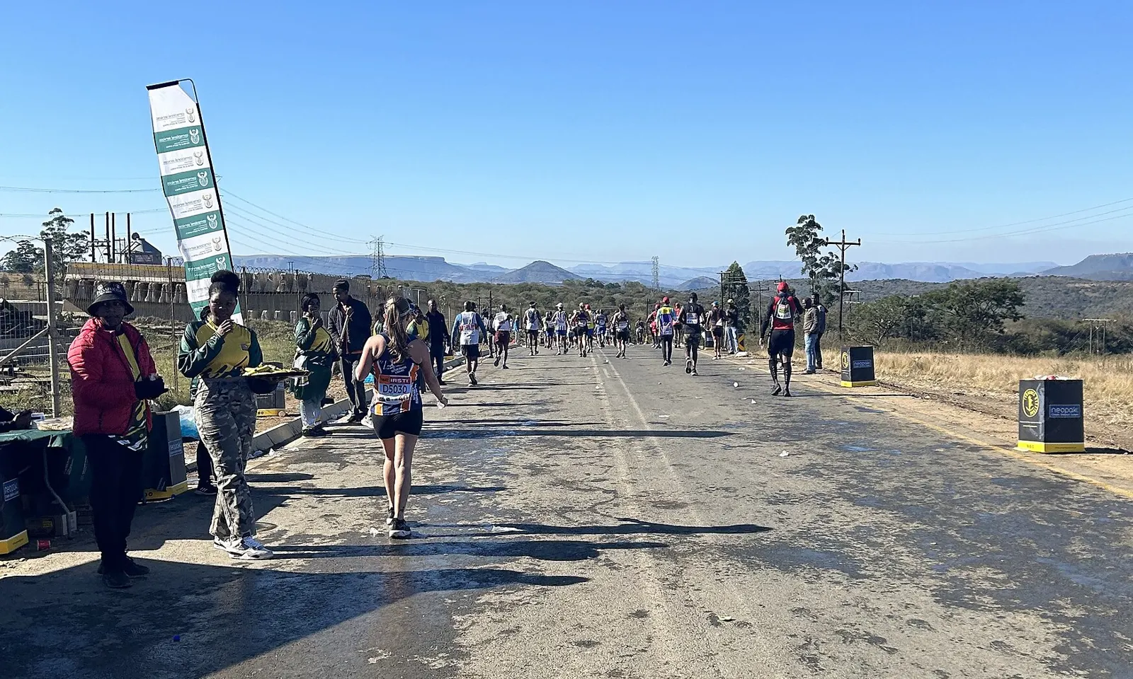
Runners on the closed road at Camperdown with the hills of the Midlands behind

Photos: Upjav (CC0), Johan Pretorius (CC BY-SA 3.0), NRJ (CC BY-SA 3.0), Hendrik van den Berg (CC BY 3.0)

Distance
106 km Pietermaritzburg to Durban
Shorter starts
70 km from Camperdown, 40 km from Shongweni
2026 race
Sunday 19 July, the 40th edition
Season
Dry, mild winters

Why go

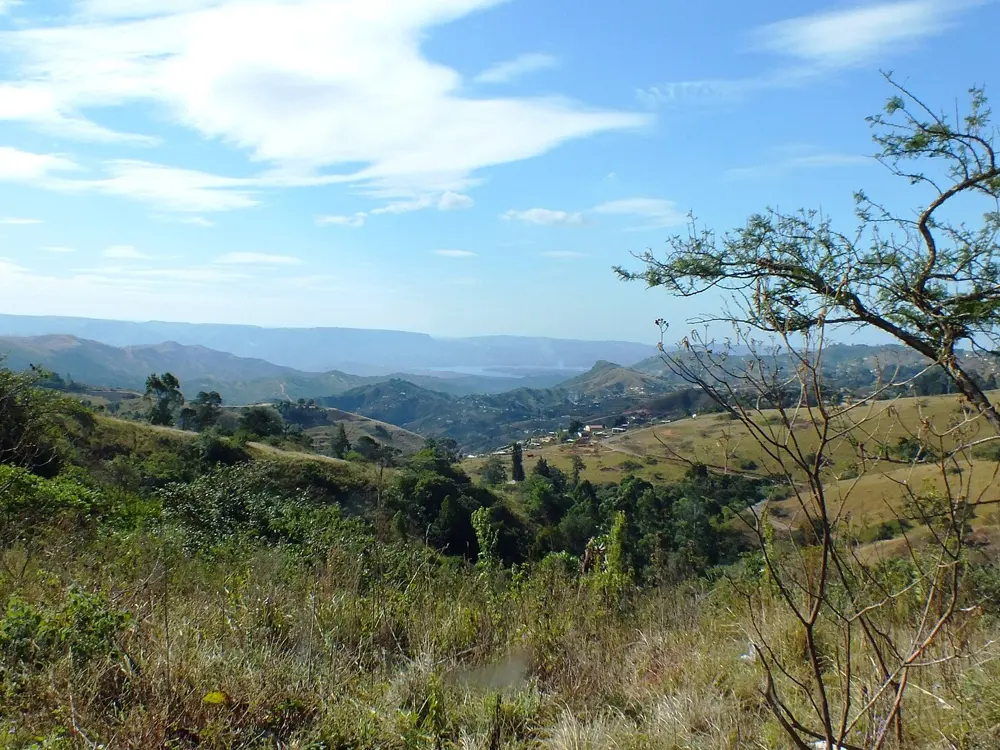
The road from Pietermaritzburg down to Durban crosses the Valley of a Thousand Hills, a land of ridges and gorges that stretches from Cato Ridge to Kloof along the R103. It is the course of the Amashova, South Africa's oldest classic cycle race, which rides it on fully closed roads from the city hall in Pietermaritzburg to central Durban.

The route

The Amashova's 106 km race leaves Pietermaritzburg City Hall and runs out by Alexandra Road and Umlaas Road to Camperdown, where the 70 km race starts. The R103 then crosses Inchanga and Botha's Hill above the valley before the Old Main Road through Hillcrest. The 40 km race joins at Westown in Shongweni, and all three follow the M13 through Westville into Durban to finish beneath the Masabalala Yengwa Pedestrian Bridge. On other days the R103 through the valley is the scenic ride, with the Inchanga railway museum on the way.

When to go

Winter is the season: Durban's July highs average about 23 degrees and its winters are mild and dry, while most rain falls from November to January and summer humidity is around 80 percent. The 2026 race ran on 19 July; we found no 2027 date.

Getting there

Pietermaritzburg is about 90 km from Durban on the N3, and on race day the event closes roads along the route from 2:00.

Permits and booking

No permit is needed on open roads. For the race, enter on the Amashova website; 2026 online entries closed on 24 June. Race day closures in 2026 ran from 2:00 until mid-afternoon in Durban.

How hard it is

There is no single big climb, but the route rolls all day, over Inchanga and Botha's Hill before the drop to the coast. On open-road days, expect traffic on the R103 and the M13.

Where to sleep

Riders stay in Pietermaritzburg for the start or in Durban at the finish, with Hillcrest and Botha's Hill between them in the valley.

Tips

  • Book a lift or bus back to Pietermaritzburg if you ride the full route one way.
  • In summer, start at dawn to beat the heat and humidity.

Sources

Distances, heights, seasons and permit rules were checked against these pages. Rules change, so check the park or trail authority before you go.