Rungs Labs

Rungs Pilgrimage · Cycling · Russia

The 10 Best Places to Cycle in Russia

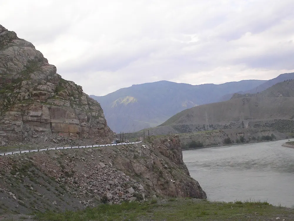
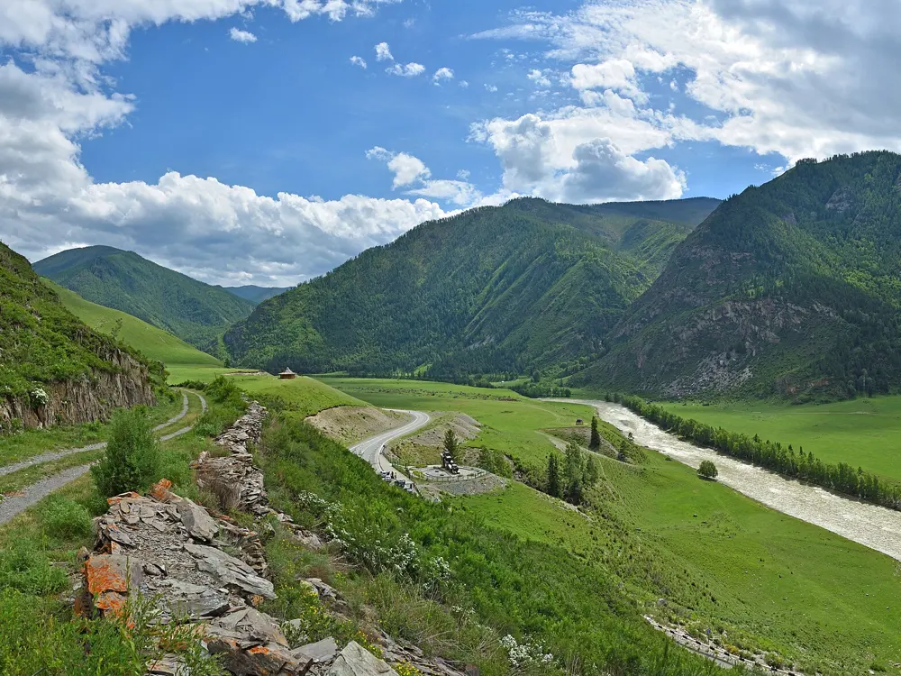
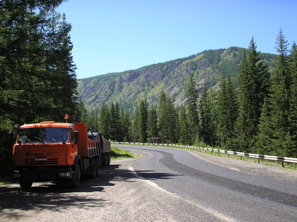
The Chuysky Trakt, Altai Republic and Altai Krai. Photo: Ludvig14 (CC BY-SA 4.0)

Russia's best cycling is spread from the Baltic to Lake Baikal. These ten run from the Chuysky Trakt in the Altai and the steppe road to Olkhon Island in Siberia to the Volga at the Samara Bend, the mountains above Sochi, the old towns around Suzdal, the new Velo1 path and the Krylatskoye circuit in and near Moscow, the Gulf of Finland at St Petersburg, the lakes of Karelia and the dunes of the Curonian Spit.

Getting there is harder than it was. The UK advises against all travel to Russia and warns that drone attacks can close airports at short notice. The 30 day e-visa is open to citizens of 64 countries, a list that leaves out the UK, the US, Canada and Australia, and areas near the border can need a pass from the FSB border service. For each place you get the classic rides, the best season, how to get there, the rules and closures, how hard it is and where riders stay. Every fact comes from the routes' own sites, parks, news reports and guides, linked at the bottom of the page.

Updated 2026-10-18

  1. 01The Chuysky TraktAltai Republic and Altai Krai
  2. 02Irkutsk to Olkhon IslandLake Baikal, Irkutsk Oblast
  3. 03The Curonian SpitKaliningrad Oblast
  4. 04Karelia: Petrozavodsk to Sortavala and RuskealaRepublic of Karelia
  5. 05Velo1 along the Moscow CanalMoscow Oblast
  6. 06Moscow: the Krylatskoye circuit and Losiny OstrovMoscow
  7. 07St Petersburg and the Gulf of FinlandSt Petersburg
  8. 08Suzdal and the Vladimir countrysideVladimir Oblast
  9. 09Sochi: Krasnaya Polyana and the Mzymta valleySochi, Krasnodar Krai
  10. 10The Samara Bend and the Zhiguli HillsSamara Oblast
01 / 10

The Chuysky Trakt

Altai Republic and Altai Krai
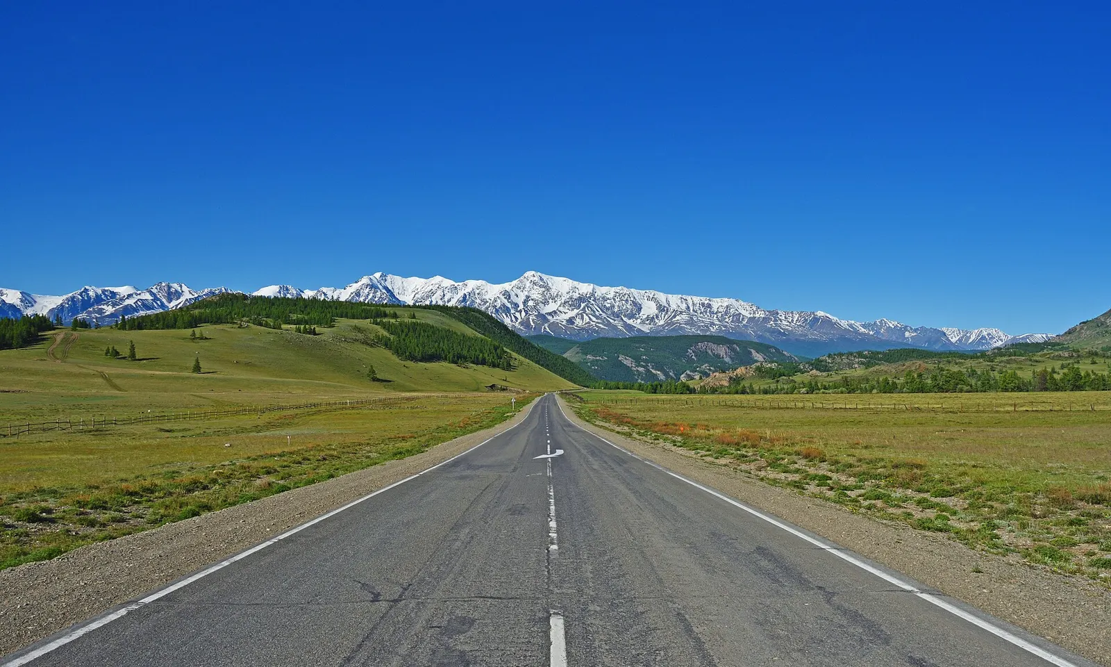
The Chuysky Trakt running straight across green steppe towards snowy mountains

Photos: Ludvig14 (CC BY-SA 4.0), Obakeneko (CC BY 3.0), Ludvig14 (CC BY-SA 4.0), Obakeneko (CC BY 3.0)

Distance
About 460 km, Gorno-Altaysk to Kosh-Agach
Time
5 to 8 days
Highest pass
Seminsky, over 1,700 m
Season
July to September

Why go

The Chuysky Trakt is the stretch of federal highway R256 from Biysk to Tashanta on the Mongolian border, 616.7 km in all, and it grew out of an old pack trail. National Geographic's Russian edition put it at the top of its list of the country's most scenic roads. Riding it, you climb out of forest over two passes, follow the Katun to its meeting with the grey Chuya, where the two rivers run side by side without mixing, and come out on the dry, high Kurai steppe below snow peaks. It is Russia's classic long ride.

The route

Most riders start in Gorno-Altaysk and finish in Kosh-Agach, about 460 km, passing Ongudai, Aktash and Kurai. The first big climb is the Seminsky pass, the high point of the road, with roughly 10 km up and 10 km down. Then comes Chike-Taman, whose present road over the pass was built in the mid 1980s. The road was fully paved in 2007 and widened in many places by 2024, but expect some gravel and dirt. Side trips include the red and orange Kyzyl-Chin hills, about 10 km off the road on a dirt track. The hardest sections are Chike-Taman and the climb to Aktash.

When to go

July to September. Snow can still lie on the passes in June, and on Seminsky it usually lies from November to May. Nights can fall to about 5 °C even in summer, and the Kurai and Chuya steppes are dry with big swings in temperature.

Getting there

Fly to Gorno-Altaysk, or take a train to Biysk and a taxi on. Biysk has the road's zero kilometre marker and a museum of the Chuysky Trakt, opened in 2013. From Kosh-Agach, return by transfer or bus. Novosibirsk to Kosh-Agach is 892 km by road.

Permits and booking

We found no permit for riding the highway itself. Kosh-Agach and Ust-Koksa are border districts. Going on to the Ukok plateau needs a border zone pass from the FSB border directorate in Gorno-Altaysk, Kosh-Agach or Ust-Koksa, or through Gosuslugi, ideally a month ahead. In March 2026 the republic announced tighter rules for its border districts: tour operators must agree routes with the border guards, entry is only at set points and only with identity documents. Carry your passport.

How hard it is

Very hard. Days can involve up to 1,500 m of climbing, at altitude, with strong wind on the steppe. The road is busy: more than 2.5 million people a year travel it.

Where to sleep

Between Gorno-Altaysk and the Seminsky pass there are hotels of every kind, around Manzherok and its lake. Past the pass there are no large resorts but many guesthouses, holiday bases and glamping sites, and Kosh-Agach has hotels and shops. Many riders camp. Apartments ran at about 4,100 roubles a day in Gorno-Altaysk and from 3,000 in the villages.

Tips

  • Bring a warm sleeping bag and a membrane jacket for cold nights.
  • Protect your gear from wind and sand, and check the bike well before you start.
02 / 10

Irkutsk to Olkhon Island

Lake Baikal, Irkutsk Oblast

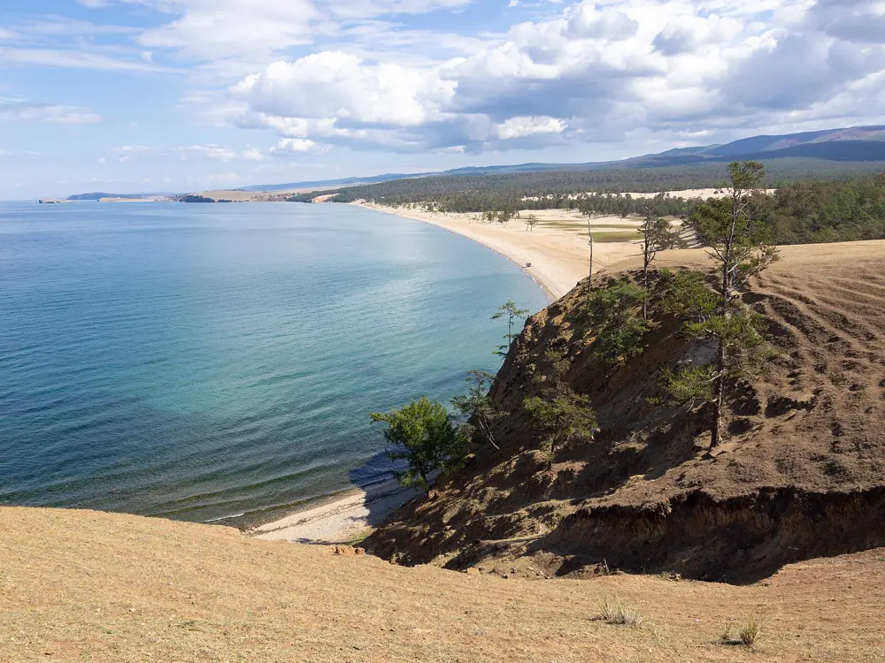
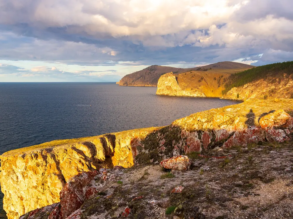
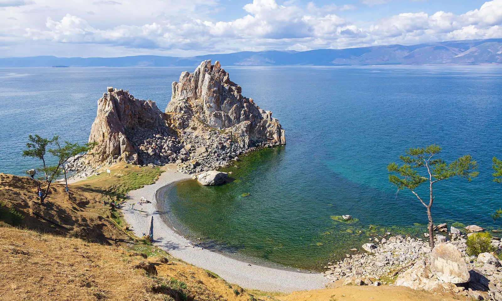
Shaman Rock at Cape Burkhan on Olkhon Island above the blue water of Lake Baikal

Photos: Vyacheslav Argenberg (CC BY 4.0), Vyacheslav Argenberg (CC BY 4.0), Vyacheslav Argenberg (CC BY 4.0), Vyacheslav Argenberg (CC BY 4.0)

Distance
About 300 km, Irkutsk to Olkhon
Time
About 4 days
Island
73.5 km long, up to 15 km wide
Season
July and August

Why go

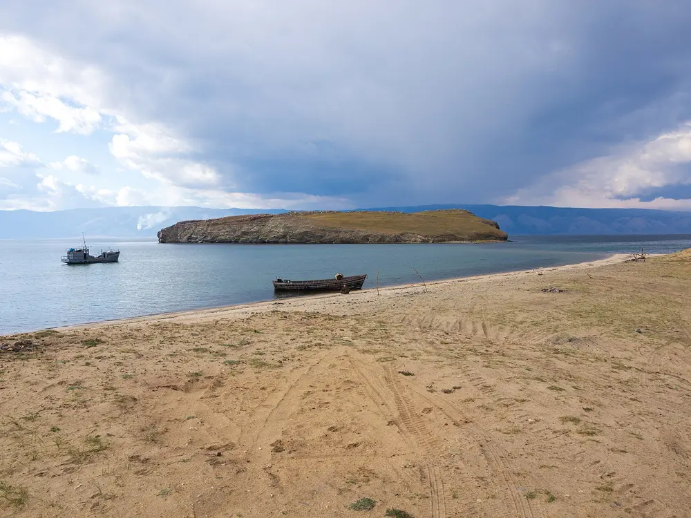
Olkhon, 730 sq km of steppe, forest and cliffs, is the world's third largest lake island and part of Pribaikalsky National Park. It is one of the driest places in the region, with only 48 overcast days a year and no more than about 140 mm of rain. Cape Burkhan, with its Shaman Rock, is held sacred by shamanists, Christians and Buddhists. The ride out from Irkutsk crosses open steppe before the ferry over the Olkhon Gate strait.

The route

From Irkutsk the route runs through steppe, villages and foothills to Sakhyurta, the ferry point, 253 km from the city. On the island it continues to Khuzhir, the main village, and on to Cape Burkhan and a sacred lake, about 300 km in all over four days. Expect asphalt, gravel and sand. The island has no good roads, and the sand is hard going, so let some air out of the tyres. The northern end of the island is a separate park route.

When to go

July and August. June is cool and September brings strong winds. The free ferry runs from early summer until the lake freezes; in winter an ice road replaces it, with a hovercraft for people while the ice forms.

Getting there

Fly to Irkutsk. Buses to Khuzhir leave the Irkutsk bus station, take about 6 hours and cost from 750 roubles, and drive onto the ferry. Three ferries run from Sakhyurta, which one guide says leave every 30 minutes from 7:00 to midnight for a crossing of about half an hour. Queues build up in high season and can last hours.

Permits and booking

Olkhon's routes are in Pribaikalsky National Park, and visitors need a park permit, bought at baikalpass.ru. Since 12 January 2026 it costs 600 roubles for foreigners and 300 for Russian citizens per visit, and lasts 7 days; the North Olkhon route costs more. Download or print it, as signal is patchy. In September 2026 the park closed most of its routes because of brown bears, but all Olkhon routes stayed open.

How hard it is

Hard. The distance is long, the island's sand is slow, wind is strong and water is scarce.

Where to sleep

Khuzhir has the most rooms, at about 3,000 roubles a night; Irkutsk apartments ran at about 3,100 roubles a day.

Tips

  • Carry plenty of water and a filter bottle, because sources are few.
  • Dress in layers: days are hot and nights cold. Tie everything down against the wind.
03 / 10

The Curonian Spit

Kaliningrad Oblast

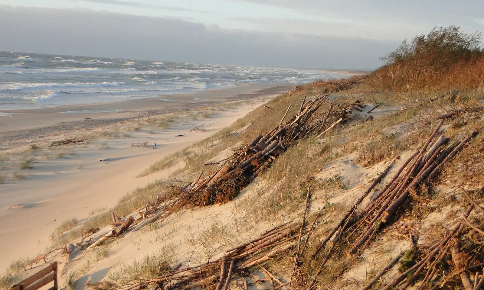
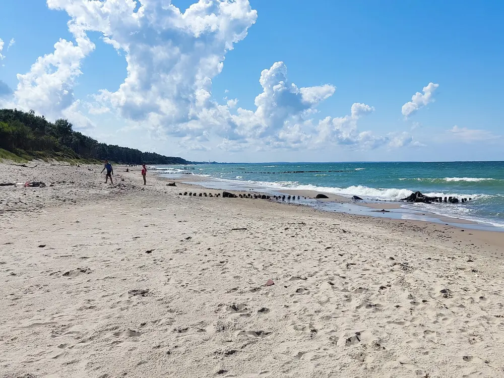
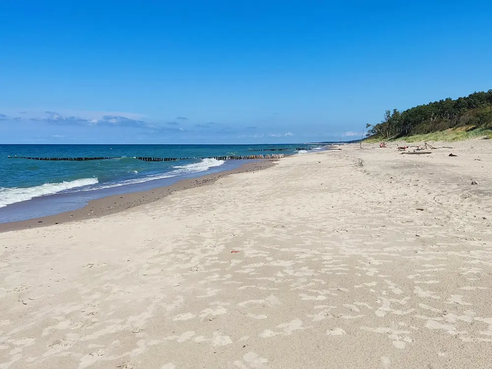
Wind-flattened dune grass and fencing above a wide sandy Baltic beach on the Curonian Spit

Photos: Leon petrosyan (CC BY-SA 4.0), Александр Сигачёв (CC0), Alexander Grebenkov (CC BY 3.0), Alexander Grebenkov (CC BY 3.0)

Distance
About 80 km, Zelenogradsk to the Dancing Forest and back
Spit
98 km long, shared with Lithuania
Eco fee
400 roubles a person
Terrain
Flat

Why go

The Curonian Spit is a 98 km strip of sand and pine between the Baltic and the Curonian Lagoon, shared by Russia and Lithuania and a World Heritage Site since 2000. In places it is only about 400 m wide, and its dunes average about 35 m, some reaching 60 m. The Russian part is a national park, crossed by a single road with the sea on one side and the lagoon on the other. It is the easiest ride on this list, and one of the prettiest.

The route

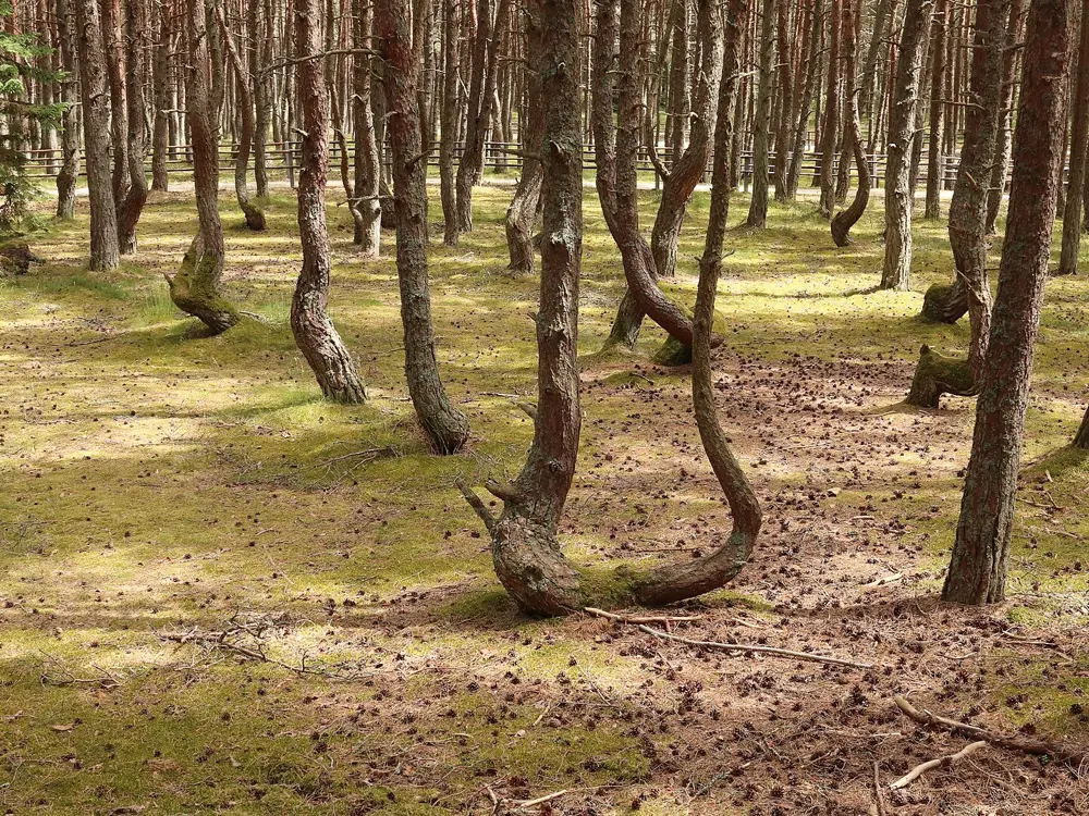
The road runs from Zelenogradsk through Lesnoy, Rybachy and Morskoe towards the Lithuanian border. The park visitor centre is at km 14.7. A common day ride goes out to the Dancing Forest, where pines grow in loops and spirals beside a 1.5 km boardwalk, and back, about 80 km. Side trips on foot include Muller Height from Rybachy, about 2 km, and Efa Height on the Orekhovaya dune near Morskoe, about 2.4 km there and back. A 44 km cycle path from Zelenogradsk to Morskoe, set back from the road, was under construction in 2023; riders in July 2024 found it broken by sand-filled kerbs from about km 4 and used the road. We could not confirm it is finished.

When to go

Summer is the busy season, with crowded trains. The Fringilla bird ringing station takes guided visits roughly from April to October. As of 23 July 2026 the Lake Swan trail was closed for reconstruction, and the farther viewing platforms at Efa sometimes close for repairs.

Getting there

Take the commuter train from Kaliningrad to Zelenogradsk, which cost 84 roubles and ran about hourly in 2024, and rent a bike there. The park entrance is about 35 km from Kaliningrad. Bus 210 runs from Zelenogradsk to Morskoe through Lesnoy and Rybachy but not often; bus 593 from Kaliningrad was suspended from 22 May 2026.

Permits and booking

Everyone pays the park's eco fee at the checkpoint, 400 roubles a person since 1 April 2025, plus 150 roubles for a car. Children and Russian pensioners are among those exempt. Check the park's news page before you go, as routes change after storms and repairs.

How hard it is

Easy. There are no real climbs on the spit; the distance is the only work.

Where to sleep

Lesnoy is the closest village to the entrance, Rybachy is a central base for two days, Morskoe is closest to Efa Height and Zelenogradsk has the most services.

Tips

  • Buy return train tickets in summer, as trains fill up.
  • Leave time for a swim: riders in 2024 stopped for lunch and a swim on the Baltic shore.
04 / 10

Karelia: Petrozavodsk to Sortavala and Ruskeala

Republic of Karelia

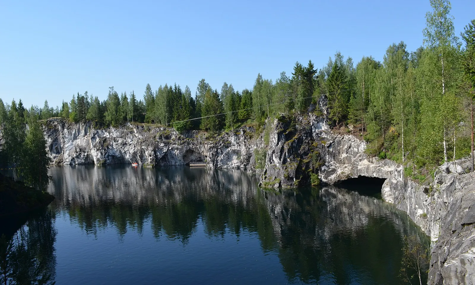
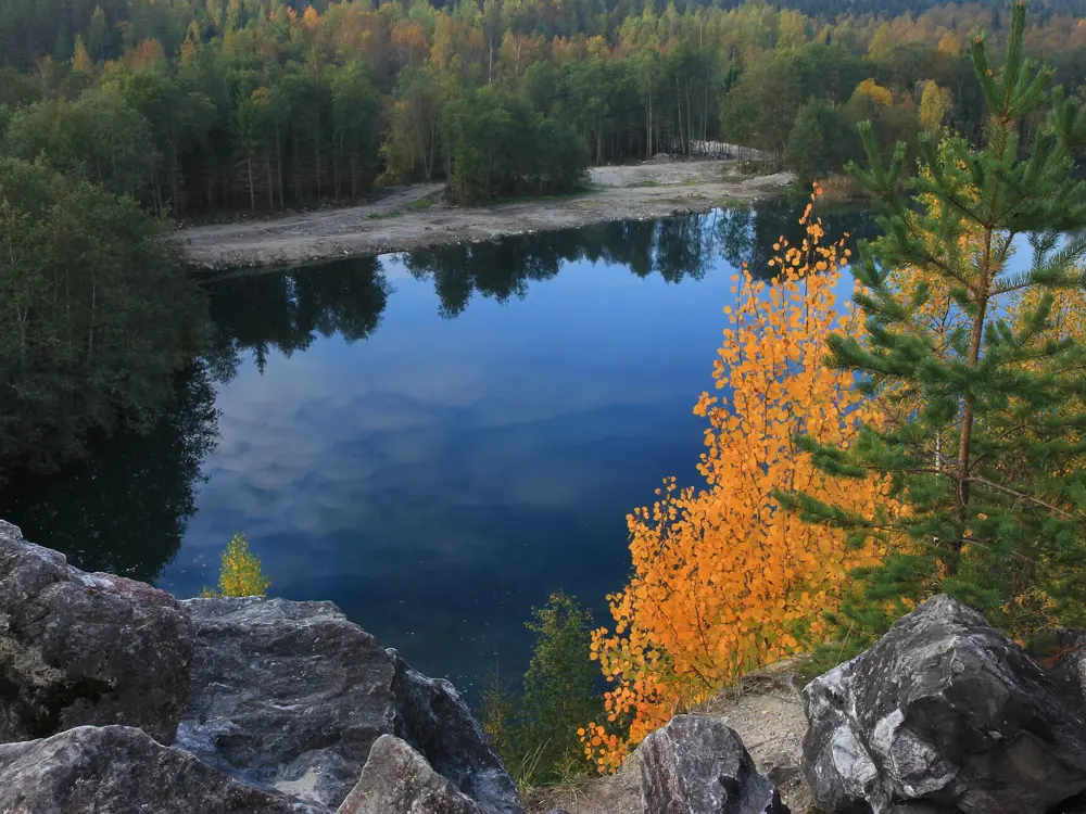
The flooded Ruskeala marble canyon with white cliffs reflected in still water under pine forest

Photos: GAlexandrova (CC BY-SA 4.0), Consider me jealous (CC BY-SA 4.0), GAlexandrova (CC BY-SA 4.0), Aleksander Kaasik (CC BY-SA 4.0)

Distance
About 50 km a day
Time
3 to 4 days
Ruskeala entry
750 roubles (2026)
Season
July and August

Why go

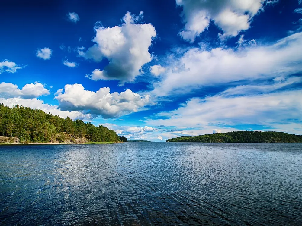
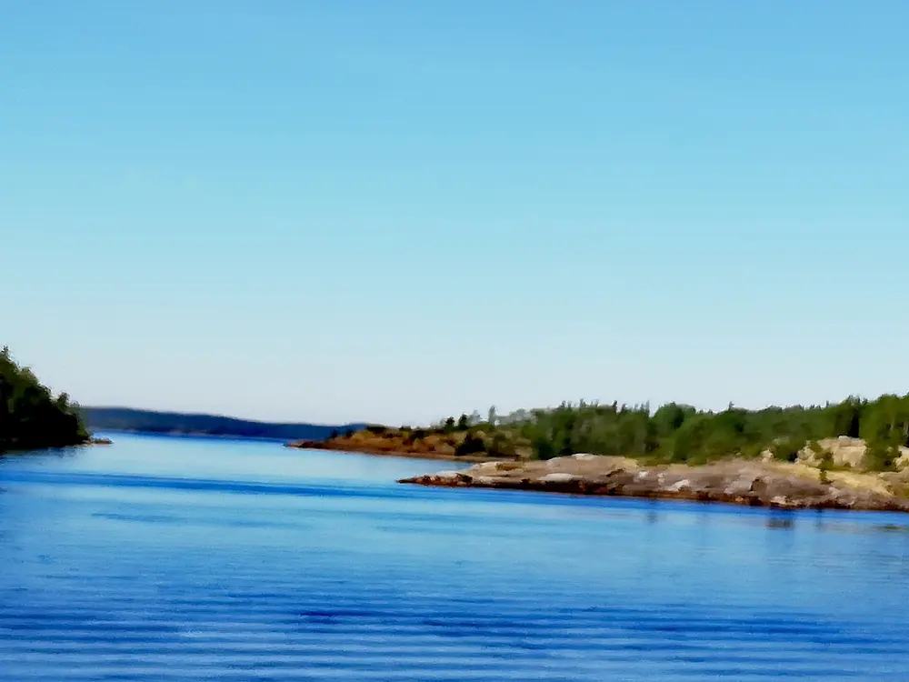
Karelia is lakes, granite and pine forest, and this ride crosses it from the capital, Petrozavodsk, to Sortavala on the northern shore of Lake Ladoga. On the way you pass the Ruskeala waterfalls and the Ruskeala marble canyon, a quarry worked since the 17th century and now flooded, with clear water under white cliffs. At the end come the Ladoga skerries, a maze of rocky islands that is now a national park, and sandy beaches on the lake.

The route

The route from Petrozavodsk runs through Kharlu and Ruskeala to Sortavala, about 50 km a day over three or four days, on asphalt and gravel with short climbs. Ruskeala is about 30 km from Sortavala. To go on towards St Petersburg by road, the A121 from Sortavala to Lahdenpohja is known as the Karelian serpentine for its sharp bends and steep grades, and near Kiryavalahti it runs right along the Ladoga shore.

When to go

July and August have the most settled weather. May, June and September also work but are cooler and wetter.

Getting there

Take the train from Moscow or St Petersburg to Petrozavodsk. Come home from Sortavala on the Lastochka to St Petersburg, which in 2026 left Finlyandsky station at 06:15 and reached Sortavala at 10:20, or on a train to Moscow.

Permits and booking

The Ruskeala mountain park costs 750 roubles in 2026, free for children under seven; buy online ahead. A day pass for the Ladoga Skerries national park costs 350 roubles. In 2026 the FSB tightened checks in Karelia: at the Shuya post in Suoyarvsky district drivers must stop and show documents, with fines up to 7,000 roubles, and a new post at Rautalahti on the road from Khelyulya to Pitkyaranta was announced, though no passes or routine passport checks were planned there. Carry your passport.

How hard it is

Moderate. Days are not long, but gravel, short climbs and wet weather add up. The A121 gets heavy traffic in summer, with queues into Sortavala and Lahdenpohja.

Where to sleep

Apartments ran at about 4,200 roubles a day in Petrozavodsk and 5,400 in Sortavala. You can also camp or stay at holiday bases along the way.

Tips

  • Pack a tent, sleeping bag, warm clothes, a raincoat and insect repellent.
  • Visit Ruskeala on a weekday to avoid the crowds.
05 / 10

Velo1 along the Moscow Canal

Moscow Oblast

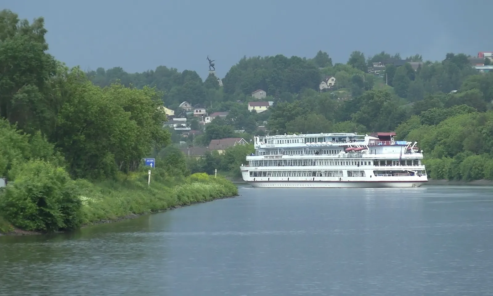
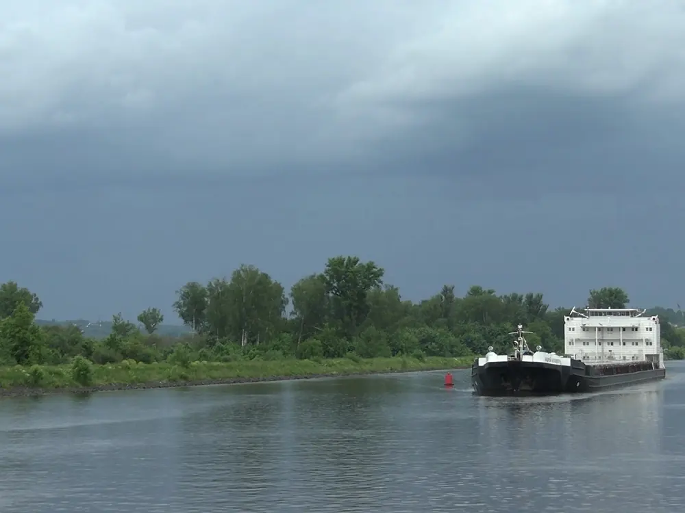
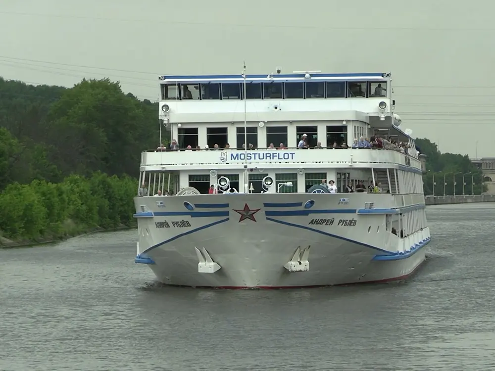
A white river cruise ship on the Moscow Canal below green wooded hills

Photos: Sergey A. Demidov (CC BY 4.0), Sergey A. Demidov (CC BY 4.0), Sergey A. Demidov (CC BY 4.0), Sergey A. Demidov (CC BY 4.0)

Distance
56 km, Yakhroma to Dubna
Surface
Compacted granite chips
Cost
Free
Season
May to September

Why go

Velo1 is Russia's first national cycle route, planned to run more than 1,000 km from Moscow to St Petersburg by 2027. Its first section opened on 12 September 2021, and the whole Moscow region stretch, 56 km from Yakhroma to Dubna, now runs along the western bank of the Moscow Canal with comfort stations, rest areas and signs. It is the easiest way to see the country north of Moscow by bike, with river boats on the canal and forest on either side.

The route

Start at the comfort station by the Yakhroma municipal stadium and ride north on the towpath. The first 22 km reach Dmitrov, with a second comfort station at the Rogachyovsky bridge, passing the park of Soviet sculpture at Tatishchevo, which has a cafe. Rest areas with tables and benches sit at km 38 at Nadmoshye, km 46 at Meldino and km 56 at Dubna. In summer two ferries cross the canal, at Dubna to the Konakovo bank and at Meldino to the right bank. In winter the route becomes a ski track.

When to go

May to September. July and August are warmest and busiest.

Getting there

Take a suburban train from Moscow's Savyolovsky station. The nearest stations are Yakhroma, Dmitrov, Meldino and Dubna (Bolshaya Volga), so you can ride one way and take the train back. Bikes travel in the carriage on a luggage ticket. Both comfort stations have car parks.

Permits and booking

None. Riding any section of Velo1 is free.

How hard it is

Easy. The route has no steep climbs or obstacles. There is no lighting, and you may meet hares, foxes, deer and adders sunning on the path; leave snakes alone and back away slowly.

Where to sleep

You can ride it in a day and take the train back. To stay over, an apartment in Dmitrov cost about 3,600 roubles a day.

Tips

  • Rent bikes from DEVI CLUB at the Yakhroma or Dmitrov comfort stations, from 300 roubles an hour, leaving a driving licence or SNILS as a deposit.
  • Carry a spare tube, tools, water and lights. Shops are in Tatishchevo, Melchevka and Meldino.
06 / 10

Moscow: the Krylatskoye circuit and Losiny Ostrov

Moscow

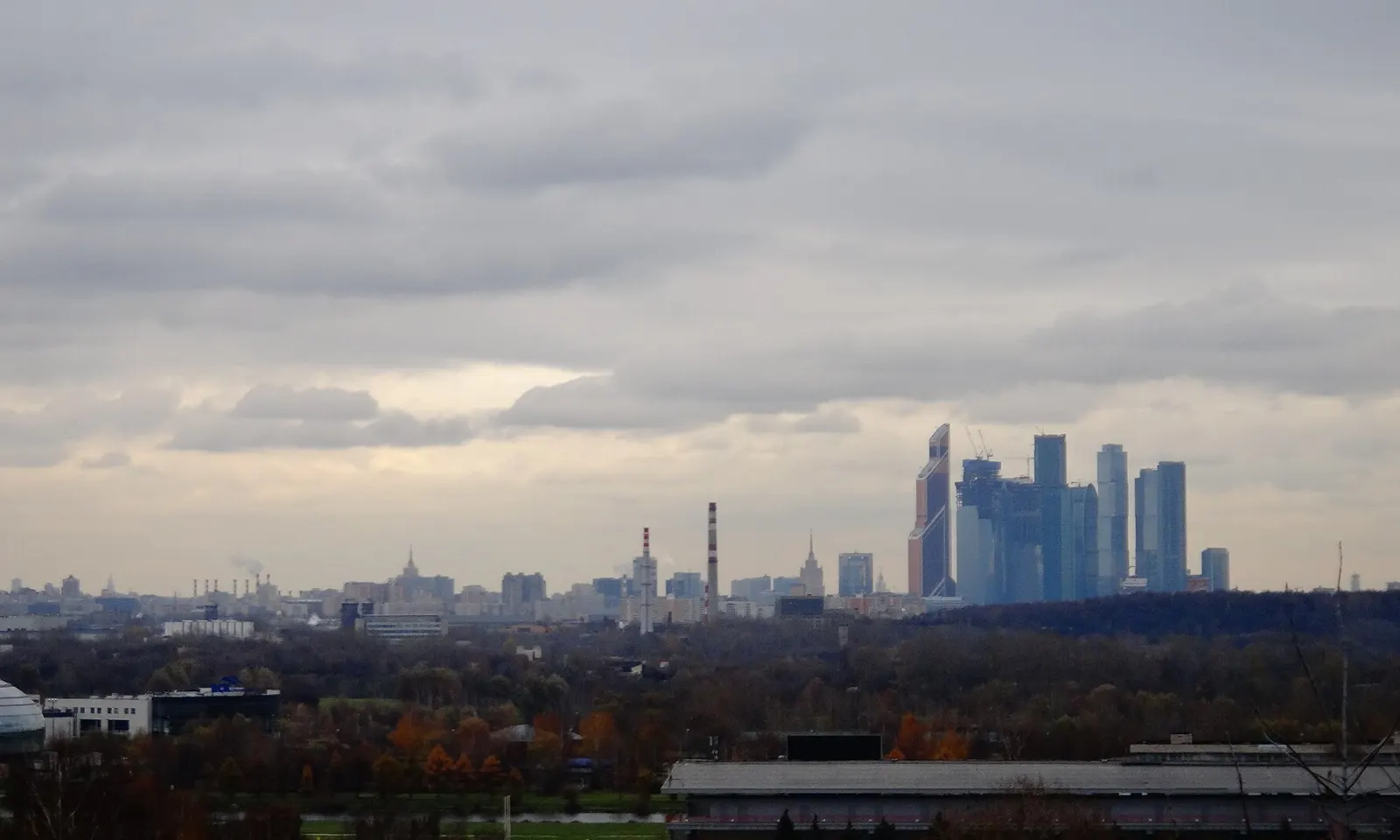
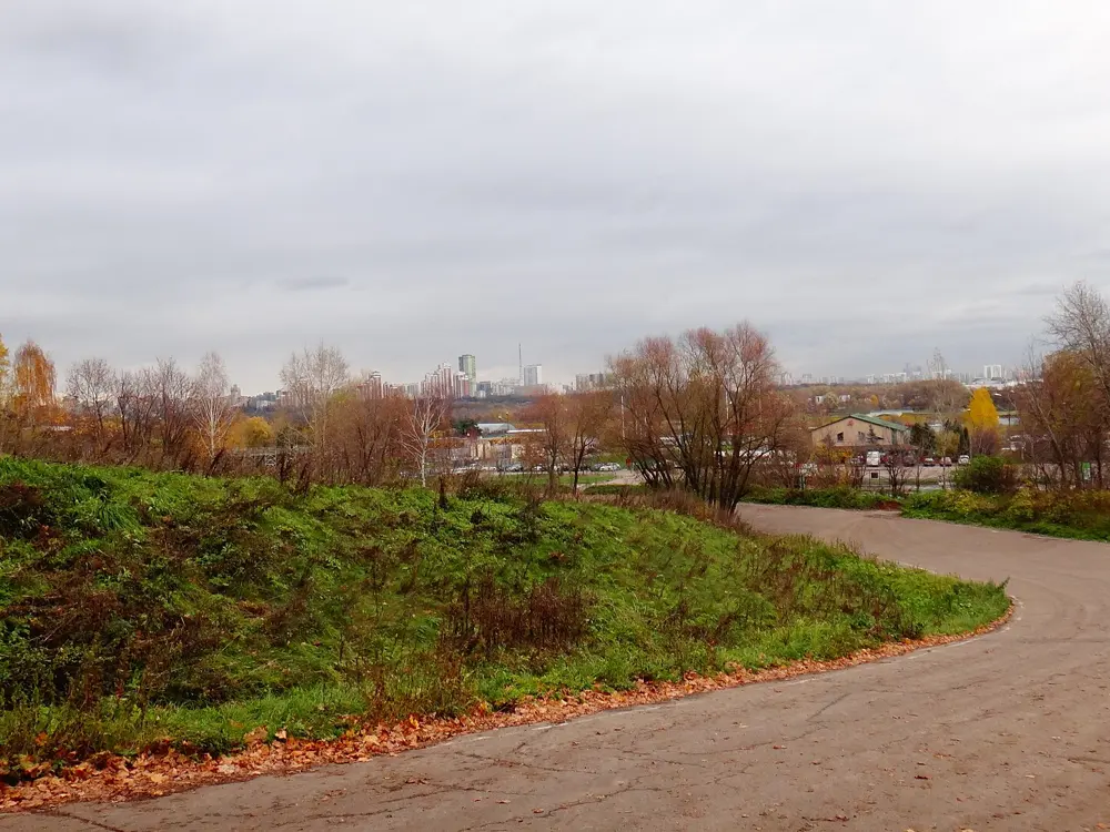
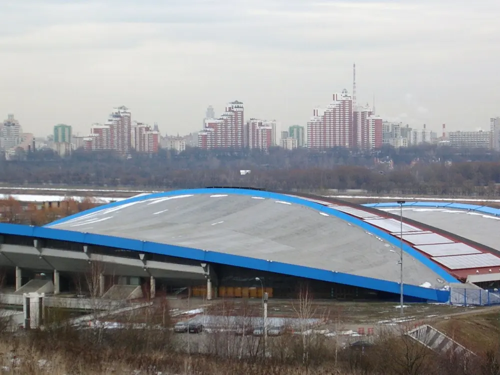
The Moscow City towers on the skyline seen from the Krylatskoye hills

Photos: karel291 (CC BY 3.0), karel291 (CC BY 3.0), karel291 (CC BY 3.0), Sidik iz PTU (CC BY-SA 4.0)

Distance
13.6 km a lap at Krylatskoye
Climb
About 240 m a lap
Built
1979, for the 1980 Olympics
Losiny Ostrov
5 to 20 km, no cars

Why go

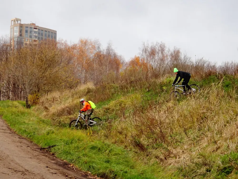
Moscow's road riders train on the Krylatskoye circuit, built in 1979 for the road races of the 1980 Olympics. It is a one-way asphalt loop of 13.6 km in the Krylatskiye Kholmy park, with about a hundred bends and climbs and descents over roughly half its length, and it has hosted a European road championship, a youth world championship and Russian championships. The city rebuilt it in 2024 and 2025. For an easier day, Losiny Ostrov in the north east is a forest park with paved, car-free paths.

The route

The circuit is ridden clockwise. The first stage of the rebuild, finished in September 2025, resurfaced both the small and the large loop, restored the original slopes from archive plans and laser surveys, and added timing and lighting so that people can train at any hour. At Losiny Ostrov, start at Belokamennaya station on the Moscow Central Circle: short loops are 5 to 10 km, and the full route of about 20 km runs through Mytishchi to Lake Torfyanka and ends at Bolshevo station. Spotted deer and elk live in the park.

When to go

May to September. Losiny Ostrov is quietest on weekdays and weekend mornings. Races close the Krylatskoye circuit on some days.

Getting there

Krylatskoye is in the west of the city; Losiny Ostrov starts at Belokamennaya. From Bolshevo, trains run back to Yaroslavsky station.

Permits and booking

No permit is needed for either. We found no published hours for public riding on the Krylatskoye circuit: in 2025 it was fenced for reconstruction in spring and reopened for races from late June. Its ownership has been disputed in court, and in 2023 an appeals court ruled that the ring road could not be registered as private property.

How hard it is

The circuit is moderate, with short, steep pitches on every lap and fast descents. Losiny Ostrov is easy.

Where to sleep

Moscow has every kind of hotel. Near Losiny Ostrov, apartments in Mytishchi or Korolev cost about 3,700 roubles a day.

Tips

  • Ride Krylatskoye only clockwise, the way it was built.
  • Check for race closures before you go.
07 / 10

St Petersburg and the Gulf of Finland

St Petersburg

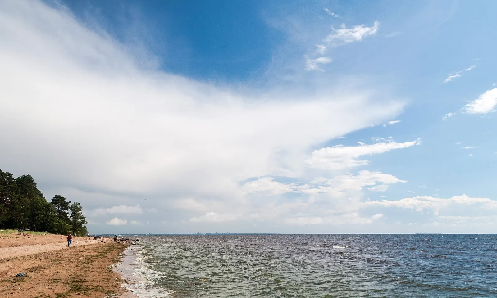
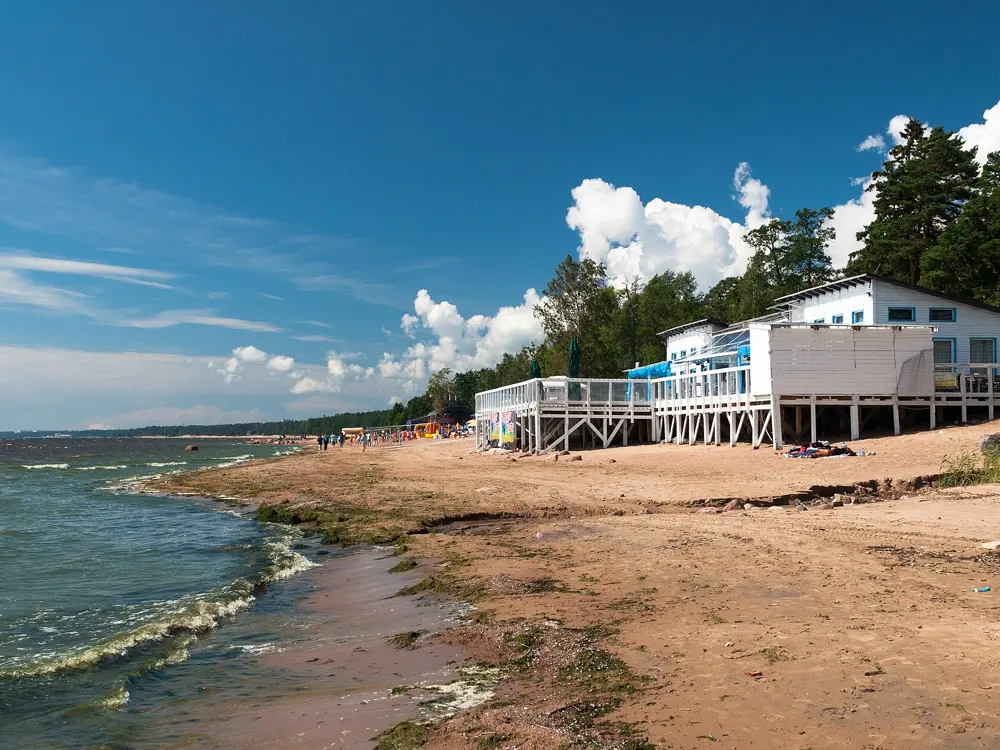
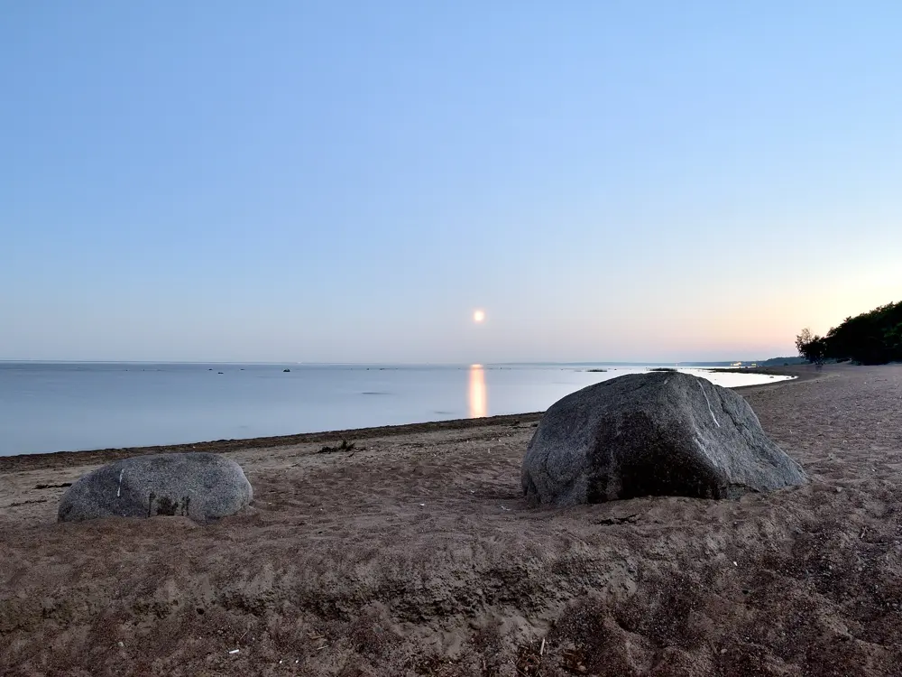
A sandy path along the shore of the Gulf of Finland at Komarovo under a wide blue sky

Photos: Volunka (CC BY-SA 3.0), Volunka (CC BY-SA 3.0), Александр Байдуков (CC BY-SA 4.0), Volunka (CC BY-SA 3.0)

Distance
About 30 km one way, Sestroretsk to Zelenogorsk
To Peterhof
About 18 km
City routes
More than 107 km
Lakhta to Lisiy Nos
10 km

Why go

St Petersburg has more than 107 km of official bike routes. The best riding leaves the centre for the Gulf of Finland: north along the shore through the old summer villages of Solnechnoye, Repino and Komarovo, where Anna Akhmatova and Dmitri Shostakovich spent their summers among pines and dunes, or west along the southern shore to the palace parks of Peterhof.

The route

The classic ride runs from Sestroretsk to Zelenogorsk, about 30 km, on a path set back from the Primorskoye highway in the trees, with stops in the forest or on the beach and a train home. Beyond Sestroretsk a path follows the Sestra river and then the shore past Zelenogorsk park to Serovo and Smolyachkovo; closer to the city, the path along the Primorskoye highway from Park 300-letiya through Lisiy Nos is often broken, so you end up on the road or pavement. From the Lakhta Center to Lisiy Nos is 10 km, first on city roads, then forest tracks past the Northern Shore of Neva Bay reserve. To the south, a quiet road leads about 18 km from Yuzhno-Primorsky park to Peterhof.

When to go

Summer, when the long white nights give light for evening rides along the shore.

Getting there

The Sestroretsk to Zelenogorsk ride ends at a suburban train station, so you can ride one way. Komarovo is about 40 km from the city centre.

Permits and booking

None. At Konstantinovsky palace near Peterhof you must leave the bike outside the park. Cyclists are allowed into the Kirov Central Park of Culture and Leisure only on weekdays, and routes on Krestovsky island can be closed on stadium match or concert days.

How hard it is

Easy. The routes use quiet roads, park paths and shore paths; the run from Chernaya Rechka to Park 300-letiya heads into the wind with small rises.

Where to sleep

Zelenogorsk has the most choice on the north shore, from sanatoriums at about 3,200 roubles a night to seafront hotels, several within 300 m of the water. Repino and Komarovo have holiday bases and boarding houses in the pines.

Tips

  • Avoid the city centre at rush hour.
  • Take the suburban train back from Zelenogorsk rather than riding both ways.
08 / 10

Suzdal and the Vladimir countryside

Vladimir Oblast

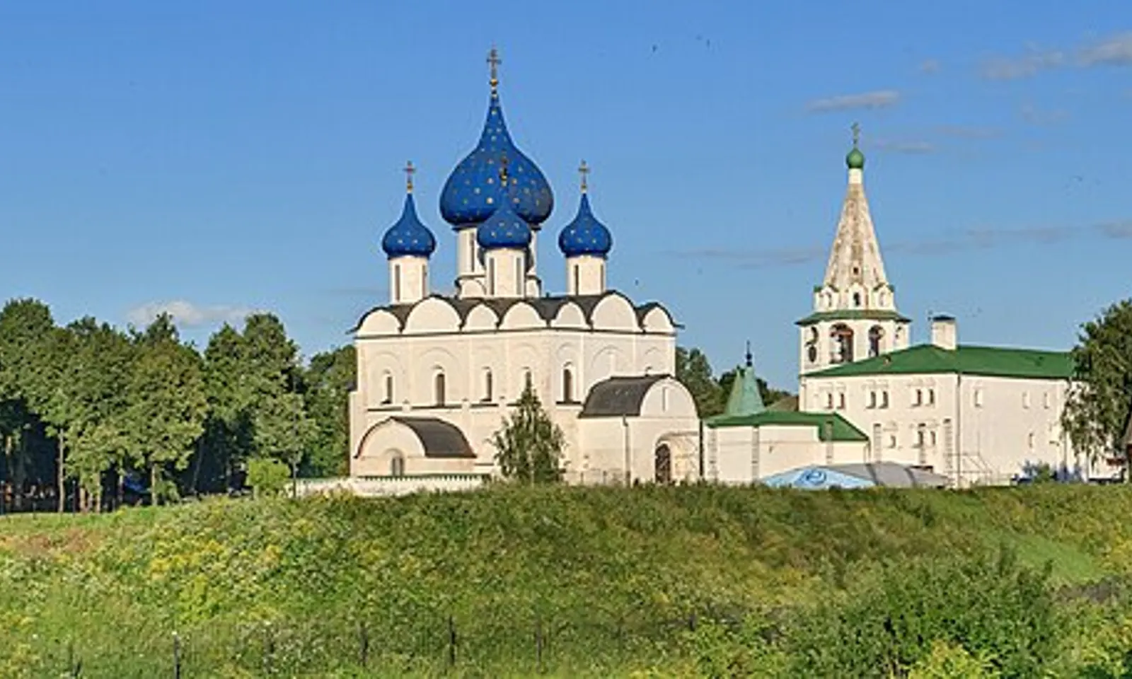
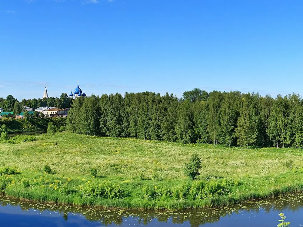
The blue domed Nativity Cathedral of the Suzdal kremlin above a green meadow

Photos: Ludvig14 (CC BY-SA 4.0), Ludvig14 (CC BY-SA 4.0), Ludvig14 (CC BY-SA 4.0), Niklem (CC BY-SA 3.0)

Distance
About 35 km, Vladimir to Suzdal by road
Village loop
About 25 to 30 km
From Moscow
About 200 km
Race
Rossiya stage, June 2026, over 85 km

Why go

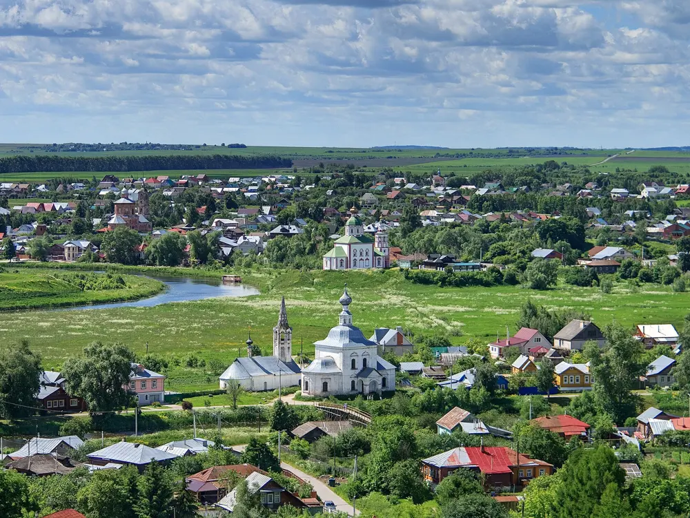
Suzdal is a small town of churches and monasteries in open farmland, with one historic monument for every 30 residents, and its kremlin is on the UNESCO World Heritage list. The countryside around it, the Suzdal opolye, is a patchwork of fields, rivers and villages with old churches, ideal for a bike. In June 2026 the second stage of the Rossiya race followed the old merchant road between Vladimir and Suzdal and finished in Suzdal's central square by the kremlin.

The route

A good day loop of about 25 to 30 km leaves Suzdal by the Lukoil filling station on the way out of town. Ride 7 km to Gnezdilovo, a 10th to 12th century site where archaeologists from the Russian Academy of Sciences are digging, then on asphalt to Vypovo, a former princely estate with a cedar avenue where Tarkovsky filmed part of Andrei Rublev. A field road of about 4 km leads to Ulovo and its church of 1795, then 5 km more to Voskresenskaya Sloboda and an abandoned church on the Nerl, and 2 km of asphalt to Mordysh, where Shukshin filmed. From Vladimir, Bogolyubovo is 2 km away, and a walk across the meadows leads to the Church of the Intercession on the Nerl.

When to go

Summer. In April the meadow path to the Church of the Intercession on the Nerl needs high rubber boots; in summer it is an easy walk.

Getting there

Fast trains and suburban trains run from Moscow's Kursky and Vostochny stations to Vladimir in 1.5 to 2.5 hours, from 590 roubles. Suzdal has no railway, so take a bus from Vladimir or ride the 35 km. By car, Moscow to Vladimir is 198 km.

Permits and booking

None needed for the roads and field tracks.

How hard it is

Easy to moderate. The distances are short, but several links are field roads through fields and forest that cars cannot use, so a bike with wider tyres helps.

Where to sleep

Suzdal has plenty of rooms, from the GTK Suzdal hotel with pools and saunas, about 6,000 roubles for a standard double, to wooden guesthouses such as Izba Agafonovykh at about 4,000.

Tips

  • In Voskresenskaya Sloboda, ask villagers for the best way to the church.
  • Near the ruined church at Tuma there is a flooded Cold War missile silo in the forest: keep well away from it, especially with children.
09 / 10

Sochi: Krasnaya Polyana and the Mzymta valley

Sochi, Krasnodar Krai

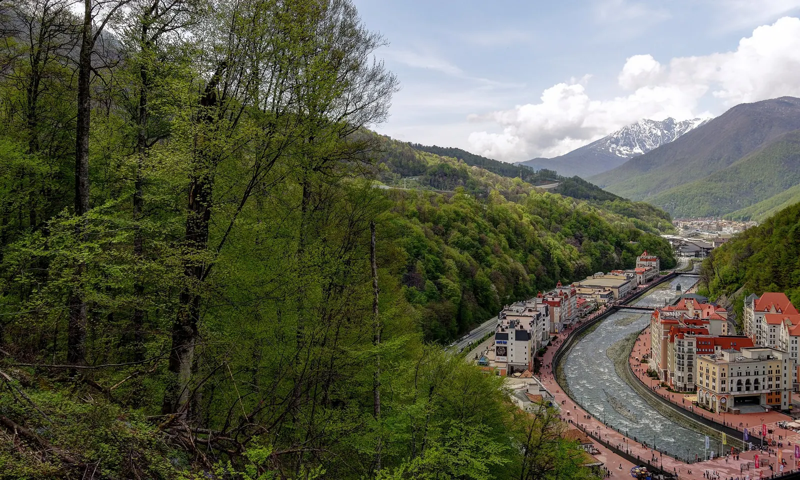
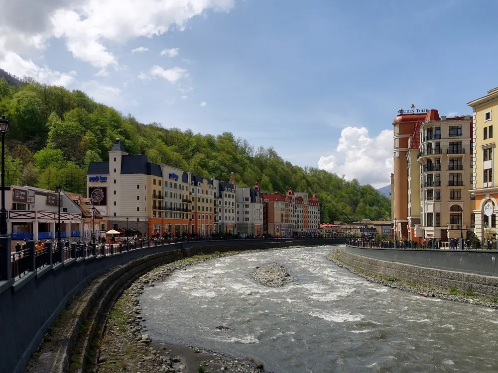
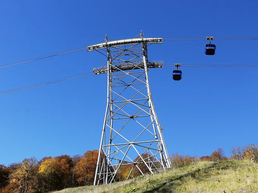
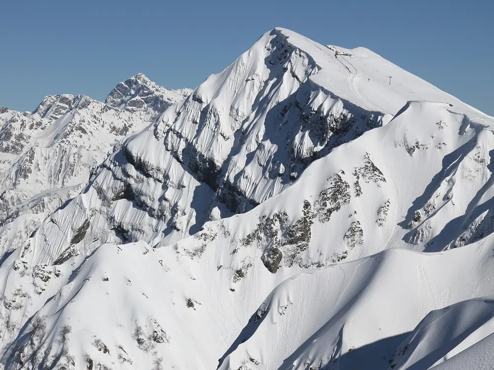
The Mzymta river winding through Rosa Khutor below green forested slopes and a snowy peak

Photos: Alexxx1979 (CC BY-SA 4.0), Alexxx1979 (CC BY-SA 4.0), SKas (CC BY-SA 4.0), SKas (CC BY-SA 4.0)

Distance
98.4 km, Rosa Khutor and Old Krasnopolyanskoye Road loop
Climb
About 1,890 m on that loop
Sochi to Krasnaya Polyana
About 70 km
Season
May to November

Why go

Krasnaya Polyana, the mountain resort area in the Mzymta valley inland from Sochi, has the best mountain road riding in southern Russia, and its trails open to bikes in summer. Rosa Khutor alone has 13 bike routes and about 100 km of walking trails in Sochi National Park, and the coast is close enough to ride to.

The route

The big road day is the loop from Rosa Khutor down the valley and back up by the Old Krasnopolyanskoye Road, 98.4 km with about 1,890 m of climbing, mostly paved; a longer version from Sirius on the coast is 109 km with some sections where you may push. Shorter climbs start higher up: a 34.6 km loop from Esto-Sadok to the Alchurs viewpoint climbs about 980 m, and a 22.7 km loop from Krasnaya Polyana about 370 m. On the coast, a 45.7 km loop past the Fisht stadium climbs only about 300 m and is mostly paved.

When to go

The summer season at Rosa Khutor runs from May to November when the weather allows. July averages about 22 °C by day, August about 26 °C with highs over 30 °C, so early June is a good time to ride before the heat.

Getting there

Krasnaya Polyana is about 70 km from Sochi and Rosa Khutor about 75 km. Suburban trains run from Sochi station to Krasnaya Polyana in about 1 hour 20 minutes for 428 roubles, buses 105 and 105s take about 2 hours for 250 roubles, and a taxi costs about 3,000 to 4,000 roubles.

Permits and booking

No permit is needed for the public roads. Rosa Khutor's bike routes run in Sochi National Park, which sets its own rules, so check before riding the trails. The UK warns that drone attacks can close airspace and airports at short notice.

How hard it is

Hard. The mountain loops need very good fitness, with long climbs and fast descents; the coastal loops are easy.

Where to sleep

Rosa Khutor's valley village, Roza Dolina at 540 m, and its mountain village, Gornaya Olimpiyskaya Derevnya at 1,100 m, both have bike rental and are the natural bases for the climbs.

Tips

  • Rent bikes at Roza Dolina or Gornaya Olimpiyskaya Derevnya.
  • Start early in July and August to beat the heat on the climbs.
10 / 10

The Samara Bend and the Zhiguli Hills

Samara Oblast

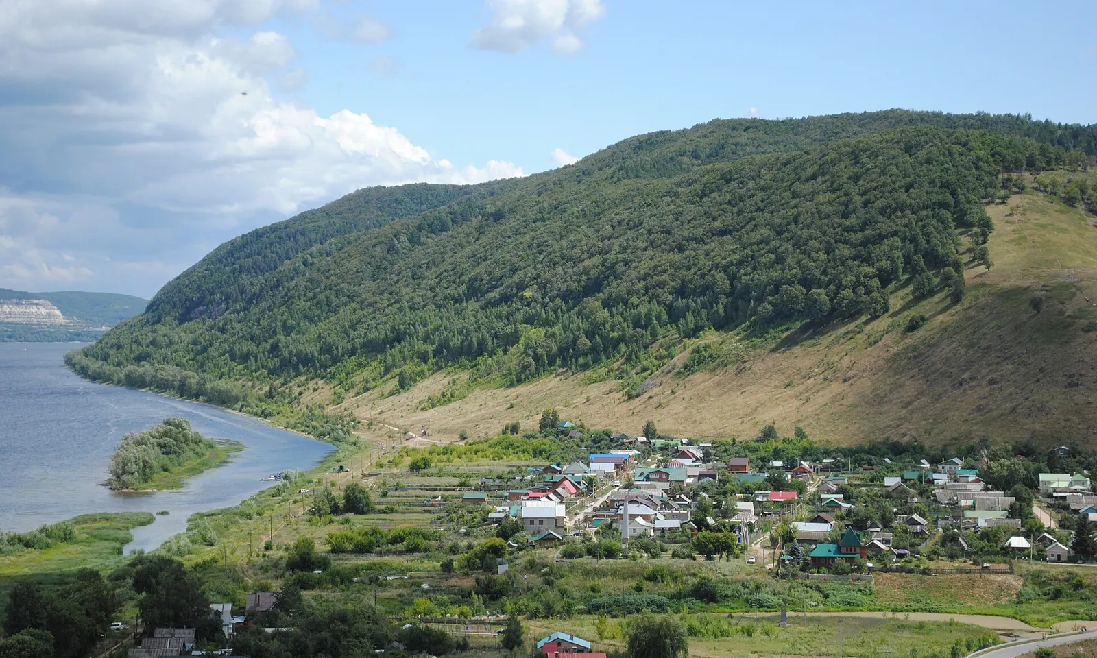
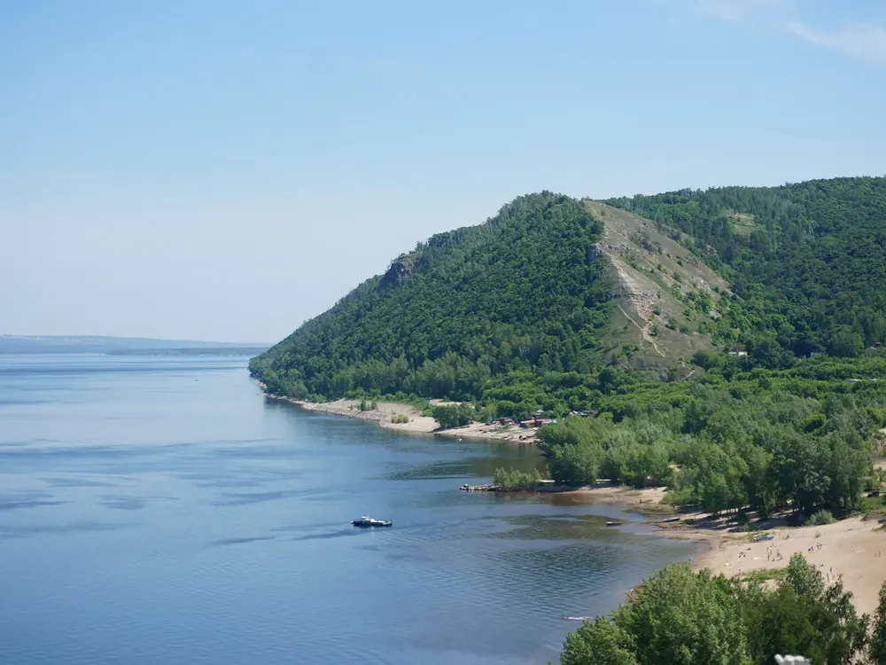
The wooded Zhiguli Hills rising above a village on the Volga

Photos: Diana2400 (CC BY 4.0), ShinePhantom (CC BY-SA 4.0), Panoramio, Contributor "Akihito063" (CC BY 3.0), ShinePhantom (CC BY-SA 3.0)

Distance
67.8 km, Shiryaevo and Zhiguli Gate loop
Climb
About 510 m on that loop
Hills
About 75 km long, up to 381 m
Park ticket
100 roubles a route

Why go

At the Samara Bend the Volga swings round the Zhiguli Hills, a wooded ridge about 75 km long that rises up to 381 m. The area has been a national park since 1984, 131,900 hectares, and since 2006 part of a UNESCO biosphere reserve. Paved loops link the river villages with views from the hills, and the yearly Samarskaya Luka bike marathon brings hundreds of riders on road and off road.

The route

The loop from Shiryaevo through the Zhiguli Gate rock arch is 67.8 km with about 510 m of climbing, mostly paved; a longer loop from Alabinskaya is 96.7 km with about 660 m. The park also has a marked cycle route from Gavrilova Polyana to Verblyud mountain and Shiryaevo, served by a checkpoint near Tornovoe. Off the bike, Shiryaevo has the Repin house museum, old mine galleries and the viewpoint on Popova mountain, and Molodetsky Kurgan, a 243 m hill tied to legends of Stepan Razin, takes one to two hours to climb.

When to go

Summer is the main season, for riding and for swimming in the Volga. The Samarskaya Luka eco marathon finishes in Shiryaevo in October.

Getting there

Fly or take a train to Samara; trains from Moscow's Kazansky station take 14 to 18 hours. Buses run from Samara's central bus station to Tolyatti or Zhigulyovsk in about 2 hours for about 300 roubles. Bikes can come by river transport from Samara or Tolyatti, and in summer a cargo ferry crosses from Samara to Podgory.

Permits and booking

The park sells tickets per route: 100 roubles for most routes, 150 for Kamennaya Chasha, or 1,500 roubles for a month. Rangers check tickets and fine those without one 1,500 roubles. Buy online at npsamluka.ru, at checkpoints or at visitor centres. One ticket covers Shiryaevo's mines, Verblyud and Popova mountains.

How hard it is

Hard on the long loops, with repeated short climbs over the hills; the river roads are easier.

Where to sleep

You can camp near Verblyud mountain or on the village beach at Shiryaevo, and at the campsite at Molodetsky Kurgan.

Tips

  • Buy park tickets online before you go, as signal is weak in parts of the park.
  • Allow a full day for Shiryaevo and its museums.

Sources

Distances, heights, seasons and permit rules were checked against these pages. Rules change, so check the park or trail authority before you go.