Rungs Labs

Rungs Pilgrimage · Cycling · Australia and New Zealand

The 10 Best Places to Cycle in Australia and New Zealand

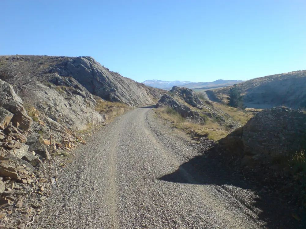
The Otago Central Rail Trail, Central Otago, New Zealand. Photo: Pseudopanax at English Wikipedia (Public domain)

New Zealand built a national network of Great Rides on old railways, gold miners' roads and lake shores, and Australia has alpine climbs, coastal roads, the forests of Tasmania and the Western Australian bush. These ten cover both countries: five in New Zealand, from Rotorua and the Old Ghost Road to Otago and the Mackenzie Country, and five in Australia, in Victoria, South Australia, Tasmania and Western Australia. They range from gentle rail trails to grade 4 single track and road climbs of more than 1,300 m.

None of them needs a permit, but huts, shuttles, seasons, trail closures and helmet laws all shape a trip. For each place you get the classic rides, the best season, how to get there, any rules or closures, how hard it is and where riders stay. Every fact comes from the trail trusts, park services, tourism bodies, race organisers and transport operators linked at the bottom of the page.

Updated 2026-10-18

  1. 01The Otago Central Rail TrailCentral Otago, New Zealand
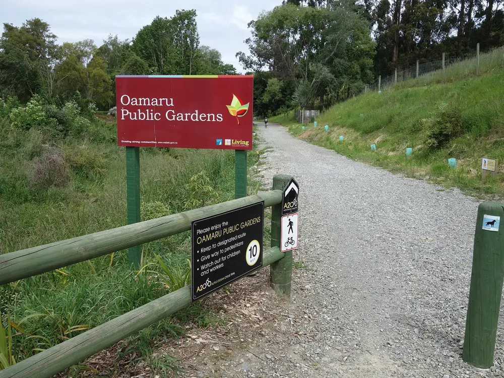
  2. 02The Alps 2 Ocean Cycle TrailMackenzie Country and the Waitaki Valley, South Island, New Zealand
  3. 03The Great Ocean RoadSurf Coast and Otways, Victoria, Australia
  4. 04The Old Ghost RoadBuller, West Coast, South Island, New Zealand
  5. 05Bright and the Victorian High CountryAlpine Victoria, Australia
  6. 06Rotorua and Whakarewarewa ForestRotorua, Bay of Plenty, North Island, New Zealand
  7. 07Blue DerbyDerby, north-east Tasmania, Australia
  8. 08The Queenstown TrailWakatipu Basin, Otago, South Island, New Zealand
  9. 09The Adelaide Hills and McLaren ValeAdelaide, South Australia
  10. 10The Munda Biddi TrailSouth-West Western Australia
01 / 10

The Otago Central Rail Trail

Central Otago, New Zealand
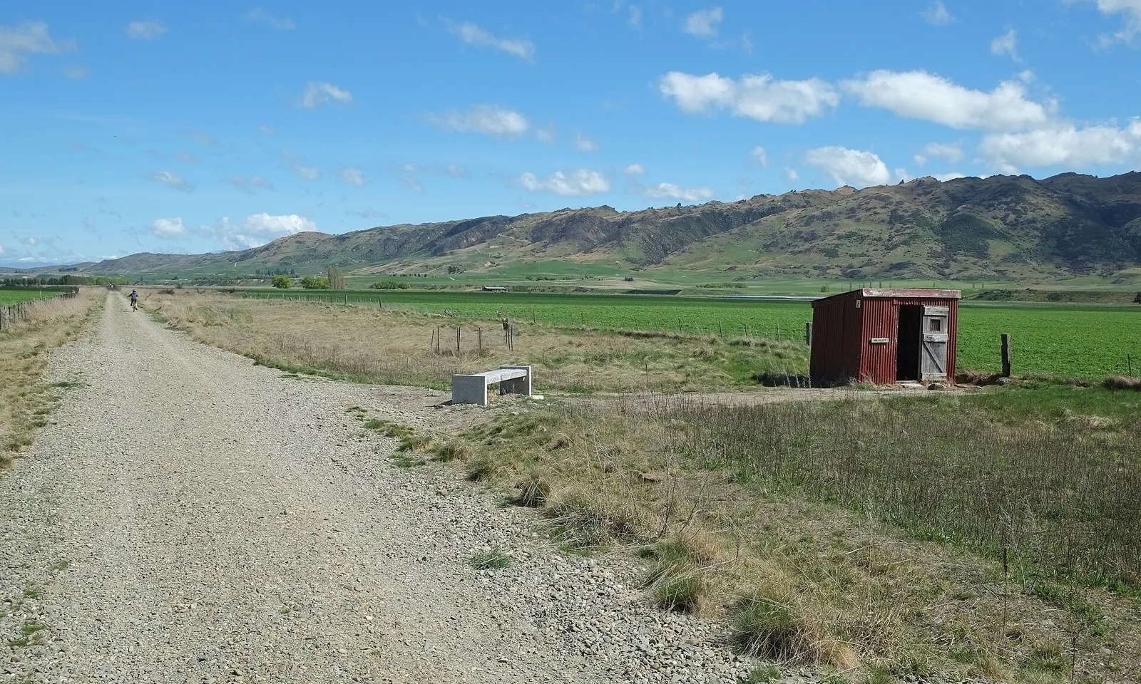
The gravel Otago Central Rail Trail running straight across the Ida Valley towards brown hills

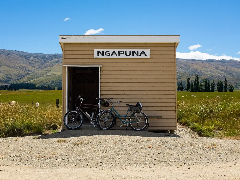
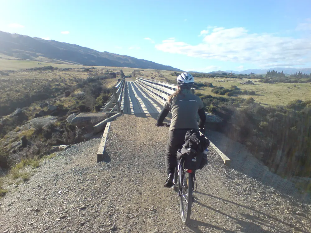
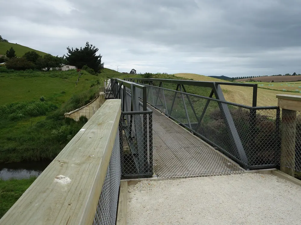
Photos: Pseudopanax at English Wikipedia (Public domain), Uploader. (Public domain), Cat Burston (CC BY 2.0), Ingolfson (CC0)

Distance
152 km, Clyde to Middlemarch
Time
3 to 5 days
Highest point
618 m, near Wedderburn
Grade
Grade 1, the easiest

Why go

The railway through Central Otago closed in 1990, and in 2000 it reopened as New Zealand's first rail trail, the ride that inspired the country's whole network of Great Rides. Because it was built for steam trains, the grades stay gentle while the land around it changes a great deal: schist gorges, wide tussock basins and old gold diggings, with country pubs in the small towns along the way.

The route

Most people ride from Clyde, past Alexandra and over Tiger Hill to Omakau, with a short detour to the old gold town of Ophir. Beyond Lauder the trail enters the Poolburn Gorge, where it passes through two tunnels cut into schist bluffs and crosses the 108 m Poolburn Viaduct. It then runs up the Ida Valley past Oturehua and Hayes Engineering Works to the high point near Wedderburn, before dropping across the Maniototo to Ranfurly, with its art deco buildings and restored station. The last stretch follows the Taieri River past the Tiroiti bridge and the bricked Prices Creek tunnel to Middlemarch. From Clyde, the more technical Alexandra 150th Anniversary River Track makes a loop with the trail for experienced riders.

When to go

The trail is open all year. Peak season runs from January to April, and autumn and spring usually bring the kindest riding. Summer days can pass 30°C with almost no shade, while winter brings frosts and snow, and many trail businesses close from mid May to early September.

Getting there

Queenstown and Dunedin airports are each about an hour's drive from the trail ends, and InterCity buses serve Alexandra and Clyde. From Dunedin, the Taieri Gorge train runs to Pukerangi, Thursday to Monday at 9:30am, and shuttles connect onward to Middlemarch. Bikes can be hired in Clyde, Alexandra, Omakau, Ranfurly and Middlemarch.

Permits and booking

No permit or fee is needed to ride the trail. Walkers, cyclists, dogs and horses share it, e-bikes are allowed, and farm gates must be closed behind you. New Zealand law requires every cyclist on the road to wear an approved helmet, securely fastened. No 2026 closures were listed in October 2026, and the Poolburn section reopened in July 2025 after a closure.

How hard it is

The surface is unsealed but mostly compacted gravel, and the steepest section, Tiger Hill between Chatto Creek and Omakau, climbs at only 1 in 50. The real challenge is the wind, which can be gusty and strong and hard to predict. Expect four to five hours of riding a day on a three or four day trip.

Where to sleep

Riders stay in pubs, farmstays and lodges in the towns along the line. DOC runs two basic camping areas with toilets on the trail, and there are campgrounds in Middlemarch, Ranfurly, Omakau, Alexandra and Clyde.

Tips

  • Book beds, bike hire and shuttles early for January to April.
  • Carry a torch for the Poolburn tunnels and walk your bike through them.
  • Carry plenty of water in summer, since the trail has very little shade.
02 / 10

The Alps 2 Ocean Cycle Trail

Mackenzie Country and the Waitaki Valley, South Island, New Zealand

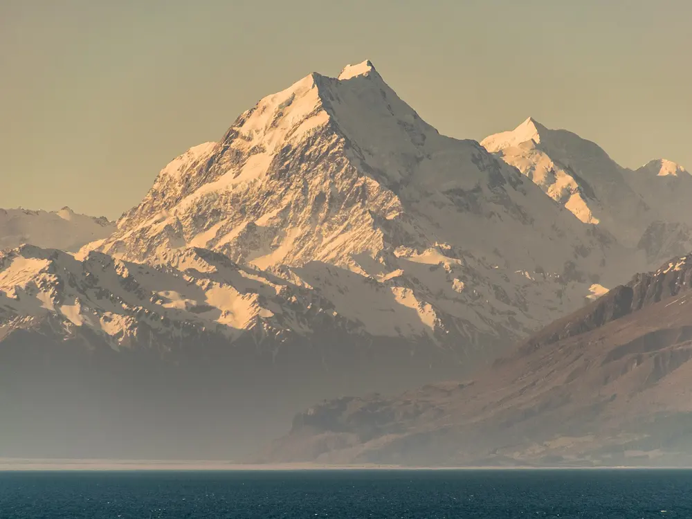
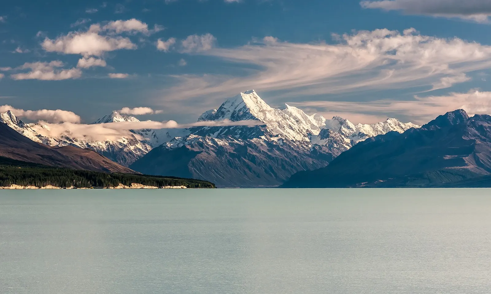
Aoraki/Mt Cook rising beyond Lake Pukaki under a wide sky

Photos: mhx from London, United Kingdom (CC BY-SA 2.0), Schwede66 (CC BY-SA 4.0), Schwede66 (CC BY-SA 4.0), Krzysztof Golik (CC BY-SA 4.0)

Distance
315 km, Aoraki/Mt Cook to Oamaru
Time
5 to 7 days for the whole trail
High point
Tarnbrae, about 900 m
Grade
2 to 3, easy to intermediate

Why go

This is the one ride in New Zealand that starts below the country's highest mountain and finishes at the sea. Aoraki/Mt Cook, at 3,754 m, fills the view for the first day as the trail follows the braided Tasman River to the milky blue of Lake Pukaki. From there it crosses the golden tussock of the Mackenzie Basin, runs beside hydro canals and lakes, and drops down the Waitaki Valley through wine country and limestone farmland to the Victorian stone warehouses of Oamaru. Wikipedia puts the start at about 780 m, so most of the way trends downhill.

The route

The trail is split into sections of 28 to 54 km. It begins at White Horse Hill Campground near Aoraki/Mt Cook Village, and after just over 7 km a short helicopter hop carries riders and bikes across the Tasman River; the alternative is a 54 km start from Lake Tekapo past the canals to Twizel. From Twizel the trail runs to Lake Ohau Lodge, then climbs 300 m over about 5 km to Tarnbrae, the high point, before descending towards Omarama. Beyond Omarama it follows Lake Benmore, crosses Benmore Dam, New Zealand's largest earth dam, and passes Aviemore and Waitaki dams to Kurow. The last day goes past Elephant Rocks, a field of limestone boulders, and along an old railway line into Oamaru.

When to go

Peak season is December to April, when trail services and beds need booking well ahead. Weather near the Southern Alps changes fast, and the trail has little shade in summer. Snow can make parts of it impassable in winter, and some accommodation closes then.

Getting there

Christchurch, Dunedin and Queenstown airports are each two to four hours' drive away. InterCity buses serve Tekapo, Aoraki/Mt Cook Village, Twizel, Omarama and Oamaru, and local shuttles cover the smaller places. Bike hire, shuttles and luggage transfers run from Tekapo, Twizel, Omarama and Oamaru.

Permits and booking

No permit is needed to ride. The helicopter crossing of the Tasman River should be booked ahead and depends on the weather. Dogs are not allowed on the trail except on public roads and on the old railway line between Weston and the Waireka Saleyards, and horses are not allowed at all. E-bikes are permitted. Ohau Weir cannot be crossed when it is in flood, so check the trail website for alerts after rain.

How hard it is

The Great Rides network rates 78% of the trail easy and 22% intermediate. The hardest parts are the climb from Lake Ohau to Tarnbrae, the narrow lakeside trail to Benmore Dam with steep drop-offs, and the sections from Kurow to Oamaru. Surfaces range from canal paths and quiet roads to gravel bike track. A mountain bike suits it best, though touring and hybrid bikes with knobbly tyres cope.

Where to sleep

Lake Tekapo, Aoraki/Mt Cook Village, Twizel, Omarama, Otematata, Kurow and Oamaru all have accommodation on the trail, and Lake Ohau Lodge sits at the end of the third section. More rural places to stay are scattered near the route.

Tips

  • Carry food and water for each day, since long stretches have none and small towns may have only a dairy or cafe.
  • Soak in the outdoor hot tubs at Omarama after the climb from Lake Ohau.
03 / 10

The Great Ocean Road

Surf Coast and Otways, Victoria, Australia

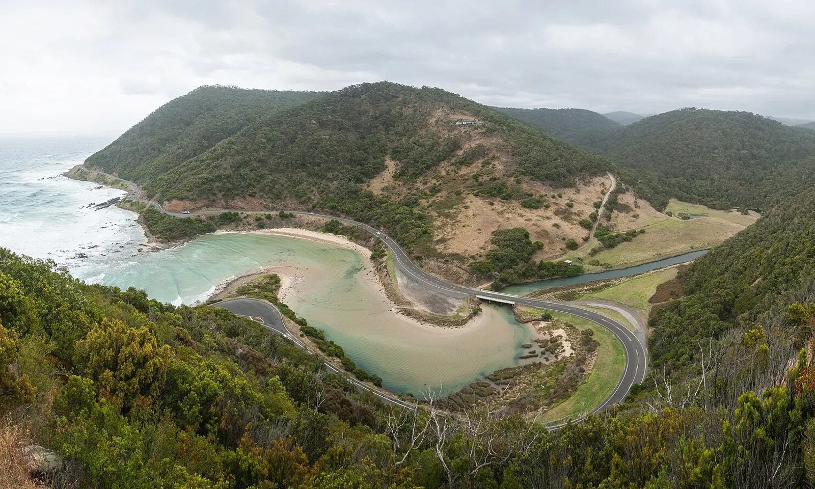
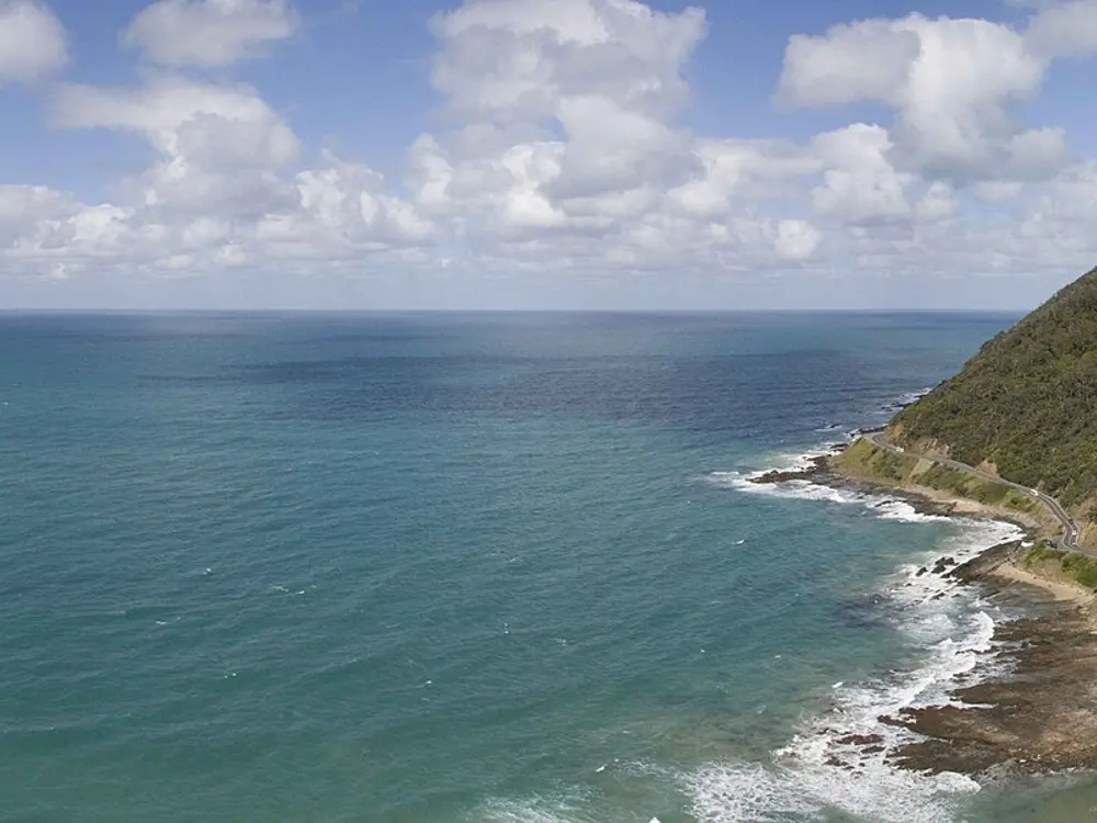
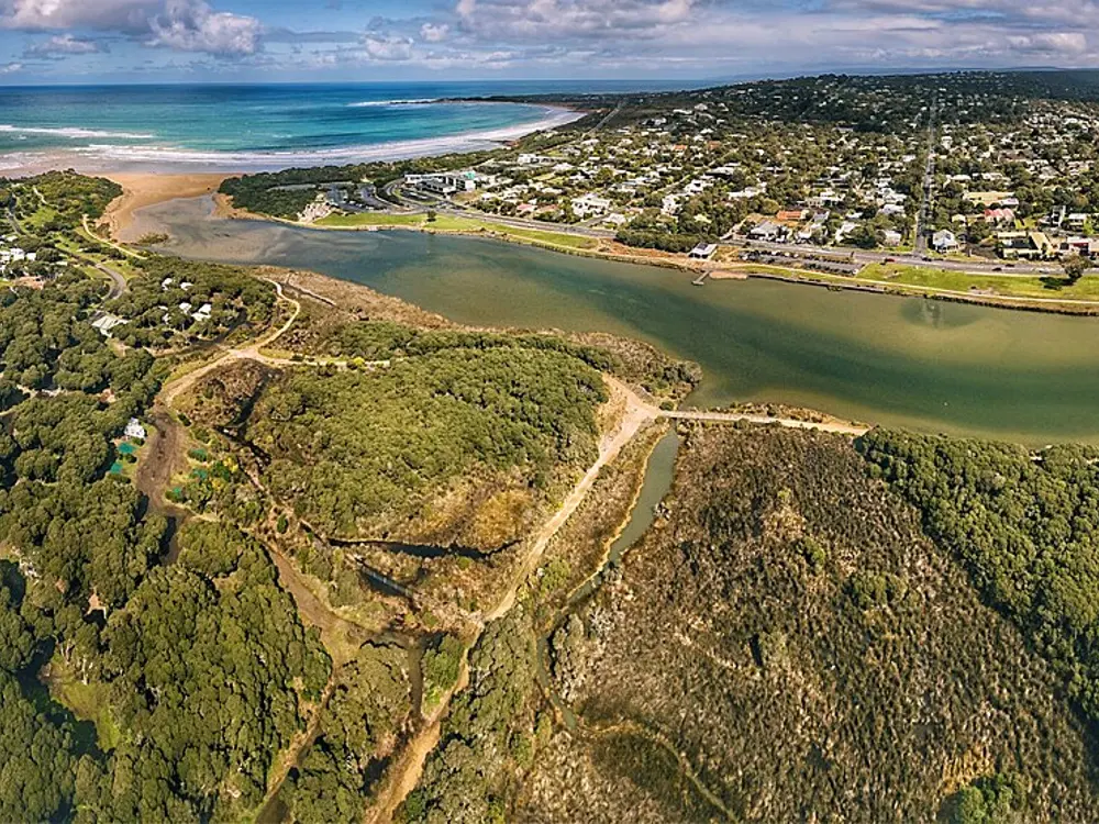
The Great Ocean Road curving around a river mouth below green hills near Lorne

Photos: Diliff (CC BY-SA 3.0), Bob Tan (CC BY-SA 4.0), Shuicai (CC BY-SA 3.0), Bob T (CC BY-SA 4.0)

Distance
Torquay to Lorne and back: about 90 km
Road length
240 km, Torquay to Allansford
Gran Fondo
122 km on closed roads from Lorne
Next big rides
Cadel Evans race 27 to 31 Jan 2027; Amy's Gran Fondo 12 Sep 2027

Why go

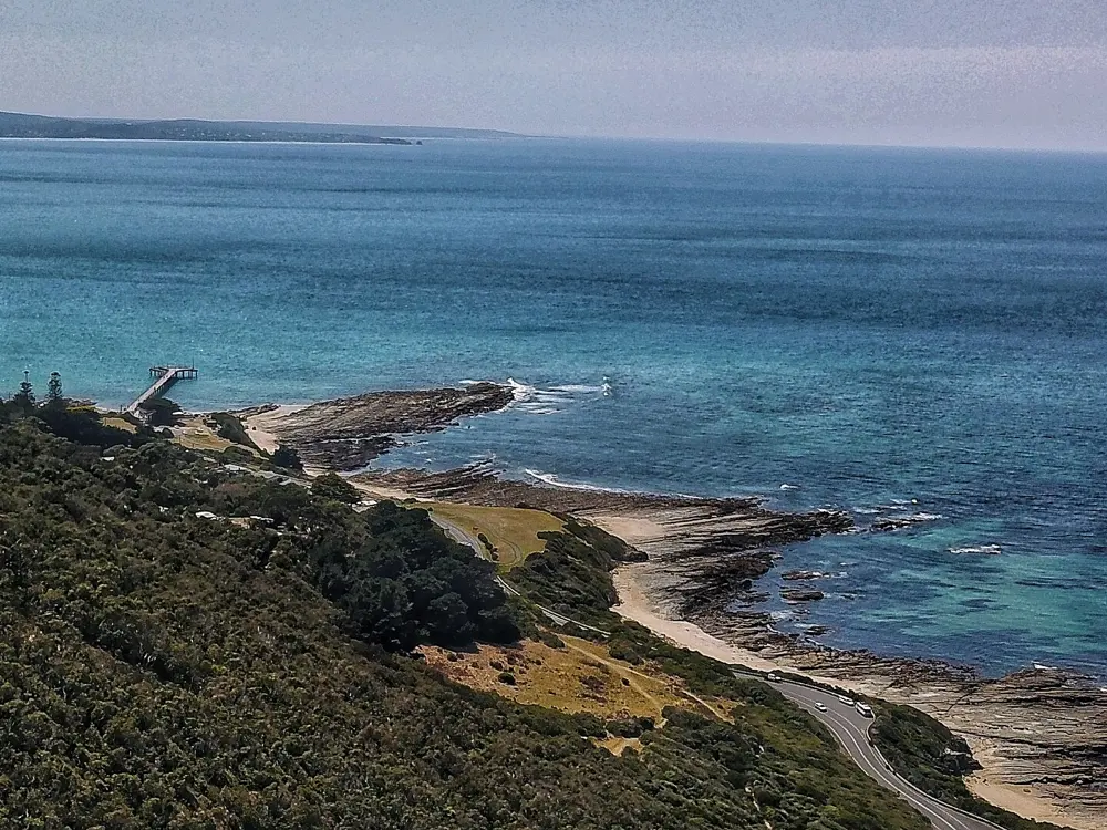
The Great Ocean Road was built by soldiers back from the First World War between 1919 and 1932 and dedicated to those who died, which makes it the largest war memorial in the world. It is National Heritage listed, and much of it is cut into the cliffs above Bass Strait and the Southern Ocean, through the surf towns of the Surf Coast and the rainforest of the Otway Ranges. For riders it is Australia's best known coastal road, and the home of the Cadel Evans Great Ocean Road Race, a UCI WorldTour one-day classic.

The route

The road runs westward from Torquay through Anglesea, Aireys Inlet, Lorne, Wye River, Kennett River and Apollo Bay, then past Cape Otway to Port Campbell, the Twelve Apostles and Loch Ard Gorge on the Shipwreck Coast. The classic ride, suggested by the Cadel Evans race organisers, is Torquay to Lorne and back, about 90 km. For 45 km more, make a loop from Lorne by turning onto Lorne Road and following the C151 inland to Moriac, then the C135 back to Torquay. Amy's Gran Fondo closes the road between Lorne and Apollo Bay each September: its full course is 122 km, there is a 90 km out and back, and a 45 km ride from Apollo Bay to Lorne.

When to go

The Cadel Evans Great Ocean Road Race festival runs from 27 to 31 January 2027, when the world's best riders race the Surf Coast. Amy's Gran Fondo returns to September in 2027, on Sunday 12 September. Outside those weekends, ride early in the day, before the coast road fills with tourist traffic.

Getting there

V/Line trains run from Melbourne to Geelong and carry bikes when there is space, at the conductor's discretion. Torquay, the start of the road, is close to Geelong. V/Line coaches on the coast do not carry full-size bikes, only folding bikes in a bag, so plan to ride or arrange your own transport back.

Permits and booking

No permit is needed. Victorian law requires everyone riding a bicycle, including an e-bike, to wear an approved helmet, and riders can be fined for not doing so. The road is two lanes, one each way, with speed limits between 50 and 100 km/h, and signs warn of rockfalls along the cliffs, so ride single file where it narrows. Check VicTraffic for closures before you go.

How hard it is

The coast road rolls rather than climbs, with short rises between bays and long exposed stretches where wind can be strong. The traffic is the main challenge: it is one of Victoria's busiest tourist roads, with sheer cliffs on the seaward side near Torquay. The inland return via Moriac adds more climbing and quieter roads.

Where to sleep

Torquay, Anglesea, Aireys Inlet, Lorne, Wye River and Apollo Bay all have holiday rentals, apartments and hotels. Lorne is a popular base for riders, close to the race course and the start of the Gran Fondo.

Tips

  • Enter Amy's Gran Fondo to ride the coast road with no cars on it.
  • Watch the Cadel Evans race from the Torquay Esplanade, where the riders contest an intermediate sprint before turning onto the Great Ocean Road.
04 / 10

The Old Ghost Road

Buller, West Coast, South Island, New Zealand

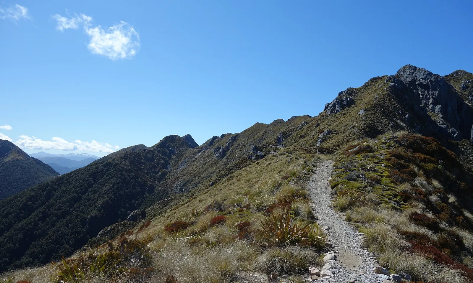
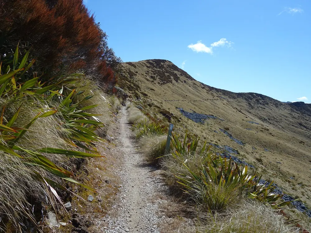
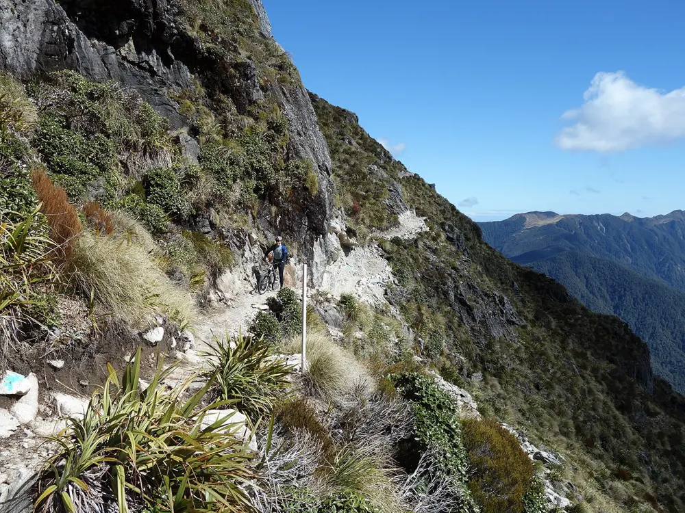
Single track running along a bare ridge of the Lyell Range on the Old Ghost Road

Photos: Schwede66 (CC BY-SA 4.0), Schwede66 (CC BY-SA 4.0), Schwede66 (CC BY-SA 4.0), Schwede66 (CC BY-SA 4.0)

Distance
85 km, Lyell to Seddonville
Time
2 to 4 days
High point
1,280 m, on the Lyell Range
Grade
4, advanced, with short grade 5 sections

Why go

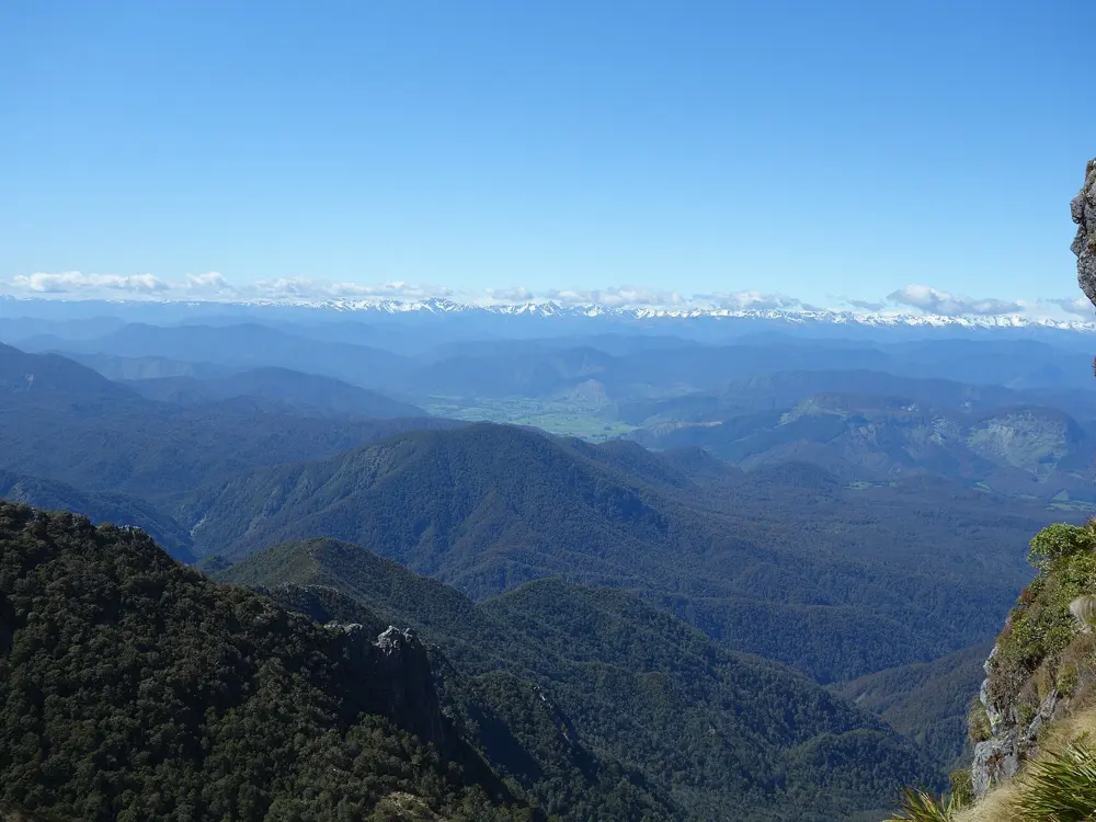
In the 1870s and 1880s miners began a road between the gold town of Lyell in the Buller Gorge and the Mokihinui River, working from both ends, but the gold rushes ended and the road was never joined. More than a century later a volunteer trust cut the missing link: 85 km of single track through forest, open tussock tops, earthquake rubble and river gorge, past four ghost towns. It is hard and remote, and its huts sit in some of the best spots on the West Coast.

The route

Ride it south to north, as the trust recommends, because 4 km north of Ghost Lake is far easier to descend than to climb. From the Lyell Historic Reserve on State Highway 6 the old dray road climbs 765 m through forest to Lyell Saddle Hut at 875 m. The trail then breaks onto the Lyell Range, crossing the face of Mt Montgomery near the 1,280 m high point, before dropping to Ghost Lake Hut and a 4 km run of rock gardens to Skyline Ridge and the Stern Valley. Next comes the Boneyard, a field of rock shattered by earthquakes, then the Mokihinui River through podocarp forest to Specimen Point Hut, and a last 17 km through the Mokihinui Gorge to Seddonville. Day riders can ride in and out: 36 km return to Lyell Saddle, or 34 km to Specimen Point.

When to go

The trail is open all year, but heavy rain, cold and snow can hit the high sections even in summer. Peak season is October to April, when huts fill quickly. Summer sleepouts at the huts are open only from September to May.

Getting there

Westport is the hub town, with an airport and InterCity buses. Both trailheads are about 45 minutes' drive from Westport and about an hour and a half from each other, and local shuttle companies run drop-offs, pick-ups and car relocation. Nelson, Blenheim and Hokitika airports are within three hours' drive, and Christchurch about five.

Permits and booking

No permit is needed, but the four main huts, their sleepouts and tent sites must be booked online in advance, and walk-up beds are unlikely in peak season. Goat Creek and Mokihinui Forks huts are basic DOC huts, unbookable and first come, first served. Dogs and horses are not allowed. E-mountain bikes are allowed with a warning: there is nowhere to charge on the trail, and they may need carrying. Check the trail status page before setting off.

How hard it is

This is a grade 4 trail: long steep climbs, track only 400 to 600 mm wide in places, exposed edges and obstacles the size of a football. Between 30 and 34 km the trust warns that large sections are unrideable for all but the strongest riders. Irishman's Creek and Goat Creek have no bridge and can flood. Expect days of up to eight hours.

Where to sleep

Lyell Saddle Hut has 10 bunks, Ghost Lake Hut 18, Stern Valley Hut 10 and Specimen Point Hut 14, each with two summer sleepouts and one tent site. The huts have cooking gear, rainwater, composting toilets and an emergency phone that connects to the police. Westport is the place to stay before and after.

Tips

  • Carry a personal locator beacon, since there is almost no mobile coverage. Habitat Sports in Westport hires them.
  • Stock up on food in Westport and pack more than you plan to eat.
05 / 10

Bright and the Victorian High Country

Alpine Victoria, Australia

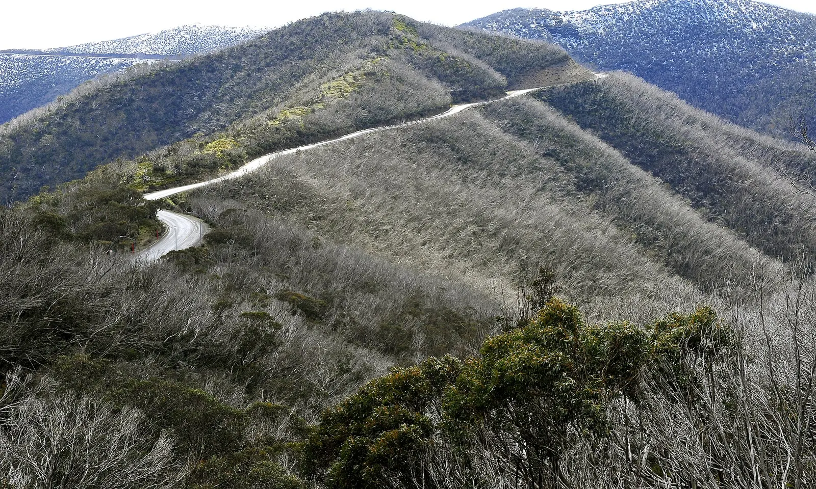
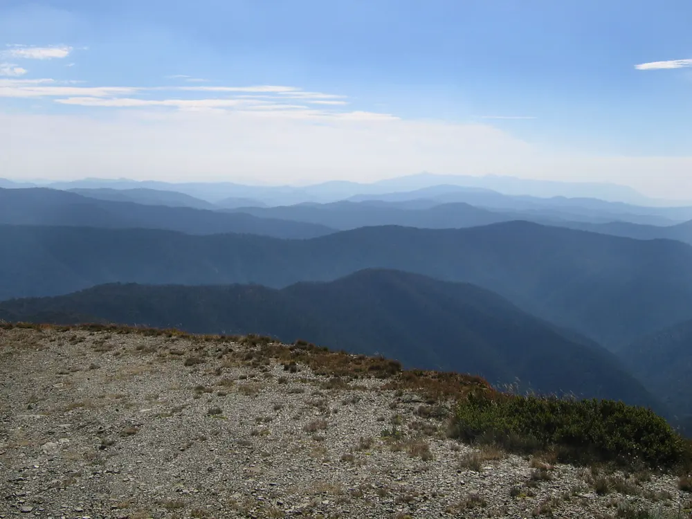
A mountain road winding along a ridge through the high country of the Alpine National Park

Photos: LBM1948 (CC BY-SA 4.0), Taken by John O'Neill This image has been released for use worldwide under the licensing specified below. If you require different licensing (e.g., for commercial publishing), or a larger or higher quality version of this image, it may be available from the author. You can contact the author by clicking here and leaving a message, or by sending me an email. (Public domain), LBM1948 (CC BY-SA 4.0), Taken by John O'Neill This image has been released for use worldwide under the licensing specified below. If you require different licensing (e.g., for commercial publishing), or a larger or higher quality version of this image, it may be available from the author. You can contact the author by clicking here and leaving a message, or by sending me an email. (Public domain)

Distance
Harrietville to Mt Hotham: 32.4 km
Climb
1,347 m to Hotham, at 4% average
Seven Peaks
More than 7,000 m of climbing over 160 km
Peaks Challenge
235 km and 4,000+ m, Sunday 7 March 2027

Why go

The ski resorts of the Victorian Alps sit at the top of long, well-graded roads through tall gum forest, and in summer they become Australia's best mountain cycling. Bright, in the Ovens Valley, is the base: Mount Buffalo, Mt Hotham and Falls Creek all start within a short ride, and the Murray to Mountains Rail Trail brings riders in from Wangaratta on a sealed, off-road path. The resorts run the 7 Peaks Ride, a challenge you ride at your own pace to the top of seven alpine resorts, and each March Bicycle Network's Peaks Challenge links three of the big climbs in a single day.

The route

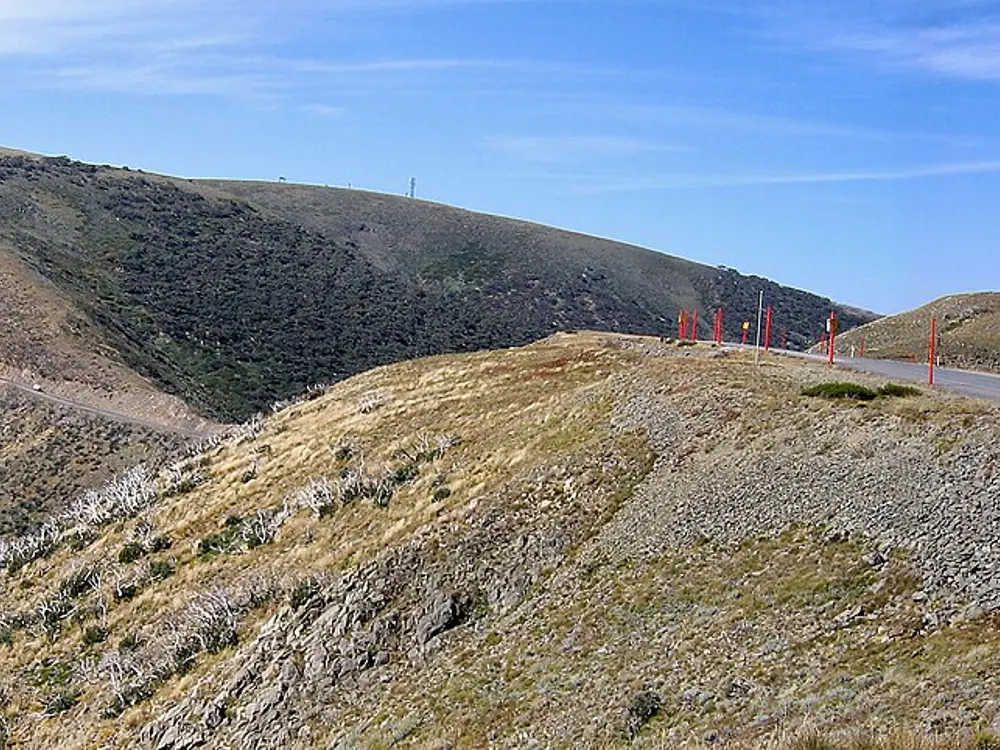
From Harrietville, the climb up the Great Alpine Road to Mt Hotham is 32.4 km with 1,347 m of rise, an average of 4% and a maximum of 18%, with Mt Feathertop and Mount Buffalo in view at the top. Falls Creek is 29.5 km from Mount Beauty up the Bogong High Plains Road, past Bogong Village and Howmans Gap, climbing 1,129 m at 4% average and 10% at most. Mount Buffalo rises 1,015 m in 20.4 km from the national park entrance at Porepunkah to the stairs of the old Chalet, past granite tors and cliffs, at up to 11%. Dinner Plain is climbed from Omeo, 42.8 km and 943 m. The Peaks Challenge links Falls Creek, Tawonga Gap, Mt Hotham and Omeo in a 235 km loop with more than 4,000 m of climbing.

When to go

The 7 Peaks season runs from October to April: spring to train for the big summer events, summer to escape the heat of the valleys, and autumn to finish the season. Outside those months these are ski resorts. The next Peaks Challenge is on Sunday 7 March 2027, with a 13 hour time limit.

Getting there

V/Line trains carry bikes to Wangaratta when there is space, and the scheduled V/Line coach from Wangaratta to Bright is one of the few that takes full-size bikes, free and first come, first served. From Wangaratta the Murray to Mountains Rail Trail, a sealed off-road path, runs all the way to Bright.

Permits and booking

No permit is needed to ride the climbs, and the 7 Peaks Ride is done at your own pace. Victorian law requires an approved helmet on every bicycle and e-bike, and riders can be fined without one. These are open mountain roads shared with cars, so take the descents with care.

How hard it is

The climbs are long rather than savagely steep, mostly averaging 4 to 5%, but Hotham has ramps of 18% and its upper slopes are exposed. Weather at the top can be far colder than in Bright. The Peaks Challenge, at 235 km, is for strong, well prepared riders.

Where to sleep

Bright, Porepunkah, Harrietville and Mount Beauty sit at the foot of the climbs and have caravan parks, motels and holiday homes. Falls Creek, Mt Hotham and Dinner Plain have lodges open in summer.

Tips

  • Base yourself in Bright and ride a different climb each day.
  • Finish the Mount Buffalo climb at the Chalet stairs and walk to the gorge lookout.
06 / 10

Rotorua and Whakarewarewa Forest

Rotorua, Bay of Plenty, North Island, New Zealand

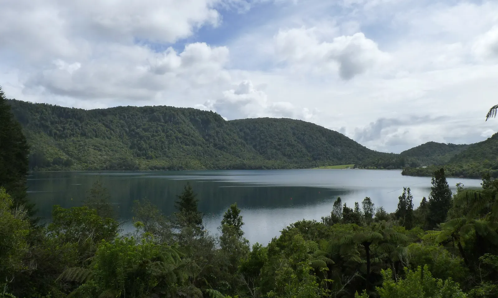
Lake Tikitapu, the Blue Lake, surrounded by forested hills near Rotorua

Photos: Michal Klajban (CC BY-SA 4.0), Panamitsu (CC BY-SA 4.0), Panamitsu (CC BY-SA 4.0), Panamitsu (CC BY-SA 4.0)

Distance
Forest Loop: 36 km
Trails
About 200 km in Whakarewarewa Forest
Forest Loop time
3 to 5 hours
Cost
Free to ride the forest trails

Why go

Rotorua is the mountain biking town of New Zealand, and Whakarewarewa Forest, the Redwoods, is ten minutes' drive from the centre. Its trails run through tall Californian coast redwoods, native forest that grew back after the 1886 Tarawera eruption buried the old one in ash, and pine plantations, with views over the volcanic lakes and steam rising from the ground. The free-draining pumice soil makes for the grippy riding locals call hero dirt, and the trails cover everything from a kids' loop to expert downhill. The local iwi landowners keep them free to ride.

The route

The Whakarewarewa Forest Loop, the newest of New Zealand's Great Rides, circles the forest on mostly easy trail. From Te Pūtake o Tawa, where five carved taonga tell the stories of Tūhourangi ancestors, it follows Feeder to Lake Tikitapu, the Blue Lake, and on to Lake Rotokākahi, then descends Baja to Te Ara Ahi, a path back to the Waipa hub. The last section passes a bubbling mud pool and climbs to views of Lake Rotorua. Beyond the loop, the Rotorua tourism board's favourites include the roller coaster of Te Poaka and the flowing Corners and Eagle from the top of the shuttle run. Crankworx, the international mountain bike festival, is held each March at Skyline Rotorua on Mount Ngongotahā.

When to go

The forest can be ridden all year and even at night: the volcanic soil drains fast, and the canopy shelters riders from summer sun and winter wind. Peak season is December to March. The 2026 Crankworx ran from 11 to 15 March, and the 2027 festival is set for 10 to 14 March.

Getting there

Rotorua Airport has domestic flights, and Auckland International Airport is under four hours' drive. InterCity buses serve the city. The Waipa car park is on State Highway 5 just south of town, Te Pūtake o Tawa on Tarawera Road, and you can ride from town to the forest on Te Ara Ahi.

Permits and booking

No permit or fee is needed to ride the forest trails. A few short sections of the Forest Loop are two-way and signposted, so expect riders coming the other way. Dogs are allowed on the loop on a lead, and horses are not. Lake Rotokākahi is private for cultural reasons, so stay off its shore. Check the Forest Loop's Facebook page for closures and detours.

How hard it is

The Great Rides network rates the Forest Loop 95% easy and 5% intermediate, on fine gravel and pumice with a couple of short climbs. Strong riders finish it in about two hours. The wider network is graded from easy to extreme, and several expert-only trails cross the easier climbs, so read the signs.

Where to sleep

Rotorua is one of New Zealand's main tourist towns and has every kind of accommodation, which is worth booking ahead for December to March. The Tikitapu campground at the Blue Lake sits right on the loop.

Tips

  • Hire a bike, including an e-mountain bike, at Waipa, at Te Pūtake o Tawa or in town, and buy the Whakarewarewa Forest trail map.
  • Save the rider first aid number, 0800 942 521, run by the Rotorua mountain bike clubs.
07 / 10

Blue Derby

Derby, north-east Tasmania, Australia

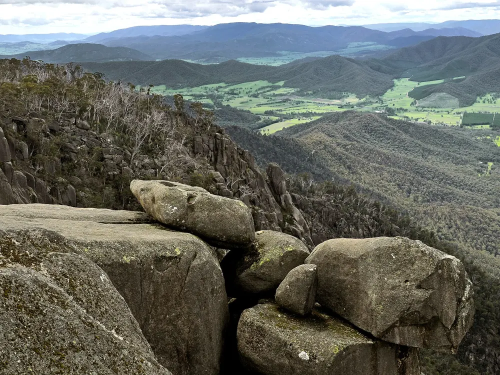
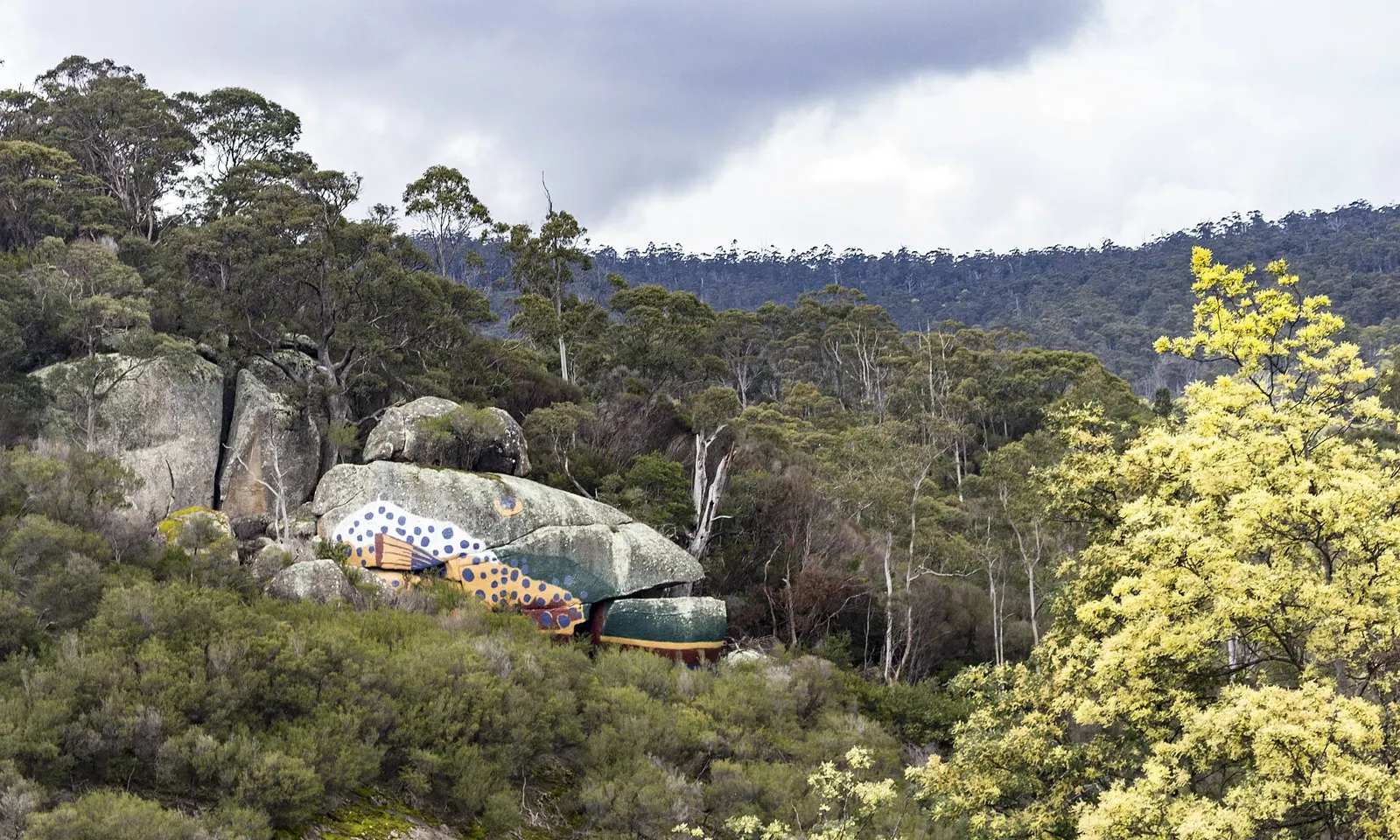
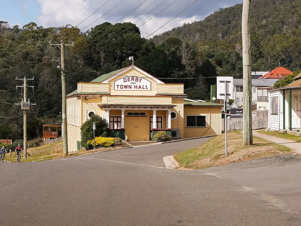
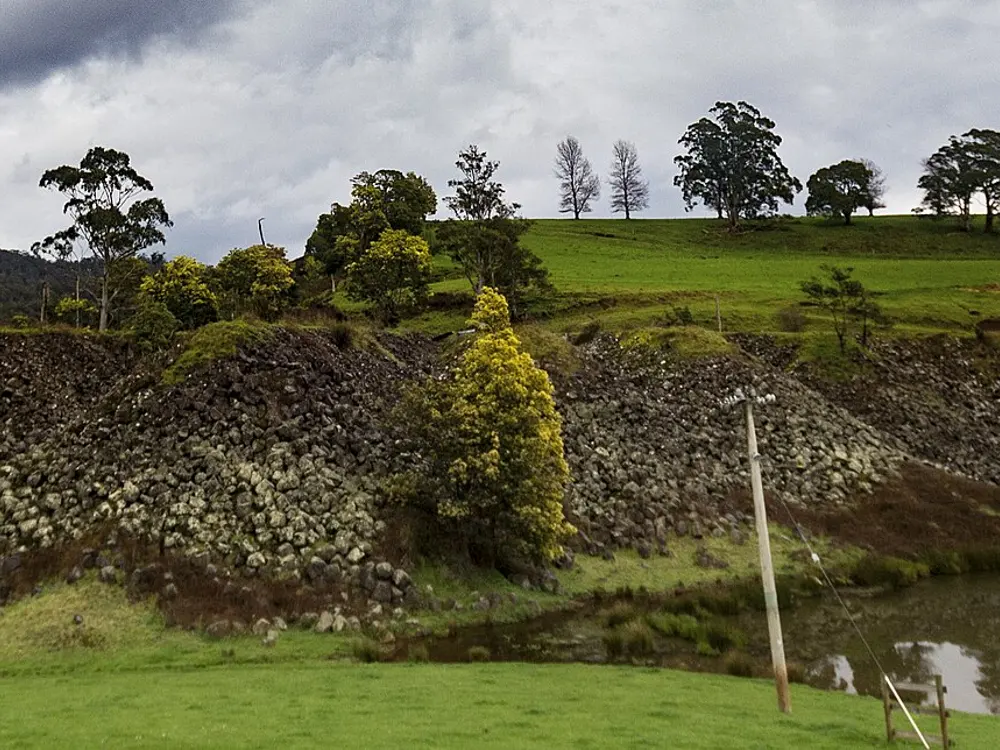
Granite boulders and eucalypt forest in the hills above Derby, Tasmania

Photos: Steven Penton from Bakers Beach, Tasmania Australia (CC BY 2.0), jacobharrisau (CC BY-SA 2.0), jacobharrisau (CC BY-SA 2.0), Steven Penton from Bakers Beach, Tasmania Australia (CC BY 2.0)

Distance
The Blue Tier: 22 km, +199 m / -346 m
Trails
Over 125 km of purpose-built single track
Cost
Free to ride all year
Best conditions
April to mid June, September to mid November

Why go

Derby was once home to one of the richest tin mines in the world, and when the mine closed for good in 1948 the town shrank from about 3,000 people to 173. In 2015 two councils opened the first 20 km of mountain bike trail here, built by the specialist company World Trail, and Derby has since become one of the best known mountain bike towns on earth, hosting the World Enduro Series in 2017, March 2019 and April 2023. The trails run through ancient myrtle beech forest thick with moss, over granite slabs and down long descents, and the whole network is in riding distance of the town.

The route

The Blue Tier is the classic: a 22 km intermediate trail in the Weldborough area with 199 m of climbing and 346 m of descent, taking one to four hours, which the trail managers call the quintessential Blue Derby experience. Around Derby itself, trails named for the mining days, among them Krushka's, Devilwolf and Dambusters, run from gentle climbing trails to technical descents, and an entry-level airflow trail starts at the Black Stump shuttle drop. Valley Ponds links the network to Branxholm. Around Weldborough, Little Chook is the easy introduction and Big Chook its tougher twin. Lake Derby, the flooded mine pit, now more than 125 m deep, sits in the middle of town.

When to go

The Derby network is open every day of the year and maintained daily. The trail managers say the best riding is from April to mid June and from September to mid November. The Blue Tier and Big Chook close each winter from July to late September and reopen in early spring, depending on the weather. DerbyFest was held on 17 and 18 October 2026.

Getting there

Launceston Airport is the nearest, with flights from Virgin Australia, Jetstar and Qantas, including direct services from Sydney and Melbourne; check your fare's baggage limit covers a bike box. The Spirit of Tasmania ferry sails between Melbourne and Devonport. From Launceston, the Tasman Highway via Scottsdale has tight corners, and the B81 via Lilydale is the gentler road for camper vans. The trail managers recommend a car for reaching attractions beyond the town.

Permits and booking

No permit or fee is needed: the Derby trails are free to ride all year. The trail managers ask riders who want to support maintenance to book their accommodation through the Blue Derby website, whose commissions fund the trail crew. Check the winter closure of the Blue Tier and Big Chook before planning a July to September trip.

How hard it is

The network has trails for every level, from green airflow trails to black technical descents over rock. The Blue Tier is rated intermediate but is long and remote. Climbing trails give access to the whole network, or a commercial shuttle runs riders to the Black Stump.

Where to sleep

Derby has cabins, lodges, eco pods, holiday houses and camping, and more beds are in Scottsdale, Weldborough, Bridport and Branxholm. Accommodation in Derby fills fast in peak periods, so book ahead.

Tips

  • Catch a shuttle to the Black Stump drop-off to save the climb and spend the day descending.
  • Most of Derby is within walking distance and the trails start from the town.
08 / 10

The Queenstown Trail

Wakatipu Basin, Otago, South Island, New Zealand

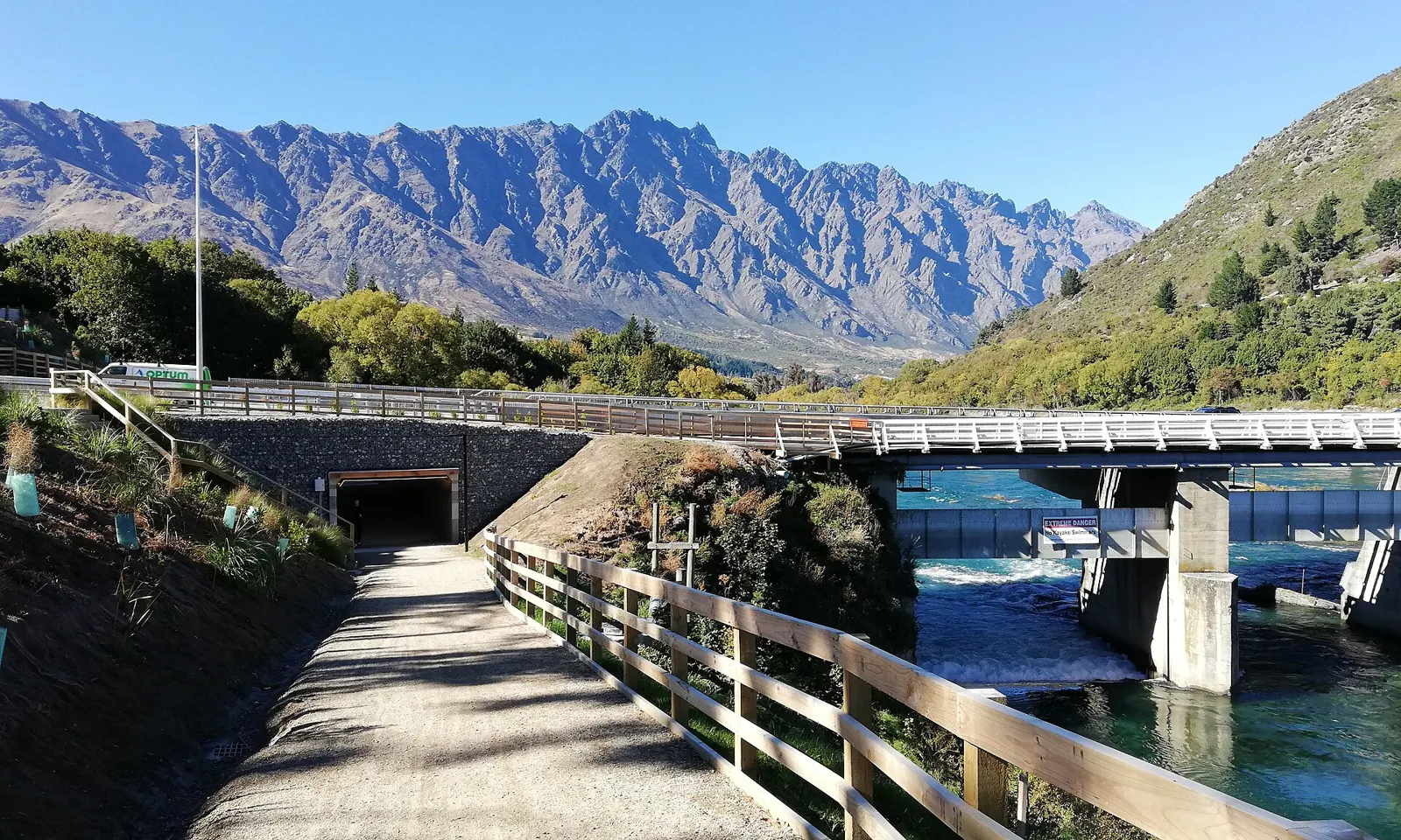
The Queenstown Trail beside the Kawarau Falls bridge at Frankton, with the Remarkables behind

Photos: André Richard Chalmers (CC BY-SA 4.0), André Richard Chalmers (CC BY-SA 3.0), Matthias Klappenbach (CC BY 2.0), André Richard Chalmers (CC BY-SA 4.0)

Distance
138 km of Great Ride trail
Time
1 to 4 days
Classic day
Queenstown to Gibbston, 40 km
Grade
Mostly 2 to 3, with a grade 4 at Jack's Point

Why go

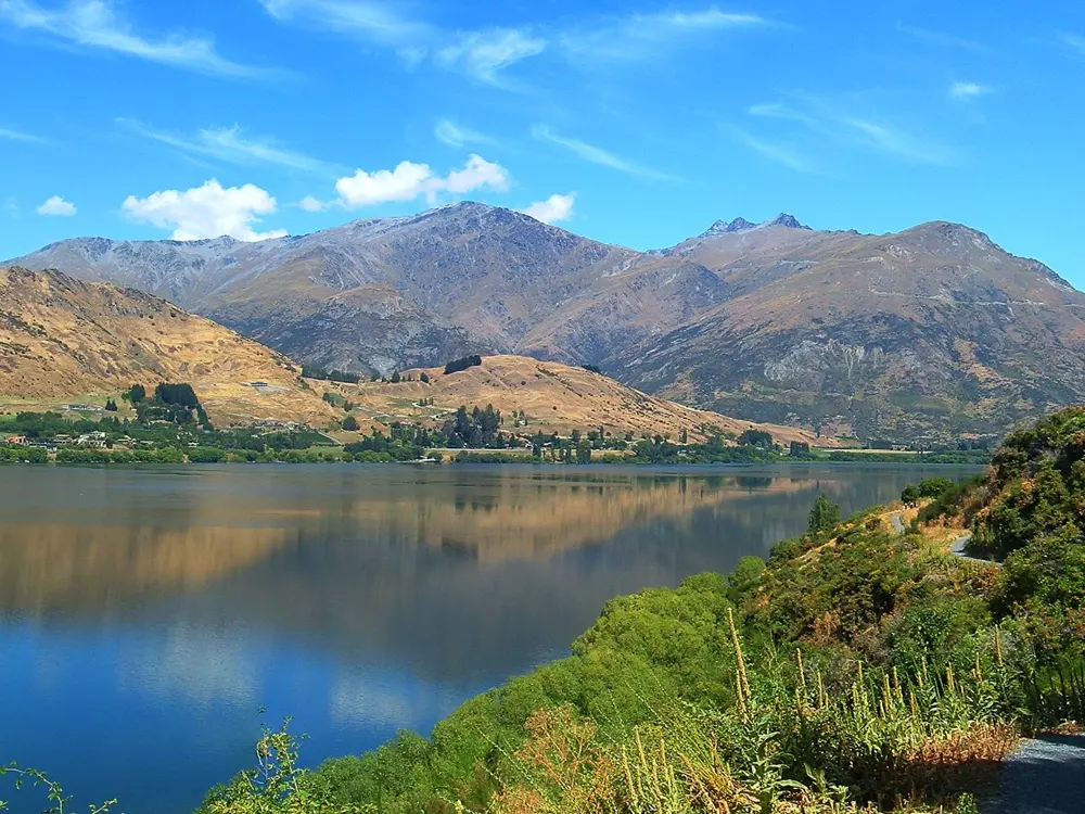
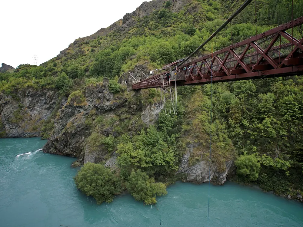
The Queenstown Trail links Queenstown, Arrowtown and the Gibbston Valley on lakeside paths, country lanes and purpose-built cycleway, with the Remarkables and the ranges around Lake Wakatipu always in view. It suits almost anyone, from families on the lakefront to strong riders linking the whole basin over several days, and it passes gold rush history, long suspension bridges, the Shotover Gorge and the first commercial bungy site at the Kawarau Bridge before ending among the cellar doors of Central Otago's best known wine valley.

The route

The network is a set of named trails that join into longer rides. The Frankton Track and Kelvin Peninsula Trail, 15 km and easy, follow the lake from the town gardens to the Kawarau Falls bridge and around a peninsula dotted with sculptures. From Arthurs Point the Shotover Gorge Trail passes through the old Hugo Tunnel. The Arrow River Bridges Trail, 16 km, leaves Arrowtown across a run of bridges, among them the 80 m Edgar Suspension Bridge, to the Kawarau Bridge, and the Gibbston River Trail continues 9 km past the wineries. The classic full day rides 40 km from Queenstown to Gibbston, with a shuttle back. Jack's Point Trail, 12 km and grade 4, is the hard option above the lake.

When to go

The trails are open all year, with golden autumn colour and snowy winter peaks the most striking seasons. Summer is hot and dry and winter icy, and conditions in the mountains change fast. December to April is peak season, when tours and shuttles should be booked ahead.

Getting there

Queenstown Airport sits near the middle of the trail network. InterCity buses serve Queenstown, and local buses and shuttles reach the smaller places, though shuttles run only to order. Bikes and e-bikes can be hired in Queenstown, Frankton, Arrowtown and Gibbston.

Permits and booking

No permit or fee is needed. In October 2026 the trail trust reported heavy rain damage across the network: the Coronet Loop Trail was closed until further notice, the northern bridge on the Lake Hayes Trail was closed, and Swain Bridge on the Arrow River Bridges Trail was closed for repairs with a signed detour. The Frankton Track follows a detour along the Frankton Road footpath throughout 2026. Dogs must be kept under control, and horses are allowed only on approved sections.

How hard it is

Surfaces are smooth, well kept gravel, mostly easy to intermediate, with steep sections and tight corners on the Shotover Gorge and Countryside trails and a longer climb over Slope Hill. Queenstown sits at the lowest point of the basin, so any ride from town involves climbing, and wind across the open basin matters. A front or full suspension mountain bike is recommended.

Where to sleep

Queenstown and Arrowtown both have a wide range of places to stay close to the trail, and there are more across the basin and in Gibbston, where beds are limited. Wanaka and Cromwell are within an hour's drive.

Tips

  • Check the trail conditions page before you ride, since rain damage closed several sections in 2026.
  • Book shuttles ahead, because none run to a timetable.
09 / 10

The Adelaide Hills and McLaren Vale

Adelaide, South Australia

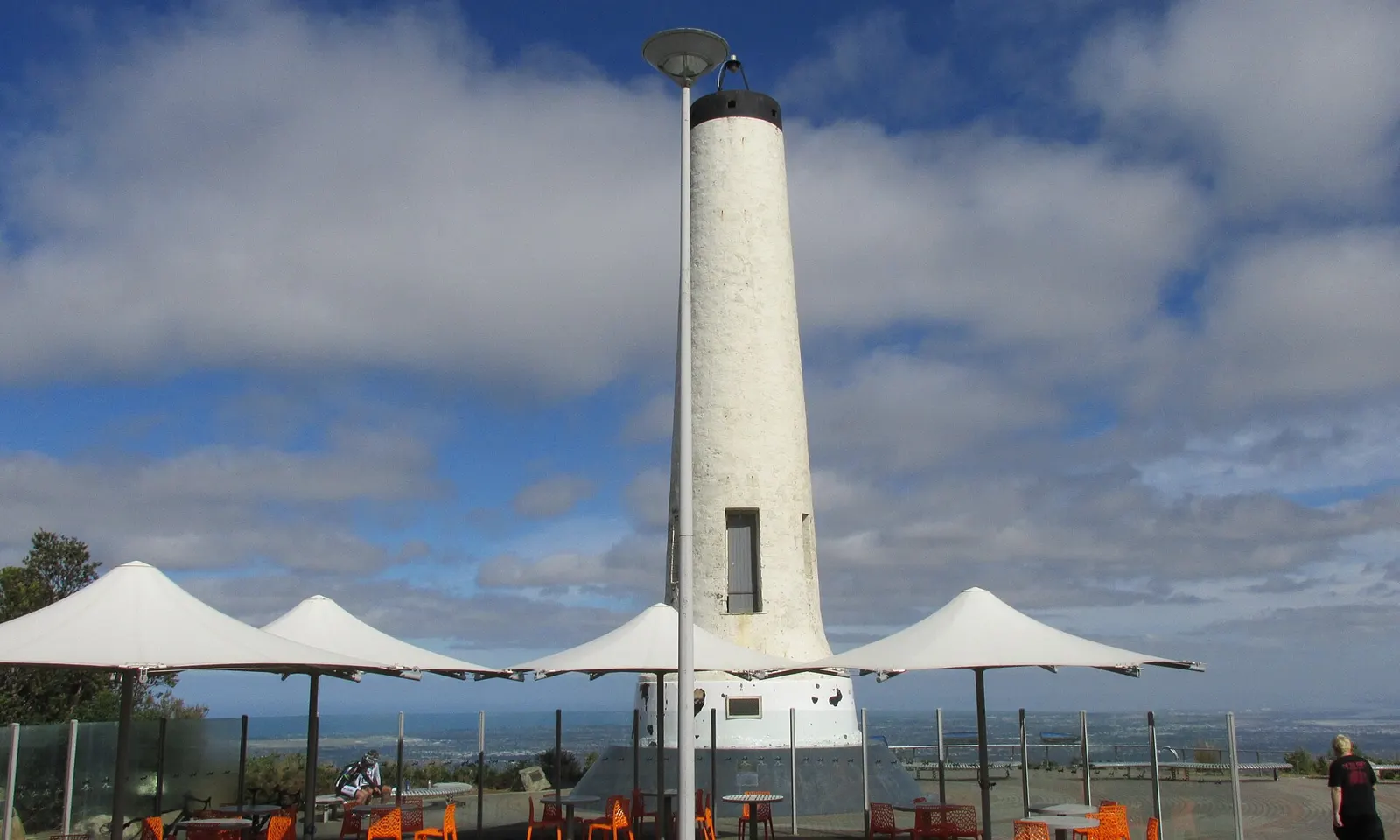
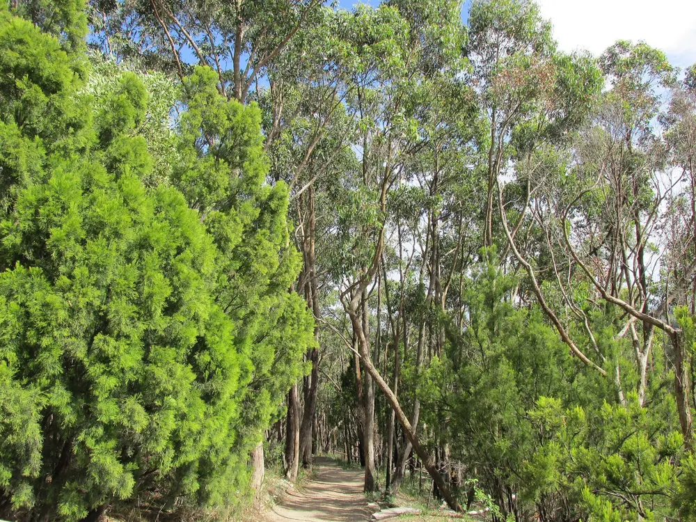
The Flinders Column at the summit of Mount Lofty above the Adelaide plains

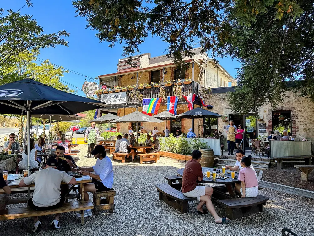
Photos: User:Orderinchaos (CC BY-SA 3.0), User:Orderinchaos (CC BY-SA 3.0), User:Orderinchaos (CC BY-SA 3.0), Uraidla Hotel (CC BY 4.0)

Distance
Adelaide to Old Willunga Hill loop: 117 km
Willunga Hill
3 km at 7.4%, up to 11%
Corkscrew Road
2.3 km at 9.2%
Tour Down Under
16 to 24 January 2027

Why go

Adelaide is the rare city where serious climbing starts at the edge of the suburbs. Roads climb from the eastern and southern suburbs through gum forest and orchards into the Mount Lofty Ranges, then run on through the wine villages of the Adelaide Hills and south to McLaren Vale. Every January the Santos Tour Down Under, a WorldTour stage race, uses these roads, and its trademark finish is Old Willunga Hill. The organisers say 2027 will be the longest and toughest edition on record, with men and women racing the same course on the same day over the same distance.

The route

Old Willunga Hill rises 3 km at an average of 7.4%, kicking up to 11%, above the vineyards of McLaren Vale; the 2026 race climbed it three times on its 176 km queen stage. Corkscrew Road at Montacute is shorter and steeper, 2.3 km at 9.2%. Local riders' favourites, from the Adelaide shop La Velocità, include Mt Osmond, about 2 km at 9% with views over the city, the descent of Norton Summit, Gorge Road out to Chain of Ponds and the long Greenhill Road descent back to town. Their big day is a 117 km loop with more than 2,000 m of climbing to Old Willunga Hill. For an easy day, the Amy Gillett Bikeway follows an old railway through the hills between Oakbank, Woodside and Mount Torrens, and in November 2025 the state government said it had been extended 5.7 km to Birdwood, making it 22 km long.

When to go

The Tour Down Under runs from 16 to 24 January 2027, when the hills fill with riders and roadside fans. Gorge Road can be busy with cars and motorbikes, so pick your times carefully there.

Getting there

Fly into Adelaide, where the climbs into the hills start from the city's eastern and southern suburbs, so there is no need for a car. La Velocità's Old Willunga Hill route rides there and back from the city, and Willunga and McLaren Vale make a base for the southern climbs.

Permits and booking

No permit is needed. South Australian law requires cyclists to wear an approved helmet, properly adjusted and fastened. Since October 2015 drivers have had to leave at least 1 m when passing a cyclist at 60 km/h or less and 1.5 m above 60 km/h, and may cross a dividing line to do so when it is safe. Check the Tour Down Under route before riding in race week, when stages use these roads.

How hard it is

The climbs are short, from 2 to 3 km, but steep, and they come one after another in the hills. The gravel of Blockers Road near Montacute finishes at 20% and is hard on tyres, and the descents of Mt Osmond and the Old Freeway bike path need care, including a tight hairpin on Mt Osmond.

Where to sleep

Stay in Adelaide to ride straight into the hills, or in Willunga and McLaren Vale to be close to the southern climbs. Hills towns such as Stirling, Woodside and Lobethal make good bases for the northern loops.

Tips

  • Watch the Tour Down Under's Willunga stage from the hill itself, where the crowds are biggest.
  • Stop at the bakery in Clarendon on the ride south.
10 / 10

The Munda Biddi Trail

South-West Western Australia

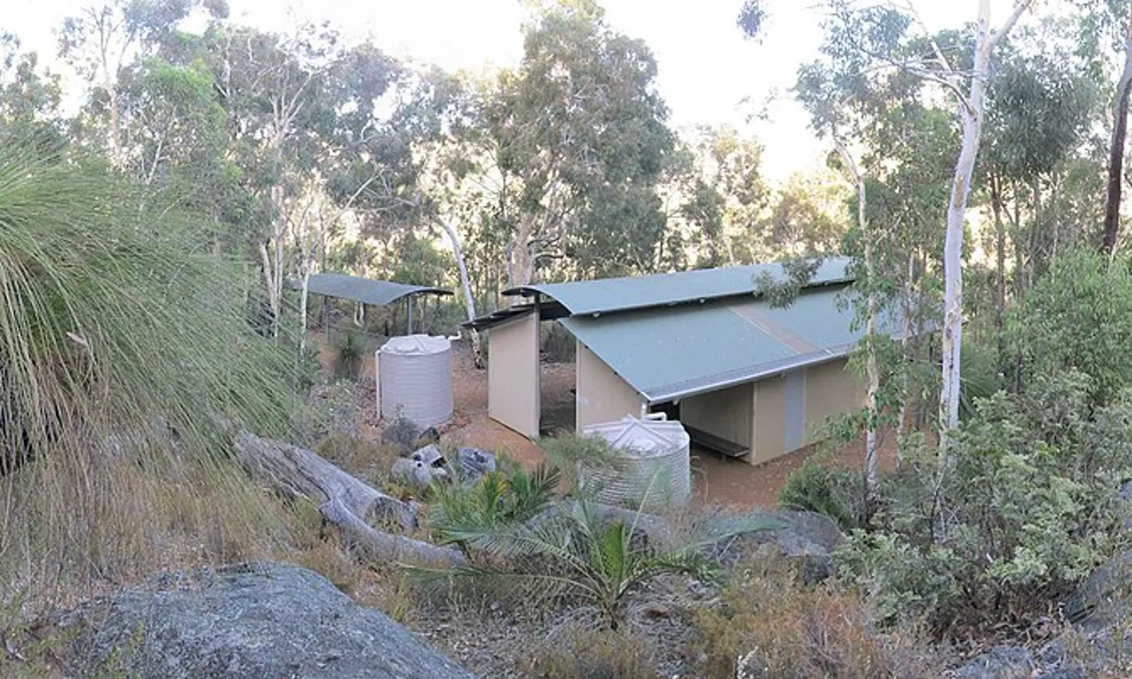
A Munda Biddi Trail shelter at the Dandalup campsite in the jarrah bush

Photos: steve_oz (CC BY-SA 3.0), Gypsy Denise (CC BY-SA 4.0), Dhx1 (CC0), Calistemon (CC BY-SA 4.0)

Distance
About 1,070 km, Mundaring to Albany
Shelters
12 campsites, every 40 to 60 km
Cost
Free to ride
Season
Late March to November; avoid December to February

Why go

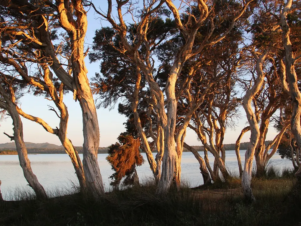
Munda Biddi means path through the forest in the Noongar language, and the trail lives up to it over more than 1,000 km of off-road riding, most of it far from motor traffic and busy highways. It runs from Mundaring in the hills east of Perth to Albany on the Southern Ocean, through jarrah and karri forest, past granite outcrops and wildflowers, across old rivers and through small timber and farming towns. South-West Western Australia is a global biodiversity hotspot, and the foundation that looks after the trail points out that there are few places on earth where a trail this long could be built through such an undeveloped natural corridor.

The route

The northern half, from Mundaring through the Darling Range to Manjimup, is mostly red pea gravel on forest roads, rail trail and single track, through towns such as Collie and Donnybrook, the apple capital of the South West. South of Manjimup the surface turns to loamy soil and fine white sand, through the tall karri country around Northcliffe and into Walpole-Nornalup National Park, where 10.3 km of new single track now runs east of Sappers Bridge. It ends in Albany. Most people ride sections, as day trips or trips of two days to a week; the foundation's easy day rides include 16 km from Myles Avenue to Lancaster Road through the Yarri campground.

When to go

The cycling window is generally late March to November. The foundation and the Parks and Wildlife Service strongly advise against riding from December to February, when the South West can have consecutive days over 35°C, and the northern jarrah forests over 40°C, with wildfire risk. Autumn is mild and drier, spring brings wildflowers and fewer riders, and winter is cool, wet and misty.

Getting there

Mundaring, the northern trailhead, is in the hills east of Perth, and many riders drive up from the city for a day ride. Many access points and road crossings make it easy to be dropped off and picked up for section rides. Albany is the southern end.

Permits and booking

No permit or fee is needed: the trail is a free resource, managed by the Parks and Wildlife Service (DBCA) with the Munda Biddi Trail Foundation. Diversions are common, and the original route stays closed until declared safe, so check the Parks and Wildlife Park Alerts and the Munda Biddi Trail Guide App before riding. A recent realignment near the Jarrahdale shooting range closed a section of single track, with replacement markers in place.

How hard it is

Easier sections suit beginners, but the foundation recommends some mountain bike or gravel experience. Expect fallen trees, pooled water, deep pea gravel, sand and coastal winds. Mobile reception is poor in places, so carry a personal locator beacon and a paper map.

Where to sleep

The 12 purpose-built campsites have Noongar names and offer a shelter with sleeping bunks, two water tanks, picnic tables, tent sites, a toilet and bike storage. The first ones south of Mundaring are Carinyah, Wungong and Dandalup. They have no fire pits, so carry a fuel stove. Between them, the trail towns have Biddi Friendly businesses offering beds, meals, transport and bike help.

Tips

  • Buy the official maps or the Trail Guide App, and load the GPX files onto your bike computer as a backup.
  • Stay in a trail town the night before you start, so you have time to reach the first campsite.

Sources

Distances, heights, seasons and permit rules were checked against these pages. Rules change, so check the park or trail authority before you go.