Rungs Labs

Rungs Pilgrimage · Cycling · India

The 10 Best Places to Cycle in India

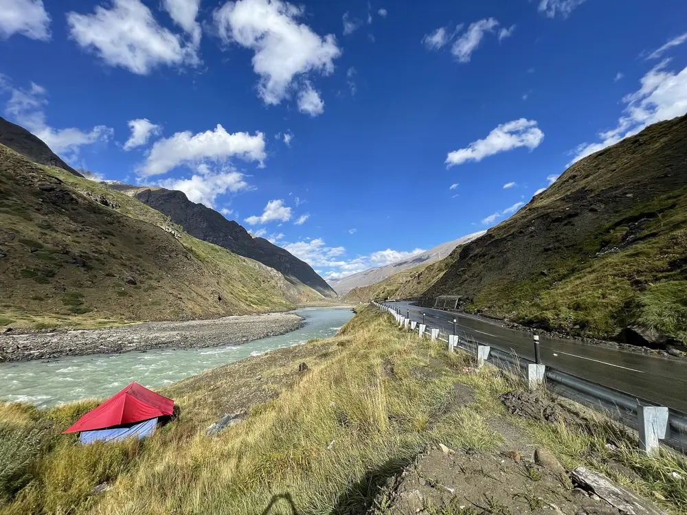
Manali to Leh, Himachal Pradesh and Ladakh. Photo: Vyacheslav Argenberg (CC BY 4.0)

India has the highest road passes most cyclists will ever ride, and a lot more besides. In the north, the Leh to Manali highway and the Spiti Valley cross passes above 4,500 m in a short summer season. In the south and west the riding is in the Western Ghats and along the coast, where winter is the season: tea country around Ooty and Munnar, the climbs above Bengaluru and Pune, the creeks of the Konkan and the flat East Coast Road. The Khasi Hills of Meghalaya and the Aravallis of Rajasthan complete the ten.

For each one you get the classic rides, the best season, how to get there, permits and road closures, how hard it is and where riders stay. Mountain roads in India close for snow, landslides and crowds, so we give the 2026 dates where they were published. Every fact comes from state tourism bodies, district and court orders, news reports, the organisers of rides and races, and the riders' accounts linked at the bottom of the page.

Updated 2026-10-20

  1. 01Manali to LehHimachal Pradesh and Ladakh
  2. 02The Spiti ValleyHimachal Pradesh
  3. 03The NilgirisTamil Nadu
  4. 04The Konkan coast, Mumbai to GoaMaharashtra and Goa
  5. 05Nandi HillsKarnataka
  6. 06Shillong to SohraMeghalaya
  7. 07Munnar and the High RangesKerala
  8. 08Udaipur, Kumbhalgarh and RanakpurRajasthan
  9. 09Sinhagad and the Pune ghatsMaharashtra
  10. 10The East Coast Road, Chennai to PuducherryTamil Nadu and Puducherry
01 / 10

Manali to Leh

Himachal Pradesh and Ladakh
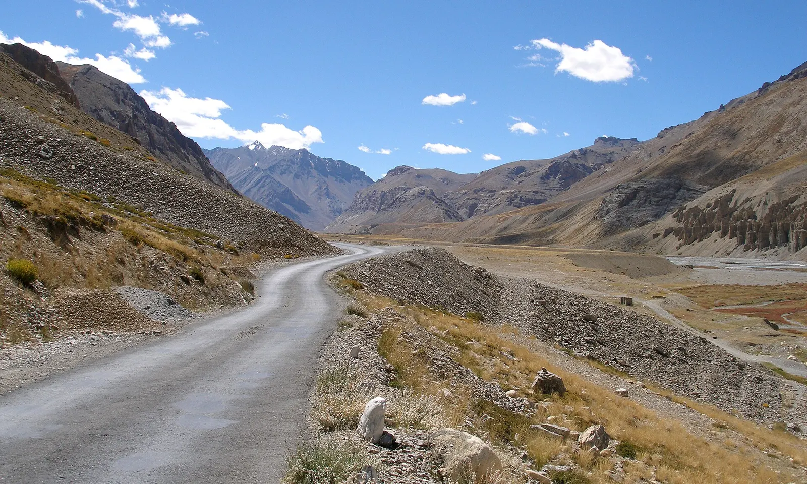
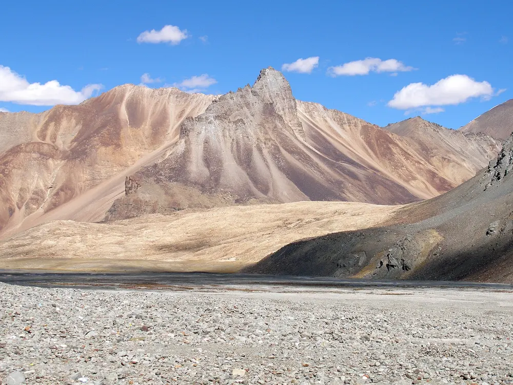
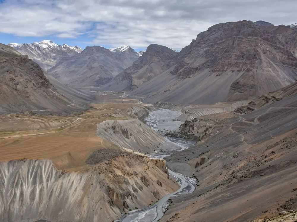
The Leh to Manali highway running as a pale ribbon up a dry valley in Ladakh

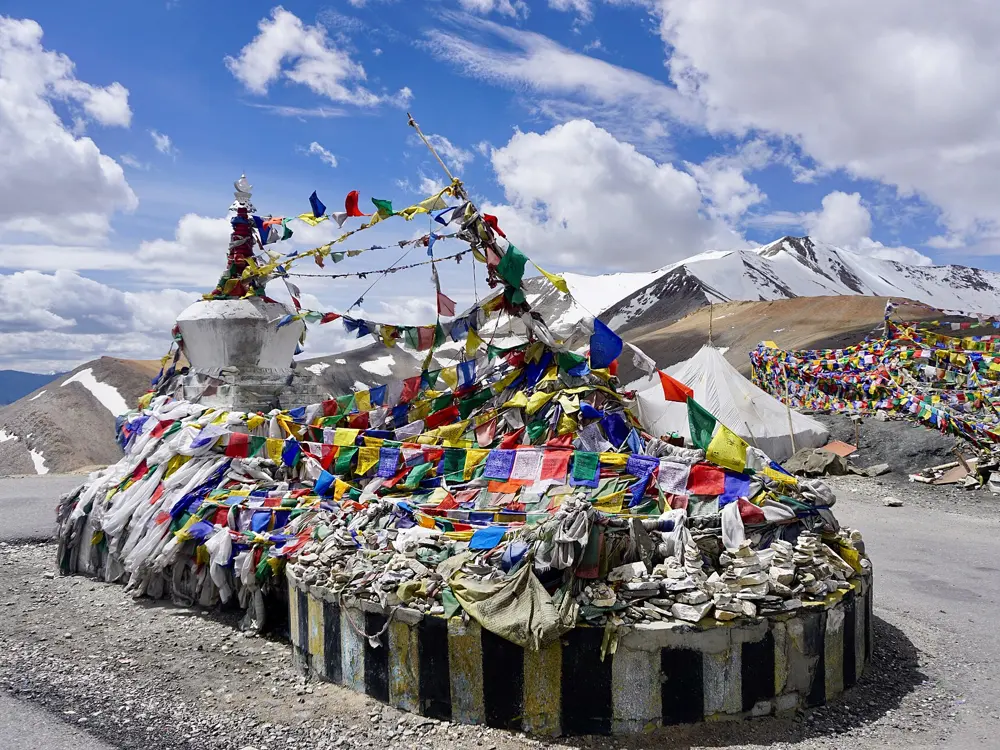
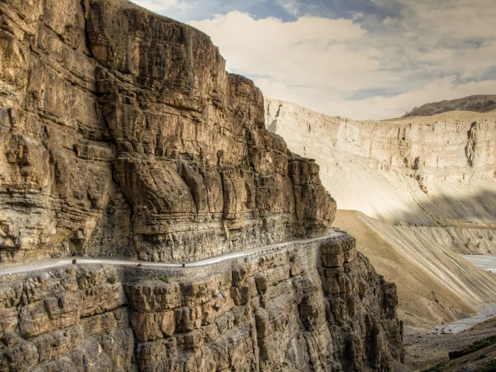
Photos: Vyacheslav Argenberg (CC BY 4.0), Tanvi.sharmaaa (CC BY-SA 4.0), Vyacheslav Argenberg (CC BY 4.0), Lianguanlun (CC BY 4.0)

Distance
428 km by road
Highest point
Tanglang La, 5,328 m
Other big passes
Baralacha La 4,850 m, Lachulung La 5,065 m
Open in 2026
From 14 May; snow shut the high passes on 15 October

Why go

The Leh to Manali highway is the great high-altitude road ride in India. It leaves the green valleys of Kullu and Lahaul and climbs onto the bare plateau of Ladakh. An Australian Geographic writer who rode it with a group described about 500 km with five high passes and more than 8,000 m of climbing, which he compared to riding from sea level to the top of Everest.

The route

From Manali at 2,050 m, the road now runs through the 9.02 km Atal Tunnel under the Rohtang Pass, open since October 2020, which shortens the Himachal section by about 45 km. The old road over Rohtang La, at 3,980 m, is the alternative. Beyond the tunnel you ride up the Bhaga valley to Keylong at 3,080 m and Darcha at 3,360 m, then over Baralacha La at 4,850 m and down to Sarchu at 4,200 m, on the border between Himachal Pradesh and Ladakh. The Gata Loops, 21 hairpins, lead up to Nakee La, then comes Lachulung La at 5,065 m and the drop to Pang at 4,650 m. The More Plains follow, then the last and highest pass, Tanglang La at 5,328 m, before the descent to Upshi and the Indus valley into Leh, at about 3,500 m.

When to go

The highway usually opens for about six months a year from the first week of May. In 2026 the Border Roads Organisation linked Manali and Leh on 12 May, and the road opened to light vehicles on 14 May. On 15 October 2026, after fresh snow, the road from Rohtang to Sarchu was closed and traffic towards Baralacha La was stopped, so plan for summer 2027.

Getting there

Manali is 550 km by road from Delhi and 282 km from Chandigarh, with state and private buses. The nearest airport is Kullu Manali Airport at Bhuntar, with flights from Delhi. Leh airport has daily flights to Delhi, so most riders fly home from the end of the ride.

Permits and booking

The daily cap of 1,200 vehicles at Rohtang Pass, set by the National Green Tribunal, applies to tourist vehicles going up from Manali. All travellers must register at the police check post at Darcha, and vehicles are checked at the customs post at Upshi. Every visitor to Leh district registers on the Leh district permit portal and pays a tourist fee that covers the green fee, the Red Cross Fund and a wildlife fee; booking through a local travel agent gives 10 percent off. We found no published rule on bicycles in the Atal Tunnel, so ask at the portal before riding through.

How hard it is

This is a serious expedition. The Australian Geographic group climbed 1,200 m from Patseo to Baralacha La in a day, and on the next spent more than nine hours in the saddle without dropping below 4,200 m. Above 4,000 m breathing gets hard, and the surface swings from mud to loose stones and sand on the More Plains.

Where to sleep

Keylong, the district headquarters of Lahaul and Spiti, is the last real town. Beyond Darcha most groups camp: the Australian Geographic party slept at Marhi, Patseo, Sarchu, near Pang and beside Tso Kar lake.

Tips

  • Ride north from Manali so that your body adapts slowly before the highest passes.
  • Carry your Leh permit receipt and copies of your ID for the check posts.
  • Check the road status with the Lahaul and Spiti administration before you set out.
02 / 10

The Spiti Valley

Himachal Pradesh

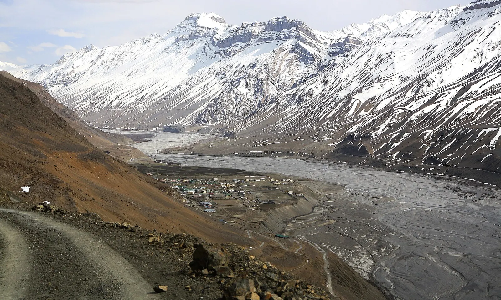
A dirt road above the wide, braided Spiti River with snowy peaks beyond

Photos: Rupak Sarkar (CC BY-SA 4.0), Carlos Adampol Galindo from DF, México (CC BY-SA 2.0), Ksuryawanshi (CC BY-SA 4.0), Timothy Gonsalves (CC BY-SA 4.0)

Distance
412 km Shimla to Kaza, 201 km Kaza to Manali
Highest point
Kunzum Pass, 4,590 m
Kaza
3,650 m
Season
June to September for the full loop

Why go

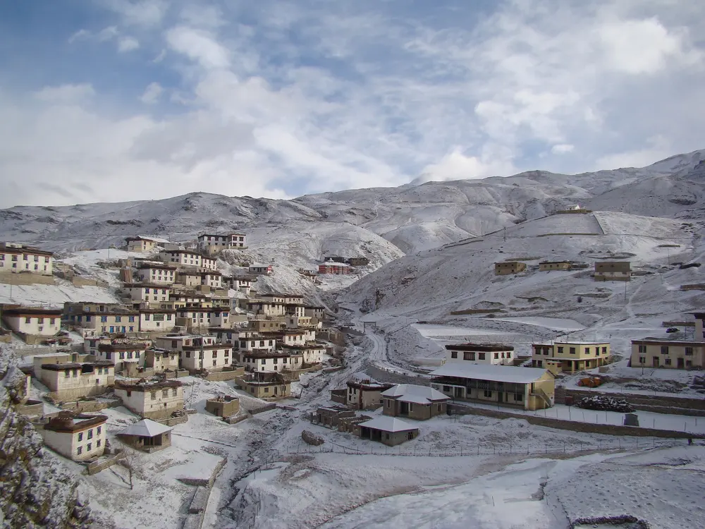
Spiti is a cold desert valley on the Tibetan side of the Himalaya, with whitewashed villages, old monasteries and cliffs of layered rock above a braided river. The classic ride enters from Shimla along the Sutlej through Kinnaur, climbs into Spiti and leaves over the Kunzum Pass towards Manali. Tabo Monastery, founded in 996, sits beside the road, and the high villages of Kibber, Komic and Langza lie above Kaza.

The route

Shimla to Kaza by the Kinnaur road is 412 km, and Kaza to Manali over Kunzum is 201 km. The Cycloscope bikepackers rode Shimla, Kumarsain, Jeori, Rekong Peo, Pooh, Nako, Tabo, Dhankar, Kaza, Losar and Batal, joining the Manali road below Sissu, with daily stages of 21 to 92 km. The hard climbs are the haul from 2,800 m up to Nako at 3,600 m, a pass at 3,850 m beyond it, the detour to Dhankar, which costs about 600 m, and Kunzum itself.

When to go

The Kinnaur road is open all year, but Kunzum is snowed in for five to six months and usually opens between late May and early June. June to September is the best window, and Tabo Monastery warns that August rain brings rockslides. On 15 October 2026 vehicle movement towards Kunzum La was suspended after fresh snow, and the Gramphu to Batal road was closed.

Getting there

Start in Shimla, the state capital, and finish in Manali, which has buses to Delhi and Chandigarh. Riding the loop anticlockwise like this gains height gradually.

Permits and booking

Indians need no permit for Spiti. Foreign nationals need an Inner Line Permit to travel between Rekong Peo and Spiti on the Kinnaur side, issued by the district offices in Shimla or Rekong Peo; coming in and out over Kunzum from Manali needs none.

How hard it is

Shimla to Kaza is mostly asphalt, with repairs after each winter and landslide waits of up to two hours. Asphalt ends about 8 km beyond Losar. The descent from Kunzum to Batal is loose and wet, and Batal to Chhatru is riverbed riding with stream crossings that wear out brake pads. Most of the ride is above 3,000 m.

Where to sleep

Guesthouses, hotels and homestays line the road. Cycloscope paid about 1,200 rupees for a homestay with dinner and breakfast. Wild camping is scarce in Kinnaur but easier near Tabo. Carry cash, since cards are rarely taken and ATMs can refuse foreign cards.

Tips

  • Spend two nights at Kalpa or Tabo before sleeping in Kaza.
  • Avoid the Indian school holidays in early June, when the narrow Kinnaur road is busiest.
  • Fit new brake pads before Kunzum and carry a spare set.
03 / 10

The Nilgiris

Tamil Nadu

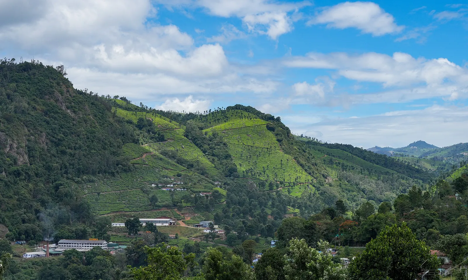
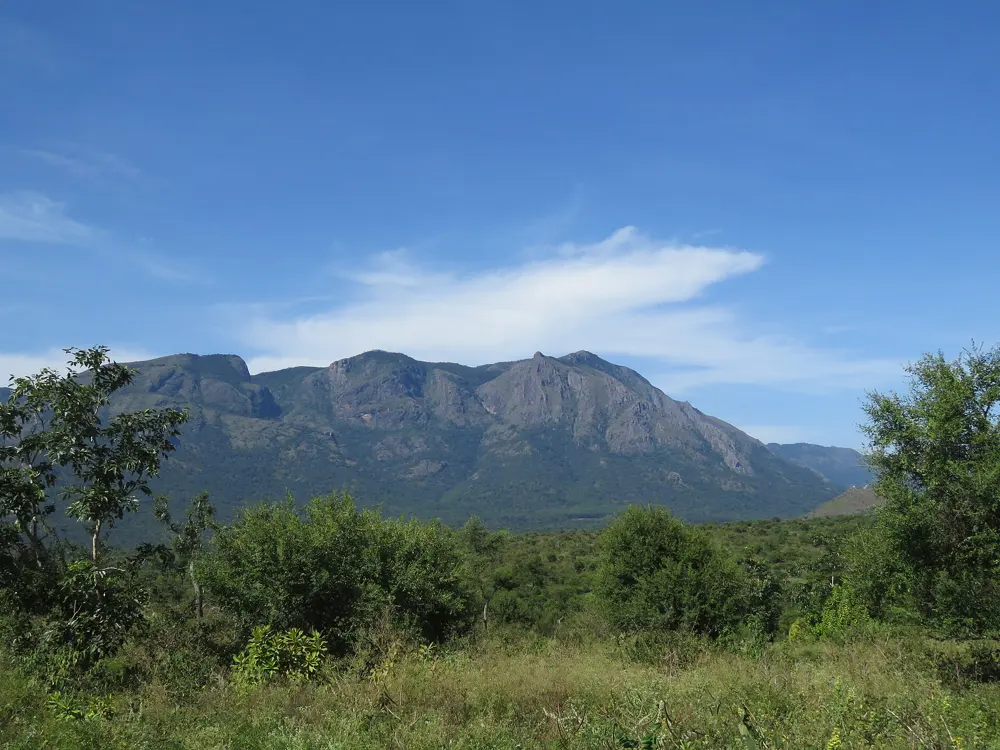
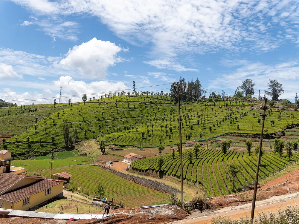
Tea estates and a factory on green hills under a blue sky in the Nilgiris

Photos: Timothy A. Gonsalves (CC BY-SA 4.0), Vinayaraj (CC BY-SA 4.0), Vinayaraj (CC BY-SA 4.0), Rainer Halama (CC BY-SA 4.0)

Distance
About 12 km for the Kalhatty climb
Kalhatty climb
1,230 m at about 10 percent, 36 hairpins
Ooty
2,240 m
Season
January to April is the driest

Why go

The Nilgiris rise straight out of the plains where Tamil Nadu, Kerala and Karnataka meet, with tea estates on every slope and ghat roads that wind up from the plains in long flights of hairpins. They are the heart of the Tour of Nilgiris, a week-long ride organised by Breakaway Sports and held every year since 2008. Ooty, at 2,240 m, makes a cool base above the heat of the plains.

The route

The famous climb is the Kalhatty or Sigur ghat from Masinagudi up to Ooty: about 12 km and 36 hairpins, gaining 1,230 m at an average of about 10 percent with stretches of 15 percent. The Tour of Nilgiris rates it beyond category. From the Coimbatore side, the Coonoor ghat on NH 181 climbs from Mettupalayam through 14 numbered bends, while the quieter Kotagiri ghat runs 33 km from Mettupalayam with only four hairpins and in peak season carries the downhill traffic. Doddabetta, at 2,623 m the highest point in the Nilgiris, is about 10 km from Ooty.

When to go

Ooty is driest and sunniest from January to April, and June to October is the rainy season, with October the wettest month. The Tour of Nilgiris 2026 starts on 6 December and ends on 12 December, covering more than 700 km in seven days through Karnataka, Kerala and Tamil Nadu.

Getting there

Coimbatore airport is 96 km from Ooty. The Nilgiri Mountain Railway, a metre gauge rack railway with steam engines, runs from Mettupalayam to Ooty. Masinagudi lies on the road from Mysuru.

Permits and booking

No permit is needed for a bicycle. Since 2024, on the orders of the Madras High Court, motor vehicles not registered in the Nilgiris need a free e-pass from the Tamil Nadu portal to enter during controlled periods, broadly April to June; the published rules do not mention bicycles. The Kalhatty road is closed at night, and in peak season motor traffic runs one way, up through Coonoor and down through Kotagiri.

How hard it is

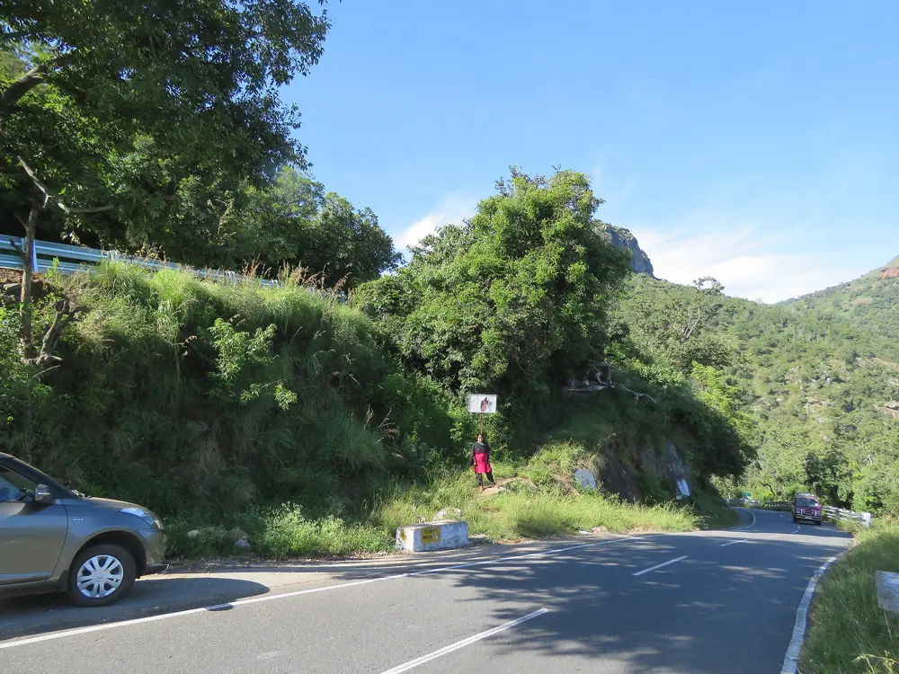
The Kalhatty climb is one of the hardest in India, and the ghat roads carry buses and trucks on narrow bends. Landslides close ghats for days or weeks after heavy rain, and traffic is then sent round by another road.

Where to sleep

Ooty and Coonoor have the widest choice of hotels and homestays. Masinagudi, at the foot of the Kalhatty climb, makes a quieter start.

Tips

  • Climb the Kalhatty ghat rather than descend it: the hairpins are steep enough to overheat rim brakes.
  • Ride the ghats early, before the tourist traffic.
  • Book the Nilgiri Mountain Railway ahead if you want to take the train up and ride down.
04 / 10

The Konkan coast, Mumbai to Goa

Maharashtra and Goa

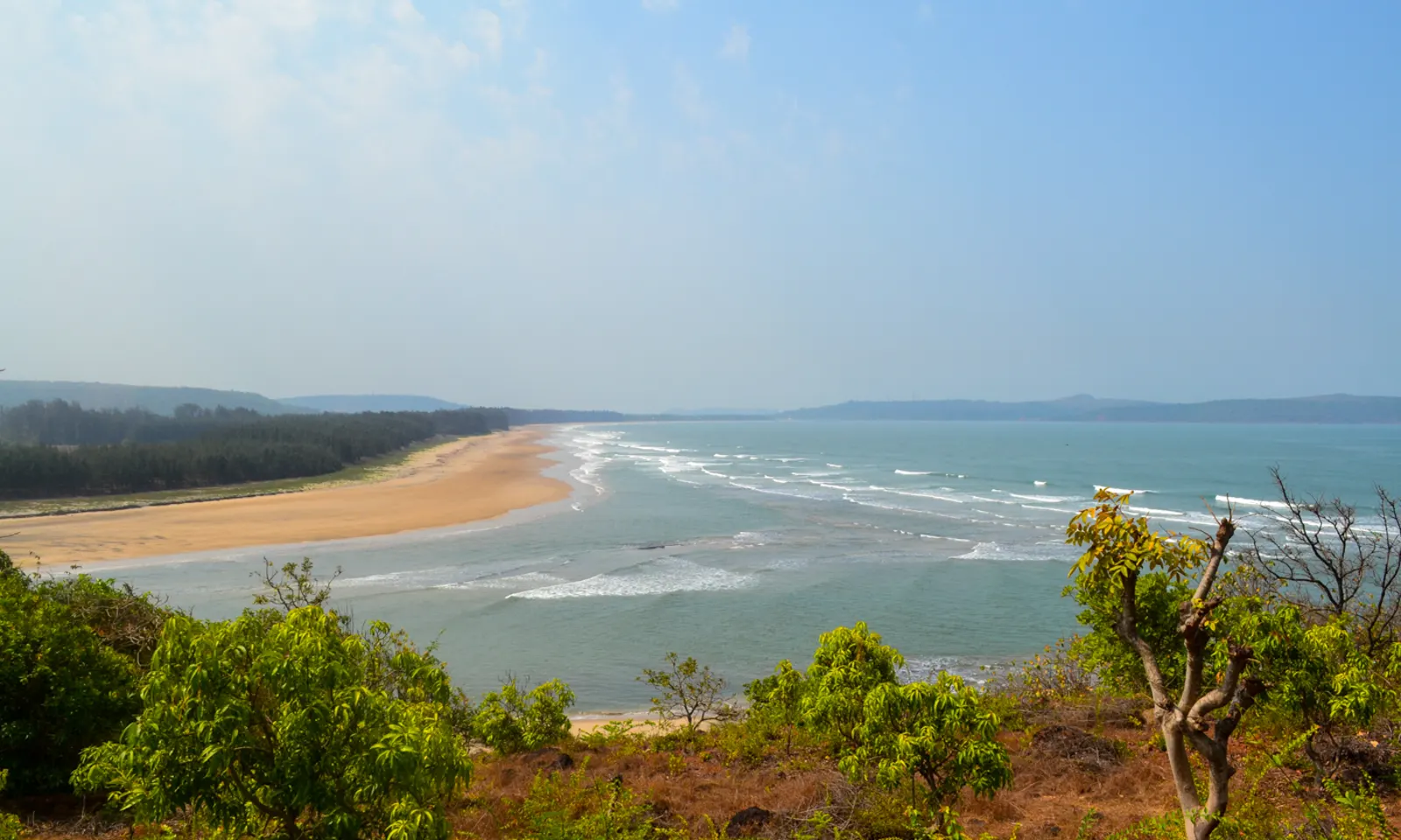
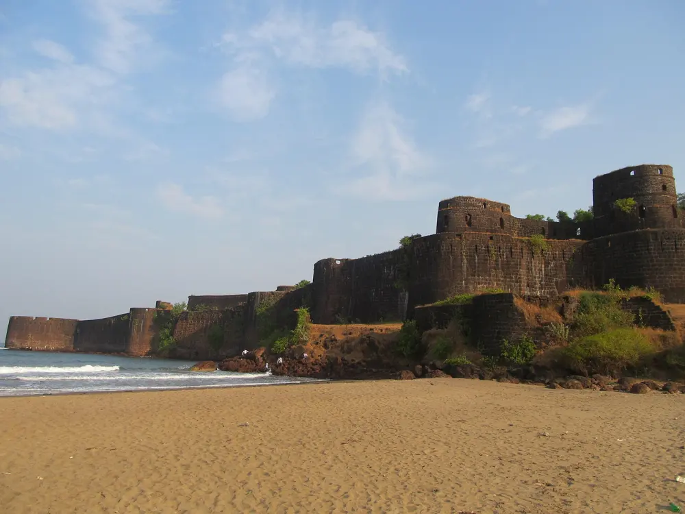
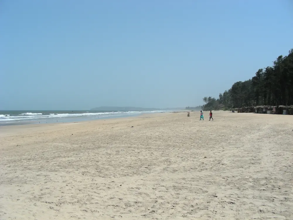
A long curving beach and the Arabian Sea seen from a wooded headland at Aare Vaare near Ratnagiri

Photos: Apoo8338 (CC BY-SA 4.0), vksuradkar (CC BY-SA 4.0), AdiDat (CC BY-SA 3.0), Kristina D.C. Hoeppner from Wellington, New Zealand (CC BY-SA 2.0)

Distance
About 550 km by the coast roads
Riding days
About 7
Ferries
Four or five creek crossings
Season
After the monsoon; tours run in late November and December

Why go

Riding the Konkan coast from Mumbai to Goa means following small roads between the Western Ghats and the Arabian Sea, past fishing villages, sea forts, beaches and river mouths that you cross on old ferries. It ends on a beach in Goa, and along the way the home cooking of the Konkan villages is a reward of its own. A rider who did it in December 2019 described the hills as relentless but small compared with those elsewhere in India.

The route

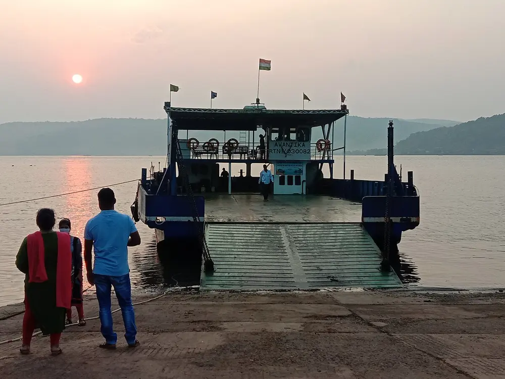
Most riders take a ferry out of Mumbai to start, either the roll-on roll-off boat from the Ferry Wharf towards Mandwa or the boat from Karanja to Rewas, then ride by Alibag and Murud. The coast route of about 550 km links Dighi, Harihareshwar, Kelshi, Dapoli, Guhagar, Ganpatipule, Ratnagiri, Devgad, Malvan and Vengurla before crossing into Goa. Ferries cut across the creeks at Agardanda to Dighi, Bagmandla to Vesavi, Dabhol to Dhopave and Tavsal to Jaigad.

When to go

Ride after the monsoon, in winter. In 2026 the Maharashtra Maritime Board closed the state's minor ports, except Jaigad, to shipping and vessel traffic from 26 May to 31 August. The 2019 riders went in mid-December, and Dream Challenges departs on 27 November 2026 and 2 December 2027.

Getting there

Start from the ferry terminals in south Mumbai, at the Ferry Wharf or the Gateway of India for Mandwa. The 2019 riders finished in Panaji, the capital of Goa.

Permits and booking

No permit is needed. The creek ferries carry bicycles, but we found no published timetables for them, so ask locally the day before. Some crossings have been replaced by bridges.

How hard it is

Dream Challenges grades its 11-day Mumbai to Goa ride 4 out of 5: the tarmac is mostly good but there are many short, steep coastal climbs, and the heat and humidity are high. One forest stretch on the coast is gravel. State buses on narrow roads are the main traffic hazard.

Where to sleep

The coastal towns have guesthouses and homestays. The 2019 riders stayed in a guesthouse at Kelshi and a homestay in Guhagar, where dinner was the best meal of the trip. Dream Challenges uses hotels and one night of beach camping.

Tips

  • Ride from dawn and take a long lunch through the midday heat.
  • Leave slack in each day for a missed ferry.
  • Carry cash for ferries and village food stops.
05 / 10

Nandi Hills

Karnataka

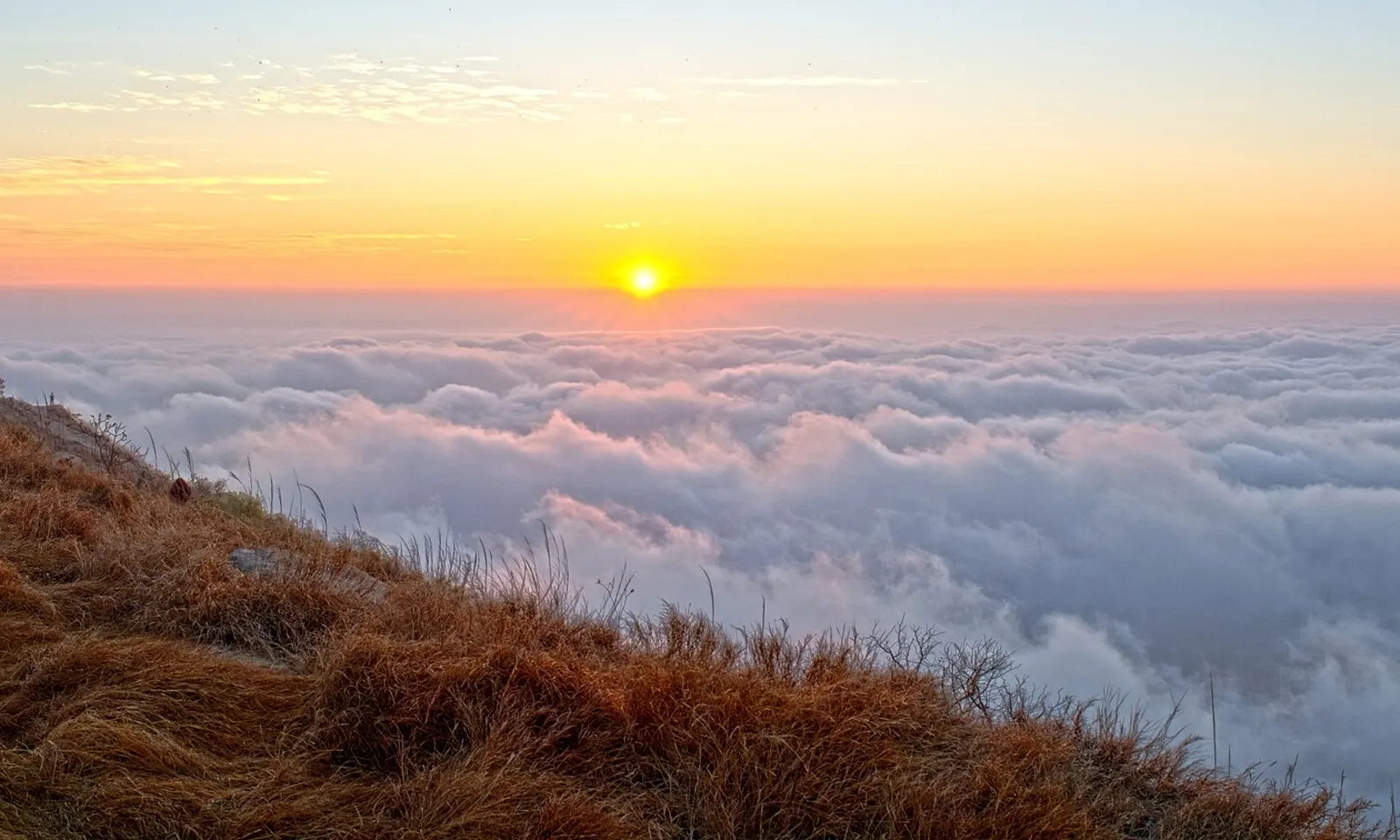
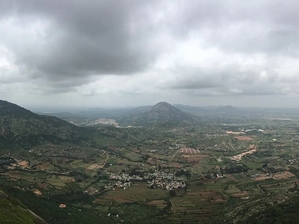
The sun rising over a blanket of cloud seen from the dry grass on top of Nandi Hills

Photos: Original: Sri Chakra Pranav Derivative work: UnpetitproleX (CC BY-SA 4.0), Wise Droid (CC BY-SA 4.0), Aranyaparva (CC BY-SA 4.0), Amol.Gaitonde (CC BY-SA 4.0)

Distance
About 8 km from the base to the top
Climb
450 m, with 40 tight bends
Summit
1,478 m
Season
September to February

Why go

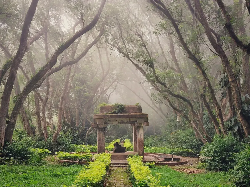
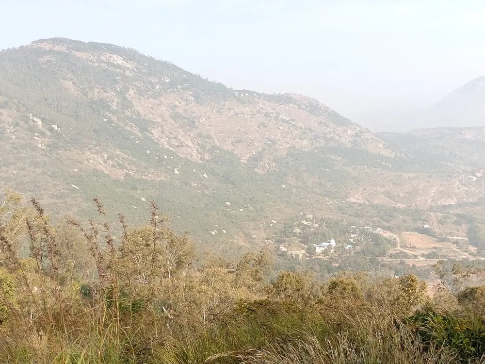
Nandi Hills is Bengaluru's hill climb, the ride the city's cyclists come back to week after week. The road twists up a granite hill about 60 km north of the city to an old fort and a summer retreat of Tipu Sultan, and on some mornings you look down on cloud filling the plains below. It is short enough to ride before work and still has the feel of a proper mountain road.

The route

Karnataka Tourism describes the climb from the base to the summit as about 8 km with 450 m of gain and 40 tight bends, and suggests allowing an hour and a half to two hours for the ascent. Most riders come up from Bengaluru on NH 44 and turn off for the hill near Chikkaballapur. At the top are Tipu's Drop, a 60 m cliff, the Amrita Sarovar reservoir that once supplied the fort, and the Nandi shrine among the trees. On the way back, the Bhoga Nandeeshwara temple at the foot of the hill is one of the oldest in the region.

When to go

September to February is the best season, with temperatures of about 10 to 25 degrees. June to August brings mist and green slopes, but the roads can be slippery. Ride early: Karnataka Tourism suggests 5:30 to 8:30 in the morning to avoid the heat and the traffic.

Getting there

Kempegowda International Airport is about 35 km from the hill. Chikkaballapur railway station is 9 km from the base, and taxis and buses run from Bengaluru along NH 44.

Permits and booking

Karnataka Tourism lists the hilltop as open from 6:00 to 18:00, with an entry fee of about 10 to 20 rupees a person. Parking for two-wheelers costs 30 rupees on weekdays and 50 at weekends. In 2022 the district introduced passes for weekend visits, capping parking at 1,000 two-wheelers and 300 cars, so check the current rules before a weekend ride.

How hard it is

The climb is moderate to hard for intermediate riders, with steady gradients and tight bends. Karnataka Tourism warns that the descent, though quicker, needs care, and the hill is crowded at weekends.

Where to sleep

Most riders come from Bengaluru for the morning and are home by lunch. Chikkaballapur, 10 km away, is the nearest town for anyone coming from further afield.

Tips

  • Ride on a weekday if you can: weekend traffic on the hill is heavy.
  • Carry water and food, since there is little along the climb.
  • Check your brakes before the descent.
06 / 10

Shillong to Sohra

Meghalaya

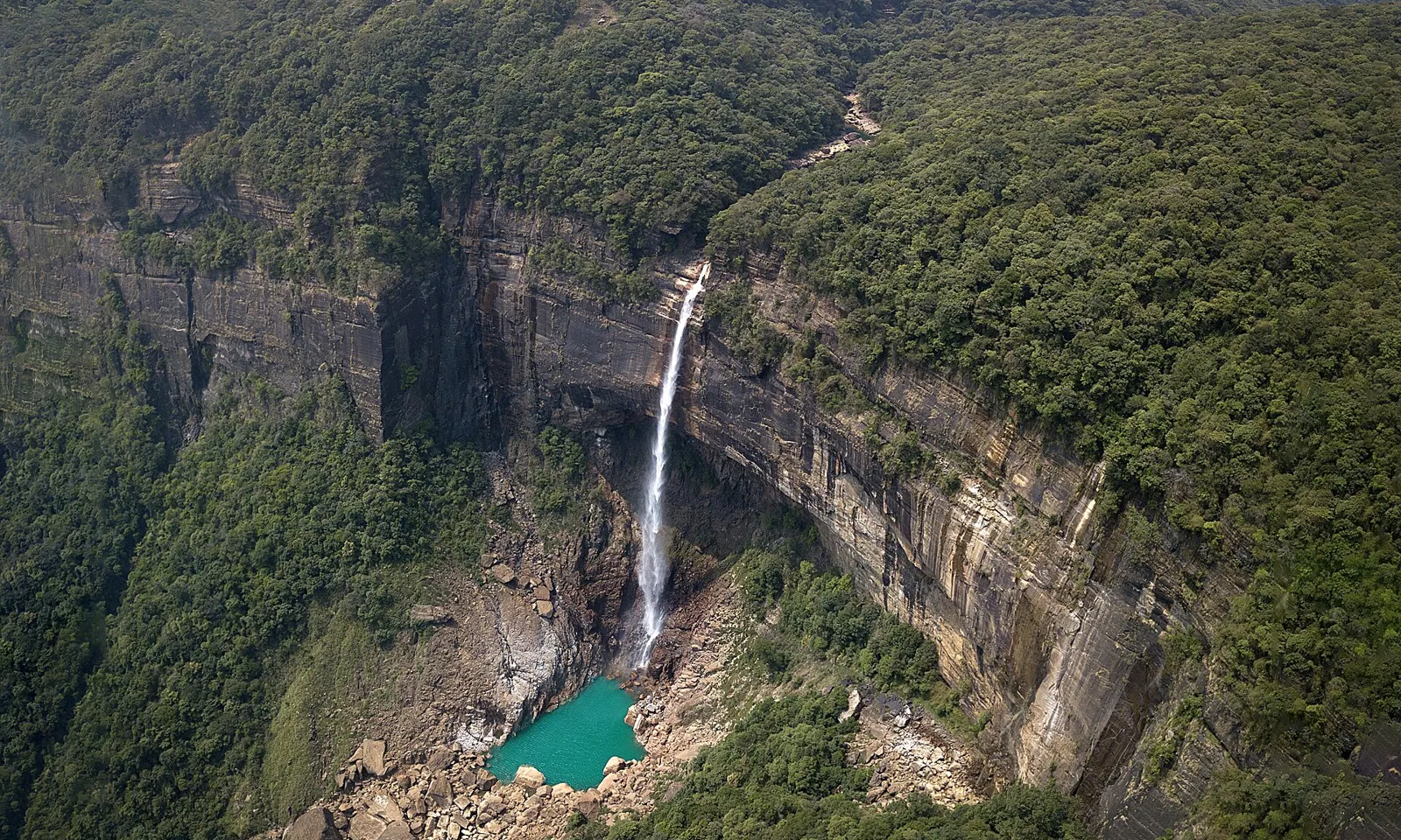
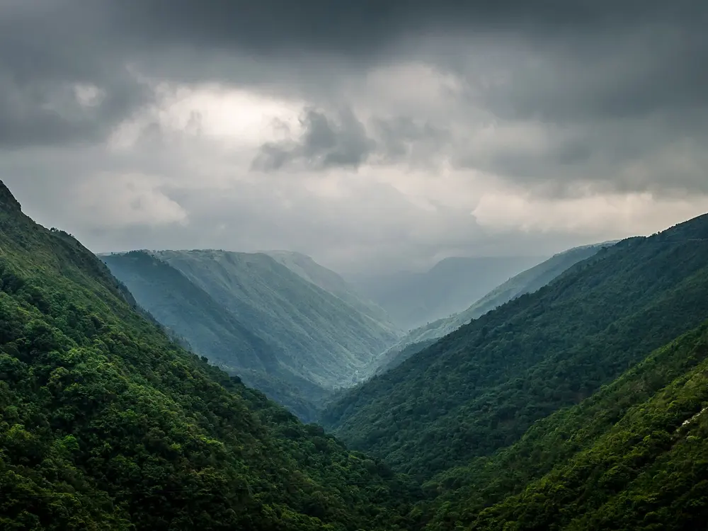
The Nohkalikai Falls dropping from a forested cliff into a green pool near Sohra

Photos: Vikramjit Kakati (CC BY-SA 4.0), Pooja Borar (CC BY-SA 4.0), Nazmul Ahmed (CC BY-SA 4.0), Sai Avinash (CC BY-SA 4.0)

Distance
About 60 km one way
Sohra
1,430 m
Mawkdok viewpoint
About 30 km from Shillong
Season
October to April

Why go

The road from Shillong to Sohra, also called Cherrapunji, runs across the Khasi Hills to the edge of deep forested gorges. Sohra averages 11,777 mm of rain a year, and its cliffs are hung with waterfalls such as Nohkalikai. Outlook Traveller puts this ride among the five best cycling routes in India, and rates it difficult for its sudden twists and climbs.

The route

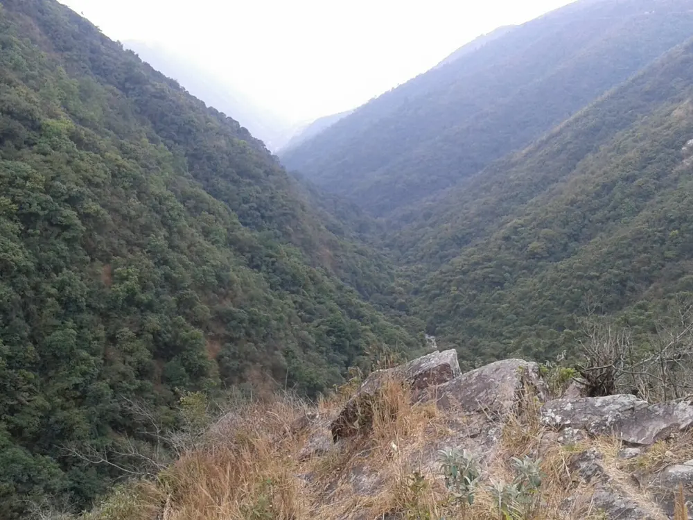
From Shillong, which spreads between 1,495 and 1,965 m, ride south on the Shillong to Cherrapunji road. At about 30 km the Mawkdok Dympep viewpoint, by the Duwan Sing Syiem bridge, looks down into a deep V-shaped valley. The road then crosses the open plateau to Sohra at 1,430 m. Around Sohra, short rides lead to the Nohkalikai Falls and the Nohsngithiang viewpoint; a rental e-bike circuit from Khliehshnong village covers both.

When to go

Meghalaya Tourism recommends October to April for clear views. Sohra's driest months are November to February, and June and July are the wettest, when cloud often hides the gorges.

Getting there

Shillong is 100 km from Guwahati by National Highway 40, about two and a half hours by road. Shillong's own airport at Umroi, 30 km from the city, has few flights, so most riders fly into Guwahati.

Permits and booking

Meghalaya does not use the Inner Line Permit system that applies in Arunachal Pradesh, Nagaland and Mizoram. A 2019 law requires visitors staying more than 24 hours to register, and since June 2025 the state government has required homestays, resorts and landlords to register every guest through the Meghalaya Tourism app, so carry ID.

How hard it is

The distance is short but the road is hilly and twisting, and Outlook Traveller suggests allowing up to two days for the 60 km. Mist and rain make the descents slippery for much of the year.

Where to sleep

Shillong has the most hotels. Sohra has homestays and guesthouses, and some of them book the Sohra e-bike circuit.

Tips

  • Carry a rain jacket in every season.
  • Leave time to walk down the forest steps from the Mawkdok viewpoint to the Duwan Sing Syiem bridge.
07 / 10

Munnar and the High Ranges

Kerala

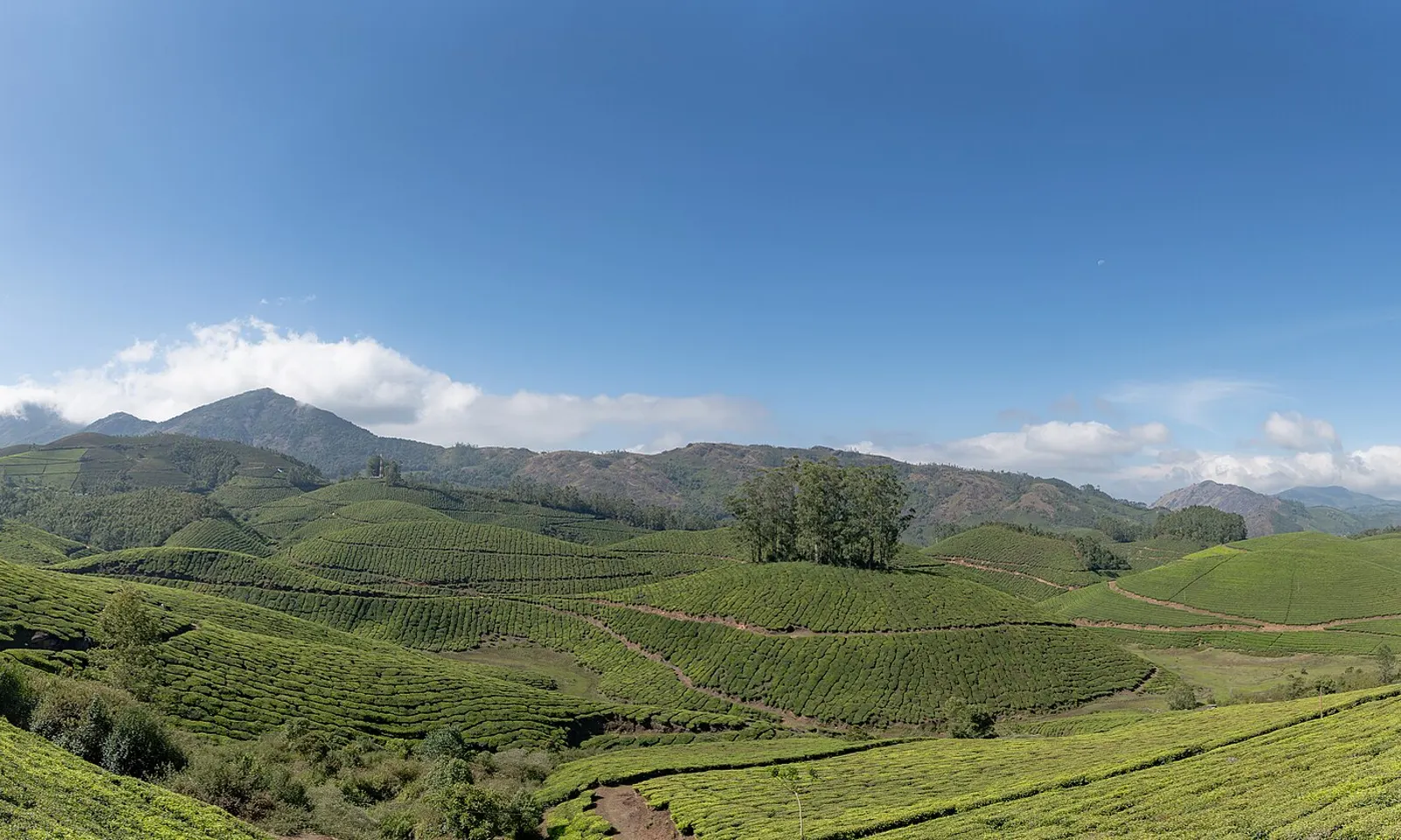
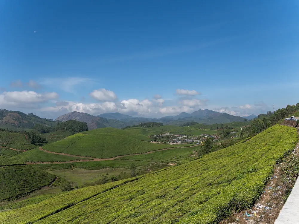
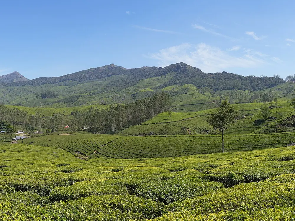
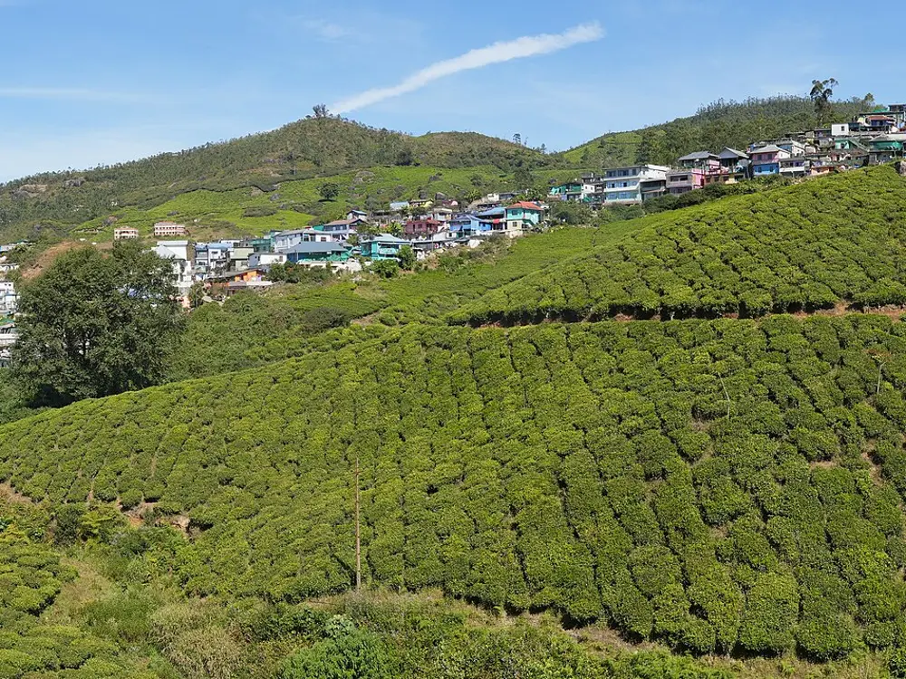
Tea gardens rolling over the hills around Munnar under a blue sky

Photos: Rainer Halama (CC BY-SA 4.0), Rainer Halama (CC BY-SA 4.0), Ingo Mehling (CC BY-SA 4.0), Ingo Mehling (CC BY-SA 4.0)

Distance
89 km, Munnar to Marayoor and the Annamalai hills
Munnar
About 1,600 m
Top Station
32 km from Munnar
Season
October to February

Why go

Munnar sits at about 1,600 m in Kerala's High Ranges, at the meeting of three streams, and the hills around it are covered in tea gardens first planted in 1880. The roads curl through the estates with long views over the Western Ghats, and Anamudi, the highest peak in South India at over 2,700 m, rises above the town. The air is cool even when the coast below is steaming.

The route

The Culture Trip names the 89 km ride from Munnar by Gundumalai and Marayoor to the Annamalai hills as one of the best in Kerala. Marayoor is about 40 km from Munnar. Another classic runs east to Top Station, 32 km away, past the Mattupetty dam and lake at 1,700 m. The Gap Road, about 15 km from Munnar on the road towards Bodimettu, is the most dramatic stretch of tarmac in the area.

When to go

October to February is the best season. July is the wettest month, with 583 mm of rain on average. Heavy rain closes roads: in July 2026 the Idukki District Collector asked tourists to avoid the Kochi to Munnar highway after a landslide at Moolakadai, and in June 2025 night traffic was banned on the Gap Road for falling rocks.

Getting there

Cochin International Airport is 110 km away, and the nearest railway station is Aluva, about the same distance. If the highway is restricted, the old Munnar road by Devikulam is the alternative.

Permits and booking

No permit is needed to ride the public roads. Eravikulam National Park, home of the endangered Nilgiri tahr, 13 km from Munnar, is closed each year for the calving season, usually in February and March.

How hard it is

The region runs from about 1,450 m to 2,695 m, so every ride means long climbs on winding hill roads. Rain, fog and falling rock are the real hazards, especially on the Gap Road, where the district has banned night traffic in heavy rain.

Where to sleep

Munnar town and the estates around it have hotels, resorts and homestays. Marayoor has a few smaller places for a night on the far side of the hills.

Tips

  • Check for district road orders after heavy rain, and avoid the Gap Road after dark in the monsoon.
  • Plan around the Eravikulam calving closure if you want to see the Nilgiri tahr.
08 / 10

Udaipur, Kumbhalgarh and Ranakpur

Rajasthan

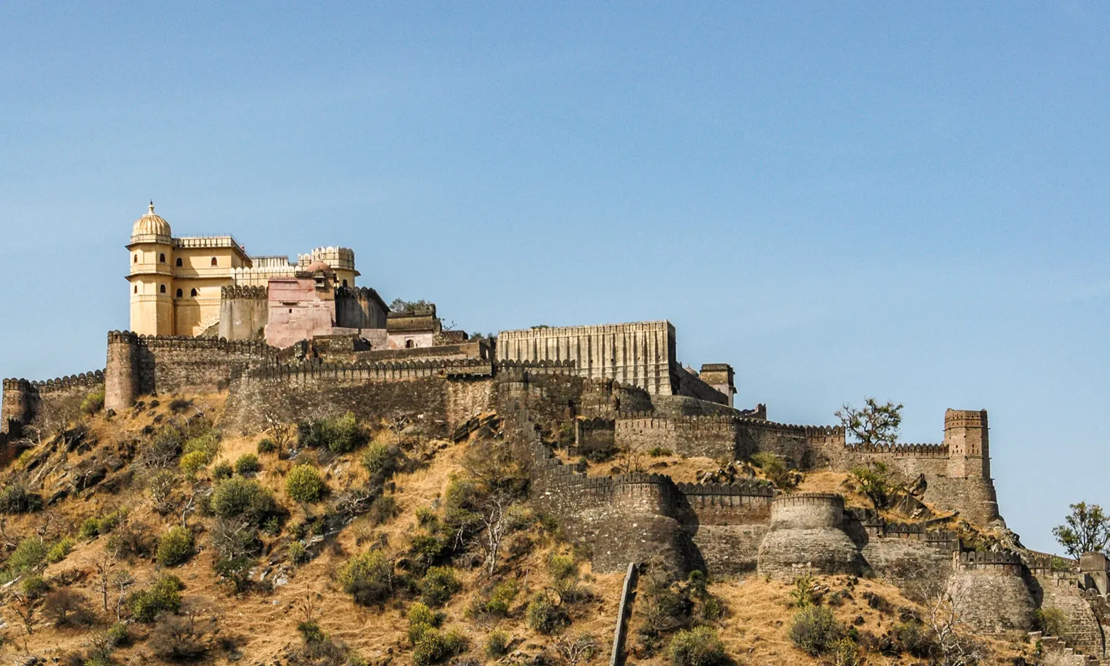
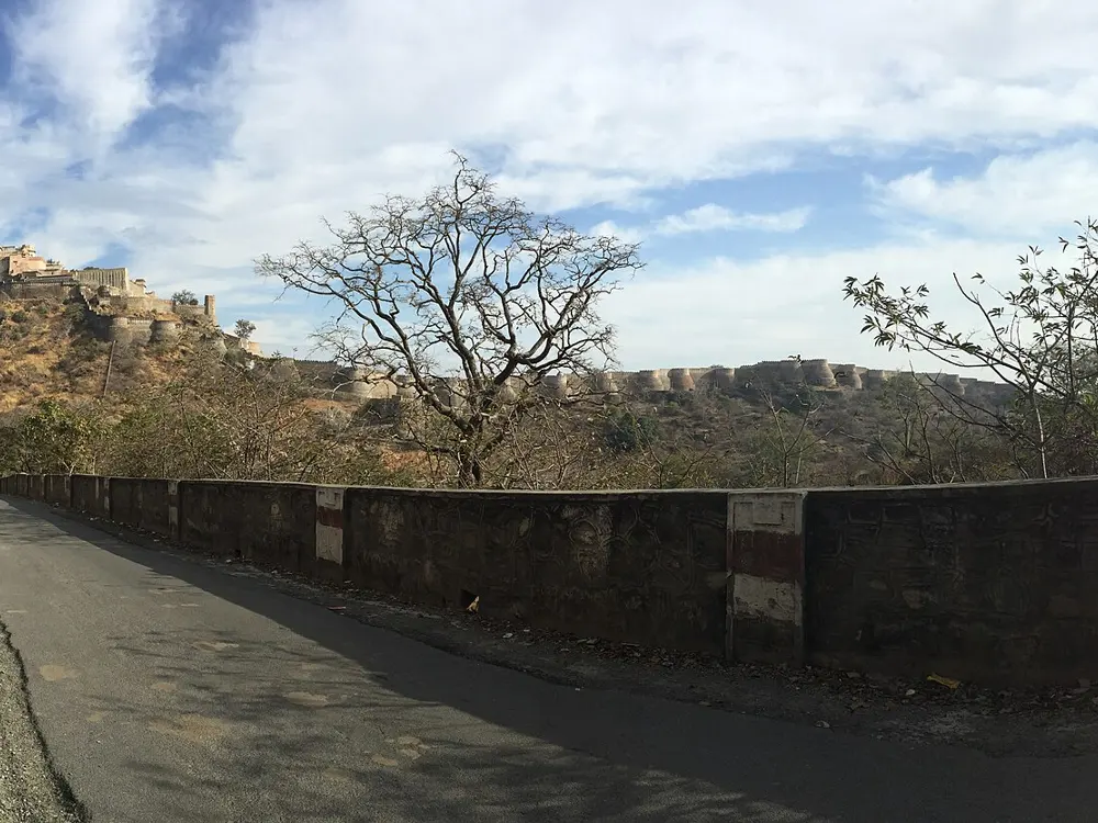
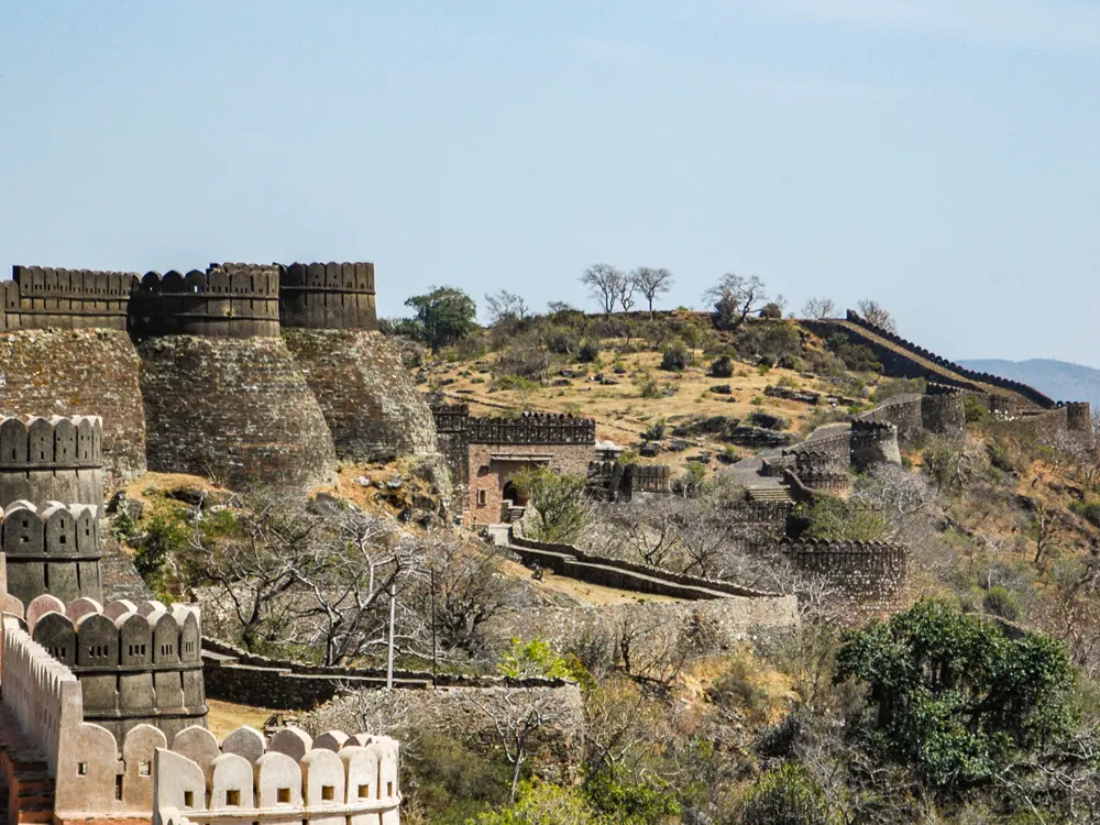
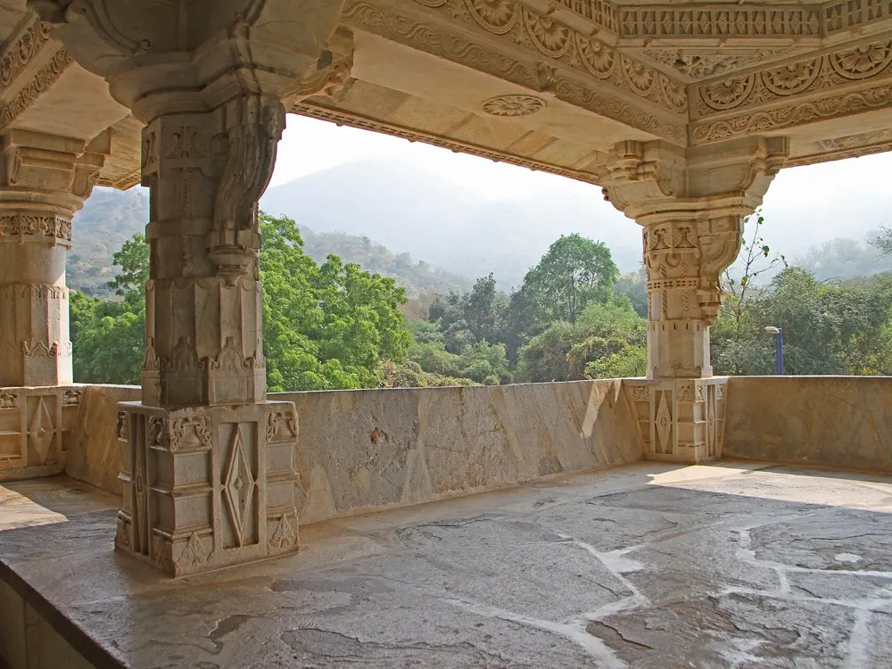
Kumbhalgarh fort and its palace on top of a dry Aravalli hill under a blue sky

Photos: Rajesh Kapoor (CC BY-SA 4.0), Ridhi Jain (CC BY-SA 4.0), Rajesh Kapoor (CC BY-SA 4.0), Gerd Eichmann (CC BY 4.0)

Distance
84 km from Udaipur to Kumbhalgarh
Kumbhalgarh fort
1,100 m, walls 36 km long
Biggest day
About 1,460 m of climbing, Ranakpur to Kumbhalgarh
Season
October to March

Why go

The Aravalli hills north of Udaipur are where Rajasthan's cycling tours go for real hills: quiet, undulating roads through forest, climbing to Kumbhalgarh, a 15th-century hill fort whose walls run for 36 km over the ridges, and dropping to the marble Jain temple of Ranakpur in a forested valley. Kumbhalgarh is part of the Hill Forts of Rajasthan World Heritage Site, listed in 2013.

The route

Kumbhalgarh is 84 km from Udaipur by road. Spice Roads' Rajasthan tour rides from Ahore past Ranakpur and up to Kumbhalgarh in one 80 km day with about 1,460 m of climbing, the hardest of its trip; then a 20 km loop around the fort, then 90 km over the ridges with about 500 m of climbing before the descent towards Udaipur. Other operators split the hills into shorter days of 40 to 80 km by Jhadol or Iswal. The Ranakpur temple, built in the 15th century, has 1,444 carved marble pillars.

When to go

October to March, with December to March the coolest and best. April to June is too hot for long rides, and July to September is the monsoon. Spice Roads has departures from November 2026 to March 2027.

Getting there

Udaipur is the usual start or finish for tours, and the Spice Roads tour ends there with a descent from the hills. Ranakpur is in Pali district, near Sadri.

Permits and booking

No permit is needed to ride the roads. We found no official list of entry fees or visiting hours for Kumbhalgarh fort or the Ranakpur temple, so check at the gates before planning the day around them.

How hard it is

Most days on the Spice Roads tour are 70 to 80 km, and it calls the climb into the hills its only day with significant climbing. Several operators use vehicle transfers for part of the route and keep a support vehicle on hand.

Where to sleep

Udaipur has the widest choice. Spice Roads stays two nights at the Kumbhalgarh Forest Retreat, uses Ravla Bhenswara near Ahore before the climb, and ends at a haveli in Udaipur.

Tips

  • Ride the big climb in the morning before the heat.
  • Keep a day for the 20 km loop around Kumbhalgarh fort.
09 / 10

Sinhagad and the Pune ghats

Maharashtra

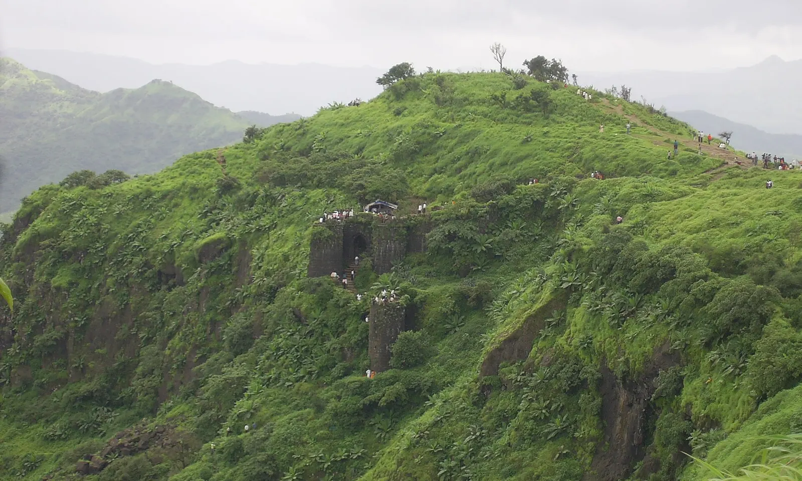
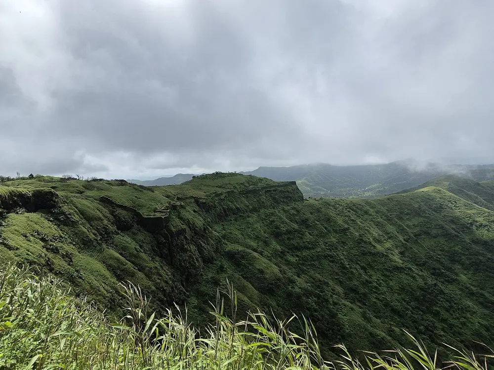
The green flank of Sinhagad with the fort walls along the ridge above

Photos: SasmitV (CC BY 3.0), Dinesh Valke from Thane, India (CC BY-SA 2.0), Suraj Digrase (CC0), Suraj Digrase (CC0)

Distance
About 28 km from Pune to Sinhagad
Sinhagad
1,317 m
Tamhini Ghat
Almost 15 km of climbing road
Season
October to December

Why go

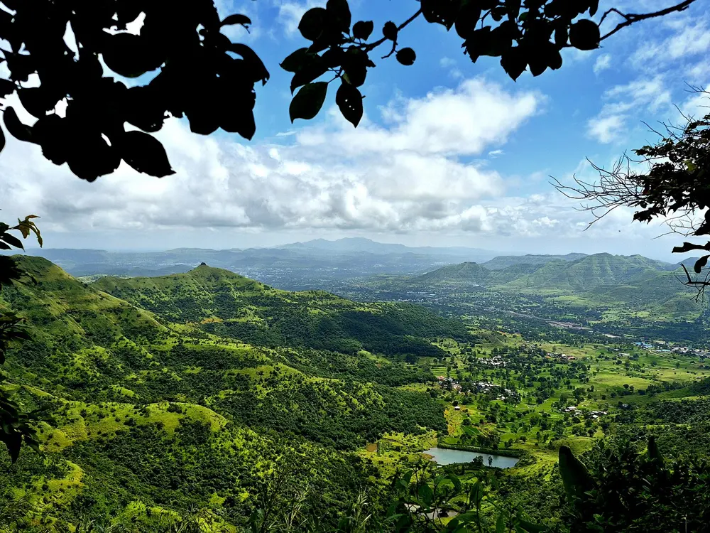
Pune's riders train on the Sahyadri, the green wall of the Western Ghats just west of the city. The classic is the ride to Sinhagad, the hill fort that Tanaji Malusare took back for the Marathas in 1670, which stands about 760 m above the land around it. Pune is also the start of the Deccan Cliffhanger, a non-stop race of about 643 km to Goa that drops off the Deccan plateau through the ghats to the coast.

The route

Sinhagad lies about 28 km southwest of Pune, and a road leads straight up to the summit at 1,317 m. From Donje the tar road climbs gently at first towards the fort, and riders on basic bikes report pushing after the halfway mark. West of the city, the road through Mulshi runs past the Mulshi dam backwaters and into the Tamhini Ghat, almost 15 km of road cut through the crest of the Western Ghats down to Kolad on the Mumbai to Goa highway.

When to go

October to December is the best time, after the monsoon, when the hills are still green and the air is clear. In the monsoon the Tamhini Ghat is full of waterfalls and streams, but the roads are wet and landslides close them for days at a time.

Getting there

Pune is the base, with an airport and a main railway station. The Sinhagad road and the Mulshi road both start in the city's western suburbs, so most rides begin from home.

Permits and booking

No permit is needed to ride. Vehicle rules on Sinhagad change often: from 1 May 2022 the forest department stopped private vehicles going to the top and ran electric buses instead, but in July 2026 cars were again parked along the last 3 km of the ghat road. That weekend more than 18,000 visitors caused a 3 km jam, and the authorities halted traffic at Kondhanpur Phata.

How hard it is

Sinhagad is a serious climb: from Donje the way to the top gains about 2,100 feet, some 640 m. The Tamhini Ghat is almost 15 km of road through the crest of the hills. In the monsoon, rain and mist make every descent slippery.

Where to sleep

Stay in Pune. Both rides are out and back from the city in a morning, so there is no need to sleep in the hills.

Tips

  • Climb Sinhagad on a weekday morning to avoid the weekend crowds on the ghat road.
  • Check for forest department closures in the monsoon before you set out.
  • Carry lights and a rain jacket on any monsoon ride.
10 / 10

The East Coast Road, Chennai to Puducherry

Tamil Nadu and Puducherry

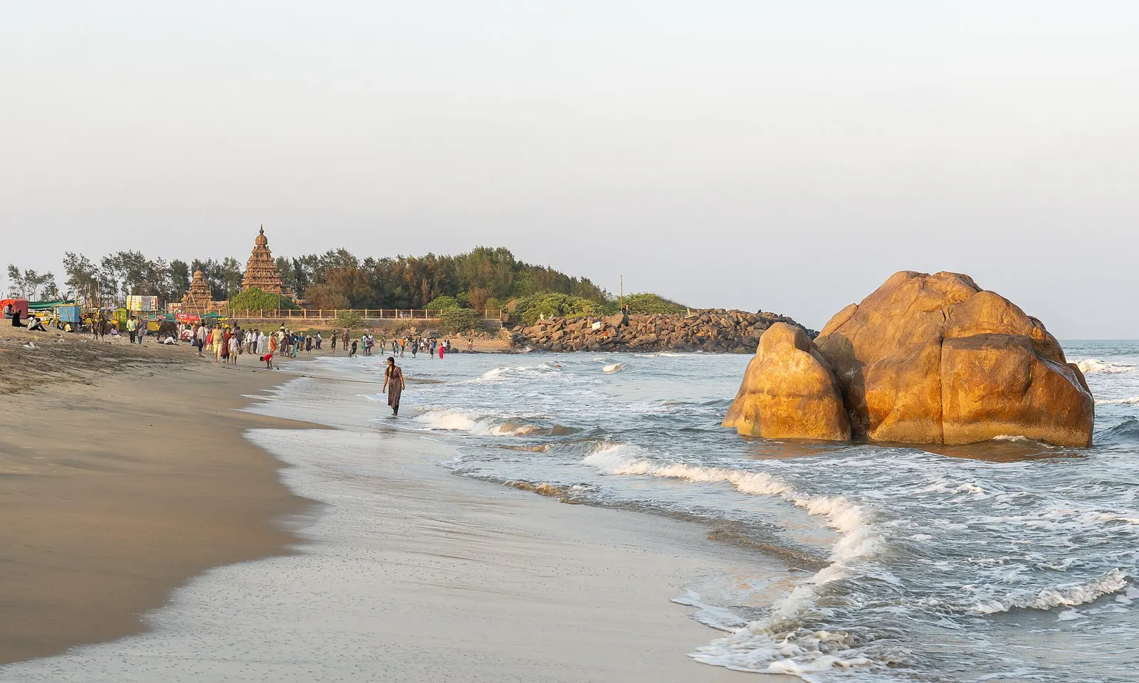
The beach at Mahabalipuram with a large boulder in the surf and the Shore Temple in the distance

Photos: Rainer Halama (CC BY-SA 4.0), https://www.flickr.com/photos/ashwinkumar/ (CC BY-SA 2.0), Rainer Halama (CC BY-SA 4.0), Dey.sandip (CC BY 3.0)

Distance
About 150 km
Mahabalipuram
About 56 km from Chennai
Riding days
1 or 2
Season
December and January

Why go

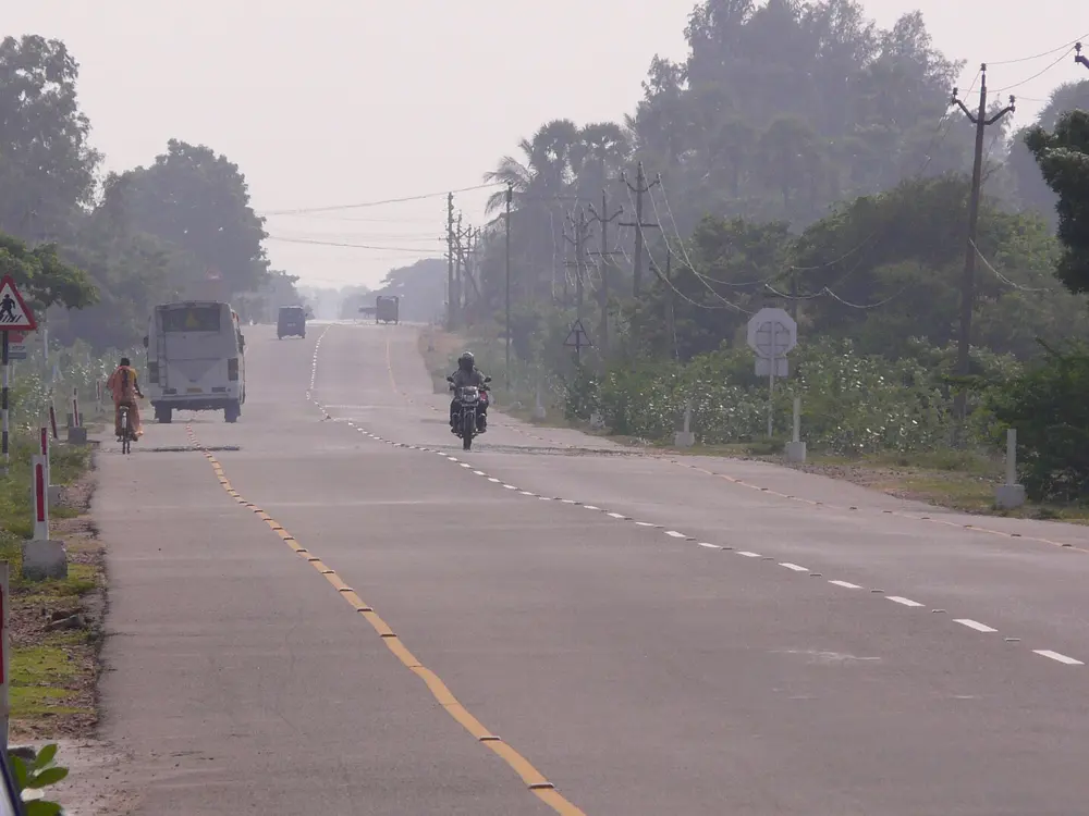
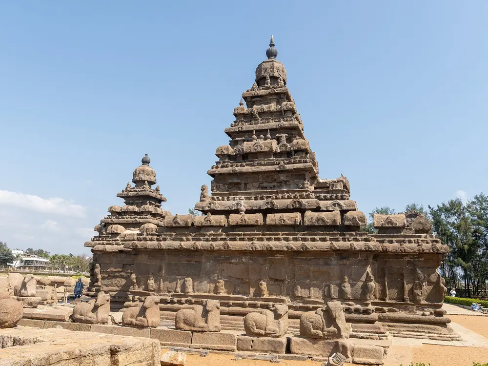
The East Coast Road runs south from Chennai along the Bay of Bengal, with a cool breeze off the sea, coconut groves, backwaters, salt farms and fishing villages. Outlook Traveller ranks it the easiest of India's five best cycling routes. On the way you pass the Pallava monuments of Mahabalipuram, a World Heritage Site with the Shore Temple and one of the largest rock reliefs in Asia,, and you finish on the seafront promenade of Puducherry.

The route

Chennai club rides use the ECR south of the city, such as a 60 km ride from Madhya Kailash to Muttukadu and back. Mahabalipuram is about 56 km from Chennai, a natural first stop. Beyond it the road continues to Puducherry, about 150 km in all, with detours to the sea such as the ruined Alamparai Fort. Auroville, founded in 1968, lies about 12 km north of Puducherry, 6 km west of the ECR turn at Bommayapalayam, and its quiet roads are good for a rest day on the bike.

When to go

December and January are the coolest months, with average temperatures of 19 to 25 degrees. Most of the rain falls with the northeast monsoon from October to December, November being the wettest month, and April to June is hot, 35 to 40 degrees.

Getting there

Fly into Chennai: the Incredible India riders assembled their bikes at the airport and set off from there, then rode back to Chennai by Mahabalipuram a week later.

Permits and booking

No permit is needed. Near the city most Chennai cyclists ride early, before the traffic builds: one club's Sunday rides start at 3:45.

How hard it is

Easy, says Outlook Traveller, with clear roads. The challenge is the heat: the Incredible India riders started one day at 4 in the morning and still struggled in the early afternoon sun.

Where to sleep

Split a two-day ride at Mahabalipuram, which has cafes and homestays. In Auroville the Incredible India riders rented a house and spent the next days riding the countryside.

Tips

  • Start before sunrise to beat the heat.
  • Take the village roads to the beaches and backwaters for a break from the highway.

Sources

Distances, heights, seasons and permit rules were checked against these pages. Rules change, so check the park or trail authority before you go.