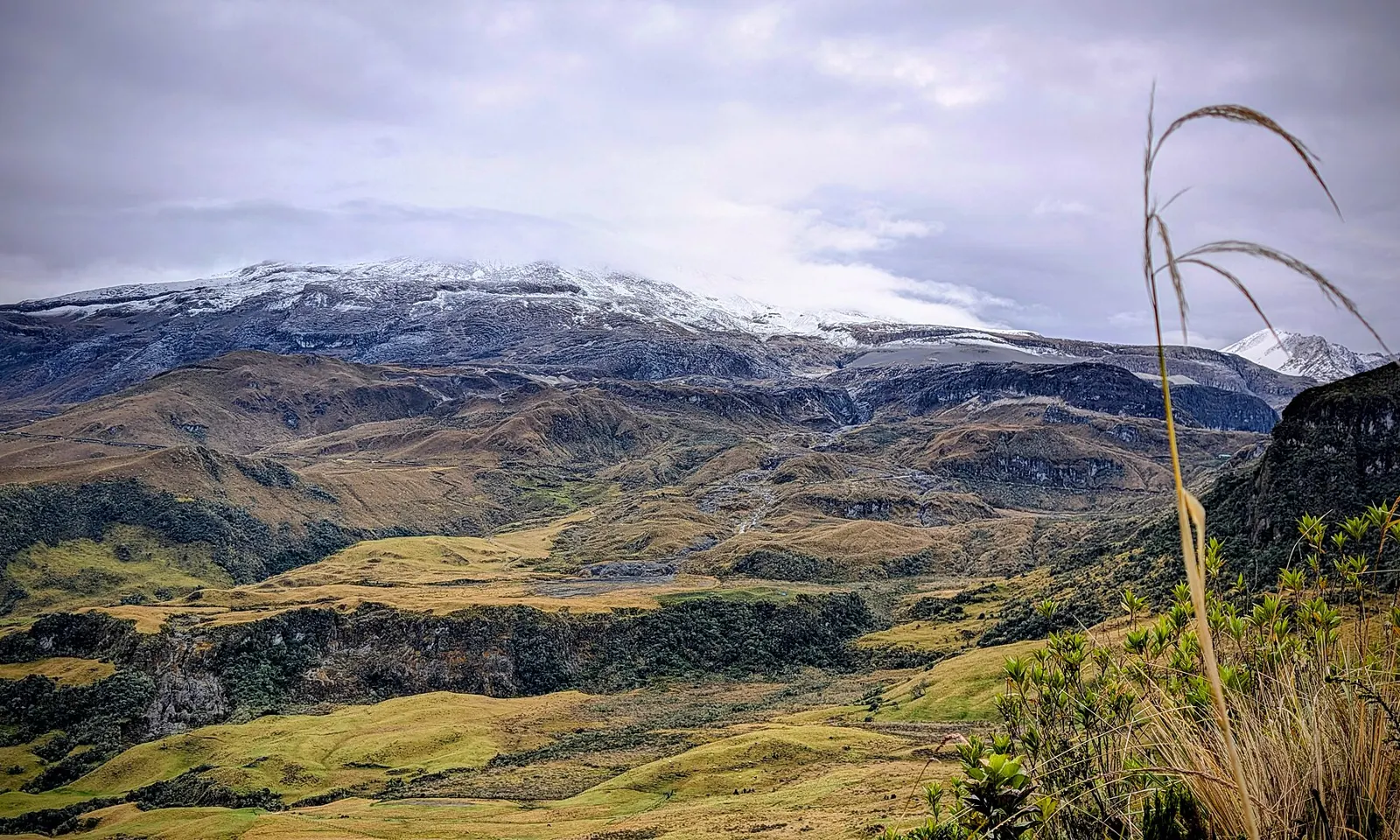
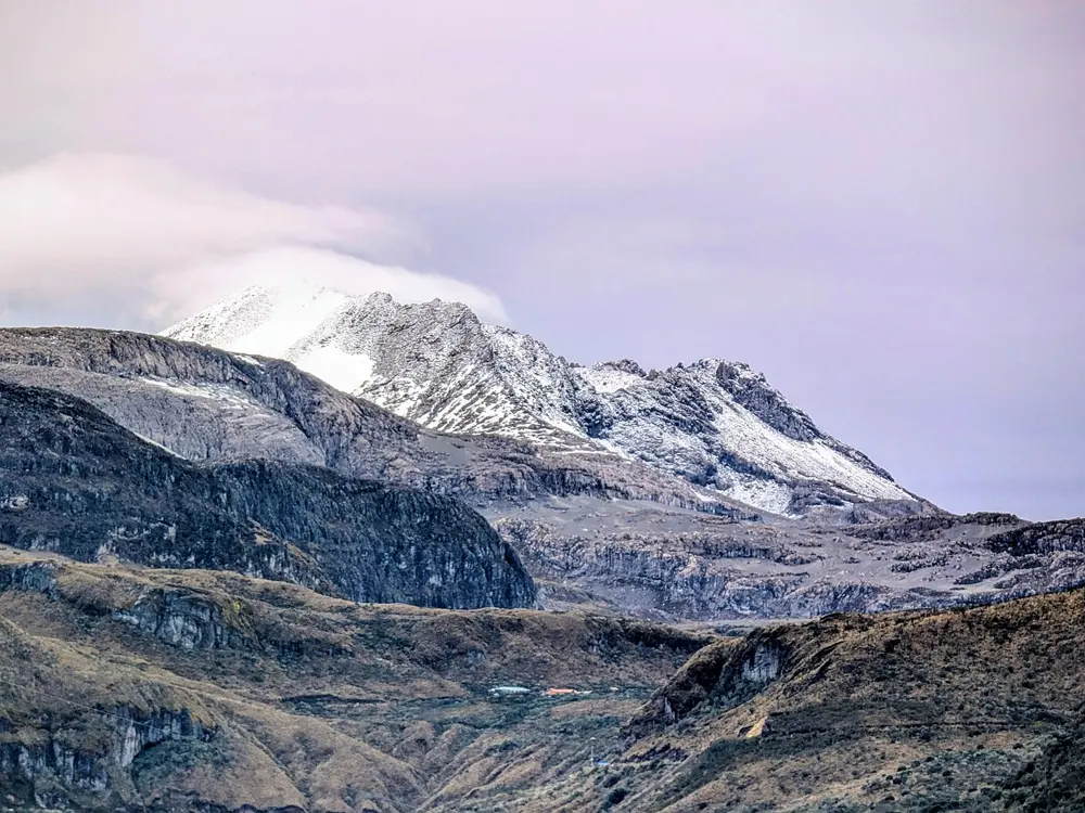
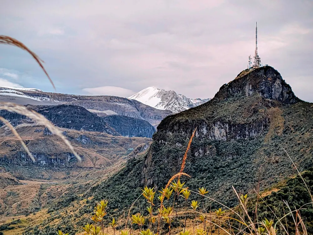
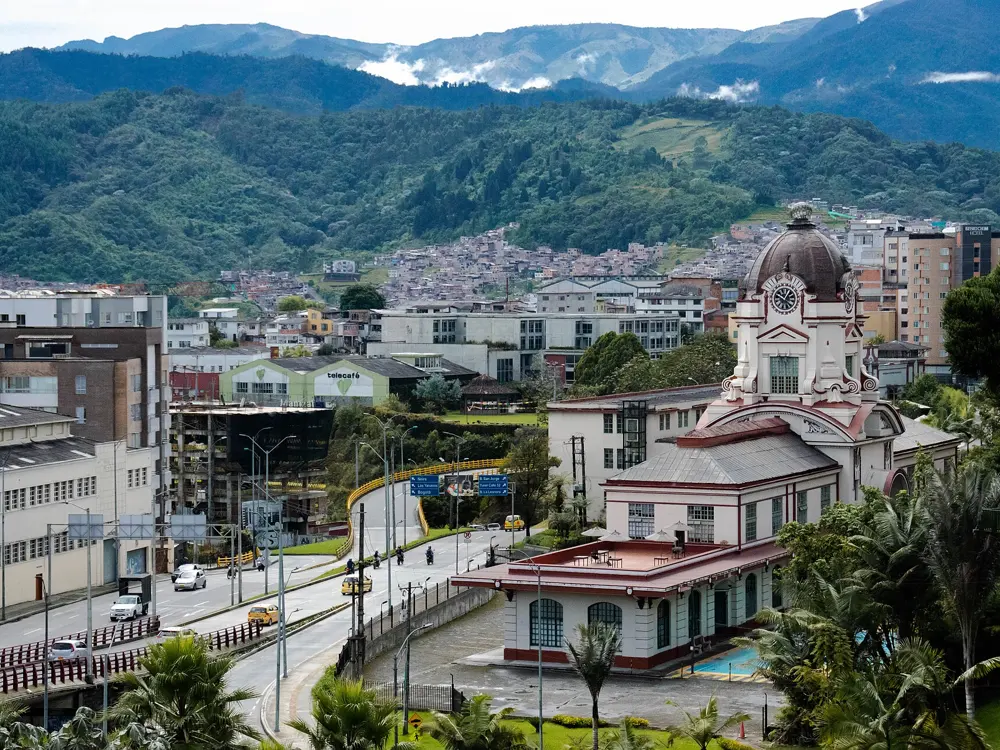
The Carretera Austral
Aysén and Los Lagos, Chile
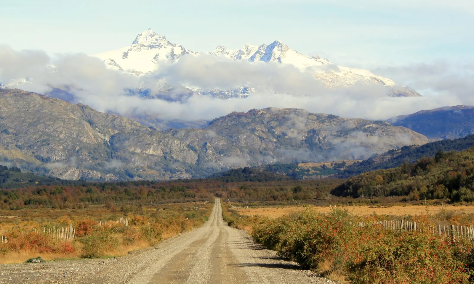
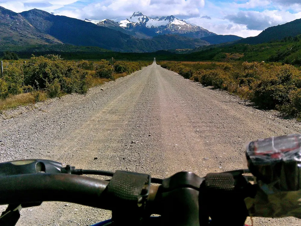
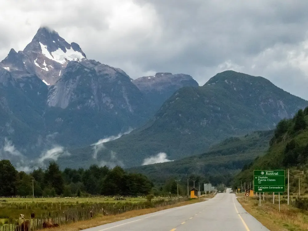
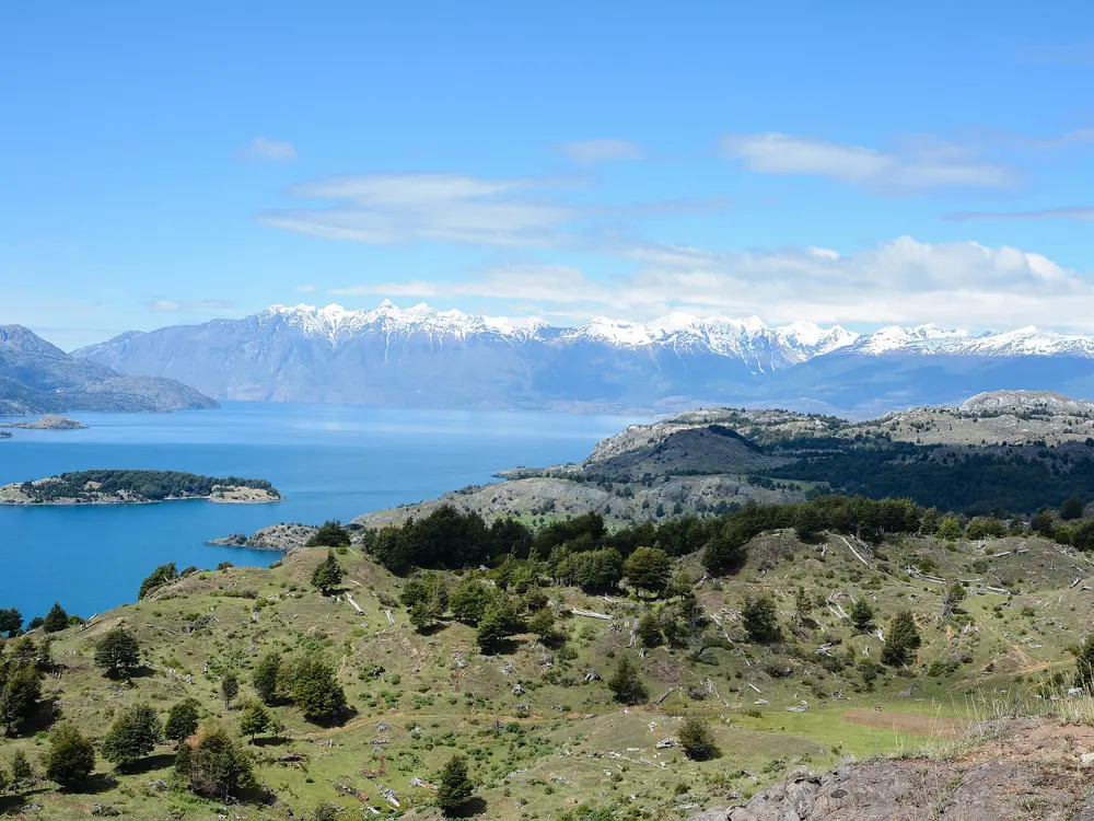
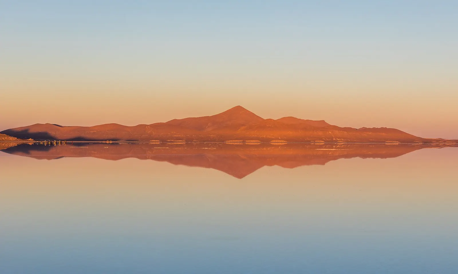
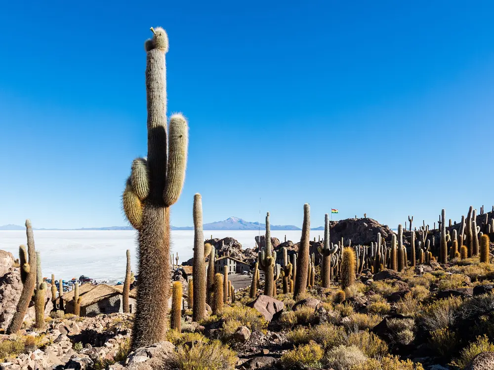
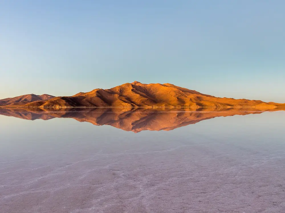
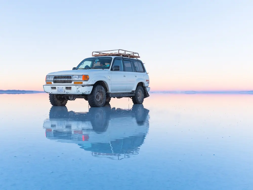
Photos: Rakela (CC BY-SA 3.0), Nicolás Lara (CC BY-SA 3.0), Camila Eyzaguirre (CC BY-SA 3.0), M M from Switzerland (CC BY-SA 2.0)
- Distance
- More than 1,000 km, Puerto Montt to Villa O'Higgins
- Classic climb
- Portezuelo Ibáñez, 15 km and 770 m
- Paved
- About 58% of Route 7 (May 2026)
- Season
- December to March
Why go
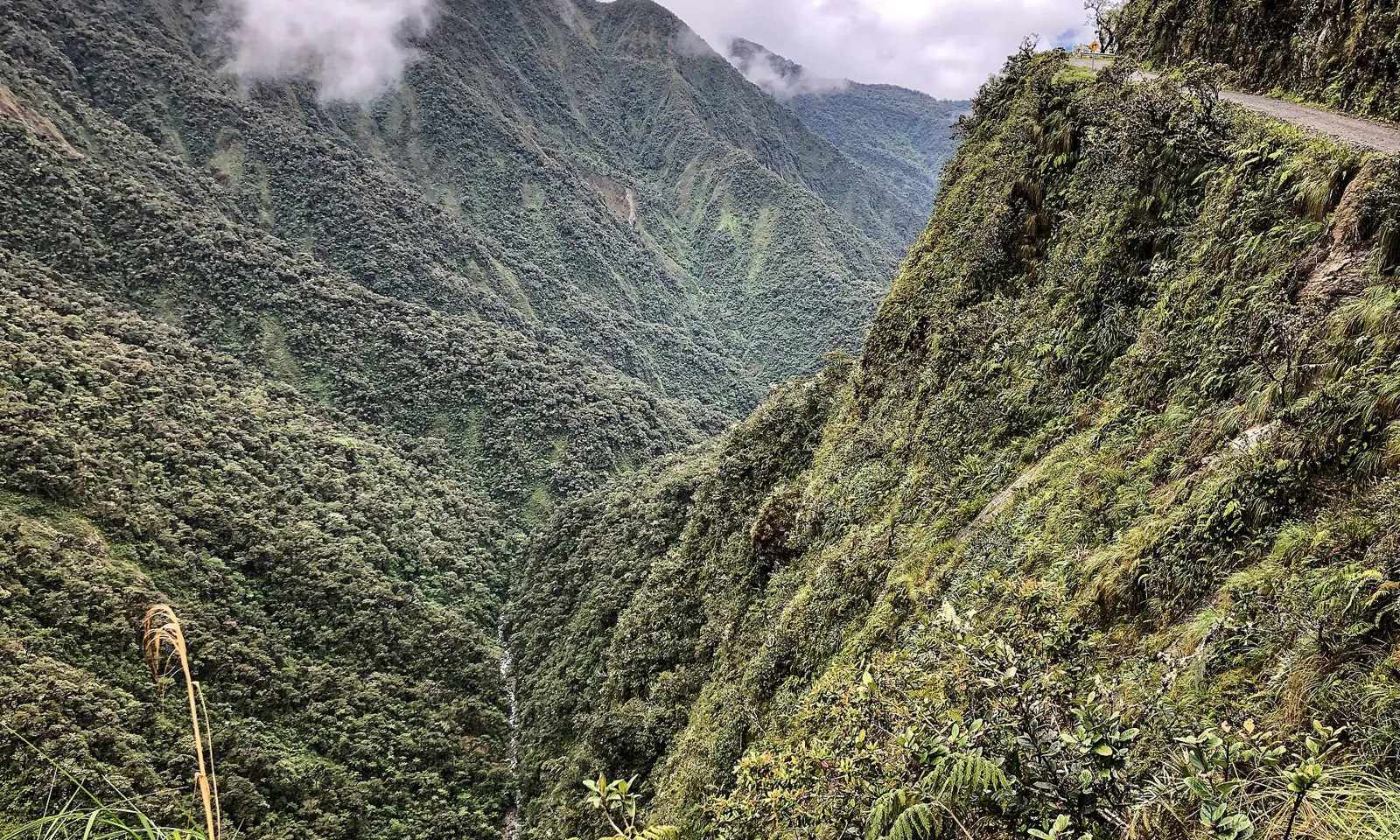
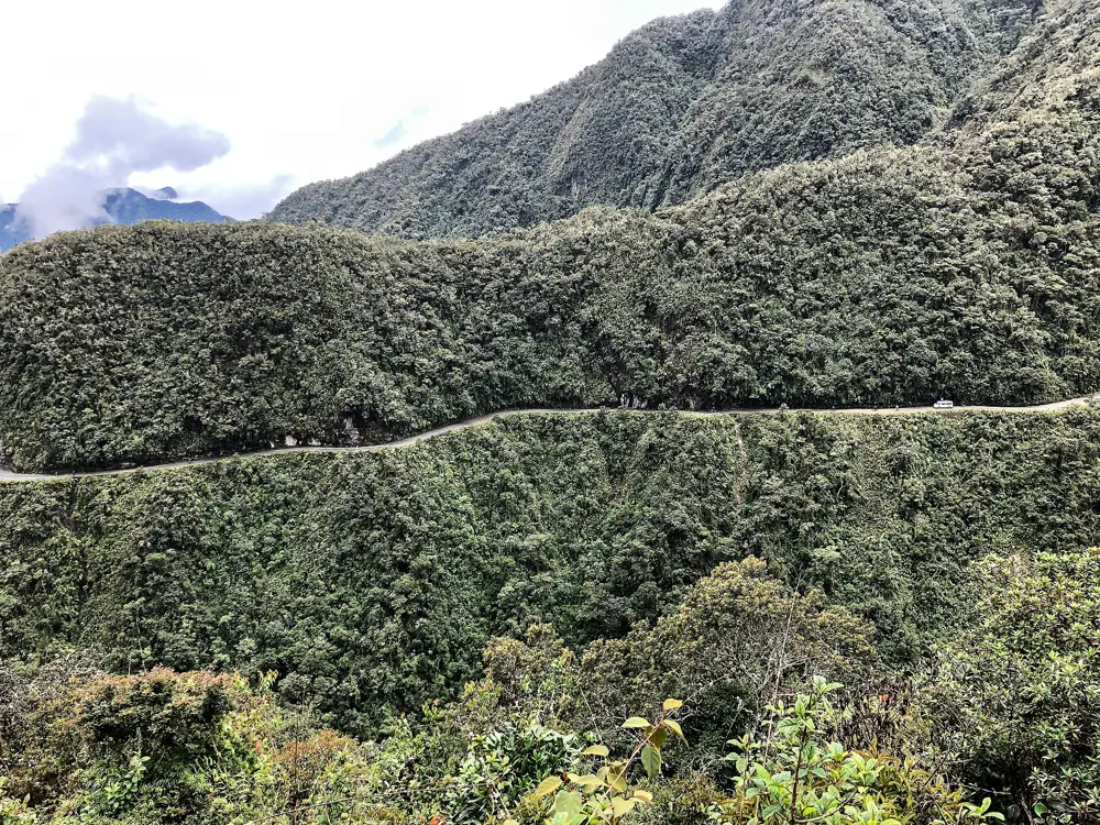
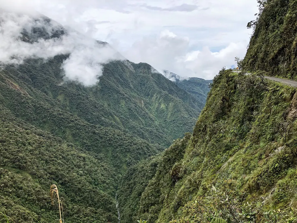
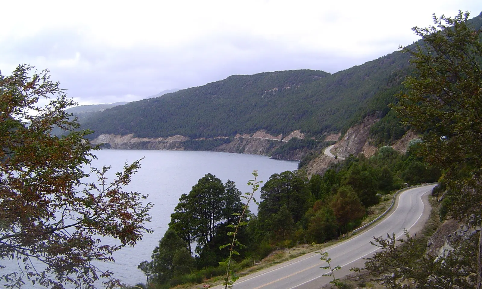
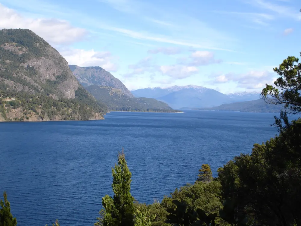
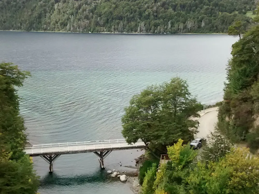
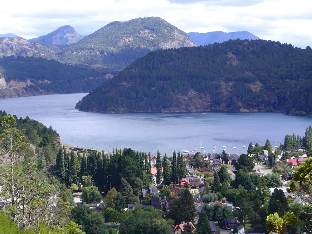
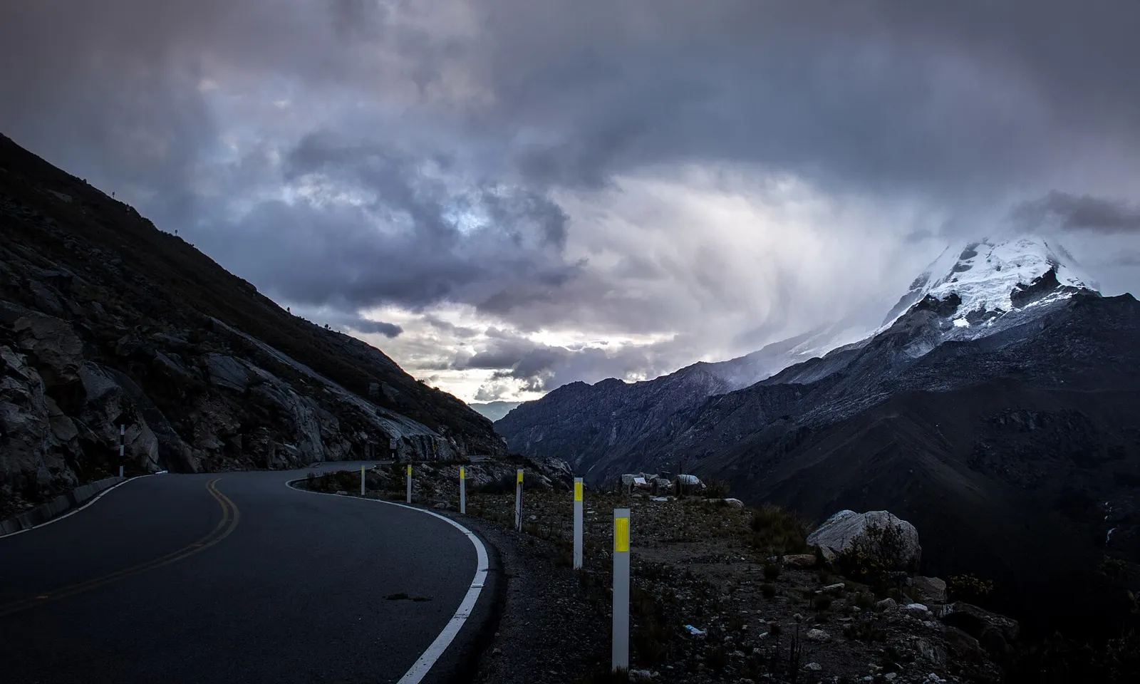
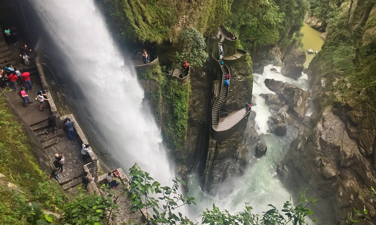
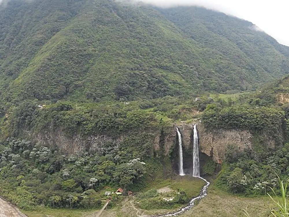
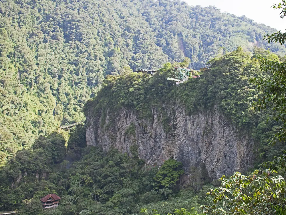
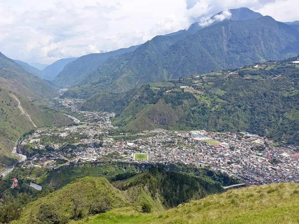
Route 7 runs south from Puerto Montt through cold rainforest, fjords and lakes of an improbable blue, past hanging glaciers. It is one of the most popular long rides in the world, with asphalt and ferries in the north and more gravel the further south you go. At Villa O'Higgins the road stops, and the way on to Argentina is by boat and on foot.
The route
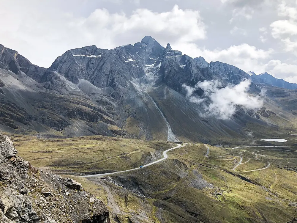
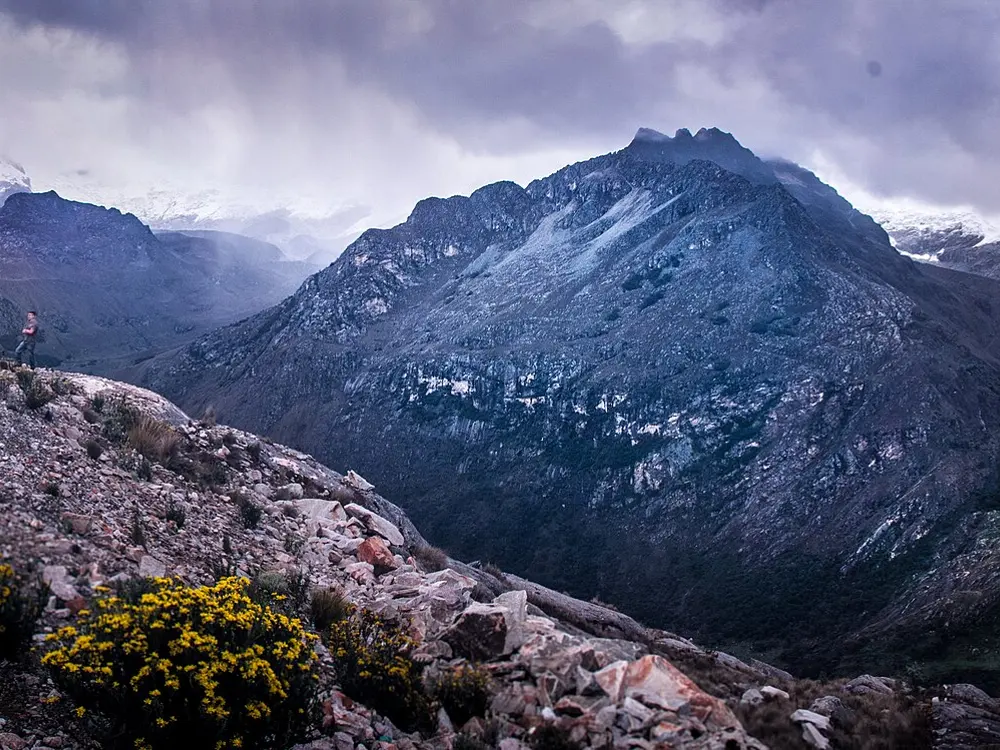
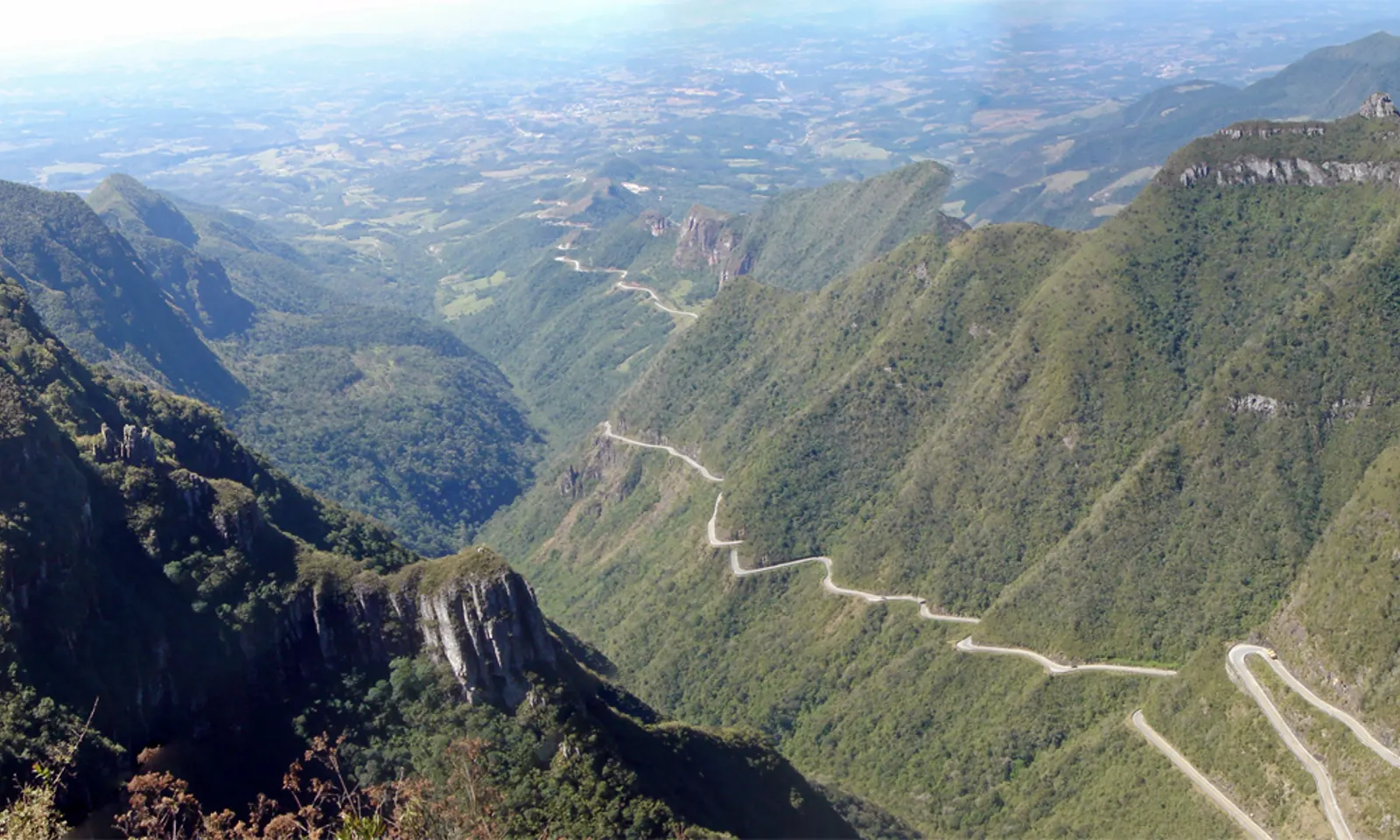
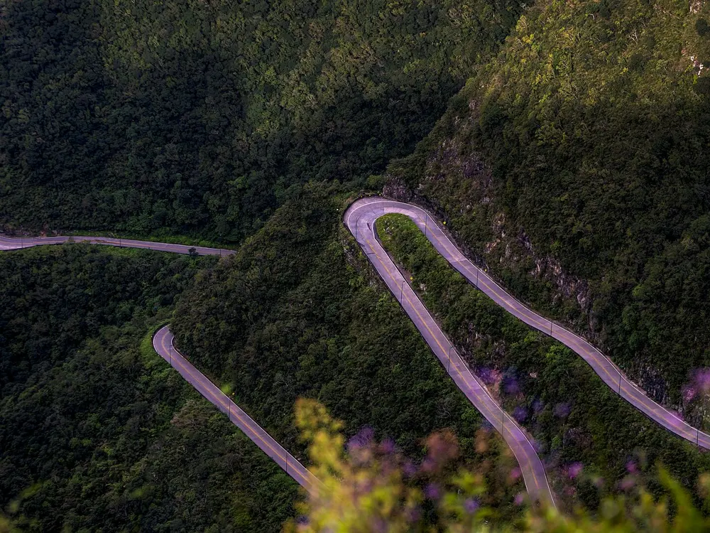
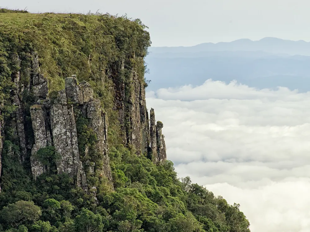
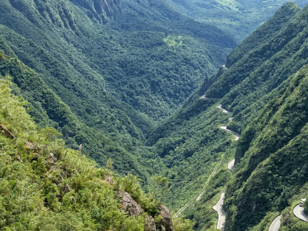
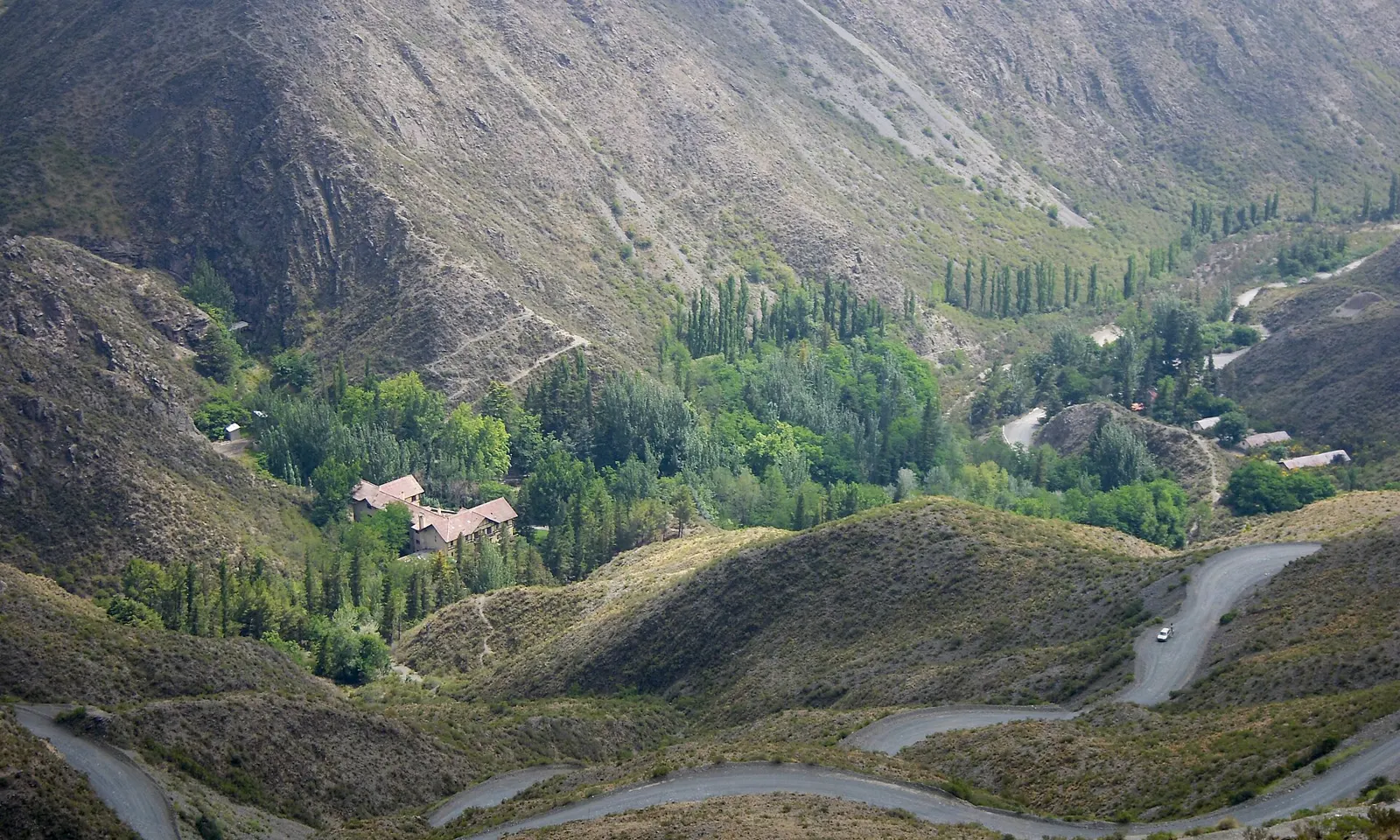
From Puerto Montt a short ferry crosses from Caleta La Arena to Caleta Puelche on the way to Hornopirén, where the road breaks off. A boat runs to Leptepu, you ride about 10 km to Fiordo Largo, and a second boat lands you at Caleta Gonzalo, about 60 km from Chaitén. The road then crosses Queulat National Park to Coyhaique. About 100 km south, the Portezuelo Ibáñez climb, 15 km with six hairpins, drops to Villa Cerro Castillo beneath its jagged peak. Gravel follows Lago General Carrera, Chile's largest lake, to Puerto Río Tranquilo and the boats to the Marble Caves. South of Cochrane a ferry from Puerto Yungay to Río Bravo leads to Villa O'Higgins. The finale crosses Lago O'Higgins by boat to Candelario Mancilla, then about 22 km of track to Laguna del Desierto, a boat or 12 km trail along it, and about 40 km of road to El Chaltén.
When to go
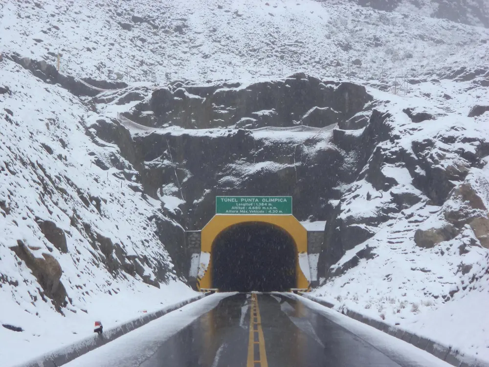
December to March brings the mildest weather and longest days. The Lago O'Higgins boat runs several times a week from November to March. Snow can shut the road in winter, as it did overnight near Chaitén in June 2025.
Getting there
Fly from Santiago to El Tepual (PMC) at Puerto Montt to start in the north, or to Balmaceda (BBA) near Coyhaique to join in the middle.
Permits and booking
The road needs no permit. Buy the Hornopirén to Caleta Gonzalo crossing early, online at barcazas.cl, even with only a bicycle. Book a guided boat or kayak tour for the Marble Caves, the only way in. You leave Chile near Candelario Mancilla and enter Argentina at Laguna del Desierto. Chilean law asks for a white front light and a red rear light after dark, and a helmet in urban areas. In 2026 Vialidad is paving 16.2 km between Bahía Murta and Puente El Belga and 18 km between Fiordo Queulat and Puente Chucao; expect work zones, though no closures are announced.
How hard it is
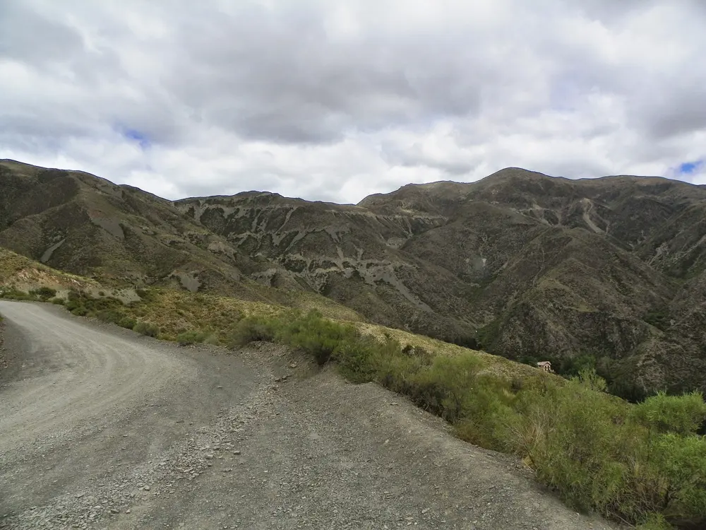
Pavement and gravel alternate, and the southern ripio is loose in places. The Queulat pass is narrow and steep. Portezuelo Ibáñez averages 5.1%, with a steepest 100 m at 11.7%. Services are thin, and near the Argentine border the path turns muddy and technical, so expect to push or carry the bike.
Where to sleep
Riders stop in Hornopirén, Chaitén, Puyuhuapi, Coyhaique, Villa Cerro Castillo, Puerto Río Tranquilo, Cochrane and Villa O'Higgins, and a tent helps on the long gaps between them.
Tips
- Leave spare days at Villa O'Higgins, since weather can stop the Lago O'Higgins boat for several days.
- Carry cash and extra food for the border crossing, as Candelario Mancilla sells only basic supplies.
- Expect horseflies until about the end of January, and stock up on tyres, cash and repairs in Coyhaique before the gravel of the south.