Rungs Labs

Rungs Pilgrimage · Cycling · China

The 10 Best Places to Cycle in China

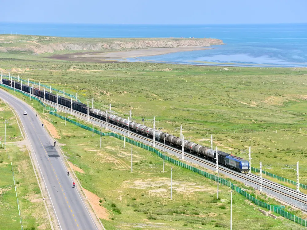
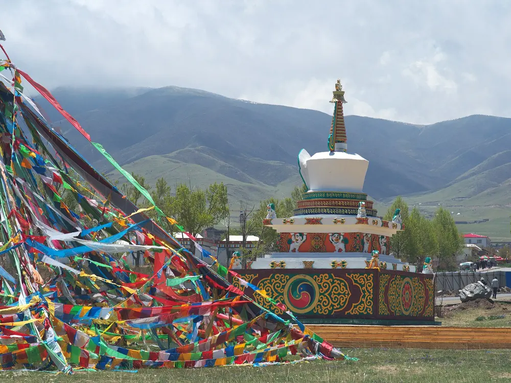
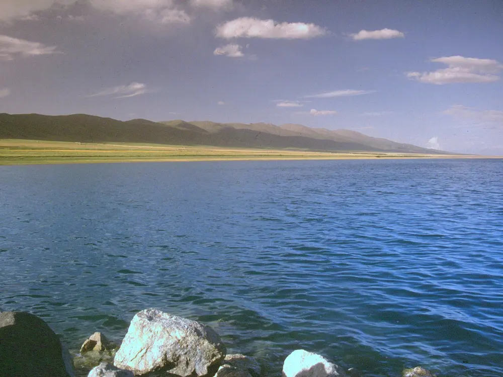
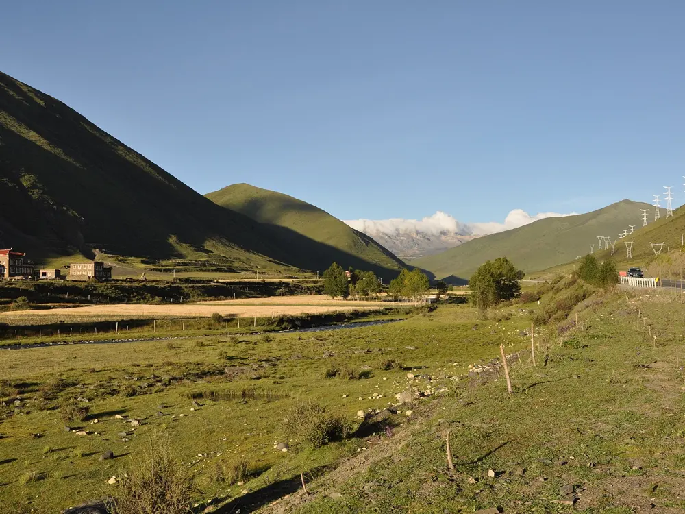
The Qinghai Lake loop, Qinghai Province. Photo: Jucember (CC BY-SA 3.0)

China has some of the longest and highest roads anyone can ride, and it has been adding lakeside greenways, a round-island coastal highway and cycle paths. The big lakes have loops that take a day or two, and the high roads of the west fill with touring riders each summer before snow closes them.

These ten run from the Tianshan in Xinjiang and the Tibetan grasslands of Qinghai and Sichuan to the karst of Guangxi, the coast of Hainan, the lakes of Zhejiang and Jiangsu and the hills north of Beijing. Access is what changes most: the high roads close for winter, a few areas ask foreigners for permits or an organised tour, and races and roadworks shut roads at short notice. For each one you get the classic rides, the best season, how to get there, the rules and closures, how hard it is and where riders stay. Every fact comes from governments, news agencies, race organisers or the routes' own guides, linked at the bottom of the page.

Updated 2026-10-18

  1. 01The Qinghai Lake loopQinghai Province
  2. 02The Sichuan-Tibet Highway (G318) in western SichuanGarze Tibetan Autonomous Prefecture, Sichuan
  3. 03The Duku HighwayXinjiang, Dushanzi to Kuqa
  4. 04Erhai Lake and DaliDali, Yunnan Province
  5. 05Yangshuo and the Yulong RiverGuangxi Zhuang Autonomous Region
  6. 06Round Hainan IslandHainan Province
  7. 07Qiandao LakeChun'an County, Zhejiang
  8. 08Lake Tai (Taihu)Suzhou and Wuxi, Jiangsu Province
  9. 09The Mountains North and West of BeijingBeijing Municipality
  10. 10The Grassland SkywayZhangjiakou, Hebei Province
01 / 10

The Qinghai Lake loop

Qinghai Province
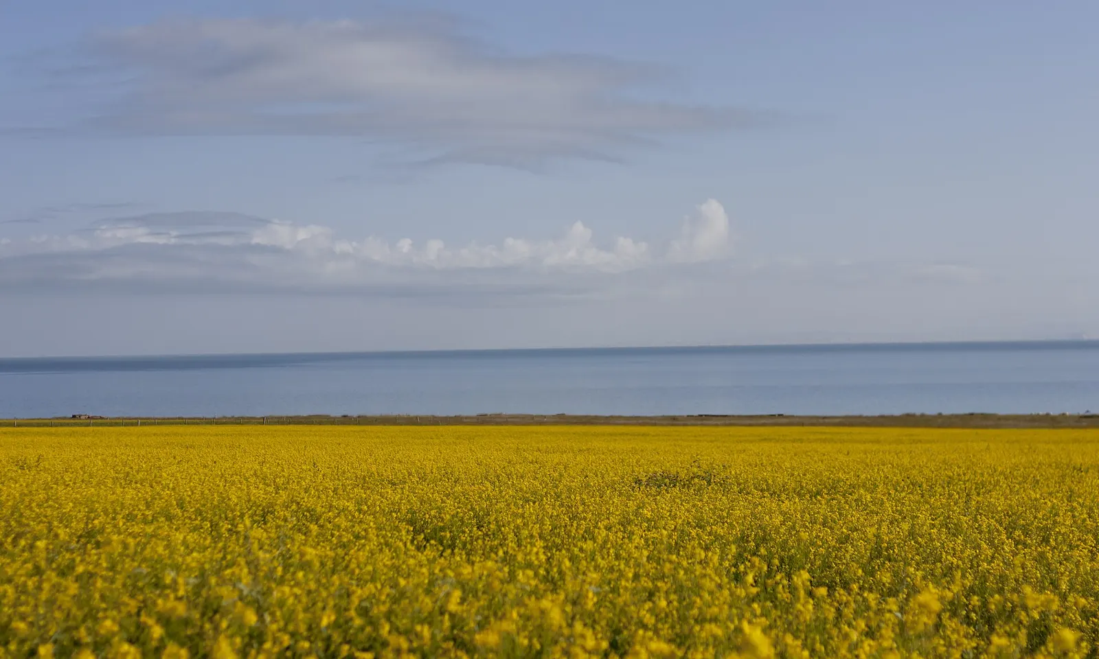
A field of yellow rapeseed in flower stretching to the blue water of Qinghai Lake under a wide sky

Photos: Jucember (CC BY-SA 3.0), xue siyang (df45086) (CC BY-SA 3.0), Popolon (CC BY-SA 3.0), Andreas Gruschke (Freiburg) (CC BY-SA 3.0)

Distance
About 360 km around the lake
Altitude
About 3,200 m on average
Lake surface
About 4,650 sq km
Season
July to September

Why go

Qinghai Lake is China's largest inland saltwater lake and one of the highest plateau lakes in the world, its surface now above 3,196 m. Riding round it is the classic Chinese cycling trip, with blue water on one side and grassland and rapeseed fields on the other. The Tour of Qinghai Lake, held since 2002 and renamed the Tour of Magnificent Qinghai in 2025, is now a UCI ProSeries race.

The route

The ring road is about 360 km, usually ridden over several days. Most riders start in Xihai Town in Haiyan County, by the north east shore, and pass Jinsha Bay, the Erlangjian scenic area on the south shore, Shengquan Bay and Gangcha County on the north side. The north shore also has more than 100 km of cycle greenway. In 2026 the race rode the full circuit for the first time in several years, with a 233 km stage to Gangcha, and finished at Erlangjian.

When to go

July and August are the best months, when the rapeseed flowers. The clubs do most of their business from July to September. The 2026 race ran from 11 to 18 July, so expect crowds and short closures on race days.

Getting there

The lake is 136 km from Xining, the provincial capital. Xihai Town has more than ten registered clubs that rent bikes, lend gear free and offer guides and support, and the largest runs rest stops every few tens of kilometres round the loop.

Permits and booking

We found no permit rule for riding round the lake, and foreigners visit it, though some Qinghai hotels still turn foreigners away, so book rooms that confirm they take foreign guests. The road is free. Erlangjian is ticketed, real name and booked ahead through the official Zhiyou Qinghaihu WeChat mini program, and a ticket gives unlimited entry for 72 hours. Bird Island is closed for ecological protection. Police close road sections on race days.

How hard it is

The lake road is mostly flat. The hard part is altitude: the whole ride is at about 3,200 m, so acclimatise in Xining first. Ultraviolet light is very strong.

Where to sleep

Xihai Town is the natural base. Rest stops, homestays and places to eat line the loop, and the scenic area sells packages with 45 lakeside hotels and homestays.

Tips

  • Rent from a Xihai club if you want support and repairs on the way.
  • Wear a hat, sunglasses, long sleeves and sun cream, as the scenic area advises.
  • Check the race dates before booking a July trip.
02 / 10

The Sichuan-Tibet Highway (G318) in western Sichuan

Garze Tibetan Autonomous Prefecture, Sichuan

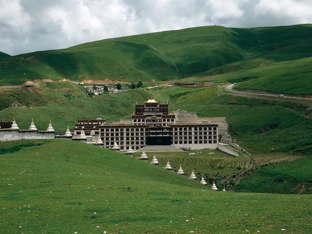
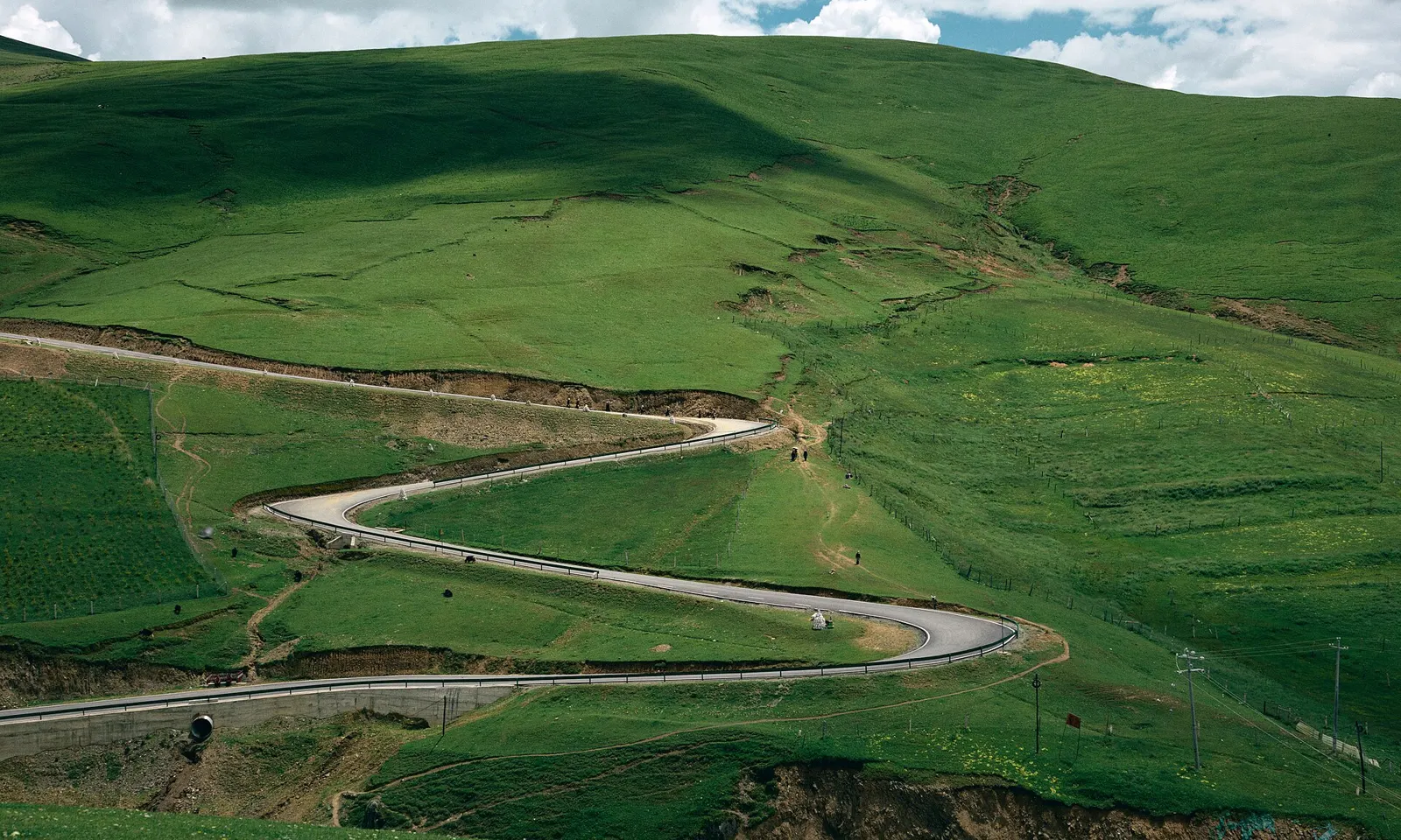
A paved road winding in tight bends across green grassland hills near Litang

Photos: JL Cogburn (CC BY-SA 2.0), liuzusai刘祖赛 (CC BY 3.0), JL Cogburn (CC BY-SA 2.0), JL Cogburn (CC BY-SA 2.0)

Distance
About 450 km, Kangding to Batang
First big pass
Zheduo Shan, 4,298 m
Highest pass
Kazila Shan, about 4,718 m
Best month
October

Why go

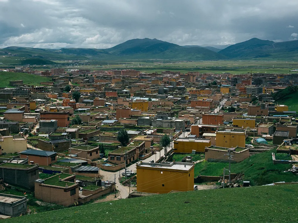
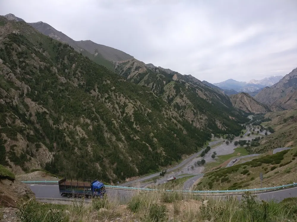
G318 is the old road from Chengdu to Lhasa, and its western Sichuan stretch is the part most cyclists come for. It leaves the valleys for the grasslands of Kham, with Tibetan villages, prayer flags and monasteries, and crosses a run of passes above 4,000 m.

The route

The classic ride starts in Kangding, at about 2,395 m, and climbs Zheduo Shan, 4,298 m and the road's first pass above 4,000 m. The descent reaches Xinduqiao, about 80 km from Kangding. Next come Gaoersi Shan at about 4,412 m, a long drop to Yajiang at about 2,530 m, then Jianziwan Shan at about 4,659 m and Kazila Shan at about 4,718 m before Litang, at about 4,014 m. Haizi Shan, about 4,685 m, leads down to Batang at about 2,580 m, the last Sichuan town before the Tibet Autonomous Region.

When to go

October is the best month. June to September is the rainy season, when landslides can close the road. Winter runs roughly November to March, and Zheduo Shan has an ice season of up to six months.

Getting there

High speed trains run from Chengdu West to Ya'an in 1 to 1.5 hours. From Ya'an, buses use the 135 km Ya'an to Kangding expressway, mostly bridges and tunnels.

Permits and booking

Garze is open to foreign visitors on an ordinary Chinese visa or visa free entry, and Tibetan areas of Sichuan need no Tibet Travel Permit. The UK government warns that China sometimes restricts travel to Tibetan prefectures in neighbouring provinces without notice. The Tibet Autonomous Region is different: foreigners need a Tibet Travel Permit, applied for only by a licensed Tibetan agency, and must travel on an organised tour with a licensed guide throughout. Independent travel is not allowed, so riding on from Batang means joining a supported tour. Garze has announced G318 repairs in Yajiang from 9 to 26 October 2026 and near Xinduqiao from 28 to 30 October, with traffic controlled from 8:00 to 12:00 and 14:00 to 18:00.

How hard it is

This is a hard, high ride, with climbs of more than 2,000 m out of Yajiang and Litang itself sits above 4,000 m, so altitude sickness is a real risk. A Xinhua reporter crossing Zheduo Shan in 2026 recorded blood oxygen of 78. A new G318 tunnel under the pass is still being built, and packed snow turns to ice in winter.

Where to sleep

Kangding, Xinduqiao, Yajiang, Litang and Batang all have hotels and guesthouses, and most riders break the ride at these towns.

Tips

  • Spend a night or two in Kangding before Zheduo Shan, and go down if headaches turn severe.
  • Do not film or photograph police, soldiers or checkpoints.
03 / 10

The Duku Highway

Xinjiang, Dushanzi to Kuqa

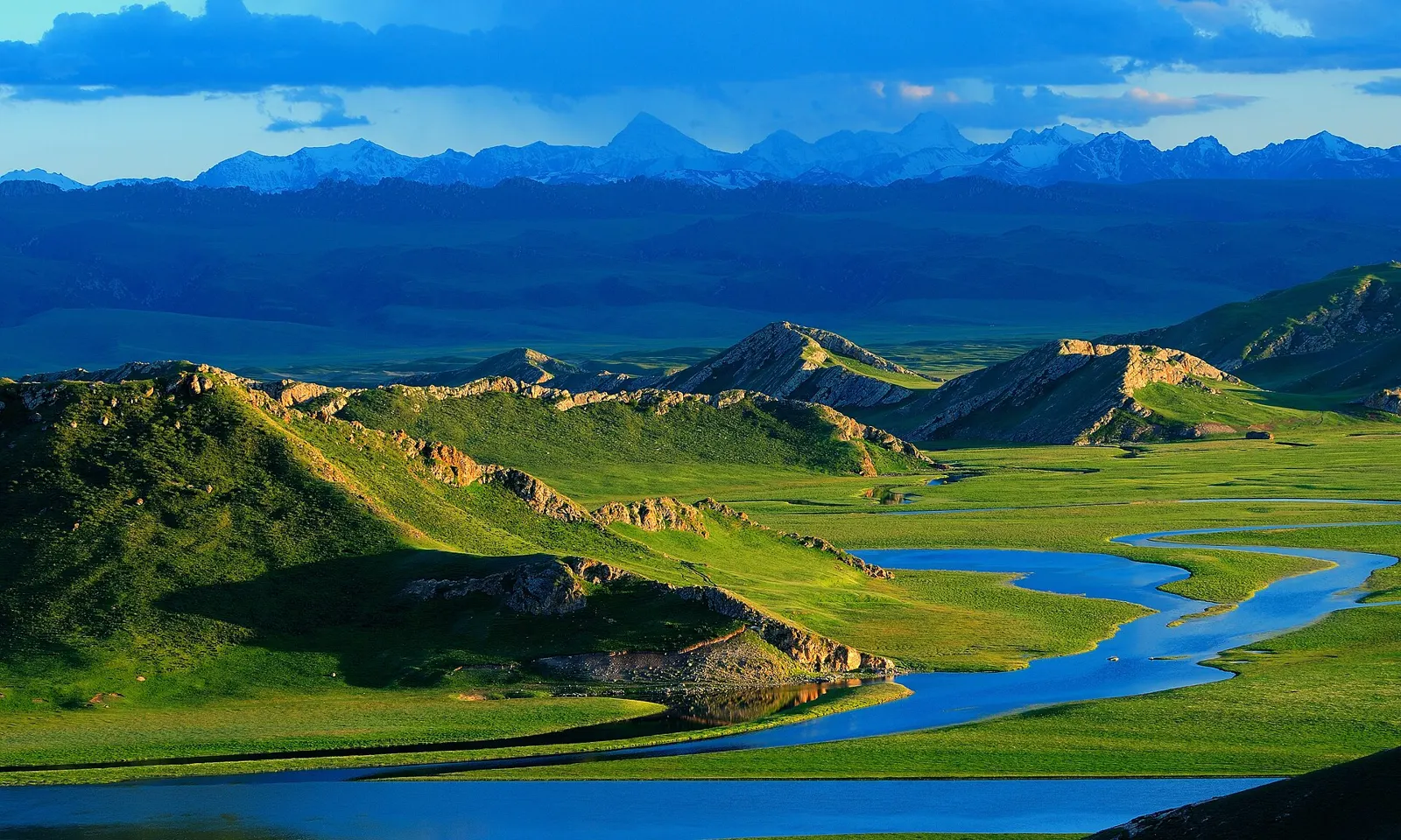
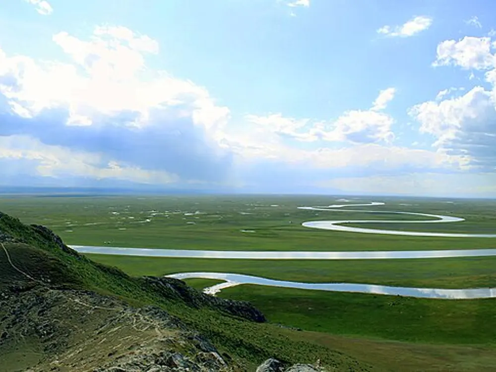
A river winding through the green Bayinbuluk grassland below the snowy Tianshan

Photos: lwtt93 from Shanghai, China (CC BY 2.0), Tigerzeng (CC BY-SA 4.0), Tigerzeng (CC BY-SA 4.0), Srr (CC BY-SA 3.0)

Distance
561 km
Highest sections
Over 3,400 m
2026 season
1 June to 8 October
Daily hours (2026)
8:00 to 19:00 on the northern section

Why go

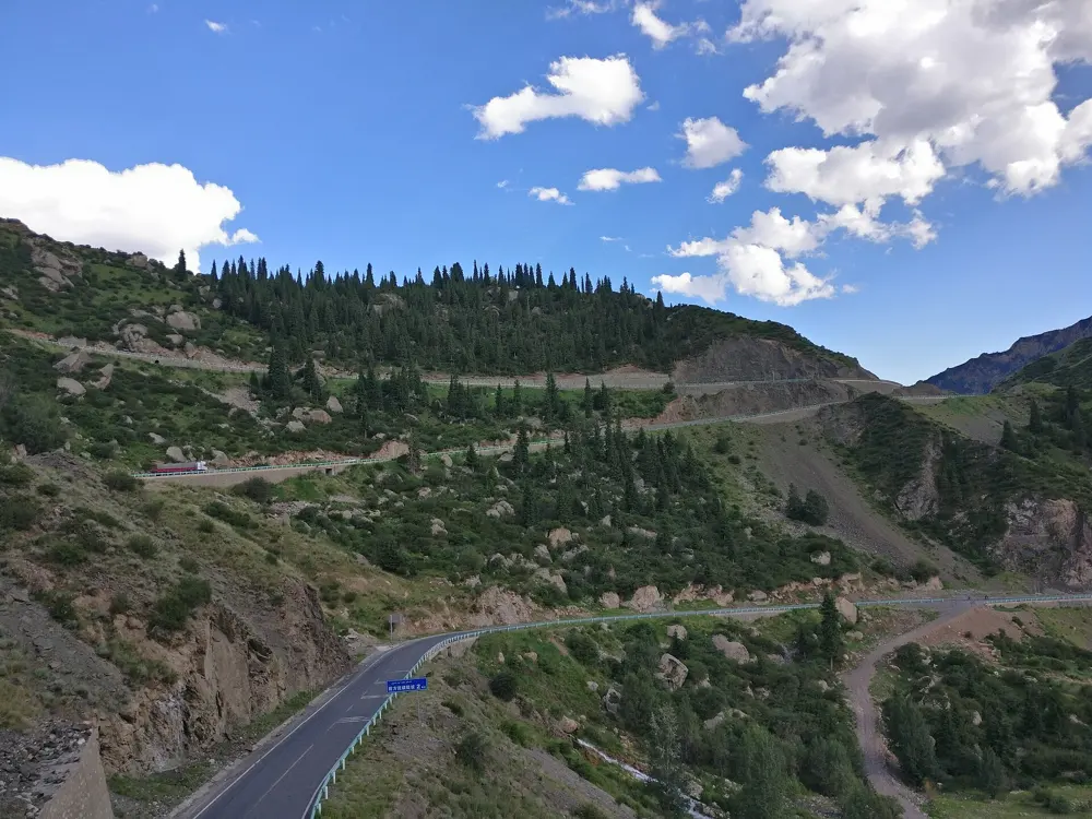
The Duku Highway is the stretch of national road G217 that crosses the Tianshan from Dushanzi, near Karamay, to Kuqa on the edge of the Tarim Basin. It was built in 1983, and most of it runs about 2 km above sea level. It crosses forested valleys, high passes and the Nalati and Bayinbuluk grasslands. Chinese riders treat it as a pilgrimage: in 2025 a group from the Luoping cycling club in Yunnan, average age 61, rode it in six days.

The route

From Dushanzi the road climbs to Haxilegen Pass, the first of four passes at about 3,400 m, then drops to Qiaoerma, where a cemetery honours 168 people who died building the road. Yuximolegai Pass leads down to Nalati. The middle section of about 61 km crosses to Bayinbuluk. The southern section climbs Tielimaiti Pass and runs down past the Tianshan Grand Canyon to Kuqa. The northern section is about 230 km and the southern about 270 km.

When to go

The road closes every winter for snow and ice. In 2026 it opened on 1 June and closed to traffic at 20:00 on 8 October, and the 2027 date will be announced after the spring clearing. July and August are the busiest months.

Getting there

Kuqa has Qiuci Airport, with flights to Urumqi, and a railway station about 7 km from the new town.

Permits and booking

The 2026 official notices are written for motor vehicles and do not mention bicycles. From 25 June 2026 cars needed a booking for the 185 km northern section, with a 200 yuan fine for unbooked drivers from 10 July, and no social vehicles could enter between 19:00 and 8:00 while crews built the new expressway, due in 2032, and a railway. Chinese cycling clubs ride it. For foreigners there is no official rule that we could find: foreign tour groups drove it in 2025, but a Xinjiang travel agency says foreigners need a permit arranged through an authorised agency 60 to 90 days ahead. Ask a licensed Xinjiang agency before you plan.

How hard it is

This is a long ride at altitude, with the highest sections above 3,400 m. On peak days the Hejing County section has carried more than 20,000 vehicles. Snow, rain and fog can close the road for days even in the open season.

Where to sleep

Qiaoerma, Nalati and Bayinbuluk have fuel stations, and village guesthouses along the road offer meals and beds. Beishan village near Kuqa is building a camp for cyclists.

Tips

  • Plan each day to be off the mountain sections by 19:00, when entry closes.
  • Pack a spare day for weather closures and warm layers for the passes.
04 / 10

Erhai Lake and Dali

Dali, Yunnan Province

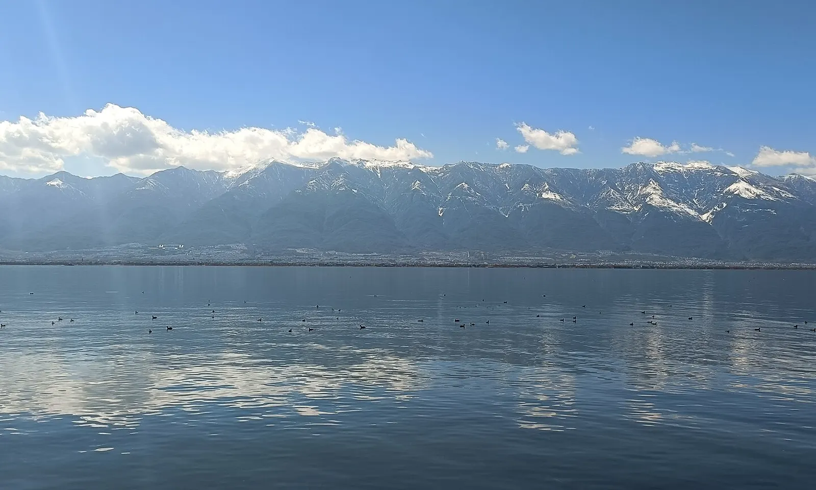
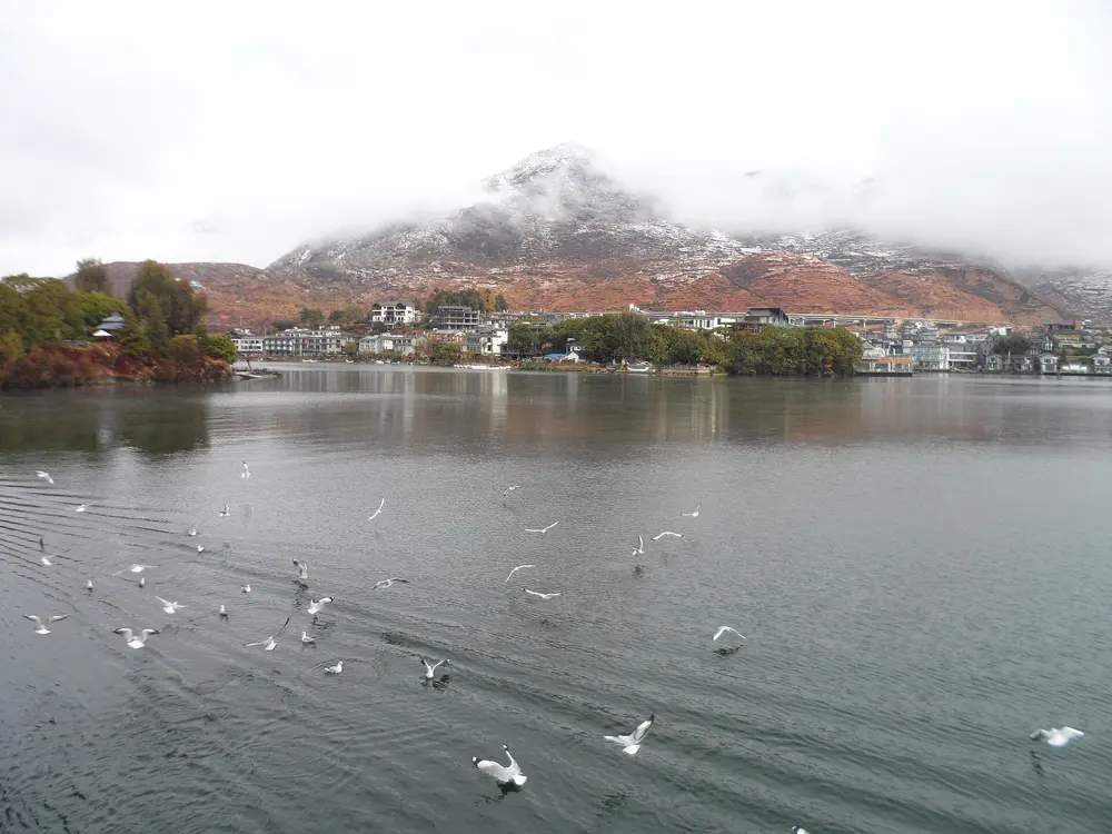
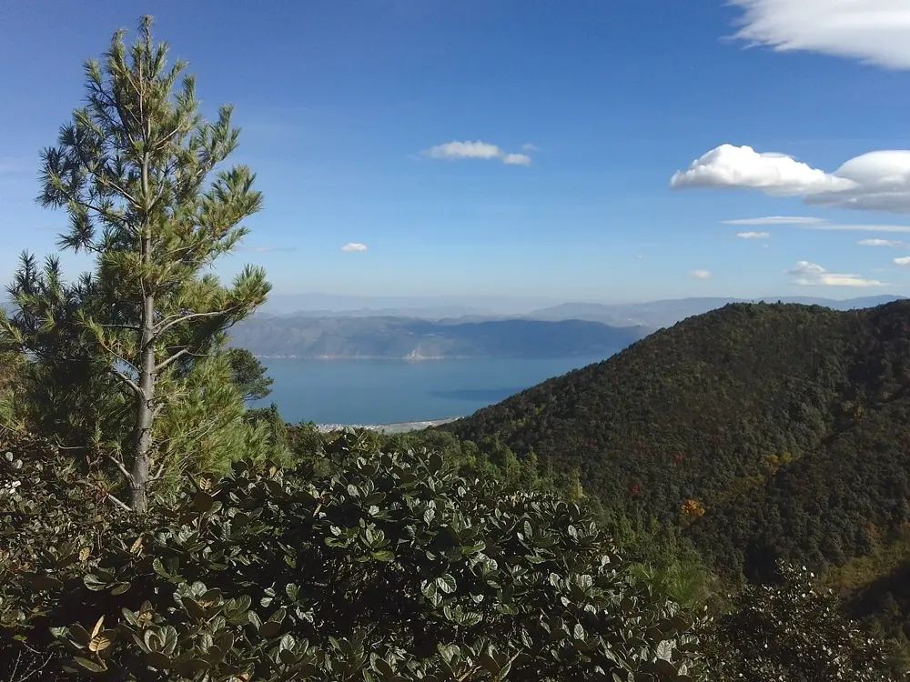
Snow on the long Cangshan ridge above the still blue water of Erhai Lake, with clouds reflected in the lake

Photos: Kcx36 (CC BY-SA 4.0), Kcx36 (CC BY-SA 4.0), 钉钉 (CC BY-SA 4.0), Toni Wöhrl (CC BY-SA 4.0)

Distance
129 km ecological corridor around the lake
Altitude
About 1,975 m at Dali
Above the lake
Cangshan, 19 peaks, highest 4,122 m
Best months
March to May, mid October to November

Why go

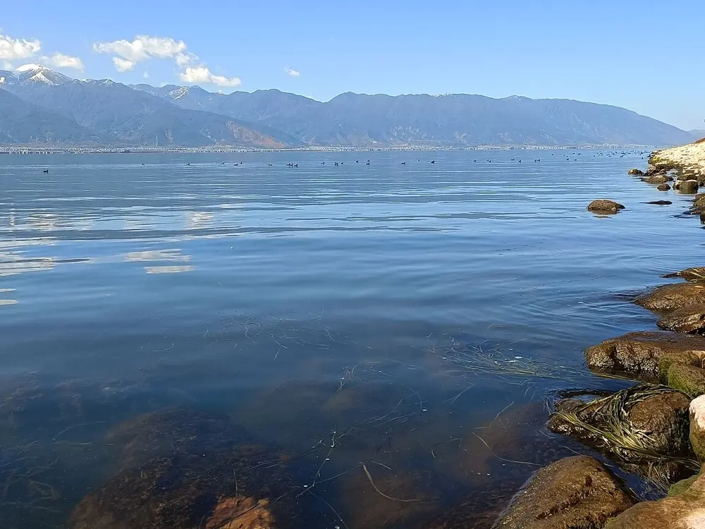
Erhai is a long highland lake with the Cangshan range rising straight from its western shore. Starting in 2018, Dali cleared buildings from the lakeshore, moved 1,806 households and built a 129 km ecological corridor around the water, which now links more than 100 Bai villages, wetlands and old wharves. Riding it is the most popular way to see the lake: the corridor counted more than 17 million visits from January to July 2026.

The route

Most riders start from Dali Old Town or Caicun Wharf and take the west shore, the flattest and busiest side, north past Longkan Wharf, the S bend of Panxi and the rice fields around Xizhou. A common day ride goes from the Old Town to Shuanglang and back, about 50 to 55 km. The full loop as one tour operator plans it is 136 km over two days: Old Town to Shuanglang by Xiaguan, the east shore and Wase, about 66 km, then back by Xizhou, about 70 km. Riding anticlockwise puts the hillier east shore first.

When to go

Dali is mild all year. Rain falls mostly from June to October, with August the wettest month, and the dry months run from November to April. March to May and mid October to November are the best months.

Getting there

Bullet trains from Kunming reach Dali Railway Station in Xiaguan in about 2 hours, and city buses 8, 21 and 26 run on to the Old Town. Bikes and electric bikes are rented in the Old Town and at points along the corridor.

Permits and booking

We found no permit or ticket for riding the corridor. The Dali Bai Autonomous Prefecture is inside the area of China's 240 hour visa free transit, entered through Kunming or Lijiang airports. Travel guides say private cars are kept off the corridor. In 2024 its operator limited electric bike riders to under 60. Washing anything in the lake or on the lakeshore is fined 200 to 1,000 yuan.

How hard it is

The west shore is nearly flat, but the corridor is shared with crowds of walkers, many corners and stretches with no railing above the water. The east shore road has more rolling climbs. Dali is known as a windy city, the air is thin at nearly 2,000 m and the sun is strong.

Where to sleep

Dali Old Town has the widest choice, and Xizhou and Shuanglang have guesthouses in old Bai courtyard houses for a night on the loop.

Tips

  • Ride the west shore early in the morning, before the tour groups and photo crowds arrive.
  • Carry a windproof jacket, sunglasses and sunscreen, and buy food in the villages on the way.
05 / 10

Yangshuo and the Yulong River

Guangxi Zhuang Autonomous Region

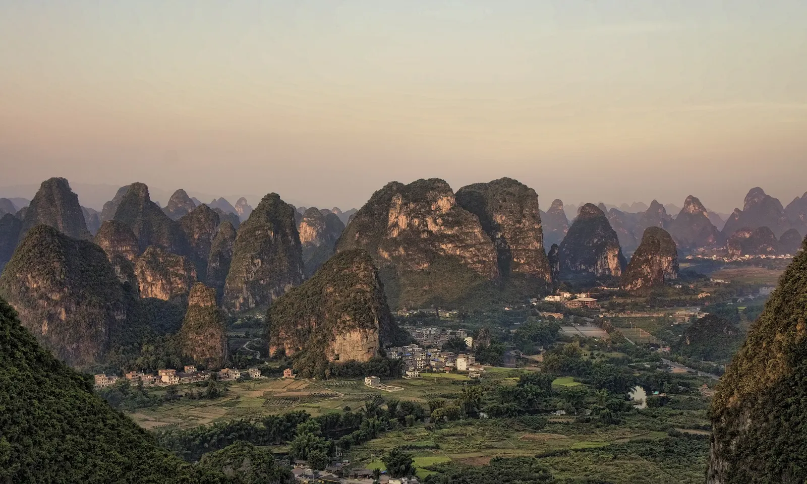
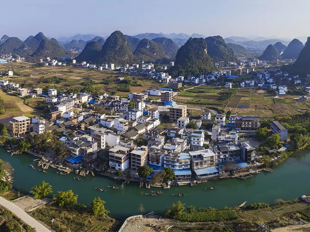
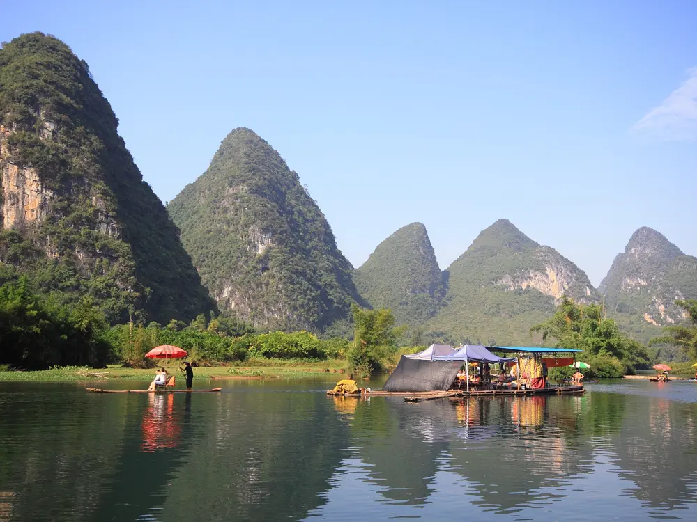
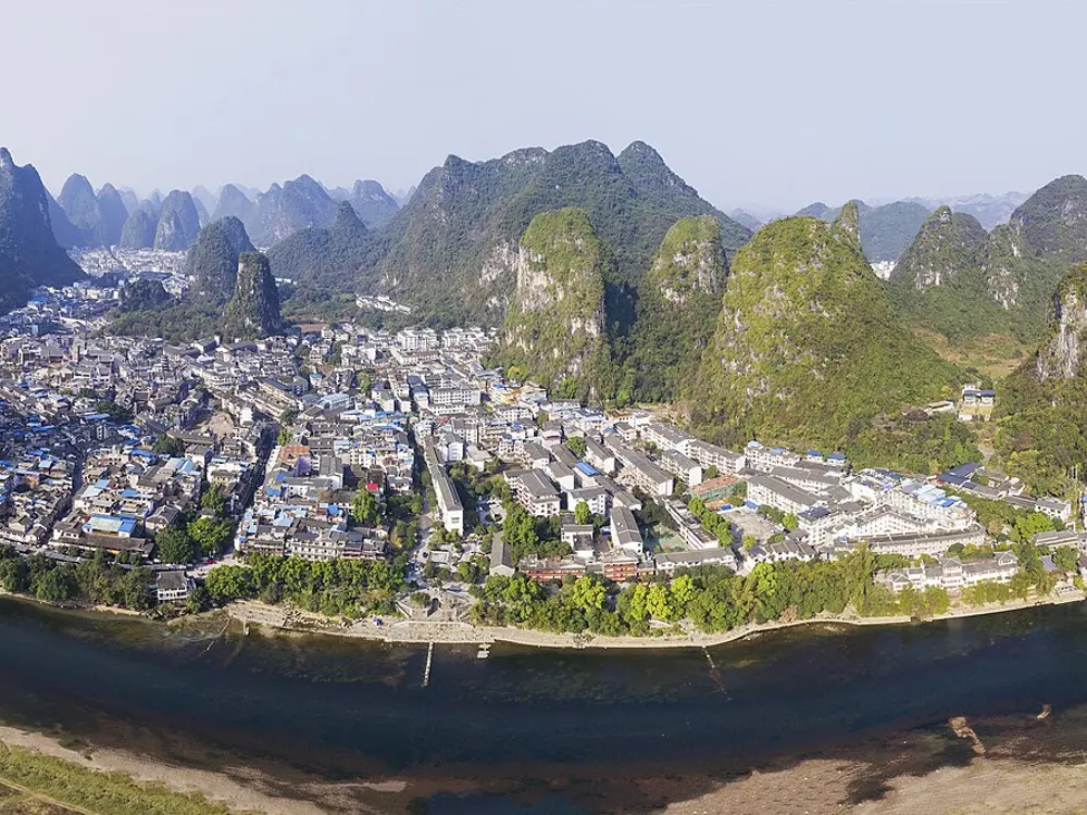
Evening light on rows of limestone peaks above villages and green fields in the Yangshuo valley, seen from Moon Hill

Photos: chensiyuan (CC BY-SA 4.0), Chensiyuan (CC BY-SA 4.0), Zhangzhugang (CC BY-SA 3.0), Chensiyuan (CC BY-SA 4.0)

Distance
19 km for the West Street loop, 55 km for the Fuli and Xingping ride
Longest loop
41 km, with a short ferry
Best season
September to November
Raft add-on
200 or 320 yuan per raft on the Yulong River

Why go

Yangshuo sits among the limestone towers of northern Guangxi, and the lanes around it are some of the easiest riding in karst country. Within minutes of West Street, where bikes are rented, you ride village roads between paddies, pomelo trees and the slow green Yulong River, with peaks rising straight out of the fields.

The route

The classic is the West Street loop of about 19 km, through the paddies on Township Road Y066 to the Yulong River, then along the bank past Chaoyang Weir to Gongnong Bridge and back. A 29 km version runs up to Baisha, whose market fills on dates ending in 1, 4 or 7, and rafts part of the river. The 41 km countryside loop adds the Big Banyan Tree, Moon Hill and a 20 minute ferry at Dutou. For the Li River, ride through Fuli to Xingping, about 55 km, where the view on the 20 yuan note is a short walk from town.

When to go

September to November is the season, with golden rice in mid October. May to August is hot and wet, and flood prone: in June 2026 rising water closed boat traffic on the Li River between Yangshuo and Yangdi and halted all Li River rafts for a time. March and April are rainy and winter is grey.

Getting there

Coaches from Guilin Liangjiang airport take about 90 minutes to Yangshuo bus station for 60 yuan, and a 70 yuan shuttle goes on to West Street. Guilin Yangshuo high speed station is about 6 km east of Xingping and roughly 34 km from Yangshuo town, about 2 hours 20 minutes by train from Guangzhou South, then an hour by bus to town.

Permits and booking

We found no permit rule for the country lanes, and no rule closing the area to foreign visitors. Yulong River rafts cost 320 yuan from Jima to Gongnong Bridge, 200 yuan from Shui'edi. River services stop when water rises, as in June 2026, so check on the day if a raft or boat is part of the plan.

How hard it is

The riding is flat to rolling on paved village roads, with some muddy tracks and a few riverside steps where the bike must be carried. Heat is the real test, and so is the way: signs are in Chinese and map apps miss turns. The 41 km loop is meant for strong riders.

Where to sleep

Most riders stay in Yangshuo town near West Street, where the loops start. Xingping is a quieter base on the Li River, near the high speed station.

Tips

  • Ride early or late in the day: there is little shade and midday heat is hard work.
  • Load an offline map before you set off, and slow down for children and animals in the hamlets.
  • Stay off the stones of Chaoyang Weir, however tempting the photo.
06 / 10

Round Hainan Island

Hainan Province

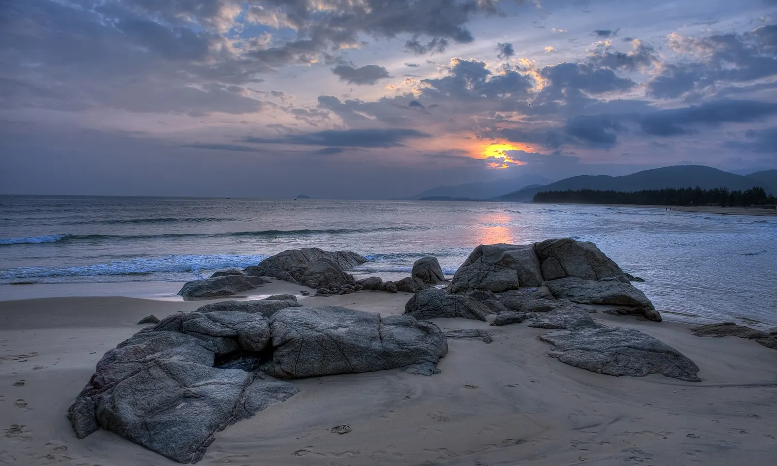
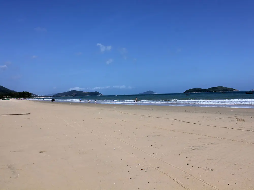
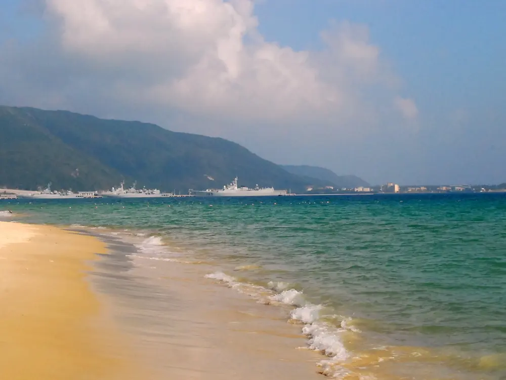
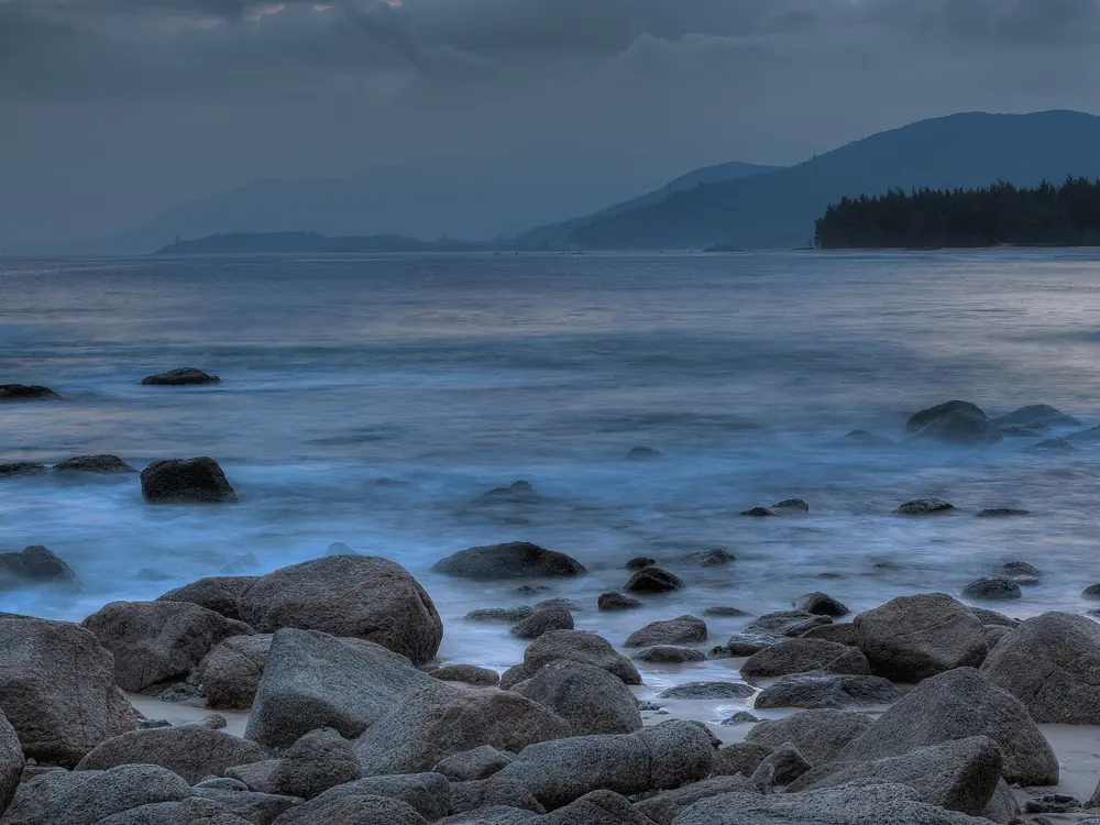
Dark rocks on the sand at Shimei Bay in Wanning at sunset, with the sun low over a wooded headland

Photos: 牛糞 (CC BY-SA 3.0), Zhangmoon618 (CC BY-SA 3.0), Shizhao (CC BY-SA 3.0), 牛糞 (CC BY-SA 3.0)

Distance
988 km main loop
Coastal cities and counties
12
Visa-free stay
30 days for 61 countries
Bike on the island railway
From 88 yuan

Why go

Hainan is China's tropical island, and since December 2023 a scenic road has run all the way round it. The Round-Island Tourism Highway, sold as National Coast Road No. 1, links 12 coastal cities and counties, 64 towns and more than 1,200 villages, with 45 viewing platforms on the way. The Tour of Hainan, a UCI ProSeries stage race, rides parts of it each spring.

The route

The main loop is 988 km, 453 km of it newly built or rebuilt. From Haikou it runs east and south through Wenchang, Qionghai, Wanning, Lingshui and Sanya, then north up the drier west coast through Ledong, Dongfang, Changjiang, Danzhou, Lingao and Chengmai. China Daily reported a 46 km cycling path and a 21 km walking path on sections closed to cars. For hills, the 466 km Tropical Rainforest National Park road, opened in December 2024, loops through the mountains of Lingshui, Baoting, Ledong and Changjiang. The 2026 Tour of Hainan stage to Wuzhishan climbed Atuoling, 8.1 km at 5.3 percent.

When to go

The pro race is held in April, and its 2026 preview warned of heat that would feel close to 40 C. Typhoons are the real hazard: in 2024 forecasters expected five tropical cyclones between 1 September and 15 November, and Typhoon Yagi hit that September.

Getting there

Fly to Haikou or Sanya, or take the ferry across the Qiongzhou Strait. Since 20 September 2026 a pilot lets you take a bike on the round-island high-speed railway, booked in the 12306 app, from a base price of 88 yuan. It serves 13 stations, including Haikou, Wenchang, Qionghai, Wanning, Lingshui, Sanya, Ledong and Dongfang.

Permits and booking

We found no permit rule for riding the island. Ordinary passport holders from 61 countries, after Kyrgyzstan and Vietnam were added on 20 August 2026, can enter Hainan without a visa through its open ports and stay up to 30 days in the province, though not to work or study. The island-wide special customs regime that began on 18 December 2025 covers goods: officials say it brings no procedural changes for tourists. Bicycles are barred from expressways by national law.

How hard it is

The coast road is mostly flat, and the challenge is distance, heat and humidity. The interior is where the climbing is, with long climbs of 5 to 6 percent on race routes.

Where to sleep

Haikou, Sanya and the beach towns along the east coast have hotels at every price, and the loop splits easily into stages between them. Inland, the Maogan service centre in Baoting offers rooms on the rainforest road.

Tips

  • Bring a bag that fits your bike with the front wheel off, which the railway pilot requires.
  • Watch the forecast from late summer into November and leave spare days in case a typhoon stops ferries and flights.
  • Start early and carry plenty of water.
07 / 10

Qiandao Lake

Chun'an County, Zhejiang

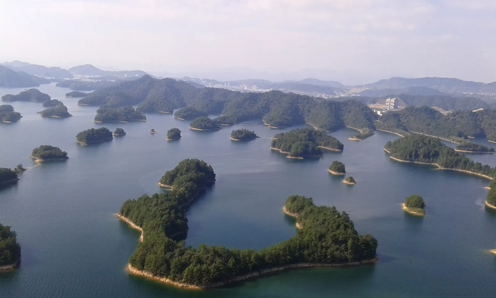
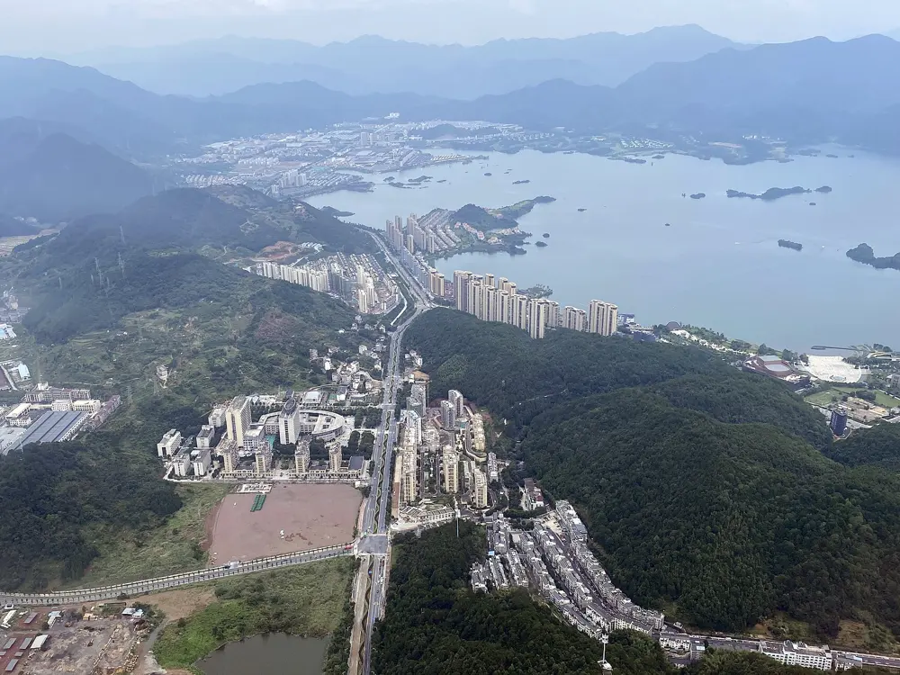
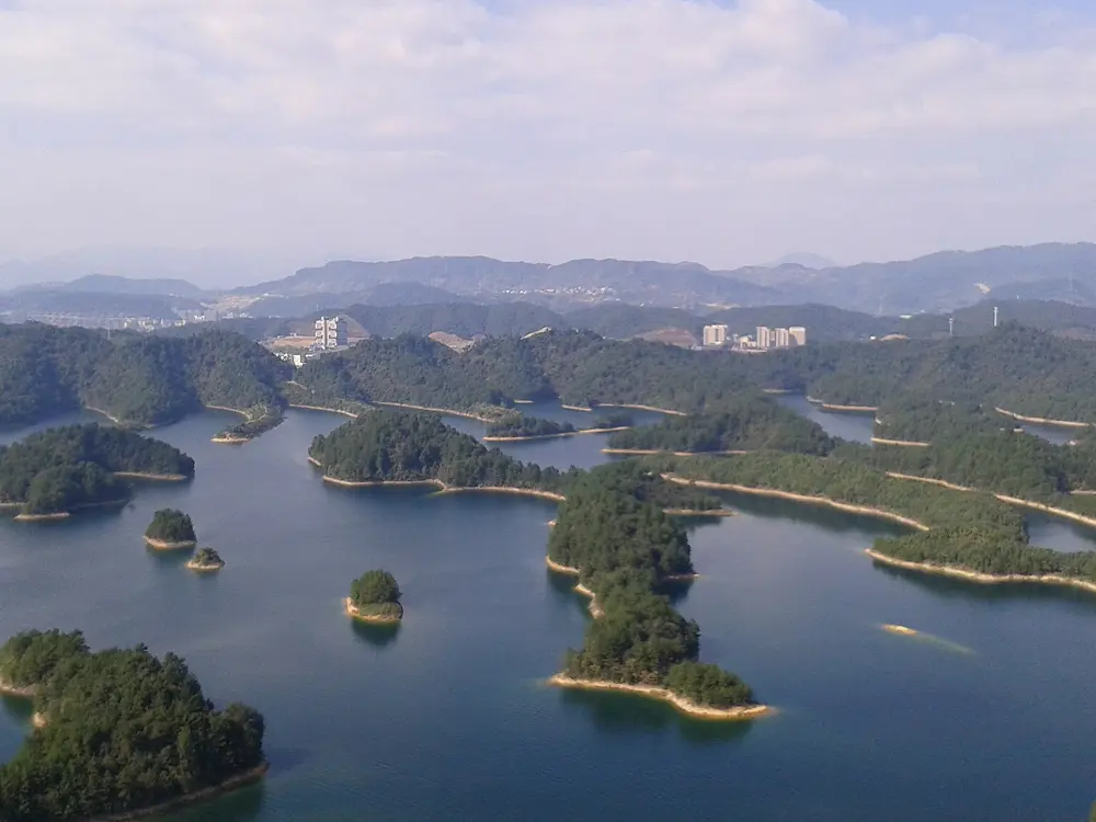
Wooded islands scattered across the blue water of Qiandao Lake, seen from above with hills behind

Photos: Pauloleong2002 (CC BY-SA 4.0), MasaneMiyaPA (CC BY-SA 4.0), HCCB3947 (CC BY-SA 4.0), Pauloleong2002 (CC BY-SA 4.0)

Distance
About 140 to 150 km for the big lake loop
Greenway
More than 200 km in all
Race loop
136 km
Rider stations
Nine

Why go

Qiandao Lake, the Thousand Island Lake, fills the valleys of Chun'an County west of Hangzhou, and its shore has one of the most developed cycling greenways in China. Most of the way you ride a path apart from the cars, through tunnels and over bridges, with islands of pine and bamboo on one side and tea villages on the other. Chun'an hosted the road cycling of the Hangzhou Asian Games, and the lake loop is still raced every year.

The route

People's Daily puts the lakeside greenway at more than 200 km, with a big loop of over 150 km and a small loop of over 50 km. The big loop follows the Chunyang road along the south shore and the Qianfen road along the north, meeting at Fenkou, and riders usually split it into two days of about 70 km with a night in Fenkou. The small loop starts at Qiandao Lake Bridge and runs through tunnels to the northeast lake area. The Qiandao Lake road race uses a 136 km loop that starts and finishes at Xiushui Square. It drew more than 7,000 riders in 2024, its 18th edition, and in September 2025 it ran as a UCI Gran Fondo World Series round. The national championship course from the Jieshou Sports Centre, which became the Asian Games course, has 37 bridges and 30 tunnels.

When to go

Spring brings fields of rapeseed in flower beside the path, and autumn is crisp. The races are held in September and November. Summer is hot, with afternoon showers.

Getting there

Qiandaohu railway station, on the high speed line from Hangzhou to Huangshan, opened in 2018 right beside the lake. Chun'an has added self service bike points at the station, and the rider stations in town rent bikes.

Permits and booking

We found no permit rule for the greenway, and guides say it is free to use; the cruise boats to the islands are a separate ticket. Most of the greenway is bike only, but some stretches share the road with cars, and riders warn of trucks on the Qianfen road. We found no closures reported for 2026.

How hard it is

The small loop is gentle, with about 160 m of climbing reported. The big loop is harder: China Daily's reporter found numerous uphill stretches, and the north shore has more climbing and mixed surfaces. Tunnels are frequent, so carry lights.

Where to sleep

Qiandao Lake town has hotels of every size. Chun'an has guidance for cycling friendly hotels, and riders on the big loop book village guesthouses along the greenway or stay in Fenkou.

Tips

  • Rent a bike with gears for the big loop, since the climbs come on the second day.
  • Download the county's Qiyu Qiandaohu app for routes and events.
  • Slow down on descents into tunnels.
08 / 10

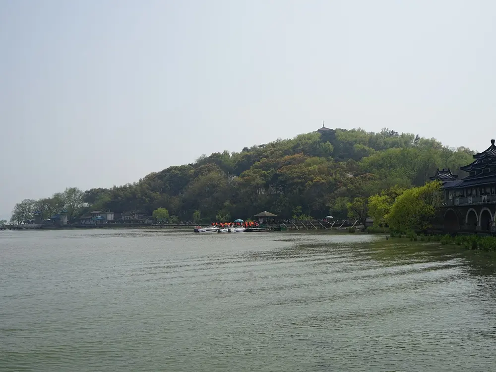
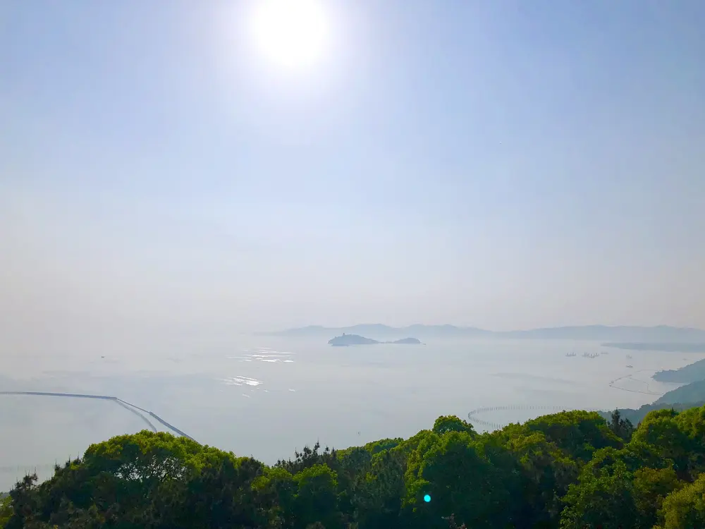
Lake Tai (Taihu)

Suzhou and Wuxi, Jiangsu Province

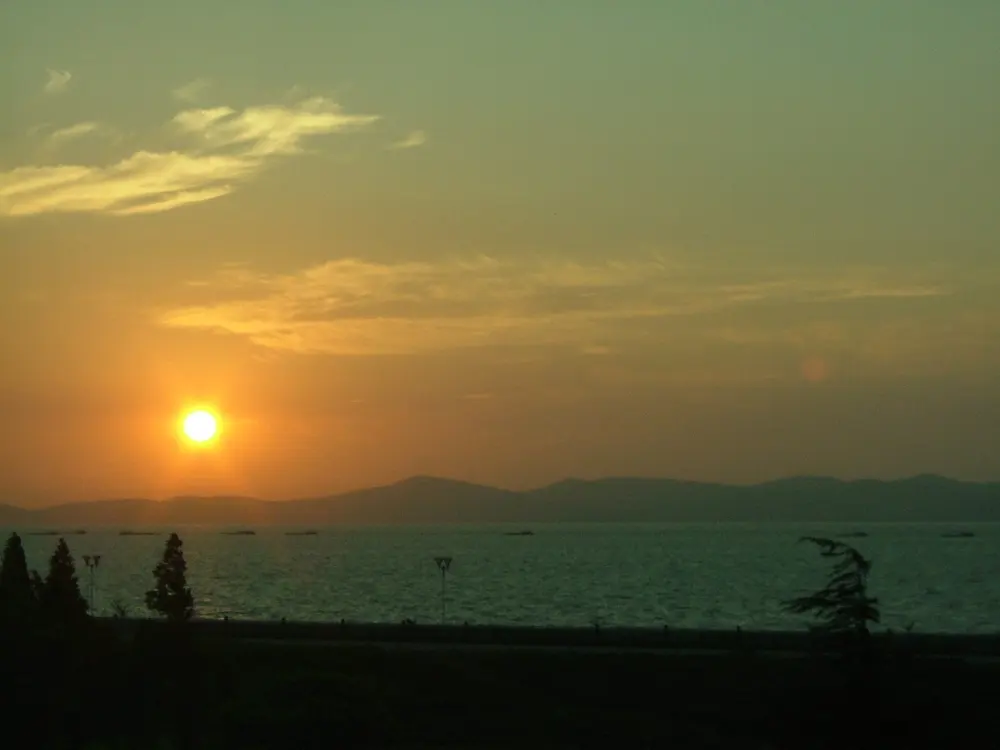
A low red sun setting over Lake Tai, with hazy hills and small boats on the water

Photos: 白士 李 (CC BY 2.0), me () (Public domain), Huanokinhejo (CC BY-SA 4.0), 賈夢龍 (CC BY-SA 4.0)

Distance
286 km on Suzhou's Taihu No. 1 Road, 108 km on Wuxi's Taihu 108 Corridor
Taihu Bridge to Xishan
4,308 m in three spans
Tour of Taihu Lake 2026
12 to 16 September, 588.35 km in five stages
Best season
September to November

Why go

Suzhou has lined its shore of Lake Tai with the Taihu No. 1 Road, which the city says runs 286 km past 15 lakeside towns and 80 villages, with a separate bike lane on some sections. Wuxi's Taihu 108 Corridor follows 108 km of the north shore. The riding is mostly flat, the water stays beside you for hours, and Xishan, the largest island in the lake, is joined to the mainland by bridge.

The route

From Suzhou, ride west along Taihu Avenue to the Mashan visitor centre in Suzhou New District, a rider station with repairs. The Taihu Bridge leaves Xukou for Xishan, now Jinting town, in three spans linked by two islets. On the island, Xiegushan Road runs down the east side on smooth, quiet asphalt. In Wuxi, the corridor follows the Shili Mingzhu Dike and circles the Mashan peninsula, where the Tour of Taihu Lake ended on 16 September 2026 with a 137.48 km stage of lakeshore and hill roads. Suzhou's Taihu cycling park, opened on 1 February 2026, has a 5 km cross country loop and a pump track.

When to go

China Daily names September to November as the best time on the Suzhou shore. Avoid the plum rains: Suzhou's began on the night of 18 June 2026, and in Jiangsu they have started between 6 and 30 June over 60 years. Wuxi says May and June bring the best sunrises.

Getting there

Suzhou has no major airport and is reached by train from Shanghai. Suzhou Metro Line 5 ends at Taihu Xiangshan, by the lake in Wuzhong District, and buses continue to Xishan. A tram serves the cycling park. In Wuxi, bus No. 1 runs to Yuantouzhu.

Permits and booking

We found no permit rule for the lakeshore roads or the bridge. Nationals on China's unilateral visa exemption list, updated 17 February 2026, can enter without a visa for up to 30 days. Races close roads: for the 2025 Suzhou Taihu cycling challenge, parts of the course were controlled from 21:00 the night before until 12:30 on race day. Works on Wuxi's Qili Fengguang Dike began in 2025 and leave room for future bike lanes.

How hard it is

Most of the shore is flat. On the Taihu Bridge you ride in a painted lane beside fast cars, and weekend traffic on Xishan builds after about 10:00. The Mashan loop adds short climbs.

Where to sleep

Xishan has farmhouse guesthouses and some resort hotels, around Jinting, Dongcun old village, Hengshan island and Tangli. In Suzhou New District, the Luoxin Podu resort doubles as a rider station.

Tips

  • Cross the Taihu Bridge early on weekends.
  • Trip.com lists bike and e-bike rental on Xishan at about 50 yuan a day.
  • In September, check for race closures around Wujiang and Mashan.
09 / 10

The Mountains North and West of Beijing

Beijing Municipality

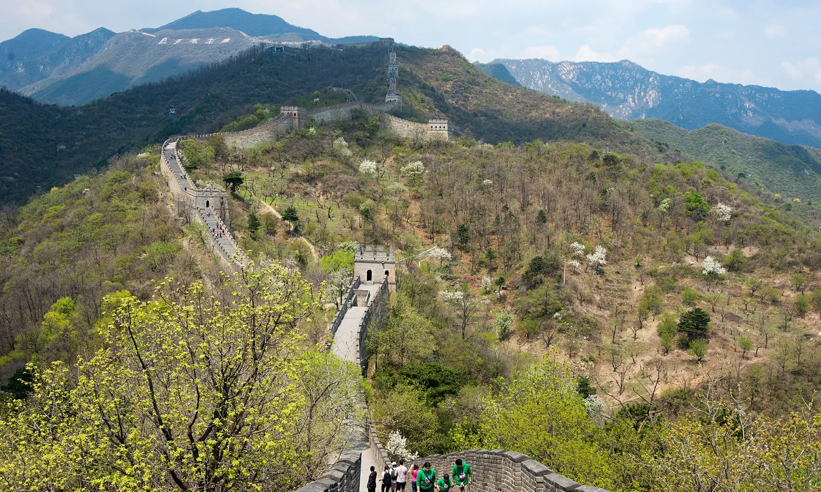
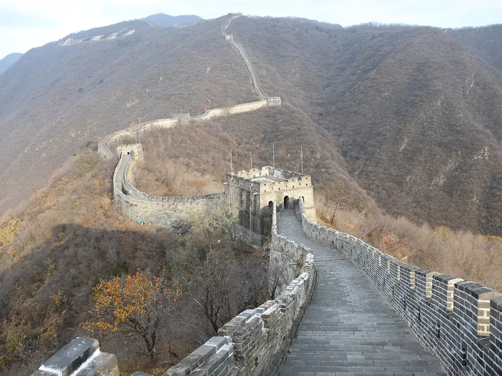
The Great Wall at Mutianyu climbing a green ridge in spring, with towers along the crest and grey mountains behind

Photos: xiquinhosilva (CC BY 2.0), N509FZ (CC BY-SA 4.0), Francesco Bini (CC BY-SA 4.0), N509FZ (CC BY-SA 4.0)

Distance
About 20 km for the Miaofengshan climb
Climbing
868 m on Miaofengshan
Districts
Mentougou, Changping, Huairou, Yanqing
Best months
April to May, September to October

Why go

Beijing ends at a wall of mountains, and the roads into them are where the city's cyclists spend their weekends: a temple climb that local riders treat as their benchmark, a reservoir below the Ming Tombs, and valleys under the Great Wall. In 2024 Miaofengshan Road and the Ming Tombs Reservoir loop were both shortlisted for the national China Cycling Map.

The route

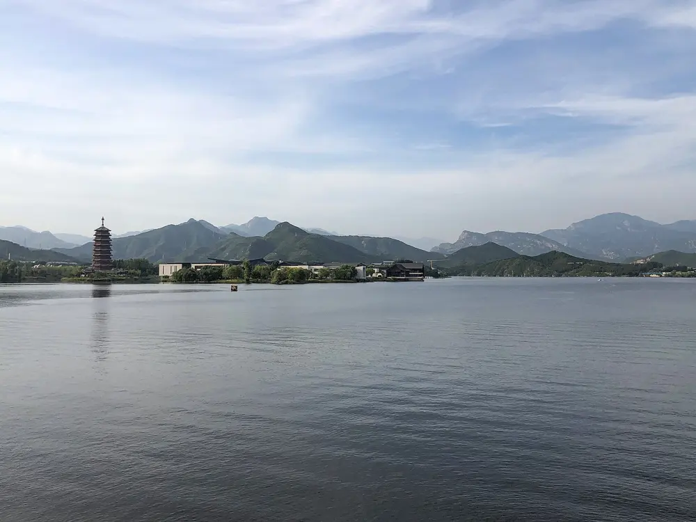
Miaofengshan in Mentougou is the classic climb. The 2026 Beijing Cycling League hill climb started at its archway and wound about 20 km through four villages, with 868 m of climbing. The Ming Tombs Reservoir loop in Changping is about 18 km and mostly flat, with a riders' station that rents and repairs bikes. China Daily's Great Wall route runs about 100 km from the city to Juyongguan and Badaling and back by Nankou. In Huairou, the Yanqi Lake loop is about 20 km, and Fanqi Road nearby climbs 10 km through hairpins. Further out, Ansi Road to Sihai is a classic Tour of Beijing road, and the climb from Huanghua to Sihai is steep.

When to go

April to May and September to October are best. July and August bring heat, most of the year's rain and afternoon storms, March can bring dust, and winter mornings freeze.

Getting there

Since May 2026 a weekend pilot lets you take a bike on four metro lines, including the Changping line to Ming Tombs station. The 30 yuan ticket is bought ahead in the Yitongxing app, and the bike must be covered. Folding bikes go as normal luggage. For Yanqi Lake, the Huaimi suburban line runs from Beijing North to Yanqi Lake station.

Permits and booking

We found no permit rule for riding these roads. Citizens of about 50 countries, including the UK and Canada, can enter China visa free for up to 30 days until 31 December 2026; US citizens can use the 240 hour transit rule with an onward ticket to a third country. Races close roads, as on 26 September 2026, when Miaofeng Mountain Road shut for the Tour of Beijing. We found no closures for October 2026.

How hard it is

Miaofengshan averages a little over 4 percent, with steep bends. Fanqi Road is steep enough that Beijing's tourism site asks riders to take care. The road near Juyongguan is rough, and expect crowds and cars at Badaling.

Where to sleep

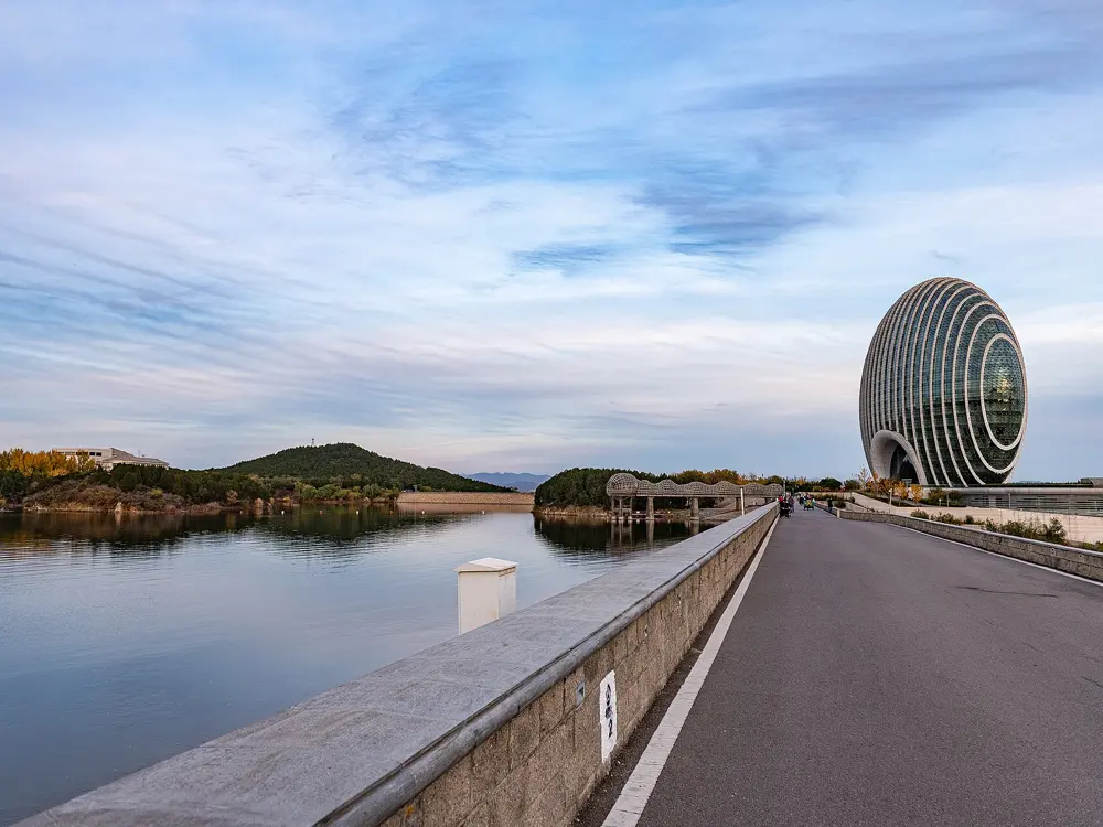
These are day rides from the city for most people. For a night out, the Sunrise Kempinski Hotel stands on the shore of Yanqi Lake.

Tips

  • Stay off mountain roads on flood warning days, as the city asked in the July 2026 storms.
  • Check for district police race notices in September, when Mentougou hosts its big events.
10 / 10

The Grassland Skyway

Zhangjiakou, Hebei Province

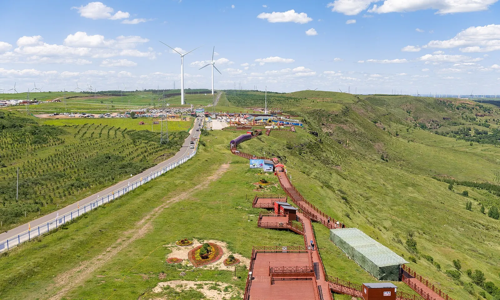
The Grassland Skyway running along a green ridge in Zhangbei, with a wooden boardwalk on the edge and wind turbines on the plateau beyond

Photos: N509FZ (CC BY-SA 4.0), Caitriana Nicholson from 北京 ~ Beijing, 中国 ~ China (CC BY-SA 2.0), Caitriana Nicholson from 北京 ~ Beijing, 中国 ~ China (CC BY-SA 2.0), Caitriana Nicholson from 北京 ~ Beijing, 中国 ~ China (CC BY-SA 2.0)

Distance
132.7 km, Yehuling to Huapiling
Altitude
1,600 to 1,800 m
Ticket
None since May 2016
Status
Closed for winter from 8 Oct 2026

Why go

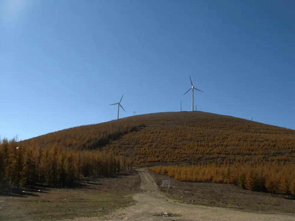
The Grassland Skyway, Caoyuan Tianlu in Chinese, is a road laid along the edge of the Bashang plateau north of Beijing. On one side the land drops into valleys, on the other it rolls out into grassland and lines of wind turbines. Xinhua puts the Zhangbei section at 1,600 to 1,800 m above sea level, and it was picked as one of 20 top self drive routes in China.

The route

The classic ride is the east line, 132.7 km from Yehuling, on the south side of Zhangbei County, to Huapiling in Chongli, according to Beijing's official tourism site. The road has since been extended, and Xinhua gives 323.9 km for the full line across five counties, with 149.5 km of it in Zhangbei. Thirteen rest stations line the Zhangbei section. Chongli, the Winter Olympics ski district at the east end, adds forest climbs and descents, with more than a dozen cycling routes and mountain bike trails on summer ski slopes. In August 2025 a sportive from Chongli's Celebration Square offered 61, 100 and 183 km routes onto the Skyway past the Saibei terraces and the cliff viewpoint.

When to go

Ride in summer or early autumn. On 8 October 2026 the Zhangbei management office closed the road and its rest stations for the fire season and icy surfaces, with reopening to be announced, hoped for in spring.

Getting there

High speed trains run from Beijing North to Zhangjiakou and on to Chongli. Since 19 May 2026 a pilot service has let cyclists take bicycles on these trains at every stop between Beijing North and Chongli, booked on 12306. From Chongli or Zhangbei you ride up onto the plateau.

Permits and booking

No permit is needed and there is no ticket. Zhangbei County charged 50 yuan a person from the end of April 2016, then scrapped the charge from 23 May 2016 after a public outcry. While the road is closed, the October 2026 notice bars visitors and vehicles and bans hiking along it.

How hard it is

The road climbs and drops constantly along the ridge, and the plateau is exposed, with strong wind, sun and quick changes in temperature. Xinhua counts about 860,000 vehicle trips a year on the Zhangbei section, many of them from Beijing and Tianjin, so ride early or midweek.

Where to sleep

Chongli has ski resort hotels that open in summer, and Zhangbei town has hotels close to the west end. Villages along the road run homestays, and Liutiaoba station has a camping base.

Tips

  • Check Zhangjiakou announcements before a spring or October trip, because the road opens and closes by notice.
  • Carry warm layers and sun protection even in July.

Sources

Distances, heights, seasons and permit rules were checked against these pages. Rules change, so check the park or trail authority before you go.