Rungs Labs

Rungs Pilgrimage · Cycling · Japan

The 10 Best Places to Cycle in Japan

The Shimanami Kaido, Hiroshima and Ehime, Japan. Photo: redlegsfan21 (CC BY-SA 2.0)

Japan is a good country to ride in. Drivers are patient, trains run to the foot of most climbs, and the government has named National Cycle Routes with painted lines, rest stops and rental bikes you can drop at another station. Away from the cities you find island bridges, lake shores, volcano roads and alpine passes that close to private cars.

These ten run from the flower fields of Hokkaido to the coral islands of Okinawa, and they mix easy lake loops with some of the hardest road climbs in the country. For each one you get the classic rides, the best season, how to get there, road rules and closures, how hard it is and where riders stay. Every fact comes from prefectures, national ministries, tourism boards, road operators or the routes' own sites, linked at the bottom of the page.

Updated 2026-10-18

  1. 01The Shimanami KaidoHiroshima and Ehime, Japan
  2. 02Mount NorikuraNagano and Gifu Prefectures
  3. 03Mount Fuji and the Fuji Five LakesYamanashi Prefecture
  4. 04BiwaichiShiga Prefecture
  5. 05Biei and FuranoKamikawa, Hokkaido
  6. 06The Aso CalderaKumamoto Prefecture, Kyushu
  7. 07The Tsukuba Kasumigaura Ring Ring RoadIbaraki Prefecture
  8. 08Mount Bandai and the Bandai-Azuma SkylineFukushima Prefecture
  9. 09The Shimanto RiverKochi Prefecture, Shikoku
  10. 10The Miyako IslandsMiyakojima, Okinawa Prefecture
01 / 10

The Shimanami Kaido

Hiroshima and Ehime, Japan
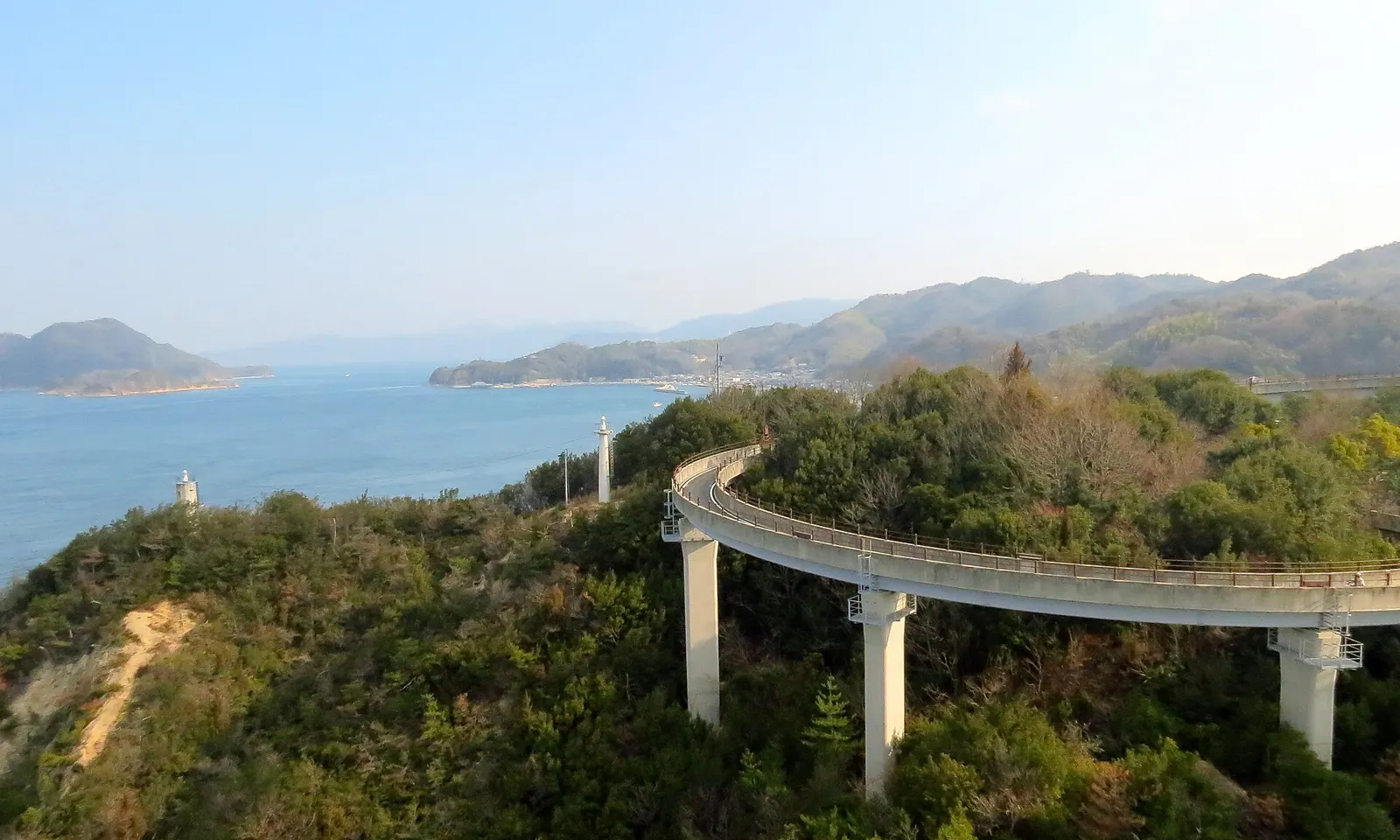
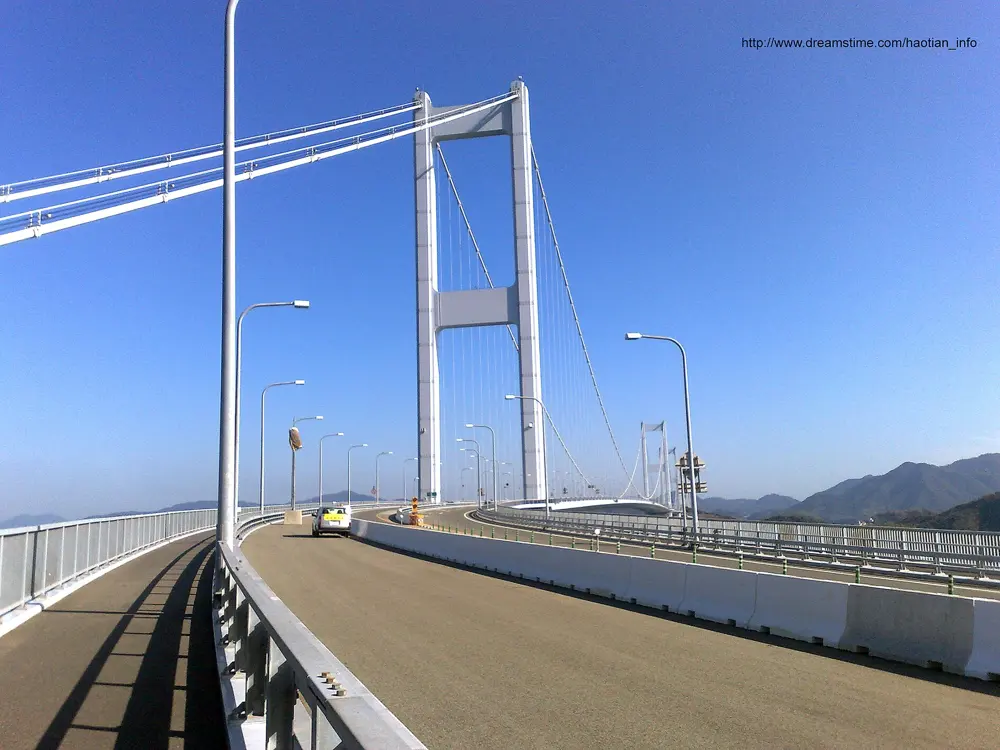
The curving ramp of the Shimanami Kaido bikeway on concrete pillars above the sea and green islands

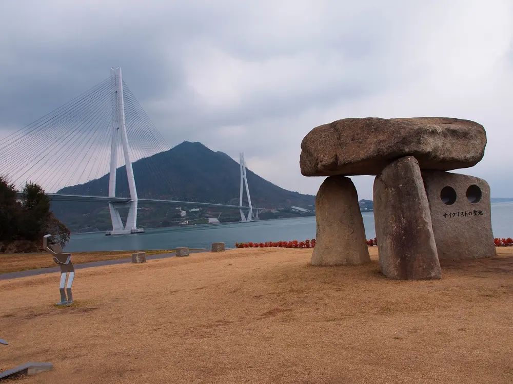
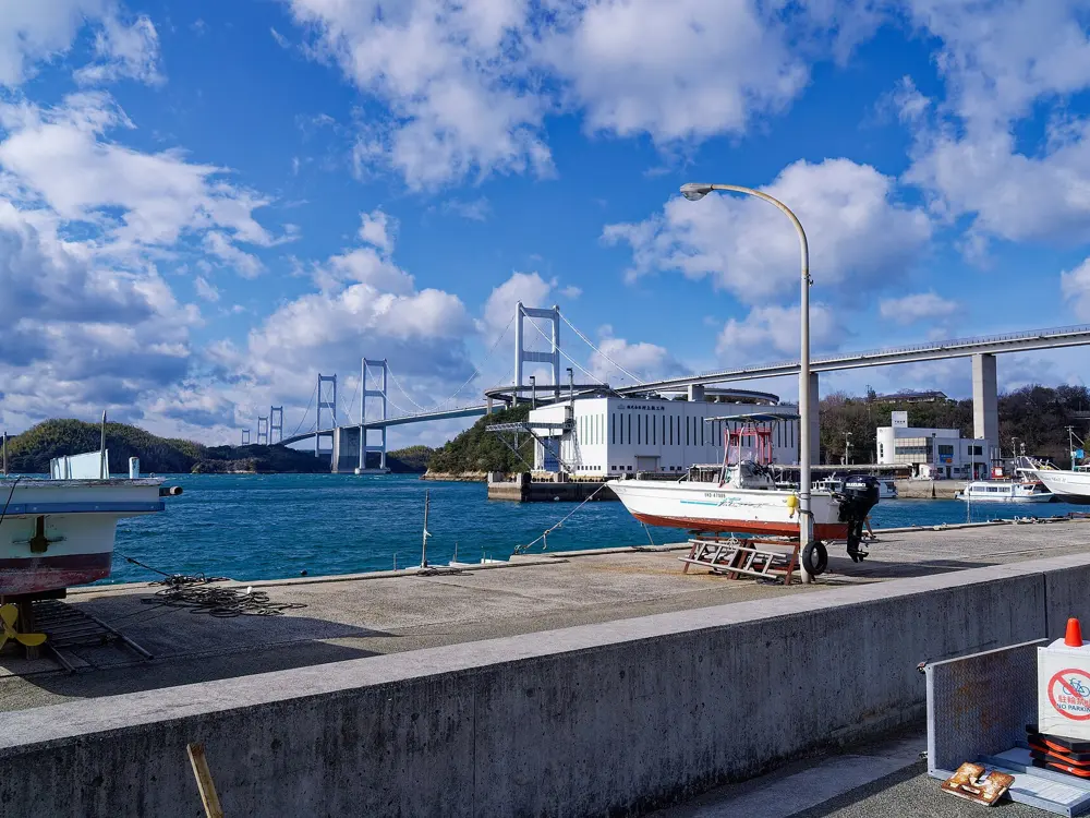
Photos: redlegsfan21 (CC BY-SA 2.0), AudaCity3371 (CC BY-SA 3.0), Dyota Condrorini (CC BY-SA 2.0), clvs7 (CC0)

Distance
About 70 km one way
Islands
Six
Bridge tolls
Free for bicycles until 31 March 2028
Season
All year

Why go

The Shimanami Kaido is the only road link between Honshu and Shikoku that you can cross by bicycle. A separate cycle path runs beside the expressway over each bridge, so you ride high above the Seto Inland Sea, then drop onto quiet island roads past fishing ports and temples. Japan named it a National Cycle Route in 2019.

The route

The classic ride runs from Onomichi in Hiroshima to Imabari in Ehime, about 70 km by the bike route, across Mukaishima, Innoshima, Ikuchijima, Omishima, Hakatajima and Oshima. Blue lines painted on the road mark the way. Riders take a short ferry from central Onomichi to Mukaishima, because the Shin-Onomichi Bridge has no cycle path and the Onomichi Bridge is narrow and busy. On Ikuchijima, the town of Setoda has Kosanji Temple and the Hirayama Ikuo museum. The finale is the Kurushima Kaikyo Bridge, three suspension bridges in a row with a total length of 4,105 m, crossing the strait from Oshima to Imabari. Kirosan Observatory on Oshima, at 307.8 m, looks straight down on it.

When to go

The route is ridden all year in a mild climate. Summer brings heat, so carry plenty of water, and spring and autumn can be windy on the open bridges.

Getting there

The rental terminal in Onomichi is about 150 m from Onomichi Station, and a limousine bus from Hiroshima Airport takes about 50 minutes. At the far end, the Imabari Station terminal is a few steps from the west exit, and highway buses run from Imabari to Hiroshima and Fukuyama.

Permits and booking

No permit is needed. Bridge tolls for bicycles, normally about 500 yen in total, are waived under the Shimanami Cycling Free scheme, which Hiroshima Prefecture has extended to 31 March 2028. The Onomichi ferry costs 110 yen with a bike. Cyclists keep left, as traffic does, and riding on the right counts as wrong way. Since April 2023 every cyclist is asked by law to try to wear a helmet, with no fine. Since 1 April 2026, riders aged 16 and over can be fined on the spot, for example for phone use or riding without lights at night.

How hard it is

Gradients are gentle, because the ramps up to each bridge were built at small inclines, though every bridge still means a climb from sea level. The Japan National Tourism Organization puts the ride at about 4 hours for experienced riders and up to 10 for beginners. The path is well marked and maintained.

Where to sleep

Most riders sleep in Onomichi or Imabari and do the ride in a day. For two days, there are minshuku guesthouses and campsites on the islands, and Sunrise Itoyama, the big cycling terminal by the Kurushima Kaikyo Bridge, has rooms.

Tips

  • Book a rental ahead in busy seasons. About ten terminals let you drop a standard bike at a different one, while tandems must go back where they started.
  • Stop at an island terminal and take a bus onward if your legs give out, which the rental system allows.
  • Carry front and rear lights if you might finish after dark.
02 / 10

Mount Norikura

Nagano and Gifu Prefectures

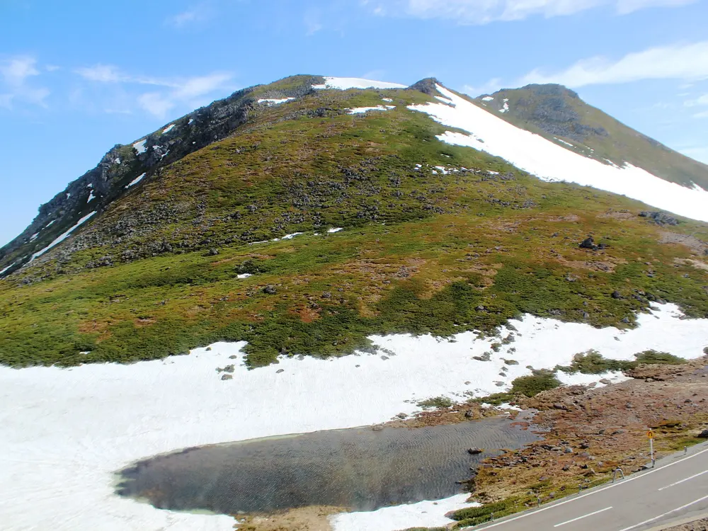
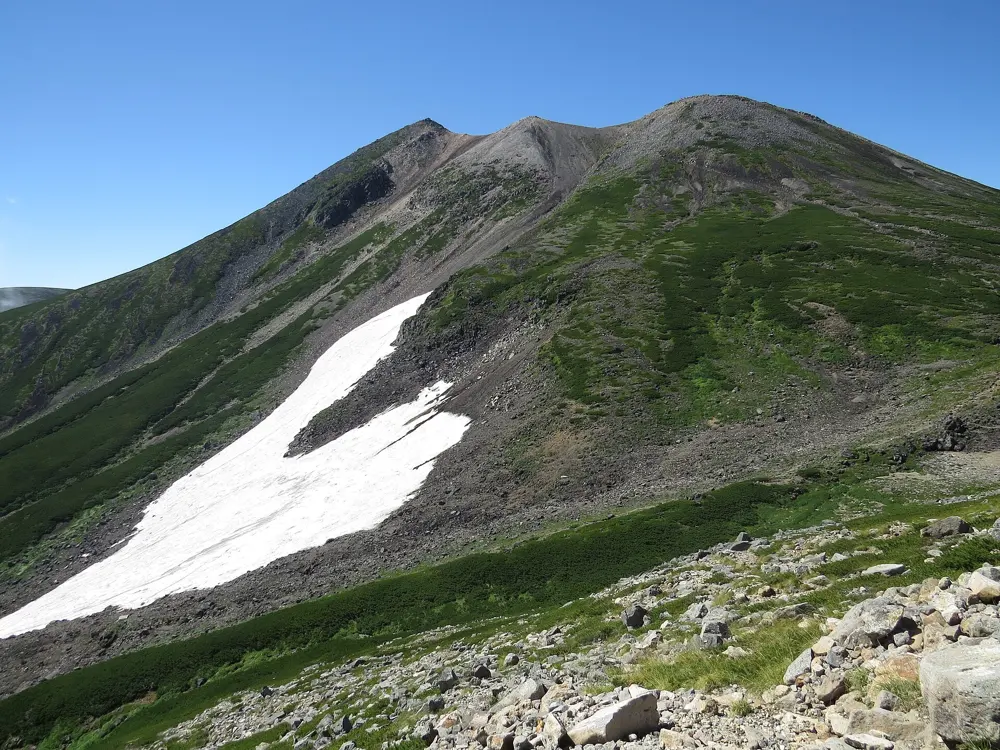
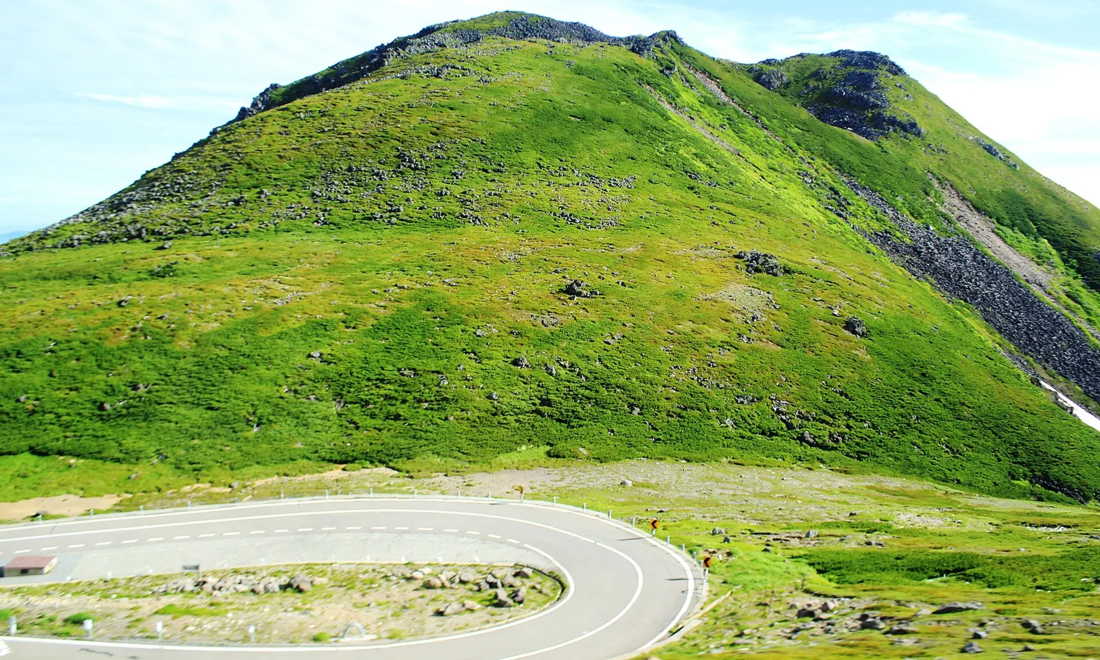
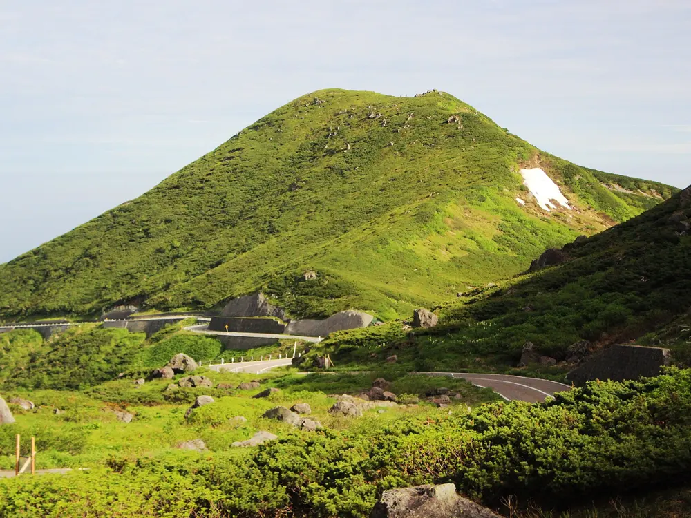
A hairpin of the Norikura Skyline below the green alpine slopes of Mount Yotsu

Photos: Alpsdake (CC BY-SA 3.0), Alpsdake (CC BY-SA 3.0), Alpsdake (CC BY-SA 3.0), Alpsdake (CC BY-SA 3.0)

Distance
20.5 km by the Eco Line, 14.4 km by the Skyline
Highest point
2,716 m
Open to bikes in 2026
Skyline from 15 May, Eco Line from 1 July, both to 31 October
Private cars
Banned on both roads

Why go

Two mountain roads climb Mount Norikura from opposite sides and meet at Tatamidaira, 2,702 m up. Private cars are banned on both, so cyclists share them only with buses and taxis. The Eco Line tops out at 2,716 m, the highest point on any road in Japan, and above about 2,500 m it leaves the forest for open alpine slopes.

The route

The Norikura Eco Line, Nagano Prefectural Road 84, climbs 20.5 km from Norikura Kogen in Matsumoto, past the Sanbontaki gate where the car ban begins, to the prefectural border and Tatamidaira. It is the course of the Norikura Hill Climb, held on the last weekend of August since 1986. The Norikura Skyline on the Gifu side runs 14.4 km from Hirayu Pass, at 1,684 m. Since the roads meet, a classic day climbs one side and descends the other.

When to go

The Skyline opened on 15 May 2026 and the Eco Line opened to bicycles on 1 July. Both close for winter after 31 October, and either can shut for wind, rain, snow or thick fog.

Getting there

For the Eco Line, take the Kamikochi Line train from Matsumoto to Shin-Shimashima, then the Alpico bus to Norikura Kogen, about 55 minutes. For the Skyline, Keio highway buses run from Shinjuku to Hirayu Bus Terminal, and local buses run from Takayama to Hoonokidaira.

Permits and booking

No permit or toll is needed for a bicycle. Both roads close at night: Nagano lists the Eco Line as open 6:00 to 18:00 from July to September and 7:00 to 18:00 in October. On the Skyline, a landslide-damaged section near Hirayu Pass runs on a temporary road with one-lane traffic until a new tunnel opens, planned for fiscal 2027. Rockfall closed the top 1.4 km of the Eco Line from 1 to 17 July 2026. Cyclists keep left, and riding on the right counts as wrong way. Since April 2023 every cyclist is asked by law to try to wear a helmet, with no fine. Since 1 April 2026, riders aged 16 and over can be fined on the spot, for example 12,000 yen for holding a phone.

How hard it is

The Eco Line race course gains 1,260 m at an average of 6.1 percent, and winners take about 54 minutes. The Gifu side's hill climb race covers 18.4 km and 1,342 m at 7.2 percent. Nagano warns of accidents on the descent at the 26th bend.

Where to sleep

Norikura Kogen has about 100 places with onsen baths, from hotels and ryokan to pensions. On the Gifu side, stay around Hirayu, where the Skyline shuttle starts.

Tips

  • Start early, since the gates shut at 18:00.
  • Check the road status with Nagano Prefecture or the Norikura Nature Information Center first, especially in October.
  • Carry lights and a warm jacket for the descent.
03 / 10

Mount Fuji and the Fuji Five Lakes

Yamanashi Prefecture

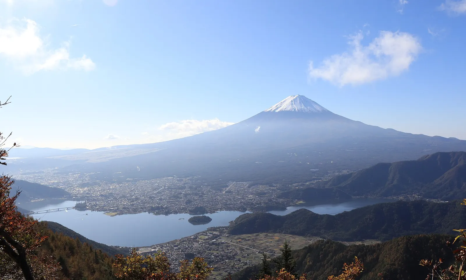
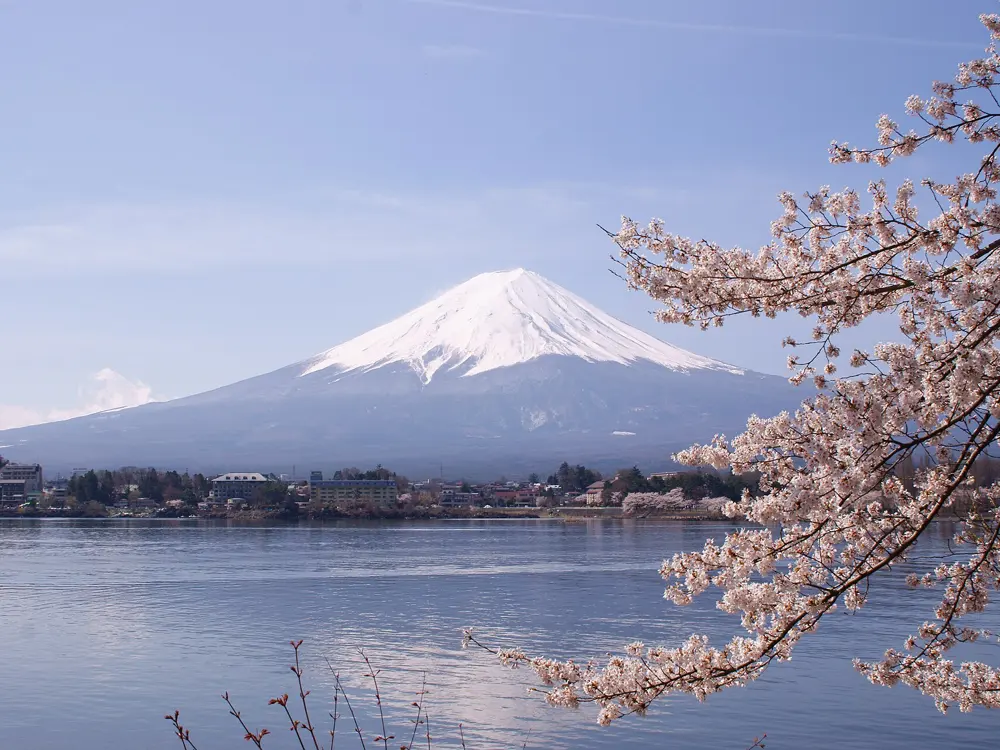
Mount Fuji above Lake Kawaguchiko and the town on its shore, seen from Shindo Pass with autumn trees in front

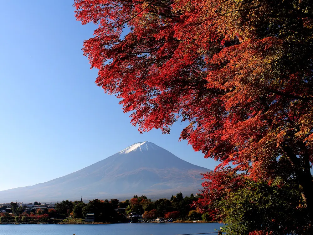
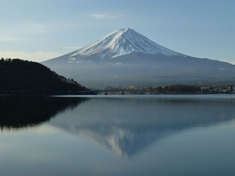
Photos: Alpsdake (CC BY-SA 4.0), Alpsdake (CC BY-SA 4.0), Marion & Christoph Aistleitner (CC0), Midori (CC BY 3.0)

Distance
About 110 km around all five lakes
Climb
24 km and 1,255 m on the Subaru Line
Subaru Line toll
280 yen return by bicycle
Season
Late April to November for the climb

Why go

Five lakes lie in a chain at the northern foot of Mount Fuji, and a ride around them keeps the mountain in view most of the day. Above them the Fuji Subaru Line toll road climbs to the Fifth Station at 2,305 m, so a flat lakeside day and a famous road climb share one base.

The route

Yamanashi Prefecture's Fuji Five Lakes Enjoyment Course is a loop of about 110 km from Fujisan Parking in Fujiyoshida, past Yamanakako, the springs of Oshino Hakkai, Kawaguchiko, Saiko, Shojiko and Motosuko. The Kawaguchiko circuit is shorter, about 26 km with 49 m of climbing, past Oishi Park and the Momiji Tunnel on roads marked with blue lines. The climb starts at the Subaru Line toll gate at 1,088 m, and the Mt. Fuji Hill Climb race times 24 km from there to the Fifth Station.

When to go

The Subaru Line opened through to the Fifth Station on 18 April 2026 after a winter of part-way running. Snow is rarely a worry from late April, June is the rainy season, and autumn colour along the road peaks from mid October to early November, when frost returns.

Getting there

From Shinjuku, take the JR Chuo Line to Otsuki, about an hour, then the Fuji Kyuko Line, which does not accept the Japan Rail Pass, or a highway bus to Kawaguchiko Station in just under 2 hours. Fujisan Parking is about 25 minutes by bike from Fujisan Station.

Permits and booking

No permit is needed. The Subaru Line charges bicycles 280 yen return or half that one way, in cash. The gates close outside opening hours, in October 3:00 to 18:00 going up. Bicycles are exempt from the summer ban on private cars, which ran from 3 July to 10 September in 2026. The road closes for about half a day for the Mt. Fuji Hill Climb, held on 7 June 2026, and for storms, ice or snow. Cyclists keep left. Since April 2023 every cyclist is asked by law to try to wear a helmet, with no fine, and since 1 April 2026 riders aged 16 and over can be fined on the spot, for example for riding without lights at night.

How hard it is

The lake loops are close to flat, but traffic is heavy on Route 138 and around Kawaguchiko. The Subaru Line averages about 5.2 percent with a steepest pitch of 7.8 percent, and eases above the Third Station. The road company asks cyclists to take the descent slowly, as deer cross.

Where to sleep

Most riders stay around Kawaguchiko, where lakeside hotels and inns have hot springs looking across to Fuji.

Tips

  • Carry cash for the Subaru Line toll gate, which takes no cards or ETC.
  • Bring a warm layer for the descent, since weather often changes between the base and the Fifth Station.
  • Check the road company's daily status page before riding up, as closures for weather bring no refund.
04 / 10

Biwaichi

Shiga Prefecture

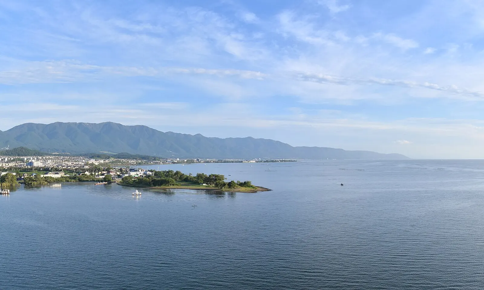
The wide calm water of Lake Biwa with a wooded point and mountains along the far shore

Photos: Raita Futo from Tokyo, Japan (CC BY 2.0), Enkhubatu (CC BY 3.0), Benlisquare (CC BY-SA 4.0), Raita Futo from Tokyo, Japan (CC BY 2.0)

Distance
193 km for the full loop
Elevation gain
About 70 m
Direction
Anticlockwise
Season
All year

Why go

Biwaichi, short for a lap of Lake Biwa, is the ride around Japan's largest lake. On 7 November 2019 it was among the first routes Japan named a National Cycle Route, alongside the Shimanami Kaido. The way follows the shore through green countryside and past old post towns, castle sites and shrines, and it is almost flat.

The route

The official loop is 193 km, ridden anticlockwise from the Seta Karahashi bridge in Otsu and back. Most riders start at Moriyama on the east shore. You can shorten it by riding only the northern loop, about 150 km, or the southern one, about 50 km, split by the Biwako Ohashi bridge, or by taking a boat across part of the lake. Sights along the way include Hikone Castle, the Azuchi Castle ruins, the merchant streets of Omihachiman and the castle town of Nagahama. On the west shore, Shirahige Shrine has a red torii standing in the lake, and near Makino, Metasequoia Avenue runs 2.4 km between about 500 dawn redwoods.

When to go

The route is ridden all year. The national tourism organisation picks summer to autumn as the best time, with breezes off the lake, and ginkgo trees turning gold in autumn.

Getting there

JR Moriyama Station, a main starting point, is about 25 minutes from Kyoto Station on the JR Biwako Line. On the east shore, Maibara Station has a cycle station with rental bikes and showers. On the Omi Railway, which runs inland along the east side of the lake, some trains carry bicycles.

Permits and booking

No permit or fee is needed to ride. Riding anticlockwise keeps you on the lake side of the road, because cyclists in Japan keep left with the traffic. Since April 2023 every cyclist is asked by law to try to wear a helmet. Since 1 April 2026, riders aged 16 and over can be fined on the spot, for example 12,000 yen for using a phone while riding and 5,000 yen for riding without lights at night.

How hard it is

Gradients are minimal, with about 70 m of climbing over the whole loop. The challenge is distance: the Japan National Tourism Organization estimates about 10 hours of riding, and the ministry suggests spreading it over 2 to 3 days.

Where to sleep

Over two or three days, sleep in the lakeside towns, where there are hotels with lake views and hot springs. In Moriyama, the Lake Biwa Marriott Hotel has a Giant store inside that rents road and flat bar bikes.

Tips

  • Download the Biwaichi Cycling Navi app for route information, and follow the blue lines.
  • If you rent at Maibara, ask about dropping the bike at another station. Six drop off points around the prefecture take bikes for an extra fee, with a reservation.
  • Carry lights if you might finish after dark.
05 / 10

Biei and Furano

Kamikawa, Hokkaido

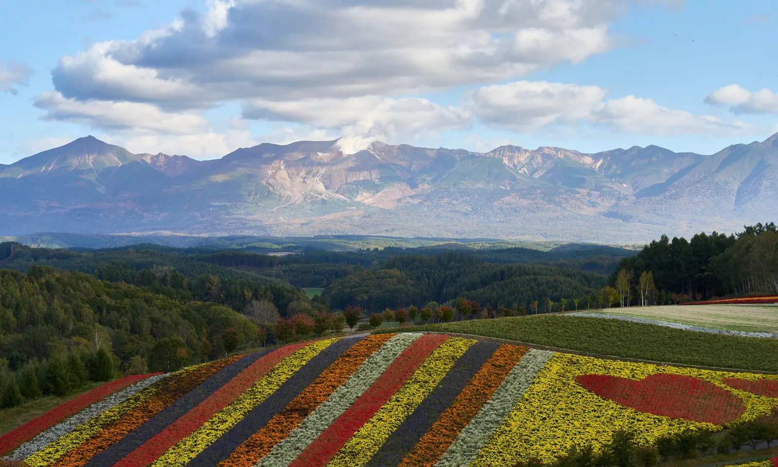
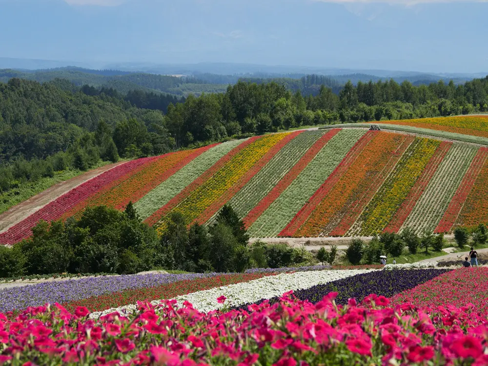
Striped flower beds at Shikisai-no-oka in Biei, with the Tokachi mountains behind

Photos: lumoplank (CC0), lumoplank (CC0), 肖红军 (CC BY-SA 3.0), 雷太 (CC BY 2.0)

Distance
15 to 41 km for the Biei town courses
Most climbing
261 m height difference on the Refresh Line
Regional route
277 km, 2,777 m of climbing
Lavender
July, some fields into early August

Why go

Central Hokkaido farms its hills in strips of wheat, potatoes and flowers, and from a bicycle the colours change at every bend. Biei has the rolling fields and lone trees made famous by advertising, with cycling maps from its tourism association. Furano and Nakafurano to the south are lavender country.

The route

Biei has three marked courses. The Patchwork Road course is 15 km with 160 m of height difference, a loop northwest of the station past the Ken and Mary Tree and the Seven Stars Tree. The Panorama Road course is 25 km with 221 m, south past San-ai no Oka and the Shikisai-no-oka flower garden towards Bibaushi Station. The Refresh Line is 41 km with 261 m, up a valley cycling road to the Shirogane Blue Pond. For a longer tour, the Furano Biei Cycling Route runs 277 km through six towns.

When to go

Ride from spring to autumn; in winter the farmland lies under snow. Lavender usually starts in late June and is best through July, with later varieties into August.

Getting there

Biei Station is about 32 minutes by local train from Asahikawa and about 36 minutes from Furano. From Sapporo it is about 90 minutes with a change at Asahikawa. A Furano Bus from Asahikawa Airport reaches Biei Station in about 16 minutes. Bikes, including electric ones, are rented near Biei and Bibaushi stations and at Shirogane BIRKE.

Permits and booking

No permit is needed, but the fields are private farmland: do not walk or ride into them, and take photos from the road. Keep left and ride in single file. Since April 2023 the law asks every cyclist to try to wear a helmet. Since 1 April 2026, riders aged 16 and over can be fined on the spot, 12,000 yen for using a phone and 5,000 yen for riding without lights. Tokachidake's volcanic alert went to level 3 on 12 September 2026, closing Road 966 to Bogakudai, and was lowered to level 2 on 16 October, with danger within about 1.5 km of the crater. The Blue Pond and Shikisai-no-oka lie outside the restricted zone.

How hard it is

The hills are short but constant, and the maps flag the steep slopes. On an electric bike the association suggests allowing 4 to 5 minutes per kilometre. Bears live throughout Hokkaido, so avoid riding alone on the quieter stretches.

Where to sleep

Biei town, near the station, is the simplest base for the hill courses, and Furano suits the lavender farms. Some Furano guesthouses lend bicycles to guests.

Tips

  • Convenience stores and ATMs are only around Biei Station, and toilets and water are scarce on the courses, so set out supplied.
  • Many shops are family run and close on rainy days or at short notice, so call ahead.
  • On the Refresh Line, if Tokachidake erupts, climb to high ground: mudflows follow the river and can arrive in 20 to 40 minutes.
06 / 10

The Aso Caldera

Kumamoto Prefecture, Kyushu

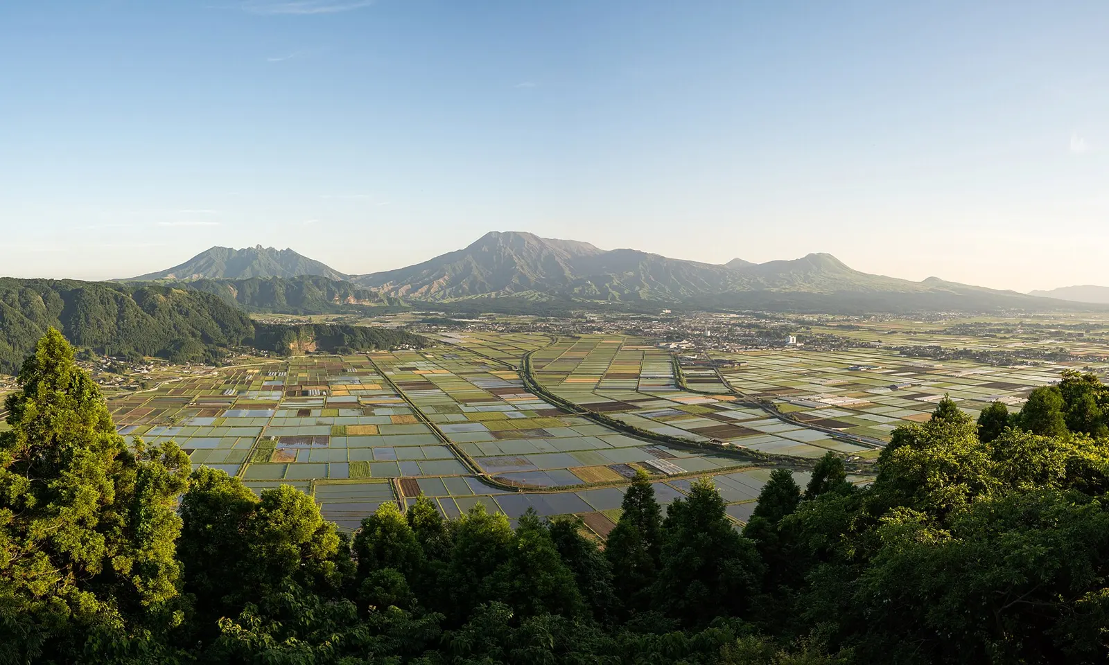
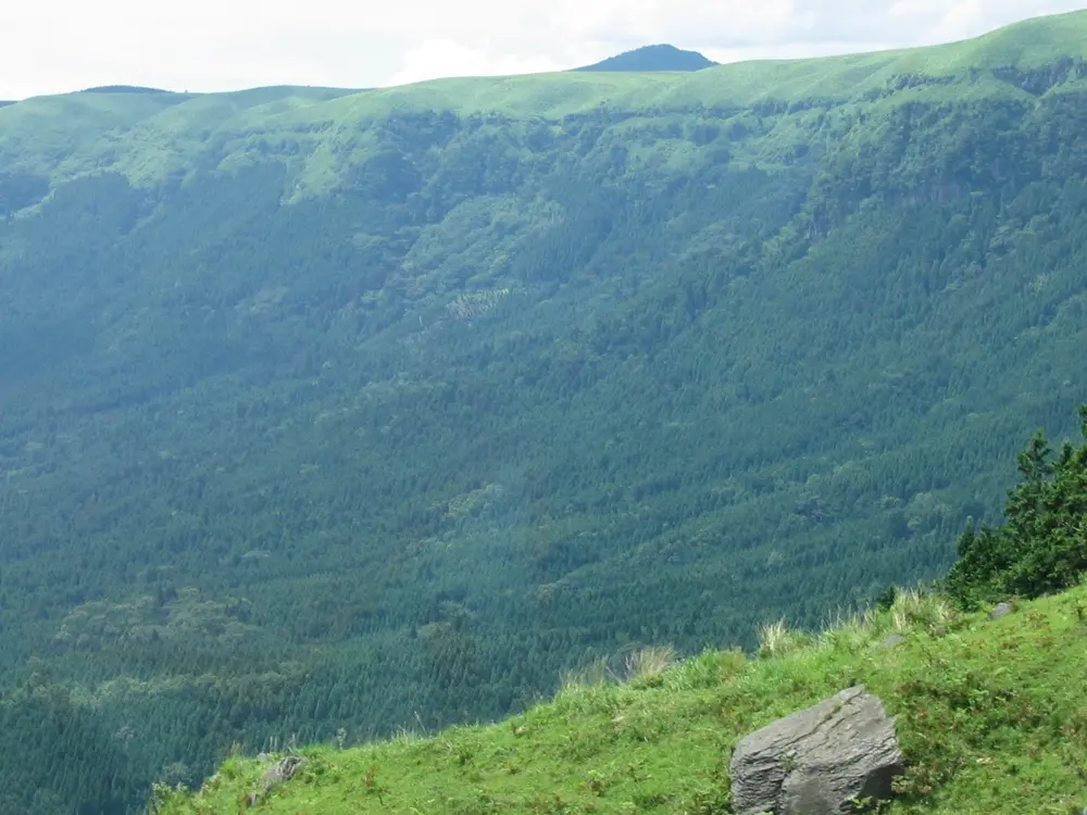
The Aso caldera floor laid out in rice fields below the central peaks of Aso

Photos: Raita Futo from Tokyo, Japan (CC BY 2.0), Raita Futo from Tokyo, Japan (CC BY 2.0), Peter Chovanec (CC BY 2.0), No machine-readable author provided. Shii assumed (based on copyright claims). (Public domain)

Distance
84 km rim loop
Climbing
About 1,540 m on the loop
Highest lookout
Daikanbo, about 936 m
Volcano
Alert Level 2 on 16 Oct 2026, 1 km crater zone closed

Why go

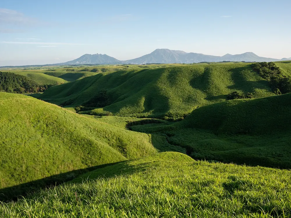
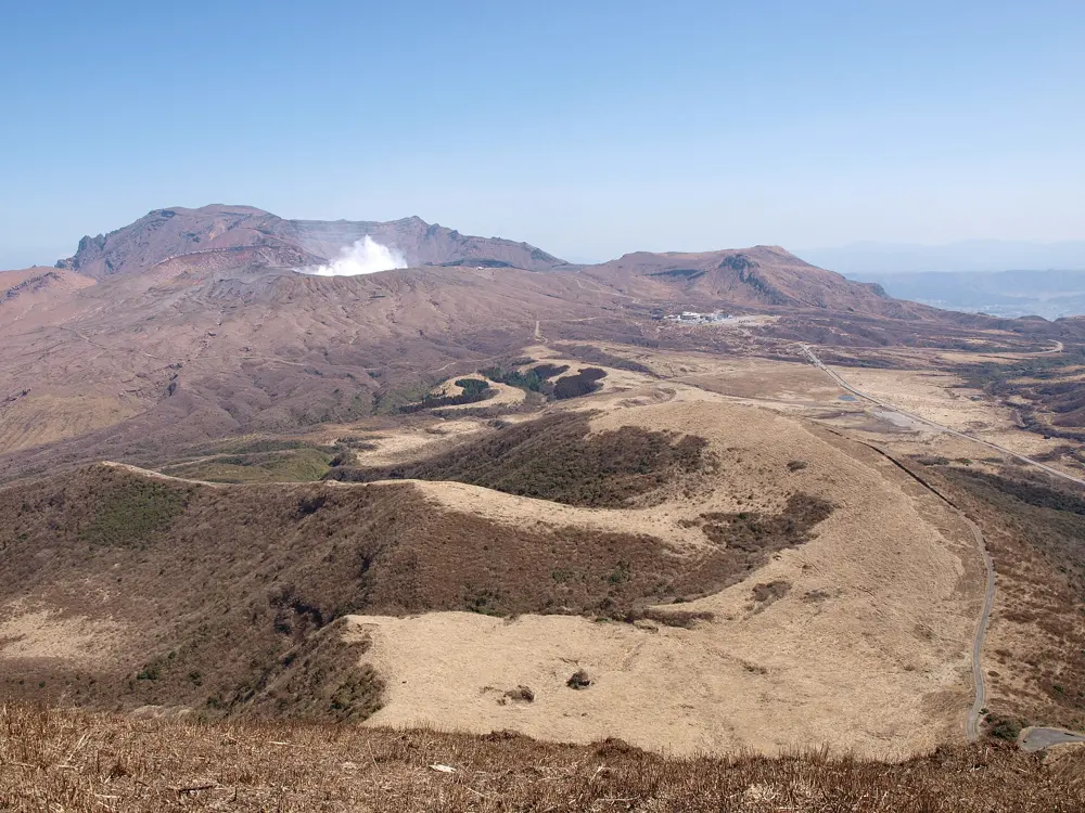
Aso is a vast volcanic caldera, about 25 km north to south, with an active volcano, Nakadake, among the five peaks at its centre. You ride the grassy outer rim, drop to rice fields and hot spring towns on the caldera floor, then climb through open pasture toward the crater.

The route

The Milk Road follows the northwest rim through cattle pasture for about 45 km, with spurs to the Kabutoiwa lookout and to Daikanbo. The Aso Panorama Line, about 37 km, climbs from three sides of the caldera floor, past the Kusasenri grassland and the Komezuka cone, to Aso Sanjo square below the crater. A well-documented 84 km loop climbs from Akamizu on Prefectural Route 23 to the Milk Road, follows the rim past Daikanbo to Hakoishi Pass, then drops into Minami Aso and returns.

When to go

Snow closes the rim in hard winters, as it closed the Milk Road in February 2020. On grass burning days in late February and March, nearby roads close, on past dates from 9 am to 3 pm. Golden Week in early May fills the lookouts with motorbikes.

Getting there

The JR Hohi Line runs from Kumamoto to Aso Station, about 1 hour 20 minutes on the Aso Boy train. Michi-no-eki Aso, next to the station, rents electric bikes. Routes cut by the 2016 earthquake are restored: the railway reopened in August 2020 and the new Aso Ohashi bridge in March 2021.

Permits and booking

No permit is needed. On 16 October 2026 Aso was at volcanic Alert Level 2, with the area within about 1 km of the Nakadake crater closed, after a spell at Level 3 from 14 August to 1 September. The park road from Aso Sanjo to the crater rim stays closed with no reopening date. The July 2026 earthquake hit hardest south of Kumamoto city, and by mid August no national road near Aso was closed by damage. Cyclists keep left. Since April 2023 riders are asked by law to try to wear a helmet, with no fine, and since 1 April 2026 riders aged 16 and over can be fined on the spot, for example for riding without lights after dark.
How hard it is

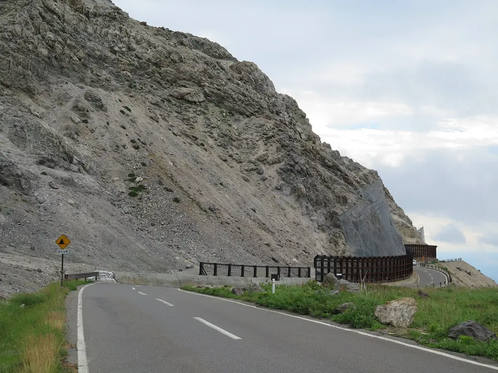
Every way out of the caldera is a real climb. Route 23 from Akamizu is a ladder of switchbacks, and the rim is open grassland with little shade and few shops after Kabutoiwa.

Where to sleep

Uchinomaki Onsen in Aso City, the largest hot spring town in the area, sits on the caldera floor below the Milk Road, with 17 to 30 inns and public baths open to visitors.

Tips

  • Check the Japan Meteorological Agency's Aso bulletin before riding to Aso Sanjo, because crater closures change with volcanic activity.
  • Eat and fill bottles at Kabutoiwa before the long empty stretch of the rim.
07 / 10

The Tsukuba Kasumigaura Ring Ring Road

Ibaraki Prefecture

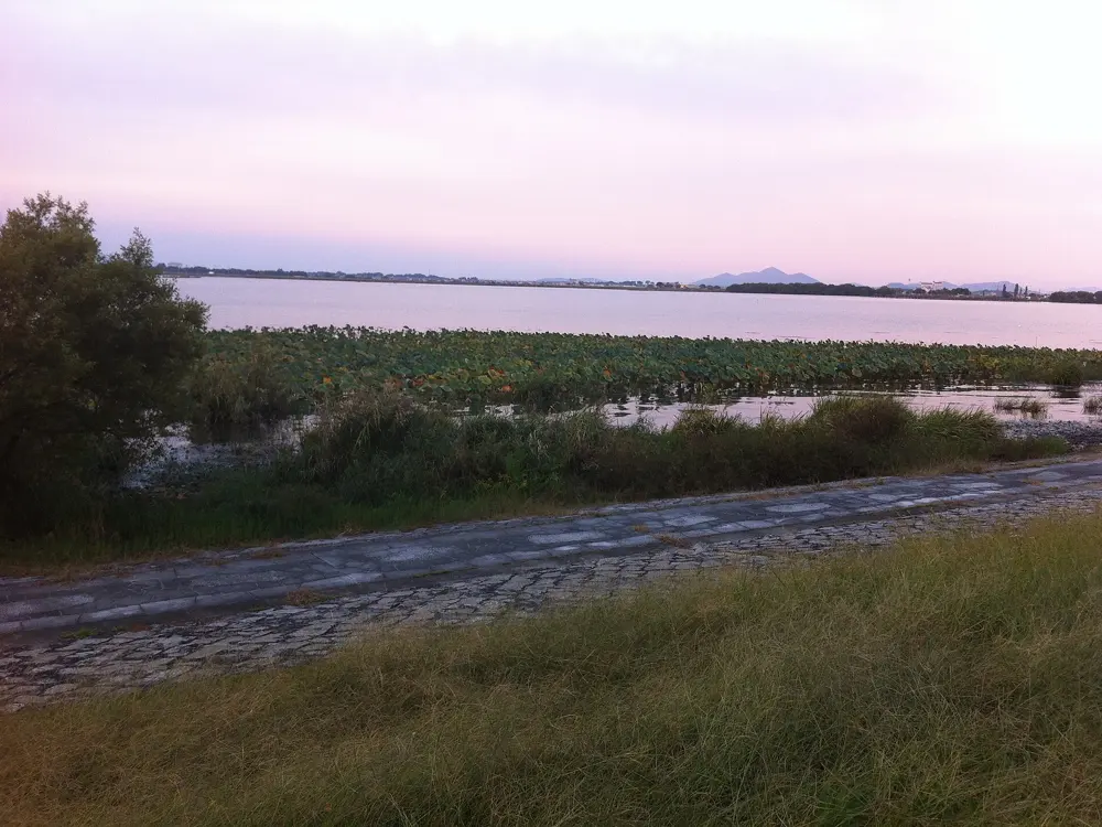
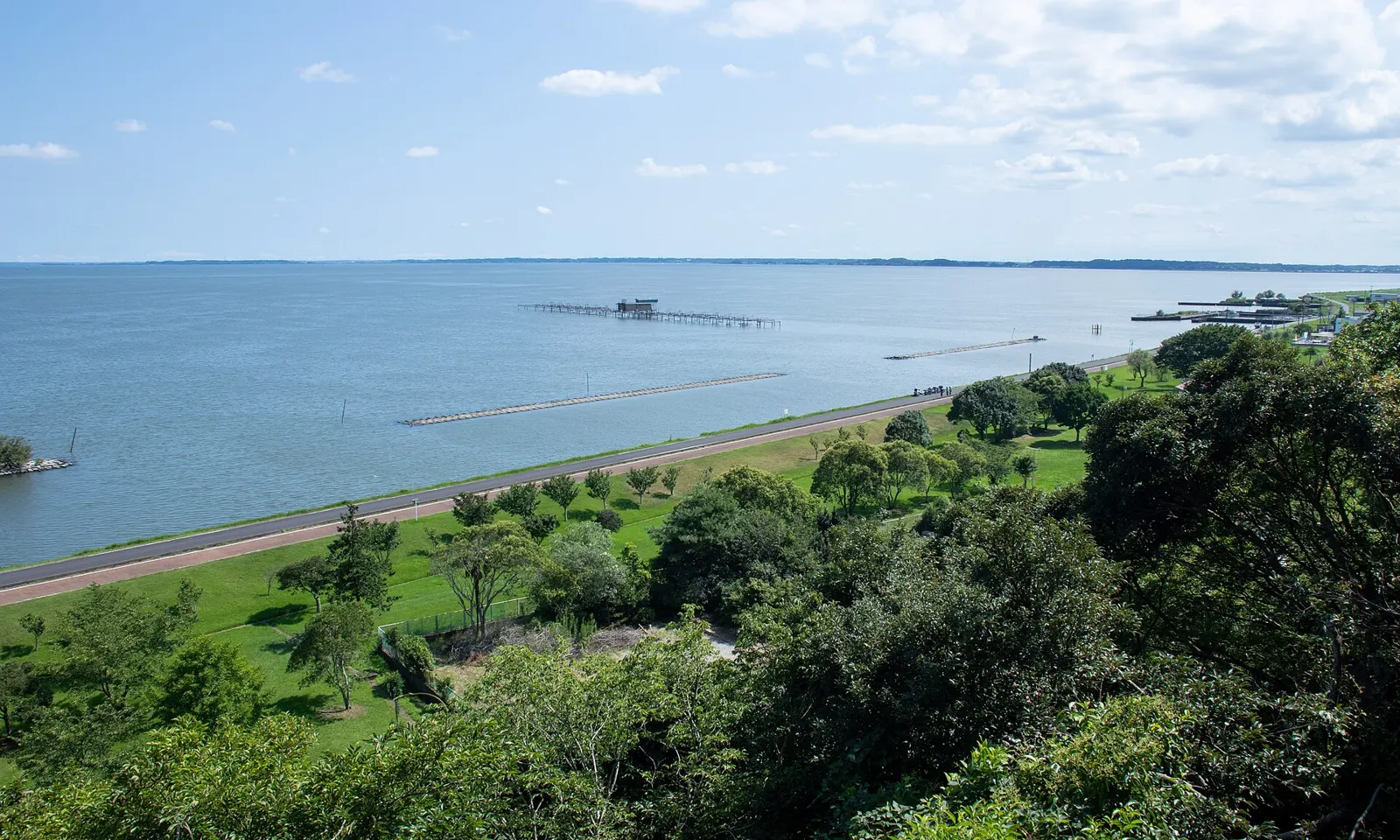
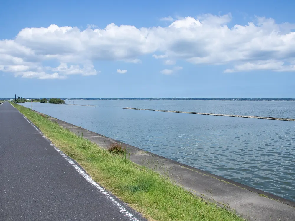
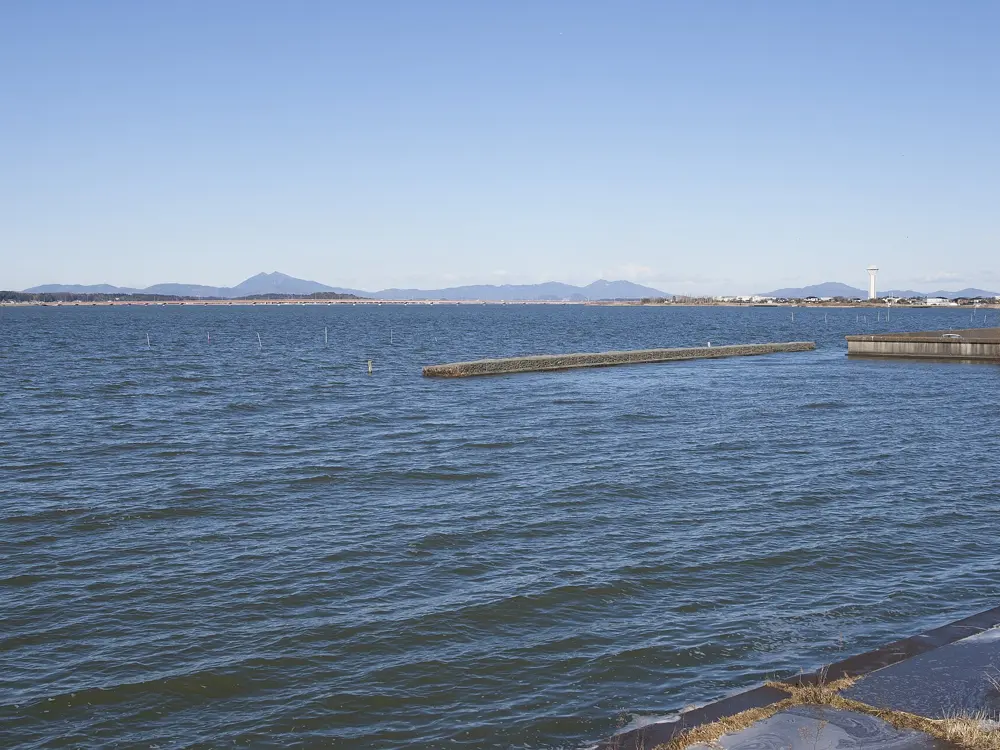
Lake Kasumigaura seen from above a lakeside park, with the shore road running along the water

Photos: Σ64 (CC BY 4.0), Σ64 (CC BY 4.0), katorisi (CC BY-SA 3.0), Σ64 (CC BY 3.0)

Distance
About 180 km in all
Lake loop
About 125 km
Rail trail
About 40 km, closed to cars
Bike hire
From 2,500 yen a day

Why go

An hour from Tokyo, this National Cycle Route joins an old railway line below Mount Tsukuba to the shore road around Kasumigaura, the second largest lake in Japan. It was among the first three routes named under the scheme created in 2019, with the Biwaichi and the Shimanami Kaido. The riding is mostly flat, past lotus fields and rice paddies, with the twin peaks of Mount Tsukuba, 877 m, in view.

The route

The Tsukuba side follows the Tsukuba Railway, which ran from Tsuchiura to Iwase from 1918 until 1987: 42 km with 177 m of climbing, with six old stations turned into rest stops and old kilometre posts still by the path. The lake loop from Tsuchiura is about 125 km with only 269 m of climbing. For a climb, the prefecture's hill climb ride leaves Tsukubasan Gate Park and goes over Fudo Pass to Tsutsujigaoka on the mountain, a 40 km loop with 536 m of climbing.

When to go

Spring brings mountain cherries at Takamine in Sakuragawa, and irises flower at Itako from late May to late June. Mount Tsukuba is busiest in autumn for its leaves. The official site posted typhoon warnings in August and September 2026, so watch the forecast in late summer.

Getting there

Limited expresses on the JR Joban Line reach Tsuchiura from Tokyo Station in about 50 minutes, and Ring Ring Square Tsuchiura is inside the station building. The Tsukuba Express runs from Akihabara to Tsukuba in about 45 minutes. On some weekend trains from Ueno, the Joban Line Cycle Train takes bikes unbagged if booked online.

Permits and booking

No permit or fee is needed. The official site listed no roadworks or closures in October 2026. Cyclists keep left. Since April 2023 every cyclist is asked by law to try to wear a helmet, with no fine. Since 1 April 2026, riders aged 16 and over can be fined on the spot, from 3,000 to 12,000 yen, the top rate for using a phone while riding.

How hard it is

The rail trail and lake road suit beginners, with almost no sharp bends or climbs on the old railway bed. The prefecture rates the Mount Tsukuba climb four out of five, and the full lake loop five out of five for its length, about five hours of riding.

Where to sleep

Ibaraki certifies cyclist-friendly inns along the route. BEB5 Tsuchiura by Hoshino Resorts and the Kamenoi Hotel Tsukubasan let bikes into rooms, and Takasago Ryokan at Iwase, the far end of the rail trail, also rents bikes.

Tips

  • Book the area-wide rental at least three days ahead. Bikes can be returned at any of 12 sites for 500 yen extra a day, and helmets are lent free.
  • Ring Ring Square Tsuchiura has showers at 300 yen and coin lockers.
08 / 10

Mount Bandai and the Bandai-Azuma Skyline

Fukushima Prefecture

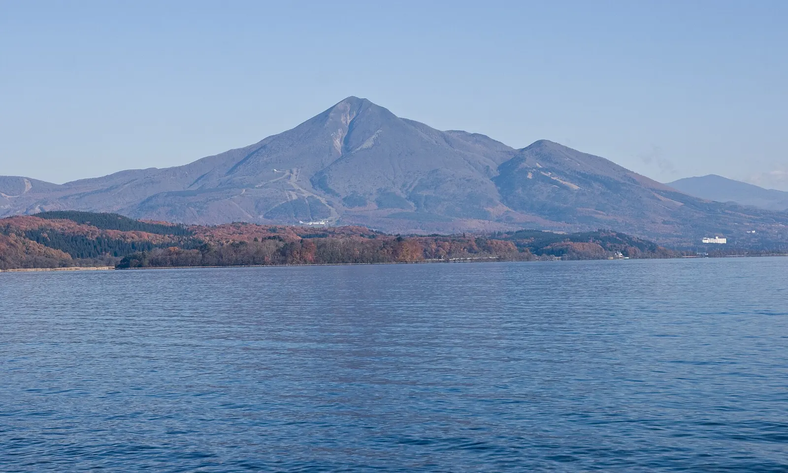
Mount Bandai rising beyond the blue water of Lake Inawashiro

Photos: Σ64 (CC BY 3.0), clef (CC BY 4.0), Douglas Paul Perkins (CC BY 4.0), Douglas Paul Perkins (CC BY 4.0)

Distance
Skyline 28.7 km; Lake Inawashiro loop about 56 km
High point
1,622 m, near Jododaira
Road fees
None on the three scenic roads
Season
21 April to mid-November in 2026

Why go

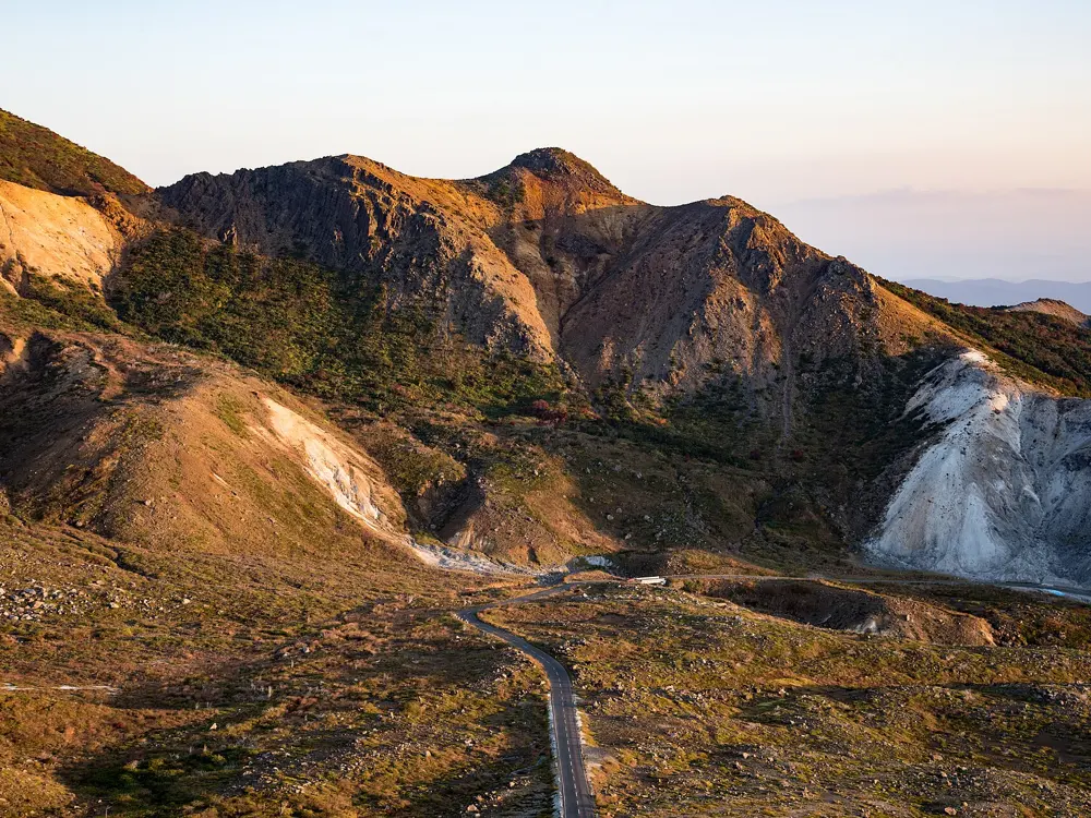
The Bandai-Azuma Skyline crosses the Azuma volcanoes in Bandai-Asahi National Park, and Fukushima's tourism site lists it among Japan's top cycling routes. You climb through forest to bare volcanic ground beside the crater of Azuma-Kofuji, then look south to Mount Bandai and Lake Inawashiro, Japan's fourth largest lake, where more scenic roads and the lakeshore wait.

The route

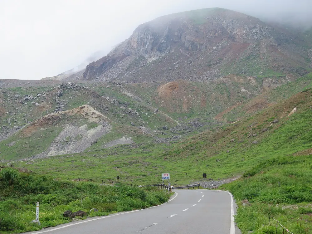
The Skyline runs 28.7 km from Takayu Onsen to Tsuchiyu Pass. It passes Tsubakuro Valley at 1,200 m, where the Fudozawa Bridge has a free rest stop, and tops out at 1,622 m near Jododaira, the plateau at the foot of Azuma-Kofuji (1,705 m); a ten minute stair climb reaches the crater rim. It then drops past Soryu no Tsuji, facing Mount Bandai and the lake. Below Bandai, the Lake Line runs 13.1 km from Inawashiro to Kitashiobara past Nakatsugawa Valley, the Gold Line crosses the mountain's flank, and the official Lake Inawashiro model route circles the lake for about 56 km.

When to go

The mountain roads opened for 2026 on 21 April and close for winter in mid-November. Alpine flowers peak at Jododaira from late June to late July, and autumn colour from late September into October.

Getting there

The Tohoku Shinkansen reaches Koriyama from Tokyo in about 90 minutes, and the Banetsu West Line continues to Inawashiro. For the Skyline, start from Fukushima: Takayu Onsen is 16 km from the Fukushima-Nishi interchange.

Permits and booking

No permit is needed and the scenic roads are free. Until 23 October 2026 the Skyline is closed from 21:00 to 06:00 for repairs to the Iozan Bridge, and one section has single lane traffic; night closures usually return in early November before the winter closure. Volcanic gas is measured on the road, and Jododaira to Fudozawa closes when readings pass the limit. If Azumayama rises above alert level 1, where it stands now, the whole Jododaira area including the Skyline closes. Cyclists keep left. Since April 2023 every rider is asked to try to wear a helmet, with no fine, and since 1 April 2026 riders aged 16 and over can be fined on the spot, for example for riding on the wrong side.

How hard it is

A long mountain climb on a road built for cars, with hairpins and weather that changes fast on the open volcanic slopes. The lake loop is easier but shares ordinary roads with traffic.

Where to sleep

Takayu Onsen and Tsuchiyu Onsen sit at either end of the Skyline. Inawashiro and Ura-Bandai suit the other roads and the lake loop.

Tips

  • Check the Fukushima Prefecture road page before setting out, as ice or gas readings can close the Skyline at short notice.
  • Ride steadily through the gas areas near Jododaira rather than stopping there.
  • Carry a warm layer and lights for the long descent.
09 / 10

The Shimanto River

Kochi Prefecture, Shikoku

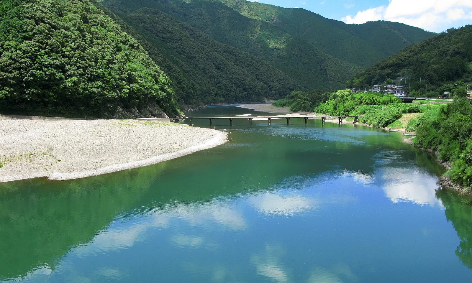
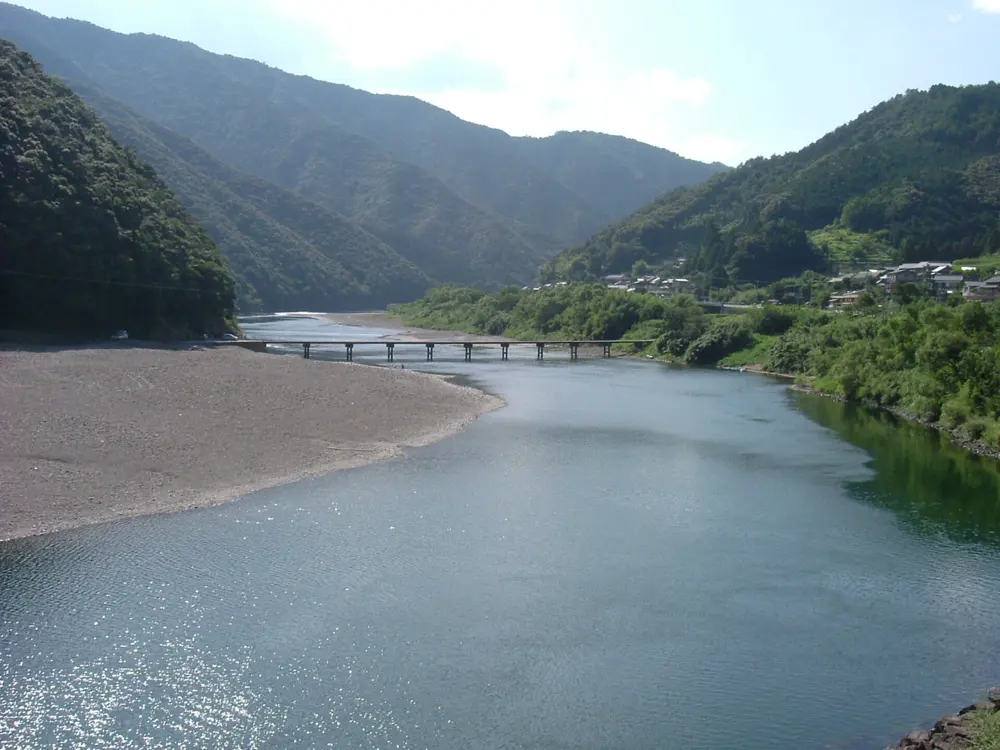
The Iwama chinkabashi, a low bridge with no railings, across the green Shimanto River between forested hills

Photos: 京浜にけ (CC BY-SA 3.0), As6022014 (CC BY 3.0), Saigen Jiro (CC0), Ippukucho (CC BY 3.0)

Distance
About 40 km, Ekawasaki to Nakamura
River length
196 km
Chinkabashi
47 on the river
Bike hire
1,500 yen a day, one way allowed

Why go

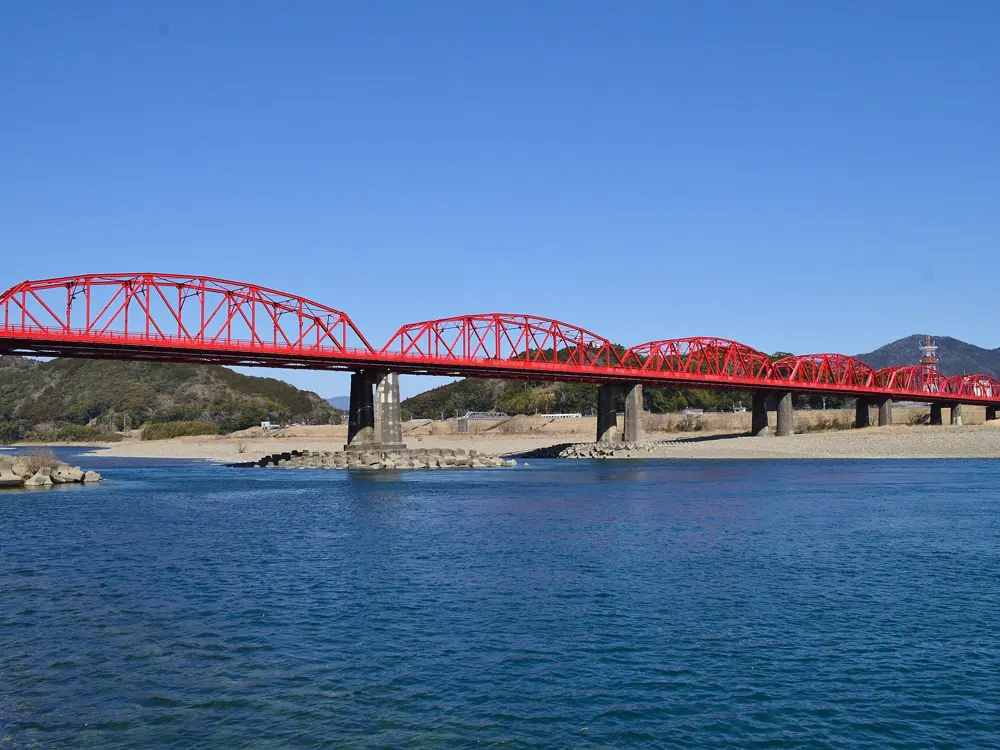
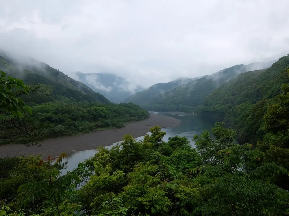
The Shimanto is the longest river in Shikoku, 196 km from the mountains of northern Kochi to the Pacific, with no large dams. Its mark is the chinkabashi: low concrete bridges with no railings, most only one car wide, built so summer floods and driftwood pass over them. There are 47 on the river, and the lower reaches wind past farms, willow woods and small villages.

The route

The classic ride runs downstream from JR Ekawasaki Station to Nakamura Station in Shimanto City, about 40 km past six chinkabashi. The Shimanto Rin-Rin Cycle hire system has seven terminals along the way, so you can start or stop at any of them. For a short ride, Sada Chinkabashi, the longest on the river at 291.6 m, is about 6 km from Nakamura Station. About 10 km further upstream, Misato and Takase Chinkabashi lie on the way to the Kawarakko terminal.

When to go

The terminals open all year except the New Year holiday, though some upriver ones close one weekday outside Golden Week and the summer holidays. In spring, canola flowers fill Nyuta Willow Forest, about 20 minutes by bike from Nakamura. Check the river after heavy rain.

Getting there

A direct JR limited express runs from Kochi to Nakamura, or change at Kubokawa onto the Tosa Kuroshio Railway; Japan's tourism board puts either at about 2 hours. For Ekawasaki, take the JR Yodo Line from Kubokawa.

Permits and booking

No permit is needed. A Rin-Rin mountain bike costs 1,500 yen for the day (8:30 to 17:00) or 2,000 yen for 24 hours, can be returned at any terminal, and must be booked ahead. Cyclists keep left. Since April 2023 every cyclist is asked by law to try to wear a helmet, with no fine. Since 1 April 2026, riders aged 16 and over can be fined on the spot, for example 6,000 yen for riding on the wrong side.

How hard it is

The middle and lower reaches are fairly flat, with small, gentle hills. Riding down from Ekawasaki has some inclines but is easier than going up. Chinkabashi go under water when the river rises.

Where to sleep

Nakamura, a compact old town, is the usual base, and the New Royal Hotel Shimanto there is a hire terminal. Upriver, Kawarakko is a canoe and camp village.

Tips

  • Allow at least 4 hours from the Ekawasaki or Canoe House terminals to Nakamura, and call the Canoe House before 17:00 if you will be late.
  • Walk your bike over the chinkabashi: there is no railing, and local authorities discourage cycling across or parking on them.
  • Carry water and food, since shops are few outside town.
10 / 10

The Miyako Islands

Miyakojima, Okinawa Prefecture

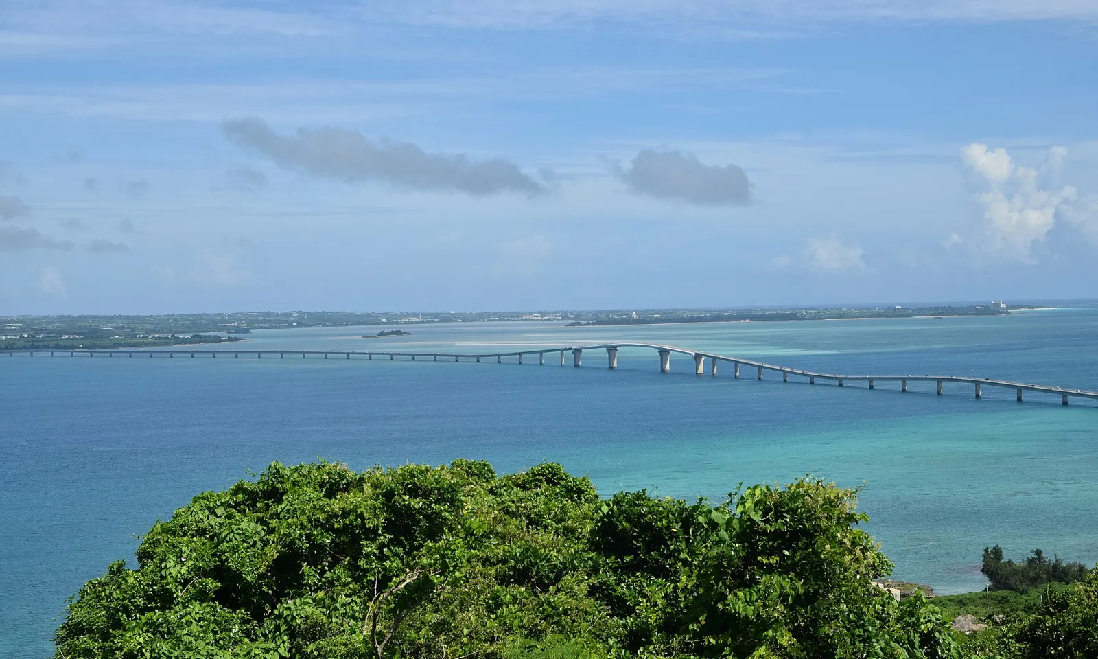
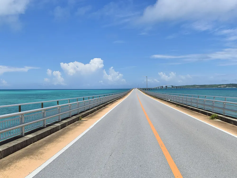
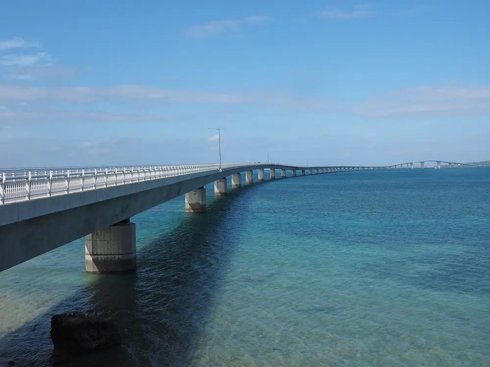
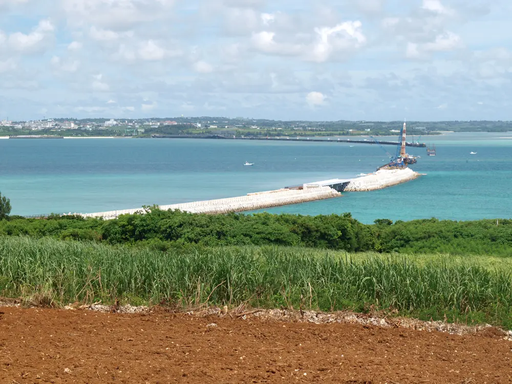
The Irabu Ohashi crossing turquoise water to Irabu Island, seen from a wooded hilltop

Photos: Raita Futo from Tokyo, Japan (CC BY 2.0), Raita Futo from Tokyo, Japan (CC BY 2.0), Paipateroma (CC BY-SA 4.0), Paipateroma (CC BY 3.0)

Distance
About 70 km around Miyakojima
Longest bridge
Irabu Ohashi, 3,540 m, toll-free
Bridged islands
Irabu, Shimoji, Ikema and Kurima
Rainy season
About 10 May to 21 June

Why go

Miyakojima is a low coral island about 300 km southwest of Naha, joined by long sea bridges to its neighbours. You ride across open water with the sea shading from green to deep blue below, then on quiet lanes through cane fields.

The route

The signature crossing is the Irabu Ohashi, 3,540 m and the longest toll-free bridge in Japan, opened in 2015 to Irabu Island, with short bridges on to Shimoji. In the north the 1,425 m Ikema Ohashi leads to Ikema Island, and in the southwest the 1,690 m Kurima Ohashi crosses to Kurima, about 9 km round. Stronger riders take the full circuit of Miyakojima, about 70 km, out to the Higashi-Hennazaki cape and its lighthouse. The Tour de Miyako road race has not been held since its 12th edition in May 2019, when a rider died after a crash near the finish, and no new edition has been announced. The big event now is the All Japan Triathlon Miyakojima, next held on 25 April 2027 with a 123 km bike leg.

When to go

The climate is humid and subtropical, and January and February are the coolest months. The rainy season normally runs from about 10 May to 21 June. Summer can pass 35 C, and typhoons come in summer and autumn, the strong ones most often around September.

Getting there

The islands are reached only by air. Miyako Airport has direct flights from Tokyo Haneda, Osaka Kansai, Nagoya and Naha, and Shimojishima Airport has flights to Tokyo and other Okinawa airports. Rental shops, including electric-assist bikes, cluster in the main town of Hirara.

Permits and booking

No permit or fee is needed. The Irabu Ohashi has no cycle path or pavement, so you ride the roadside strip beside traffic. Cyclists keep left. Since April 2023 every cyclist is asked by law to try to wear a helmet, with no fine, and since 1 April 2026 riders aged 16 and over can be fined on the spot. Police declared a traffic fatality emergency on the island in September 2024, so ride defensively. Check the triathlon's traffic notices if you visit in late April.

How hard it is

The island is mostly flat, and the bridges are the only real climbs. Wind on the open bridges, heat and sudden showers are the challenge. Allow 6 to 10 hours for the island circuit.

Where to sleep

Hirara has the widest choice and is close to the Irabu bridge. Resort hotels line the coast by Yonaha Maehama Beach, near the Kurima bridge.

Tips

  • Book bikes early for Golden Week, summer and New Year, when stock runs short.
  • Carry water, snacks and a light rain layer, since shops are far apart on long stretches.
  • Makiyama Observatory on Irabu looks along the whole Irabu Ohashi.

Sources

Distances, heights, seasons and permit rules were checked against these pages. Rules change, so check the park or trail authority before you go.