Mont Ventoux
Provence, France
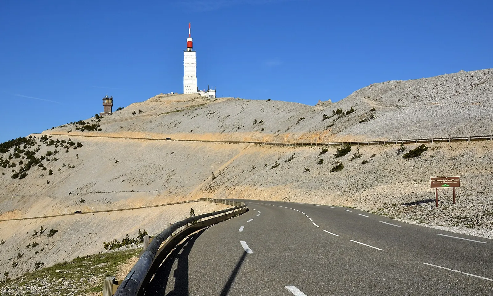
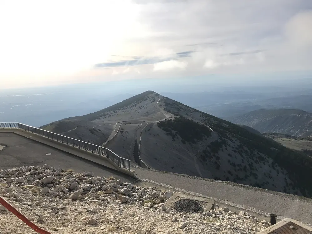
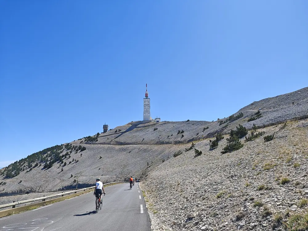
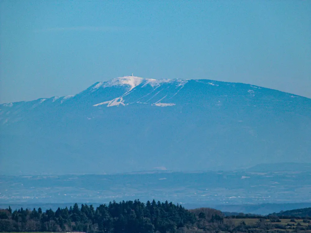
Photos: BlueBreezeWiki (CC BY-SA 3.0), DiskoDieter (CC BY-SA 4.0), FrogsLegs71 (CC BY-SA 3.0), Kakoula10 (CC BY-SA 4.0)
- Distance
- 21.8 km from Bédoin
- Climb
- 1,617 m from Bédoin
- Summit
- 1,910 m
- Season
- April to mid-November
Why go
Mont Ventoux stands alone above Provence, so you see it long before you reach it. The upper slopes are bare white limestone, the lunar landscape that starts at Chalet Reynard, with the red and white mast of the old weather station on top. It is also cycling's most storied hill. The Tour de France has crossed or finished on it 18 times since 1951, and Tom Simpson died on its slopes in 1967, about a kilometre from the top, where a memorial now stands and riders leave tokens.
The route
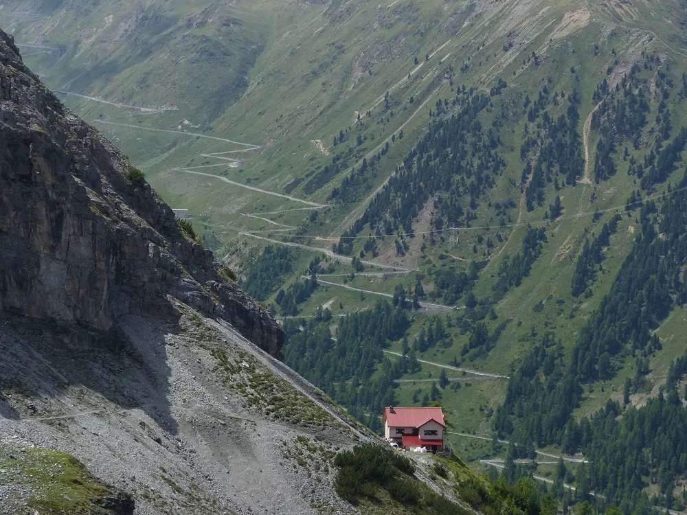
Three paved roads reach the summit. The classic climb starts in Bédoin and runs 21.8 km through forest to Chalet Reynard at 1,435 m, then out onto the open stone for the last stretch past the Col des Tempêtes. From Malaucène the north side climbs 21.2 km, more sheltered from the wind. The road from Sault is the longest, about 26 km, and joins the Bédoin road at Chalet Reynard. Riding all three in one day makes you a member of the Club des Cinglés du Mont-Ventoux.
When to go
The summit road is closed every winter. In 2025 the Département de Vaucluse lowered the barriers on 18 November, and after a snowy winter the south side reopened on 17 April 2026, with the north side following in mid-May. No date has been announced yet for the 2026 closure, so check before riding in November.
Getting there
Bédoin, the usual start, lies on the D974 about 50 km east of Avignon and 15 km from Carpentras. Malaucène lies on the northwest side and Sault to the east.
Permits and booking
No permit or fee is needed to ride. In winter the Département closes the D974 to all traffic, bicycles included, above the Mont Serein station on the north side and Chalet Reynard on the south. After the spring reopening, cyclists must descend by the same road they climbed until the end of May. The Club des Cinglés registers riders through its own website.
How hard it is
From Bédoin the climb gains 1,617 m at an average of 7.43 percent, and the steepest kilometre, the ninth, averages 10.5 percent in the forest. Malaucène is about as hard, averaging 7.23 percent with ramps up to 15 percent. Sault averages 4.4 percent. The wind is the real hazard: it blows at about 90 km/h on roughly 240 days a year, and gusts have reached 320 km/h, enough to close the road. A Tour stage in 2016 was cut short at Chalet Reynard for that reason.
Where to sleep
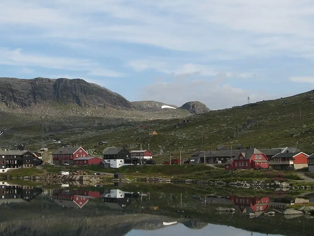
Most riders base themselves in one of the three villages at the foot of the climbs. Bédoin is the busiest and sits at the start of the classic route.
Tips
- Carry a windproof jacket for the summit and the long descent, even on a hot day.
- Check the Département de Vaucluse road conditions page before riding in spring or late autumn.
- Skip the summit on strong mistral days and turn at Chalet Reynard instead.