Rungs Labs

Rungs Pilgrimage · Cycling · United Kingdom

The 10 Best Places to Cycle in the UK

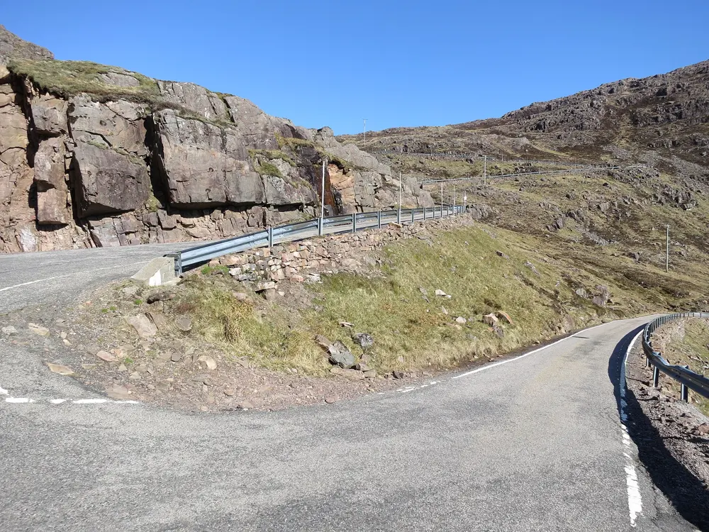
Bealach na Bà and the Applecross peninsula, Wester Ross, Scottish Highlands. Photo: Jooniur (CC BY-SA 4.0)

The United Kingdom has no Alpine passes, but its roads climb harder than their height suggests, over moorland, limestone dales and sea cliffs, and the mountain bike trails of the Borders and Wales are among the best known in Europe. These ten cover all four nations, from Wester Ross and Arran to the Scottish Borders, the Lake District, the Yorkshire Dales, the Peak District, the Surrey Hills, Eryri, Bannau Brycheiniog and the Antrim coast.

None of them needs a permit to ride, but single-track roads, ferry bookings, bikes on trains, forestry works and road closures all shape a trip. For each place you get the classic rides, the best season, how to get there, any rules or closures, how hard it is and where riders stay. Every fact comes from the parks, councils, transport operators, cycling bodies and route guides linked at the bottom of the page.

Updated 2026-10-18

  1. 01Bealach na Bà and the Applecross peninsulaWester Ross, Scottish Highlands
  2. 02The Lake District passesLake District National Park, Cumbria, England
  3. 03The Yorkshire DalesYorkshire Dales National Park, North Yorkshire, England
  4. 04Eryri (Snowdonia)Gwynedd, north Wales
  5. 05The Isle of ArranFirth of Clyde, Scotland
  6. 06The Peak DistrictDerbyshire and the South Pennines, England
  7. 07The Causeway Coast and the Antrim Coast RoadCounty Antrim, Northern Ireland
  8. 08Bannau Brycheiniog (Brecon Beacons)Bannau Brycheiniog National Park, south Wales
  9. 09Glentress and the Tweed ValleyPeebles and Innerleithen, Scottish Borders, Scotland
  10. 10Box Hill and the Surrey HillsSurrey, England
01 / 10

Bealach na Bà and the Applecross peninsula

Wester Ross, Scottish Highlands
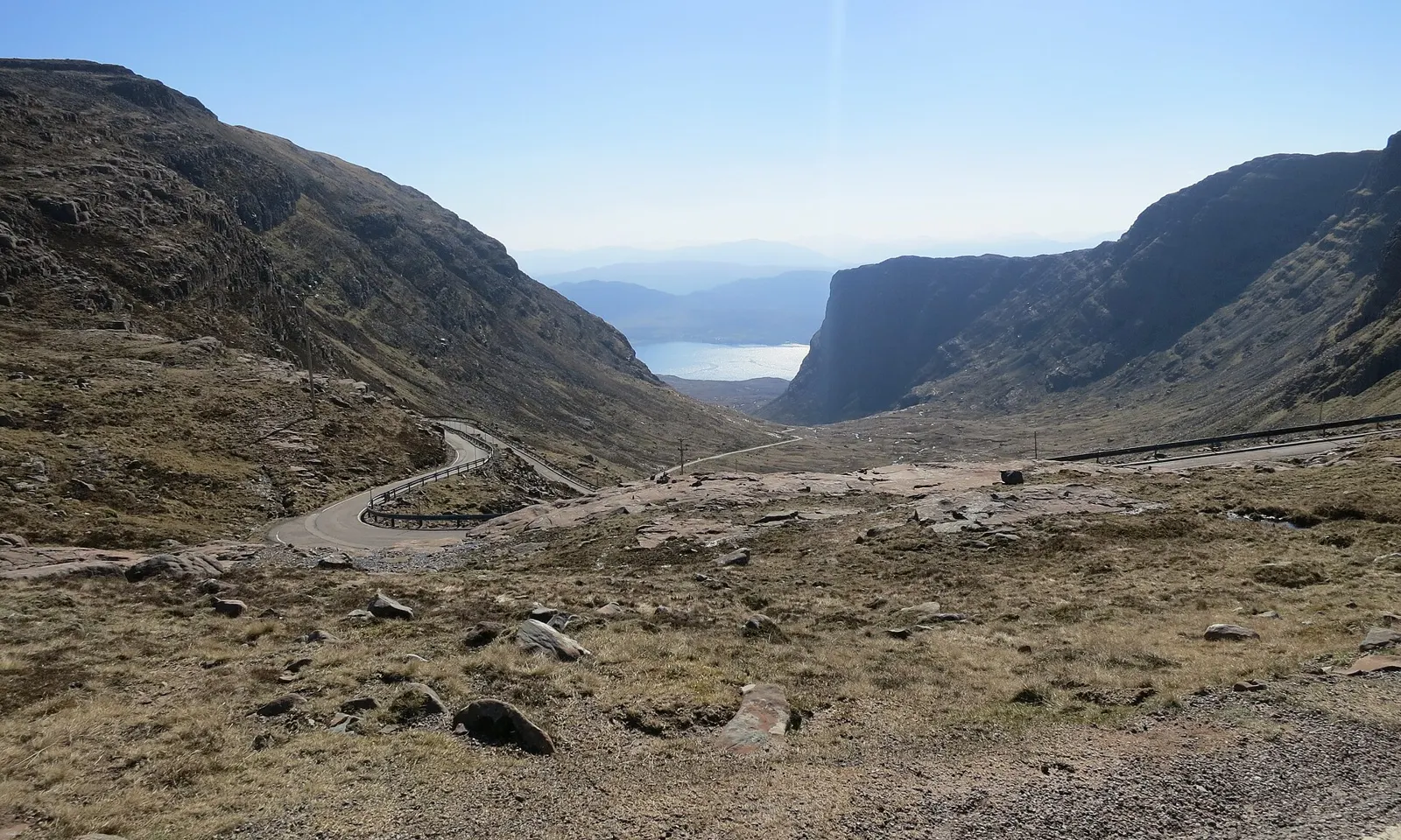
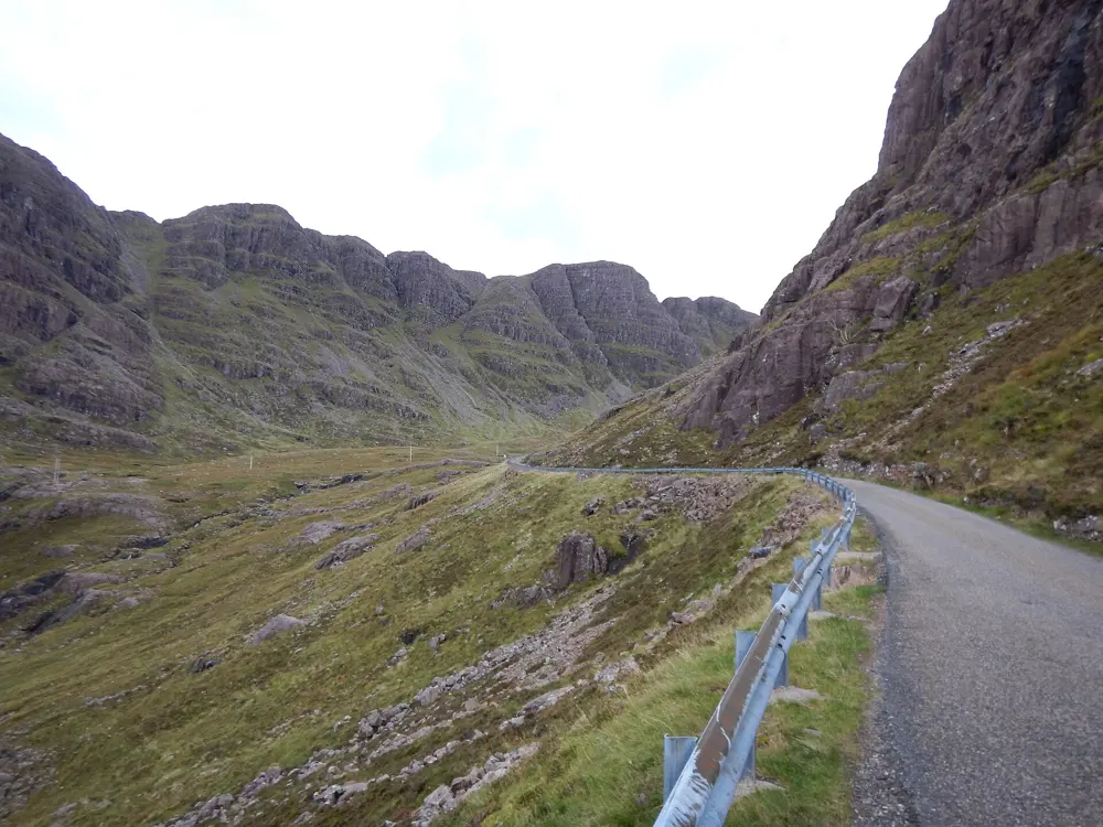
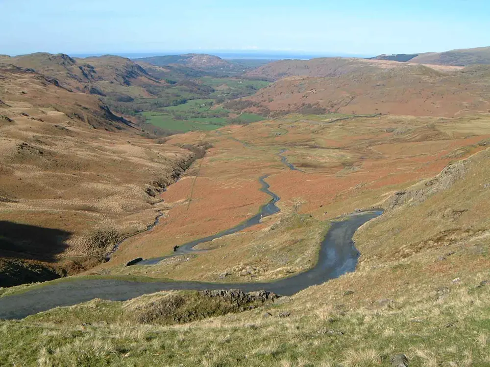
The single-track Bealach na Bà road winding up a rocky corrie, with a sea loch below

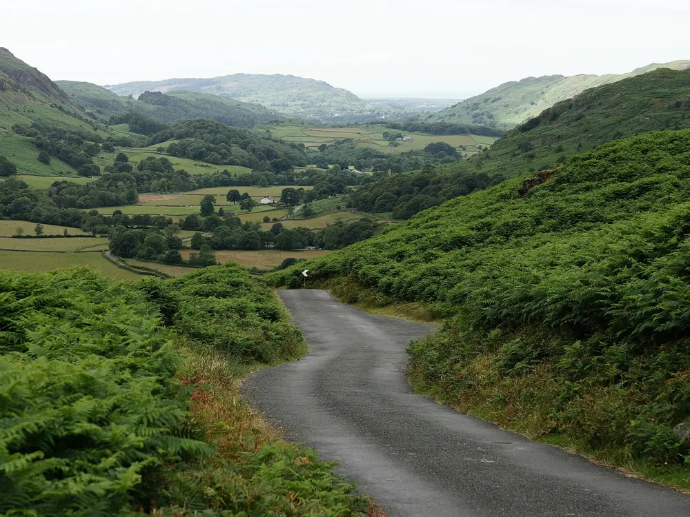
Photos: Jooniur (CC BY-SA 4.0), Jooniur (CC BY-SA 4.0), James Emmans (CC BY-SA 2.0), JarroNevsbaru (CC BY 4.0)

Distance
Tornapress to the summit: 9.2 km (5.7 miles)
Climb
619 m at 6.7% average
Summit
626 m
Peninsula loop
72 km (45 miles) from Shieldaig

Why go

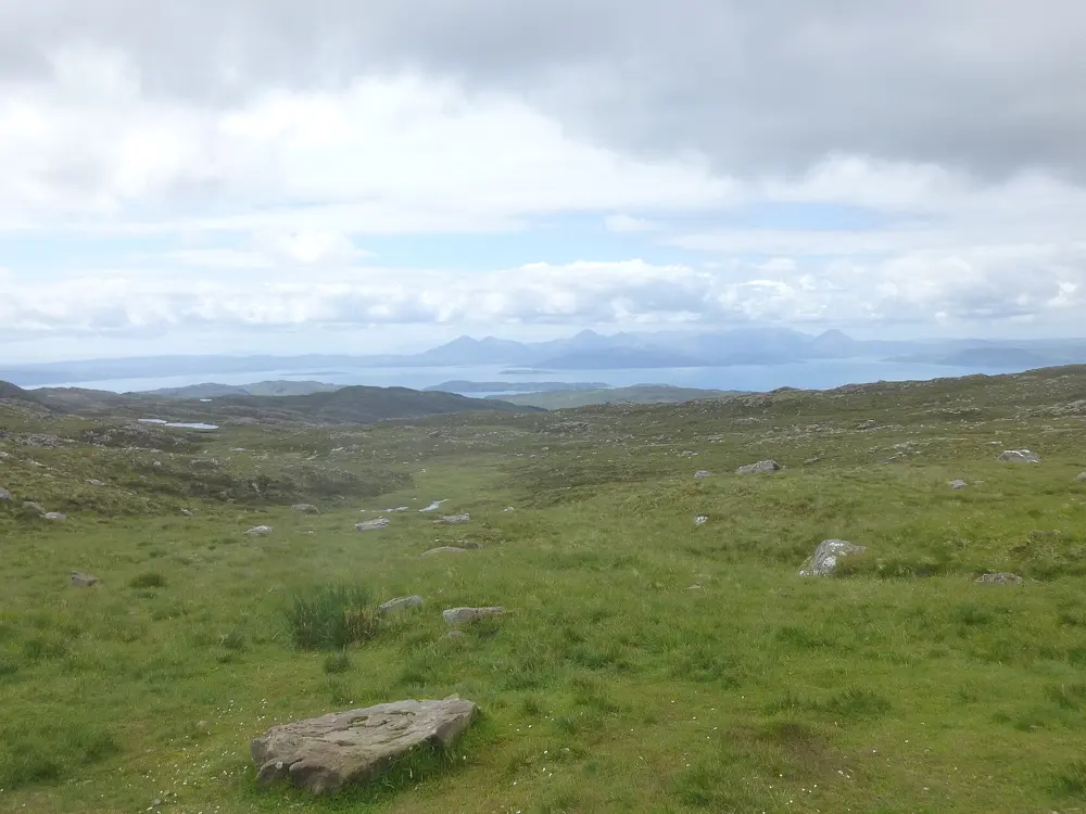
The Bealach na Bà, the Pass of the Cattle, climbs from Loch Kishorn almost at sea level to 626 m, and VisitScotland names it the third highest road in Britain. It is single track throughout, and from the summit you look across to Raasay and Skye. Until a coast road arrived in 1975 it was the only road into Applecross, and that road now lets you ride a loop of the whole peninsula.

The route

The classic climb starts at Tornapress, where the pass road leaves the A896, and runs 9.2 km to the summit with 619 m of ascent, saving four hairpins for the top. From Applecross the climb is 8.5 km at 7.2%. For the loop, continue north from Applecross on the coast road beside the Inner Sound and Loch Torridon to Shieldaig, then return on the A896. The Bealach na Ba Sportive rides this circuit from Shieldaig in 72 km (45 miles). The pass is also the best known stretch of the North Coast 500, the 830 km (516 mile) route from Inverness Castle.

When to go

Signs at the foot of the pass warn that it is unlikely to be open in winter, and snow can close it overnight. Ride from late spring to early autumn: the Applecross campsite opens from 1 March to 31 October, and the two closed-road sportives run in May and September.

Getting there

Take the Kyle of Lochalsh line train from Inverness to Strathcarron, the station for Lochcarron, booking a bike space with ScotRail in advance. Four trains a day call each way from Monday to Saturday. Ride west through Lochcarron on the A896 to Tornapress.

Permits and booking

No permit or fee is needed. The pass road closed for the 2026 sportives on 16 May and 5 September, both now past. Highland Council has listed part of the Applecross to Shieldaig coast road for resurfacing in 2026/27 without published dates, and we found no current closure. On single-track roads the Highway Code says to pull into a passing place on your left or wait opposite one on your right, and to give way to traffic coming uphill.

How hard it is

From Tornapress the steepest 100 m averages 18.4% by Climbfinder's measure, and some guides quote 20%. The surface is mixed, with fresh tarmac near the top, and the passing places are short, so expect camper vans in summer and fast cars on the descent. The summit can be far colder and wetter than the shore.

Where to sleep

Applecross has a campsite with pitches and heated camping huts, open 1 March to 31 October, and the Applecross Inn on Shore Street. Lochcarron and Shieldaig are the other bases, and The Bà Sportive starts from Kinlochewe.

Tips

  • Strathcarron station sells no tickets, so buy yours in advance or from the guard, and book the bike space before you travel.
  • Carry food, warm layers and spares, since long stretches of the route have no shops or bike help.
  • Book the Applecross campsite early for bank holidays and school holidays, its busiest weeks.
02 / 10

The Lake District passes

Lake District National Park, Cumbria, England

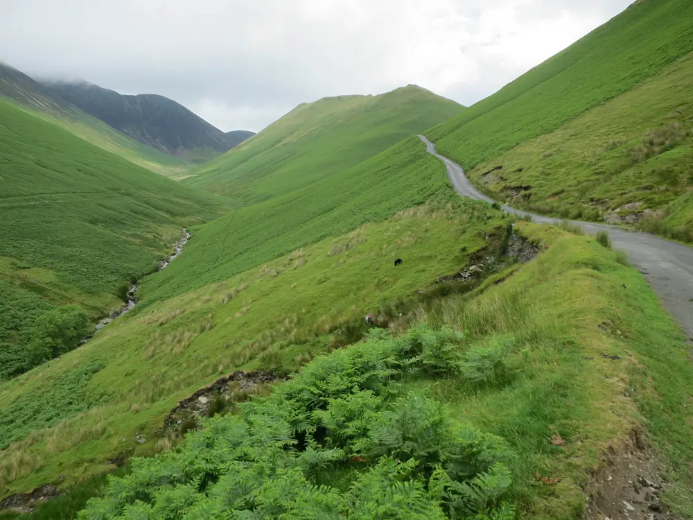
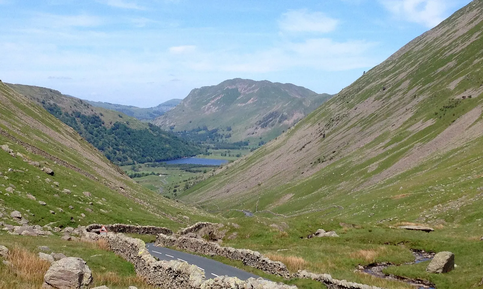
The A592 winding down Kirkstone Pass beside a stone wall towards Brothers Water

Photos: John H Darch (CC BY-SA 2.0), Peter Trimming (CC BY-SA 2.0), Mick Knapton at English Wikipedia (CC BY-SA 3.0), Hugh Venables (CC BY-SA 2.0)

Distance
About 180 km (112 miles), Fred Whitton loop
Highest point
454 m, Kirkstone Pass
Steepest gradient
About 33%, Hardknott Pass
Season
April to October

Why go

The Lake District passes are narrow, steep lanes over the saddles between the fells, linking valleys that feel far apart by car. Hardknott Pass shares the title of England's steepest road with Rosedale Chimney Bank in North Yorkshire, and the Fred Whitton Challenge each May strings the best of these passes into one long day.

The route

Kirkstone Pass carries the A592 from Ambleside over to Patterdale and Ullswater, and at 454 m it is the highest road pass in the Lake District. The steepest way up is The Struggle, the lane climbing straight out of Ambleside. In the north, Honister Pass takes the B5289 from Seatoller in Borrowdale to Gatesgarth at the head of Buttermere, and Newlands Pass crosses from the Newlands Valley west of Keswick to Buttermere village. In the south west, Wrynose Pass climbs from Little Langdale past the Three Shire Stone, and Hardknott Pass carries on west over 393 m into Eskdale. The Fred Whitton Challenge starts and finishes in Grasmere and covers 112 miles over all of these and Whinlatter.

When to go

April to October brings longer days and the kindest weather, though you should still expect rain and strong wind. In winter the high passes are closed at short notice: in December 2025 Cumberland Council shut Honister, Newlands and Whinlatter for adverse weather. The 2027 Fred Whitton Challenge is on Sunday 9 May 2027.

Getting there

Penrith is on the West Coast Main Line, and regular buses run from there to Keswick and Windermere. For the southern passes, change at Oxenholme Lake District, just outside Kendal, for the branch line to Windermere, a short ride from Ambleside.

Permits and booking

No permit or fee is needed to ride the passes. The Fred Whitton Challenge fills by ballot: for 2027 the general ballot runs from 1 to 10 December 2026. On race day the council closes Hardknott and Wrynose to motor traffic for set hours. Kirkstone's A592 was shut at High Kingate by a landslip from November 2025 and reopened in July 2026. When weather closures are signed, cyclists may still pass on foot.

How hard it is

Hardknott from Eskdale climbs about 290 m in 2.6 km (1.6 miles) at an average near 12%, with hairpins reaching 33%. Honister, Newlands and Wrynose each have pitches of about 1 in 4 (25%), and Kirkstone comes close to that. These are narrow lanes shared with cars, and the descents are steep and twisting, so good brakes and careful handling matter as much as climbing legs.

Where to sleep

Keswick suits the northern passes and Ambleside or Grasmere the southern ones. Honister Hause Youth Hostel sits right at the top of Honister Pass, and the Kirkstone Pass Inn near the summit of Kirkstone is the third highest pub in England.

Tips

  • Fit your lowest gears before tackling Hardknott's steepest bends.
  • Plan longer loops south to north so the prevailing south westerly wind is behind you.
  • Check Cumberland and Westmorland and Furness council road notices before a winter or early spring ride.
03 / 10

The Yorkshire Dales

Yorkshire Dales National Park, North Yorkshire, England

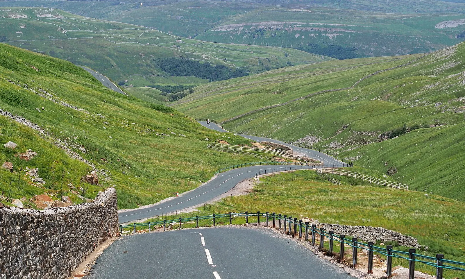
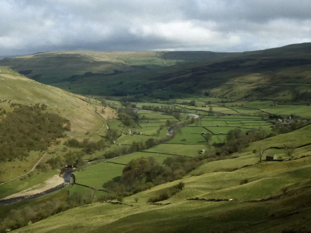
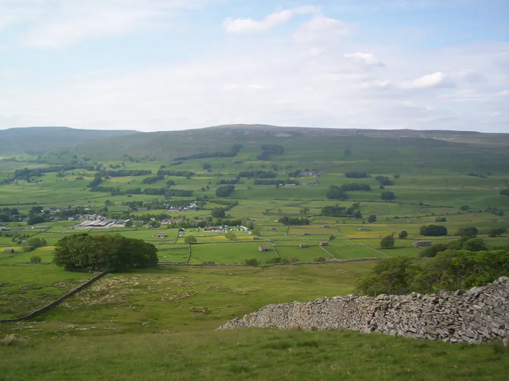
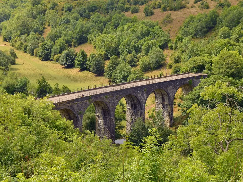
The Buttertubs Pass road winding down into Swaledale between green fells

Photos: Kreuzschnabel (CC BY-SA 3.0), Chris Heaton (CC BY-SA 2.0), Colin Park (CC BY-SA 2.0), John Welford (CC BY-SA 2.0)

Distance
92 km (57 miles), the Kettlewell loop over Fleet Moss and Park Rash
Buttertubs Pass
4.4 km at 6.5% from Hawes, to 526 m
Highest road
About 589 m, Fleet Moss
Long route
Yorkshire Dales Cycleway, 210 km (130 miles)

Why go

On 5 July 2014 the Tour de France opened with a stage from Leeds to Harrogate that looped through the Dales, and its roads are now among the most ridden in England. The climbs are short and steep, and the valleys between them are lined with drystone walls and stone barns. Jens Voigt led the race over Buttertubs that day and took the first polka dot jersey.

The route

Buttertubs Pass crosses the moor from Hawes in Wensleydale to Thwaite in Swaledale, named after limestone potholes near the top. From Hawes it climbs 4.4 km at 6.5%, with a short pitch of 20%. Fleet Moss runs south from Gayle, beside Hawes, and is listed as the highest paved road in Yorkshire. Park Rash climbs out of Kettlewell into Coverdale: 2.3 km at 11%, with 25% on the hairpins. Cycling UK's 92 km Kettlewell loop takes in both. To follow the 2014 stage, ride from Skipton up Wharfedale, over Kidstones to Hawes, over Buttertubs and down Swaledale to Reeth, then over Grinton Moor to Leyburn.

When to go

Late spring to early autumn gives the best chance of clear skies over the passes. Winter back roads are very quiet, but in December the light goes by about half past three and the lanes are wet and muddy. Fog, wind and rain can make the passes treacherous, and snow lies on Buttertubs in some winters.

Getting there

The Settle to Carlisle line has Northern trains about every two hours, seven days a week. Garsdale, once called Hawes Junction, is the nearest station to Hawes. Dent station sits high above its dale, with a very steep road down. Skipton also has trains.

Permits and booking

No permit or fee is needed to ride the roads. Northern trains take at most two bikes, so reserve where you can; local buses do not carry bikes. No 2026 closures were found on Buttertubs, Fleet Moss or Park Rash. Brunt Acres Road at Haylands Bridge, Hawes, closed from 13 April 2026 for about four weeks of flood repairs.

How hard it is

The climbs run about 2 to 6 km, but the steepest pitches reach 15% to 25%, and Park Rash is a tricky descent. Back lanes can be wet, muddy and potholed, with farm traffic. The high roads are quiet, while A roads such as the A65 carry lorries.

Where to sleep

The park suggests Hawes or Reeth for the northern dales, Grassington or Settle from the south, and Kirkby Stephen for the west. The Dales Bike Centre near Reeth has a 14 bed bunkhouse with secure bike storage, a drying room and bike hire.

Tips

  • Take Park Rash's hairpins wide, because the inside line is the steepest.
  • Buy route maps printed on waterproof paper at the Dales Bike Centre, where staff also advise on rides.
  • Check North Yorkshire Council's roadworks map before you go, since flood repairs can close bridges at short notice.
04 / 10

Eryri (Snowdonia)

Gwynedd, north Wales

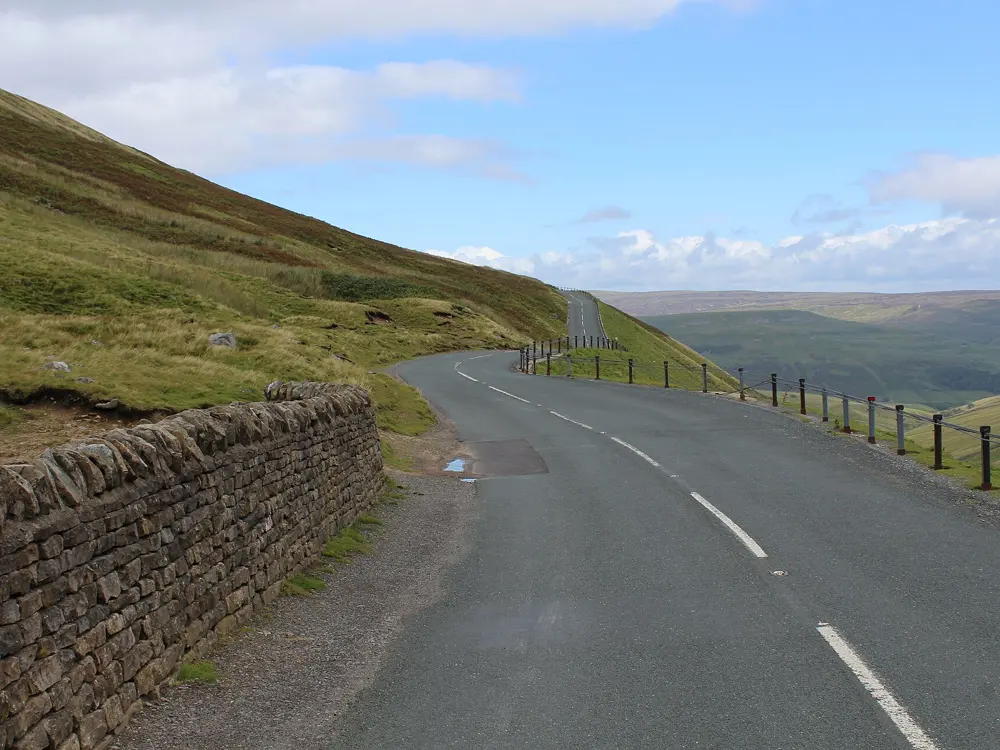
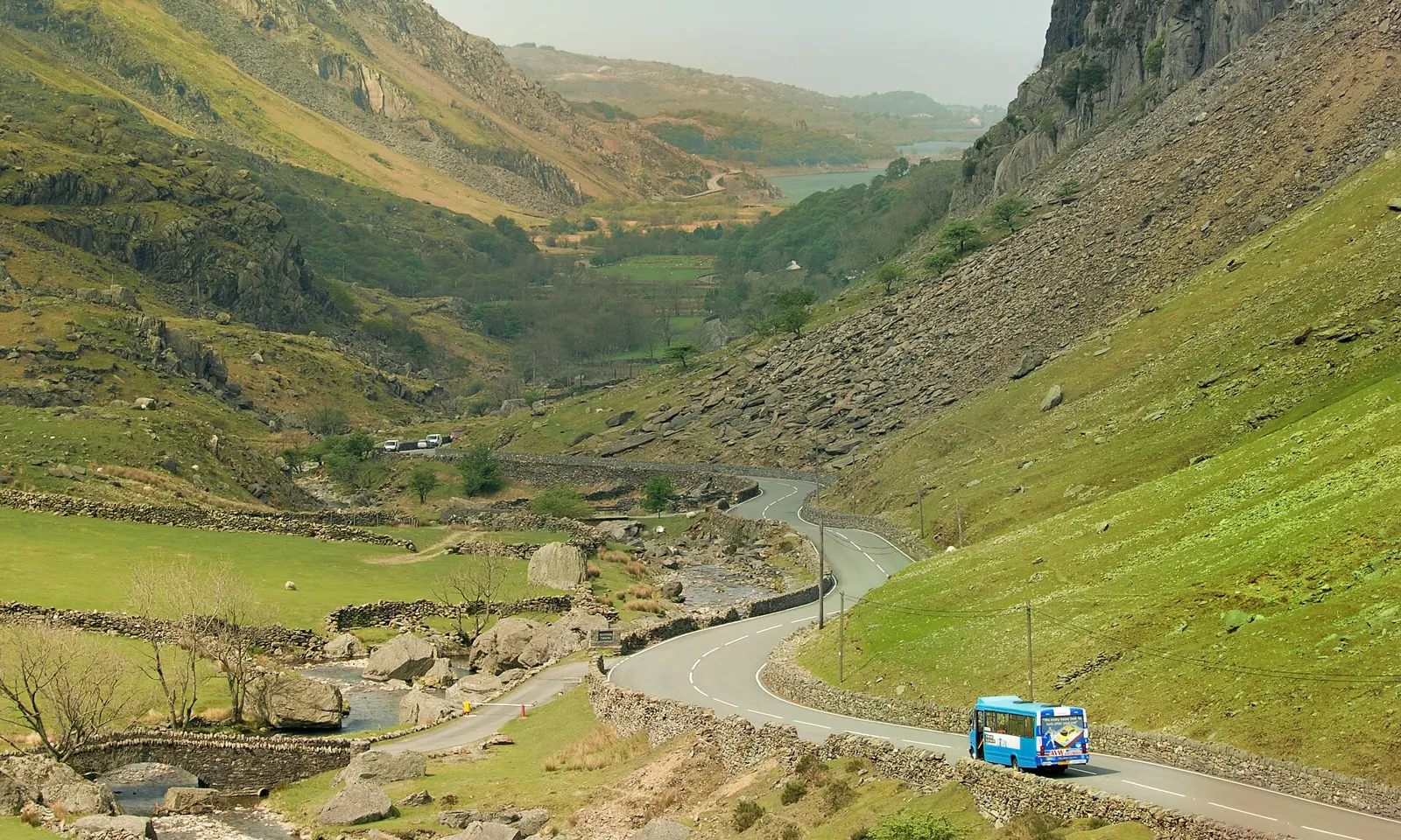
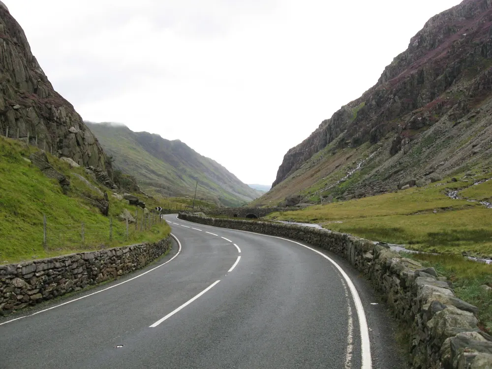
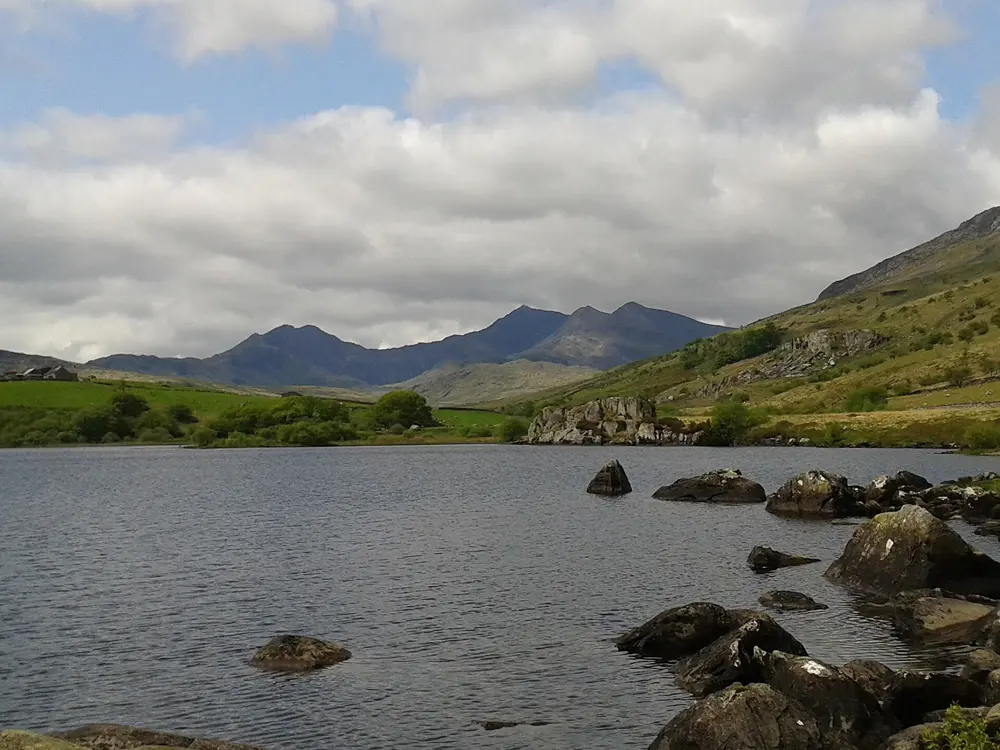
The A4086 winding up the Llanberis Pass between steep green slopes and crags

Photos: Denis Egan from Bangor, Gwynedd, North Wales (CC BY 2.0), Gareth James (CC BY-SA 2.0), Steven Brown (CC BY-SA 2.0), I Love Colour (CC BY-SA 2.0)

Distance
About 47 km (29 miles) for a classic loop over the Llanberis Pass
Highest point
Pen-y-Pass, 359 m
Trail centre
Coed y Brenin, 7 waymarked mountain bike trails
Season
All year, with summer bus timetables until 1 November 2026

Why go

Few places in Britain pack this much mountain road into so small an area. The Llanberis Pass climbs between the Snowdon massif and the Glyderau, with crags and boulders right beside the tarmac. South of the high peaks, Coed y Brenin is where British trail centre riding began: Natural Resources Wales calls it Britain's first purpose-built mountain biking centre.

The route

The best-known road climb runs from Llanberis past Nant Peris to Pen-y-Pass, a little over 8 km (5 miles). From the top you can drop to Beddgelert through Nant Gwynant or turn east towards Capel Curig and the Ogwen valley. Lôn Las Ogwen follows the old slate railway from Bangor through Bethesda to Idwal Cottage, 18 km (11 miles). At Coed y Brenin, trails range from the blue MinorTaur to the black Beast, 35 km with 1,100 m of climbing. For one brutal hill, Bwlch y Groes near Dinas Mawddwy climbs about 350 m in about 3.5 km to a 545 m summit.

When to go

Coed y Brenin is open all year, though its car park can close in snow, ice or high winds. The Sherpa'r Wyddfa summer bus timetable runs until 1 November 2026, and the bike restriction on the Yr Wyddfa bridleways lifts from 1 October to 30 April.

Getting there

Sherpa'r Wyddfa buses run from Llanberis, Nant Peris and Caernarfon up to Pen-y-Pass. Coed y Brenin is 8 miles north of Dolgellau off the A470; the nearest stations are Barmouth and Blaenau Ffestiniog, and buses stop on request at the entrance road.

Permits and booking

No permit is needed. The Pen-y-Pass car park must be booked through JustPark until 1 November 2026, from £25 for up to 8 hours, and Coed y Brenin charges £12 a day. The park authority asks riders not to cycle the Yr Wyddfa summit bridleways between 10:00 and 17:00 from 1 May to 30 September. Wales has a default 20 mph limit on restricted roads, usually lit village streets. From 19 October, tree felling diverts five Coed y Brenin trails, and National Grid cable works have closed the A4086 between Fach-wen and Brynrefail, near Llanberis, at times in 2026.

How hard it is

The road loops are steady rather than long: one of about 47 km over the pass climbs more than 600 m. The top of the pass is exposed to wind, and there are cattle grids on the descent towards Beddgelert. Bwlch y Groes reaches 1 in 4. Coed y Brenin grades run from green to black.

Where to sleep

Road riders base themselves in Llanberis, Beddgelert, Capel Curig or Bethesda, and the old Pen-y-Pass Hotel is now a youth hostel. For Coed y Brenin, Dolgellau is the nearest town.

Tips

  • Coed y Brenin's visitor centre is unstaffed with no first aid, so carry spares and food on the longer trails.
  • Check the National Grid and Gwynedd Council pages for current closures on the A4086 before riding out of Llanberis.
  • Ride the Llanberis Pass early in the day, before the walkers' traffic builds towards Pen-y-Pass.
05 / 10

The Isle of Arran

Firth of Clyde, Scotland

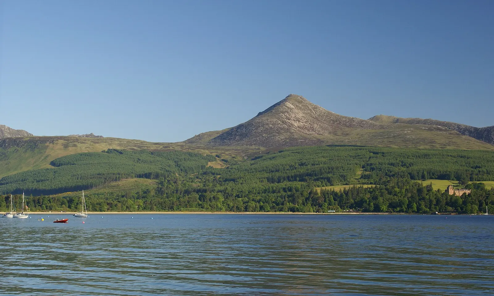
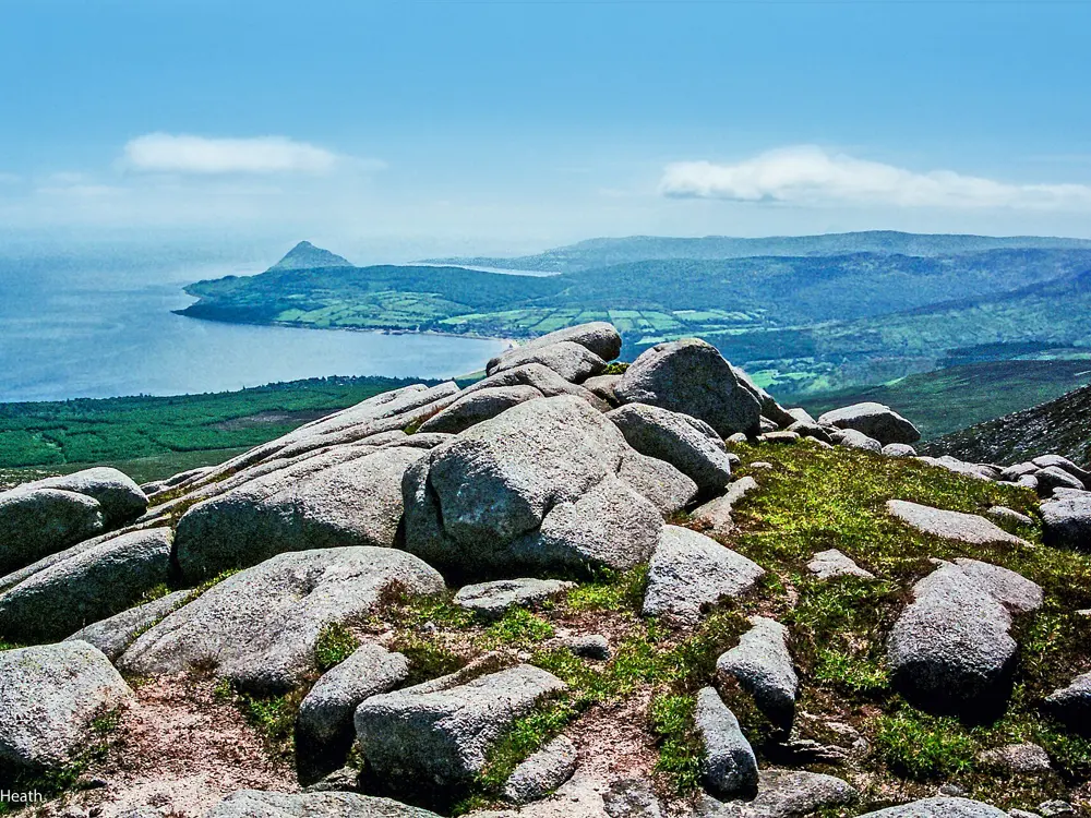
Goatfell rising above forest and the calm water of Brodick Bay on the Isle of Arran

Photos: Clydecoast (CC BY-SA 3.0), Raibeart MacAoidh (CC BY-SA 2.0), Robert J Heath (CC BY 2.0), Phil Sangwell from United Kingdom (CC BY 2.0)

Distance
Round the island: about 89 km (55 miles)
Climbing
About 966 m on the round
The String
3.3 km and 220 m of climbing from Brodick
Ferry
Ardrossan to Brodick in 55 minutes, bikes free

Why go

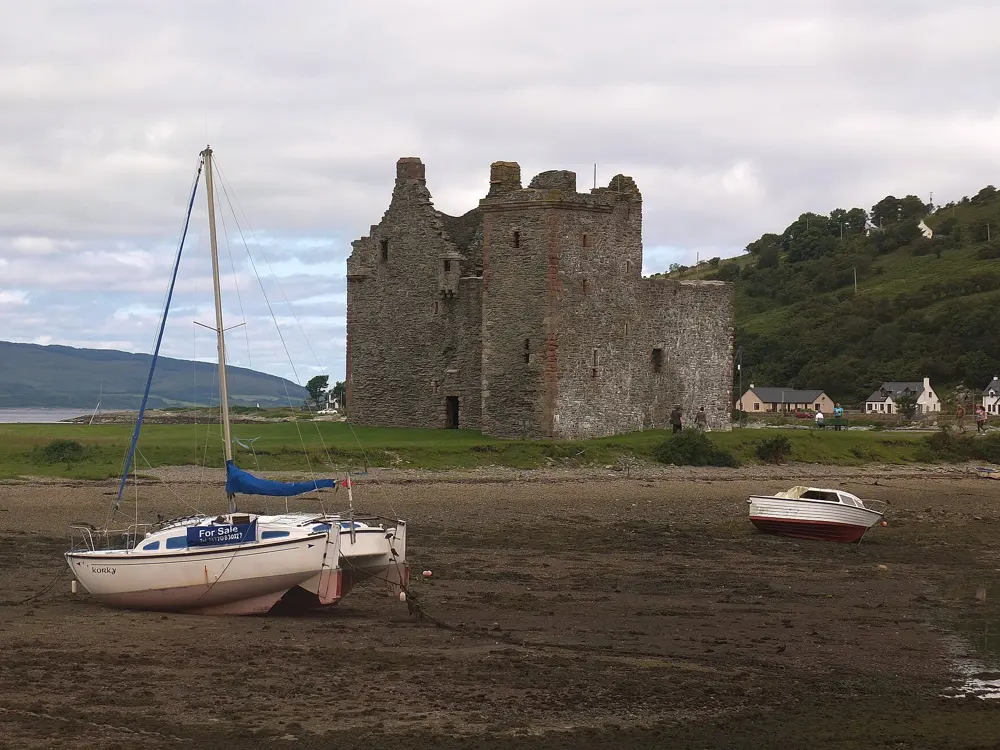
Arran sits in the Firth of Clyde within reach of Glasgow, and one road runs right round its coast. In a single day you can ride under the granite ridges of Goatfell in the north, past the castle and distillery at Lochranza, and along the low farmland and beaches of the south, with the sea beside you nearly all the way. Two roads cross the middle, so you can make the day shorter or much harder.

The route

The Arran Circular starts and ends at the Brodick ferry terminal and is usually ridden clockwise, about 89 km with about 966 m of climbing. Heading north, the road climbs the Boguillie between Sannox and Lochranza, about 5.5 km and 213 m from Sannox, then runs down the quieter west coast past Machrie, where riders often stop halfway. The south end, round Kildonan and back up through Lamlash, is hillier than the north. The String (B880) crosses the middle of the island from Brodick, 3.3 km and 220 m of climbing, and turns the circuit into a figure of eight of about 110 km. Further south the Ross climbs from Lamlash, 4 km and 272 m at an average gradient of about 7 percent.

When to go

Riders favour spring and autumn. May and June tend to bring more settled weather and quieter roads, and September can be clear once the summer crowds have gone. Wind is the main variable on an island this exposed.

Getting there

CalMac sails from Ardrossan, on the Ayrshire coast, to Brodick in 55 minutes. The newer ferry, Glen Sannox, sails from Troon instead, a crossing of 1 hour 20 minutes, because the Arran berth at Ardrossan is too small for her. Ardrossan's berth was closed for repairs from 7 September to 8 October 2026, with all sailings moved to Troon, and has since reopened. Glen Sannox has been taken out of service for repairs several times, so diversions and cancellations happen at short notice.

Permits and booking

No permit or fee is needed to ride on Arran. Bikes travel free on CalMac ferries, but you should add your bike to the booking, and space on busy sailings is not guaranteed unless you have booked.

How hard it is

None of the climbs is long, but the circuit is a full day with constant short hills, especially in the south, and wind off the sea. The Ross has an uneven surface and sheep on the road, and a few rough patches near the top that matter most on the descent. The island has no road bike hire, so bring your own.

Where to sleep

Most riders stay in Brodick, where the ferry lands, or in Lamlash a few miles south. Arran fills up quickly in summer, so book early.

Tips

  • If sailings are diverted to Troon, the shuttle bus from Ardrossan does not take bikes, including folding ones, so ride or take the train to Troon.
  • Check CalMac's service status page on the morning you travel.
  • Bikes board as vehicles, so arrive before the vehicle check-in closes.
06 / 10

The Peak District

Derbyshire and the South Pennines, England

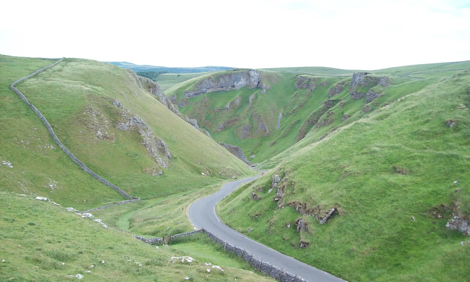
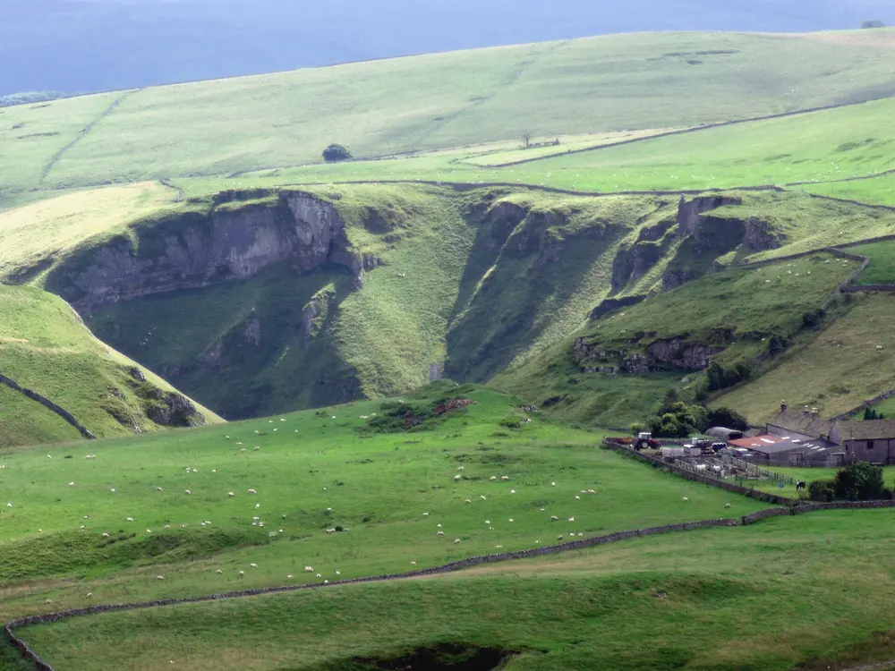
The road winding down through the green limestone gorge of Winnats Pass

Photos: Jonathan Clitheroe (CC BY-SA 2.0), Peter McDermott (CC BY-SA 2.0), cmglee (CC BY-SA 4.0), Stephen Burton (CC BY-SA 2.0)

Distance
Monsal Trail: 13.7 km (8.5 miles) one way
Winnats Pass
2.3 km (1.4 miles), 214 m of climbing, up to 20%
Holme Moss
4.7 km (2.9 miles) at 7% to 524 m
Snake Pass summit
510 m

Why go

Britain's first national park, designated in 1951, lies between Sheffield and Manchester. Its gritstone moors in the north carry long, exposed road climbs used by the Tour de France in 2014, and the Tour de France Femmes is due to cross Snake Pass in July 2027. To the south, the limestone dales of the White Peak hold old railway lines turned into level, traffic-free trails.

The route

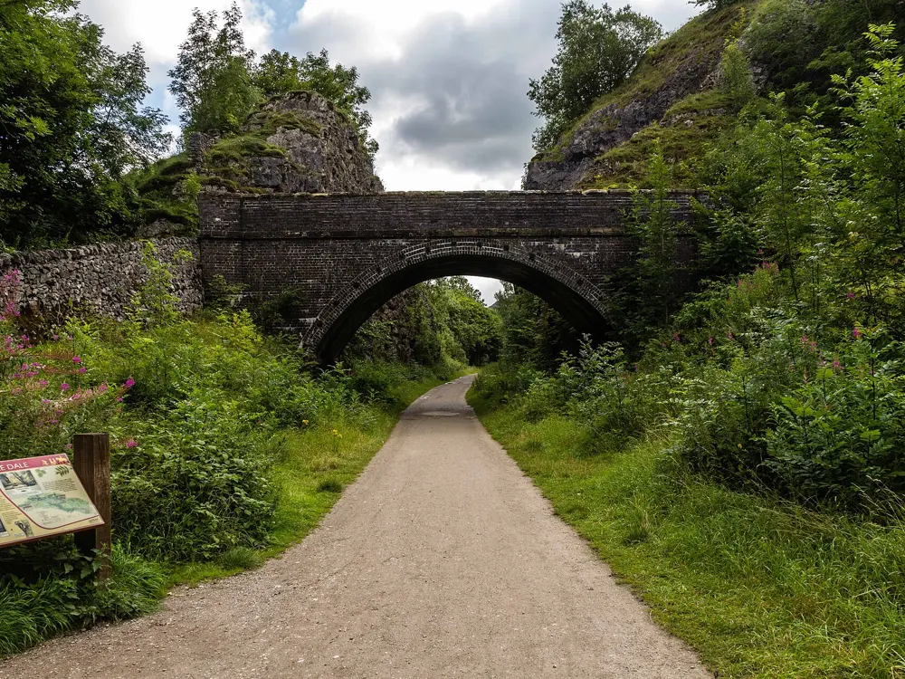
Winnats Pass climbs west out of Castleton through a narrow limestone gorge, holding close to 20% near the top. Next door, Mam Nick climbs 2.1 km (1.3 miles) from Barber Booth at about 10%. Holme Moss rises from Holmbridge to 524 m, with its last kilometres at 10 to 13%. Snake Pass is the long, steady one, about 11.2 km (7 miles) at under 3% from Ladybower to its 510 m summit. Off road, the Monsal Trail crosses the Headstone Viaduct and runs through four tunnels of about 400 m each between Blackwell Mill and Bakewell. The Tissington Trail runs 21 km (13 miles) from Ashbourne to Parsley Hay, where it meets the 27 km (17 mile) High Peak Trail.

When to go

Late spring to early autumn is the riding season. The road north of Fairholmes in the Upper Derwent Valley is closed to traffic every Sunday, and on Saturdays and bank holidays from Easter to the end of October. In winter, snow drifts can shut Holme Moss, and the Monsal Trail tunnel lights switch off around 4.30 pm.

Getting there

The Hope Valley Line links Sheffield and Manchester Piccadilly, with hourly Northern stopping trains to Hathersage, Bamford, Hope and Edale, the stations nearest the big climbs. Northern carries bikes free without booking, first come first served, but not on its busiest weekday peak trains.

Permits and booking

No permit or fee is needed to ride the roads or the trails. Snake Pass suffers from landslips: it closed to motor traffic from 15 June to 3 July 2026 for ground investigations, and temporary traffic lights and a 20 mph limit remain at Alport. No trail closure had been announced for autumn 2026, but the park posts short-notice closures on its website.

How hard it is

The trails are firm and nearly level, though the High Peak Trail has a few steep inclines. The road climbs are short but steep, and the moor tops are exposed to wind. Winnats Pass is narrow, has two cattle grids and carries a lot of cars, so take the descent with care.

Where to sleep

Road riders tend to base themselves in Castleton, Hope or Edale, close to the climbs and the railway. Trail riders stay in Bakewell, at the southern end of the Monsal Trail, or in Ashbourne or Buxton.

Tips

  • The park runs cycle hire centres at Ashbourne, Parsley Hay and Fairholmes in the Upper Derwent Valley. Helmets, pumps, puncture kits and locks come free with hire, subject to availability, and Derwent takes card or contactless only.
  • On the Monsal Trail, private hire is available at Hassop Station near Bakewell and at Blackwell Mill.
  • Check the park's trail closures page and Derbyshire County Council's Snake Pass page before you set out.
07 / 10

The Causeway Coast and the Antrim Coast Road

County Antrim, Northern Ireland

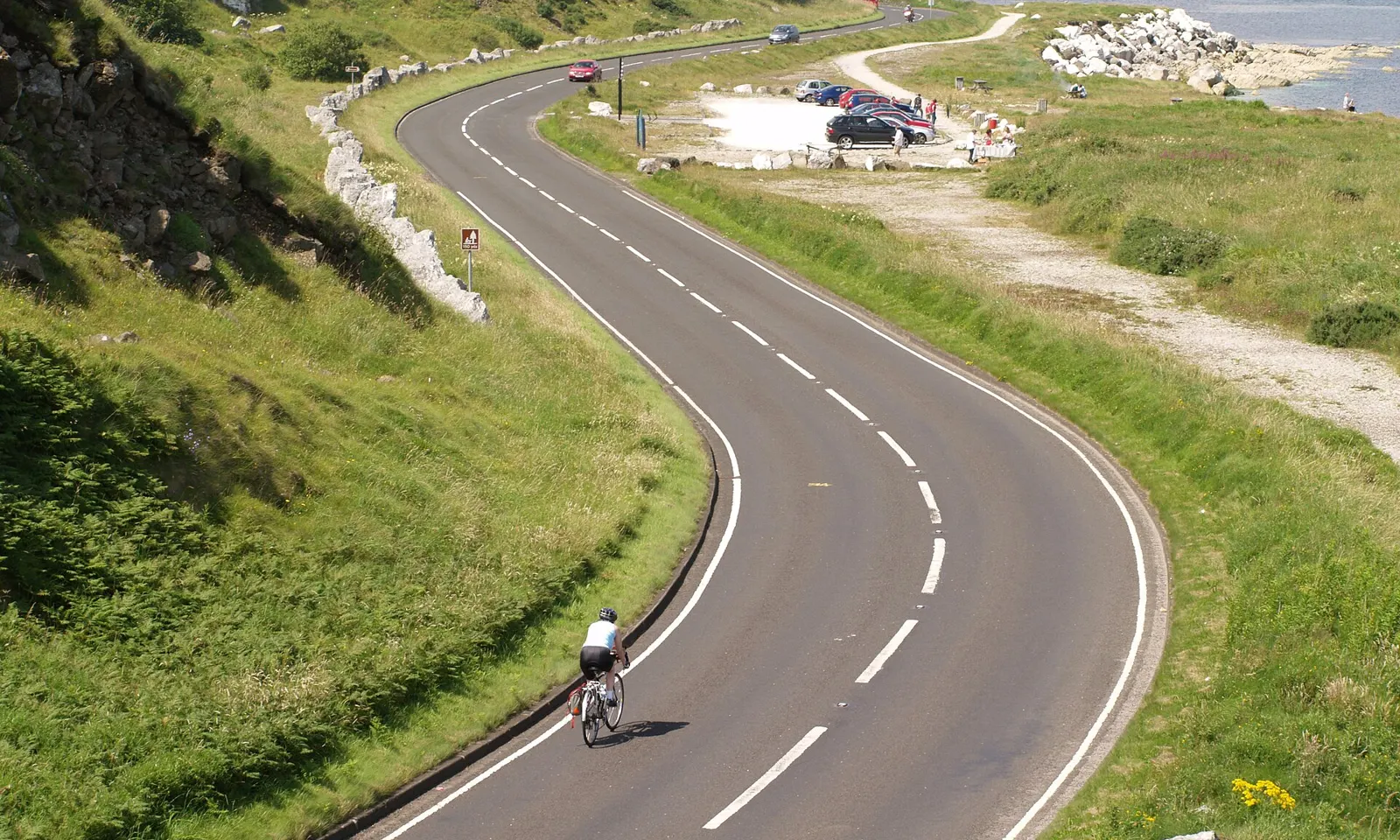
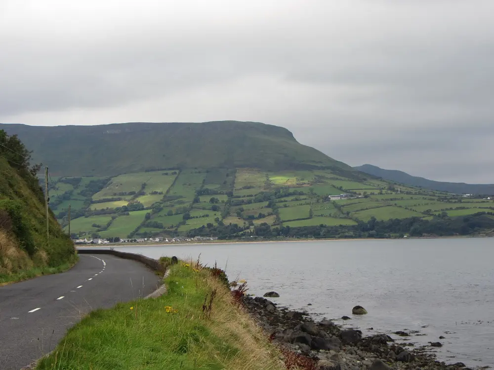
A cyclist riding the curving Antrim Coast Road above the sea on the approach to Glenarm

Photos: Robert Ashby (CC BY-SA 2.0), Rossographer (CC BY-SA 2.0), Chmee2 (CC BY 3.0), Gareth James (CC BY-SA 2.0)

Distance
106 km (66 miles), Ballygally to Portstewart over two days
Steepest climb
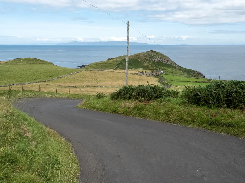
Torr Head road, average 16%, parts at 22%
NCN Route 93
36.8 km (22.9 miles), Giant's Causeway to Castlerock
Railheads
Larne, Coleraine, Portrush and Castlerock

Why go

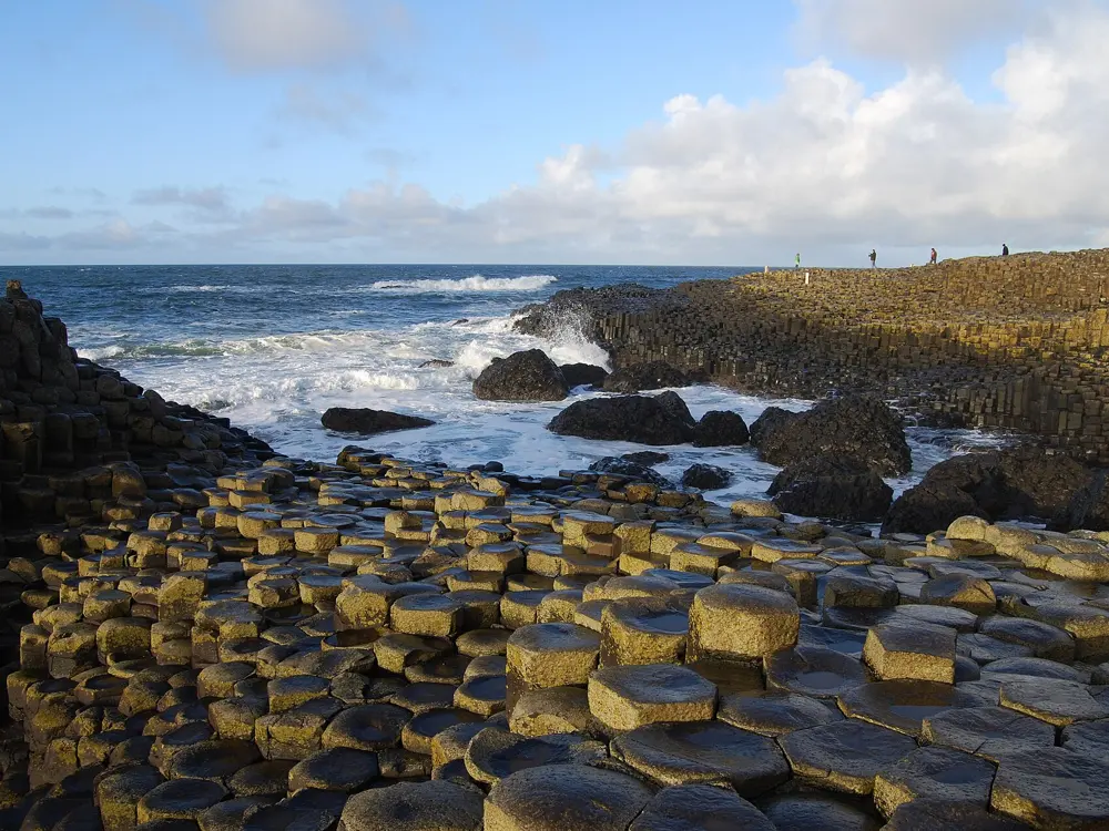
North of Larne the A2 runs at the foot of the cliffs, close to the sea, past the mouths of the nine Glens of Antrim. Beyond Ballycastle the road turns west to the basalt of the Giant's Causeway, about 40,000 columns, and the beaches at Portrush and Portstewart. On a clear day the Torr Head road looks across to Scotland.

The route

The classic two days start at Ballygally, north of Larne. Day one runs 66 km through Glenarm, Carnlough and Cushendall to Cushendun, then either inland on the signed Causeway Coastal Route or over the Torr Head scenic road to Ballycastle. Day two is about 40 km past Carrick-a-Rede, Whitepark Bay, the Causeway and Dunluce Castle to Portstewart. National Cycle Network Route 93 follows this coast, and from the Causeway to Castlerock it runs 36.8 km through Portrush and Coleraine. Cycling UK's 104 km (65 mile) loop from Ballycastle adds the Dark Hedges and Torr Head.

When to go

The weather can turn at any time of year, and the moorland above the glens is exposed and windy, so carry wet weather gear whatever the month. The Giant's Causeway Visitor Experience keeps 9am to 5pm hours until 25 October; the coastline itself never closes.

Getting there

Belfast's airports and the ferries from Cairnryan into Belfast and Larne put you close to the start. Trains run from Belfast Grand Central to Larne Harbour, and the Derry~Londonderry line serves Coleraine and Castlerock, with a branch to Portrush. Cycling UK says full size bikes are not allowed on trains before 09.30, with four per train; check Translink before you travel. Ballycastle is about 90 km (56 miles) north of Belfast.

Permits and booking

No permit is needed to ride. Walking down to the Causeway coast is free at all hours; the paid Visitor Experience covers the centre and parking, with a discount for arriving by bike. Book it and Carrick-a-Rede ahead in summer. The A2 near Larne has had several closures for rockfall work, so check DfI Roads notices; we found none for autumn 2026.

How hard it is

The A2 itself is mostly rolling on smooth tarmac. The Torr Head road is the hard part: narrow, steep climbs averaging 16% with sections at 22%, which Cycling UK rode on a 34 by 28 gear. Route 93 west of the Causeway is about 93% asphalt and 38% traffic free, with several miles on the road between the paths.

Where to sleep

Most riders split the coast at Ballycastle, where the Marine Hotel on the seafront has secure bike storage. Cushendall makes a shorter first day. Portstewart and Portrush end the second, and there is a hotel at the entrance to the Giant's Causeway.

Tips

  • If Torr Head looks too much, follow the Causeway Coastal Route signs inland from Cushendun to Ballycastle.
  • Fit a compact chainset and a 28 tooth sprocket or larger for the short, steep climbs.
  • Carry a jacket even in summer, since the moors above the glens are exposed.
08 / 10

Bannau Brycheiniog (Brecon Beacons)

Bannau Brycheiniog National Park, south Wales

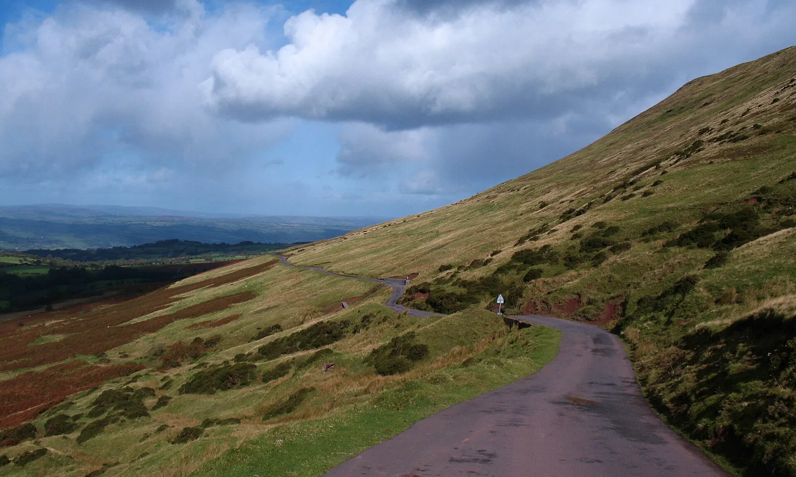
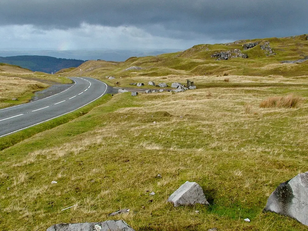
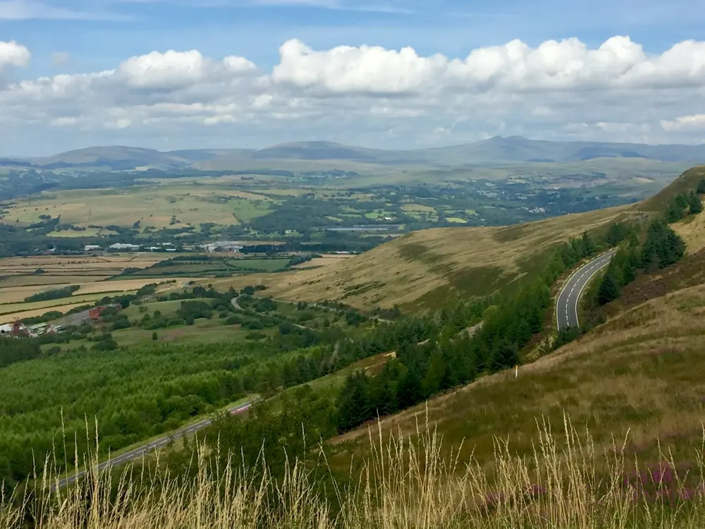
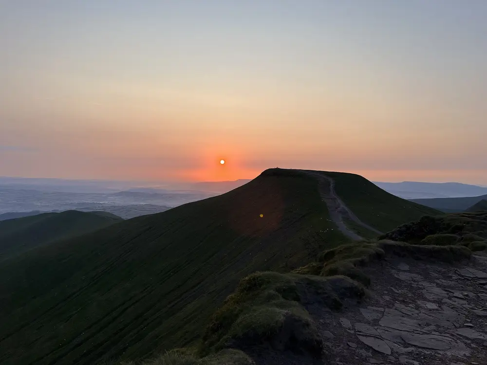
A narrow mountain road climbing to the Gospel Pass between green hills under a cloudy sky

Photos: Gordon Hatton (CC BY-SA 2.0), Peter Evans (CC BY-SA 2.0), Alan Hughes (CC BY-SA 2.0), Michael Wardlaw (CC BY-SA 4.0)

Distance
107 km (66 miles), Gospel Pass and Usk Valley loop
Highest road
Gospel Pass, 549 m
Gospel Pass climb
8.5 km (5.3 miles) from Hay-on-Wye, 464 m of ascent
Taff Trail
88.5 km (55 miles), Cardiff to Brecon

Why go

This national park holds the highest road in Wales at the Gospel Pass, a long moorland climb over the Black Mountain in the west and a mostly traffic-free trail from Cardiff Bay to Brecon. Between them lie quiet valley lanes, reservoirs and forest tracks, so road riders, families and mountain bikers can share the same market towns.

The route

The Gospel Pass, Bwlch yr Efengyl, leaves Hay-on-Wye and squeezes between Twmpa and Hay Bluff at 549 m before dropping into the Vale of Ewyas past Llanthony Priory. Visit Wales strings it into the Gospel Pass and Usk Valley Classic, a 107 km loop from Abergavenny with 2,292 m of climbing that adds Llangynidr Mountain and The Tumble, a steep climb used by the Tour of Britain. In the west, the A4069 crosses the Black Mountain between Llangadog and Brynamman; the real climbing starts at the stone bridge at Pont Aber and runs 6.5 km to the top. The Taff Trail, part of National Cycle Route 8, climbs from Merthyr Tydfil over the Torpantau Pass into Brecon. For a gentler day, follow the Monmouthshire and Brecon Canal between Brecon and Abergavenny.

When to go

The high roads are exposed and the Gospel Pass is occasionally blocked by snow in winter, so most riders come between spring and autumn. Cloud often sits on the tops even in summer; check the Met Office mountain forecast first.

Getting there

Abergavenny has hourly direct trains on the Cardiff to Manchester line. Brecon has no station, but a Stagecoach bus runs there from Abergavenny through Crickhowell. Llandovery, on the Heart of Wales line, is closest to the Black Mountain.

Permits and booking

No permit or fee is needed to ride the roads or the Taff Trail. Off road, you may cycle on bridleways and byways but not on footpaths, and you must give way to walkers and horse riders. The Llanthony Valley road, the southern approach to the Gospel Pass, was closed by a landslip between Cwmyoy and Llanthony on 30 January 2026 and fully reopened on 22 May 2026.

How hard it is

From Hay-on-Wye the Gospel Pass climbs 464 m in 8.5 km at an average of 5.5%, with a steepest 100 m of 14.4%. It is single track for most of its length, with passing places and sheep on the road. The A4069 from Pont Aber averages 5.6%. The Taff Trail is about 70% traffic-free on mixed surfaces, and a sturdier bike is recommended from Pentwyn Reservoir to Talybont Reservoir.

Where to sleep

Abergavenny suits road riders, with rail links, cafes and bike services, and Hay-on-Wye puts the Gospel Pass on your doorstep. Brecon sits at the end of the Taff Trail. The park names Brecon, Talybont-on-Usk, Sennybridge, Crickhowell and Talgarth as mountain biking hubs, with Crickhowell and Talgarth for experienced riders.

Tips

  • Drover Cycles hires bikes from Hay-on-Wye and Talybont and can deliver them to your accommodation.
  • For uplifted downhill riding, BikePark Wales runs a minibus shuttle in Gethin Woods, just outside Merthyr Tydfil and south of the park.
  • Climb the Gospel Pass from Hay-on-Wye and take the narrow descent through the Vale of Ewyas slowly.
09 / 10

Glentress and the Tweed Valley

Peebles and Innerleithen, Scottish Borders, Scotland

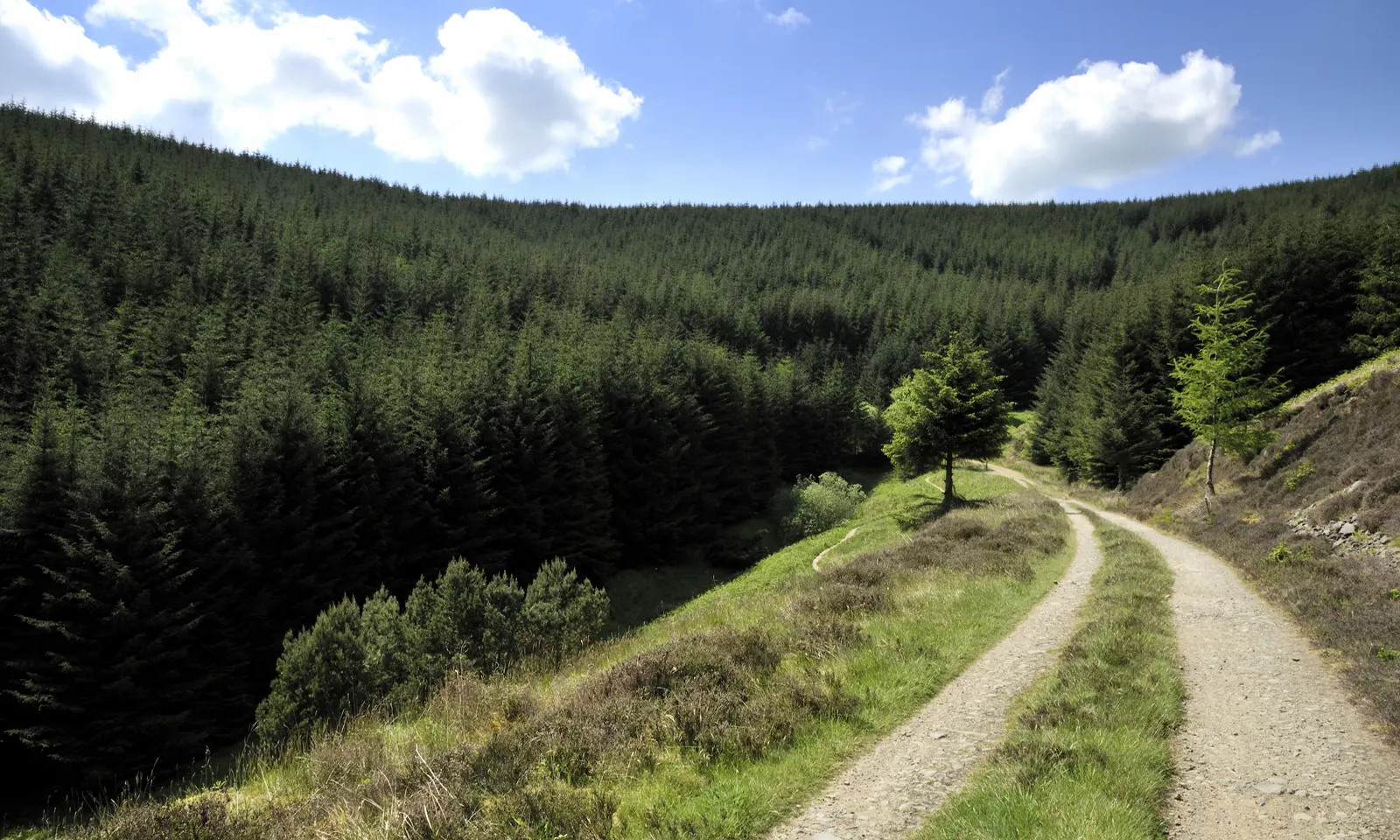
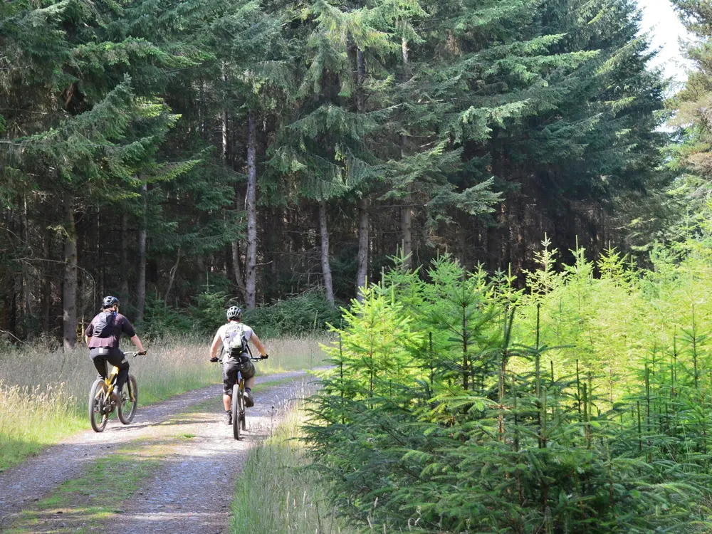
A gravel forest road climbing through conifer plantations at Glentress under a blue sky

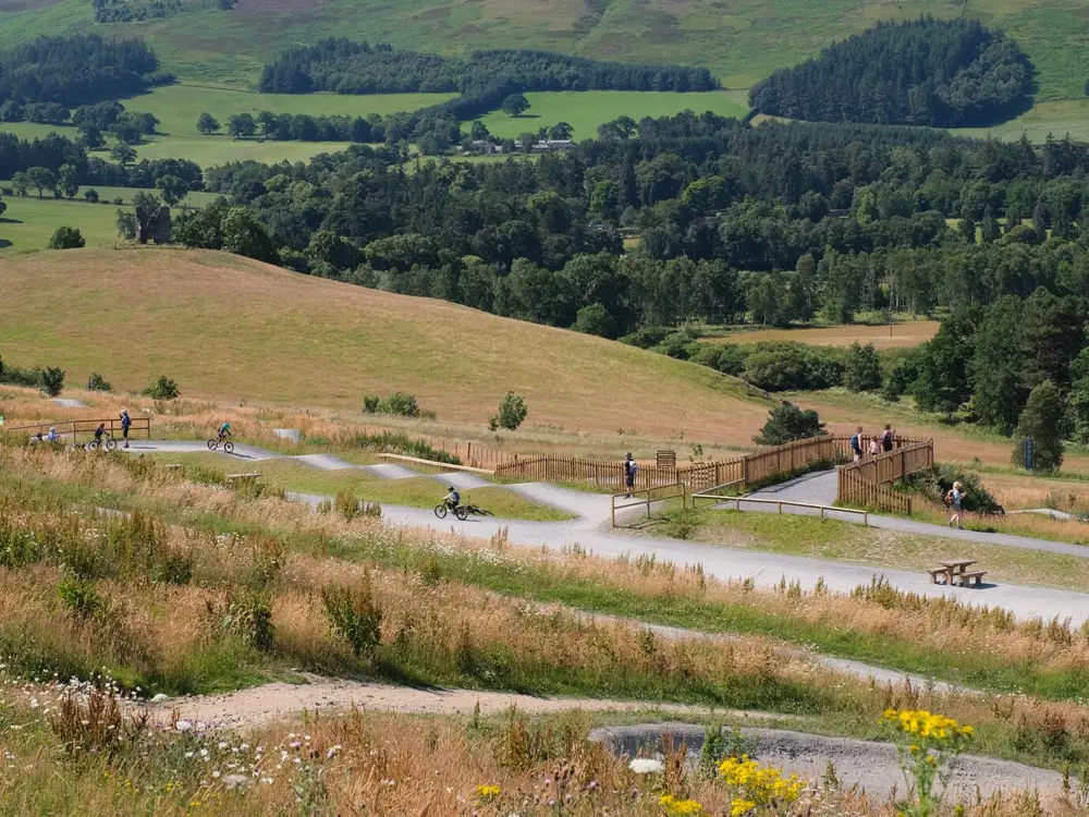
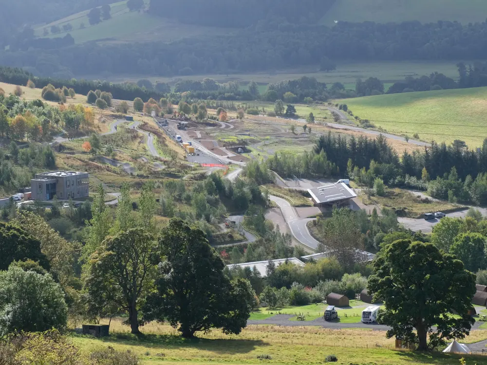
Photos: Estrnc (CC BY 3.0), Jim Barton (CC BY-SA 2.0), Jim Barton (CC BY-SA 2.0), Jim Barton (CC BY-SA 2.0)

Distance
18 km (11¼ miles), Glentress Red Route
Trails
Over 75 km (45 miles) of dedicated trail at Glentress
Grades
Green to black at Glentress; red XC and extreme downhill at Innerleithen
Parking
Glentress £6 all day, Innerleithen £4 all day

Why go

Glentress and Innerleithen are the two 7stanes mountain bike centres in Tweed Valley Forest Park, run by Forestry and Land Scotland. Glentress, one of Scotland's original trail centres, has over 75 km (45 miles) of dedicated trail. In August 2023 it hosted the cross-country events of the first UCI Cycling World Championships, where Tom Pidcock and Pauline Ferrand-Prévot won the elite races. Innerleithen, up the valley, is known for its downhill tracks.

The route

The Glentress Red Route is the classic ride: 18 km (11¼ miles) of big climbs, valley views and fast descents, allowing 1½ to 3 hours. At the end you choose the shortcut called The Pie Run, the more natural Matrix and Lombard Street, or the flow trails Twitcher and Smells Like Tweed Spirit. The Blue Route covers 16 km (10 miles) and the Black Route 29 km (18 miles). At Innerleithen the 19 km (11¾ mile) XC trail climbs to the summit of Minch Moor, and four downhill tracks drop from Plora Rig.

When to go

The Glentress Gateway building and the Alpine Bikes shop open daily from 9am to 5pm. In autumn 2026 tree felling at Glentress has finished, but parts of the Red and Black routes stay closed for repairs. At Innerleithen, felling around Cadon Bank closes a forest road on weekdays, so weekends give the fullest XC loop.

Getting there

Glentress is signposted on the north side of the A72 between Peebles and Innerleithen, about an hour from Edinburgh. Borders Buses' X62 runs from Edinburgh through Peebles to Innerleithen, and some of its double deckers carry four bikes. The flat, traffic-free Tweed Valley Railway Path links Peebles, Cardrona and Innerleithen, with a short signed link to Glentress.

Permits and booking

No permit or booking is needed to ride the trails. Glentress parking is free for 30 minutes, then £3 for an hour or £6 for the day; Innerleithen charges £1.50 an hour or £4 a day. Blue Badge holders park free. The Innerleithen uplift, every 15 minutes when running, is booked through Adrenalin Uplift. A larch disease has reached Traquair Forest, so arrive with clean bikes and shoes.

How hard it is

Red trails mean steep climbs, drop-offs, roots and large rocks on very variable surfaces; black adds long climbs and severe features. The Innerleithen downhills are graded extreme, and full face helmets and body armour are strongly recommended. Current closures include Boundary Trail, Double X and Head Over Heels on the Glentress Black Route, and Cadon Bank and Plora Craig on the Innerleithen XC, all with signed diversions.

Where to sleep

Most riders stay in Peebles or Innerleithen and ride the railway path to the trails. Glentress Forest Lodges sit at the forest entrance, and self-contained campervans can stay a night in the Innerleithen trail car park for £10.

Tips

  • Read the local alerts pages for Glentress and Innerleithen on the Forestry and Land Scotland site before you go, as diversions change often.
  • Warm up on the skills area and taster trails east of the Gateway before the main routes.
  • The Gateway has changing rooms, lockers and showers that take £1 coins, and a bike wash in the lower car park.
10 / 10

Box Hill and the Surrey Hills

Surrey, England

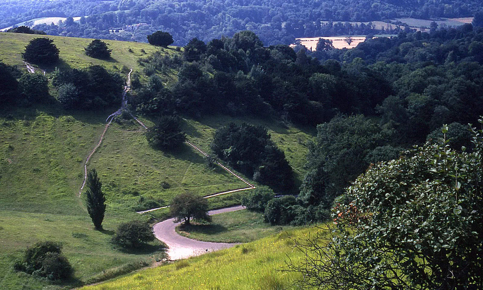
The Zig Zag Road curving up the green slopes of Box Hill

Photos: Peter Shimmon (CC BY-SA 2.0), nick macneill (CC BY-SA 2.0), Len Williams (CC BY-SA 2.0), Peter S (CC BY-SA 2.0)

Distance
2.5 km (1.6 miles), Zig Zag Road up Box Hill
Average gradient
4.9% on the Zig Zag Road
Olympic circuit
About 15.5 km (9.6 miles), ridden nine times by the men in 2012
Highest point
Leith Hill, 294 m

Why go

Box Hill is the climb London rides to. The National Trust has cared for the hill since 1914, and its Zig Zag Road, with hairpins cut into the chalk above Dorking, became famous in the London 2012 Olympic road race. On a Sunday morning you share it with hundreds of riders an hour. Around it, the Surrey Hills offer wooded lanes, steeper climbs and village cafes within an hour of London by train.

The route

The Zig Zag Road leaves the Old London Road at the foot of the hill and climbs to the National Trust cafe at the top. The Olympic road race looped a circuit of about 15.5 km around Box Hill: the men rode it nine times, the women twice. Surrey Hills National Landscape publishes an 8 mile (13 km) Olympic loop from the Burford Bridge Hotel through Headley. To the south west, Leith Hill climbs to 294 m; the RideLondon sportive, which used both hills from 2013 to 2019, put its steepest pitch at 14 per cent. Cycling UK's 69 km (43 mile) Surrey Hills and Lanes loop from Godalming climbs towards Leith Hill through Holmbury St Mary and stops at Peaslake village stores.

When to go

The roads are ridden all year. Weekends are very busy with cars and cyclists, so come midweek if you can. RideLondon moved to Essex in 2022, so the hills no longer close for it.

Getting there

Box Hill and Westhumble station sits at the foot of the hill, with an hourly off peak train each way to London Victoria and London Waterloo. South Western Railway does not carry full size bikes on weekday trains due into Waterloo between 07:15 and 10:00 or leaving it between 16:45 and 19:00; folding bikes may travel at any time.

Permits and booking

No permit is needed to ride. The Zig Zag Road is owned by the National Trust, and organised sportives need its licence: one a day, uphill only. At Box Hill and Leith Hill, ride on roads and bridleways, never footpaths. A Surrey County Council order from 13 April 2026 allows roadworks on several Mole Valley roads, including the A25 Westcott Road out of Dorking, and cyclists must follow the signed diversion when one is closed.

How hard it is

The Zig Zag averages 4.9 per cent, long rather than steep, and suits most riders, though cars use it to reach the car park. The lanes around Leith Hill, Holmbury and Peaslake are steeper and narrower, and Combe Bottom has a 20 per cent descent with blind bends.

Where to sleep

Most riders come out for the day from London. Those who stay use Dorking, which has pubs, cafes and bike shops, or the Burford Bridge Hotel at the foot of Box Hill.

Tips

  • At the top, the National Trust cafe has racks for 15 bikes, and Destination Bike in Box Hill village serves coffee below the hill.
  • The Summer Lightning mountain bike trail on Leith Hill is closed along its whole length, so stay on the open bridleways.

Sources

Distances, heights, seasons and permit rules were checked against these pages. Rules change, so check the park or trail authority before you go.