Rungs Labs

Rungs Pilgrimage · Climbing · United States

The 10 Best Places for Rock Climbing in the US

Yosemite Valley, California. Photo: Diliff (CC BY-SA 3.0)

The United States has granite big walls, desert cracks, steep sandstone sport crags and boulders a few metres high, much of it on public land. These ten run from Yosemite and Joshua Tree in California, through Red Rock in Nevada, Indian Creek in Utah, Smith Rock in Oregon, Eldorado Canyon in Colorado and Hueco Tanks in Texas, to the Red River Gorge in Kentucky, the New River Gorge in West Virginia and the Gunks in New York.

For each one you get the rock, the classic climbs and grades, the best season, how to get there, the permits, closures and access rules, how hard it is and where climbers stay. Every fact comes from park and land agencies, climbers' groups, Mountain Project, guidebooks or the other pages linked at the bottom.

Updated 2026-10-18

  1. 01Yosemite ValleyCalifornia
  2. 02Joshua Tree National ParkCalifornia
  3. 03Red Rock CanyonNevada
  4. 04Indian CreekBears Ears National Monument, Utah
  5. 05Smith Rock State ParkOregon
  6. 06Eldorado CanyonBoulder, Colorado
  7. 07Hueco TanksEl Paso, Texas
  8. 08Red River GorgeKentucky
  9. 09New River GorgeWest Virginia
  10. 10The GunksShawangunk Ridge, New York
01 / 10

Yosemite Valley

California
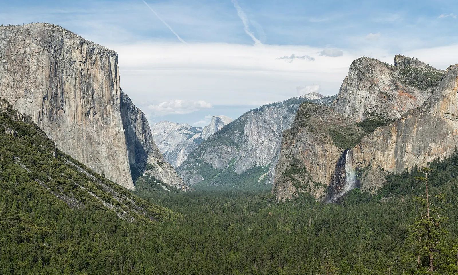
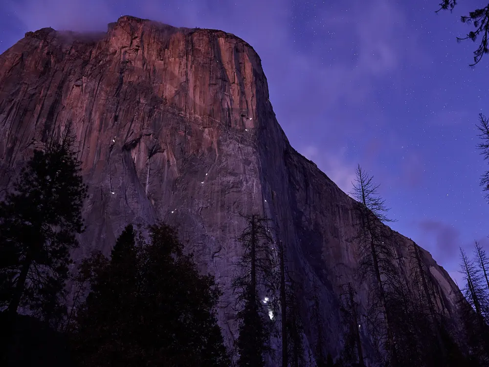
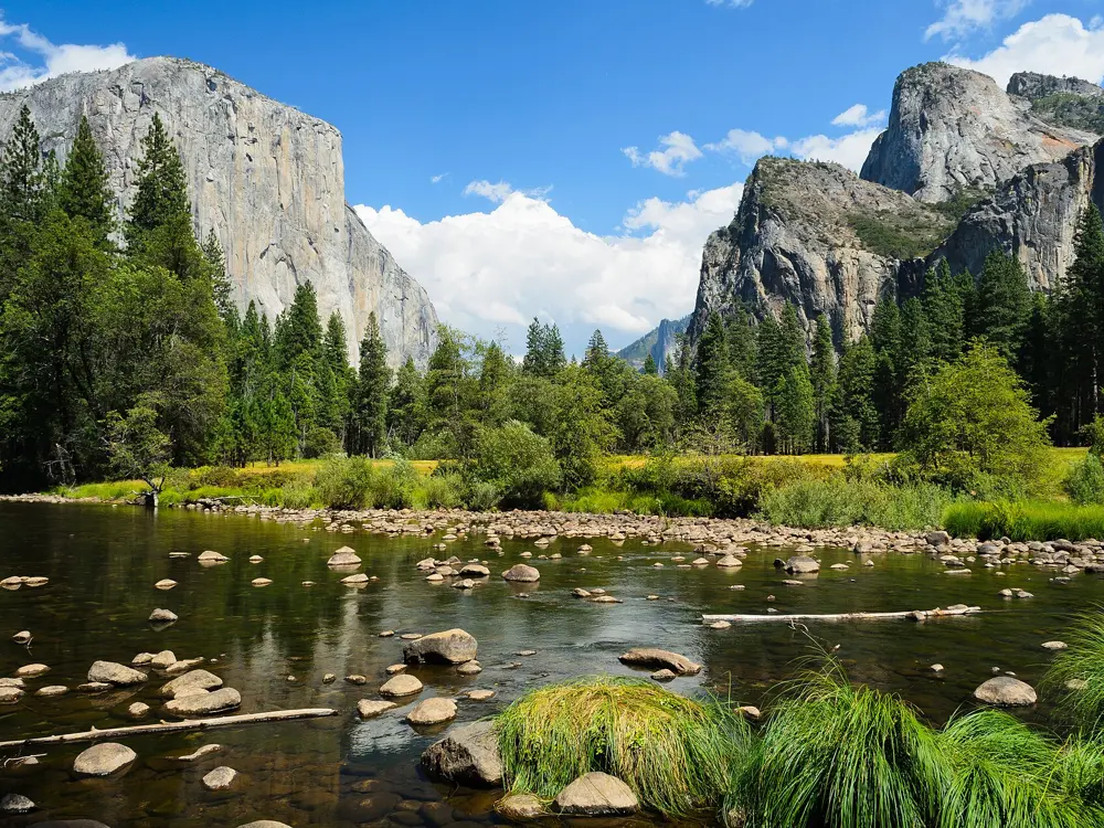
Yosemite Valley from Tunnel View, with El Capitan on the left, Half Dome in the distance and Bridalveil Fall on the right

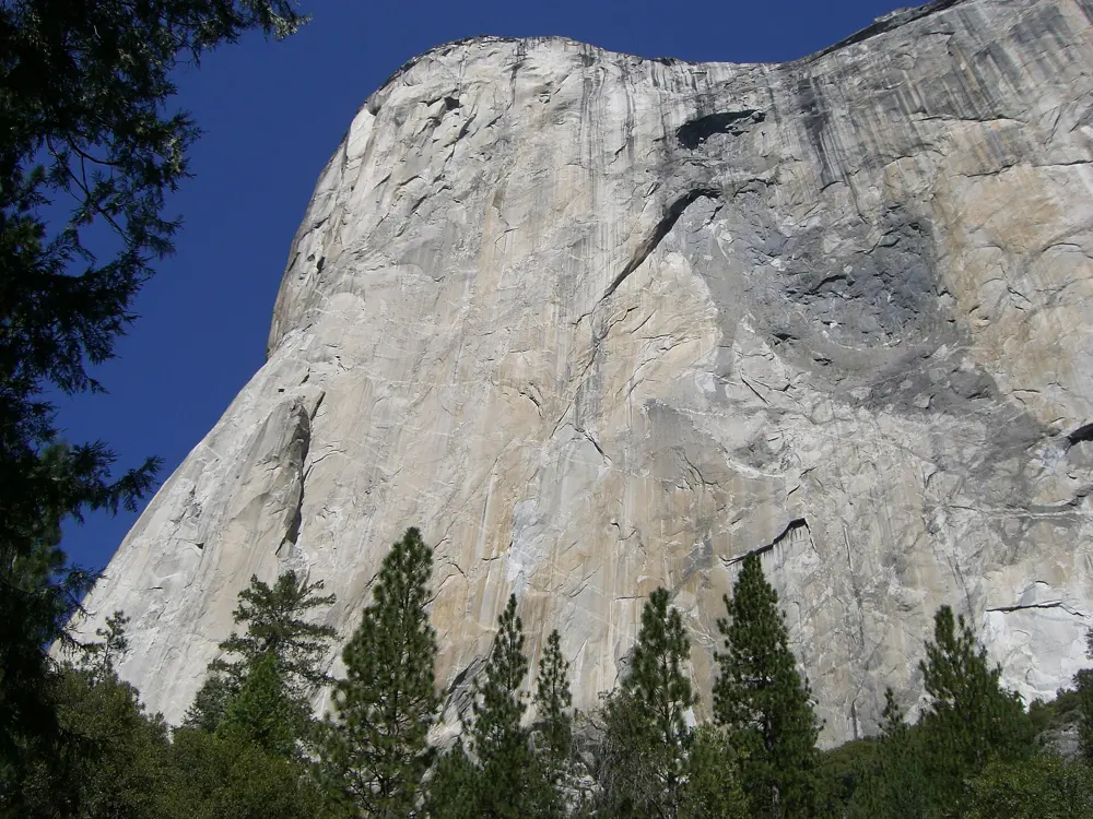
Photos: Diliff (CC BY-SA 3.0), C-M (CC BY-SA 4.0), King of Hearts (CC BY-SA 3.0), Meros Felsenmaus (CC BY-SA 3.0)

Rock
Granite of the Sierra Nevada batholith
Style
Trad cracks, multi-pitch, big wall aid and bouldering
Routes
1,913 in Yosemite Valley on Mountain Project
Best season
Spring and autumn

Why go

Mountain Project calls Yosemite the birthplace of American rock climbing, and big wall climbing grew up here. The southeast face of El Capitan rises about 3,000 feet, and Camp 4, at the foot of the north wall, joined the National Register of Historic Places in 2003 for that history.

The route

The Nose on El Capitan, first climbed in 1958 over 47 days, is 31 pitches and about 3,000 feet, rated 5.9 C2, Grade VI, on the Yosemite Decimal System. On Half Dome, Snake Dike is a 5.7 R, Grade III friction line of about 2,000 feet, followed by 1,000 feet of slab scrambling, and the Regular Northwest Face is 5.9. For valley cragging, the Nutcracker (5.8) and the Central Pillar of Frenzy (5.9, 5 pitches) on Middle Cathedral Rock are classics, and Columbia Boulder near Camp 4 holds Midnight Lightning, first climbed by Ron Kauk in 1978.

When to go

Spring, once the snow has melted and the cracks have dried, and autumn after Labor Day suit the Valley walls. In summer many climbers move up to Tuolumne Meadows, and in winter low, sunny crags such as Arch Rock and the Cookie Cliff stay climbable.

Getting there

Highways 140 from Merced, 120 from the Bay Area and 41 from Fresno reach the Valley, and YARTS buses, which connect with Amtrak, run in along them. The vehicle entrance fee is $35 for seven days, plus $100 for each non US resident aged 16 and over.

Permits and booking

Day climbs need no permit. Overnight big walls need a free wilderness climbing permit, self registered at the kiosk near El Capitan Bridge. Pack out solid human waste, and do not camp at the base of any Valley wall, except below Half Dome with a permit. Peregrine nest closures start on 1 March and usually lift by 15 July; on 16 July 2026 the park listed none in effect. There is no timed entry reservation in 2026.

How hard it is

Most Valley climbing is crack climbing on steep granite. Snake Dike has long runouts on its easy middle pitches and a six mile approach of 2.5 to 4 hours; take six slings and three or four small to medium cams. The park counts more than 100 climbing accidents a year, and rescue is not guaranteed.

Where to sleep

Camp 4 costs $10 per person per night. From 15 April to 29 November 2026 its sites were booked on Recreation.gov a week before arrival, up to six people per booking. In winter it is first come, first served.

Tips

  • Keep food out of packs you leave at the base of a climb, because of bears.
  • Snake Dike descends the Half Dome cables; when they are up, ask the park whether you need a Half Dome permit.
02 / 10

Joshua Tree National Park

California

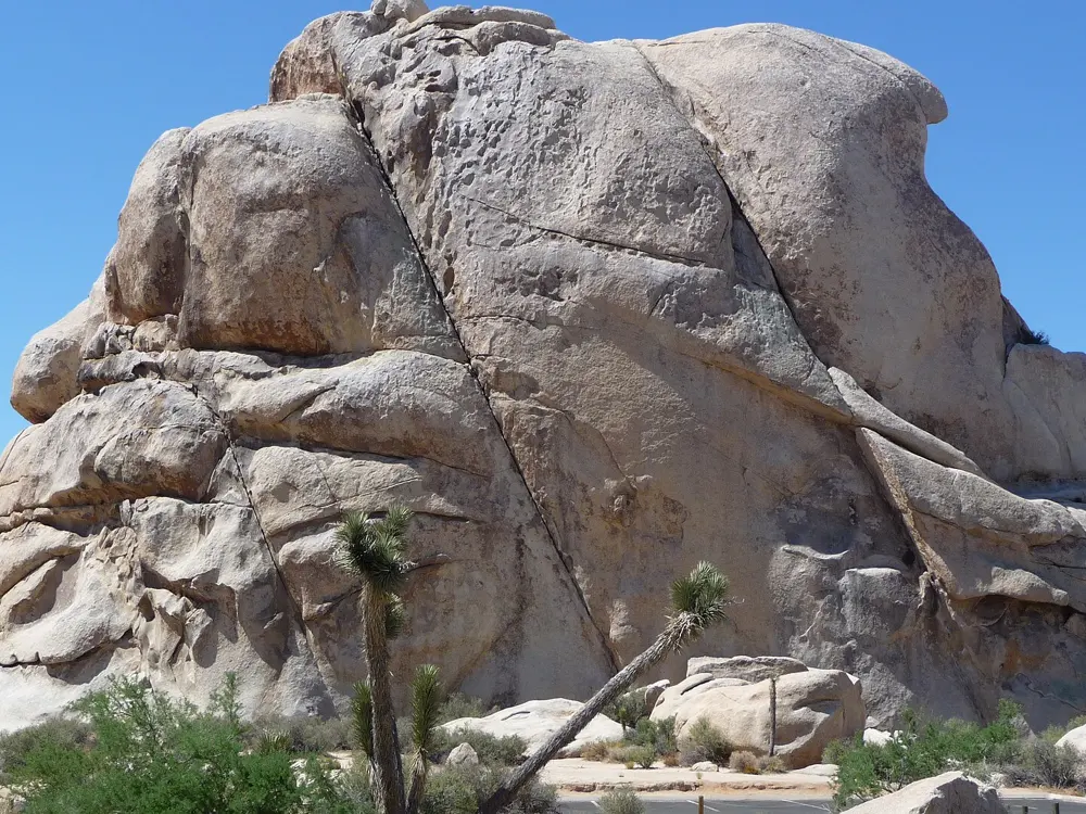
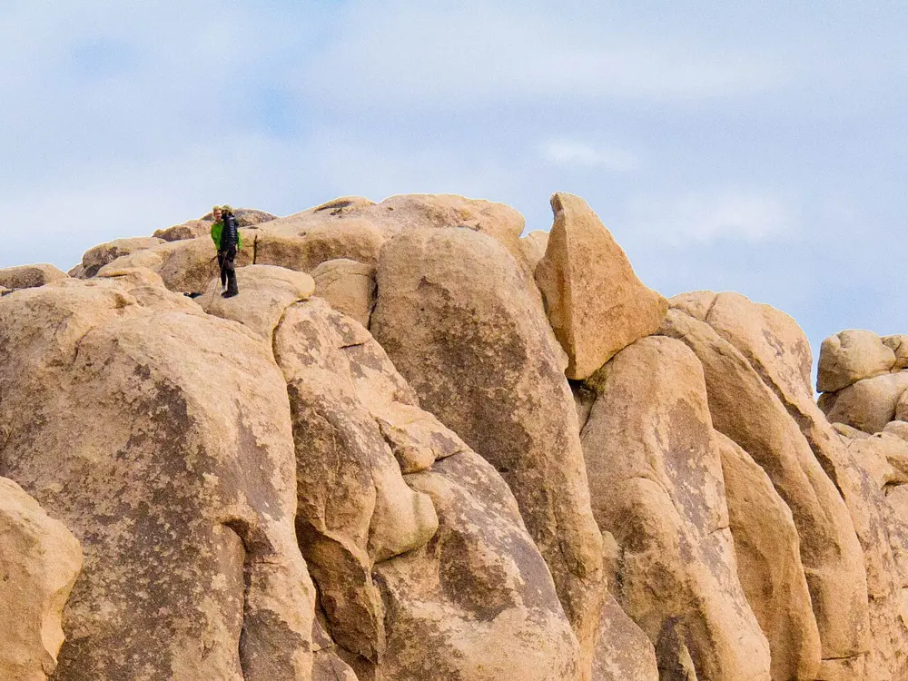
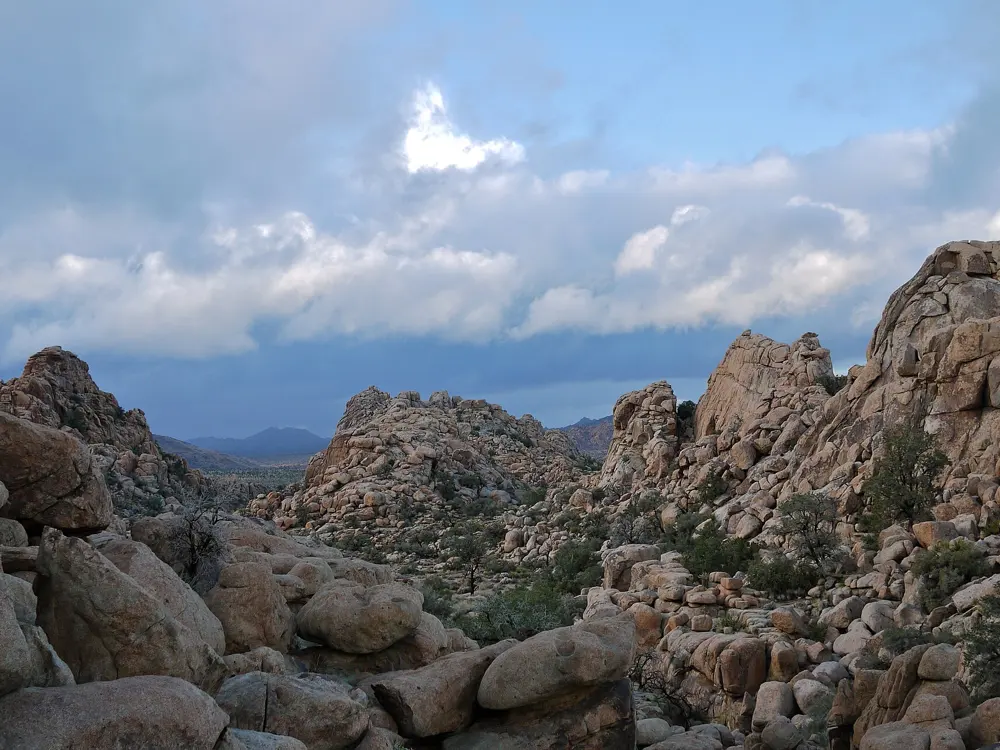
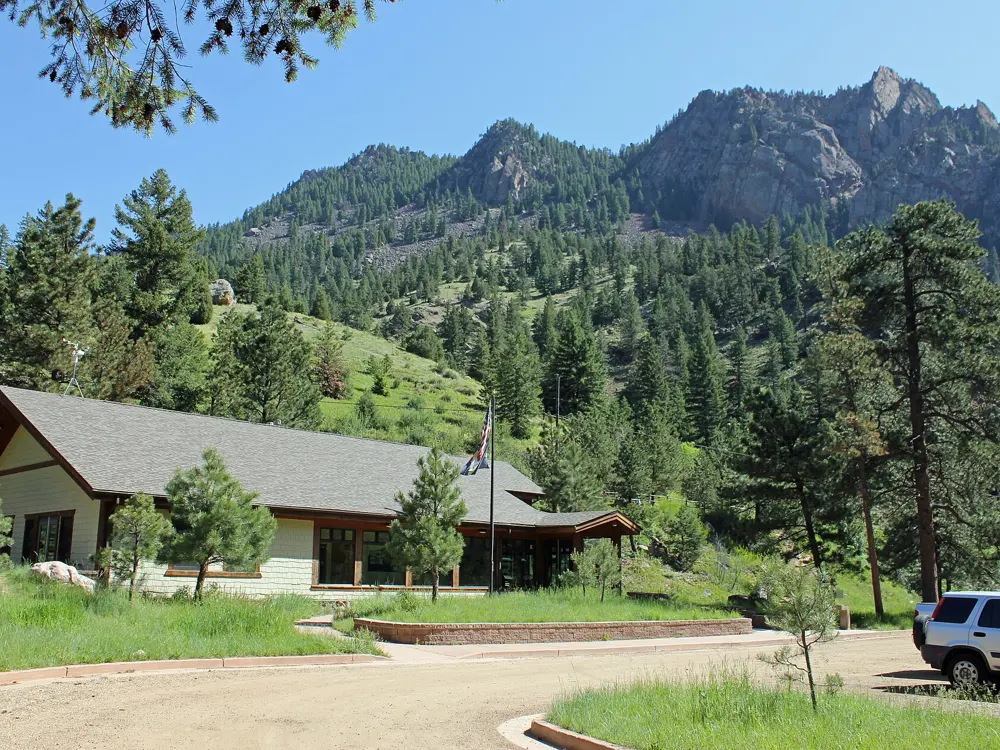
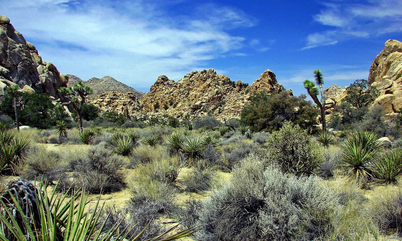
Hidden Valley in Joshua Tree National Park, with granite domes, yuccas and Joshua trees under a blue sky

Photos: Don Graham from Redlands, CA, USA - God bless it! (CC BY-SA 2.0), Daniel Mayer (mav) (CC BY-SA 3.0), cjuneau (CC BY 2.0), Joseph from Cabin On The Road, USA (CC BY-SA 2.0)

Rock
High desert monzogranite
Style
Trad cracks, slab, steep face and bouldering
Routes
More than 8,000 routes and 2,000 boulder problems
Best season
October to April

Why go

Joshua Tree National Park counts more than 8,000 climbing routes, 2,000 boulder problems and hundreds of natural gaps in its high desert monzogranite, and the park says it is known for traditional crack, slab and steep face climbing. Mountain Project lists 8,117 climbs, 1,714 of them boulder problems. The best rock carries a dark coat of desert varnish, which makes the surface firmer, and the formations are scattered across open desert between Joshua trees.

The route

Mountain Project's classics begin with SW Corner (5.6), Mental Physics (5.7, two pitches), Double Cross (5.7+) and Sail Away (5.8-). Dappled Mare is a four pitch 5.8. In the 5.9 and 5.10 range come Pope's Crack, Touch and Go, Bird of Fire, Exorcist, Illusion Dweller (5.10b) and Rubicon (5.10c). Heart of Darkness (5.11a) and Coarse and Buggy (5.11a/b) are the harder classics. Among the boulder problems, Gunsmoke (V3) tops the list.

When to go

Mountain Project says the season, in most people's minds, runs from October to April, and that the very best months are October and March.

Getting there

The park is about 140 miles east of Los Angeles, and the nearest airport is Palm Springs. Drive in on Interstate 10 or Highway 62, the Twentynine Palms Highway. The West Entrance is five miles south of the junction of Highway 62 and Park Boulevard at Joshua Tree village, the North Entrance is in Twentynine Palms and the South Entrance is on Interstate 10, 25 miles east of Indio. Public transport is limited to Morongo Basin Transit Authority buses, and the park says not to rely on GPS directions. A private vehicle pass costs $30 and is valid for seven days.

Permits and booking

Climbing needs no permit, but placing, replacing or removing a fixed anchor needs one in all circumstances, and the park can remove bolts in prohibited zones without notice. Guides need a park permit and certification from PCGI, AMGA or a similar body. Each spring the park closes particular cliffs and boulders around nesting raptors until the nest is abandoned; in 2015, for example, it closed Patagonia Pile, The Head, Labor Dome and several bouldering areas near Hidden Valley Campground for a pair of prairie falcons.

How hard it is

Most of the climbing is traditional, so you place your own gear in cracks or climb slabs and faces with few bolts. The park does not inspect, maintain or repair bolts anywhere, so judge fixed gear for yourself. The popular routes are on solid rock, but Mountain Project warns that less travelled and newer routes can have loose holds and grains that roll underfoot like ball bearings.

Where to sleep

Hidden Valley Campground, among the climbing areas, has 44 sites at $25 a night, first come, first served and open all year, with pit toilets and no water. Pay within an hour of setting up. Jumbo Rocks ($30) and Indian Cove ($35) are booked on Recreation.gov, and Black Rock and Cottonwood ($35) have water and flush toilets.

Tips

  • Bring all your water to Hidden Valley, White Tank and Indian Cove, which have none.
  • Look for posted raptor closures in spring before you walk to a formation.
03 / 10

Red Rock Canyon

Nevada

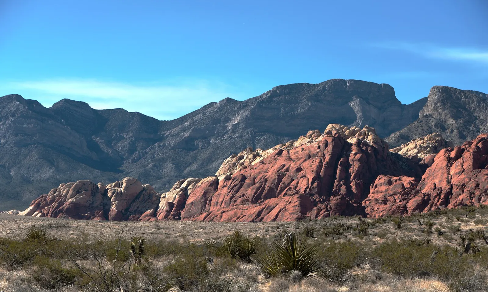
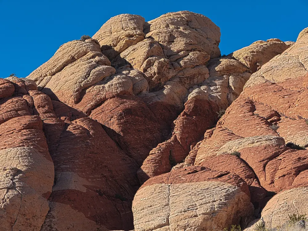
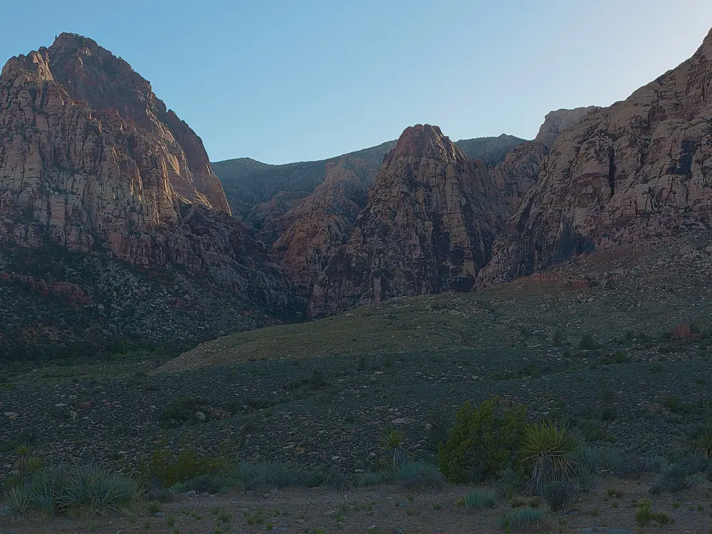
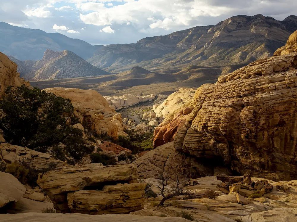
The red and cream Calico Hills below the grey escarpment at Red Rock Canyon

Photos: Sixflashphoto (CC BY-SA 4.0), Sixflashphoto (CC BY-SA 4.0), Sixflashphoto (CC BY-SA 4.0), BLM Nevada (Public domain)

Rock
Aztec sandstone
Style
Long multi-pitch trad, sport and bouldering
Routes
2,970 on Mountain Project
Busy season
September to April

Why go

Red Rock Canyon National Conservation Area lies 17 miles west of the Las Vegas Strip, and its walls rise up to 3,000 feet. The rock is Aztec sandstone, a fairly solid variety with a hard surface varnish. Mountain Project lists 2,970 climbs, from short sport routes in the Calico Hills to routes of ten pitches and more in the canyons of the main escarpment.

The route

Crimson Chrysalis, on Cloud Tower, is nine pitches of 5.8+. Solar Slab is nine pitches of 5.6, Epinephrine in Black Velvet Canyon is 16 pitches of 5.9, and Levitation 29 is ten pitches of 5.11b/c. Black Velvet Canyon also has the crack Triassic Sands (5.10), and the Rainbow Wall, the area's big wall, has the Original Route (5.12). The Calico Hills near the start of the Scenic Drive are known for beginner climbing, including the Pantry Wall and The Great Red Book.

When to go

You can climb all year, and the busy season runs from September to April. Many climbers prefer spring and autumn.

Getting there

Take Charleston Boulevard, State Route 159, west from Las Vegas. The Scenic Drive opens at 6 a.m. every day and closes at 5 p.m. from November to February, at 7 p.m. in March and October and at 8 p.m. from April to September. From 1 October to 31 May, entry between 8 a.m. and 5 p.m. needs a timed entry reservation on Recreation.gov. When fees last rose, in January 2023, a passenger vehicle paid $20.

Permits and booking

Overnight on a wall needs a bivy permit, which covers on route or summit bivies only: one night on Mount Wilson, the Levitation Wall and Bridge Mountain, one or two on the Rainbow Wall and up to three on the Buffalo Wall. It does not allow camping in the canyons. If a long route will keep you out after the Scenic Drive closes, get a free late exit pass on Recreation.gov (50 cents processing), or your car can be cited and towed. Bolting on the main escarpment, a wilderness area, is illegal; in Calico 1 and 2 it is allowed after consulting the climbing staff. Climbing on or within 50 feet of cultural sites is prohibited. Guided climbing needs a BLM permit.
How hard it is

Wet sandstone is fragile. The BLM suggests waiting 24 to 48 hours after major rain or snow, and Mountain Project asks climbers not to climb if the ground near the route is at all damp, because holds break off and routes are damaged for good. The long routes have real approaches: for Crimson Chrysalis you walk from the Pine Creek trailhead, cross Juniper Canyon and climb a bushy ramp to the base.

Where to sleep

Red Rock Campground, 2 miles east of the visitor center, is usually open from Labor Day to Memorial Day and closed in summer. Standard sites cost $25 a night and walk to sites $12. Otherwise stay in Las Vegas.

Tips

  • Wait a day or two after rain, even if the rock looks dry.
  • Carry a printed or downloaded timed entry ticket, as cell service is limited.
04 / 10

Indian Creek

Bears Ears National Monument, Utah

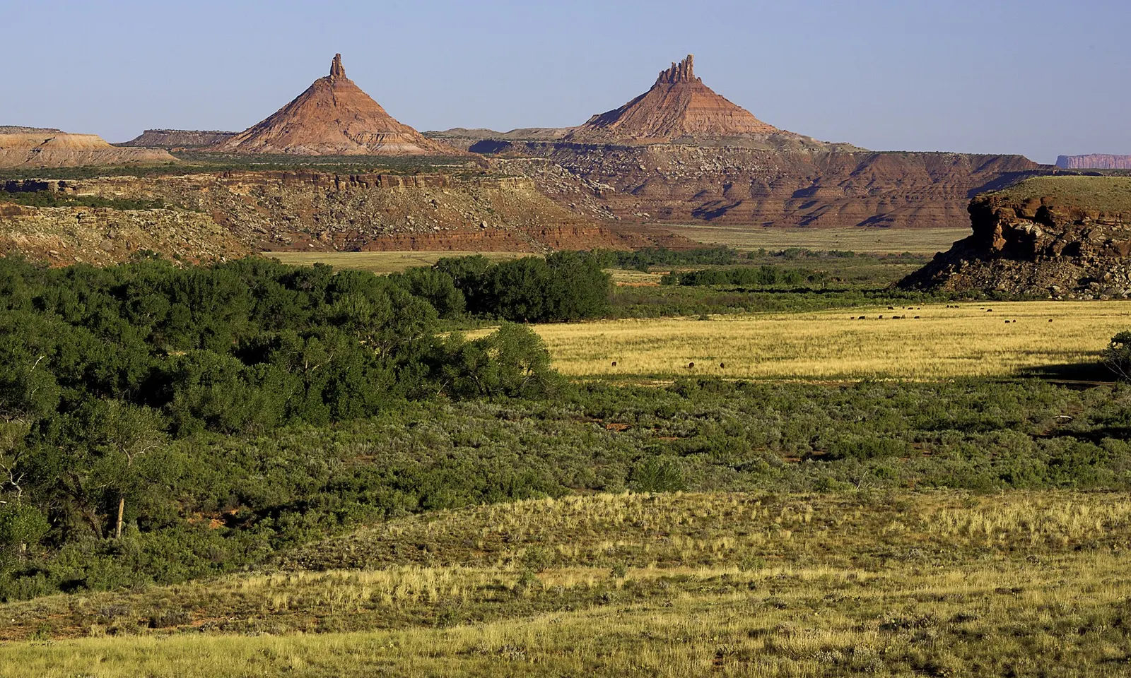
Green Indian Creek valley below two sandstone towers in Bears Ears National Monument

Photos: US Bureau of Land Management (Public domain), Jonathan Fox (CC BY-SA 2.0), jfdervin (CC BY-SA 2.0), jfdervin (CC BY-SA 2.0)

Rock
Wingate sandstone
Style
Crack climbing, almost all trad
Routes
1,723 on Mountain Project
Best season
Autumn, then spring

Why go

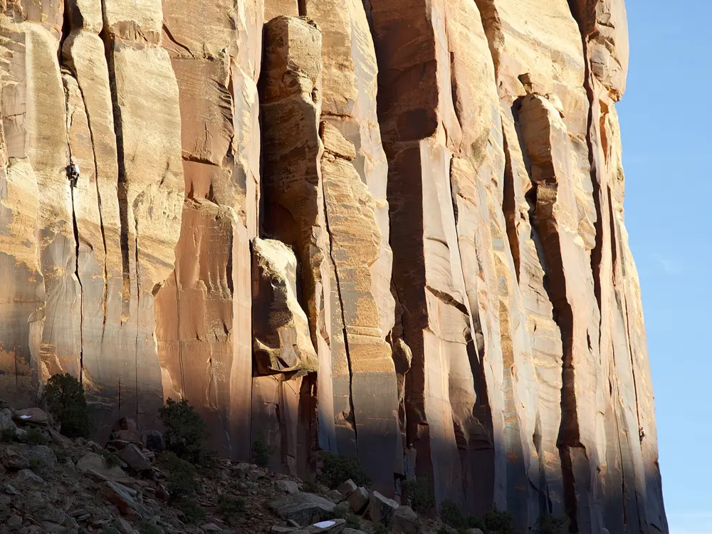
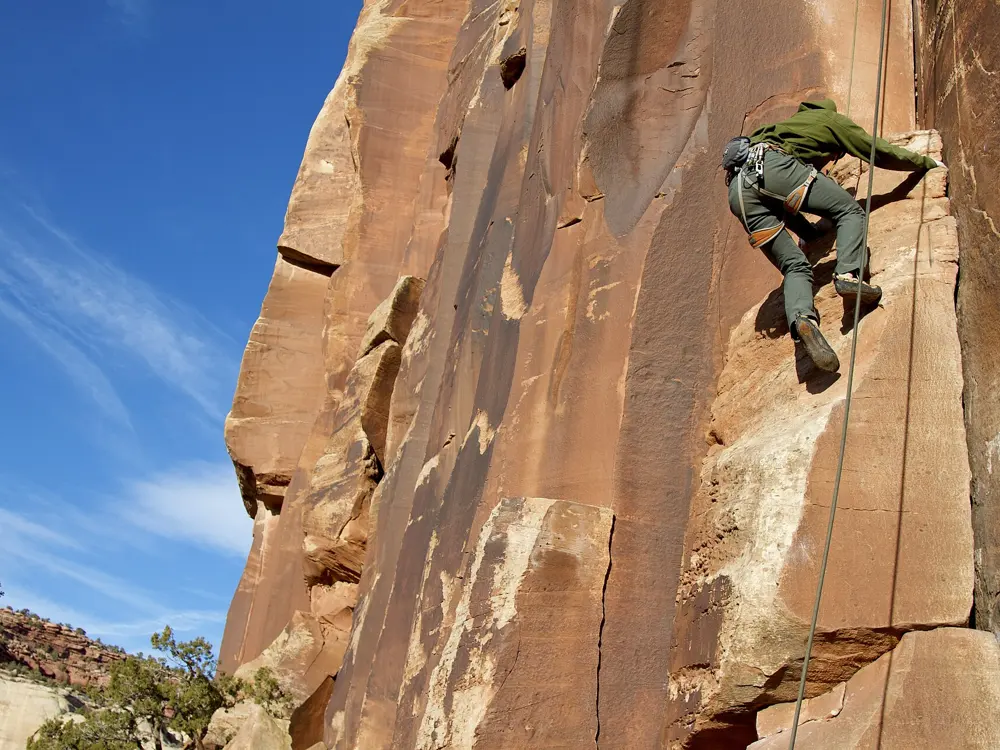
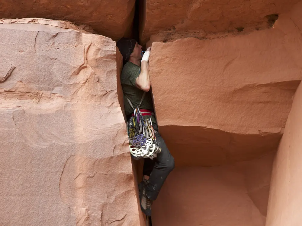
Indian Creek, in Bears Ears National Monument in southeast Utah, is known for one thing above all: cracks in walls of Wingate sandstone. The BLM says the canyon has thousands of crack climbs and very few beginner routes, and Mountain Project lists 1,723 climbs. Supercrack of the Desert made the place famous. Earl Wiggins, Ed Webster and Bryan Becker first climbed it in November 1976, before cams existed, protecting it with hexes and nuts.

The route

Supercrack of the Desert (5.10), first called Luxury Liner, starts up a detached flake through an awkward crux, then follows a sustained 5.9 crack for about 80 feet, past a roof to a bolted anchor. The Incredible Hand Crack is another 5.10 classic. Generic Crack in Donnelly Canyon is two pitches and 250 feet of 5.10-, with a 120 foot first pitch, and Mountain Project's rack for it lists nine cams of one size.

When to go

Autumn is the favourite and October is generally ideal, according to a Blister trip guide: chase the shade early in the season and the sunny south facing walls later. Spring is almost as good and less crowded. Raptor avoidance areas apply from March.

Getting there

Indian Creek is along Highway 211, which the BLM puts about 15 miles north of Monticello and 40 miles south of Moab. From Moab, take US 191 south toward Monticello and turn west on SH 211. There is no cell service in the canyon.

Permits and booking

No permit is needed to climb. Golden eagles and peregrine falcons nest on the cliffs, and from March through late summer the BLM asks climbers to avoid walls with active nests until the young have fledged. The areas change every year, so check the BLM raptor protection map; Mountain Project noted that the 2026 avoidance period began on 1 March and included Echos, The Wall and Cat Wall. Wait 24 to 48 hours after rain. Pack out human waste, because desert soil cannot break it down. Stay off the cryptobiotic soil, which can take decades to regrow, and leave archaeological sites untouched.

How hard it is

This is a place to learn or test crack technique, not to start climbing. The classics are 5.10 and harder, the protection is your own gear, and a route can need many cams of one size. Climbers tape their hands or wear tape gloves for jamming.

Where to sleep

The BLM runs three first come, first served campgrounds, Hamburger Rock, Superbowl and Creek Pasture, at $15 a night with a 14 day limit, paid through the Recreation.gov app. Superbowl has 37 sites and Creek Pasture 32, each for up to 10 people and two vehicles, with vault toilets and no drinking water. Dispersed camping is allowed within 150 feet of designated routes on previously disturbed ground, at least 300 feet from water.

Tips

  • Bring all your water and firewood.
  • Do not park on the crust beside full lots.
05 / 10

Smith Rock State Park

Oregon

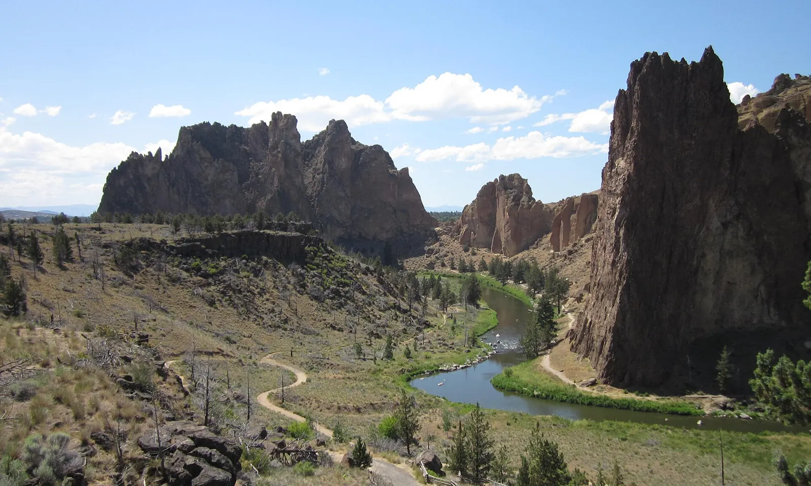
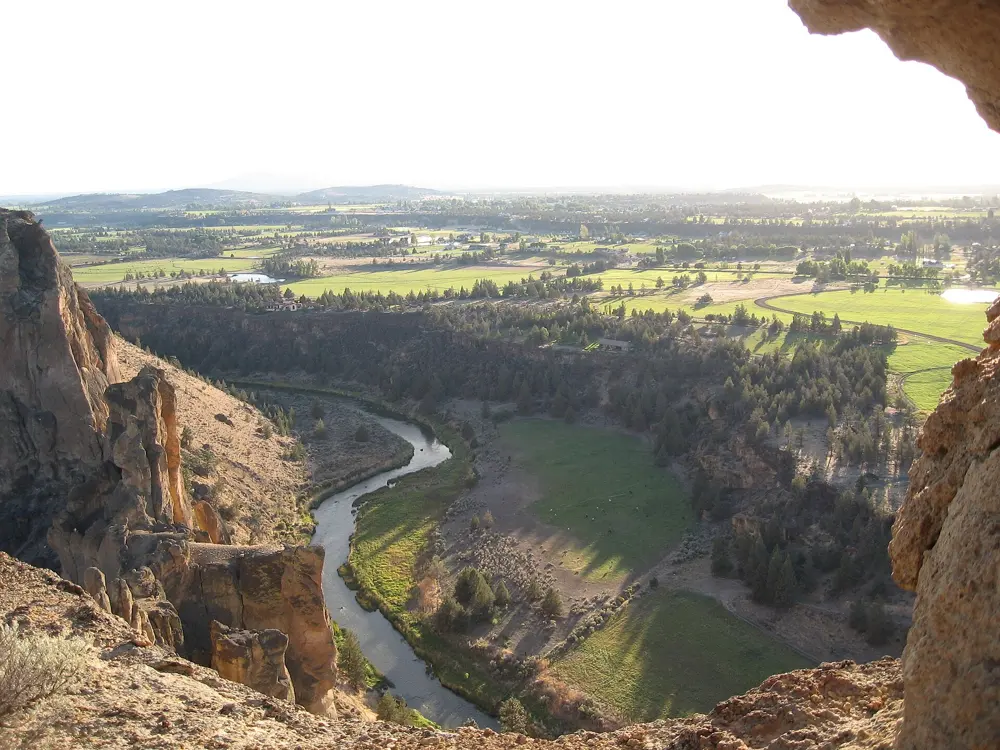
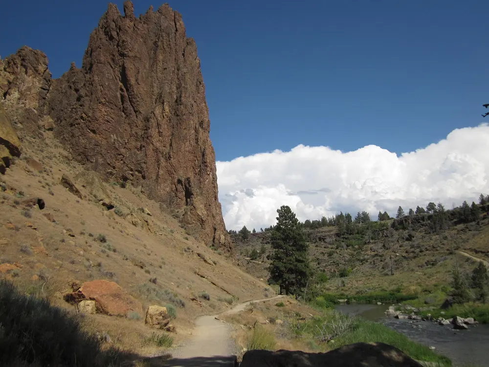
Smith Rock's tuff spires above the curving Crooked River in central Oregon

Photos: Dougtone (CC BY-SA 2.0), Joe Peacock (CC BY-SA 4.0), Laura Alier (CC BY 4.0), Dougtone (CC BY-SA 2.0)

Rock
Welded tuff, with columnar basalt
Style
Sport, plus trad and multi-pitch
Routes
1,501 on Mountain Project
Best season
Spring and autumn

Why go

Smith Rock is one of the places where American sport climbing began. In 1983 Alan Watts established Chain Reaction (5.12c), one of the first sport routes in the country, and in November 1986 the French climber Jean-Baptiste Tribout made the first ascent of To Bolt or Not to Be, bolted by Watts, the first 5.14a in the United States. The cliffs are welded tuff above the Crooked River, with bands of columnar basalt, and the state park says it has several thousand climbs, more than a thousand of them bolted.

The route

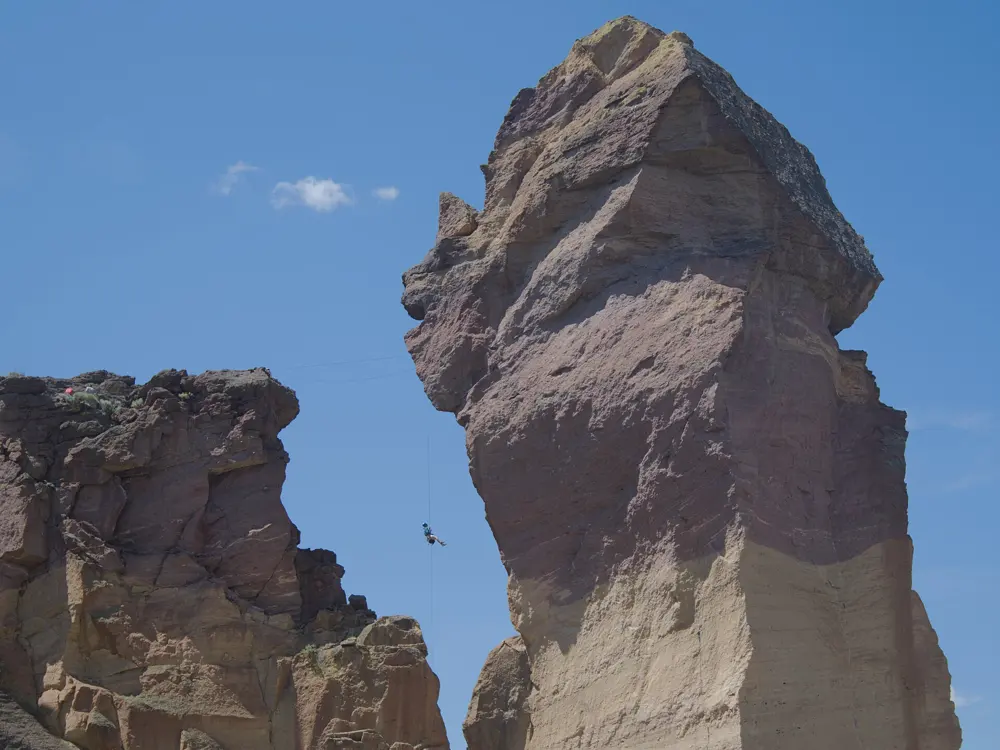
Mountain Project's classics include Spiderman (5.7), Voyage of the Cowdog (5.8+), Moonshine Dihedral (5.9), Zion (5.10a/b), Nine Gallon Buckets (5.10c), Toxic (5.11b) and Heinous Cling Start (5.12a). The Dihedrals and Morning Glory Wall hold dozens of sport routes each. On the back side, Monkey Face, a free standing spire of about 350 feet, is climbed by the Pioneer Route (5.7 A0), first climbed in 1960: a bolt ladder leads to the cave of the monkey's mouth, then you step out of the cave on Panic Point (5.7).

When to go

Mountain Project says the best times are spring and autumn. Summers can pass 100 degrees F, and winter brings dry days near freezing.

Getting there

The park covers more than 650 acres at about 3,000 feet in central Oregon's high desert, near the towns of Redmond and Terrebonne. The trailhead is about 10 minutes from Redmond by car.

Permits and booking

Every vehicle needs a day use parking permit, $10 for Oregon residents and $12.50 for others, sold at the park. From about 15 January to 1 August some climbing areas close or have limited access to protect golden eagle and falcon nests; the closures usually affect lesser used areas and are posted at park kiosks and at the sites. Dogs are allowed on a leash. Park staff do not give route advice or refer guides.

How hard it is

Most visitors come for the bolted face climbing, which runs from 5.7 classics to 5.14, and trad climbers have plenty too. Monkey Face is a serious outing despite its moderate grade, with aid on the bolt ladder and an exposed move out of the cave.

Where to sleep

The Bivy campground in the park is walk-in tent camping, first come, first served, at $12 per person per night ($15 for non-Oregon residents). It is open from early spring to late fall as weather allows, and showers are for campers only. RVs, sleeping in vehicles and open fires are not allowed.

Tips

  • Check the kiosks for raptor closures before you walk to a crag.
  • Buy the parking permit before you leave the car.
06 / 10

Eldorado Canyon

Boulder, Colorado

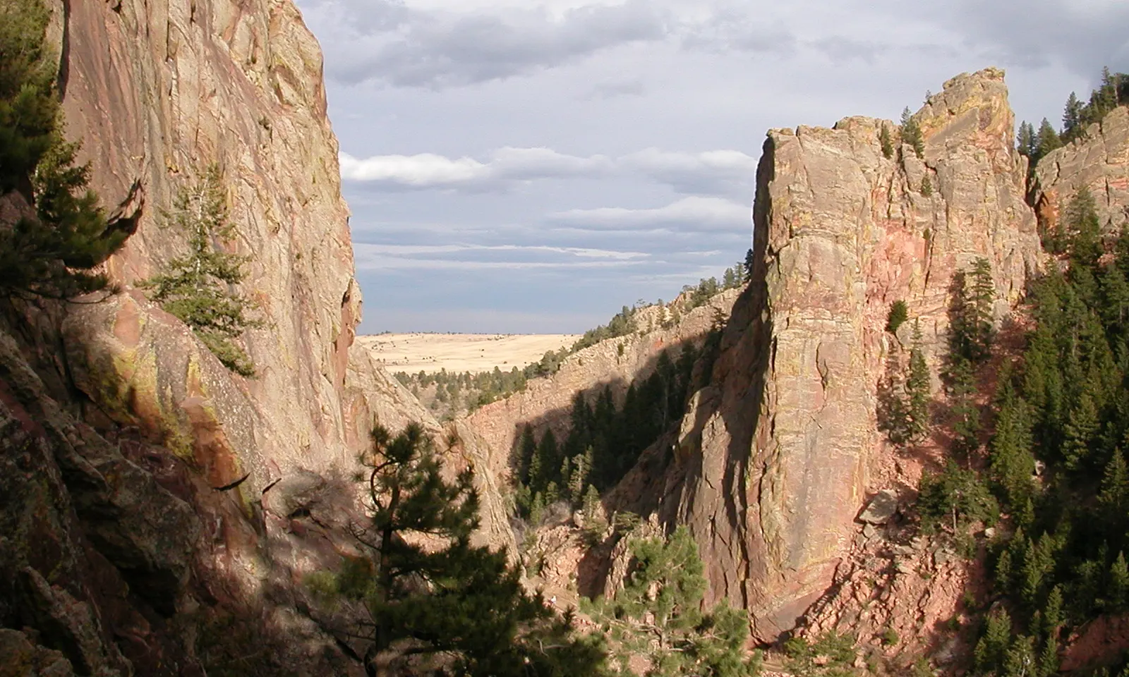
The sandstone walls of Eldorado Canyon framing the plains beyond

Photos: OMCV (Public domain), Eagletusk (CC BY-SA 4.0), Jeffrey Beall (CC BY-SA 3.0), Jeffrey Beall (CC BY 3.0)

Rock
Fountain and Lyons sandstone
Style
Multi-pitch trad, delicate face climbing
Routes
1,301 on Mountain Project
Walls
Up to 700 feet

Why go

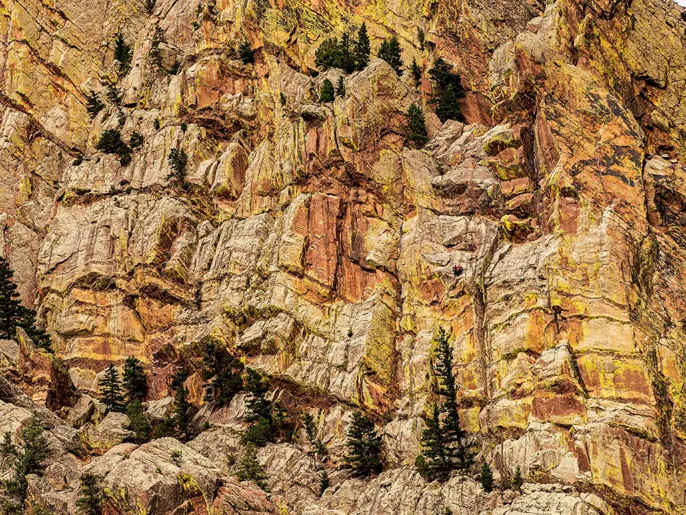
Eldorado Canyon State Park, about six miles south of Boulder and thirty miles from Denver, has steep walls of conglomerate sandstone up to 700 feet high, and Mountain Project calls it one of the world's finest and most famous climbing areas. The rock is Fountain and Lyons sandstone, tilted on end, and Mountain Project compares its quality to granite rather than the soft sandstone of Utah. Of its 1,301 listed climbs, about seven in ten are trad, and Redgarden Wall alone has 345 routes.

The route

The Bastille Crack (5.7) is five pitches and 350 feet, and the most popular route on the Bastille. Rewritten (5.7) and Ruper (5.8+) are six pitch classics on Redgarden Wall, and the Yellow Spur (5.9+, six pitches) is the route many climbers call the best in the canyon. The Naked Edge (5.11b, six pitches) is the hardest route on Mountain Project's list of Eldorado classics.

When to go

You can climb here at any time of year, though Mountain Project says summer is very hot and the rock slick, and winter is inconsistent. From 1 May to 1 October, weekends and summer holidays need a timed entry reservation.

Getting there

Drive south from Boulder. On Saturdays, Sundays and holidays from Memorial Day to Labor Day, Boulder County's Eldo Shuttle runs from Boulder about every 20 minutes from 8 a.m. to 7 p.m.; it needs no reservation, but riders 16 and older without a state parks pass pay $4.

Permits and booking

A daily vehicle pass costs $10 for Colorado plates and $15 to $17 for out of state plates. Timed entry reservations are needed for the inner canyon on Saturdays, Sundays and summer holidays from 1 May to 1 October; they are free but you still need a park pass. Some routes close each season to protect raptor nests. Replacing fixed hardware, even like for like, needs a permit from park headquarters. The park is open from sunrise to sunset.

How hard it is

Most of the climbing is traditional and delicate face climbing, with relatively few cracks. Old fixed pitons are common, and Mountain Project advises backing up pins wherever you can; it warns that the pins at the cruxes of Tagger and the Naked Edge will not hold many more long falls.

Where to sleep

The park is day use only, and camping is not allowed. Staff can point you to campgrounds within an hour's drive, such as Golden Gate Canyon State Park, reached by Coal Creek Canyon south of Boulder, or Kelly Dahl near Nederland.

Tips

  • Book the timed entry before a summer weekend, or take the shuttle.
  • Carry slings to back up old pins.
07 / 10

Hueco Tanks

El Paso, Texas

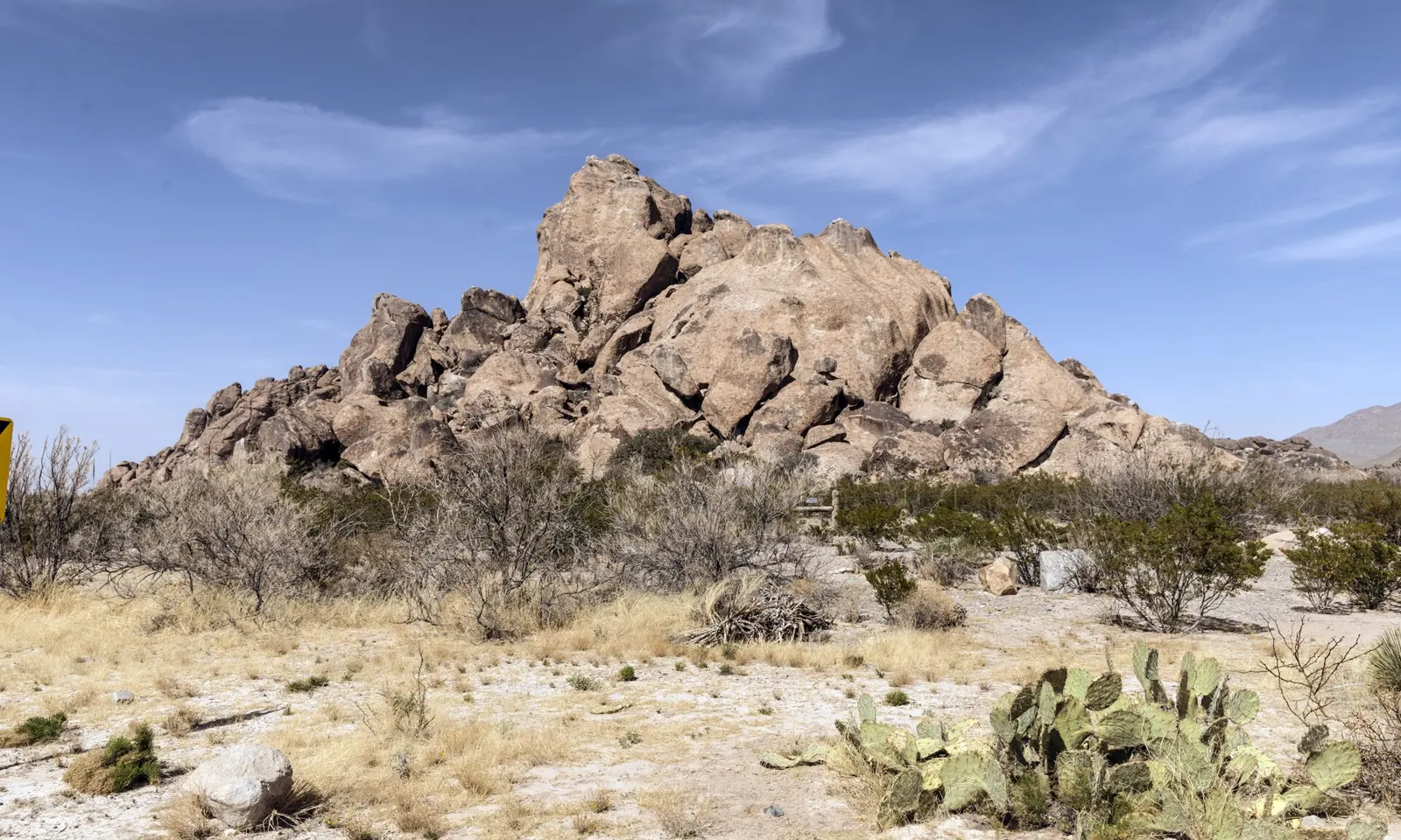
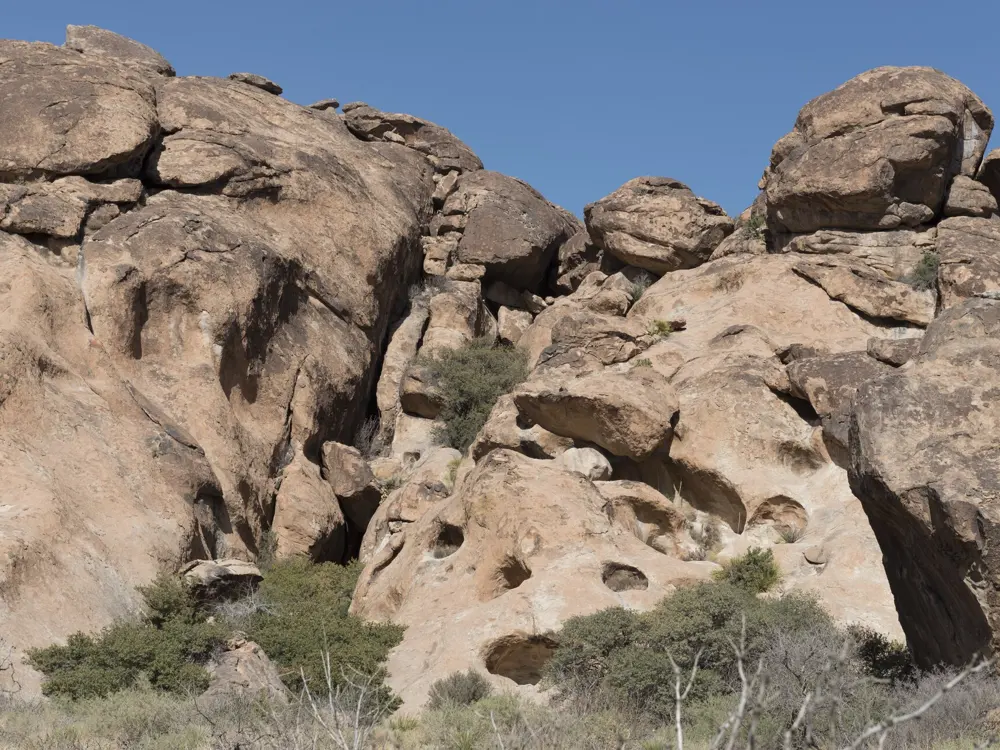
Syenite rock formations of Hueco Tanks rising above desert scrub and prickly pear

Photos: Carol M. Highsmith (Public domain), Dana Le (CC BY 2.0), Carol M. Highsmith (Public domain), Carol M. Highsmith (Public domain)

Rock
Syenite
Style
Bouldering
Problems
Almost 1,700 in the full park guide
Busy season
November to March

Why go

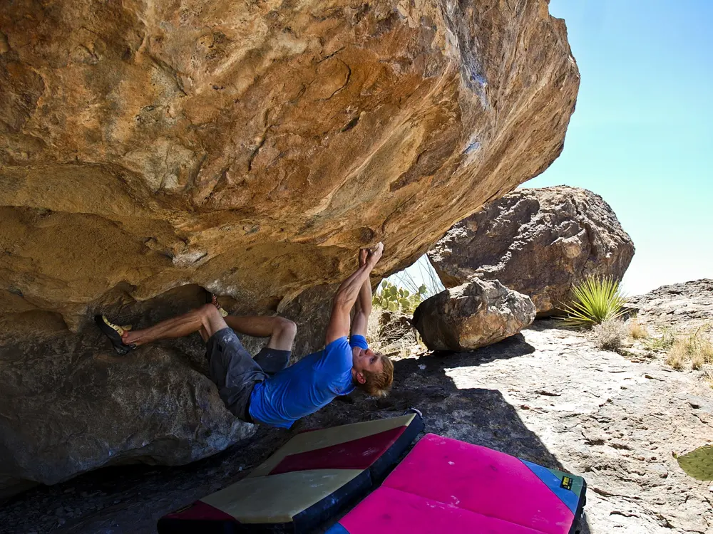
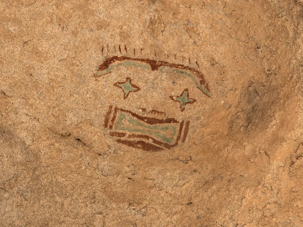
Hueco Tanks State Park and Historic Site, about 32 miles northeast of central El Paso, is called the birthplace of modern bouldering by Texas Parks and Wildlife's magazine, the first US climbing destination focused mainly on bouldering. The V scale for boulder problems began here: John Sherman codified it for his Hueco Tanks guidebook, published in 1991. The rock is syenite, full of the huecos, the hollows that once held rainwater and give the park its name, and its walls carry painted images from at least three cultures over more than 1,500 years.

The route

Matt Wilder's guide to the whole park documents almost 1,700 problems from V0- to V14, and his newer North Mountain volume with Jason Kehl covers 850 problems in the self guided area. Fred Nicole's Esperanza and Alma Blanca, both V14 and both from 2001, are among the most famous hard problems. The Hueco Rock Rodeo, an outdoor bouldering competition, is held in February.

When to go

Winter is the busy season. The self guided area's 70 person limit is reached regularly from November through March and on weekends and holidays, so book ahead for those days.

Getting there

The park is at 6900 Hueco Tanks Road No. 1, El Paso. Entry costs $7, free for children 12 and under. Arrive in office hours to check in.

Permits and booking

Access is limited to protect the rock art and the rock. Only 70 people at a time may be in the self guided North Mountain area. Reserve a day by phone on (512) 389-8911, up to three months ahead; permits cannot be booked online, each person needs a Reserve America account and you can book for up to four. Everyone must watch the orientation video, once a year for return visitors, and register daily at headquarters. West Mountain, East Mountain and East Spur are open only on guided tours, Wednesday to Sunday if a guide is free, booked at least a week ahead on (915) 857-1135; park tours cost $5 for ages 13 and up. After 0.10 inches of rain or more, climbing and bouldering close for at least 24 hours.

How hard it is

The park provides no instruction or equipment, so bring shoes, crash pads, chalk, food and water. Do not touch the pictographs, since skin oil damages them. If you climb during a weather closure, staff will take your orientation card and ask you to leave.

Where to sleep

The park has 20 campsites with restrooms, hot showers and a dump station, reserved on (512) 389-8911 for up to three days, with no more than six people per site. Charcoal and firewood are not allowed, because ash damages the rock images, and you need a guide to explore the rocks around the campground.

Tips

  • Book North Mountain permits as soon as you know your winter dates.
  • Check the closure list and weather policy before driving out after rain.
08 / 10

Red River Gorge

Kentucky

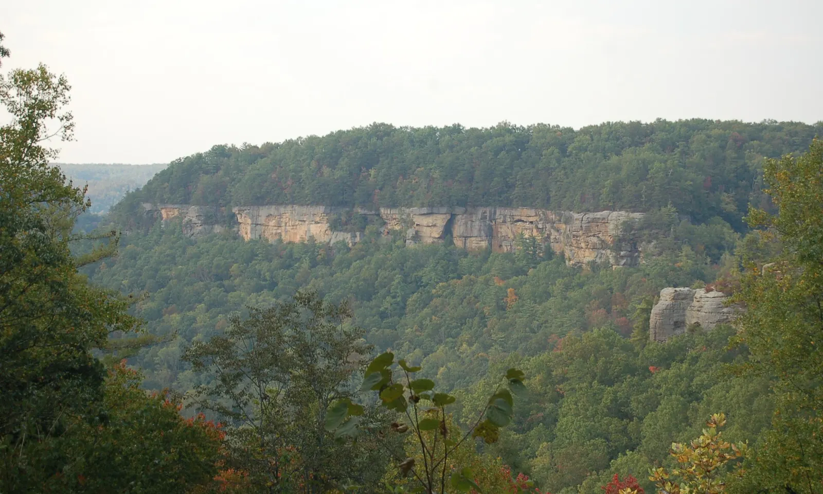
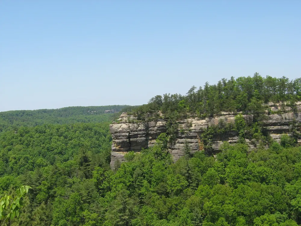
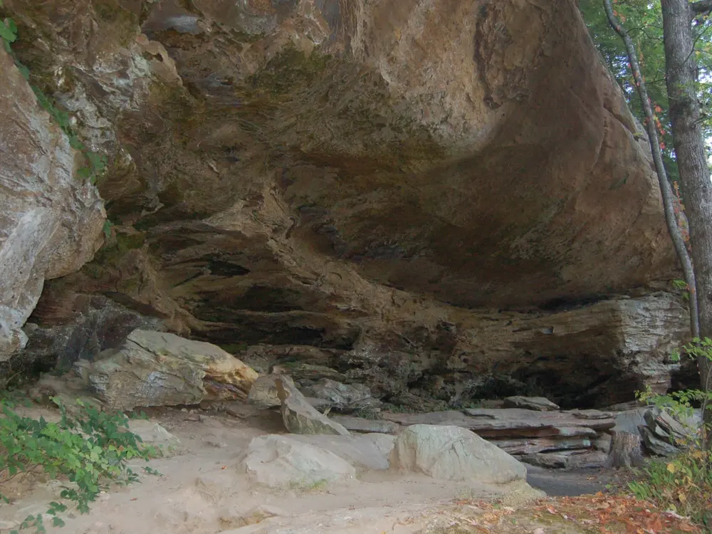
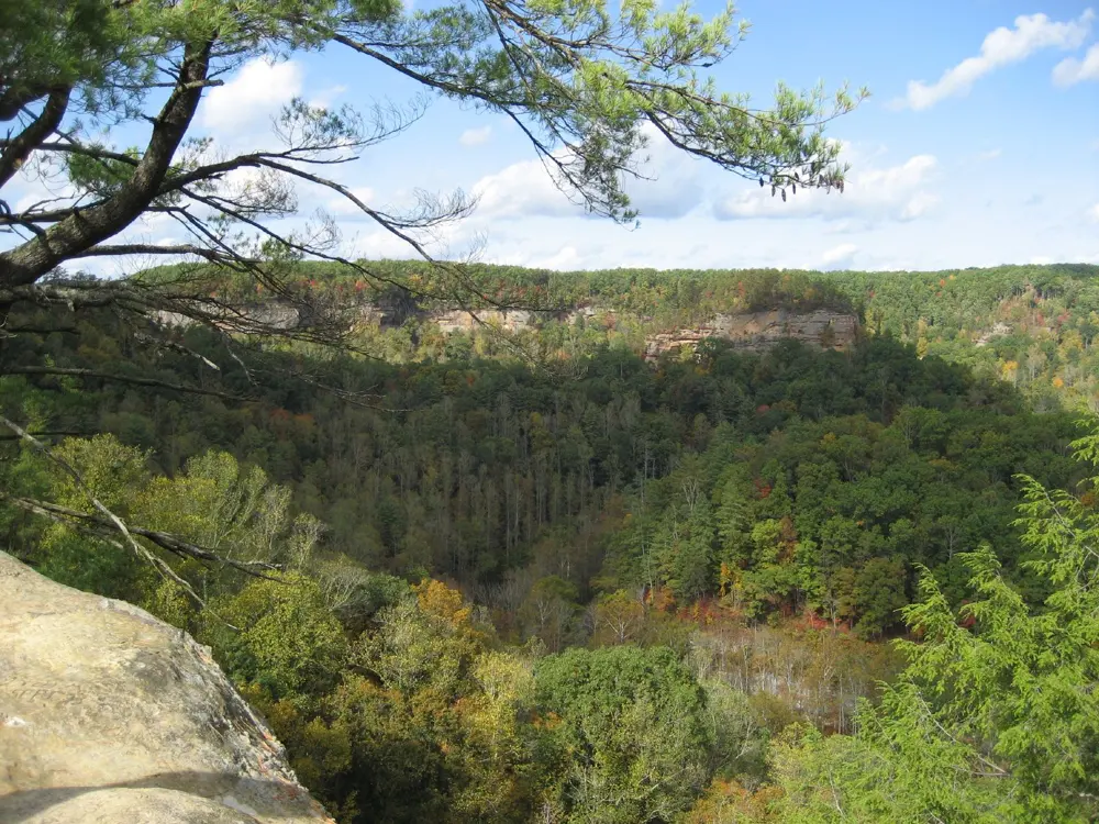
A sandstone cliff band above forested hills, seen from the Geological Overlook in the Red River Gorge

Photos: A. E. Crane, U.S. Department of Transportation (Public domain), Mrherbalwarrior at English Wikipedia (CC BY 3.0), A. E. Crane, U.S. Department of Transportation (Public domain), jdeeringdavis from San Francisco, CA, USA (CC BY 2.0)

Rock
Corbin sandstone
Style
Steep, overhanging sport, plus trad
Routes
4,050 on Mountain Project
Best season
Spring and autumn

Why go

The Red River Gorge in eastern Kentucky is known above all for steep, overhanging bolted sport climbs, with many trad lines as well, on the Corbin sandstone cliffs that line its valleys. Mountain Project lists 4,050 climbs. The Red River Gorge Geological Area of the Daniel Boone National Forest covers about 29,000 acres and is a National Natural Landmark with more than 40 natural sandstone arches. Much of the climbing is on private land kept open for climbers: the preserves of the Red River Gorge Climbers' Coalition, and Muir Valley, a 360 acre valley walled in by more than seven miles of cliffs with over 400 trad and sport climbs.

The route

Mountain Project's classics start with Eureka (5.6, sport) and Roadside Attraction (5.7, trad). Rock Wars (5.10a) is a trad classic, A Brief History of Climb (5.10b) and Air Ride Equipped (5.11a) are popular sport routes, and Banshee (5.11c), Ro Shampo (5.12a) and Super Best Friends (5.12a/b) are steeper.

When to go

Spring and autumn are the prime seasons. Summer is hot and humid, and winter is quiet but sometimes brings warm, sunny days.

Getting there

Lexington's airport is about an hour's drive away. From I-64 near Lexington, the drive to Miguel's Pizza is about 50 miles.

Permits and booking

In the national forest, climbing is allowed, but new routes need Forest Service approval, and climbing and rappelling are banned within 300 feet of Sky Bridge, Gray's Arch, Nada Tunnel, Chimney Rock Overlook and other posted areas. Permadraws are not allowed in the Northern Gorge. Parking overnight in the forest needs a pass, $3 a night according to the climbers' coalition, and camping is not allowed within 300 feet of a road or developed trail or within 100 feet of a cliff base. The coalition's preserves need a signed waiver, with dogs on a leash. Muir Valley needs a waiver and a $15 daily parking fee per vehicle, and dogs are not permitted. Graining Fork, the Roadside Crag, needs a permit with limited availability.

How hard it is

The sport climbing is steep and strenuous, on overhanging walls; Mountain Project's classics run from 5.6 to 5.12a/b. The Daniel Boone National Forest has a population of black bears, so store food well when you camp.

Where to sleep

Miguel's Pizza charges $3 a night to camp and has rooms at $40 and cabins. Lago Linda Hideaway costs $6 a night with free showers, Land of the Arches $8, Bald Rock Cabins and Campground $10 and the Forest Service's Koomer Ridge $14.

Tips

  • Sign the waivers for Muir Valley and the coalition preserves before your first day.
  • Buy the overnight parking pass at a Forest Service office or a local shop in Slade before you camp in the forest.
09 / 10

New River Gorge

West Virginia

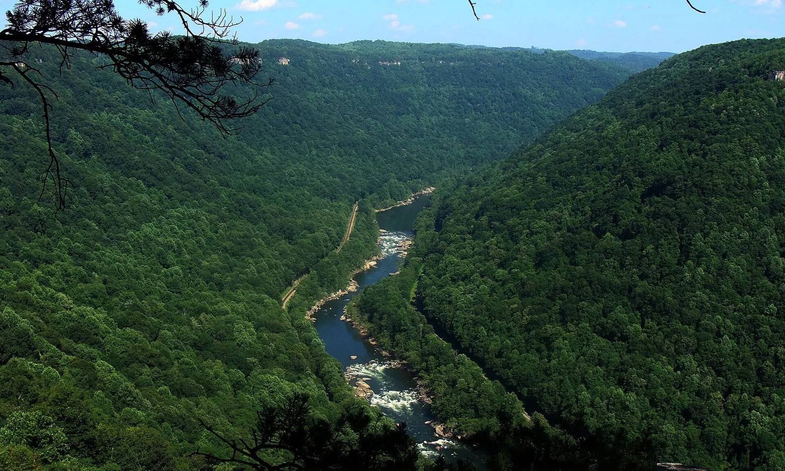
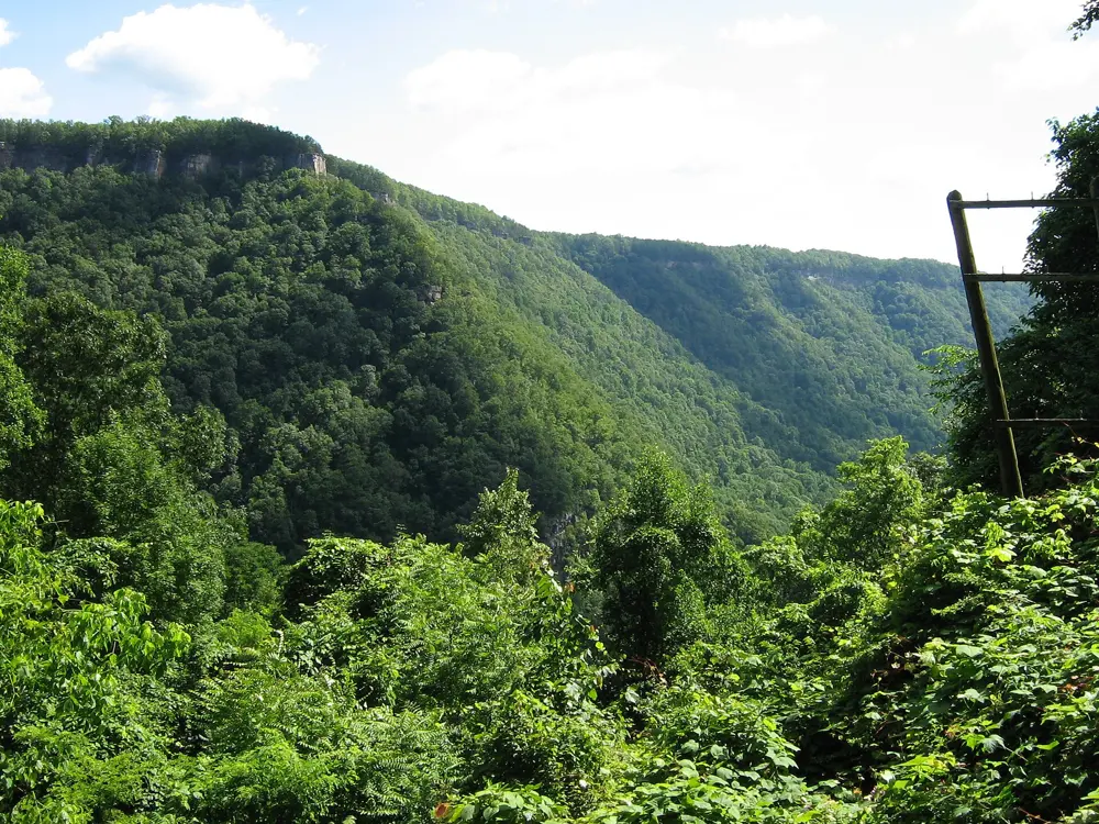
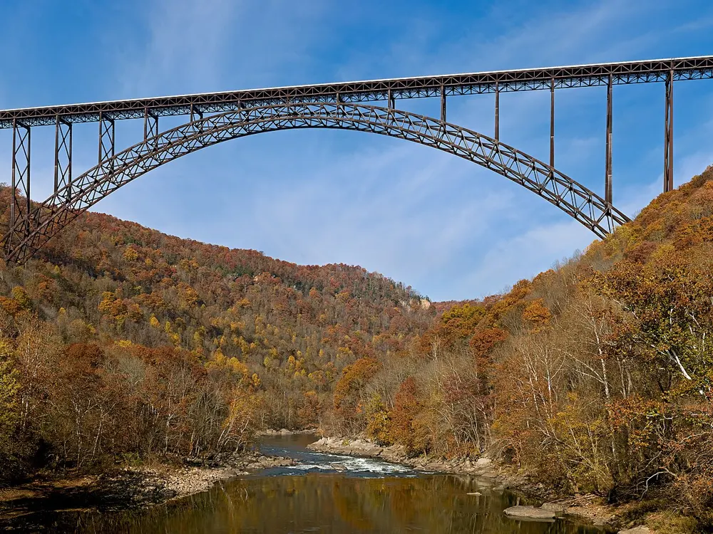
The New River winding through the forested gorge, seen from Diamond Point on the Endless Wall Trail

Photos: NPS photo/Dave Bieri (Public domain), NPS photo (Public domain), JaGa (CC BY-SA 4.0), NPS photo/Dave Bieri (Public domain)

Rock
Hard sandstone
Style
Single pitch trad and sport
Routes
More than 1,400
Best season
Late April to mid June, mid September to late October

Why go

New River Gorge became a national park and preserve on 27 December 2020, and it is one of the most popular rock climbing areas in the country, with more than 1,400 established climbs on hard sandstone cliffs 30 to 120 feet tall. Endless Wall, which Mountain Project calls the crown jewel of the New River crags, runs for about three miles of continuous cliff along the rim, with everything from 100 foot bolted moderates to classic gear lines and hard modern routes.

The route

On Endless Wall, Mountain Project's classics include Fantasy (5.8, two pitches, trad), Fool Effect (5.9, sport), Black and Tan (5.10a, trad), Strike A Scowl (5.10b, sport) and Legacy (5.11a, sport) at Snake Buttress. Proper Soul (5.14) is on Mountain Project's list of West Virginia classics. The Fern Point, Cirque and Honeymooner's ladder trails lead down to the base of the wall.

When to go

The park gives the best seasons as late April to mid June and mid September to late October.

Getting there

Canyon Rim Visitor Center is on US 19 just north of Fayetteville. Charleston, about 70 miles northwest, is the closest major airport, and there are flights to Beckley. Amtrak stops in the park three days a week, at Hinton and Prince, with Thurmond a flag stop for passengers with reservations.

Permits and booking

Climbing needs no permit, but using a motorized drill does. Pets must be on a leash. Primitive camping is allowed on park land, but not within 100 feet of parking areas, water sources, historic sites or the top rim of the cliffs. Within a quarter mile of a restroom, use it; farther out, pack out human waste or bury it 6 inches deep, at least 200 feet from trails, climbing routes and water.

How hard it is

Most routes are 5.9 or harder, and most sport routes fall between 5.10 and 5.12, so this is not a beginners' crag. Many climbing areas are miles from a road. In an emergency call 911.

Where to sleep

The American Alpine Club's New River Gorge Campground in Lansing is open from 27 March to 29 November 2026. Campsites cost $25 for members and $35 for non-members, communal sites $12 and $15 per person and van sites $18 and $22, plus tax. Reservations are required. Many private campgrounds sell showers.

Tips

  • Fill up with water at Canyon Rim Visitor Center.
  • On Bridge Day, the third Saturday of October, the bridge closes to traffic and people rappel from it.
10 / 10

The Gunks

Shawangunk Ridge, New York

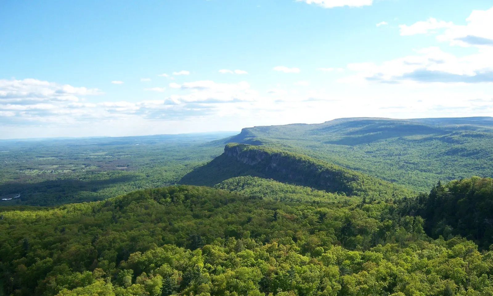
The Shawangunk Ridge and its cliffs above green forest, with the Catskills on the horizon

Photos: Jarek Tuszyński (CC BY-SA 3.0), Amalex5 (CC BY-SA 4.0), Jarek Tuszyński (CC BY-SA 3.0), User:Burtonpe (CC BY-SA 3.0)

Rock
Quartz conglomerate
Style
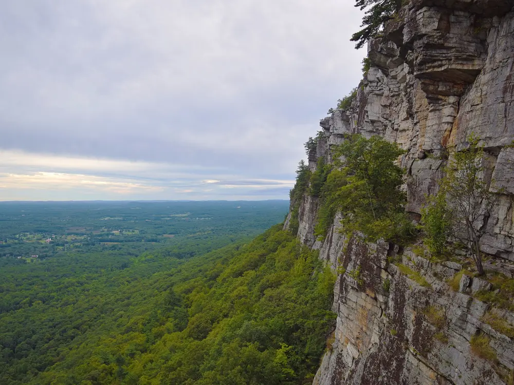
Trad: roofs, jugs and horizontal cracks
Routes
1,370 on Mountain Project
Best season
September and October

Why go

The Shawangunk Ridge near New Paltz, New York, has drawn climbers since the 1930s. Fritz Wiessner first climbed here in 1935, and in the 1940s he and Hans Kraus put up many of the classics. The rock is quartz conglomerate, solid and cut by horizontal rather than vertical cracks, so routes climb over roofs on big holds, protected by gear; there are a few bolts but no sport climbs. Most of the climbing is on the Mohonk Preserve, founded in 1963, which protects more than 8,000 acres and has more than 800 climbing routes and over 100,000 climbers a year.

The route

Mountain Project's classics include Gelsa (5.4), Horseman (5.5), High Exposure, The Ceiling and Madame Grunnebaum's Wulst (all 5.6), Limelight and Strictly From Nowhere (5.7), Cascading Crystal Kaleidoscope (5.8-), Arrow (5.8), Modern Times (5.8+), and Directissima and Bonnie's Roof (both 5.9).

When to go

September and October are the prime climbing season. Winter offers a few climbable days.

Getting there

The Mohonk Preserve Visitor Center is at 3197 Route 44/55, with a quarter mile trail of stone steps up to the cliffs, and the West Trapps Trailhead on Route 44 is the main access for climbing; it fills very early on peak weekends. Trailways buses run from New York's Port Authority to New Paltz, but most climbers drive.

Permits and booking

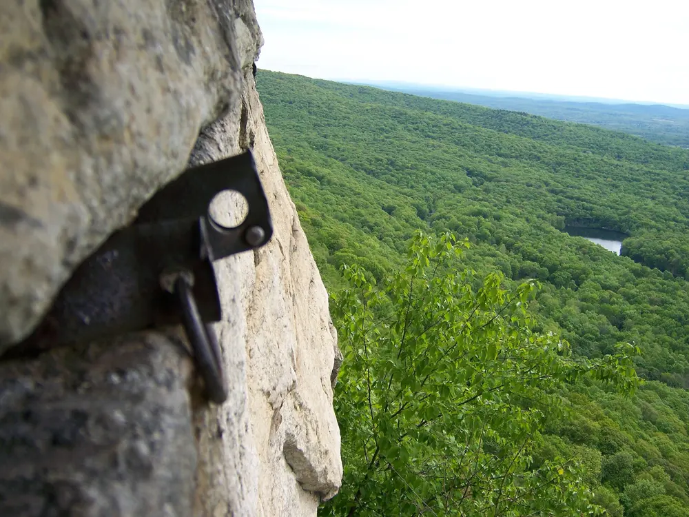
The Mohonk Preserve is private land, and climbing access is a privilege it can revoke. You need a day pass, $20 for climbing in the Preserve's 2024 figures, or an Annual Plus membership. No new bolts or pitons may be placed, except to replace those installed before November 1986, chipping holds is forbidden, and ropes must not be wrapped around trees. In the peregrine falcon breeding season, parts of the Trapps close, with signs at the cliff.

How hard it is

Everything is protected with your own gear, mostly in the horizontal cracks, and the steep moves come at the roofs. Grades start low, at 5.4 and 5.5, and the Preserve asks climbers to match their chalk to the colour of the rock.

Where to sleep

The American Alpine Club's Samuel F. Pryor III Shawangunk Gateway Campground, at 953 Route 299 in Gardiner, is open from 3 April to 15 November 2026. Tent sites cost $28 for members and $42 for non-members, and vehicle sites $20 and $24. Reservations are required.

Tips

  • Arrive early on summer and autumn weekends, when the West Trapps lot fills.
  • Respect the signed peregrine closures in spring and early summer.

Sources

Distances, heights, seasons and permit rules were checked against these pages. Rules change, so check the park or trail authority before you go.