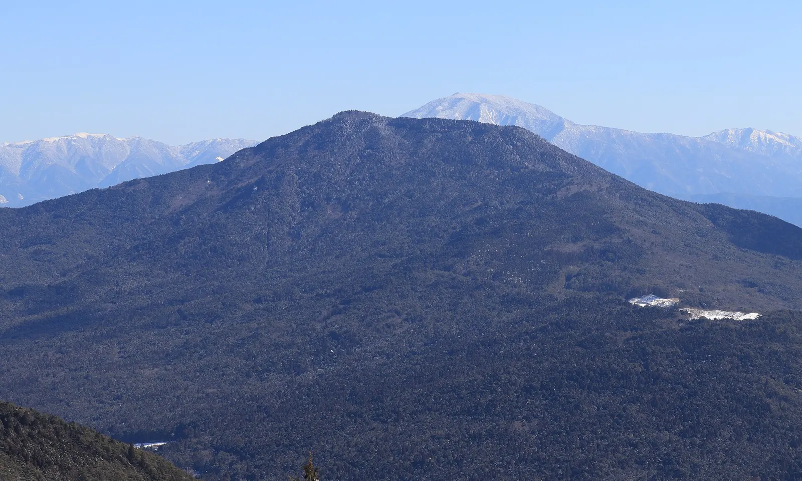
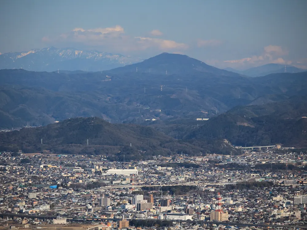
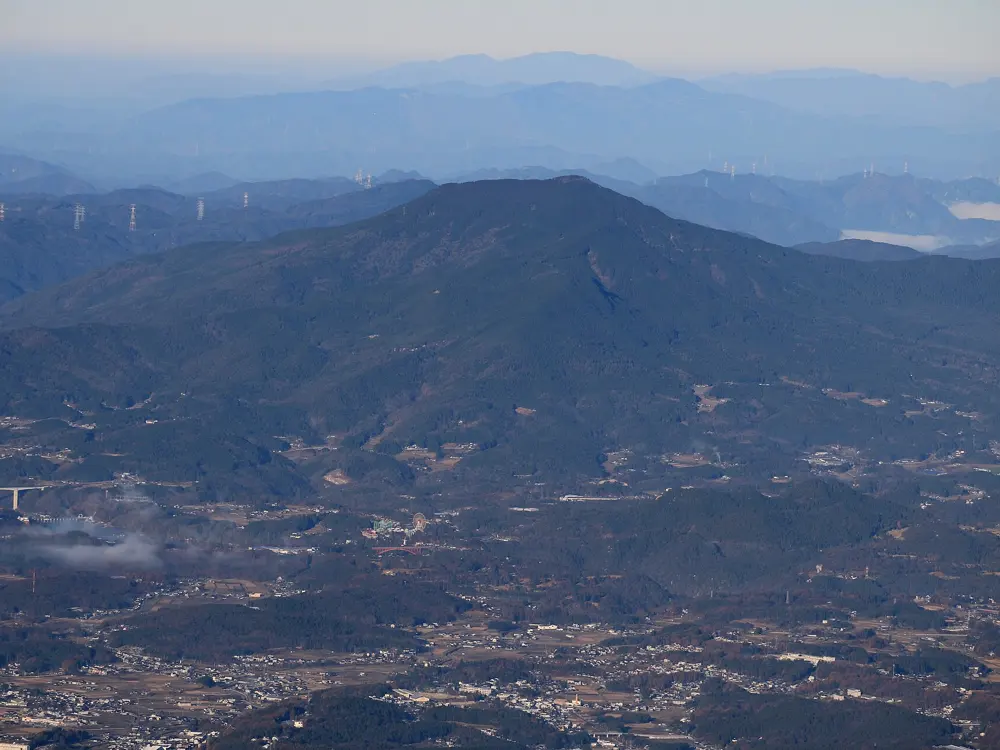
Japan has granite valleys in the mountains, limestone sport crags, volcanic sea cliffs, alpine walls and river boulders an hour from Tokyo. These ten run from the sea cliffs of Akaiwa in Hokkaido, through the alpine walls of Mount Tanigawa, the limestone of Futagoyama and the boulders of Mitake around Tokyo, the granite of Ogawayama and Mizugaki, and the winter sea cliffs of Jogasaki, to Horai in Aichi, Kasagiyama in Gifu and the Kizu River boulders at Kasagi near Kyoto.
For each one you get the rock, the classic climbs and grades, the best season, how to get there, the access rules and fees, how hard it is and where climbers stay. Every fact comes from prefectures, towns, tourism bodies, local climbing associations, theCrag, Mountain Project, climbing magazines or the other pages linked at the bottom.
Slab, crack, face and bouldering; mostly single pitch
Routes
More than 1,000
Altitude
About 1,600 m at the camp
Why go
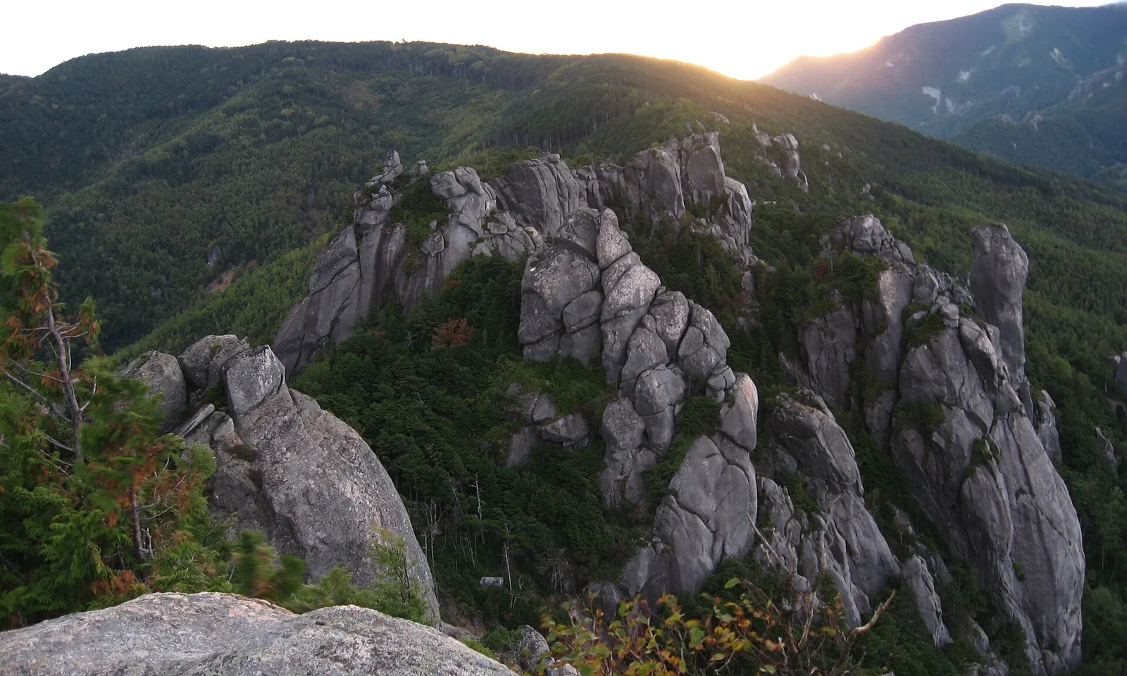
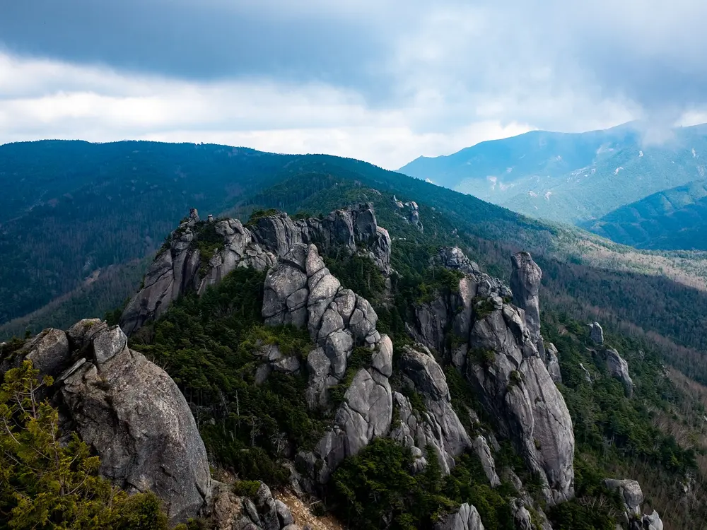
Ogawayama is the granite valley that Japanese climbers call the Yosemite of Japan. Granite domes, pillars and blocks rise out of the forest around the Mawarime-daira campground, on the north side of Mount Mizugaki, and one listing counts more than 1,000 routes and problems spread over many crags. It is the place most Japanese climbers learn to climb on real rock, and it also holds some of the hardest granite lines in the country. Sectors face every direction, so there is usually something in the sun or the shade.
The route
The climbing is mostly slab with some cracks, faces and roofs, and about two thirds of the routes are bolted. The Mara Iwa pillar has routes at every level and is the landmark most visitors climb first. The Nishimatazawa Taigan sector holds Pikunikura (5.10b), which locals call a classic of the grade. Hachimansawa and the crags around Mawarime-daira fill the rest of a long weekend. At the top end, Tokio Muroi climbed Banshousha (8b+/8c) in 2001 and Kakusei (8c) in 2007. Bouldering is spread through the woods between the crags.
When to go
The best season is July to mid October. The camp sits at about 1,600 m, which keeps summer cooler than the lowland crags, but it gets very cold from mid October to May. The lodge and campground are open from mid April to mid November; outside that period there is no running water and no toilet.
Getting there
The nearest station is JR Shinanokawakami. The public bus stops about 5 km below the campground, and a taxi from the station takes about 29 minutes. By car, leave the Chuo Expressway at Sudama or Nagasaka, or the Joshinetsu Expressway at Saku; from Saku the drive takes about 96 minutes.
Permits and booking
No climbing permit is needed. Campers pay an entrance fee at the campground: in September 2026 it was 700 yen a person a day, with tent pitches 1,300 yen a person a night. Some sectors are hard to find and some need small river crossings.
How hard it is
Grades run from about 4b to 8c. Many easy and moderate slabs make it a good first granite area, but friction slabs feel bold to climbers used to steep bolted limestone, and the trad routes need a full rack. There is no English guidebook, so most visitors use online topos.
Where to sleep
Mawarime-daira campground is the base for almost everyone, with tent pitches around the car park and bungalows at 6,000 yen a night. Kinpu Sanso, the lodge at the campground, has Japanese-style rooms from 5,400 yen a person without meals when two share.
Tips
Some sectors are hard to find and need small river crossings, so download theCrag's sector maps before you go.
Bring warm layers even in summer: nights at 1,600 m can be cold.
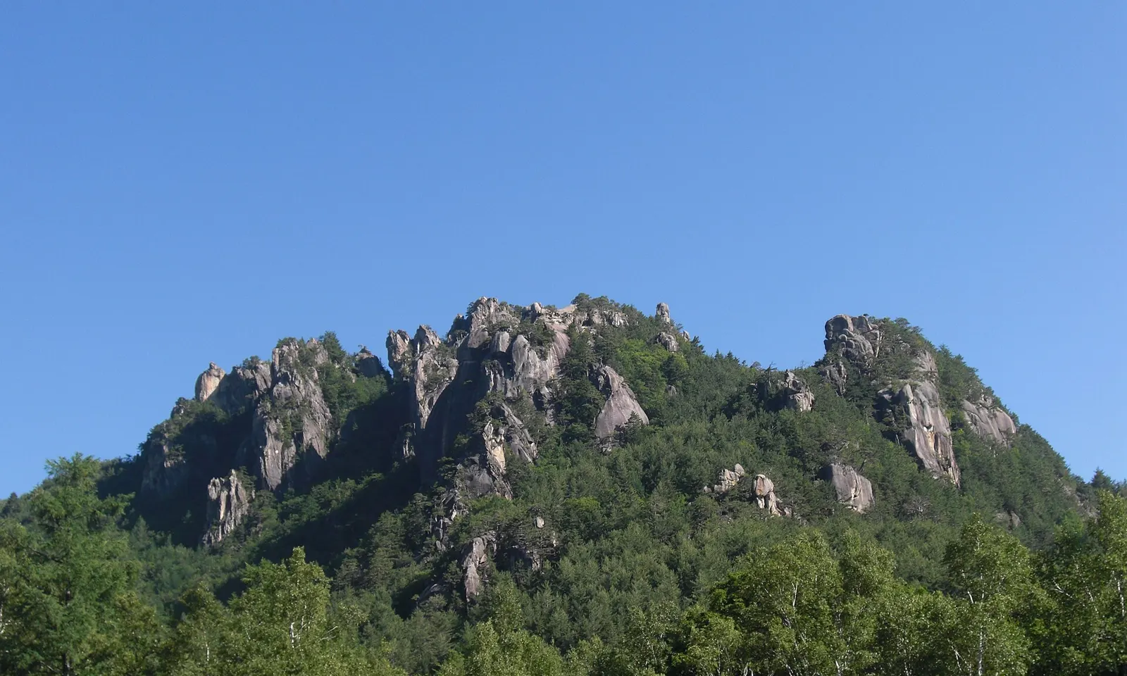
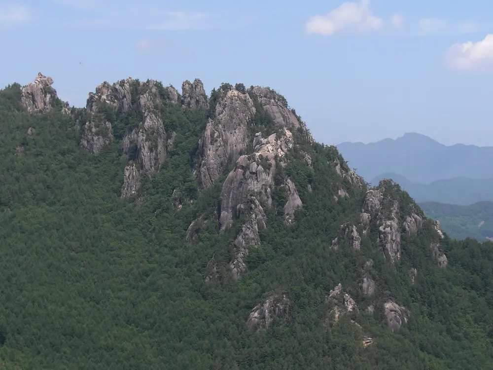
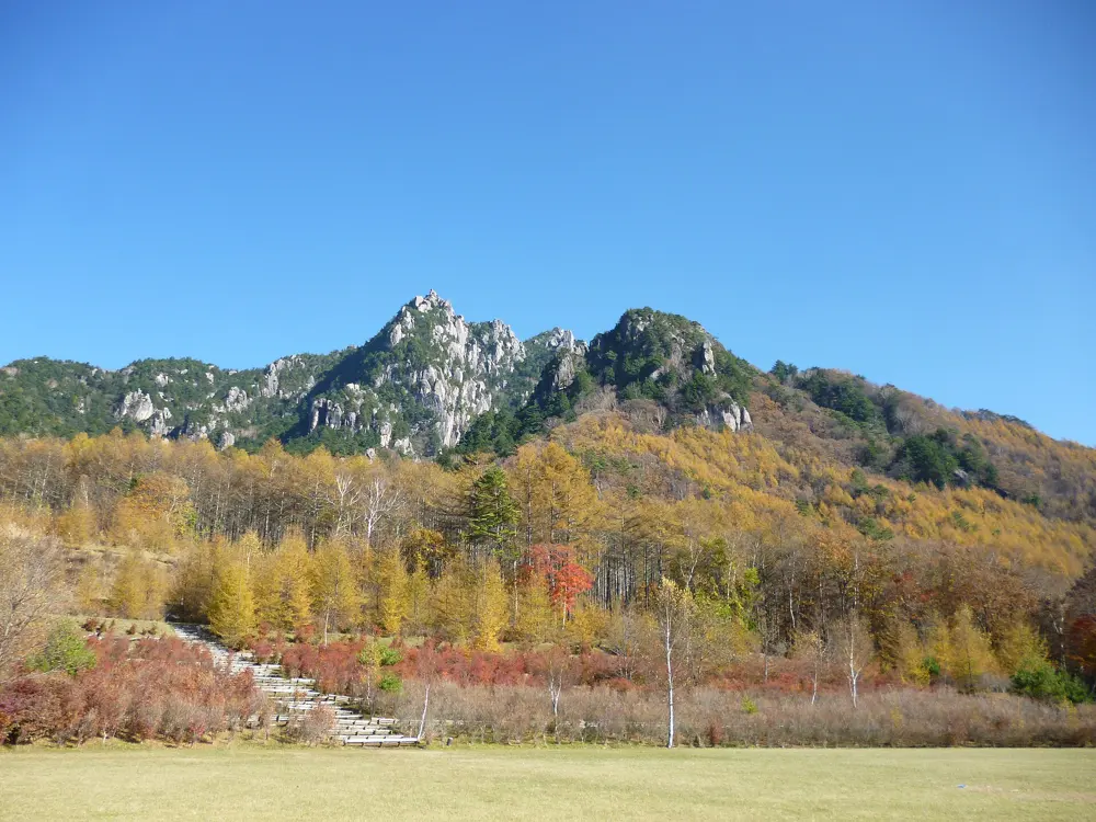
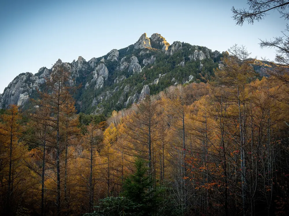
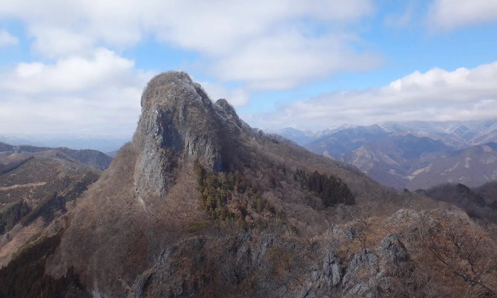
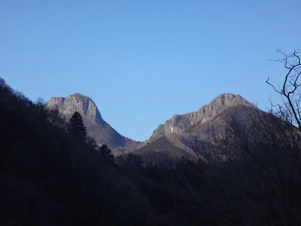
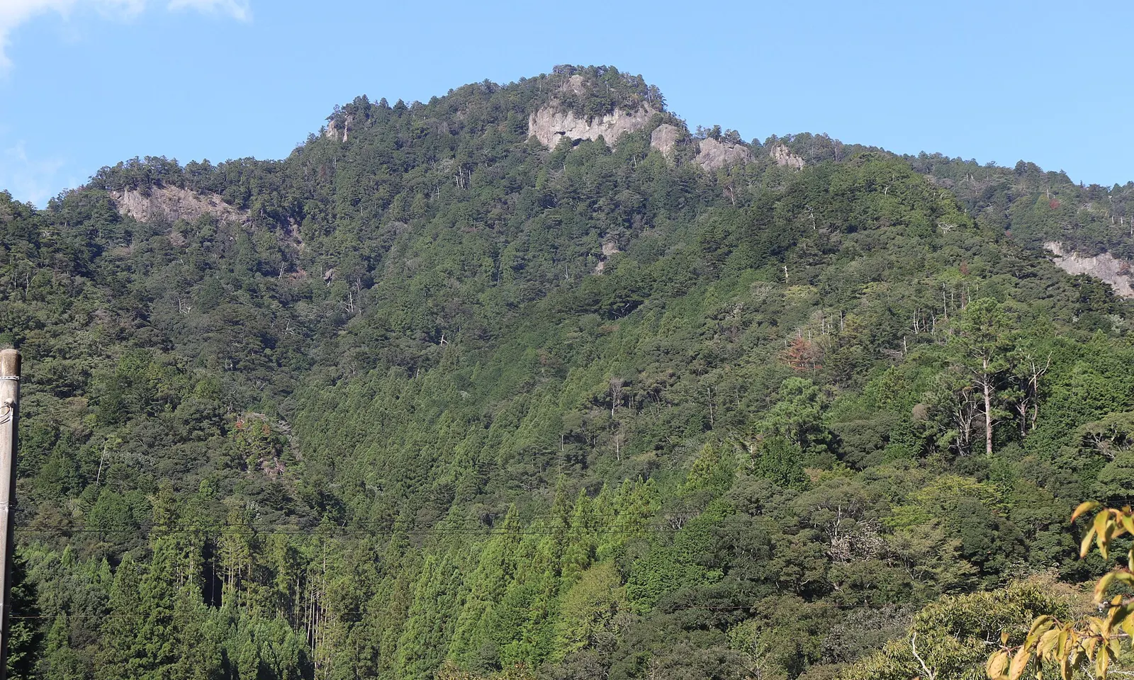
Mount Mizugaki stands at the western edge of Chichibu-Tama-Kai National Park, a crown of granite towers in the north of Yamanashi Prefecture. The rock is high-friction granite full of natural pockets, and the area is known for long trad routes and tall boulders. Buddhist pilgrims named its pinnacles centuries before climbers came in the 1920s. Its main wall, Toichimen-iwa, is about 300 m high and is now a pilgrimage site of its own for Japanese free climbers.
The route
In 1980 Tomoyoshi Omata climbed Haru Urara on Toichimen-iwa as an aid route using mainly nuts, and Naoki Toda freed it in 1984 with bolts only at the belays, a landmark of Japanese free climbing. In 2016 Keita Kurakami and Yusuke Sato climbed Senjitsu no Ruri on the Moai Face in a single push: seven pitches and 250 m, with a crux pitch of 5.14a and only two anchor bolts. For sport, the Kasameri area at the far end of the mountain has Razors Edge (5.10c/d), Alligator (5.11b), Sandal of Gold (5.12a) and Top Gun (5.13a), while Shoku Ju Shai on the southwest side suits beginners. The main boulders are about 30 minutes up the main trail from the car park, with problems such as Mizugaki Lie Back (V3), Frequent Flyer (V5) and Kumite (V10).
When to go
The height makes summer climbing possible, but October to December brings the best friction and the autumn colours. Rhododendrons flower in June. Winter brings heavy snow to the mountain.
Getting there
By car, about two hours from Tokyo: take the Chuo Expressway towards Kofu, leave at Sutama, then follow Route 41 and Route 601 to Mizugaki. The main trailhead, campsite and kiosk are where most climbers park.
Permits and booking
No permit is needed for climbing. The forest belongs to the Imperial household, and some spots have access issues, so follow what local climbers ask and keep to the main paths.
How hard it is
Quality multi-pitch trad starts around 5.9 and runs to very hard, very bold pitches with long runouts above gear. Sport routes start around 5.10a. The boulders are tall and many are highballs.
Where to sleep
There is pay camping at the main car park, with a mountain hut beside it that has running water, toilets, fire pits and home-cooked meals. The campground has an electric fence; black bears live in the forest.
Tips
An English guidebook exists and is sold online by the Pump climbing gyms and in their Tokyo gyms.
Climb on weekdays if you can: Sundays are the busiest days, and the two hour drive back to Tokyo can take up to six hours.
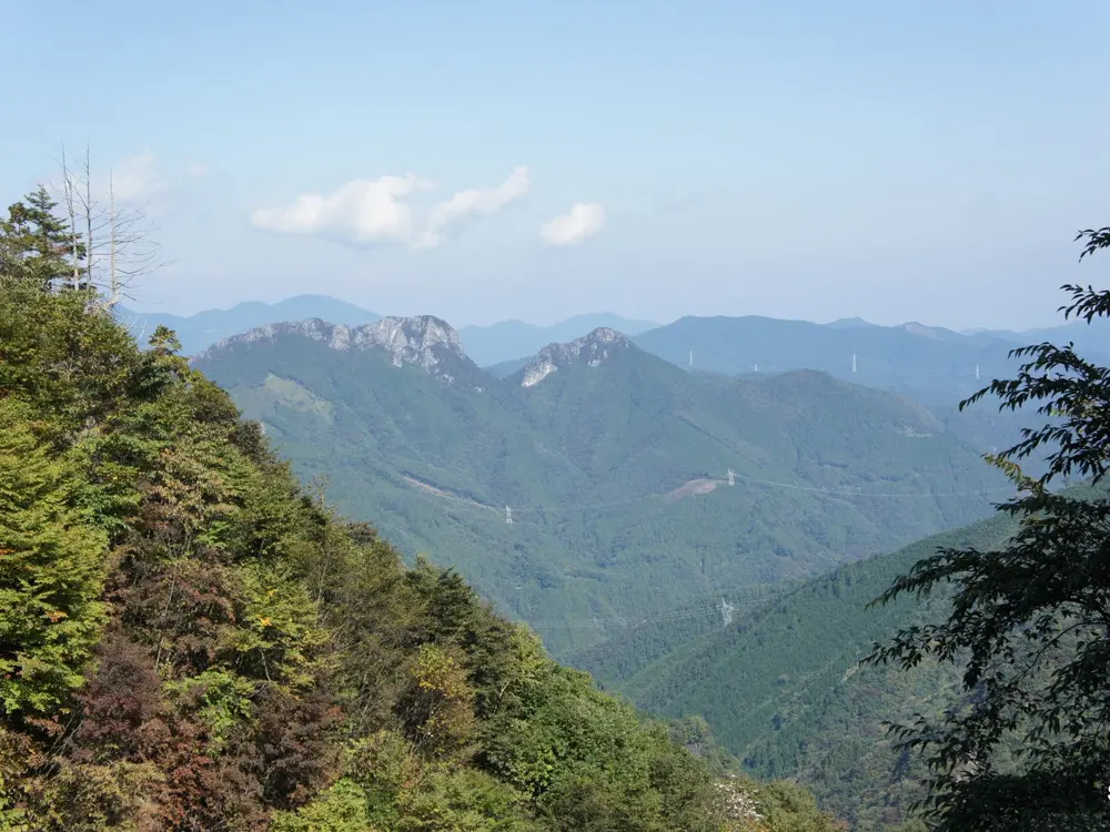
Futagoyama is a twin-peaked limestone mountain of 1,166 m in the hills of Chichibu, and its buttress, 40 to 50 m high and about 200 m long, is one of the largest limestone walls in Japan. It is the home of hard Japanese sport climbing: Yuji Hirayama's Flat Mountain (5.14d/5.15a) on the East Peak was the hardest sport route in the country for 11 years, until 2017. It also has plenty of 5.10 to 5.12 climbing within reach of Tokyo by train and bus.
The route
The Yumi Jo area of the East Peak is the main and best known sector, with popular routes such as Devil's Etude (5.10a) and Petrushka (5.12b). The East Peak also holds Firmamento (5.14a/b) and Flat Mountain. On the West Peak, the Central Arete (Chuoryo) is the usual choice for a first multi-pitch. The local Ogano climbing association has been rebolting, cleaning and developing routes since 2021.
When to go
Sources differ, with one giving March to November and another the whole year. The walking guides list February, March, May, November and December as the best months for the mountain. The rocky ground of the West Peak is more dangerous in rain and on the day after.
Getting there
From Seibu-Chichibu Station, take a bus to Ogano Town Office (about 35 minutes, 500 yen), then a bus to Sakamoto (35 minutes, 200 yen); the first weekday bus reaches Sakamoto at 7:40. The approach takes 30 to 50 minutes from the bus stop or 10 to 30 minutes from the car park. Drivers come in on National Route 299 from Shigasaka Pass. Route 299 between the Shigasaka Tunnel and Sakamoto closes in heavy rain, which also stops the buses.
Permits and booking
No permit is needed. Some spots have access issues, so follow local climbers' advice. Joining the Ogano association supports the rebolting and gives access to its members' topo of the new areas.
How hard it is
Most routes are 5.10 to 5.12, with few easy ones; one logbook counts only eight at 5.9 or easier. The association has moved the crag to French grades, and climbers used to Japanese grades should expect the new grades to feel soft. The top grades reach 5.15.
Where to sleep
Many climbers come for the day by car from Tokyo. Without a car, stay in Ogano or Chichibu so you can catch the morning bus to Sakamoto.
Tips
Check the Ogano Town Tourism Association for road closures before you go: the Kanayama to Shigasaka forest road has been closed indefinitely after a collapse.
Check which grading system your topo uses, since older guides use Japanese grades.
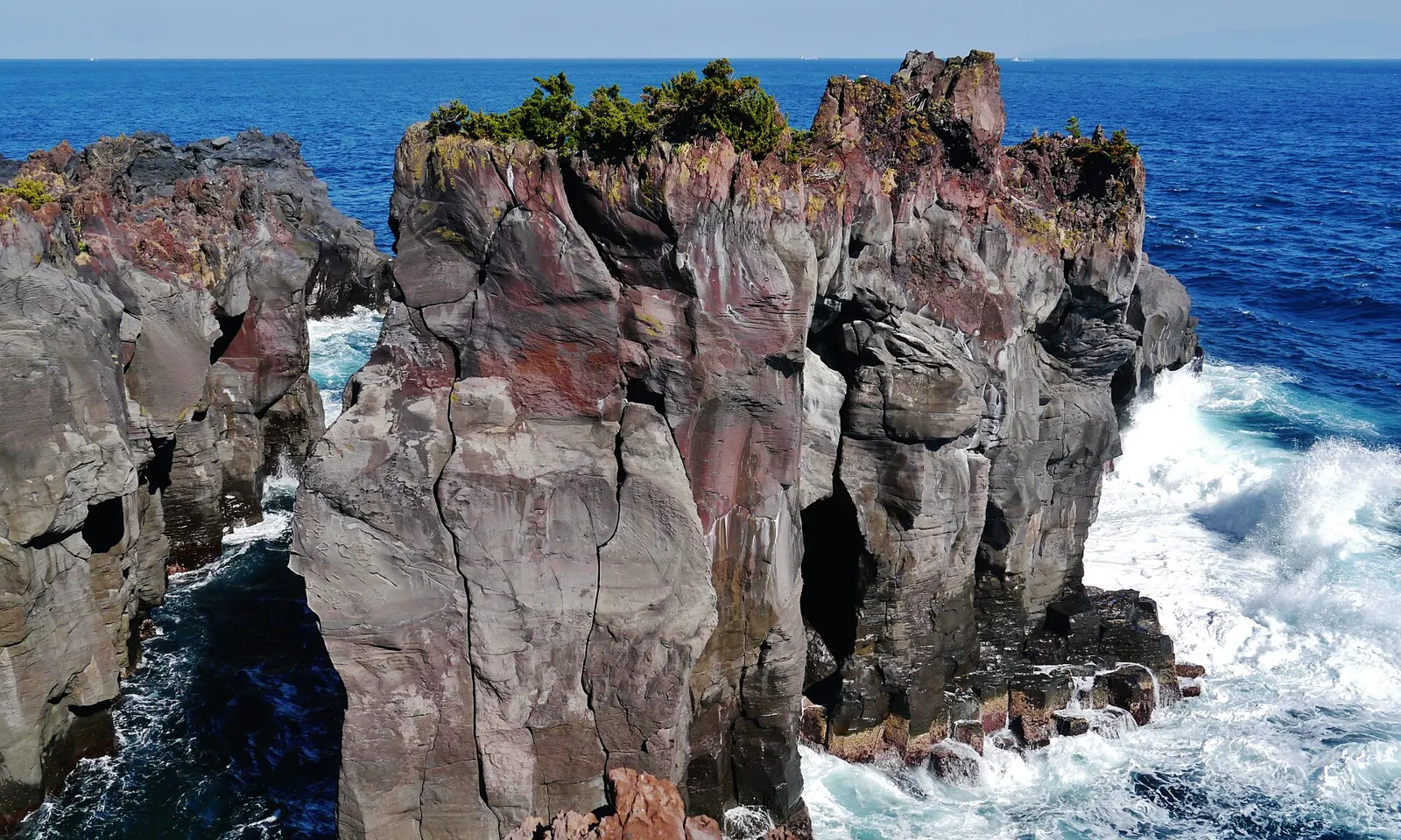
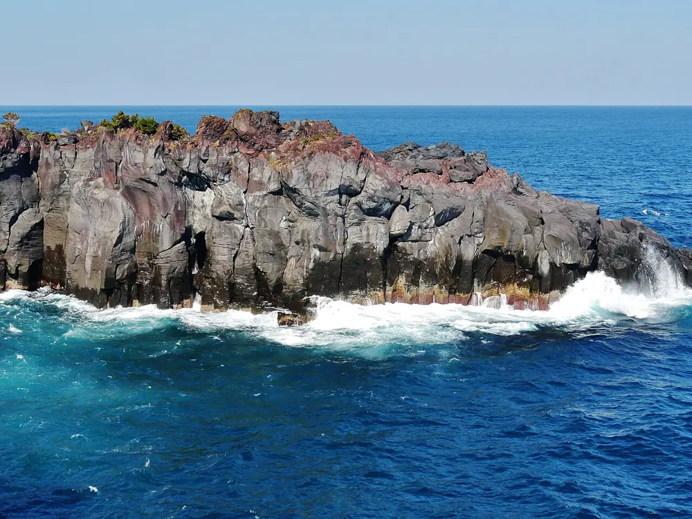
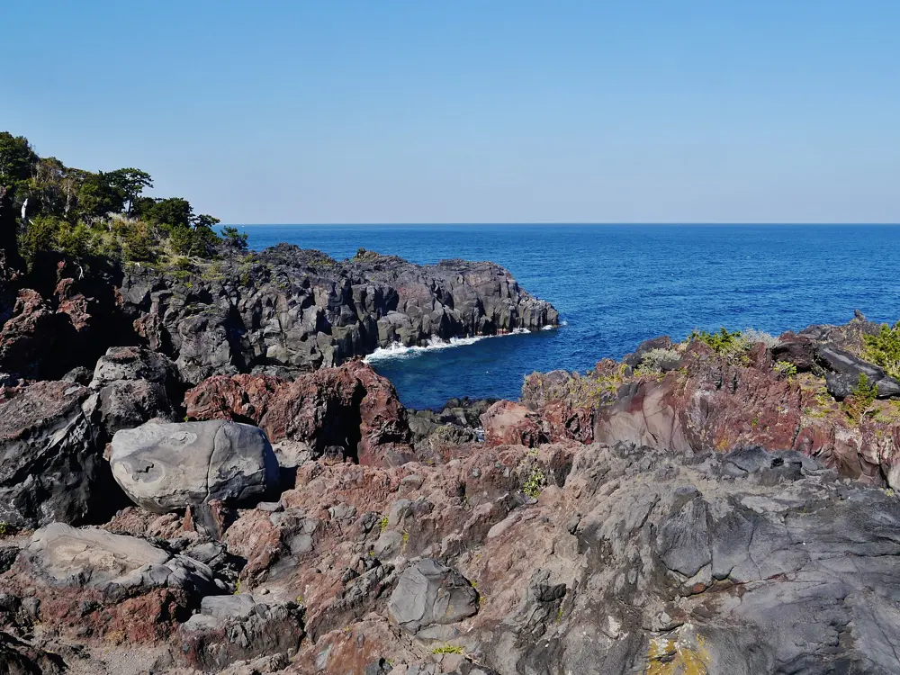
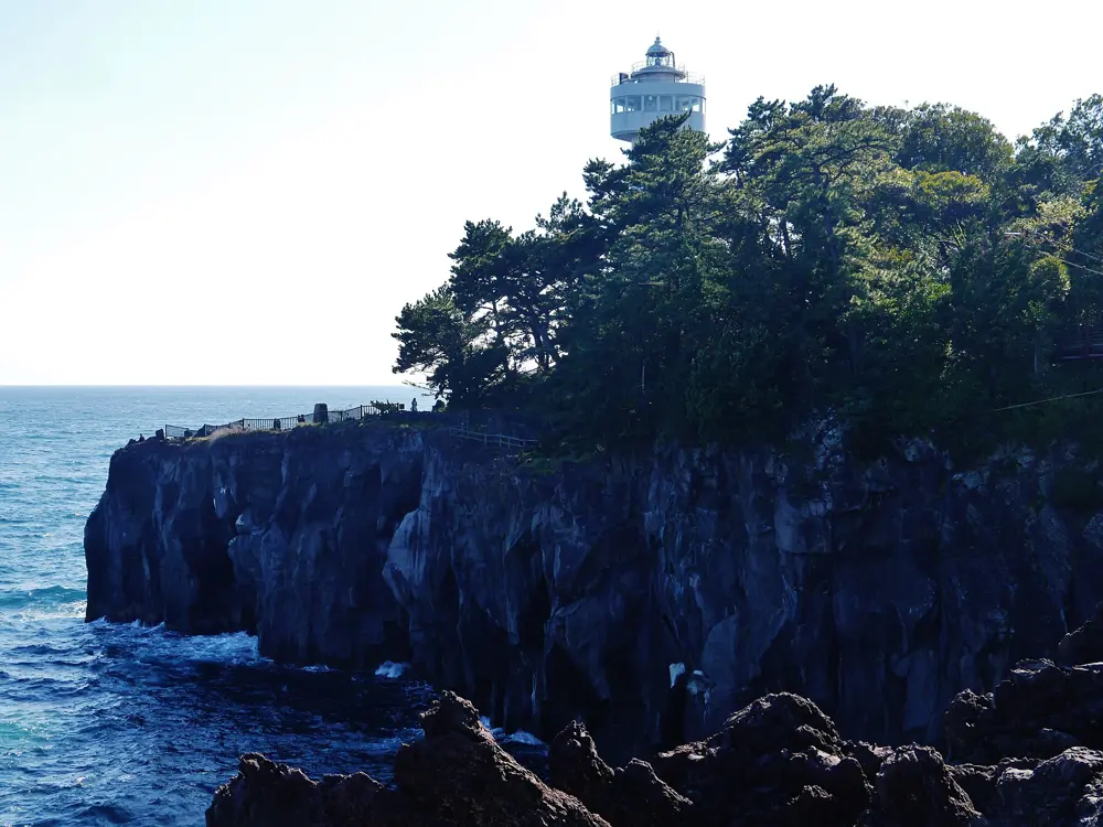
The Jogasaki coast on the east side of the Izu Peninsula is dark volcanic rock dropping into the Pacific, and it is the winter crag of the Tokyo climbers. The cliffs face mostly south, the rock holds the sun, and some bays are warm enough to climb in a T-shirt in January and February, when Ogawayama is far too cold. One guide counts more than 500 routes along the coast, most of them a single pitch.
The route
Seaside Sunset Wall is the most popular crag: a 100 m amphitheatre of 44 routes, most around 30 m long, overhanging at an average of 115 degrees. Pumping Iron II (5.12b) and Circus Right (5.12c/d) are its classics. Peter Pan (5.10b) in the Sunset area and Early Times (5.10b/c), a trad line in the Sunrise area, are among the best rated routes. Other bays include Ukiyama-bashi (5.10+ to 5.13), Astro Dome (5.12 to 5.13), Otatsuiso and Family Crack (5.9 to 5.11), and Hashidate to Igaigane (5.10 to 5.11). Easier climbs are near the suspension bridge and further up the coast.
When to go
The season starts in November, when the mountain crags get too cold, and runs through the winter; some bays suit March and April. The rock is dark and faces mostly south, southeast or southwest, so the colder months are preferred. Weekends, and Sundays above all, are crowded, and one climber waited an hour and a half for Pumping Iron II.
Getting there
By train, take the Izukyu Line to Jogasaki-Kaigan (the most central), Futo or Izu-Kogen, and walk 30 to 40 minutes to the sea. By car it is about 90 minutes from Tokyo; follow Route 135 past Ito. A trail along the cliff top leads to most bays, and several are reached by abseiling to the shore.
Permits and booking
The coast lies inside a national park, so overnight parking and camping are not allowed, and roadside parking is banned. Use the paid car parks; some are free on weekends, but locals ask climbers to pay the 500 yen fee. Bolting and new routes need permission from the Japan Free Climbing Association and the park. Fixed ropes, dogs and leaving gear are not allowed, and toilets are only at the top of the cliffs.
How hard it is
Most routes are 5.11 and harder, so it is not a beginners' area. The first bolt is often about 6 m off the ground. Some bays need a 5.7 climb to get out, and the exits get queues, so carry a headlamp.
Where to sleep
Camping and overnight parking are banned, so climbers on longer trips stay in the inns near the coast.
Tips
Salt corrodes the bolts and anchors quickly: inspect every piece of fixed gear before you trust it.
A 60 m rope is enough for nearly all routes; bring a trad rack for the crack lines.
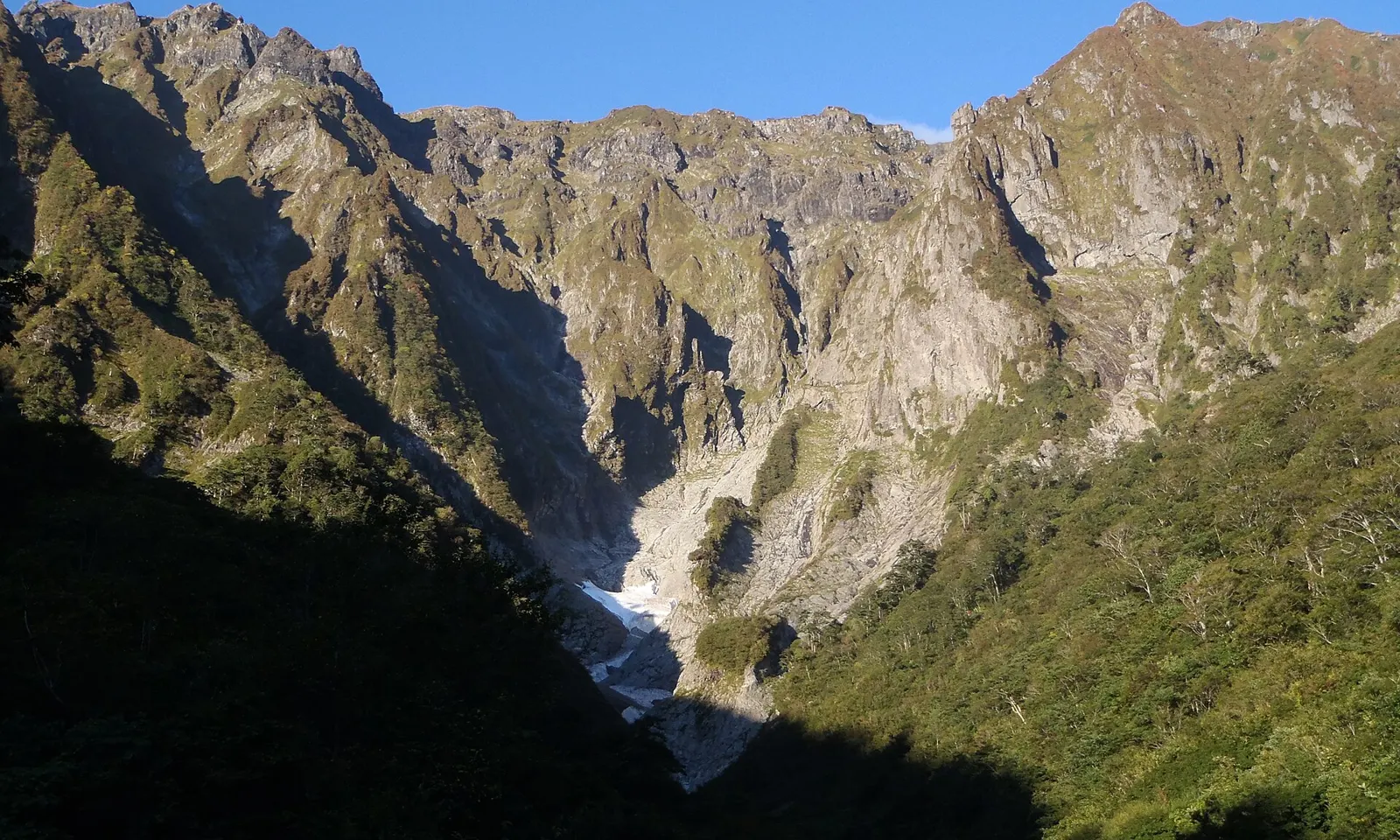
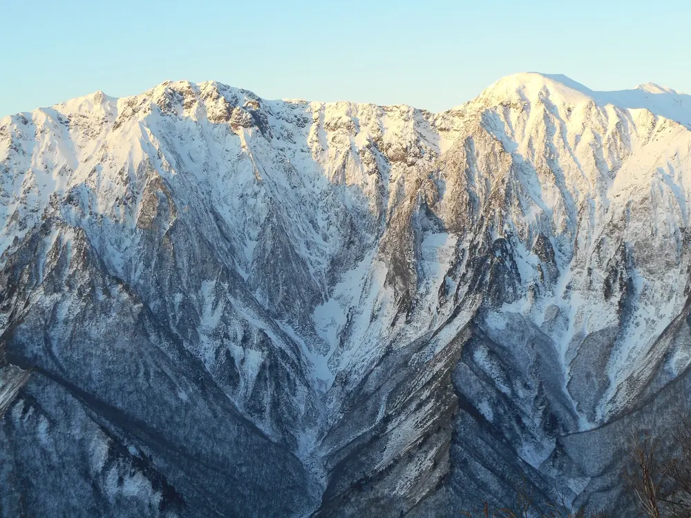
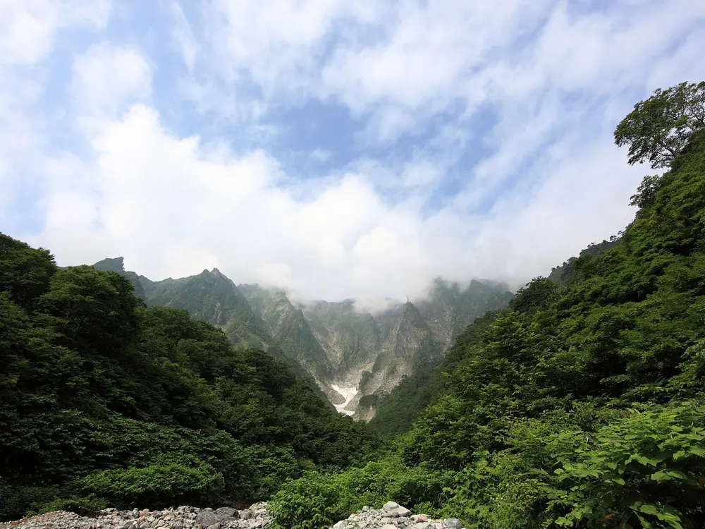
Ichinokura-sawa is the great cirque of rock walls on Mount Tanigawa, counted as one of Japan's three great rock walls. When the Joetsu Line opened in 1931, it put the mountain within reach of climbers from Tokyo. More than 800 people have died on the mountain since the 1930s, and 37 in 1966 alone, which led Gunma to pass the Tanigawa accident prevention ordinance in 1967. It is serious alpine climbing, and it is the most storied wall in the country.
The route
The usual first route is the Minami-ryo (South Ridge) on the back wall of Eboshi-zawa: six pitches graded IV, IV, II, III, IV and V on the Japanese scale, starting with a chimney and finishing with a vertical crux pitch. It is popular enough that parties sometimes turn back because of the queue. The central ridge of the Tsuitate-iwa, the rock peak that is the symbol of Ichinokura-sawa, is a longer multi-pitch route reached by way of the Hyonguri waterfall and the Tail Ridge.
When to go
The climbing season on the mountain runs from April to November. In spring the prefecture bans all entry to the danger zone while snow avalanches are likely; in 2025 the ban ran from 17 March to 25 April. Even after it lifts, rockfall and collapsing snow in the lower gullies are a risk.
Getting there
From Jomo-Kogen Station on the Joetsu Shinkansen, a Minakami Line bus runs to the Tanigawadake ropeway at Doaiguchi in about 45 minutes; from Minakami Station it is about 20 minutes. The Ichinokura-sawa walking route from Doaiguchi is 6.9 km and takes about two hours.
Permits and booking
Ichinokura-sawa is inside the Tanigawa danger zone, along with Machiga-sawa, Yu-no-sawa and the south face. From 1 March to 30 November every party entering the zone must file a climbing notice with the Tanigawadake Mountaineering Guidance Centre, and the law sets penalties for breaking the rules. Notices sent by fax or email are not accepted, and a notice sent without confirmation counts as not filed. Visit Gunma advises filing at least 10 days ahead.
How hard it is
The grades are moderate by modern standards, but this is alpine climbing on the most dangerous mountain in Japan. Rockfall and the collapse of snow in the lower gullies are the main hazards, and the prefecture asks every climber to judge the weather, rockfall and avalanche risk and their own skill before setting out. Go only with solid multi-pitch experience.
Where to sleep
Most climbers stay in Minakami town. On the mountain, the Kata-no-koya hut near the Toma-no-mimi summit takes guests from May to early November. The Guidance Centre's rest house at the trailhead is open 24 hours, with toilets and water.
Tips
Call the Guidance Centre (0278-72-3688) before you go for current snow and rockfall conditions.
Check the ropeway's last run if you plan to use it on the way back.
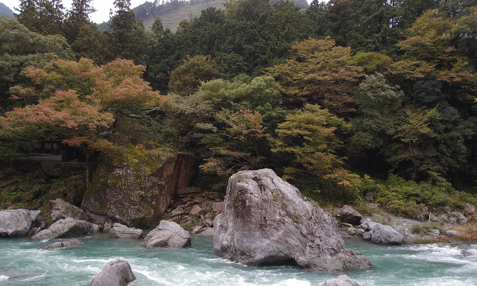
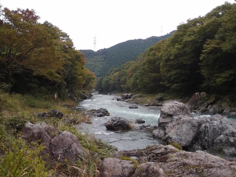
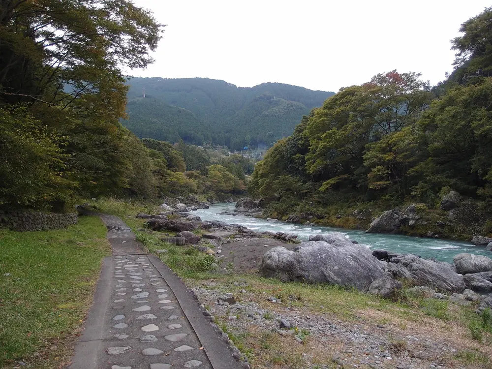
Mitake is Tokyo's own boulder field: a gorge of the Tama River in the west of the city, where boulders sit on both banks a short walk from the station. It is the easiest real rock in Japan to reach from the capital, and it has problems for every level, from beginners' blocks to Kanimushi, the 8B that Dai Koyamada first climbed in 2001. Canoes and rafts run the river past the boulders.
The route
The Somanokobashi area, about 5 minutes from the station, has many easy problems on both sides of the river and suits beginners. The Gyokudo Bijutsukan area, by the art museum, is the closest area to the station. The famous boulders are Ninja Rock (also called Ninja Returns) and Deadend. Jumping Hook (V5) and Mine no Yu (V5/6) are two of the listed problems, and Kanimushi is the hardest.
When to go
The season is late September to May. Summer is too hot and humid for good friction, and crowded, while winter brings crisp, dry days for hard attempts. The north side of the river is in the sun and the south side in the shade. The rock dries quickly after rain.
Getting there
Take the JR Ome Line to Mitake Station; from Shinjuku, use the Holiday Rapid Okutama on weekends and holidays or the Chuo Line Rapid and change at Ome. The trip back from Mitake to Shinjuku takes about 1 hour 10 minutes and costs 1,034 yen with an IC card. The river is about a 5 minute walk from the station. Sawai Station is closer to some areas.
Permits and booking
No permit is needed. Many boulders sit near busy paths and houses, so follow local climbers' advice. There is a dam upstream: if you hear the water release siren, move away from the river at once.
How hard it is
Boulders range from a few metres to 5 or 6 m tall. Problems are graded on the Japanese dan and kyu scale, from about Fb3 to Fb8B.
Where to sleep
Most climbers come for the day from Tokyo. The Ome City Mitake Community Center, across the road from the station, has coin lockers, toilets, showers and a rest area above the river, as well as a small bouldering wall.
Tips
Bring food: there may be no convenience store at Mitake.
Go on a weekday if you can; weekends and holidays are crowded.
Horai, in the forested mountains just north of Shinshiro, is often called the sport climbing area of Japan. Its steep volcanic rock is scattered through the forest of the former town of Horai, which lies largely within Aichi Kogen Quasi-National Park and is named for the mountain temple of Horai-ji. It is also one of the world's hardest bouldering venues: Dai Koyamada opened Byakudo and Epitaph here, both graded 8C, and the area still draws the strongest boulderers in Japan.
The route
theCrag lists about 14 areas spread through the forest, with steep sport routes up to 5.14d. On the boulders, Koyamada climbed Byakudo (8C) on 11 November 2003, Epitaph (8C) in January 2009, Idea (8B+) in 2010, Vanitas (8C) in 2014 and Mona Lisa (8B+) in 2015. Hallucination, which Koyamada first climbed in 2003, later lost a hold; after the break it went to Kazuma Ise in December 2021 at 8C+.
When to go
theCrag recommends the less humid part of the year; the steep rock is at its best when the air is dry.
Getting there
The JR Iida Line runs from Toyohashi into the Horai mountains; get off at Mikawa-Kawai and walk from the station. Drivers go up through the village to the small car park at the end of the road. Approaches to the sectors take 20 minutes to an hour.
Permits and booking
No permit is needed. Park in section C of the car park, because section A is reserved for hikers. Climbers may not leave quickdraws on routes overnight; local priests say it would upset the spirits of the forest. The local climbers' association has run clean-up days around Lake Horai and the Chiiwa River crags for years.
How hard it is
Horai is a crag for strong climbers. The routes are steep and powerful, and the famous boulders are among the hardest in the world, though there are easier sport routes in the 6a to 7c range.
Where to sleep
Yuya Onsen, a hot spring town along the Itajiki River in the Horaikyo valley, has inns.
Tips
Take your quickdraws down at the end of each day.
Carry a map or GPS track: the sectors are spread through thick forest.
The climbing area on Mount Kasagi above Ena is run by the local community. The Kasagiyama Climbing Association, made up of the Kasagi property ward, Ena City and the city's tourism association, opened it in June 2009 and has since added two more areas, Inoshishi-machi and Rindo-jo, for six in all. About 150 boulders and faces have problems, from beginners' blocks to some of the hardest in the country, and new ones are still being set.
The route
The rock is rough volcanic tuff with unusual textures, and the boulders are generally tall. Listed hard problems include Abara, Aldebaran, Passion and Jakumetsu (all yondan, about 8A), and Irukaruga; Golden Crack, Chariots and Nebura are in the 7B to 7C range. In 2024 Dai Koyamada climbed Kaikien on Mount Kasagi and graded it 8C. Sato Area has easier problems from about 6A.
When to go
The best months are March to May and October to December. At over 1,000 m, summer is cooler than the valleys but has biting insects, and winter depends on snow, with sharp drops in temperature.
Getting there
Drive: the car park is about an hour from Ena interchange on the Chuo Expressway, by Prefectural Route 68 towards Shirakawa. Look for the Kasagiyama Climbing Area sign and a waterwheel. The association has enlarged the car park.
Permits and booking
Every climber pays a 300 yen contribution on each visit, which pays for the toilets, the car park and local projects. Follow any notices about closed areas, which may apply during construction work; the association may refuse entry to anyone who ignores the rules. The full rules are on its website.
How hard it is
Grades run from about 3B to 8B, with Kaikien at 8C. Landings can be uneven, so bring several pads and good spotters.
Where to sleep
Bokyo no Mori campground on Mount Kasagi is close to the climbing; otherwise stay in Ena.
Tips
Park so that local residents and farm vehicles can get past.
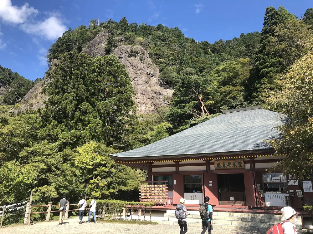
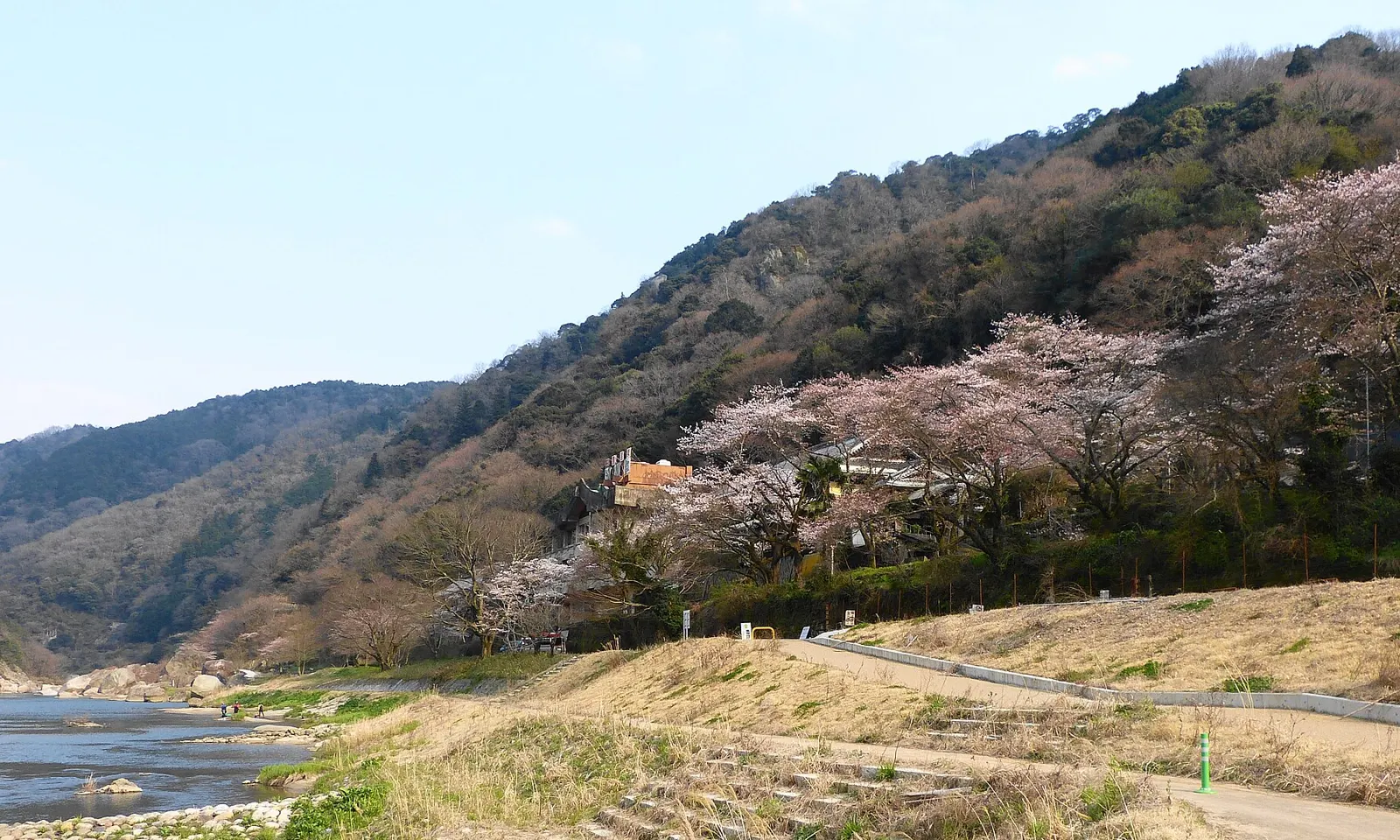
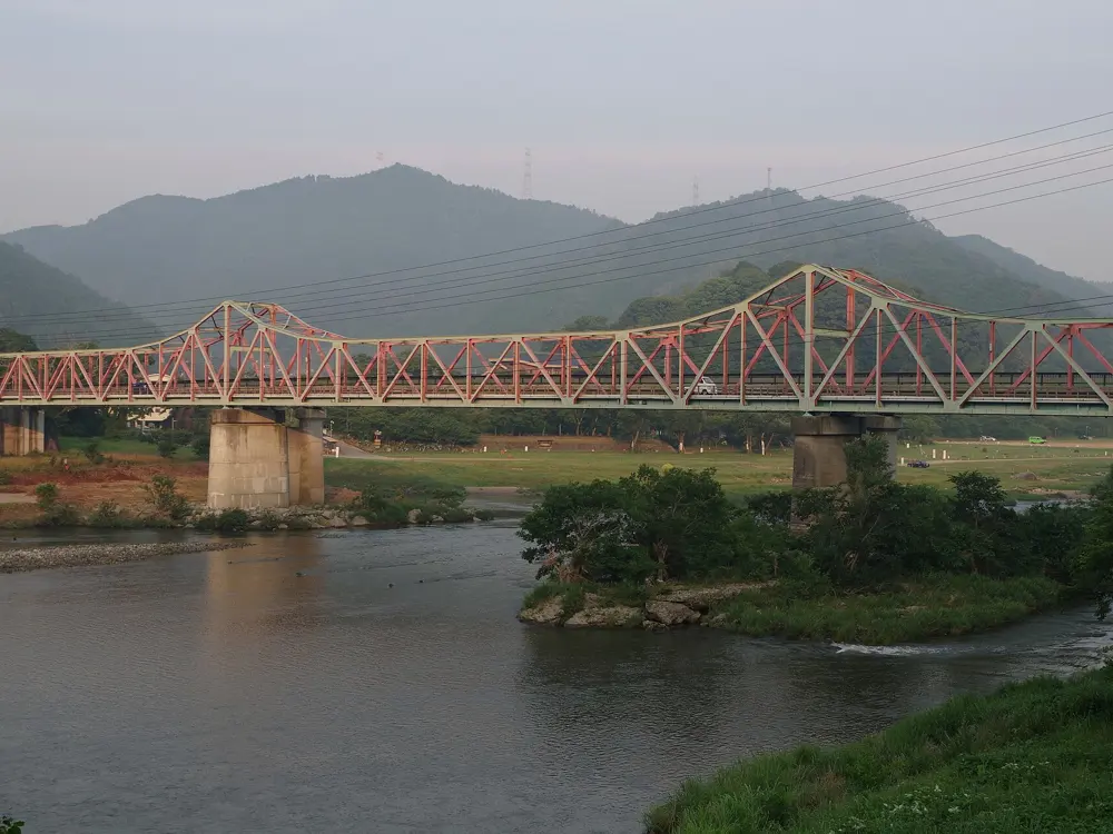
Below Mount Kasagi, a 289 m granite hill with a temple and Buddha figures carved into its cliffs, the Kizu River runs past some of the biggest boulders in the Kansai region. They have been climbed since the 1980s, and the river has not polished them smooth, so the granite still has good friction. The boulders are a short walk from Kasagi station on the JR Kansai Line, and the campground beside them is open all year.
The route
Mountain Project counts about 120 problems in three areas along the river: the Downstream Boulders, Middle Stream and Upstream. Jumping Heel Hook (V2 to 3) and Southern Back Big Lunge (V5 to 6) are classics of the Downstream Boulders. The Kiken Face rock holds the largest group of problems. Between sessions, the 800 m training route through Kasagi-dera temple on the mountain passes the rocks and caves of an old ascetics' path, and the temple's main image is a Maitreya figure about 15 m tall carved into the cliff.
When to go
Spring and autumn are the main seasons for bouldering and canoeing on the river. Late October to early December often brings a sea of cloud below the mountain in the early morning.
Getting there
Take the JR Kansai Line to Kasagi; trains run about once an hour. The trip takes about 1.5 hours from Osaka and 1.25 hours from Kyoto, and the boulders are about a 10 minute walk from the station.
Permits and booking
No permit is needed, but there is no formal access agreement and climbing is not always permitted. Do not block residents or farm machinery when parking, avoid noise and litter, and get a permit before lighting any fire.
How hard it is
Grades run from about V0 to V12, and many problems suit beginners. Landings are typically good.
Where to sleep
Kasagi campground is on the riverbank about 5 minutes from the station. It is open all year without booking, cars can drive onto the site, and entry is from 8:00 to 17:00. It closes when heavy rain threatens a flood. There is no supermarket nearby, so shop at Kamo, the next station.
Tips
Check the weather before you go: the riverside campground closes when heavy rain brings a risk of flooding.
Allow an hour for the temple's rock trail on the mountain above the boulders.
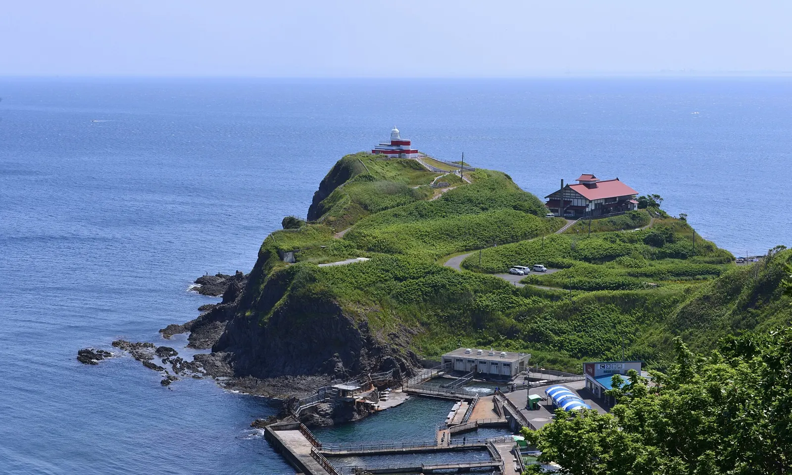
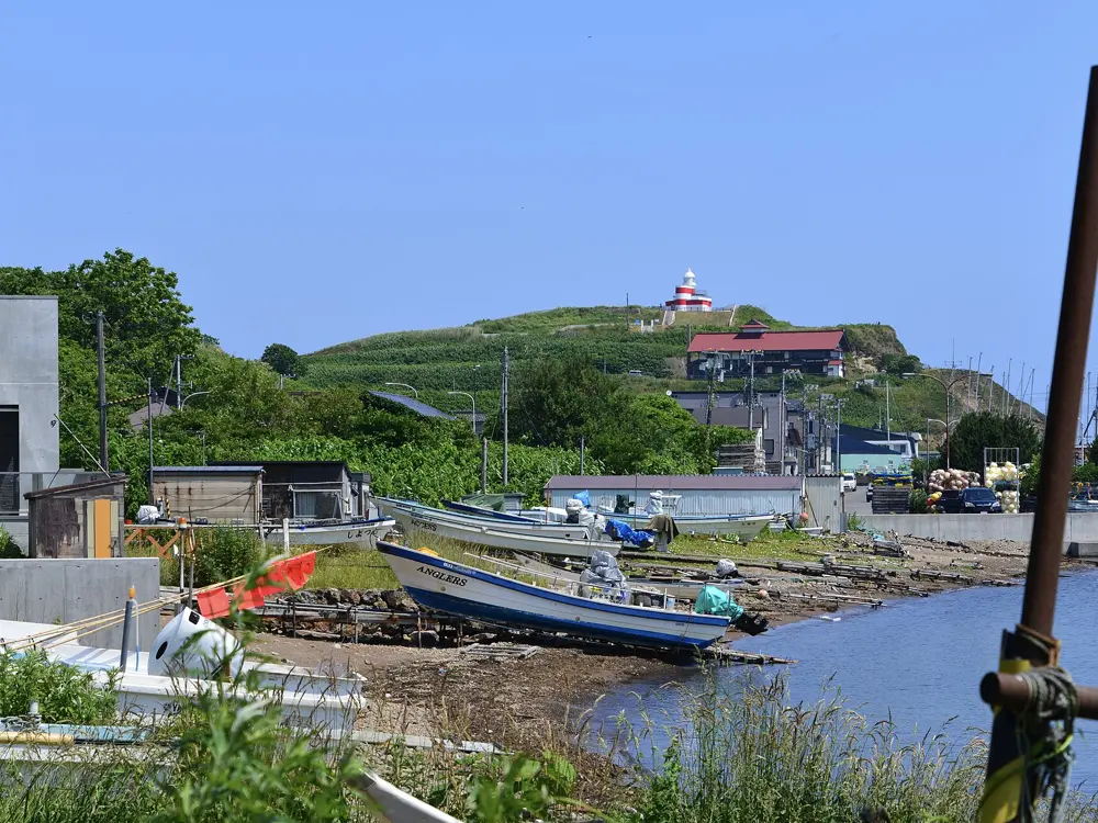
Akaiwa is one of Hokkaido's oldest and largest climbing areas: steep cliffs and odd rock towers along about 3 km of coast at Shukutsu in Otaru, about 40 minutes' drive from Sapporo. More than 200 routes run from 20 m single pitches to seven-pitch climbs, with the sea behind you. Climbers from abroad come here to train, and the local guides use it to teach traditional climbing.
The route
The classic multi-pitch routes are the West Wall (III, 3 pitches, 60 m), Table Ridge (IV, 4 pitches, 100 m) and Pinnacle Ridge (IV, 5 pitches, 100 m). The 44 Face has bolted routes with chain anchors. On the eastern face, Daikokuiwa is a 60 m block that local climbers take on as a test piece.
When to go
Guides run their beginner and trad courses here from March to May and their advanced multi-pitch trips from June to October. There is no official season.
Getting there
By car, Akaiwa is about 40 minutes from Sapporo. Without a car, take the train to Otaru; the Shukutsu bus line from Otaru Station reaches the Otaru Aquarium stop in about 26 minutes.
Permits and booking
No permit is needed. Some shore paths are closed to the public because of rockfall risk, and some spots have access issues, so follow local climbers' advice or go with a local guide.
How hard it is
Routes run from UIAA III- for beginners through IV and V to VI-. Most of the climbing is traditional, so bring nuts and cams and be ready to build anchors. The rock is andesite, and rockfall is a real hazard on these cliffs.
Where to sleep
Stay in Otaru, where Japanese-style onsen hotels such as Kourakuen and Musashitei offer half board, or in Sapporo and drive out for the day.
Tips
Leave nothing in the car: in 2019 climbers reported a stolen pack and a car break-in here.
Hire a local IFMGA guide if you have not climbed on sea cliffs before.
Sources
Distances, heights, seasons and permit rules were checked against these pages. Rules change, so check the park or trail authority before you go.