Rungs Labs

Rungs Pilgrimage · Climbing · India

The 10 Best Places for Rock Climbing in India

Hampi, Vijayanagara district, Karnataka. Photo: Vyacheslav Argenberg (CC BY 4.0)

India has granite boulders in the south, red sandstone sport crags, basalt pinnacles in the Western Ghats, high-altitude bouldering and big granite walls in the Himalaya. These ten run from the boulders of Hampi and the bolted canyons of Badami in Karnataka, and the granite hills around Bengaluru, through the Sahyadri pinnacles of Maharashtra, to Rakchham, Sethan and Manali in Himachal Pradesh, Shey and the Suru Valley in Ladakh, the Gangotri walls in Uttarakhand, and Tenzing Rock and the training hills of Purulia and Bankura in West Bengal.

For each one you get the rock, the classic climbs and grades, the best season, how to get there, the access rules, permits and fees, how hard it is and where climbers stay. Access changes often in India, and several crags near Bengaluru are closed, so we say plainly where climbing is restricted. Every fact comes from district and tourism bodies, mountaineering institutes, climbing journals, theCrag, Mountain Project, local climbing groups or the other pages linked at the bottom.

Updated 2026-10-18

  1. 01HampiVijayanagara district, Karnataka
  2. 02BadamiBagalkot district, Karnataka
  3. 03RakchhamSangla Valley, Kinnaur, Himachal Pradesh
  4. 04Ladakh: Shey Rock and the Suru ValleyLeh and Kargil districts, Ladakh
  5. 05The Sahyadri pinnaclesLonavala, Raigad and Harishchandragad, Maharashtra
  6. 06Manali and SethanKullu district, Himachal Pradesh
  7. 07Gangotri: Shivling and the Bhagirathi peaksGangotri National Park, Uttarkashi, Uttarakhand
  8. 08Ravugodlu and the Bangalore cragsBengaluru and southern Karnataka
  9. 09Darjeeling: Tenzing Rock and Gombu RockLebong Cart Road, Darjeeling, West Bengal
  10. 10The hills of Purulia and BankuraPurulia and Bankura districts, West Bengal
01 / 10

Hampi

Vijayanagara district, Karnataka
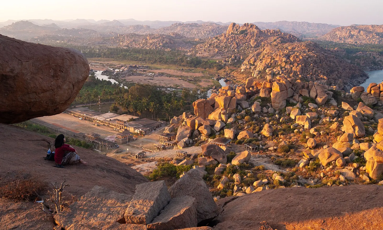
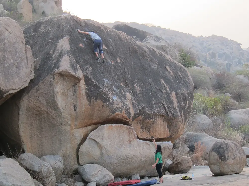
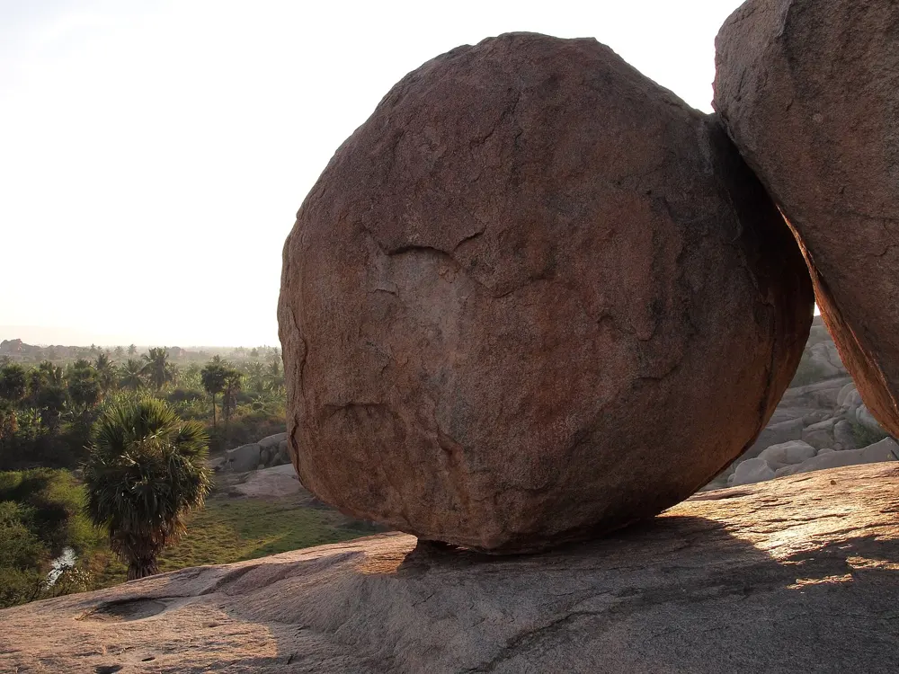
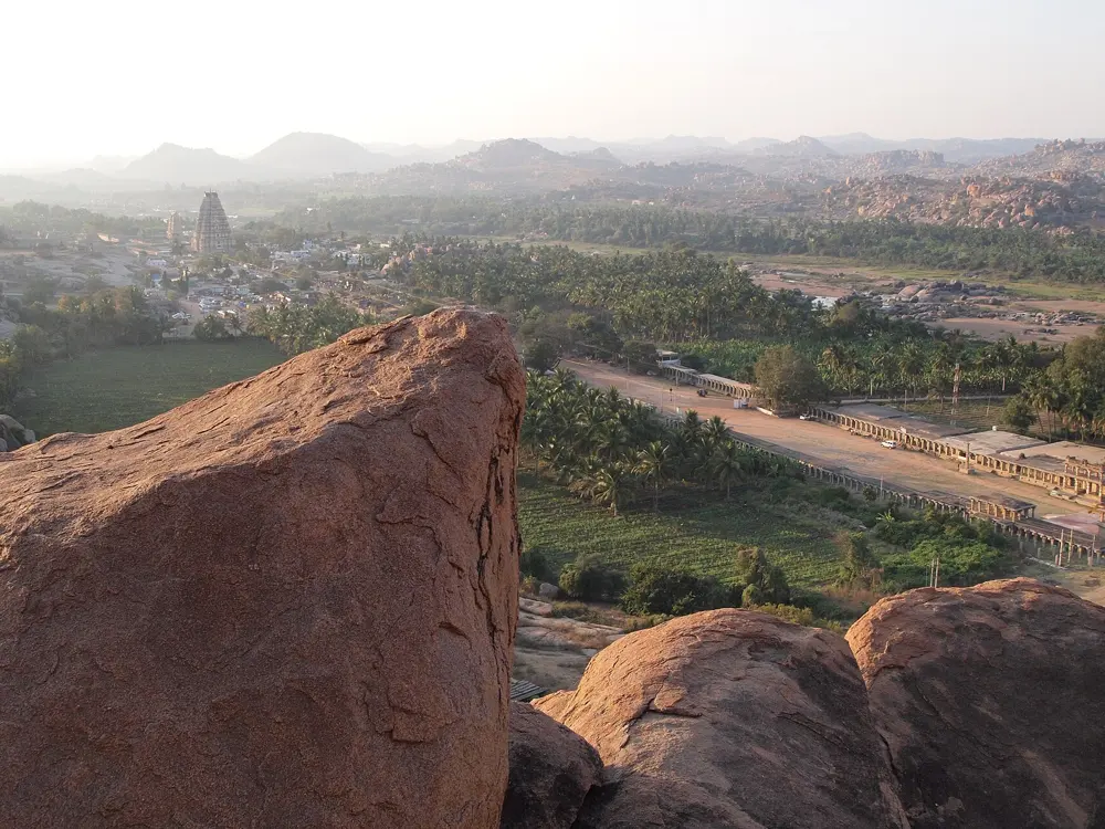
The granite boulders of Matanga Hill above the river valley at Hampi

Photos: Vyacheslav Argenberg (CC BY 4.0), ryguywy (CC BY 2.0), Vyacheslav Argenberg (CC BY 4.0), Vyacheslav Argenberg (CC BY 4.0)

Rock
Granite
Style
Bouldering, with a few trad and bolted routes
Problems
About 1,400 in the 2013 guide
Season
September to April

Why go

Hampi is often called the bouldering capital of India. Around the ruins of the old Vijayanagara capital on the Tungabhadra River, hillsides of orange granite boulders run for miles in every direction, between the fields and the temples. The pioneering was done in the 1990s, mostly by Pil Lockey and Harald Vierroth, and the area became famous abroad after the 2003 film Pilgrimage with Chris Sharma. The 2013 guidebook Golden Boulders lists about 1,400 problems, which is more than most visitors will touch in a season.

The route

Most climbing is on the north bank of the river. Hampi Island, the plateau above the village of Virupapur Gaddi, has the best-known circuits: Little Cave, with Undertaking (5c+, or 6c+ from the sit start) and Classic Roof (6b), Hot Slapper, with the problem of that name (7a/7a+), and Lands End, with Cutting Crew (6a) and Aeroplane (7a). The Rishimukh spires above the river hold the longer lines, up to about 70 m, with bolts that can also take gear.

When to go

theCrag gives the season as September to April. May to August bring far more rain, which can make crossing the river awkward, though the granite dries fast. Peak season runs from mid October to the end of January, when there are more climbers and tourists and prices are higher, especially around Christmas and New Year.

Getting there

The nearest railway station is Hosapete, 12 km from Hampi according to the district administration, with trains from Hubballi and Guntakal and buses or auto-rickshaws on to Hampi. From Bengaluru the bus or train to Hosapete takes about 6 to 7 hours. Jindal Vijayanagar Airport, 38 km away, has daily flights to Bengaluru and Hyderabad. To reach the climbing from Hampi Bazaar, take the ferry across the Tungabhadra to Virupapur Gaddi. Once there, hire a scooter or a bicycle to move between areas.

Permits and booking

No climbing permit is needed. theCrag reports no access issues on Hampi Island or the north side of the river. There may be issues on the south side around Hampi Bazaar, so check with local climbers before bouldering there.

How hard it is

Grades run from easy slabs to about 8a+ on the Font scale, which is the scale used locally. The granite is beautiful but sharp: a couple of days can wear the skin on your fingertips thin enough to need a rest day. The offwidths need big cams.

Where to sleep

In January 2024 theCrag reported that there were no longer any cafés or guesthouses on Hampi Island itself. Climbers now stay in the villages of Sanapur and Hanumanahalli on the north bank, or in Hampi Bazaar, which is less convenient for the boulders.

Tips

  • Crash pads, shoes and other gear can be hired from Thimmaclimb in Sanapur and Golden Boulders in Hanumanahalli.
  • Food is hard to find early in the morning, so buy breakfast the night before an early start.
02 / 10

Badami

Bagalkot district, Karnataka

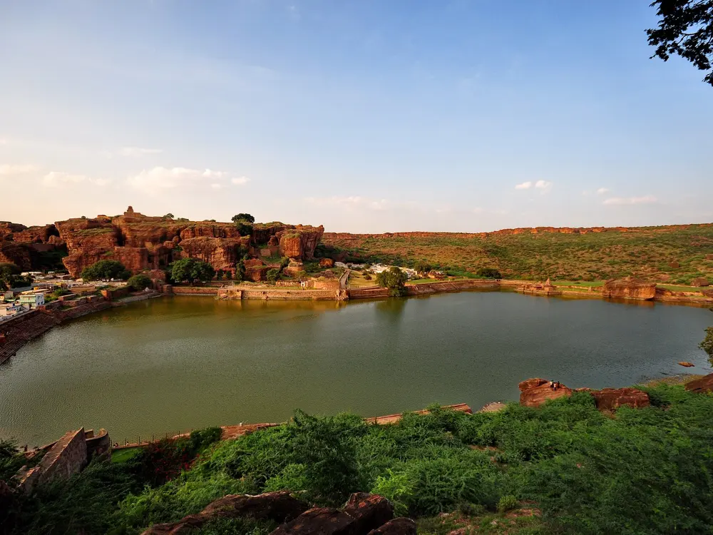
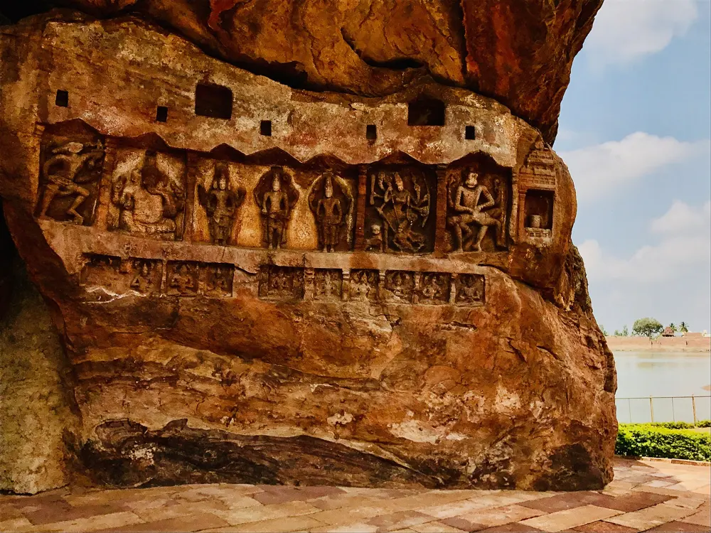
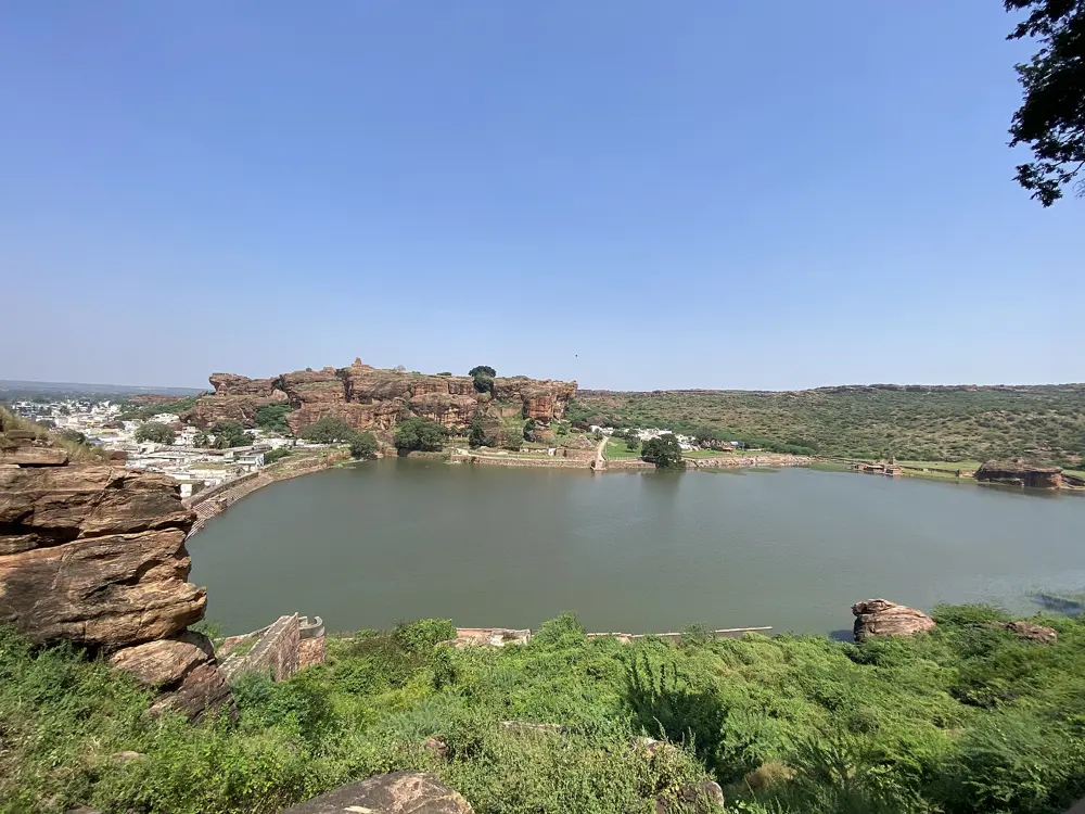
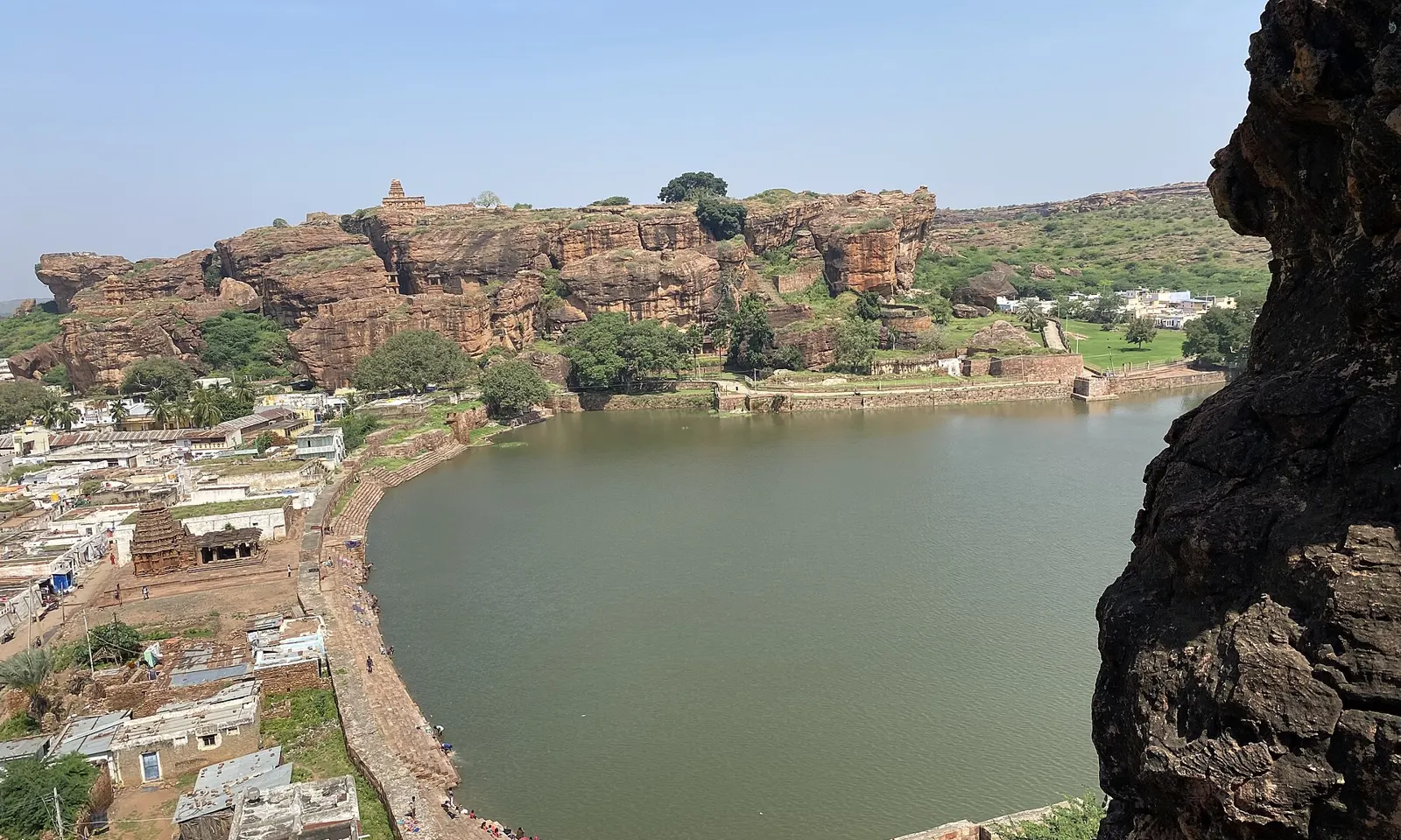
Red sandstone cliffs above Agastya Lake and the town of Badami

Photos: Vinayaraj (CC BY-SA 4.0), Abhijit Kar Gupta from Kolkata, India (CC BY 2.0), Ms Sarah Welch (CC0), Vinayaraj (CC BY-SA 4.0)

Rock
Red sandstone
Style
Bolted sport, single pitch, and some bouldering
Routes
More than 250 bolted
Grades
5b to 8b+

Why go

Badami is the place Indian climbers go for bolted routes. The town sits in a horseshoe of red sandstone cliffs around Agastya Lake, with sixth century cave temples cut into the rock above it, and the canyons behind the town hold a dense collection of hard sport routes. theCrag counts more than 250, about 40 percent of them bolted in the last three years, so the area is still growing. The sandstone is solid and fine-grained, and it has drawn French, American and Indian climbers since the first routes went up. Ganesh (8b+), long called India's hardest sport route, is here.

The route

The Temple area, a canyon with a Hindu temple inside it, is where most visitors start: Master of Biscuits (6a+) is the popular warm-up, and Finger Loop (6c+), Top Tree (7a), Sloper (7b) and Fridge (7c+) step up from there. The Ganesha area holds Ganesh itself, bolted by the French climber Alex Chabot and first climbed by Gérôme Pouvreau around 2010. He settled the grade at 8b+. Paige Claassen became the first woman to climb it, and Indian climbers including Tuhin Satarkar and Abhishek Mehta have since repeated it.

When to go

The best season is winter, October to February, when Karnataka Tourism gives temperatures of 18 to 28°C. March to May are very hot, often above 40°C, and climbing is only realistic early in the morning. June to September is the monsoon.

Getting there

Badami has its own railway station, a few kilometres from town, with direct trains to Bengaluru (overnight, about 10 to 11 hours), Hubballi and Goa. KSRTC runs overnight buses from Bengaluru's Majestic bus stand. The nearest airport is Hubballi, about 105 km away and about 2 hours by taxi.

Permits and booking

There is no climbing permit or fee. theTopo notes that climbing is not always permitted, and an older guide from Bikat Adventures advised getting permission from the local police because Badami is a heritage area. Stay away from the temples and protected monuments, and ask the local climbing group, Climbing Badami, which crags are open before you go.

How hard it is

Grades run from 5b to 8b+, with plenty in the 6s and 7s. Routes are single pitch and up to about 30 m. Some bolts are missing hangers, so bring your own 10 mm hangers and 10 mm nuts. Approaches cross a rocky plateau; all the sectors are now marked on OpenStreetMap, which offline map apps use.

Where to sleep

There are rooms of every kind in Badami town, and many climbers stay in homestays run by local climbers, who also arrange guides, belayers and gear hire. A 2025 trip report put the cost of living at 5 to 10 dollars a day at the minimum.

Tips

  • Contact Climbing Badami before you arrive: they coordinate guiding, lessons and gear, and know which sectors are open.
  • In the hot months, start by 7 in the morning and be off the rock by 11.
03 / 10

Rakchham

Sangla Valley, Kinnaur, Himachal Pradesh

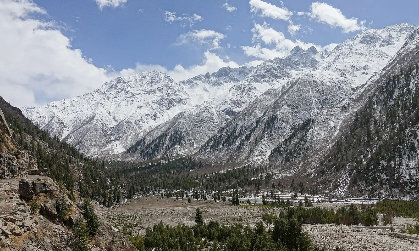
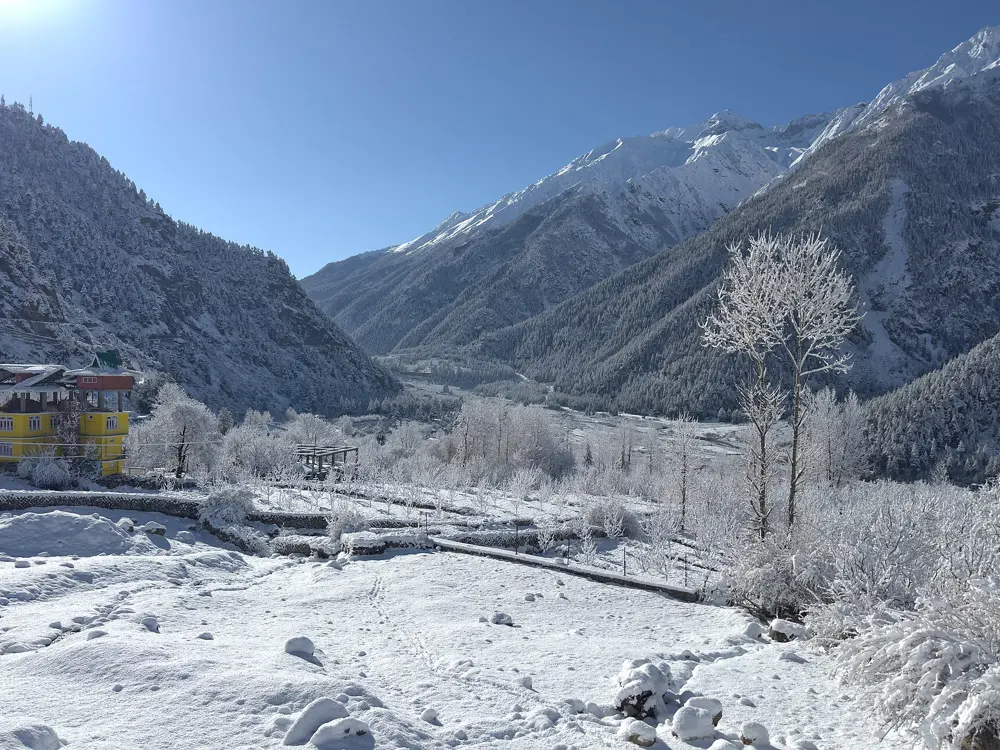
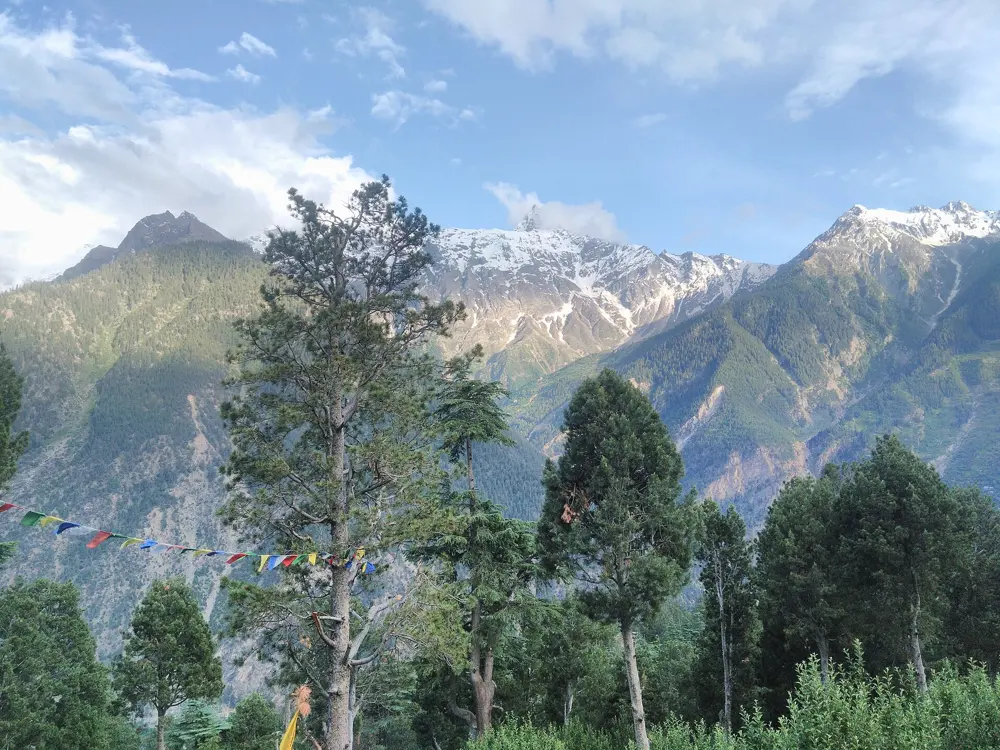
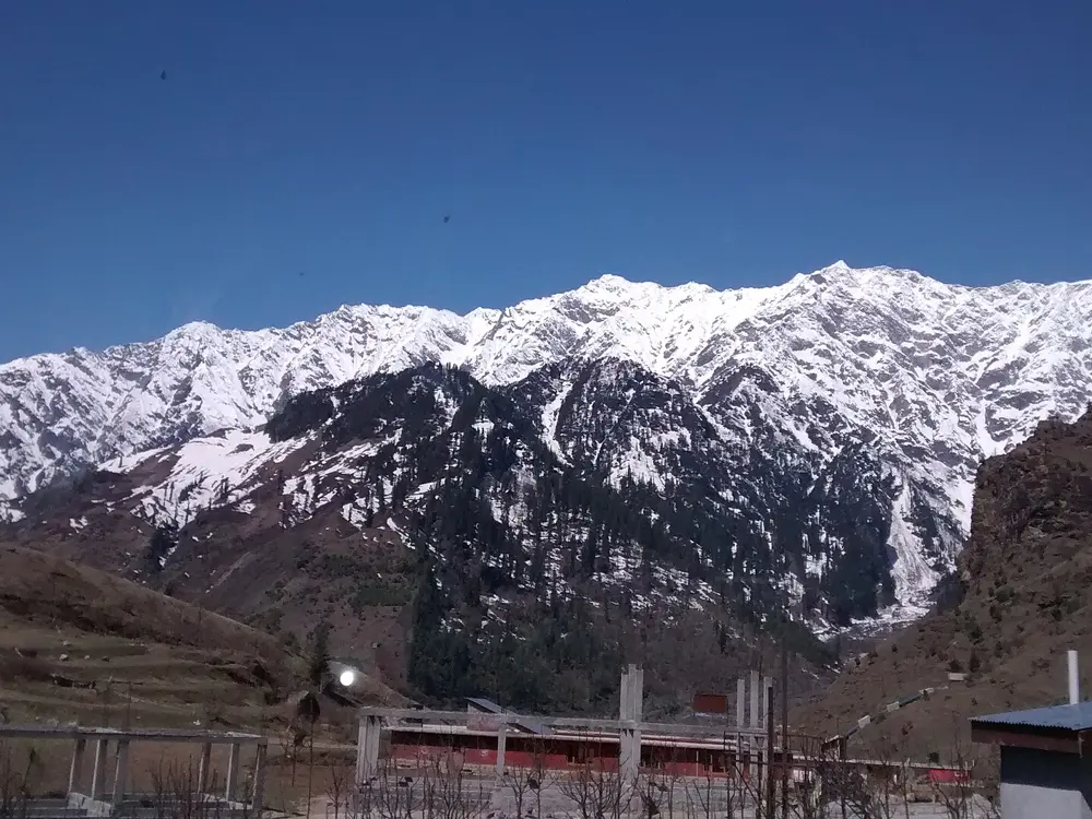
Snow peaks and forest in the upper Sangla Valley near Rakchham and Chitkul

Photos: Marsmux (CC BY-SA 4.0), UnpetitproleX (CC BY-SA 4.0), Aadrash Bhandari (CC BY-SA 4.0), Ashish Gupta from Noida, India (CC BY 2.0)

Rock
Granite
Style
Bouldering, with some cracks and sport routes
Problems
More than 560 in 14 sectors
Altitude
3,120 m

Why go

Rakchham is a small village at 3,120 m in the Sangla Valley, near the Tibetan border, with thousands of granite boulders scattered through its meadows and old forest beside the Baspa River and peaks of 5,000 to 6,000 m above. The Tyrolean climber Bernd Zangerl first set out for it in 2010 after seeing an old black and white photograph, and over about fifteen years he opened hundreds of problems, sketching the first topos in a school notebook. The village runs the climbing itself, with a permit that pays for local courses and projects.

The route

The problems run from 5A to 8C, with sectors for beginners and projects from 7C to 8B for the strongest. The boulders hold slabs, overhangs and highballs, and there are traditional cracks and a few sport routes on the walls above. The rock quality is unique and there is still a lot to climb. Zangerl's guidebook Rakchham, 226 pages with maps and topos, came out in November 2025 and covers more than 560 problems; the RMAC crew in the village also has overview topos and will suggest sectors for your level.

When to go

The main season is August to November, with the best friction and settled autumn weather. May and June are mostly sunny and warm and also good. July and August are rainy and humid, though climbing is still possible on many days. In April there is often still snow in the valley.

Getting there

Fly to Delhi, then take a taxi or night bus to Shimla, about 8 to 10 hours; stopping there for a night is recommended. From Shimla, a mountain taxi takes you on to Rakchham. A taxi booked from Delhi costs about 400 to 500 euros, less if you book it through Rakchham.

Permits and booking

A climbing permit is required, bought at your hotel or homestay or from RMAC on arrival. The fee is 110 US dollars or 100 euros for visitors from outside India, 6 dollars or 6 euros a day for short stays, and 100 rupees a day for Indian climbers, with half price for students and free entry for children. It includes one free guiding day. Camping is strictly forbidden, climbing in the forest at night is not allowed, and many places higher in the mountains are sacred and closed.

How hard it is

There is something for every level, from easy 5A problems to 8C. The village asks every visitor to hire a guide for the first two days to learn the trails and sectors, to keep to marked paths, and to ask the guides before trying first ascents or bolting, since some spots are off-limits.

Where to sleep

Accommodation in the village is limited, so book early. The Rupin River View Hotel is the main option, and homestays cost about 1,000 to 2,000 rupees a room per day. Tap water comes from high springs and is good to drink.

Tips

  • Bring your own crash pad: only a few are for hire, at 200 rupees a day for a small one and 300 for a big one.
  • Bring a brush and remove your tick marks, as the village asks, and play no music in the forest.
04 / 10

Ladakh: Shey Rock and the Suru Valley

Leh and Kargil districts, Ladakh

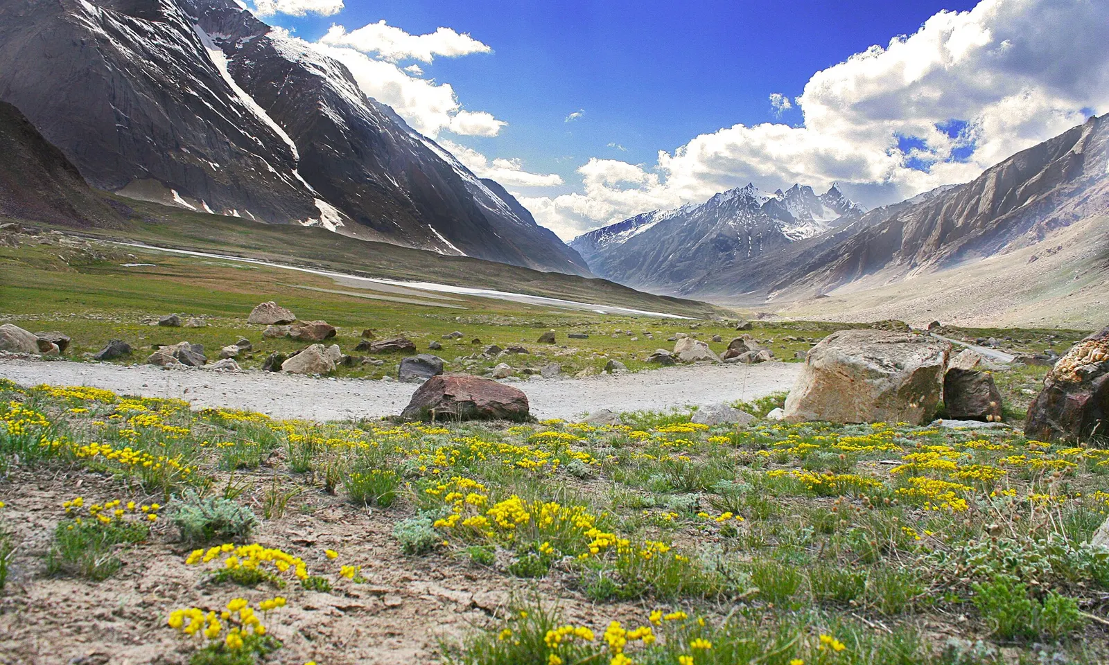
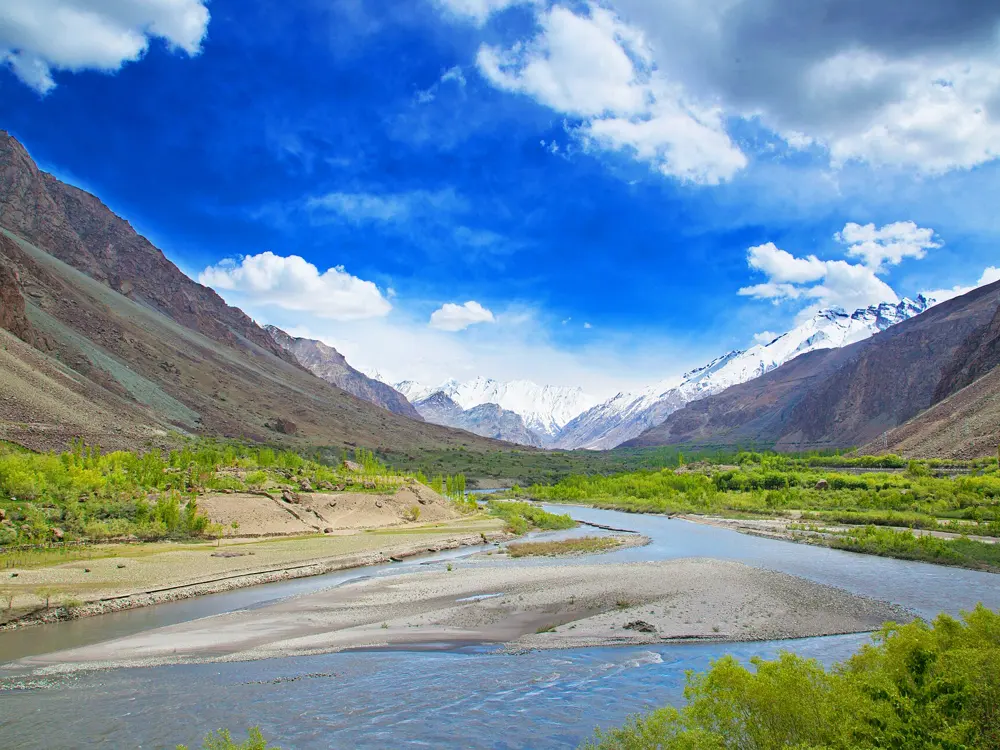
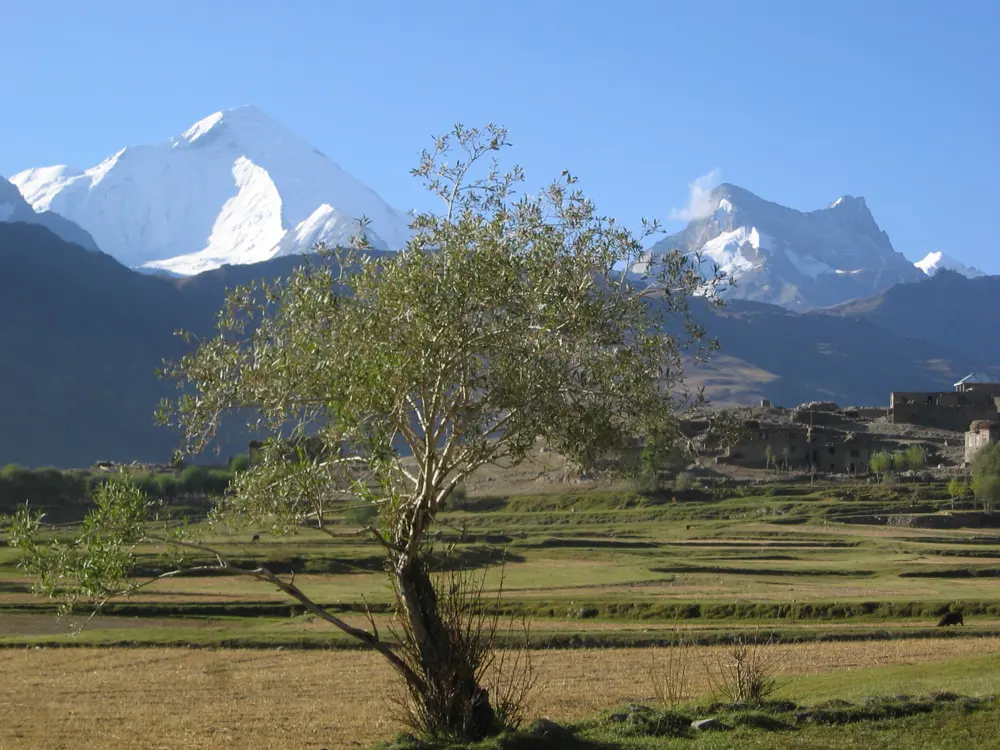
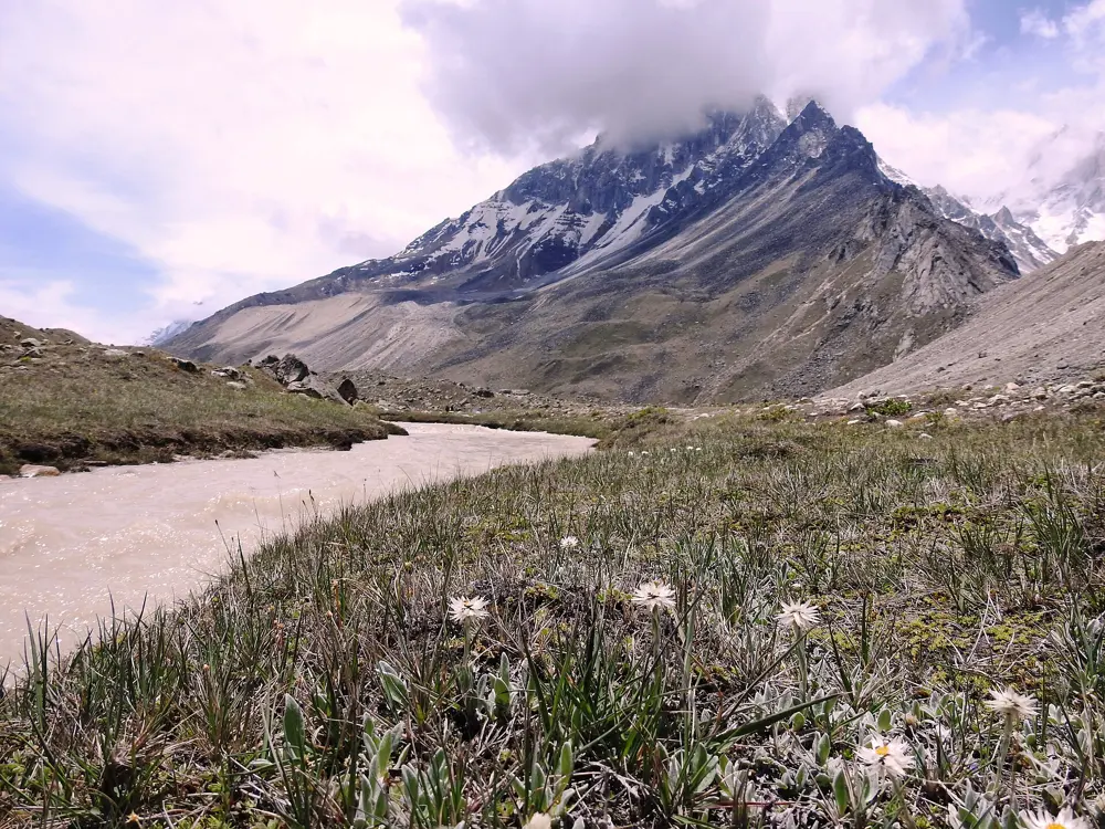
Wildflowers and boulders in the Suru Valley, Ladakh, below snow peaks

Photos: Narender9 (CC BY-SA 4.0), Anilharnal (CC BY-SA 4.0), Narender9 (CC BY-SA 4.0), Malikbek (CC BY 3.0)

Rock
Monzogranite at Shey, greenschist in the Suru Valley
Style
Sport and trad cragging, high-altitude bouldering
Altitude
About 3,350 m at Shey
Season
Summer, with the Suru boulders best July to September

Why go

Ladakh is high desert climbing on the far side of the Himalaya, under brown mountains and a very blue sky. Leh, the capital, has a small climbing gym and a local scene that has grown fast, and the granite crag at Shey, 20 minutes down the Indus, is where most visitors first tie in. Further west, in the Suru Valley near Kargil, Ladakhi climbers found a field of green schist boulders in 2011, now home to the Suru Boulder Fest.

The route

Shey Rock is monzogranite, often compared to Joshua Tree, with roughly 40 routes, most of them closely bolted sport routes and some trad. Classics include Push, Pull, Pray (6a), the three-pitch Leh'd Back (6a+) and The Frying Pan (6c). In the Suru Valley the boulders sit on both banks of the Suru River, about 40 km from Kargil. The first Suru Boulder Fest, in 2016, was organised by the Terranava collective and GraviT of Leh, and by the fourth, in 2019, about 150 climbers were expected, with crash pads under most boulders. In 2015 the Swiss climber Pirmin Bertle climbed Bacteria (8B+), then called the hardest boulder problem in India.

When to go

The climbing season is summer. The best months for the Suru boulders are July to September, and the 2019 festival ran from 25 August to 7 September. At Shey most cliffs face southeast, so in the hottest months the rock bakes in the morning and the better climbing is in the afternoon, when a breeze usually picks up. Winter is very cold.

Getting there

Leh can be reached by plane, or by road in summer. Shey is about 20 minutes south of Leh by taxi; ask the driver to wait or arrange a pickup, or ride out with GraviT, who also lend gear. Leh sits at about 11,000 feet and roads in Ladakh climb to nearly 18,000 feet, so spend your first days acclimatising before you climb.

Permits and booking

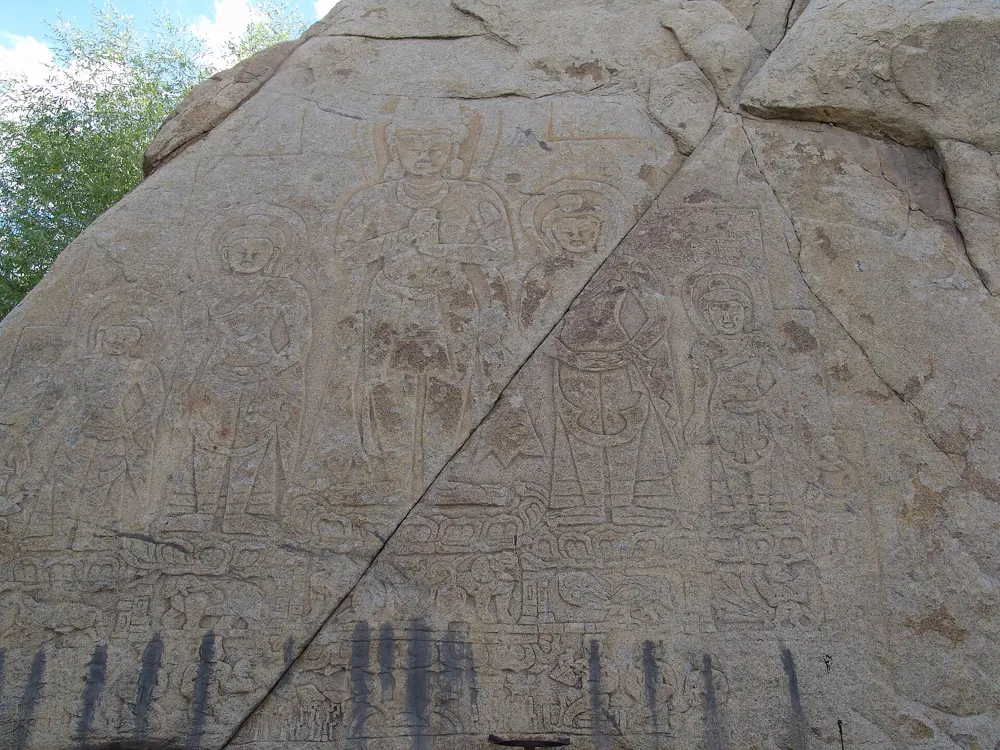
No climbing permit is needed at Shey. Since 2021 Indian nationals no longer need an Inner Line Permit for Ladakh's protected areas. Travel guides say no permit is needed for Leh and its surroundings or for the Suru Valley, while foreigners need a Protected Area Permit for places such as Nubra, Pangong and Tso Moriri, arranged through a registered agent in Leh. Buddhist carvings are scattered on the cliffs and boulders at Shey: never climb on them.

How hard it is

Shey's routes run from about 4c to 6c, which makes it a good crag for moderate climbers and for courses; local guides and the army teach basic climbing there. The Suru boulders run from easy problems to 8B+. Altitude is the main difficulty, so give yourself time to acclimatise.

Where to sleep

Leh has hotels and guesthouses of every kind and is the base for Shey. For the Suru Valley, the festival runs a camp with drinking water, toilets and a kitchen, and Kargil is the nearest town.

Tips

  • Start at the GraviT gym in Leh: it is where the local climbers are, and it can lend gear and arrange transport to Shey.
  • Bring your own crash pad for the Suru Valley outside festival time: the boulders are remote, and Kargil is the nearest town.
05 / 10

The Sahyadri pinnacles

Lonavala, Raigad and Harishchandragad, Maharashtra

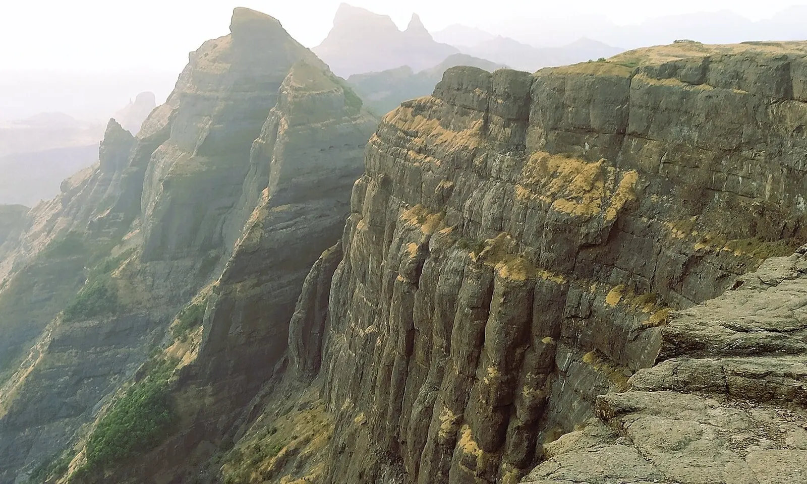
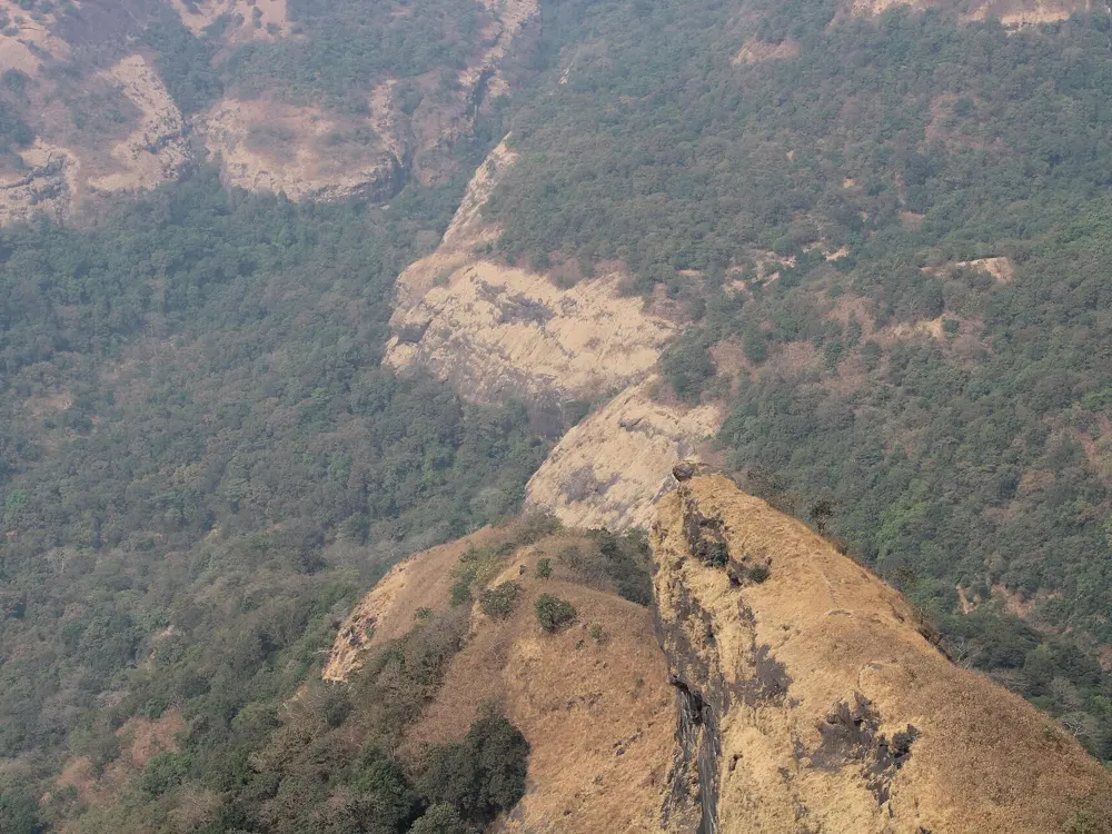
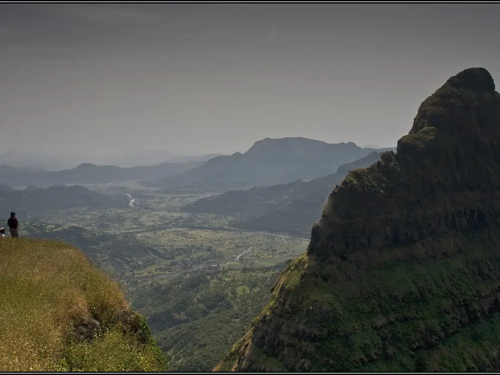
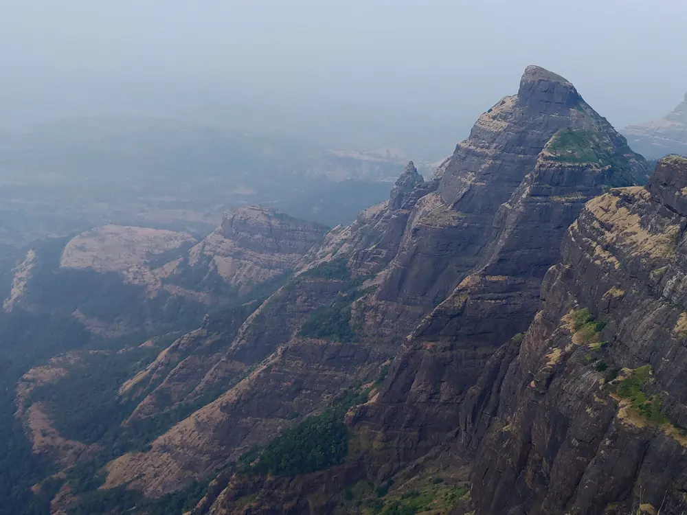
The basalt cliffs of Konkankada at Harishchandragad in the Sahyadri

Photos: Super Trekkers (CC BY-SA 4.0), Trusharm512 (CC BY-SA 4.0), rohit gowaikar (CC BY-SA 2.0), solarisgirl (CC BY-SA 2.0)

Rock
Basalt
Style
Pinnacles, multi-pitch sport and big walls
Classic
Duke's Nose, 5 pitches, 6b
Season
November to March

Why go

The Sahyadri, the Western Ghats of Maharashtra, have a climbing tradition all their own. Hundreds of flat-topped basalt hills between 500 and 1,500 m rise above the Konkan, many crowned by old forts, and between them stand pinnacles a few hundred feet high that clubs from Mumbai and Pune have climbed for decades. Traditional pinnacle ascents take two or three days and are graded simply Easy, Moderate or Hard.

The route

Duke's Nose, known locally as Nagphani, the cobra's hood, is a pillar of about 300 feet on the edge of the ghats near Lonavala. Its classic route is five bolted pitches at 6b, mostly around 5c with one harder crux, and Skyhook (7b, five pitches) takes a harder line up the same face. Lingana, a 2,969 foot spire next to Raigad, is called the most challenging natural rock climb in the Sahyadri; the usual approach climbs to the Lingana col and then up the pinnacle, with a rappel on the way down. Konkankada, the curved cliff below Harishchandragad fort, is about 600 m high and more than 1.5 km long. It was first climbed in 1985 by a Mumbai team over 17 days, and in 2014 a team of three climbed it almost free at up to 7b.

When to go

November to March, with January the best month. April and May are too hot except for shaded walls or early mornings. June to October is the monsoon, with almost continuous rain, and it is not a climbing season: the approach paths become slippery and accidents are reported every year.

Getting there

Duke's Nose is near INS Shivaji at Lonavala, about 1 hour 30 minutes by road from Pune and 2 hours from Mumbai. From Lonavala railway station, an auto-rickshaw covers the 6 km to Kurvande village, and the walk from there to the top takes about an hour. For Lingana, take a bus or train to Mahad and then a bus to Panne village, or come from Pune to Singapur or Mohari village.

Permits and booking

None of the climbing guides we found mention a permit or fee for Duke's Nose or Lingana. Commercial outfits run abseiling trips on Duke's Nose, and clubs and adventure companies in Mumbai and Pune run guided climbs of Lingana. For Konkankada and other routes below forts, ask the local clubs about current access before you go.

How hard it is

The basalt feels soft on the hands but is often loose, with scree on the ledges, so helmets matter more here than on granite. Honeybees nest on many cliffs and have caused serious and fatal attacks on climbers and hikers.

Where to sleep

Lonavala and Khandala have hotels of every size for Duke's Nose. On the longer pinnacle climbs, climbers sleep in caves and temples near the base, as the pinnacle climbs have always done.

Tips

  • Duke's Nose is busy with hundreds of hikers and rappellers on weekends, so go on a weekday.
  • Pune clubs such as Giripremi have climbed and opened routes on dozens of pinnacles and are the best source of current beta.
06 / 10

Manali and Sethan

Kullu district, Himachal Pradesh

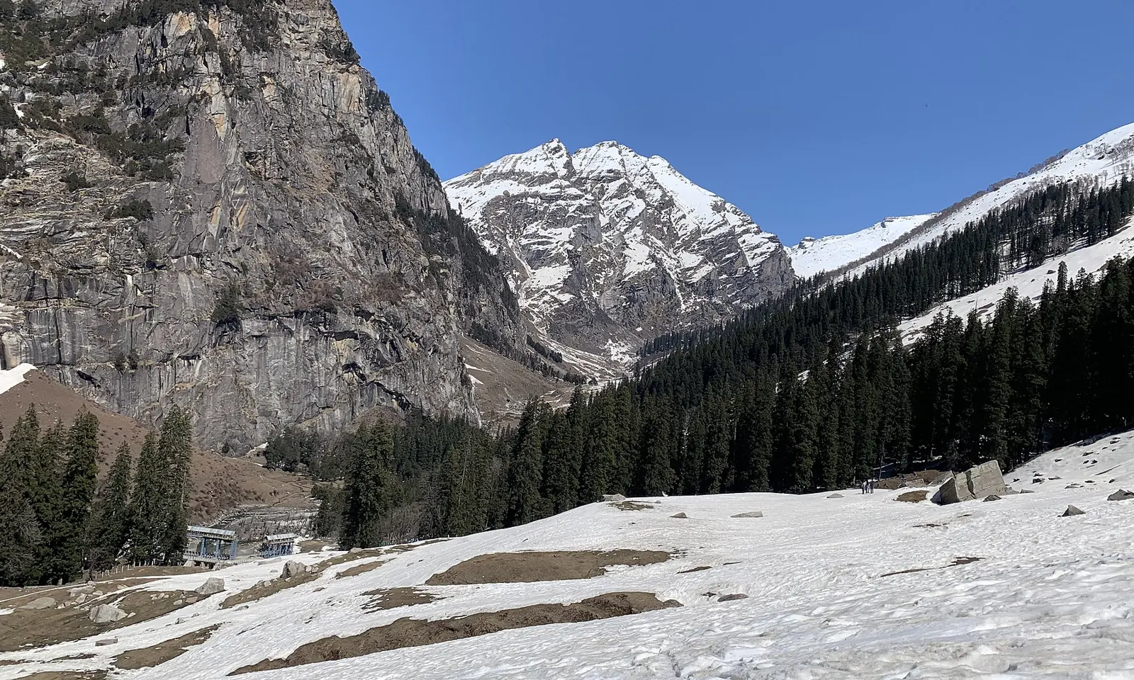
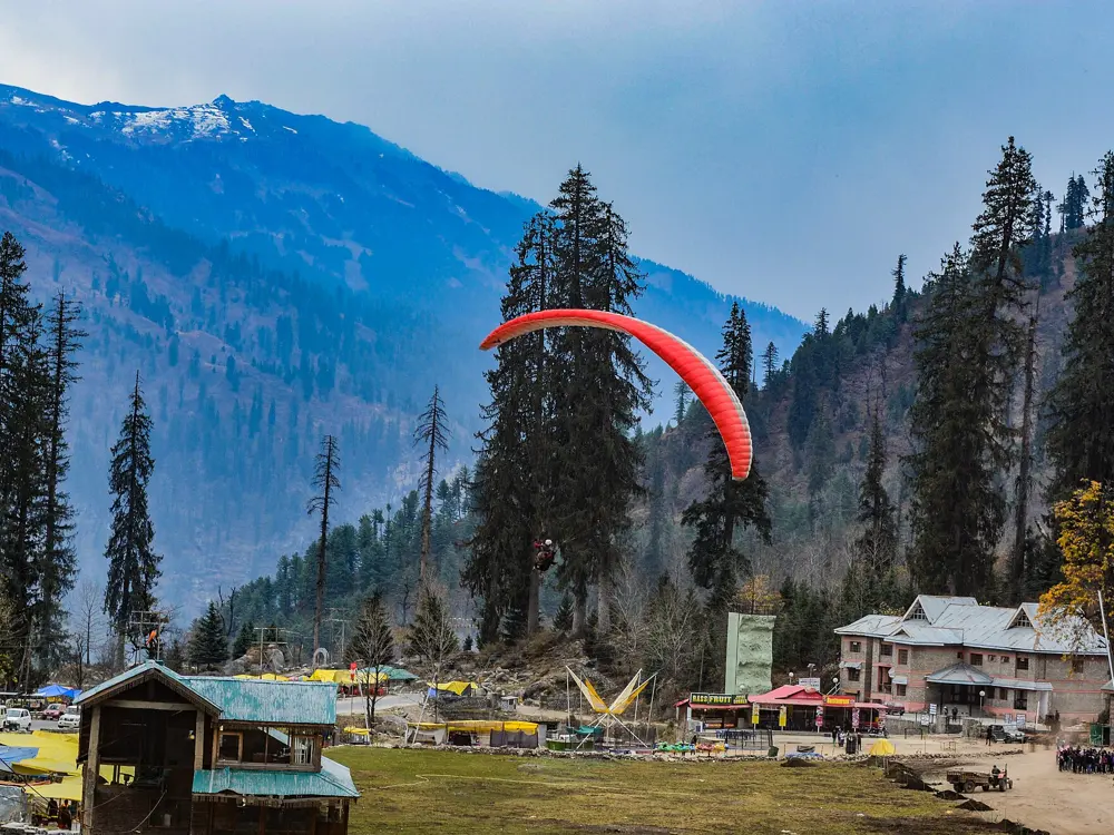
A rock wall and snow peaks above the forest at Sethan, near Manali

Photos: Catherine Lunaa (CC BY-SA 4.0), Shubhanshu at English Wikipedia (Public domain), Satyamrai7777 (CC BY-SA 4.0), Madhumita Das (CC BY-SA 4.0)

Rock
Granite and gneiss
Style
Bouldering, single-pitch sport and some trad
Altitude
About 2,000 m in Manali, 2,743 m at Sethan
Season
May to June and October to November

Why go

Manali, the mountain town at the top of the Kullu valley, is known for trekking and mountaineering, and it also has a good spread of bouldering, sport and trad climbing. Sport crags such as Chichoga and Aleo sit just across the river from the town, and 16 km up the hill, in the small village of Sethan, there is a forest of granite and gneiss boulders that climbers call a magical land of unlimited boulders. A few hundred problems have been developed there, several V12s among them, and there is an emerging rope-climbing scene on the walls above.

The route

Chichoga, possibly the best crag in Manali, has about nine bolted sport routes that get harder from left to right, from 5c to 6c+; you need to climb 5.11+ to do them all. Aleo, on the Naggar road, has a couple of good sport routes such as Crazy Four and White Stripe (both 6c) and a few grungy multi-pitch lines that need extra gear. At Sethan the boulders start at V0 and go up to V12, with Result of Envy (V10) among the best known, and the Tunna sector now has sport routes such as Bengaluru Hudugi and The Fox (both 5.10a), The Vermont Transfer (5.11a) and The Snake (5.11b).

When to go

At Sethan the seasons are May to June and October to November. April is possible but there may still be snow. The monsoon begins around early July and the weather clears around mid September. October and November are the best months, with temperatures of 0 to 15°C, and snowfall from late November or mid December ends the season.

Getting there

Direct buses run from Delhi and Chandigarh to Manali, most of them overnight. The nearest airport is Bhuntar, about 50 km south of Manali, but its flights are often delayed or cancelled. Chichoga and Aleo are reached by rickshaw across the river, then a short walk through the village lanes. For Sethan, take a taxi from Manali, about an hour up a winding road, or a local bus to Prini and a walk of 1.5 to 2 hours.

Permits and booking

No climbing permit is needed. The road from Prini to Sethan is private: private vehicles need a permit from the SDM office on Mall Road in Manali, with 150 issued a day on a first-come basis, while taxis from Manali need none.

How hard it is

The sport routes at Chichoga and Aleo run from about 5c to 6c+, which suits intermediate climbers; some are mossy and the beta is rough, so ask local guides for directions. The Sethan boulders cover every level up to V12.

Where to sleep

Manali has hotels and guesthouses of every kind; budget rooms cost about 12 to 15 dollars a night in summer. In Sethan, small guesthouses offer simple rooms and food. Phone reception there is very limited.

Tips

  • Bring about 12 quickdraws and a 60 m rope for Chichoga, where every route is sport.
  • Ask local climbers and guides for directions to the crags: no single source documents Manali's climbing in detail.
07 / 10

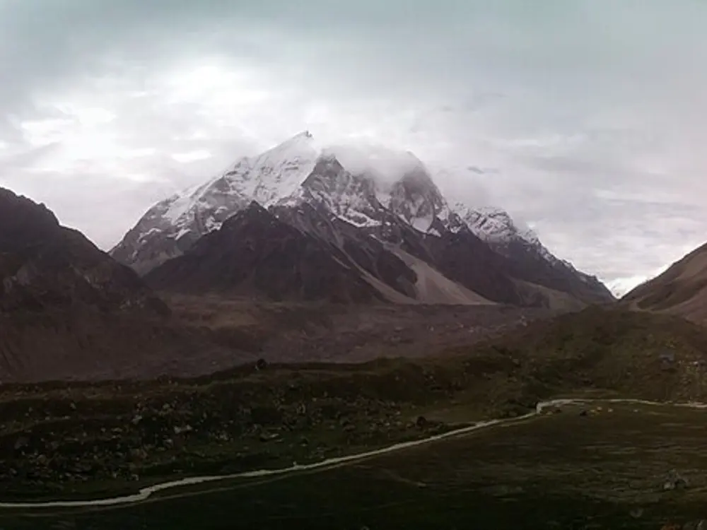
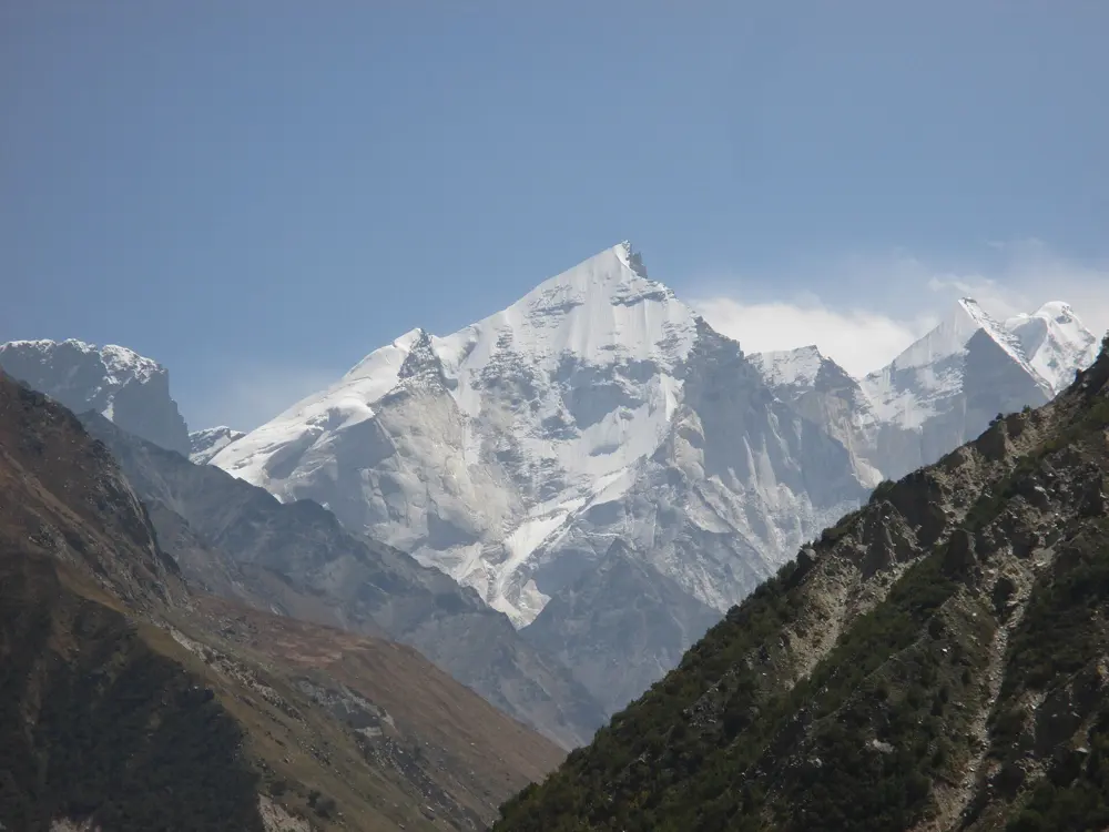
Gangotri: Shivling and the Bhagirathi peaks

Gangotri National Park, Uttarkashi, Uttarakhand

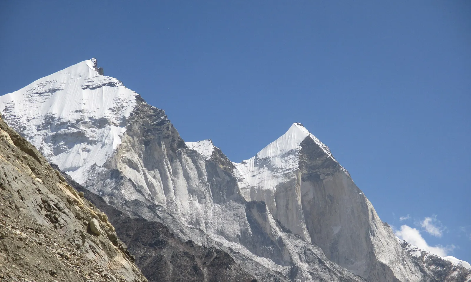
The granite faces of Bhagirathi II and III above the Gangotri Glacier

Photos: DipankarSen68 (CC BY-SA 4.0), Lokeshwar23 (CC BY-SA 4.0), Aditya.Asopa (CC BY-SA 4.0), DipankarSen68 (CC BY-SA 4.0)

Rock
Granite, with a band of brittle dark rock on the upper Bhagirathi peaks
Style
Alpine big walls
Bhagirathi III
6,454 m
Classic
Impossible Star, 29 pitches on the west face

Why go

At the head of the Gangotri Glacier, where the Bhagirathi River, the source of the Ganga, comes out of the ice at Gaumukh, stand some of the most celebrated big walls in the Indian Himalaya. Shivling, a twin-summited rock peak that early visitors called the Matterhorn Peak, rises above the meadow of Tapovan, and opposite it the triple Bhagirathi massif shows steep granite faces more than 1,000 m high.

The route

On Bhagirathi III (6,454 m) the west face is the great rock wall. A Catalan team made the first ascent in 1984, taking eight days over Impossible Star, 29 pitches at V to V+ with sections of A1 and A3; later parties praised its beautiful, athletic line on excellent granite. Janez Jeglič and Silvo Karo climbed the overhanging west face on 7 September 1990, and a Russian team spent 16 days on a new line up the centre of the 1,100 m face in 1998. Shivling was first climbed on 3 June 1974 by an Indo-Tibetan Border Police team via the west ridge, the least steep side, and since then at least ten other routes have gone up its ridges and faces, including the North Pillar by Hans Kammerlander and Christoph Hainz in 1993.

When to go

Expeditions climb before and after the summer monsoon. Shivling's first ascent was made on 3 June 1974, and many of the big-wall ascents were made in September, such as the west face of Bhagirathi III in 1990 and its north ridge on 15 September 2015. Conditions can still turn: increased icefall and avalanches turned back an expedition on Shivling's west face in September 2024.

Getting there

From Delhi, travel by road to Uttarkashi and on to Gangotri, the roadhead. From Gangotri the trail follows the Bhagirathi past Bhojbasa to Gaumukh, the snout of the glacier, and on to the meadows of Tapovan below Shivling or Nandanvan below the Bhagirathi peaks, where most expeditions put base camp. A British team in 1997 found Nandanvan a long day's walk before acclimatisation, and the foot of the west face still a good two hours beyond.

Permits and booking

You need a Gangotri National Park permit, from the forest office in Gangotri or online through the state's Single Window System; for Indian trekkers it costs 100 rupees and foreigners pay more. Since 10 September 2024 a licensed guide, insurance and a medical certificate are compulsory for the Gaumukh trail. Peak climbs also need a permit from the Indian Mountaineering Foundation, and foreign teams must take a liaison officer. There is no mobile signal, and satellite phones and InReach devices are forbidden, so plan for no communication at all.

How hard it is

These are expedition climbs at high altitude, for experienced alpinists only. The upper parts of the Bhagirathi peaks are a band of dark, brittle rock notorious for its looseness, and rockfall has injured strong teams, ending Paul Pritchard and Johnny Dawes's attempt on Impossible Star in 1990.

Where to sleep

On the trail, GMVN runs accommodation at Bhojbasa that should be booked in advance, and the Lal Baba Ashram there is an alternative. Above that, climbers camp: the grassy, stream-fed base camp at Nandanvan is the usual home for the Bhagirathi walls.

Tips

  • Do the last shopping in Uttarkashi rather than Delhi: it is far easier to buy basics there.
  • Drones are not allowed in the national park, and cameras may carry extra charges.
08 / 10

Ravugodlu and the Bangalore crags

Bengaluru and southern Karnataka

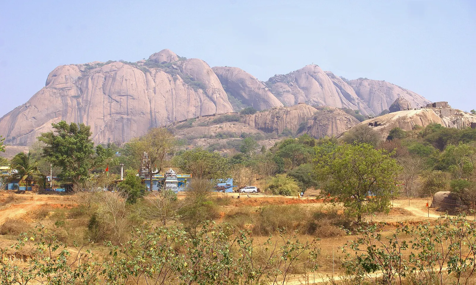
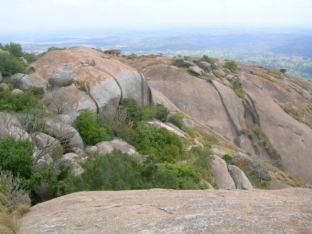
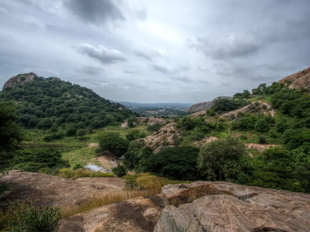
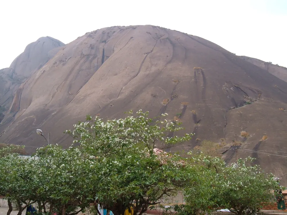
The granite domes of Savandurga rising above scrubland near Bengaluru

Photos: Pravega (CC BY-SA 4.0), Shyamal (CC BY-SA 3.0), Navaneeth KN from Bangalore, India (CC BY 2.0), Palash Ray (CC BY-SA 3.0)

Rock
Compact granite
Style
Bouldering, highballs, single-pitch trad and bolted routes
Distance
Ravugodlu is about 40 km from Bengaluru
Season
Late November to late February

Why go

Bengaluru is ringed by granite hills, and it has an active climbing community, with gyms, a volunteer bolting group and a guidebook published in January 2017. The rock is compact granite with few cracks, so the bouldering is crimpy and the roped routes are mostly bolted or mixed. Ravugodlu, the crag climbers have used for decades on the Kanakapura road, is a pretty active bouldering area, with loads of granite boulders and highballs of 20 to 60 feet, short cracks and slab routes.

The route

Ravugodlu, whose hill is properly called Yedumadu Betta or Muthurayaswamy Betta, has plenty of bouldering and roped climbs in the High Noon and Red Sea areas. The Sweet Smell of Guano (5.8) and Red Sea (5.9) are the classic trad lines, and the North-East Slabs have bolted routes around 5.8 to 5.10. Further out, Savandurga, a huge granite dome west of the city, has slab routes of 700 to 950 feet, such as Beladingalu (5.10a), its first bolted route, put up in 1991; some have run-outs of more than 15 m on easy ground. Ramanagara, the setting of the film Sholay, has pillars of granite with countless cracks, though much of it is now closed.

When to go

The best conditions are from late November to late February, with cool mornings and evenings, though daytime highs can still reach about 30°C. Savandurga's routes face mostly south or southeast and become very hot once the sun is on them, so start at dawn.

Getting there

Bengaluru has an international airport and trains and buses from across India. For Ravugodlu, drive south on the Kanakapura road; from the junction with NICE Road, stay on it for 15 km to the village of Yadamadu, then turn left onto the road for Stalin's Farm. Most other crags are one or two hours by car, depending heavily on city traffic.

Permits and booking

Access is the big question here. Climbing is prohibited at Ramadevara Betta, which is now a vulture sanctuary, apart from the Pond Walls with prior permission from the forest department. The Turahalli forest, once the city's local bouldering spot, has been closed to all climbing since May 2019. At Savandurga the forest department does not formally allow climbing, so the routes see little traffic. Mountain Project lists no access issues at Ravugodlu. Before you go anywhere, ask Bangalore Climbing Initiatives or the Bangalore Climbers group which crags are open.

How hard it is

The grades are moderate, and the classic roped routes are in the 5.8 to 5.10 range, but the style is demanding: tiny sharp crimps on the boulders, friction slabs and conservative bolting, with long run-outs on the multi-pitch slabs. Bring a light rack of cams and nuts as well as quickdraws.

Where to sleep

Climbers stay in Bengaluru and drive out for the day.

Tips

  • Join the Bangalore Climbers Facebook group for partners, beta and current access news.
  • Buy basic gear in the city at Decathlon or Wildcraft, but bring cams and specialist gear from home.
09 / 10

Darjeeling: Tenzing Rock and Gombu Rock

Lebong Cart Road, Darjeeling, West Bengal

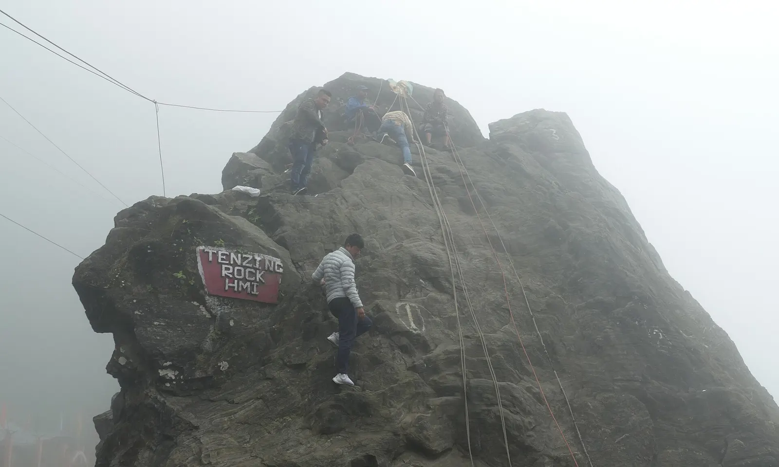
Climbers on the HMI training face of Tenzing Rock in the mist, Darjeeling

Photos: Ankur P from Pune, India (CC BY 2.0), Sumitsurai (CC BY-SA 4.0), Sujay25 (CC BY-SA 4.0), Pinakpani (CC BY-SA 4.0)

Rock
Two natural crags facing each other across the road
Style
Top-rope training climbs
Fee
100 rupees a climb, paid to the guide
Distance
About 20 minutes by taxi from Darjeeling town

Why go

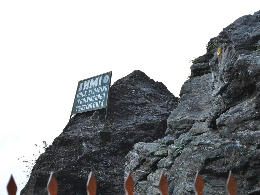
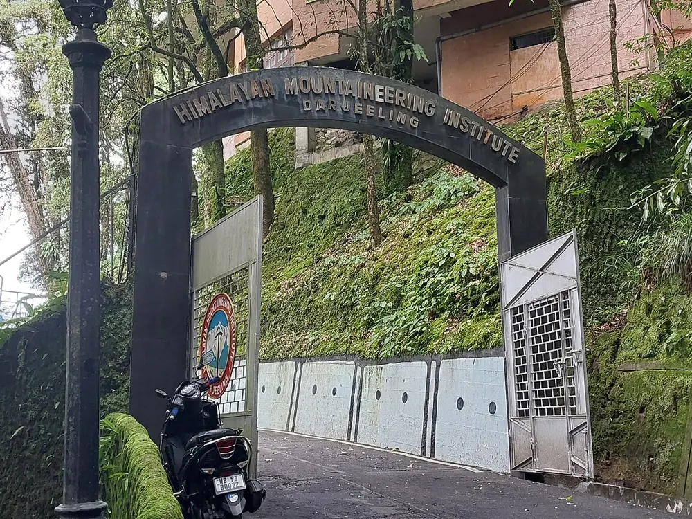
After Tenzing Norgay and Edmund Hillary reached the top of Everest on 29 May 1953, Jawaharlal Nehru set up the Himalayan Mountaineering Institute in Darjeeling, on 4 November 1954, and Tenzing became its first Director of Field Training. The institute has used the two big crags on Lebong Cart Road, one named after Tenzing and the other after his nephew Nawang Gombu, the first man to climb Everest twice, as its rock-climbing training ground, and a board on top reads HMI Rock Climbing Training Area. Visitors can climb here too, on the easier face, with a local guide.

The route

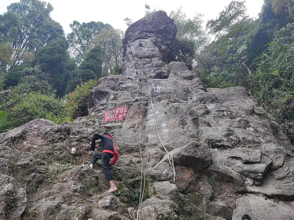
Tenzing Rock has two sides. The steep, almost vertical left face rises high above the road and is kept for professional climbers and HMI trainees; Tenzing practised here, and once climbed it without any safety gear in front of Nehru. The gentler right face is for visitors: guides hold the rope at the top and bottom, and you climb on a top rope. Gombu Rock, directly opposite, is also steep, though less intimidating, and is used with Tenzing Rock for HMI courses. The Indian Army holds an annual rock-climbing competition on Tenzing Rock, and in 2010 an army climber reached the top in 35 seconds.

When to go

The rocks are open daily from sunrise to sunset. Both get slippery with moss during and after the monsoon, so the drier months are better; staff sometimes clean the moss and powder the holds.

Getting there

The rocks are on Lebong Cart Road in North Darjeeling, about 20 minutes by taxi from the town. Darjeeling is 88 km by road from New Jalpaiguri station, which has direct trains to Kolkata, Delhi and Guwahati, and about 90 km from Bagdogra airport, with flights from Kolkata, Delhi and Guwahati. Shared and hired jeeps and prepaid taxis run up from Siliguri, NJP and Bagdogra.

Permits and booking

Entry is free. Climbing the right face of Tenzing Rock costs 100 rupees a person, paid to the guide, and a guide is required. The left face and Gombu Rock are reserved for professional climbers and HMI trainees. To learn properly, apply for one of HMI's courses, which are open to Indian and foreign students within the age limits.

How hard it is

The visitors' climb on the right face is easy and roped from above, so it suits first-timers. The left face is steep and serious, and is climbed only on HMI courses and by experienced climbers. HMI's subsidised Adventure, Basic and Advanced courses are the way to go further.

Where to sleep

Darjeeling has hotels and homestays of every kind. Combine the climb with a visit to HMI on Jawahar Parbat, with its museum and Tenzing's memorial.

Tips

  • Tea and momo stalls set up beside the right face, so bring cash.
  • Many visitors only see the busy right face: walk round to look at the steep left face and at Gombu Rock across the road.
10 / 10

The hills of Purulia and Bankura

Purulia and Bankura districts, West Bengal

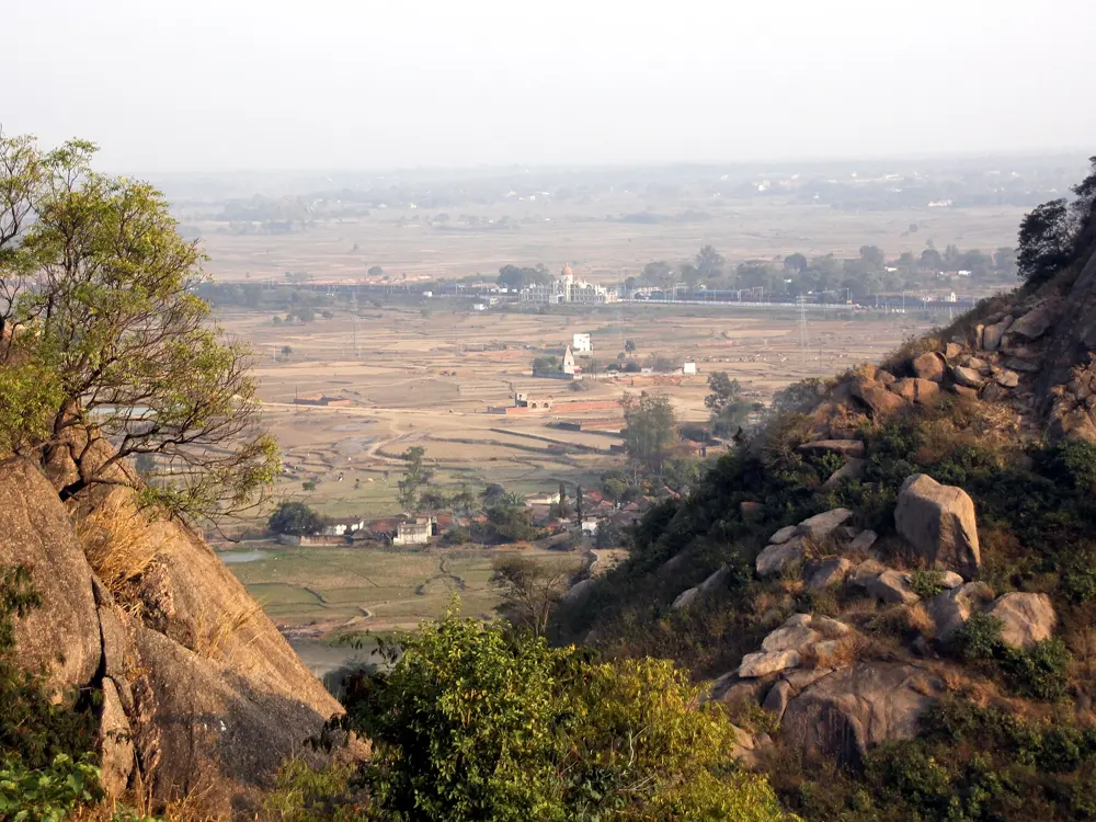
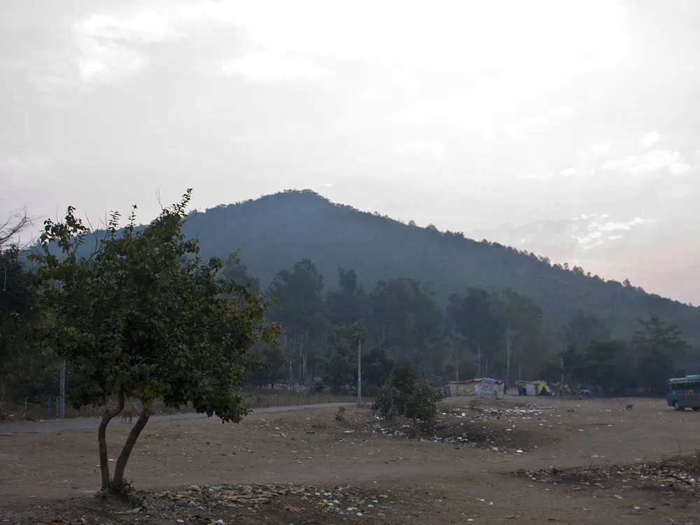
The rocky dome of Joychandi Pahar rising above the plain in Purulia

Photos: Paul Hamilton (CC BY-SA 2.0), Paul Hamilton (CC BY-SA 2.0), Indrajit Das (CC BY 4.0), Bodhisattwa (CC BY-SA 4.0)

Crags
Susunia, Joychandi, Mathaburu and the Bansa hills
Style
Slabs, faces and ridges used for club training
Tallest dome
Bansa Hill, about 280 m above the ground
Season
Winter, with camps from December to February

Why go

West Bengal has no high mountains but an unlikely love of mountaineering, and its climbers learn on the only rock near Kolkata: the hills of Purulia and Bankura, where the Chota Nagpur Plateau rises out of the flat plain. The Indian Mountaineering Foundation's handbook lists 101 mountaineering clubs in the state, and their winter training camps are so popular that the state's mountaineering foundation has run a lottery for climbing slots.

The route

Susunia, a 448 m hill in Bankura district with a holy spring and what is claimed to be the oldest rock inscription in West Bengal, is where Jadavpur University's club ran its first rock-climbing course in December 1966, and Caravan reported in 2017 that a camp is still held there every year. Joychandi Pahar near Raghunathpur, a hill crowned with temples, was used for advanced students. Mathaburu, in Purulia, was the main training ground from 1981. Further west, near Tulin on the Ranchi road, the Bansa hills have the tallest granite dome in the area, about 280 m high, and the Dhelburu, Rani Tungri, Majher Tungri and Chandni Pahar cluster, where courses in 2026 climbed at UIAA IV to VI on slabs, faces and ridges.

When to go

The climbing camps run in winter: recent courses were held in December 2024 and from 5 to 8 February 2026, and tourism guides say rock-climbing, camping and nature courses around Purulia are held in winter.

Getting there

Joychandi Pahar is 1.5 km from Joychandi Pahar railway station on the Asansol to Adra line, and 4 km from Adra Junction. Susunia is 10 km northeast of Chhatna, which is 13 km from Bankura town on the Bankura to Purulia road. The Bansa hills camp is about 7 km from Jhalda station and about 9 km from Muri Junction in Jharkhand.

Permits and booking

Most climbing here is organised by clubs. Since December 2019 the West Bengal Forest Department has charged fees for use of the forest sites around Mathaburu, heavy enough that Jadavpur University's club moved its courses elsewhere. Ask the forest department before camping at Matha, and climb with one of the local clubs, which handle access.

How hard it is

Routes are short and suited to training: gentle well-protected slabs for beginners, vertical faces for intermediate climbers and overhangs and technical ridges for the advanced, graded up to about UIAA VI.

Where to sleep

Clubs camp. Near the Bansa hills, Juno's camp has drinking water, cooking areas and sanitation and can house more than 100 people; the older Karilata site has only a foot trail and no water. For Susunia and Joychandi, most visitors stay in the nearby towns of Bankura, Raghunathpur and Purulia.

Tips

  • Join a winter course with one of the Kolkata clubs: it is the easiest way to climb here and the way most Bengali climbers start.
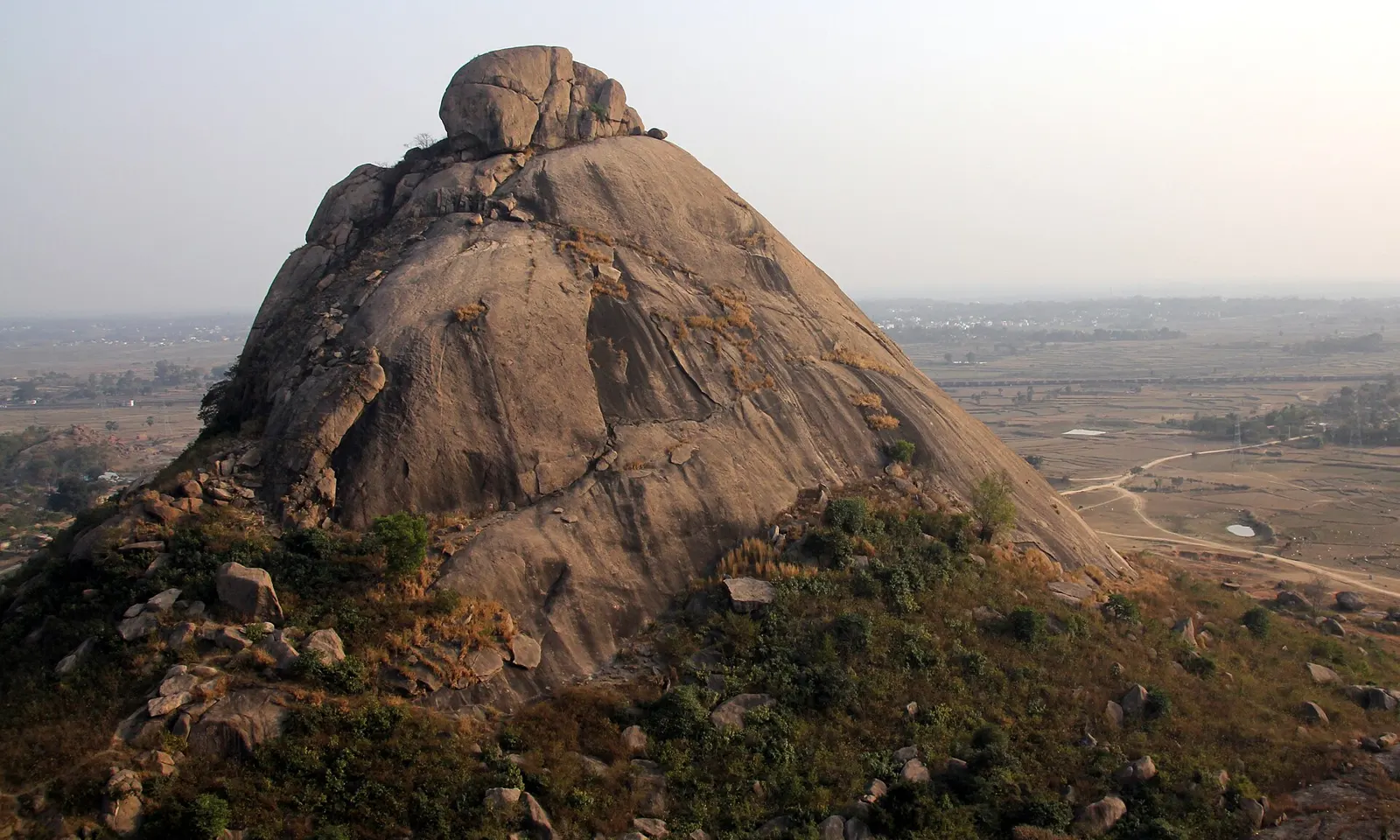
  • Joychandi has almost 500 steps up to the temple at the top and few facilities nearby, so carry water and food.

Sources

Distances, heights, seasons and permit rules were checked against these pages. Rules change, so check the park or trail authority before you go.