Rungs Labs

Rungs Pilgrimage · Climbing · Australia and New Zealand

The 10 Best Places for Rock Climbing in Australia and New Zealand

Mount Arapiles (Dyurrite), Wimmera, Victoria. Photo: Ed Dunens (CC BY 2.0)

Australia's best climbing is on old, hard rock: the quartzite of Mount Arapiles and Moonarie, the sandstone of the Grampians and the Blue Mountains, the rhyolite cracks of Frog Buttress and the dolerite of Tasmania, where the Totem Pole stands in the sea. New Zealand adds the limestone boulders of Castle Hill, the bolted limestone of Paynes Ford, the schist crags of Wānaka and the alpine diorite of the Darran Mountains in Fiordland. Both countries grade climbs with the Ewbank system of open-ended numbers.

Access is changing, especially in Victoria, where climbing at Arapiles and in the Grampians now follows cultural heritage plans and designated areas. For each place you get the rock, the classic climbs and grades, the best season, how to get there, the access rules, how hard it is and where climbers stay. Every fact comes from park agencies, climbing clubs, guidebook sites and the other pages linked at the bottom.

Updated 2026-10-19

  1. 01Mount Arapiles (Dyurrite)Wimmera, Victoria
  2. 02The Grampians (Gariwerd)Grampians National Park, Victoria
  3. 03The Blue MountainsKatoomba, Blackheath and Mount Victoria, New South Wales
  4. 04Frog ButtressMount French, Moogerah Peaks National Park, Queensland
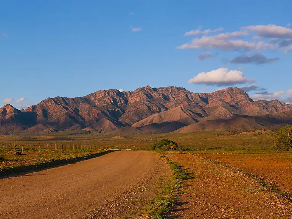
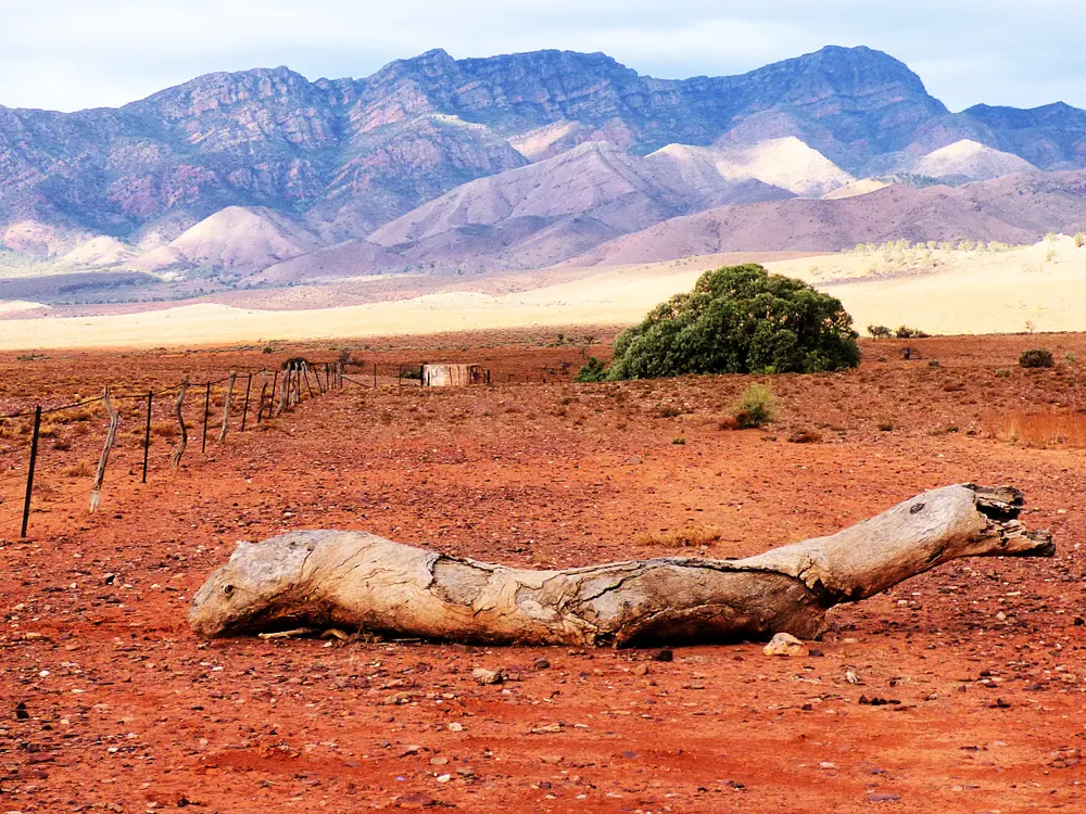
  5. 05MoonarieWilpena Pound (Ikara), Ikara-Flinders Ranges National Park, South Australia
  6. 06The Totem Pole and the dolerite of TasmaniaCape Hauy, Ben Lomond and kunanyi / Mount Wellington, Tasmania
  7. 07Castle Hill (Kura Tāwhiti)Castle Hill Basin, Canterbury, New Zealand
  8. 08Paynes FordTākaka, Golden Bay, New Zealand
  9. 09Wānaka and the Matukituki ValleyWānaka, Otago, New Zealand
  10. 10The Darran MountainsFiordland National Park, New Zealand
01 / 10

Mount Arapiles (Dyurrite)

Wimmera, Victoria
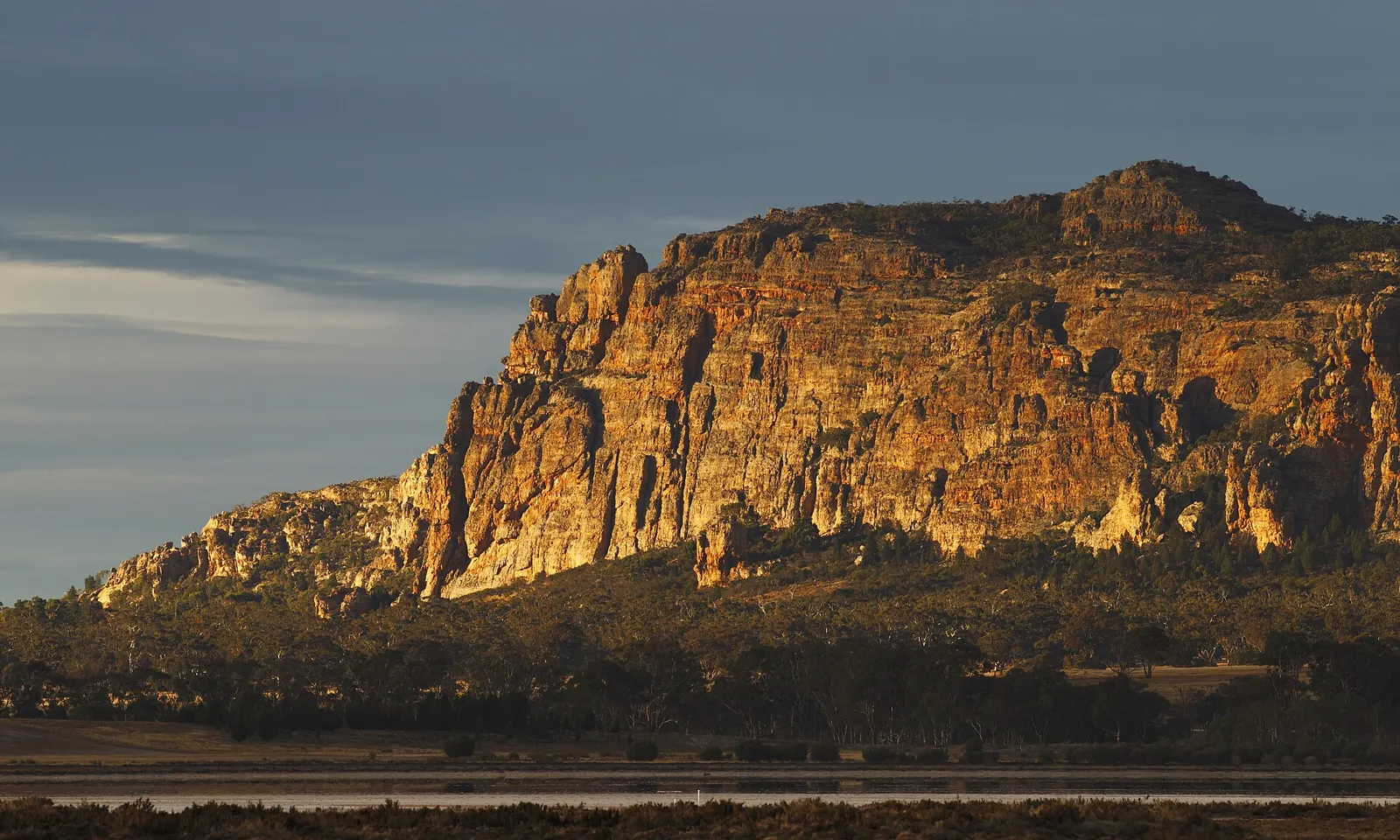
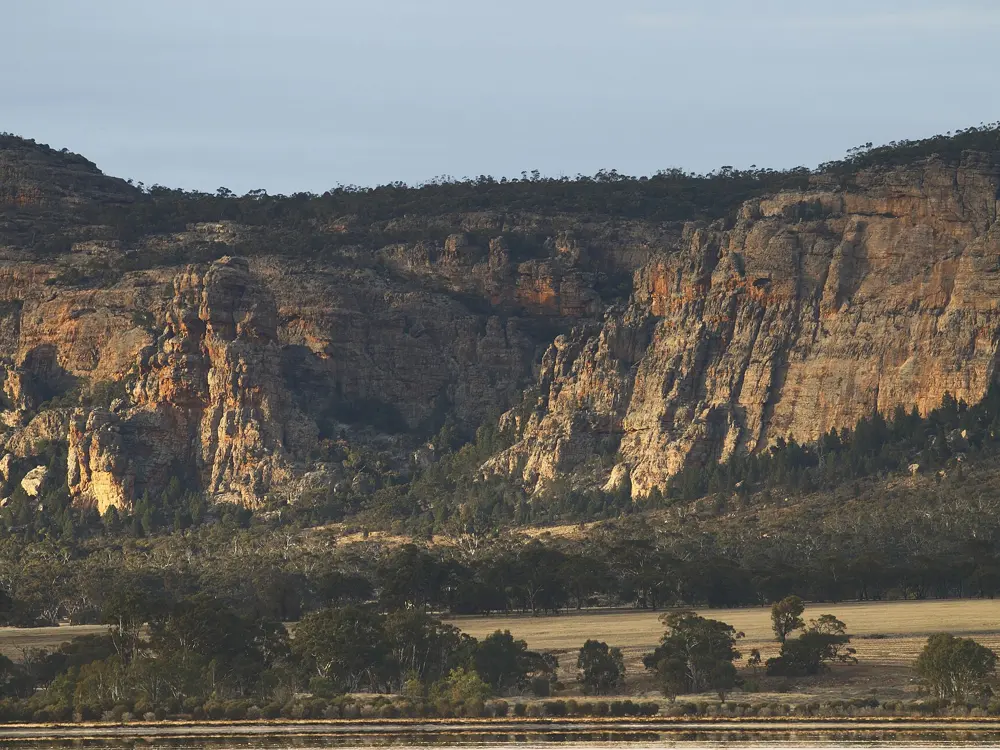
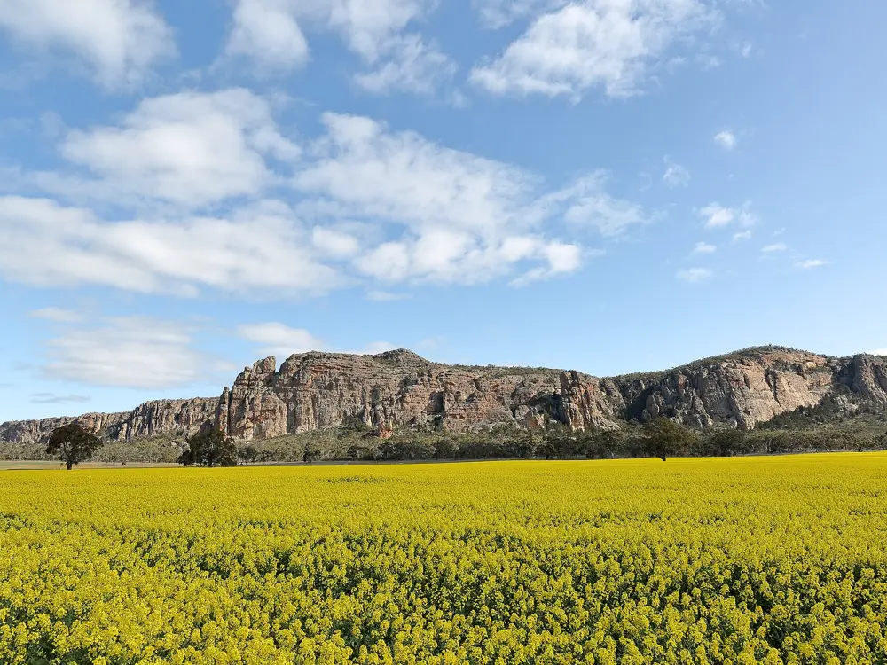
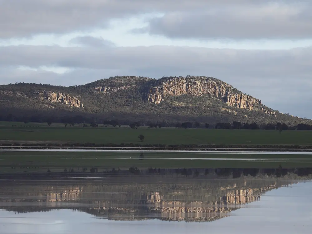
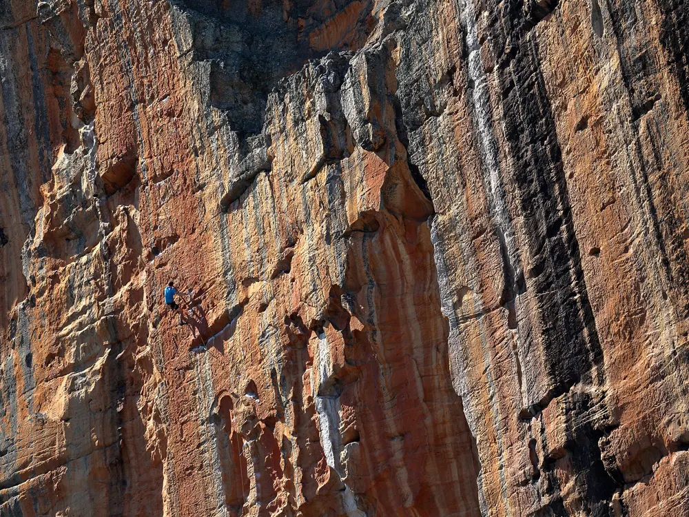
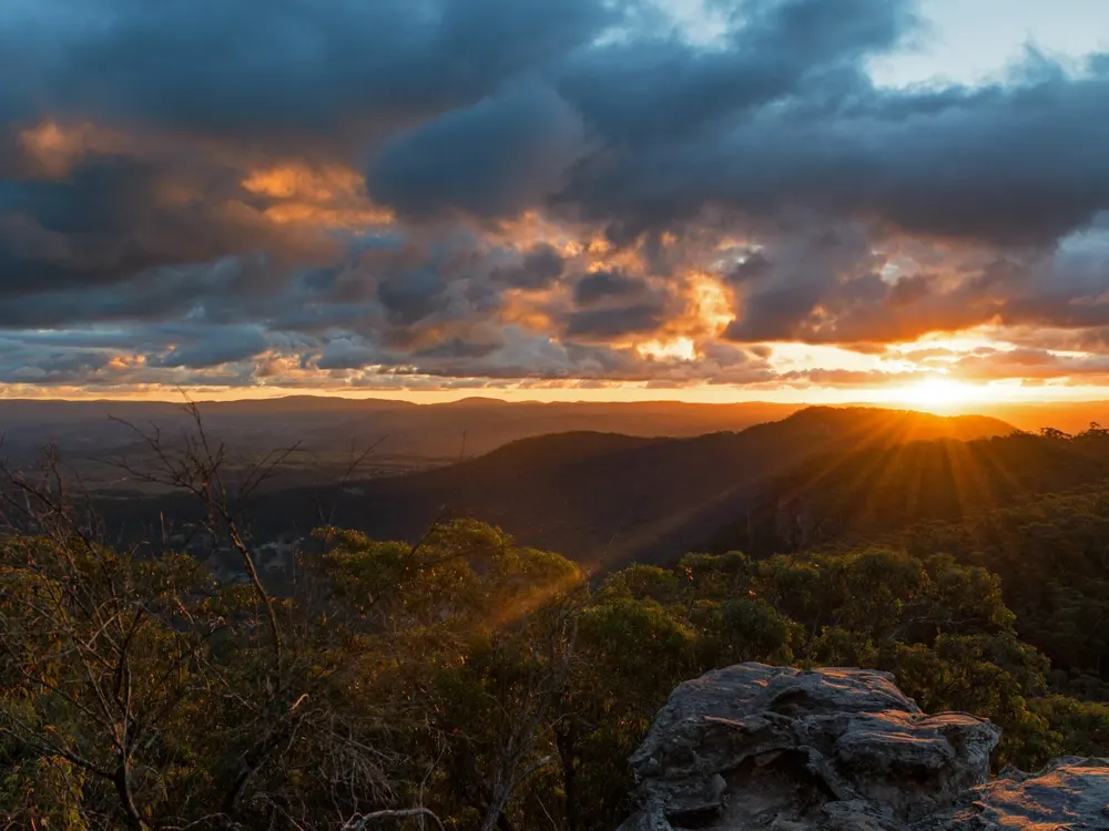
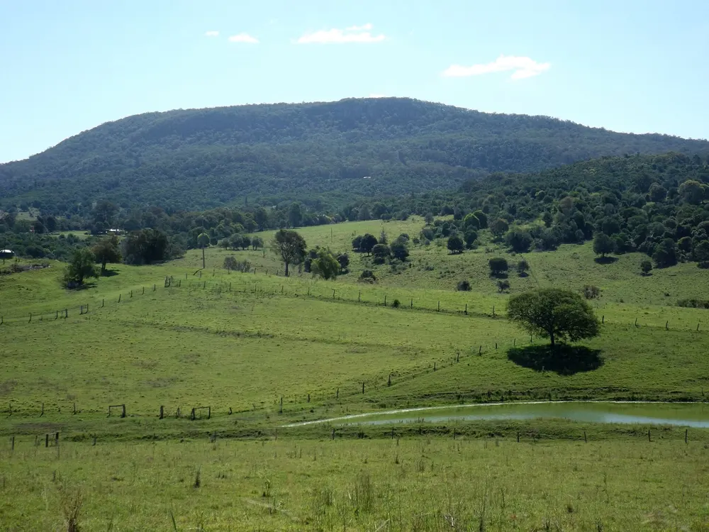
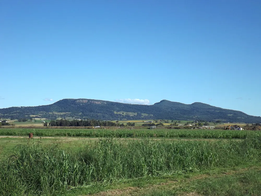
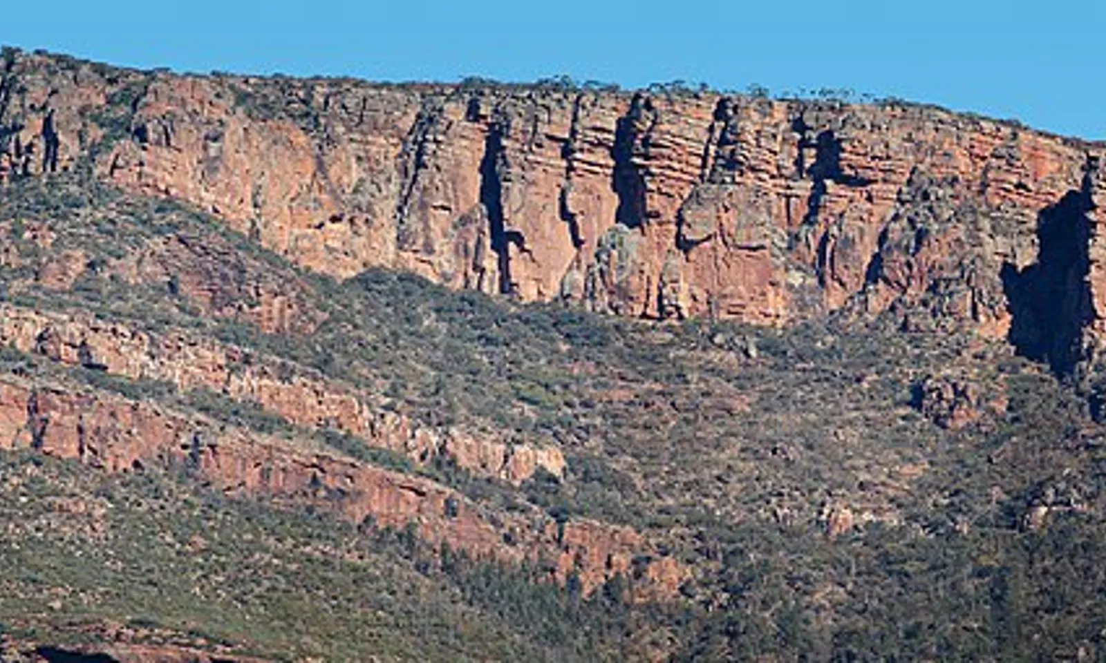
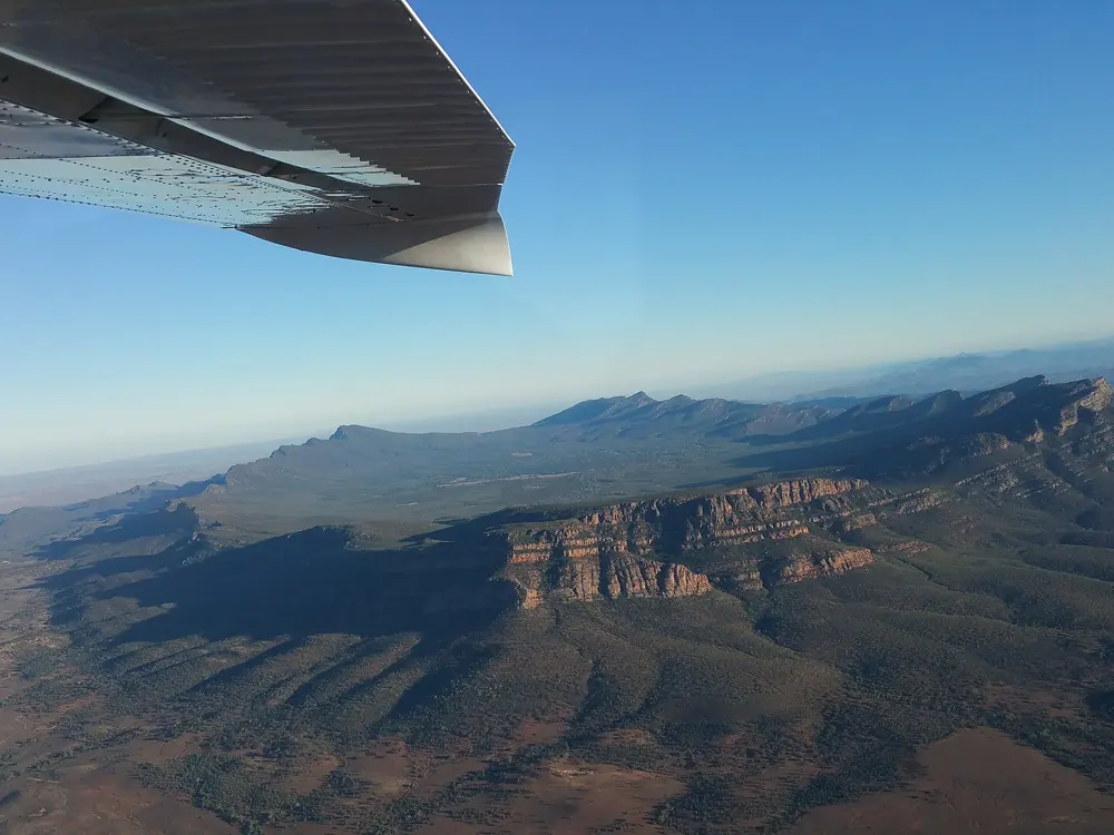
The orange quartzite cliffs of Mount Arapiles lit by low sun above the Wimmera plain

Photos: Ed Dunens (CC BY 2.0), Ed Dunens (CC BY 2.0), Ed Dunens (CC BY 2.0), Ed Dunens (CC BY 2.0)

Rock
Quartzite, about 140 m above the Wimmera plains
Style
Trad, single and multi-pitch, some sport from about grade 23
Routes
More than 3,300, about 98% open from October 2026
Best season
Autumn and spring

Why go

Dyurrite, the Wotjobaluk name for Mount Arapiles, is a ridge of hard orange quartzite rising about 140 m out of the Wimmera farmland, 10 km west of Natimuk. Since 1963 climbers have recorded more than 3,300 climbs on its buttresses and pinnacles, almost all trad. In 1985 Wolfgang Güllich climbed Punks in the Gym (32) on the Pharos, then the hardest climb in the world.

The route

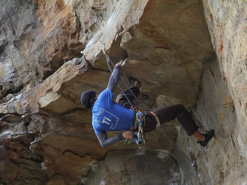
Grades are Australian (Ewbank). Start with Tiptoe Ridge (5) on the Pinnacle Face and The Bard (12), five pitches up Bard Buttress. Watchtower Crack (16) follows a clean crack on the Watchtower Faces, and Kachoong (21), in the Northern Group, is the famous roof. The Organ Pipes, near camp, hold many easier classics, and Castle Crag concentrates routes from 20 to 26.

When to go

Autumn and spring are best. In summer the sunny faces, the Watchtower above all, get very hot and climbers retreat to shady gullies. Winter is possible. Easter is the busiest week.

Getting there

The park is 334 km northwest of Melbourne by the Wimmera Highway, about four hours by car. Natimuk has supplies. V/Line coaches reach Horsham from Ballarat, but we found no bus to the park, so drive.

Permits and booking

No permit is needed, but the rules changed in October 2026, when the government approved a revised plan after a 2024 draft that would have closed over 60 per cent of the climbing. Mapped areas protecting Aboriginal cultural heritage are now closed to everyone, walkers included. About 80 climbs are closed and 46 rerouted, and about 98 per cent stay open. Closed outright are Brain Death Boulder, the Islamabad bouldering area and four Pharos boulders, plus listed routes on walls such as Pilot Error Wall and the Pharos. The old voluntary closures are gone. Temporary closures for peregrine falcon nesting still apply.

How hard it is

Nearly everything is trad, so bring a full rack with small wires. Many routes have abseil chains, and the Pharos has a 50 m free-hanging abseil. Australian grades are known for sandbagging, so start below your usual level. Heat is the main summer hazard.

Where to sleep

Centenary Park campground, below the cliffs, is the only camping in the park. Of its three areas, the Pines, under tall pine trees, is the most popular and fills on long weekends. Book through Parks Victoria. Dogs and caravans are not allowed, and wood fires are banned from 1 November to 30 April.

Tips

  • Download Parks Victoria's October 2026 Access Changes Summary. Its maps, not the route names, decide what is closed.
  • Bring drinking water, as the campground bore water tastes poor.
02 / 10

The Grampians (Gariwerd)

Grampians National Park, Victoria

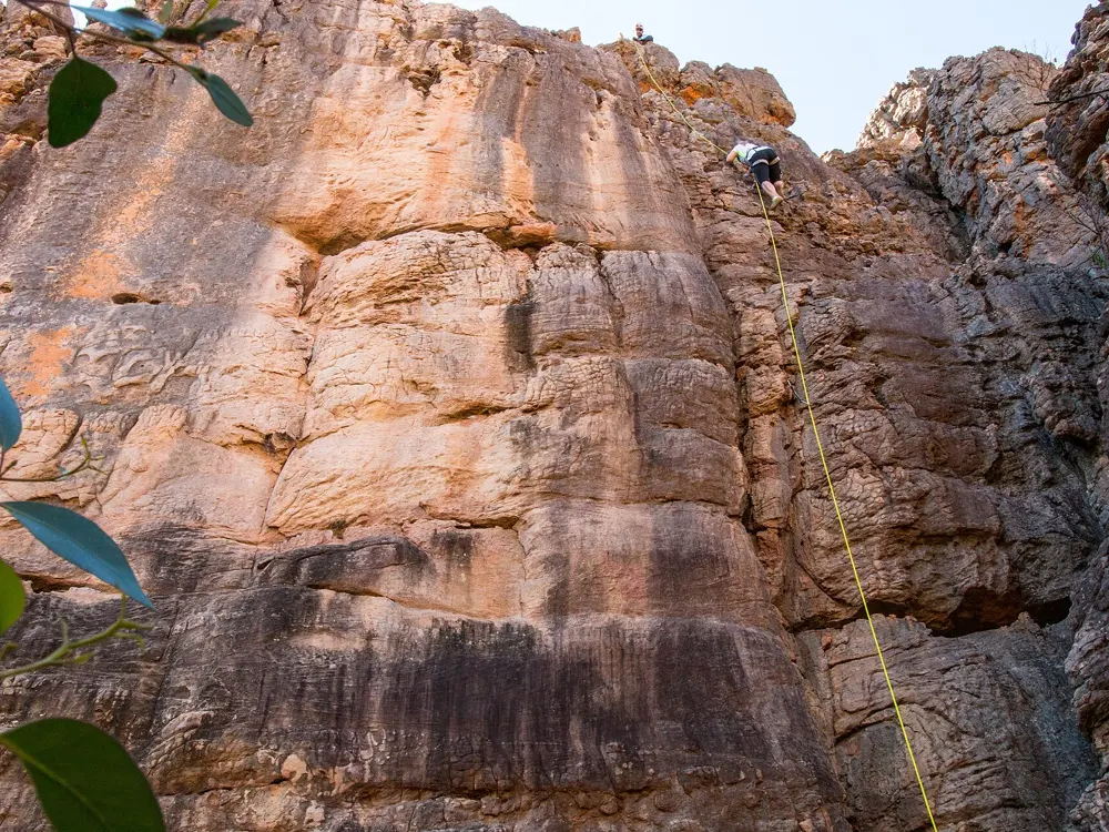
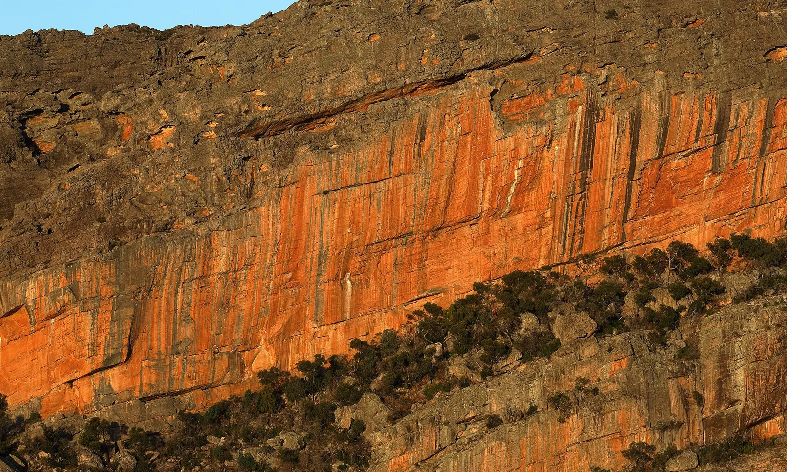
The orange sandstone of Taipan Wall in the Grampians lit by evening sun

Photos: Ed Dunens (CC BY 2.0), Ed Dunens (CC BY 2.0), Swongsy (CC BY-SA 4.0), Neb (CC BY-SA 4.0)

Rock
Sandstone
Style
Sport, trad and bouldering, in designated areas only
Routes
More than 4,800 recorded, up to grade 33
Drive
About 3 hours from Melbourne to Stapylton

Why go

Gariwerd is a group of sandstone ranges in western Victoria, and its orange, steep walls hold some of the finest climbing in the country. The best known is Taipan Wall (Gunigalg), an overhanging wall about 200 m long with routes up to 60 m high, which many climbers rate as the best crag in Australia. Climbing guides record more than 4,800 climbs across the ranges, from long easy ridges to Flower Power (33) in Muline Cave, the hardest route listed.

The route

Grades are Australian (Ewbank). The northern end around Mount Stapylton holds the steep sport climbing: Taipan Wall, the Stapylton Amphitheatre, Hollow Mountain and the Centurion Walls. Further south, Mount Rosea has the long moderate classics Mixed Climb (12, 120 m), Debutante (15) and Heretic (17), and Power Drive (14, 175 m) climbs Mount Abrupt. The Victoria Range holds Passport to Insanity (27, 135 m) at the Fortress, called by many the best climb in Australia, though the Fortress walk is closed after fire damage. Check every route against the park's list of designated areas before you set out.

When to go

Climbers use the Grampians all year: the sandstone dries quickly after a summer shower, and in winter climbers move into the caves. Bushfires in the summer of 2024 to 2025 burnt more than 135,000 hectares and damaged many climbing areas. The park reopened 18 priority areas in May 2025 and a further 17 in June 2026. Expect busy trailheads during the GPT 100 Miler on 5 to 8 November 2026.

Getting there

Stapylton, at the northern end, is about three hours' drive from Melbourne: take the Western Highway to Dadswell Bridge, turn onto Wonwondah-Dadswell Bridge Road about 5 km later, and follow Olive Plantation Road to the campground. You need a car to move between crags, and there is nowhere in the park to buy fuel, water or food except Halls Gap. Lodge Road is closed for roadworks from 13 October to 8 December 2026.

Permits and booking

Climbing is allowed only in the park's designated climbing areas, which include a small number of bouldering areas, and nowhere else. A free online climbing permit is being developed and will be compulsory once it exists. Taipan Wall is open in part, with some climbs closed or rerouted. Spurt Wall and Mountain Lion are closed for their cultural values, Tortoise Wall closed temporarily in April 2026, and part of the Centurion Walls is closed. Summer Day Valley is open only to licensed tour operators. Use as little chalk as you can, coloured to match the rock.

How hard it is

There is something at every grade, but the area is best known for steep, exposed climbing in the mid to high twenties and beyond on Taipan and the nearby walls.

Where to sleep

Stapylton Campground, close to the northern crags, has pit toilets and untreated tank water, so bring drinking water and firewood, and book online in advance. No fires may be lit on Total Fire Ban days, and the park closes on days of Catastrophic fire danger. Halls Gap has beds, shops and a guiding and gear hire shop.

Tips

  • Download the park's designated climbing area maps before you leave home; closures follow the maps, not the guidebook.
  • Grampians Selected Climbs by Simon Mentz and Glenn Tempest is the usual guidebook.
03 / 10

The Blue Mountains

Katoomba, Blackheath and Mount Victoria, New South Wales

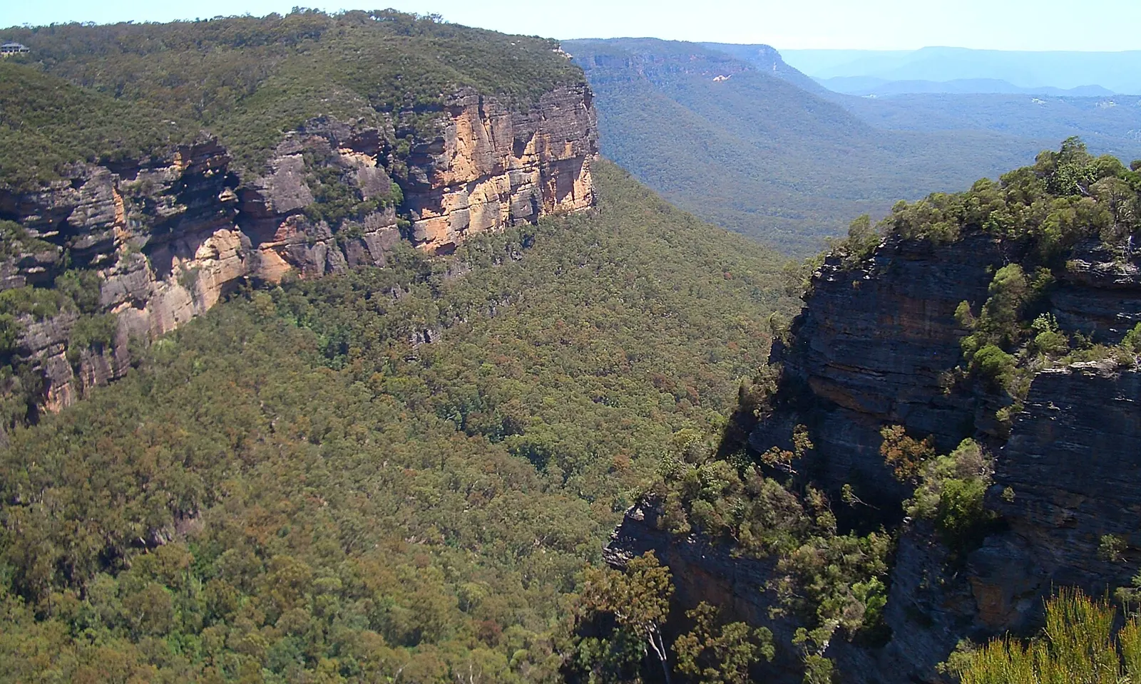
Sandstone cliffs above a forested valley, seen from Cliff View lookout in Nellie's Glen near Katoomba

Photos: User:Vmenkov (CC BY-SA 3.0), Adam Kubalica (CC BY 2.0), William Gong (CC BY-SA 4.0), Adam Kubalica (CC BY 2.0)

Rock
Sandstone
Style
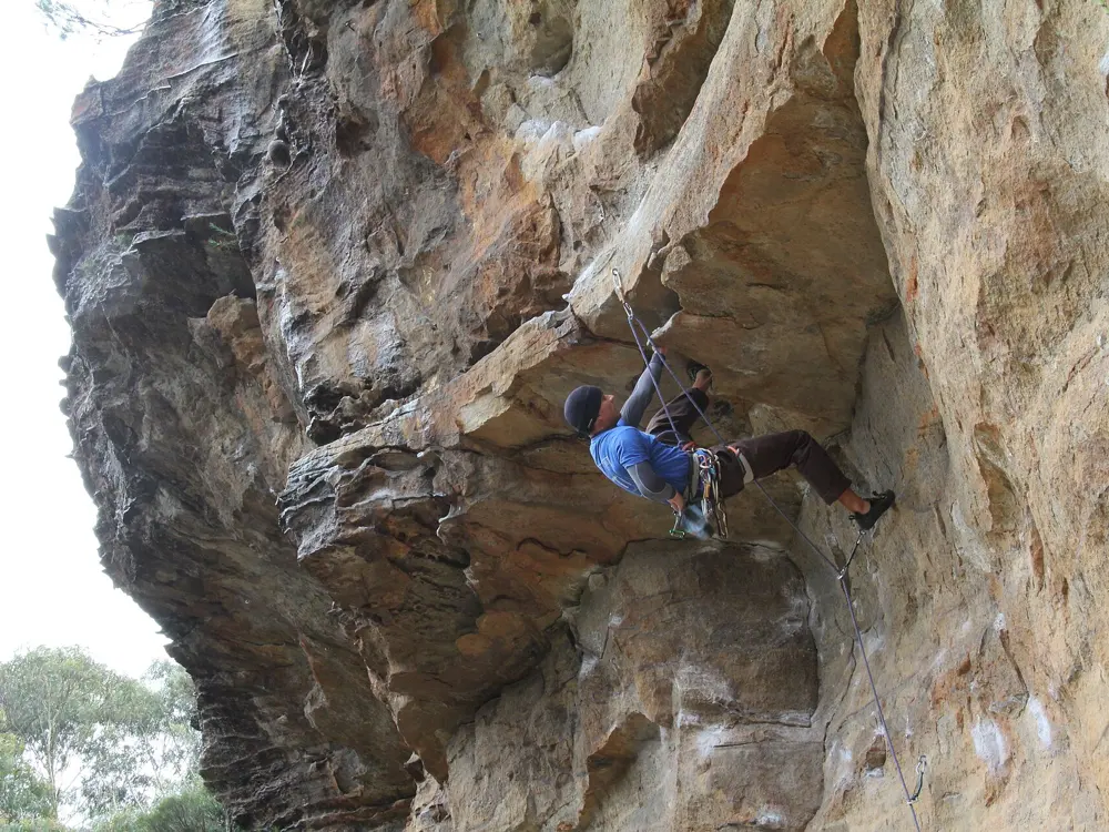
Sport, trad and multi-pitch
Routes
Several thousand, over 5,000 by one count
Season
March to May, August to November

Why go

The sandstone escarpments of the Blue Mountains, about an hour and a half west of Sydney, hold more sport climbing than almost anywhere in Australia, with trad and long multi-pitch routes as well. Climbing here goes back to the 1920s, when Eric Dark, a Katoomba doctor, formed a club after treating a schoolboy hurt on the local cliffs. They called themselves the Blue Mountaineers; others called them the Katoomba Suicide Club. Their route Sweet Dreams, at Sublime Point, is still popular a century later. Most of the climbing today is around three towns on the railway: Katoomba, Blackheath and Mount Victoria.

The route

Mount Piddington, above Mount Victoria, is the premier trad crag, with over 200 routes; The Eternity, two pitches, is one of the best known. Sweet Dreams climbs five pitches at an easy grade, and Bunny Bucket Buttress runs to nine bolted pitches. For steep sport climbing, the Wave Wall at Centennial Glen near Blackheath and the nearby Upper Shipley crags can be done in a day. Diamond Falls, below Narrow Neck, has some of the hardest routes in the country, and Pindari has multi-pitch climbing mostly on bolts.

When to go

Spring and autumn are best, roughly March to May and August to November. Climbing is possible most of the year, but summers are hot and winters cold, so pick crags by the sun: shade in summer, sunny walls in winter.

Getting there

Drive west from Sydney on the Great Western Highway in about an hour and a half, or take the train: the line crosses the top of the plateau, and stations such as Blackheath are close to the crags. For Mount Piddington, turn off the main street of Mount Victoria onto Mount Piddington Road; the walk from Boronia Point takes 15 to 20 minutes.

Permits and booking

The Grose Valley, the Katoomba cliffs and much of Narrow Neck are in Blue Mountains National Park, while the Western Escarpment, where most of the climbing is, is Crown land managed by the city council. The park's plan of management names several places where climbing is considered appropriate, but most crags are not formally recognised, so low impact is the way to keep access. Dogs are banned in the national park, and fines have been issued. Some crags sit on private land with their own rules. Guided groups use licensed operators. Many tracks and fire trails close after storm damage, so check the park's alerts.

How hard it is

This is better for intermediate and strong climbers than for beginners, because the easier routes tend to be the looser ones. The rock is soft, so new bolts must be glued in by people who know how. Foot traffic has eroded the base of Mount Piddington and undermined some large boulders.

Where to sleep

Katoomba, Blackheath and Mount Victoria have places to stay, food and supplies. Many climbers rent a house rather than camp, or come up from Sydney for the day.

Tips

  • Best of the Blue is the usual sport climbing guidebook.
  • Grades on Mountain Project are shown in several systems, so check whether a number is Australian or American.
04 / 10

Frog Buttress

Mount French, Moogerah Peaks National Park, Queensland

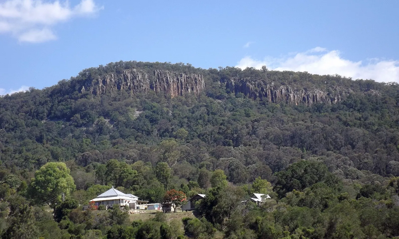
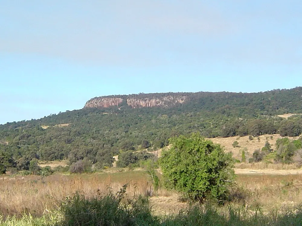
The columnar rhyolite cliff of Frog Buttress on Mount French above forest and a house

Photos: Shiftchange (CC0), Shiftchange (CC0), Shiftchange (CC0), Shiftchange (CC0)

Rock
Rhyolite columns
Style
Trad crack climbing
Routes
Over 400, grades 4 to 32
Cliff
400 m wide, up to 50 m high

Why go

Frog Buttress is small by world standards, 400 m wide and about 50 m high at its centre, but it is one of the most popular climbing places in southeast Queensland and a famous crack crag. The cliff on the northwest side of Mount French is made of rhyolite columns, and the climbing follows the cracks, corners and arêtes between them. Local climbers Rick White and Chris Meadows found it in 1968, and the first route was Corner of Eden (21). In 1975 the American Henry Barber missed a flight in Brisbane, spent the time here, and freed many routes, adding the classics Conquistador (21) and Child in Time (22).

The route

Grades are Australian (Ewbank). Newcomers start on routes such as Witches Cauldron (12, 17 m). Odin (19) was the early testpiece and Black Light (22) a landmark of the first years. Climbers from Victoria added many harder routes in the 1980s, and Brown Corduroy Trowsers (28) is still the outstanding hard trad line. Most cracks are smooth and parallel, so they take cams rather than wires, and the few bolts on faces and arêtes usually need your own brackets.

When to go

Winter is the season. In summer the rock gets too hot by midday and daytime temperatures can reach 40°C, and the park does not recommend camping in the hotter months. From Easter until late October both camping areas are normally full of climbers.

Getting there

Mount French is in the Moogerah Peaks near the town of Boonah. Drive to the Mount French section of the park; the Frog Buttress camping area is about 100 m from the car park, near the day-use area. Boonah is about 9 km away.

Permits and booking

No climbing permit is needed, but camping permits are, and fees apply. Book through the Queensland National Parks Booking Service, which replaced the old system on 1 July 2024. Queensland Parks says the climbing suits only experienced, well-equipped climbers. Some First Nations people regard mountains in the area as sacred and ask visitors to consider not climbing them. Top-roping is hard on the fragile clifftop and frowned on here.

How hard it is

Almost everything is traditional, with very few sport routes. Parallel, smooth-sided cracks need efficient jamming and a big rack of cams, so this is a place for climbers who can already place gear well.

Where to sleep

The Frog Buttress camping area has 14 unnumbered tent sites for up to 28 people, in open forest. Only free-standing tents are allowed, fires and generators are not, and tap water is for washing only, so boil or treat it before drinking. Book three to four weeks ahead in winter and in holidays. Boonah and Aratula have hotels and motels, and the council runs a caravan park at Lake Moogerah.

Tips

  • Bring doubles or triples of the common cam sizes.
  • Climb in the morning; midday on the rock is not recommended even in winter.
05 / 10

Moonarie

Wilpena Pound (Ikara), Ikara-Flinders Ranges National Park, South Australia

The layered orange quartzite cliffs of Moonarie on the rim of Wilpena Pound

Photos: Kevin (CC BY-SA 3.0), Cathcartw (CC BY-SA 4.0), Faj2323 (CC BY-SA 4.0), L. J. LaBarthe (CC BY-SA 4.0)

Rock
Quartzite
Style
Trad, single and multi-pitch
Cliff
About 100 m high
Drive
About 5 hours north of Adelaide

Why go

Moonarie is a towering wall of orange quartzite on the southeastern rim of Wilpena Pound, the great bowl of rock in the Flinders Ranges. It was long one of the most respected crags in the country, and it is still a place for traditional climbing in a remote setting, with no facilities and no phone signal. The Adnyamathanha are the Traditional Owners. To them the Pound is Ikara, a meeting place, and evidence from the nearby Warratyi rock shelter shows people living in the area about 49,000 years ago. The best known feature is the Great Wall, about 50 m of red, vertical rock.

The route

The cliff is about 100 m high and forms a cirque. Besides the Great Wall there are the Ramparts, the Flying Buttress and the Great Chimneys. Pagoda (17) is a four-pitch classic with a rising flake traverse on its second pitch and a crux of face and crack climbing on the third. Ultion (12) is a long corner crack whose first pitch ends at a belay cave. Most descents are by the gullies, one of them with an abseil of more than 25 m.

When to go

Climbers come in the cooler months. A 2003 trip report describes clear, sunny days in July, and the climbers' camp under the cliff can bake in the sun.

Getting there

Drive about five hours north from Adelaide. Hawker, a town of about 200 people, is the usual base, around 30 minutes from the trailhead; Quorn, about an hour before Hawker, has more shops. From the road it is about an hour's walk on a climbers' trail to the cliff. The main road into Wilpena Pound is sealed.

Permits and booking

The cliff is on the outside of Wilpena Pound in Ikara-Flinders Ranges National Park. South Australia charges park entry fees separately from camping fees, so buy a park pass. The Adnyamathanha encourage all visitors to take part in the Welcome to Country held most evenings at Wilpena Pound Resort.

How hard it is

This is not a beginners' crag. The trad climbing is good from intermediate to hard grades, with very little sport climbing. Layers of very hard rock that take good protection alternate with gritty, friable layers, and the less travelled routes have loose rock.

Where to sleep

There is a backcountry climbers' camp at the base of the walls with a water tank and some cooking hardware. Otherwise camp or stay at Wilpena Pound Resort. There is no mobile reception at the camp or the crag; you have to top out to find a signal.

Tips

  • Bring all your food and gear; the general store at Wilpena is expensive and there are no climbing shops nearby.
  • Carry two ropes, or be ready to walk off, since some descents need a long abseil.
06 / 10

The Totem Pole and the dolerite of Tasmania

Cape Hauy, Ben Lomond and kunanyi / Mount Wellington, Tasmania

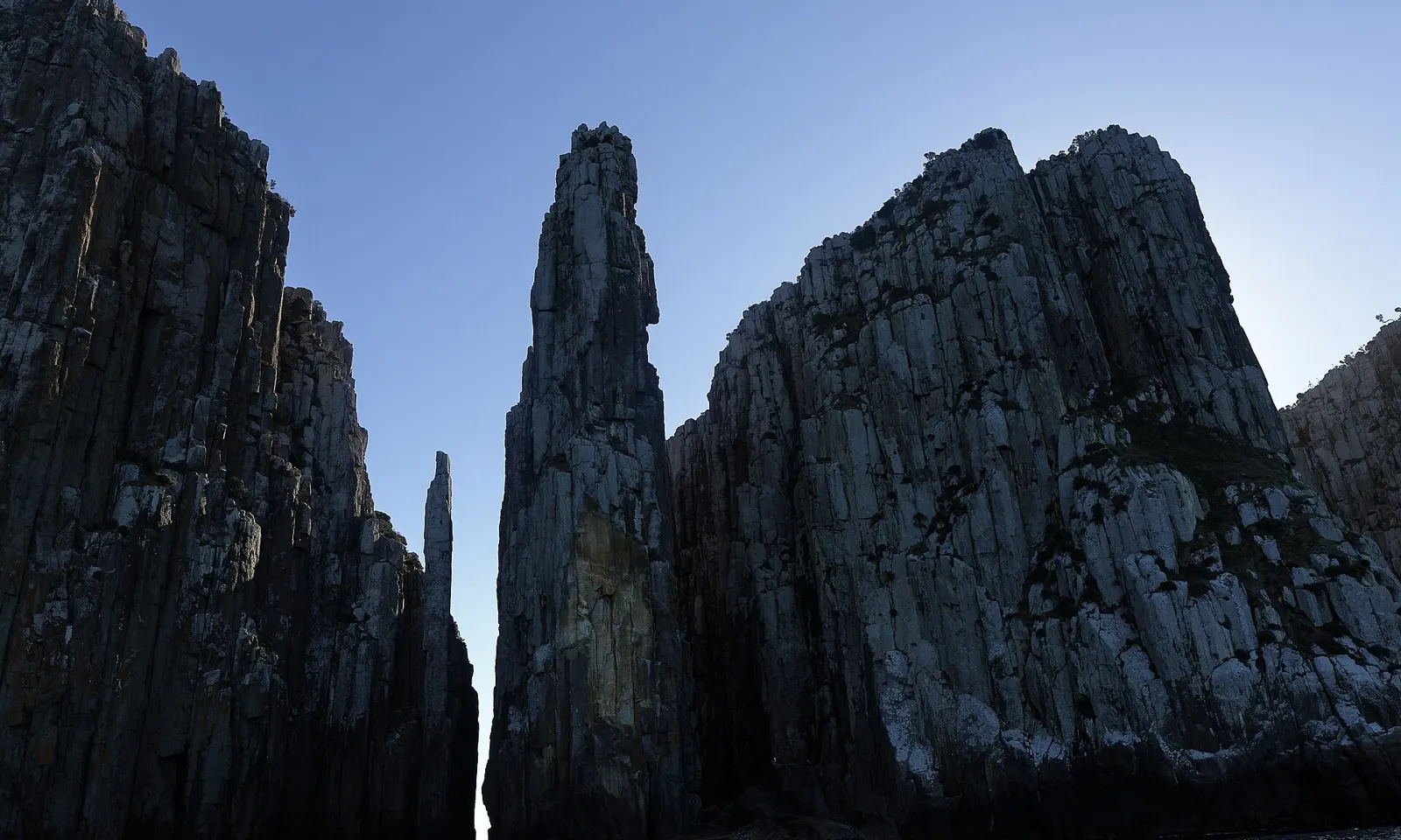
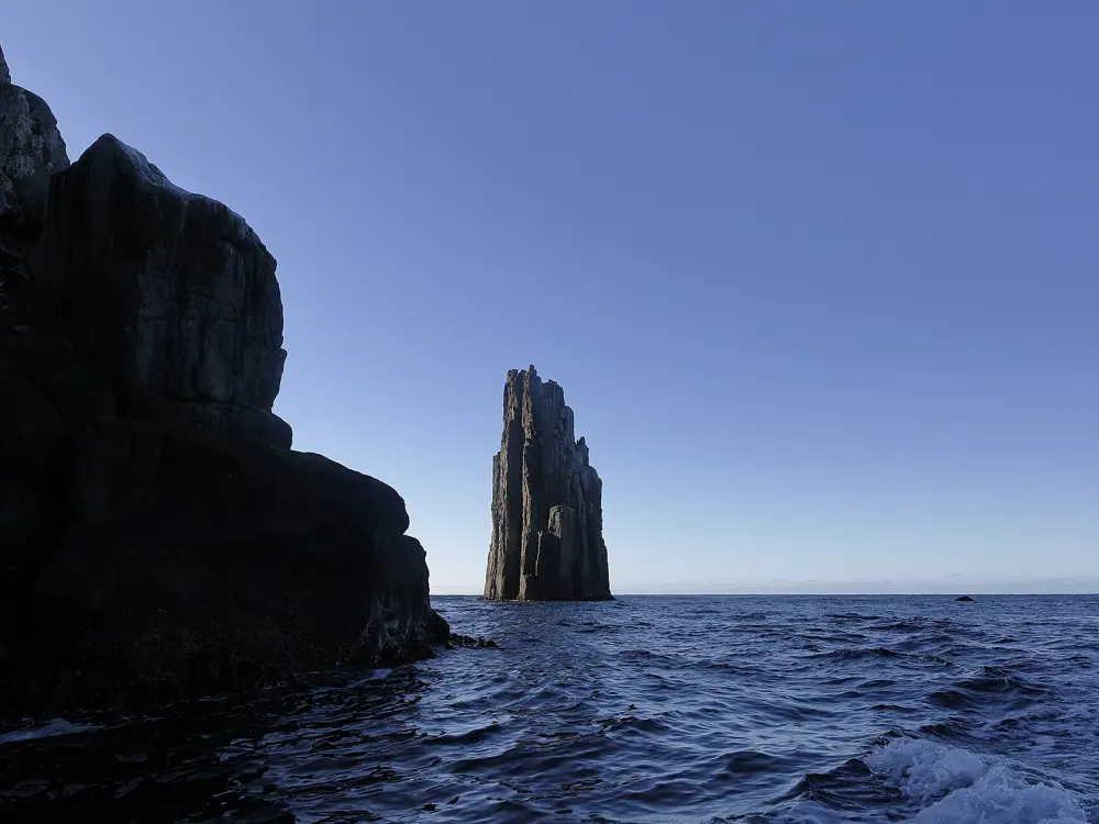
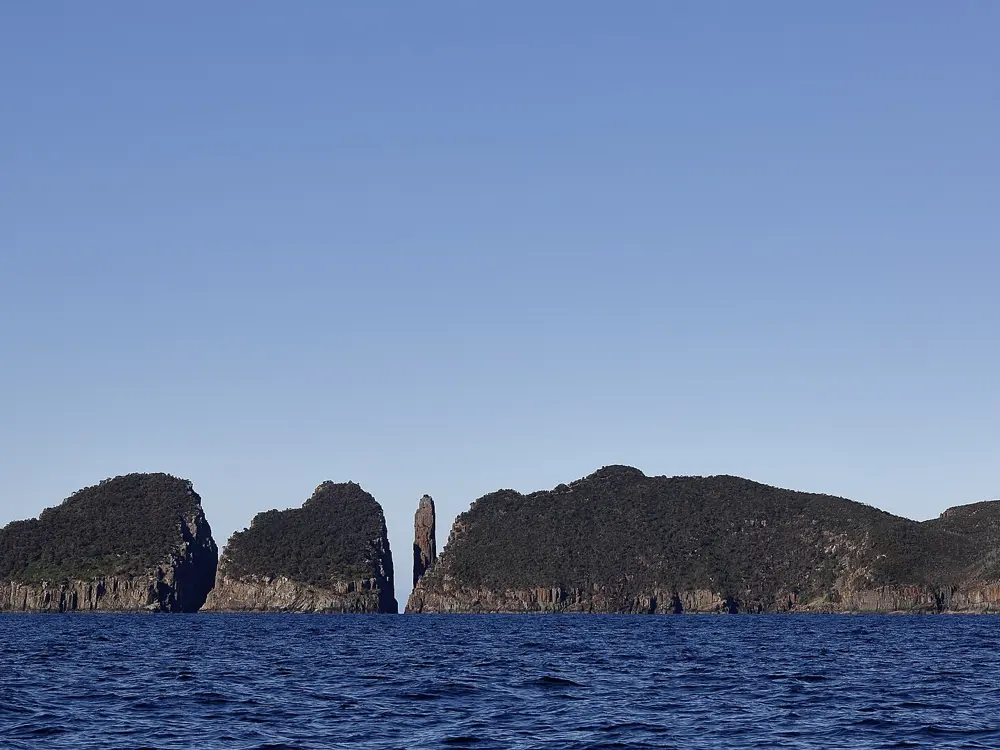
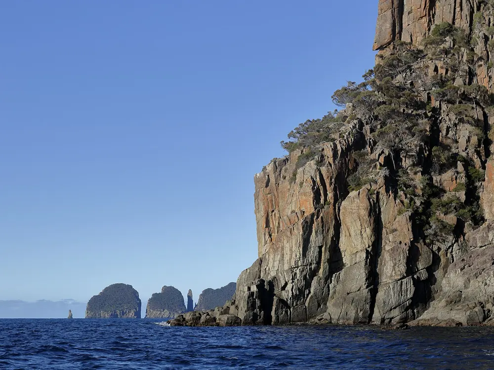
The Totem Pole and the Candlestick, dolerite sea stacks off Cape Hauy, from the sea

Photos: Ed Dunens (CC BY 2.0), Ed Dunens (CC BY 2.0), Ed Dunens (CC BY 2.0), Ed Dunens (CC BY 2.0)

Rock
Dolerite, and granite at Freycinet
Totem Pole
About 65 m, all routes need a Tyrolean
Routes
Over 230 at Ben Lomond, over 400 at the Organ Pipes
Walk to Cape Hauy
About 4 hours return

Why go

The Totem Pole is a narrow dolerite sea stack, about 65 m tall, standing straight out of the ocean beside Cape Hauy on the Tasman Peninsula, with the taller Candlestick next to it. John Ewbank and Allan Keller first climbed it in 1968, using aid. In 1998 the British climber Paul Pritchard was badly injured here when his rope dislodged a rock; he came back in 2016 to complete the climb. Behind the Totem Pole lies a whole island of dolerite columns: Ben Lomond in the north, the Organ Pipes above Hobart, and granite sea cliffs at Freycinet.

The route

On the Totem Pole you abseil to sea level and swing across to the pillar, and every route needs a Tyrolean traverse to get back to the mainland. The Free Route is two pitches, graded 24 or 25 depending on the source. Ben Lomond has more than 230 routes, mostly on its northern escarpment, and many climbers say it has the best crack climbing in Australia. The Organ Pipes on kunanyi / Mount Wellington, above Hobart, have more than 400 recorded routes, Whitewater Wall at Freycinet has more than 50 granite routes over the swell, and Cataract Gorge in Launceston has over 800.

When to go

Choose a calm, dry day for the Totem Pole, since the climb starts at sea level. Fortescue Bay campground takes bookings from 1 October to 30 April, its busy season, and is first come, first served for the rest of the year.

Getting there

The Cape Hauy Track starts near the boat ramp at Fortescue Bay in Tasman National Park and is a four-hour return walk with many steps. Fortescue Bay is about 8 km from the Totem Pole. The Organ Pipes are on the mountain above Hobart and Cataract Gorge is in Launceston.

Permits and booking

You need a valid parks pass to enter Tasmania's national parks; buy it online, at Service Tasmania shops or at Fortescue Bay. Dogs are not allowed at Fortescue Bay or anywhere in Tasman National Park, and parts of the reserve are fuel stove only all year.

How hard it is

The Totem Pole is a serious undertaking: an abseil into the sea gap, a free route in the mid twenties, and a Tyrolean to escape. Ben Lomond's cracks and the Organ Pipes cover a wide spread of grades. Rock Climbing Adventures Tasmania and Rock Climbing Tasmania offer instruction and guided climbs.

Where to sleep

Fortescue Bay campground costs $13 a night for the first two people on a site and $5 for each extra adult. The Mill Creek area is for vehicle campers and Banksia for walkers and tents. Hobart and Launceston are the bases for the Organ Pipes, Ben Lomond and Cataract Gorge.

Tips

  • Leave a party member at the top or carry a way to call for help; in 1998 Pritchard's partner had to run 8 km to Fortescue Bay.
  • Same-day campground bookings count only if confirmed by the park service before 4 pm.
07 / 10

Castle Hill (Kura Tāwhiti)

Castle Hill Basin, Canterbury, New Zealand

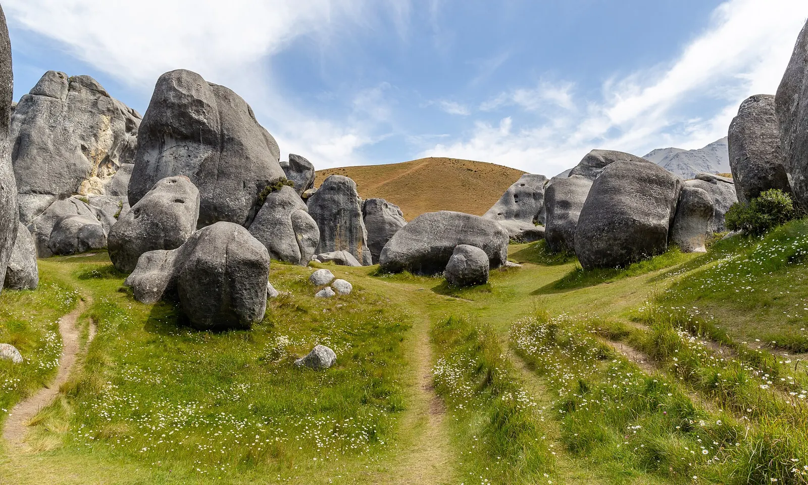
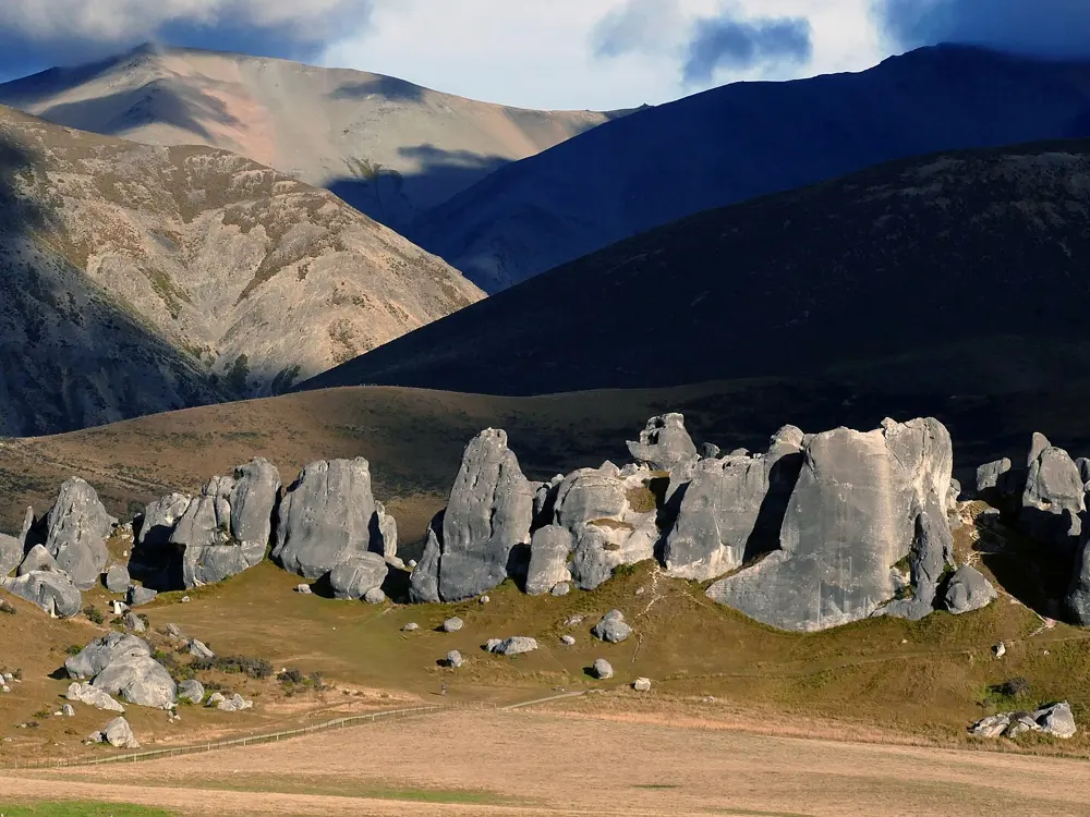
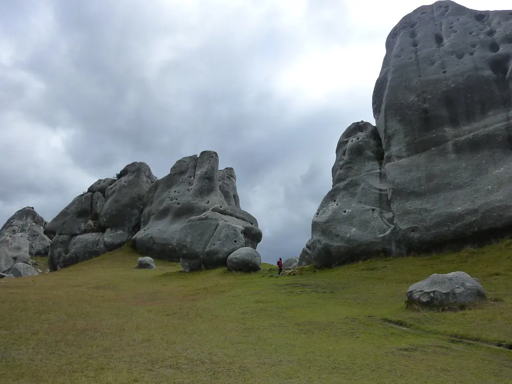
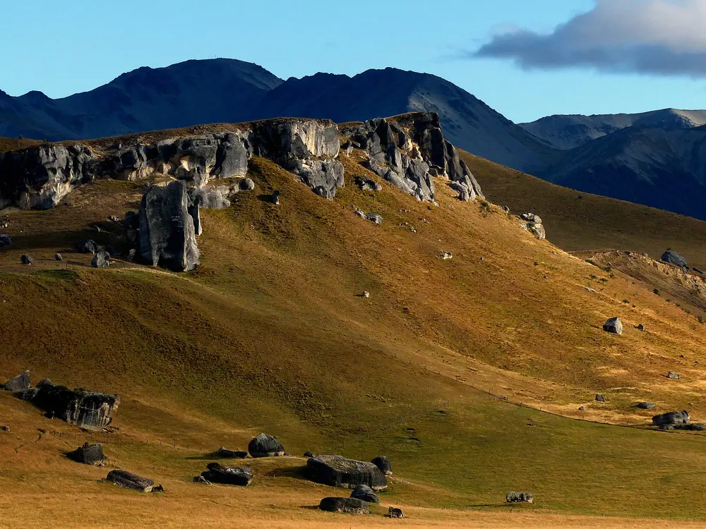
Rounded grey limestone boulders on a grassy slope at Castle Hill

Photos: Michal Klajban (CC BY-SA 4.0), Bernard Spragg (CC0), Borvan53 (CC BY-SA 3.0), Bernard Spragg. NZ from Christchurch, New Zealand (CC0)

Rock
Limestone
Style
Bouldering, a few old roped routes
Altitude
About 700 m
Drive
About 1 hr 30 min from Christchurch

Why go

Grey limestone outcrops stand in rows over the tussock of the Castle Hill Basin, high in the Canterbury country between the Torlesse and Craigieburn ranges. The local climbing community calls the basin New Zealand's best climbing area. Kura Tāwhiti is also a place of special significance to Ngāi Tahu and Ngāi Tūāhuriri, who hold mana whenua. It has Tōpuni status and contains wāhi tapu, sacred places, which shapes how climbers use it.

The route

Kura Tāwhiti itself, the conservation area beside the highway, is the most visited, with sectors such as Quantum Field and Spittle Hill. Nearby are Flock Hill, Dry Valley, Prebble Hill (the Teapot), Gorge Hill and Parapet Rock, each with its own access rules. The basin is mainly bouldering; many older roped climbs at Kura Tāwhiti have bare coach bolts without hangers, and there is some agreement to remove them.

When to go

DOC says Kura Tāwhiti is very busy in summer, November to April. Climbers disagree on the best season: some guides favour spring and autumn, others say the colder months give the best friction. Several areas on farmland close for lambing: Prebble Hill and Gorge Hill from 10 October to 30 November, and Flock Hill until 25 December. Snow can close State Highway 73.

Getting there

Drive about 100 km from Christchurch toward the West Coast on State Highway 73, about an hour and a half. The car park is on the left 3 km before the turnoff to Castle Hill Village; Arthur's Pass is 50 minutes further on. For Flock Hill and Dry Valley, do not park at the farm gate near Parapet Rock; use the gravel pull-off 1 km further north and the stile.

Permits and booking

No permit is needed. Kura Tāwhiti is a DOC conservation area: stay on the access track, because the surrounding paddocks are private, use the toilets, do not dig or disturb the ground, keep off the endangered plants at the bases of the rocks, and never mark the rock. Bolting is not allowed, and trad gear is discouraged because the rock is soft beneath a hard crust.

How hard it is

Problems run from easy to very hard, but the main hazard is polish. The rock wears quickly with heavy use, so clean holds before and after climbing, and the local site asks climbers not to climb on rock that is already polished.

Where to sleep

DOC's Mistletoe Flats campsite is about 10 minutes away by car. Arthur's Pass village is another base, and Christchurch is close enough for day trips.

Tips

  • Take valuables with you; DOC warns that thieves target cars in the car park.
  • Do not leave pads or gear stashed at the boulders.
08 / 10

Paynes Ford

Tākaka, Golden Bay, New Zealand

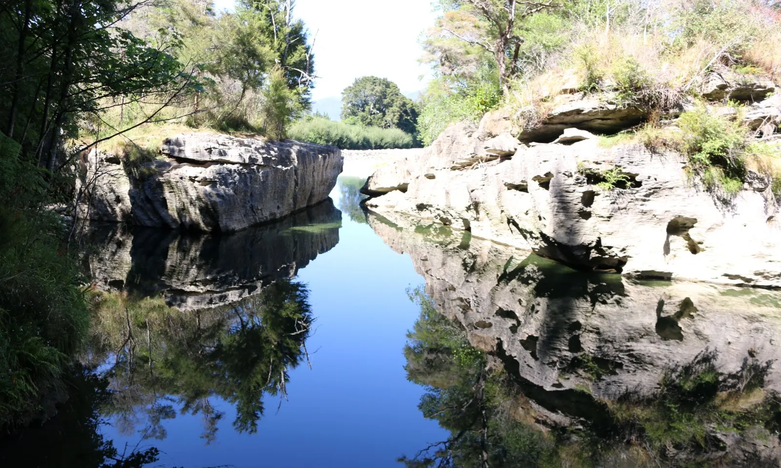
Limestone banks reflected in a still pool of the Tākaka River at Paines Ford

Photos: Wildman NZ (CC BY-SA 4.0), Schwede66 (CC BY-SA 4.0), Oren Rozen (CC BY-SA 3.0), Schwede66 (CC BY-SA 4.0)

Rock
Limestone
Style
Single-pitch sport
Routes
About 250 to over 300, depending on the guide
Location
About 3 km south of Tākaka

Why go

A line of grey limestone bluffs rises out of a patch of old forest beside the Tākaka River, and DOC calls it one of the best rock climbing areas in New Zealand. The routes are mostly single-pitch and bolted, on rock that ranges from slippery slabs to big roofs, and the river across the road has swimming holes for the end of the day. The reserve takes its name from the old ford, and the path to the crags follows a tramline that carried timber from the Tākaka Valley to the wharf from the early 1880s to 1905.

The route

Grades run from about 12 to 28. Creese Wall has Goodbye Cream-Poofters (16), which starts easy, and the steep, pocketed Rawhide (22). On the Wall of Thugs, 1080 and the Letter G (23) is overhanging with a hard start. Temples of Stone (18) on the Stone Symposium Wall is a long classic that mixes slab, slopers and jugs and needs a scramble to its starting ledge.

When to go

You can climb all year, but an older local guide says spring and autumn are best because summer gets hot. Christmas and New Year are the busiest weeks, while winter brings good friction, short days and cold nights. After heavy rain the crags can take a few days to dry from runoff.

Getting there

The reserve entrance is at 1886 Tākaka Valley Highway (State Highway 60), about 3 km south of Tākaka, with a picnic area and toilet by the bridge.

Permits and booking

No permit is needed. The land is a DOC scenic reserve and access is not guaranteed, so stay on the formed tracks, respect any closed areas and talk to locals before putting up new routes. Fires and camping are not allowed in the reserve. The river is dangerous in flood.

How hard it is

DOC says the cliffs are not suitable for beginners. Most climbs are bolted sport routes in the middle and upper grades.

Where to sleep

Hangdog camp, run for climbers, is about two minutes' walk from the car park, rents gear and sells a local guide booklet to most Golden Bay climbs. Tākaka has other places to stay.

Tips

  • ClimbNZ is the best online guide for the area.
  • Leave a day spare after heavy rain for the walls to dry.
09 / 10

Wānaka and the Matukituki Valley

Wānaka, Otago, New Zealand

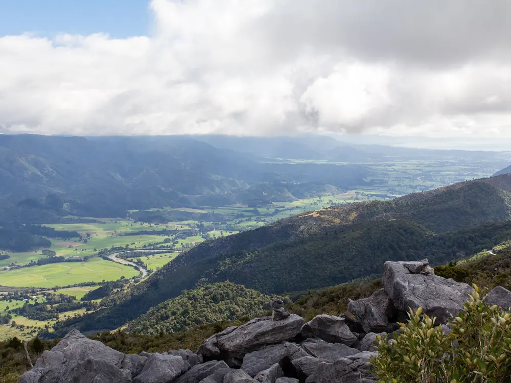
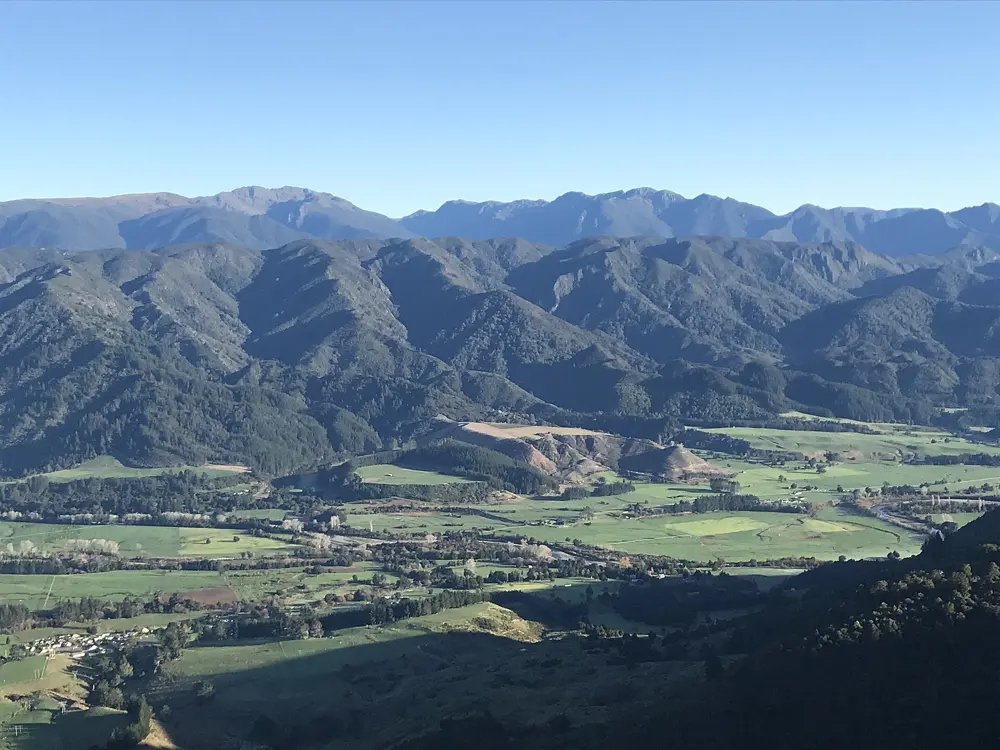
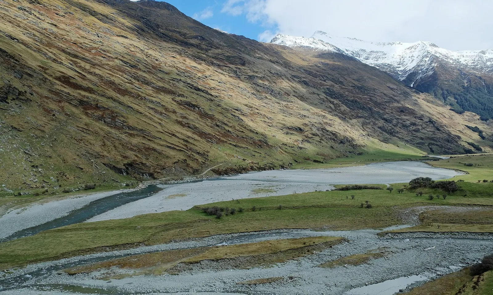
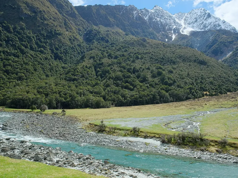
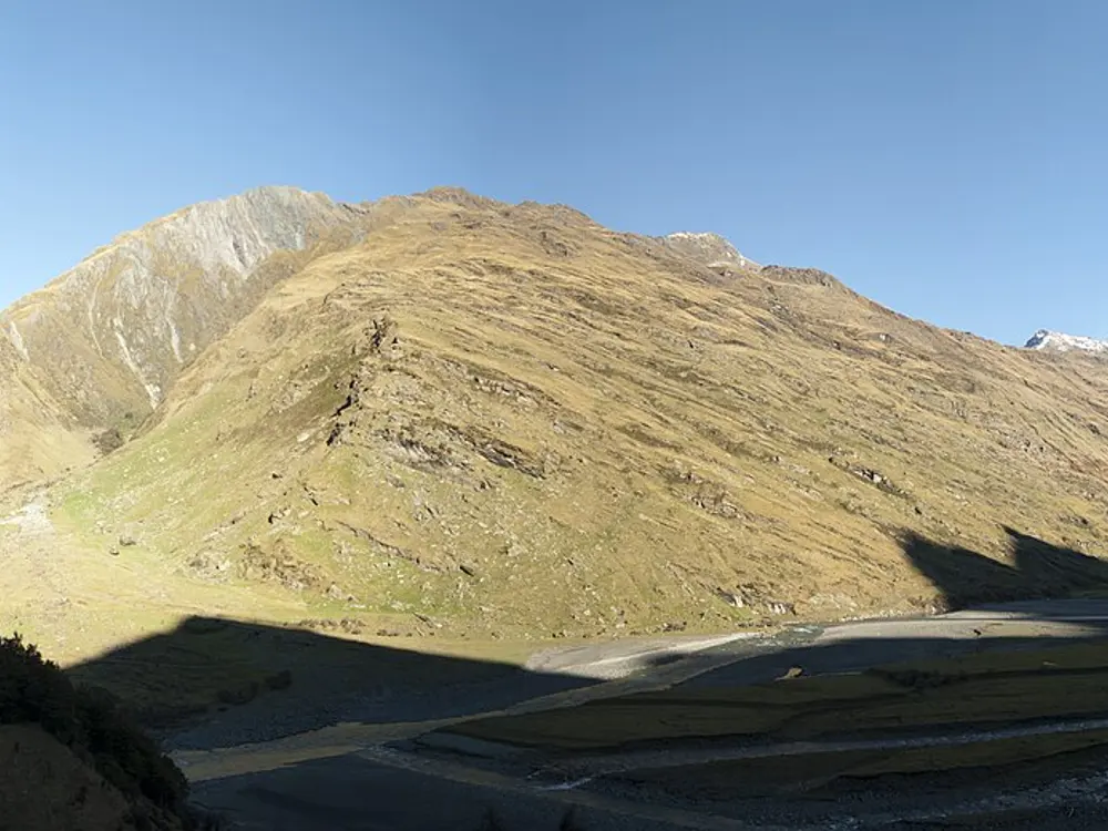
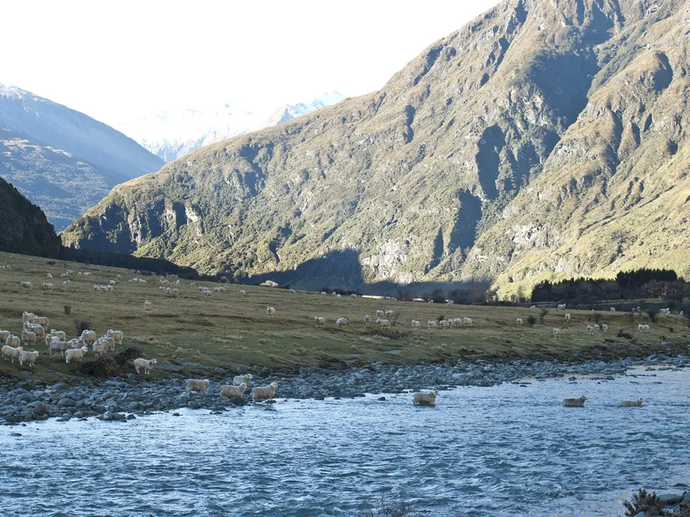
The braided Matukituki River West Branch below snow-capped peaks

Photos: Pseudopanax at English Wikipedia (Public domain), Pseudopanax at English Wikipedia (Public domain), Steve Collis from Melbourne, Australia (CC BY 2.0), Steve Collis from Melbourne, Australia (CC BY 2.0)

Rock
Schist
Style
Mostly sport, some trad
Routes
700 to over 1,000, depending on the source
Distance
Hospital Flat is 12 km from Wānaka

Why go

The schist crags along the road from Wānaka into the Matukituki Valley hold hundreds of bolted routes a short walk from the car, below the mountains of Mount Aspiring National Park. Climbing began at Hospital Flat in the 1970s, and the Wānaka Rock Climbing Club has since developed and maintained around a thousand routes. The current guidebook, Wānaka Rock, is the eighth edition, published in 2021.

The route

Hospital Flat is the historic core, 12 km from town on Mount Aspiring Road. A short marked track leads to Little Big Wall and a worn track to Main Cliff, the best place to start, with single-pitch routes from grade 12 to 22; Headbanger's Arete (17) there is a sharp, sustained arête on good schist. Diamond Lake is 1 km further on the right, with Riverside, popular for its range of grades, and Roadside further up the valley. Mount Iron, near town, has dozens of routes too.

When to go

Main Cliff is sunny and dries quickly. Diamond Lake faces south, so it can be icy in winter and slow to dry after heavy rain, but it suits summer. Lambing runs from 1 October to 15 November, and climbers must take care not to disturb the sheep then.

Getting there

From Wānaka take Mount Aspiring Road toward the Matukituki Valley. Hospital Flat is 12 km out on the left, and the Diamond Lake car park about 18 km from town.

Permits and booking

No permit is needed. Many crags are on pastoral lease land, and access is at the discretion and goodwill of the runholders, so check for seasonal closures and follow any signs. DOC warns that rockfall is a constant risk at Roadside.

How hard it is

Grades run from easy to the high twenties. Most routes have bolts and fixed lower-offs, though schist often needs cleaning and some lines take trad gear.

Where to sleep

Stay in Wānaka, which has every kind of accommodation. The guidebook is sold at Basecamp Wanaka and sometimes in shops in town.

Tips

  • Buy Wānaka Rock; the local club develops and maintains the routes.
  • Leave gates as you find them and keep away from stock.
10 / 10

The Darran Mountains

Fiordland National Park, New Zealand

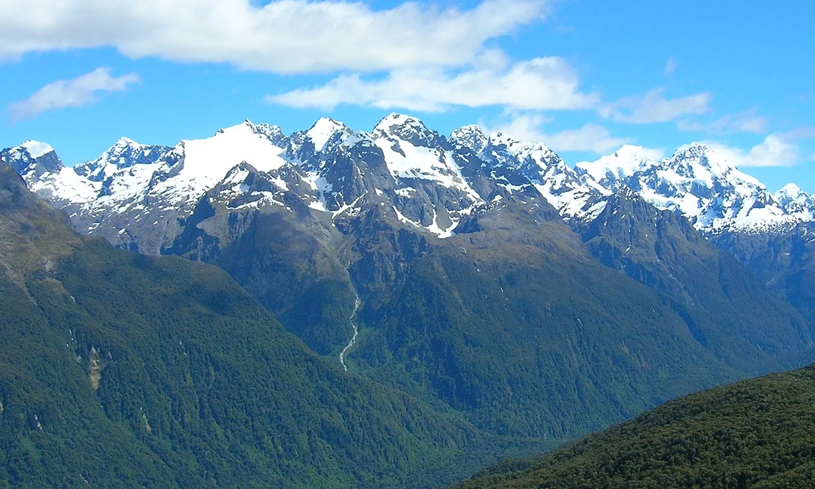
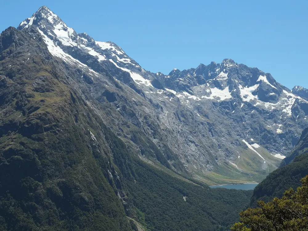
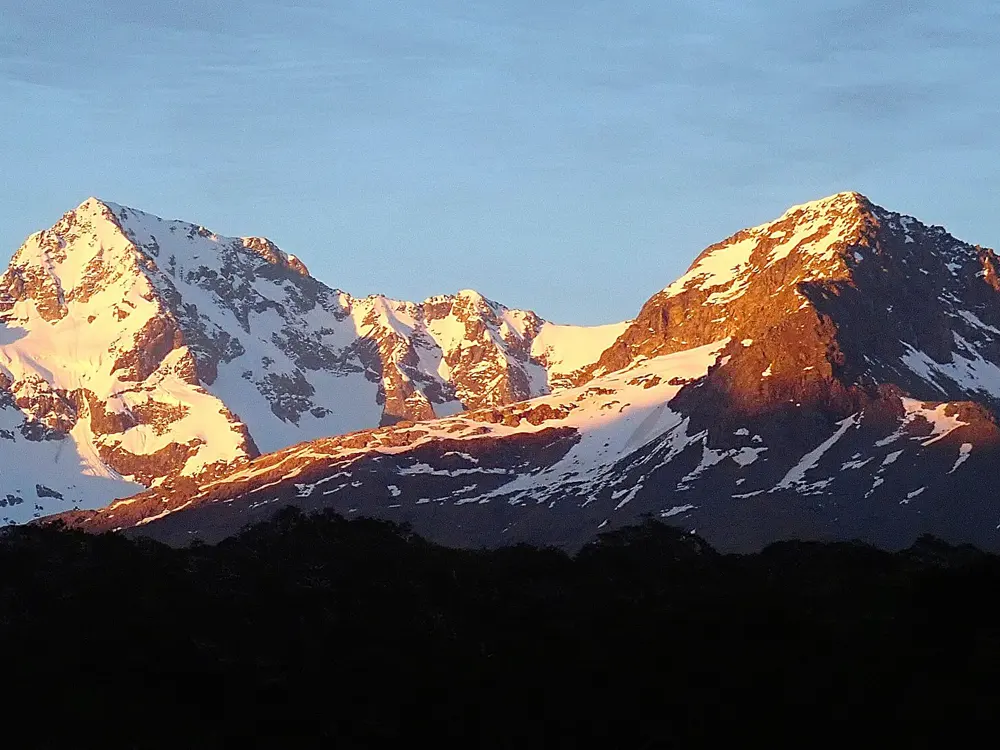
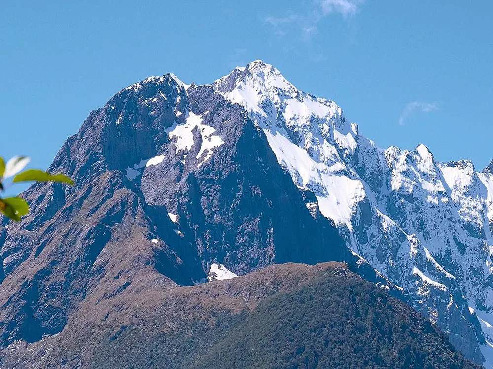
Snow-capped peaks of the Darran Mountains above forested valleys

Photos: brewbooks (CC BY-SA 2.0), Pseudopanax at English Wikipedia (Public domain), Margaret Donald (CC BY-SA 2.0), alans1948 (CC BY 2.0)

Rock
Diorite
Highest peak
Mount Tūtoko, 2,723 m
Season
January to April
Base
Homer Hut, 900 m

Why go

Guides call the Darrans the crown jewel of New Zealand alpine rock: long routes on coarse, grippy diorite above glacial valleys, tarns and rainforest, at the northern end of Fiordland National Park between Milford Sound and the Hollyford Valley. Unlike the loose rock of much of the Southern Alps, the stone here is solid, and many of the best climbs start within reach of the road and the New Zealand Alpine Club's Homer Hut. Mount Tūtoko, at 2,723 m, is the highest peak in the national park.

The route

Grades are Ewbank. Moir's Mate and the peaks of the Gertrude Valley can be climbed in a day from the hut, and Shotwell Slabs is the local crag for a short afternoon. Barrier Knob has newer multi-pitch routes, the hardest in 2006 to 2007 being Utu, with pitches of 25, 22 and 24. Mount Sabre is a famous classic at grade 17, which is still no easy alpine objective, and climbers bivouac at Lake Adelaide for it.

When to go

January to April, when late summer brings the most stable weather. Fiordland is wet: Milford Sound gets about 7,200 mm of rain a year, and up to 250 mm has fallen in a single day, so leave spare days. The Milford Road's avalanche season usually runs from June to October.

Getting there

Queenstown to the Homer Hut is about four hours by road on the Milford Road (State Highway 94), and you can drive to within 200 m of the hut. The road's avalanche area covers 17 km from Falls Creek to the Chasm and shuts when the risk rises; check NZTA's highway information before you travel.

Permits and booking

No climbing permit is needed. Homer Hut must be booked: for the 2026 to 2027 high season, from 8 December 2026 to 29 March 2027, it is for NZAC members only, and non-members can book outside those dates. Camping near the hut is for members only, and sleeping in vans or cars at Homer is not permitted.

How hard it is

This is alpine climbing in a remote, wet range, and even moderate grades come with long approaches, route finding, snow and fast-changing weather. Guided weeks are run for one or two climbers per guide.

Where to sleep

Homer Hut has no electricity but has solar lighting and a radio. For the longer routes the range has many rock bivvies, and Lake Adelaide is the usual bivvy for Sabre.

Tips

  • If Fiordland is wet, crags at Kingston or the Remarkables near Queenstown are a fallback.
  • Book Homer Hut early for the summer window.

Sources

Distances, heights, seasons and permit rules were checked against these pages. Rules change, so check the park or trail authority before you go.