Rungs Labs

Rungs Pilgrimage · Climbing · South America

The 10 Best Places for Rock Climbing in South America

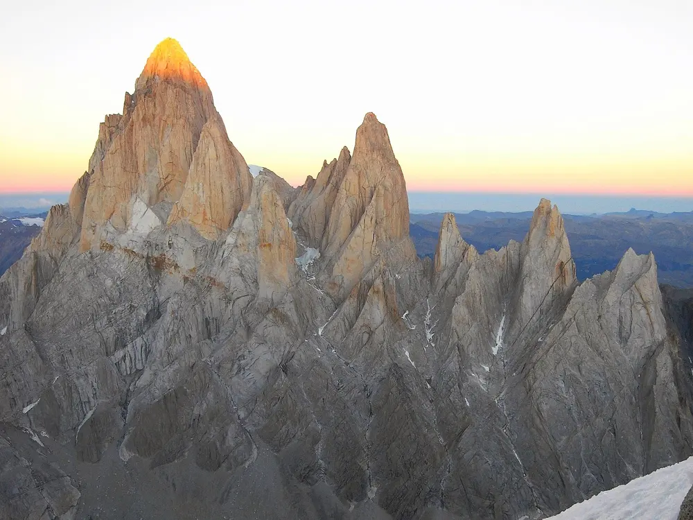
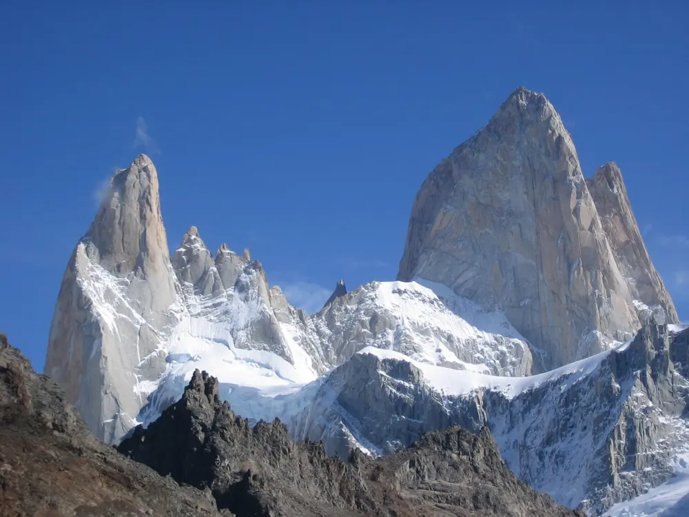
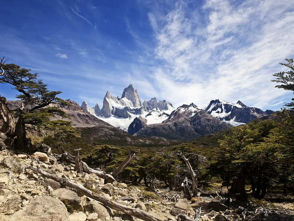
El Chaltén and the Fitz Roy massif, Los Glaciares National Park, Santa Cruz, Argentina. Photo: Masa Sakano (CC BY-SA 2.0)

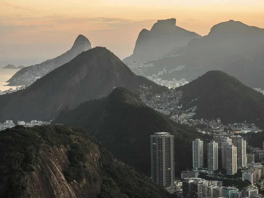
South American climbing runs from the alpine granite of Patagonia, where Fitz Roy, Cerro Torre and the Towers of Paine draw climbers from around the world, to the big walls of Cochamó, the spires of Frey and the sport crags of Piedra Parada and the Peruvian Andes. Further north, Rio de Janeiro has one of the largest urban climbing areas anywhere, and the spires of the Serra dos Órgãos are where Brazilian climbing began in 1912.

Seasons follow two patterns: Patagonia is climbed in the southern summer, while Brazil and the high Andes of Peru are best in the drier winter months. For each place you get the rock, the classic routes and grades, the season, how to get there, the permits and rules, how hard it is and where climbers stay. Every fact comes from park bodies, climbing databases, the American Alpine Club and the other pages linked at the bottom.

Updated 2026-10-19

  1. 01El Chaltén and the Fitz Roy massifLos Glaciares National Park, Santa Cruz, Argentina
  2. 02The Towers of PaineTorres del Paine National Park, Magallanes, Chile
  3. 03CochamóLos Lagos Region, Chile
  4. 04FreyCerro Catedral, Nahuel Huapi National Park, Río Negro, Argentina
  5. 05Piedra Parada and La BuitreraGualjaina, Chubut, Argentina
  6. 06Los GigantesSierras Grandes, Córdoba, Argentina
  7. 07Hatun MachayCordillera Negra, Áncash, Peru
  8. 08Pão de Açúcar (Sugarloaf Mountain)Urca, Rio de Janeiro, Brazil
  9. 09Pedra do BaúSão Bento do Sapucaí, São Paulo, Brazil
  10. 10Dedo de Deus and the Serra dos ÓrgãosSerra dos Órgãos National Park, Rio de Janeiro, Brazil
01 / 10

El Chaltén and the Fitz Roy massif

Los Glaciares National Park, Santa Cruz, Argentina
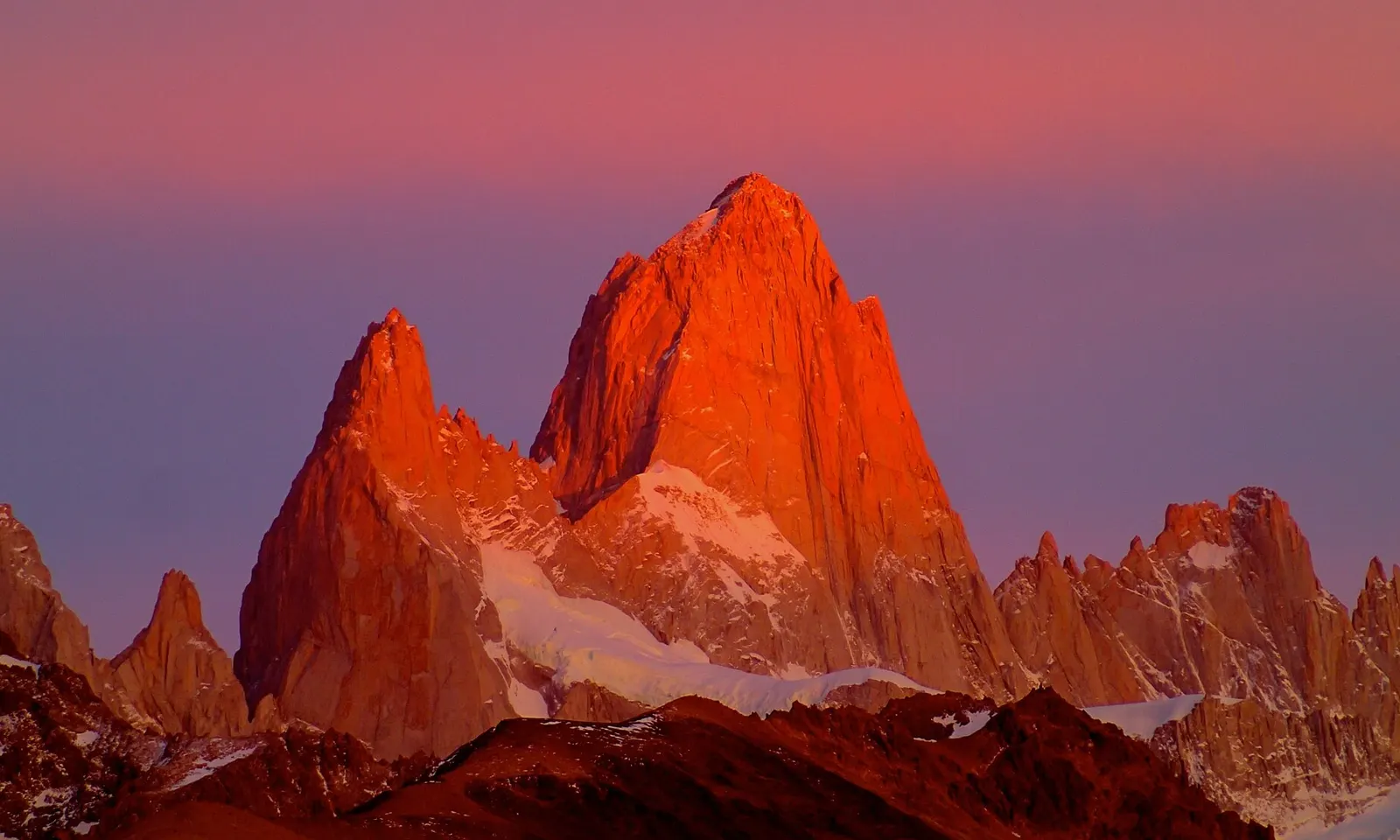
Fitz Roy and its neighbouring spires lit red at sunset above El Chaltén

Photos: Masa Sakano (CC BY-SA 2.0), KSszilas (CC BY-SA 4.0), Prissantenbär (Public domain), Redondo8 (CC BY-SA 3.0)

Highest summit
Fitz Roy, 3,405 m
Style
Alpine rock and ice, sport crags by town
Permit
Free climbing permit from the rangers
Season
Southern summer

Why go

El Chaltén is the village at the foot of Fitz Roy and Cerro Torre, and for alpine rock climbers it is the centre of South America. Fitz Roy was first climbed on 2 February 1952 by Lionel Terray and Guido Magnone, by the southeast ridge now called the Franco-Argentine. Cerro Torre, 3,128 m, had its first undisputed ascent in 1974 by the Ragni di Lecco team of Daniele Chiappa, Mario Conti, Casimiro Ferrari and Pino Negri. In January 2012 Hayden Kennedy and Jason Kruk climbed its southeast ridge by fair means and removed 125 of Cesare Maestri's bolts on the way down, which returned the route to the realm of adventure.

The route

On Fitz Roy, the Franco-Argentine is the easiest line, about 650 m at 6a+ or 6c/A1. The Supercanaleta, first climbed in 1965 by Carlos Comesaña and José Luis Fonrouge, runs about 1,600 m at TD+ 5.10 with ice to 90 degrees. The Californiana on the southwest ridge and the Afanassieff on the northwest ridge are other classics. On Cerro Torre the Ragni route is the usual way up. Pain and Gain on Aguja Desmochada, about 500 m at 7a+ C1, is a shorter objective. Near the village there are close to 200 bolted sport pitches and bouldering for the days when the peaks are hidden.

When to go

Climbers come in the southern summer. In the 2021 to 2022 season, the American Alpine Club recorded ascents from late December through late February. Seasons vary a great deal: some summers bring several windows, others bring none worth the name, so plan to stay for weeks.

Getting there

Fly to El Calafate. Buses run several times a day in summer from the airport and the town bus terminal to El Chaltén, and Argentina's tourism board puts the drive along Route 40 at three and a half hours. From the village, the approach trails lead into the park and up to the high camps.

Permits and booking

Register with the rangers when you arrive and you will be given a climbing permit at no charge. The Río Eléctrico valley is private land, and at Piedra del Fraile there is a fee to camp or to pass through. Fires are prohibited in the park. Climbing rescues are carried out by volunteers at no cost, but body recoveries cost at least 10,000 US dollars, so the AAC advises rescue insurance that covers them.

How hard it is

This is committing alpine climbing in fast-changing weather, with glacier approaches, long descents and rescue that is slow and hard. Glacier recession has made the approach to Niponino camp below the Torres increasingly dangerous; a safer southern variant was found and marked in 2022. Rockfall and avalanches have killed climbers here.

Where to sleep

Most climbers base themselves in El Chaltén and walk in when a window opens. The old base camps, one and a half to two hours from town, are now discouraged. For a push, climbers use high camps such as Niponino, Paso Superior and Piedra Negra. Piedra del Fraile, in the Río Eléctrico valley, is a paid camping area on private land.

Tips

  • Program the radio frequencies and phone numbers listed on pataclimb.com into your radio or phone before going up.
  • Set a turnaround time from the forecast, and avoid peaks crowned by big rime mushrooms when the freezing level is well above the summit.
02 / 10

The Towers of Paine

Torres del Paine National Park, Magallanes, Chile

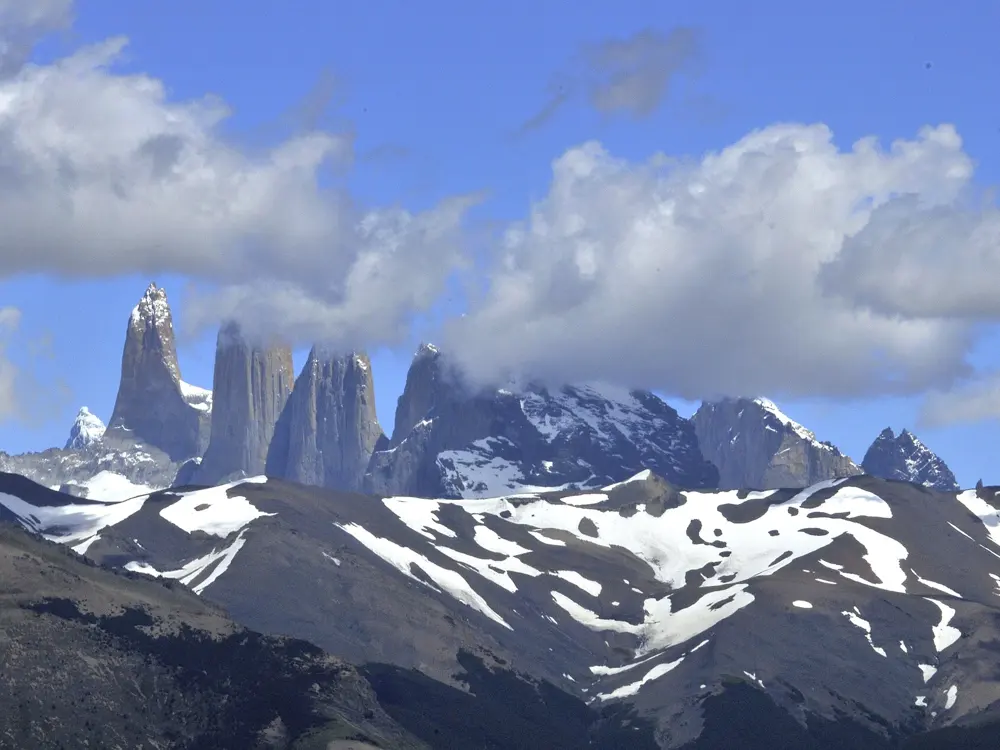
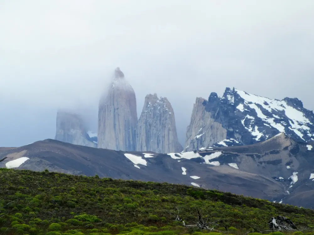
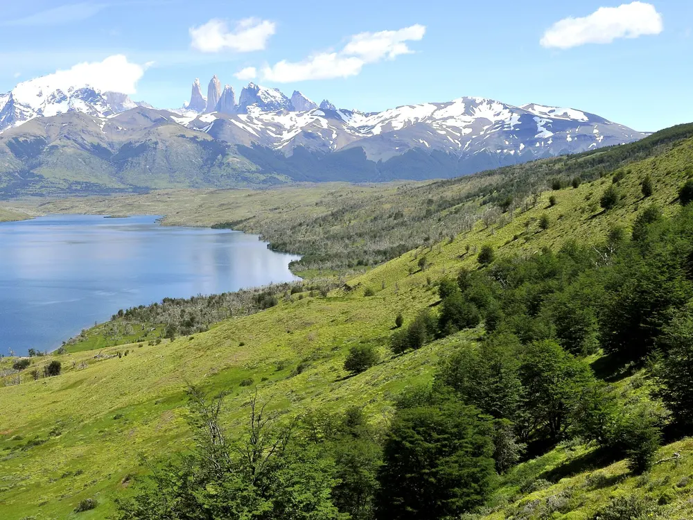
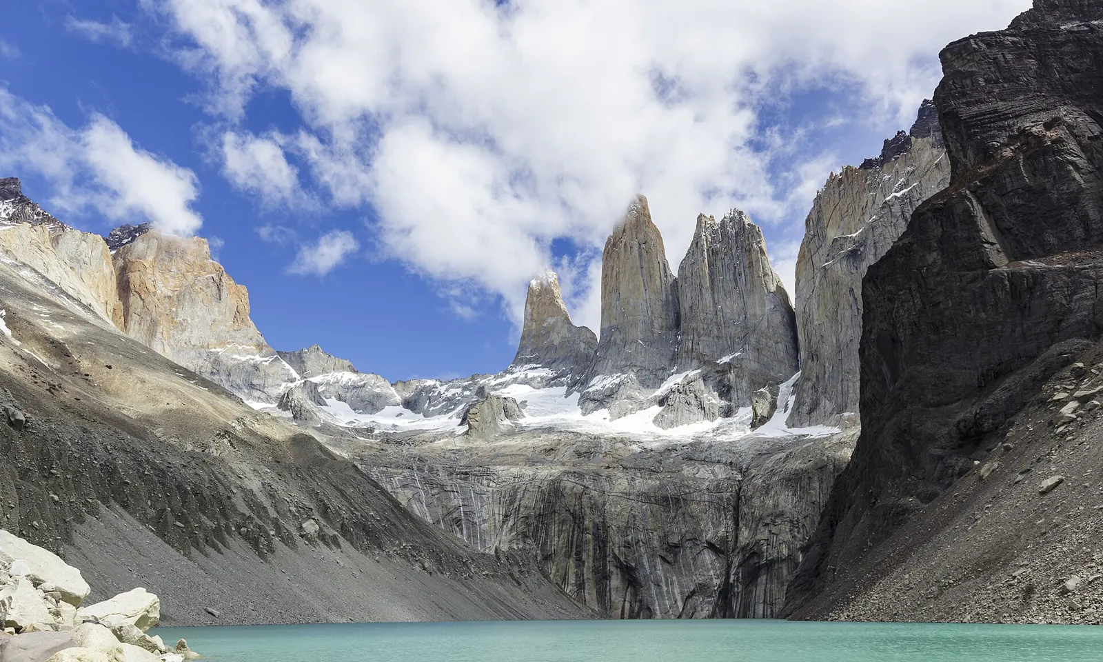
The three granite Towers of Paine above the green lake at their base

Photos: Thomas Fuhrmann (CC BY-SA 4.0), LBM1948 (CC BY-SA 4.0), amanderson2 (CC BY 2.0), LBM1948 (CC BY-SA 4.0)

Rock
Granite towers capped with darker sedimentary rock
Central Tower
About 2,460 m
Classic
Riders on the Storm, 1,300 m, 7c+
Permits
DIFROL plus CONAF climbing permit

Why go

The three Torres del Paine rise from a granite intrusion, a laccolith about 12.5 million years old, that pushed into Cretaceous sediments; the light faces are the granite and the dark caps are the older rock. The North Tower was first climbed by Guido Monzino's expedition in 1958, the Central Tower by Chris Bonington and Don Whillans in 1963 and the South Tower by Armando Aste the same year. The east face of the Central Tower carries one of the most famous big wall routes in the world, and the nearby Cuernos and Valle Bader hold more granite for those who want it.

The route

Riders on the Storm, on the east face of the Central Tower, was first climbed in 1991 by Kurt Albert, Bernd Arnold, Norbert Bätz, Peter Dittrich and Wolfgang Güllich: 38 pitches, 1,300 m, at 7c A3. In February 2024 Siebe Vanhee, Nico Favresse and Seán Villanueva O'Driscoll made the first free ascent, with Drew Smith photographing, over 18 days; the free line goes at 7c+ by a five-pitch variation. The south face of the South Tower is another major objective. Valle Bader has more towers, but many are topped with loose dark basalt.

When to go

Expeditions go in the southern summer; Riders on the Storm was freed between late January and early February. The AAC report on the free ascent names snow, ice and wind above 80 miles an hour, and a British team in 2017 reached the South Tower and climbed no pitches at all.

Getting there

Fly to Punta Arenas, take a bus to Puerto Natales, and then the afternoon bus into the park; the park administration is the final stop. Horses and handlers can be hired at the end of the road to carry loads toward base camp, and porters can be hired through operators in Puerto Natales.

Permits and booking

Apply to DIFROL, Chile's border agency, before you travel, because the park is close to the Argentine border; it can be done online, and the British team advises at least three weeks ahead. Then take your park entry card, DIFROL permit, rescue insurance and passports to CONAF at the park administration, which issues the permit to climb and wild camp. The Moon guide says climbing permits are currently free. The park entry fee is separate.

How hard it is

These are remote big walls in some of the worst mountain weather on earth. Routes are long and committing, and climbers often wait weeks for a window. Conditions, more than the moves, are the crux. Expect to haul or carry heavy loads to a base camp.

Where to sleep

Book a hostel in Puerto Natales for the first night and buy food there. In the park, the campgrounds on the classic trekking routes have daily quotas and must be booked well ahead. With the CONAF permit, climbers camp at base camps below their objective. Campamento Británico and Campamento Italiano in the Valle del Francés are free.

Tips

  • Bring a large base camp tent or tarps for cooking and waiting out storms.
  • Some teams cache gear at the foot of the route and wait in Puerto Natales for a very good window.
03 / 10

Cochamó

Los Lagos Region, Chile

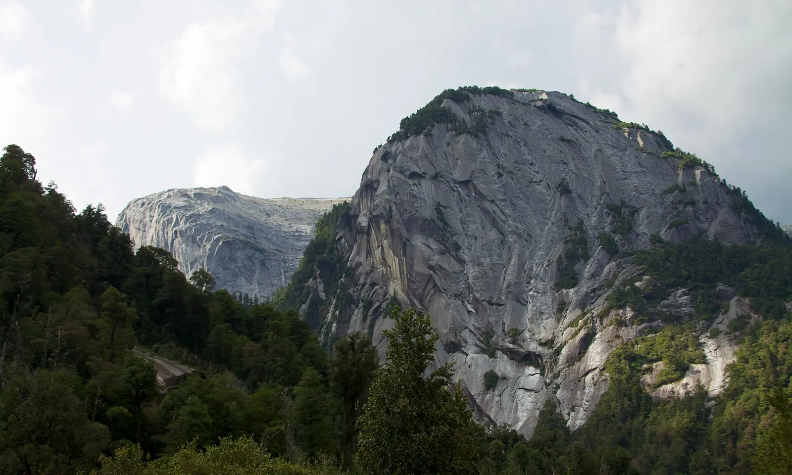
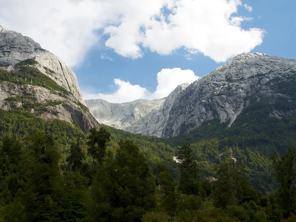
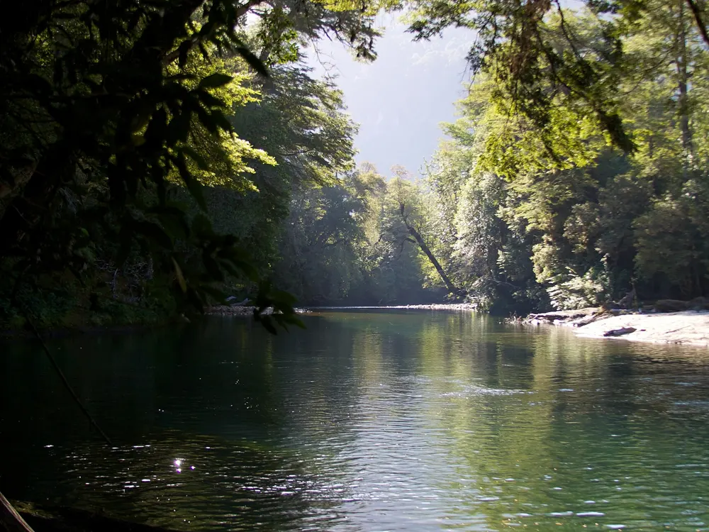
A granite dome above the rainforest of the Cochamó valley

Photos: McKay Savage from London, UK (CC BY 2.0), McKay Savage from London, UK (CC BY 2.0), McKay Savage from London, UK (CC BY 2.0), McKay Savage from London, UK (CC BY 2.0)

Rock
Granite walls up to about 1,000 m
Style
Multi-pitch trad and sport
Approach
4 to 6 hours on foot to La Junta
Best season
December to March

Why go

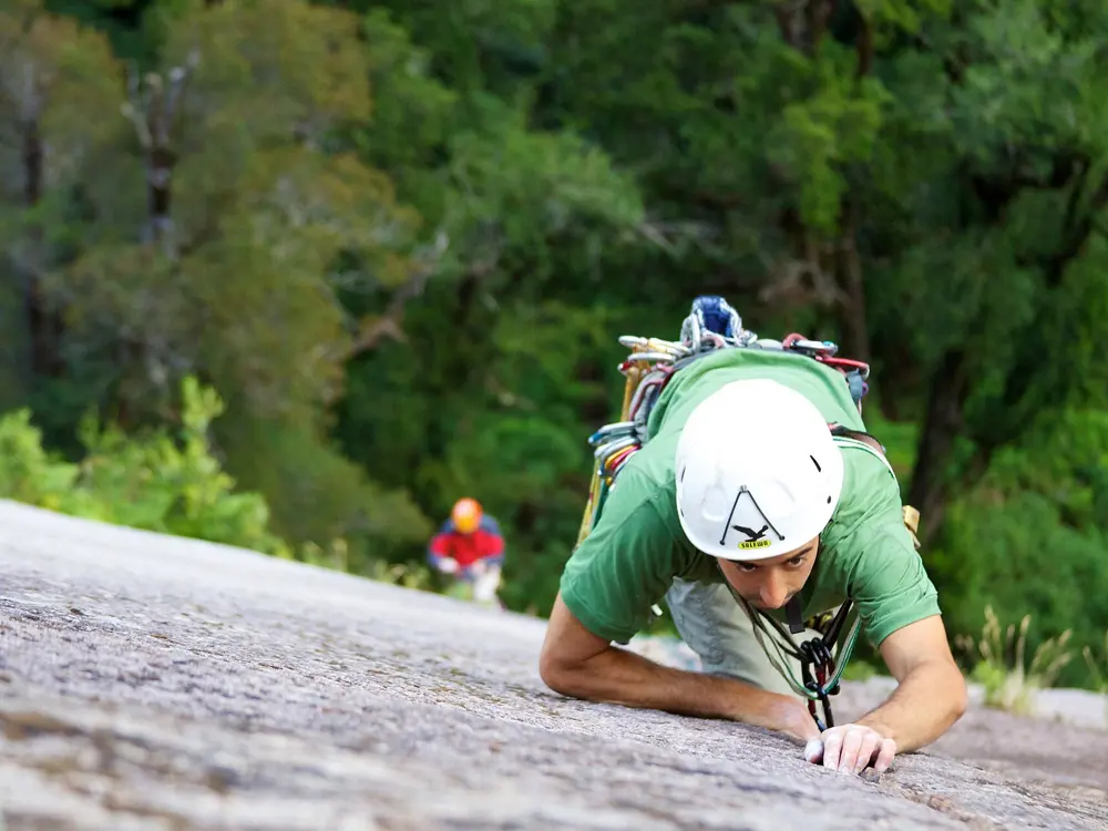
Cochamó is a forested valley of granite domes in northern Patagonia, with no roads or cars once you leave the trailhead. Mountain Project describes thousand-metre granite walls along the Cochamó River, waterfalls between them and rock of excellent quality. Climbers arrive on foot or with packhorses and stay at La Junta, the meadow where the valleys meet, for weeks or months. The walls range from two-pitch crags to long routes on Trinidad, Cerro La Junta and the Anfiteatro.

The route

Classic routes, with Mountain Project grades: Apnea on La Cebra (5.10b, 2 pitches); E.Z. Does It on Trinidad Norte (5.10+, 9 pitches); Bienvenidos a mi Insomnia on Trinidad Norte (5.11a, 20 pitches); Camp Farm on Cerro La Junta (5.11b, 7 pitches); Al Centro y Adentro on Atardecer in the Anfiteatro (5.11+, 12 pitches); Las Manos del Día on Trinidad Central (5.12a, 12 pitches); and Positive Affect on Arco Iris (5.12a, 19 pitches). Harder lines include Entre Cristales y Cóndores (5.13b) and Con Todo El Mundo (5.13) on La Paloma.

When to go

The official site gives December to March as the best time to climb. December depends on the winter's snow, and melt can streak the walls until mid-December; north-facing walls such as Trinidad dry fastest. January and especially February are generally the driest and also the busiest. The season runs from mid-September through April, and the valley's camps are closed from May to mid-September.

Getting there

Fly or take a bus to Puerto Montt or Puerto Varas. Buses run from Puerto Montt to Cochamó in two to three hours and can fill up in January and February. By car, take Route 225 past Ensenada and Ralún. The gravel road ends at the trailhead about 8 km past the river bridge. From there the trail to La Junta takes four to six hours and is often muddy.

Permits and booking

There is no separate climbing permit, but every visitor must register at the visitor centre by the trailhead and show a confirmed camping reservation, booked online in advance. From December to March the whole stay must be prepaid. Access to the trail closes at 3 p.m., and at 2 p.m. in March and April. You may only camp in designated campgrounds, and pets are not allowed.

How hard it is

Grades run from 5.10 to 5.13, and most of the well known lines are long trad or mixed routes on granite. December and April are generally rainier. The footbridge over the Río Piedras collapsed in September 2023, and the crossing is now on planks that can become impassable after heavy rain.

Where to sleep

Camping La Junta is the climbers' base, and the Refugio Cochamó sits nearby; both close in the winter months. There is a maximum capacity, so reserve well in advance, and book packhorses ahead too. Camping Los Pozones near the road end offers parking.

Tips

  • Bring waterproof boots, and gaiters or rubber boots, for the trail.
  • Buy your last supplies in Cochamó town; there is nothing beyond it.
04 / 10

Frey

Cerro Catedral, Nahuel Huapi National Park, Río Negro, Argentina

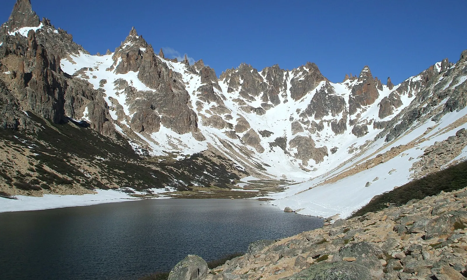
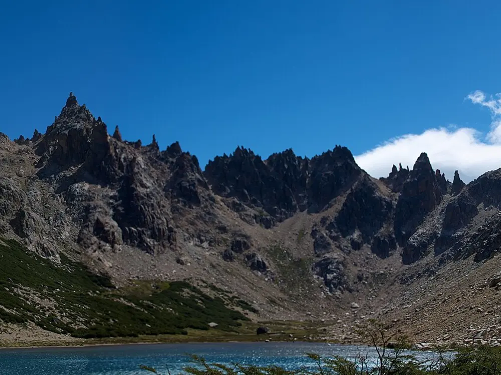
Granite spires of Frey above Laguna Toncek, with snow in the gullies

Photos: Estany3 (CC BY-SA 3.0), McKay Savage from London, UK (CC BY 2.0), McKay Savage from London, UK (CC BY 2.0), .Luc. (CC BY 2.0)

Rock
Granite spires
Style
Trad, mostly cracks
Approach
About 4 hours from Villa Catedral
Best season
December to March

Why go

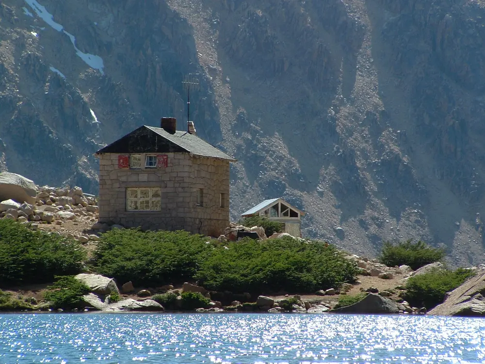
Frey is a cluster of more than thirty granite spires in two cirques above Bariloche, on the back of Cerro Catedral, with a stone mountain hut on the shore of Laguna Toncek. The spires run from about 20 to 250 m, close enough together that you can climb several in a day. The towers have names like the Monk, the Grandfather, the Lunar Rocket and the Old Woman, and Mountain Project calls the climbing often outrageously excellent, with exposed summits.

The route

Mountain Project lists the classics. On Aguja Frey: Diedro de Jim (5.8, 2 pitches), Sifuentes-Weber (5.9, 4 pitches) and Lost Fingers (5.10c, 3 pitches). On Torre Principal, the highest spire: Clemenzo (5.9+, 6 pitches), the Ruta Normal (5.10a, 5 pitches) and Siniestro Total (5.11, 8 pitches). On Campanile Esloveno: Buch-Goin (5.9+, 4 pitches) and Imagínate (5.10b/c, 5 pitches). Objetivo Luna on El Cohete Lunar is 5.10c over 8 pitches.

When to go

The climbing season runs from December to March, with February the driest month. Winds can be extreme, often more than 50 km an hour. The hut stays open through winter, but snow can make the trail impassable.

Getting there

From Bariloche take the 55 bus to Villa Catedral, about 40 minutes, to the last stop. Walk across the car park to the trailhead and hike about four hours, 10.5 km with more than 750 m of climbing, to the refugio. Another way is to ride the Catedral lifts up and follow the ridge, the Filo de Catedral, over loose scree.

Permits and booking

No climbing permit is mentioned by the sources we used. Campers must use the refugio toilets and may not light fires. Porters can be hired at the Club Andino Bariloche.

How hard it is

Climbs range from grade III to 8a, but most are 6 and above, and the guidebook grades can feel stiff. Pitches run 40 to 50 m, and many descents need two ropes. Bring doubles of nuts and cams up to 3.5 inches. Most routes are cracks, with some slab and vertical face.

Where to sleep

Refugio Frey sleeps about 35 and sells meals; book on its website. Most climbers camp in the northern cirque near Laguna Toncek, where water is plentiful.

Tips

  • Buy the guidebook in Bariloche, at the shop next to the Club Andino.
  • Check the trail status on the refugio's website before you set off.
05 / 10

Piedra Parada and La Buitrera

Gualjaina, Chubut, Argentina

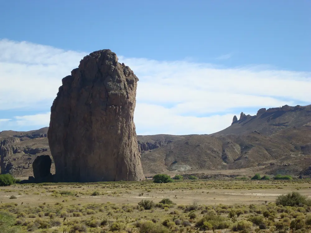
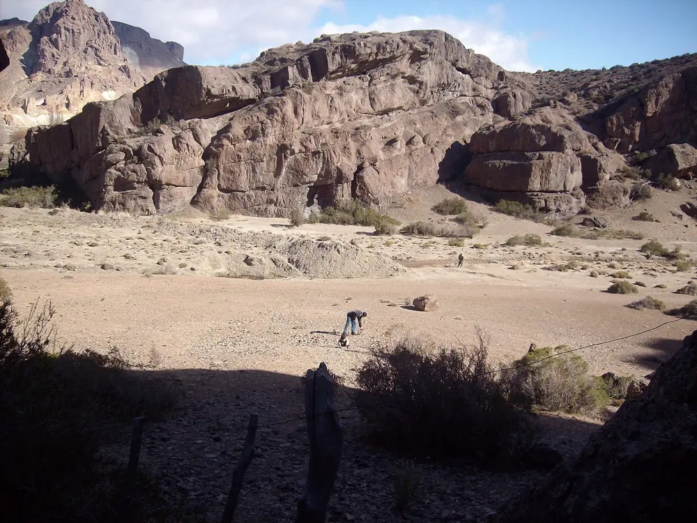
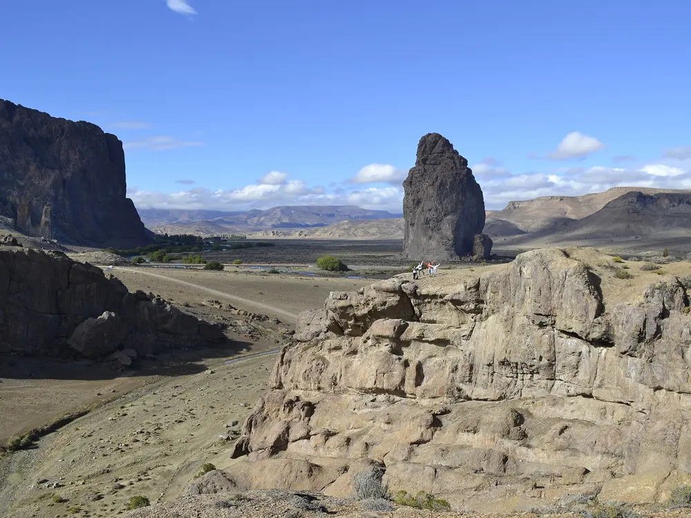
A tall rock pinnacle standing in front of the red walls of La Buitrera canyon

Photos: Fhsosa (CC BY-SA 4.0), Gobierno del Chubut (CC BY 2.0), elgatoboca (CC BY-SA 3.0), Cristian imagine (CC BY-SA 4.0)

Rock
Volcanic tuff
Style
Sport, with some trad and multi-pitch
Grades
5.5 to 5.14
Best season
October and November

Why go

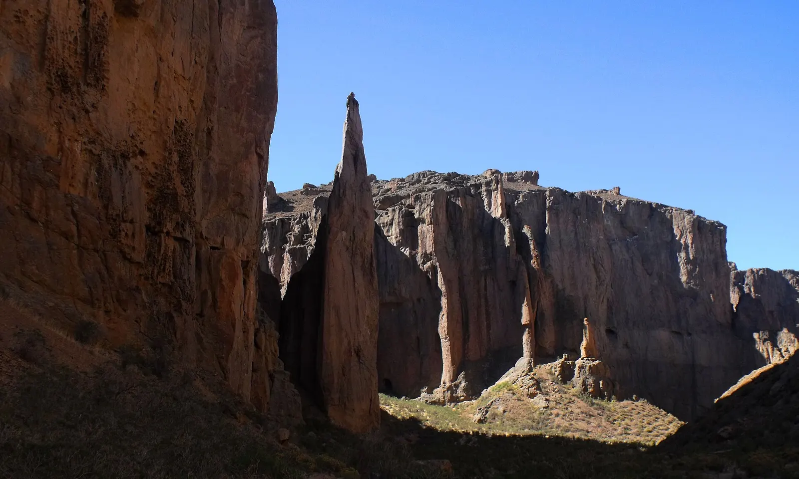
Piedra Parada is a lone tower of volcanic rock more than 200 m high, standing in the dry steppe beside the Río Chubut. It is a remnant of a volcano that erupted here about 50 million years ago. Across the river, the canyon of La Buitrera winds between walls of featured tuff. Damián Benegas and Pablo de la Fuente first climbed the tower in 1993, and in March 2012 the Petzl RocTrip brought 30 climbers who put up more than 100 new sport and trad routes, which made the canyon one of Argentina's main sport climbing areas.

The route

Inside La Buitrera there are 27 climbing areas according to The Outbound, more than 35 sectors according to theCrag, with grades from 5.5 to 5.14. The rock is full of crimps, horns and huecos, and much of it is vertical or gently overhanging, with power-endurance testpieces. On the tower itself, routes such as Sueño Lento and Big Bang climb to the top, and Un Largo Camino a Casa asks for more technique.

When to go

TheCrag gives spring, October and November, as the best time, since summer can be too hot, though there is nearly always some climbing in the shade.

Getting there

From Esquel, take Route 40 and then Provincial Route 12 toward Gualjaina, the nearest town and the last with services. Interpatagonia gives the drive as 82 km, of which 65 km are gravel; distances quoted by other sources vary. The area is hours from any town, with no mobile signal or internet. Reaching the canyon means crossing the Río Chubut, by 4x4 in autumn or otherwise by boat.

Permits and booking

Piedra Parada is a protected area of 132 hectares. No climbing permit is mentioned, but there is a registration book at the canyon entrance that helps the park authority in an emergency.

How hard it is

Most routes are single-pitch sport climbs, well bolted, and tall enough that a 45 m rope is recommended. There is plenty in the moderate grades, but the canyon is known for steep, powerful climbing. Bring all your food, and warm clothing for the cold nights in the steppe.

Where to sleep

There are two paid campsites nearby and free camping on the south side of the river. The Outbound describes camping at the Moncado family's working ranch, a few minutes' walk from the climbing.

Tips

  • The latest guidebook, Guía de Escalada Piedra Parada y La Buitrera by Fernando Martín Molina, dates from 2014; check theCrag for newer routes.
  • Spanish is the only language spoken locally.
06 / 10

Los Gigantes

Sierras Grandes, Córdoba, Argentina

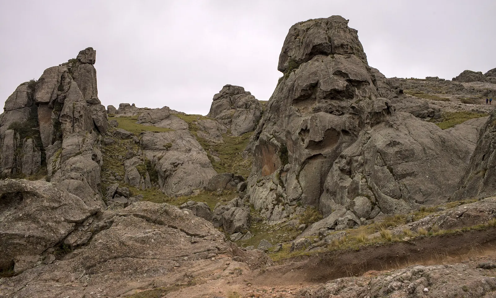
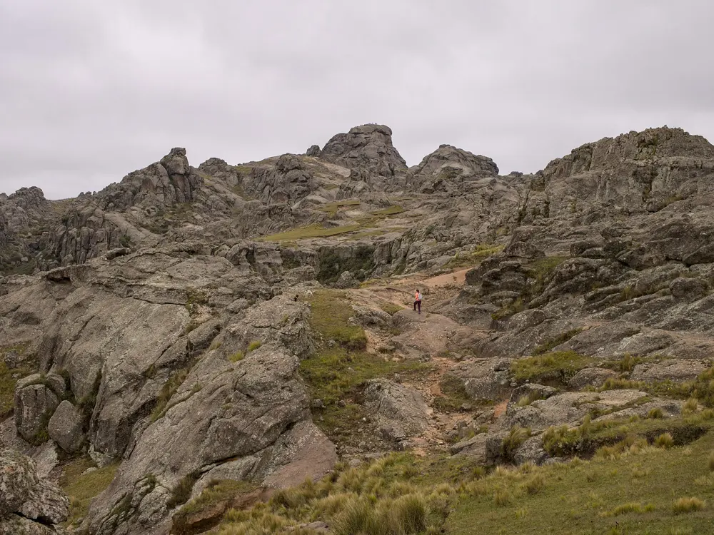
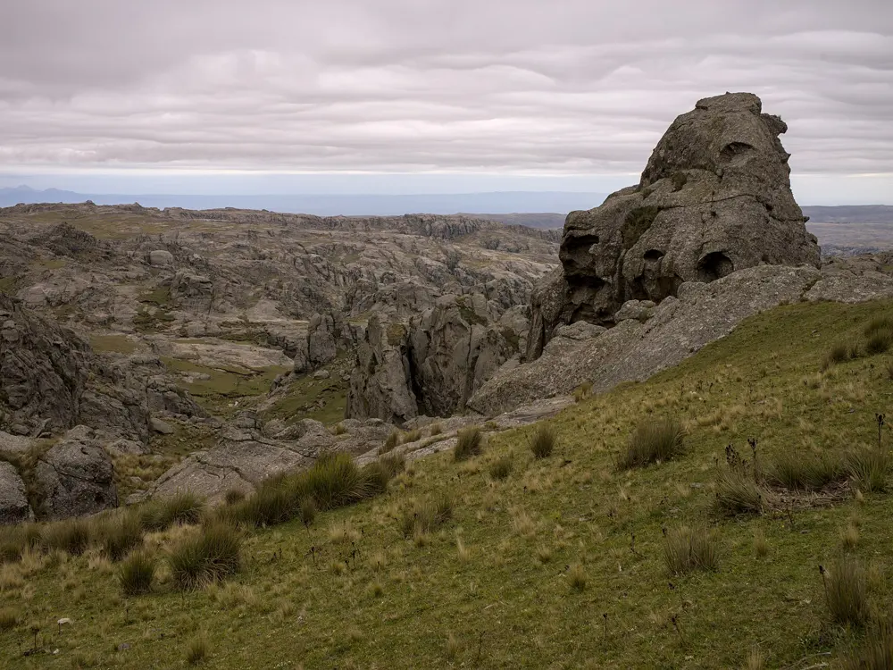
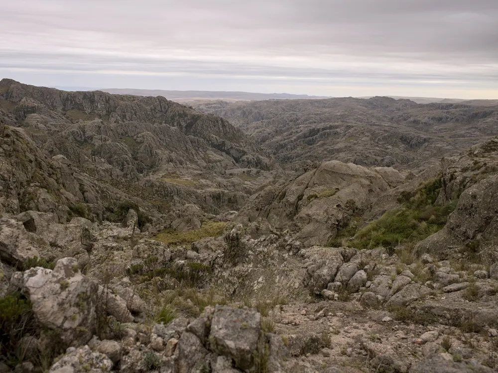
Rounded granite towers on the plateau of Los Gigantes under a grey sky

Photos: Gedankenstuecke (CC BY-SA 4.0), Gedankenstuecke (CC BY-SA 4.0), Gedankenstuecke (CC BY-SA 4.0), Gedankenstuecke (CC BY-SA 4.0)

Rock
Granite
Routes
More than 400 sport routes
Highest point
Cerro Mogote, about 2,374 m
Best season
March to June

Why go

Los Gigantes is a granite massif at the northern end of Córdoba's Sierras Grandes, part of the Achala batholith, a granite body formed roughly 350 to 500 million years ago. Argentina's tourism board calls it one of the country's main rock climbing centres, with more than 400 routes bolted for sport climbing. The rock is spread across a high plateau of towers, gullies and streams, reached only on foot.

The route

The routes are spread over many crags across the massif rather than in one wall. The west face of Cerro de la Cruz, described as the highest cliff in the massif, has about 25 granite routes, and many can be linked into climbs of three or four pitches, with an easy descent or abseil. Cerro Mogote, the highest summit, is reached by the Sendero Norte from Casas Nuevas, about four hours on foot.

When to go

Meteored names March to June as the ideal time to visit. Summer is good for streams and waterfalls but can be very hot. Nights are cold all year.

Getting there

From Córdoba, take National Route 20 and Provincial Route 28, 79 km in total; the last part is gravel. The road ends at Casas Nuevas, a small base at the foot of the massif, and from there everything is on foot.

Permits and booking

Meteored reports a mandatory registration with Córdoba's Secretaría de Ambiente before entering. Argentina's tourism board recommends a licensed guide, because the area has hazards, and many trails are unmarked and it is easy to get lost among the rocks.

How hard it is

The climbing is mostly bolted sport routes on granite, with multi-pitch options on the bigger faces. The plateau is remote, and mobile coverage is limited, so a fall or a lost route is serious. At about 2,000 m the nights are cold.

Where to sleep

Overnight trekkers stay at the stone Refugio El Gigantillo, several hours' walk in, beside a small grove of old tabaquillo trees. Bring a tent, warm clothing and all your food.

Tips

  • Carry plenty of water and trekking poles; the paths cross streams and steep valleys.
  • Book the registration before the trip, not at the road end.
07 / 10

Hatun Machay

Cordillera Negra, Áncash, Peru

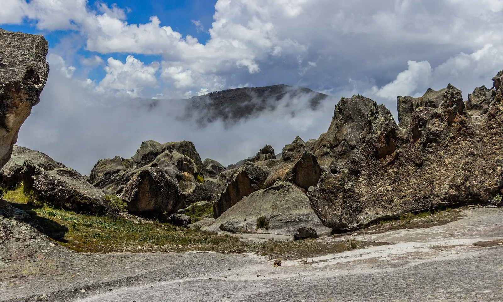
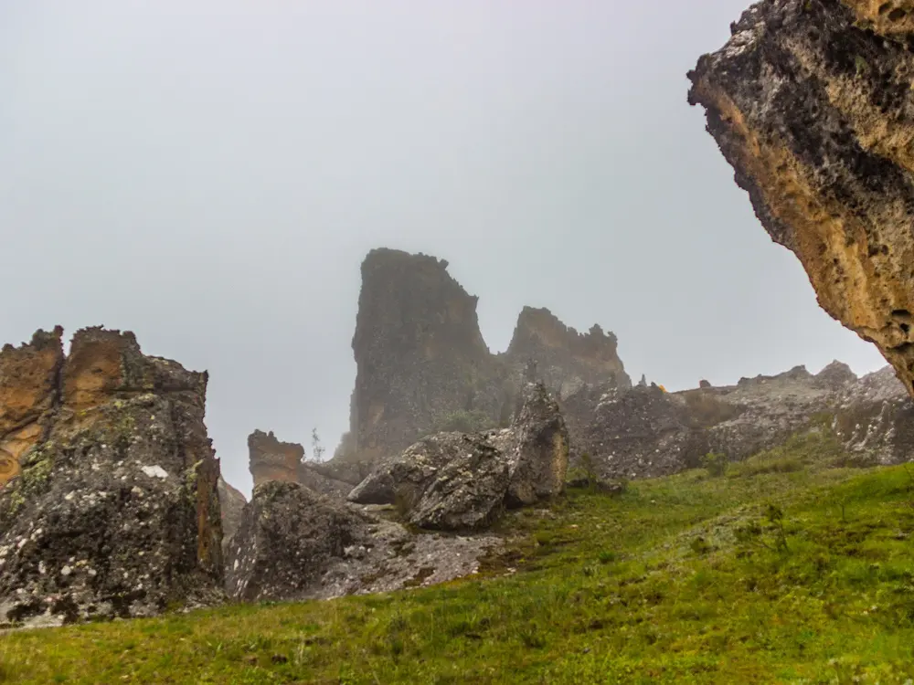
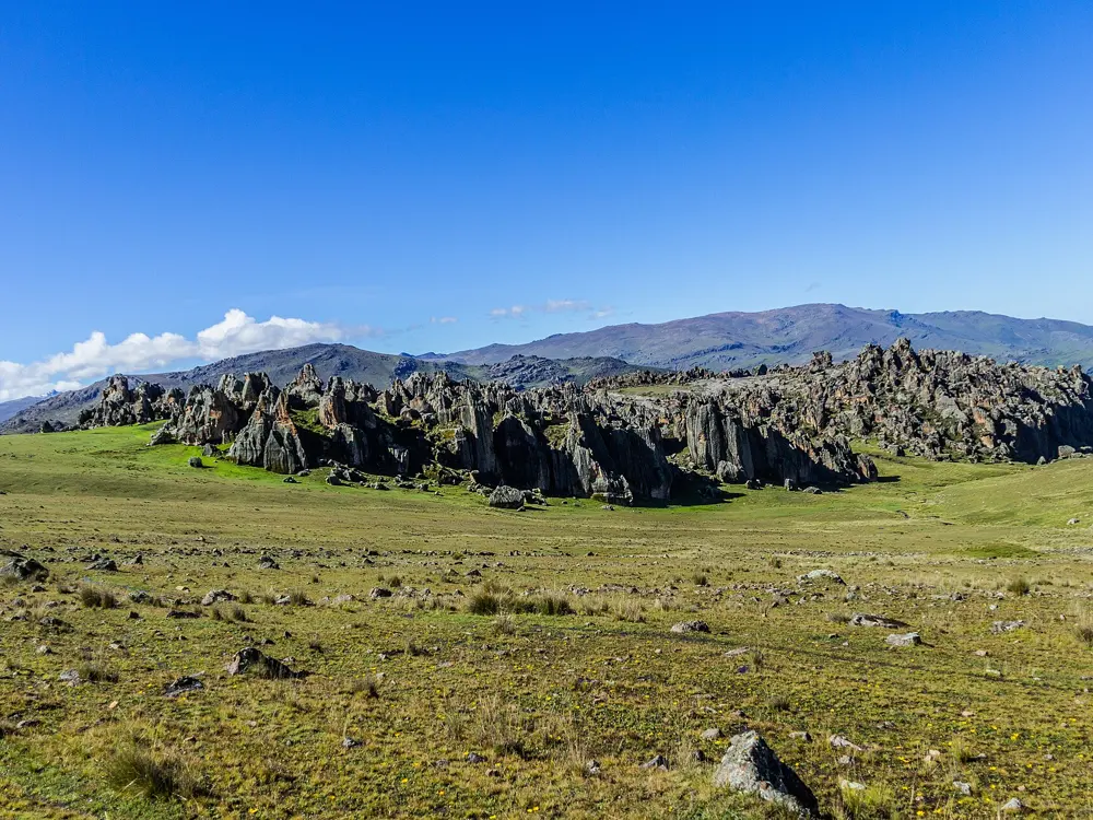
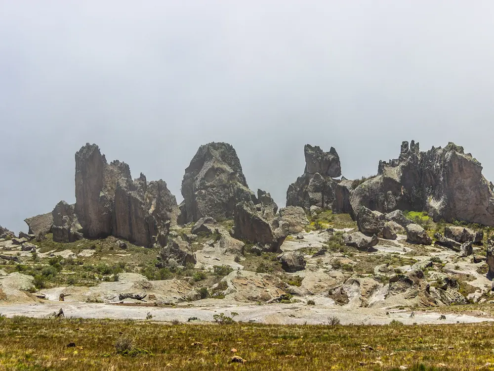
Volcanic towers of Hatun Machay under a blue sky with cloud in the valleys

Photos: Apollo⠀ (CC BY 2.0), Apollo⠀ (CC BY 2.0), Apollo⠀ (CC BY 2.0), Apollo⠀ (CC BY 2.0)

Rock
Volcanic rock forest
Altitude
About 4,250 m
Routes
About 250 to 300 sport routes
Best season
May to September

Why go

Hatun Machay is a forest of volcanic towers above 4,000 m in the Cordillera Negra, with views across to the snow peaks of the Cordillera Blanca and the Huayhuash. It is Peru's leading sport climbing area, with the country's densest concentration of bolted routes inside about a kilometre. It is also an important archaeological site, with ancient rock art among the crags.

The route

UKC's listing gives roughly 250 single-pitch sport routes from F4+ to F8b+, about ten multi-pitch sport routes and plenty of bouldering. The Wandering Climber reports that the area once had more than 400 bolted routes, that about 100 were chopped after a land dispute between the former manager of the refugio and the landowners, and that about 300 remain. The grades concentrate in the 6a to 6c range. The Rhino is a classic highball boulder.

When to go

The prime season is the dry winter, May to September. The weather can be unpredictable at any time, and from December to April afternoons are often rainy.

Getting there

The turn-off is about 70 km south of Huaraz. Take a bus to Catac, then a bus or a ride south on Highway 3N to the gravel road, and walk uphill for one and a half to two hours; a taxi from Catac costs around 15 to 20 US dollars, according to The Wandering Climber.

Permits and booking

There is an entry fee for climbing, paid at the site; theCrag listed 13 soles per person in 2023, and The Wandering Climber gives 10 soles. Respect the access restrictions in some areas, and never climb on or near the rock art.

How hard it is

Most routes are single-pitch and well bolted on strong, heavily featured rock. The altitude is the real difficulty: arrive acclimatised, and expect cold nights and strong sun.

Where to sleep

Accounts of the refugio differ. TheCrag describes a modern hut with a kitchen and hot water five minutes from the crag. The Wandering Climber, updated in 2022, describes it as a hollowed-out building that only gives shelter from wind and rain, with camping at about 10 soles a night. Bring your own food and check the current situation in Huaraz before you go.

Tips

  • Ask for the current route topo at the site or in Huaraz, since routes have been removed.
  • Huaraz's own crag, Los Olivos, is within the city and good for a first day.
08 / 10

Pão de Açúcar (Sugarloaf Mountain)

Urca, Rio de Janeiro, Brazil

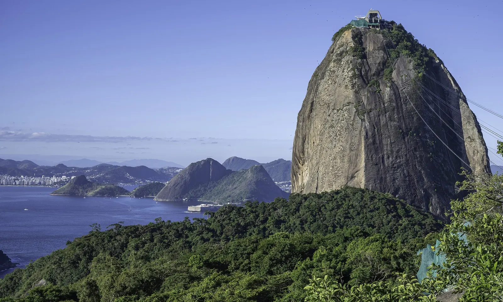
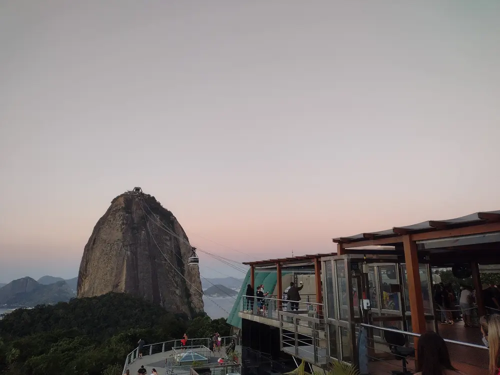
The granite dome of Sugarloaf Mountain above forest and Guanabara Bay

Photos: Wilfredor (CC0), Donatas Dabravolskas (CC BY-SA 4.0), Boaventuravinicius (CC BY-SA 4.0), Wilfredor (CC0)

Height
396 m above the harbour
Style
Multi-pitch, bolts and trad
Routes
More than 270 in the Urca area
Best season
May to September

Why go

Sugarloaf rises 396 m straight out of Guanabara Bay, and with Morro da Urca and Morro da Babilônia beside it, it forms one of the largest urban climbing areas in the world: more than 270 routes of one to ten pitches. It is a granite and quartz monolith, protected since 2006 as a natural monument and part of a UNESCO World Heritage Site since 2012. Urca is the centre of Rio's climbing community, and you can finish a route at the summit and ride the cable car down over the city.

The route

Mountain Project lists the classics. Via dos Italianos on the west face, under the cable car, is 5.10a/b over 9 pitches. Secundo Costa Neto is 5.11 over 10 pitches, the Waldemar Guimarães, or Waldo, 5.11+ over 10. Cavalo Louco is 5.10c/d over 6 pitches, Chaminé Stop 5.7 over 7, and Coringa 5.6 over 3. The Via do Totem on the south face goes at 5.11+. There are five main areas: the four faces and the Totem.

When to go

You can climb in Rio all year, but winter, May to September, is the best season: cooler and drier. Summer is hotter and wetter.

Getting there

The climbs start in the Urca district. The west and north faces are reached by a trail over the shoulder between Pão de Açúcar and Urca, the south face by small climbers' paths off the paved path, and the east face by walking to the end of the paved trail and crossing 4th and 5th class ground.

Permits and booking

Mountain Project mentions no climbing permit. The cable car down to the first station is free for climbers coming off the top; from there walk down the access trail to the car park, unless it is after 7 p.m.

How hard it is

Many of the big routes are bolted, but expect run-outs and a very traditional feel; the slabby routes in particular are committing. The Costão, the line up the back that many people think is a scramble, is a technical climb with an exposed 5.7 face that has caused injuries and deaths. Bring long runners and a 60 m rope.

Where to sleep

Climbers stay anywhere in Rio and walk or take a short ride to Urca. The crag is inside the city, so there is no camping.

Tips

  • Buy the Urca guidebook by Flavio Daflon and Delson de Queiroz in Rio's climbing shops, including one near the park entrance.
  • Treat the Costão as a roped climb, not a walk.
09 / 10

Pedra do Baú

São Bento do Sapucaí, São Paulo, Brazil

Pedra do Baú and Bauzinho rising above green pasture

Photos: Jsfouche (CC BY-SA 3.0), NANCY AYUMI KUNIHIRO (CC BY-SA 4.0), NANCY AYUMI KUNIHIRO (CC BY-SA 4.0), NANCY AYUMI KUNIHIRO (CC BY-SA 4.0)

Rock
Gneiss
Summit
About 1,950 m
Routes
More than 200 in the complex
Wall height
Up to about 400 m

Why go

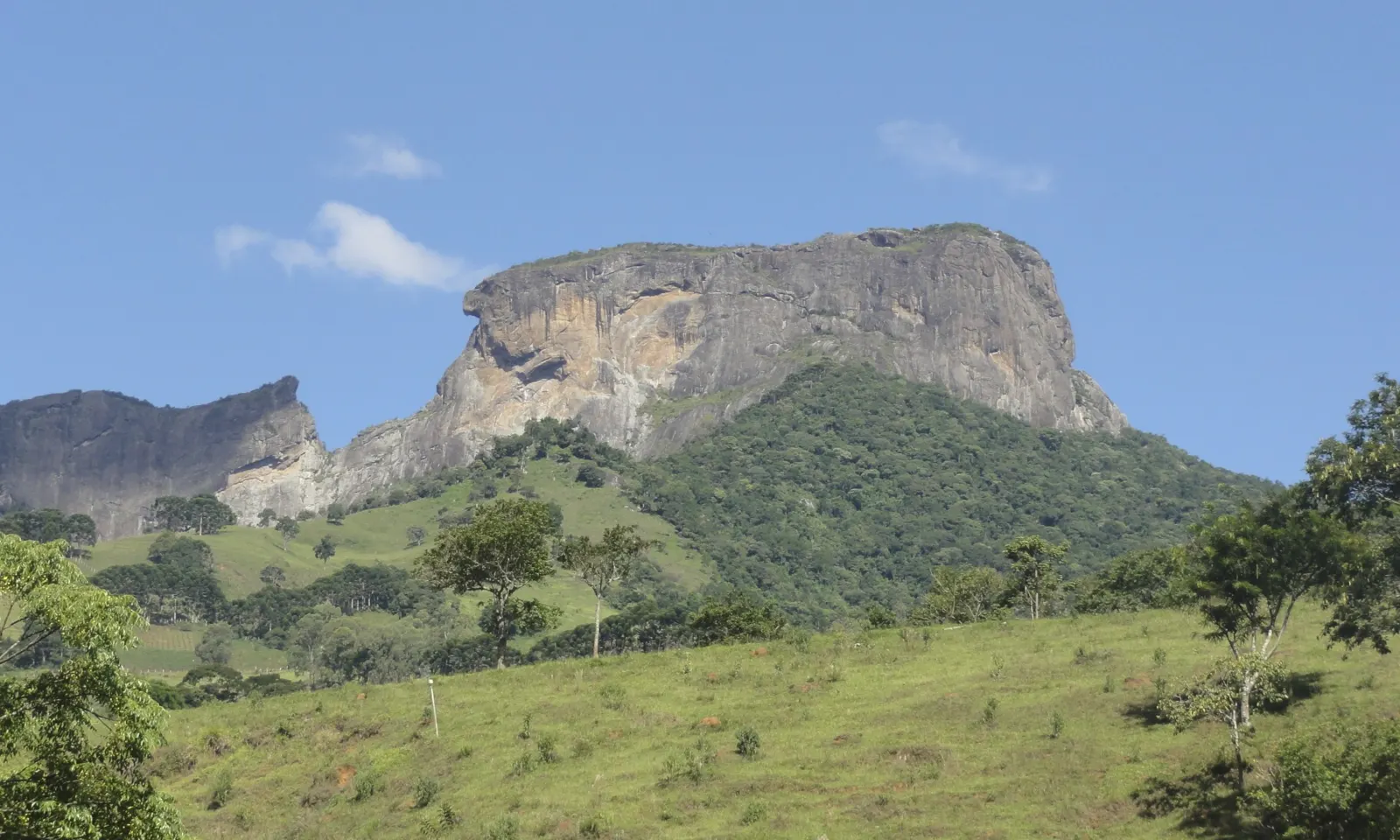
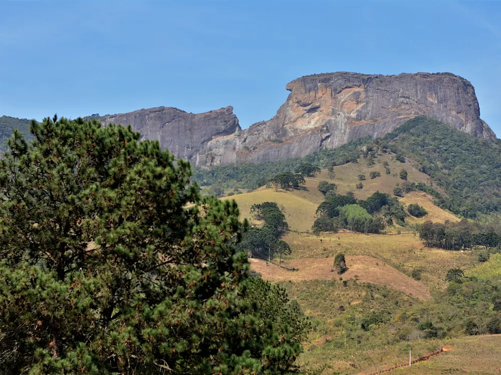
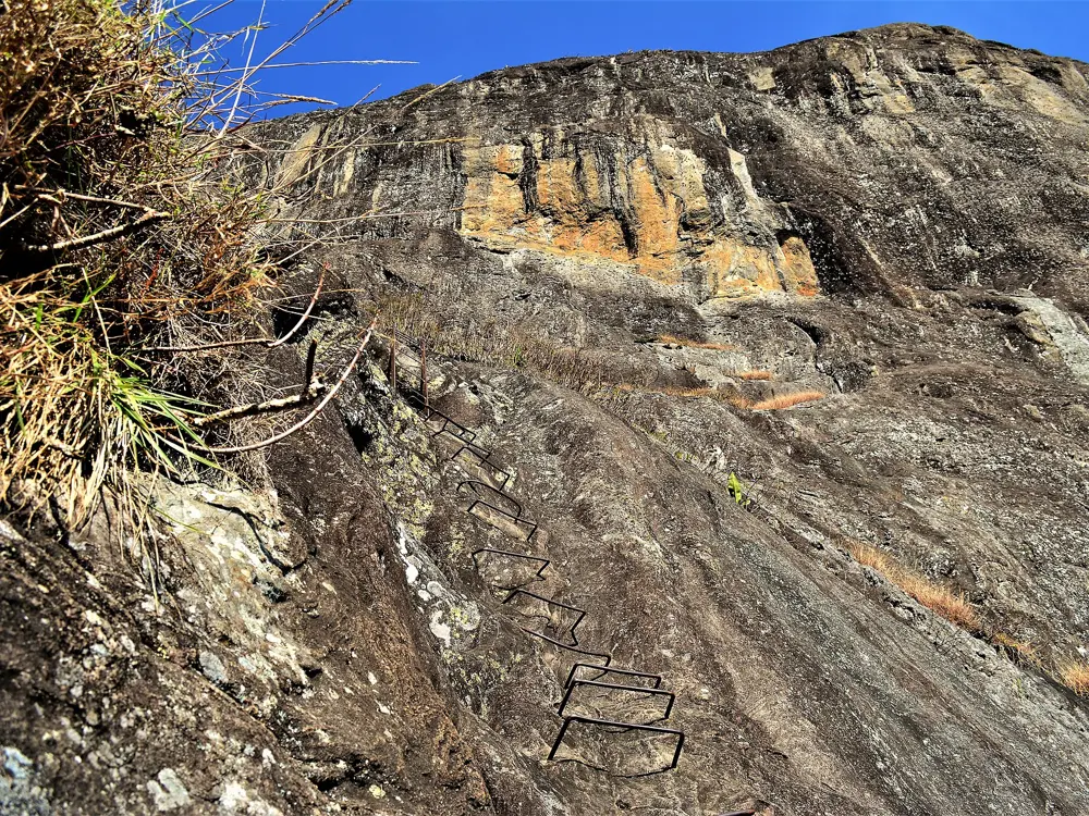
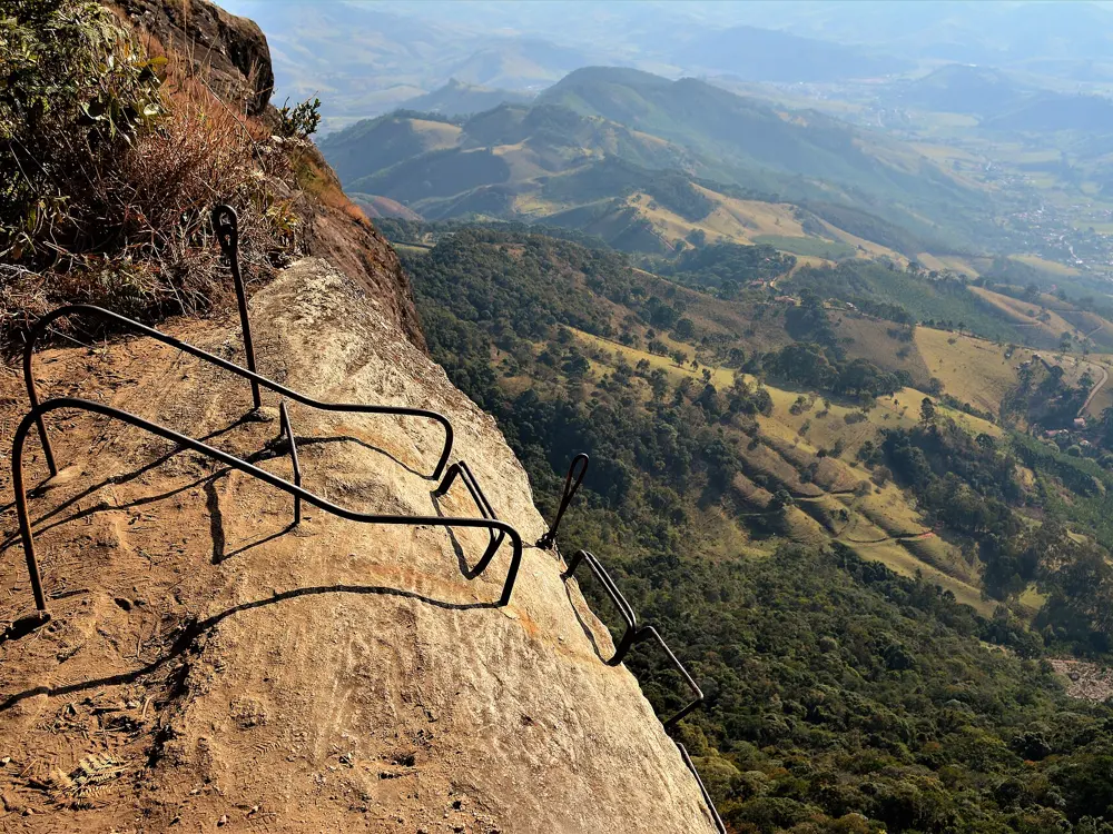
Pedra do Baú is a gneiss complex in the Mantiqueira mountains made of three formations: Pedra do Baú itself, Bauzinho and Ana Chata. There are more than 200 climbing routes in the complex, from 15 m to 400 m long, many of them multi-pitch. The first ascent was in 1940, and from 1942 a local businessman paid for iron rungs to be fixed up the rock, the start of a via ferrata that still climbs to the summit. Since December 2010 the area has been a state natural monument of 3,154 hectares.
The route

On the north face, Transbaú is the best known: 8 pitches, 273 m, 5.11a, mostly bolted, with a 5.10c crux on gear and two short 5.11 sections. Parque dos Dinossauros and Marvada Bunda are harder north-face lines. Cresta and the Normal do Baú follow the ridge. On Bauzinho, V de Vingança (5.8 with a 5.10 crux, 6 pitches) is a classic, and Neurônios Fritos is a big wall route that usually needs a night on the wall. Ana Chata has mostly multi-pitch routes on its north face.

When to go

Mountain Project's Brazil page gives May to September as the best window for climbing across the country, when the weather is cooler and drier. Our sources give no separate season for the Baú itself.

Getting there

São Bento do Sapucaí is about 200 km from São Paulo. For Transbaú, park at the Restaurante Pedra do Baú and follow the path to the metal ladder of the north face; the start is about 100 m to the left. The round trip to the Baú from the restaurant or the Chico Bento car park is about 3.5 km.

Permits and booking

Mountain Project notes that registration is required as of 2026; it is free but checked at the trailheads. The summit trail by the iron rungs must be booked ahead, and a harness, rope, helmet and the rest of the safety kit are mandatory on it. A 2023 report gave the park hours as 9 a.m. to 4 p.m., but check before you go.

How hard it is

Grades on Pedra do Baú cover everything from easy ridge routes to hard face climbing. Transbaú is typical of the bigger lines: technical, exposed face, runout easy pitches and short hard cruxes. Bring a set of cams from 0.4 to 4, a 60 m rope (two are better) and long slings.

Where to sleep

Camping on the Pedra do Baú is not allowed. Climbers stay in São Bento do Sapucaí or nearby Campos do Jordão.

Tips

  • A local guidebook by Eliseu Frechou covers the routes.
  • If you are not climbing a route, the via ferrata needs a guide or your own full equipment.
10 / 10

Dedo de Deus and the Serra dos Órgãos

Serra dos Órgãos National Park, Rio de Janeiro, Brazil

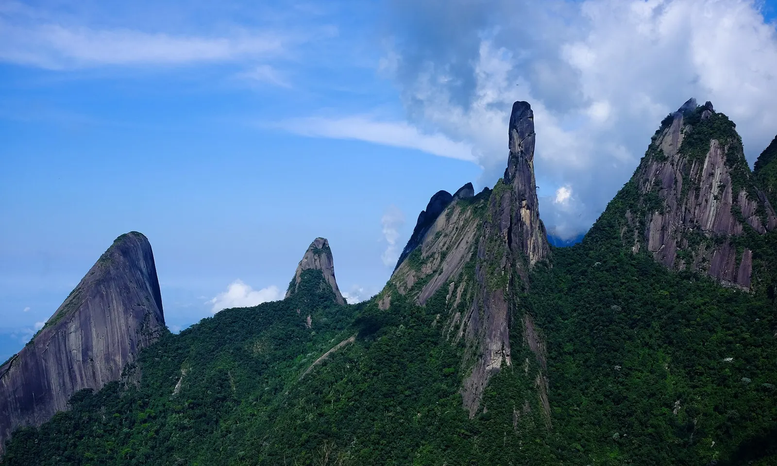
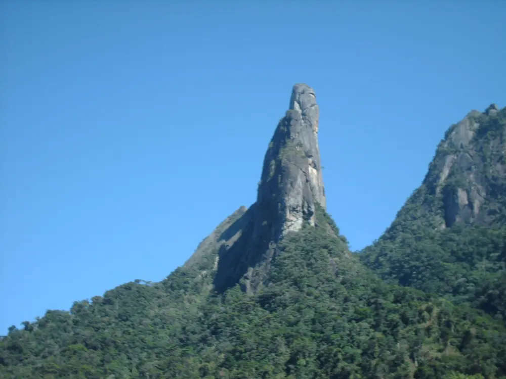
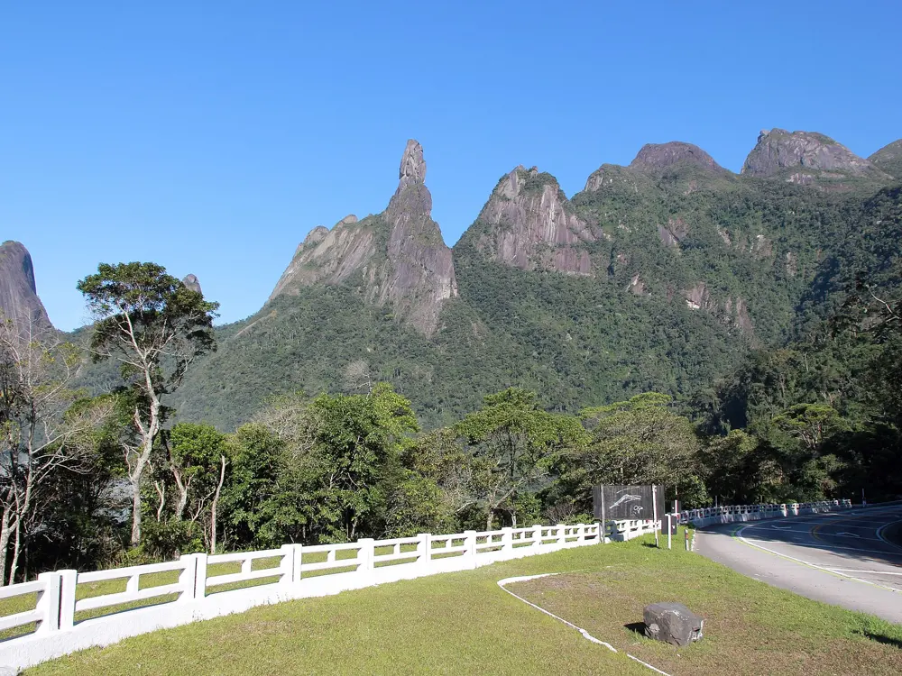
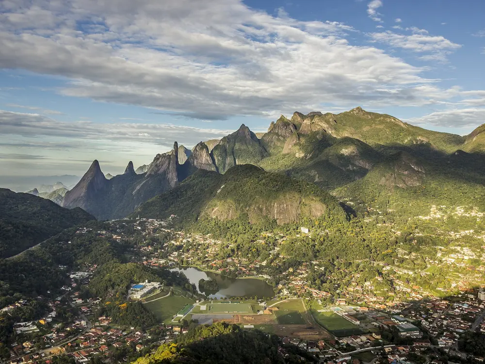
The Dedo de Deus and neighbouring peaks of the Serra dos Órgãos seen from Teresópolis

Photos: Jorge Antonio de Oliveira Vicente (CC BY-SA 3.0), No machine-readable author provided. Gravls~commonswiki assumed (based on copyright claims). (Public domain), Halley Pacheco de Oliveira (CC BY-SA 3.0), Shooterb9 (CC BY-SA 3.0)

Height
1,692 m
First ascent
1912
Classic
East face, about 240 m, 5.9 A0
Best season
May to September

Why go

The Dedo de Deus, the Finger of God, is a rock spire of 1,692 m above Teresópolis, and its first ascent in 1912 is counted as the beginning of climbing in Brazil. European mountaineers had called it impossible; a Brazilian party reached the top using shoulder stands and a hauled tree trunk to pass the last pitch. The Serra dos Órgãos National Park around it holds a range of spires, among them the Agulha do Diabo, and a long tradition of adventurous climbing.

The route

The usual route is the east face by the Maria Cebola variation, given by ChossClimbers as about 240 m and 8 pitches at 5.9 A0; 27 Crags grades the Teixeira route, the line of the 1912 party, at 5+. The upper part is a series of chimneys, and the last pitch has a ladder past an overhanging block. The descent goes down the north face with hiking, wet slab and several abseils. The Agulha do Diabo, a two-day trip, is about eight pitches of chimneys on its normal route after a 12 km walk to a mountain hut.

When to go

Mountain Project's Brazil page gives May to September as the best climbing window, cooler and drier. In Teresópolis, from May to September temperatures in Teresópolis sit between 15 and 25 °C; from October to March they run 18 to 30 °C, and it is hotter and more humid. The approach slabs are often wet at any time of year.

Getting there

Teresópolis is 96 km from Rio de Janeiro. The Dedo de Deus approach starts from the highway below the park, with a steep climbers' trail of about an hour and then fixed cables over slabs to the start of the east face. Guided day trips run from Rio.

Permits and booking

The park is run by ICMBio, and guides working in it must be accredited. In 2021 a pair who were flown to the summit by helicopter and camped there without authorisation were fined, so follow the park's rules on overnight stays.

How hard it is

The climbing is not hard by modern standards, but the day is long: an early start, exposed approach, chimneys and a complex descent. Guides ask that you be comfortable climbing 5.9. The Agulha do Diabo is a more serious two-day outing.

Where to sleep

Teresópolis has hotels and guesthouses. For the Agulha do Diabo, climbers stay at the park's mountain hut, where there is a prepaid hot shower; bring your own drinking water for both days.

Tips

  • Leave very early; a team leaving Rio at 4 a.m. was back at the car by 4 p.m.
  • Ask locally about the forest and abseil sections of the descent, which are not obvious.

Sources

Distances, heights, seasons and permit rules were checked against these pages. Rules change, so check the park or trail authority before you go.