Rungs Labs

Rungs Pilgrimage · Climbing · United Kingdom

The 10 Best Places for Rock Climbing in the UK

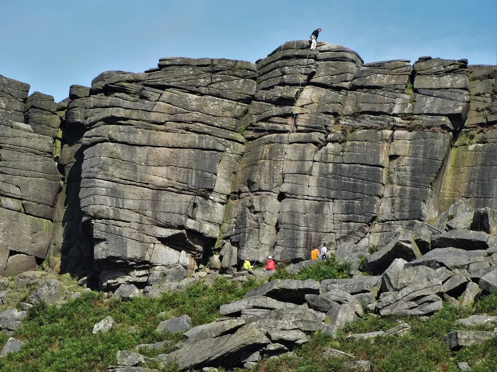
Stanage Edge, Peak District National Park, Derbyshire, England. Photo: Stephen Burton (CC BY-SA 2.0)

The United Kingdom has gritstone edges, limestone sport crags, mountain cliffs and some of the finest sea cliffs anywhere, almost all of it climbed with traditional gear. These ten run from Stanage in the Peak District, Malham Cove in the Yorkshire Dales and Borrowdale in the Lake District, through the Llanberis Pass, Gogarth and Pembroke in Wales and the granite of West Penwith in Cornwall, to the Cuillin of Skye and the Old Man of Hoy in Scotland and Fair Head in Northern Ireland.

For each one you get the rock, the classic climbs and grades, the best season, how to get there, the access rules, bird restrictions and tides, how hard it is and where climbers stay. Every fact comes from the BMC's access database, park and land bodies, climbing clubs, guidebook publishers, UKClimbing or the other pages linked at the bottom.

Updated 2026-10-18

  1. 01Stanage EdgePeak District National Park, Derbyshire, England
  2. 02The Llanberis PassEryri National Park (Snowdonia), Gwynedd, Wales
  3. 03GogarthHoly Island, Anglesey, Wales
  4. 04Malham CoveYorkshire Dales National Park, North Yorkshire, England
  5. 05The Cuillin and Sron na CicheIsle of Skye, Scotland
  6. 06BorrowdaleLake District National Park, Cumbria, England
  7. 07West Penwith: Bosigran and Chair LadderLand's End peninsula, Cornwall, England
  8. 08The Old Man of HoyHoy, Orkney, Scotland
  9. 09PembrokePembrokeshire Coast National Park, south Wales
  10. 10Fair HeadNear Ballycastle, County Antrim, Northern Ireland
01 / 10

Stanage Edge

Peak District National Park, Derbyshire, England
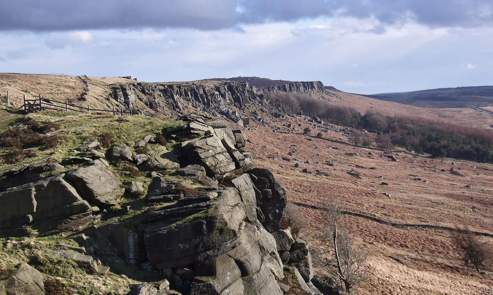
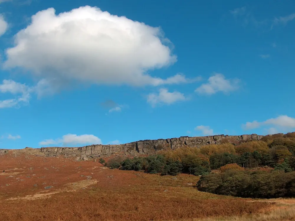
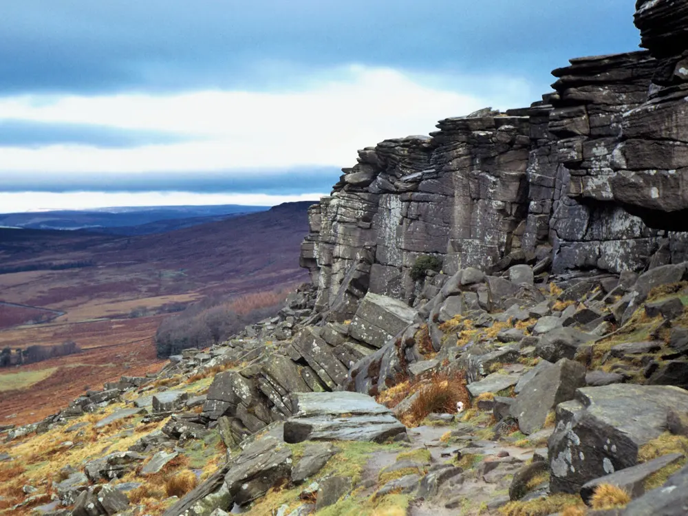
The long gritstone escarpment of Stanage Edge above moorland in the Peak District

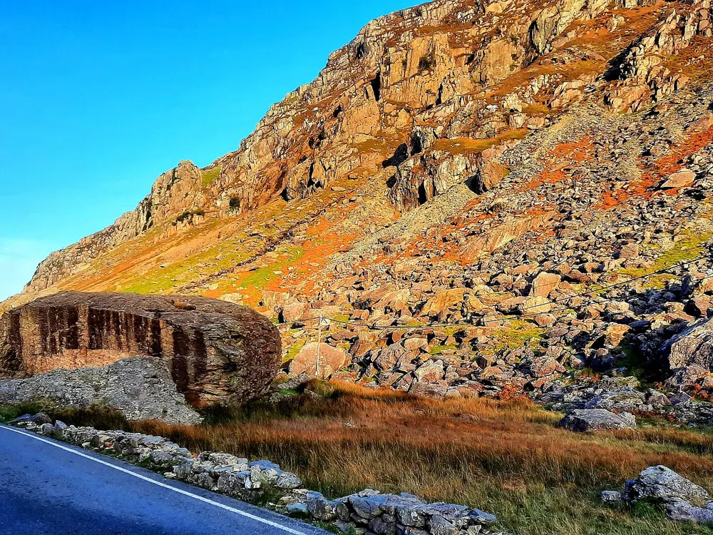
Photos: Stephen Burton (CC BY-SA 2.0), Neil Theasby (CC BY-SA 2.0), Neil Theasby (CC BY-SA 2.0), Vicky van Dal (CC BY-SA 4.0)

Rock
Millstone Grit (gritstone)
Style
Single pitch trad and bouldering
Routes
1,900 in the BMC's crag record
Height
Up to about 25 m

Why go

Stanage is the best known gritstone edge in Britain, and the BMC rates it of international importance. The edge runs for about three miles north from the Cowper Stone to Stanage End, above Hathersage, and climbers have been coming since the 1890s. Many of the routes are easy, well protected crack lines, so it is also where a lot of British climbers lead their first route.

The route

On the Popular End, Hollybush Crack (VD, 14 m) and Flying Buttress (HVD 4a, 24 m) are three star starters, and Black Hawk Hell Crack is S 4a. Right Unconquerable (HVS 5a), first climbed by Joe Brown in 1949, was a milestone in British climbing, and the Tippler is E1 5b. The Cowper Stone at the southern end holds hard routes from the 1980s by Johnny Dawes and John Allen. The Plantation below the central section is one of the main bouldering areas of the Peak.

When to go

You can climb here all year. The main edge faces mostly southwest and dries quickly after rain, while Stanage North faces west or northwest and takes longer. Harder routes and boulder problems go best on cool, dry days in autumn and winter, when the friction is at its best, but the edge is exposed and strong winds are common.

Getting there

Hathersage station is on the line between Sheffield and Manchester Piccadilly, and you walk up to the edge from the village. By car, the North Lees Estate has 310 formal parking spaces in pay and display car parks at Hooks Carr (for the Popular End), the Plantation and Dennis Knoll (for High Neb). The BMC lists Hooks Carr as partly closed for resurfacing from 1 October to 6 November 2026, with full closure at times.

Permits and booking

No permit is needed. Stanage is open access land owned by the National Park Authority, which can restrict access for up to 28 days a year. Ring ouzels nest on the edge and signs go up where climbing may disturb them; nest sites change each year. Dogs are banned from High Neb westwards.

How hard it is

Routes are short, typically 10 to 15 m, and run from Moderate to E8. Gritstone is graded on the British trad scale, and the rounded breaks and jamming cracks feel hard to climbers used to bolts or limestone.

Where to sleep

North Lees campsite, owned and run by the National Park Authority, sits in a sheltered valley 1.5 miles north of Hathersage. It has camping pods and open grass fields; pitches are booked online, and groups of more than five must email the site. Parking is limited, so book a pitch with a reserved bay if you are bringing a car.

Tips

  • Car crime is frequent at the Stanage car parks; leave nothing on display.
  • Check the BMC Regional Access Database before you go for the current bird and parking notices.
02 / 10

The Llanberis Pass

Eryri National Park (Snowdonia), Gwynedd, Wales

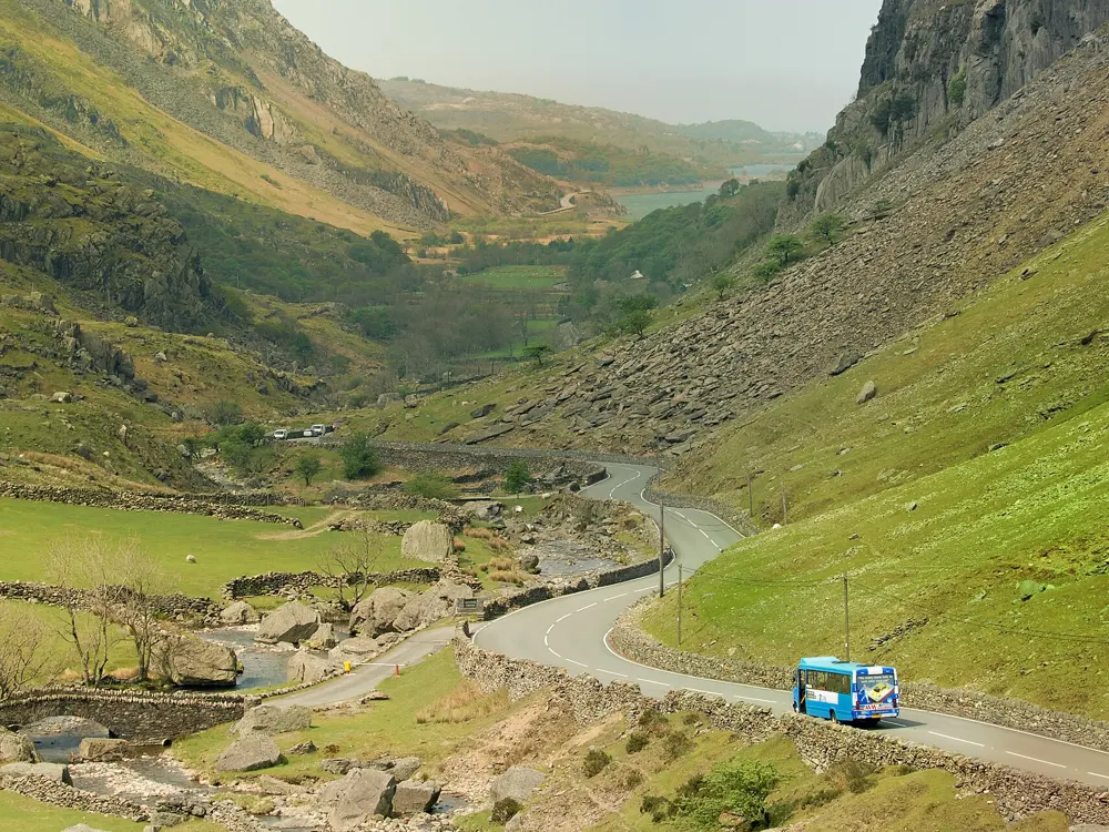
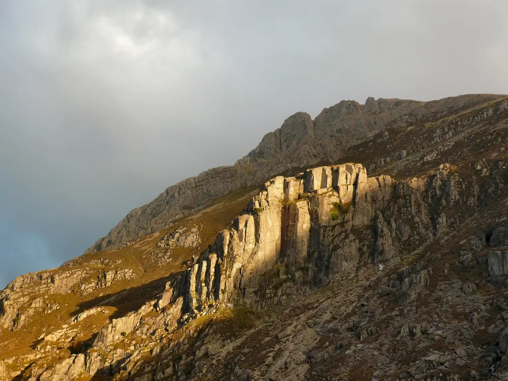
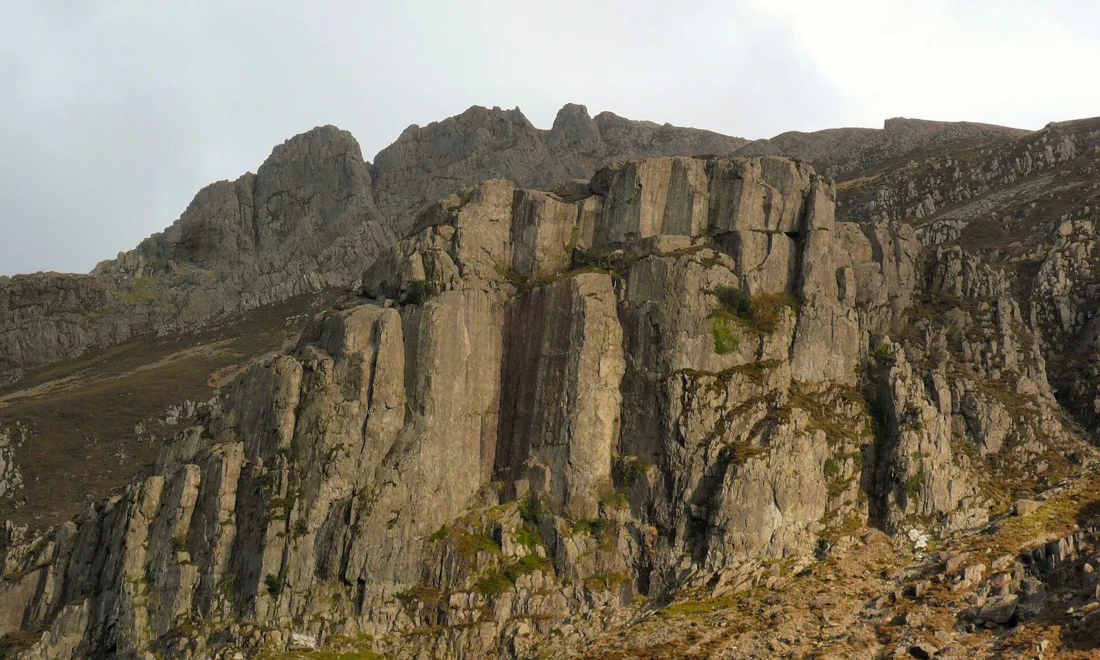
Dinas Cromlech above the Llanberis Pass, with the open book of Cenotaph Corner in the middle of the crag

Photos: Siaron James (CC BY 2.0), Hefin Owen from Wales (CC BY-SA 2.0), Denis Egan from Bangor, Gwynedd, North Wales (CC BY 2.0), Siaron James (CC BY 2.0)

Rock
Rhyolite and other volcanic rock
Style
Trad, single pitch and multi-pitch
Routes
Over 80 on Dinas Cromlech alone
Classic
Cenotaph Corner, E1 5c

Why go

The Llanberis Pass, the road between Llanberis and Pen y Pass below Yr Wyddfa, has more famous British rock climbs per mile than anywhere else. Its centrepiece is Dinas Cromlech, an open book of volcanic rock above the A4086 that you can see from the road. Joe Brown, Don Whillans, Pete Livesey and Ron Fawcett all made their names on its walls, and many of their routes are still the tests that climbers measure themselves against.

The route

Cenotaph Corner, the near right angled corner in the middle of the Cromlech, was first climbed by Joe Brown and Doug Belshaw in 1952 and goes at E1 5c. On its left is Left Wall (E2 5c, Ron Moseley, 1956), and on its right Cemetery Gates (E1 5b, Don Whillans, 1951), Right Wall (E5 6a, Pete Livesey, 1974) and Lord of the Flies (E6 6a), freed by Ron Fawcett in 1979. The BMC lists three star classics at every grade here, from Spiral Stairs (VDiff) upwards, and the Cromlech boulders sit beside the road below.

When to go

These are mountain crags and they need dry weather, but Dinas Cromlech dries well after rain. Late spring to early autumn is the usual season. The Pass is often busy on bank holidays and warm weekends, so start early.

Getting there

Llanberis is the nearest village and Bangor the nearest city. Parking along the Pass is limited: arrive early or be ready to walk. From the roadside the Cromlech is a walk of about 200 m up scree. The Sherpa'r Wyddfa buses run up the Pass from car parks at Llanberis, Nant Peris and Caernarfon. Pen y Pass car park at the top must be pre-booked on JustPark until 1 November 2026, at £25 for up to 8 hours or £45 for a full day.

Permits and booking

No permit is needed. Dinas Cromlech is on open access land, but some outcrops in the Pass are on private enclosed land, so check before climbing on the smaller crags. Central Snowdonia is a Site of Special Scientific Interest and a European Special Area of Conservation. The approach is eroding: the BMC suggests going up and left from the Cromlech boulders into a gully, then right across the slope.

How hard it is

Most routes on the Cromlech are single pitch, up to 40 m, and graded from Diff to E9, with most between VS and E2. The rock on the popular lines is very polished, especially the approach and descent from Cenotaph Corner, so take care there.

Where to sleep

YHA Snowdon Pen-y-Pass sits at the top of the Pass, with no car park of its own. The Climbers' Club hut Ynys Ettws, about 1.5 miles below Pen-y-Pass, was rebuilt in 2023 and 2024 and has 19 beds within walking distance of the main crags. Llanberis has a YHA, bunkhouses and Pete's Eats, the climbers' café.

Tips

  • Phone signal is poor in parts of the Pass; book parking before you set off.
  • Take the Sherpa'r Wyddfa bus on busy weekends rather than hunting for a roadside space.
03 / 10

Gogarth

Holy Island, Anglesey, Wales

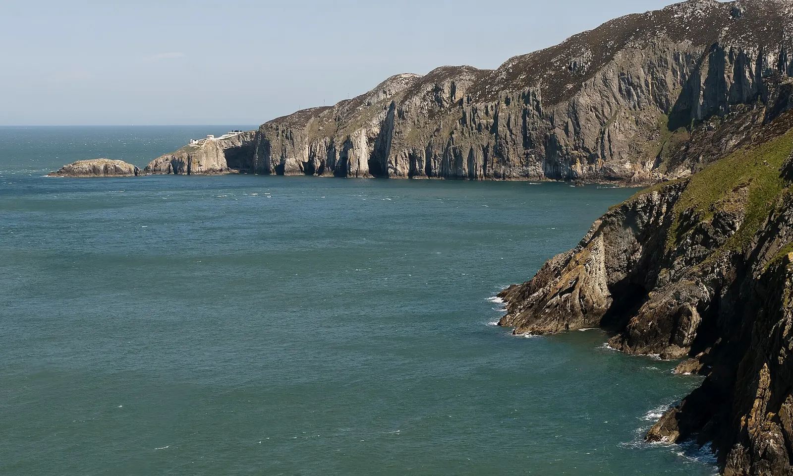
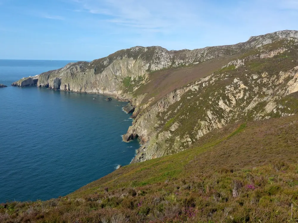
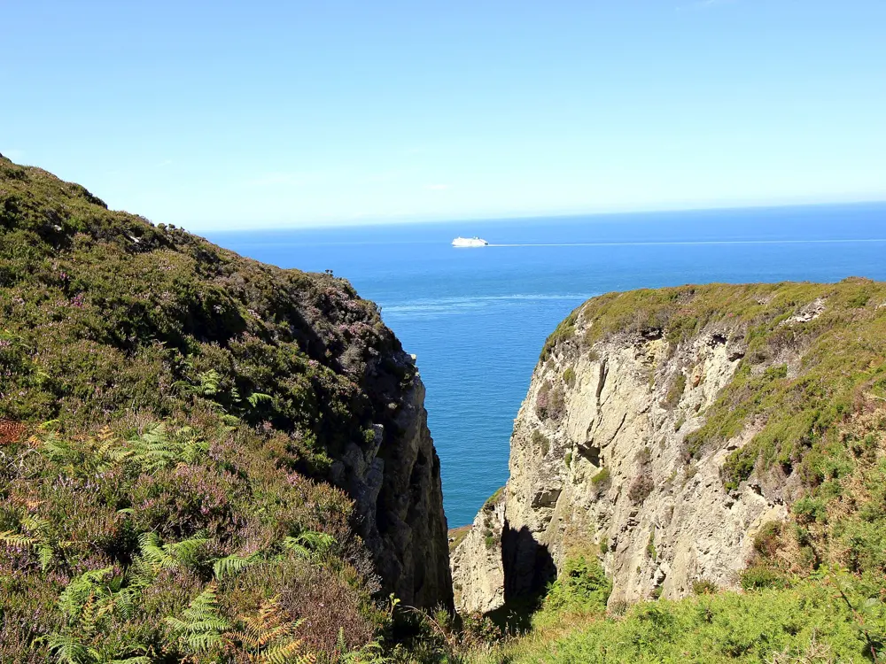
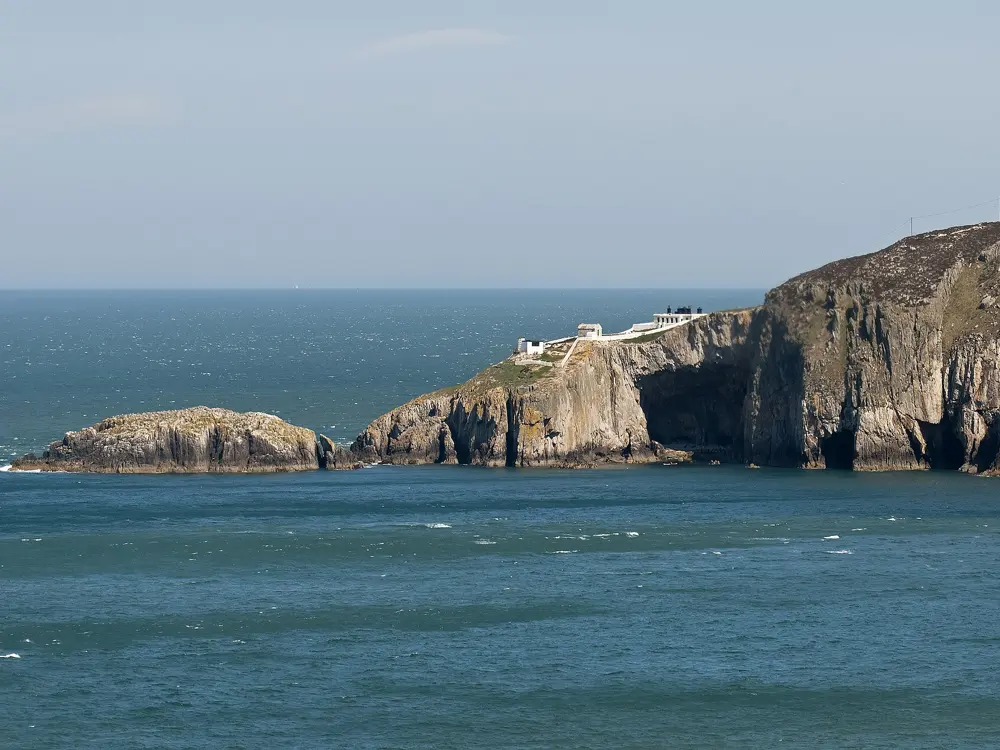
Gogarth Bay and North Stack seen from South Stack on Holy Island

Photos: Chris Gorringe (CC BY-SA 2.0), Phil Champion (CC BY-SA 2.0), Jeff Buck (CC BY-SA 2.0), Chris Gorringe (CC BY-SA 2.0)

Rock
Quartzite sea cliffs
Style
Adventurous multi-pitch trad, much of it tidal
Routes
About 90 on Main Cliff, 100 more from North Stack to Easter Island Gully
Classic
A Dream of White Horses, HVS

Why go

Gogarth is the sea cliff below Holyhead Mountain on the western tip of Anglesey, and the BMC rates its Main Cliff as one of the most important sea cliffs in the world. Climbing started here in 1964, and the walls of quartzite rise straight out of the Irish Sea, reached by abseil or by exposed scrambles. Most of the cliffs are an RSPB reserve with some of Europe's most important seabird colonies, often given as a model of climbers and conservation sharing a cliff.

The route

In Wen Zawn, A Dream of White Horses is a rising traverse of Wen Slab above the sea, first climbed by Ed Drummond and Dave Pearce in October 1968. It is graded HVS, given as 4c by some sources and 5a by others, and its last pitch is known for its wild exposure. Wen Zawn also has Spider Wall (E1) and Quartz Icicle (E2 5c). On the Upper Tier, Cordon Bleu is a VS girdle and The Strand an E2 crack, while the Main Cliff itself runs from HVS to E3 with about 20 routes at E4 and above, including Positron (E5).

When to go

Many cliffs on Holy Island face west or south and catch the sun, so climbing is possible through the year, but the bird bans decide when each cliff is open. Avoid Pentathol on Main Cliff from 1 March to 31 July for nesting guillemots. Castell Helen is closed from 1 April to 30 June. Seals breed in Parliament House Cave from late August to late October.

Getting there

Holyhead has a railway station, but no public transport goes to South Stack, so take a taxi from the station. By car, leave the A5 at the Valley traffic lights, three miles from Holyhead, take the B4545 towards Trearddur Bay and follow the road up to South Stack. Main Cliff is approached from the South Stack car park, which is paid, with a steep scrambling descent to the base.

Permits and booking

No permit is needed, but the restrictions agreed between the BMC and the RSPB are posted on the RAD and at the gearing up spots, and you should check them for every crag before you go. In Wen Zawn, keep quiet from March to June for nesting choughs.

How hard it is

This is committing climbing on often loose rock with the sea underneath. Much of Main Cliff can only be traversed at low tide or in calm seas; Dream of White Horses is reached by a 60 m abseil, and the far end of Main Cliff by a 100 m one. The BMC suggests having a few grades in hand on a first visit.

Where to sleep

Camping and overnight parking are not allowed in the South Stack car parks. Stay in Holyhead or along the road at Trearddur Bay. The RSPB reserve at South Stack has a café, and toilets open daily from 10am to 5pm.

Tips

  • Tide tables can be bought in Holyhead; many routes here are tidal.
  • Move quickly through the last pitch of Dream of White Horses, where rock pipits have nested, and do not queue there.
04 / 10

Malham Cove

Yorkshire Dales National Park, North Yorkshire, England

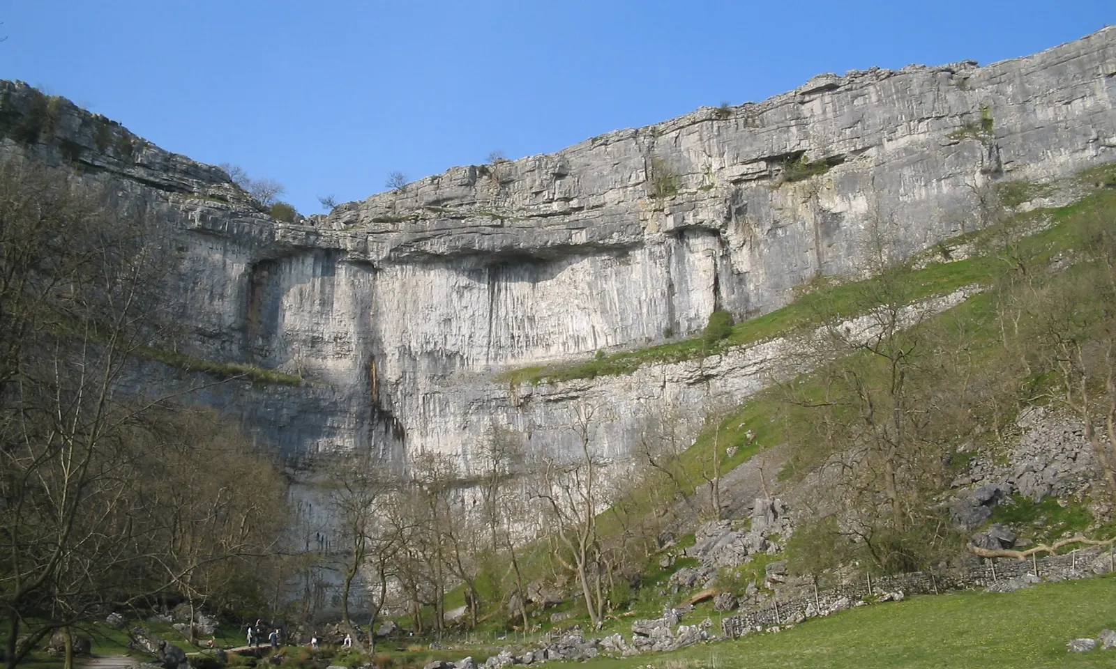
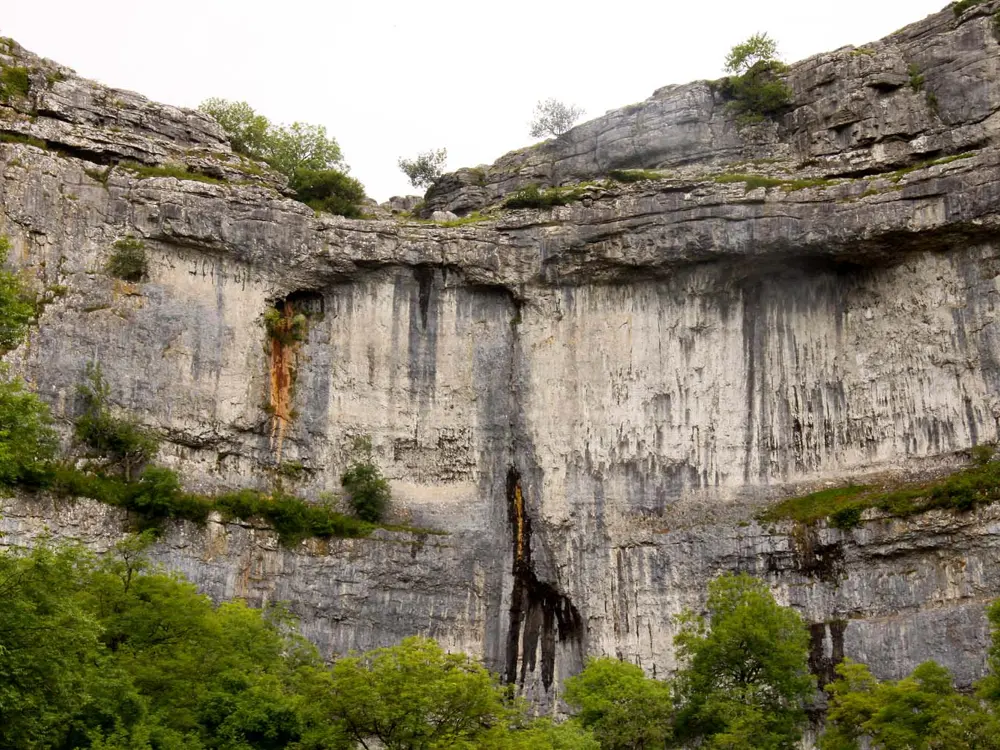
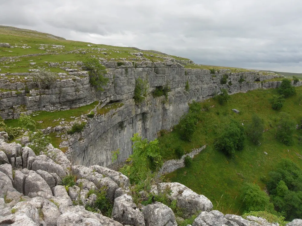
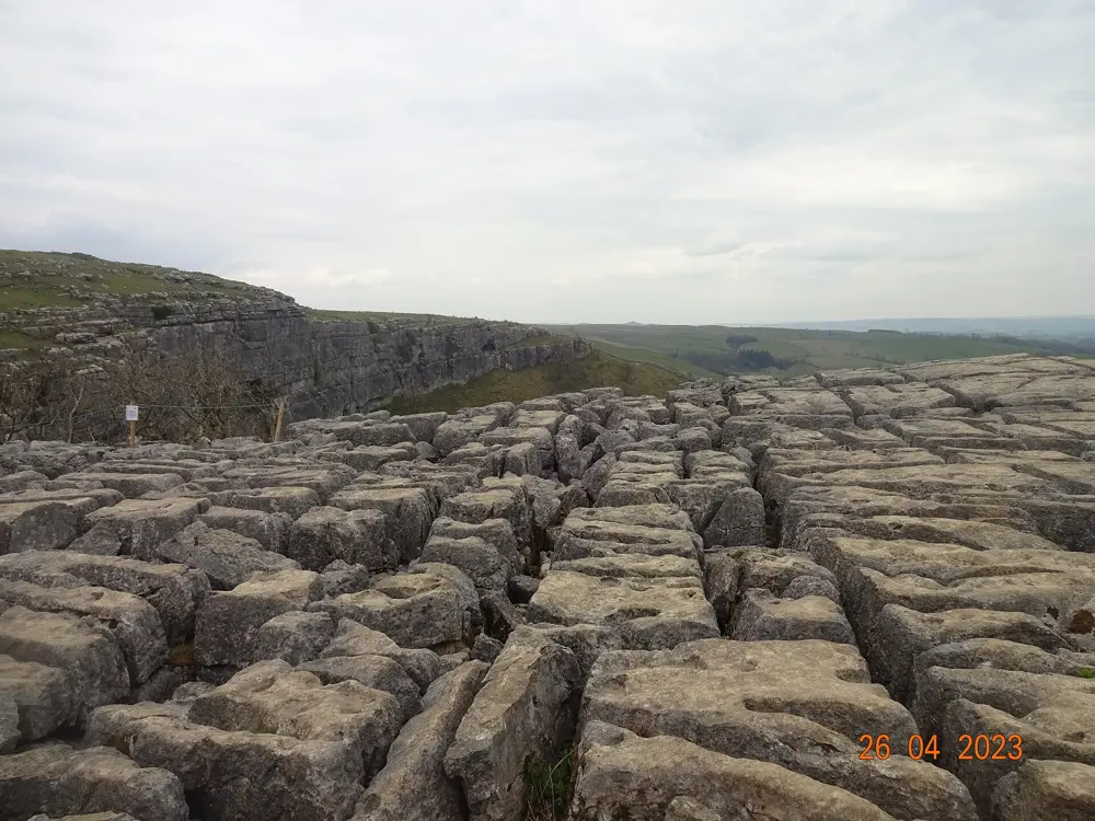
The curved limestone cliff of Malham Cove above the valley floor in the Yorkshire Dales

Photos: No machine-readable author provided. Dbenbenn assumed (based on copyright claims). (CC BY-SA 3.0), Steve Daniels (CC BY-SA 2.0), Anthony Foster (CC BY-SA 2.0), lasagna165 (CC BY-SA 4.0)

Rock
Limestone
Style
Sport, plus trad
Routes
About 280
Height
Up to 80 m

Why go

Malham Cove is a curved limestone cliff about 1 km north of Malham village, left behind by an Ice Age waterfall, with a limestone pavement on top. For British sport climbers it is the benchmark crag, the place where many have tried their first 8a and where the hardest routes in the country were set. Steve McClure's Rainman, climbed on 5 June 2017, was the first 9b in the UK. The cliff faces south, so it is a winter venue as well as a summer one.

The route

The Catwalk, the long ledge of the Lower Wall, holds most of the famous sport routes, from F6a+ to F9a+. Consenting Adults (F7a, first climbed by Mick Ryan in 1986) stays dry almost all year and is one of the most popular routes on the crag. Raindogs (F8a), first climbed by Dave Kenyon in 1986, is a benchmark of the grade, a short power endurance route with a lunge at the top. Steve McClure extended it into Rainshadow (F9a), and his Overshadow is F9a+. Trad routes run from Severe to E7.

When to go

Because the cove faces south it is popular in winter, and in summer the face can get very hot. Consenting Adults and the Catwalk routes stay dry in most weather. From 1 March to 31 July, peregrines restrict climbing on the Terrace Wall and the Carnage area of the Right Wing; in some years, as in 2023, the restriction is lifted early when the nest fails.

Getting there

Malham is reached by car from Skipton via Gargrave, or on the limited 210 bus from Skipton. From the village it is about 1 km to the cove, and about 400 stone steps on the west side, part of the Pennine Way, climb to the pavement on top.

Permits and booking

No permit is needed. A climbers' access agreement sets the peregrine restriction,. Routes right of Scorpio are not restricted, and on the Upper Central Wall the bolted routes on the right are unaffected except those that cross the main overhang. House martins often nest on the popular hard routes from May to September; avoid any route with a nest on or near it, even after the young have fledged.

How hard it is

UKClimbing suggests the best routes here are between F7a and F8c, so this is above all a crag for experienced sport climbers. The trad routes, from Severe to E7, give less experienced climbers some lines, and the Catwalk routes are short and steep, so most are climbed as single pitches from the ledge.

Where to sleep

YHA Malham is in the village, with self catering, evening meals and free parking. The cove, Gordale Scar and Malham Tarn are all within walking distance.

Tips

  • Visit Gordale Scar, a 15 minute walk from the hostel, for steep trad climbing in a limestone gorge.
  • Check the access notice each spring: the peregrine restriction depends on whether and where the birds nest that year.
05 / 10

The Cuillin and Sron na Ciche

Isle of Skye, Scotland

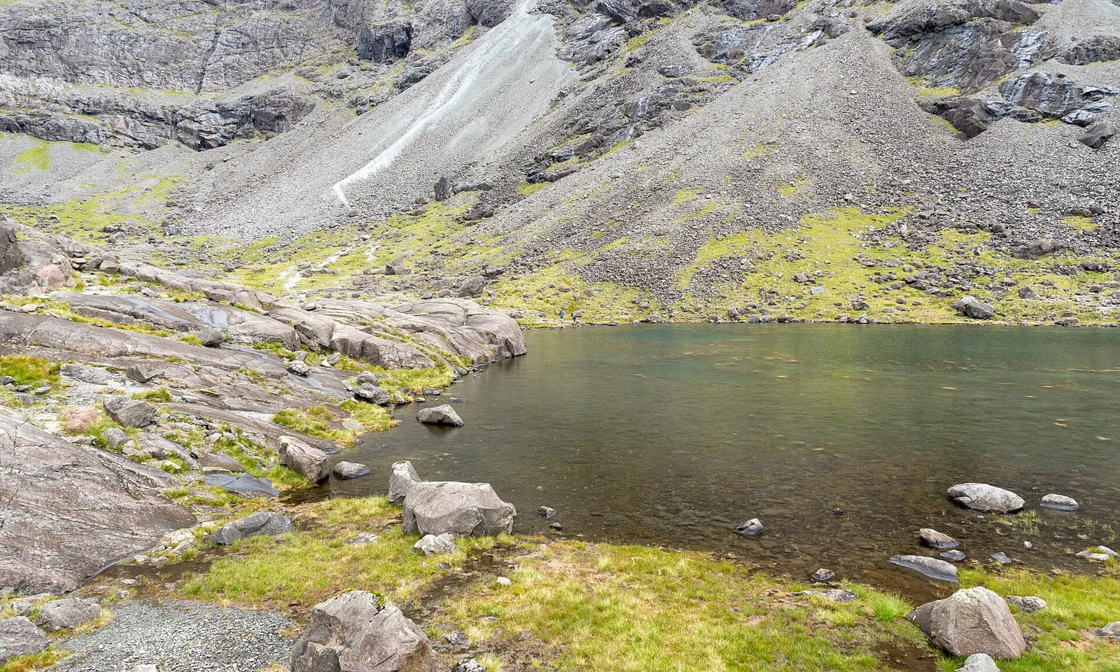
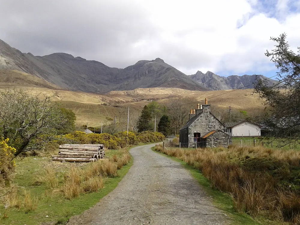
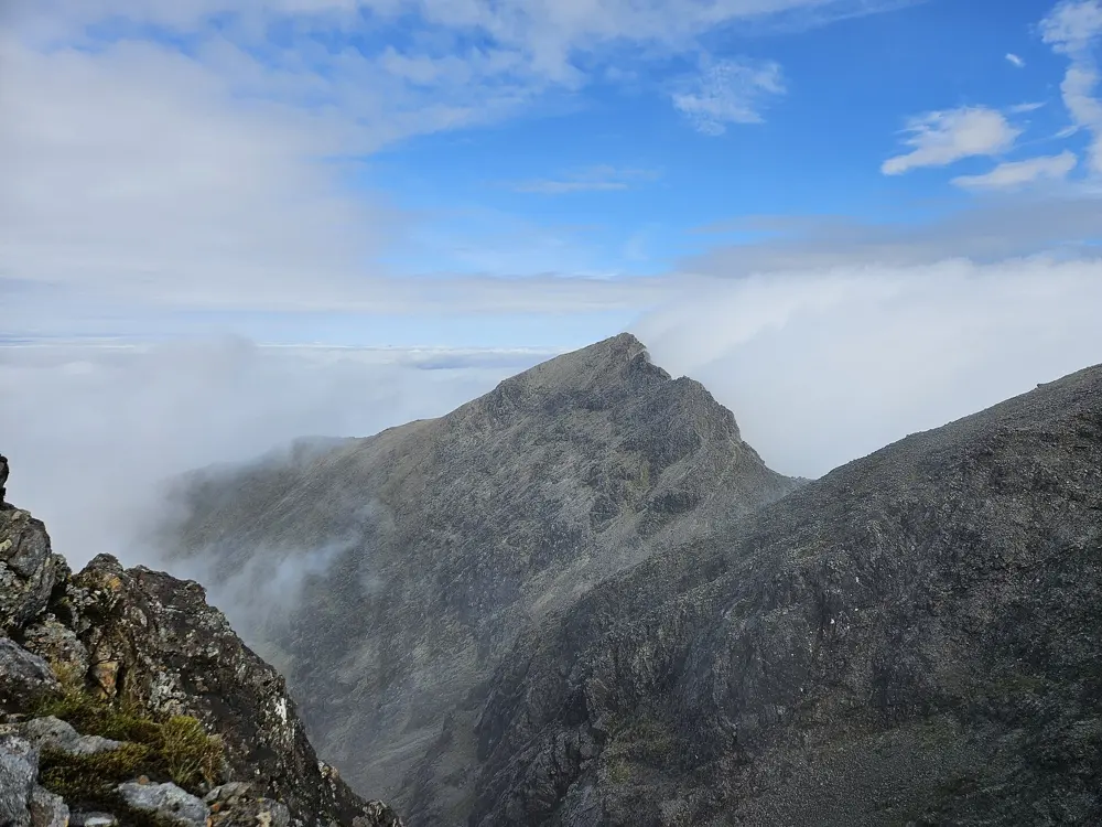
Lochan Coire Lagan below the gabbro walls of the Black Cuillin on Skye

Photos: Michal Gregor (CC BY-SA 4.0), James Allan (CC BY-SA 2.0), Benoît Vicart (CC0), Simon Höger (CC BY 4.0)

Rock
Gabbro (the Inaccessible Pinnacle is basalt)
Style
Mountain trad and roped scrambles
Grades
Moderate to E7 on Sron na Ciche
Classic
Cioch West, S 4a, 215 m

Why go

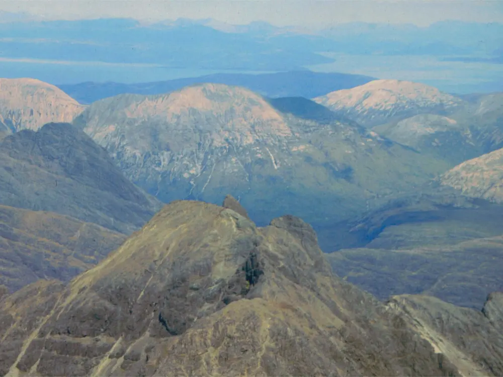
The Black Cuillin of Skye is a ridge of jagged gabbro peaks above Glen Brittle, and it holds the most mountainous rock climbing in Britain outside the winter season. Sron na Ciche, high in Coire Lagan below Sgurr Alasdair, is an outstanding gabbro cliff with routes at every grade from Moderate to E7, and the Inaccessible Pinnacle on Sgurr Dearg is the only Munro whose summit needs a rock climb. Climbing here mixes rock routes with mountaineering: long walks into the corries, route finding on big faces and descents over rough ground.

The route

On Sron na Ciche, Cioch West (S 4a, 215 m, seven pitches) leads to the Cioch, a rock knob whose shadow across the slab Professor Norman Collie spotted in the afternoon light, and whose top is reached by a spectacular but straightforward climb. Arrow Route (VD, two pitches) and Integrity (VS 4c, two pitches) are other classics, with Vulcan Wall (HVS 5a), Trophy Crack (E1 5b) and The Gathering (E7 6b) for stronger teams. The Inaccessible Pinnacle, at 985.8 m, is climbed by its east ridge, a Moderate of about 50 m in two pitches, first climbed by Charles and Lawrence Pilkington on 18 August 1880; the west ridge is a shorter Very Difficult, and most climbers abseil off the west end from a fixed anchor.

When to go

The Glenbrittle campsite is open from 1 April to 15 October in 2026, the months when most climbers come. The Inaccessible Pinnacle is basalt, which is slippery when wet, so pick a dry day for it.

Getting there

Skye is reached over the Skye Bridge. Scottish Citylink buses run from Glasgow and Inverness to Sligachan, but Glen Brittle has no regular bus, and Sligachan is about 15 miles away, so you need a car or a taxi for the last stretch. From the campsite at the end of the glen, a path climbs into Coire Lagan below the cliff.

Permits and booking

No permit is needed. The hills are remote and phone signal in Glen Brittle is poor or absent, so leave a plan with someone. In 2012 a fatal accident on Cioch Direct led climbers to report the route as unstable, so check current advice before climbing it.

How hard it is

The rock routes are graded on the British trad scale, but the approaches, route finding and descents are mountaineering, and the Cioch is a place for experienced rock climbers only. Collie's route on Sgurr Alasdair is more of a mountaineering route than a rock climb, with loose rock. On the Inaccessible Pinnacle, the east ridge is easy in grade but very exposed, with a long drop on both sides.

Where to sleep

Glenbrittle campsite, at the foot of the Cuillin, has 120 pitches, one main toilet block and no phone signal or Wi-Fi, and fills up in peak season. The Glenbrittle youth hostel is close by.

Tips

  • Book the campsite or hostel in summer: Skye fills up early.
  • Carry a current guidebook or topo: route finding on Sron na Ciche is part of the challenge.
06 / 10

Borrowdale

Lake District National Park, Cumbria, England

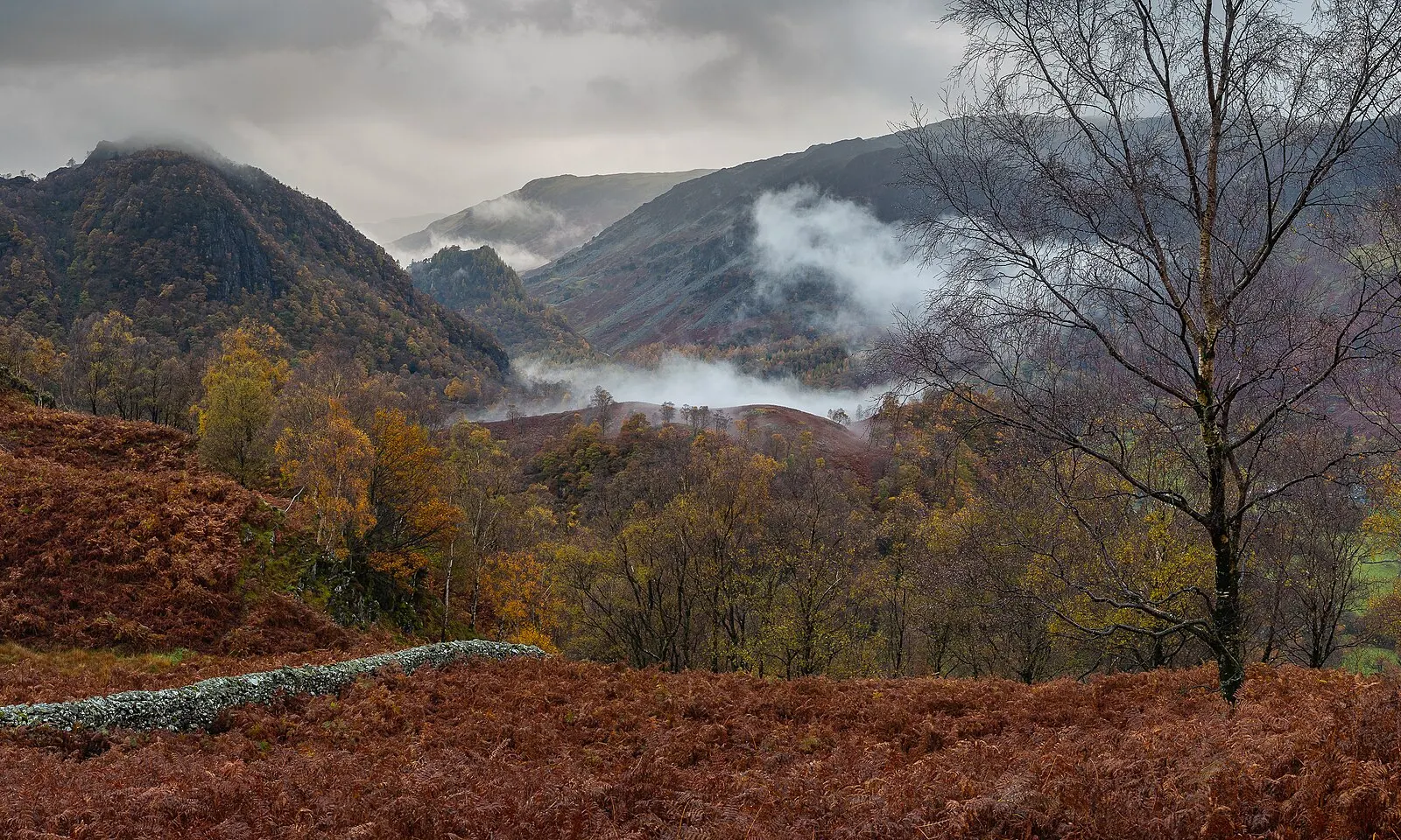
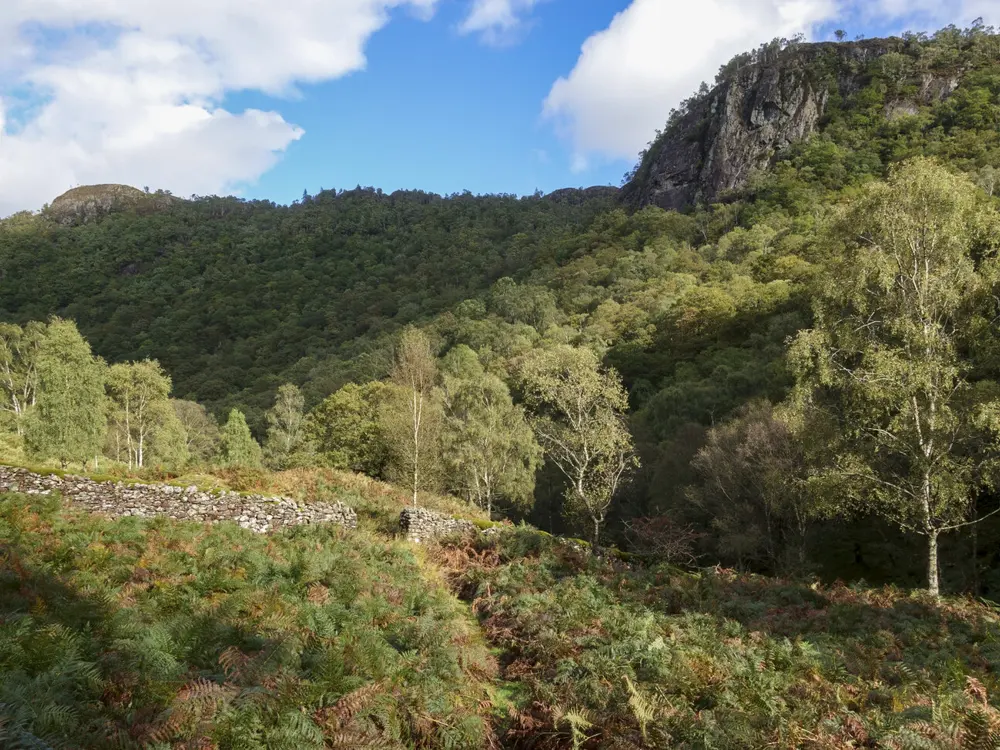
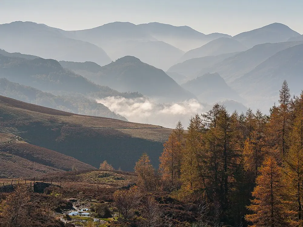
Autumn colour and low cloud in the Borrowdale valley in the Lake District

Photos: Hansheap (CC BY-SA 4.0), Antiquary (CC BY 4.0), Trevor Littlewood (CC BY-SA 2.0), Hansheap (CC BY-SA 4.0)

Rock
Borrowdale Volcanic
Style
Trad, single and multi-pitch, plus bouldering
Routes
About 150 on Shepherd's Crag alone
Classic
Little Chamonix, VD, 4 pitches

Why go

Borrowdale runs south from Keswick and Derwentwater into the high fells, and its crags line the road. The Lake District has a fair claim to be where British rock climbing began: Walter Parry Haskett Smith's ascent of Napes Needle on Great Gable, at the head of the valleys, in June 1886, is often given as its start. Borrowdale itself is the most convenient climbing in the Lakes, with roadside crags, long easy classics and the Bowderstone for boulderers, all a bus ride from Keswick.

The route

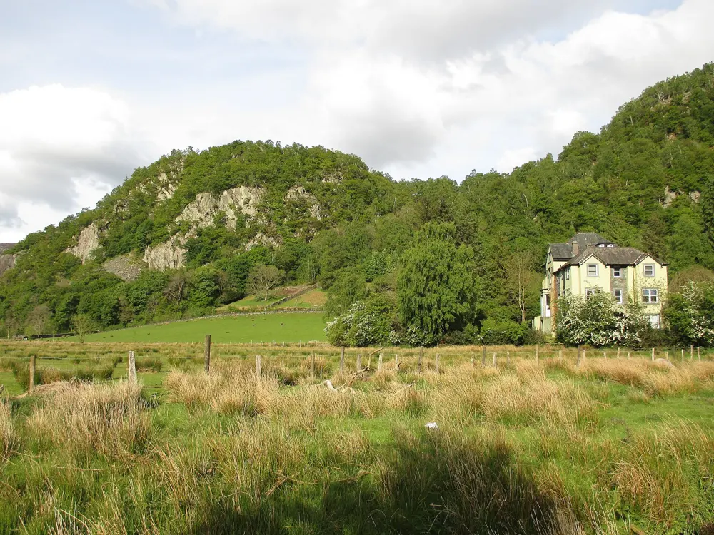
Shepherd's Crag, the best known and busiest crag in the valley, has about 150 routes and faces south. Its classic is Little Chamonix, a four pitch VD with a polished, exposed crux stepping off a sloping block under an overhang onto a steep slab. Harder lines there include MGC (E2 5c). Further up the valley on Black Crag, Troutdale Pinnacle is a six pitch, 105 m Severe, with the Direct (VS 4c) and the Superdirect (HVS 5a) as alternatives on busy days. The Bowderstone has very hard problems on a 45 degree roof.

When to go

Late spring to early autumn gives the best chance of dry rock, and most of the crags get the sun in the afternoon. Shepherd's Crag dries quickly after rain, but Black Crag seeps a lot outside the warmer months. Lake District bird nesting restrictions are reviewed each April and May and can be lifted early; the notice boards and the BMC and FRCC websites carry the details.

Getting there

Buses 77 and 78 run along Borrowdale from Keswick, and cycling is a good way to move between crags. The parking at Lodore Farm below Shepherd's Crag was closed by its owner in October 2020; the BMC asks climbers to use the Kettlewell or Bowderstone car parks instead. For Black Crag, there are small bays on the road just past the Derwent Hotel, then a steep walk up from the stream.

Permits and booking

No permit is needed. Shepherd's Crag is privately owned but on open access land. Bird nesting restrictions in the Lakes change each year, so check before you go. In January 2023 a walker reported a rockfall below the north end of Shepherd's Crag, and a loose block was reported above the chimney on Donkey Ears in 2024.

How hard it is

The grades run from Diff to E5 on Shepherd's Crag, and the big draw is the long, easy multi-pitch routes, but the most popular ones are well worn and polished, which makes them feel harder than their grade. Little Chamonix's crux often holds up novice parties, so arrive early.

Where to sleep

Seatoller Farm, at the head of the valley, is a tent site with 20 pitches, open from 1 April to 31 October 2026, with yurts on the same farm; phone signal there is poor. Keswick, at the north end of the valley, has the widest choice of places to stay.

Tips

  • Do not park on the Borrowdale road itself, where tickets are common.
  • Troutdale Pinnacle is popular, so start early to avoid queues on the first pitches.
07 / 10

West Penwith: Bosigran and Chair Ladder

Land's End peninsula, Cornwall, England

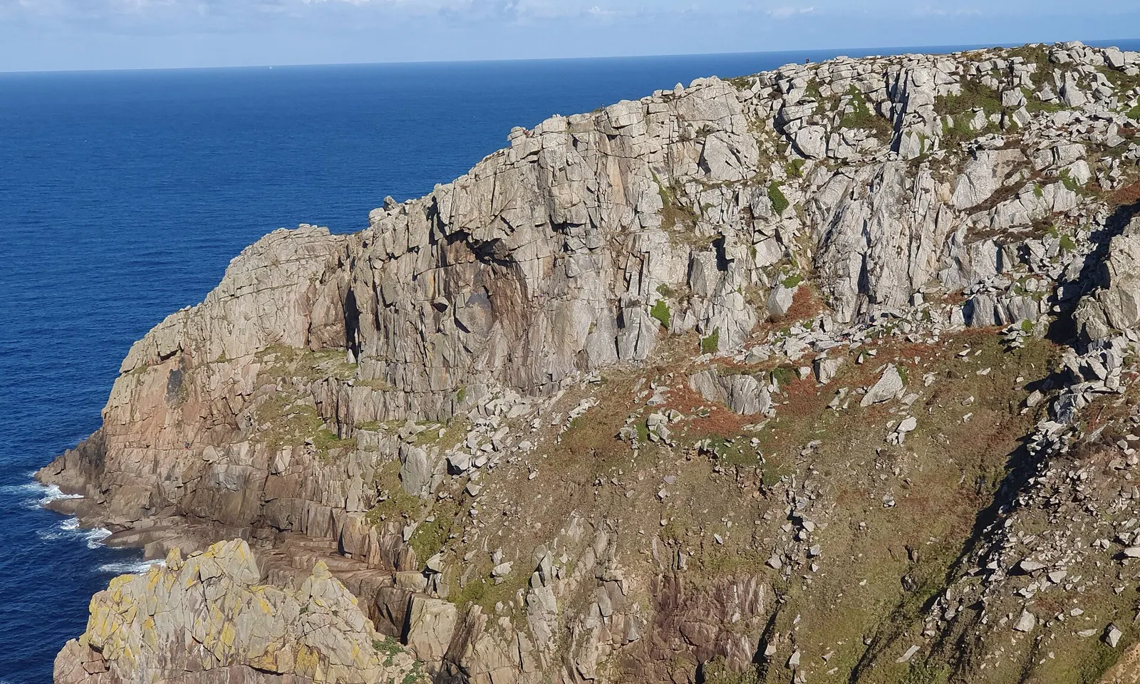
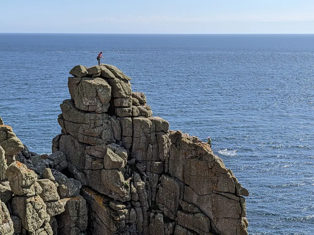
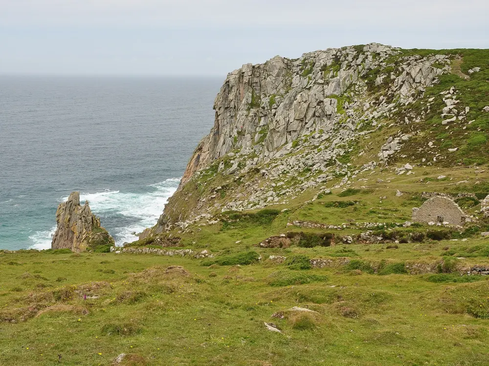
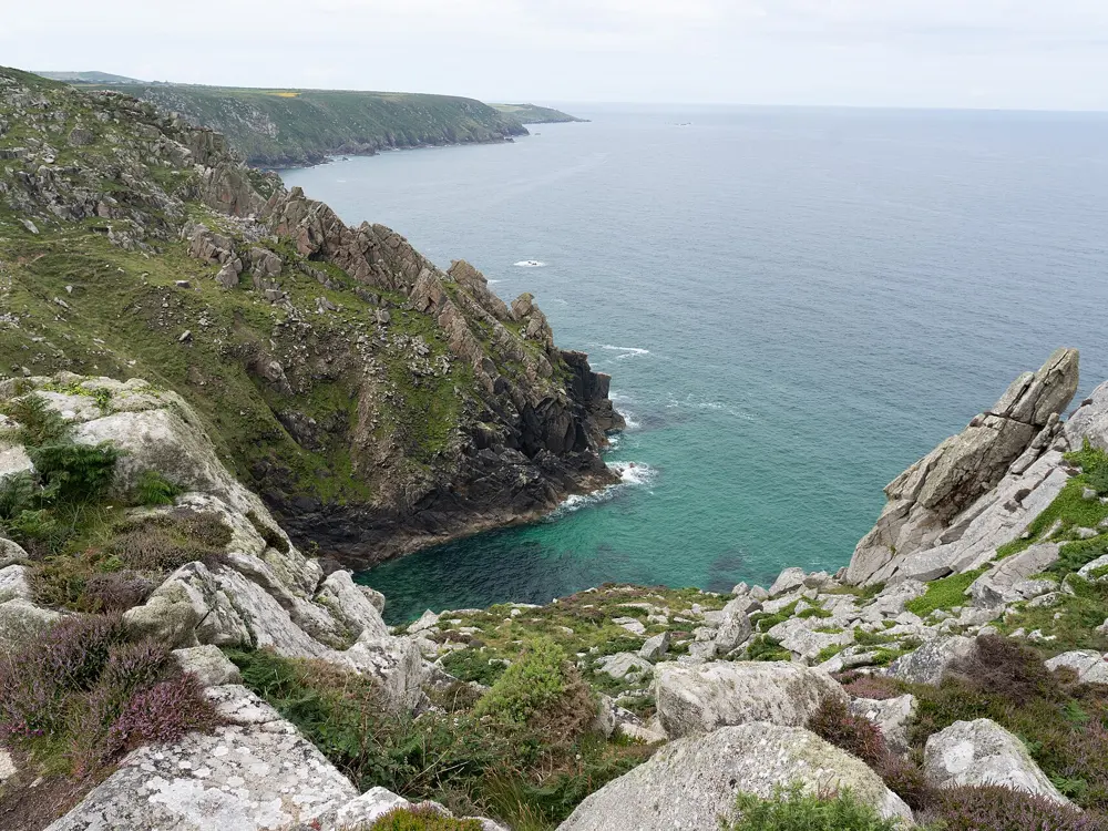
The granite sea cliff of Bosigran above the Atlantic in West Penwith, Cornwall

Photos: Jowaninpensans (CC BY-SA 4.0), David Medcalf (CC BY-SA 2.0), Nilfanion (CC BY-SA 4.0), Tom Page (CC BY-SA 2.0)

Rock
Granite sea cliffs
Style
Single and multi-pitch trad
Routes
125 on Bosigran Main Cliff, 120 on Chair Ladder
Longest
Commando Ridge, about 700 ft

Why go

At the far western tip of Cornwall, the granite of the Land's End peninsula meets the Atlantic in a ring of sea cliffs. Bosigran, on the north coast between Morvah and Zennor, is the hub, with the ruins of a tin mine above it and the Climbers' Club hut in the old mine's count house. Chair Ladder, on the south coast near Porthgwarra, is rated by the BMC as one of the premier crags in the UK. Many of the classics are at modest grades.

The route

Bosigran Main Cliff is about 300 yards long, with routes up to 200 ft. Its low grade classics are Doorpost (HS 4b, three pitches), Little Brown Jug (VS 5a) and Anvil Chorus (VS 4c), and harder lines include Bow Wall (E2 5b) and Vulcan (E5 6b). Next door, Bosigran Ridge, better known as Commando Ridge, is a VD of about 700 ft, the longest rock climb in Penwith, named after the Royal Marine commandos who trained on it in the Second World War. At Chair Ladder, multi-pitch routes start at VDiff, with South Face Direct (VS) and Pegasus (HS) among the favourites.

When to go

Bosigran is busy at Easter and on bank holidays. Chair Ladder faces mostly south and dries quickly, especially in a sea breeze. Nesting birds close all routes on Bishop's Buttress and the Zawn Rinny routes at Chair Ladder from 15 March to 30 June.

Getting there

For Bosigran, park at the National Trust car park off the B3306 between Morvah and Zennor, and follow the rocky track north to the sea, then scramble down over blocks. For Commando Ridge, follow the coast path left around Porthmoina Cove to the base of the upper ridge. For Chair Ladder, park in the pay and display car park at Porthgwarra Cove and walk up past the old coastguard cottages to the cliff top.

Permits and booking

No permit is needed. Bosigran is owned by the National Trust and is open access land, as is Chair Ladder, though restrictions can be added at short notice. In some years birds nest above Doorpost's second pitch, and the BMC asks climbers to avoid it in late spring.

How hard it is

Commando Ridge is easy in grade but very runout and seriously exposed, so the BMC says it is not for novices unless they climb with experienced companions; its first pitch is tidal and can be bypassed. Almost all routes on Bosigran Main Cliff are above the tide. Chair Ladder is reached a few hours either side of low tide by a traverse along the base, which is hazardous unless the sea is calm.

Where to sleep

The Climbers' Club's Count House, the only climbing hut in Cornwall, is about 10 minutes' walk from Bosigran and is booked through the club. Otherwise, St Just, Zennor and Penzance are the nearest bases.

Tips

  • Check both the tide table and the swell forecast before a day at Chair Ladder.
  • Porthgwarra Buttress and Hella Point, beside Chair Ladder, is much quieter, with about 30 mostly lower grade routes.
08 / 10

The Old Man of Hoy

Hoy, Orkney, Scotland

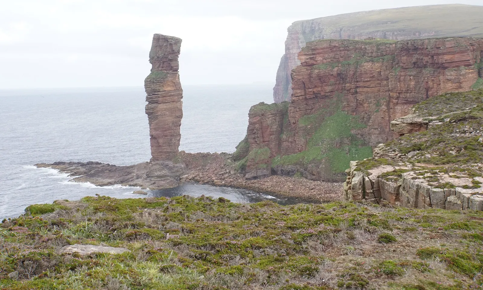
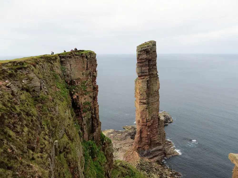
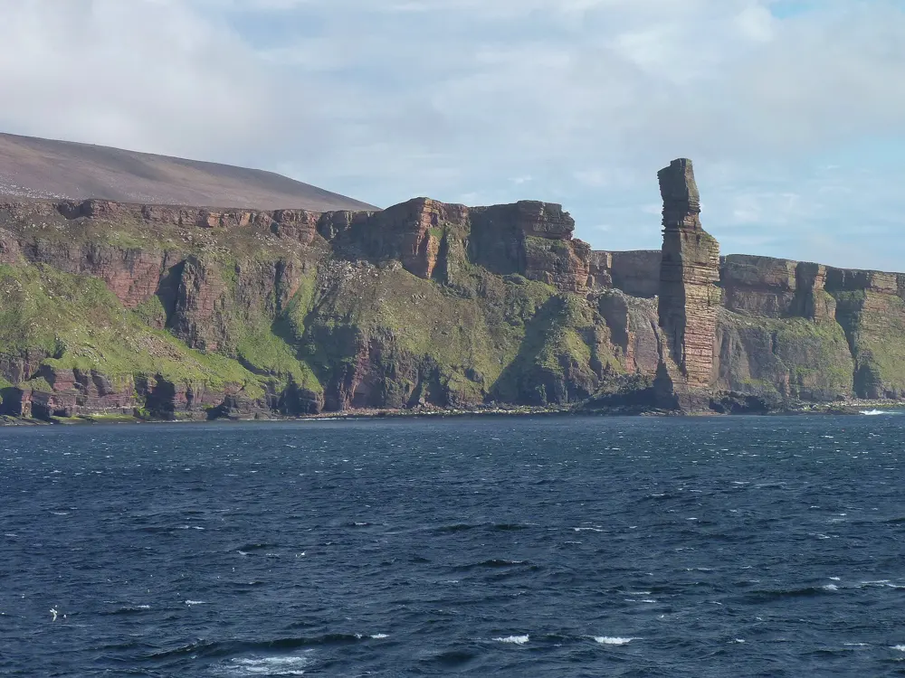
The Old Man of Hoy, a red sandstone sea stack, beside the cliffs of Hoy in Orkney

Photos: Bill Boaden (CC BY-SA 2.0), John Ferguson (CC BY-SA 2.0), Graeme Yuill (CC BY-SA 2.0), James Allan (CC BY-SA 2.0)

Rock
Old Red Sandstone on a basalt plinth
Height
137 m
Classic
East Face, E1 5b
Walk in
About 2.5 hours from Rackwick

Why go

The Old Man of Hoy is a sea stack of red sandstone, 137 m high, off the west coast of Hoy in Orkney, and it is one of the best known climbs in Britain. Chris Bonington, Rusty Baillie and Tom Patey made the first ascent on 19 July 1966, and a year later the BBC broadcast a second ascent live over three days in July 1967, watched by around 15 million people. It is a long way to come for one route, and the journey is part of it.

The route

Seven routes climb the stack, and the East Face, the line of the first ascent, is by far the most climbed, at E1 5b over five pitches. After an easy first pitch, the crux second pitch downclimbs a few metres, traverses right across sandy ledges and climbs a bottomless chimney into a corner crack, where wooden wedges from the 1960s ascents are still in place. A log book is kept in a cairn on the summit. The descent is by abseil, finishing with a free hanging abseil of about 60 m to the ground.

When to go

Most ascents are made in the warmer months, between the winter storms. Fulmars nest on the stack and vomit oil at climbers who come too close, and some parties go early in the season to avoid them and the midges. The passenger ferry to Hoy runs a reduced winter service from mid September to early May.

Getting there

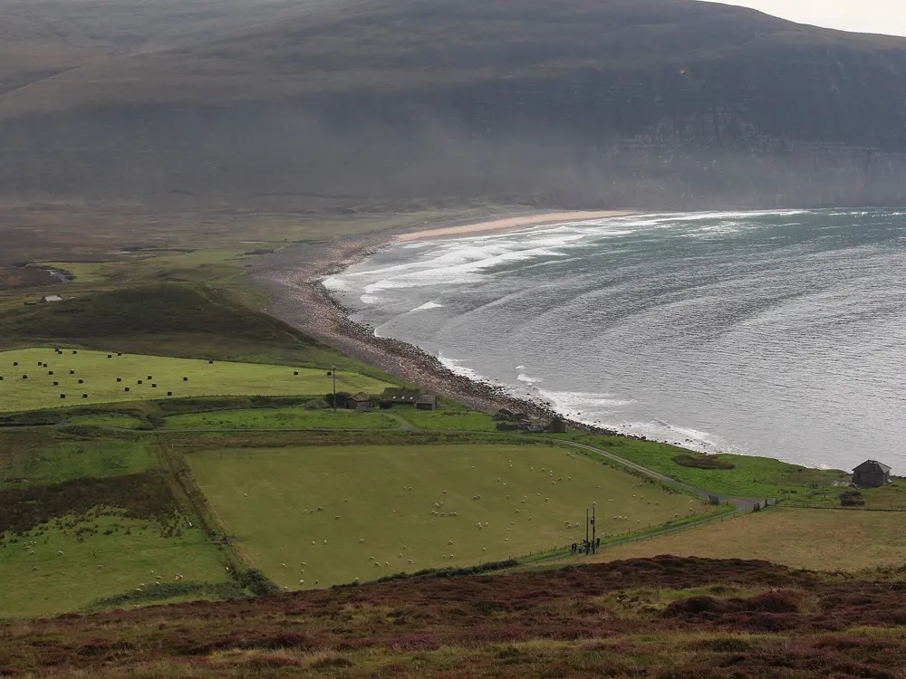
Stromness on mainland Orkney is reached by the NorthLink ferry from Scrabster, whose route passes in sight of the stack. From Stromness, a passenger ferry crosses to Moaness Pier on Hoy, calling at Graemsay, in about 25 to 30 minutes. From Moaness a road crosses the island to Rackwick Bay, with a minibus usually timed to meet the ferry. From Rackwick the path climbs through the RSPB Hoy reserve and then drops gradually to the cliff edge opposite the stack, about 7 km and 2.5 hours each way.

Permits and booking

No permit is needed. The approach crosses the RSPB Hoy nature reserve, so keep to the path. The stack is probably less than 250 years old, and a 40 m crack had opened in its south face by 1992; it may eventually collapse.

How hard it is

E1 is a serious grade, and the setting adds to it: the descent from the cliff top to the base is steep and exposed and very unpleasant in the wet, and retrieving the ropes after the abseils is notoriously prone to jamming, as the cut ropes left at the base show.

Where to sleep

At Rackwick, Burnmouth bothy, run by the Hoy Trust, is a very basic camping bothy beside the beach with space for tents, a toilet and a tap. Rackwick also has a council hostel in the old school, which one walker found closed in September 2024, so check before relying on it.

Tips

  • Plan for a spare day in case the ferry is cancelled or the weather turns.
  • Split the second pitch or belay after the traverse to reduce rope drag.
09 / 10

Pembroke

Pembrokeshire Coast National Park, south Wales

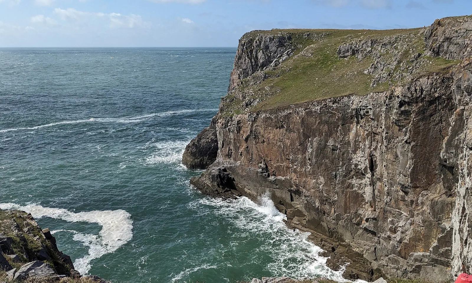
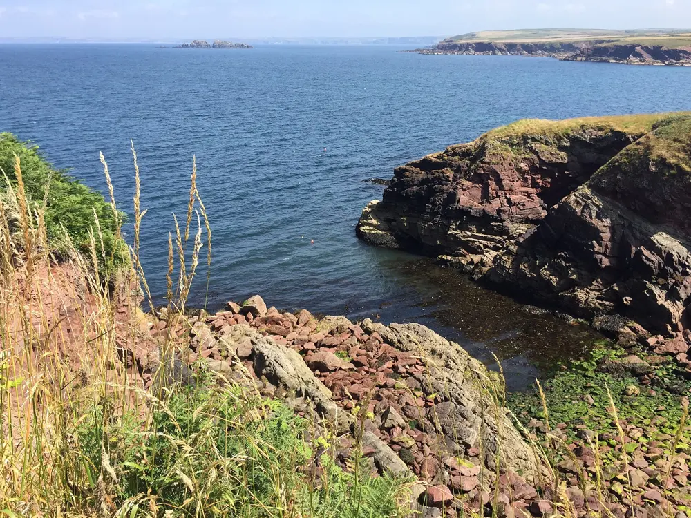
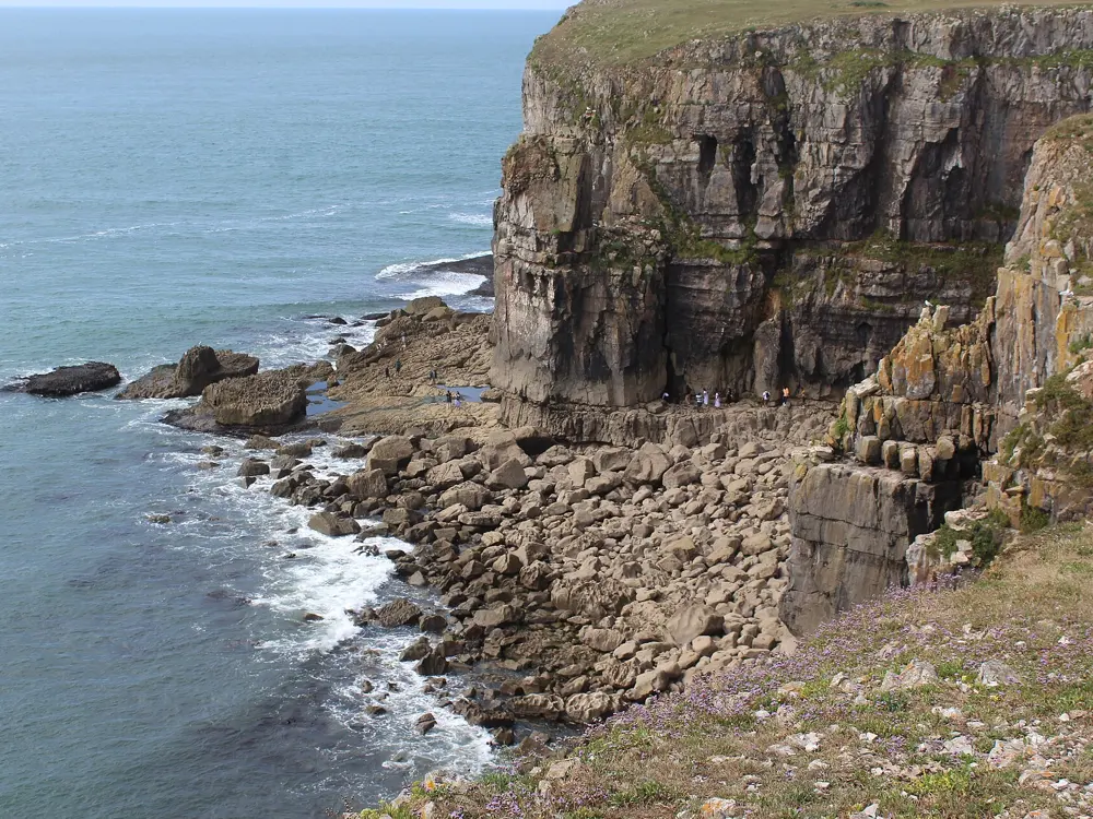
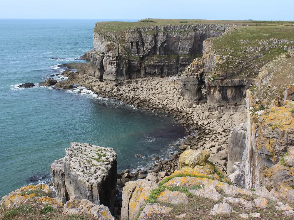
Limestone sea cliffs near Huntsman's Leap on the Pembrokeshire coast

Photos: David Medcalf (CC BY-SA 2.0), Alan Hughes (CC BY-SA 2.0), M J Roscoe (CC BY-SA 2.0), M J Roscoe (CC BY-SA 2.0)

Rock
Limestone sea cliffs
Style
Single pitch trad, mostly reached by abseil
Routes
Over 1,100 along about 15 miles of coast
Biggest crag
St Govan's Head, about 300 routes

Why go

The limestone cliffs of south Pembrokeshire hold over 1,100 routes on about 15 miles of coast, from Mother Carey's Kitchen near Lydstep in the east to the Castlemartin ranges in the west. The routes start just above the sea and most crags are reached by abseil, which gives even moderate climbs a sense of commitment. Much of the best climbing is on a working Ministry of Defence firing range, so a trip here is planned around the firing timetable, the tides and the nesting birds.

The route

St Govan's Head, at the southern tip, has about 300 routes, and the BMC rates it of international importance. Nearby, St Govan's East has 104 routes, from Calisto (E1) and First Blood (E2) to Brave New World (E4). Huntsman's Leap is a narrow zawn, developed from 1978, with 72 steep routes up to E9, reached only by abseil. In the east, Mother Carey's Kitchen near Lydstep runs from Severe to E7, and Threadneedle Street (HS) there starts with a big abseil to a tidal base.

When to go

Plan around the firing ranges and the wildlife restrictions. Many crags carry nesting restrictions from 1 March to 1 August, and seal pups can close zawns in autumn: from 6 September 2026 climbers were asked to keep out of Huntsman's Leap and stay 100 m from any seal pup for about four weeks. Range West is open on its non-firing days, in 2026 most weekends, bank holidays and all of August.

Getting there

The main car parks are at St Govan's (near Bosherston), Stack Rocks, Broad Haven South and Stackpole Quay. The St Govan's car park gate carries the current seal and restriction notices, and the National Park's restrictions leaflet is at the main car parks.

Permits and booking

Range East, from St Govan's East to Stack Rocks, is open when there is no firing, normally at weekends, on bank holidays and after 4.30pm, with night firing usually on Tuesdays and Thursdays; check the 24 hour line on 01646 662367 or the gov.uk firing notice. Range West needs a Ministry of Defence briefing, held once a year, and climbing there is by permit only. Chapel Cove is closed to climbing at all times, and no one may fix belays to MoD property or place new stakes, because of unexploded ordnance.

How hard it is

Most climbs are single pitch, but the abseil approaches, tides and sea state make them serious; check the tide table every day. In February 2026 a major rockfall hit St Govan's Head, and the BMC warns of loose rock on John Wayne and above the mid height belay of D-Day.

Where to sleep

Vicar's Field in Bosherston is a small, simple campsite with 15 tent pitches near St Govan's, aimed at walkers and climbers. The National Trust's Stackpole Centre, within walking distance of the Stackpole headlands, sleeps groups in converted farm buildings and bunkhouse rooms.

Tips

  • Read the notice board at the St Govan's gate on the day: restrictions change at short notice.
  • Report any peregrine or chough nests you see to the BMC access representative.
10 / 10

Fair Head

Near Ballycastle, County Antrim, Northern Ireland

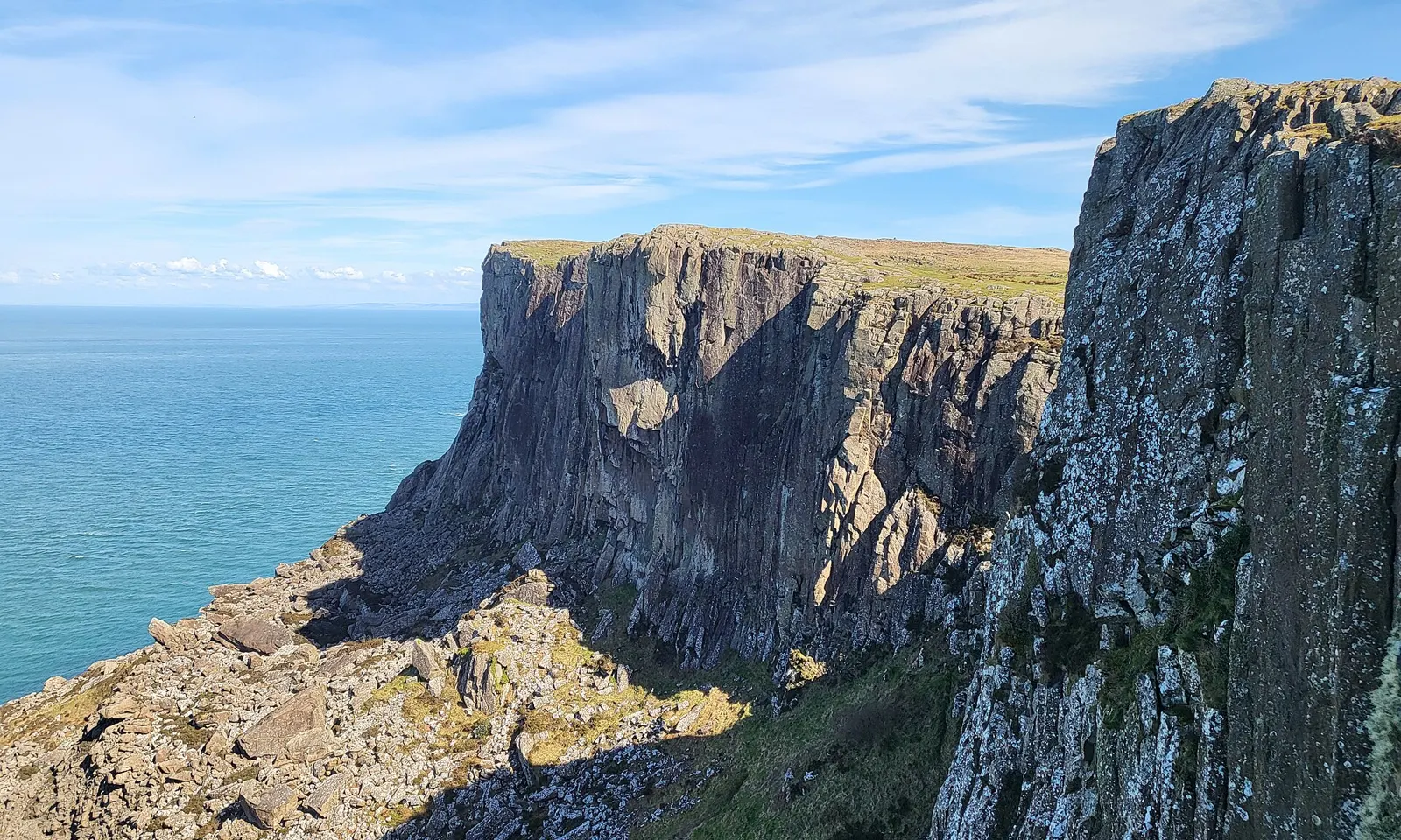
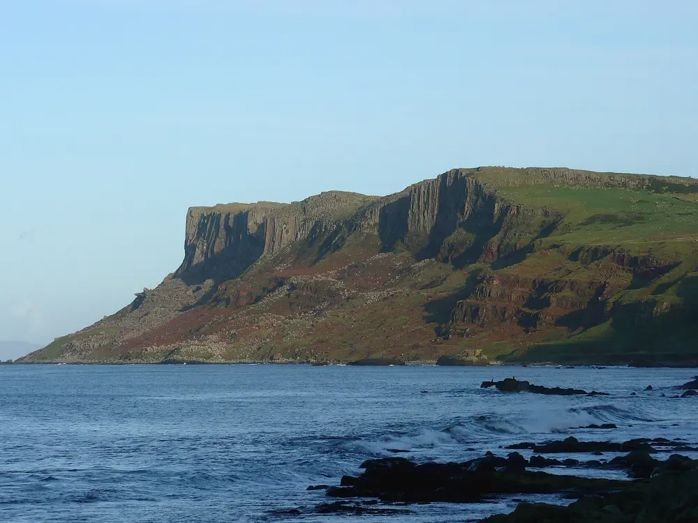
The columnar dolerite of the Rathlin Wall at Fair Head, County Antrim

Photos: Zcsharp (CC BY-SA 4.0), Jane Dickson (CC BY-SA 2.0), Ardfern (CC BY-SA 3.0), Ardfern (CC BY-SA 3.0)

Rock
Columnar dolerite
Style
Trad only, single and multi-pitch
Routes
Over 430 in the 2014 guide, up to E9
Cliff
More than 5 km long, over 100 m high in places

Why go

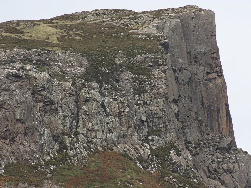
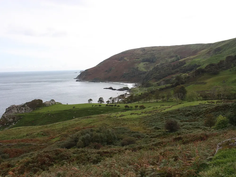
Fair Head, An Bhinn Mhór, is a headland at the north eastern corner of County Antrim, facing Rathlin Island, and its cliff of columnar dolerite runs for more than 5 km. It is the largest expanse of climbable rock in the British Isles and entirely trad, with no bolted routes. The climbing follows the joints between the organ pipe columns, so the lines are long, clean cracks and corners, often a full rope length. David Flanagan called it the jewel in the crown of Irish climbing.

The route

The Prow, the most visited area, has single pitch routes, many over 40 m, with an easy walk in: The Black Thief (VS 4b), The Fence (VS 4c), and the twin cracks of Midnight Cruiser (E1 5b) and Fireball (E1 5b), which climber.co.uk calls as good as this style of climbing gets. By the Ballycastle Descent Gully, Girona (VS, two pitches) and the shady corner of Hell's Kitchen (HVS 5a) are the best introductions to the multi-pitch walls. The Rathlin Wall holds Cuchulainn (E2, three pitches), Equinox (E2 5b) and the harder Primal Scream (E5 6b) and Complete Scream (E7 6b). In the E2 to E5 range alone there are more than 100 routes of two or three stars. The boulder field below holds over 500 problems up to 8B+.

When to go

The annual Fair Head Climbing Meet is held over the first weekend of June. The western walls get the evening sun, while the north and east facing areas stay shady and are best on warm summer days. Storms on this coast can be severe.

Getting there

Ballycastle is the nearest town. Fly to Belfast and hire a car, or take a P&O or Stena Line ferry to Belfast or Dublin. Park at Sean McBride's farm and walk to the clifftop; the Grey Man's Path runs along the foot of the cliffs.

Permits and booking

No permit is needed, but the land is private farmland and climbers are there with the landowners' permission; the National Trust holds a lease only on the land to the east. Sean McBride, whose land you cross, has helped with rescues and hosts the climbing meet, so support him by using his car park and campsite and follow any requests on site.

How hard it is

Grades run from VS to E9, and there is little below VS, so Fair Head suits intermediate and expert climbers rather than beginners. Many routes are long and need abseil approaches; a 100 m static rope lets you abseil straight to the routes from big clifftop boulders and avoid the slippery, ankle breaking boulders at the base. Carry twin 60 m ropes and at least a double set of cams and wires, with triples for the long cracks.

Where to sleep

Sean McBride allows camping near his car park for a small fee, with a fresh water tap. Ballycastle has hostels, hotels and pubs.

Tips

  • The Mountaineering Ireland guide, Fair Head Rock Climbing (2014), covers the whole cliff.
  • Choose a wall by the weather: westerly walls for evening sun, northern ones on hot days.

Sources

Distances, heights, seasons and permit rules were checked against these pages. Rules change, so check the park or trail authority before you go.